|
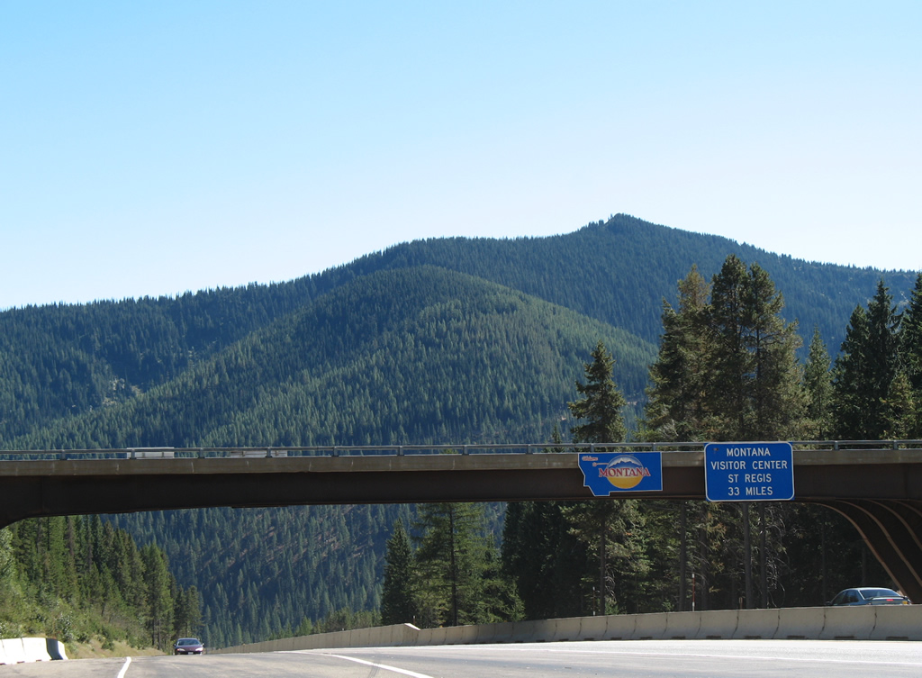
| Interstate 90 enters Mineral County, Montana and Mountain Time Zone at the folded diamond interchange (Exit 0) at Lookout Pass (elevation 4,680 feet). Roland Point (elevation 5,374 feet) in Shoshone County, Idaho rises beyond the welcome sign and the Lookout Pass Ski Area Road overpass. Tourist information is available at a visitor center in St. Regis while the first rest area lies five miles ahead near Taft. 09/01/06 |
|
| Leaving the diamond interchange (Exit 75) with Montana Secondary Route 507/Business Loop I-90 (Railroad Avenue), Interstate 90 travels 1.2 miles through the town limits of Alberton. 09/01/06 |
|
| Alberton (population 452 per the 2020 census) lies within a valley along both Interstate 90 and the Clark Fork river south of Ninemile Divide. 09/01/06 |
|
| S-507 follows old U.S. 10 (Railroad Avenue and Adams Street) 2.533 miles through Alberton between Exits 77 and 79. The route doubles as Business Loop I-90. 09/01/06 |
|
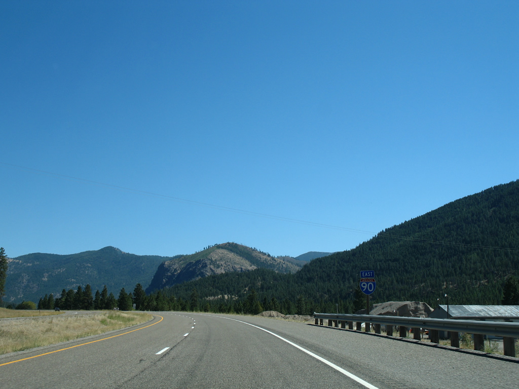
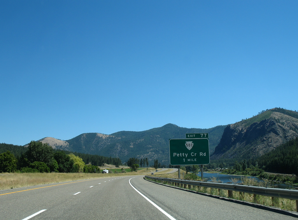
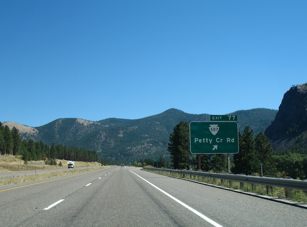
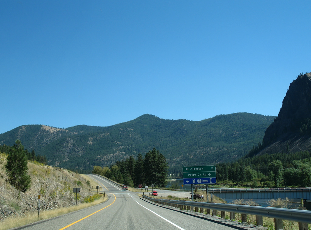
| Exit 77 leaves Interstate 90 east for S-507 (Adams Street) back into Alberton and Petty Creek Road south across the Clark Fork river to adjacent Lothrop. 09/01/06 |
|
| Interstate 90 enters Missoula County at the Exit 77 gore point. Exit 77 lowers to S-507 west to Alberton and Petty Creek Road south into Lolo National Forest west of Petty Mountain. 09/01/06 |
Page Updated 07-12-2013.

 East
East