|
| Six miles north of Interstate 10 (Exit 44) is the SR 59 merge with U.S. 31 at Stapleton. The tandem join together along the Gulf Shores Parkway from Pine Haven to the Baldwin County seat of Bay Minette. 04/09/09 |
|
| U.S. 31 travels ten miles from its beginning in Spanish Fort to Stapleton and SR 59. The two lane roadway joins Gulf Shores Parkway at a traffic light. 04/09/09 |
|
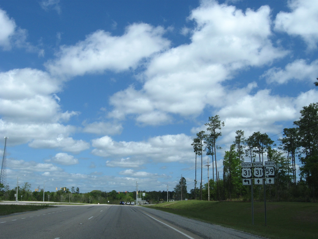
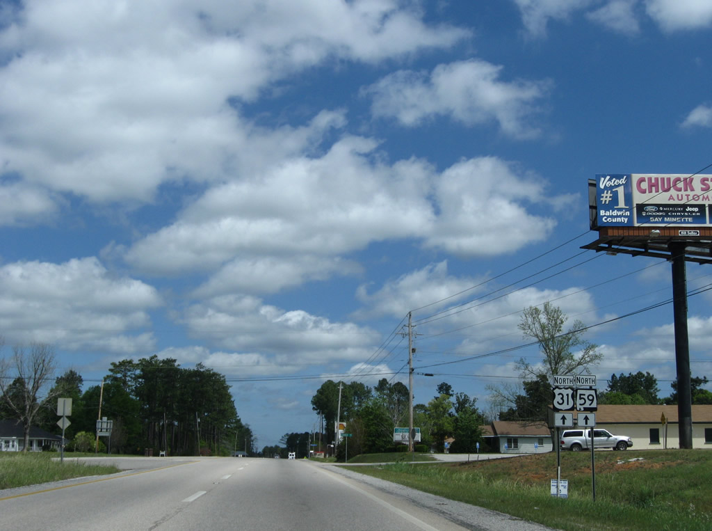
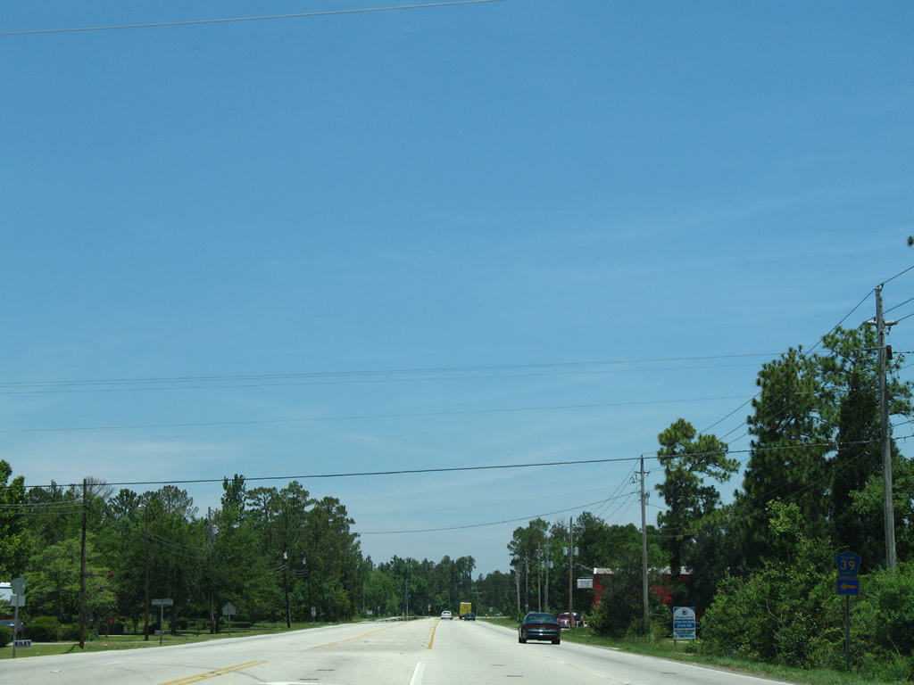
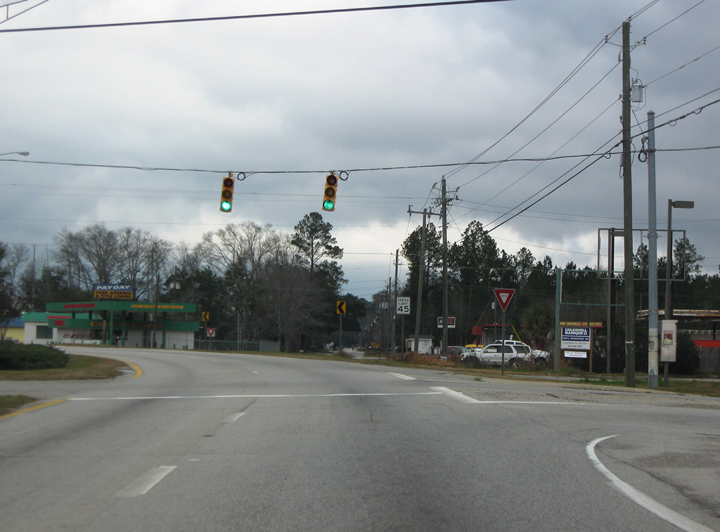
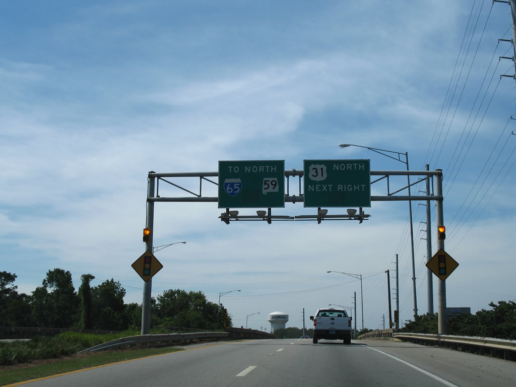
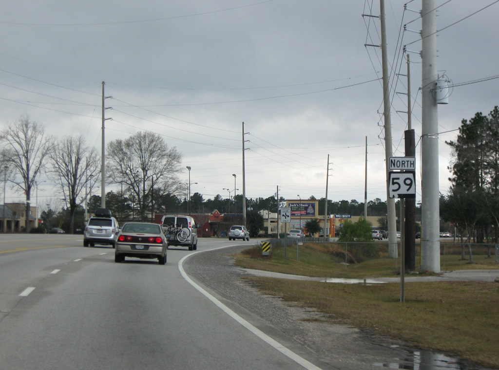
| U.S. 31/SR 59 combine north ahead of the unincorporated community of Stapleton. 04/09/09 |
|
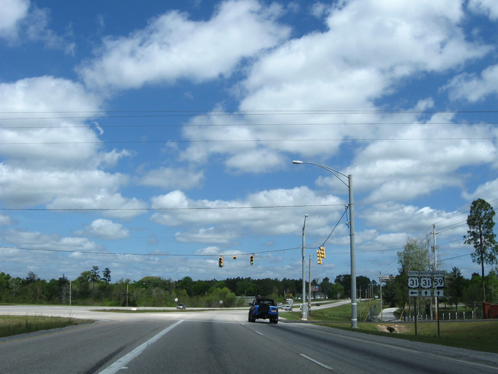
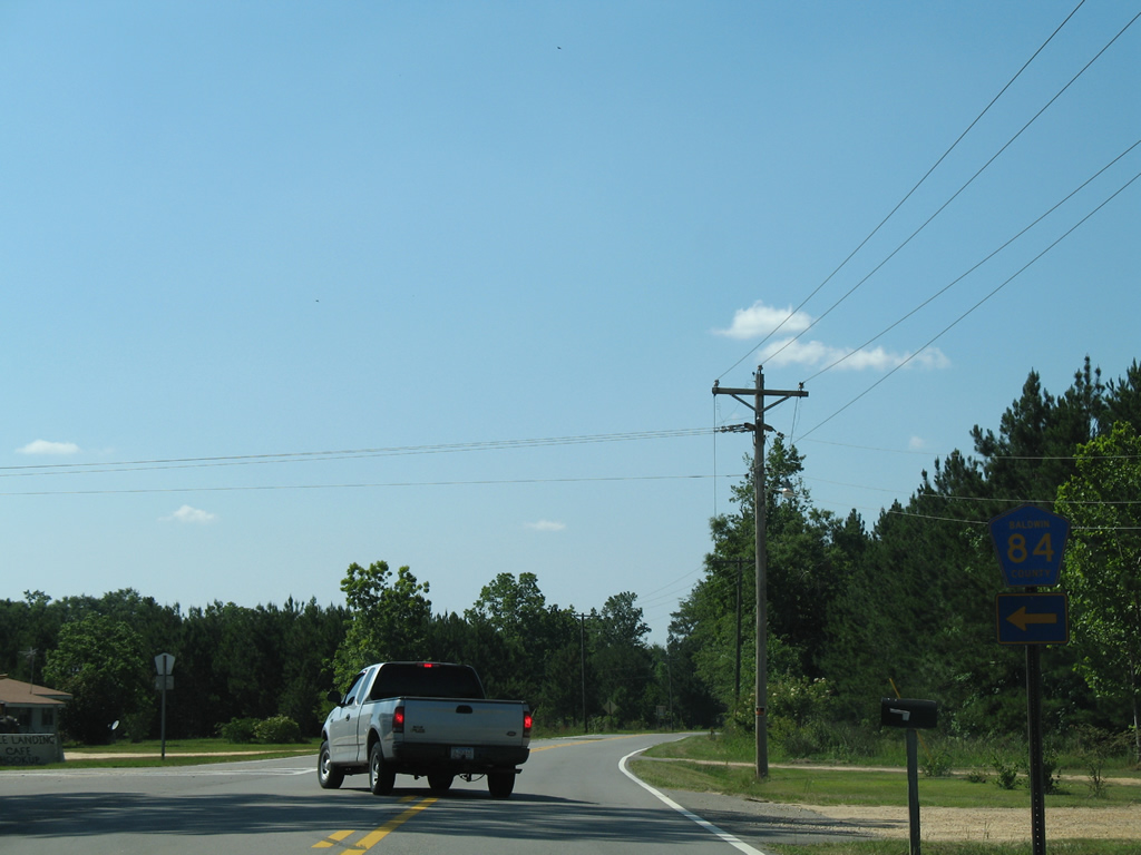
| Trailblazers for U.S. 31/SR 59 precede Church Street along Gulf Shores Parkway northbound at Stapleton. 04/09/09 |
|
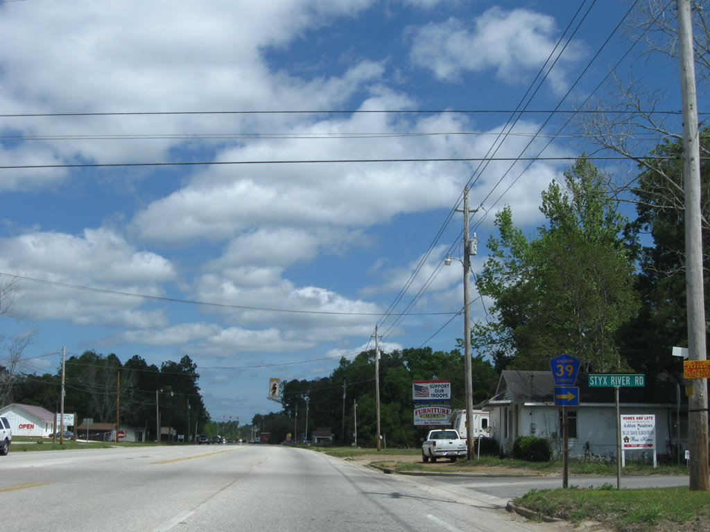
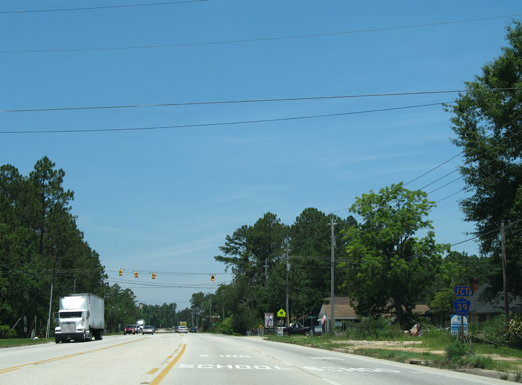
| CR 39 (Styx River Road) spurs 2.8 miles from U.S. 31/SR 59 (Gulf Shores Parkway) to end at a hunting area east of Stapleton. 04/09/09 |
|
| The western branch of CR 39 angles 5.2 miles northwest from Stapleton to CR 40 near Whitehouse Forks. 06/06/06 |
|
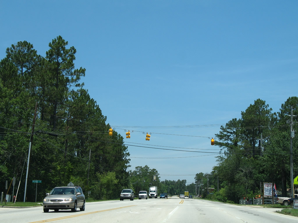
| A set of flashers operate along U.S. 31/SR 59 at Ryland Street. Ryland Street is a residential street serving an elementary school. 06/06/06 |
|
| Beyond a short overlap with CR 40, CR 39 continues to CR 138 (Hurricane Road) near Crossroads, 7.5 miles northwest from Stapleton. 06/06/06 |
|
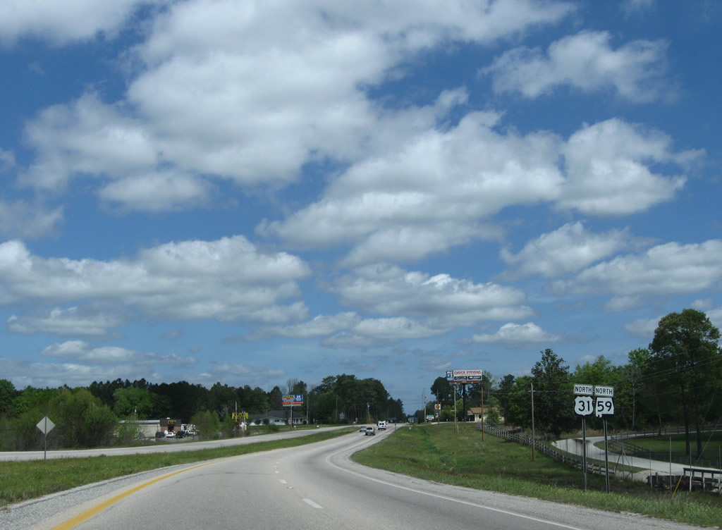
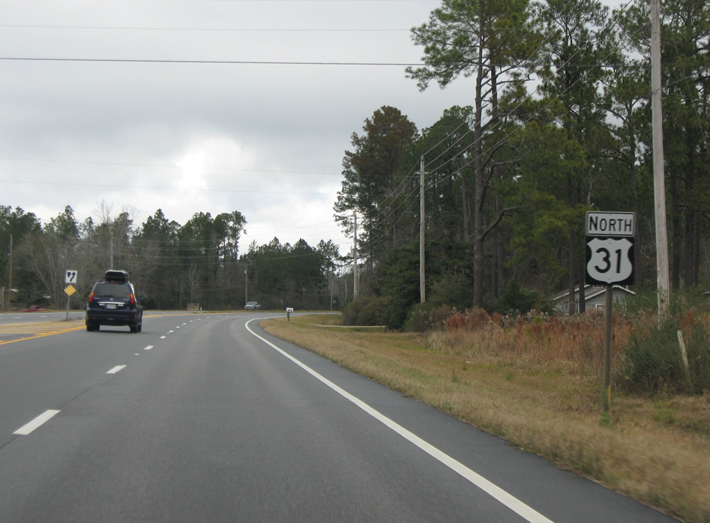
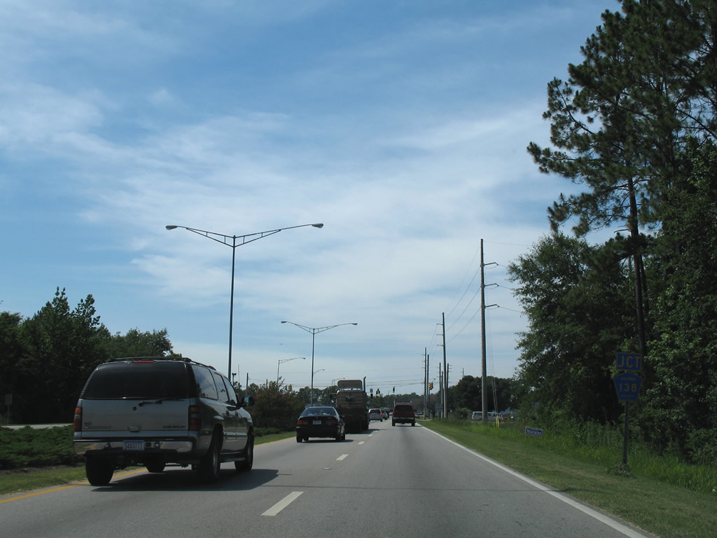
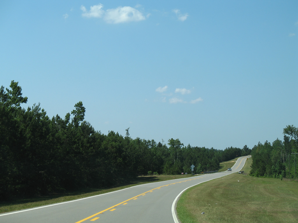
| Gulf Shores Parkway expands with the roadways separated by a grassy median and a 65 MPH speed limit between Stapleton and the county seat. 01/01/10 |
|
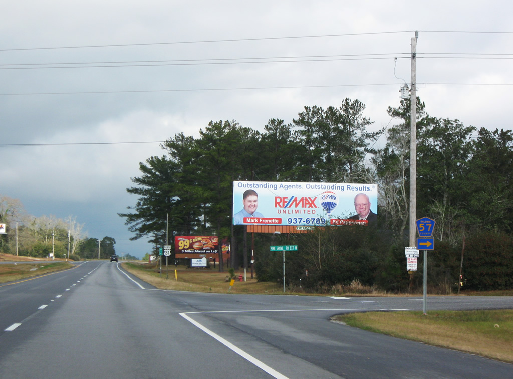
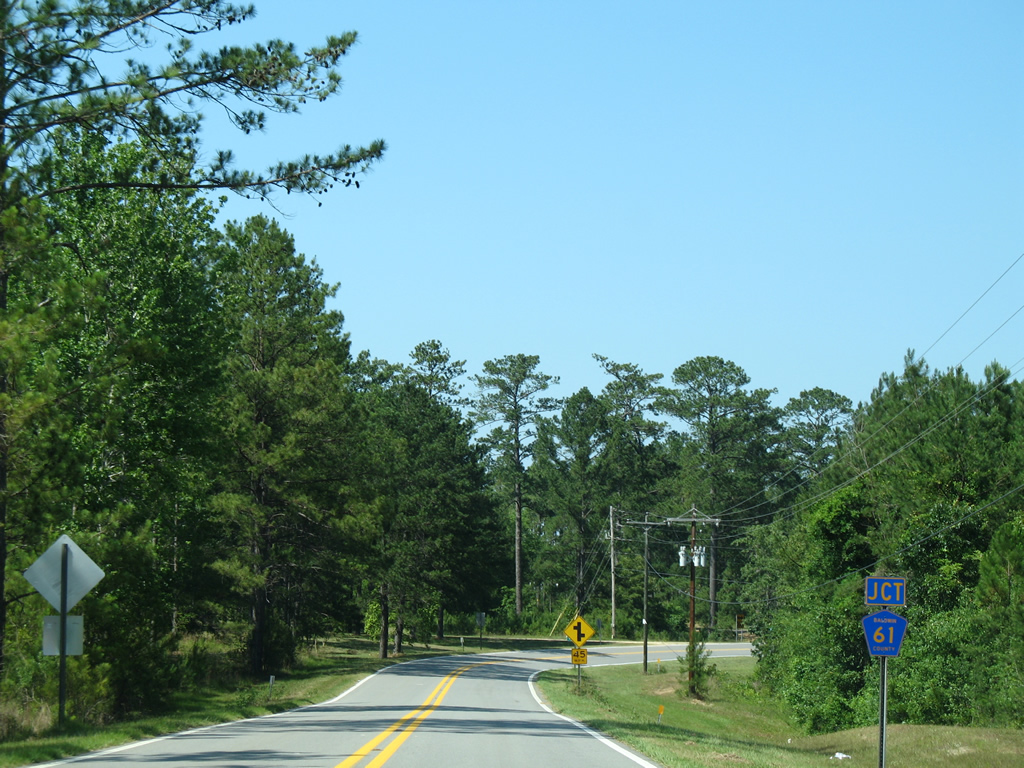
| CR 57 (Pine Grove Road Extension) loops east from U.S. 31/SR 59 onto Pine Grove Road north through the industrial south side of Bay Minette. CR 57 is only signed at the intersection with Gulf Shores Parkway. 01/01/10 |
|
| Reassurance shield posted after CR 57 (Pine Grove Road Extension) east on U.S. 31/SR 59 north. 06/06/06 |
|
| Dickman Road links Gulf Shores Parkway with an industrial park and CR 40 (Nicholsville Road) to the east. Freeview Road spurs west to the Douglasville community in south Bay Minette. 01/01/10 |
|
| U.S. 31/SR 59 enter the Bay Minette city limits near CR 40 (Old Daphne Road). Gulf Shores Parkway becomes an arterial with industrial type businesses, strip malls and car dealerships north from CR 138 (W Hurricane Road). CR 138 was SR 138 until sometime after 1982. 06/06/06 |
|
| W Hurricane Road leads CR 138 west through the Douglasville community in Bay Minette. Beyond the city limits, CR 138 advances to Crossroads at SR 225 (Blakeley Road) and CR 86. 06/06/06 |
|
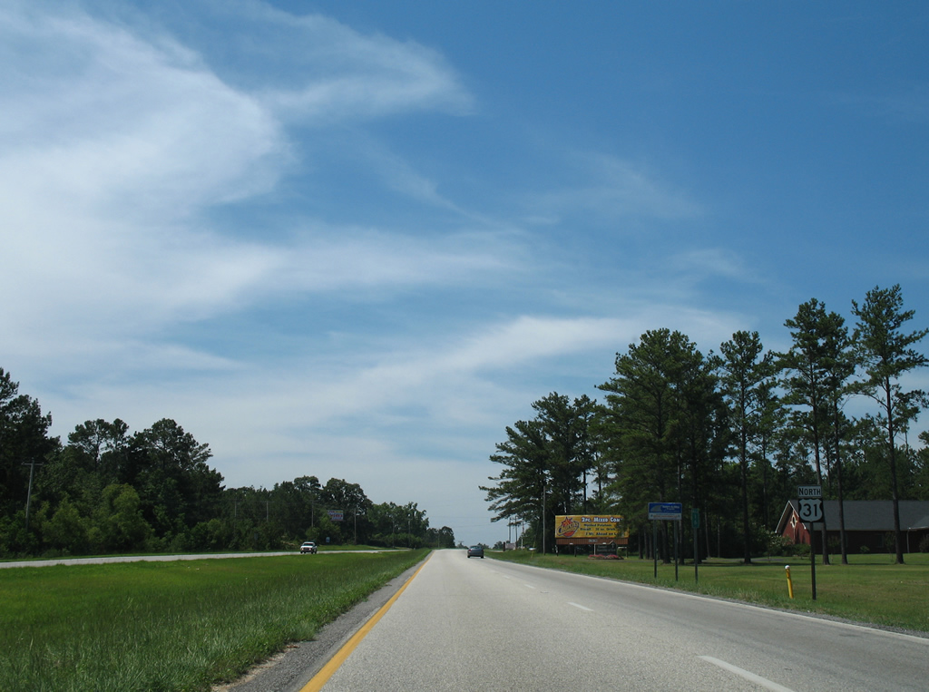
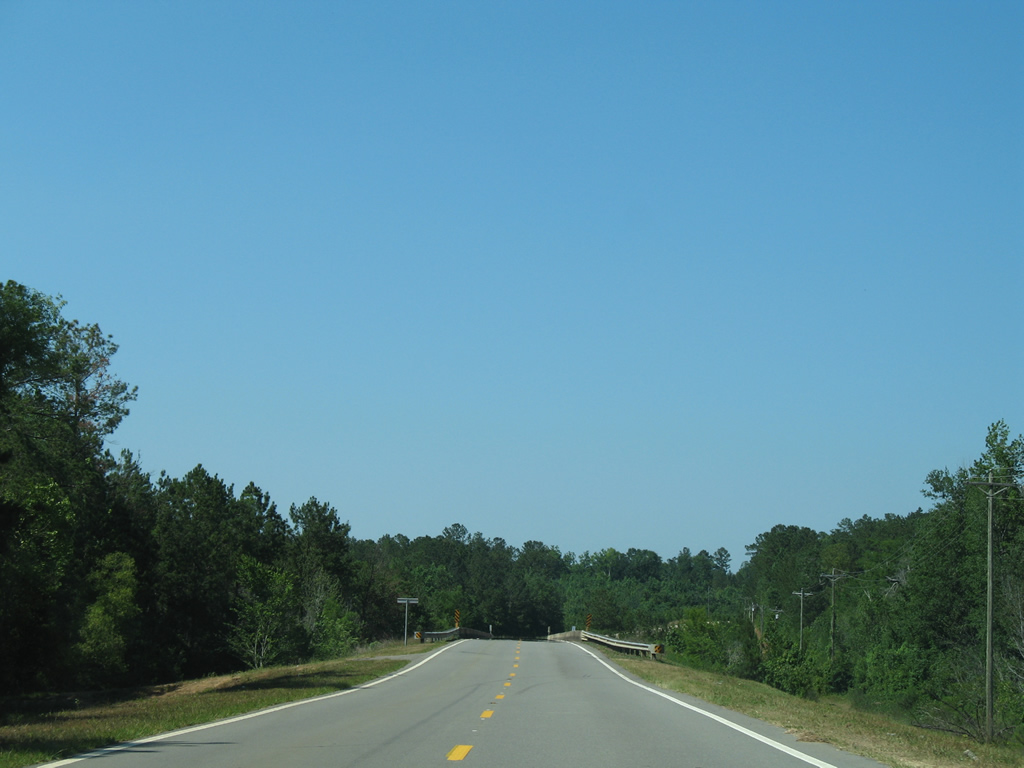
| Continuing north from CR 138 along U.S. 31/SR 59. 06/06/06 |
|
| U.S. 31/SR 59 separate beyond the CSX Railroad underpass west of Downtown Bay Minette. Bypassing the city street grid to the northwest, SR 59 continues north along McMeans Avenue (Gulf Shores Parkway). U.S. 31 turns east on D'Olive Street to Courthouse Square. 06/06/06 |
|
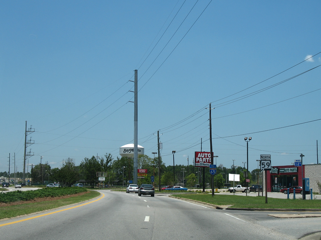
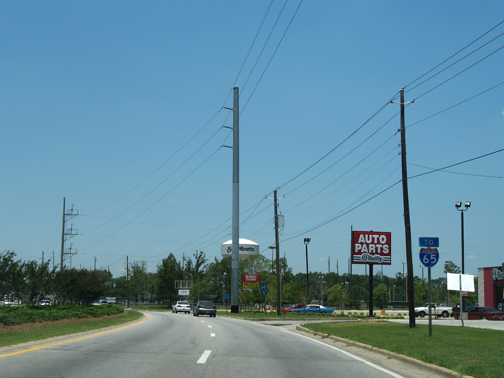
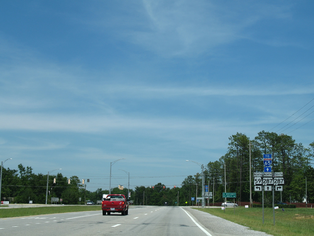
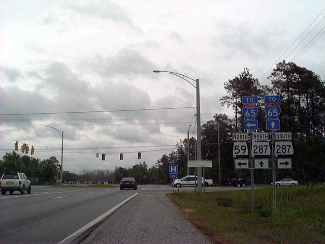
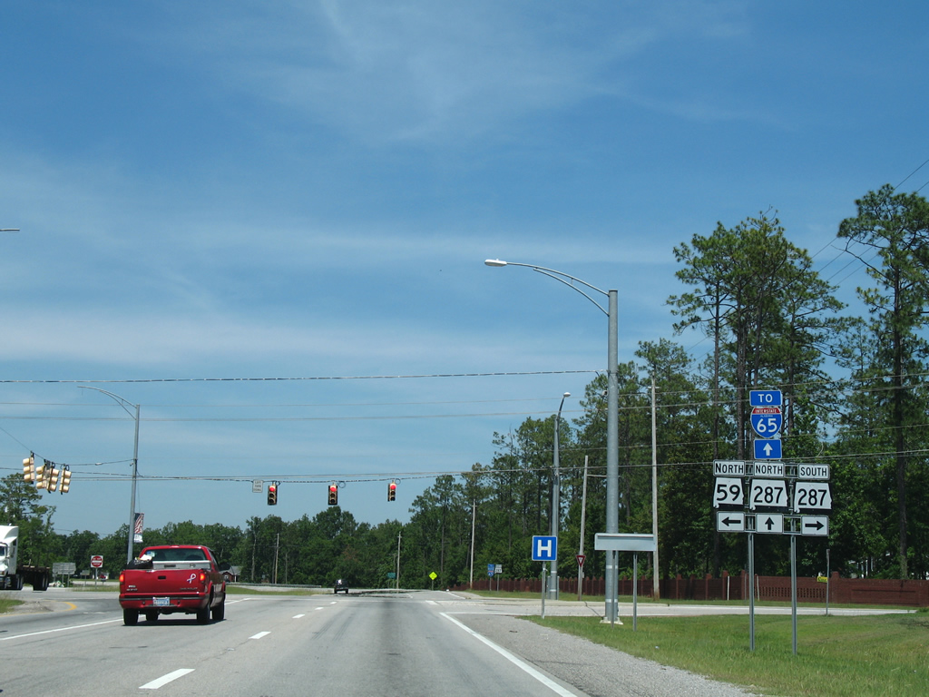
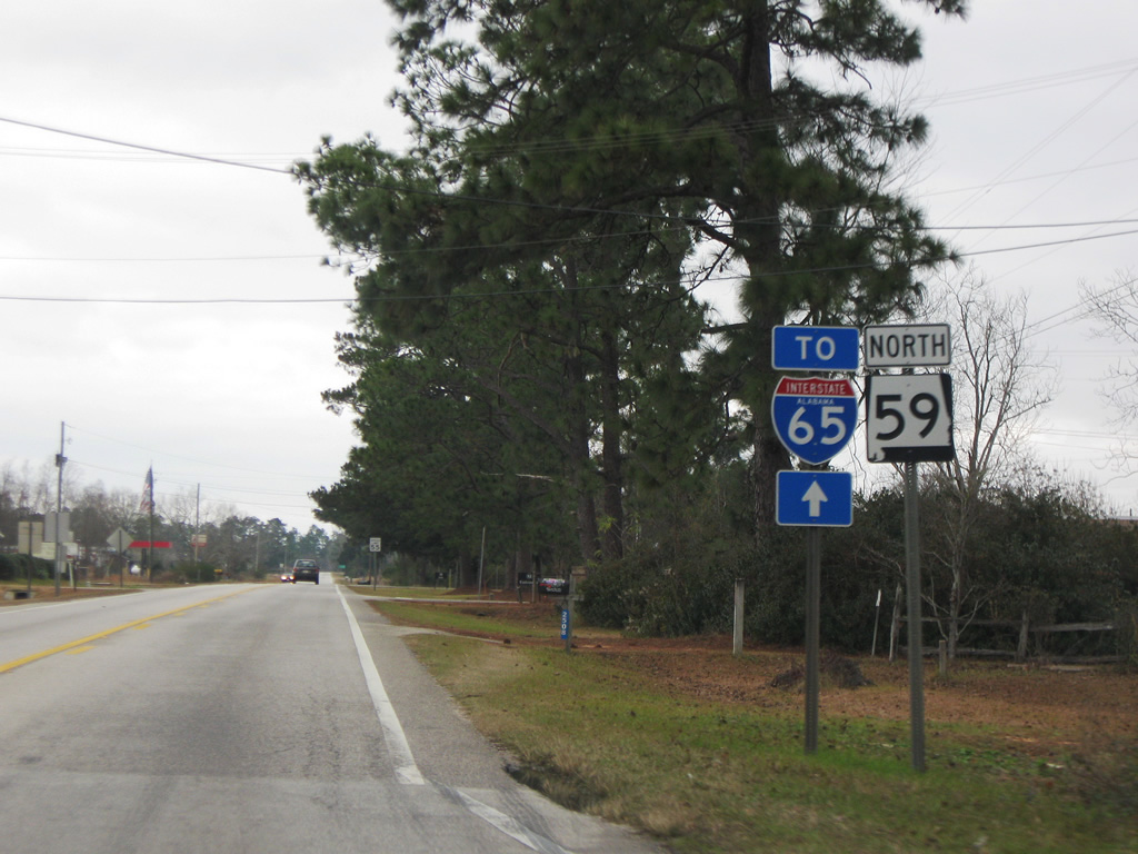
| U.S. 31 heads northeast from Bay Minette to Perdido and Atmore. SR 59 converges with SR 287 in north Bay Minette, where Gulf Shores Parkway shifts northeast to I-65. SR 59 travels northwest to I-65 and Stockton then northeast to SR 21 at Uriah. 06/06/06 |
|
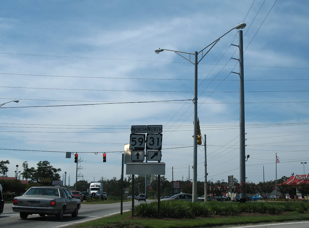
| SR 59 (McMeans Avenue) continues northward by a number of shopping centers to 9th Street in Bay Minette. 06/05/06 |
|
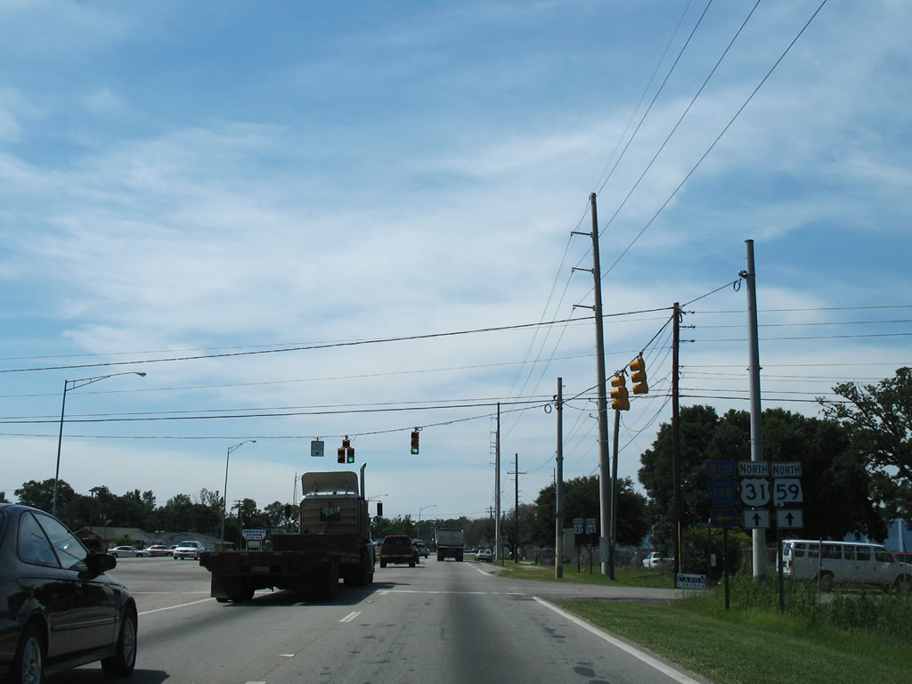
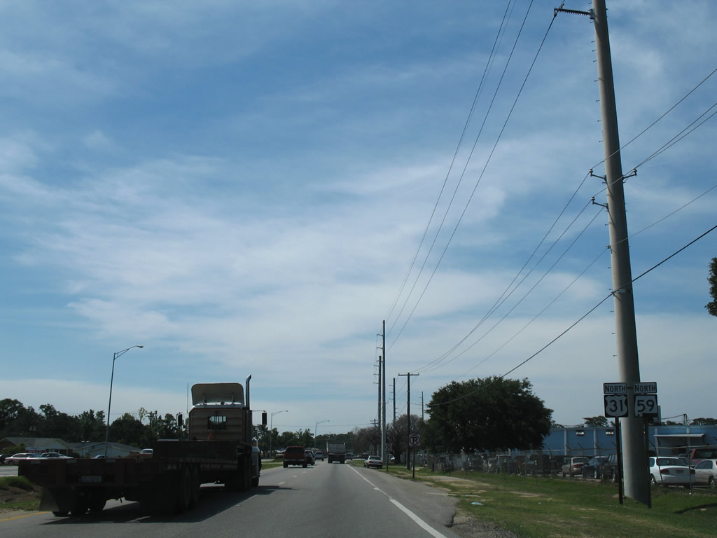
| An Interstate 65 trailblazer guides drivers northward to SR 287 on McMeans Avenue. 06/05/06 |
|
| Reassurance shield posted along SR 59 after the highway transitions from a four lane divided highway into a five lane arterial at 3rd Street in Bay Minette. 01/01/10 |
|
| Jaycee Road spurs west from Clark Avenue across SR 59 (McMeans Avenue) to Baldwin County High School and a cluster of rural neighborhoods. 06/06/06 |
|
| McMeans Avenue curves eastward to become Rabun Road at SR 287 (Hand Avenue) in north Bay Minette. Gulf Shores Parkway continues from SR 59 by way of SR 287 to end at Interstate 65 (Exit 37). 06/06/06 |
|
| Both SR 287 (Rabun Road) and SR 59 meet Interstate 65 at respective interchanges. Trailblazers directed motorists bound for the freeway via either route originally, but were changed by 2006 to only reflect Gulf Shores Parkway northbound. 04/11/02 |
|
| SR 287 travels just 6.37 miles from downtown Bay Minette (U.S. 31) to Interstate 65 (Exit 37) at County Road 47 (Rabun Road). The state route doubles as four lane Gulf Shores Parkway to the end at CR 47. 06/06/06 |
|
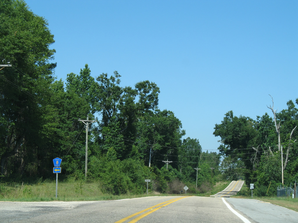
| SR 59 turns northwesterly from Bay Minette to Interstate 65 (Exit 34) and the village of Stockton. 01/01/10 |
|
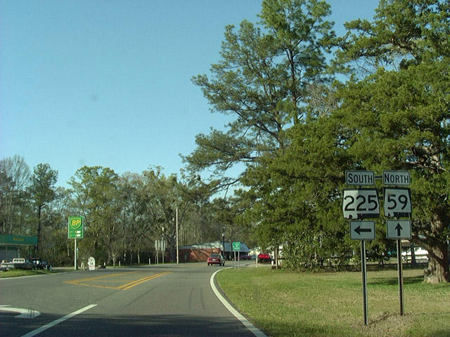
| SR 225 stretches 23.91 miles northward from Spanish Fort (U.S. 31) to conclude at SR 59 in Stockton. The state route sees an interchange with Interstate 65 (Exit 31) east of the Tensaw River. 03/23/02 |
|
| 2006-06-06 The second of three intersections between SR 59 north and CR 21 occurs at Stockton. The first intersection joined the east-west segment (Live Oak Road) with the state route near Interstate 65 (Exit 34). 06/06/06 |
|
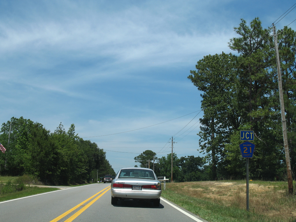
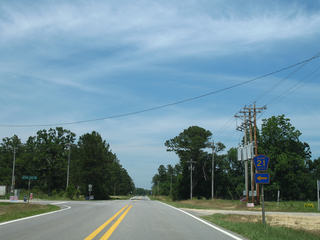
| The northern portion of CR 21 constitutes a loop west from SR 59 through the community of Vaughn. County Road 21 leaves SR 59 north near the Ellicott Stone. 06/06/06 |
|
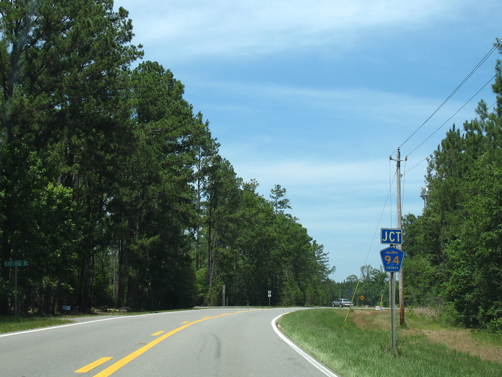
| 0.75 miles further north, SR 59 meets the west end of CR 94 (May Tower Road). 06/06/06 |
|
| May Tower Road doubles as County Road 94 east from SR 59 to Gopher Hill and the end at CR 47 (Rabun Road). 06/06/06 |
|
| The loop of CR 21 returns to SR 59 one third of a mile north of May Tower Road. 06/06/06 |
|
| County Road 21 follows Bryant Landing Road northward to Vaughn before turning back south toward Stockton. Bryant Landing Road winds westward to a fish camp along Tensaw Lake otherwise. 06/06/06 |
|
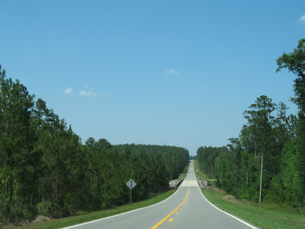
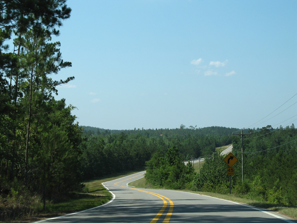
| Winding northward through hill forest on SR 59 north of Latham. Pictured here is the scene ahead of the 1989-built bridge of Majors Creek. 06/05/06 |
|
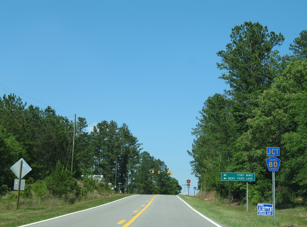
| Now in the Tensaw community, SR 59 prepares to intersect CR 80. County Road 80 spurs west along Boatyard Road to Historic Ft. Mims and Boathouse Landing on Boatyard Lake. 06/05/06 |
|
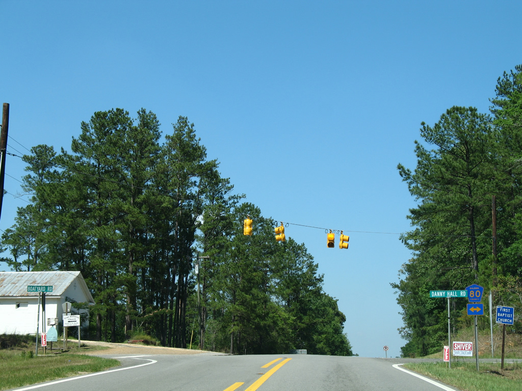
| CR 80 also constitutes a short loop along Danny Hall Road east of SR 59. 06/05/06 |
|
| Several curves await SR 59 northbound motorists after the north end of CR 80 (Danny Hall Road). 06/05/06 |
|
| SR 59 lowers to cross Holley Creek on a bridge constructed in 1988 between Danny Hall Road and Blacksher. 06/05/06 |
|
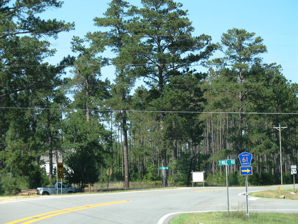
| CR 61 (7-Mile Road) ventures south from SR 59 at Blacksher. 06/05/06 |
|
| 7-Mile Road meanders southeast from Blacksher to Redtown. There County Road 61 splits into an eastern component, Redtown Road to Escambia County 47, and a southern component, Lottie Road south to Lottie and Perdido. 06/05/06 |
|
| SR 59 reassurance marker posted between County Road 61 and Turkey Creek at Blacksher. 06/05/06 |
|
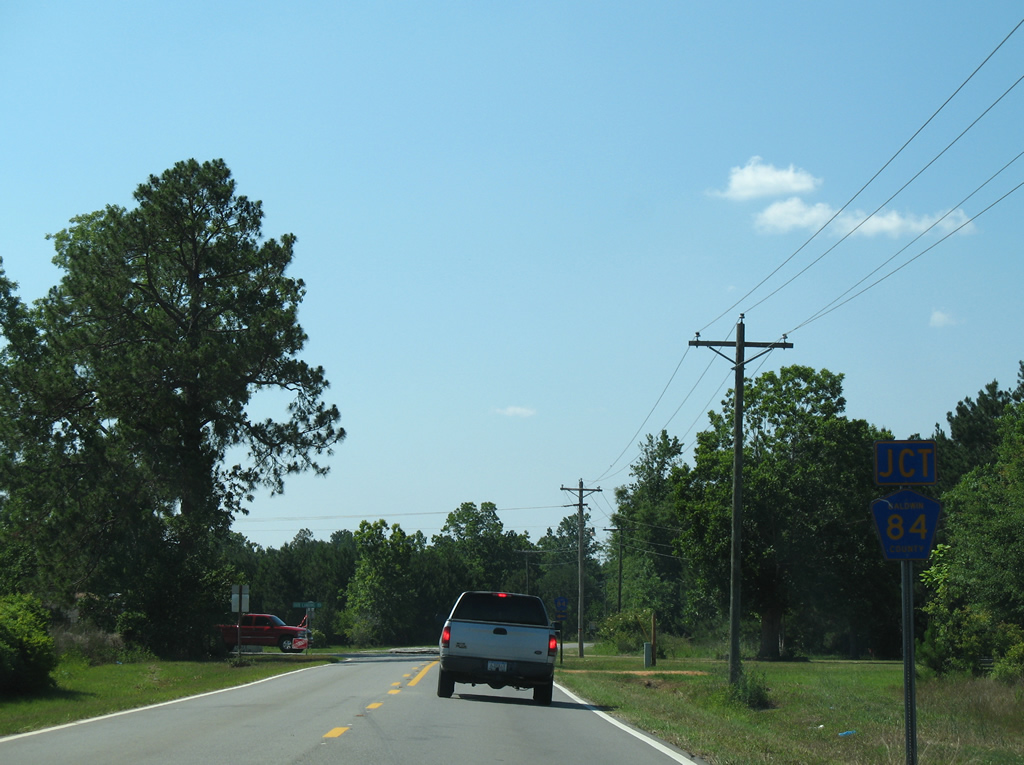
| SR 59 reaches Little River in northern Baldwin County and intersects the east end of County Road 84 (Dixie Landing Road). 06/05/06 |
|
| Dixie Landing Road (CR 84) spurs northwest from SR 59 to Dixie Landing on the Alabama River. 06/05/06 |
|
| Approaching Little River, the separation between Baldwin and Monroe Counties, on SR 59 north. A 1987-bridge crosses the waterway. 06/05/06 |
|
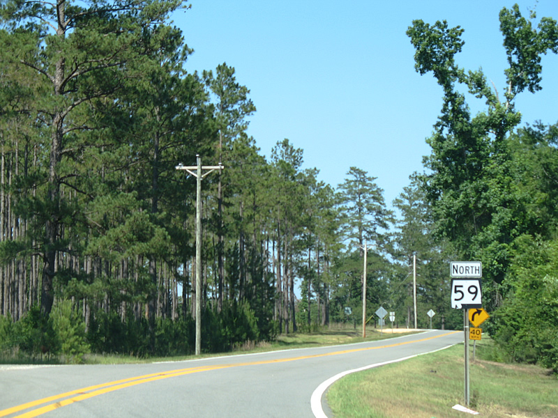
| No county signage was present at the time of this photograph as SR 59 spans the Little River. SR 59 totals 80.624 miles in Baldwin County. 06/05/06 |
|
| Monroe County 8 begins and arcs northeast from SR 59 at Chrysler to Mt. Pleasant. The county road turns eastward from Eliska to Jeddo and SR 21 outside Uriah. 06/05/06 |
|
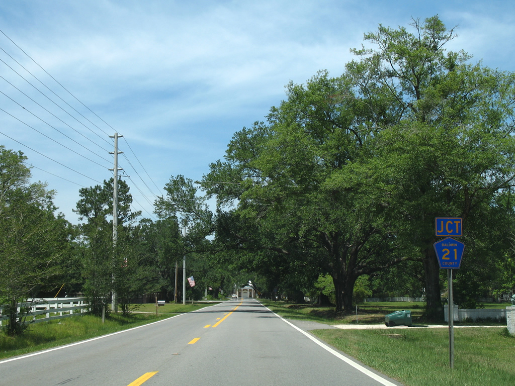
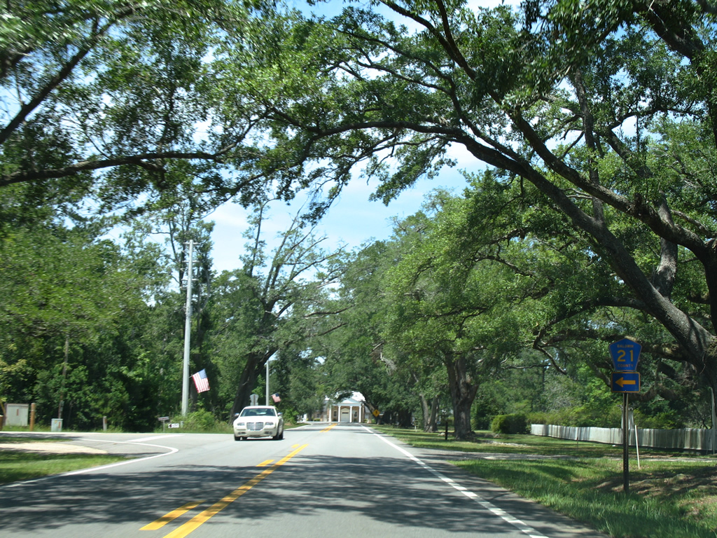
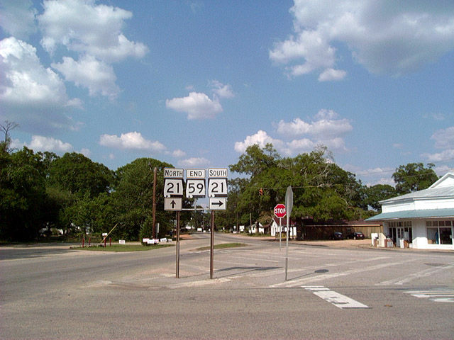
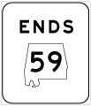
| SR 59 ends 93.67 miles north of the Gulf of Mexico at SR 21 in Uriah. SR 21, which began at the Florida state line near Atmore, continues the northward drive 20 miles to the county seat of Monroeville. 06/01/02 |
Page Updated 11-15-2011.