
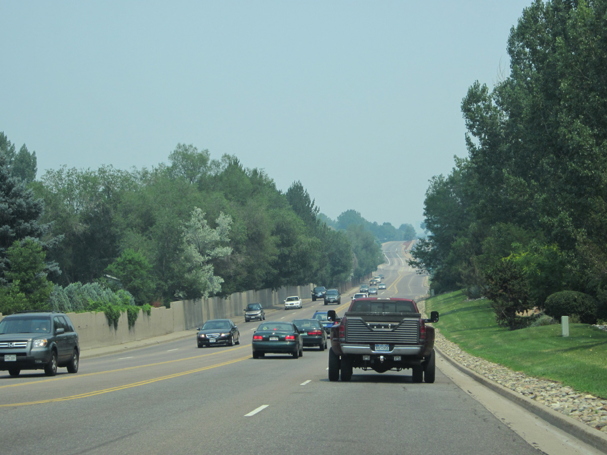
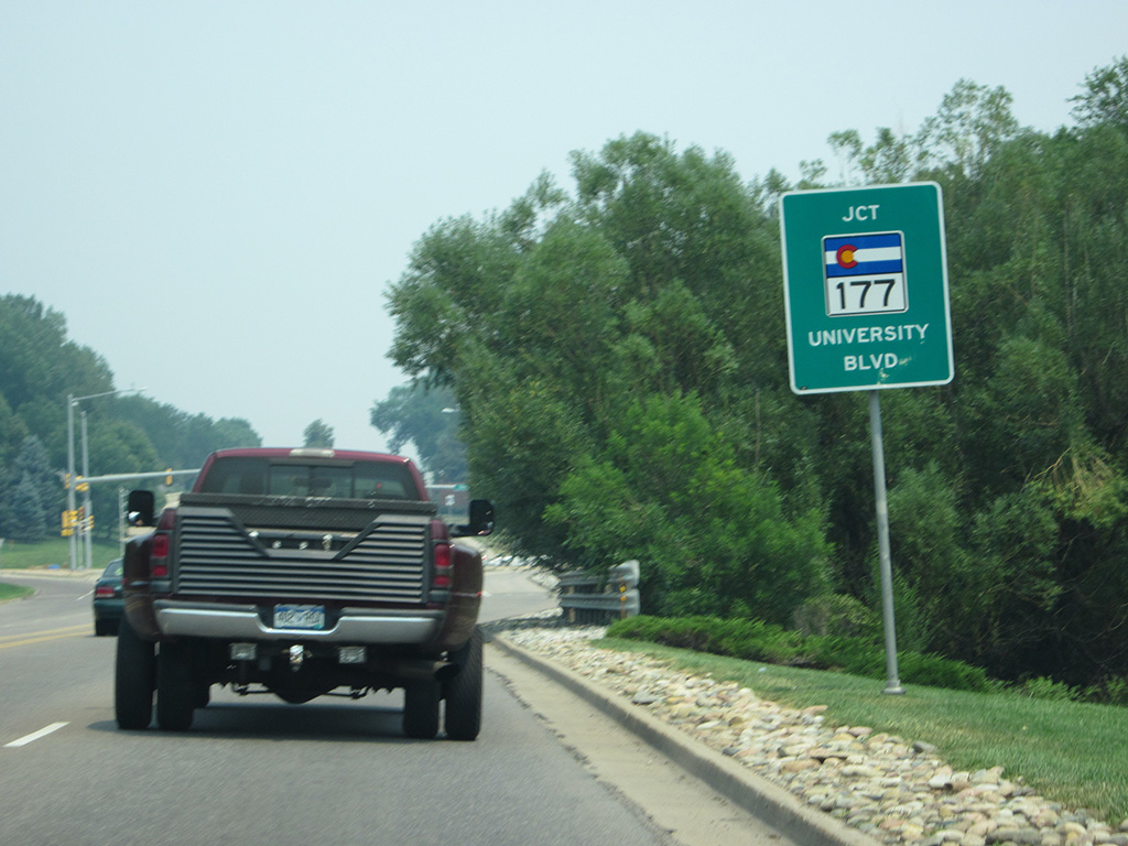
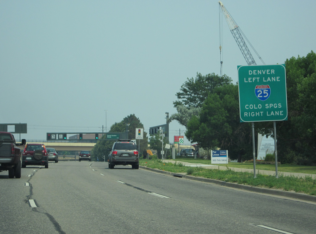
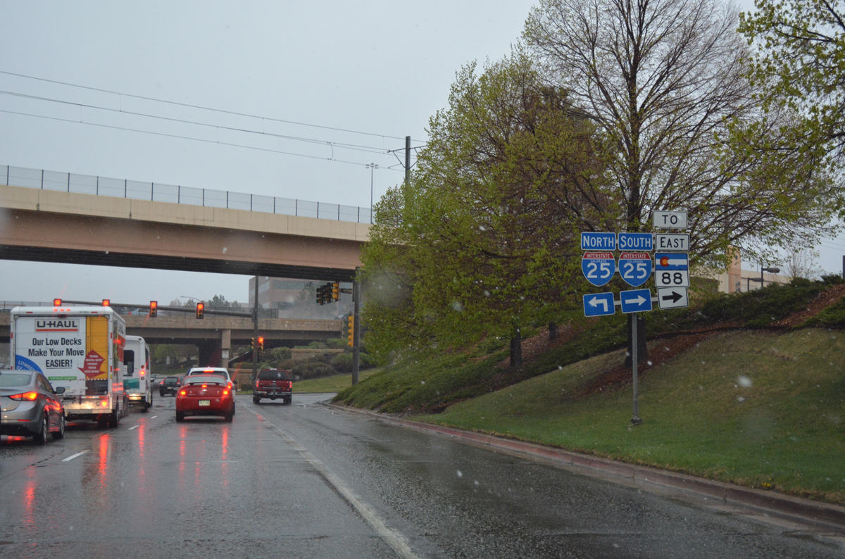
An L-shaped route measuring 21.73 miles in length, Colorado State Highway 88 travels through west Denver and Sheridan on its western leg along Federal Boulevard. The southern section of SH 83 runs along Belleview Avenue between Englewood and Cherry Hills Village to the north and Littleton and Greenwood Village to the south. A short overlap alongside I-25 takes SH 88 southeast from the Denver Tech Center to Arapahoe Road in Centennial. Arapahoe Road extends the highway east to SH 83 at Aurora and Foxfield.
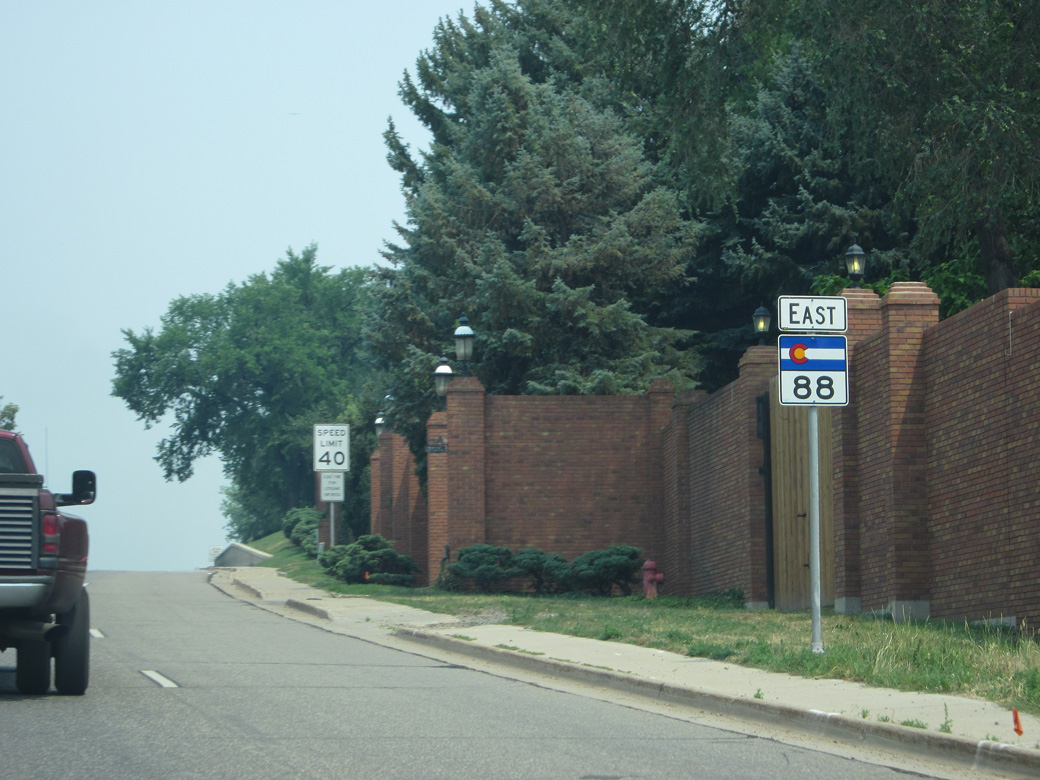
 East
East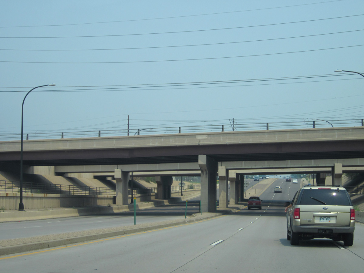
Rio Grande Street, RTD light rail and the Union Pacific Railroad span SH 88 (Belleview Avenue) east of the SPUI with U.S. 85 (Santa Fe Drive).
07/04/12
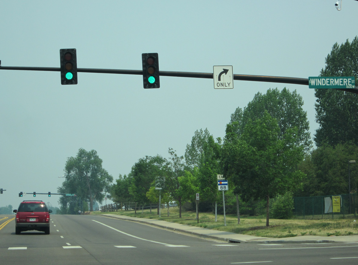
SH 88 (Belleview Avenue) intersects Windermere Street along the Edgewood and Littleton city line.
07/04/12
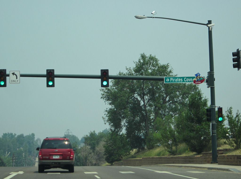
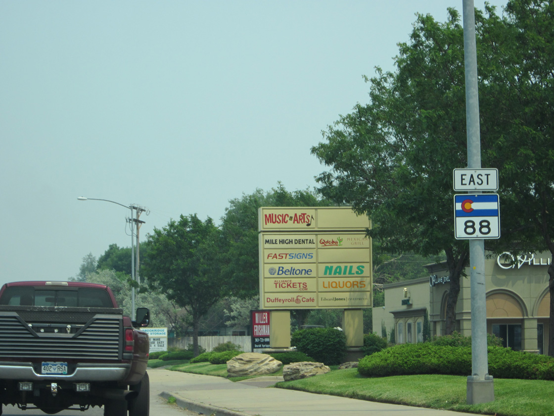
SH 88 proceeds east into Englewood to Cornerstone Park and Pirates Cove Water Park.
07/04/12
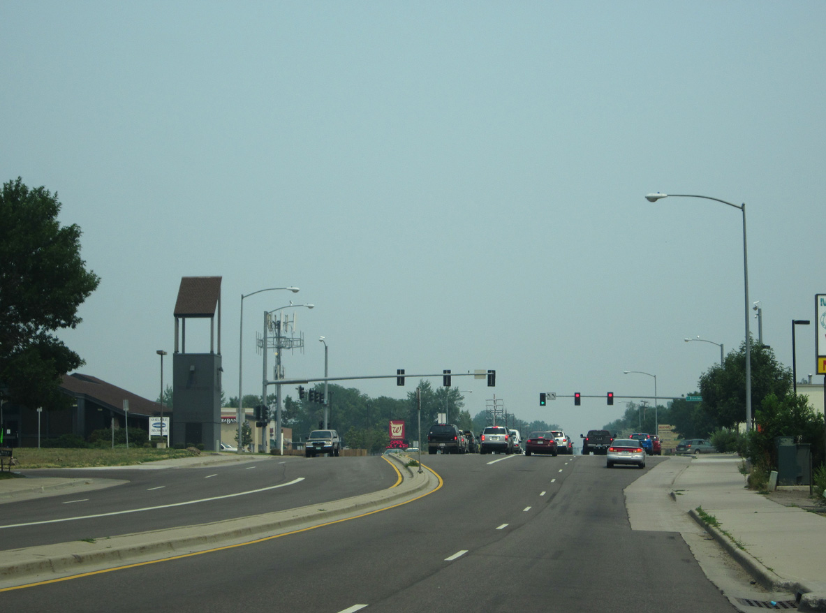
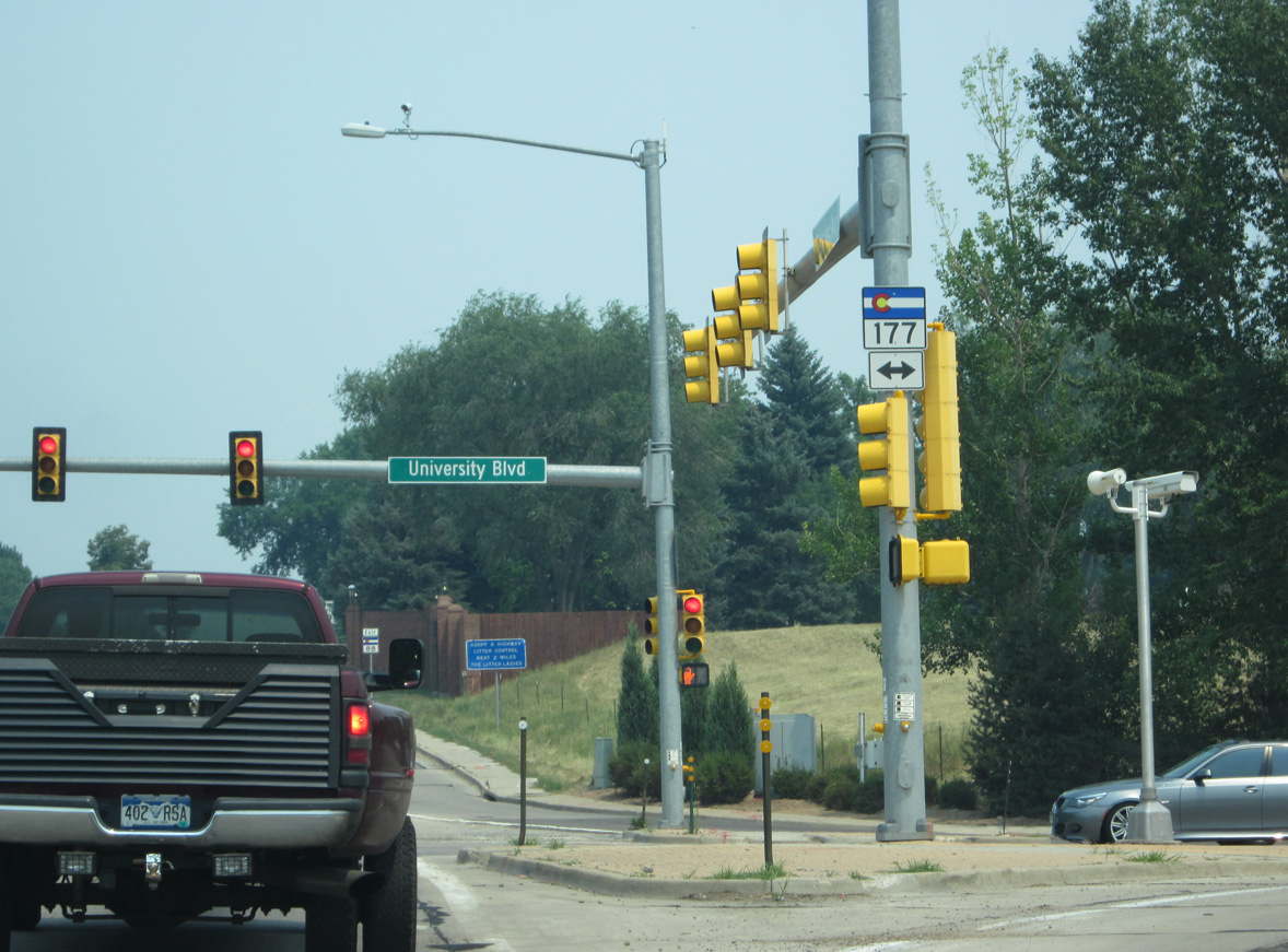
SH 88 meets Broadway (former SH 87) at a commercialized intersection.
07/04/12
SH 88 reassurance marker posted east of Broadway.
07/04/12

07/04/12
07/04/12
07/04/12
07/04/12
07/04/12
07/04/12
07/04/12
07/04/12
07/04/12
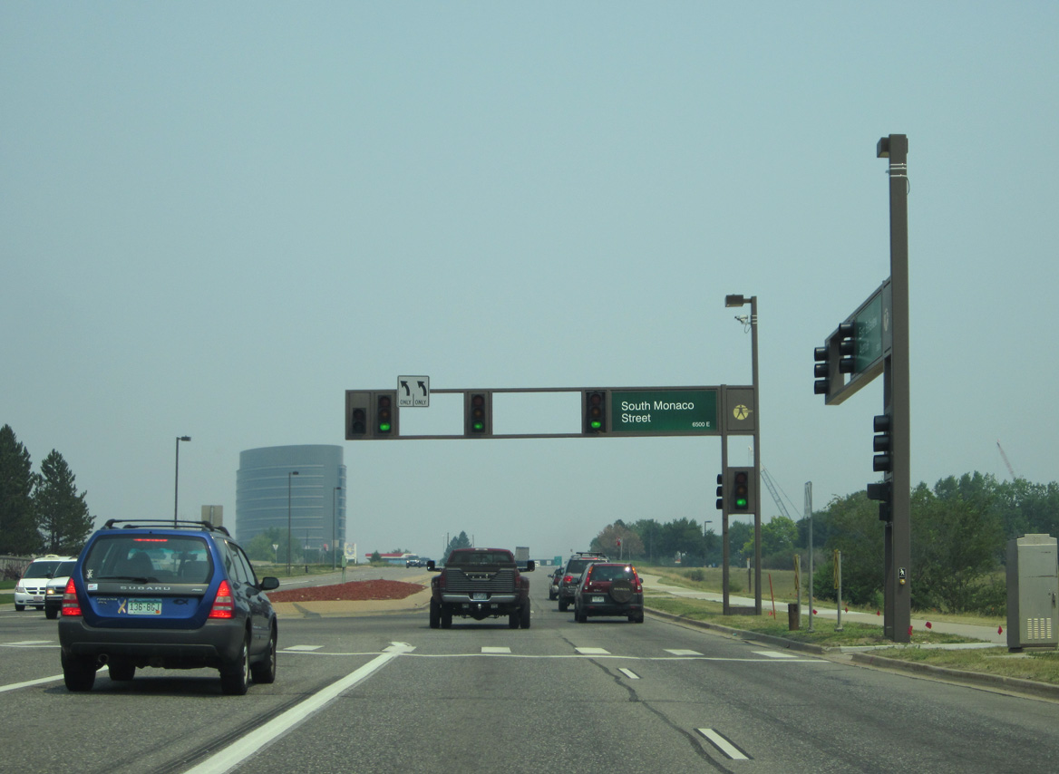
The Belleview Avenue section of SH 88 (Segment A) concludes where SH 88 joins Interstate 25 south at Greenwood Village. The state highway resumes east 2.06 miles to the south at Exit 197 with Arapahoe Road.
04/28/17

SH 88 (Belleview Avenue) east at Interstate 25 prior to the T-Rex reconstruction of the freeway through south Denver and Greenwood Village.
02/02/02
scenes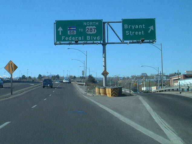
Prior to reconstruction of the Sixth Avenue freeway between I-25 and SH 88 (Federal Boulvard), separate ramps connected U.S. 6 west with both Bryant Street and Federal Boulevard. Now traffic continues soley to SH 88.
02/02/02
Photo Credits:
02/02/02, 07/04/12, 04/28/17 by AARoads
Connect with:
Interstate 25
U.S. 285
State Highway 83
Page Updated 01-26-2022.