Wis 96 joins Appleton and the Fox Cities with Fremont to the west and Denmark to the east as part of a nearly 56 mile route. The state trunk highway replaced U.S. 10 west from Badger Avenue in Appleton when the US highway was relocated southward onto a freeway through Winnebago County starting in 1998. U.S. 10 traveled north with U.S. 45 to its old alignment until 2003, when the freeway west to Fremont was completed. This led to further extension of Wis 96 west.
The east end of Wis 96 is located at Interstate 43 and County KB in the village of Denmark. Historically the route continued another nine miles east to Wis 164, which was also decommissioned.
|
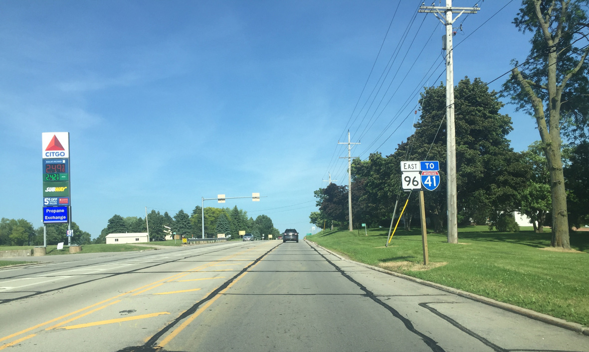
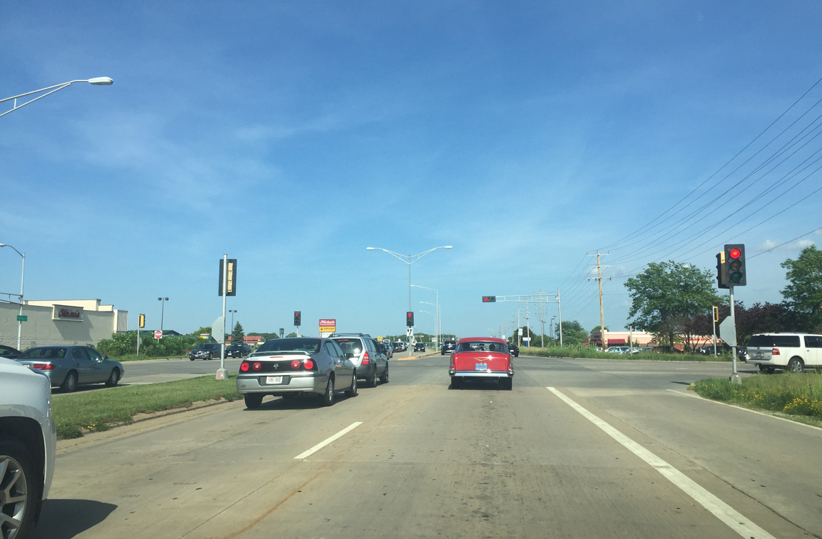
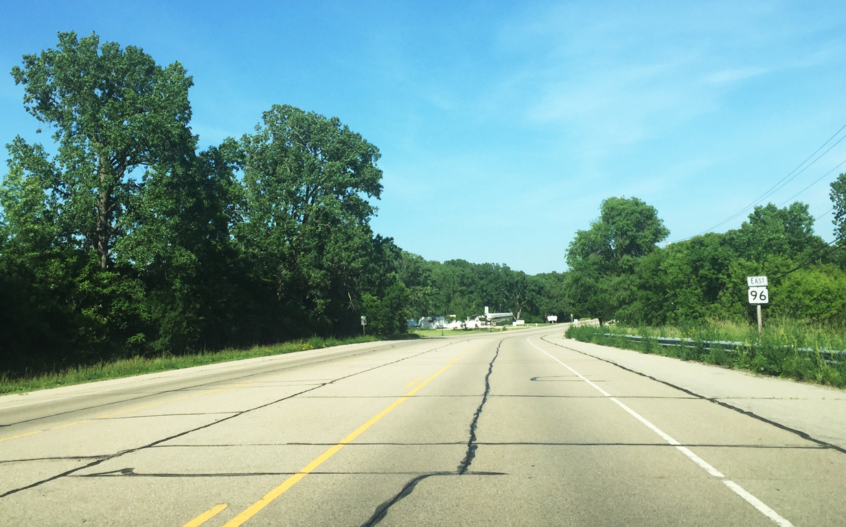
| An Interstate 41 trailblazer accompanies this Wis 96 confirming marker as the trunk highway proceeds east from the intersection with Wis 76 along Chaska Golf Course. Since there is no direct ramp from U.S. 10 east to I-41 north, several of these trailblazers are in place along both Wis 76 north & 96 east. 06/11/16 |
|
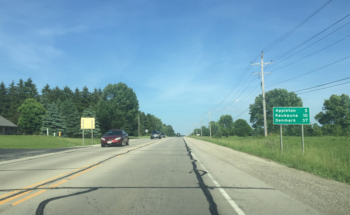
| Wis 96 advances east five miles into the city of Appleton. The city of Kaukauna lies east of Appleton directly along Wis 96, though a faster route would be to take Interstate 41 across the north Fox Cities. 06/11/16 |
|
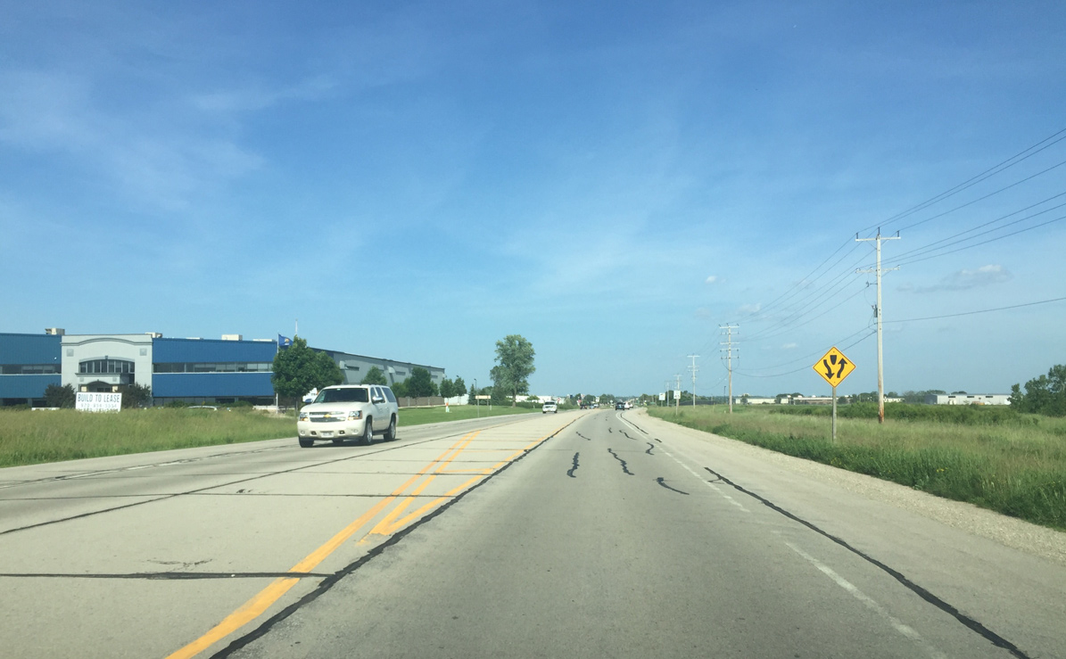
| STH-96 east expands to a divided highway east of Craftsmen Drive, the west entrance to Greensville Business Park. 06/11/16 |
|
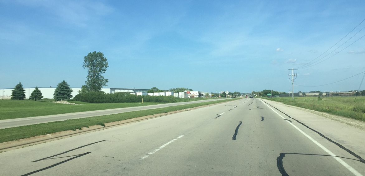
| The northern runway approach of Appleton International Airport (ATW) appears along the south side of Wis 96 as it expands to four lanes. 06/11/16 |
|
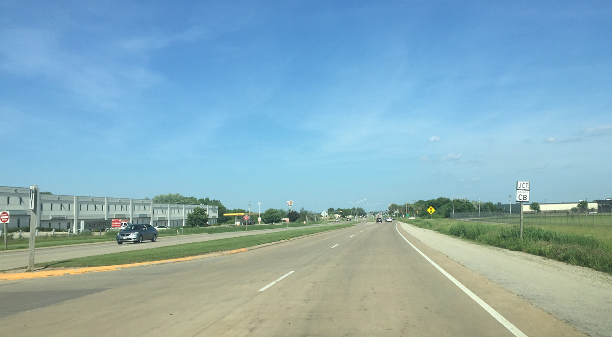
| County CB runs along the east side of ATW Airport from Wis 96 south toward the Winnebago County line. 06/11/16 |
|
| Traveling 8.6 miles overall, CTH-CB winds through a mixture of business parks, subdivisions and the airport vicinity from CTH-JJ at Neenah to Moon Shadow Drive north of STH-15 toward Greenville. 06/11/16 |
|
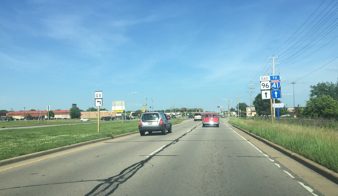
| Eastbound reassurance marker for Wis 96 and trailblazer for I-41 posted as Wisconsin Avenue leaves County CB. 06/11/16 |
|
| McCarthy Road heads south from Wis 96 to College Avenue (County CA). North from the signal with Wis 96, the road continues beyond adjacent apartment complexes to Greenville Drive (old Wis 76), the Wis 15 expressway and a rural end at Broadway Drive. 06/11/16 |
|
| Casaloma Drive intersects Wis 96 east at the subsequent traffic light. Southward the drive forms a commercial arterial along the west side of Fox River Mall. Taking the road north leads motorists to Fox Cities Stadium. 06/11/16 |
|
| Greenville Drive (County GV) angles southeast to end at Wis 96 (Wisconsin Avenue) at the ensuing intersection. 06/11/16 |
|
| County GV, named for Greenville Drive, is the former alignment of Wis 76 leading northwest to Greenville. The route was displaced by an expressway taking Wis 15 north of the Fox River Mall area. When Wis 15 was designated, Wis 76 was relocated to overtake former U.S. 45 south from Greenville to Oshkosh. 06/11/16 |
|
| The Wis 96 (Wisconsin Avenue) intersection with Greenville Drive ties into the north entrance of Fox River Mall. The enclosed mall opened for business in 1984. 06/11/16 |
|
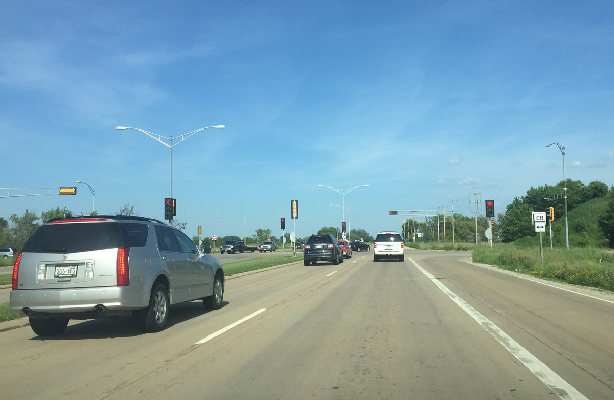
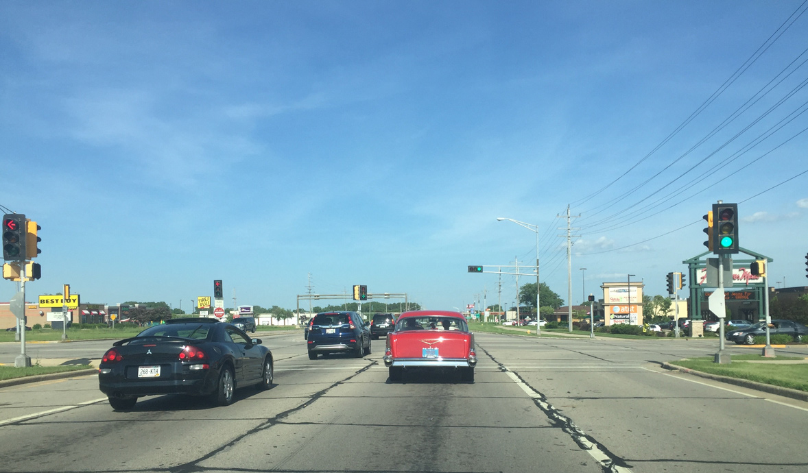
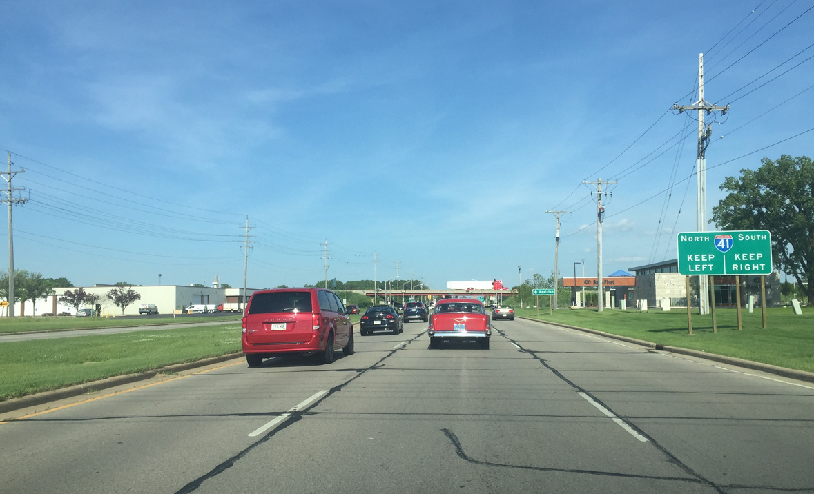
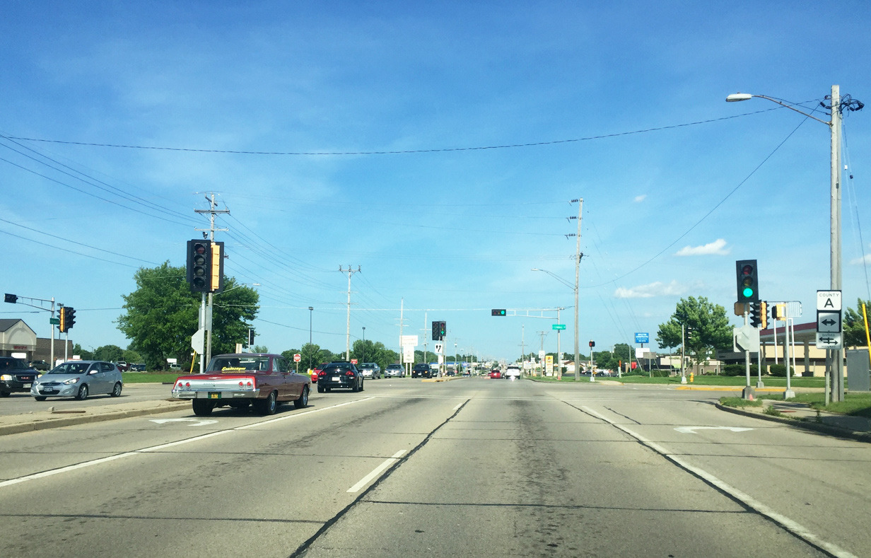
| Wis 96 approaches the diamond interchange with Interstate 41 to the immediate east of Fox River Mall. 06/11/16 |
|
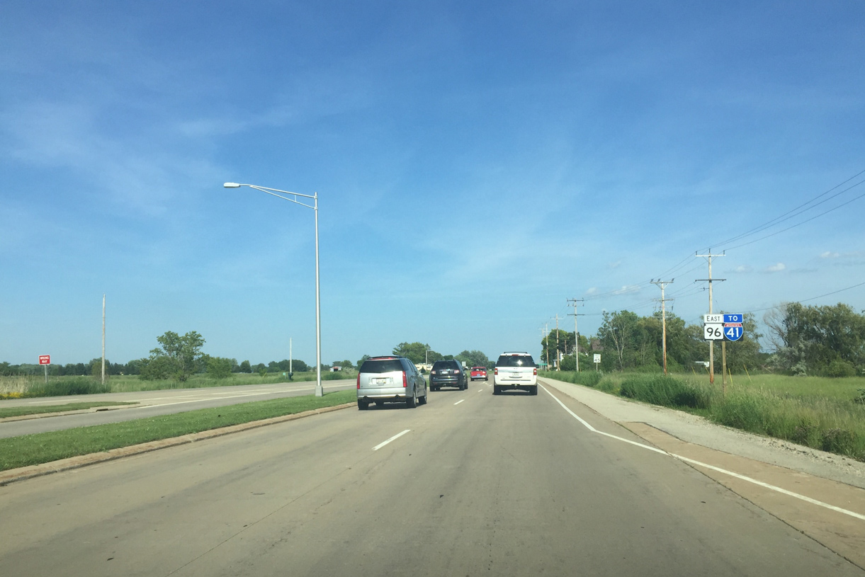
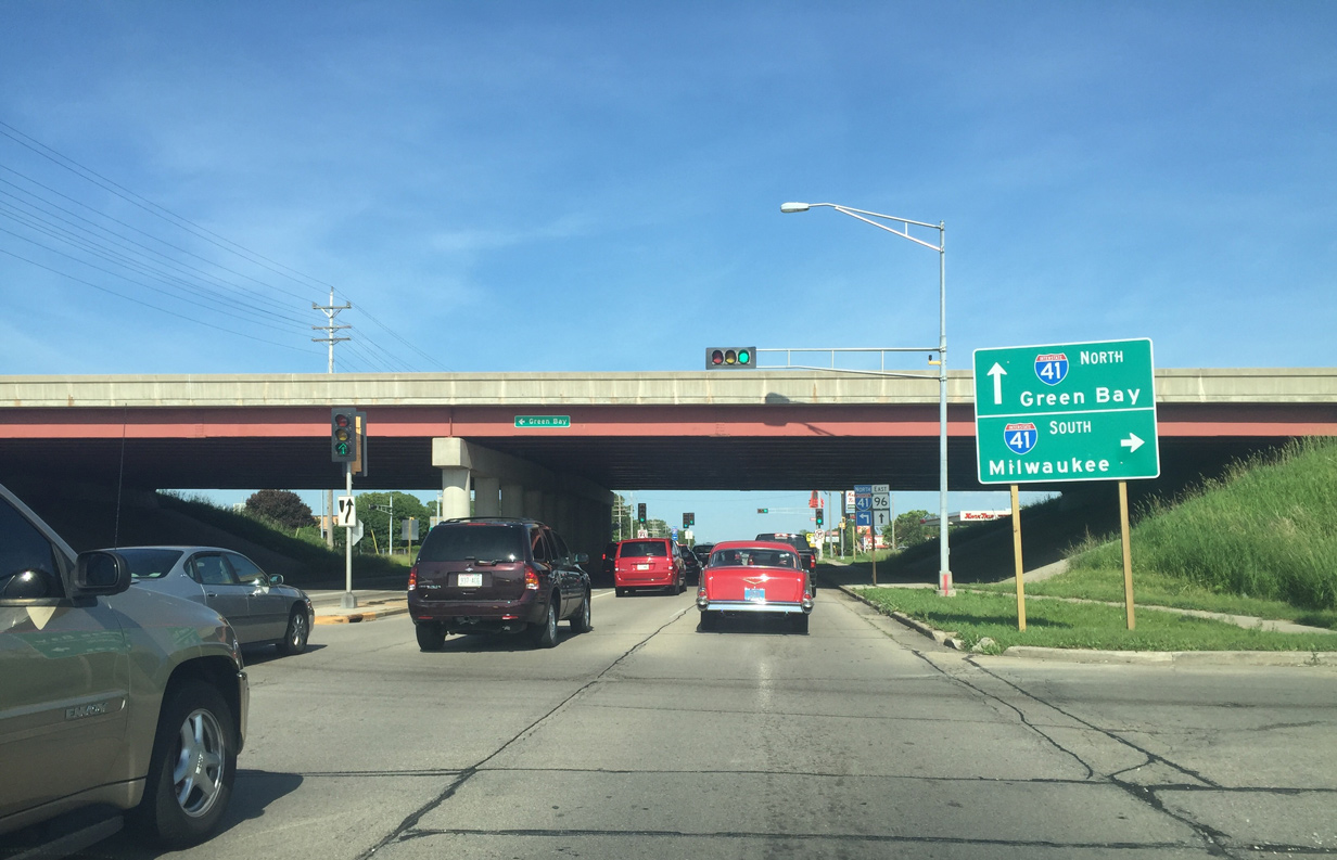
| Interstate 41 replaced U.S. 41 in 2015 between Milwaukee and Green Bay. The freeway south connects the Fox Cities with Oshkosh and Fond du Lac along the west side of Lake Winnebago. 06/11/16 |
|
| A left turn takes motorists onto Interstate 41 as it curves east across the north side of the Fox Cities en route to Ashwaubenon and Green Bay. 06/11/16 |
|
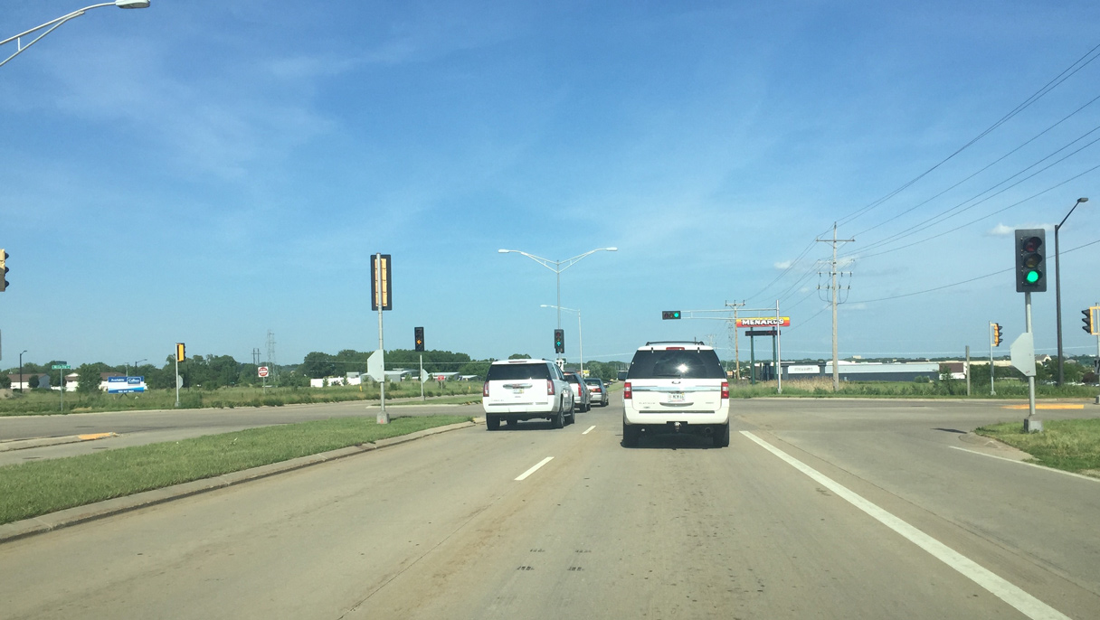
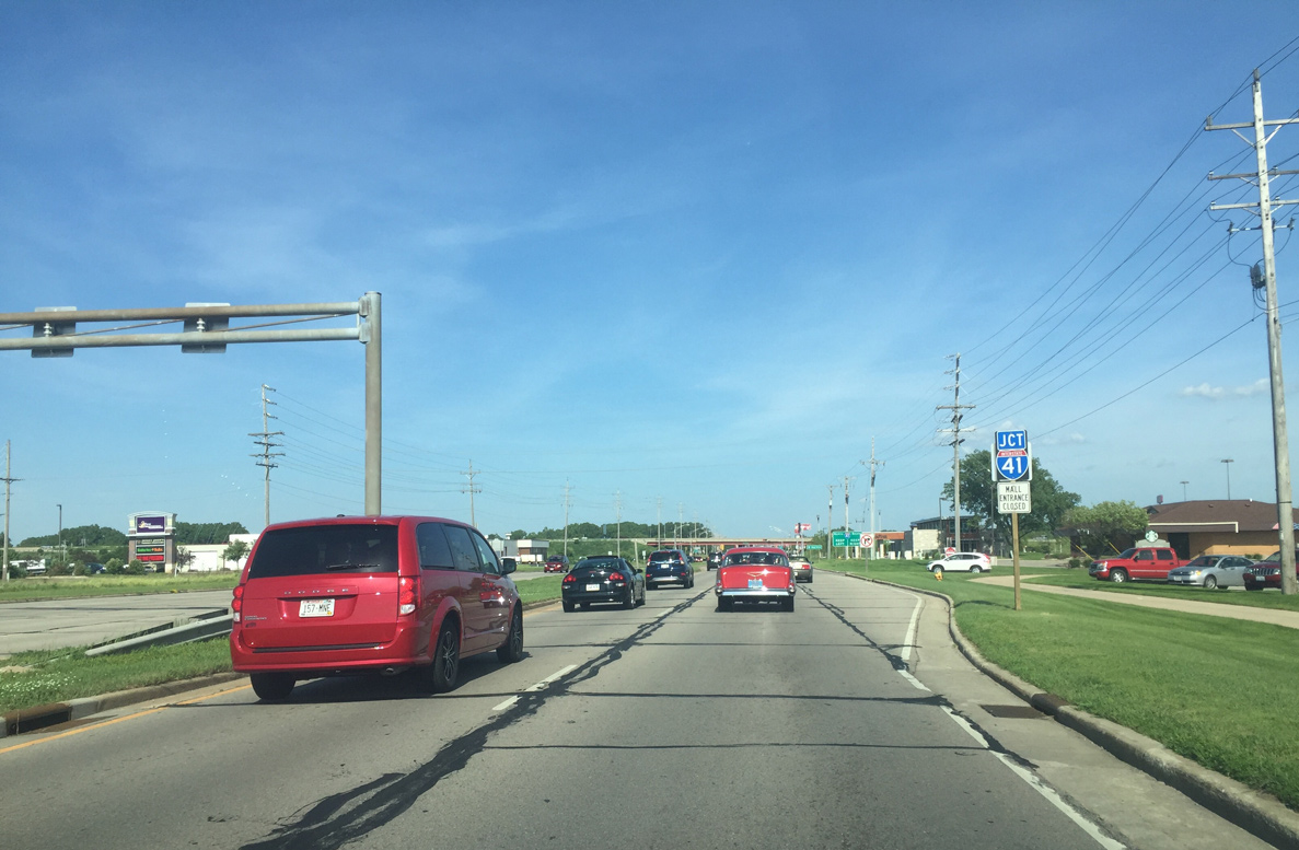
| Motorists pass by this reassurance marker for Wis 96 beyond the I-41 interchange. 06/11/16 |
|
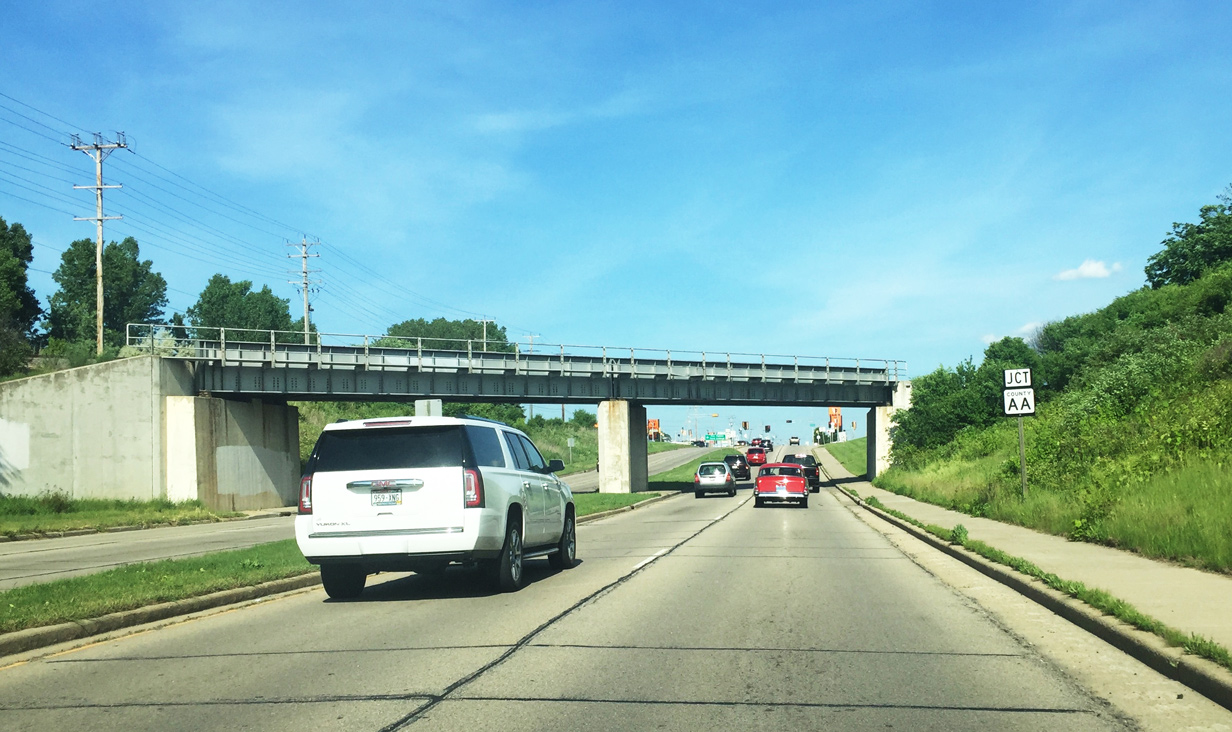
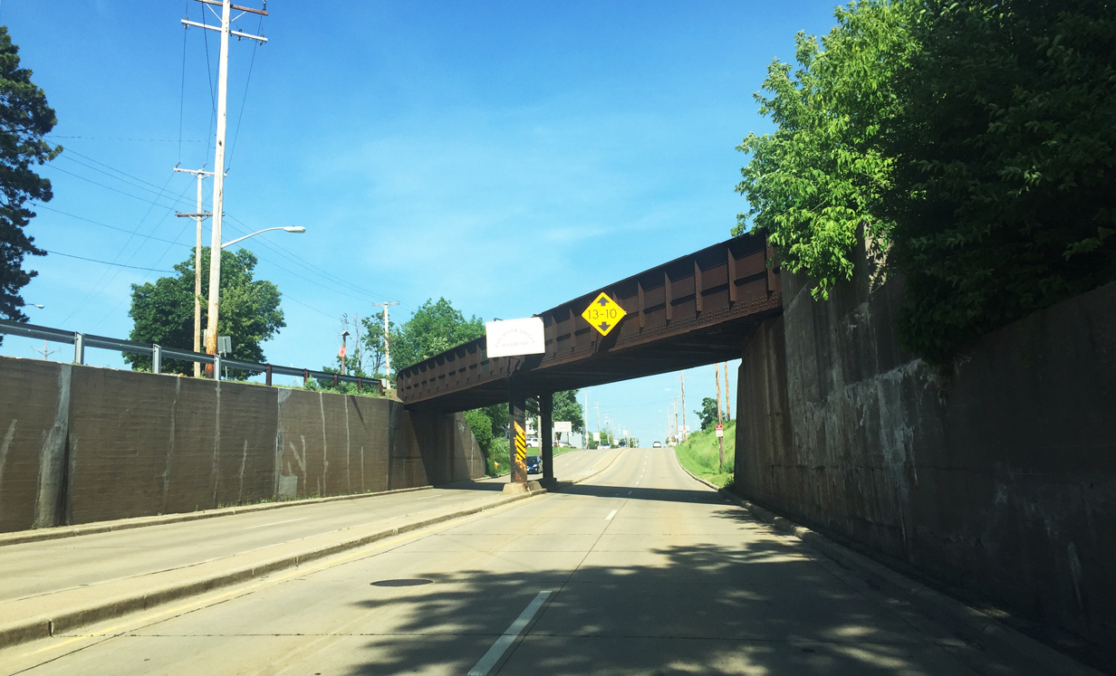
| Wis 96 (Wisconsin Avenue) east travels below a CN railroad overpass on the approach to CTH-AA (Bluemound Drive). The rail line connects Appleton with Hortonville, New London and Manawa to the northwest. 06/11/16 |
|
| CTH-AA stems north from Wisconsin Avenue along Bluemound Drive to reach Outagamie County offices and the Fox Valley Technical College campus. Otherwise, Bluemound Drive continues south from Wis 96 to Wis 125 (College Avenue) and CTH-BB (Prospect Avenue). 06/11/16 |
|
| Wisconsin Avenue and STH-96 meet Outagamie County A at the next signalized intersection. CTH-A follows Lynndale Drive north away from Appleton passing by Gordon Bubolz Nature Preserve en route to Wis 47 in rural Outagamie County. To the south, Lynndale Drive carries CTH-A a short distance further to STH-125. 06/11/16 |
|
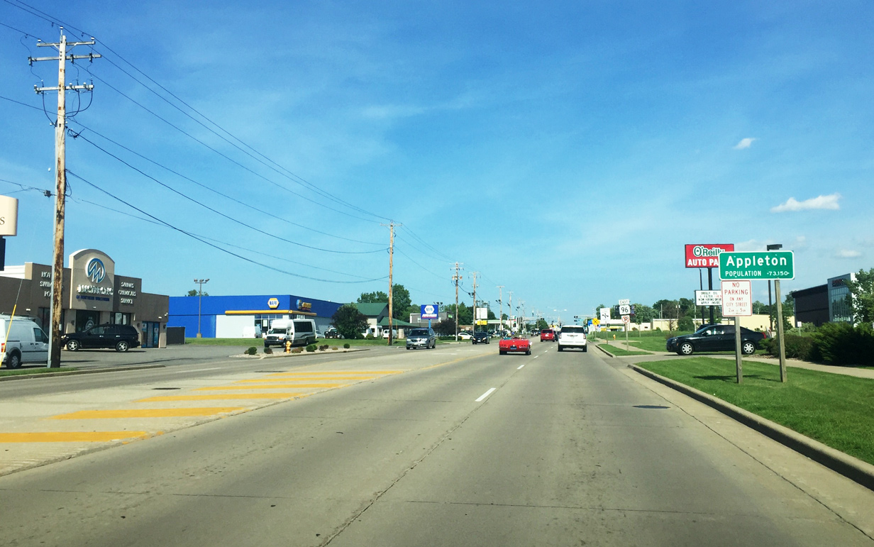
| Beyond the Perkins Street intersection, Wis 96 (Wisconsin Avenue) formally enters Appleton proper. The city was incorporated by March 1857 and currently sees a modest population base. 06/11/16 |
|
| Badger Avenue spokes southeast from Wisconsin Avenue at this CN railroad crossing to Downtown. Badger Avenue represents a former U.S. 10 alignment prior to being rerouted onto its freeway sections. This intersection also marks a former terminus point for Wis 96 prior to its extension in 1997. 06/11/16 |
|
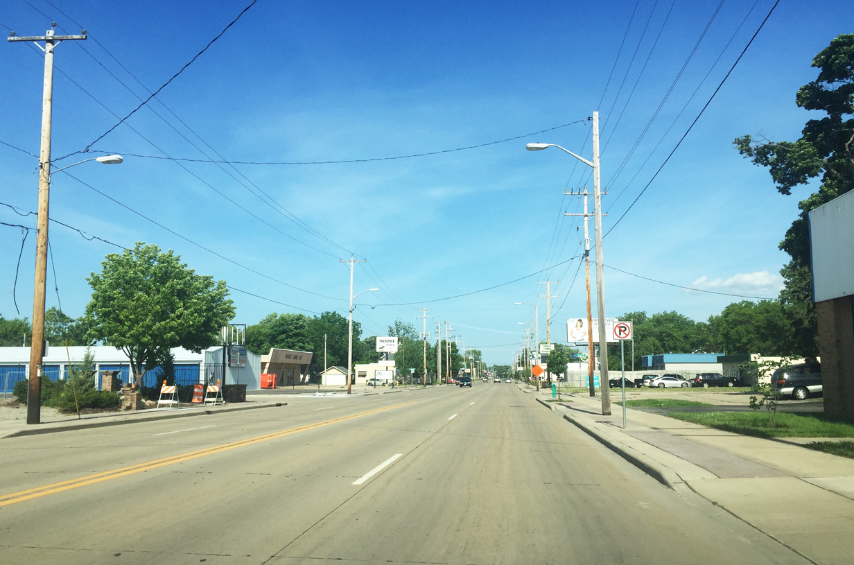
| Within Appleton city limits Wisconsin Avenue and STH-96 transition into a five lane urban arterial. 06/11/16 |
|
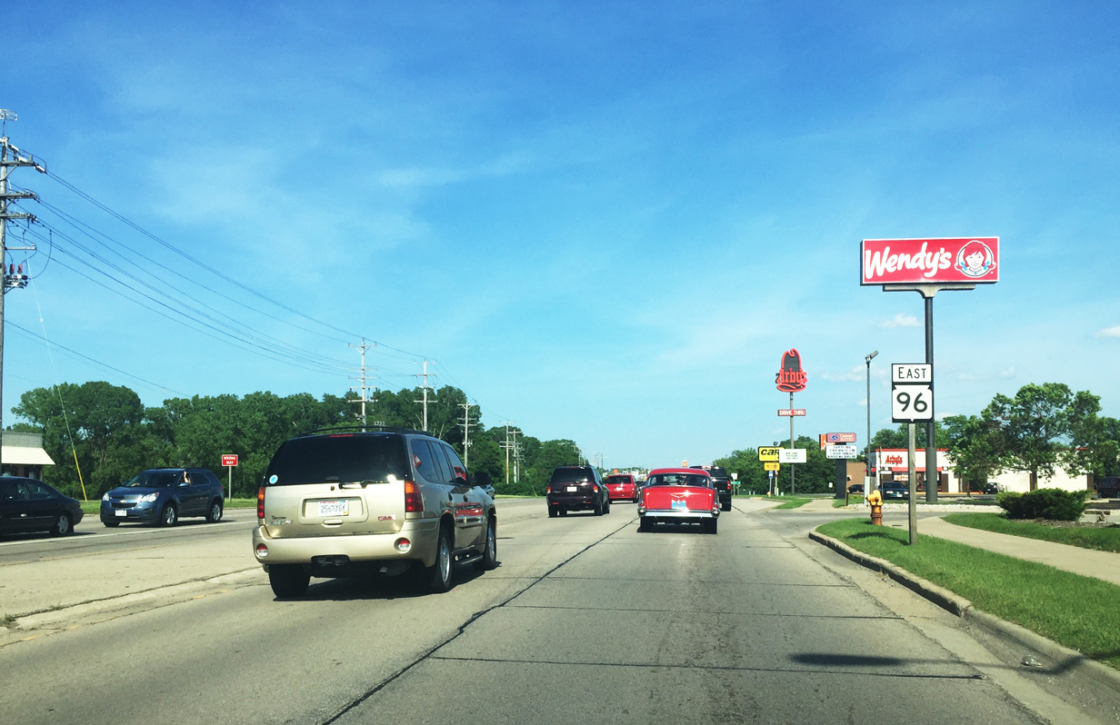
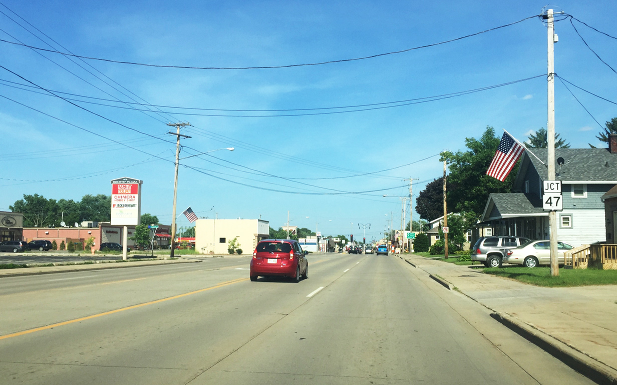
| In this scene motorists begin their approach to Wis 47 along Wis 96 east. Mostly rural, STH-47 travels 188 miles connecting Appleton with Menasha to the south and Black Creek and Bonduel to the north. 06/11/16 |
|
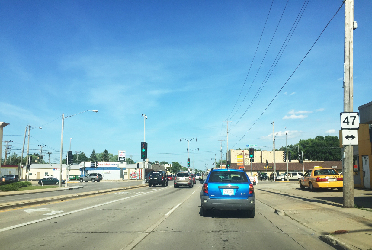
| Wisconsin Avenue reaches the intersection with Wis 47 north of the central business district. The state trunk highway continues south through Downtown then kinks southwest to its end at Wis 114 in Menasha. Within Appleton, the state trunk highway generally runs along Richmond Street. 06/11/16 |
|
| Wis 96 passes through the heart of the Wisconsin Avenue Business District beyond Wis 47 (Richmond Street). Until its decommissioning in 2004, U.S. 41 Business also traveled this stretch of Wisconsin Avenue between Richmond Street and Ballard Road. 06/11/16 |
|
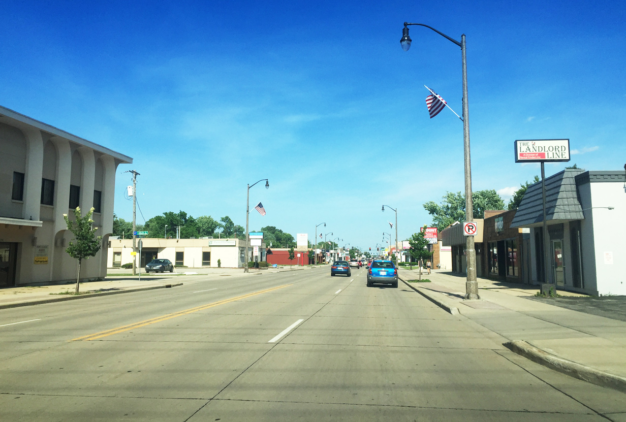
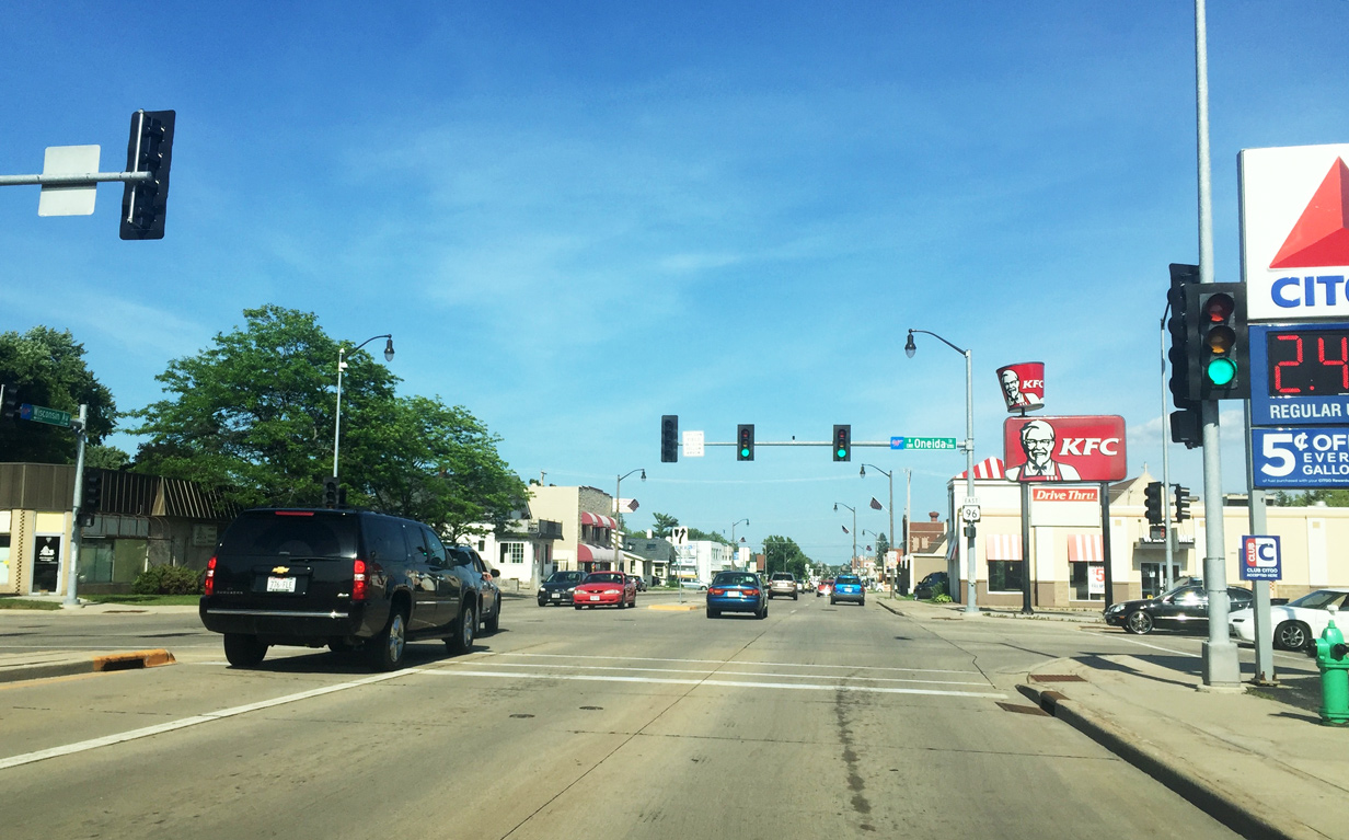
| Decorative lighting was placed as part of a 2011 reconstruction project along a two mile section of Wisconsin Avenue in east Appleton. In this scene American flags adorn the light poles in honor of Flag Day, and were erected as part of the annual parade held each June. Held since 1950, the parade route typically closes a portion of STH-96 between State and Oneida Streets. 06/11/16 |
|
| Oneida Street is the dividing line for east and west streets running through Appleton. The local road travels primarily through residential neighborhoods to the north and south of STH-96. 06/11/16 |
|
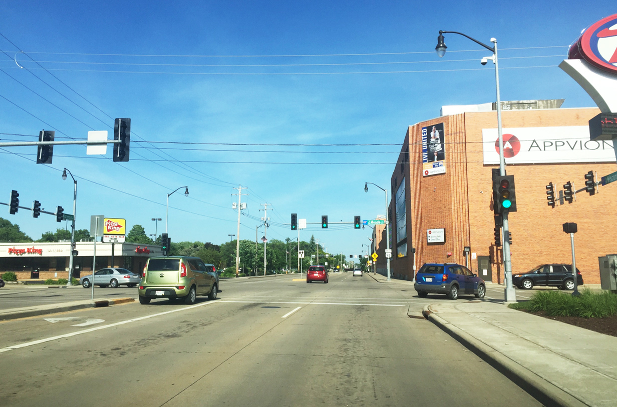
| Wis 96 (Wisconsin Avenue) continues east through Appleton, reaching Meade Street at the next traffic signal. 06/11/16 |
|
| Meade Street consists of a four lane undivided arterial between Wisconsin Avenue and Edgewood Drive to the north of Appleton. Nearby Appleton Medical Center is reached via Meade Street north. To the south, Meade Street continues east of Summer and Lawe Streets entering into Lawrence University near the Fox River. 06/11/16 |
|
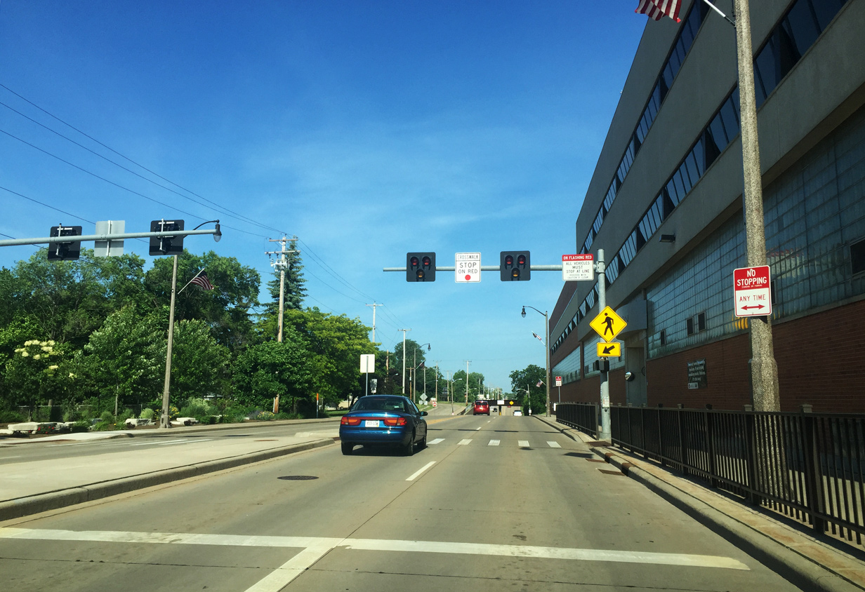
| A pedestrian hawk signal was placed along STH-96 between a local paper mill and its parking garage after repeated pedestrian accidents at the location. 06/11/16 |
|
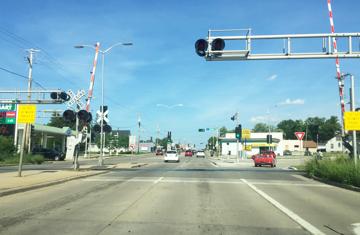
| Wis 96 (Wisconsin Avenue) dips below a CN (former Fox River Valley) railroad line between Viola and Rankin Streets. 06/11/16 |
|
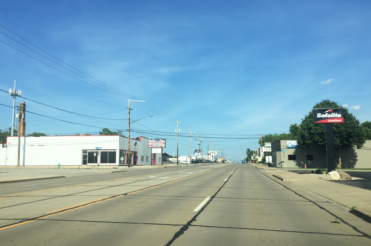
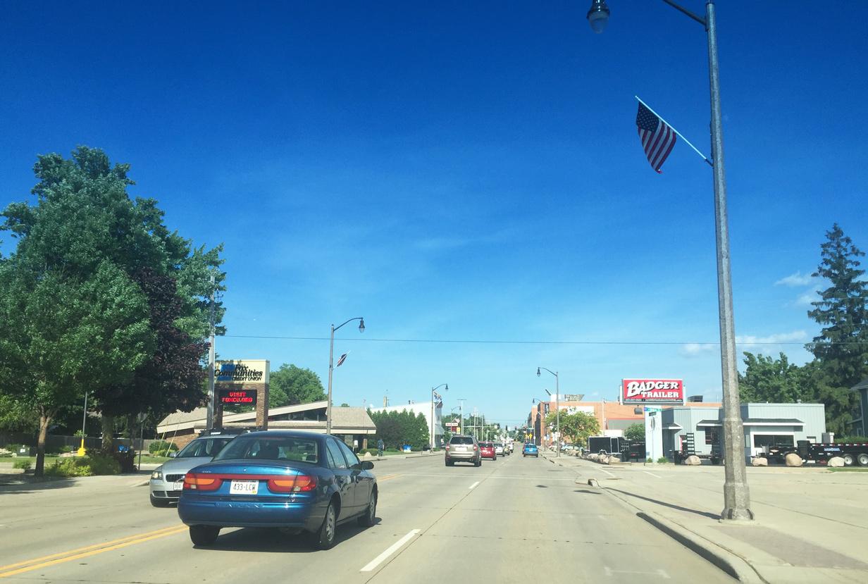
| Wisconsin Avenue remains undivided through the eastern reaches of Appleton. 06/11/16 |
|
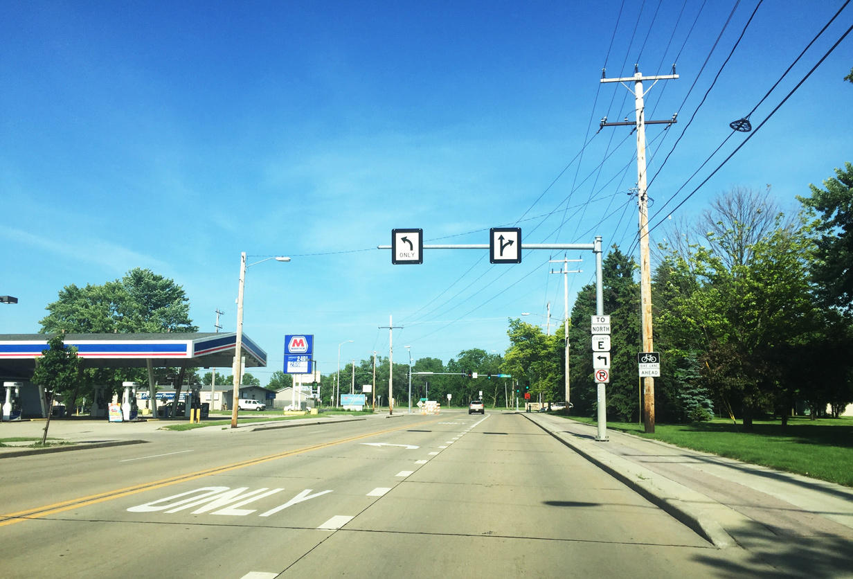
| A trailblazer directs motorists toward Outagamie County E on the approach to Ballard Road. CTH-E once emanated from STH-96 (Wisconsin Avenue) but now ends at CTH-OO (Northland Avenue) in the northeast corner of Appleton. Ballard Road also represented U.S. 41 Business until 2004. 06/11/16 |
|
| A through lane along Wis 96 east defaults to a turn lane as the state trunk highway reaches Ballard Road. Ballard Road stems north to meet Interstate 41 at a diamond interchange before departing Appleton for parts north. 06/11/16 |
|
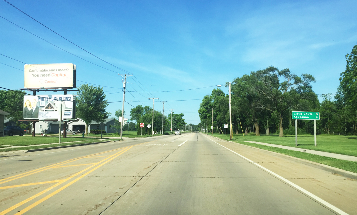
| Wis 96 curves northeast from Ballard Road leaving Appleton towards Little Chute (three miles) and Kaukauna (six miles). 06/11/16 |
|
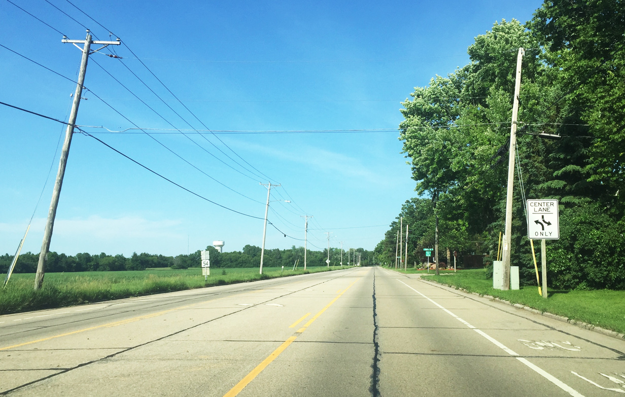
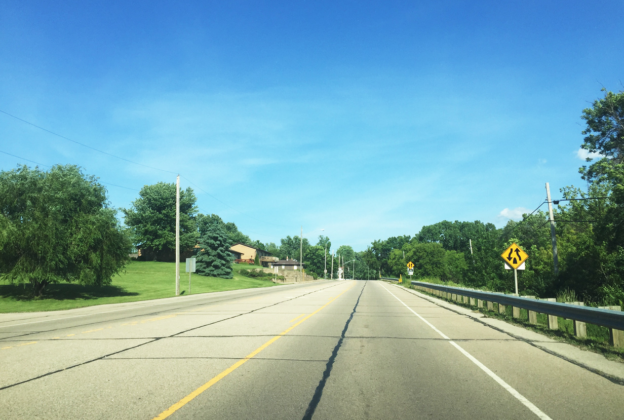
| Due to light traffic, this portion of STH-96 was redesigned from a four lane undivided highway to a three lane road with a continuous center lane. A bike lane was also added in each direction as part of the reconfiguration. STH-96 and the Fox River begin to converge along parallel lines as the state trunk highway follows close to a wooded ravine. 06/11/16 |
|
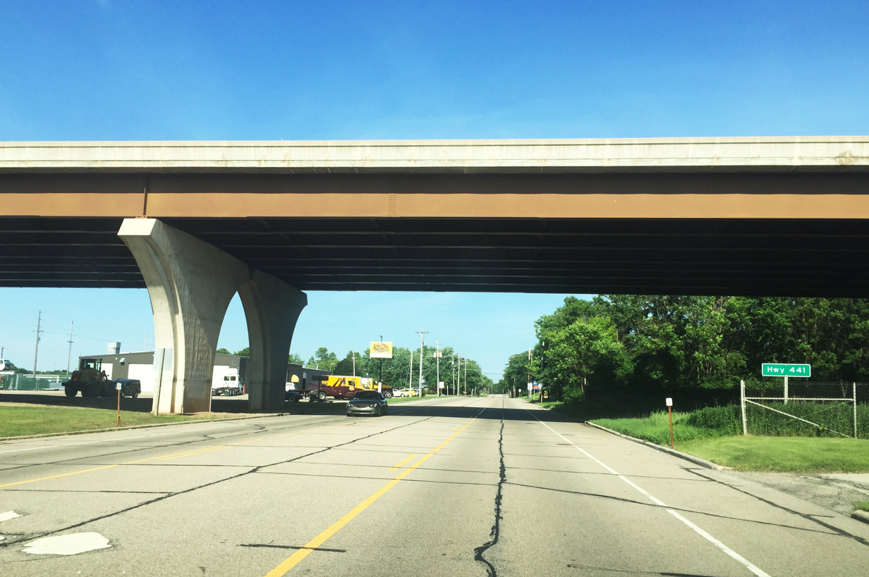
| Wis 96 east passes beneath Wis 441 on the final approach to Little Chute. There is no direct access between the two as the Fox River lies directly south of Wis 96 while a CN railroad line parallels to the north, allowing no right-of-way room for an interchange. 06/11/16 |
|
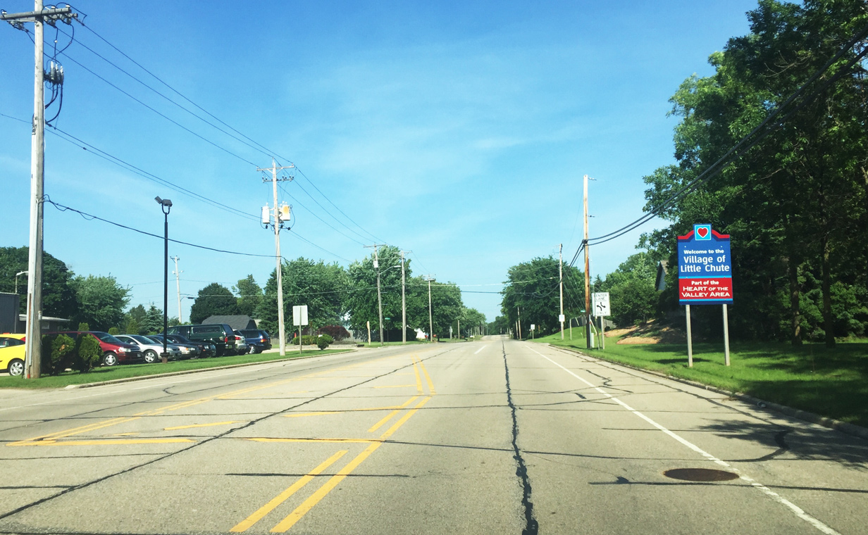
| STH-96 enters the village of Little Chute immediately following the STH-441 freeway. Drivers wanting access to the belt freeway should use approaching French Road north to North Avenue west to make the connection. 06/11/16 |
|
| A random reassurance marker lines Wis 96 (Main Street) east as the trunk highway and adjacent Fox River arc southeast near the Cedars Locks. A series of locks and dams line the Fox River between Little Chute and Kaukauna to alleviate the rapids along this stretch of river. 06/11/16 |
|
| The center turn lane ends ahead as Main Street reaches a residential section of Little Chute. Travel speeds also reduce on the approach to the village center. 06/11/16 |
|
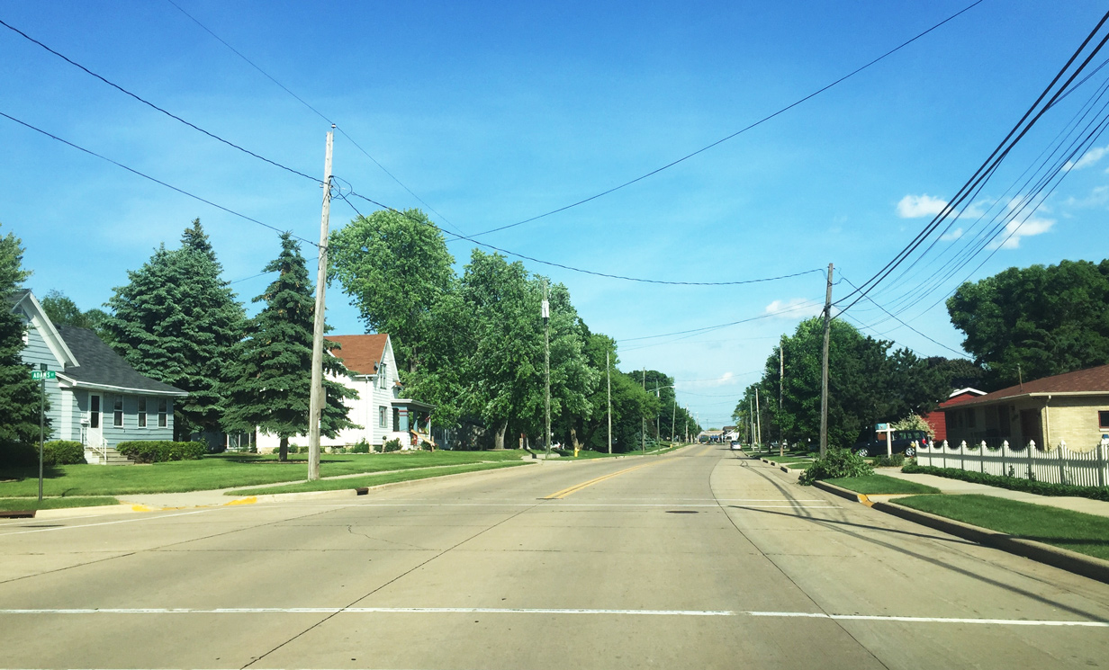
| Adams Street stems a short distance north from Wis 96 into a residential neighborhood. 06/11/16 |
|
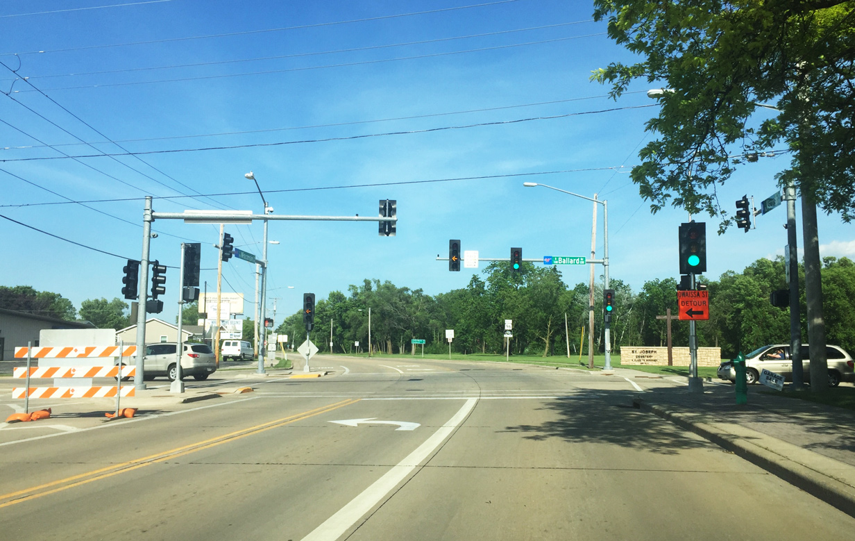
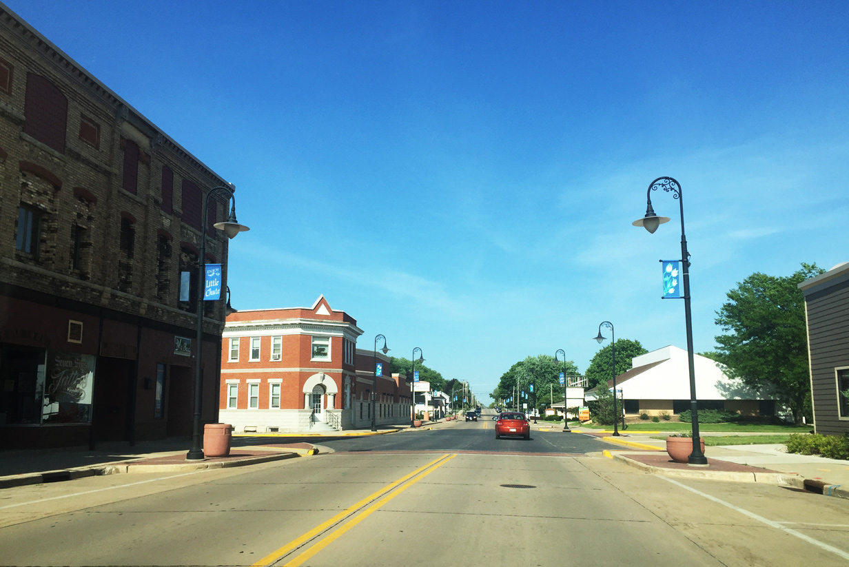
| Wis 96 (Main Street) approaches the signal at Outagamie County N (Madison Street) in the heart of Little Chute. CTH-N is the primary north-south roadway connecting Little Chute, Kimberly, Combined Locks, and Harrison. The county trunk highway is also the only Fox River crossing between east Appleton and Kaukauna. When Wis 441 opened in 1993 it alleviated traffic along CTH-N. 06/11/16 |
|
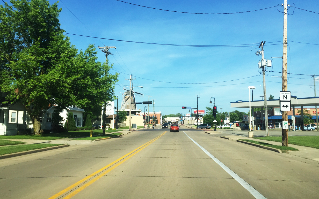
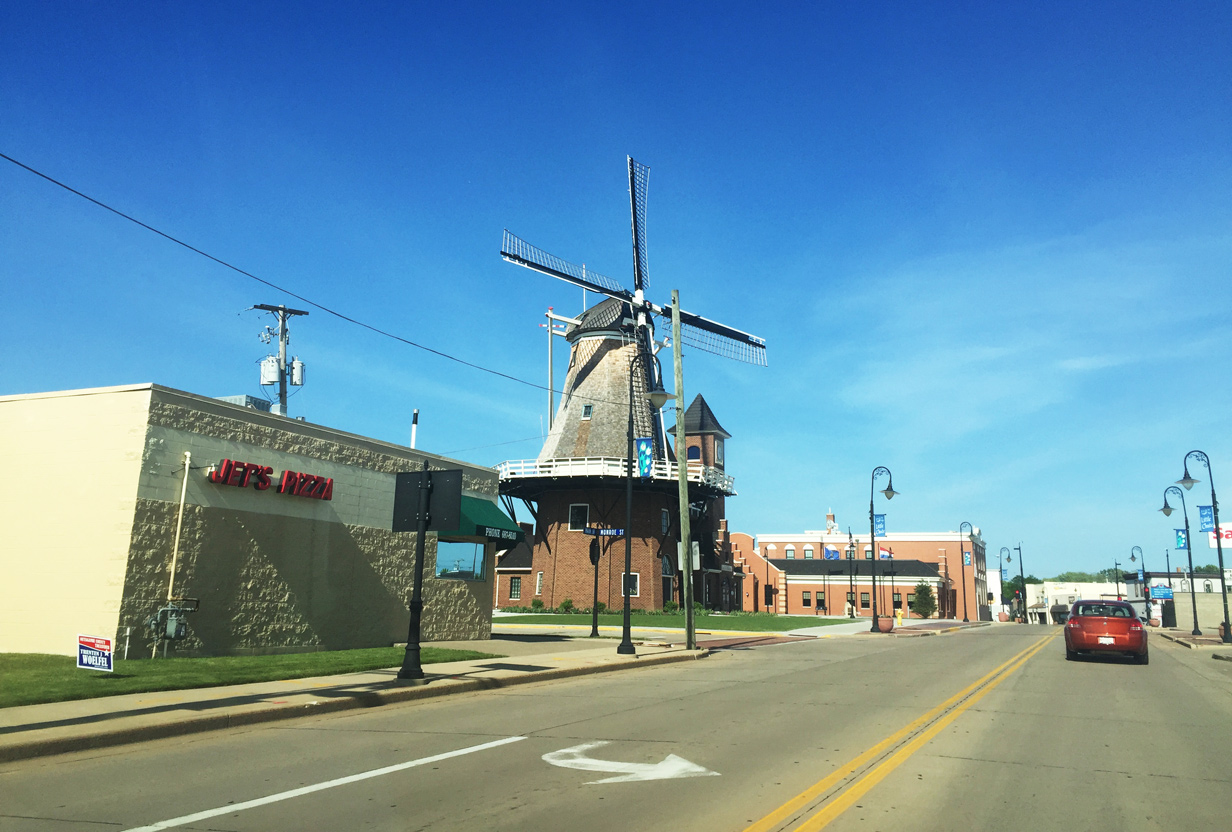
| Drivers pass by the Little Chute Windmill and Van Asten Vistor Center as STH-96 and Main Street kink northeast through the village. A fully functional windmill (based on an 1850s Netherlands design) was built with private donations from people in the area as a tribute to the Dutch heritage of Little Chute. 06/11/16 |
|
| Main Street continues through the eastern commercial area of Little Chute. 06/11/16 |
|
| This reassurance marker stands along Wis 96 (Main Street) beyond Jackson Street. Otherwise Main Street passes through a residential area as it continues toward Kaukauna. 06/11/16 |
|
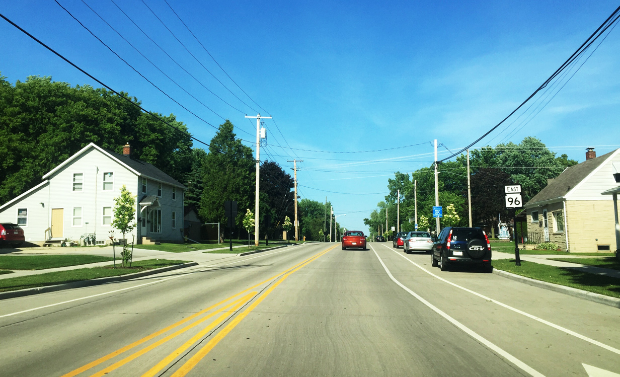
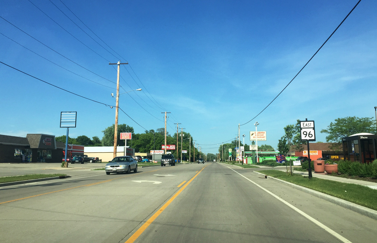
| Main Street widens with a continuous turn lane in an isolated commercial area near the village limits. 06/11/16 |
|
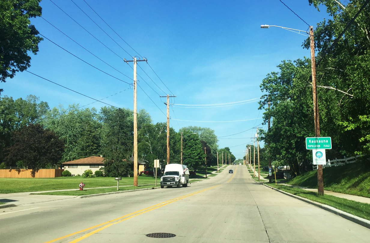
| Wis 96 east enters the city of Kaukuana beyond the intersection with Hayes Street. 06/11/16 |
|
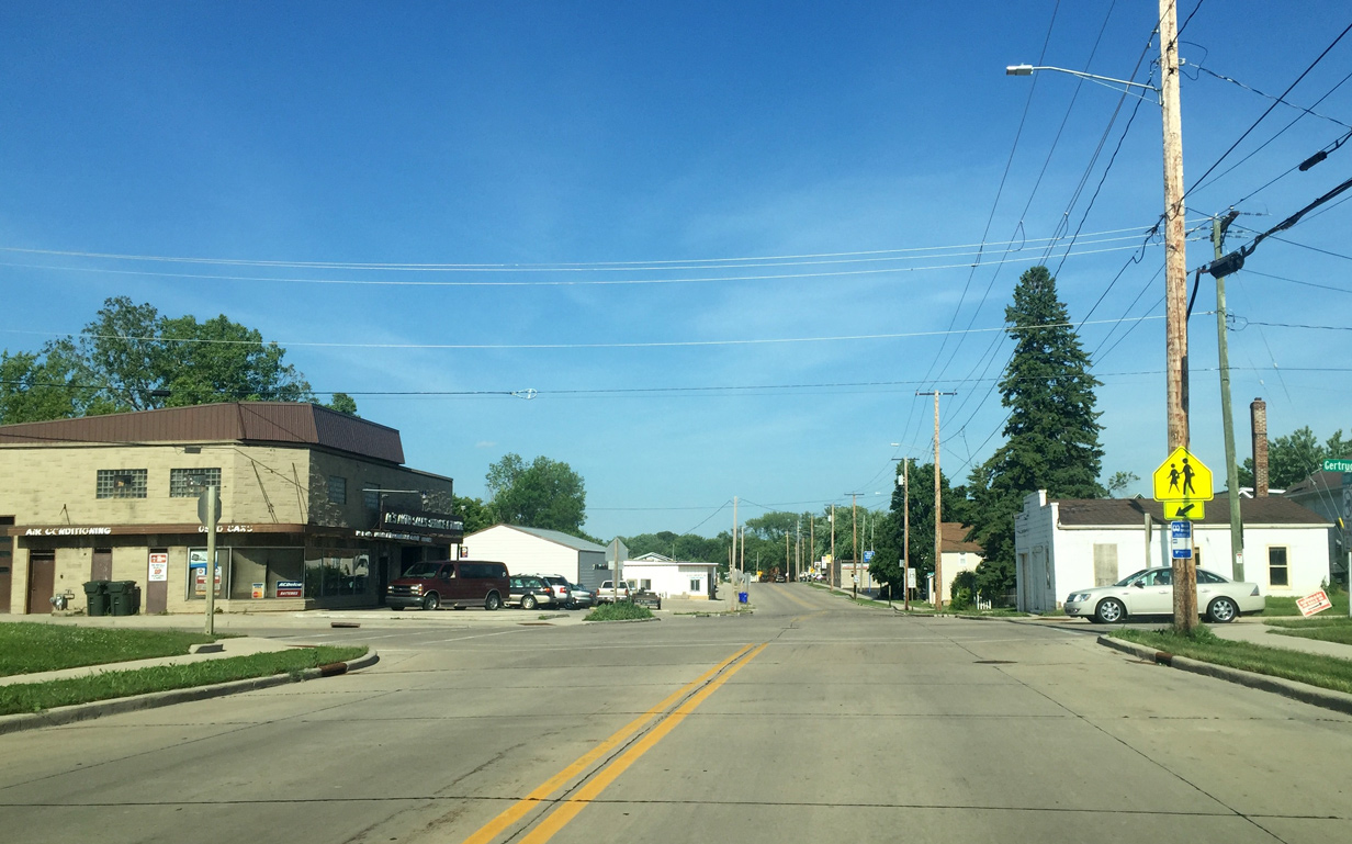
| Gertrude Street provides a short connection between Wis 96 (Draper Street) and CTH-OO (Hyland Avenue). 06/11/16 |
|
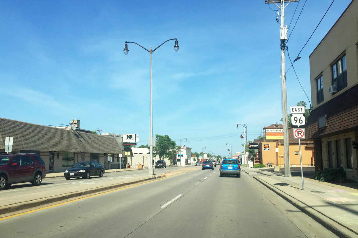
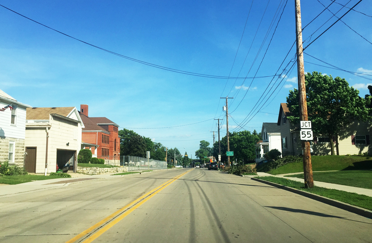
| Turning southeast along Taylor Street, STH-96 approaches STH-55. STH-55 travels 175 miles from the Michigan state line south to U.S. 151 west of Chilton. 06/11/16 |
|
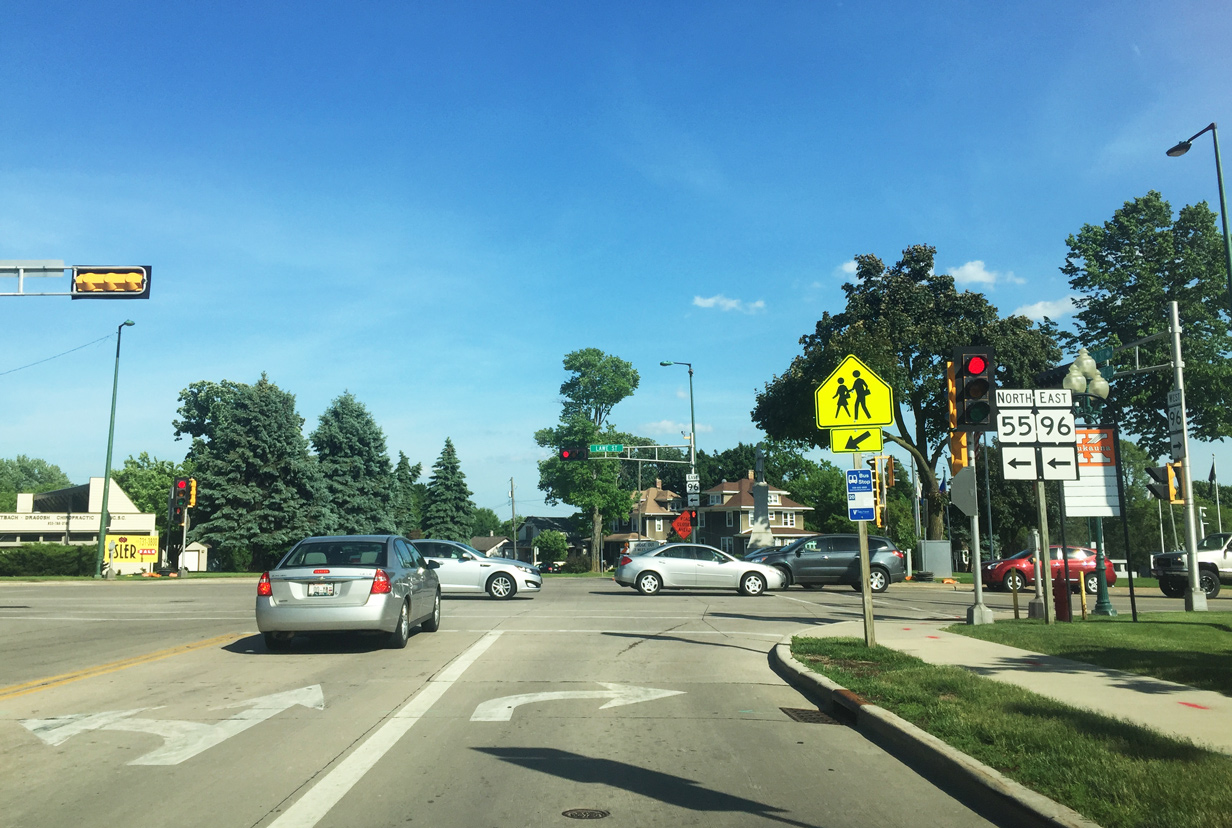
| Wis 96 east overlaps with Wis 55 north along Lawe St for one half mile before departing east once more along Plank Road. Wis 55 turns northwest on Delanglade Street a short distance to an interchange with I-41. Otherwise, CTH-J continues along Lawe Street to points north. 06/11/16 |
Page Updated 07-10-2016.