
Alabama Route 136 forms an L-shaped route within Monroe County south from SR 21/41 to the town of Excel and east to U.S. 84/SR 21 near the Conecuh County line. The state route measures 6.15 miles.
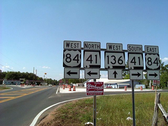 | SR 136 leads north from the town of Excel to meet U.S. 84/SR 41 east of Monroe County Airport (MVC). 06/01/02 |
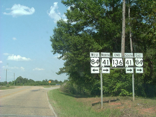
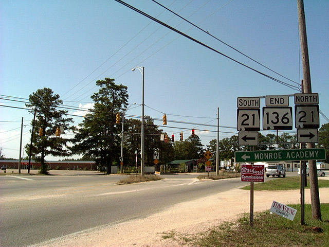 | SR 136 concludes at SR 21/41 to the southwest of Monroeville. SR 21 and SR 41 overlap northward from U.S. 84 to SR 47. 06/01/02 |
 | SR 136 heads three miles south from U.S. 84/SR 41 into the town of Excel. 06/01/02 |
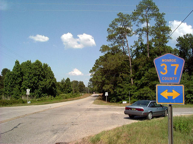 | CR 37 stems south of U.S. 84/SR 41 along Dottelle Road to intersect SR 136 at Beulah Campground Road. CR 37 continues 2.9 miles to Conecuh County Road 5 (Old Stage Road). 06/01/02 |
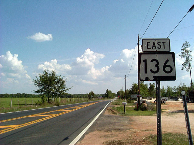
 | The southern leg of SR 136 leads 2.91 miles east from Excel to U.S. 84/SR 41. U.S. 84/SR 41 combine east to Repton. 06/01/02 |
Photo Credits:
06/01/02 by AARoads
Connect with:
U.S. 84
State Route 41
Page Updated 11-21-2003.