|
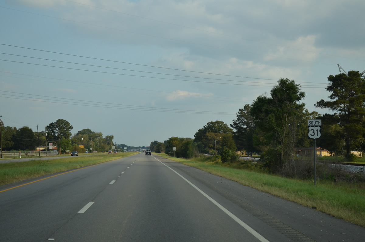
| U.S. 31 (Birmingham Highway) angles southeast from the Alabama River. 10/06/12 |
|
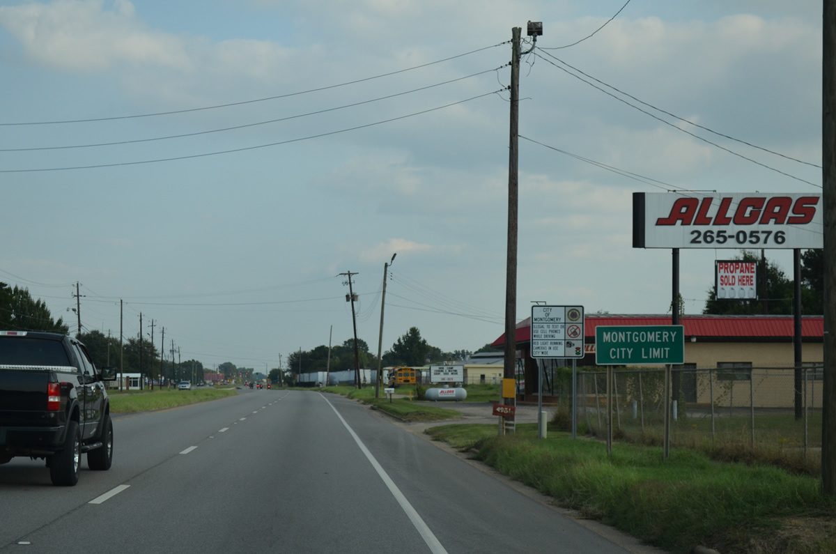
| U.S. 31 enters the city limits of Montgomery 0.8 miles south from the county line at Hunter. 10/06/12 |
|
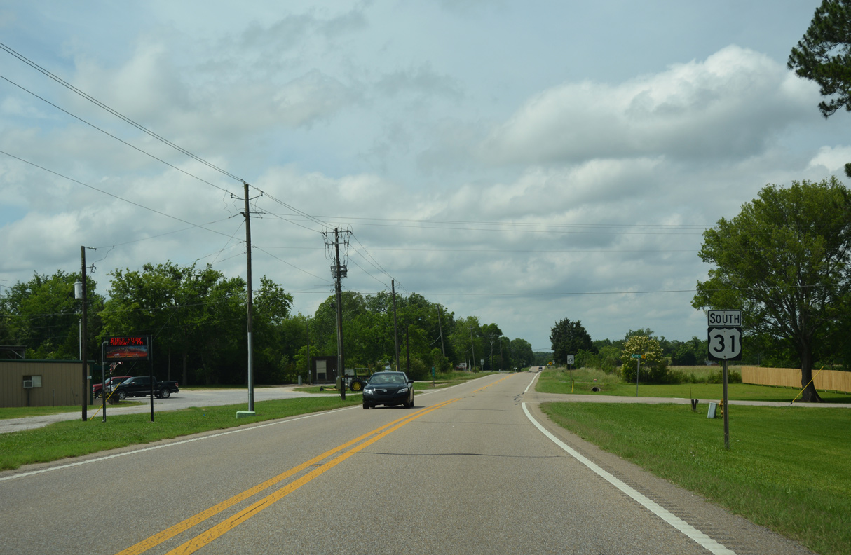
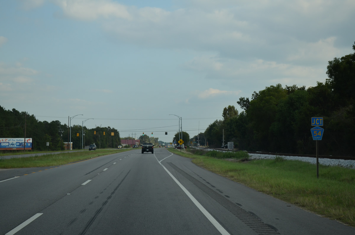
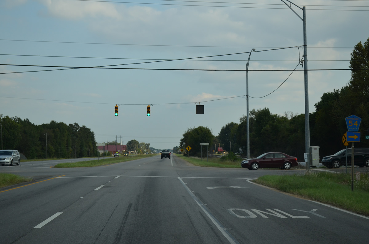
| Montgomery County Route 54 (Hunter Loop Road) runs south from U.S. 31 (Birmingham Highway) at Hunter. 10/06/12 |
|
| CR 54 (Hunter Loop Road) leads south to Grovewood, CR 11 (Ashley Road) and Old Selma Road. CR 54 follows Old Selma Road west to Fairview and Lowndes County east of Manack. 10/06/12 |
|
| U.S. 31 (Birmingham Highway) parallels a Norfolk Southern Railroad line southeast from Hunter to the vicinity of Maxwell Air Force Base. 10/06/12 |
|
| U.S. 31 separates from Birmingham Highway at West Boulevard and bypasses Montgomery from Maxwell Air Force Base southward. 10/06/12 |
|
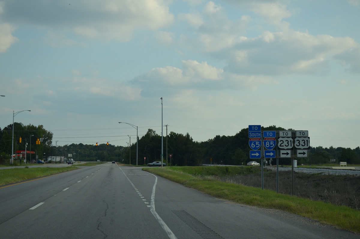
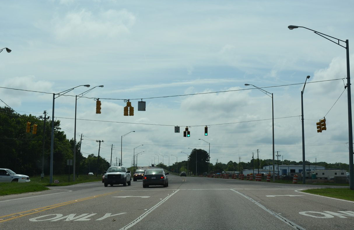
| Birmingham Highway continues along the periphery of Maxwell AFB to partition into Day Street east to I-85 and Maxwell Boulevard east to Downtown. However signage directs all traffic to I-65, I-85, U.S. 231 and U.S. 331 onto West Boulevard and South Boulevard (SR 21) east. 10/06/12 |
|
| West Boulevard carries two lanes southward from Birmingham Highway. Right of way exists to four lane the roadway if ever needed. 06/07/17 |
|
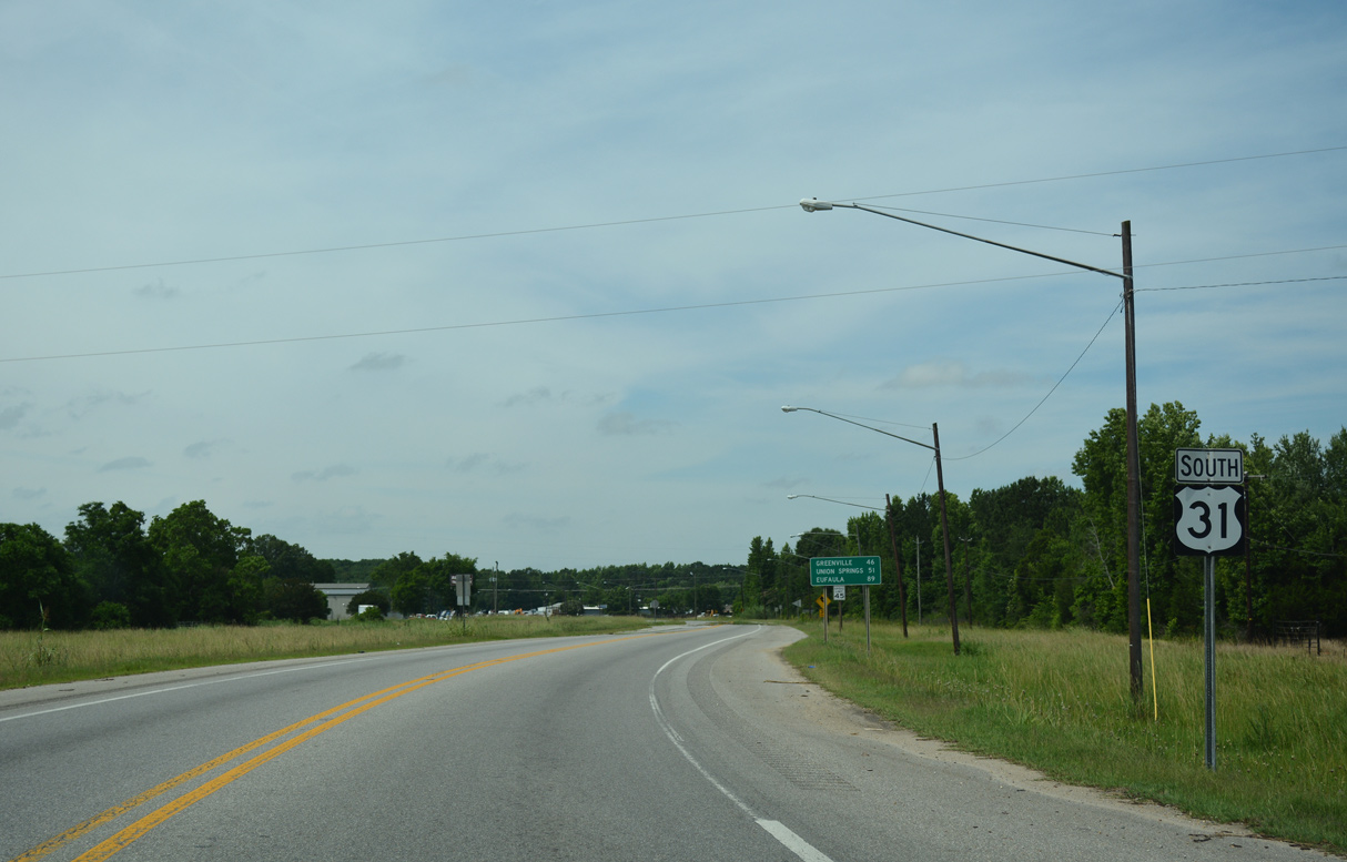
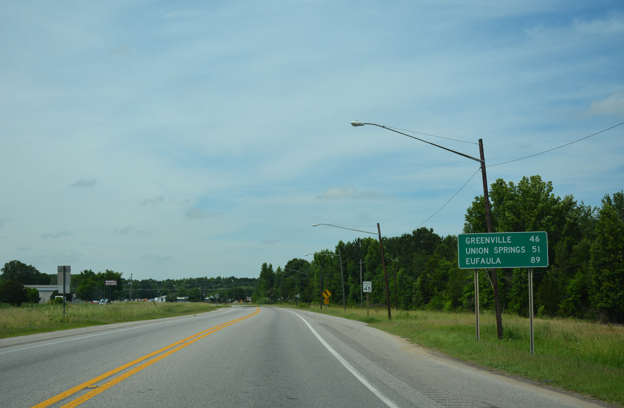
| Although U.S. 82 was removed from the overlap with U.S. 31 between Prattville and Montgomery in 1998, this southbound distance sign posted after Birmingham Highway still lists Union Springs and Eufaula, destinations along U.S. 82. 06/07/17 |
|
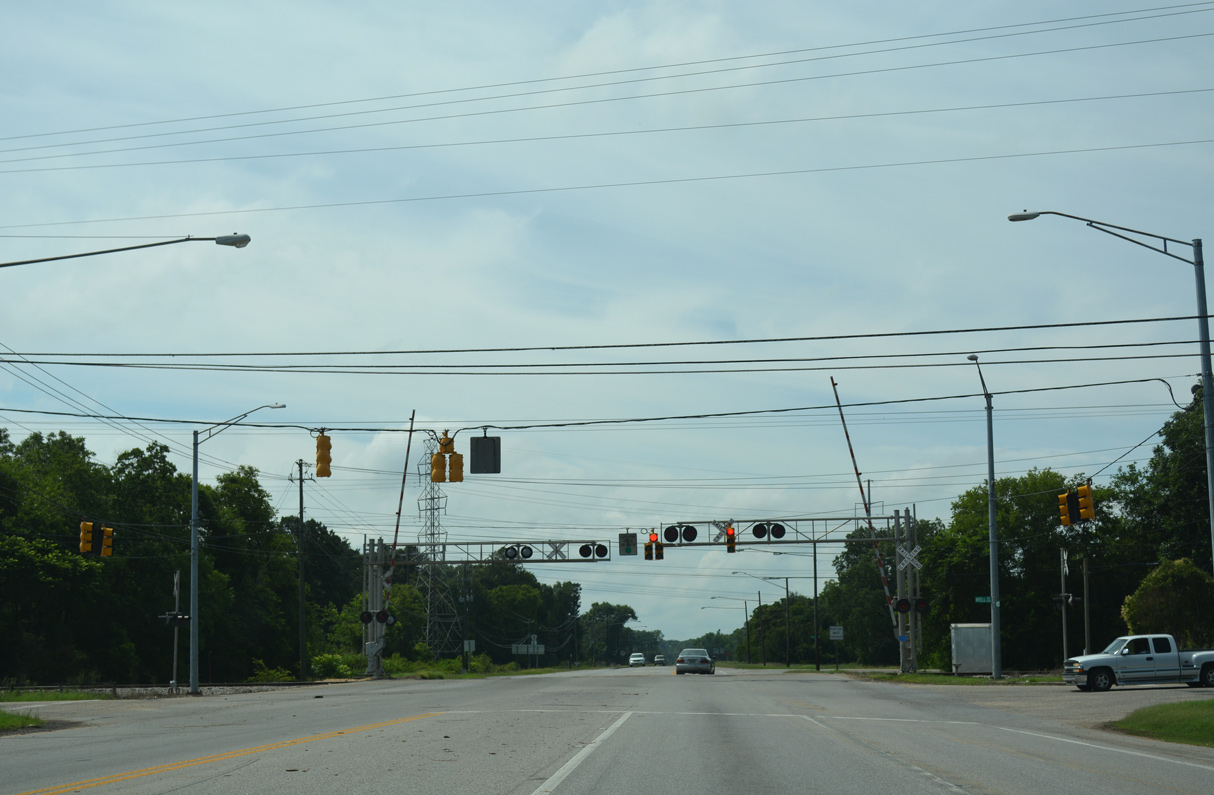
| Old Selma Road west and Well Road east come together at U.S. 31 (West Boulevard) alongside a CSX Railroad crossing. 06/07/17 |
|
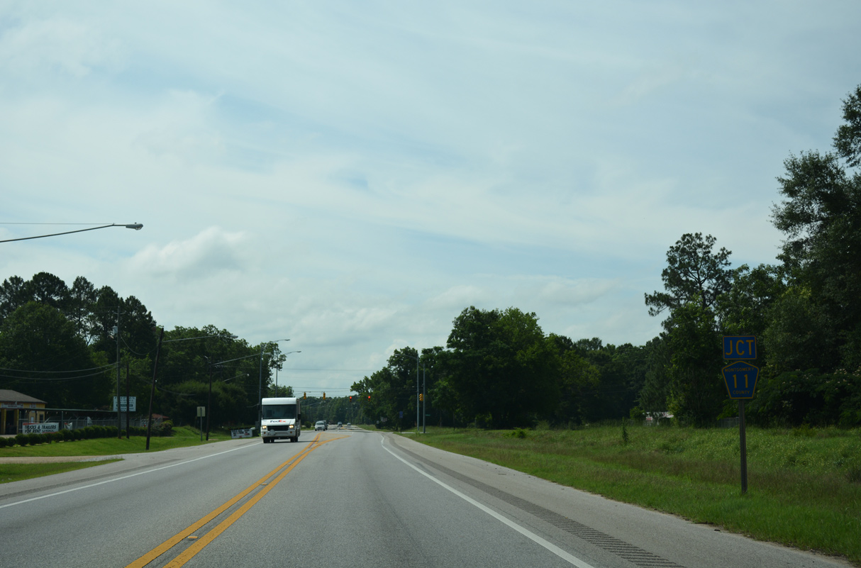
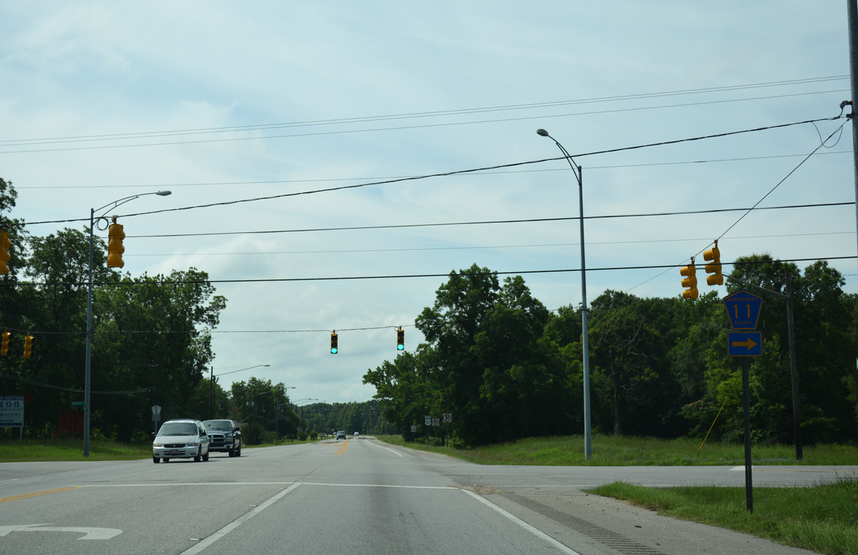
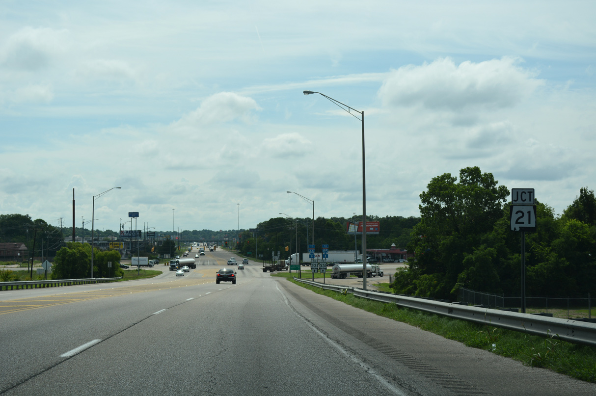
| A short distance south of Old Selma Road along U.S. 31 is Montgomery County Route 11 (Ashley Road) north. 06/07/17 |
|
| Ashley Road (CR 11) links U.S. 31 (West Boulevard) with CR 54 at the turn from Old Selma Road west onto Hunter Loop Road north. 06/07/17 |
|
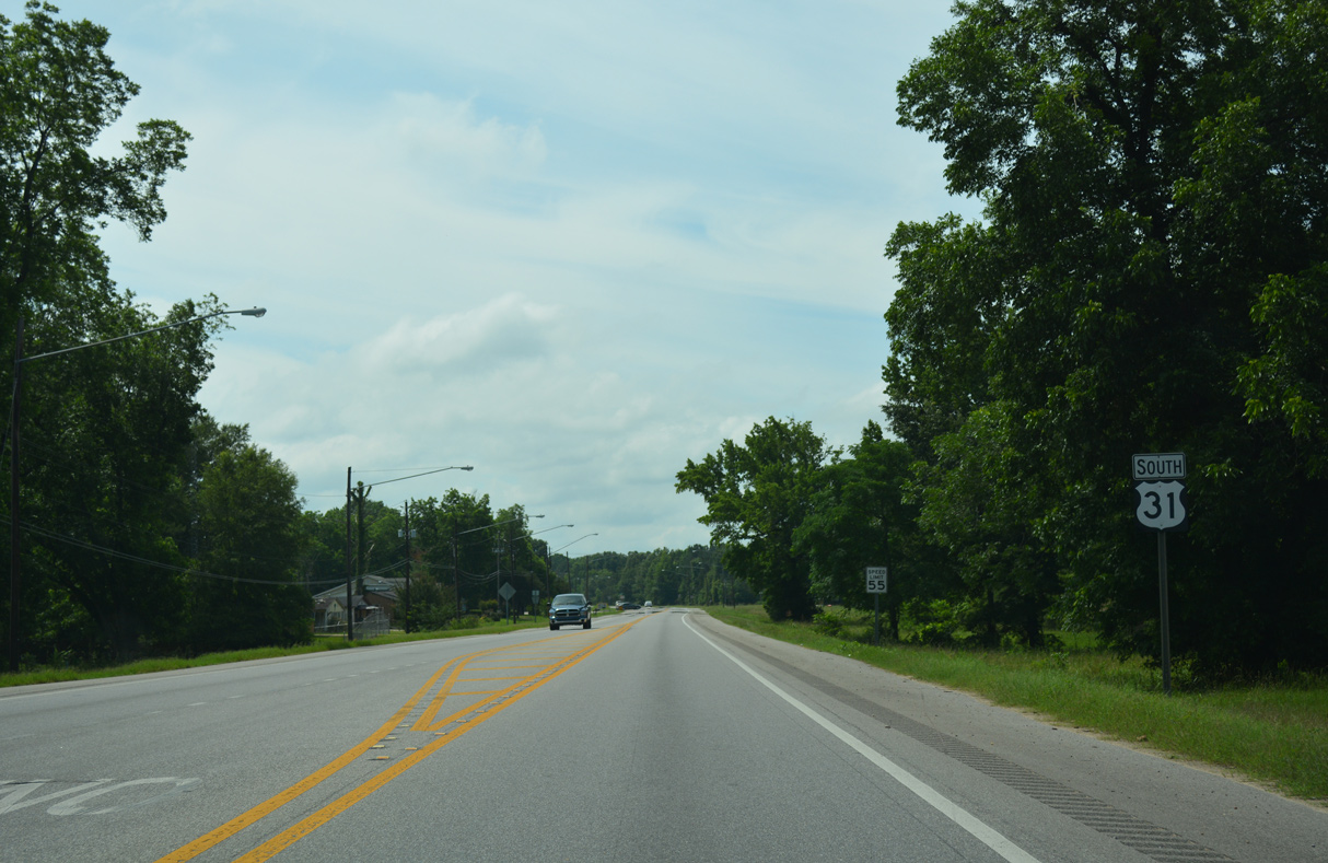
| U.S. 31 (West Boulevard) curves southeast beyond Hayneville Road. 06/07/17 |
|
| A traffic light precedes the CSX Railroad under crossing along U.S. 31 south at Estate Avenue. Estate Avenue connects West Boulevard with an adjacent subdivision and a short frontage road. 06/07/17 |
|
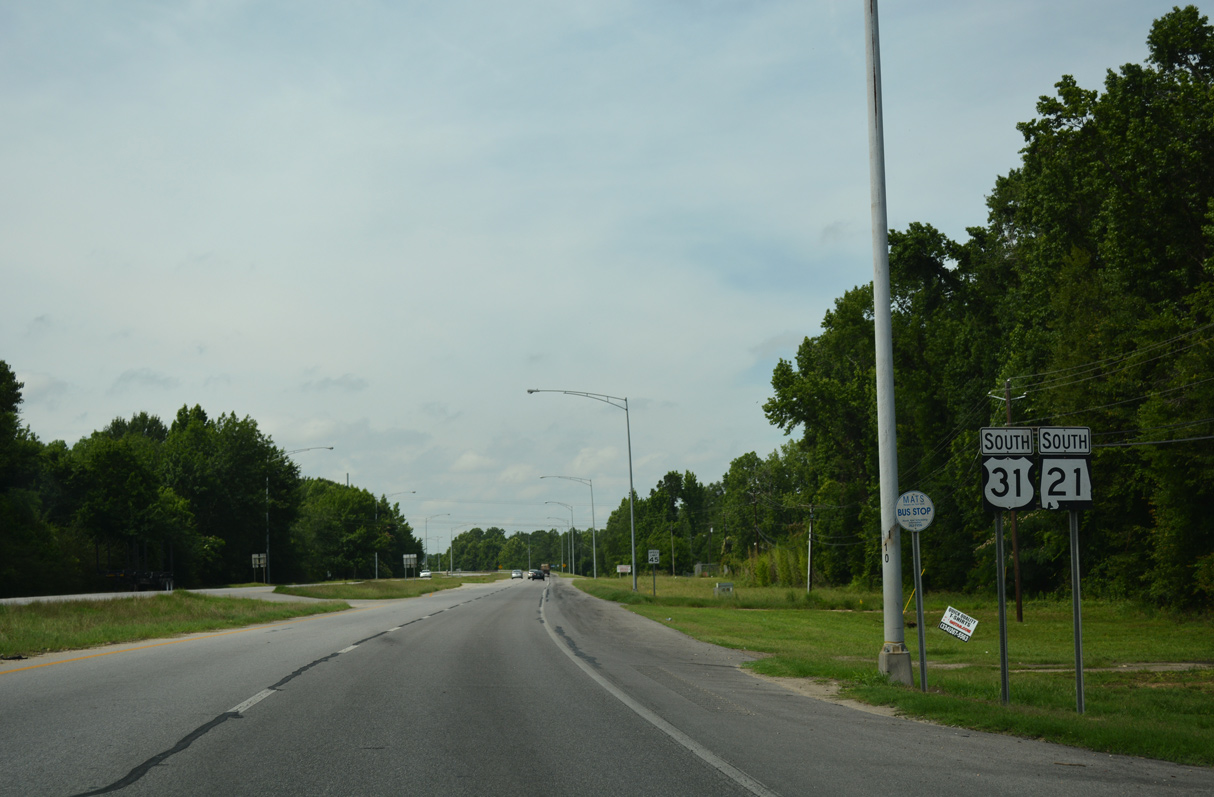
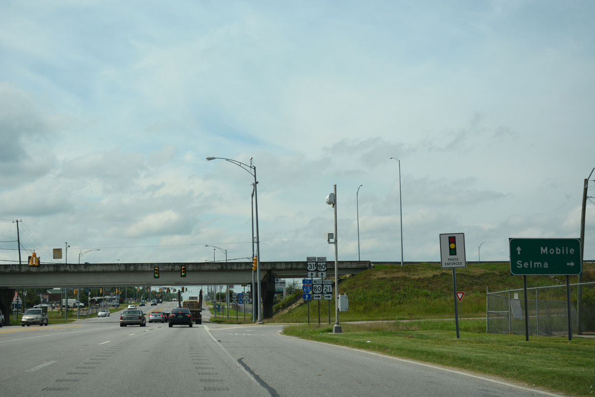
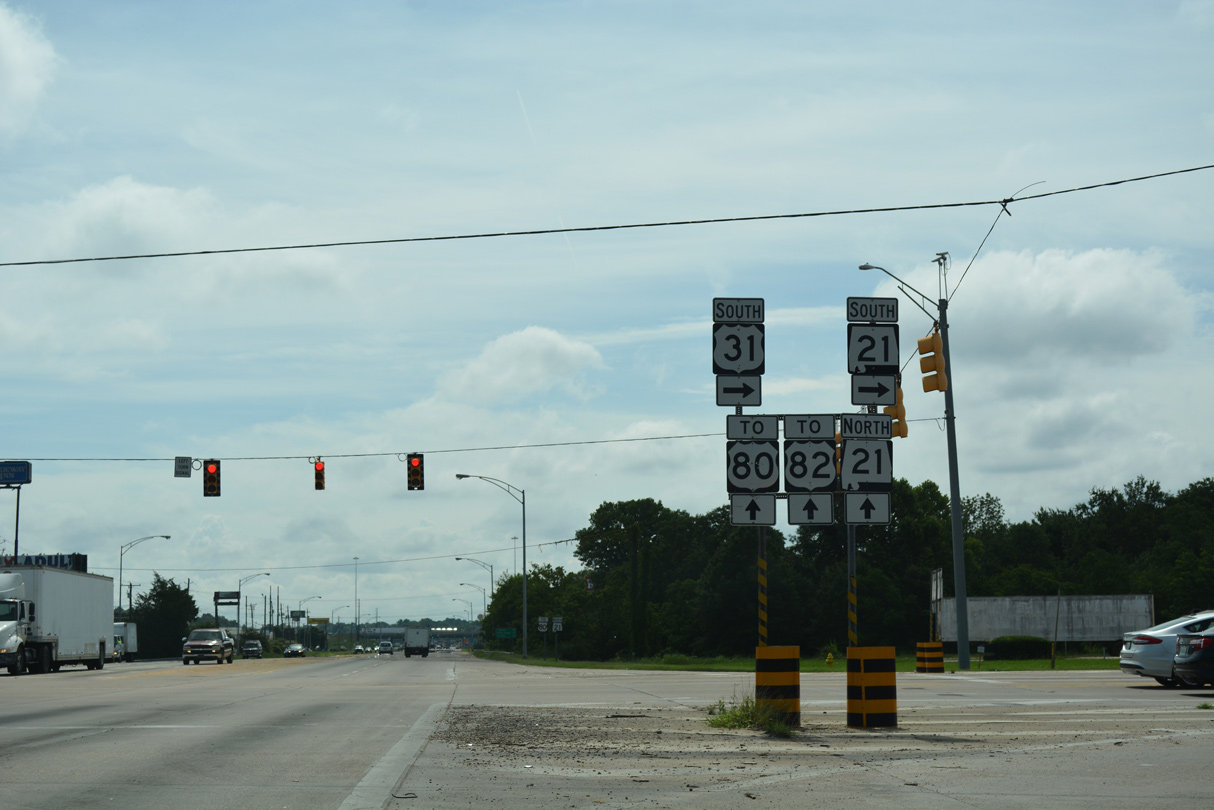
| Traffic along U.S. 31 (West Boulevard) southbound lowers from the CSX Railroad bridge to intersect Mobile Highway and South Boulevard. SR 21 follows Moible Highway south from South Boulevard alongside U.S. 31. 06/07/17 |
|
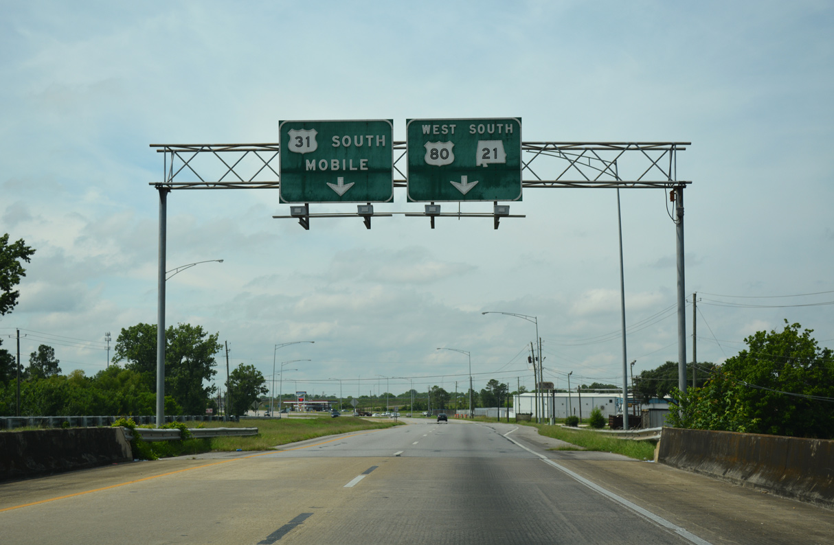
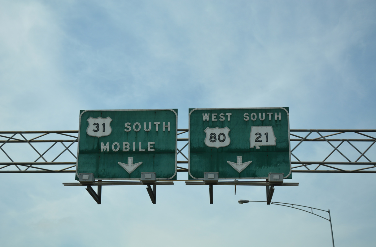
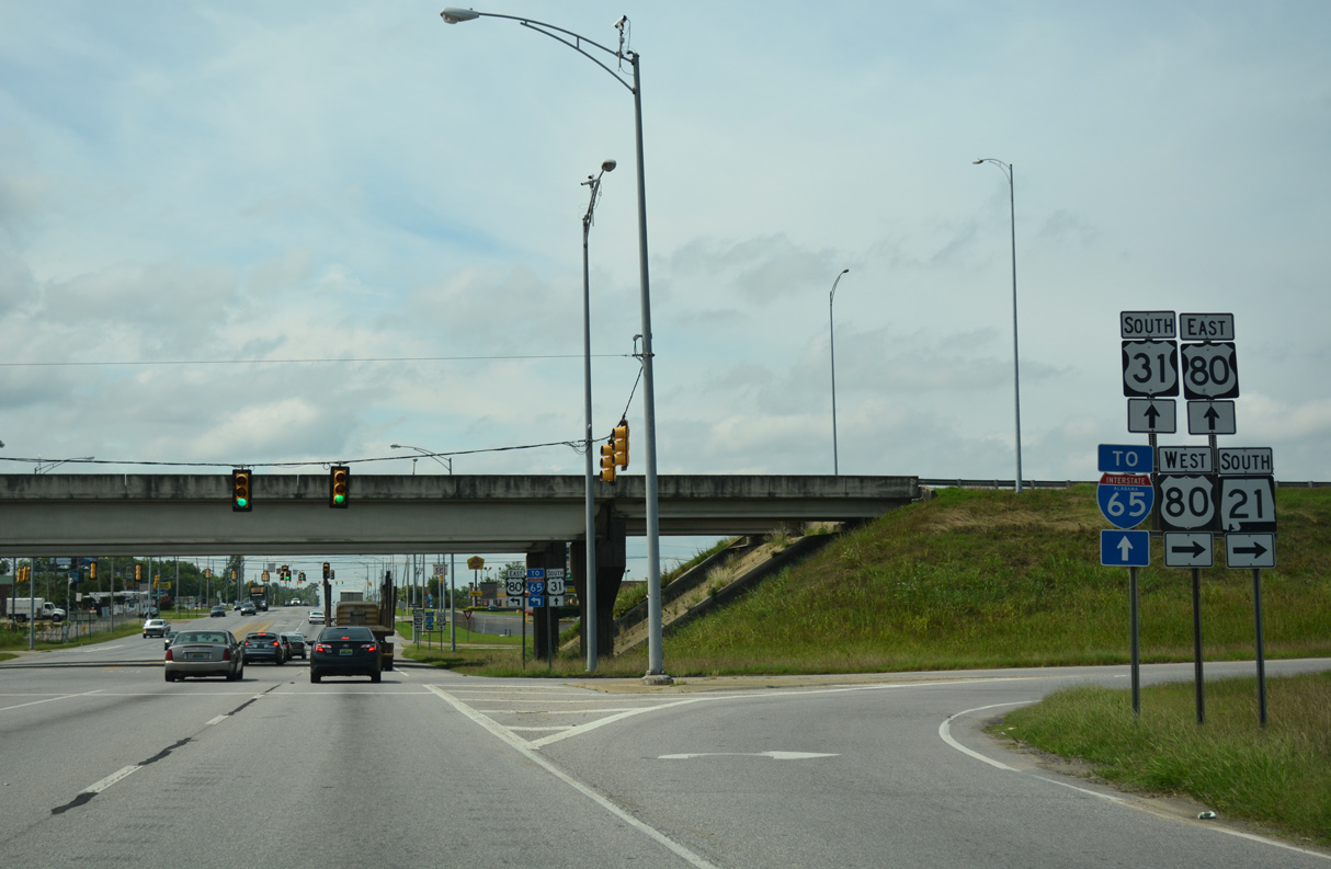
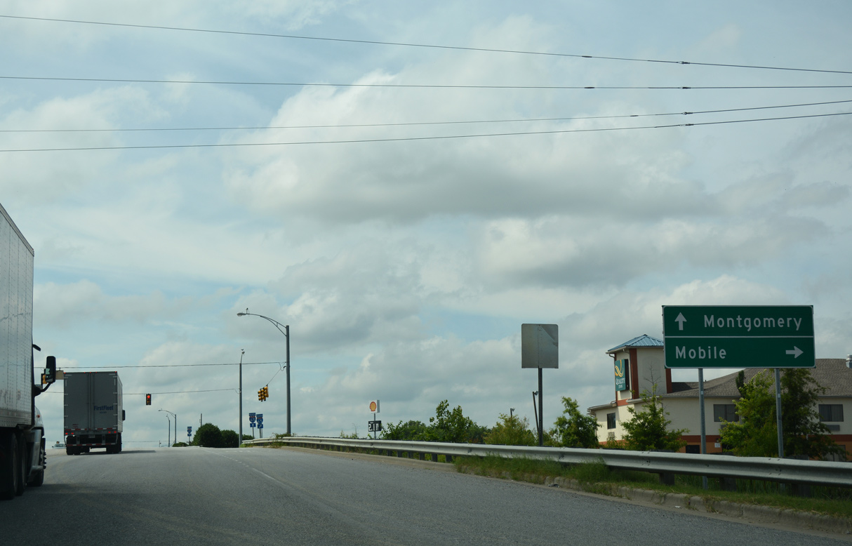
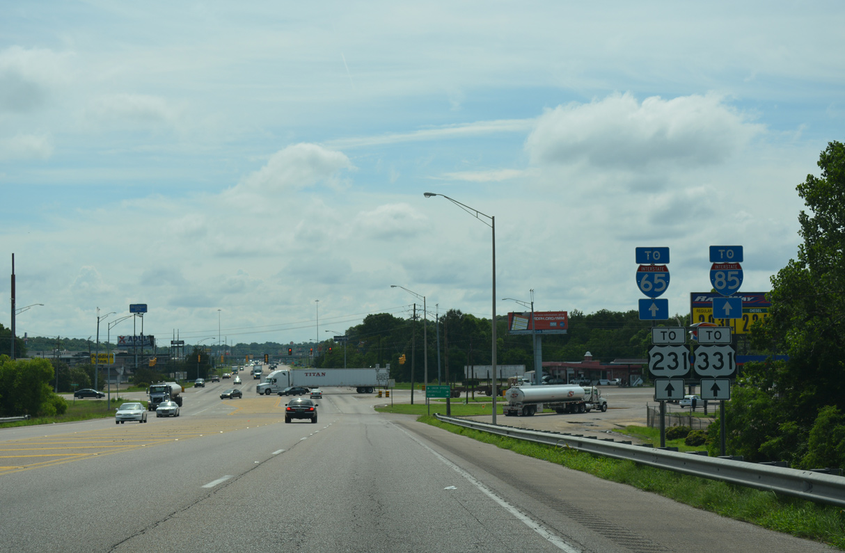
| South Boulevard stems east from U.S. 31 (West Boulevard) and immediately meets Interstate 65 and U.S. 82 west. U.S. 80/82 east follow the commercial arterial to the north end of U.S. 331 nearby and U.S. 231 on the southeast side of Montgomery. 06/07/17 |
|
| U.S. 31 shifts from West Boulevard onto Mobile Highway south to Hope Hull. 06/07/17 |
|
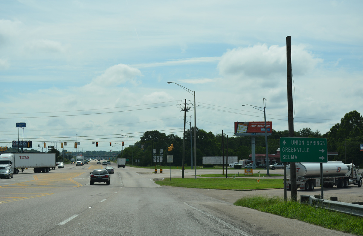
| South Boulevard east doubles as SR 21, U.S. 80, and U.S. 82 between Interstate 65 and Lynndale across the south side of Montgomery. 06/07/17 |
|
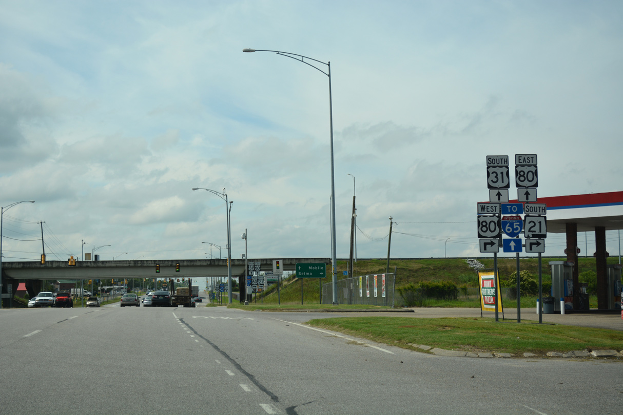
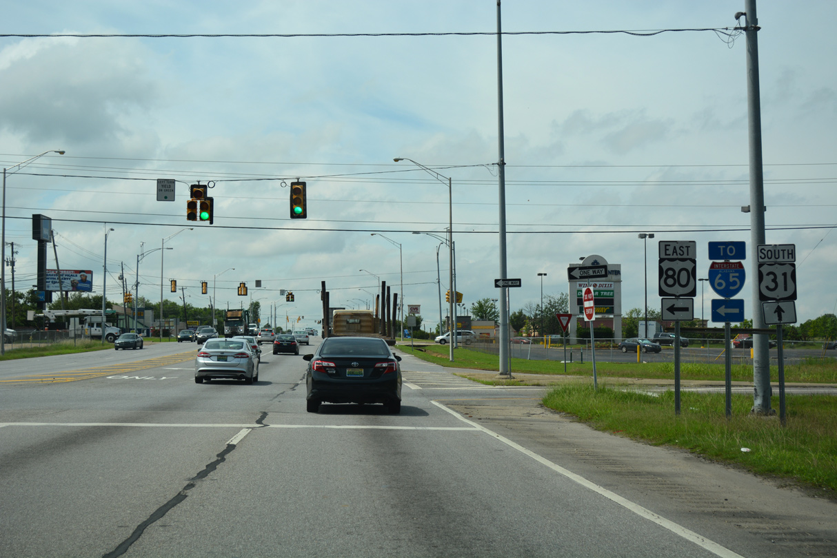
| SR 21 joins U.S. 31 south across Catoma Creek 1.23 miles to U.S. 80 west. 06/07/17 |
|
| Crossing Catoma Creek, button copy overheads precede the diamond interchange with U.S. 80 (Selma Highway). 06/07/17 |
|
| The freeway segment along U.S. 80 between U.S. 31 and I-65 was built in 1992, and these overheads greatly predate the relocation of U.S. 80 away from U.S. 31/SR 21. 06/07/17 |
|
| U.S. 80/SR 21 overlap 10.18 miles west along Selma Highway from U.S. 31 (Mobile Highway). 06/07/17 |
|
| U.S. 80 (Selma Highway) constitutes a four lane, divided highway for most of the 126.94 miles west from U.S. 31 to U.S. 11 at Cuba near the Mississippi state line. This corridor is part of future I-14. 06/07/17 |
|
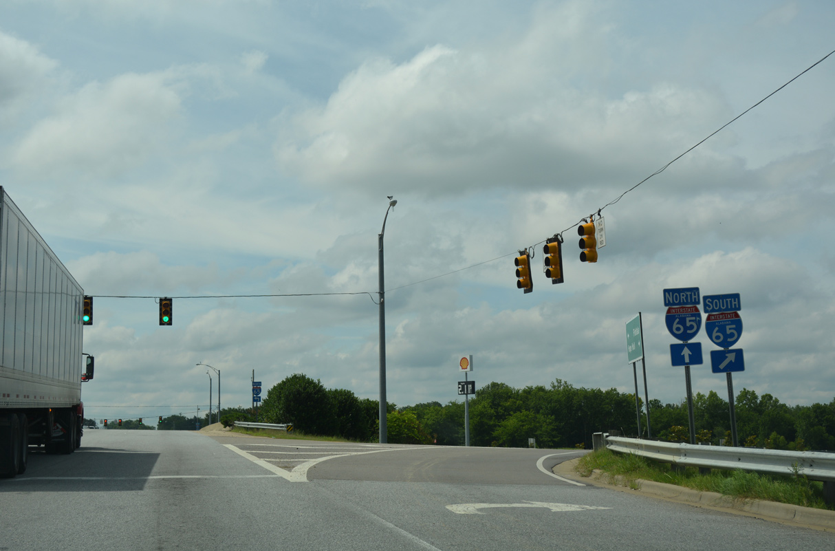
| The freeway along U.S. 80 east connects with Interstate 65 in 0.77 miles. 06/07/17 |
|
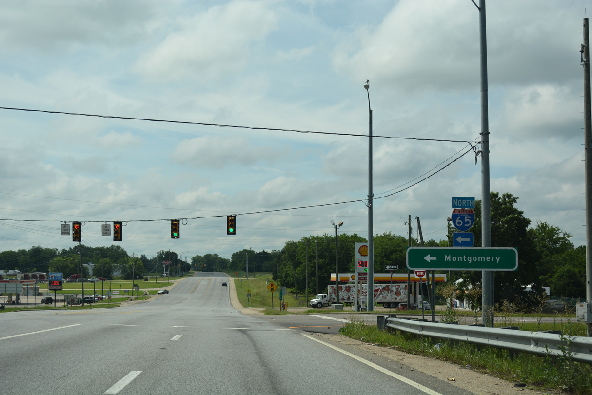
| U.S. 80 joins I-65 north 1.11 miles to U.S. 82/SR 21 (South Boulevard) east. 06/07/17 |
|
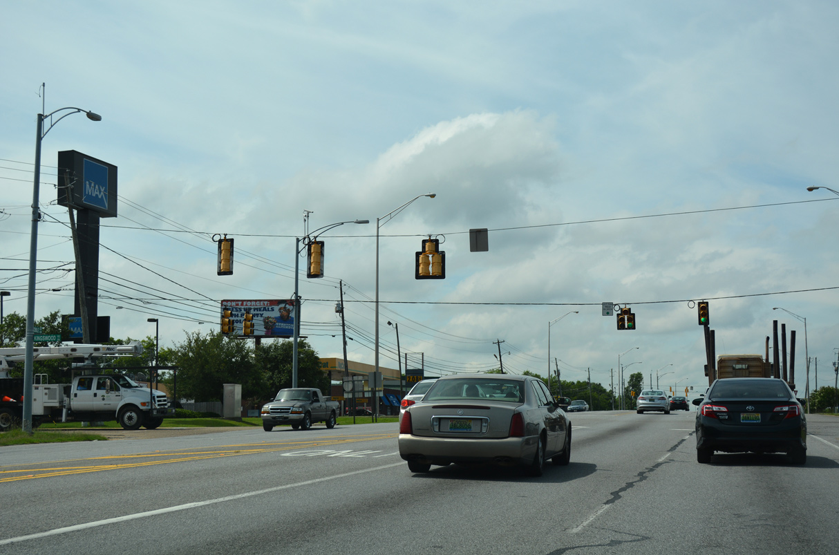
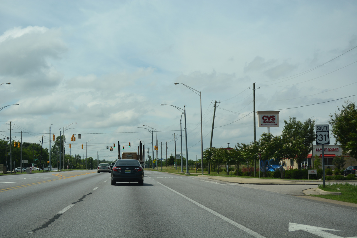
| Kingswood Road west intersects U.S. 31 (Mobile Highway) across from Southlawn Shopping Center. 06/07/17 |
|
| This U.S. 31 confirming marker south of U.S. 80/SR 21 stands across from Bitford Way. 06/07/17 |
|
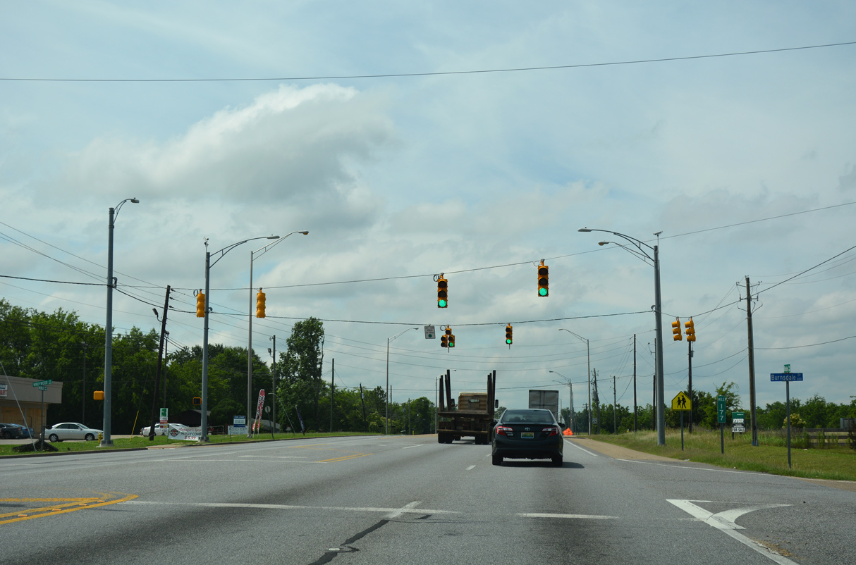
| Mile marker 177 for SR 3 appears at the signalized intersection with Burnsdale Drive west. 06/07/17 |
|
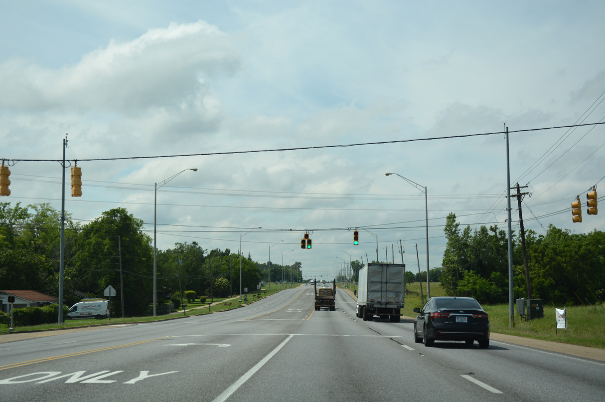
| Southlawn Drive spurs east through the Southlawn Estates neighborhood to an overpass spanning I-65. 06/07/17 |
|
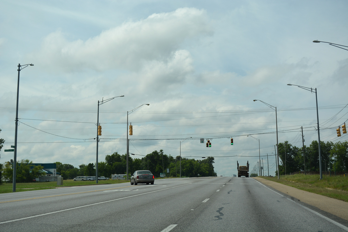
| The succeeding traffic light along US. 31 south in Montgomery is at Greenleaf Drive east. 06/07/17 |
|
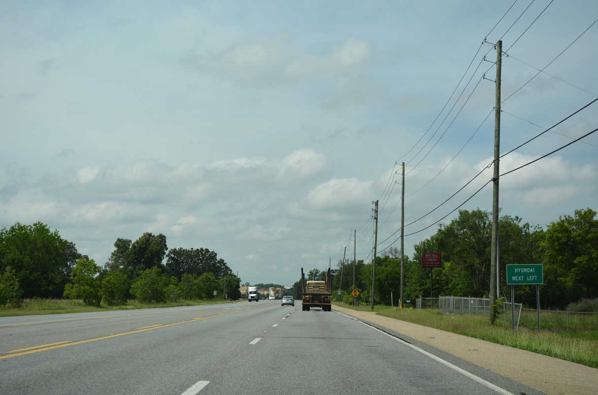
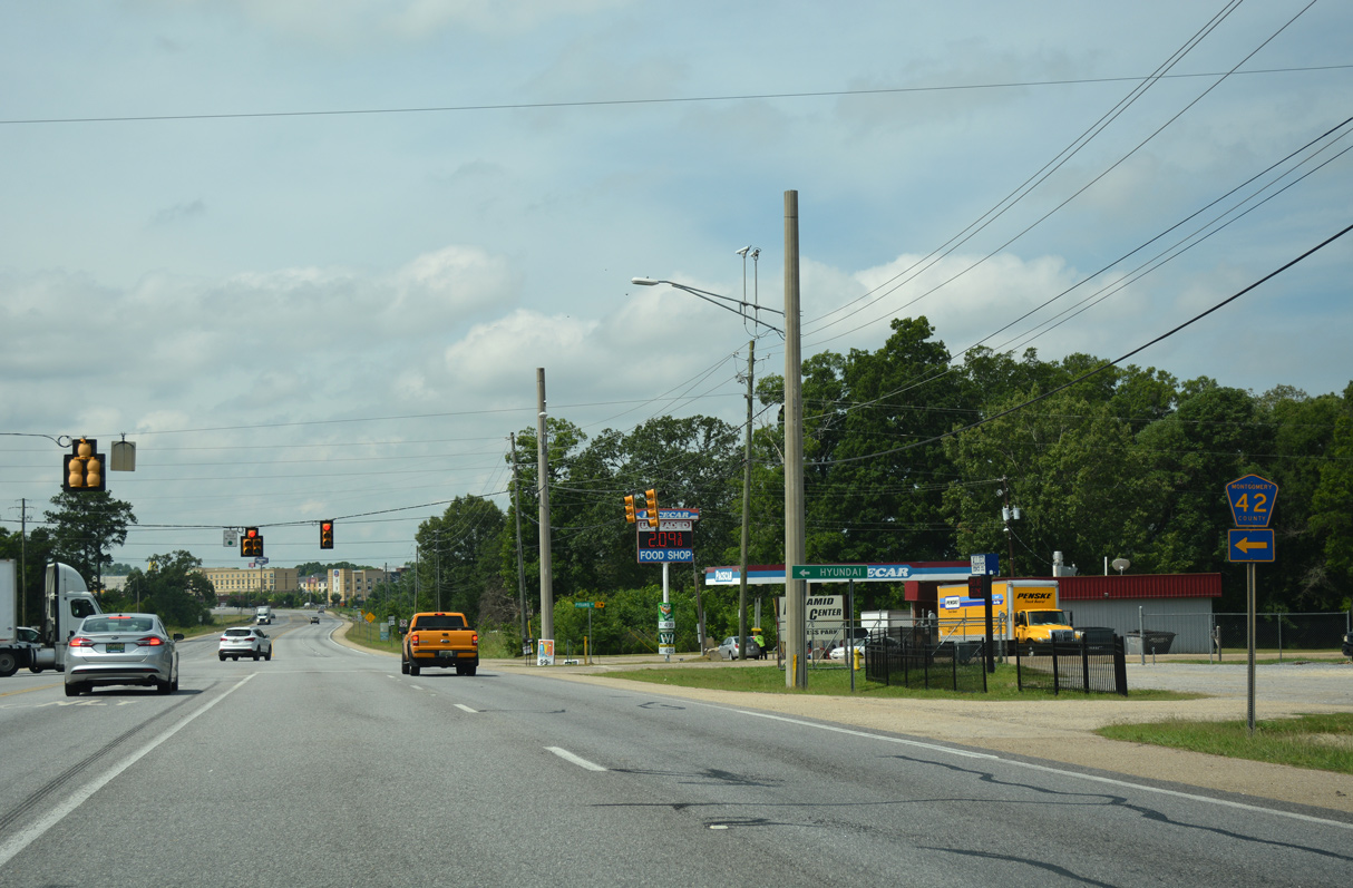
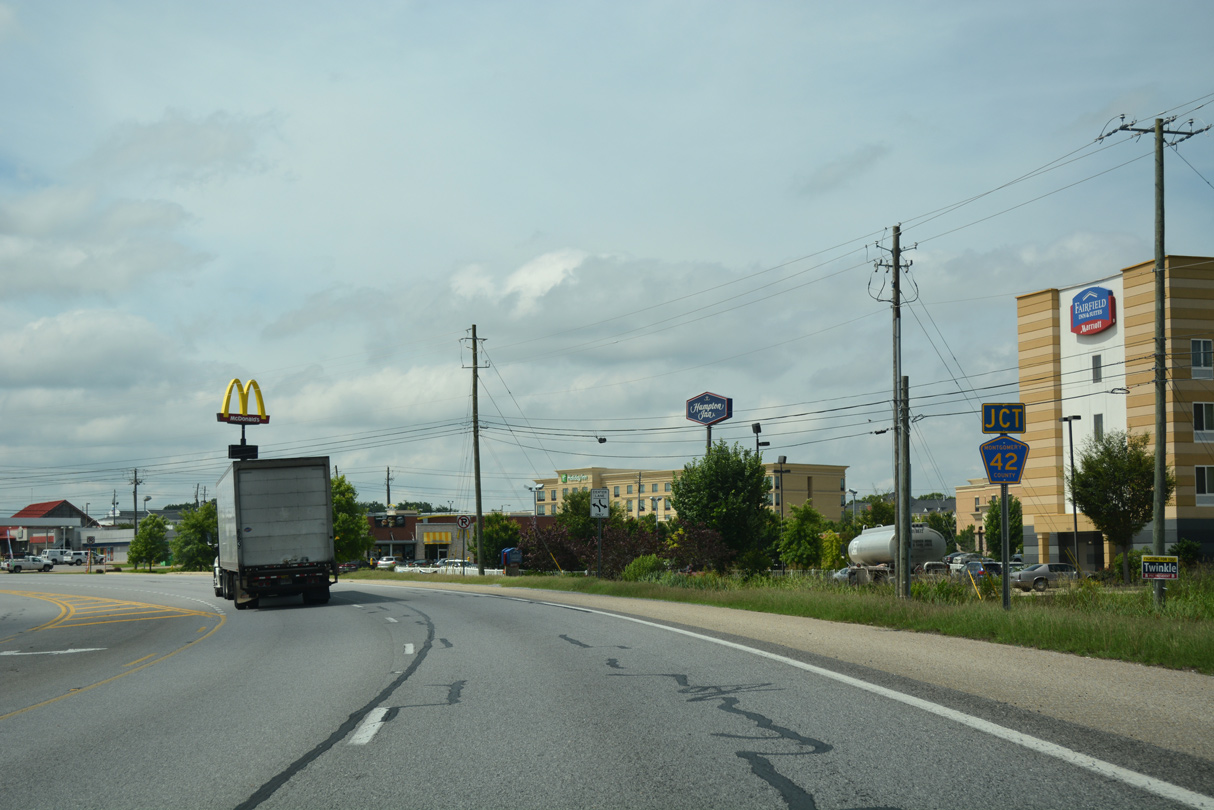
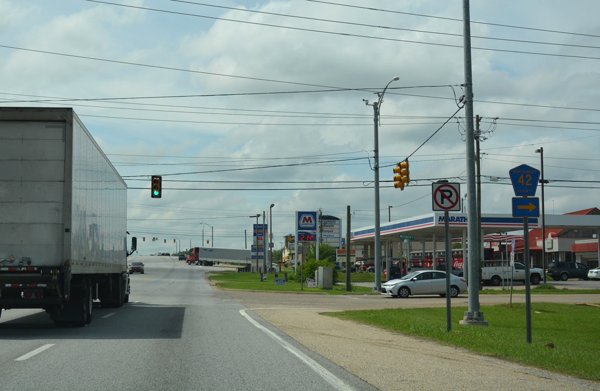
| The Montgomery Hyundai plant lies east between I-65 and U.S. 331 along forthcoming CR 42. 06/07/17 |
|
| The eastern branch of CR 42 follows Hyundai Boulevard 2.7 miles along the Montgomery city line to U.S. 331 (Norman Bridge Road). 06/07/17 |
|
| Installed by 2013, the erroneous shield for SR 31 south of CR 42 (Hyundai Boulevard) remains as of June 2022. 06/07/17 |
|
| The western leg of CR 42 follows Wasden Road from U.S. 31 in southwestern reaches of the Montgomery city limits. 06/07/17 |
|
| Connecting with CR 15 (Lamar Road) at McGehees, CR 42 runs 1.1 miles west. CR 15 becomes CR 26 in Lowndes County west to Tyson and Hayneville. 06/07/17 |
|
| U.S. 31 south enters a diamond interchange (Exit 164) with Interstate 65 at Hope Hull. 06/07/17 |
|
| Interstate 65 heads southwest into Lowndes County ahead of CR 6 to Tyson en route to Fort Deposit, Greenville, Evergreen and Mobile. 06/07/17 |
|
| North into Montgomery, I-65 continues 7.37 miles from U.S. 31 and Hope Hull to Interstate 85 outside Downtown. 06/07/17 |
|
| The five lane section of U.S. 31 concludes 0.4 miles south of the exchange with Interstate 65 at Hope Hull. 06/07/17 |
|
| Fischer Road spurs southwest to a private school from a traffic light with U.S. 31. 06/07/17 |
|
| U.S. 31 narrows to two lanes beyond the left turn for Vista Del Verde Drive at the Lagos Del Sol subdivision. 06/07/17 |
|
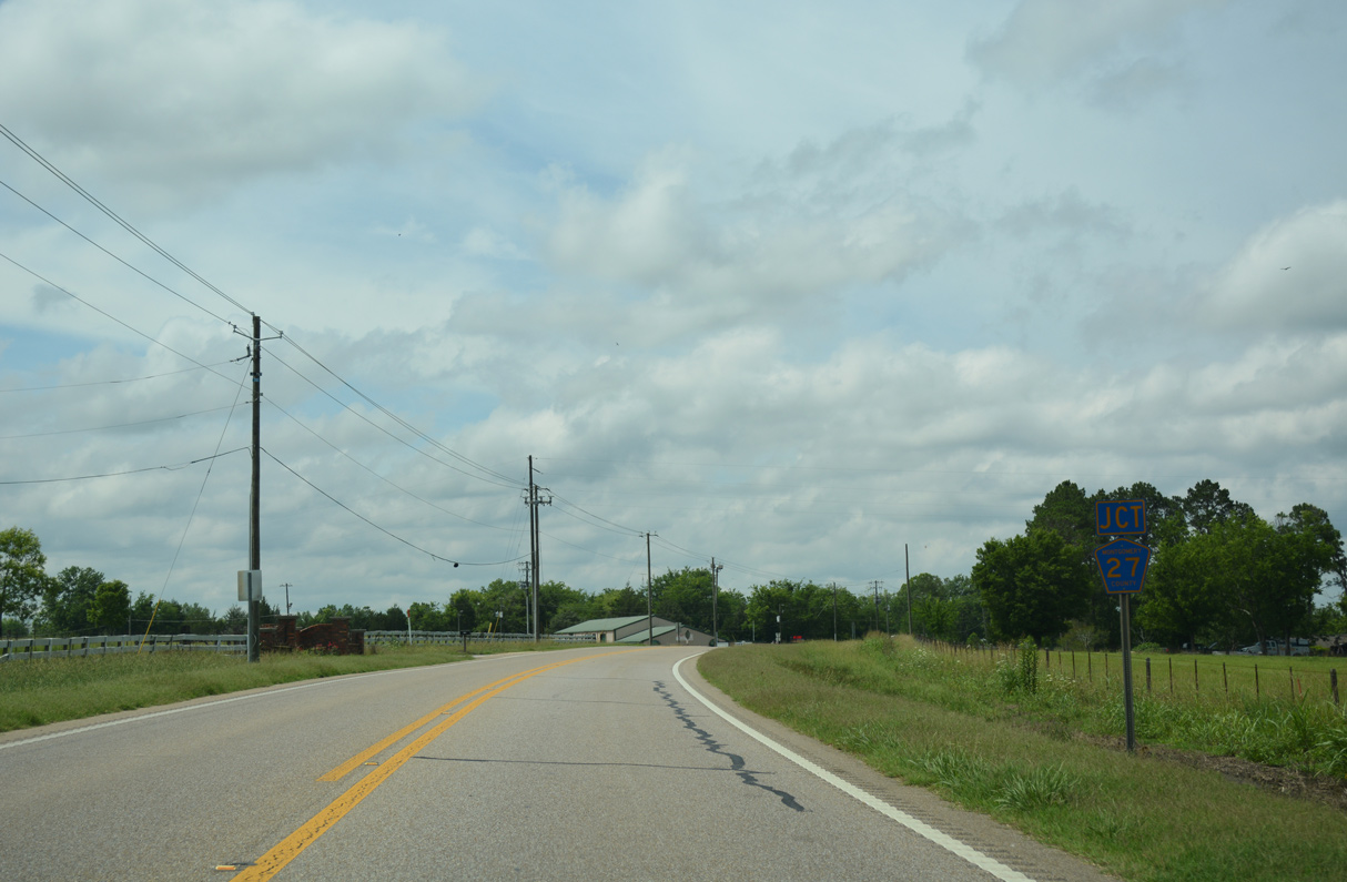
| U.S. 31 passes through the proposed location of the Montgomery Outer Loop (SR 108), where a diamond interchange was planned, ahead of CR 27 (Old McGehee Road). 06/07/17 |
|
| Old McGehee Road links U.S. 31 with CR 23 (Butler Mill Road) 3.2 miles to the east. U.S. 31 shifts west beyond CR 27. 06/07/17 |
|
| E McLean Road spurs west from U.S. 31 to Henderson Road. The original construction of Interstate 65 severed the road from W McLean Road north to CR 15 (Wasden Road). 06/07/17 |
|
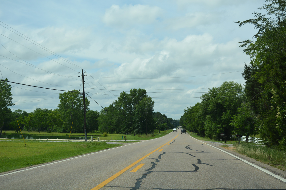
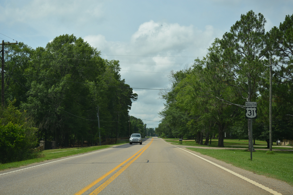
| U.S. 31 turns south beyond Lake Edna. 06/07/17 |
|
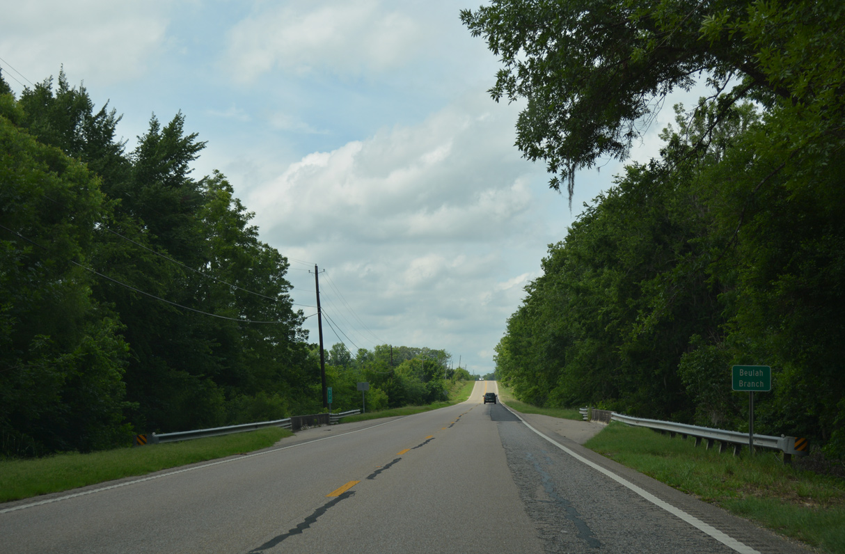
| U.S. 31 south at Beulah Branch. 06/07/17 |
|
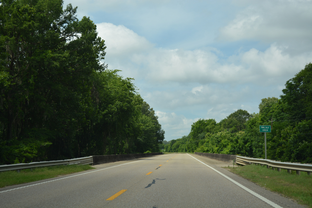
| Navigating through an S-curve, U.S. 31 spans Pintlala Creek. 06/07/17 |
|
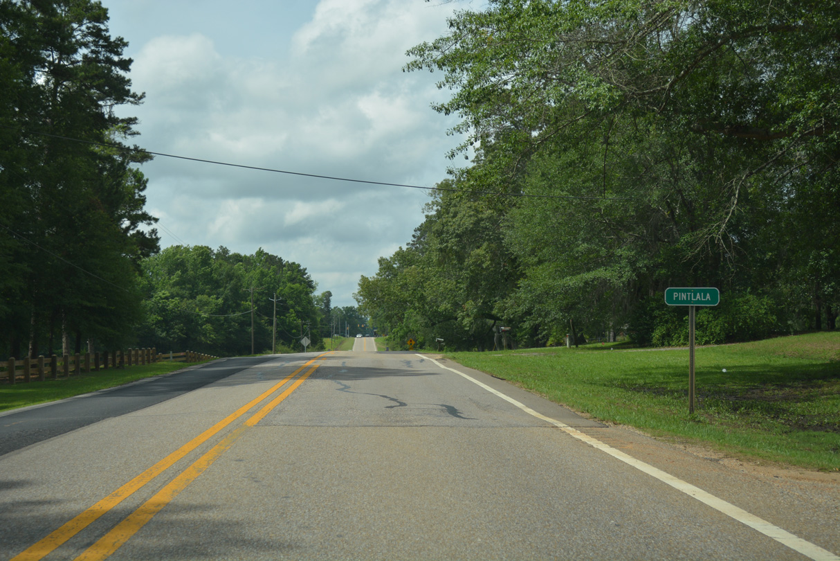
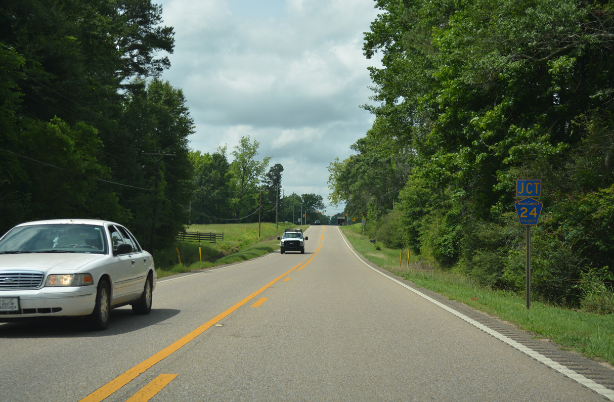
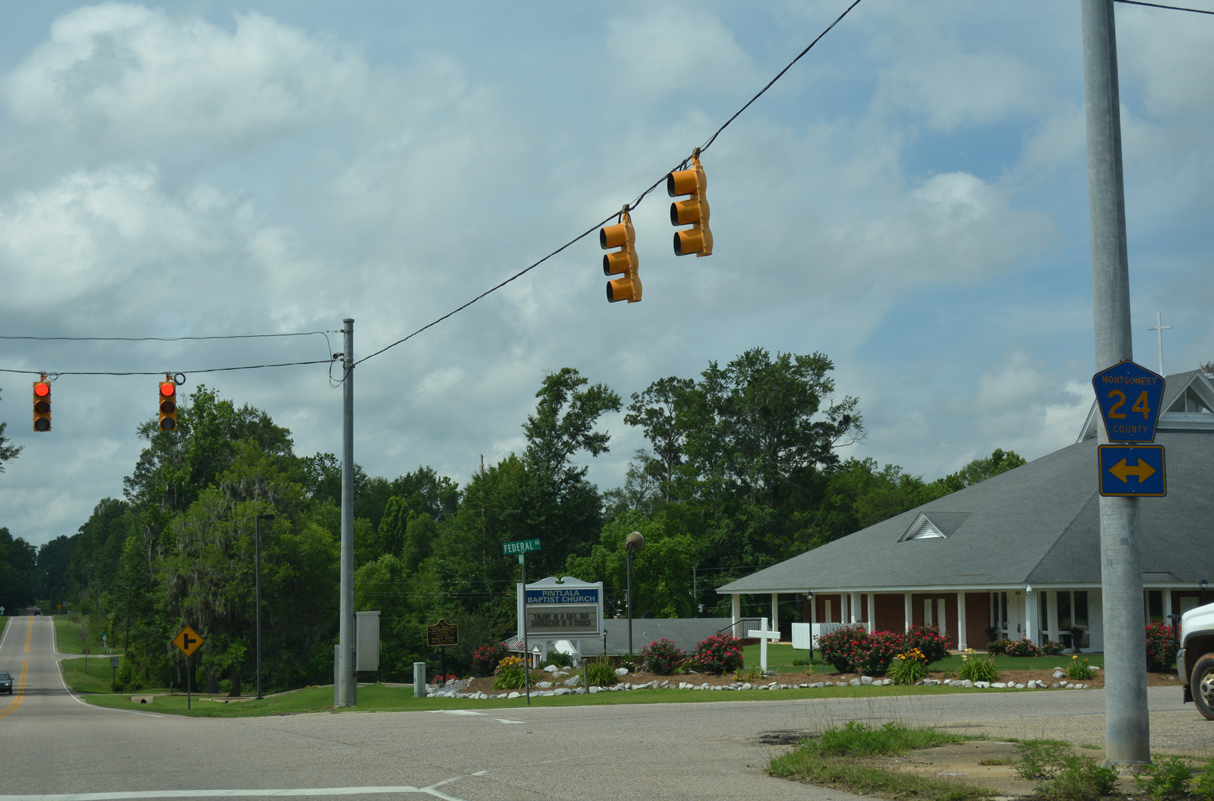
| The unincorporated community of Pintlala centers around the cross roads of U.S. 31 and CR 24 (Old Hayneville Road east / Federal Road west). 06/07/17 |
|
| CR 24 heads 3.4 miles east from U.S. 31 at Pintlala to CR 23 (Butler Mill Road) beyond Pine Needles. 06/07/17 |
|
| West from Pintlala, CR 24 extends 2.9 miles northwest onto Cloverfield Road to the Lowndes County line, where CR 6 takes over ahead of Interstate 65. 06/07/17 |
|
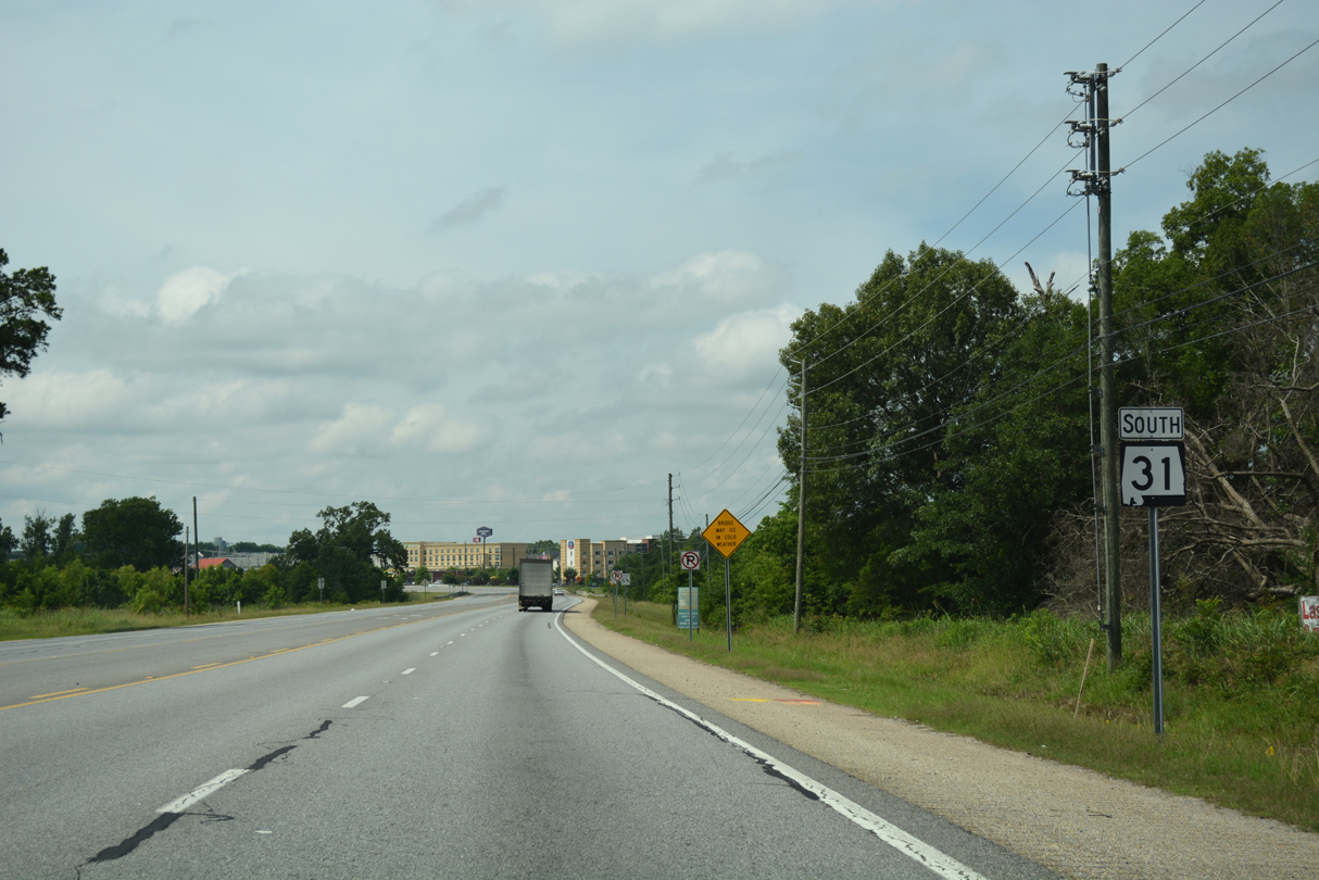
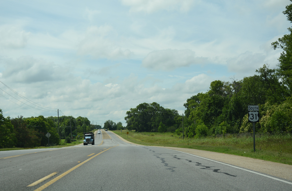
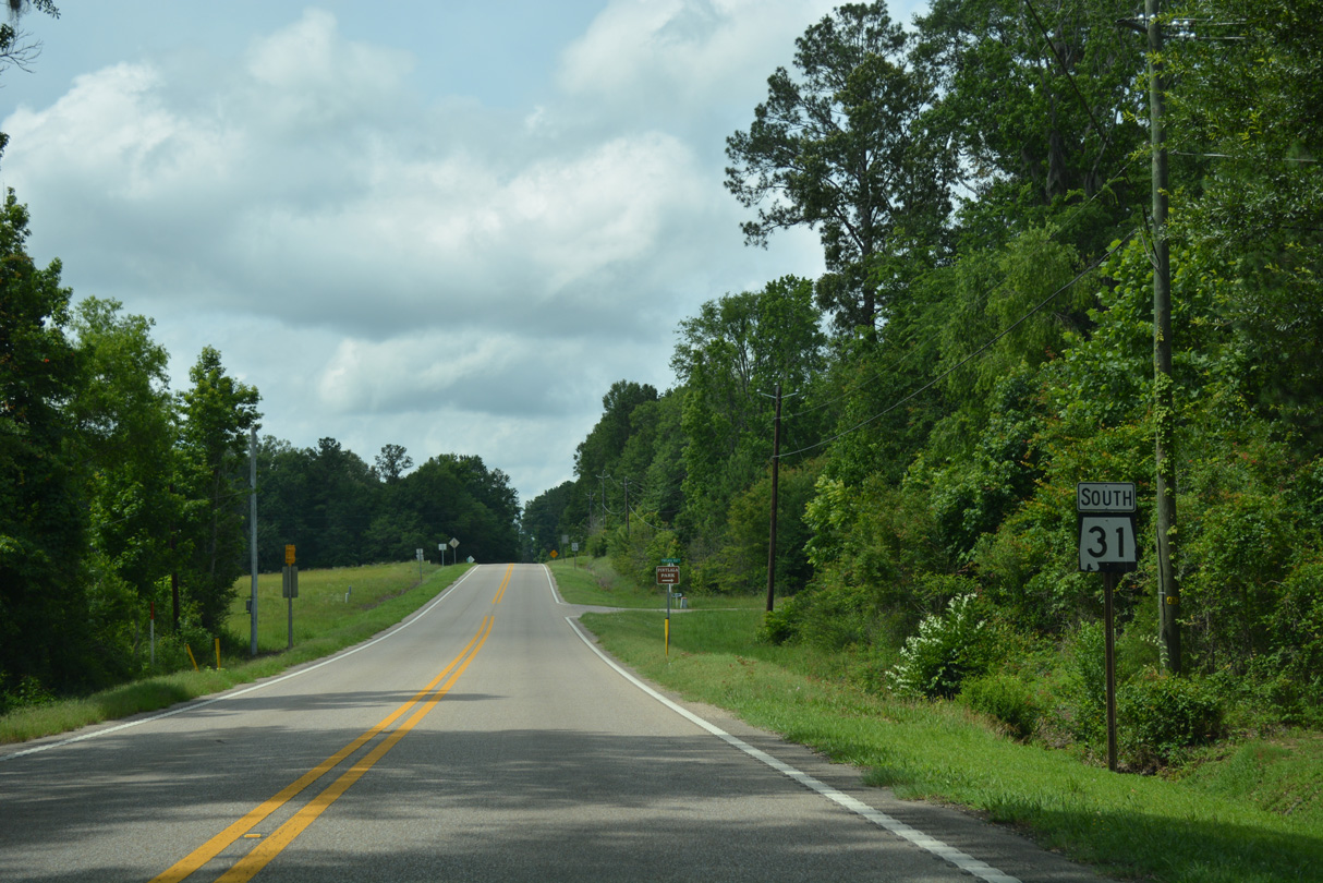
| U.S. 31 incorrectly signed as SR 31 south between CR 24 and Pintlala Old Road at Pintlala Park. 06/07/17 |
|
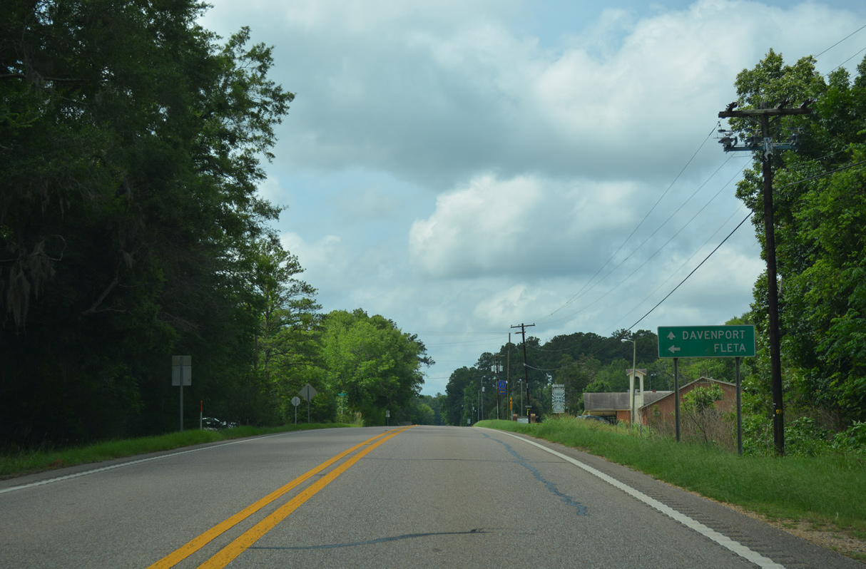
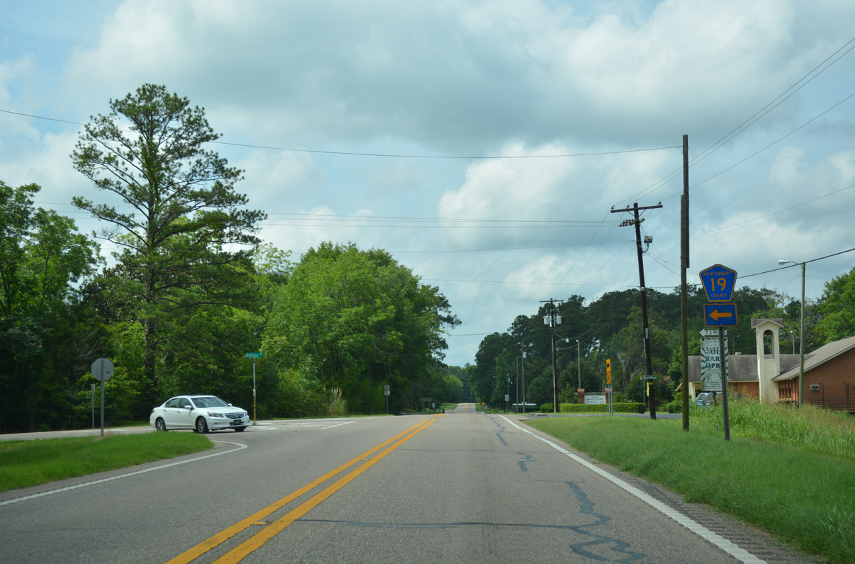
| Pintlala Old Road returns to U.S. 31 just ahead of mile marker 166 for SR 3 and CR 19 (Pettus Road). 06/07/17 |
|
| CR 19 (Pettus Road) arcs 3.9 miles southeast to CR 14 (Union Academy Ada Road) at the community of Fleta. 06/07/17 |
|
| CR 19 extends south to Mt. Carmel and into Crenshaw County to SR 97 (Davenport Highway). 06/07/17 |
Page Updated 08-16-2022.

 South
South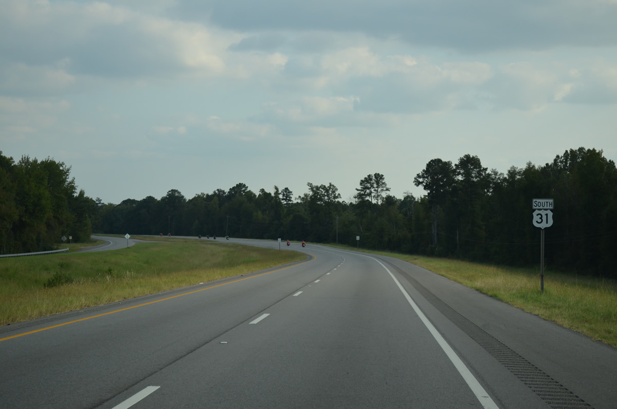
 South
South