|
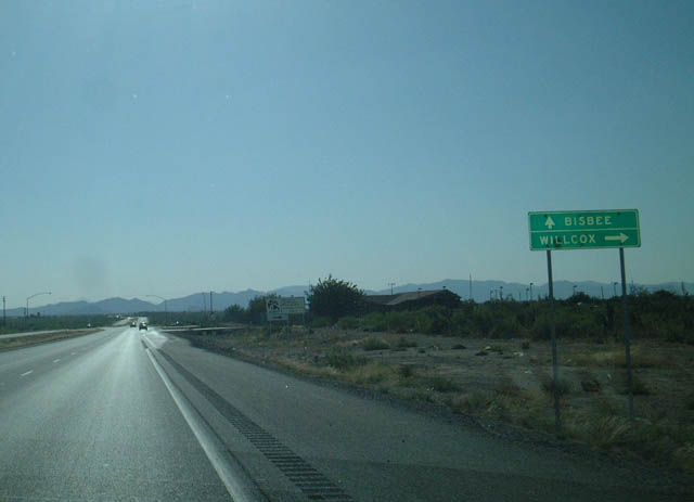
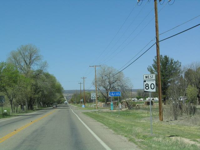
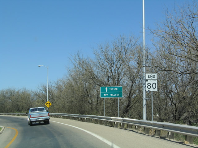
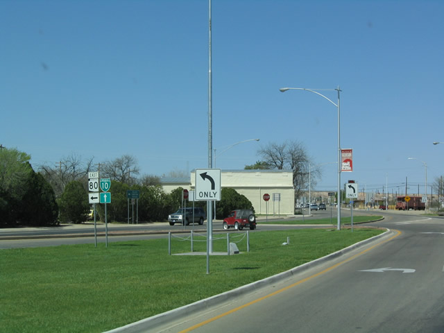
| Westbound SR 80 approaching U.S. 191. U.S. 191 leads north to Wilcox, while SR 80 continues west to Bisbee. 05/24/03 |
|
| Westbound SR 80 at Junction Northbound U.S. 191. U.S. 191 is a major
north-south corridor through the Rocky Mountain states. Connecting Arizona
with Utah, Wyoming, and Montana, U.S. 191 passes through some of the most
scenic desert environs in the West, including Petrified Forest National
Park, Monument Valley, Arches National Park, Flaming Gorge National Recreation
Area, and Yellowstone National Park. 05/24/03 |
|
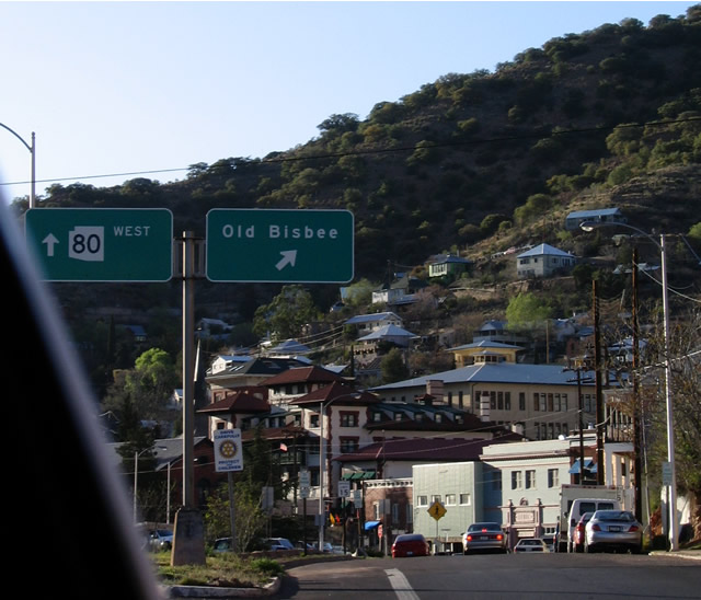
| Westbound SR 80 at the turn-off for old U.S. 80 into historic Downtown Bisbee. 03/28/04 |
|
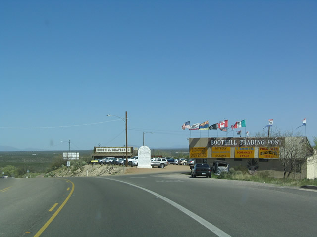
| Now northwest of Bisbee, SR 80 passes through historic Tombstone.
The Boothill Trading Post is the last attraction as SR 80 leaves Tombstone.
Notably, the construction of SR 80 resulted in the relocation of the
famous Boot Hill cemetery to a nearby location behind this trading post. 03/28/04 |
|
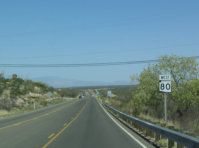
| This is the first reassurance marker along westbound SR 80 as it
leaves Tombstone. 03/28/04 |
|
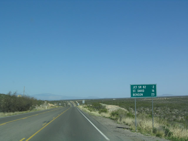
| Distance sign along westbound SR 80 for the distance to the junction with SR 82, St. David, and Benson. 03/28/04 |
|
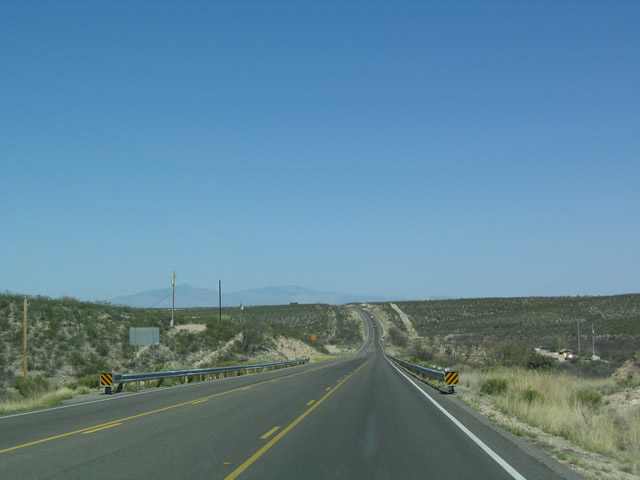
| View of westbound SR 80 as it departs the city of Tombstone. 03/28/04 |
|
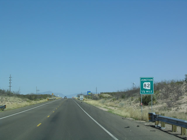
| The first major intersection along SR 80 after leaving historic
Tombstone is with SR 82, an route that heads southwest toward Nogales
and the international border with Mexico. 03/28/04 |
|
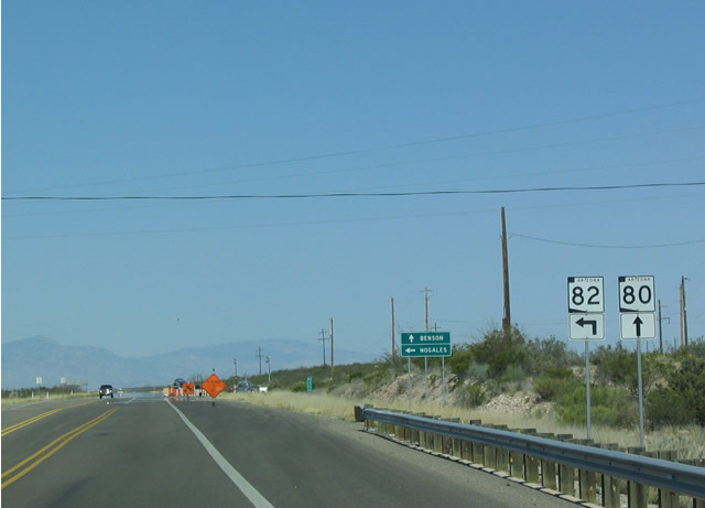
| These shields for SR 80 and SR 82 are posted about a quarter
mile south of the intersection between the two routes. A scenic route,
SR 82 passes through the Coronado National Forest. 03/28/04 |
|
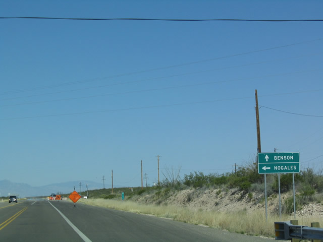
| To reach Sonoita, Patagonia, and Nogales, use SR 82. To reach Benson
and Tucson, continue straight ahead on westbound SR 80. 03/28/04 |
|
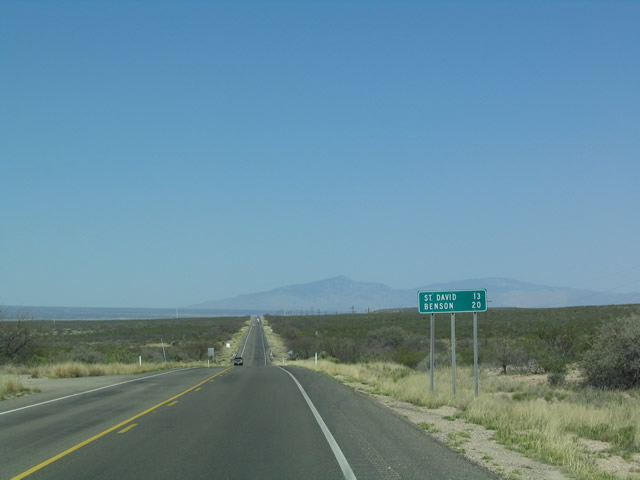
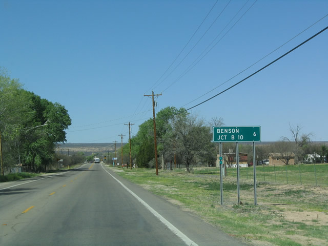
| Distance sign along westbound for the next two towns after the junction with SR 82: St. David (13 miles) and Benson (20 miles). Benson is the junction with Interstate 10. 03/28/04 |
|
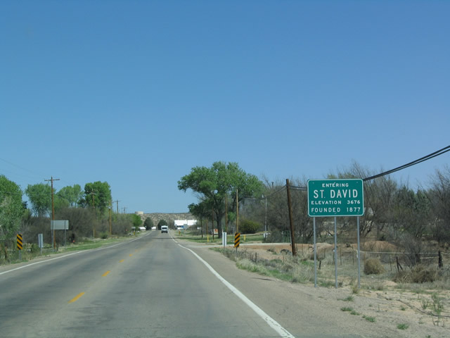
| The next town along westbound SR 80 is St. David, which was founded
in 1877 and is home to the Holy
Trinity Monastery to the west of the highway just south of downtown.
The Shrine of the True Cross is visible from the highway. 03/28/04 |
|
| The Arizona Department of Transportation has a maintenance facility in
St. David as evidenced by this sign. 03/28/04 |
|
| Westbound SR 80 reassurance shield after leaving St. David. 03/28/04 |
|
| Distance sign along westbound SR 80 as it leaves St. David. The only remaining control point is the interchange with Business Loop I-10 and downtown Benson, which is six miles north of here. 03/28/04 |
|
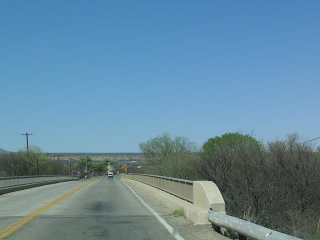
| Between St. David and Benson, SR 80 passes over the San Pedro River
on this older bridge. 03/28/04 |
|
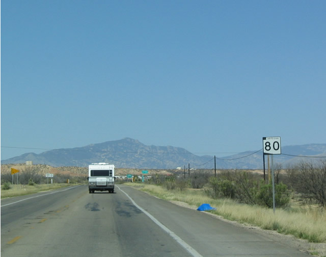
| This SR 80 shield is located along westbound as the highway approaches
the city limits of Benson. 03/28/04 |
|
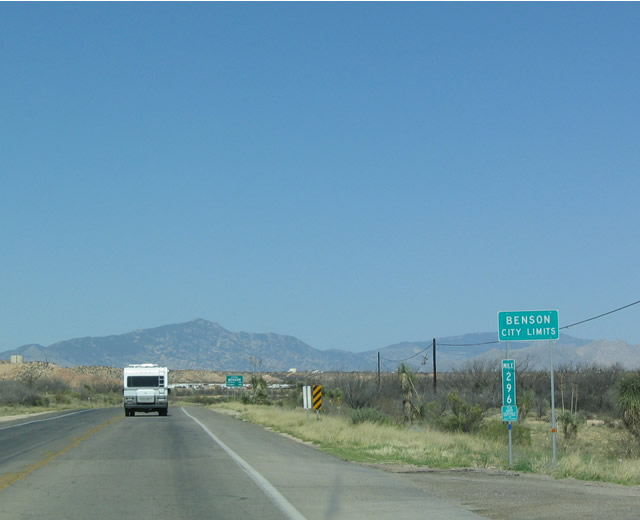
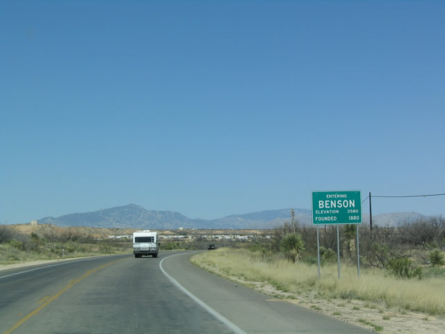
| SR 80 finally enters the city of Benson,
home to 4,711 people as of 2000. 03/28/04 |
|
| Benson is a relatively old community, having been incorporated since
1880. 03/28/04 |
|
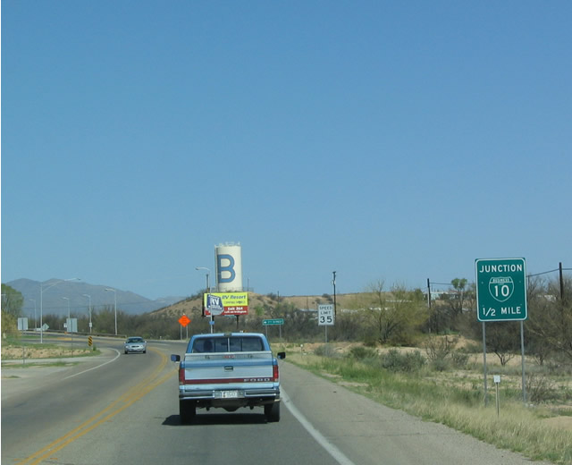
| Junction Business Loop I-10 one half mile sign along westbound Arizona
80 in Benson. 03/28/04 |
|
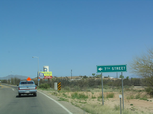
| Westbound SR 80 at Seventh Street, just prior to the Business Loop
I-10 interchange. 03/28/04 |
|
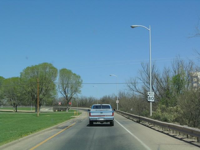
| This is the final reassurance shield along westbound SR 80. An end
shield follows after the highway passes over Business Loop I-10. 03/28/04 |
|
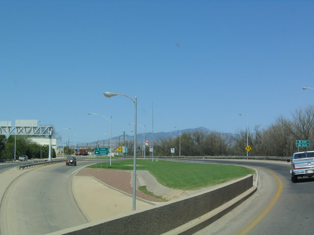
| View of the interchange with Business Loop I-10 east of downtown Benson
as seen from the transition ramp from westbound SR 80 onto westbound
Business Loop I-10. This is the original interchange between U.S. 80 and
SR 86 prior to the completion of Interstate 10. 03/28/04 |
|
| End SR 80 shield as the highway approaches the interchange with
Business Loop I-10. 03/28/04 |
|
| The transition ramp from SR 80 merges onto the business loop. Note
that a left turn is required for traffic turning from westbound Business
Loop I-10 onto eastbound SR 80. 03/28/04 |
|
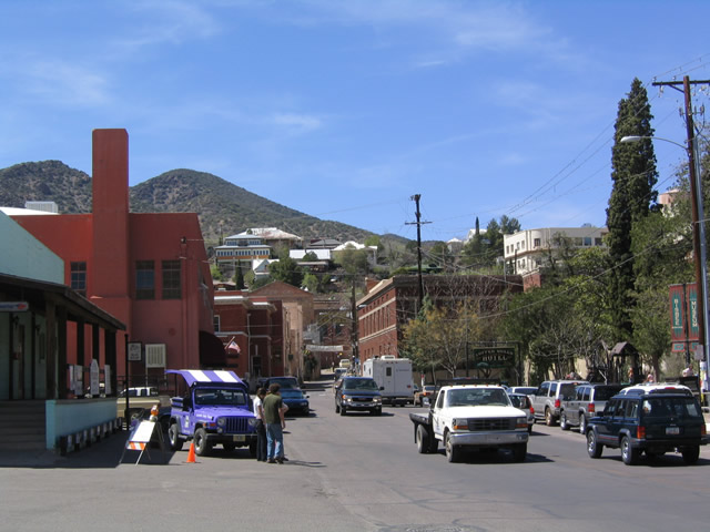
| Unlike the current SR 80 bypass, old U.S. 80 passed through the
city of Bisbee, the Queen of
Copper Camps. The site was founded in 1877 at the base of Mule Pass when
a group of cavalrymen and army soldiers realized the potential mining value
of the copper, silver, and lead in the vicinity. By 1902, the city of Bisbee
was incorporated, and by 1910, 25,000 people lived in Bisbee, making it
among the most populous areas in Arizona territory. 03/26/04 |
|
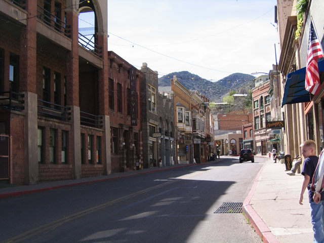
| View of the shops lining Bisbee as seen along the historic route (headed
westbound). Note that no parking is allowed on this stretch due to the
narrowness of the street, so it is best to park at the south end of Old
Bisbee and walk from there. 03/26/04 |
|
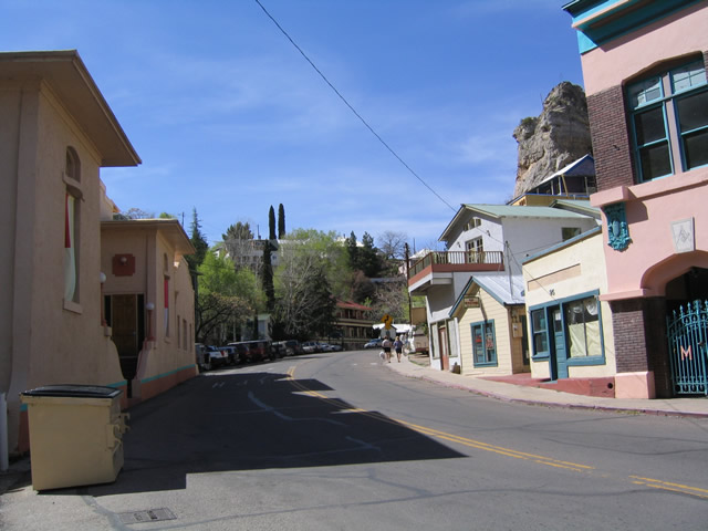
| Houses and apartments come very close to the roadway, with little or
no provision for sidewalks in some areas. 03/26/04 |
|
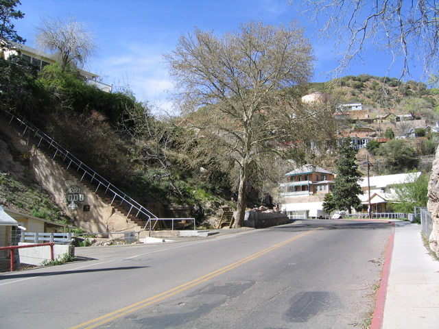
| These stairs are locally famous for an annual stair climbing event, and
they are among several that enable connections throughout Old Bisbee. 03/26/04 |
|
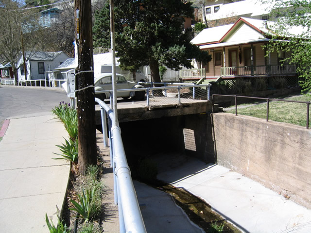
| The old road was built over a natural drainage pattern, so the waterway
was redirected under the street as seen by this culvert. 03/26/04 |
|
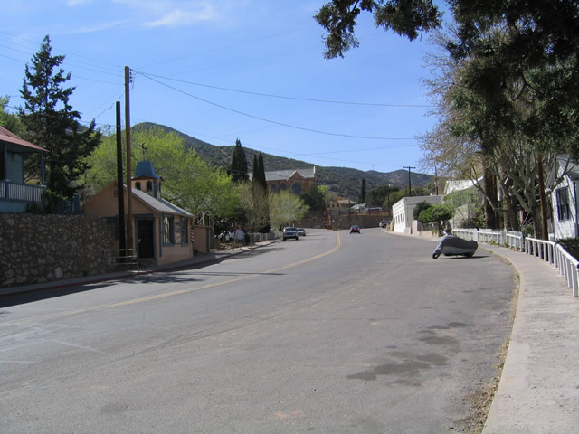
| As old U.S. 80 leaves the downtown area of Old Bisbee, the road widens
out substantially. 03/26/04 |
|
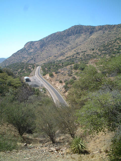
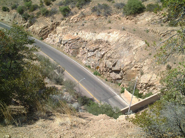
| View of SR 80 heading west away from the Mule Pass Tunnel as seen
from the top of Bisbee Pass along the original route of U.S. 80. 05/24/03 |
|
| Even the entrance to the Mule Pass Tunnel can be seen from the top of Bisbee Pass, as seen in this photo. SR 80 westbound winds off into the distance. The Mule Pass Tunnel was the longest in Arizona until construction of the tunnel in Phoenix on Interstate 10 through downtown. 05/24/03 |
|
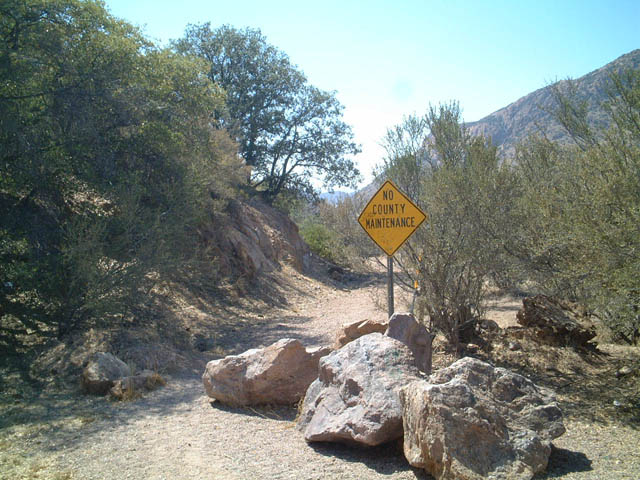
| At the top of Bisbee Pass, above the modern day tunnel that carries Arizona
80 underneath Bisbee Pass, is this old road. This is the original alignment
of U.S. 80 over Mule Pass, bypassed in 1956. 05/24/03 |
Page Updated 08-23-2009.