SR 85 is a major highway connecting Buckeye to the Mexican Border at Lukeville, via Gila Bend and Ajo. The state route is the only access from Phoenix and Tucson to Puerto Penasco, known as Rocky Point, a favorite beach getaway of Phoenix residents.
The original highway was designated in 1936 between Gila Bend and Ajo. In 1956, the road was extended south to Lukeville along a county road (which was constructed in 1942).
In 1977, SR 85 was extended north from Gila Bend to Buckeye and downtown Phoenix to replace U.S. 80, which was decommissioned. The route was truncated back to Buckeye in 1993 with the completion of Interstate 10 through Phoenix.
State Route 85 is a major truck route and part of the CANAMEX corridor, as well as a designated truck bypass of Phoenix. The road is extremely busy, and much of it remained in two lane configuration (as built in 1956 as U.S. 80) until more recently. MCDOT and ADOT are working on projects to improve the road by converting it to a full freeway over the next 10 years.1
|
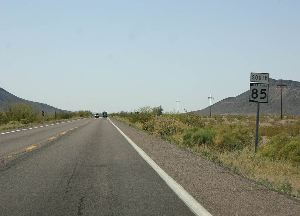
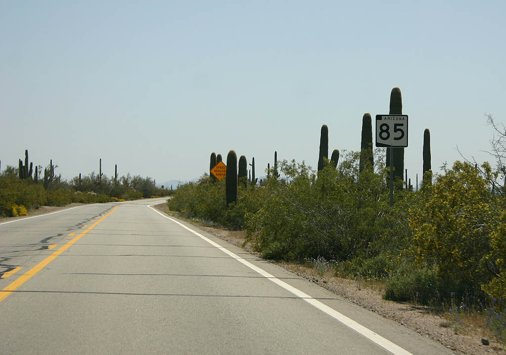
| This is the first reassurance marker on Northbound Arizona
85, just north of the Mexican Border at Lukeville. 03/28/08 |
|
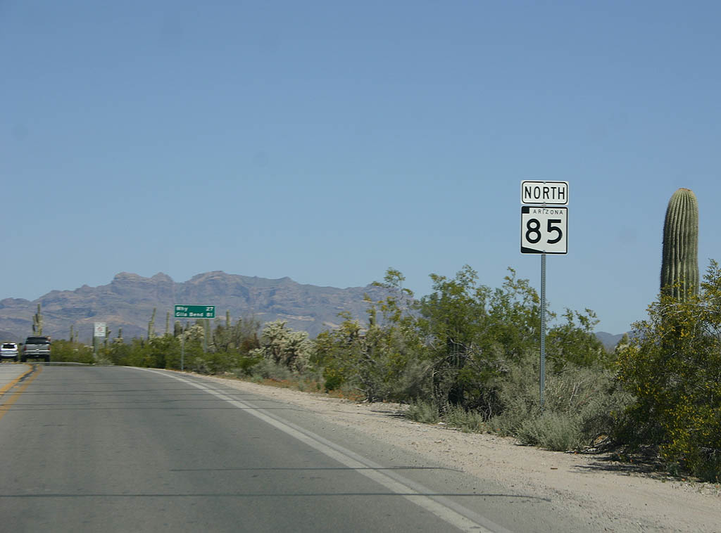
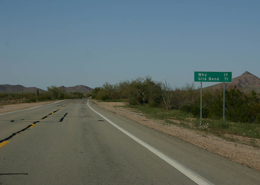
| Distance sign to Why and Gila Bend. Why and Gila Bend
are the first two major road junctions along SR 85. 03/28/08 |
|
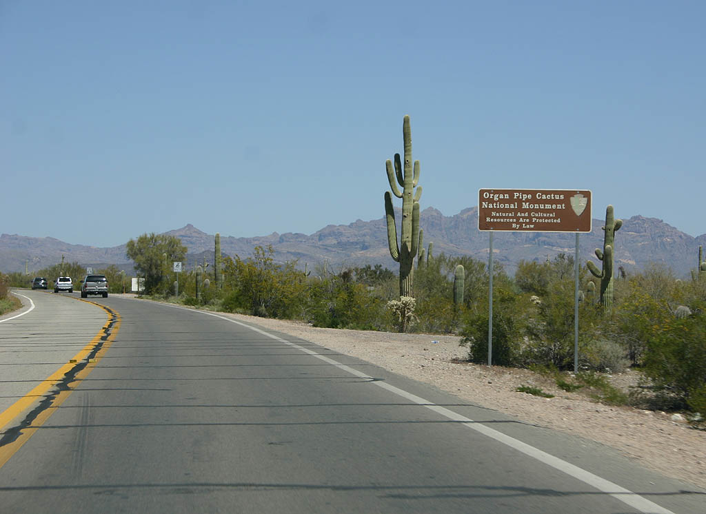
| Immediately after leaving Lukeville, SR 85 enters Organ Pipe Cactus National Monument. The monument preserves the only natural habitat of the Organ Pipe Cactus in the United States. 03/28/08 |
|
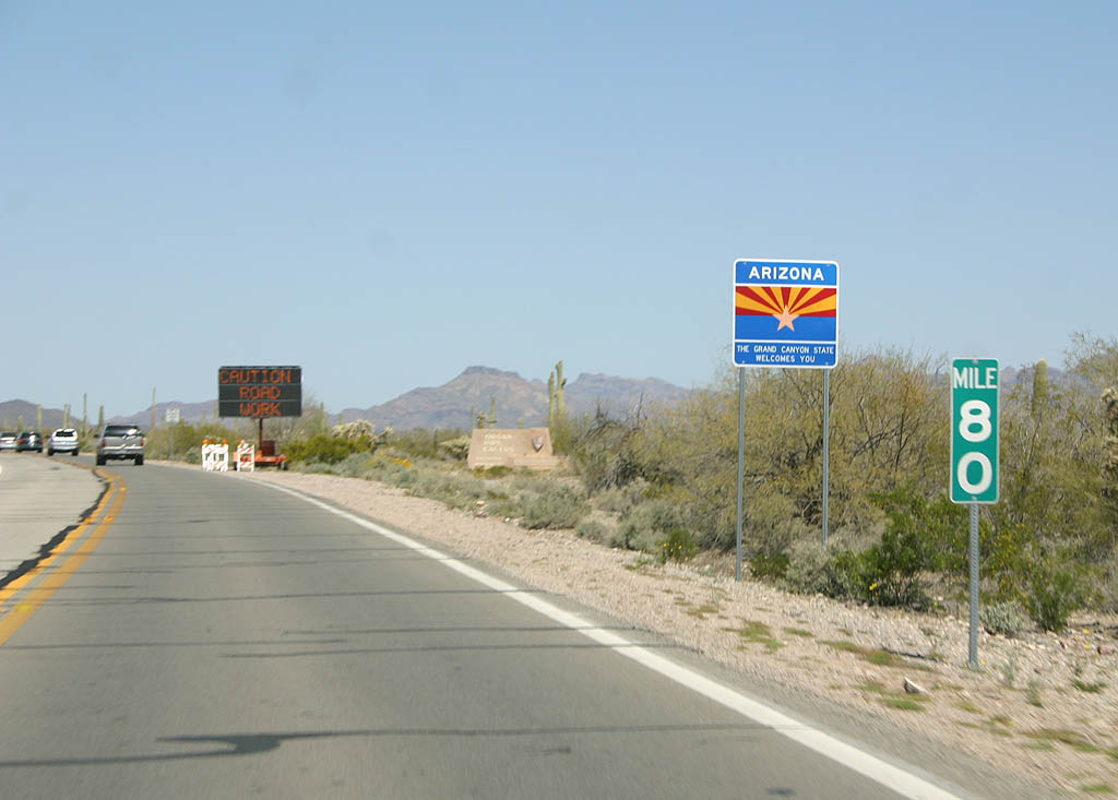
| In the series of signs, the next is the official Arizona
welcome sign. This is the smaller version of the sign. 03/28/08 |
|
| The National Park Service has also placed a decorative
sign for the monument. 03/28/08 |
|
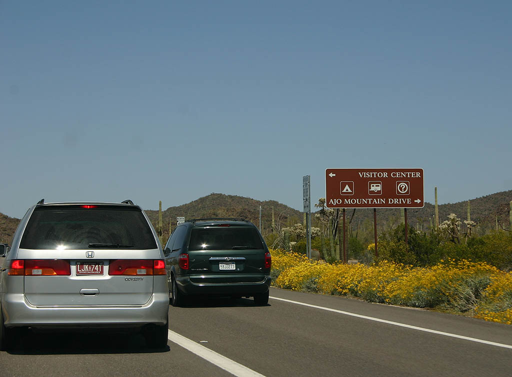
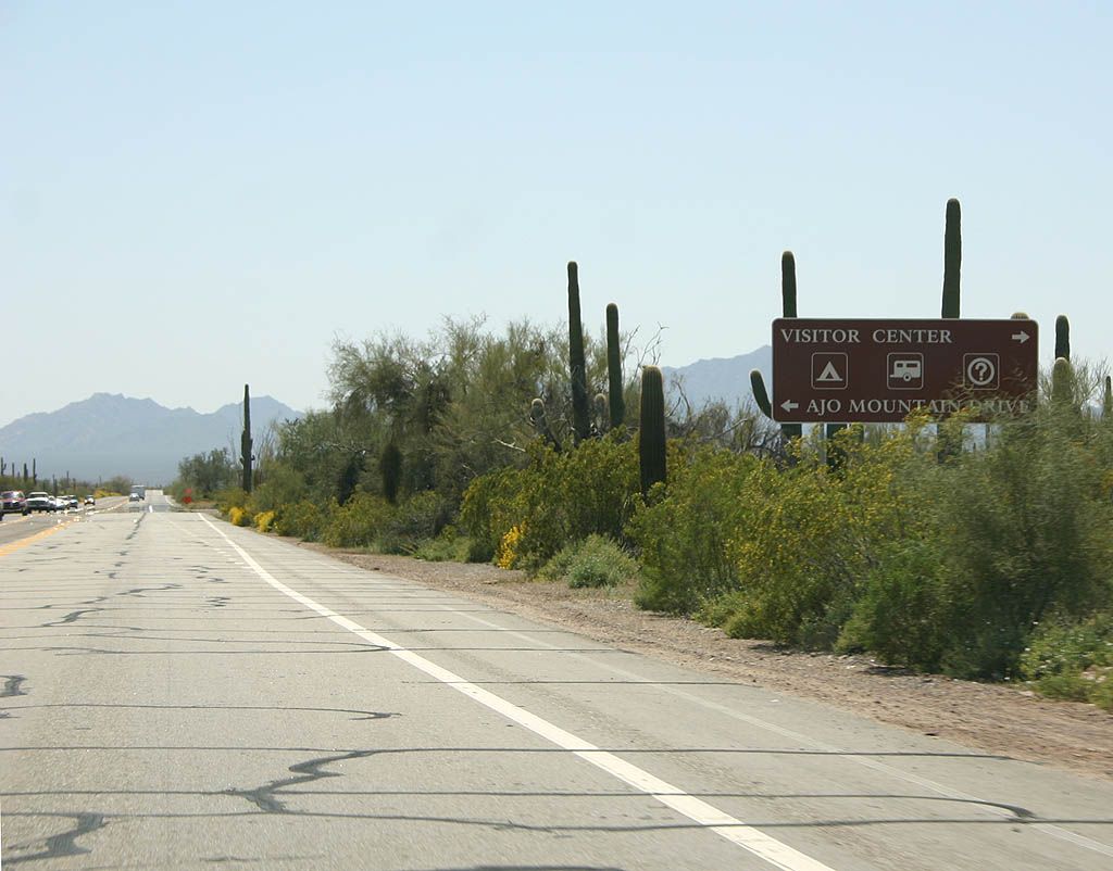
| Turn left to reach the visitor center, or turn right
to follow the 21 mile dirt Ajo Mountain Road. 03/28/08 |
|
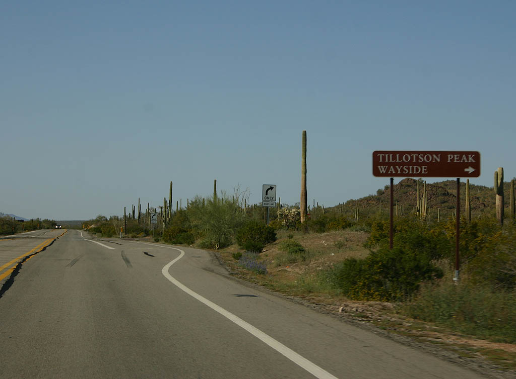
| Turn right for the Tillotson Peak Wayside. There are
two waysides located within the monument along Arizona
85. 03/28/08 |
|
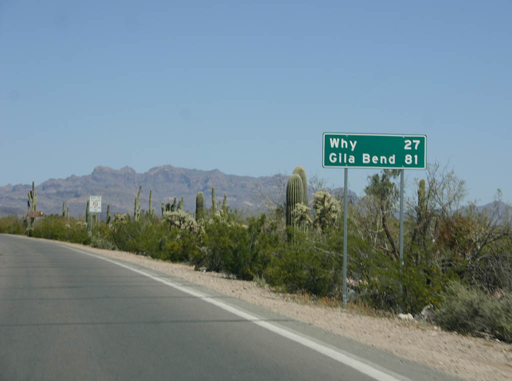
| Distance sign to Why and Gila Bend. SR 85 between
Mexico and Why is a former county road, constructed in
1942 and added to the state highway system in 1956. 03/28/08 |
|
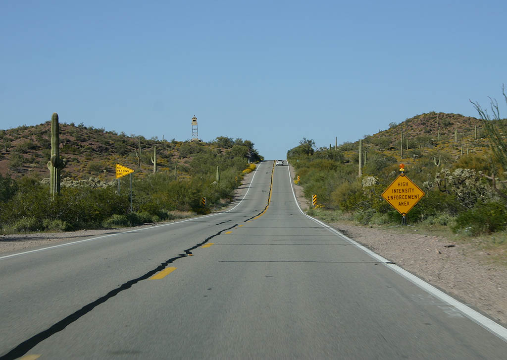
| The border patrol has stepped up enforcement along the
SR 85 corridor due to immigration issues. This sign
warns of a high intensity enforcement zone. 03/28/08 |
|
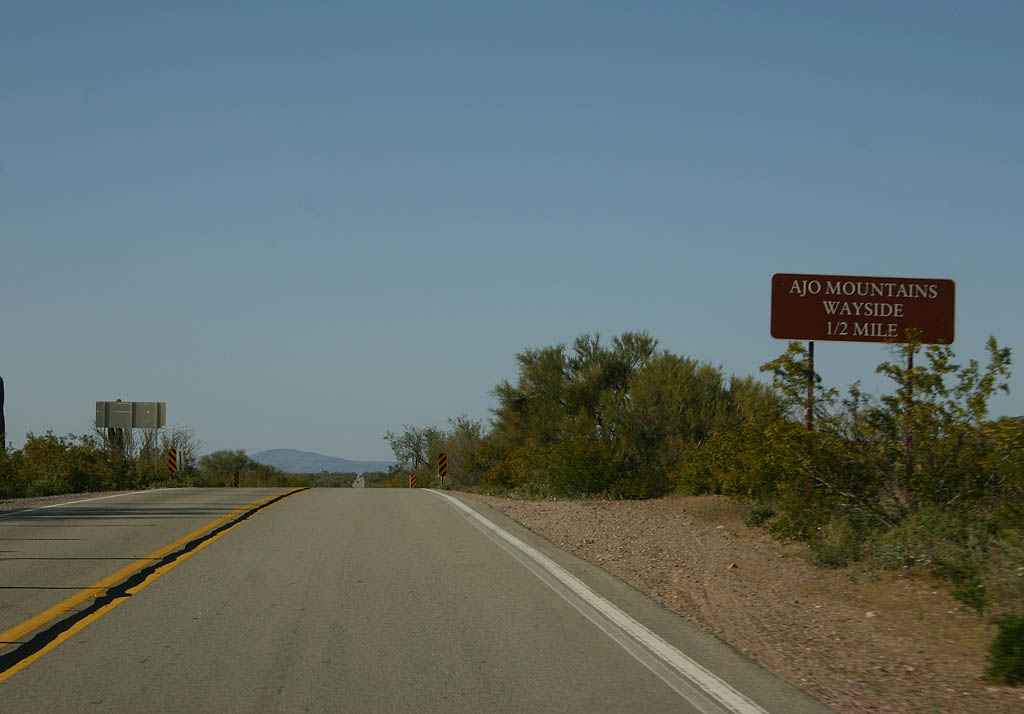
| Turn right for the Ajo Mountain Wayside here. 03/28/08 |
|
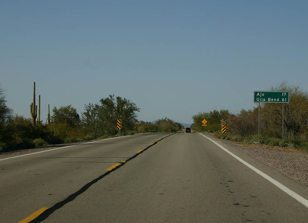
| Distance sign to Ajo (17 miles) and Gila Bend (61 miles). 03/28/08 |
|
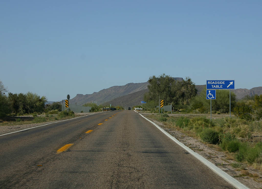
| Turn right here for a roadside table. 03/28/08 |
|
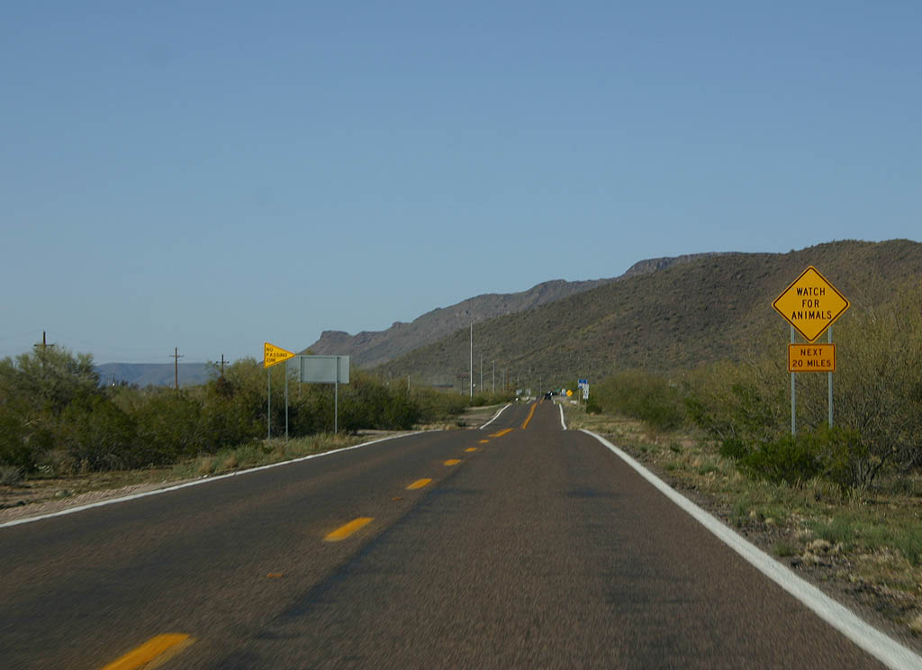
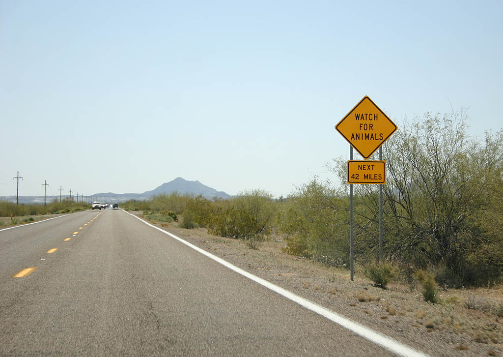
| Watch for animals for the next 20 miles, until past
Ajo. 03/28/08 |
|
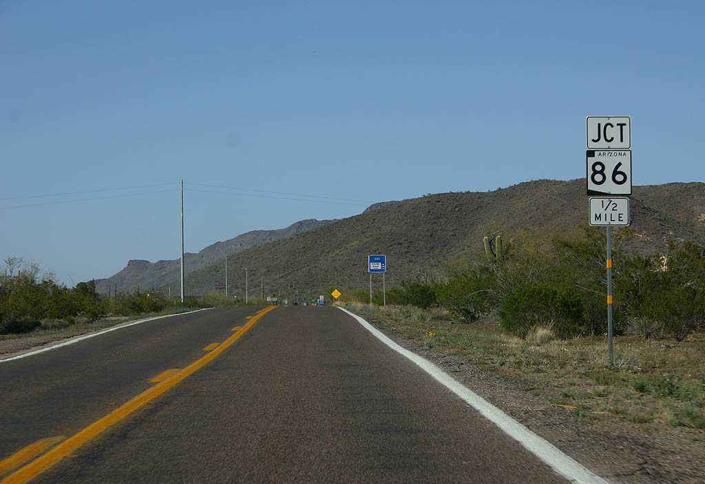
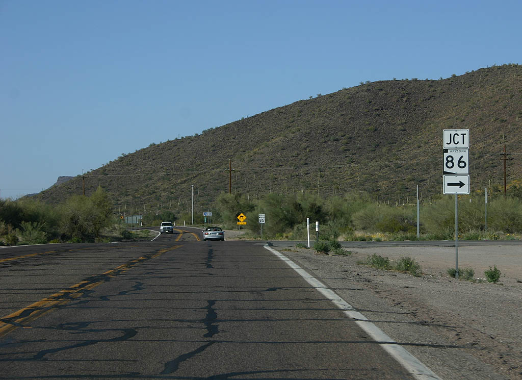
| Advance signage for SR 86, 1/2 mile. 03/28/08 |
|
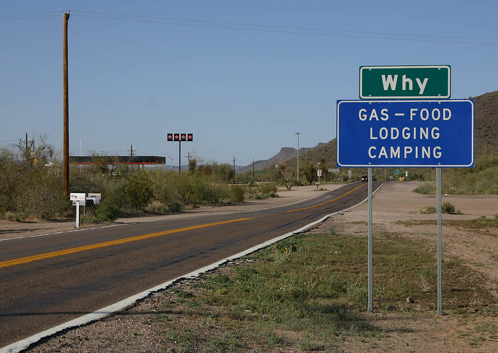
| SR 85 enters the town of Why here. Why was named
for the old Y junction of SR 85 and SR 86, formed
when SR 85 was extended to Mexico in 1956. The road
junction, however, has been changed to a T-configuration
by ADOT. 03/28/08 |
|
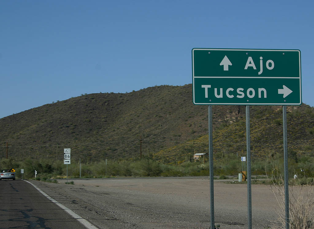
| Turn right to reach Tucson, or continue ahead to Ajo. 03/28/08 |
|
| Turn right for SR 86. 03/28/08 |
|
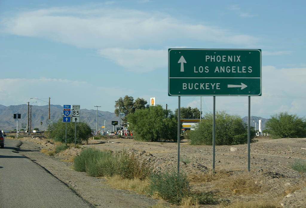
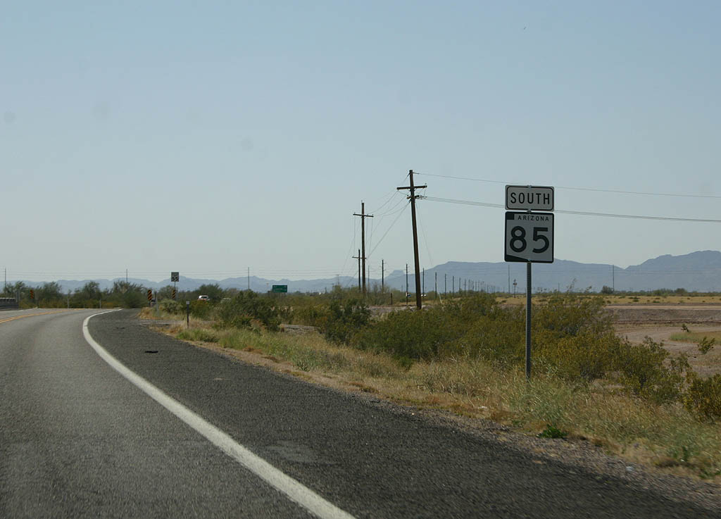
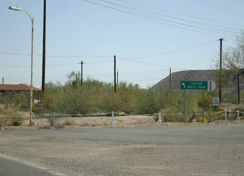
| Jumping north to Buckeye, SR 85 meets Maricopa
County 85 here. Turn right for Buckeye, or continue ahead
to Interstate 10. 03/28/08 |
|
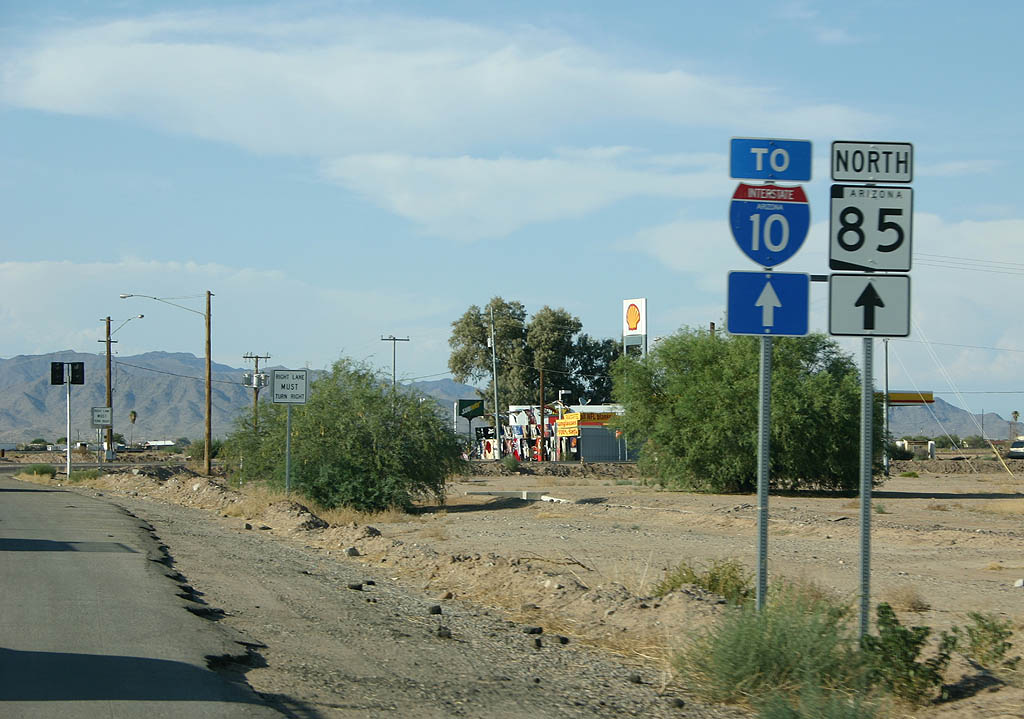
| This sign marks where SR 85 used to turn right
to continue to Phoenix along the route of current Maricopa
County Route 85. 03/28/08 |
|
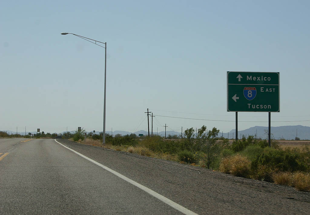
| SR 85 passes under the twin bridges of Interstate
8 here. 03/28/08 |
|
| Turn left to enter Interstate 8 eastbound. There is
no direct access from SR 85 to Interstate 8 westbound,
as that connection is handled by Business 8 (former U.S.
80). 03/28/08 |
|
| SR 85 is well-signed heading south of Interstate
8 towards Ajo. 03/28/08 |
|
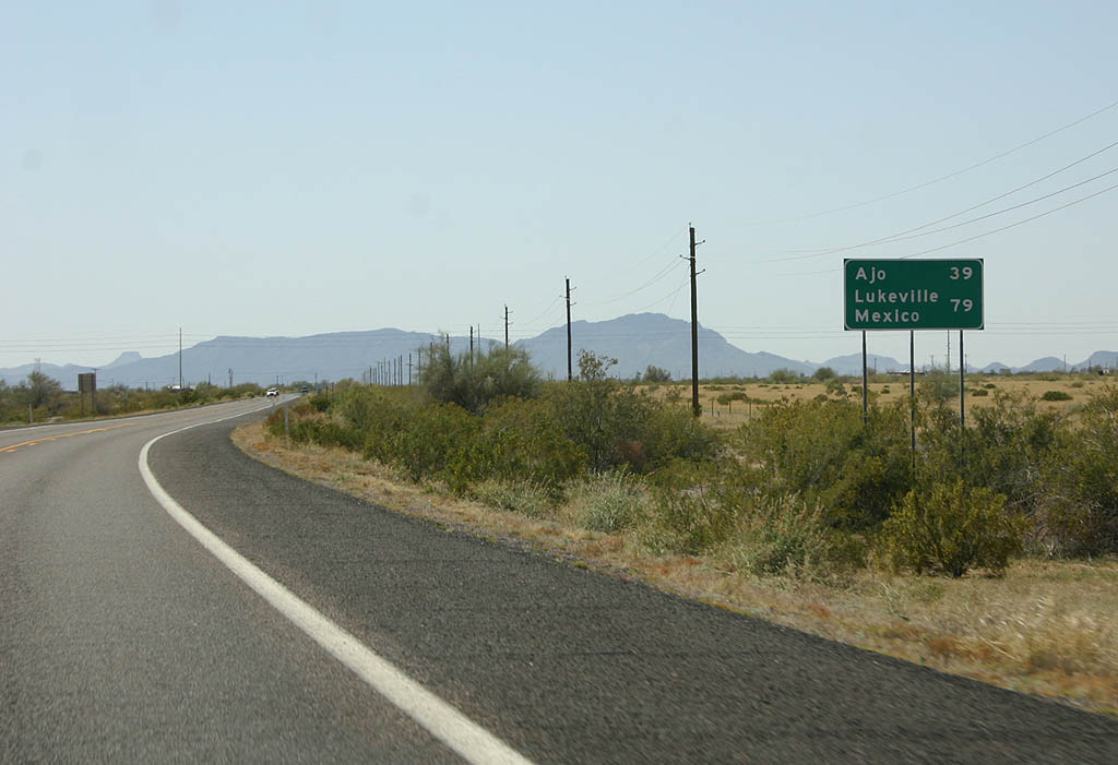
| Distance sign to Ajo (39 miles) and Lukeville (79 miles). 03/28/08 |
|
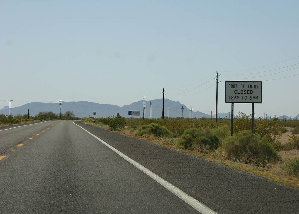
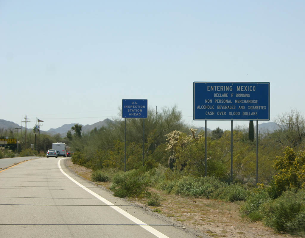
| The Lukeville border crossing is not a 24 hour crossing
- it is closed between Midnight and 6 AM. This sign warns
travellers of the nightly closure. 03/28/08 |
|
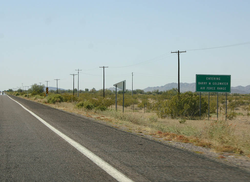
| SR 85 passes through the Barry Goldwater Air Force
range. Travellers are warned not to leave the highway
while passing through the Air Force Gunnery range. 03/28/08 |
|
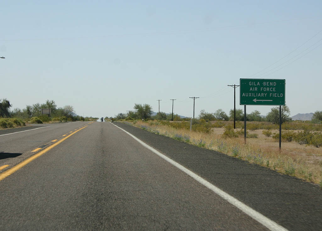
| Turn left for the Gila Bend Auxiliary Air Force landing
field. 03/28/08 |
|
| Reassurance marker for SR 85. In the background
are the White Hills and Sauceda Mountains. 03/28/08 |
|
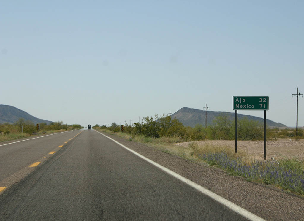
| Distance sign to Ajo and Mexico. 03/28/08 |
|
| SR 85 is gradually increasing in elevation as it
climbs away from the Gila River valley at Gila Bend. 03/28/08 |
|
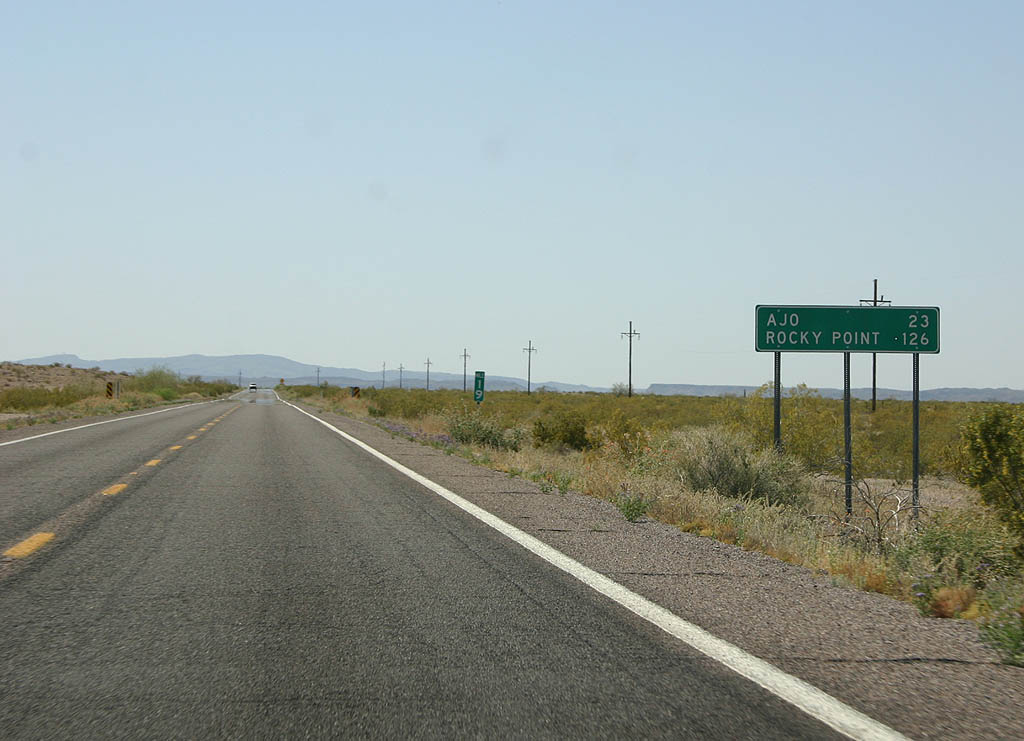
| Distance sign to Ajo (23 miles) and Rocky Point (Puerto
Penasco, Mexico, 126 miles). 03/28/08 |
|
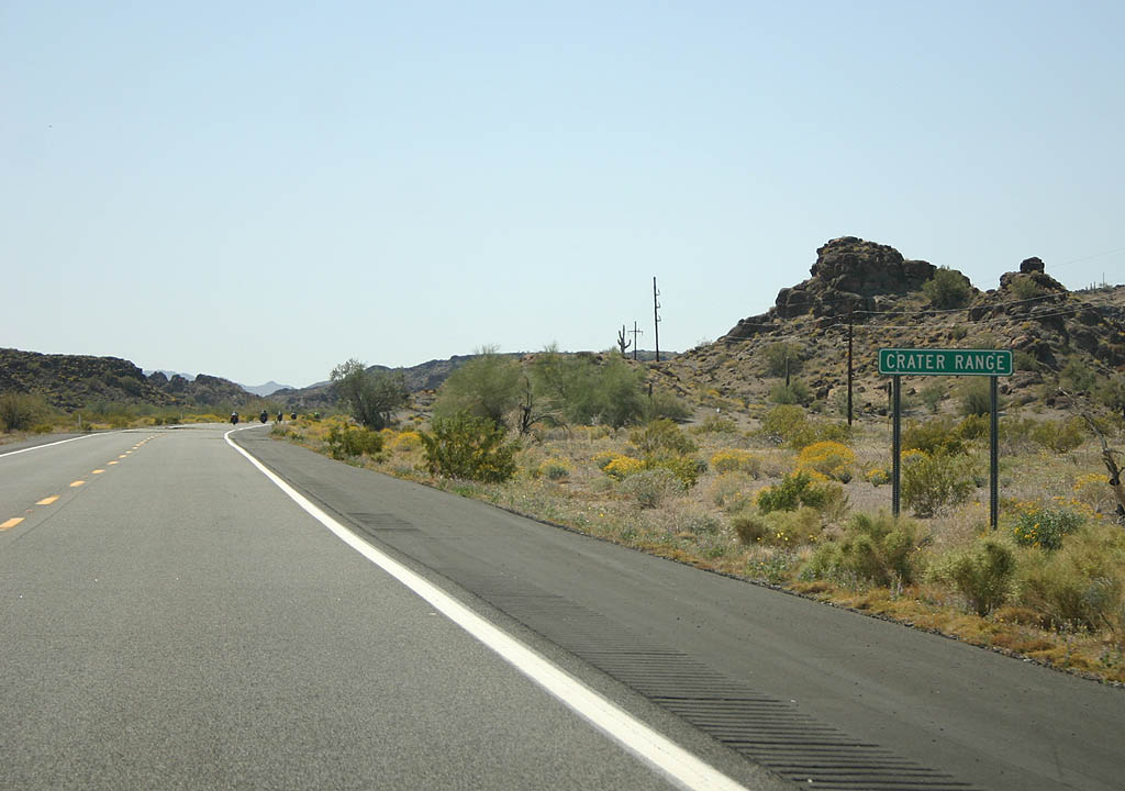
| The Crater Range is a low mountain range just north
of Ajo. 03/28/08 |
|
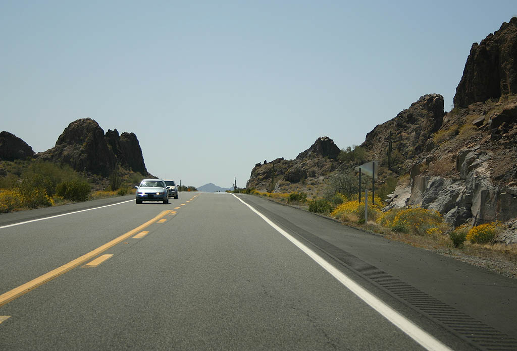
| SR 85 passes through a low gap in the Crater Range. 03/28/08 |
|
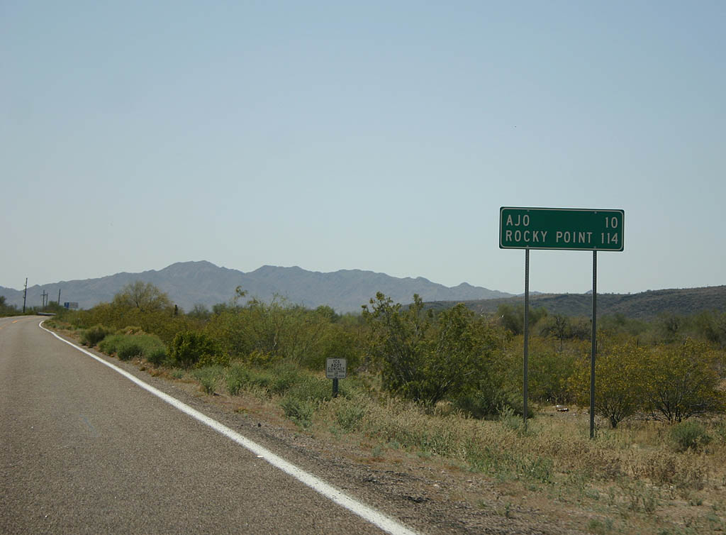
| Distance sign to Ajo (10 miles) and Rocky Point (Puerto
Penasco, Mexico, 114 miles). 03/28/08 |
|
| Drivers need to be cautious for animals for the remaining
distance to Mexico. 03/28/08 |
|
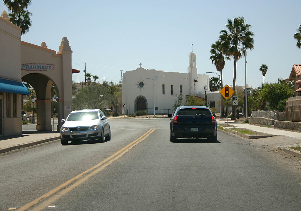
| SR 85 enters the town of Ajo here. Ajo is named
after the Ajo lily, native to this area. The name is also
Spanish for Garlic, but no garlic plants grow in this
area. 03/28/08 |
|
| The north half of Ajo is the former town of Gibson,
now incorporated into Ajo. Ajo is the home of the Ajo
mine, worked intermittently since 1855 and inactive since
1985. 03/28/08 |
|
| SR 85 winds through Ajo to follow the
street grids. When Phelps Dodge closed the mine, most non-mining properties were sold to local residents. 03/28/08 |
|
| Traffic heading to Tucson and Rocky Point needs to turn
left to stay on SR 85. 03/28/08 |
|
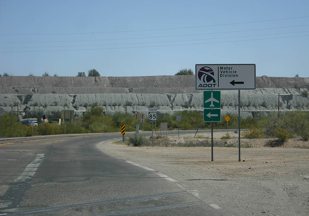
| SR 85 has a final turn to leave Ajo. Turn left
to reach the Motor Vehicle Division and Ajo airport. 03/28/08 |
|
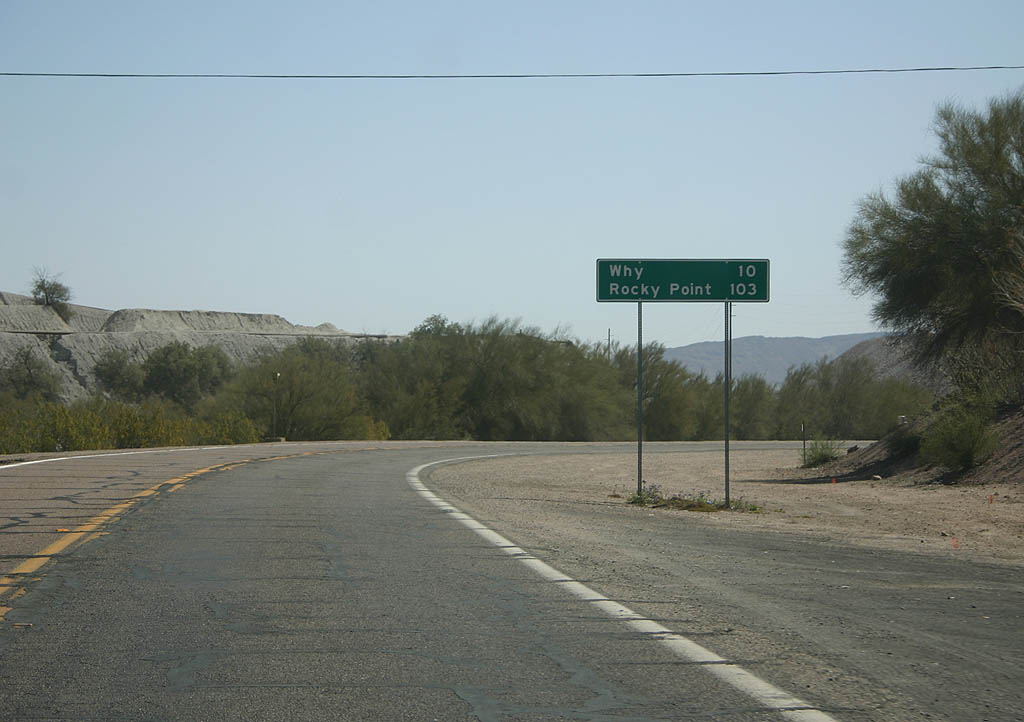
| Distance sign to Why (10 miles) and Rocky Point (Puerto
Penasco, Mexico, 103 miles). 03/28/08 |
|
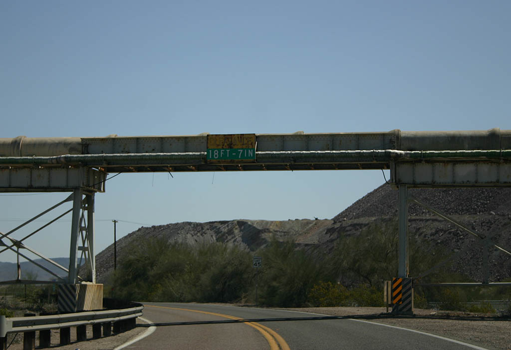
| This sluiceway is part of the Ajo mine works, and carries
product above the road. The mine has not been operational
since 1985, but Freeport McMoran has looked at reopening
the mine. 03/28/08 |
|
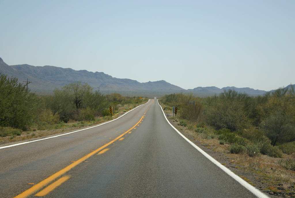
| SR 85 now enters the broad Valley of the Ajo. 03/28/08 |
|
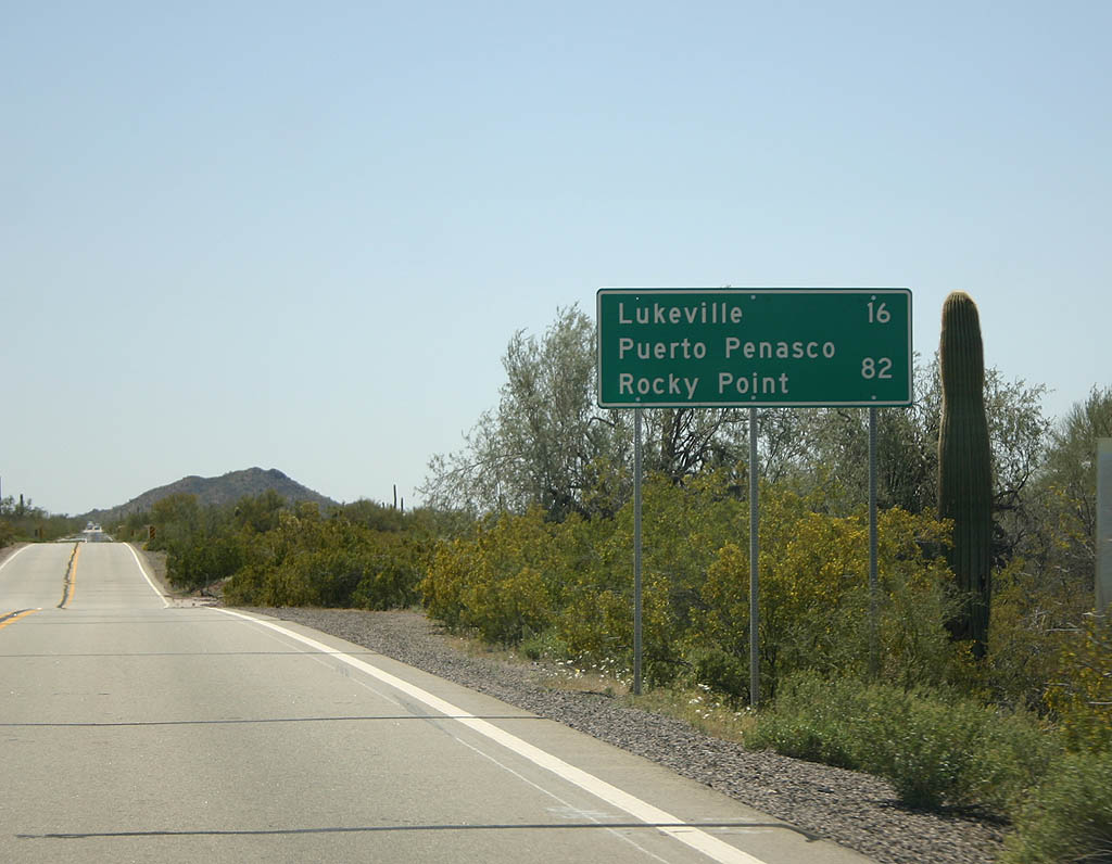
| Distance sign to Lukeville (16 miles) and Puerto Penasco/Rocky
Point (82 miles). 03/28/08 |
|
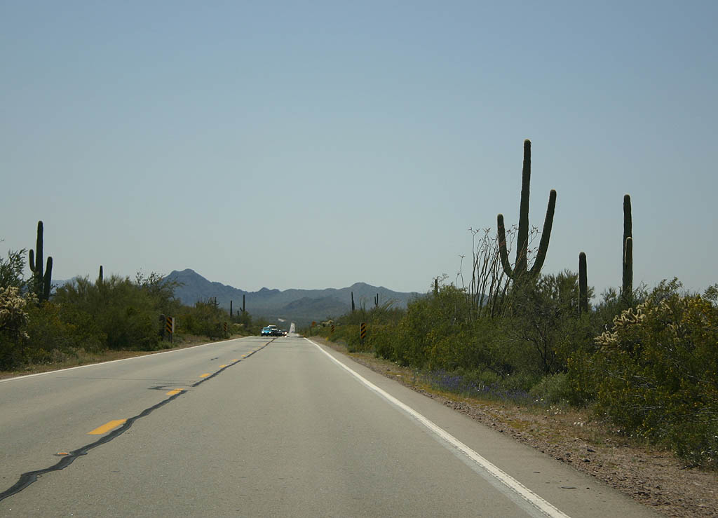
| SR 85 now enters Organ Pipe Cactus National Monument. 03/28/08 |
|
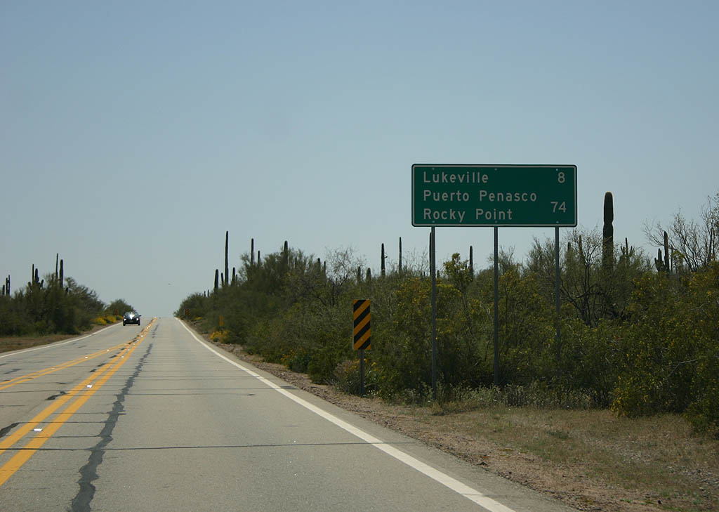
| Distance sign to Lukeville (8 miles) and Puerto Penasco/Rocky
Point (74 miles). 03/28/08 |
|
| The National Monument preserves some dense stands of cactus. 03/28/08 |
|
| The area around Organ Pipe is higher in elevation, supporting
a wider variety of vegetation. 03/28/08 |
|
| Turn right for the visitor center, and turn left to
take the 21 mile dirt Ajo Mountain Road. 03/28/08 |
|
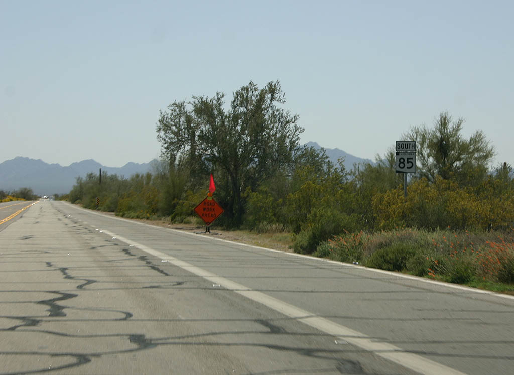
| This is one of the last reassurance markers along southbound
SR 85. 03/28/08 |
|
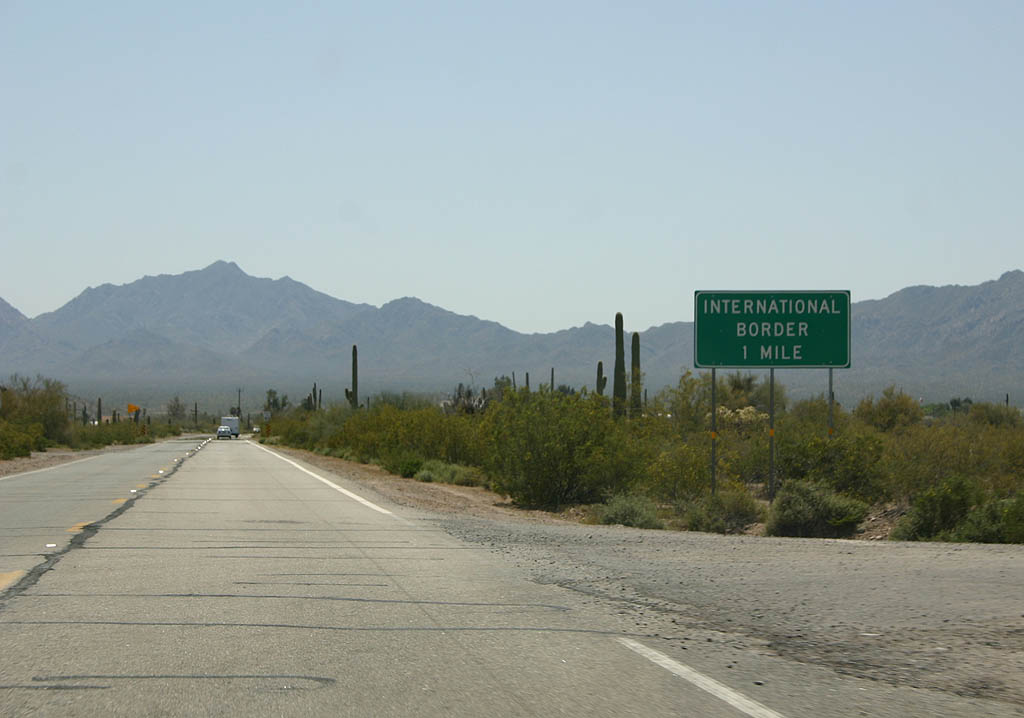
| Advance warning for the International Border, one mile. 03/28/08 |
|
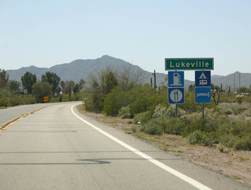
| SR 85 enters Lukeville. Lukeville is a border town,
which basically consists of a gas station. 03/28/08 |
|
| Travellers are warned to declare all items being carried
into Mexico. 03/28/08 |
|
| This sign states the same message as the previous sign,
but in Spanish. 03/28/08 |
|
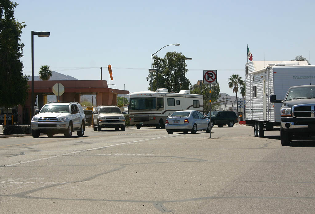
| SR 85 ends here, at the Mexican Border. 03/28/08 |
Sources:
http://www.azdot.gov/Highways /Projects/SR85/index.asp
03/28/08 by Kevin Trinkle
Connect with:
Interstate 8
Interstate 10
Page Updated 10-08-2007.