
California State Route 174 connects Interstate 80 at Colfax with SR 20/49 (Golden Center Freeway) in the city of Grass Valley. Measuring 13.3 miles in length, SR 174 runs north to Shady Glen and the Nevada County line, reaching Chicago Park west of Rollins Reservoir. Following Colfax Highway, the state route turns west ahead of Peardale to Cedar Ridge, Union Hill and Empire Mine State Historic Park.
| SR 174 south |
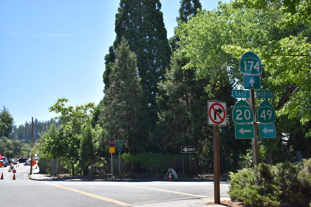
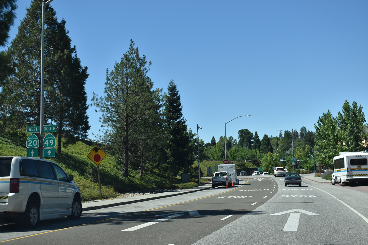   | A split diamond interchange joins SR 20/49 (Golden Center Freeway) with SR 174 in Grass Valley. Tinloy Street connects the freeway westbound with SR 174 east along Colfax Avenue. 07/11/18 |
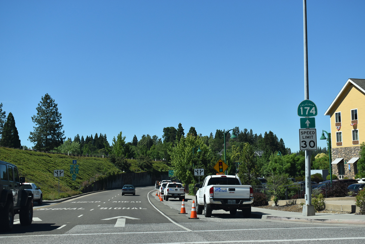
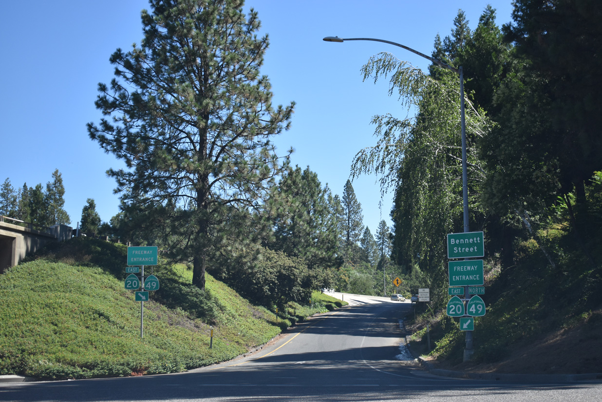
 | SR 174 initially follows Colfax Avenue east from SR 20/49 outside Downtown Grass Valley. The state route climbs onto Ophir Hill to Empire Mine State Historic Park en route to Colfax. 07/11/18 |
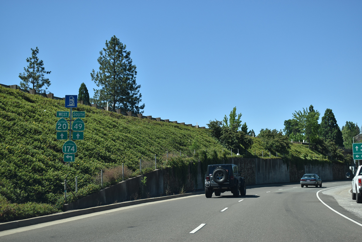
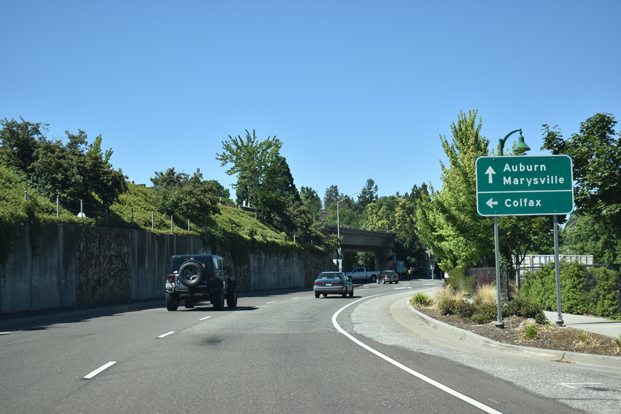
  | Hansen Way joins the eastbound off-ramp from SR 20/49 (Golden Center Freeway) with Colfax Avenue and SR 174 south. Hansen Way leads north to Bank and Bennett Streets and SR 20/49 north to Nevada City. 07/11/18 |
Photo Credits:
07/11/18 by AARoads
Connect with:
Interstate 80
State Route 20
State Route 49 - Mother Lode Highway
Page Updated 03-20-2019.