|
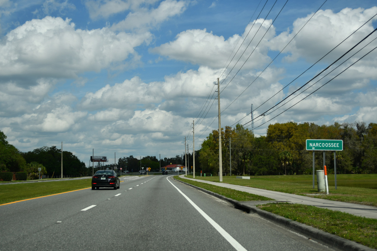
| A confirming marker for CR 15 stands along Narcoosee Road north of the commercialized intersection with U.S. 192/441 (Irlo Bronson Memorial Highway) and Hickory Tree Road. 04/01/14 |
|
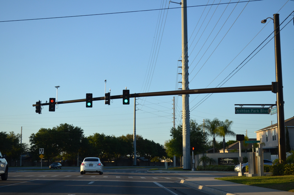
| E 10th Street (unsigned CR 534) east meets CR 15 (Narcoossee Road) opposite Ashton Park Boulevard into the Ashton Park subdivision. 10th Street parallels U.S. 192/441 west to Downtown St. Cloud. 04/01/14 |
|
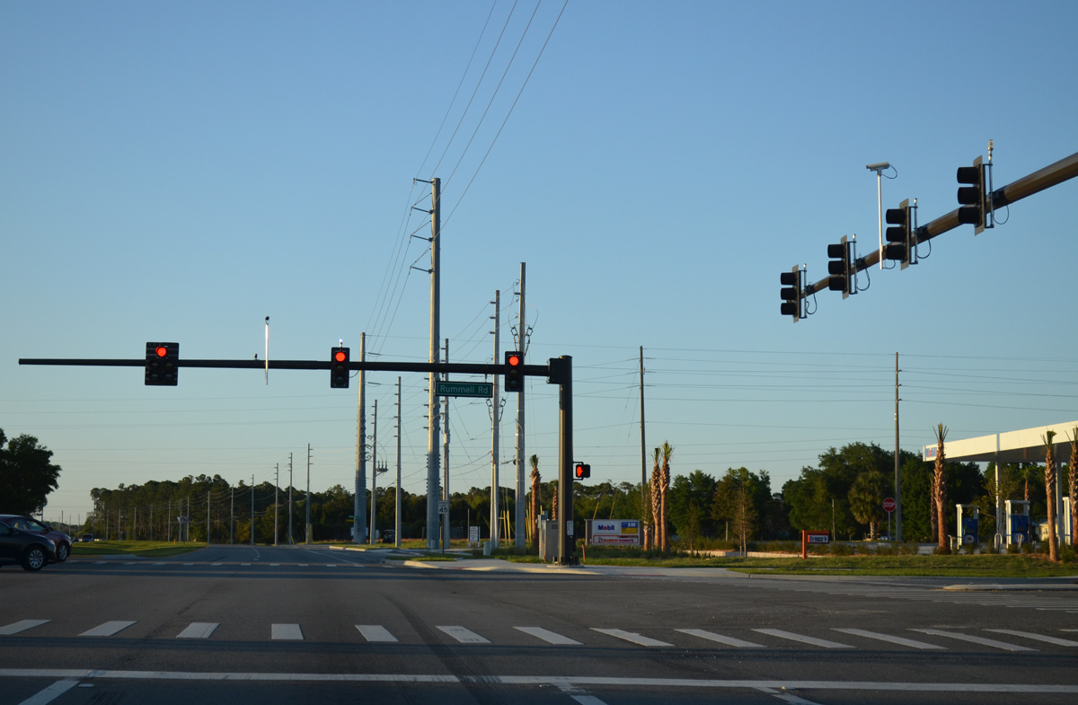
| Rummell Road leads west and southwest from CR 15 between East Lake Tohopekaliga and Lake Runnymeade to Mississippi Avenue and the St. Cloud street grid. 04/01/14 |
|
| Running east of East Lake Tohopekaliga, CR 15 (Narcoossee Road) enters the unincorporated community of Narcoosee. 04/01/14 |
|
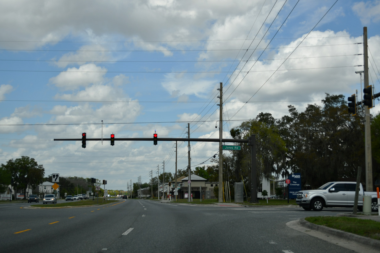
| Jones Road winds two miles southeast from Narcoosee Road as unsigned CR 534A 04/01/14 |
|
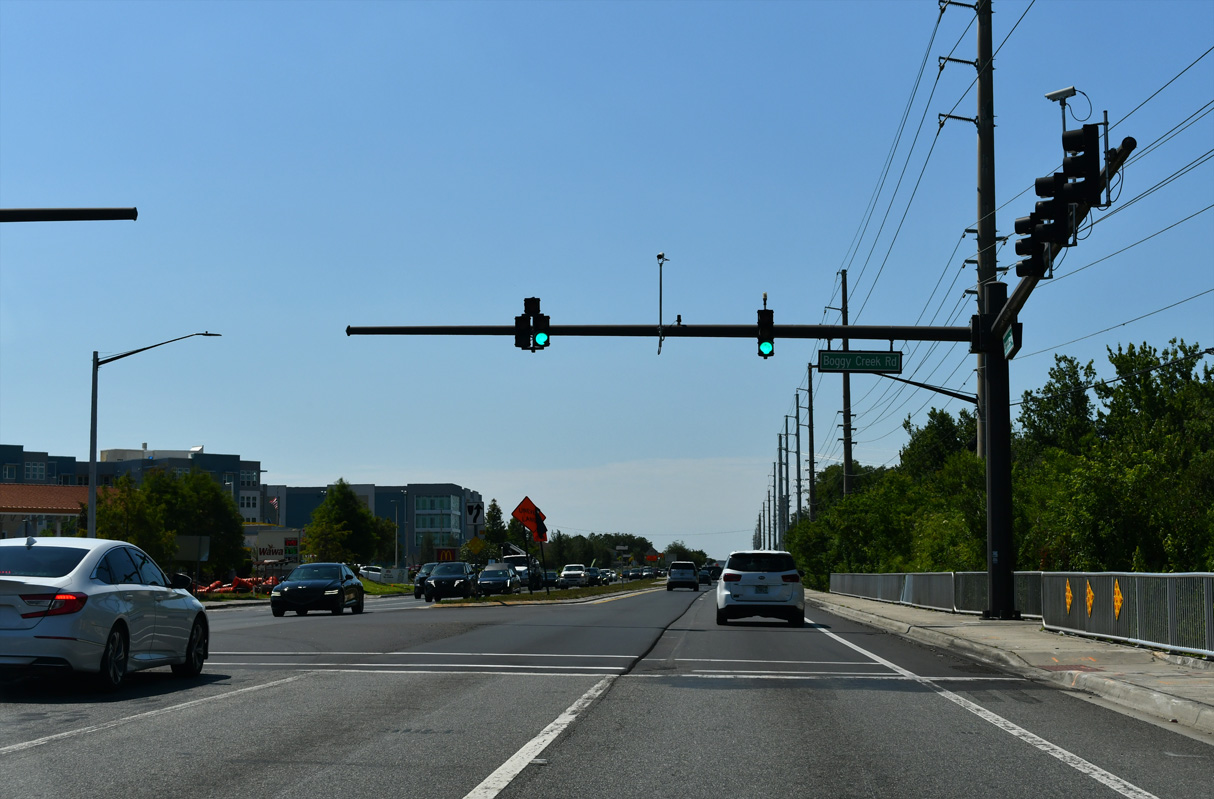
| Turning northwest from near Ajay Lake, Narcoossee Road advances to the Orange County line and Boggy Creek Road (CR 530). Boggy Creek Road straddles the county line west before looping south toward East Lake Tohopekaliga and north to Orlando International Airport (MCO). 04/01/14 |
|
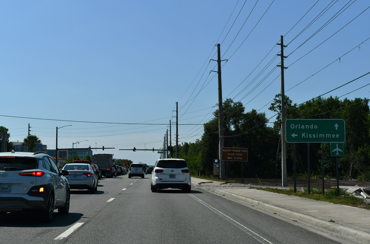
| County Road 530 is mostly unsigned as it follows Boggy Creek Road west to Simpson Road, and Simpson Road southwest to Kissimmee. 04/01/14 |
|
| Former Orange County line sign on what was then just a two lane rural road. Narcoossee Road quickly expands to six lanes just beyond the county border now. 08/25/07 |
|
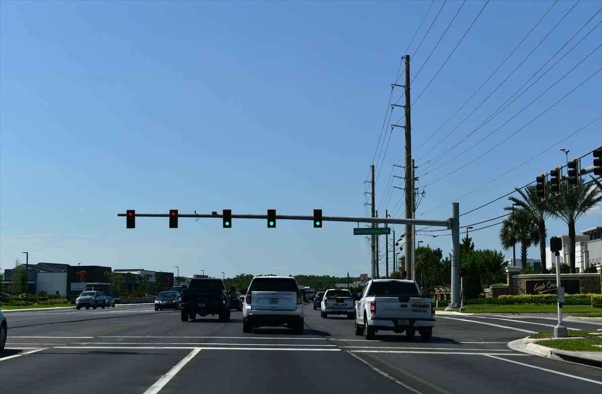
| CR 15 (Narcoosee Road) gradually curves northward through southeastern reaches of Orlando. The previously rural road continues as a six lane arterial by the Eagle Creek Village development. 08/25/07 |
|
| Emerson Lake Boulevard comprises the north entrance into the Eagle Creek Golf Course community. Tavistock Lakes Boulevard ties in from the Laureate Park development to the west. 08/25/07 |
|
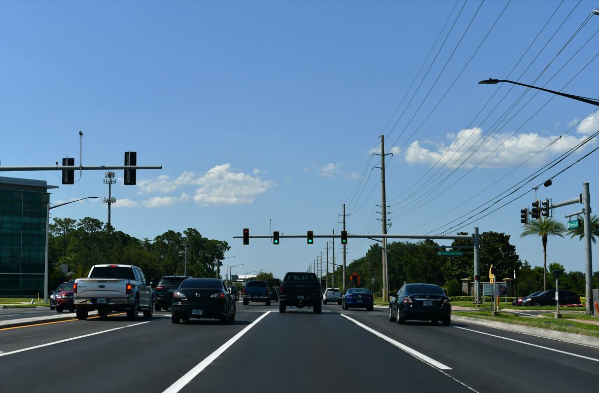
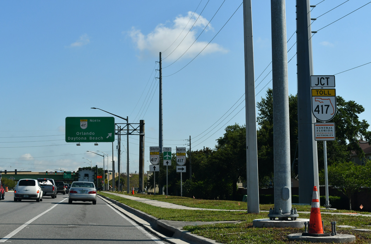
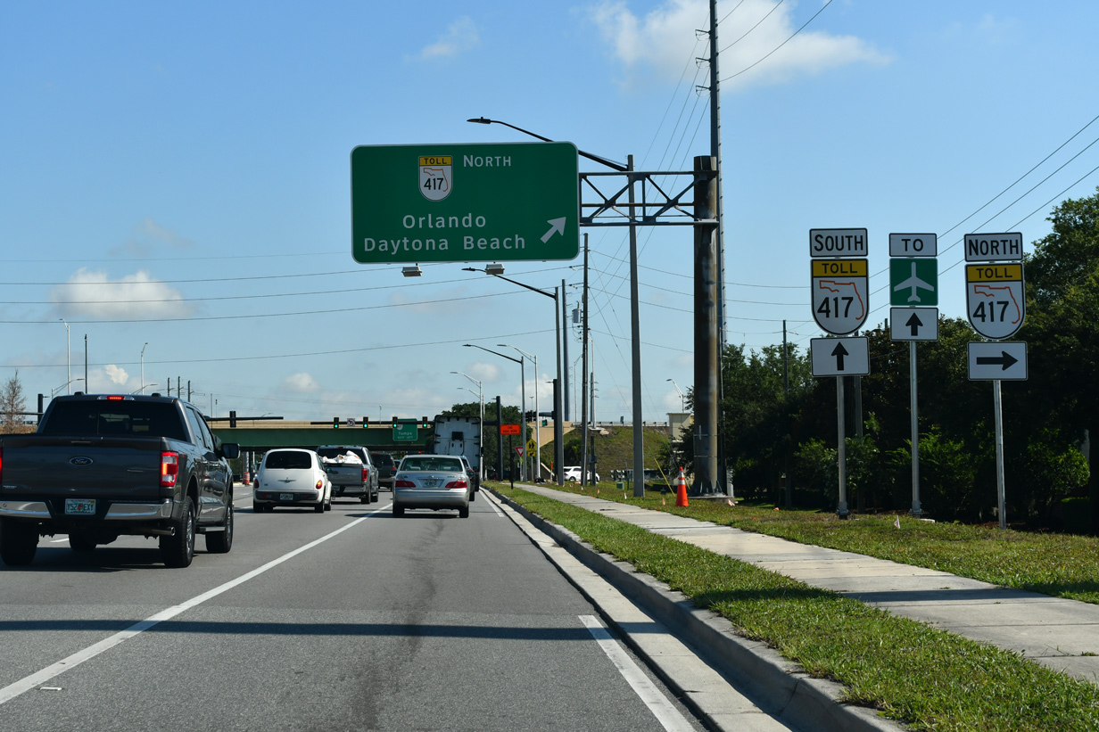
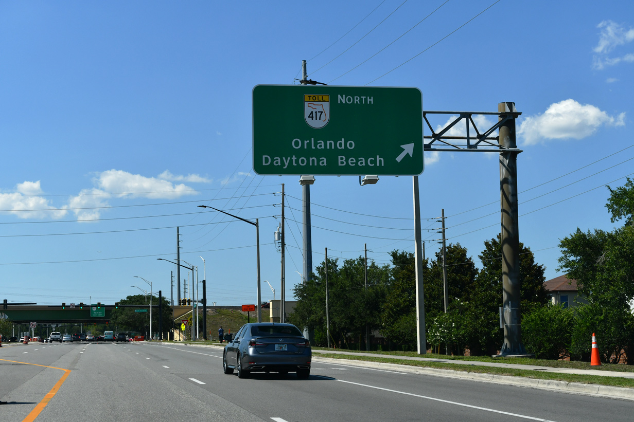
| Narcoossee Road transitions into a commercial arterial north from Eagle Creek and west of Lake Whippoorwill. A diamond interchange follows with SR 417 (Central Florida GreeneWay). 08/25/07 |
|
| The Central Florida GreeneWay arcs northeast through the Lake Nona area and travels four miles north to the Beachline Expressway. The tolled beltway extends north to Sanford in Seminole County. 08/25/07 |
|
| Leading west from Narcoosee Road, SR 417 travels between Medical City and Orlando International Airport (MCO) to Boggy Creek Road. The toll road continues through the Meadow Woods and Hunter's Creek areas to Celebration in Osceola County. 08/25/07 |
Page Updated 04-03-2018.