|
| Limestone Road leads south from Kaolin Road and passes below PA 41 (Gap Newport Pike) to connect Chester County with the Upper Pike Creek Valley in Delaware. 12/20/16 |
|
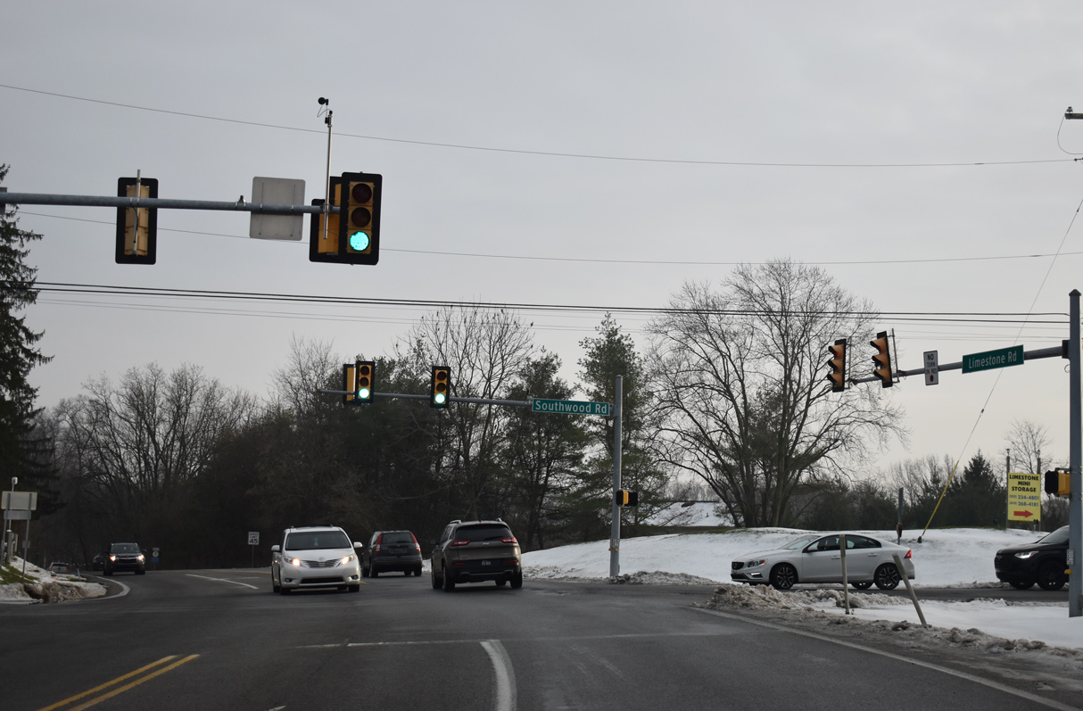
| Southwood Road stems west from Valley Road in Hockessin to meet Limestone Road (SR 3013) just north of the Delaware state line. 12/21/20 |
|
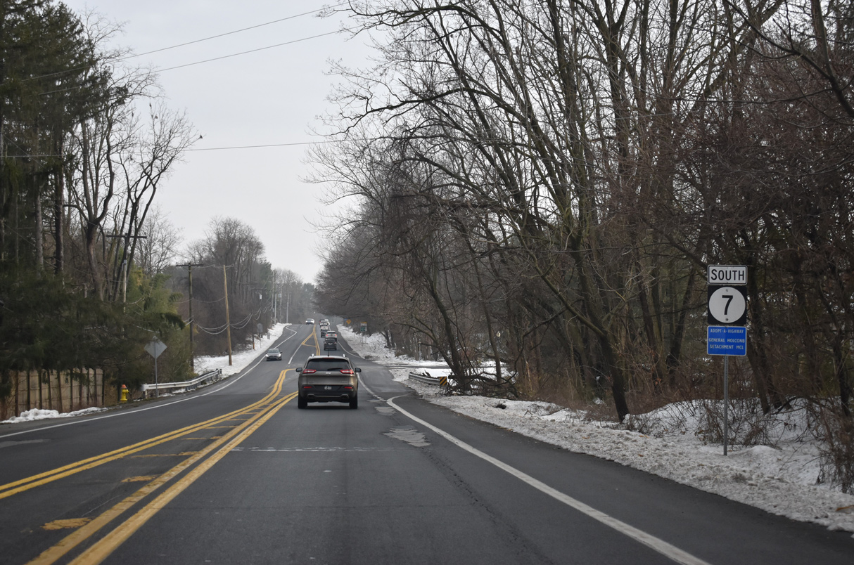
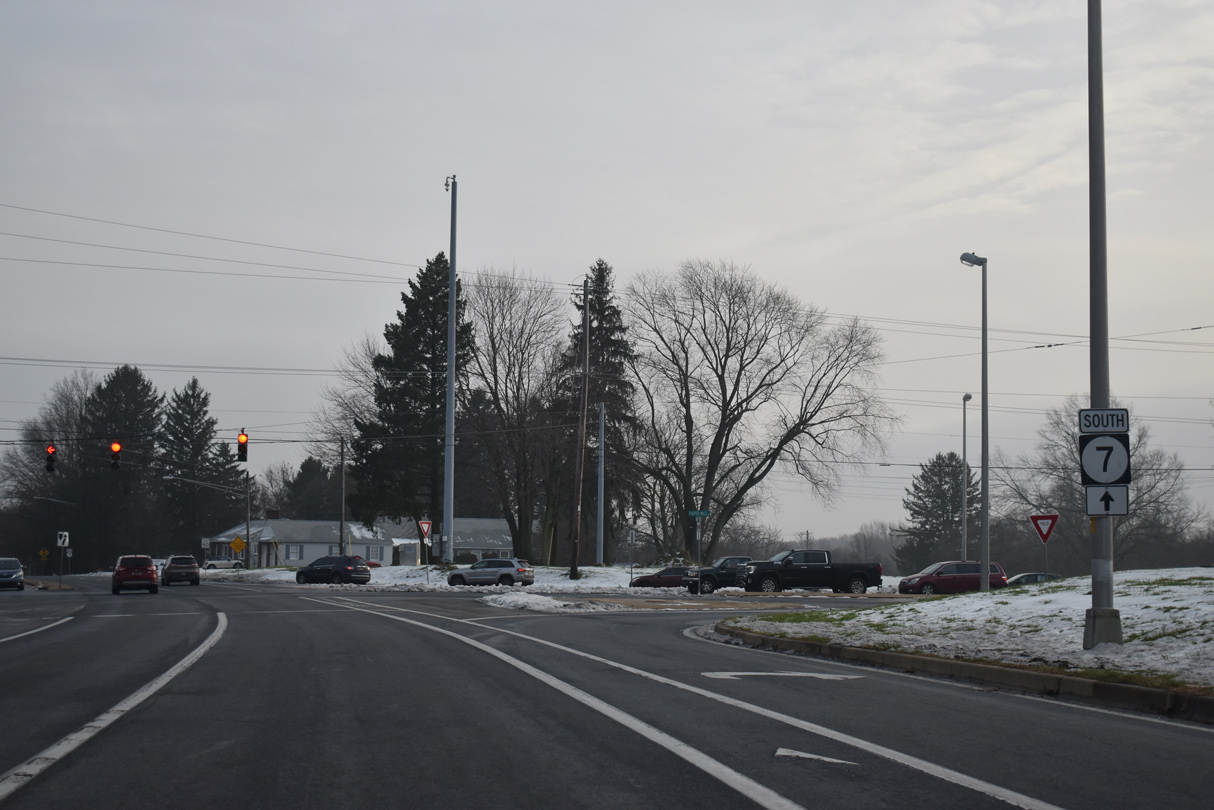
| SR 7 commences to the immediate south of Southwood Road. Limestone Road passes between the Southwood Estate and Stenning Woods subdivisions on the initial stretch through New Castle County. 12/21/20 |
|
| Valley Road heads north from SR 7 (Limestone Road) at Tweeds Park to Hockessin and south to North Star Road. 12/21/20 |
|
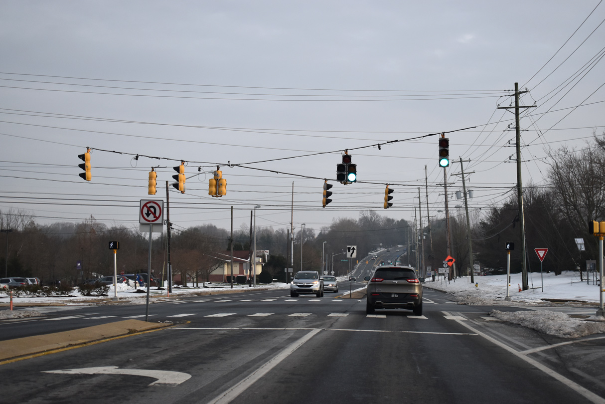
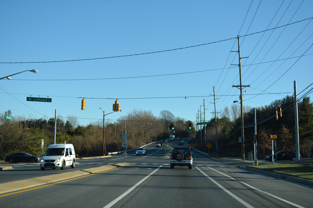
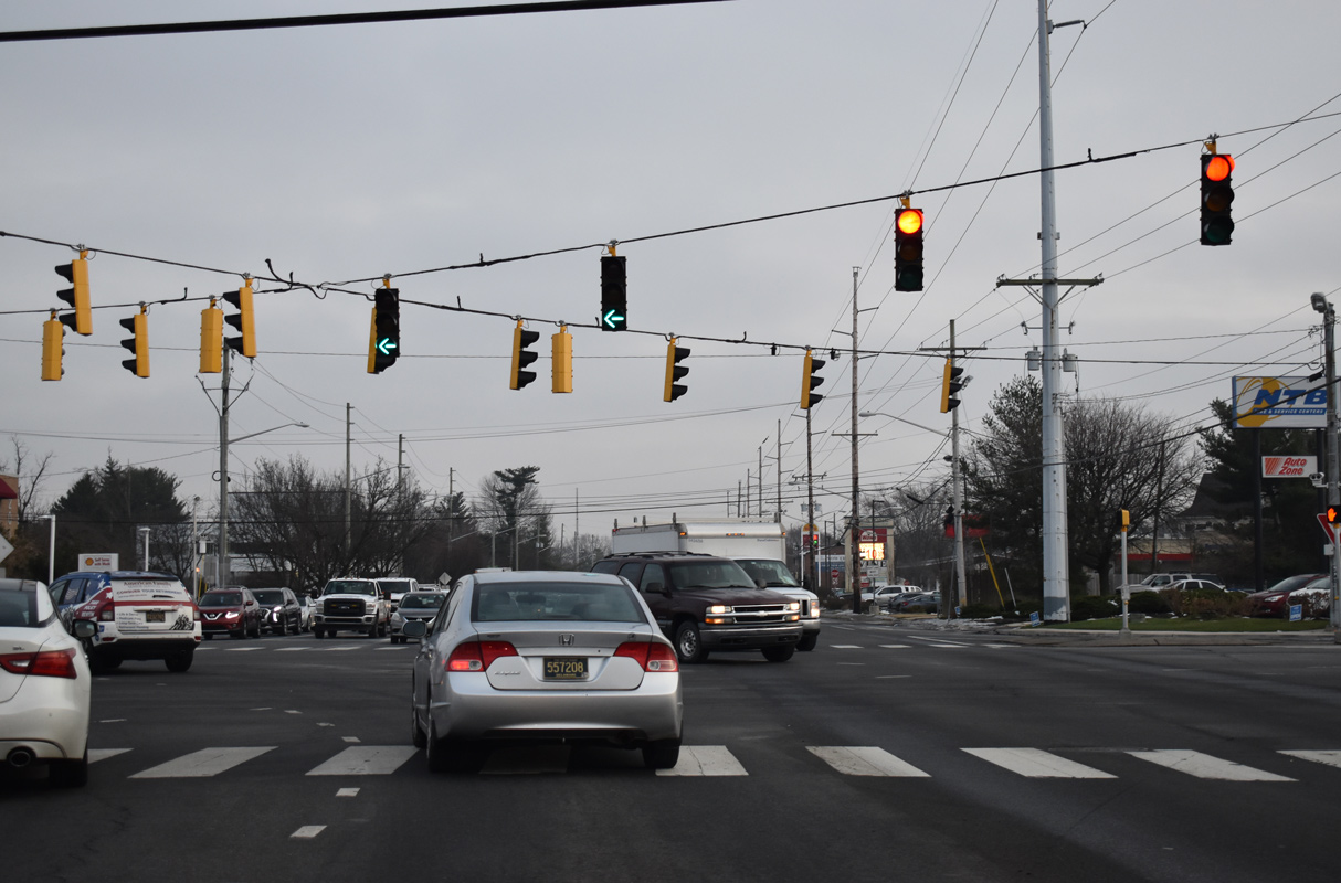
| A concrete divider separates single lane traffic to the signalized entrance to Lantana Square Shopping Center. 12/21/20, 12/20/16 |
|
| Brackenville Road provides a second route east to Hockessin from SR 7 (Limestone Road) at Little Baltimore Road. 12/21/20 |
|
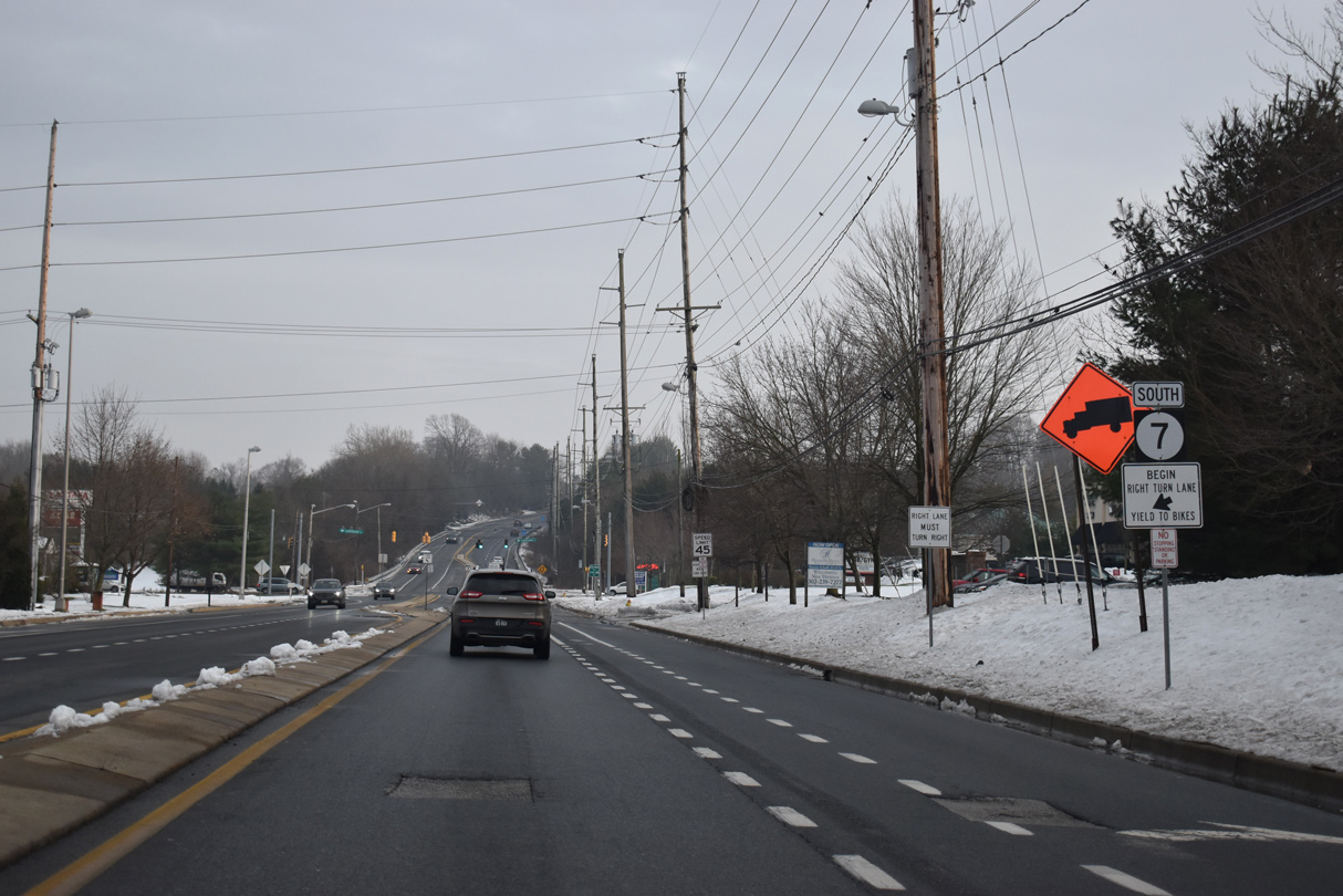
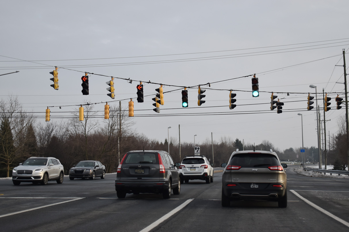
| SR 7 (Limestone Road) carries four overall lanes south from Brackenville and Little Baltimore Roads. 12/21/20 |
|
| Haileys Trail east from the Jarrell Farms subdivision and Village Dive west from Mendenhall Village come together at the next signal on SR 7 southbound. 12/21/20 |
|
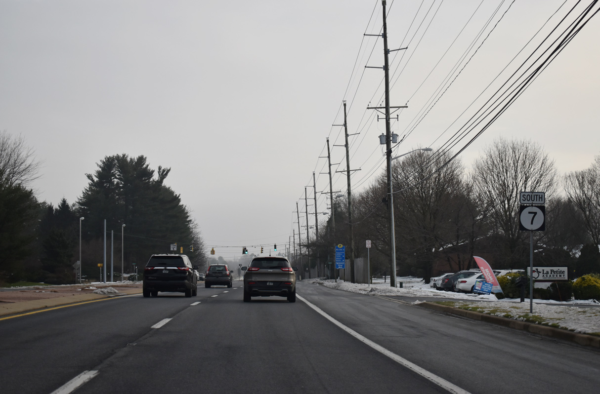
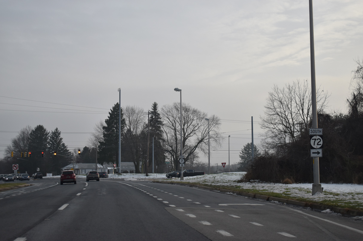
| Continuing south along the suburban arterial, SR 7 (Limestone Road) meets the north end of SR 72. SR 72 arcs southwest along Paper Mill Road to White Clay Creek State Park and Millford Crossroads. Paper Mill Road leads directly to Chapel Street and Downtown Newark. 12/21/20 |
|
| Limestone Road turns easterly from SR 72 (Paper Mill Road) by the Limestone Hills community. SR 7 and SR 72 come together again at Wrangle Hill. 12/21/20 |
|
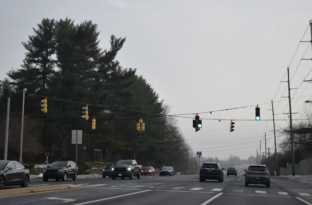
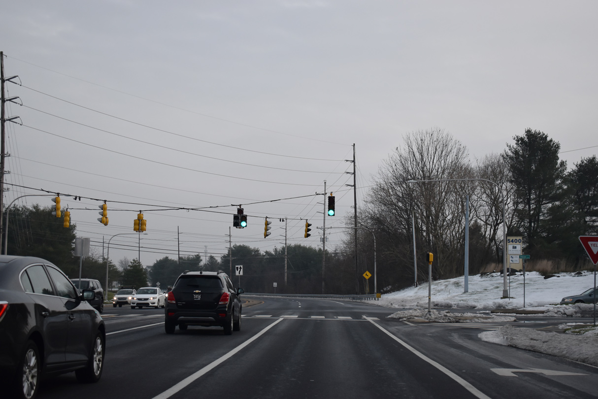
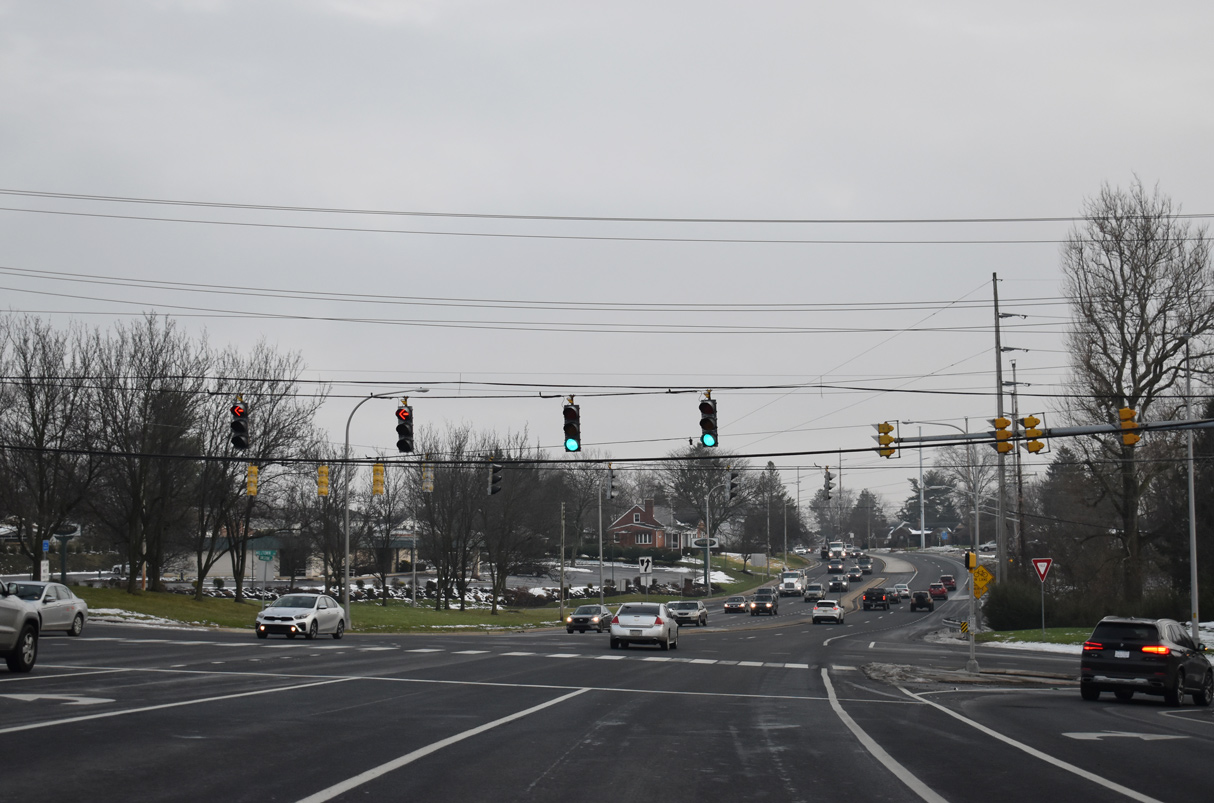
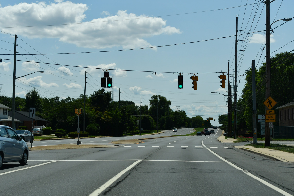
| Commuter traffic steadily increases south from SR 72 and the Upper Pike Creek Valley. 2015 traffic counts showed an increase of 20,000 vehicles per day (vpd) southward to SR 2 (Kirkwood Highway). 12/21/20 |
|
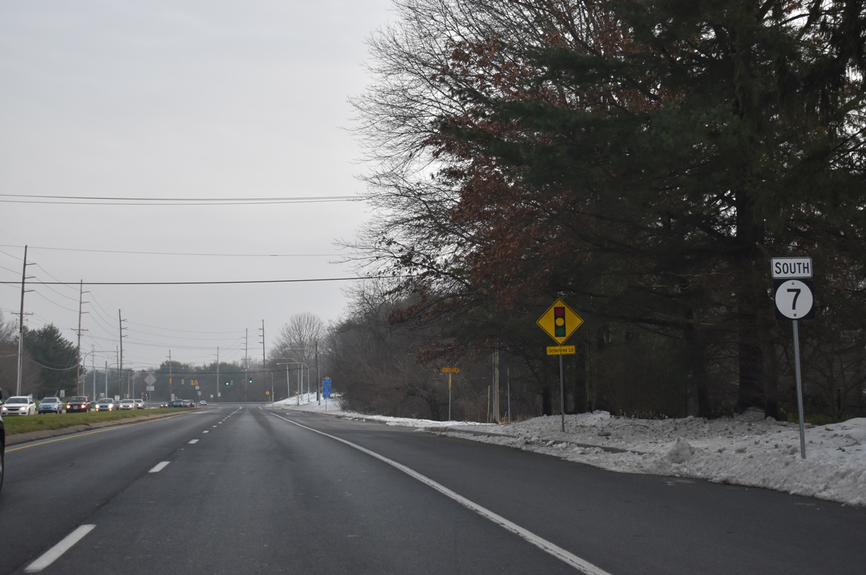
| Ochletree Lane joins SR 7 (Limestone Road) with adjacent retail, offices and town homes at the ensuing southbound signal. 12/21/20 |
|
| Stoney Batter Road meanders east from SR 7 at Goldey-Beacom College to Mill Creek Road, forming part of a commuter route to SR 41 (Newport Gap Pike). Skyline Drive north links the state route from the west from adjacent Pike Creek Shopping Center and Pike Creek Golf Course. 12/21/20 |
|
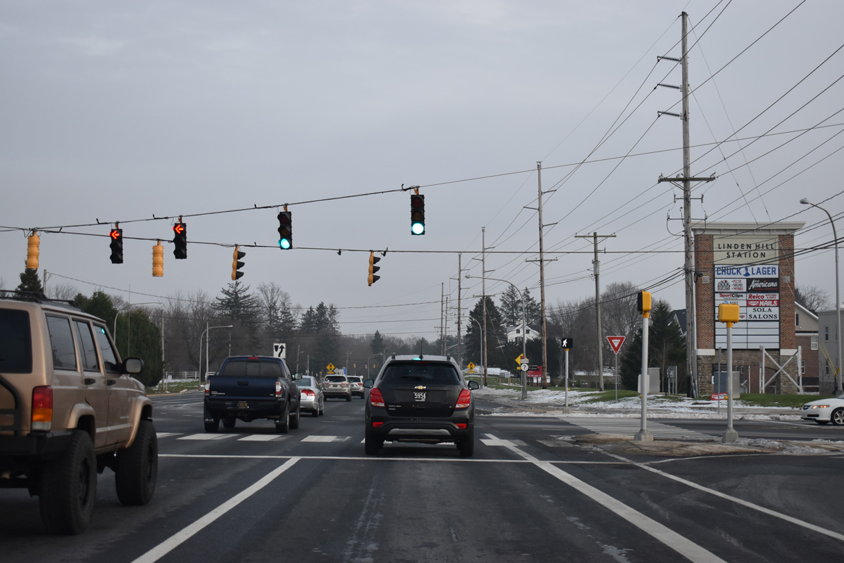
| Linden Hill Road winds south from SR 7 (Limestone Road) and Pike Creek Shopping Center to suburban areas west to Polly Drummond Hill Road. 12/21/20 |
|
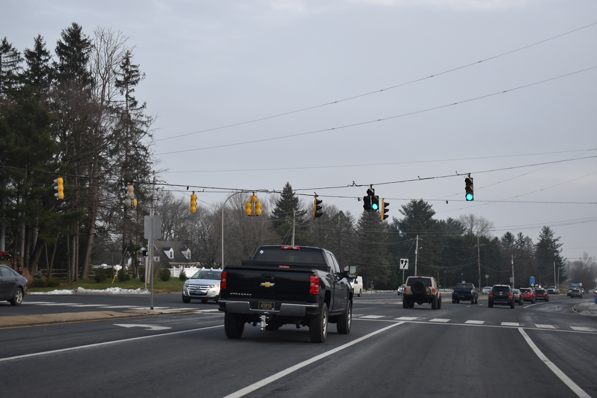
| Progressing east, Limestone Road makes a gradual descent, from 289 feet in elevation at Linden Hill Road to 100 feet at Mill Creek. 12/21/20 |
|
| Greenwood Drive represents the lone entrance to the Wood Creek subdivision from SR 7 at this traffic light. 12/21/20 |
|
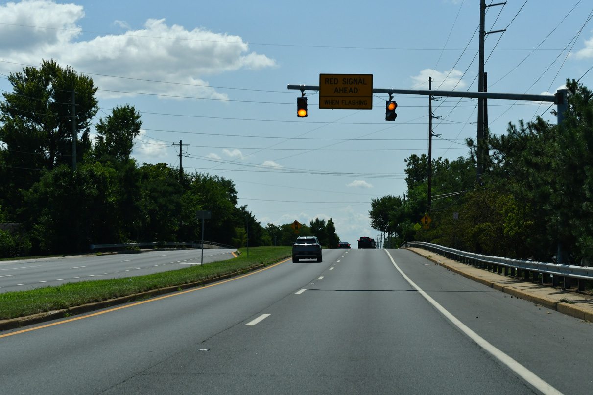
| A series of S-curves takes SR 7 east by Carousel Park, and across Mill Creek, to the signalized intersection with Arundel Drive and the Arundel subdivision. 12/21/20 |
|
| Milltown Road and McKennans Church Road converge with SR 7 (Limestone Road) south at Milltown. McKennans Church Road branches northeast from Limestone Road to Delcastle Park and SR 41 (Newport Gap Pike) near Hockessin. The north-south road intersects Milltown Road next to SR 7. 12/21/20 |
|
| Milltown Road parallels SR 2 (Kirkwood Highway) west to near Delaware Park and east to SR 41 (Newport Gap Pike) near Prices Corner. 12/21/20 |
|
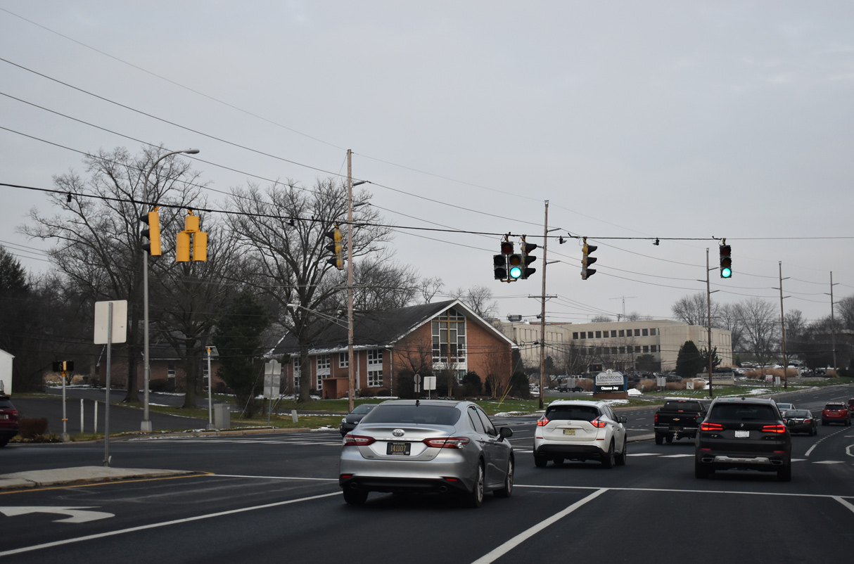
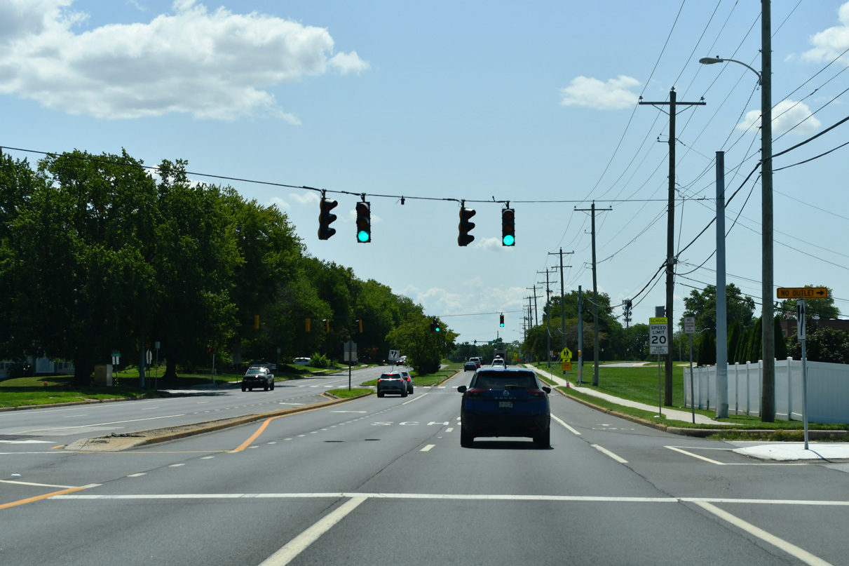
| Pickwick Drive joins SR 7 (Limestone Road) with Limestone Acres to the west and Limestone Gardens to the east. 12/21/20 |
|
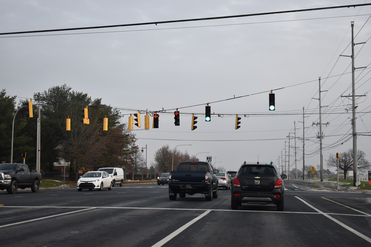
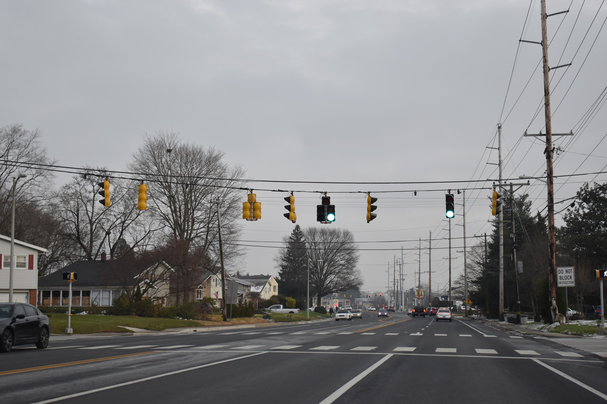
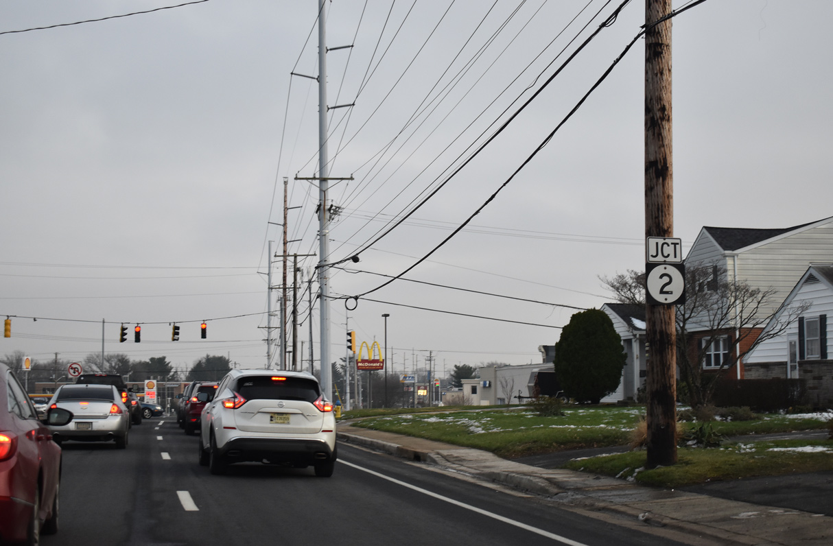
| SR 7 south next reaches the commercialized junction with SR 2 (Kirkwood Highway). 12/21/20 |
|
| A signalized left turn for Midway Shopping Center precedes SR 2 (Kirkwood Highway) on SR 7 (Limestone Road) south. 12/30/16 |
|
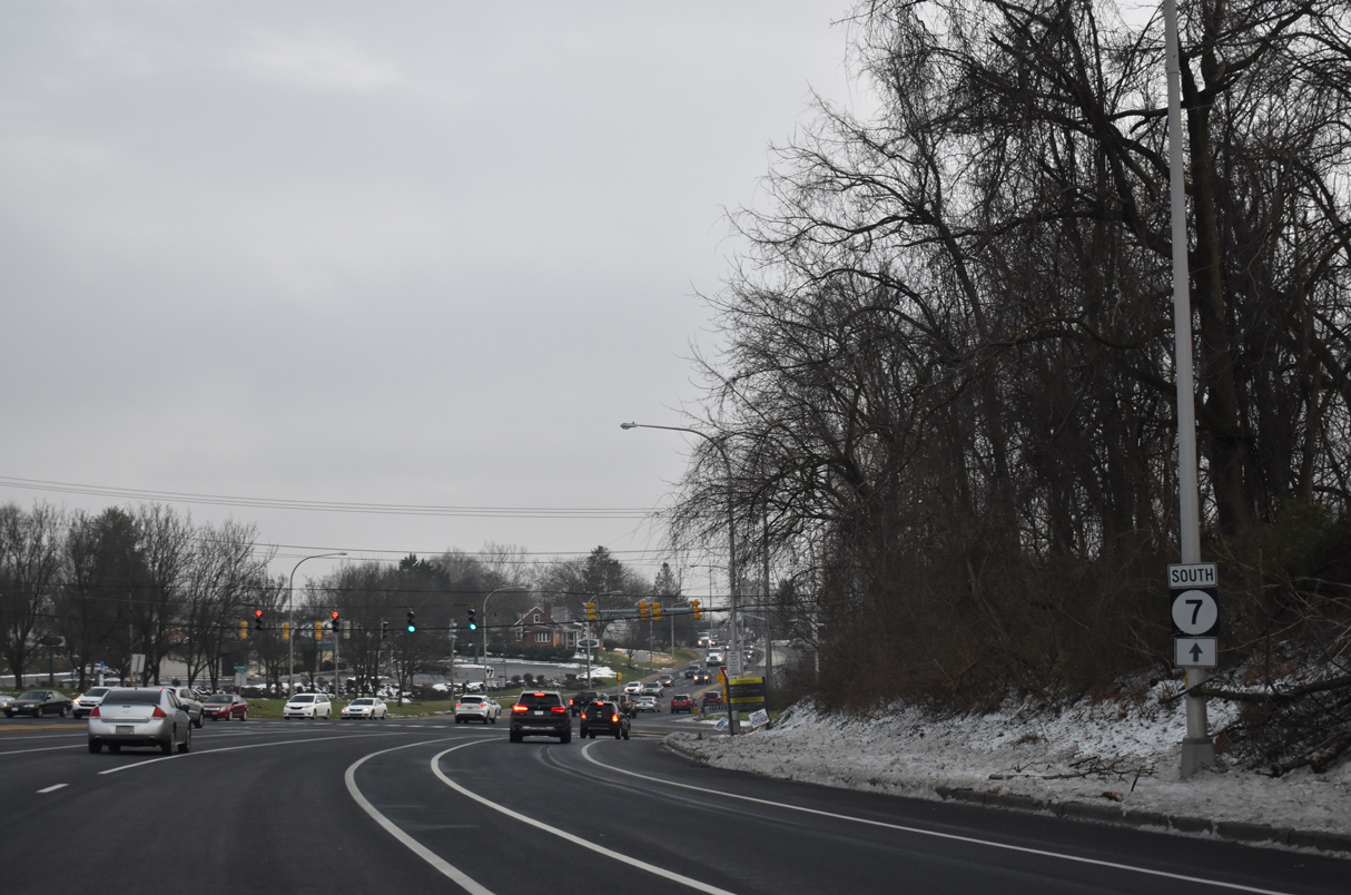
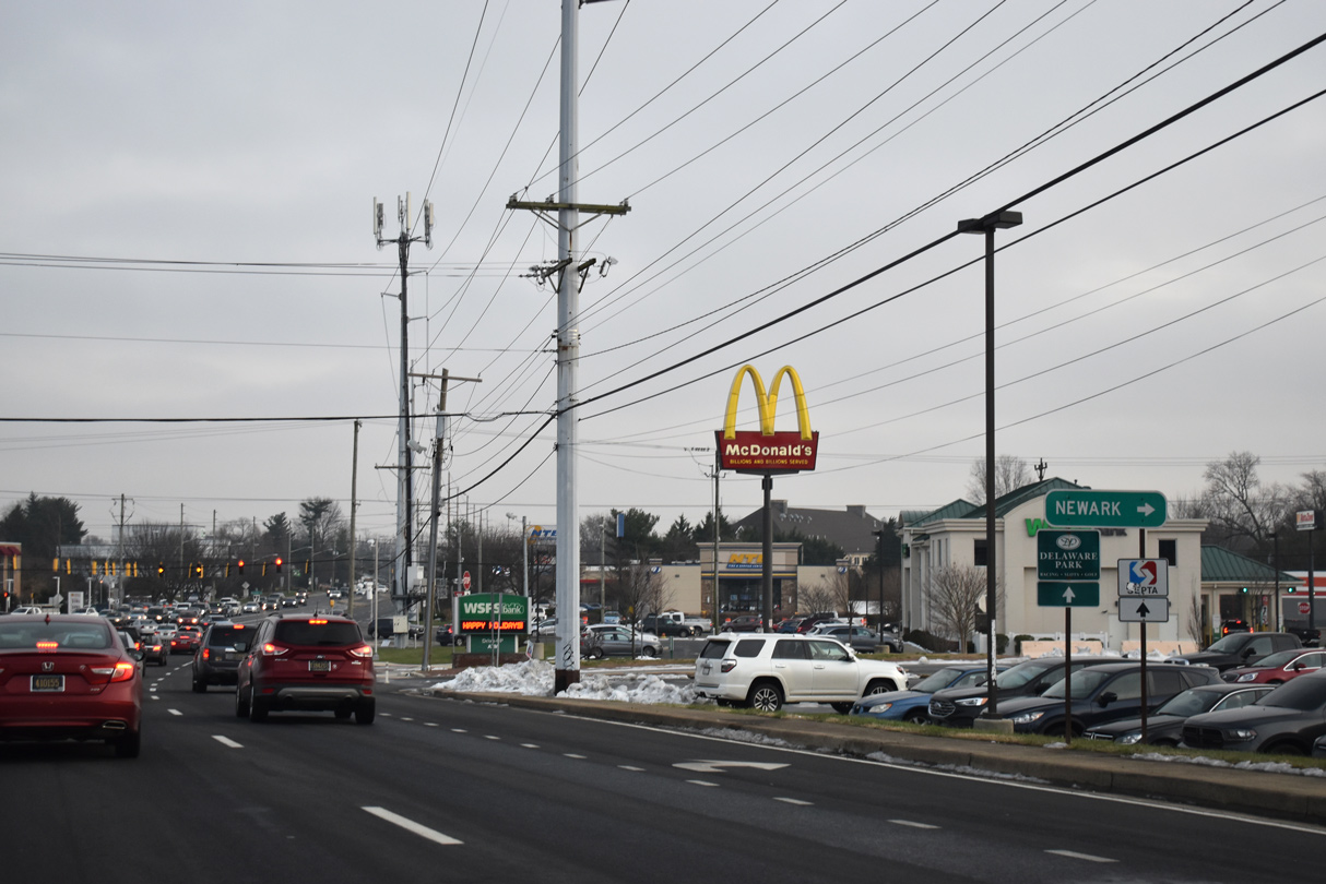
| SR 2 constitutes a well traveled arterial route west to the city of Newark and east to Prices Corner and Elsmere. The divided highway was completed by 1949. 12/21/20 |
|
| Peak hour congestion is a regular occurrence at the cross roads of SR 2 (Kirkwood Highway) and SR 7 (Limestone Road). Shopping centers occupy all four corners of the intersection. 12/21/20 |
|
| Limestone Road advances south from Kirkwood Highway between the Klair Estates subdivision and several apartment complexes. SR 7 is unmarked to Hendry Avenue. 07/27/24 |
|
| Southbound SR 7 (Limestone Road) spans a CSX Railroad line between Oregon Road and Laura Drive. 07/27/24 |
|
| Succeeding traffic lights south of the CSX Railroad overpass join SR 7 (Limestone Road) with Laura Drive west and Tarry Lane east. The residential roads connect with the Manette Heights and Rolling Hills subdivisions respectively. 07/27/24 |
|
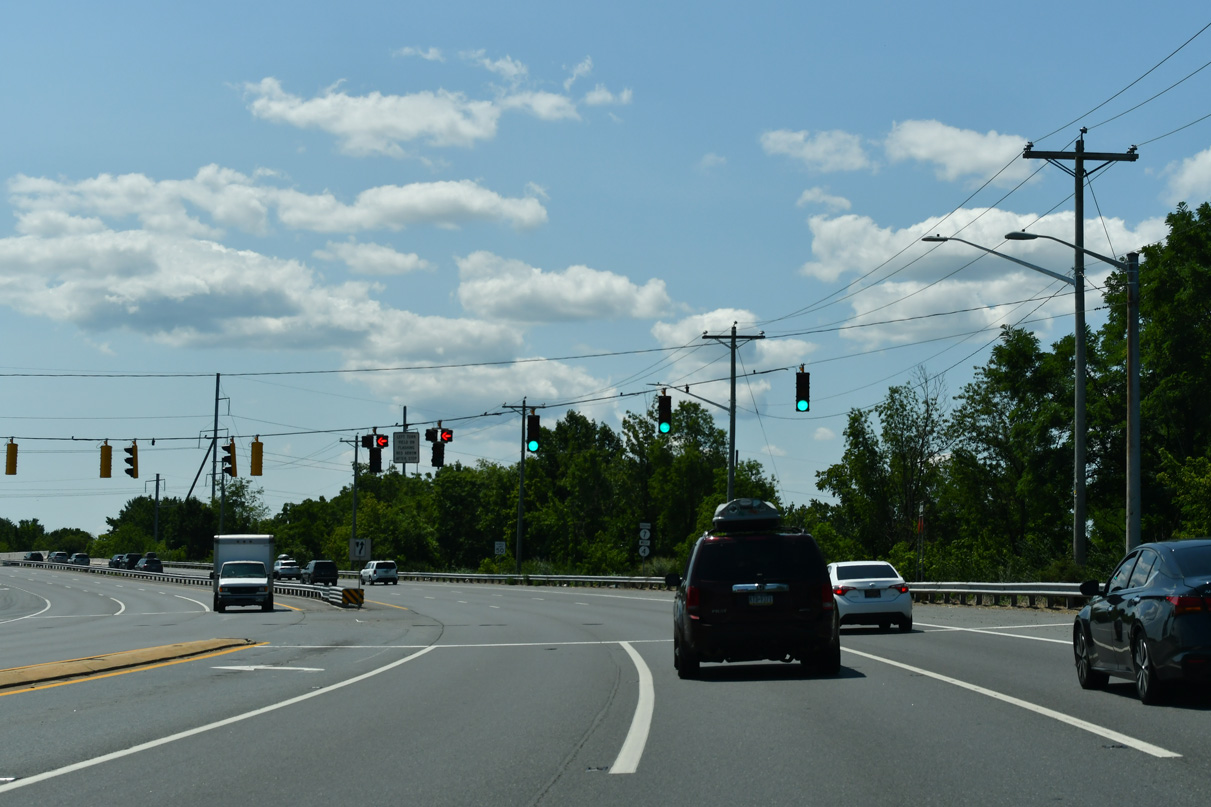
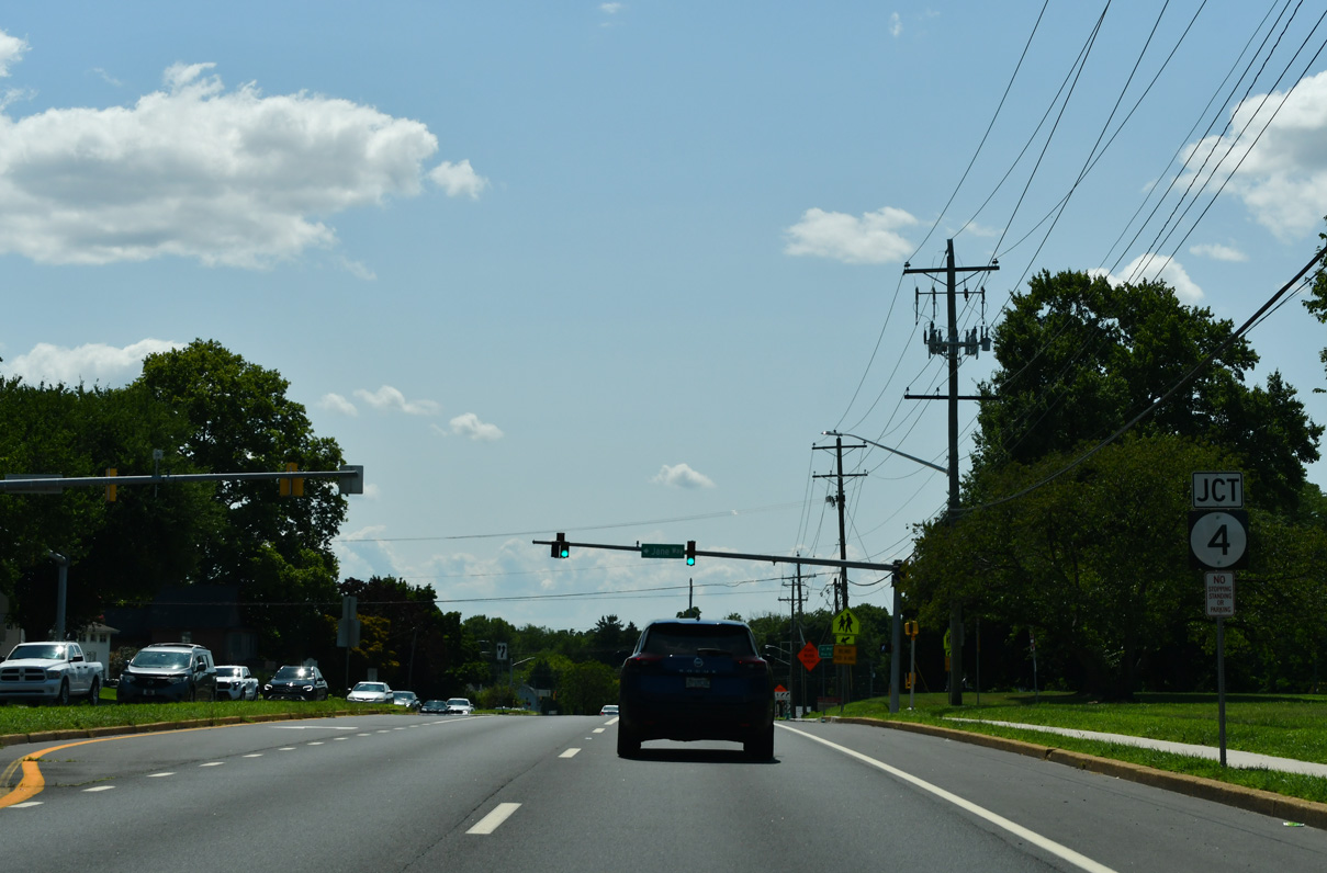
| SR 7 enters the unincorporated community of Stanton at SR 4 (Main Street / Mitch Road). 07/27/24 |
|
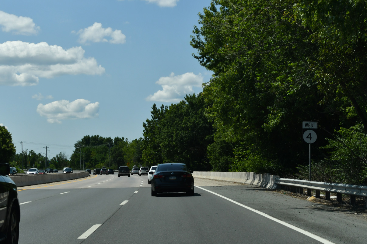
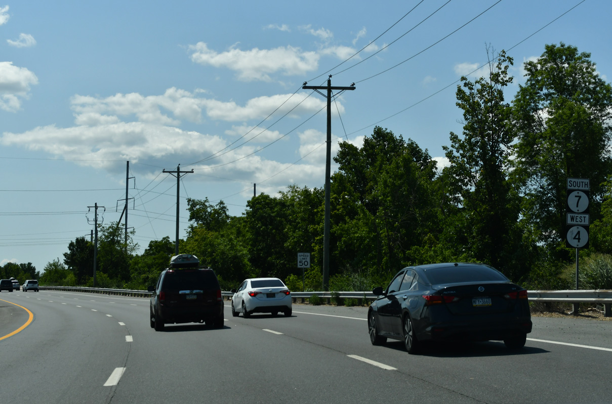
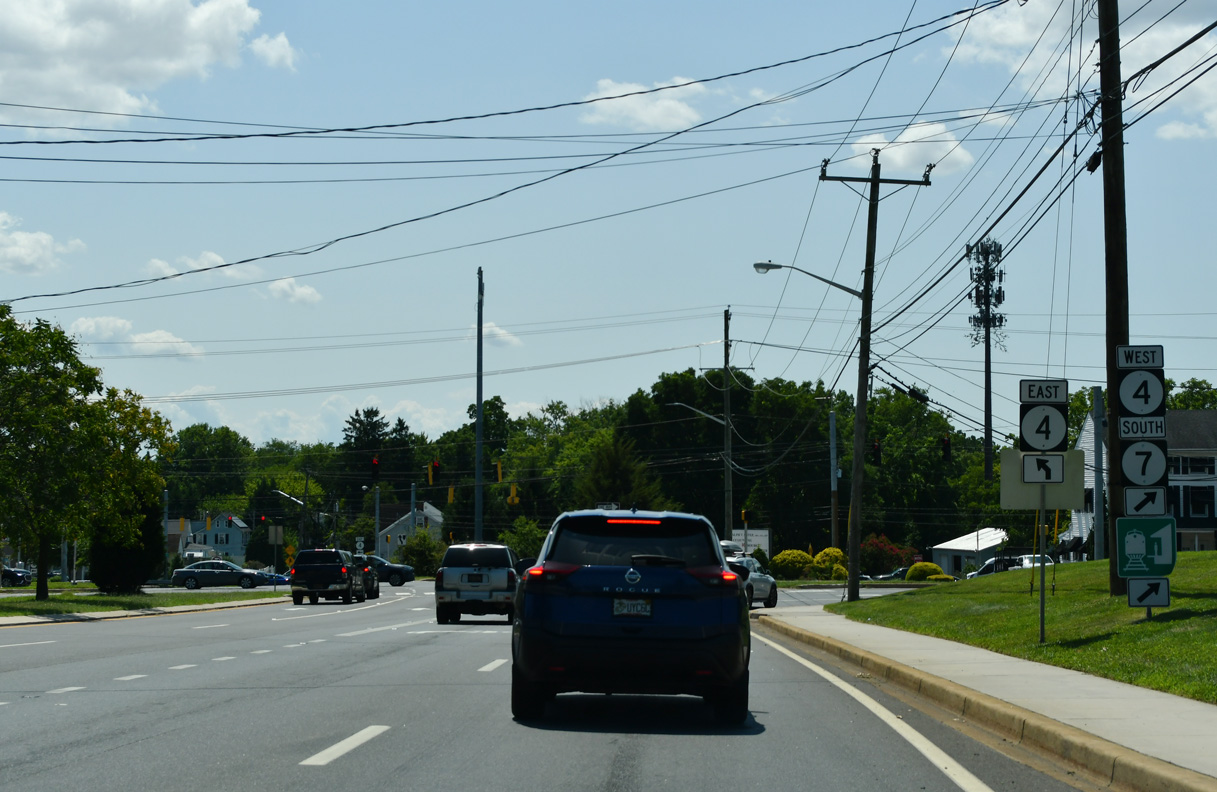
| Dual turn lanes separate traffic for SR 4 (Mitch Road) east to Newport Pike and the 1.2 mile long overlap of SR 4 west / SR 7 south to Churchmans Crossing. 07/27/24 |
|
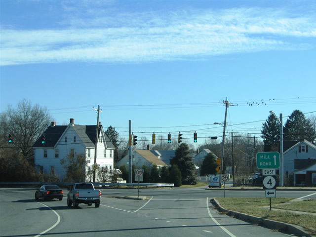
| The turn onto SR 4 (Mitch Road) east includes access to Mill Road, a short residential street. 12/23/05 |
|
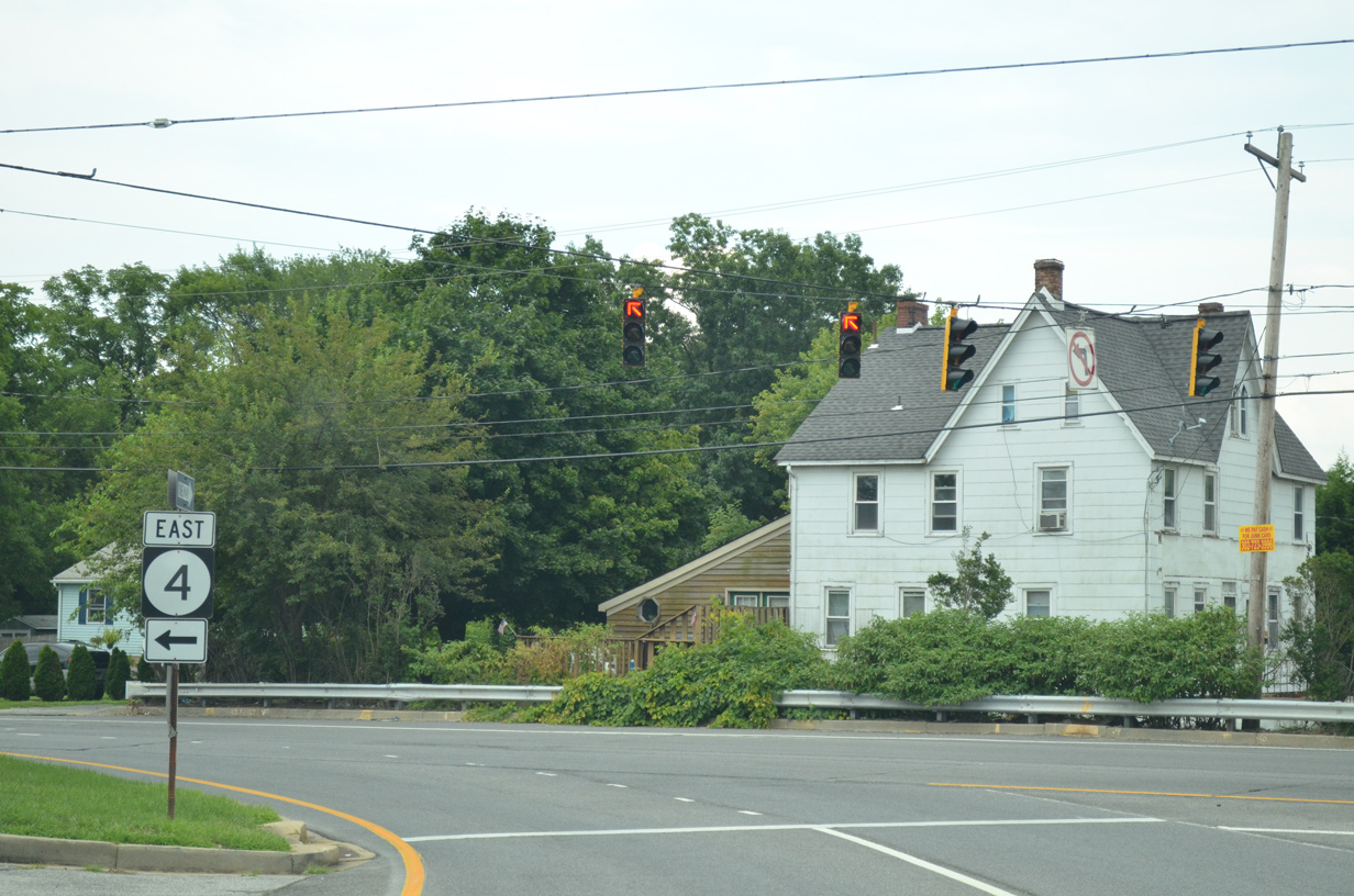
| The one way couplet of SR 4 through Stanton extends to east of Red Clay Creek. The state route reaches the town of Newport in 1.75 miles and ends in Wilmington. 07/31/13 |
|
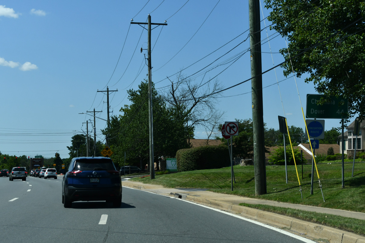
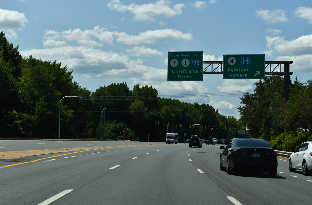
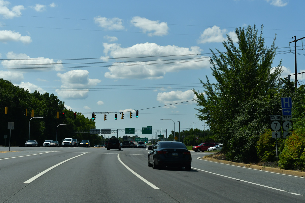
| Christiana is 3.8 miles south of Stanton along SR 7. Downtown Dover is 45 miles away via SR 7, SR 1 and SR 8. 07/27/24 |
|
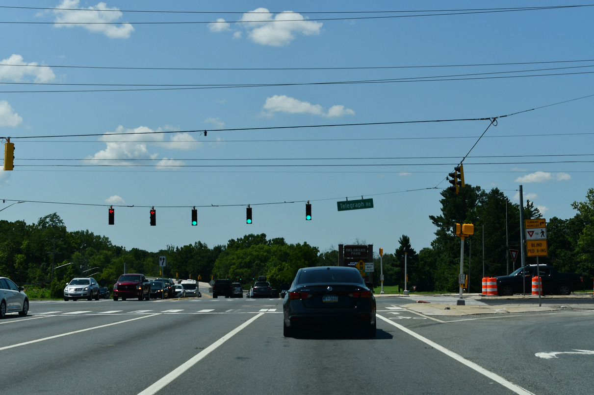
| Telegraph Road ties into SR 4/7 south from Old Capitol Trail. 07/27/24 |
|
| Delaware Park Boulevard loops west from SR 4/7 to SR 4/58 through Delaware Park. Delaware Park includes a thoroughbred racing track, a casino with slot machine gambling and a golf course. 07/27/24 |
|
| SR 4/7 cross White Clay Creek on a 533.2 foot long bridge built in 1981.1 07/27/24 |
|
| Road 336F links SR 4/7 with Stanton Christiana Road, the former alignment of SR 7 south from White Clay Creek and Stanton. 07/27/24 |
|
| SR 4/7 proceed south from Road 336F across the AMTRAK Northeast Corridor. 07/27/24 |
|
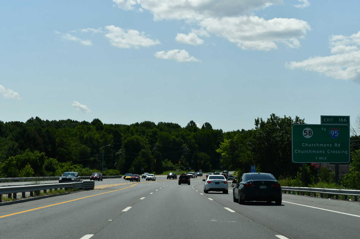
| A parclo interchange (Exit 166) joins SR 7 (Stanton Christiana Road) with SR 58 (Churchmans Road) one mile south of the AMTRAK bridge. 07/27/24 |
|
| Stanton Christiana Road (Road 336D) ties into SR 4/7 at the south end of the Stanton Bypass. SR 4 originally branched west from SR 7 along Road 358B (Ogletown Stanton Road) to Old Churchmans Road (Road 315). 07/27/24 |
|
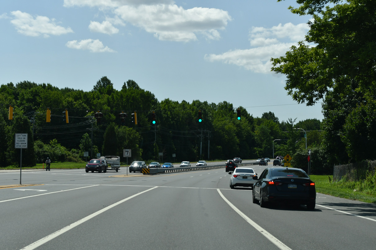
| SR 4 branches west from SR 7 (Stanton Christiana Road) along Ogletown Stanton Road toward Newark. 07/27/24 |
|
| SR 4 (Ogletown Stanton Road) heads 1.3 miles west to the entrance of Christiana Hospital and 2.88 miles to SR 273 and Salem Church Road at Ogletown. 07/27/24 |
Page Updated 01-07-2025.


 South
South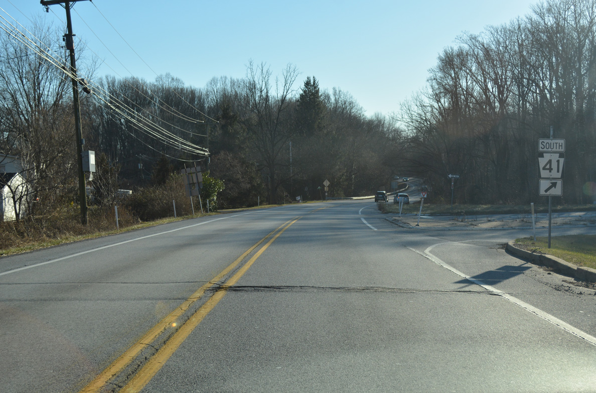


 West
West