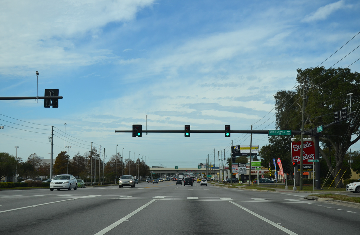
|
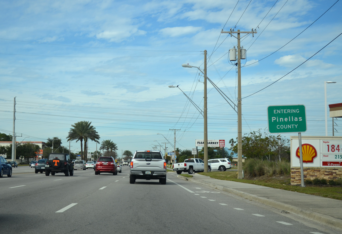
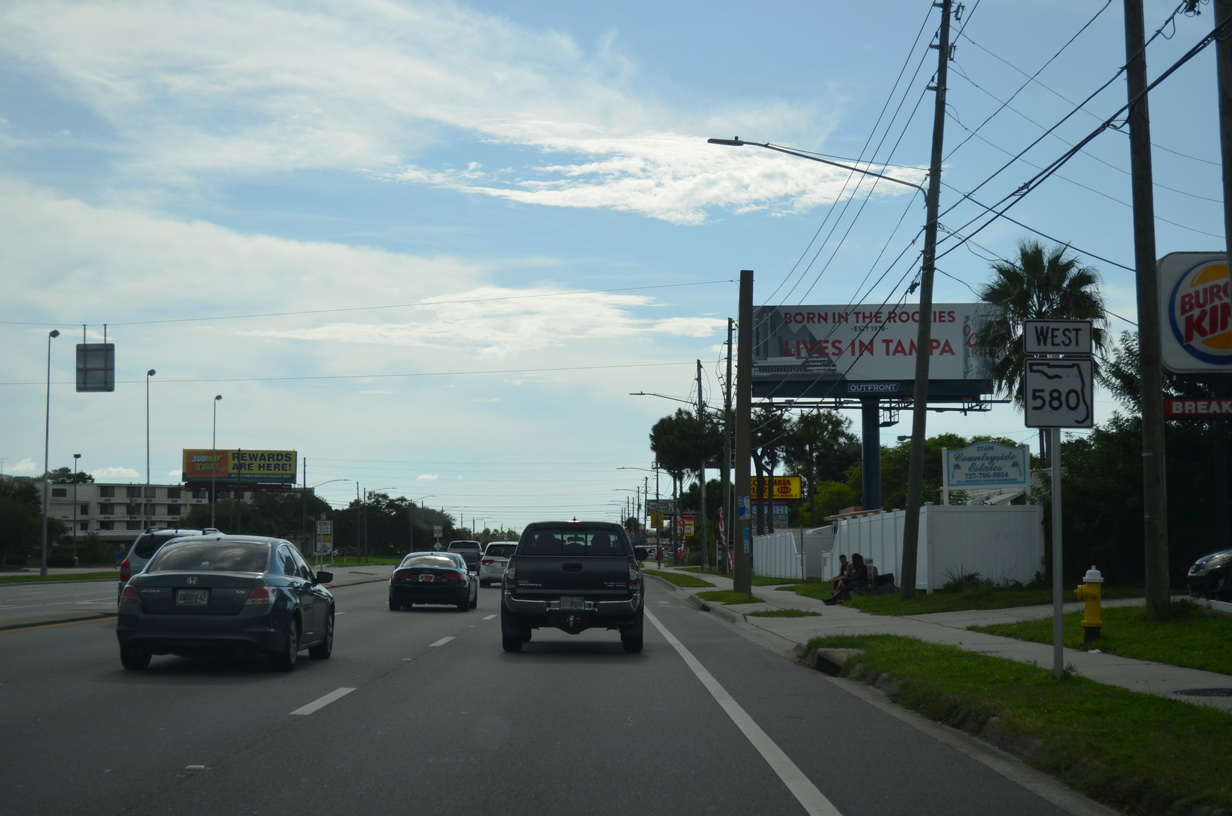
| SR 580 crosses both the Pinellas County and Oldsmar city line at Race Track Road. 01/14/16 |
|
| A former alignment of SR 580, St. Petersburg Drive loops south of SR 580 through Oldsmar. 01/14/16 |
|
| Reassurance marker posted west of St. Petersburg Drive. St. Petersburg Drive was redesignated as SR 580A for a period time after the arterial bypass for SR 580 opened to the north. 04/14/20 |
|
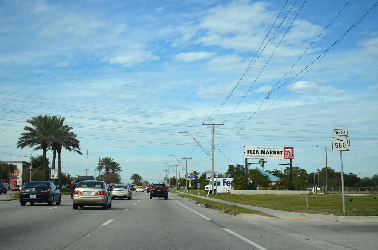
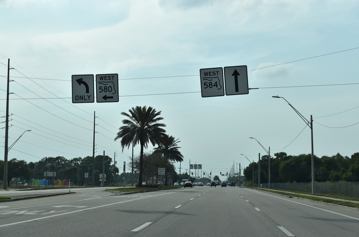
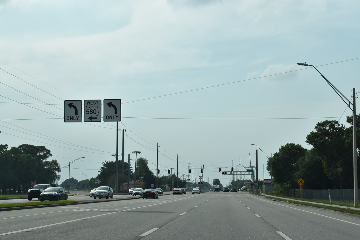
| SR 580 splits with SR 584 (Tampa Road) west to Safety Harbor. Tampa Road extends the six lane arterial west to Curlew Road (SR 586) in north Oldsmar. 04/14/20 |
|
| SR 584 lines Tampa Road for 2.08 miles between SR 580 and SR 586 (Curlew Road) at CR 752. CR 752 continues Tampa Road west to Palm Harbor while Curley Road leads into northern reaches of Dunedin. 04/14/20 |
|
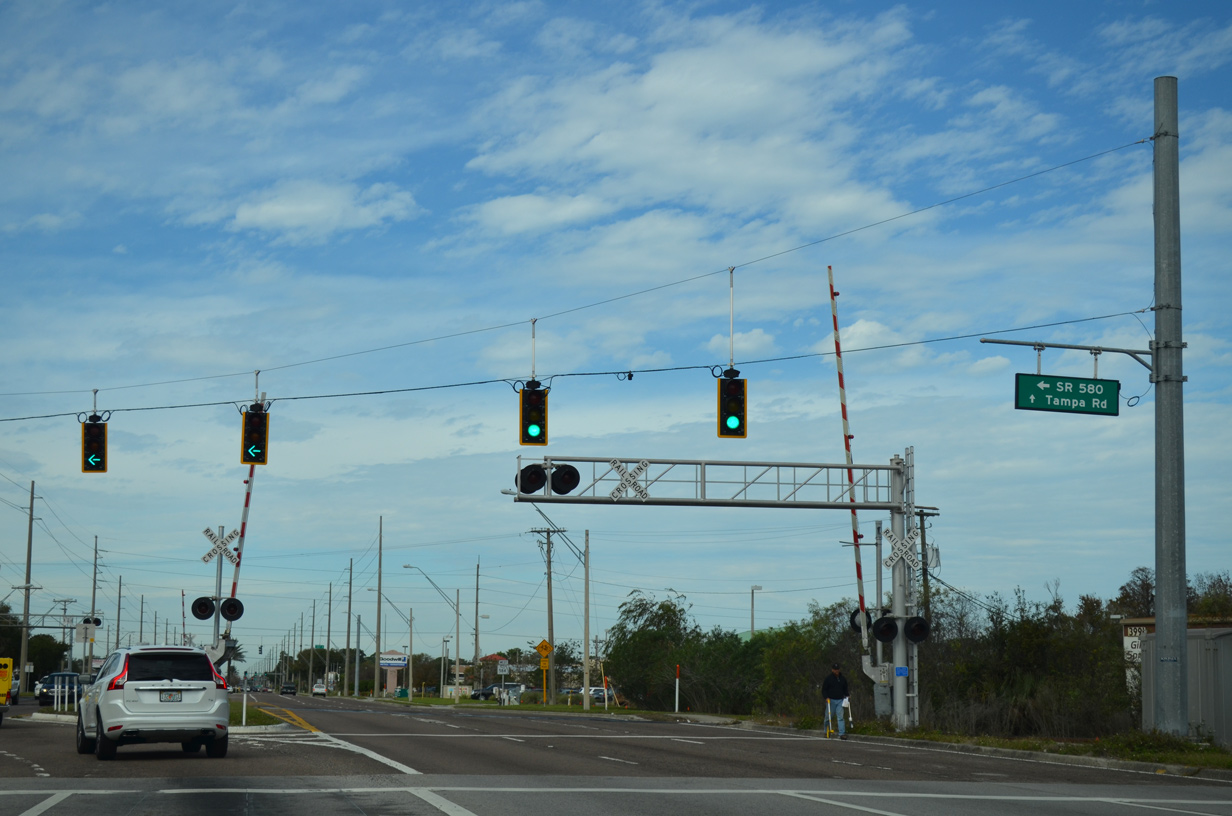
| A CSX Railroad line crosses Tampa Road at the wye intersection of SR 580/584. 01/14/16 |
|
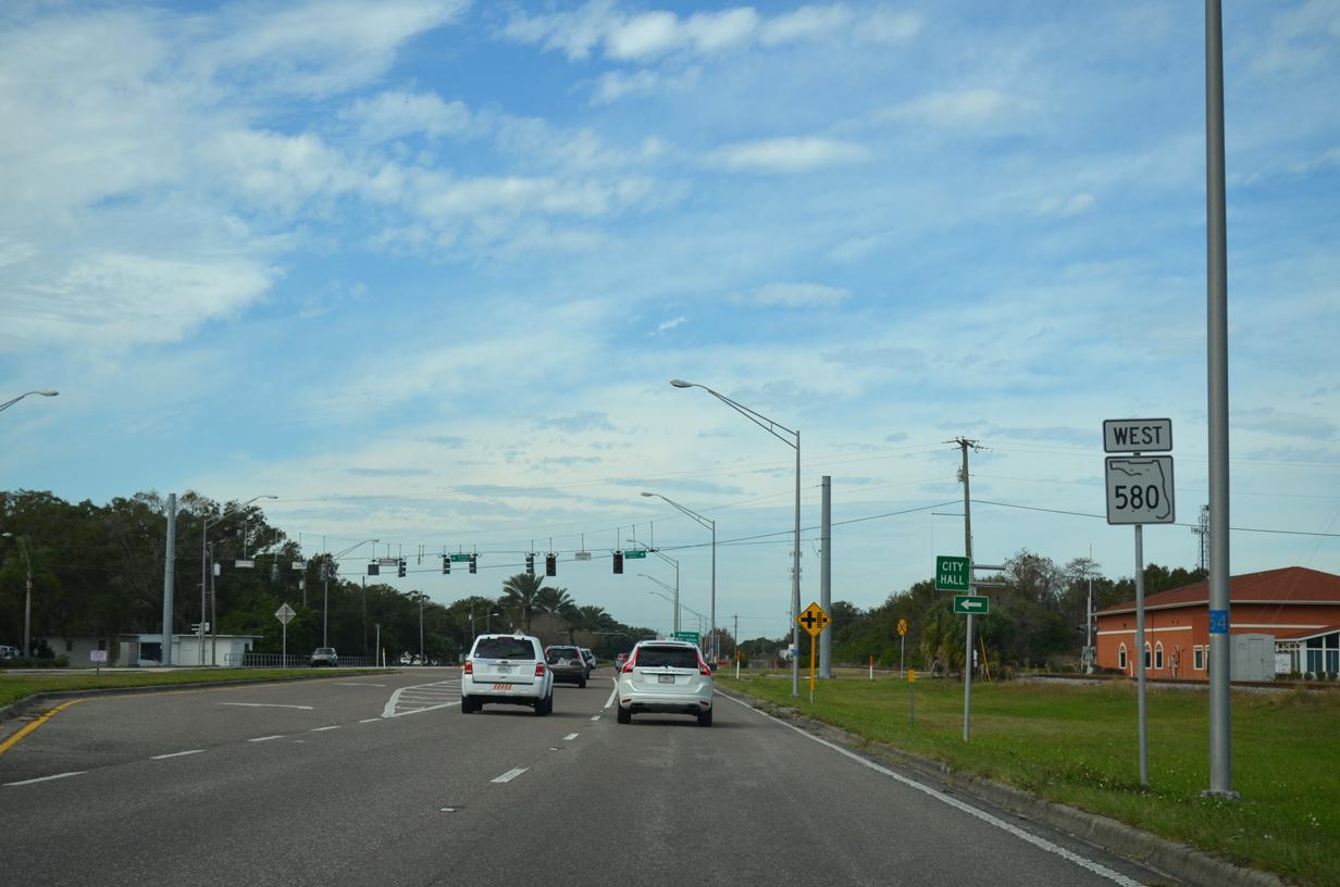
| Overtaking State Street west from Oldsmar city hall, SR 580 parallels a CSX Railroad line over the ensuing stretch. 01/14/16 |
|
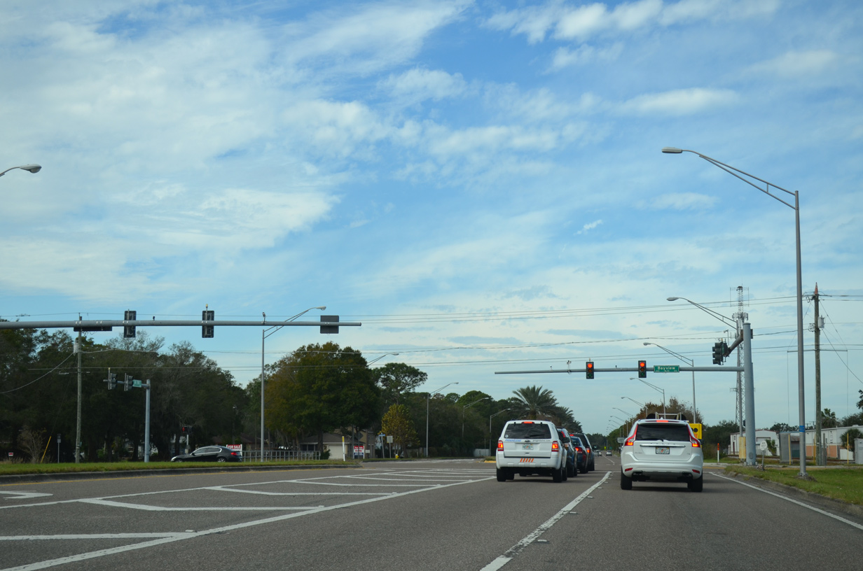
| Bayview Boulevard stems south from SR 584 (Tampa Road) to Shore Drive West at R.E. Olds Park on Safety Harbor. 01/14/16 |
|
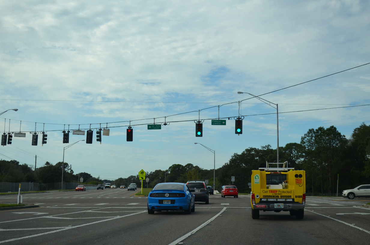
| St. Petersburg Drive (old SR 580A) returns to SR 580 (State Street) opposite Forest Lakes Boulevard north. Forest Lakes Boulevard winds northeast to Race Track Road and Linebaugh Avenue at Westchase in Hillsborough County. 01/14/16 |
|
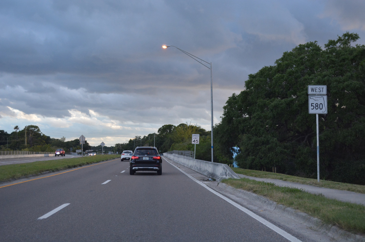
| State Road 580 proceeds southwest from State Street across Moccasin Creek. 04/20/19 |
|
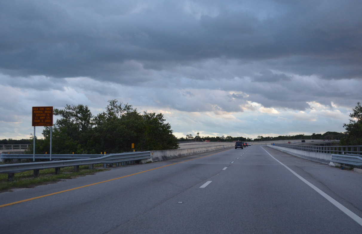
| Dedicated as the Gold Star Family Memorial Bridge, the State Road 580 span across the waters of Safety Harbor was completed in 1988. The westbound span measures 2,052 feet in length with a vertical clearance of 23 feet.1 04/20/19 |
|
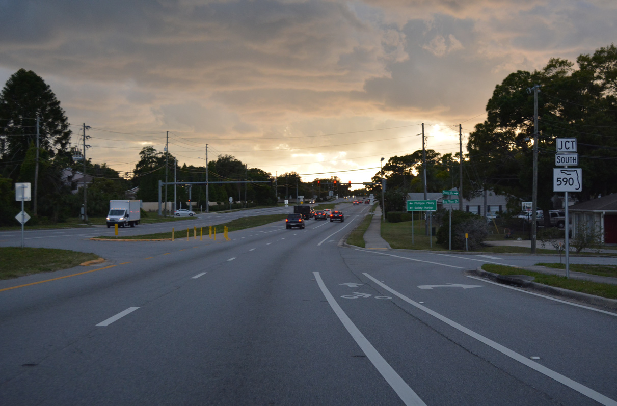
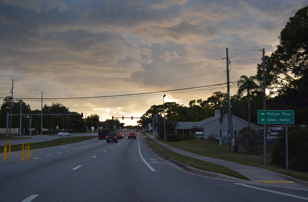
| Curving west into the city of Safety Harbor, SR 580 approaches the north end of SR 590 (Phillippe Parkway). 04/20/19 |
|
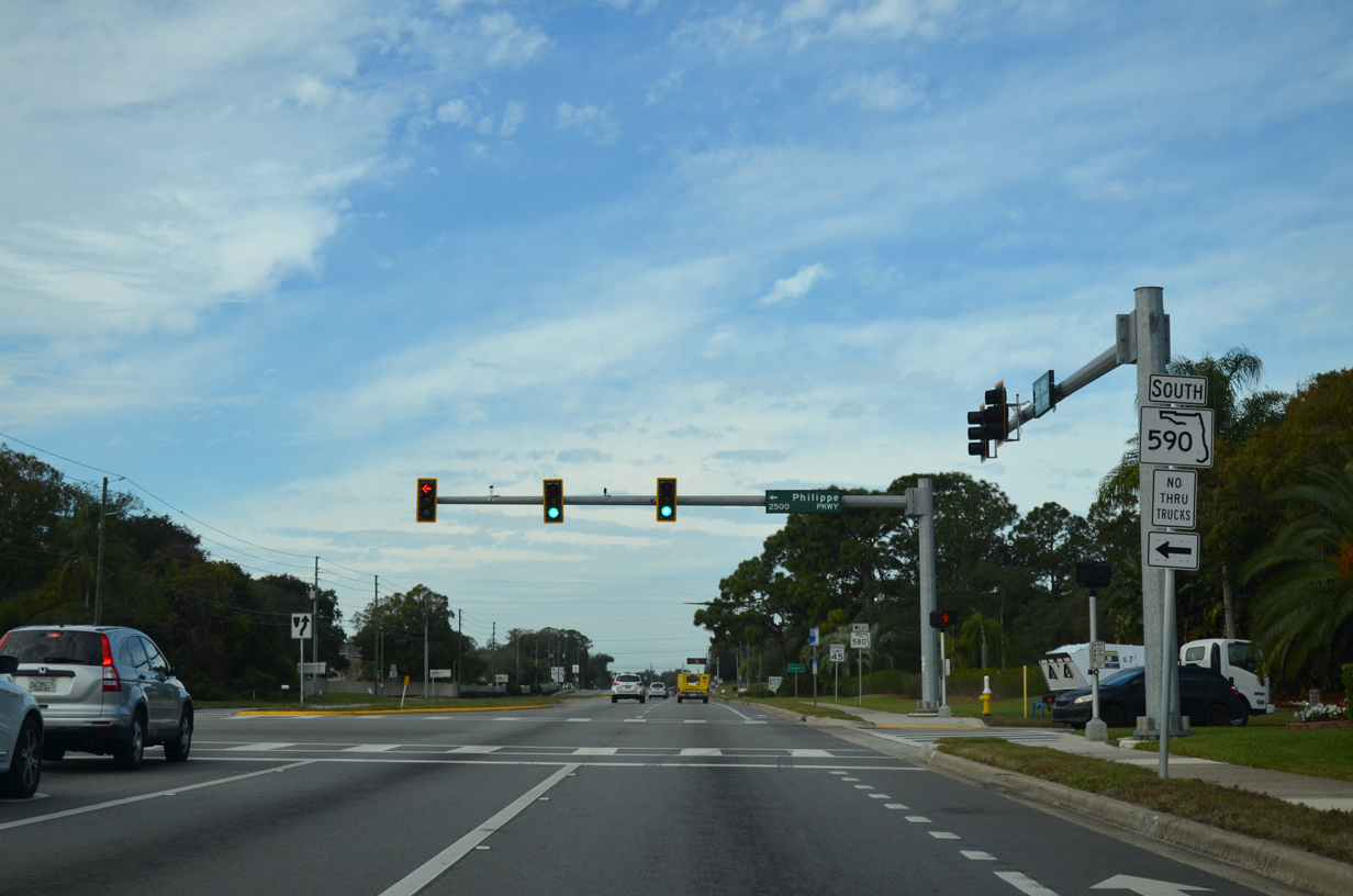
| The northern segment of SR 590 follows Philippe Parkway 1.6 miles south to Enterprise Road and Philippe Park, where city maintenance takes over to Downtown Safety Harbor. The southern section of SR 580 leads 6.8 miles west from 10th Avenue S to Coachman and Clearwater. 01/14/16 |
|
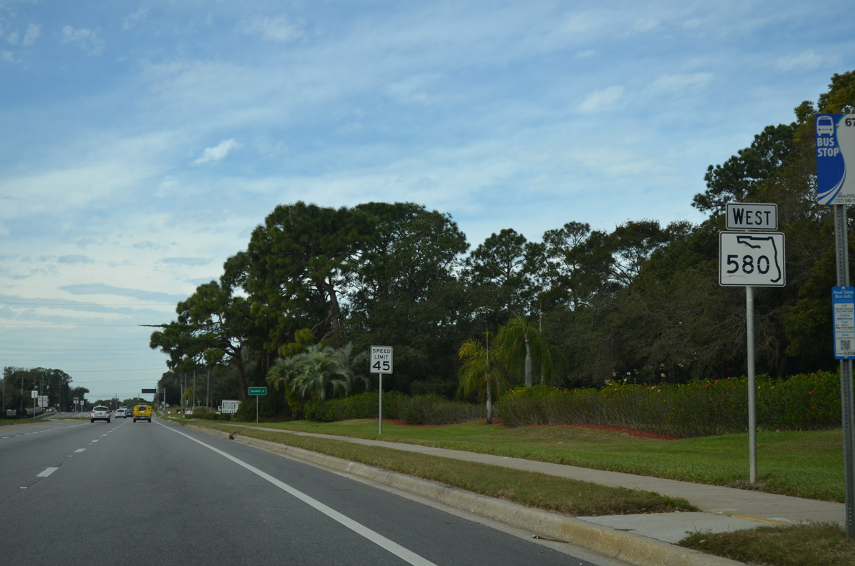
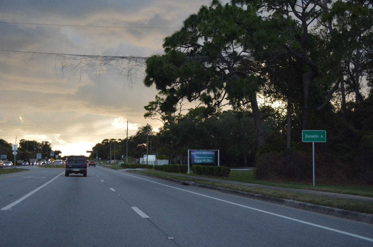
| Continuing west from SR 590, SR 580 travels six more miles to U.S. 19 Alternate (Broadway) at the Dunedin city center. 01/14/16, 04/20/19 |
|
| A second reassurance marker stands along SR 580 westbound in Safety Harbor ahead of Bay Hills Boulevard south. 01/14/16 |
|
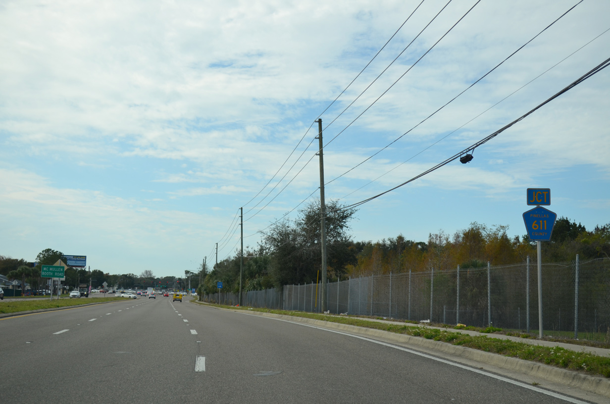
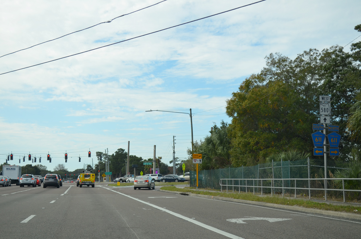
| Angling a half mile southward, SR 580 straddles the Clearwater city line to County Road 611 (McMullen-Booth Road). 01/14/16 |
|
| CR 611 (McMullen-Booth Road) constitutes a one of the two main arterial routes connecting Clearwater with Pasco County to the north. Heading south along the Safety Harbor city line, CR 611 leads to the Bayside Bridge and St. Pete-Clearwater International Airport (PIE). 01/14/16 |
|
| Confirming marker posted after CR 611 (McMullen Booth Road). 01/14/16 |
|
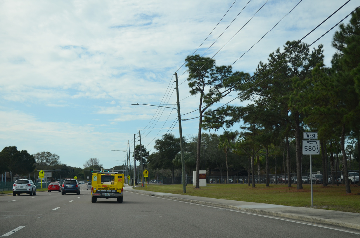
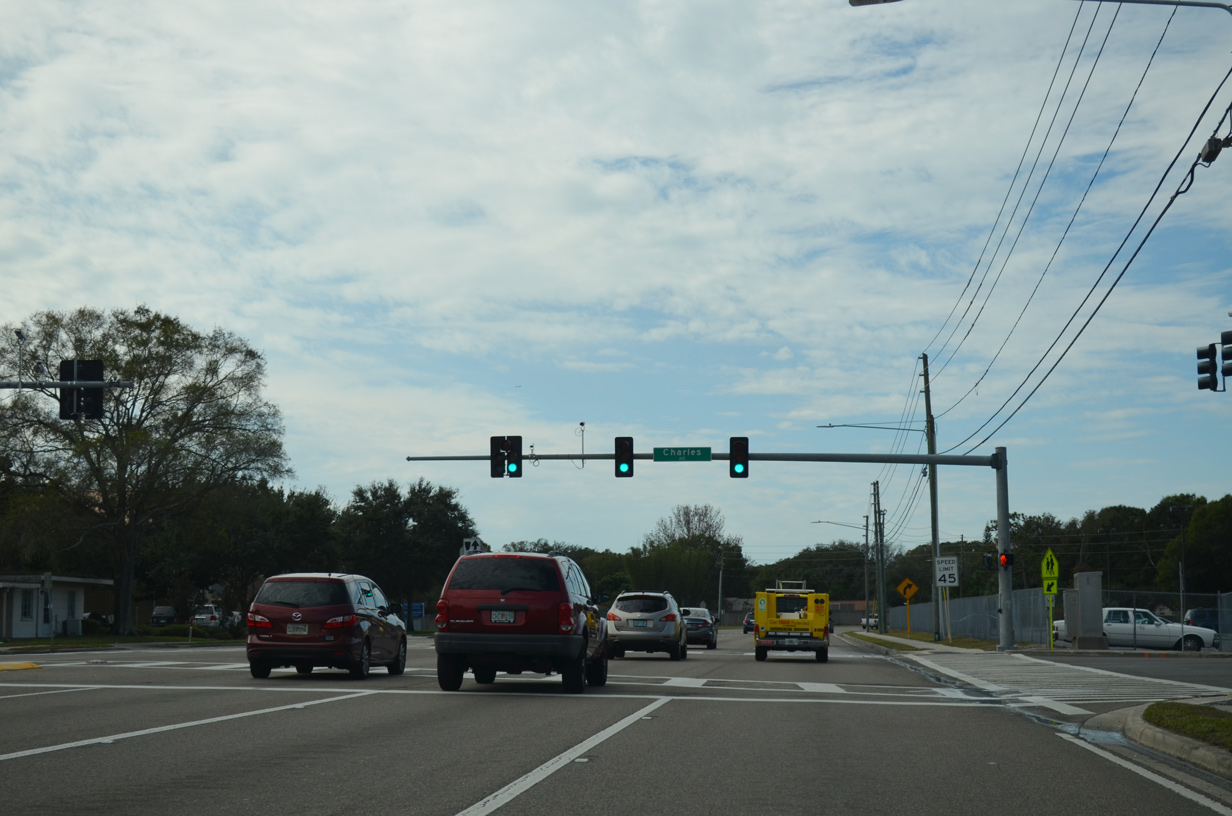
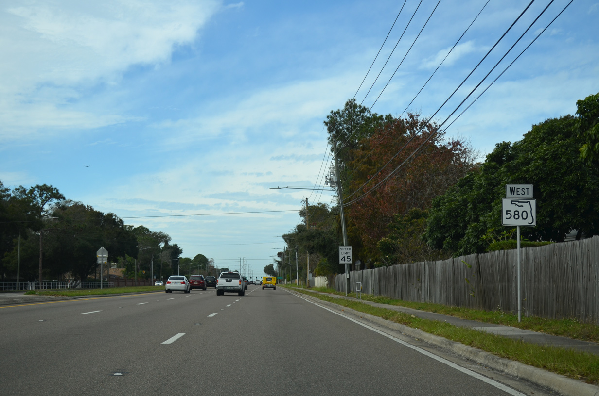
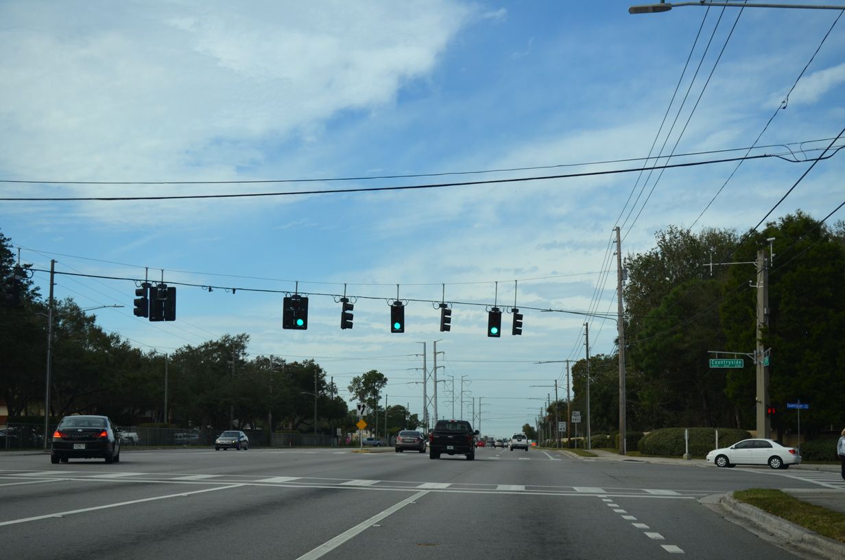
| Charles Street intersects SR 580 across from Countryside High School. 01/14/16 |
|
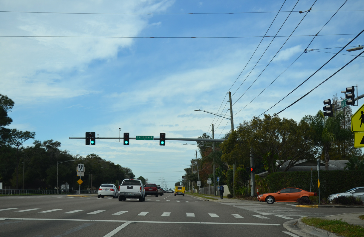
| Resuming a westward course, SR 580 intersects Landmark Drive, a residential boulevard north to SR 586 (Curlew Road) and south to Chautaqua Park East. 01/14/16 |
|
| Countryside Boulevard winds south from Countryside Country Club to SR 580 and west to Westfield Countryside Mall. 01/14/16 |
|
| SR 580 runs along the north side of Westfield Countryside Mall between Countryside Boulevard and U.S. 19. 01/14/16 |
|
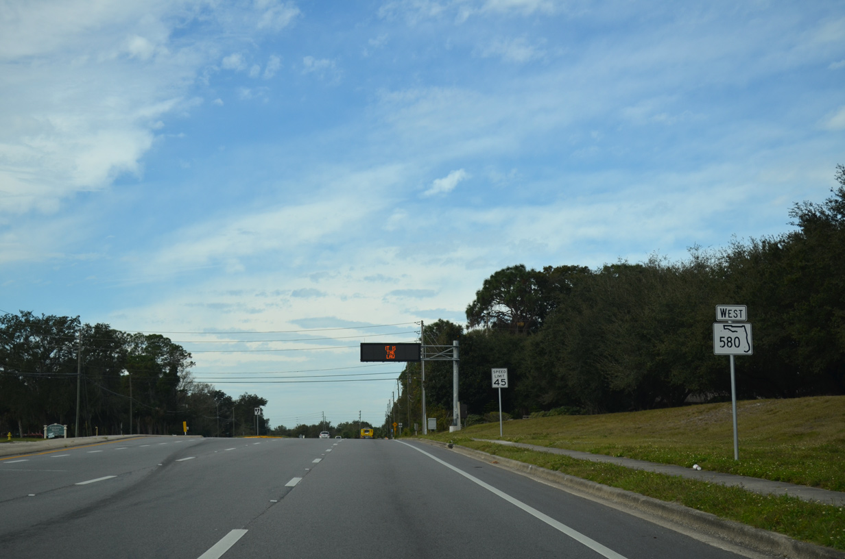
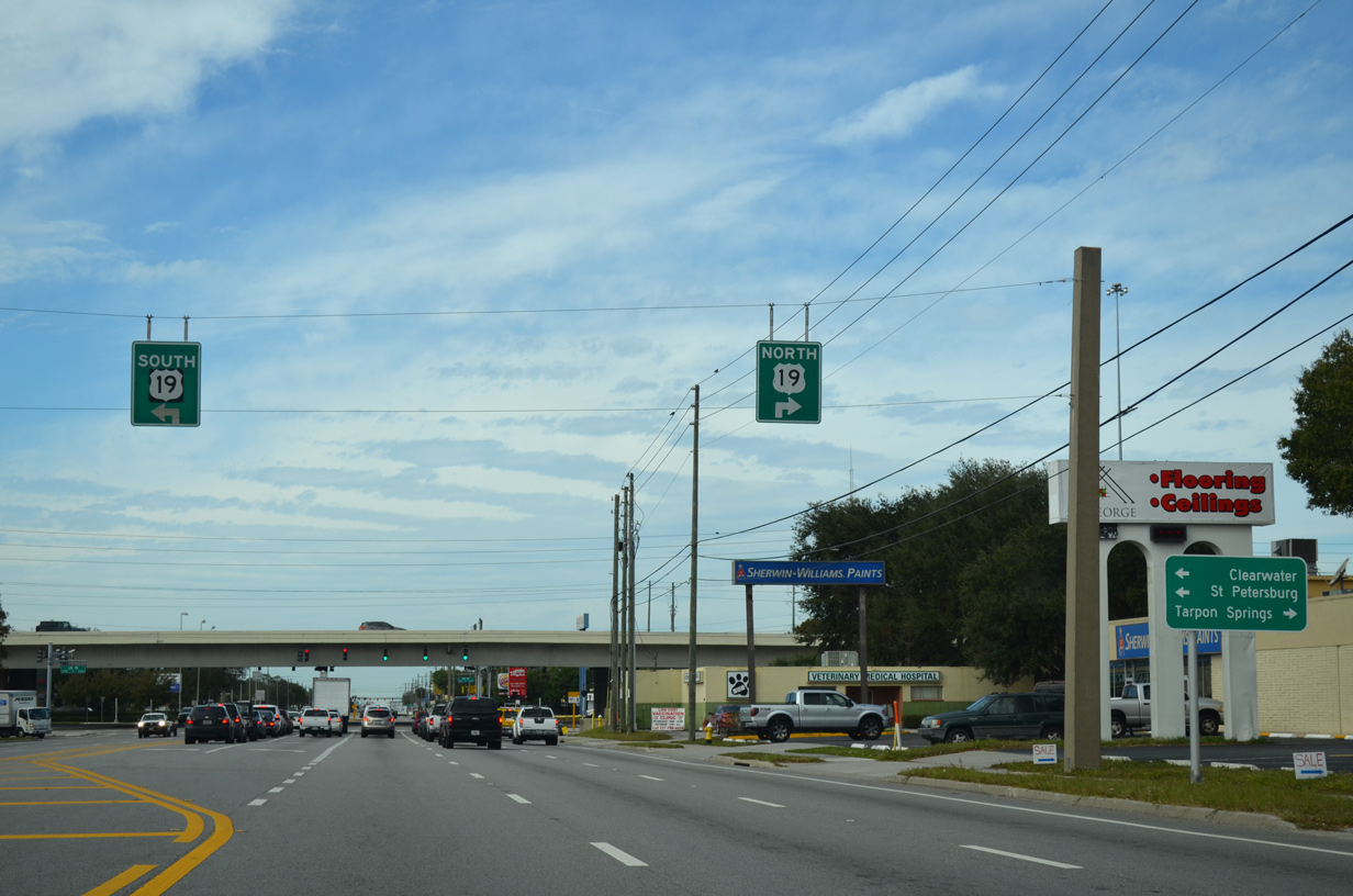
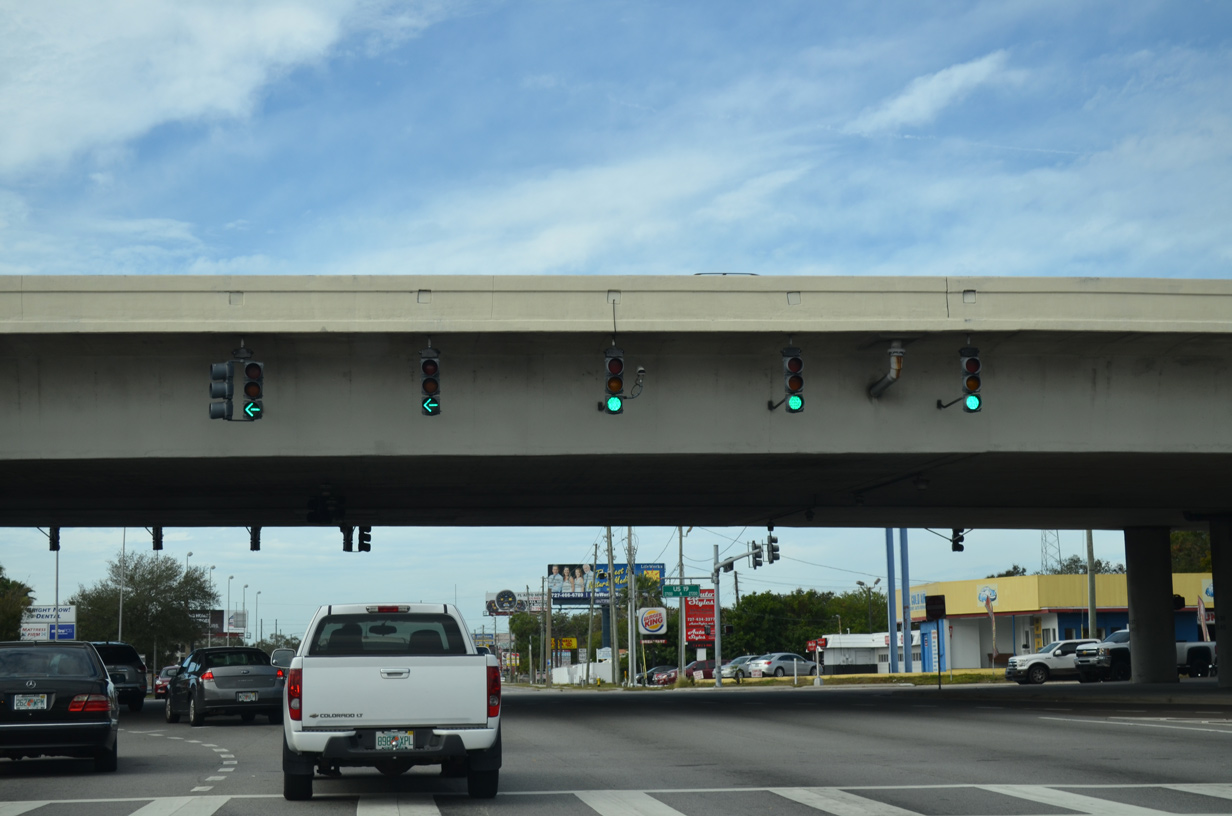
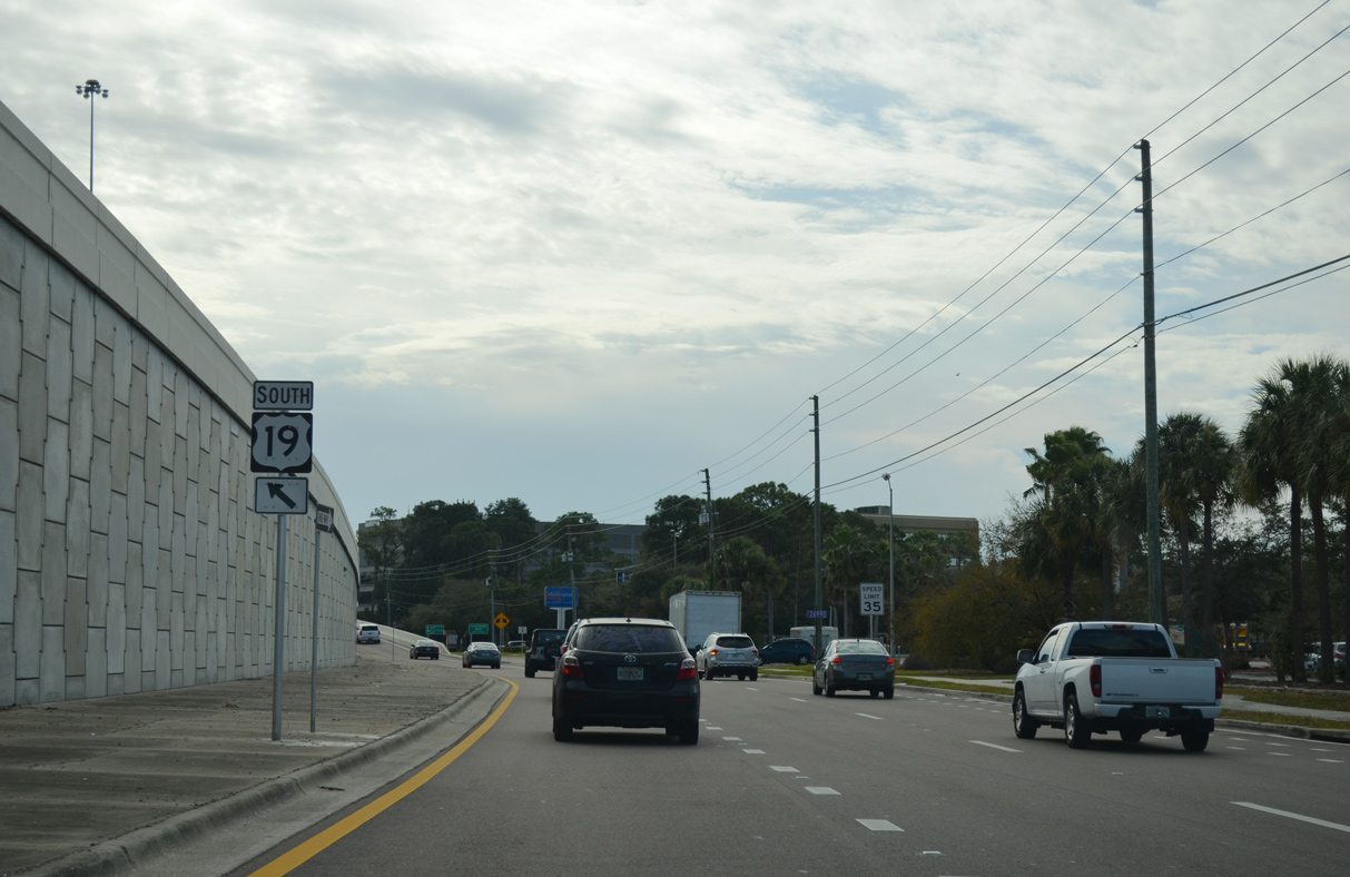
| A single point urban interchange (SPUI) joins SR 580 with U.S. 19 just beyond Countryside mall. U.S. 19 constitutes an urban freeway with frontage roads north to Evans Road at Palm Harbor and south to Pinellas Park. 01/14/16 |
|
| Following the west side frontage road for U.S. 19 to the southbound entrance ramp for Largo, Pinellas Park and St. Petersburg. 01/14/16 |
|
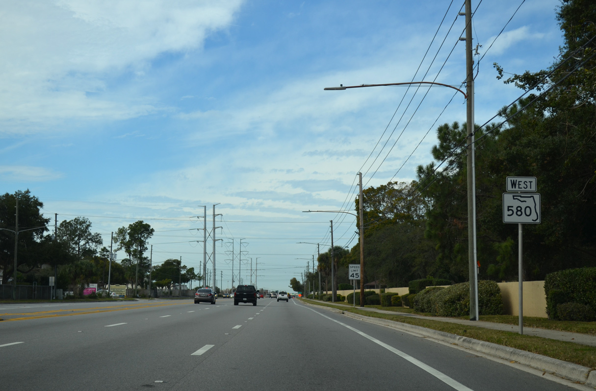
| SR 580 straddles the Clearwater / Dunedin city line west to Belcher Road. 08/15/15 |
|
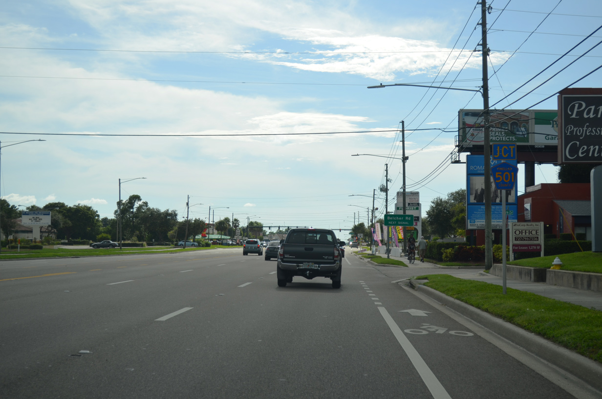
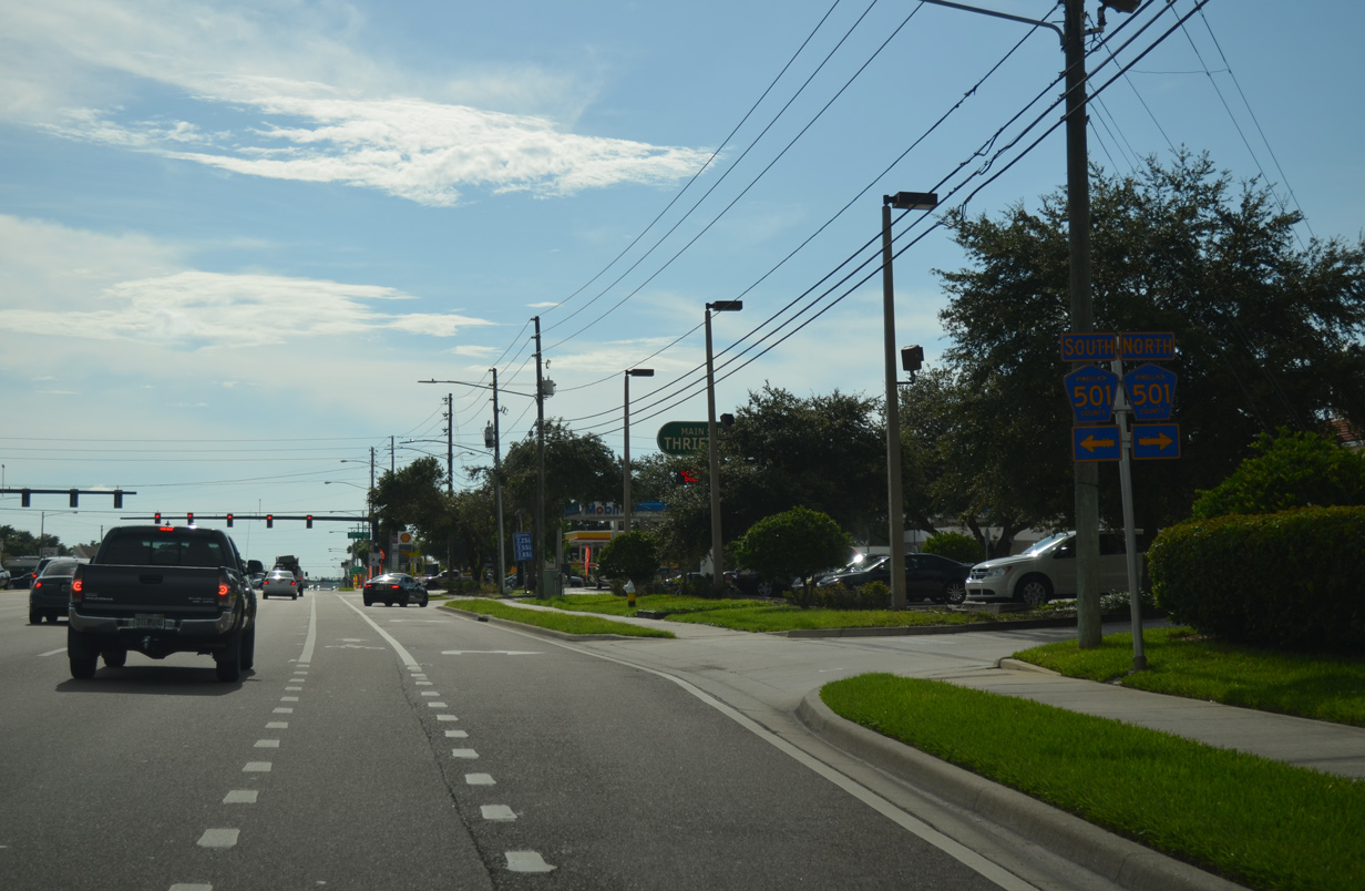
| Approaching Pinellas County Road 501 (Belcher Road) on SR 580 (Main Street) west. Belcher Road represents a four to six lane boulevard paralleling U.S. 19 between Pinellas Park and Tarpon Springs. 08/15/15 |
|
| Belcher Road (CR 501) travels north to Pinellas County Road 880 (Klosterman Road) at Tarpon Springs. 08/15/15 |
|
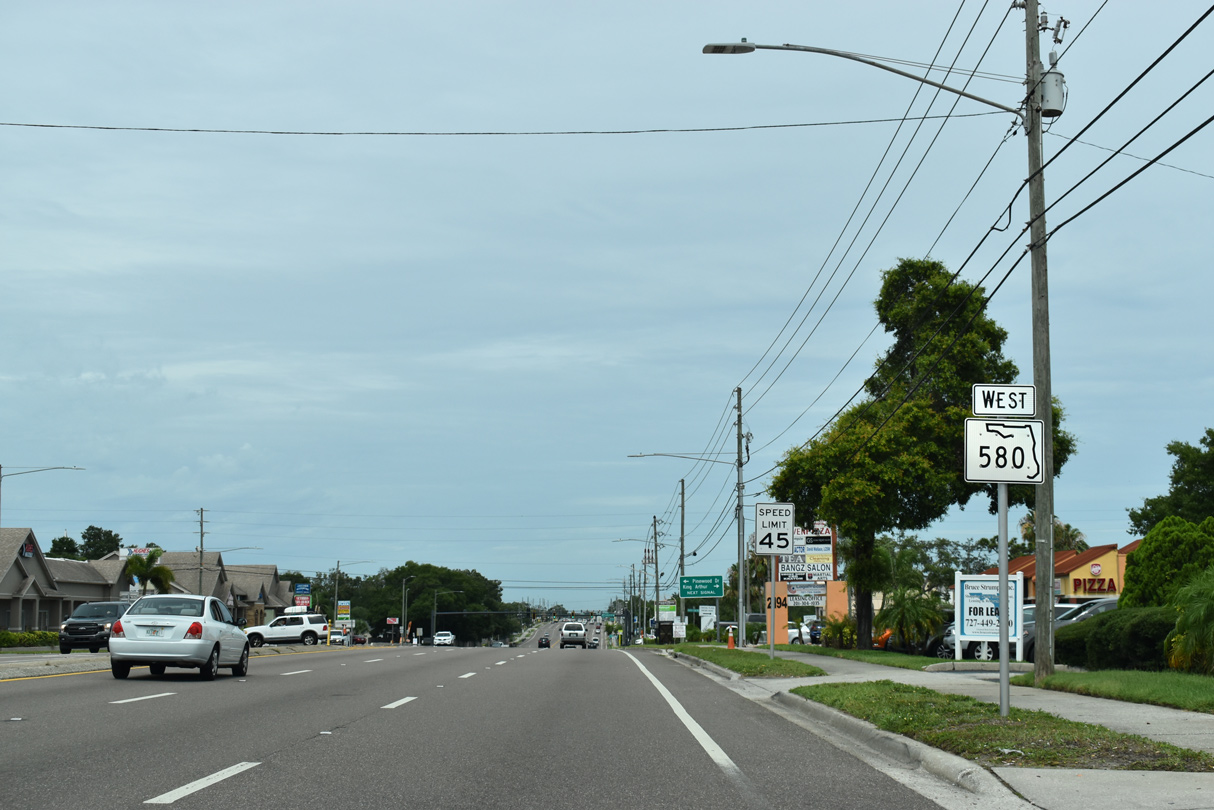
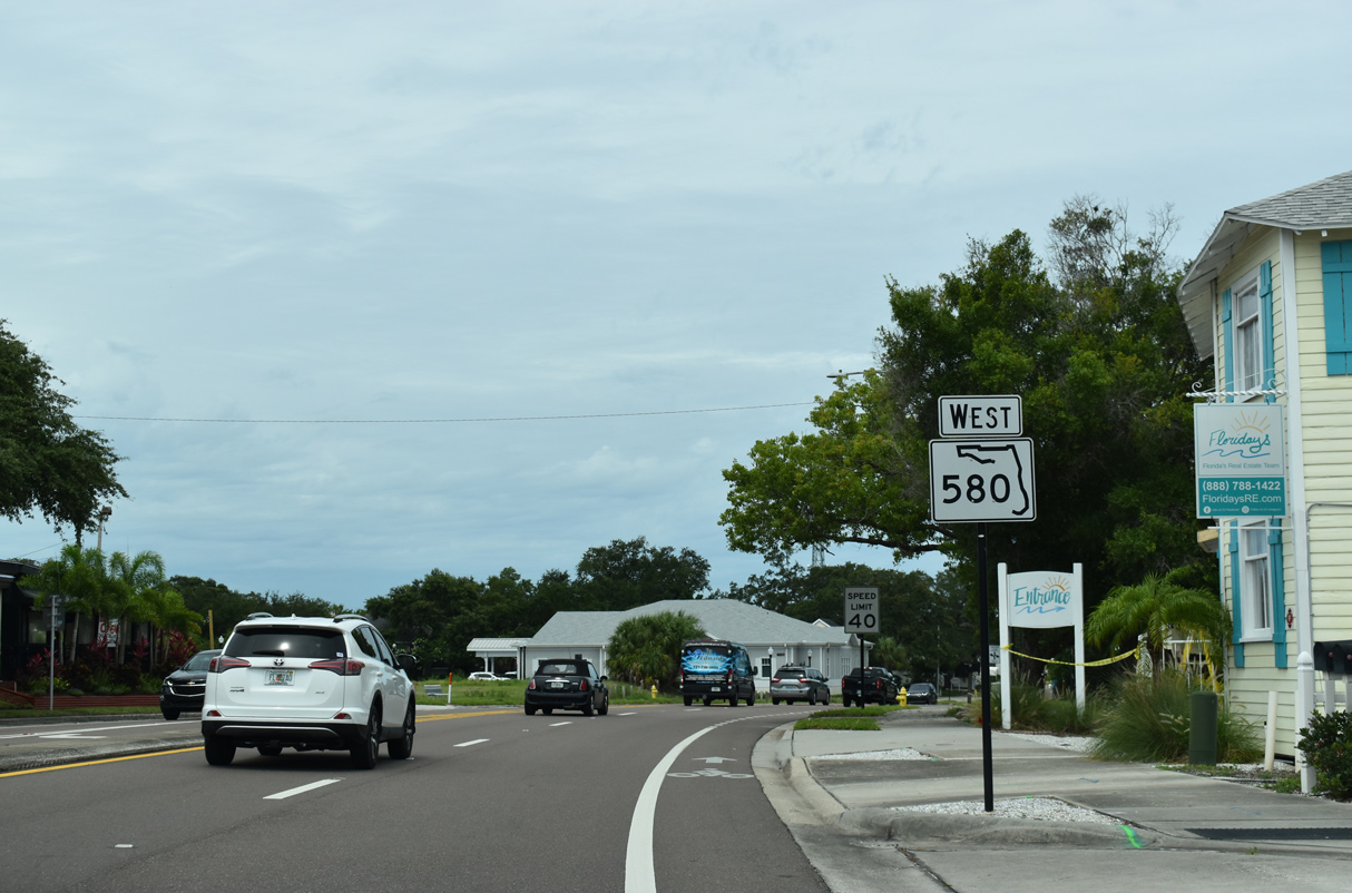
| Confirming marker posted for SR 580 (Main Street) west beyond Belcher Road. The six lane arterial straddles the Clearwater city line for another 0.4 miles before fully entering Dunedin. 06/05/20 |
|
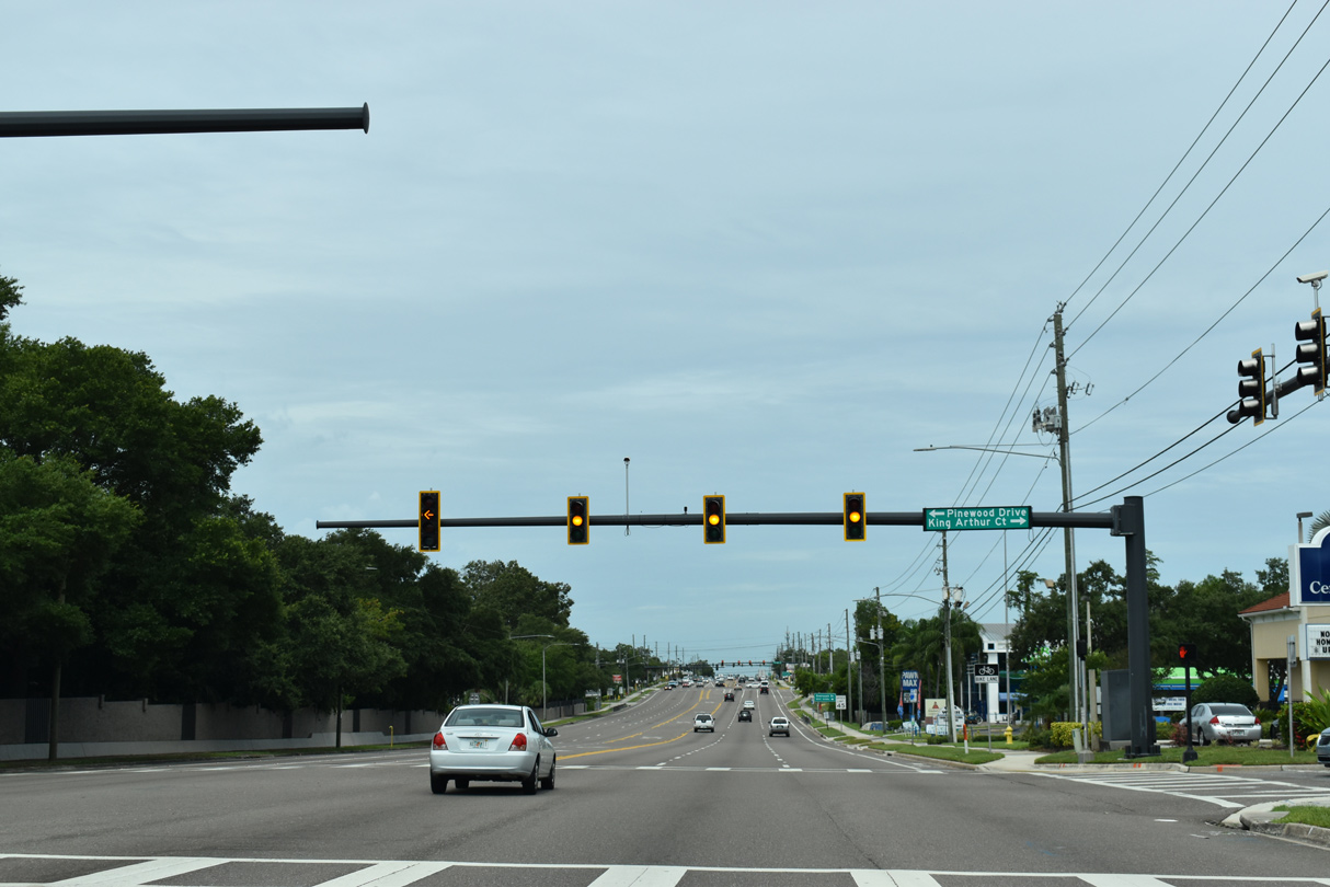
| The succeeding traffic light along SR 580 (Main Street) west is with King Arthur Court north and Pinewood Drive south. 06/05/20 |
|
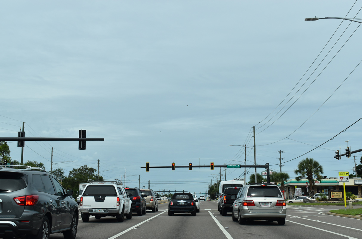
| SR 580 (Main Street) crosses Jerry Branch ahead of Overcash Road, a residential street leading north to Cottonwood Terrace in east Dunedin. 06/05/20 |
|
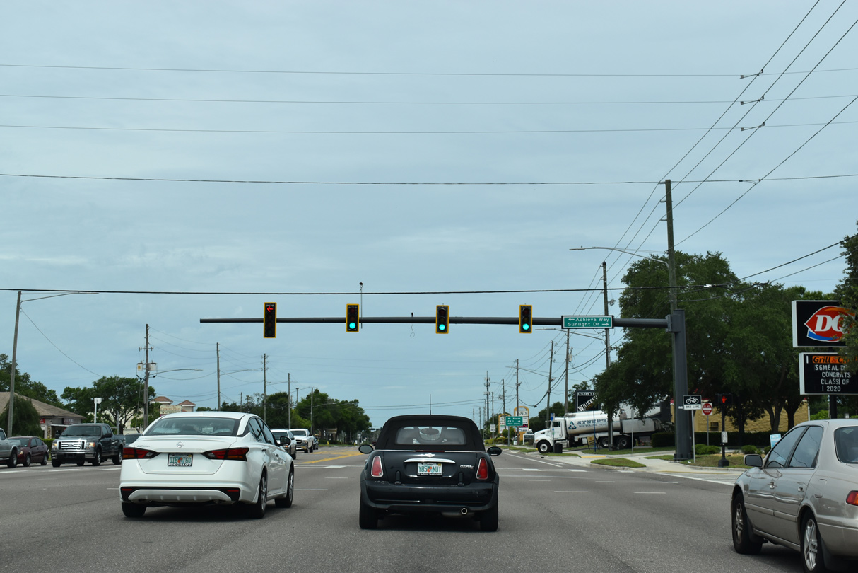
| Achieva Way (formerly Virginia Street) arcs southwest from SR 580 (Main Street) to become CR 632 west of Keene Road. Sunlight Drive serves the adjacent Amberlea subdivision. 06/05/20 |
|
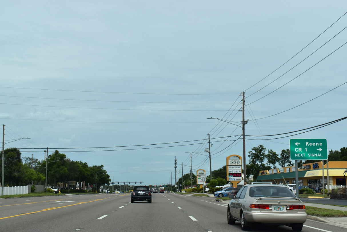
| CR 1 constitutes three segments through Pinellas County. SR 580 meets the south end of the northern section along Keene Road and Omaha Street to CR 776 (Nebraska Avenue) in Palm Harbor. The portion of CR 1 between nearby San Christopher Drive and Nebraska Avenue was U.S. 19 to the 1940s. 06/05/20 |
|
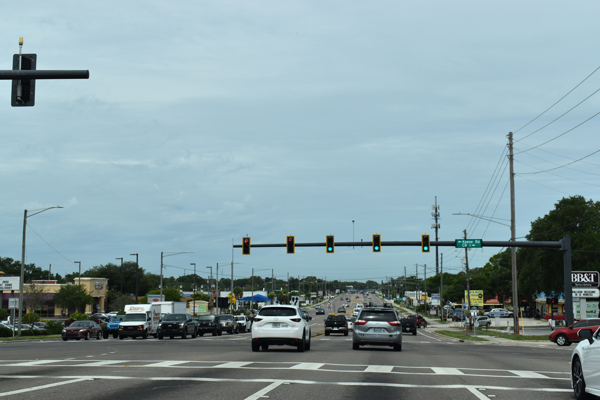
| Keene Road continues south from SR 580 (Main Street) to Virginia Street (CR 632), where CR 1 resumes. Keene Road continues south into Clearwater with CR 1 ending at Flagler Drive. The southern leg of CR 1 follows Keene and Starkey Roads beyond SR 60 (Gulf to Bay Boulevard). 06/05/20 |
|
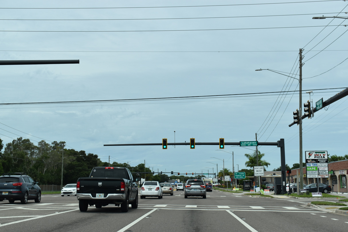
| SR 580 (Main Street) west at Lakehaven Drive. Street blades for Lakehaven Drive vary, referencing the residential street also as Lake Haven Road and Lake Haven Drive. 06/05/20 |
|
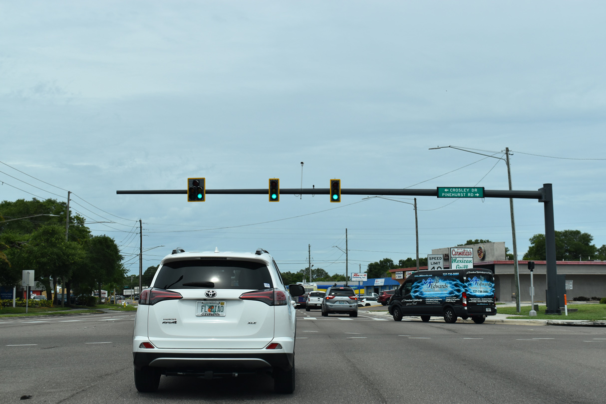
| West of Keene Road is the signalized intersection with Pinehurst Road north and Crosley Drive south. Pinehurst joins SR 580 with Michigan Boulevard in north Dunedin; Crosley Drive is a subdivision street. 06/05/20 |
|
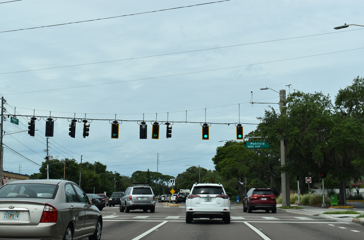
| Patricia Avenue stems south from SR 580 (Main Street) as a major collector 2.98 miles to Palmetto Street and Highland Avenue in Clearwater. 06/05/20 |
|
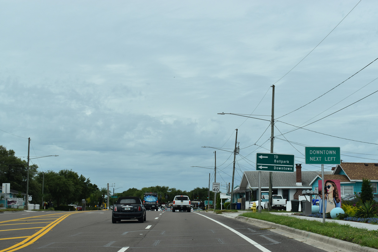
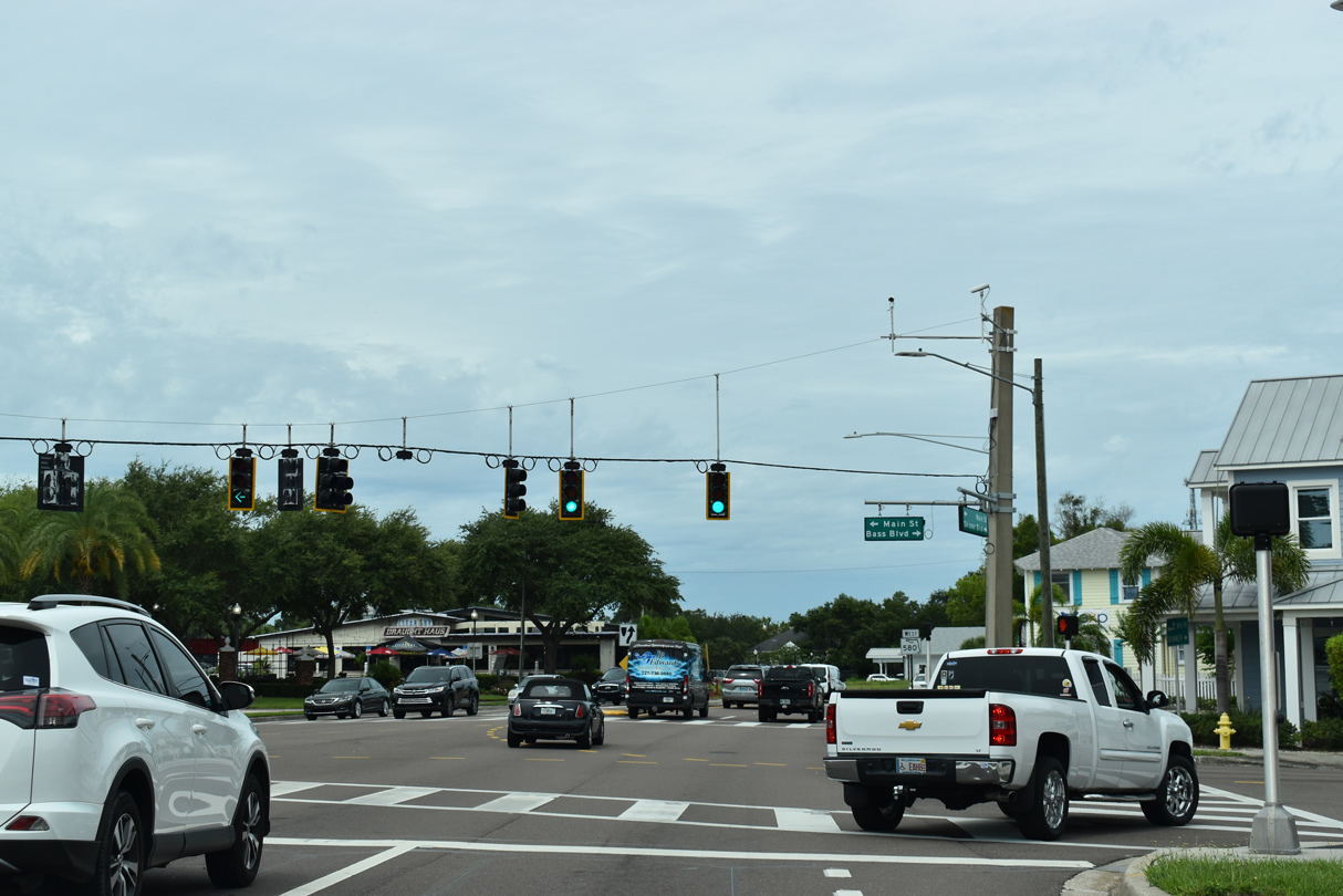
| State Road 580 splits with Main Street at Bass Boulevard for Skinner Boulevard west. Main Street continues southwest into Downtown Dunedin while Bass Boulevard enters from a residential area to the north. 06/05/20 |
|
| Main Street branches southwest to Virginia Avenue (CR 632) and Downtown as the pre-1989 alignment of State Road 580. This span wire assembly was removed by 2018. 01/02/06 |
|
| SR 580 shifts westward from Main Street with two lanes onto Skinner Boulevard. Mease Dunedin Hospital lies just to the south on Main Street. 06/05/20 |
|
| SR 580 reassurance marker posted west of the split with Main Street along Skinner Boulevard. 06/05/20 |
|
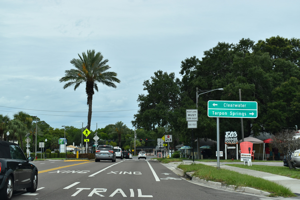
| SR 580 (Skinner Boulevard) concludes west at U.S. 19 Alternate (Broadway) north of Downtown Dunedin. 06/05/20 |
|
| U.S. 19 Alternate follows Broadway south to Main Street and Edgewater Drive from Main Street to Clearwater. 06/05/20 |
|
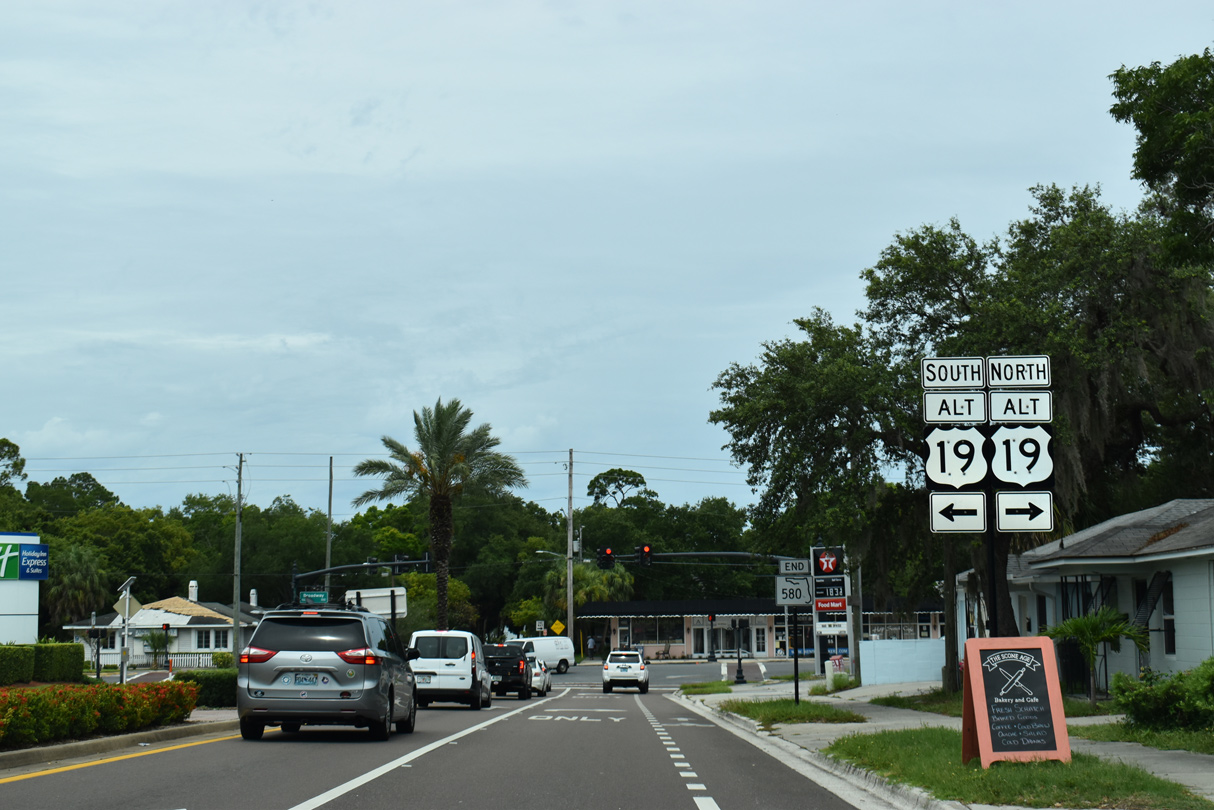
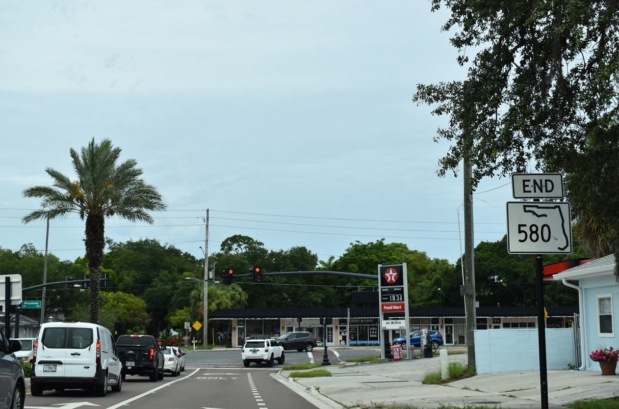
| End SR 580 shield posted along Skinner Boulevard west at Broadway. U.S. 19 Alternate north continues along Broadway to Bayshore Boulevard en route to Ozona and Palm Harbor. 06/05/20 |
Page Updated 03-24-2021.