

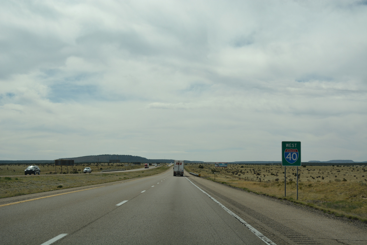
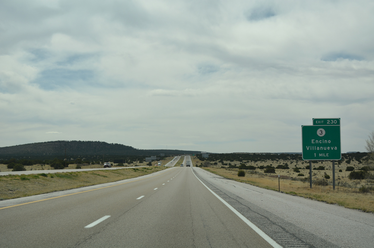
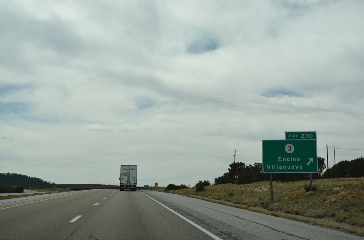
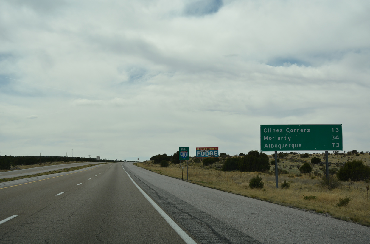
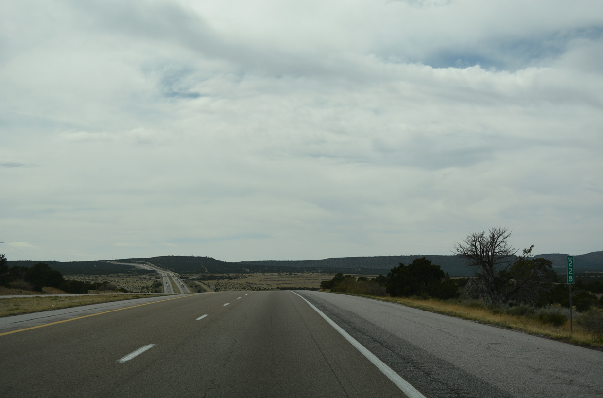
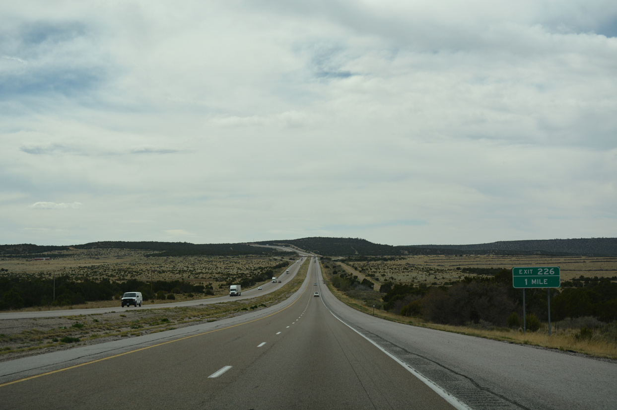
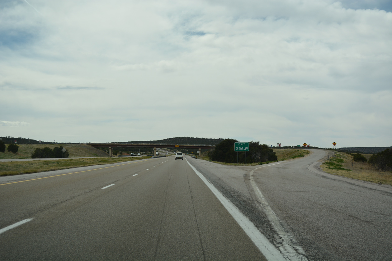
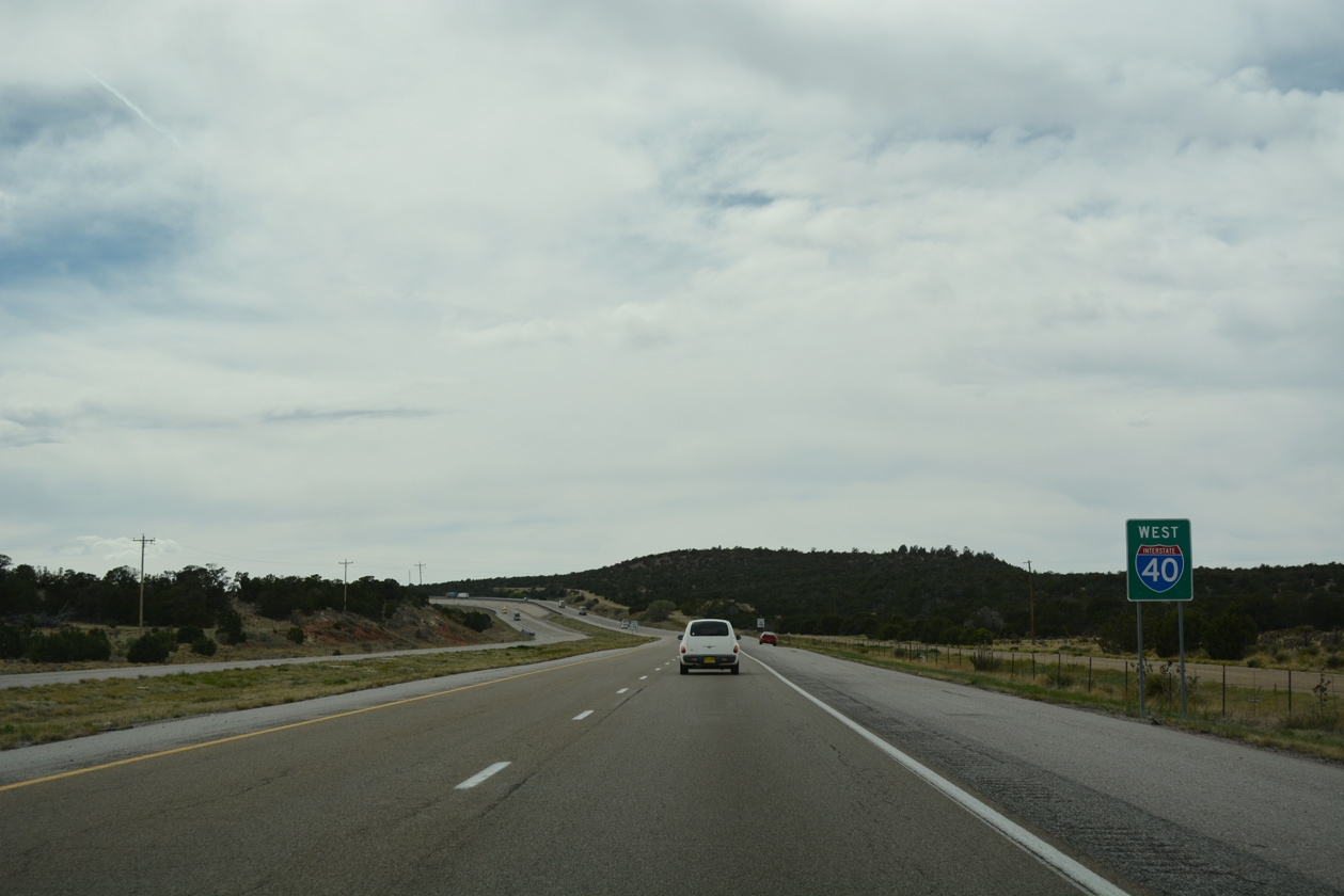
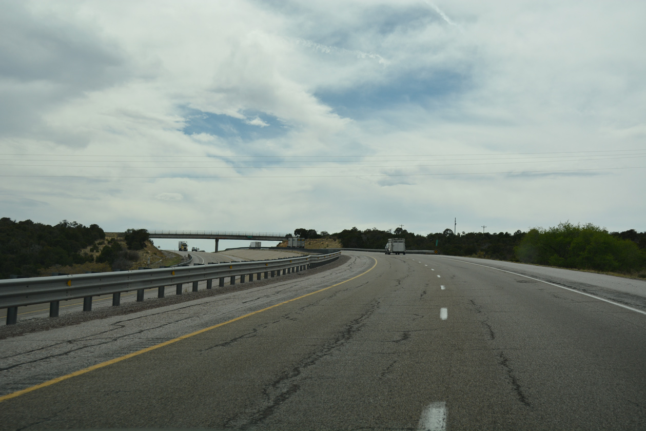
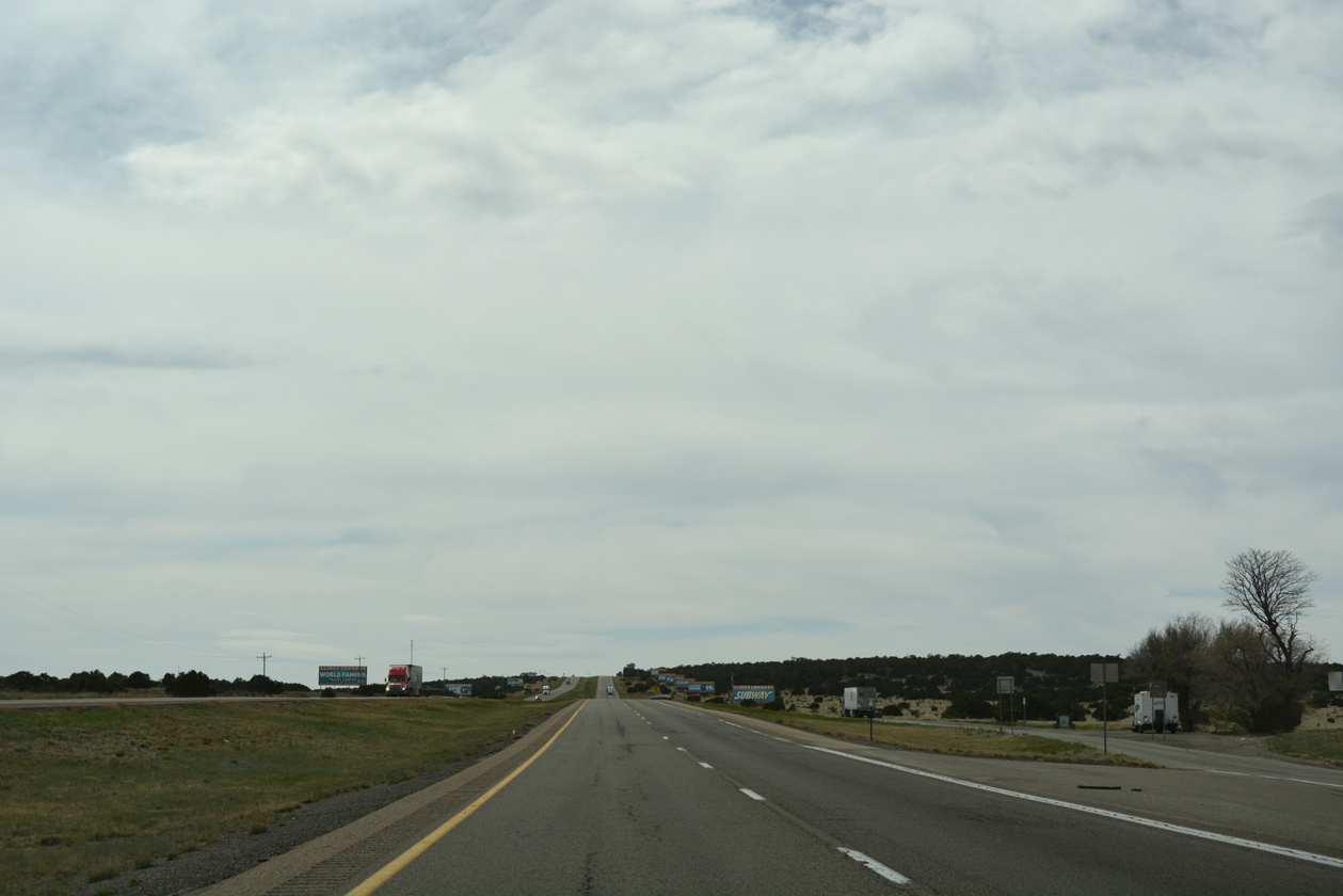
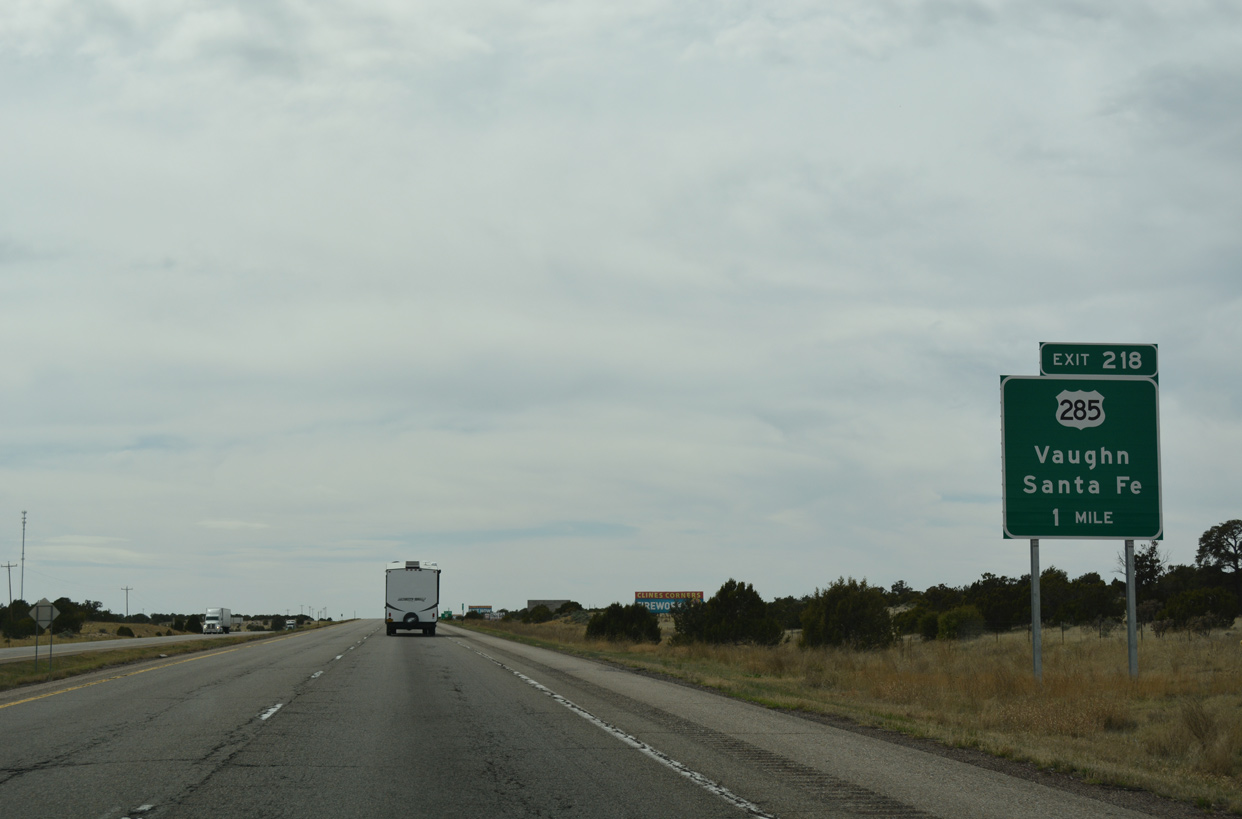
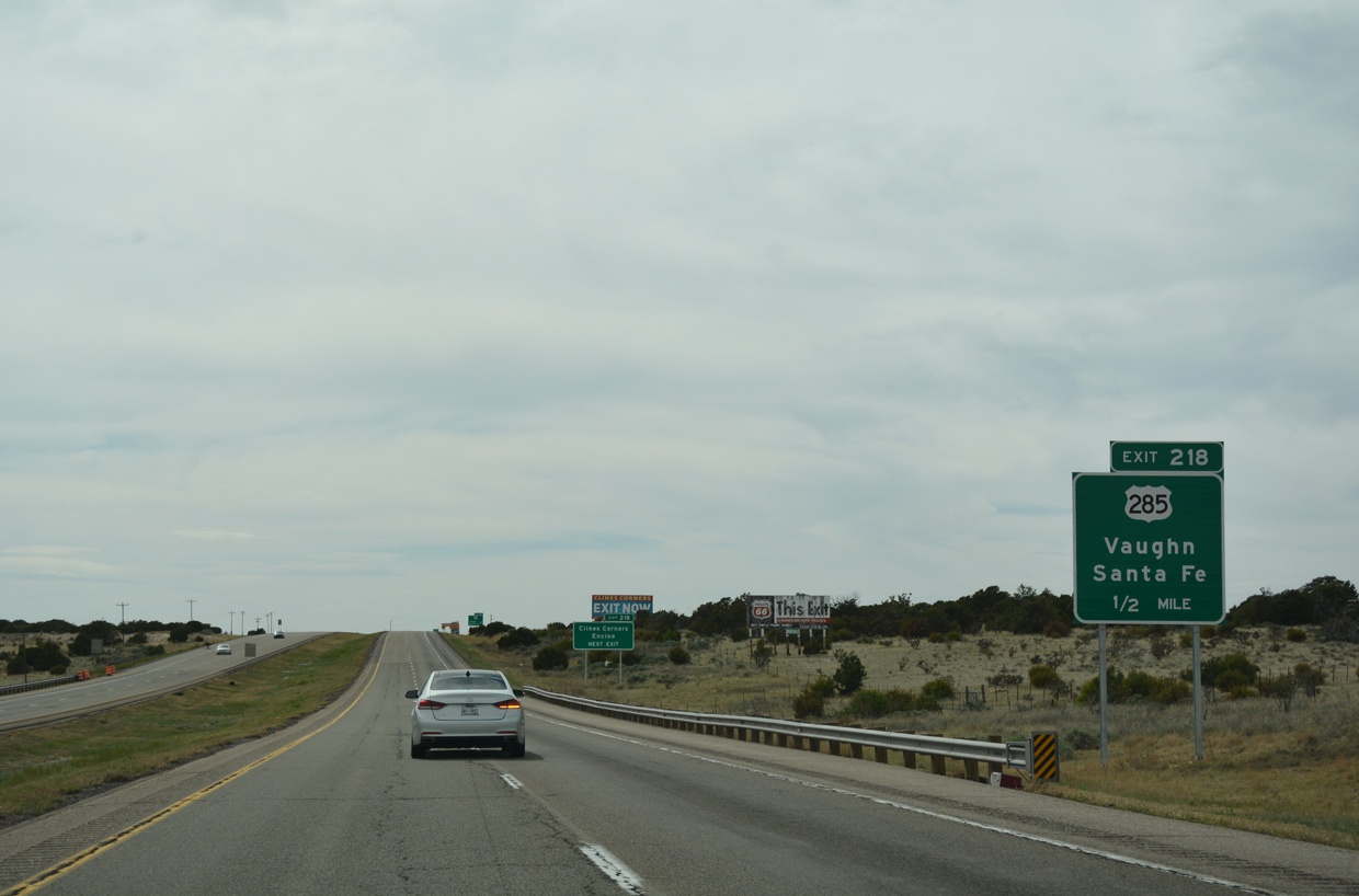
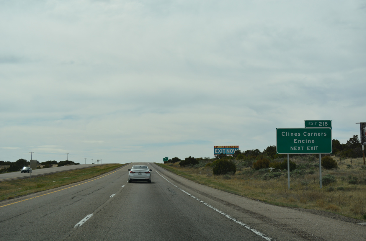
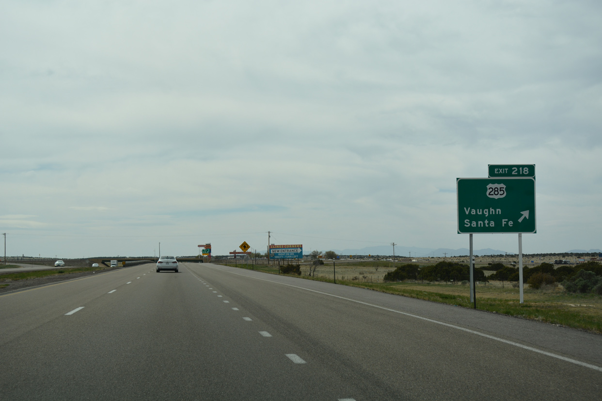
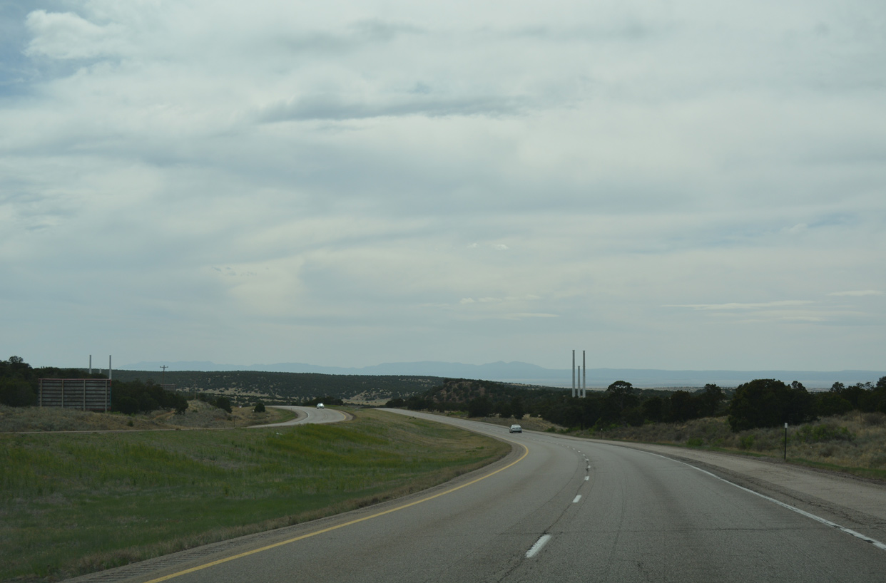
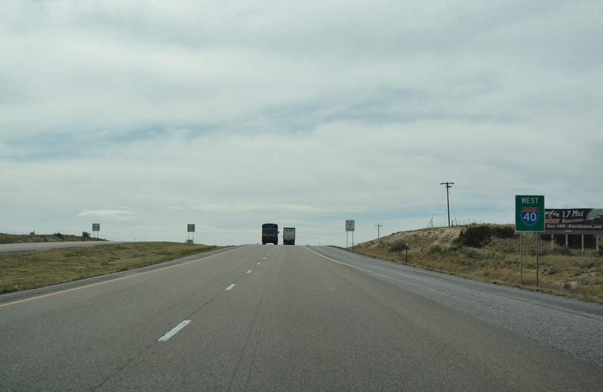
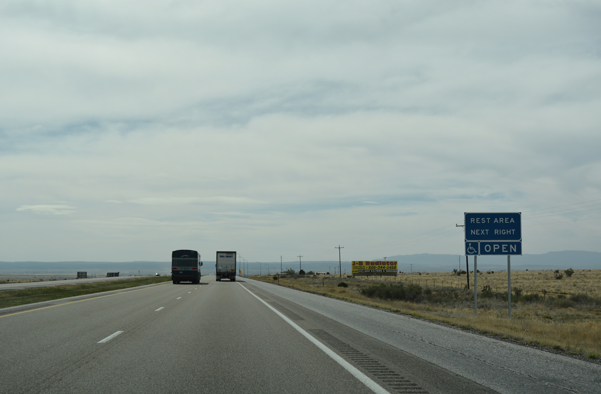
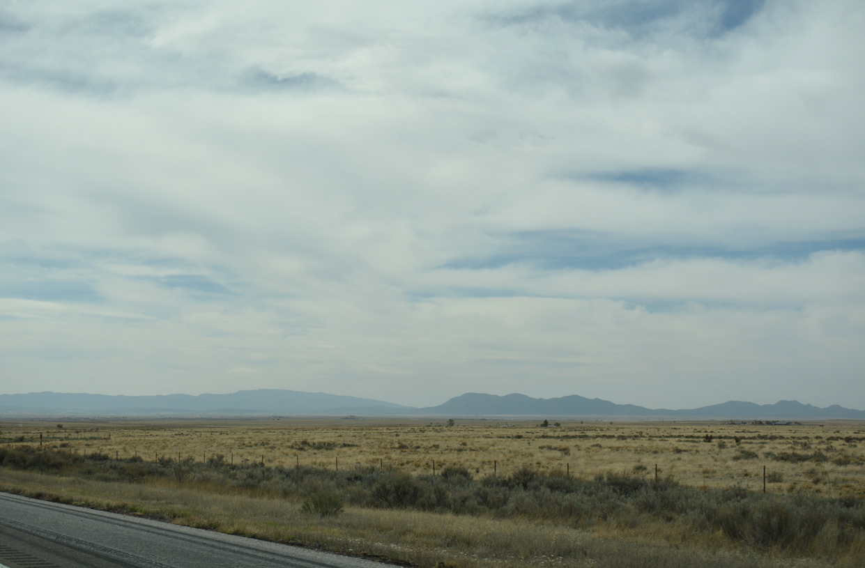
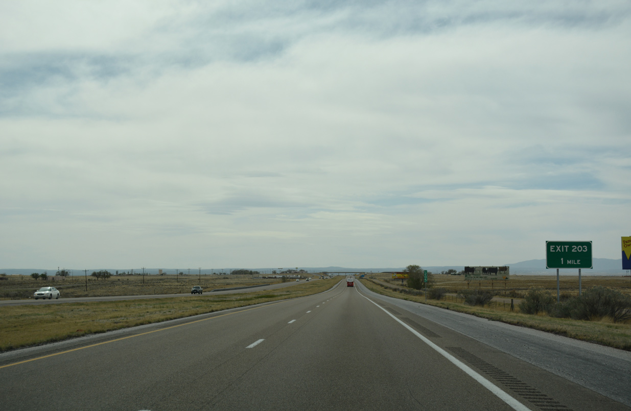
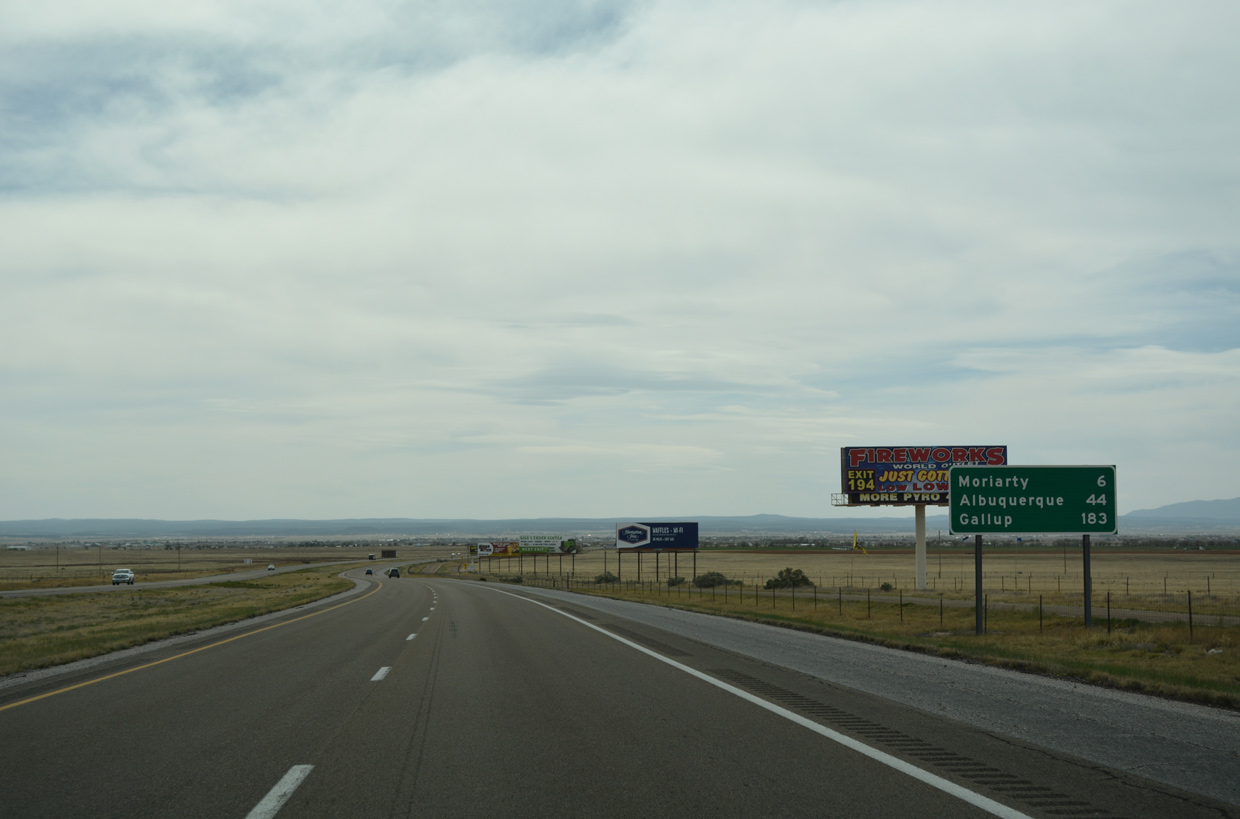
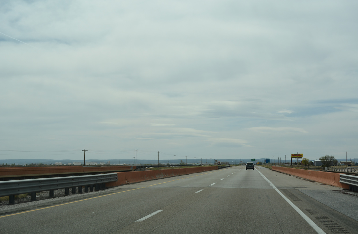
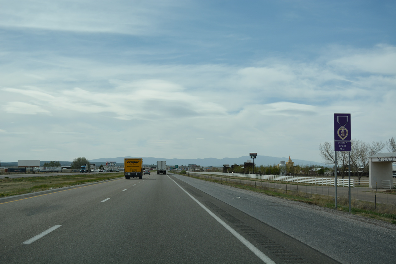
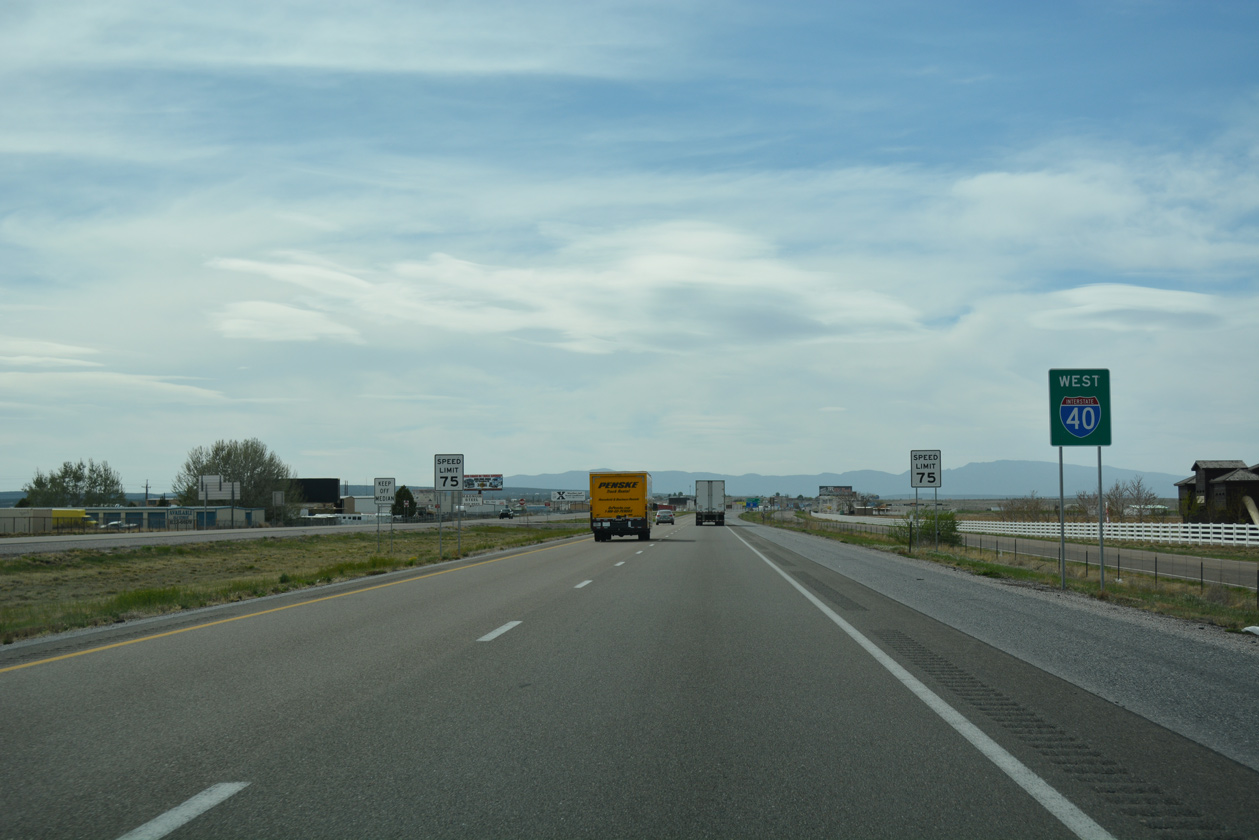
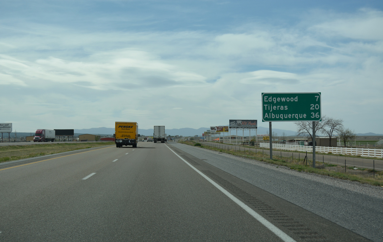
Interstate 40 overlays Historic U.S. 66 across northern reaches of Torrance County. The rural freeway traverses open ranch land and high desert west from Palma Hill and Mesa Las Tapia to U.S. 285 at Clines Corners. Following a 408 mile course through the Land of Enchantment, U.S. 285 branches north from U.S. 60 at Encino and connects I-40 with Santa Fe via Interstate 25 to the northwest.
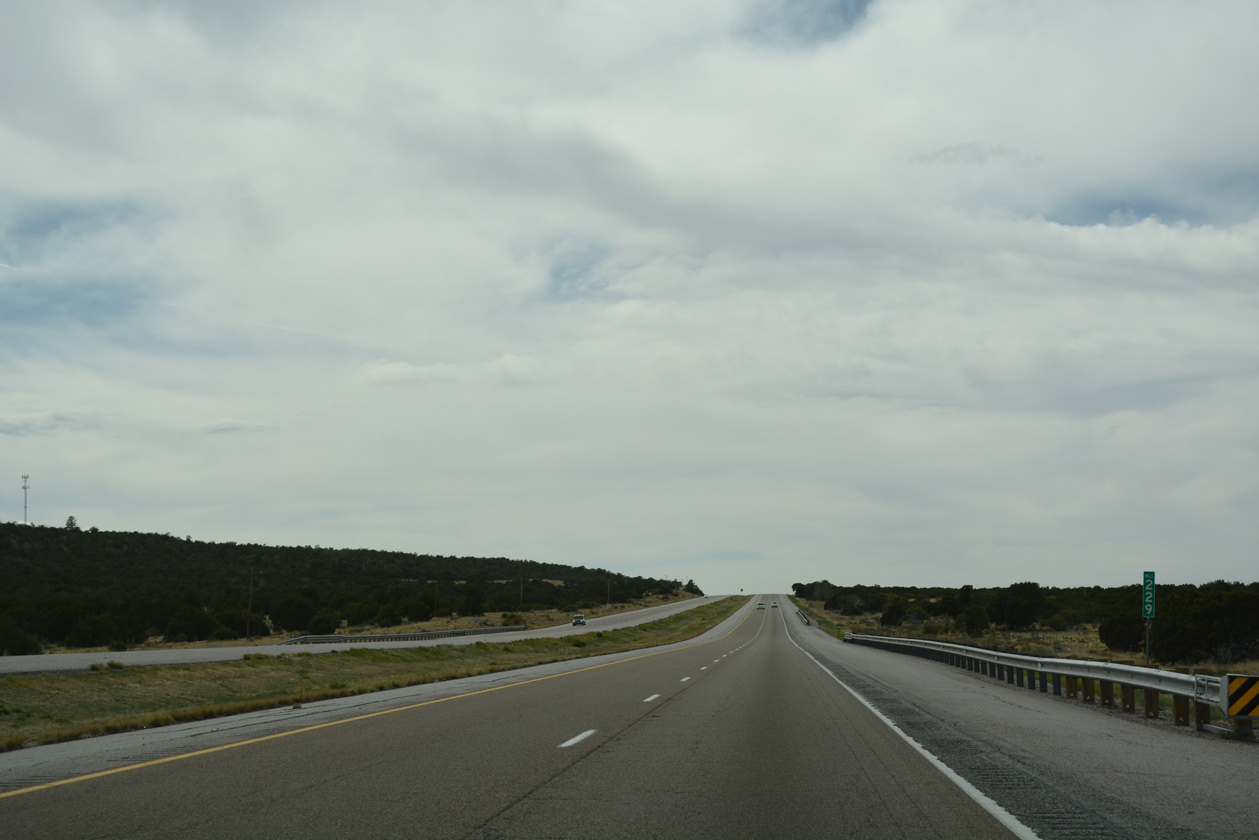
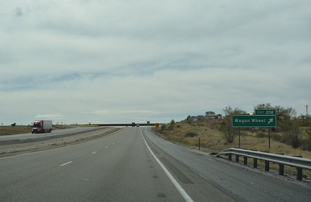
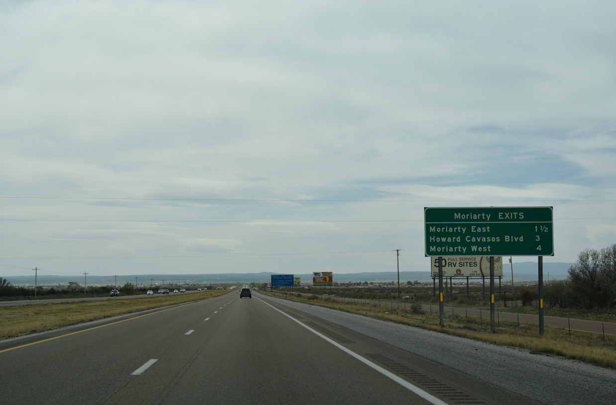
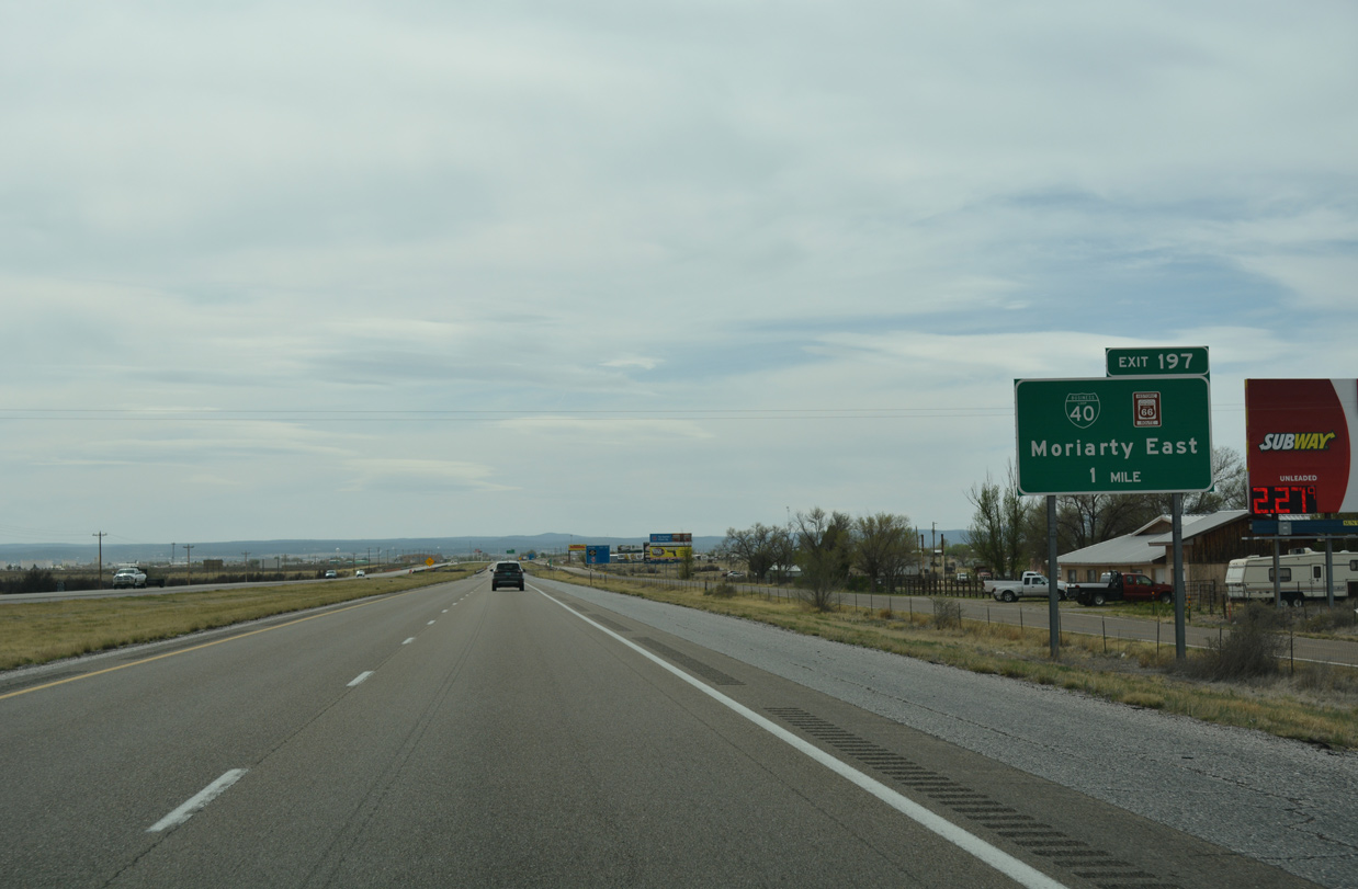
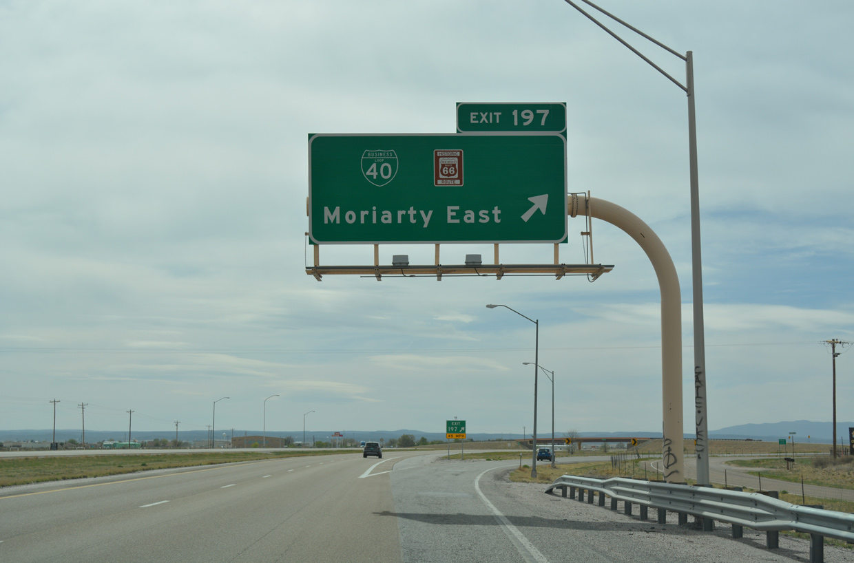
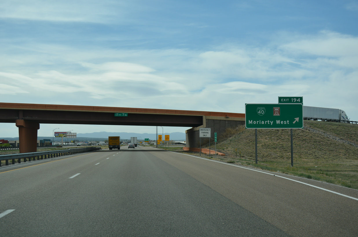
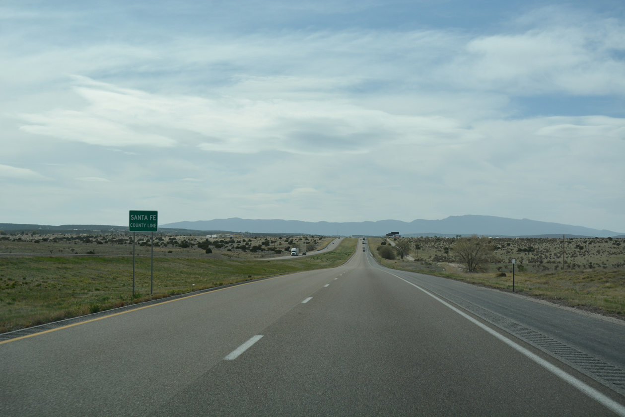
Entering the city of Moriarty at Exit 197, I-40 separates with the third business loop along westbound in the state. Business Loop I-40 parallels the freeway along Central Avenue (old U.S. 66) to NM 41 (5th Street) and the Moriarty city center. Turning northwest from Exit 195 and Moriarty, Old Highway 66 stays to the south of I-40 as both progress into southwestern Santa Fe County.
 West
West
04/24/17
04/24/17
04/24/17
04/24/17
04/24/17
04/24/17
04/24/17
04/24/17
04/24/17
04/24/17
04/24/17
04/24/17
04/24/17
04/24/17
04/24/17
04/24/17
04/24/17
04/24/17
04/24/17
04/24/17
04/24/17
04/24/17
04/24/17

04/24/17

04/24/17
04/24/17

04/24/17
04/24/17
04/24/17
04/24/17
04/24/17
04/24/17
04/24/17
04/24/17
04/24/17
04/24/17
04/24/17
04/24/17
04/24/17
04/24/17
04/24/17
04/24/17
04/24/17
04/24/17
04/24/17
04/24/17
04/24/17
04/24/17
04/24/17
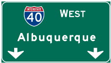

Photo Credits:
04/24/17 by AARoads
Connect with:
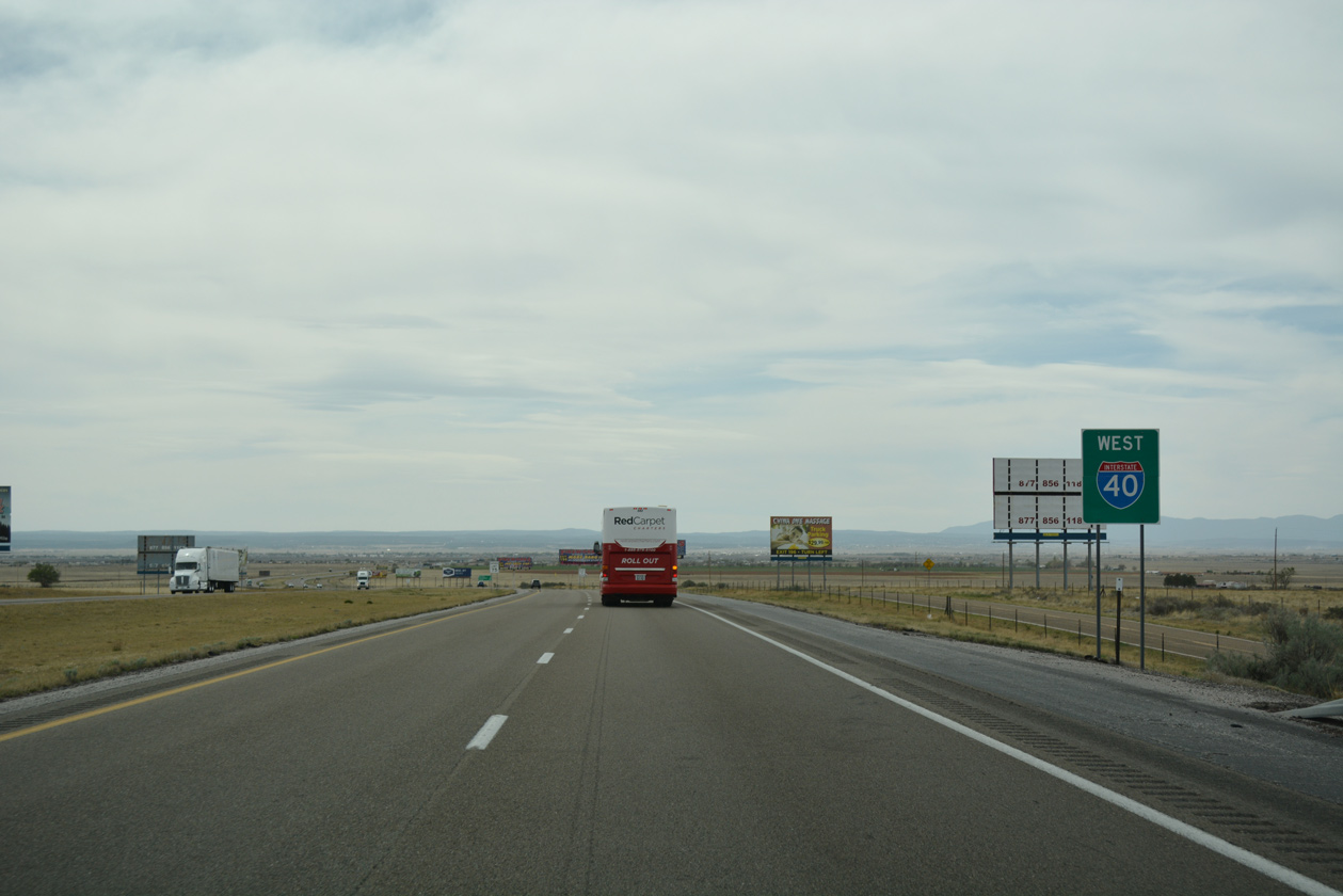
U.S. 285
Page Updated 06-10-2019.