|
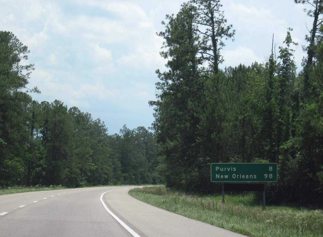
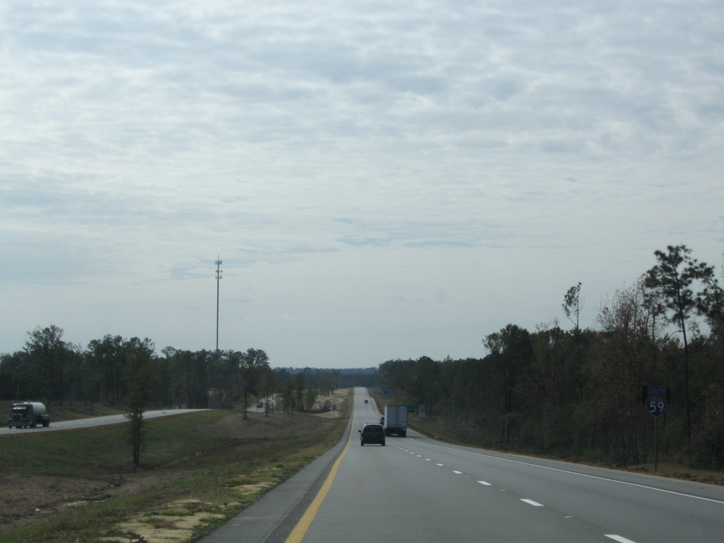
| Vacating the Hattiesburg area, Interstate 59 resumes along a rural course southward eight miles to Purvis. 06/02/10 |
|
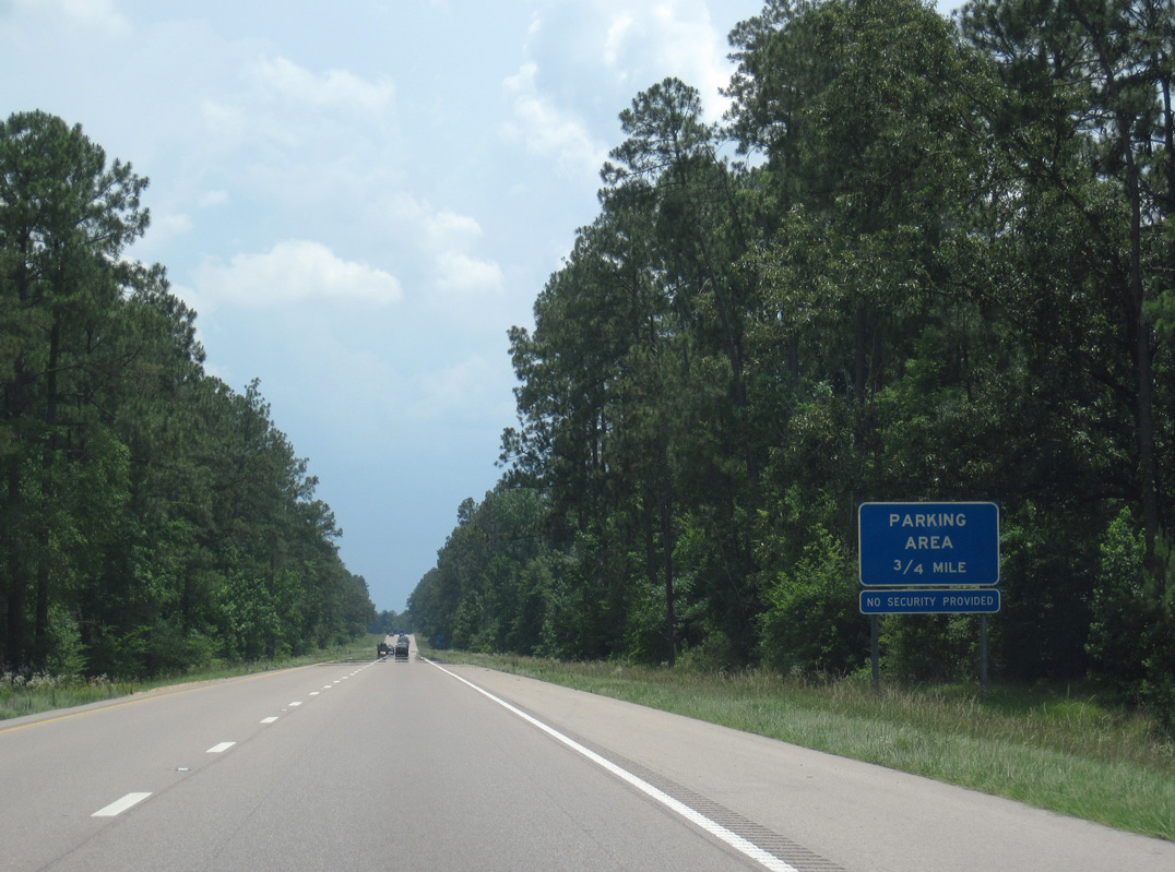
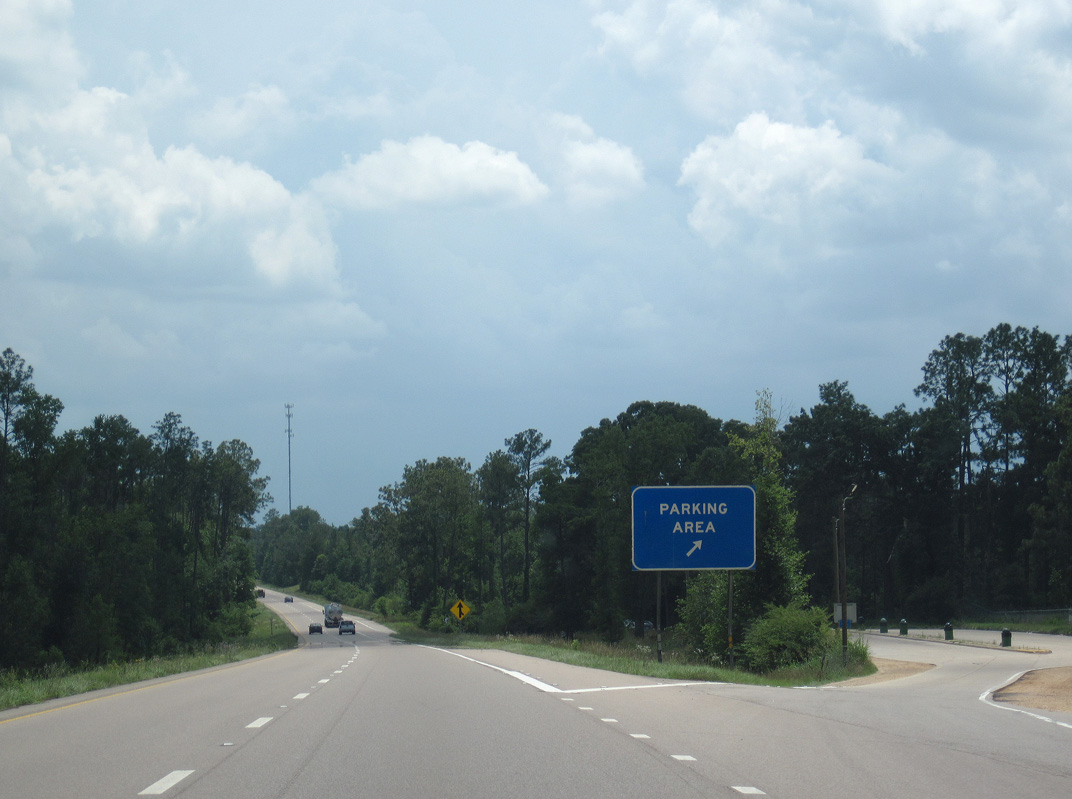
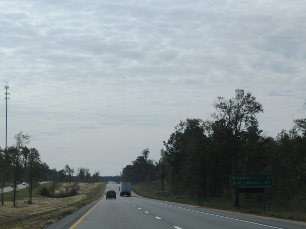
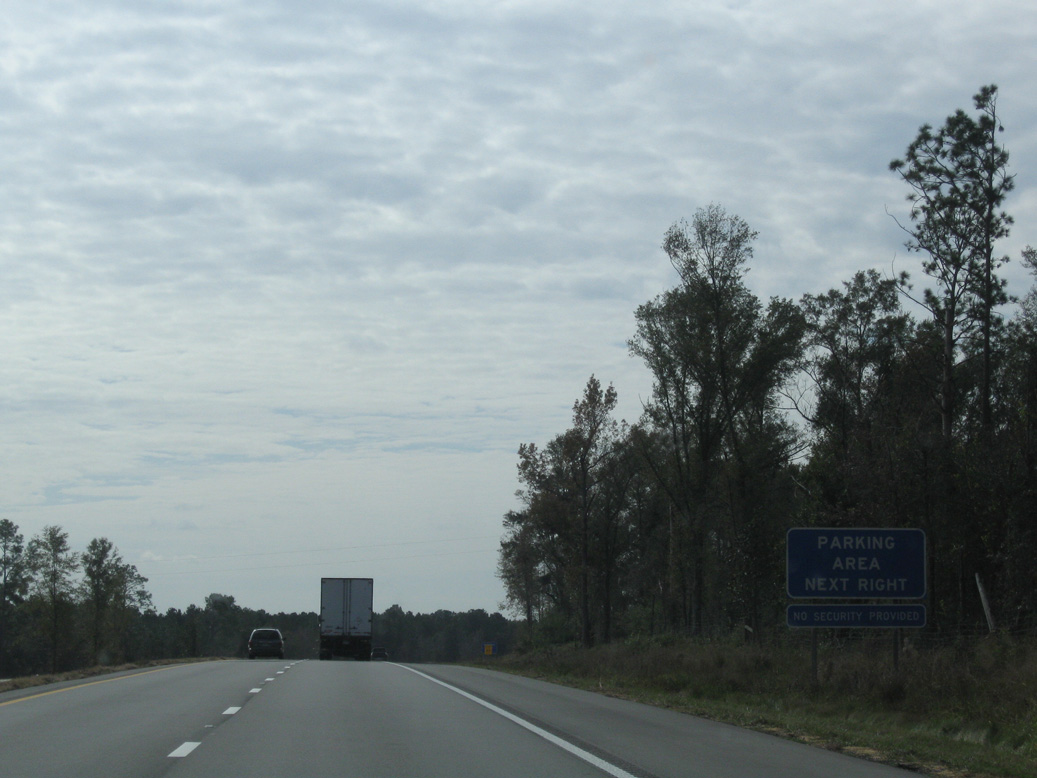
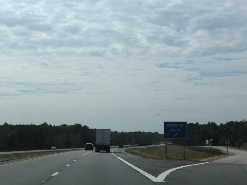
| Parking areas line both sides of Interstate 59 south of milepost 57. All trees within the freeway median were removed sometime after 2014. 06/02/10 |
|
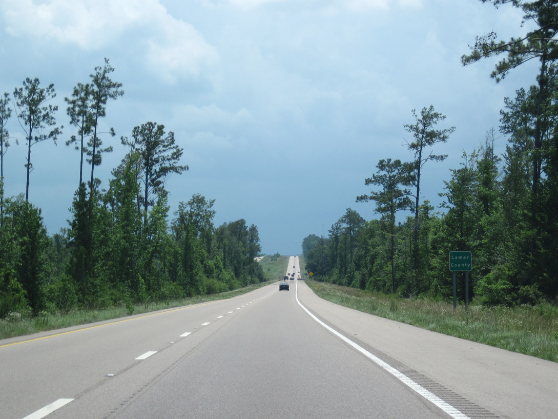
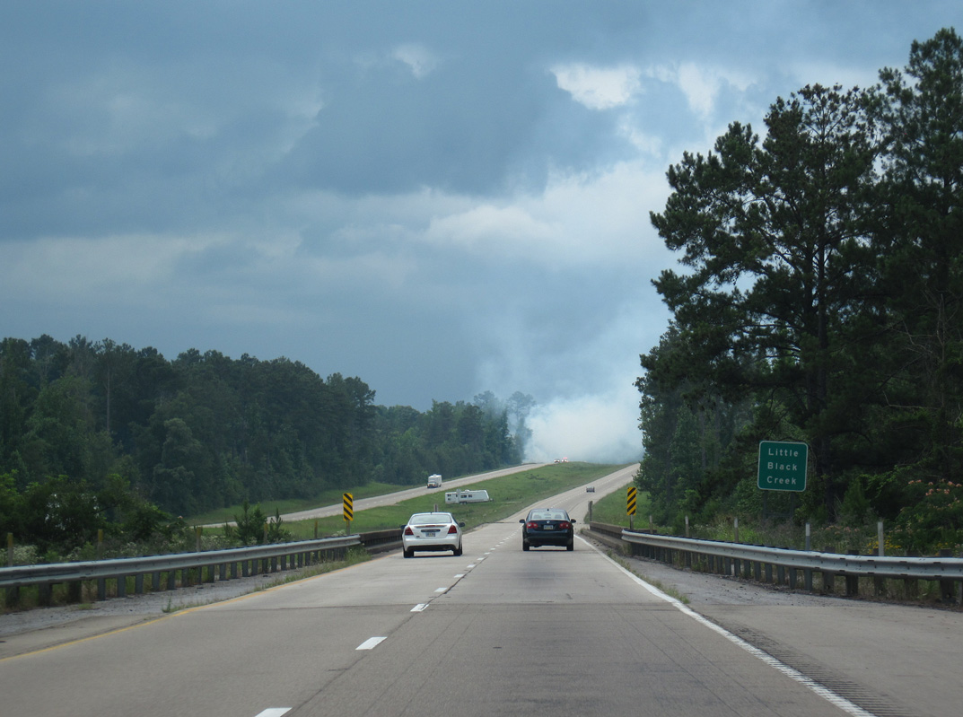
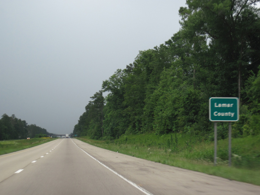
| Southbound Interstate 59 reenters Lamar County just ahead of Black Creek. 06/02/10 |
|
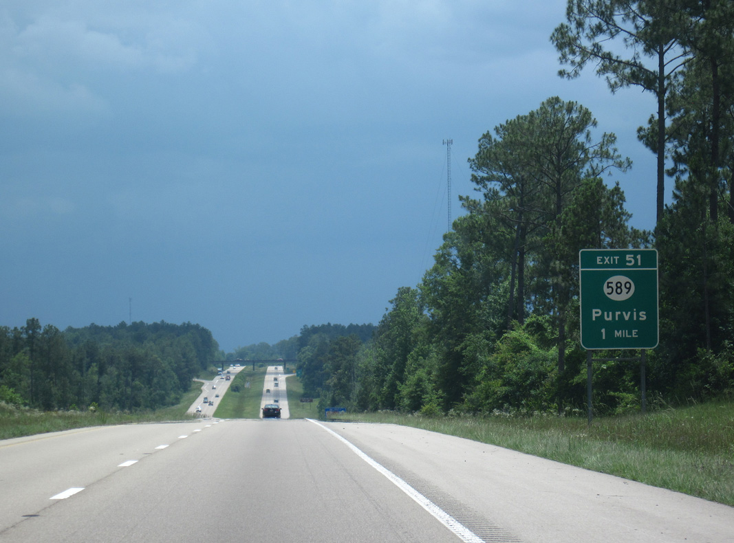
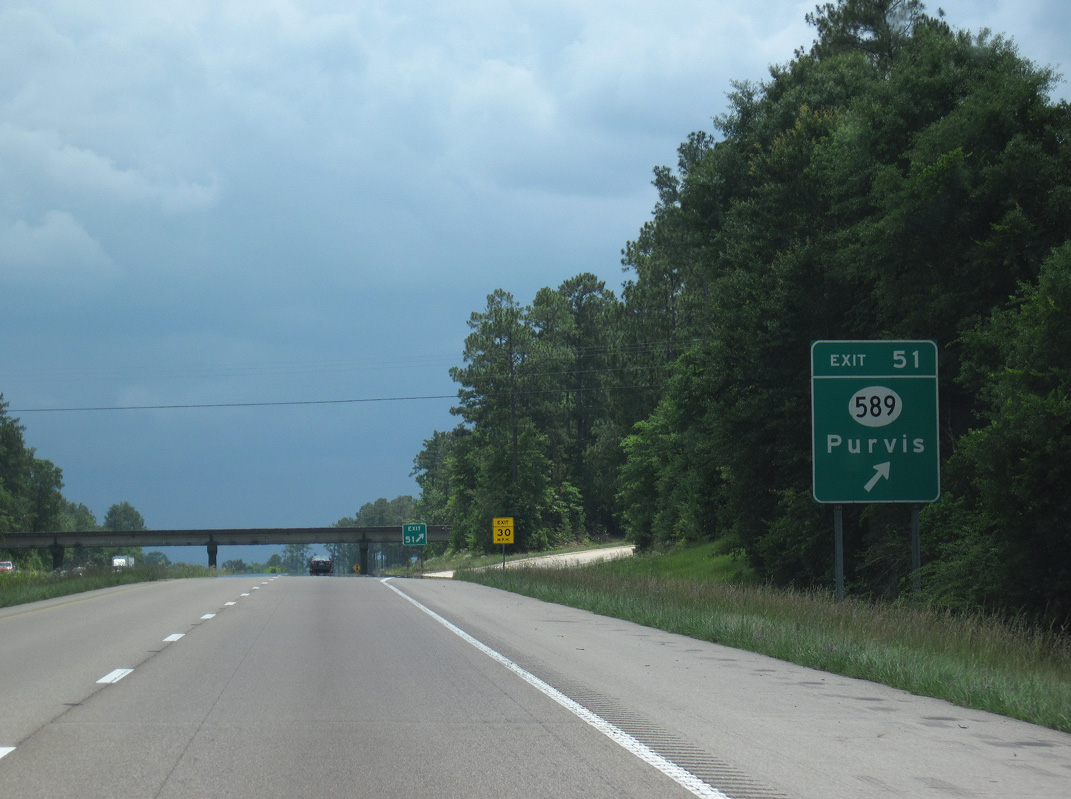
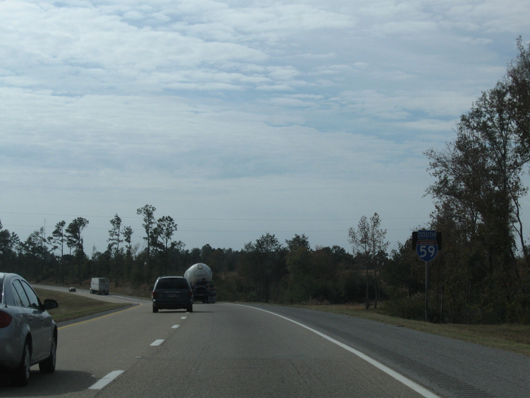
| The lone interchange along I-59 in southeastern Lamar County is with Mississippi 589 west and Browns Bridge Road east. 06/02/10 |
|
| Mississippi 589 commences a 36 mile route north to Purvis, Sumrall and U.S. 49 near Seminary at the diamond interchange (Exit 51) with I-59. Browns Bridge Road extends east from the state highway to adjacent Beaver Lake. 06/02/10 |
|
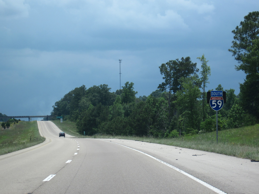
| A 9.7 mile exit less stretch leads Interstate 59 south from MS 589 near Purvis to MS 13 at the city of Lumberton. 06/02/10 |
|
| The bridges across Little Black Creek along Interstate 59 date from 1961. 06/02/10 |
|
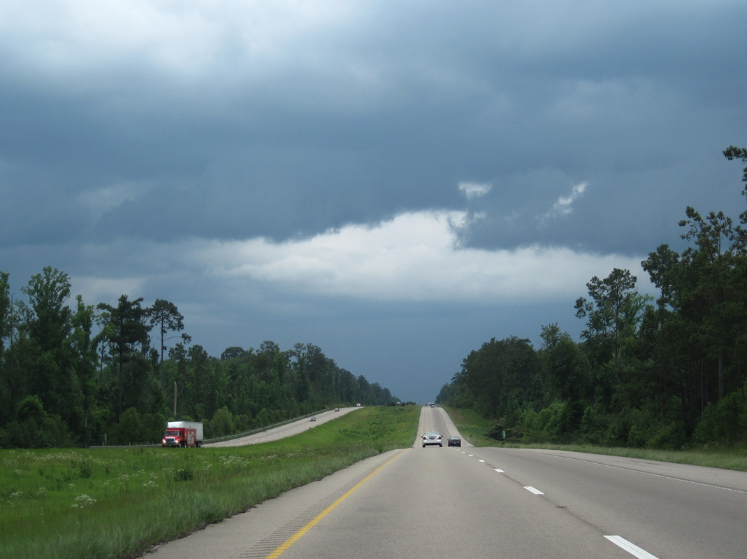
| The terrain varies from 220 to 340 feet above sea level along the drive along Interstate 59 in southern Lamar County. 06/02/10 |
|
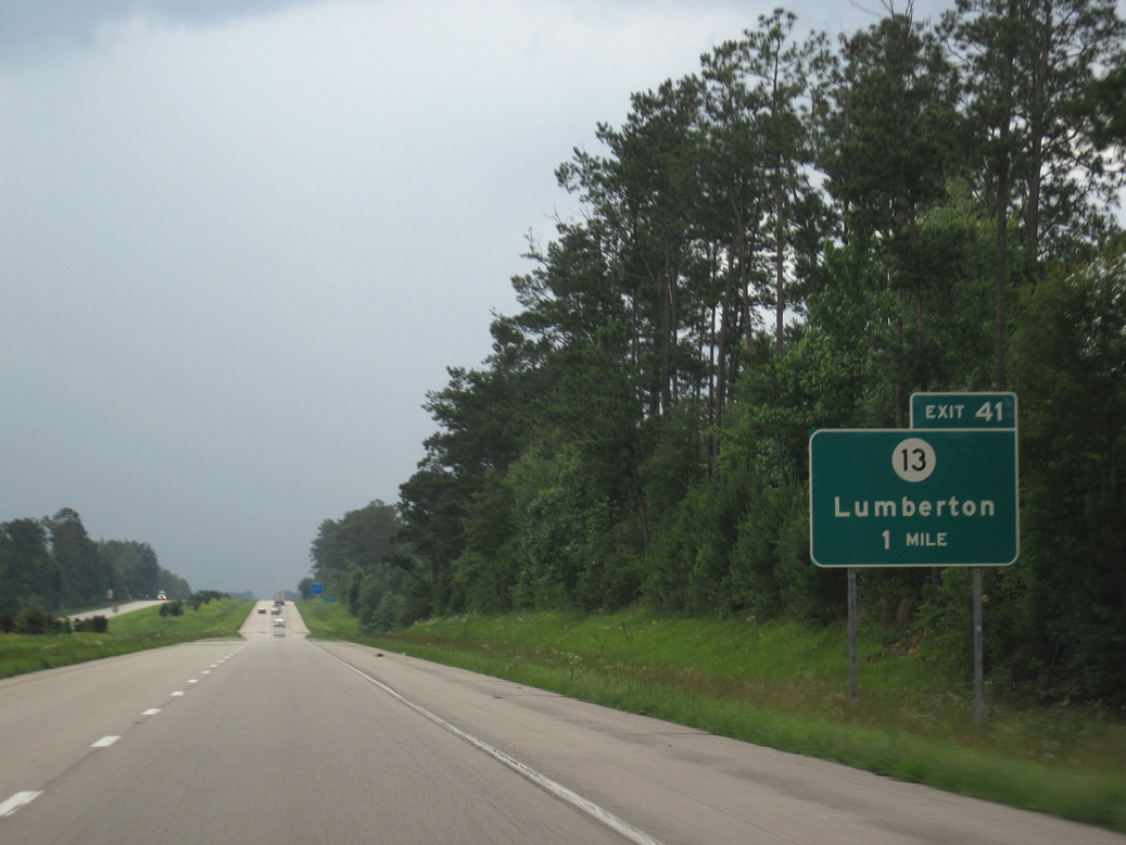
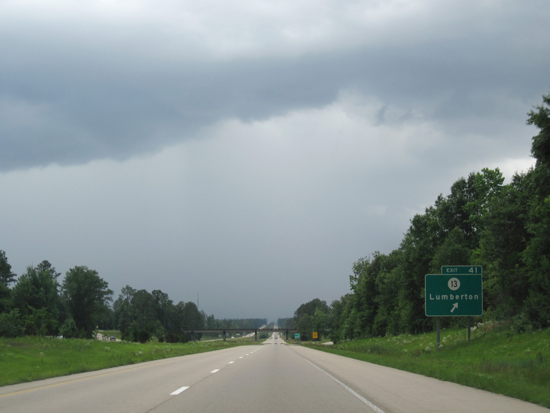
| One mile north of the diamond interchange (Exit 41) with Mississippi 13 on I-59 south. 06/02/10 |
|
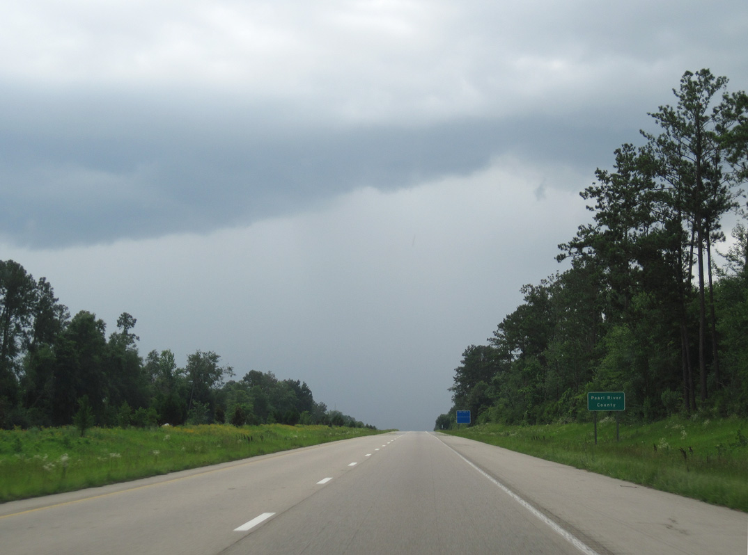
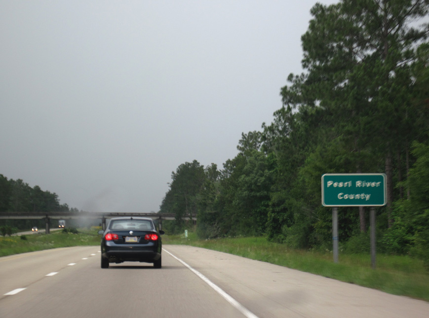
| Interstate 59 briefly enters a corner of Pearl River County west of wetlands associated with Parker Creek and north of MS 13. 06/02/10 |
|
| Exit 41 departs Interstate 59 south for MS 13 (Main Avenue) west two miles to U.S. 11 (Heber Ladner Drive) in the Lumberton business district. MS 13 east traverses areas of DeSoto National Forest along a 15 mile course to U.S. 49 in Forrest County. 06/02/10 |
|
| Reassurance marker posted ahead of Red Creek. 06/02/10 |
|
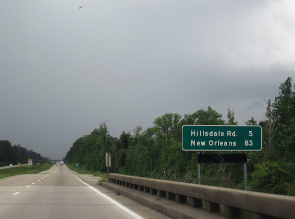
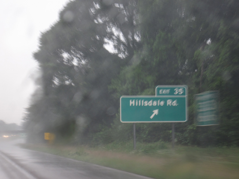
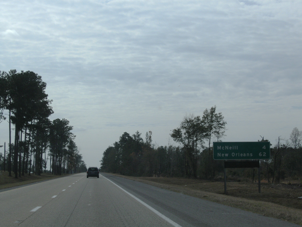
| A diamond interchange (Exit 35) lies five miles ahead with Hillsdale Road at Lake Hills Golf Club. New Orleans is 83 miles away. 06/02/10 |
|
| Interstate 59 angles across the southeast corner of Lamar County from DeSoto National Forest. 06/02/10 |
|
| Southbound Interstate 59 enters Pearl River County for good ahead of the Gumpond Beall Road overpass. 06/02/10 |
|
| Hillsdale Road meanders west from Exit 35 to the Norfolk Southern Railroad siding of Hillsdale. Hillsdale Gumpond Road extends east from the adjacent Lake Hillsdale subdivision to DeSoto National Forest. 06/02/10 |
|
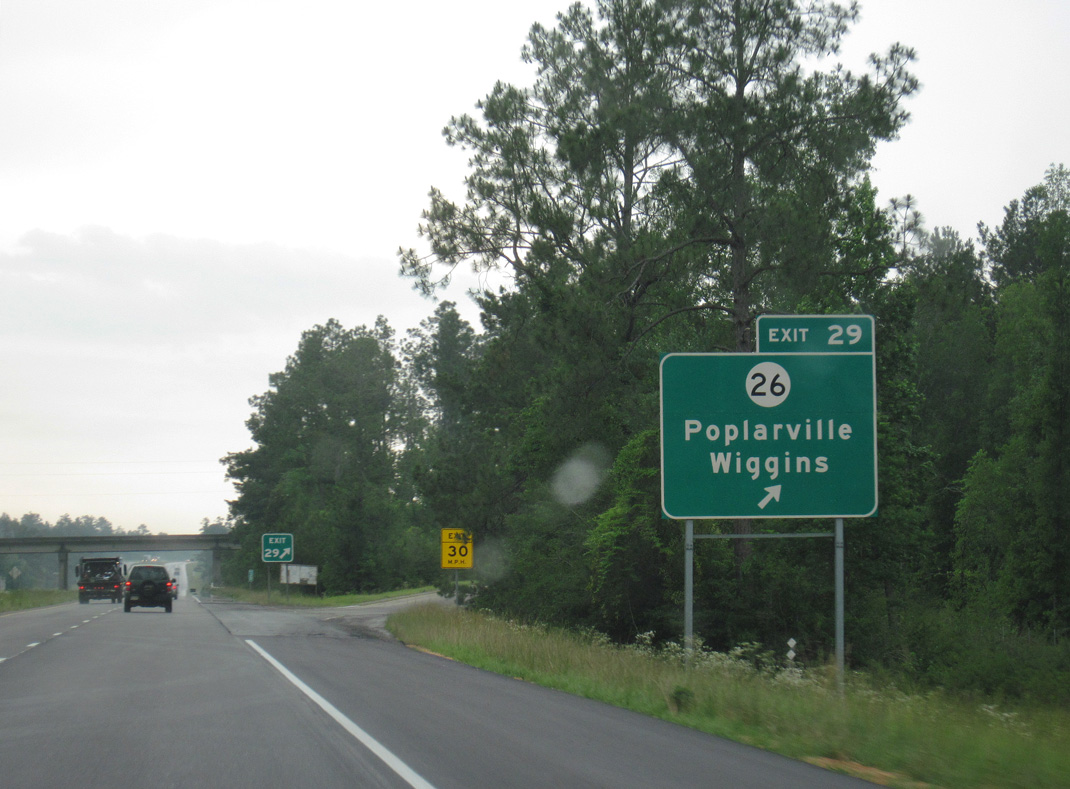
| Next along Interstate 59 south is the Pearl River County seat of Poplarville. The first of two interchanges for the city is Exit 29 with Mississippi 29 (Brainard Street). 06/02/10 |
|
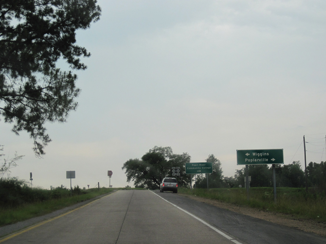
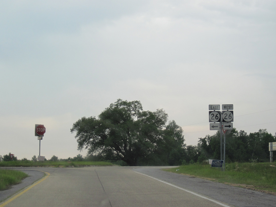
| Mississippi 26 is a regional highway connecting Poplarville with Bogalusa, Louisiana to the west and with Wiggins and Lucedale to the east. 06/02/10 |
|
| Interstate 59 curves southwest around Poplarville to the east of Bonner Lake. 11/23/08 |
|
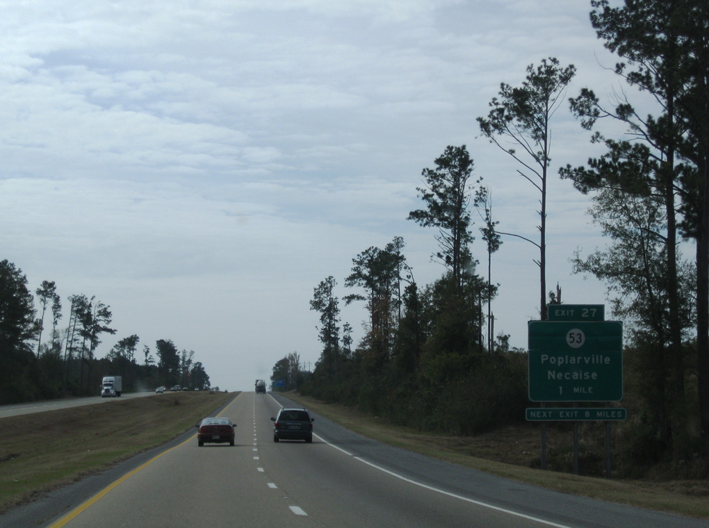
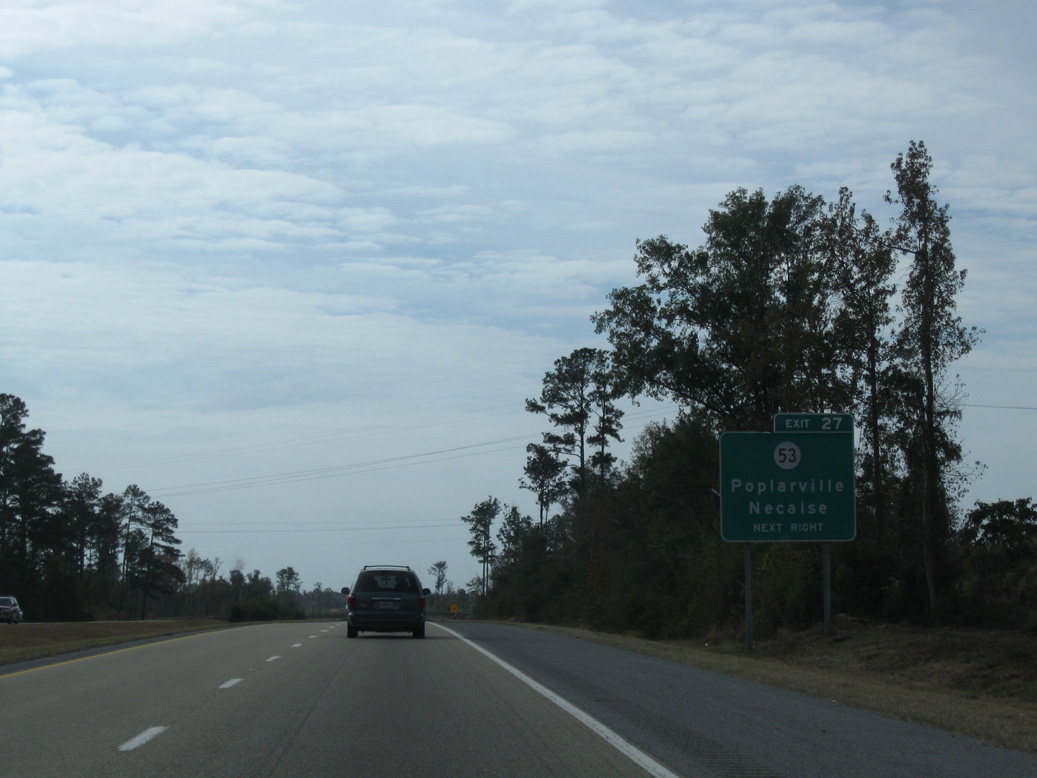
| Forthcoming Mississippi 53 is a 39.6 mile long highway originating in Poplarville and traveling southeast to U.S. 49 by Lyman. 11/23/08 |
|
| MS 53 follows Main Street northwest from the diamond interchange (Exit 27) with I-59 to MS 26 in Poplarville. Heading south, MS 53 connects with MS 603 south to Necaise, Kiln and Bay St. Louis in 15.6 miles. 11/23/08 |
|
| Interstate 59 continues uninterrupted 6.9 miles south from MS 53 to Exit 19. 11/23/08 |
|
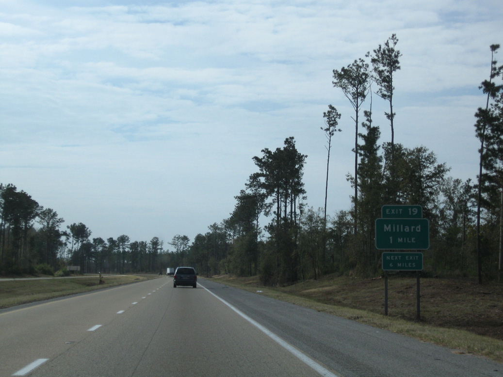
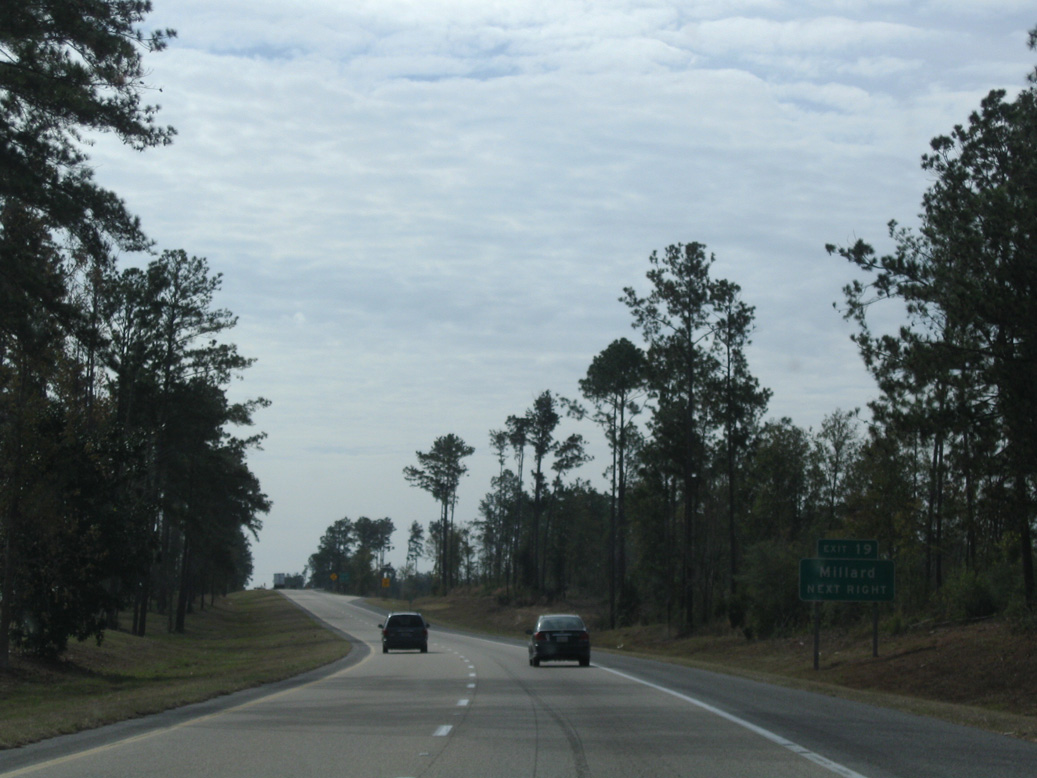
| Savannah Millard Road crosses paths with Interstate 59 at a diamond interchange (Exit 19) in one mile. 11/23/08 |
|
| Exit 19 leaves I-59 south for Savannah Millard Road. Millard lies 2.5 miles west at U.S. 11. The settlement of Savannah is 4.5 miles to the northeast at MS 53. 11/23/08 |
|
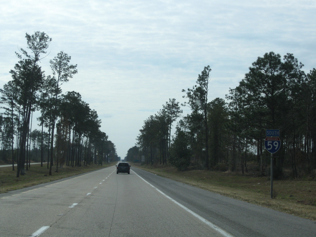
| Reassurance marker posted south of Exit 19. 11/23/08 |
|
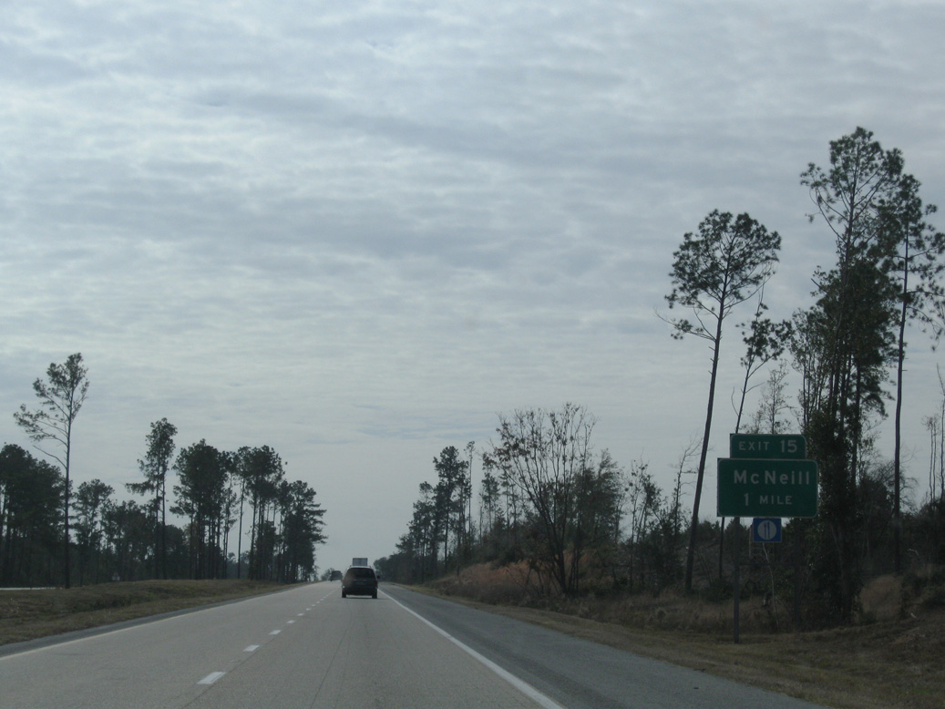
| Exit 15 with McNeill Steephollow Road lies four miles ahead. New Orleans is less than an hour away. 11/23/08 |
|
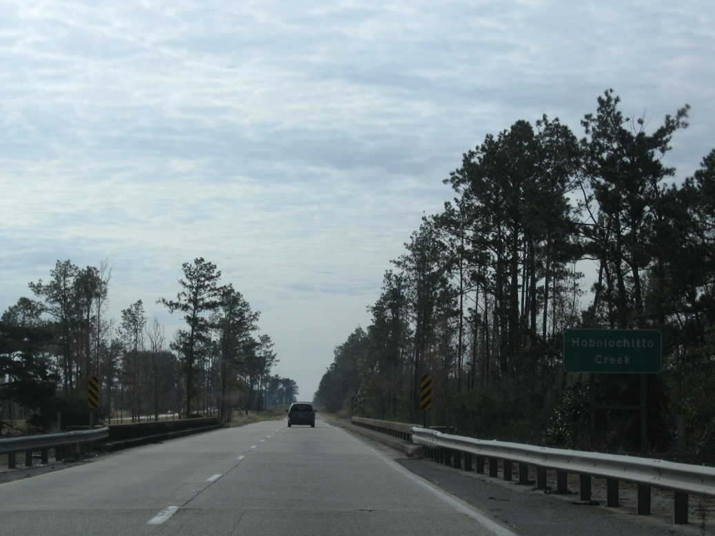
| The 1964 bridges spanning Hobolochitto Creek were reconstructed and widened to include shoulders in 2010. 11/23/08 |
|
| Located along U.S. 11, the unincorporated community of McNeill is a 3.5 mile drive to the west of Exit 15. 11/23/08 |
|
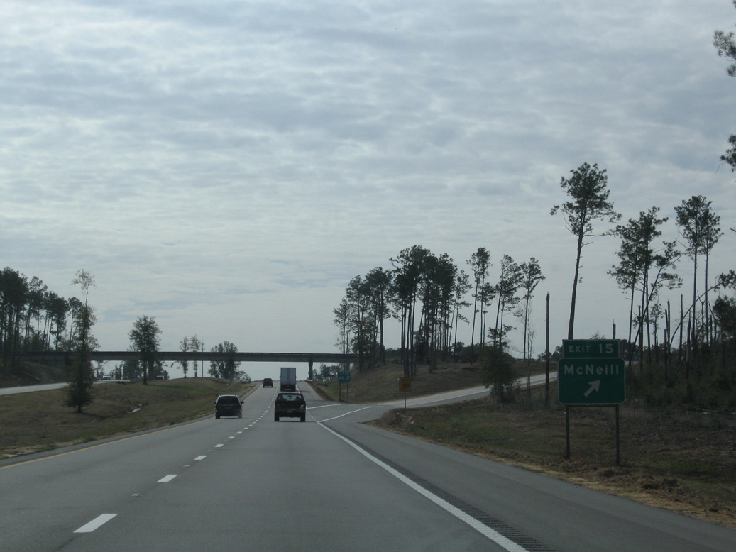
| McNeill Steephollow Road continues east 8.3 miles from the diamond interchange (Exit 15) with Interstate 59 to Rowlands and MS 53. 11/23/08 |
|
| The ensuing stretch of Interstate 59 southbound passes by Anchor Lake four miles to Exit 10 with Union Road. 11/23/08 |
|
| Parking areas along Interstate 59 in southern Pearl River County were closed by 2018. The shuttered areas were located at milepost 13 southbound and milepost 8 northbound. 11/23/08 |
|
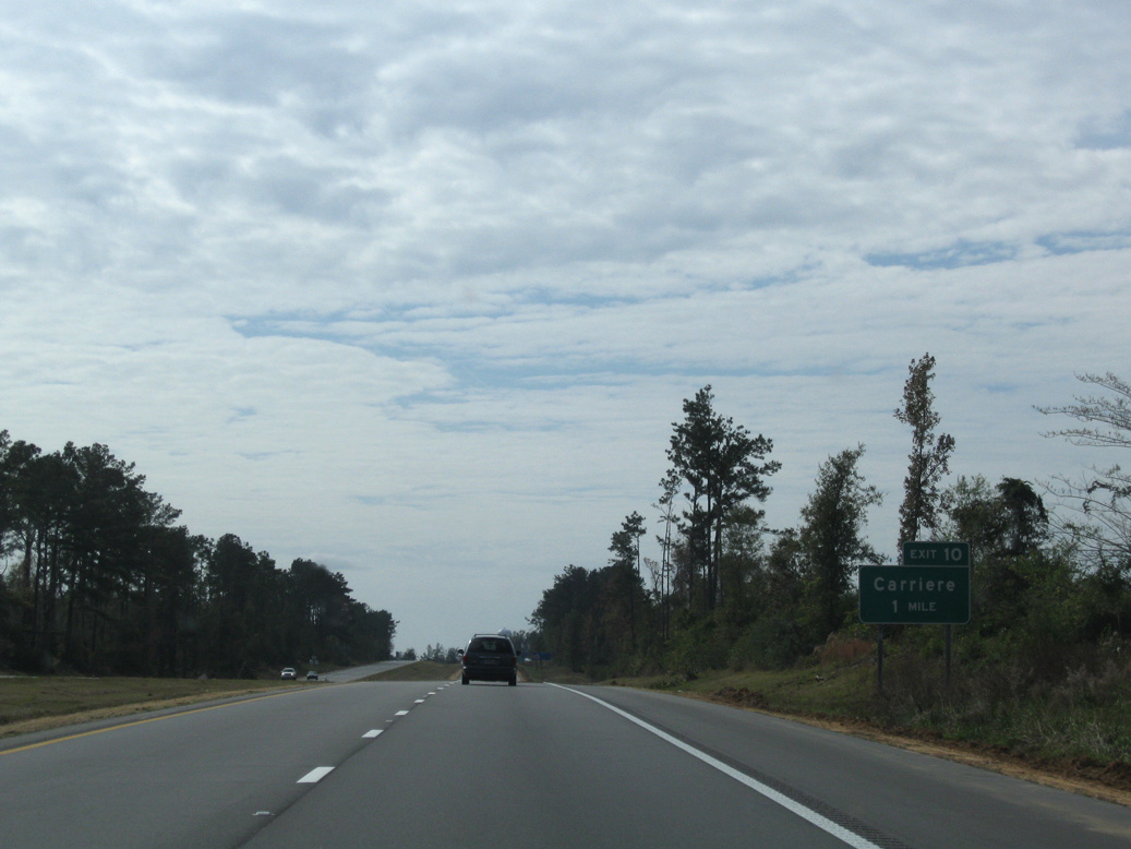
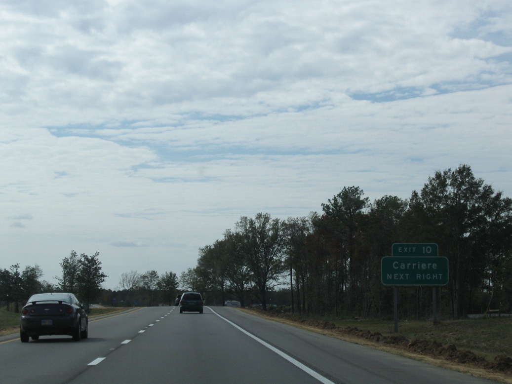
| Union Road connects Interstate 59 with Anchor Lake Road in the community of Carriere, 2.3 miles to the northwest. 11/23/08 |
|
| Union Road arcs south from the diamond interchange (Exit 10) with I-59 across Hobolochitto Creek and east 5.7 miles to Caesar. 11/23/08 |
|
| Interstate 59 bee lines southward by the Hide-A-Way Lake community to Exit 6. 11/23/08 |
|
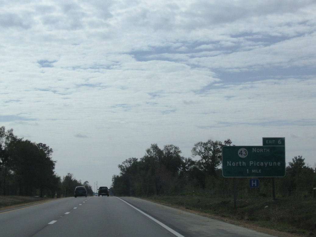
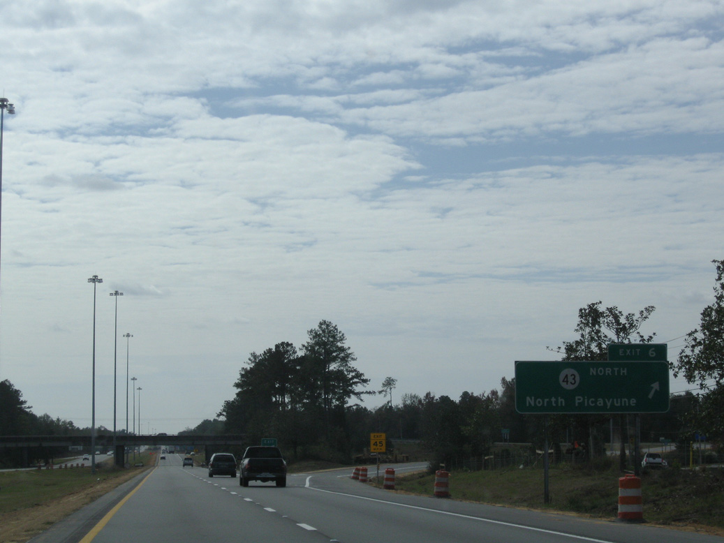
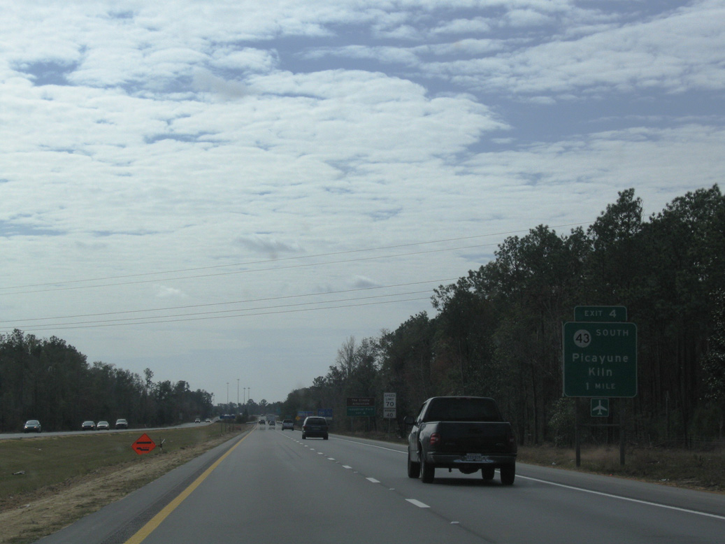
| Mississippi 43 parallels the Pearl River 52.2 miles south from Mississippi 13 in Marion County, outside Columbia, and meets Interstate 59 at Exit 6 in north Picayune. 11/23/08 |
|
| Sycamore Road constitutes a four lane arterial taking MS 43 west from a diamond interchange (Exit 6) with I-59 to U.S. 11 across north Picayune. Sycamore Road continues northeast to Union Road through rural areas. 11/23/08 |
|
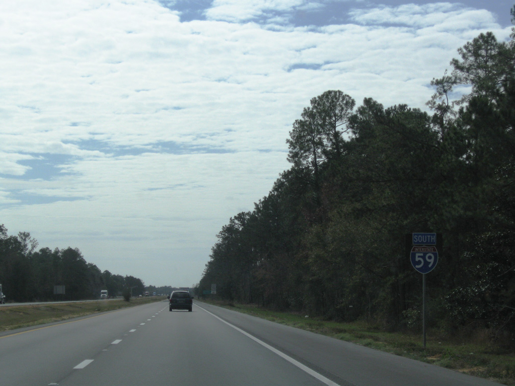
| MS 43 joins Interstate 59 south 1.9 miles to bypass Downtown Picayune. 07/22/01 |
|
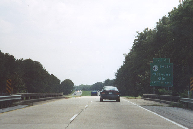
| The freeway crosses East Hobolochitto Creek ahead of Canal Street and the diamond interchange (Exit 4) with Memorial Boulevard west and the departure of MS 43 to the east. 11/23/08 |
|
| Progressing 17.7 miles east from Exit 4 and Picayune, MS 43 combines with MS 603 south to Kiln. MS 43/603 overlap 11.2 miles to U.S. 90 at Bay St. Louis. 07/22/01 |
|
| Southward from Memorial Boulevard, Interstate 59 straddles the Picayune city line by The Crosby Arboretum west of Picayune Municipal Airport (MJD). 11/23/08 |
|
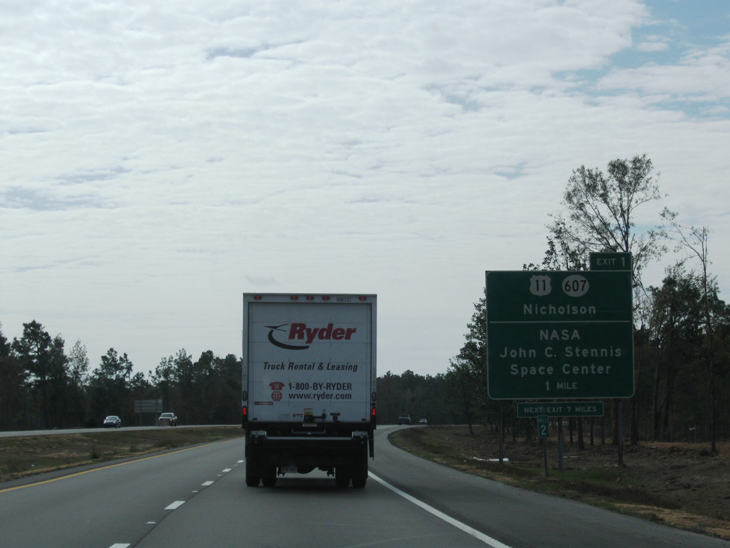
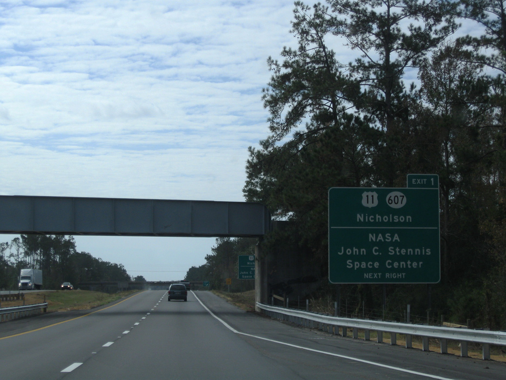
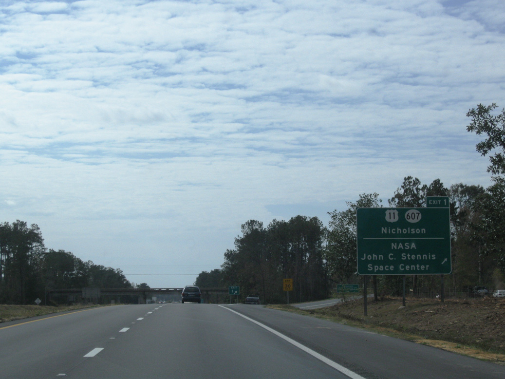
| U.S. 11 and Interstate 59 come together at a diamond interchange (Exit 1) with MS 607 north at Nicholson in one mile. 11/23/08 |
|
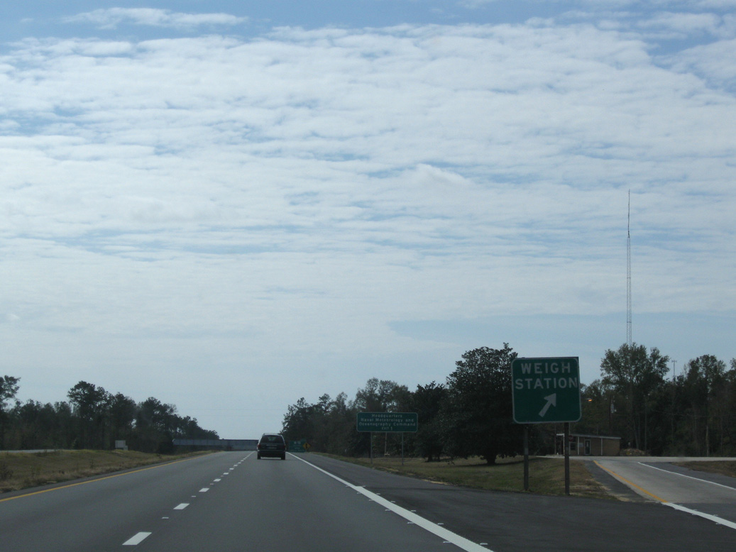
| Weigh stations operation along both directions of I-59 between Exits 1 and 4. 11/23/08 |
|
| A U.S. Government Railroad line spans Interstate 59 just ahead of Exit 1. The railroad and MS 607 head south from Nicholson to NASA's John C. Stennis Space Center. The facility is the headquarters of the Naval Meteorology and Oceanography Command. 11/23/08 |
|
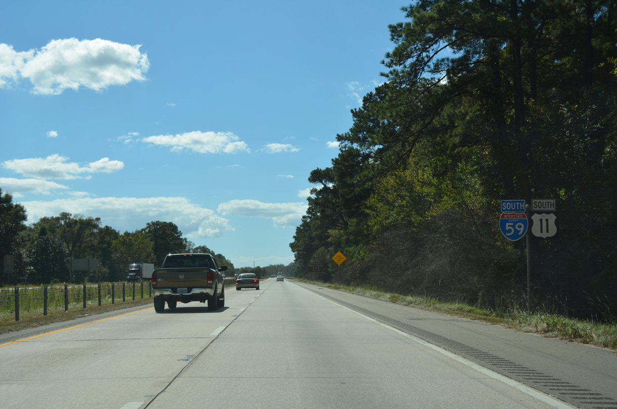
| U.S. 11 combines with Interstate 59 south from Nicholson into St. Tammany Parish, Louisiana. MS 607 extends southeast from U.S. 11 to Shuttle Parkway through Stennis Space Center. MS 607 resumes south of NASA Stennis Center, connecting with I-10 and U.S. 90 west of Waveland. 11/23/08 |
|
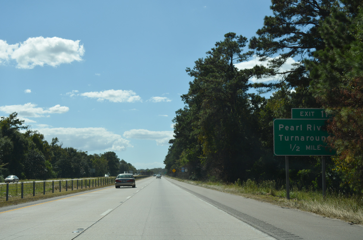
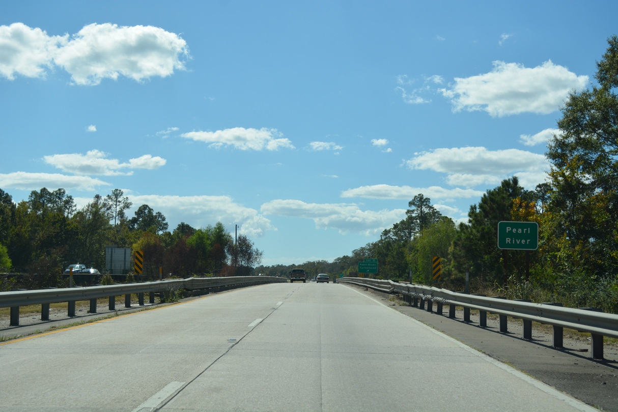
| Interstate 59 traverses wet lands from the bluff line south of Nicholson to the Pearl River. Lowering to 25 feet above sea level, the freeway advances a half mile to Exit 11 with the Pearl River Turnaround in Louisiana. 10/12/16 |
|
| U.S. 11 overlaps with Interstate 59 south 8.8 miles to Pearl River, Louisiana. Historically U.S. 11 looped southeast along what is now MS 607 to Santa Rosa, and then southwest across the Pearl River into the Pelican State. The majority of that alignment was abandoned. 10/12/16 |
|
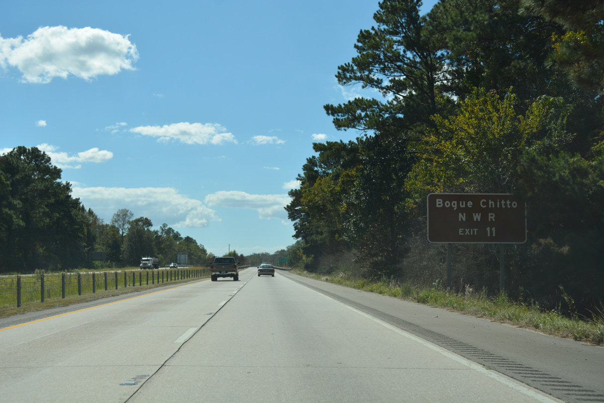
| The folded diamond interchange (Exit 11) with Pearl River Turnaround serves Bogue Chitto National Wildlife Refuge and the Holmes Bayou Trail in addition to a local quarry off nearby Atlas Road. 10/12/16 |
|
| The spans taking I-59/U.S. 11 across the Pearl River and Louisiana state line were built in 1958. 10/12/16 |
Page Updated 03-29-2019.

 South
South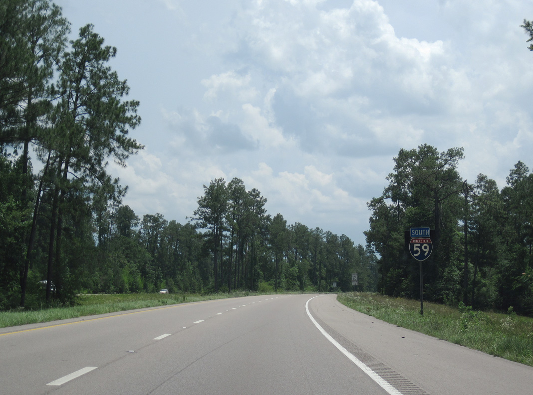

 South
South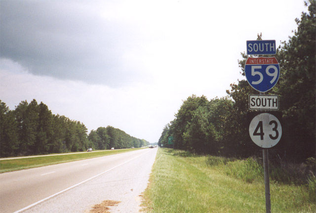
 South
South