

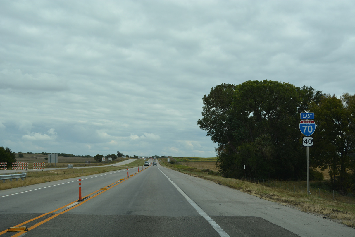
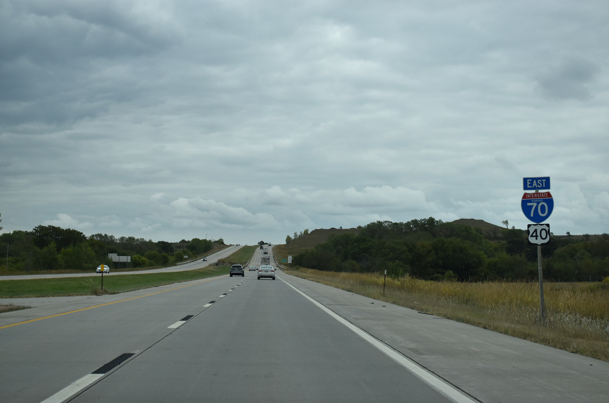
 East
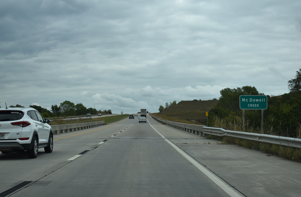
East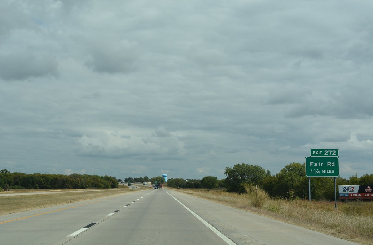
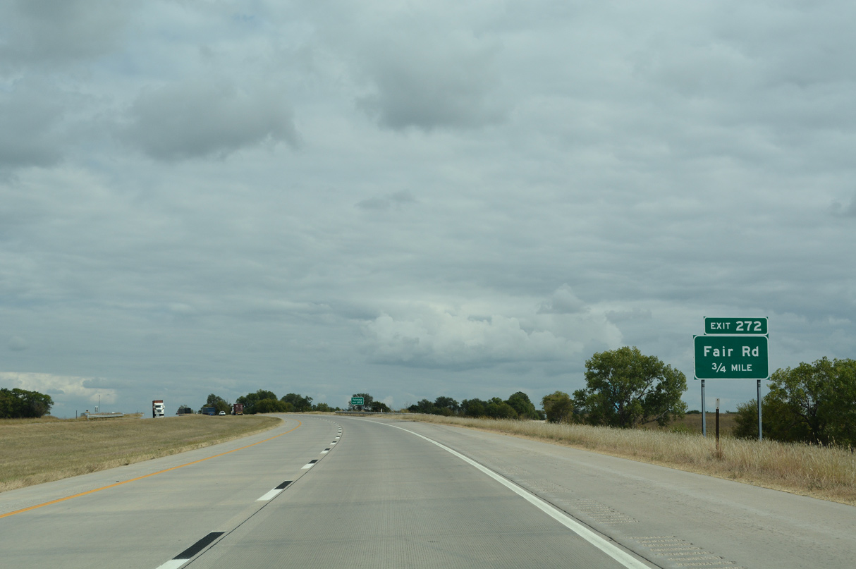
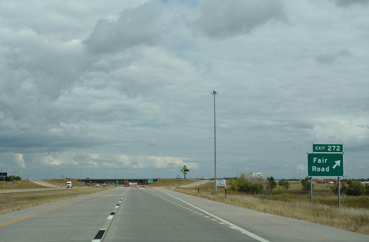
Exit 272 for Fair Road serves western reaches of Abilene.
10/06/21
10/06/21

Located along the BNSF Railroad at Mud Creek, Fair Road leads 6.3 miles north to the unincorporated community of Talmage.
10/06/21
10/06/21
10/06/21
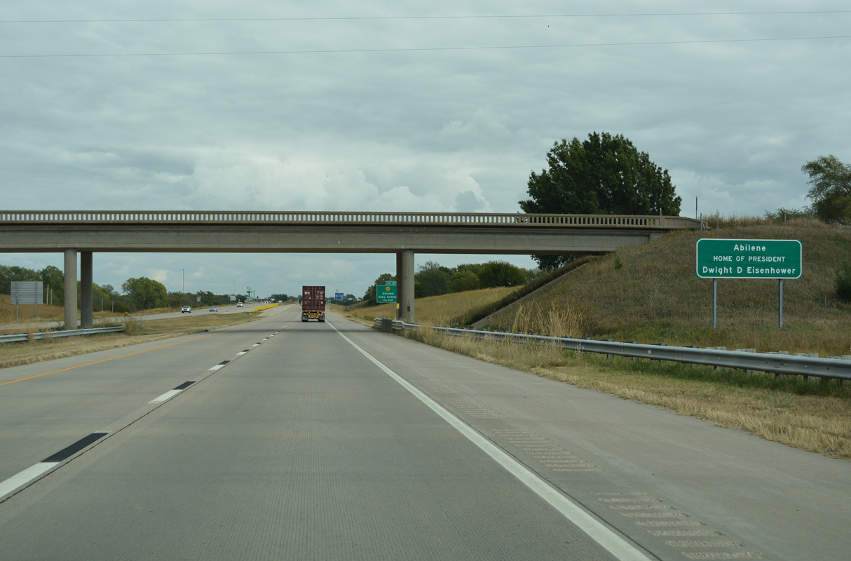
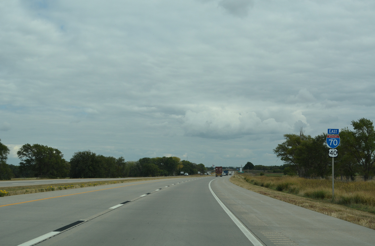
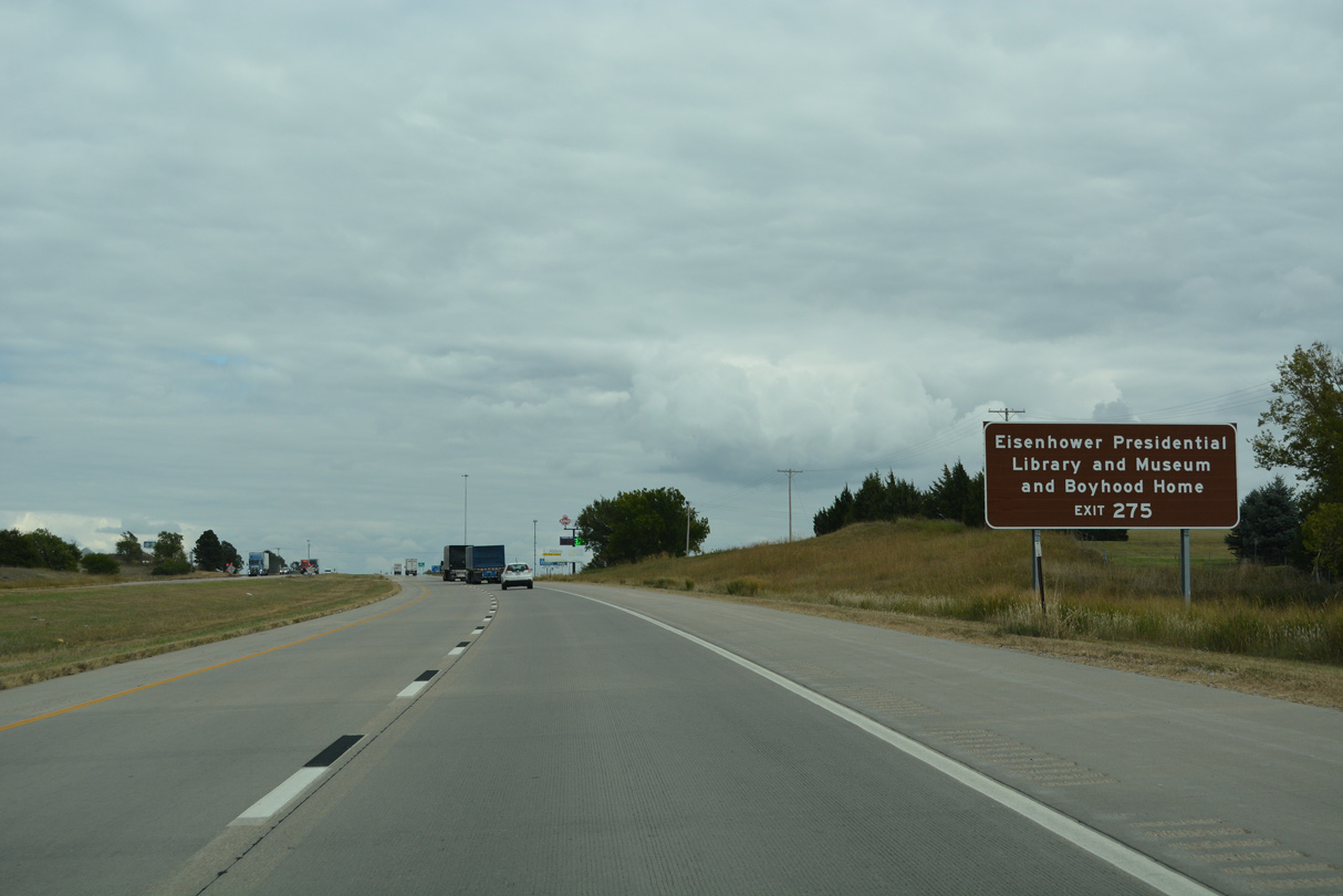
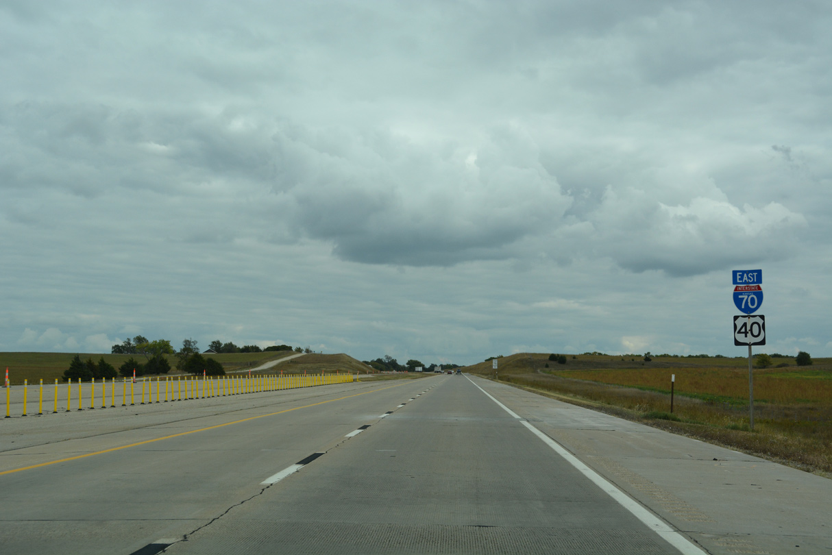
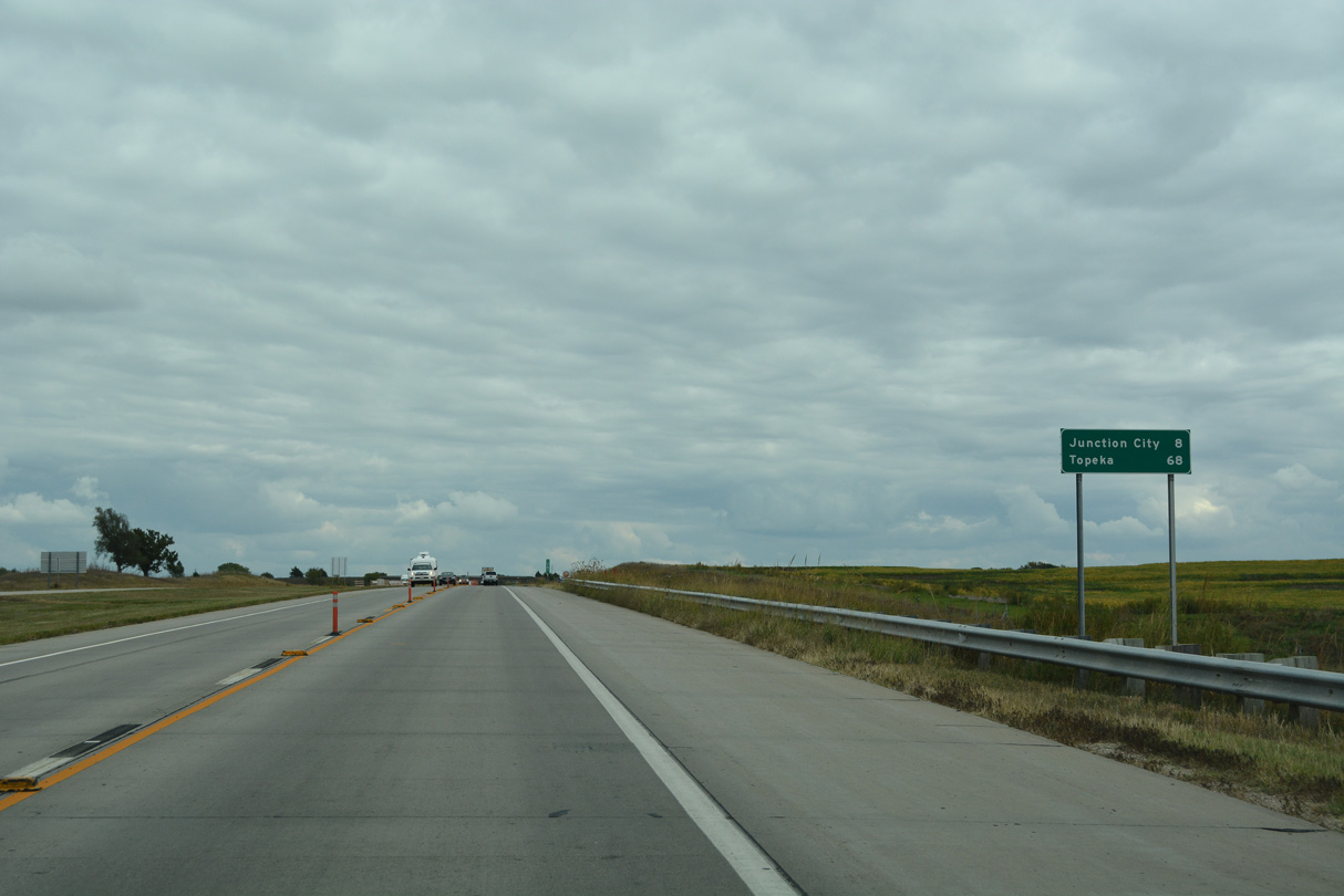
I-70 runs across the north side of Abilene. The city is best known as the home of President Dwight D. Eisenhower.
10/06/21
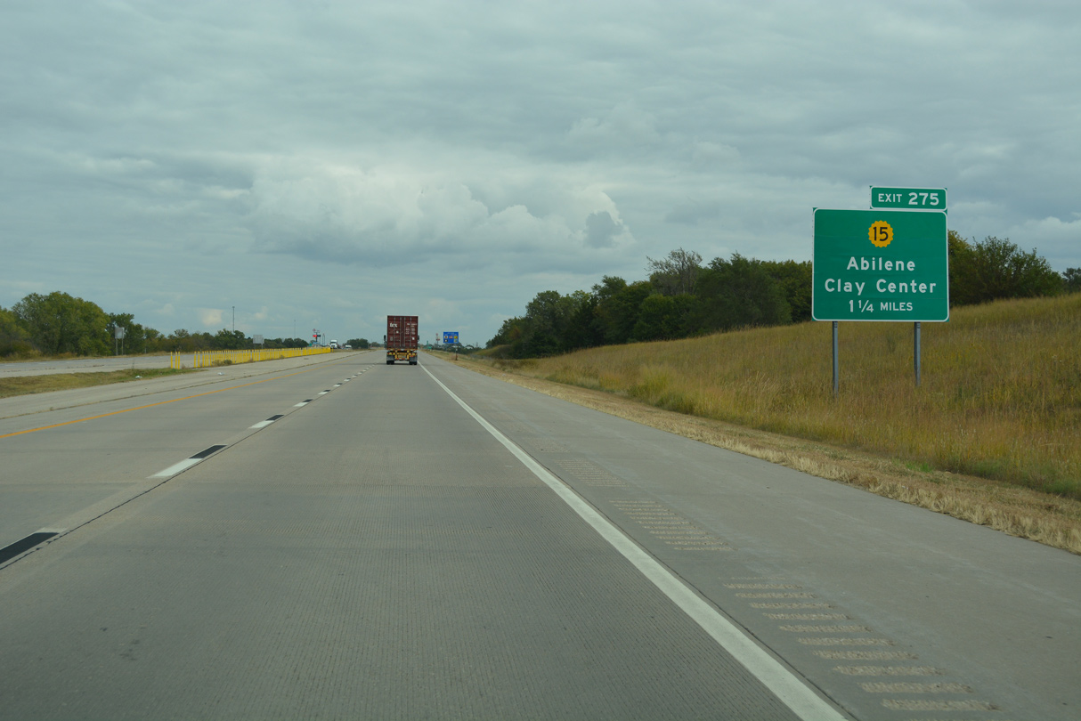
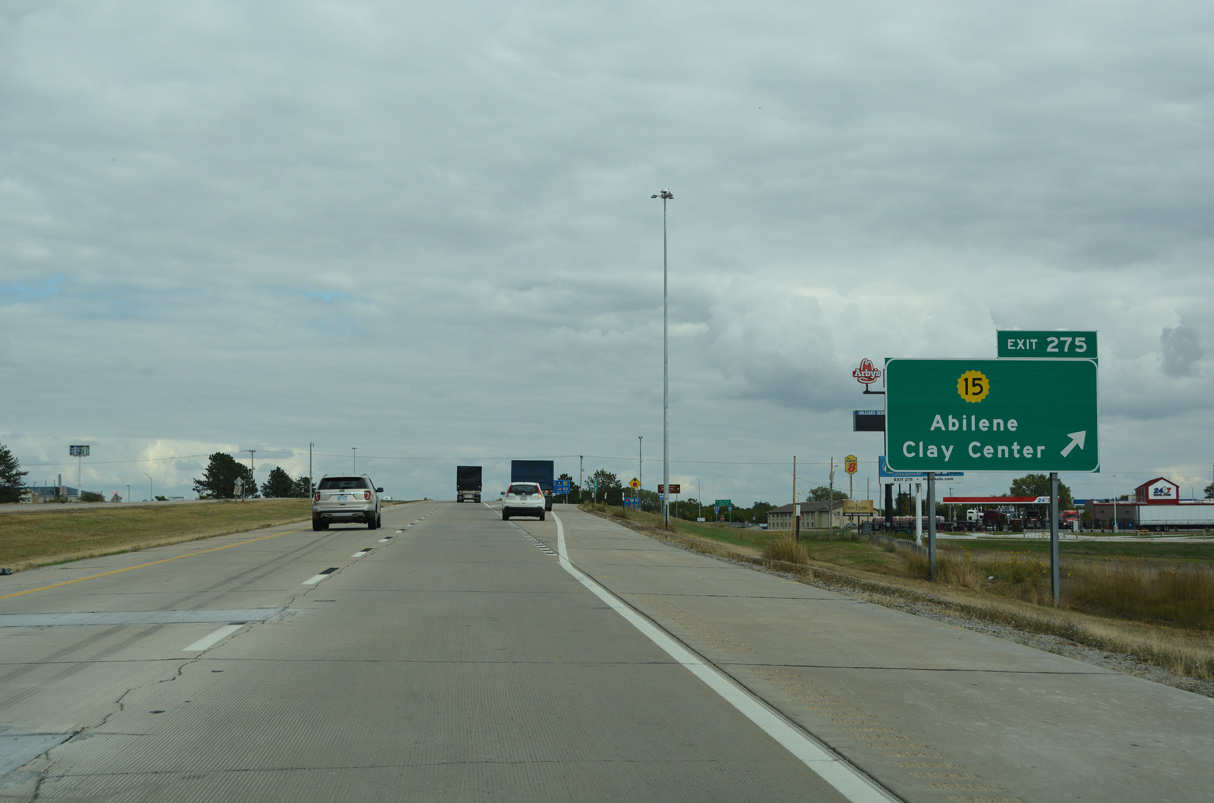
K-15 (Buckeye Avenue) converges with I-70/U.S. 40 along a commercial boulevard at Exit 275.
10/06/21
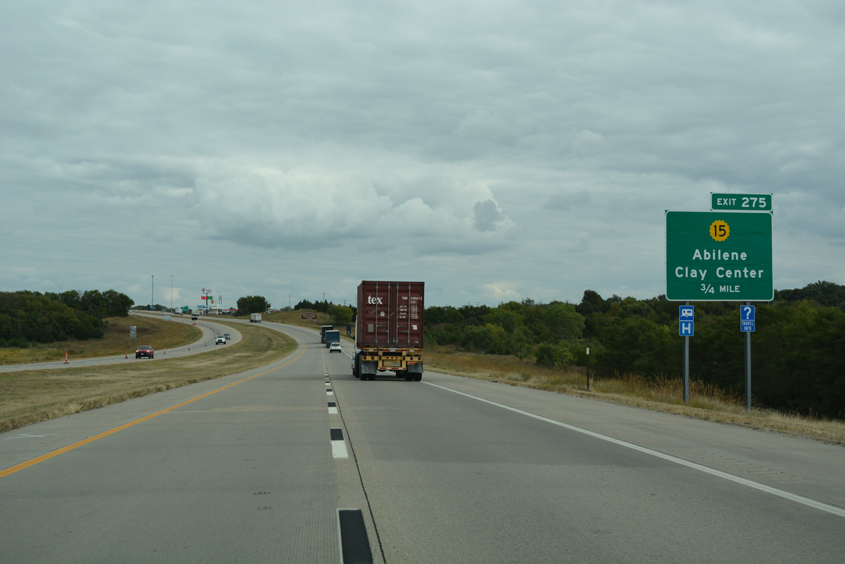
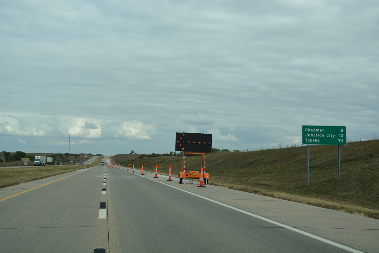
K-15 joins Abilene with Clay Center, 33.5 miles to the north.
10/06/21
10/06/21
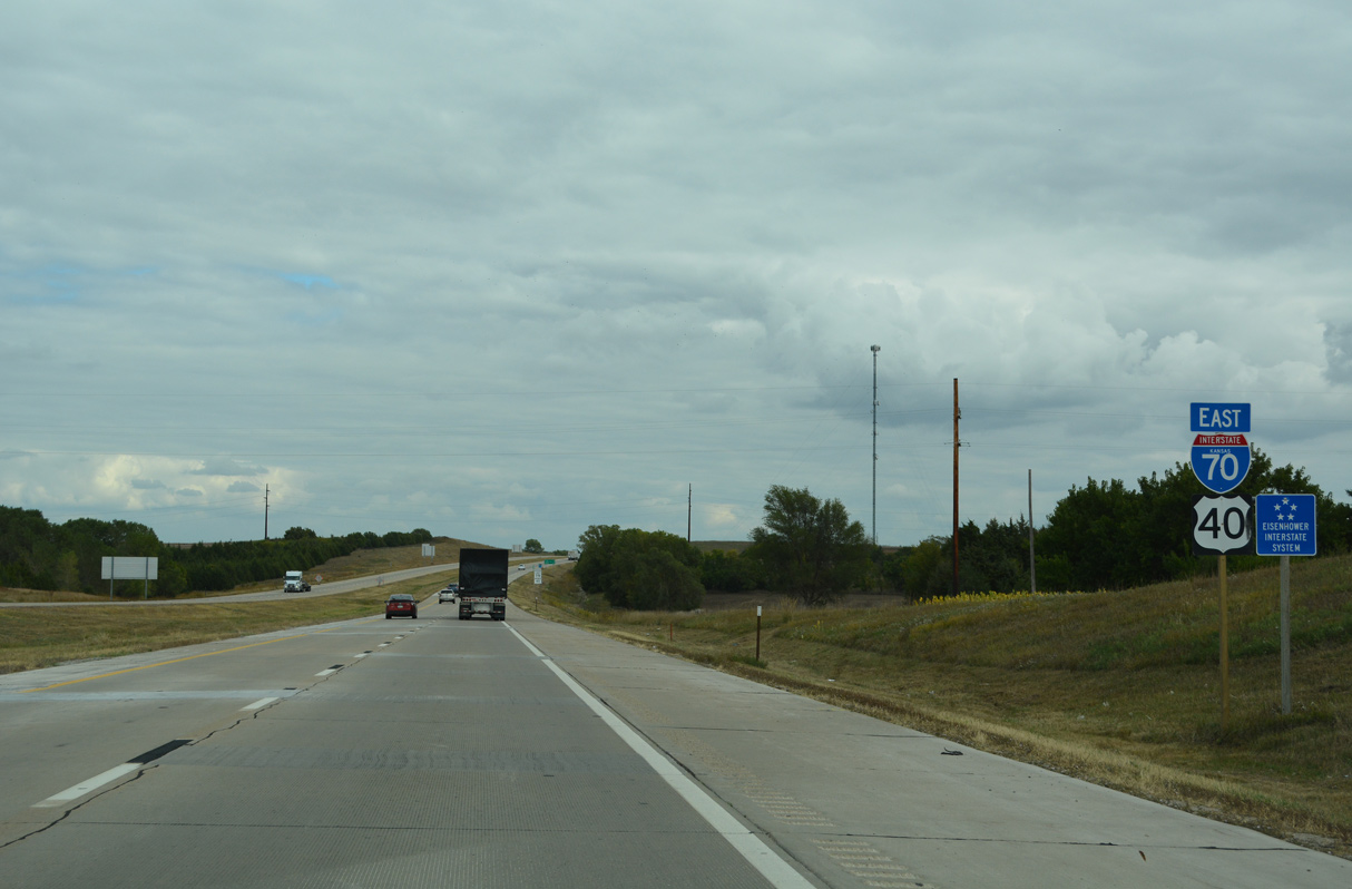
K-15 runs south to Downtown Abilene. The 257.13 mile long highway travels the height of the Sunflower State, forming a multi state route with N-15 north to Fairbury, Nebraska and originating from Oklahoma State Highway 18 in Cowley County.
10/06/21
10/06/21
10/06/21
10/06/21
10/06/21

10/06/21
10/06/21
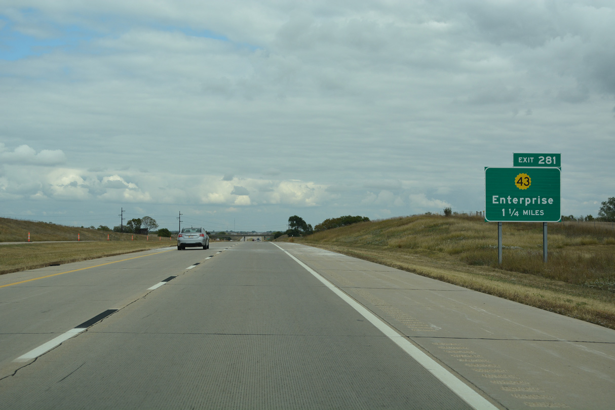
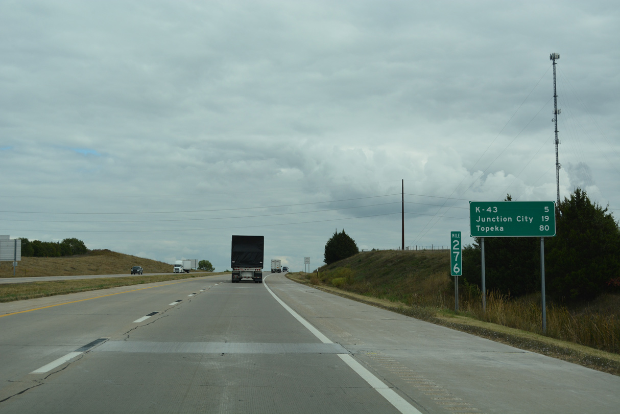
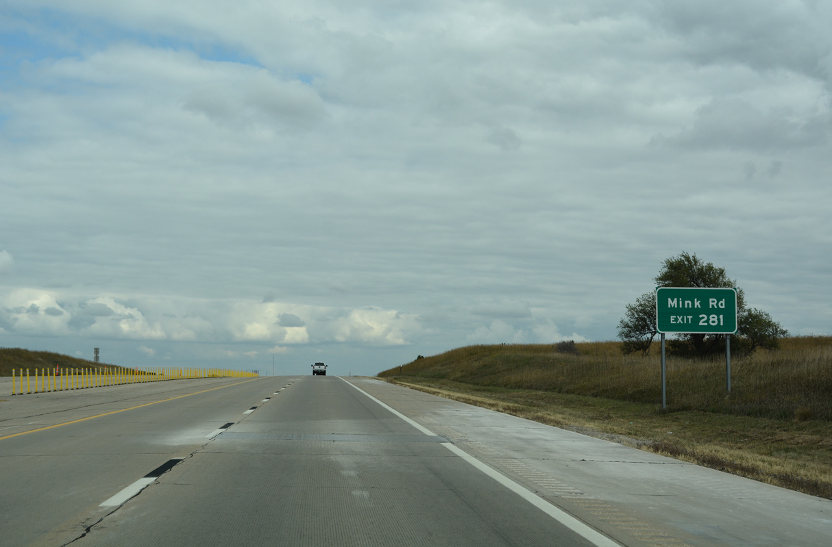
Exit 281 joins I-70/U.S. 40 with the north end of K-43 and Detroit.
10/06/21
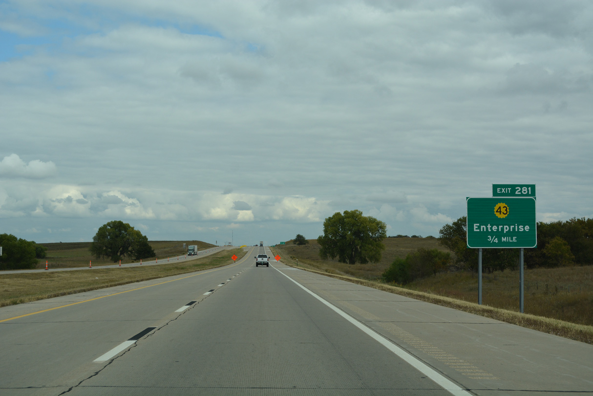
K-43 constitutes a 20.72 mile long highway south to Enterprise, Navarre and K-4 at Hope.
10/06/21
K-43 constitutes a 20.72 mile long highway south to Enterprise, Navarre and K-4 at Hope.
10/06/21
10/06/21
10/06/21
10/06/21
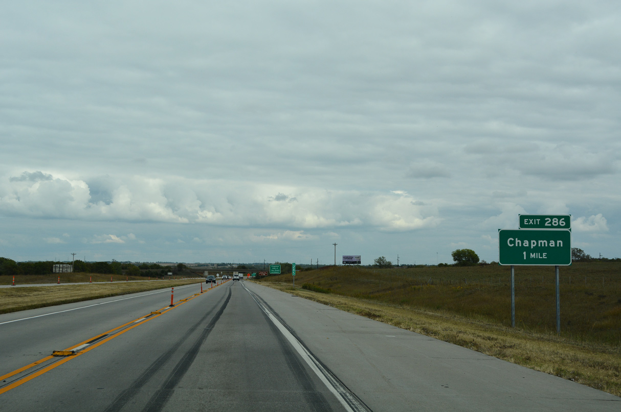
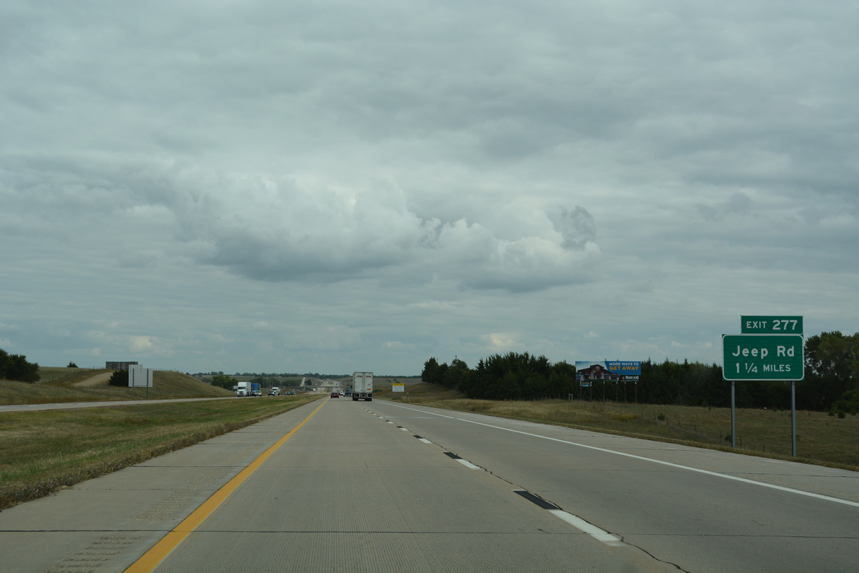
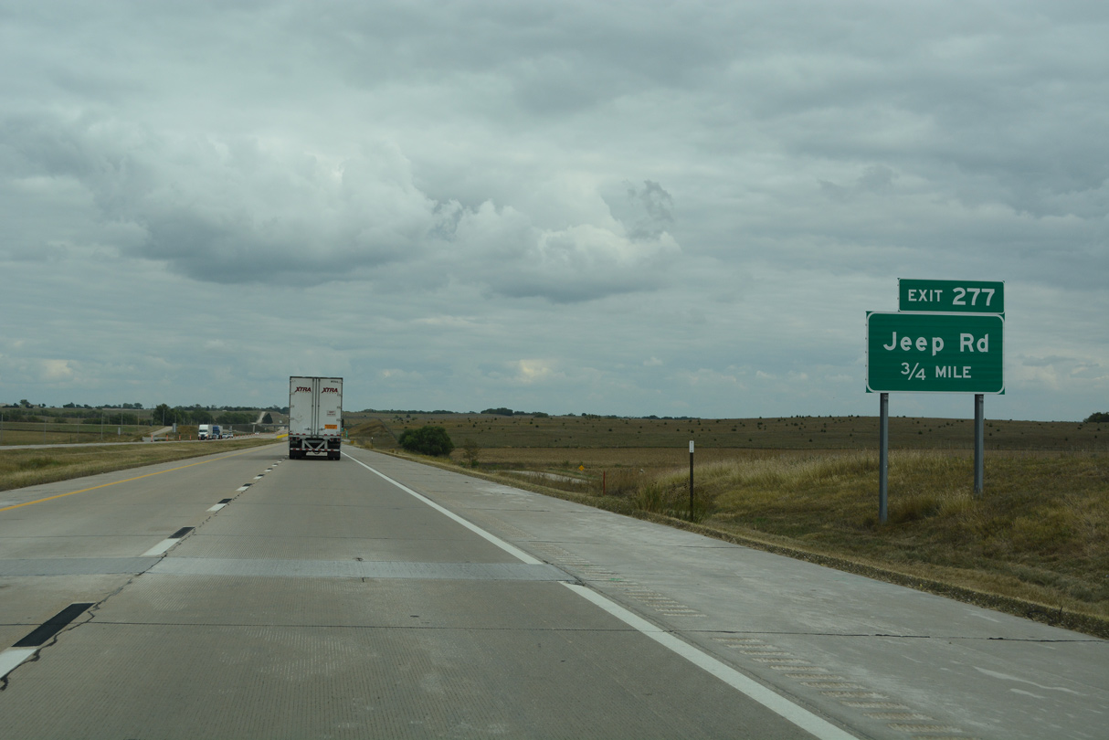
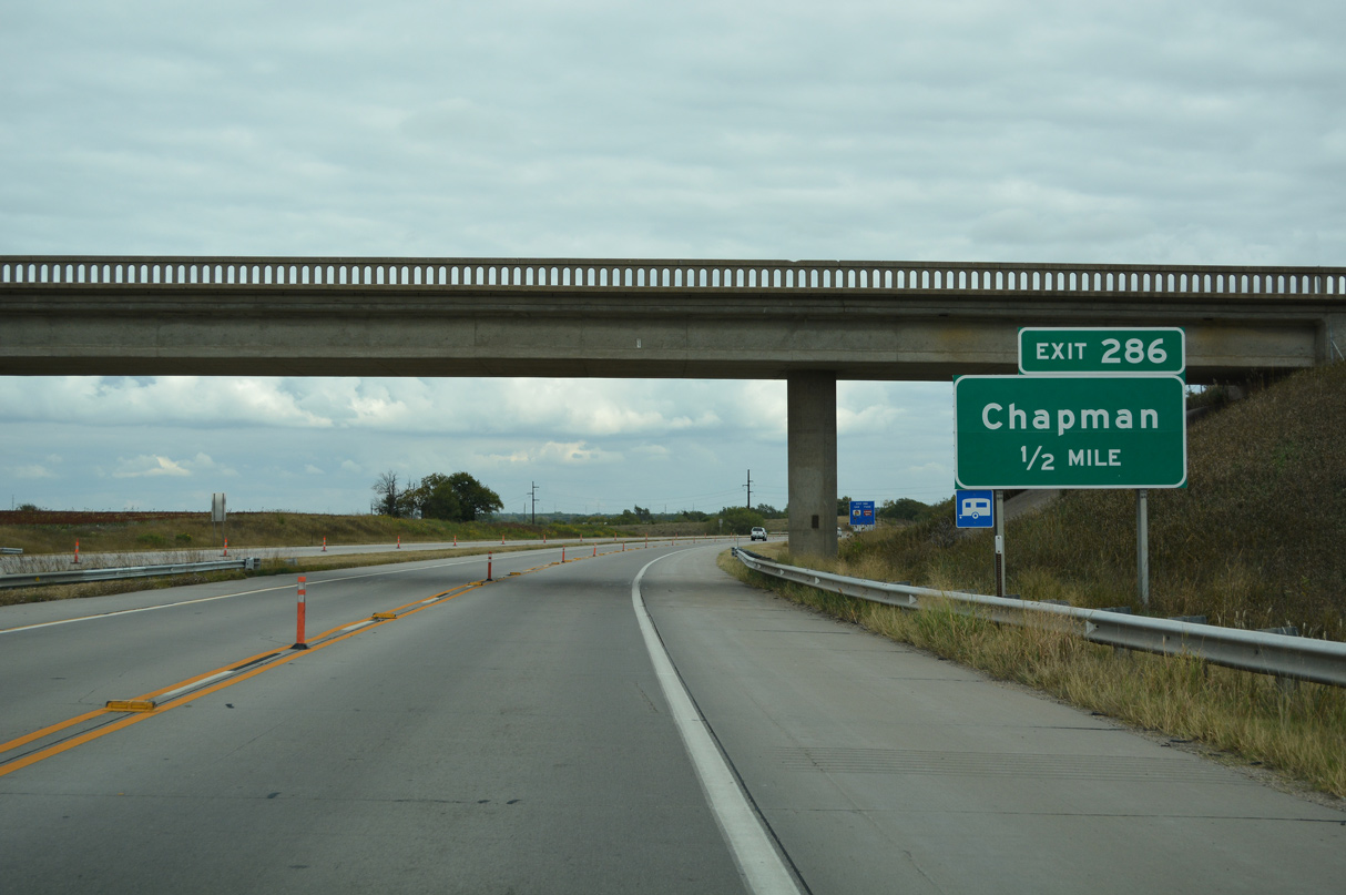
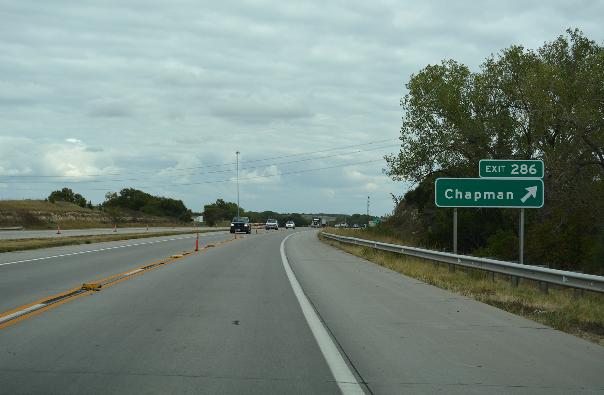
The succeeding exit at the city of Chapman links I-70/U.S. 40 east with Rain Road north and Marshall Street (old K-206) south.
10/06/21
10/06/21
10/06/21
10/06/21
10/06/21
10/06/21
10/06/21
10/06/21
10/06/21
10/06/21
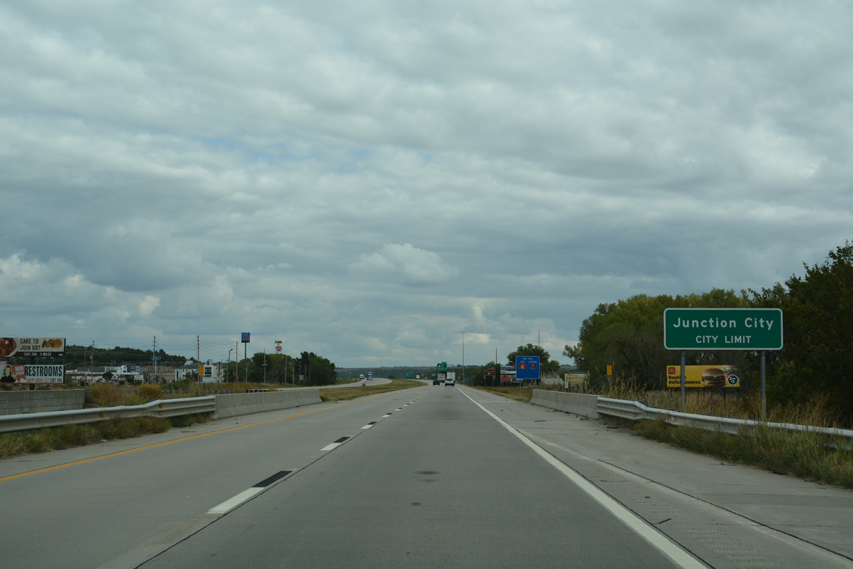
I-70/U.S. 40 enter the Junction City limits at the Spring Valley Road underpass.
10/06/21
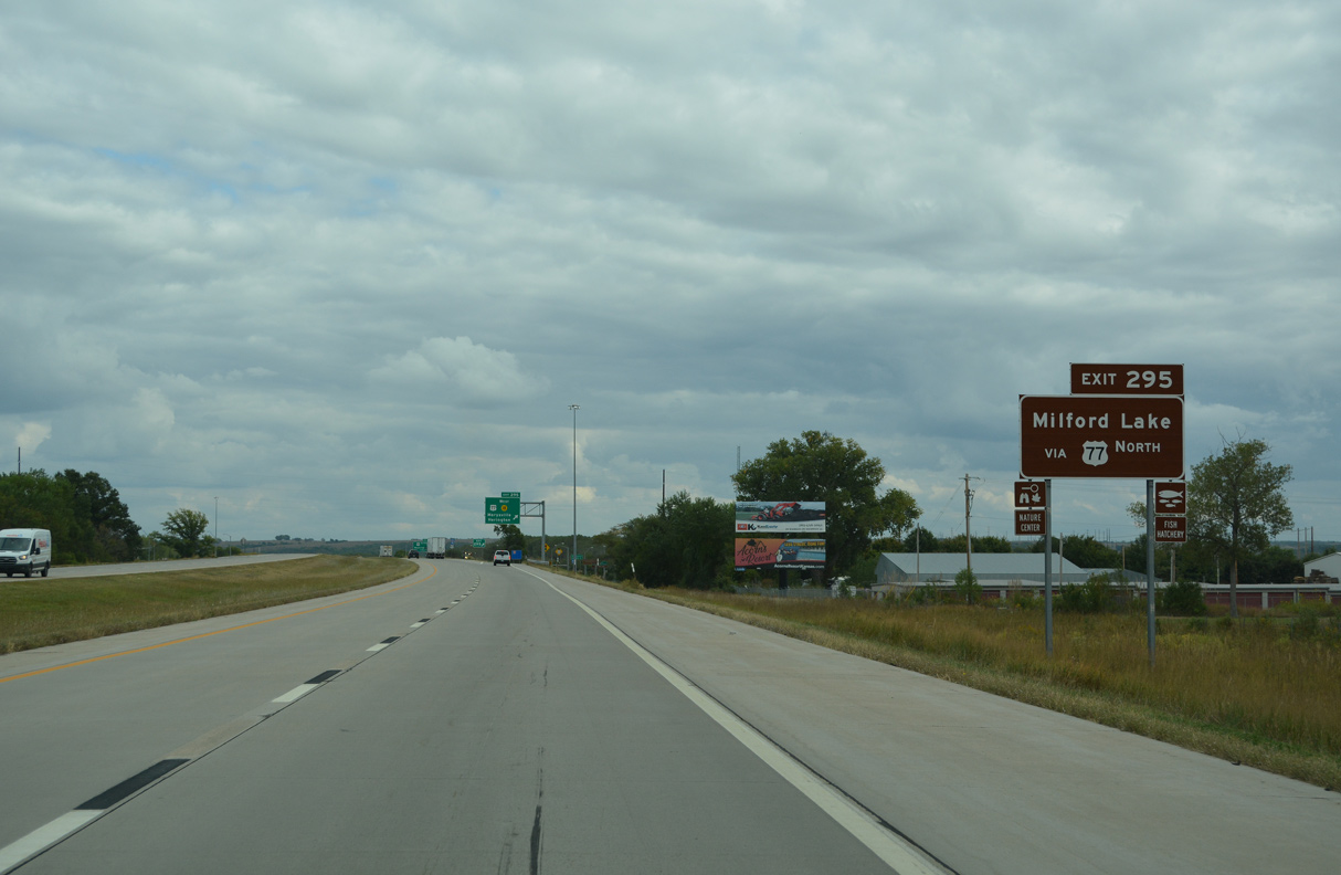
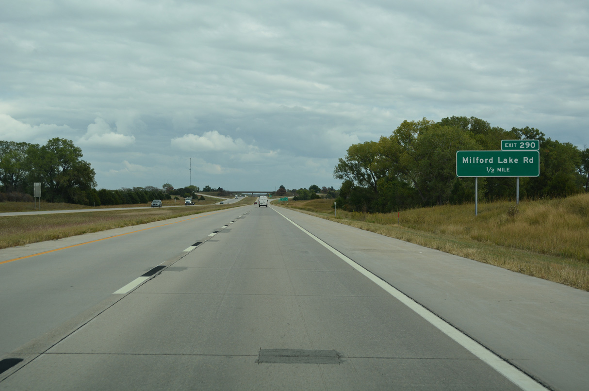
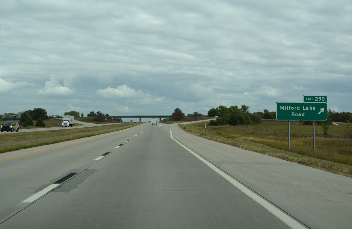
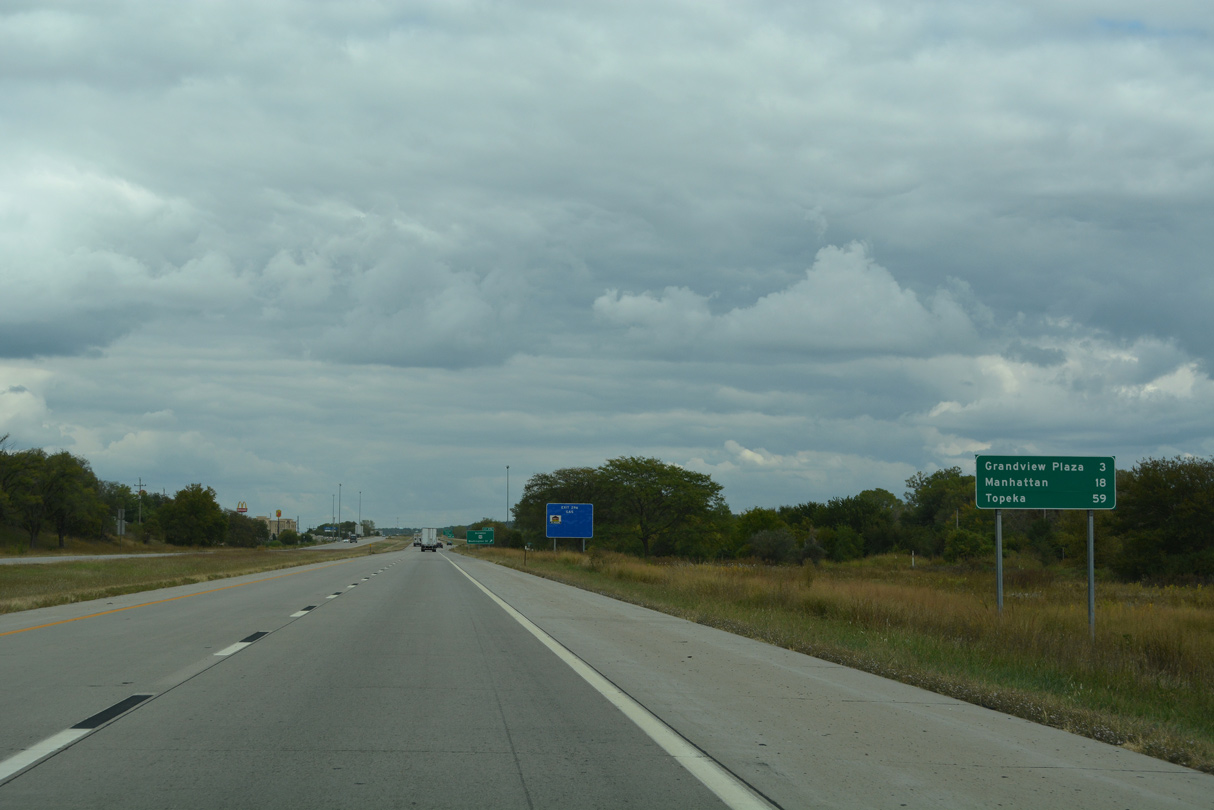
U.S. 77 travels through the west side of Junction City along a controlled access arterial with K-18 to W 8th Street. U.S. 77 continues north to Milford Lake.
10/06/21
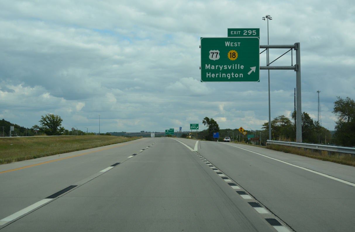
Construction in 2016 converted the exchange with U.S. 77 and K-18 west into a DDI. U.S. 77 south advances 25 miles to U.S. 56 at Herington.
10/06/21
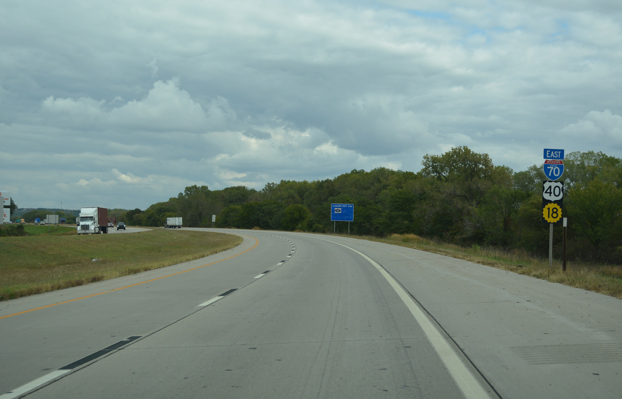
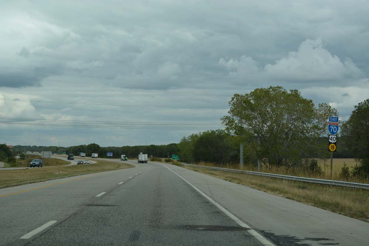
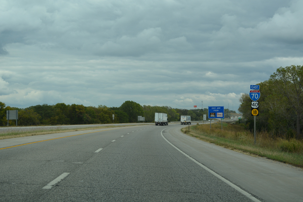
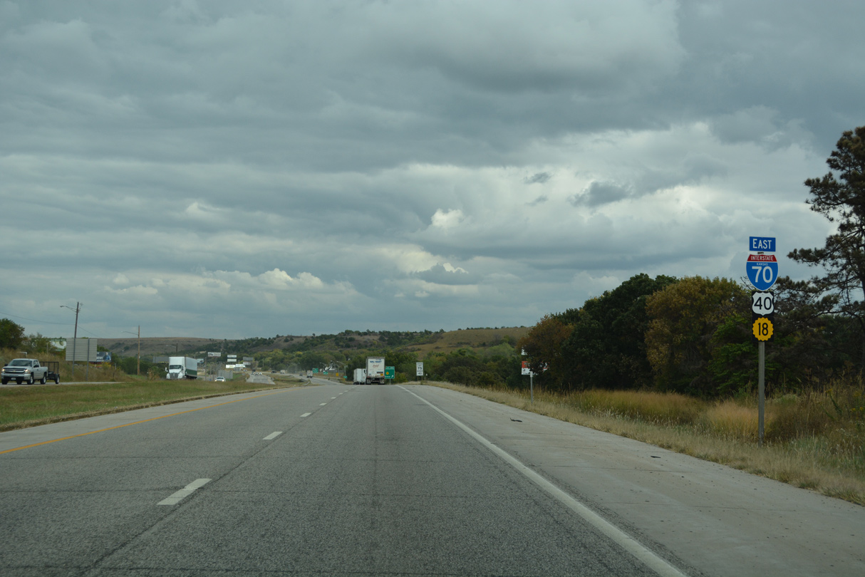
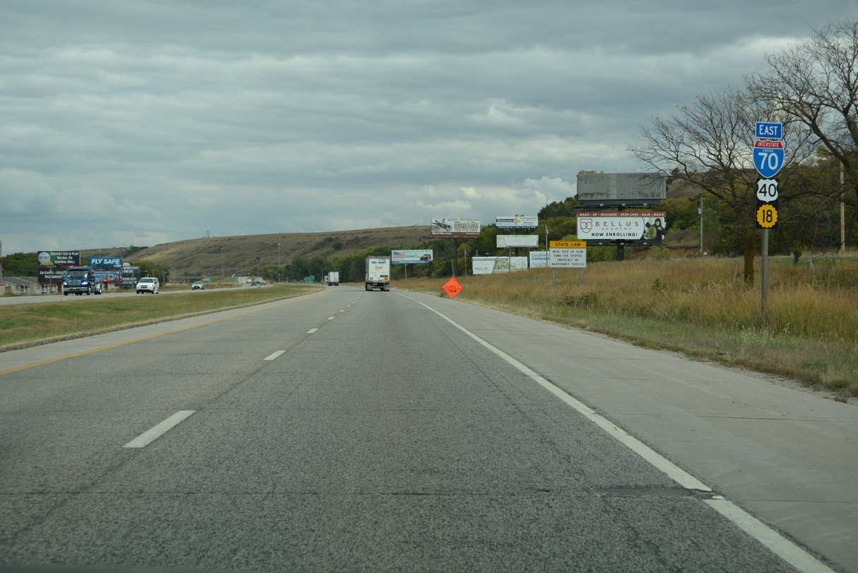
Omitted on the confirming markers posted east of U.S. 77, K-18 overlaps with I-70/U.S. 40 east for 7.93 miles.
10/06/21

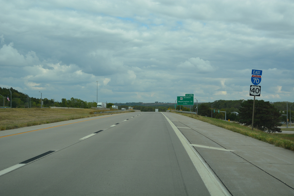
The final business route for U.S. 40 east in Kansas oops 4.02 miles north from I-70 between Exit 296 and 300.
10/06/21
10/06/21
10/06/21
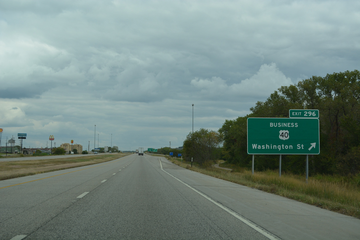
U.S. 40 Business branches north along Washington Street 1.52 miles to K-57 (6th Street) at Downtown Junction City.
10/06/21
10/06/21
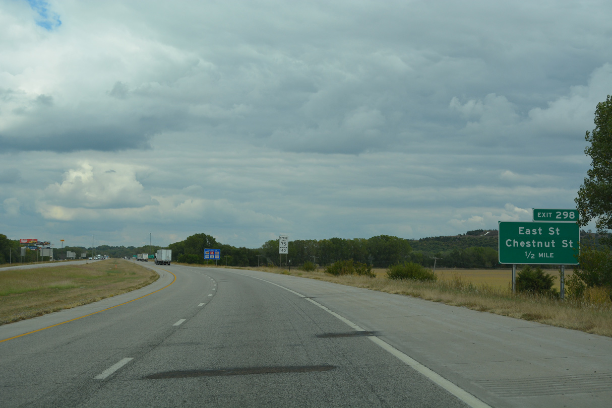
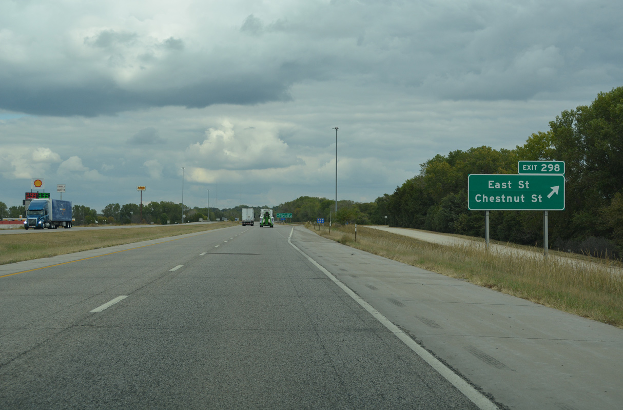
E Street south and E Chestnut Street (former K-207) converge at a roundabout on the north side of I-70-U.S. 40/K-18 at Exit 298.
10/06/21
10/06/21
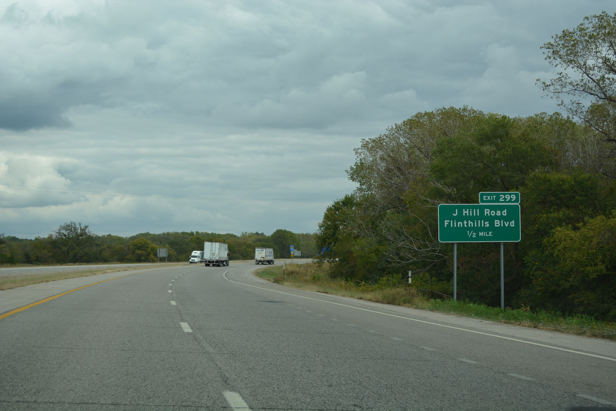
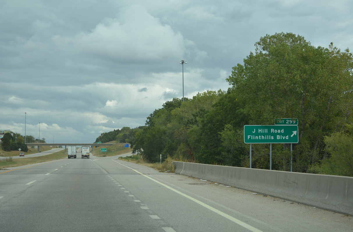
J Hill Road stems south from U.S. 40 Business/K-57 (Flint Hills Boulevard) into a diamond interchange with Interstate 70 at Exit 299.
10/06/21
10/06/21
10/06/21
10/06/21
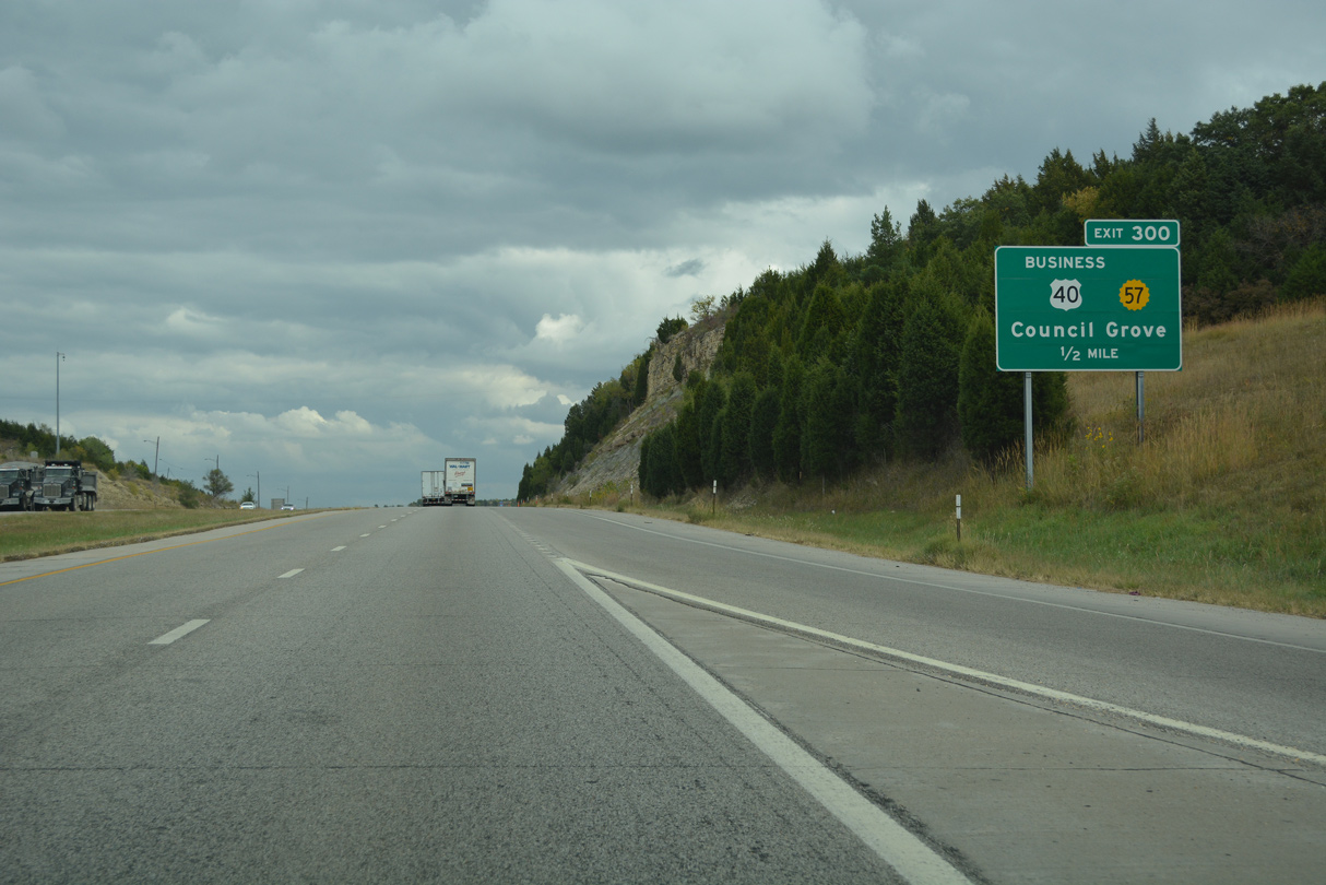
U.S. 40 Business/K-57 (Flint Hills Boulevard) overlap 2.5 miles east from Washington Street in Junction City to the modified diamond interchange at Exit 300.
10/06/21
10/06/21
10/06/21
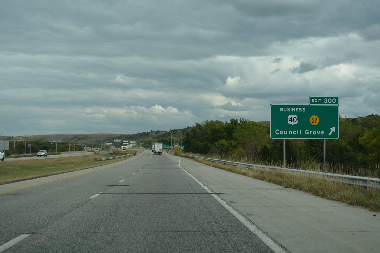
K-57 travels 19.62 miles southeast to K-4 at Dwight. Prior to 2004, K-57 continued along overlaps with K-4 and K-177 south to Council Grove.
10/06/21
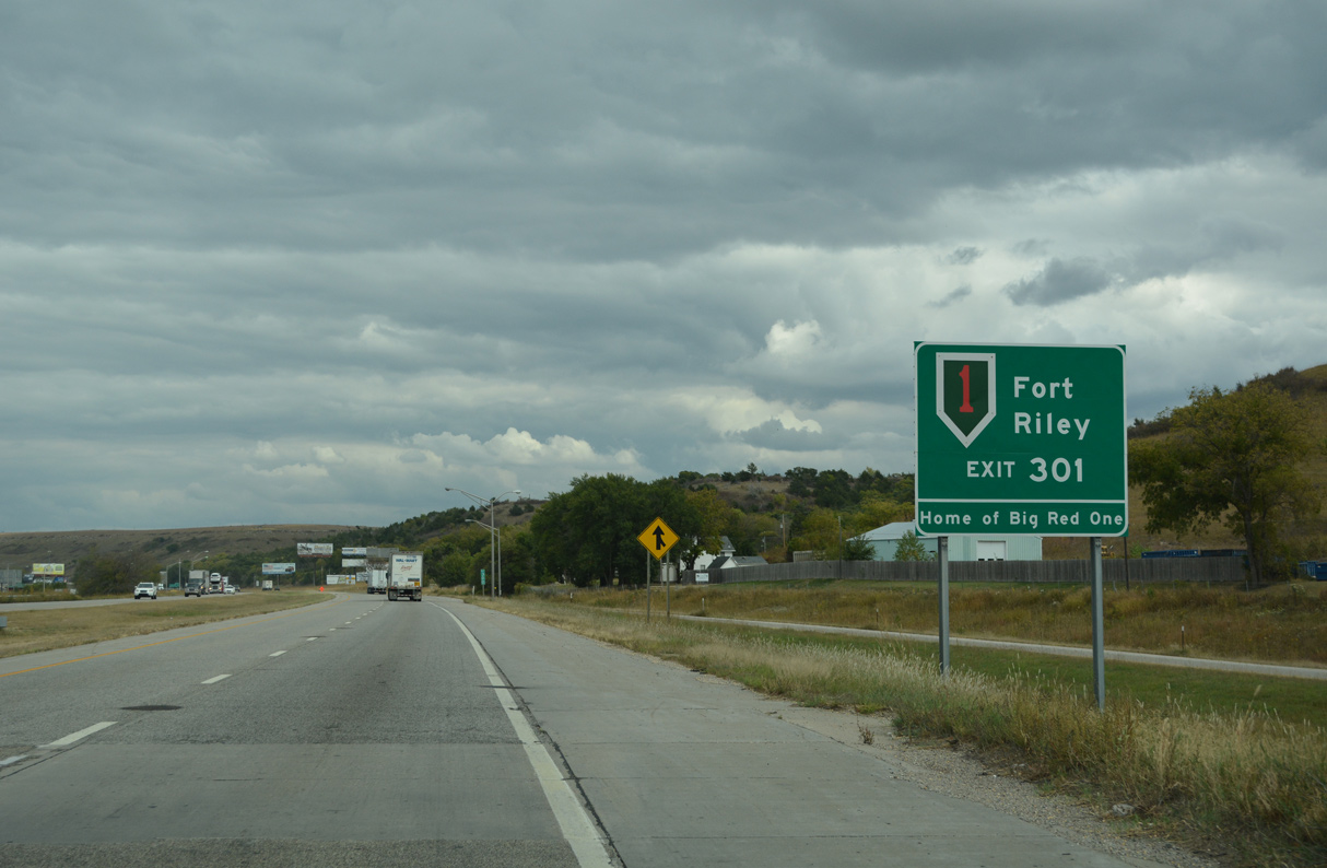
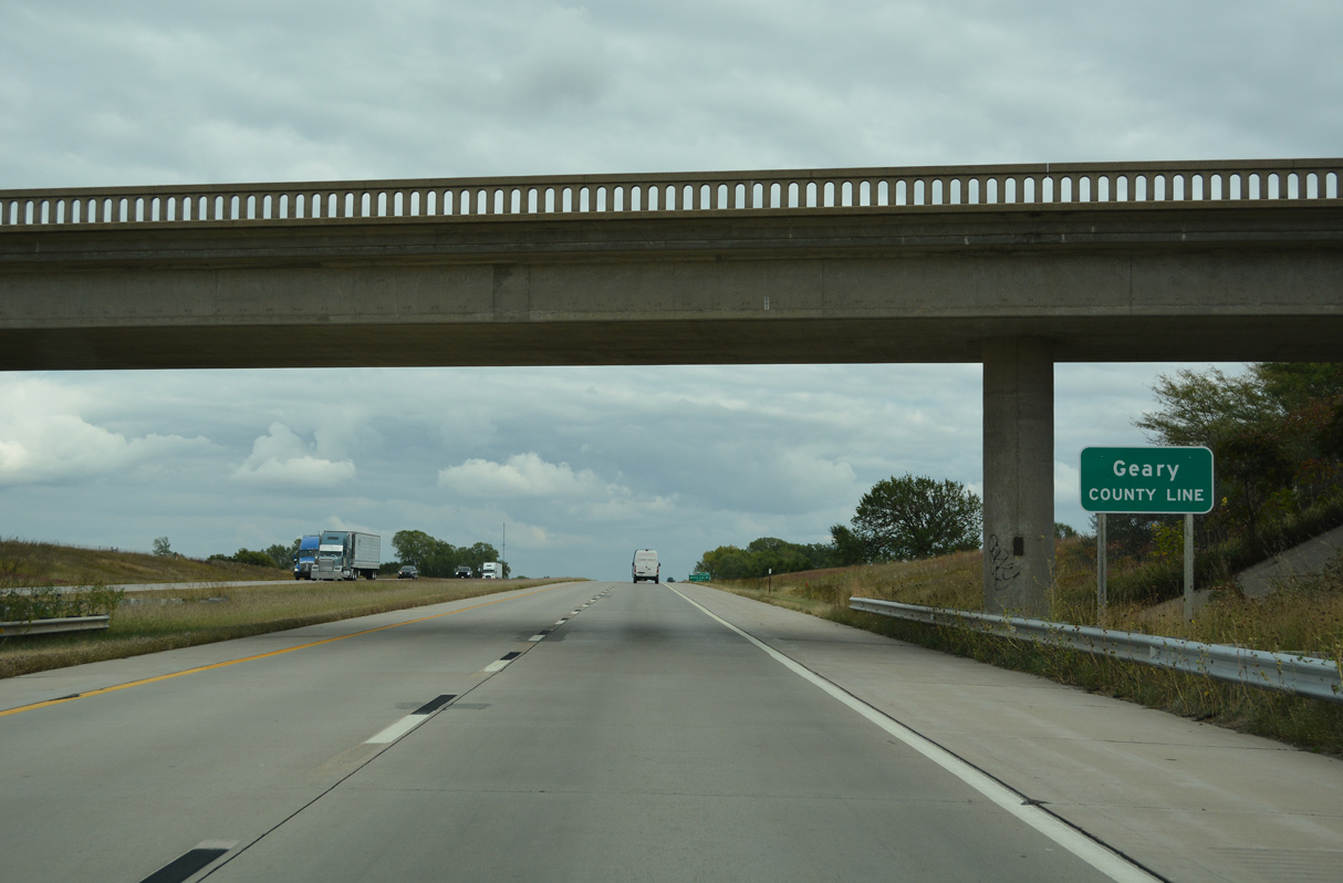
Fort Riley spreads to the north of the parallel Kansas River.
10/06/21
10/06/21
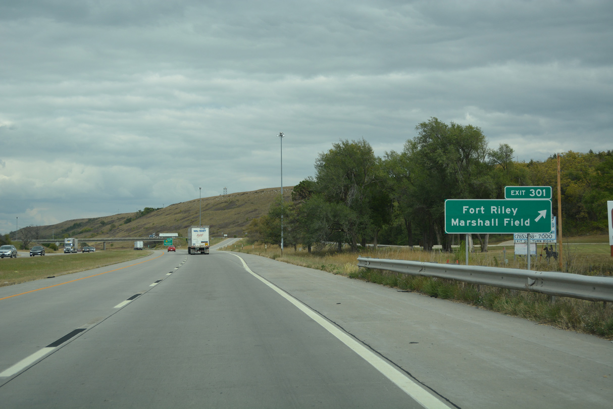
Exit 301 connects with Henry Drive north to Marshall Army Airfield.
10/06/21
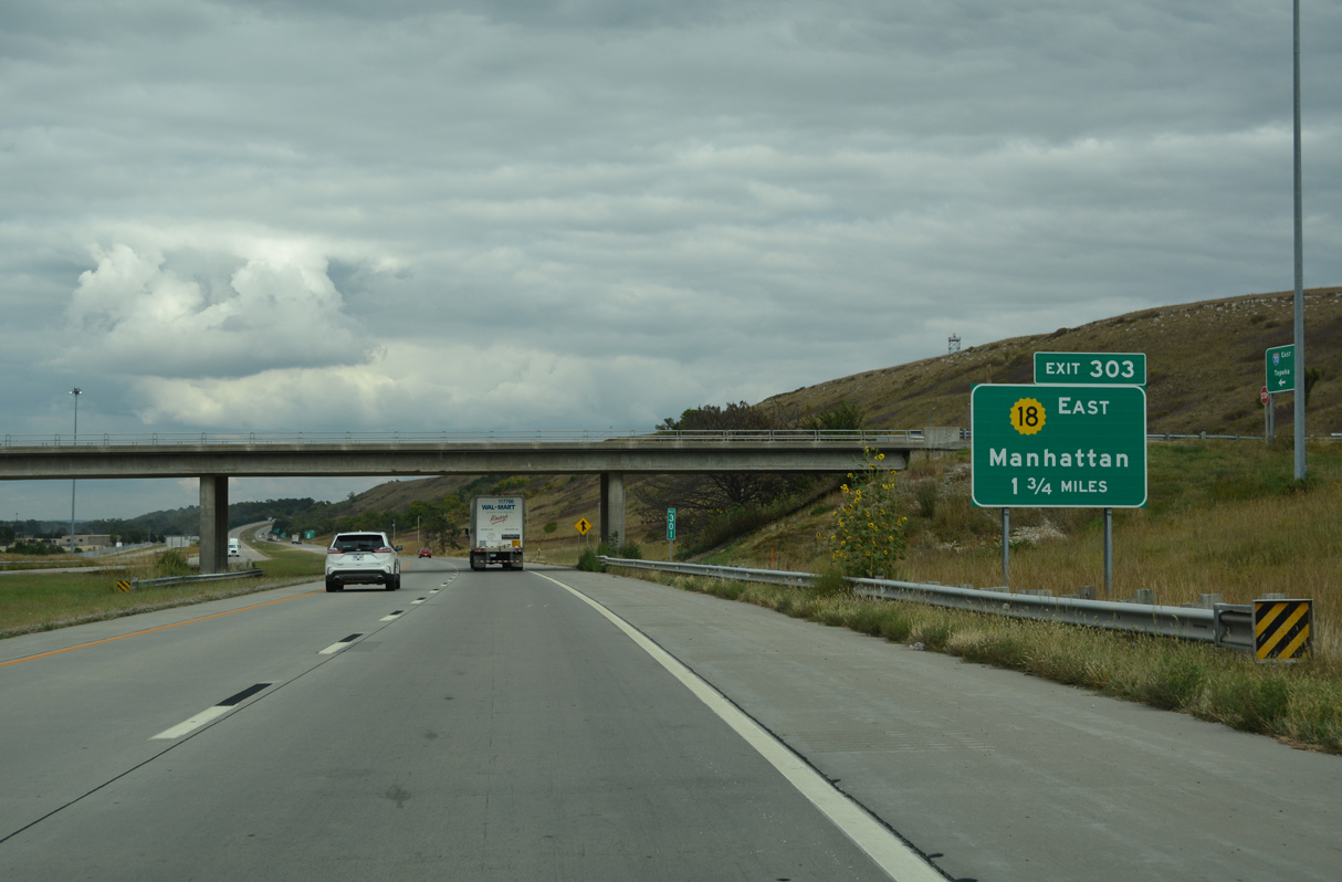
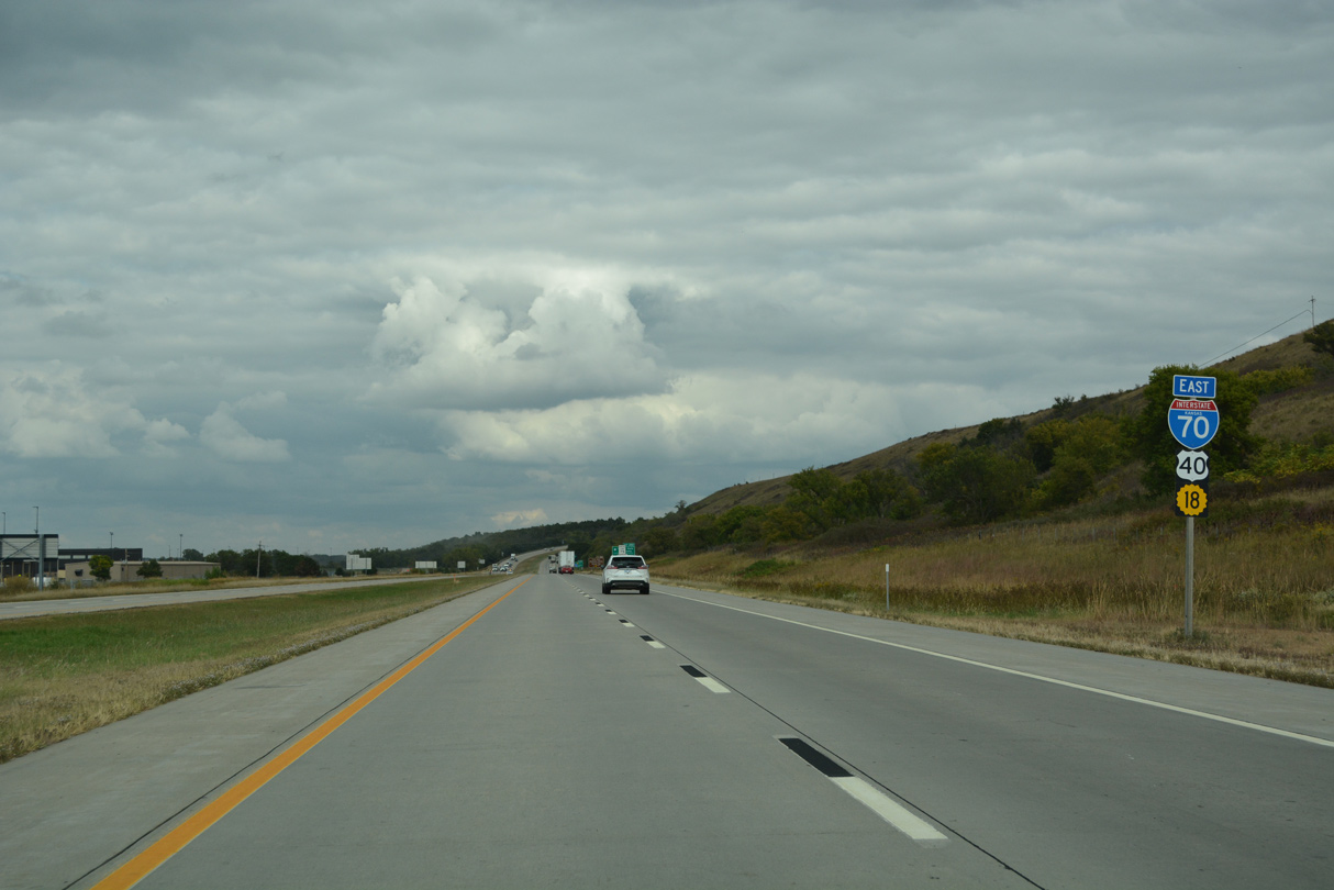
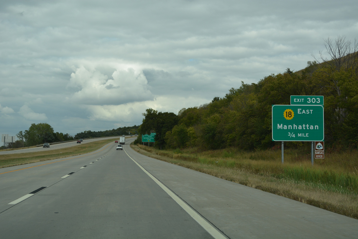
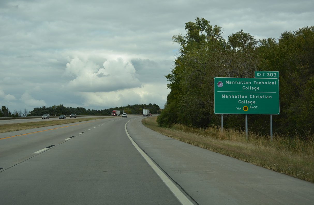
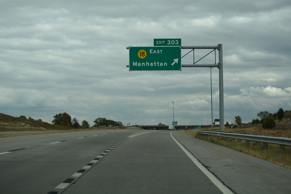
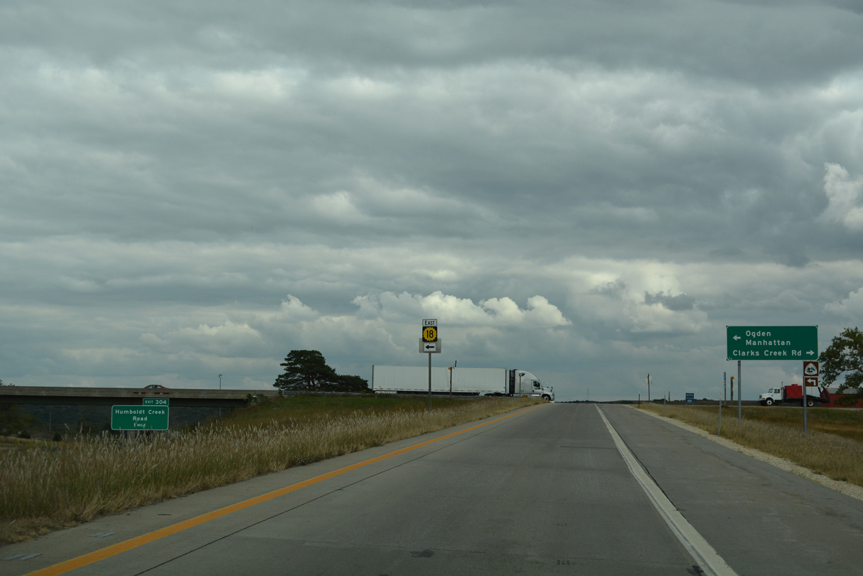
K-18 separates with I-70/U.S. 40 east along a freeway spur to Ogden and Manhattan.
10/06/21
10/06/21
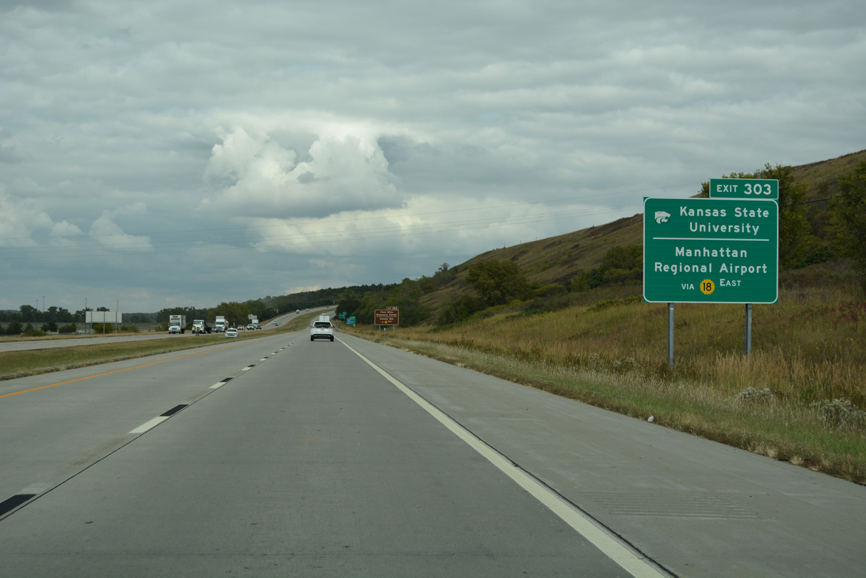
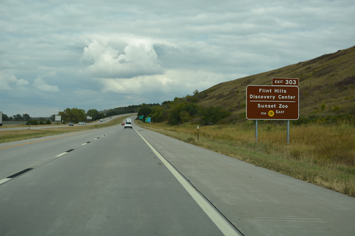
The freeway along K-18 links with Manhattan Regional Airport (MHK) and Fort Riley Boulevard east from K-113 toward Kansas State University.
10/06/21
10/06/21
10/06/21
10/06/21
10/06/21
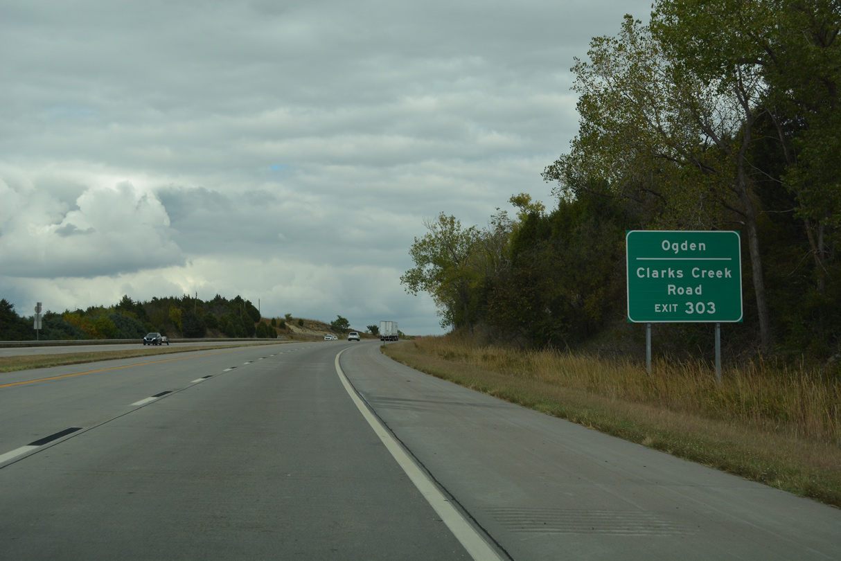
Completed in 2013, the 11.5 mile long freeway on K-18 commences just north of the diamond interchange with Clarks Creek Road at Boller Road.
10/06/21
10/06/21
East
10/06/21
10/06/21
10/06/21
10/06/21
10/06/21
10/06/21
10/06/21
10/06/21
10/06/21
10/06/21
10/06/21
10/06/21
10/06/21
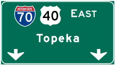

Photo Credits:
10/06/21 by AARoads
Connect with:
Highway 18
Page Updated 11-10-2021.