|
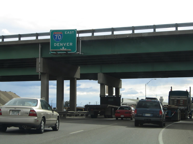
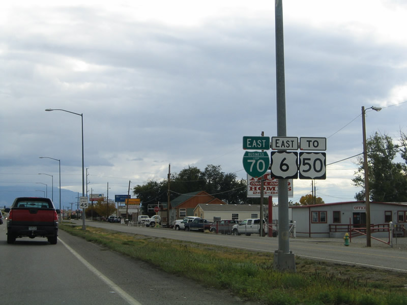
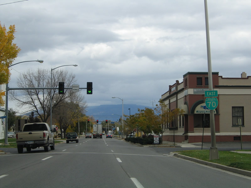
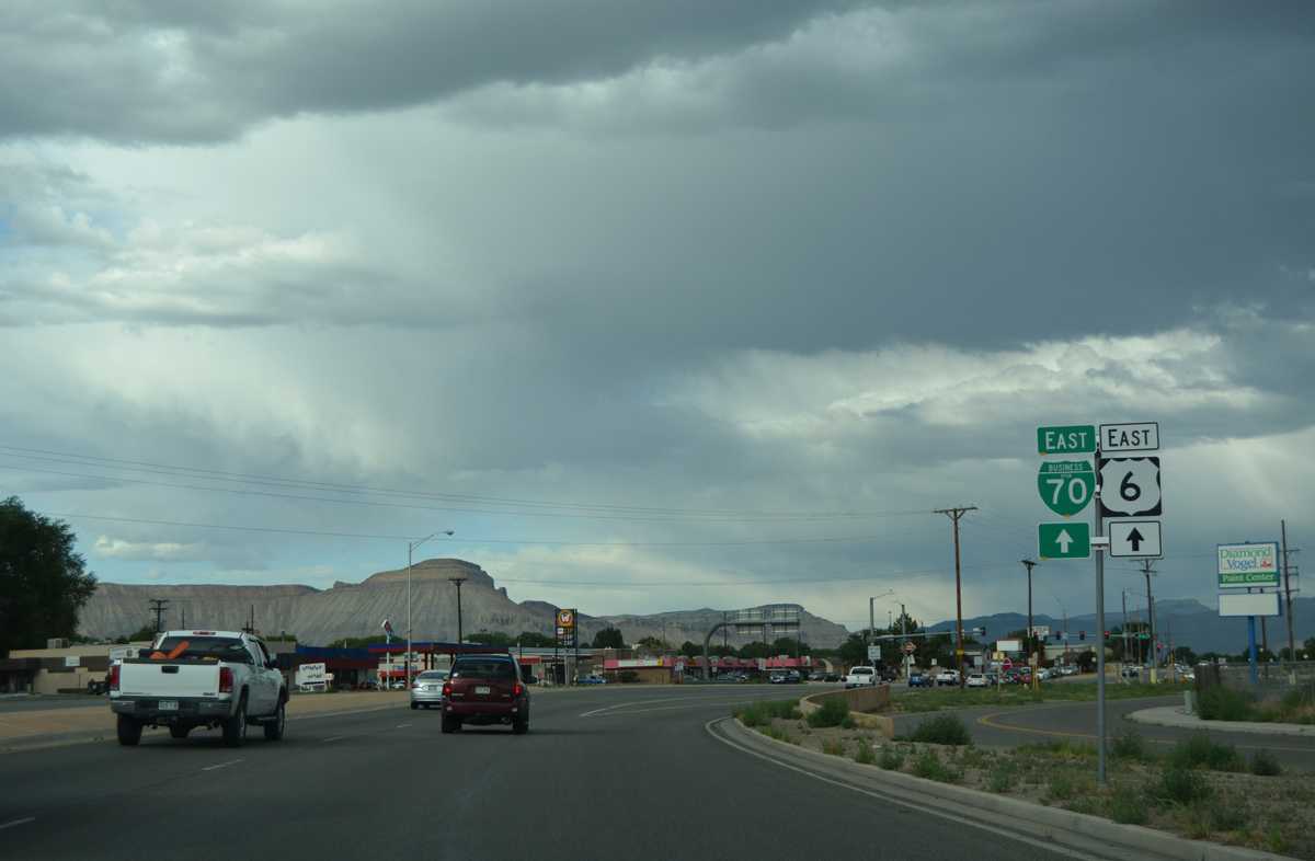
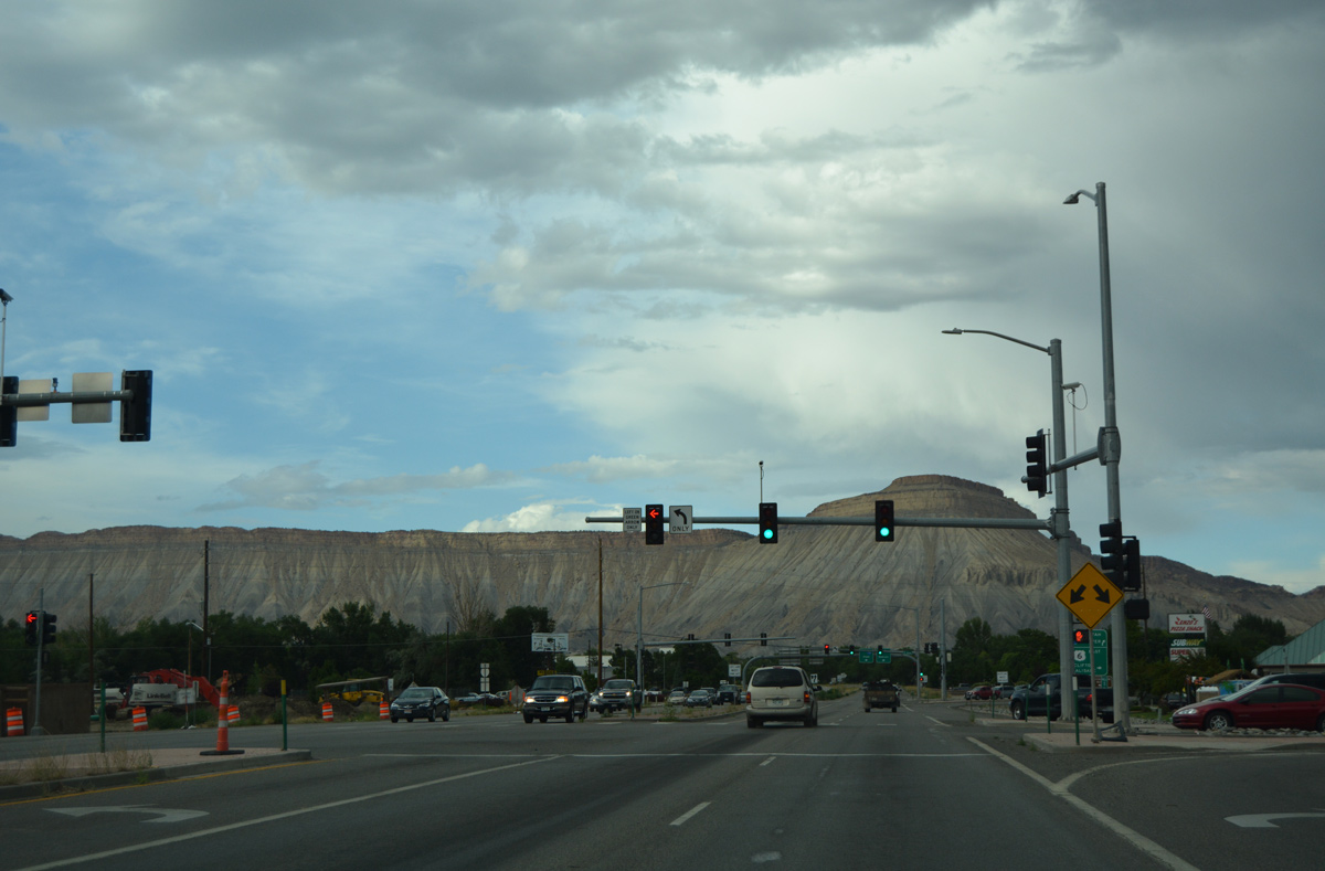
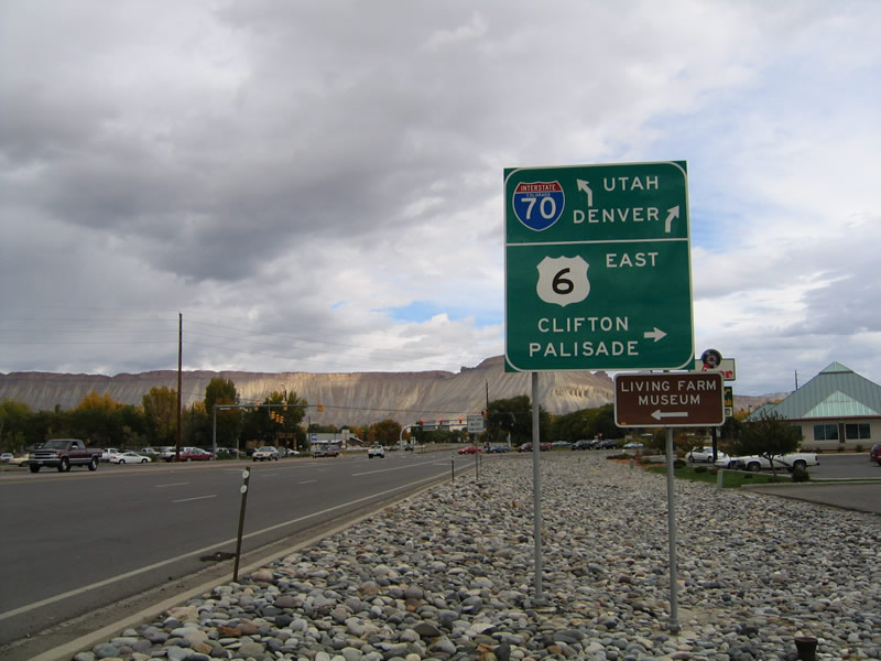
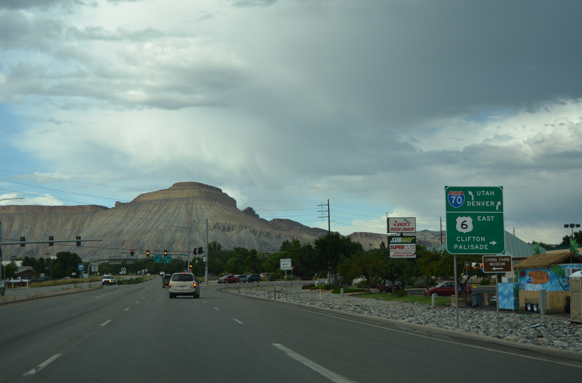
| Passing through the original diamond interchange joining Interstate 70, U.S. 6 and U.S. 50 with Business Loop I-70 east into Grand Junction. Traffic patterns for the DDI switched on July 12, 2013, with the travel lanes of U.S. 6 transposed below the I-70 overpass here. 10/18/04 |
|
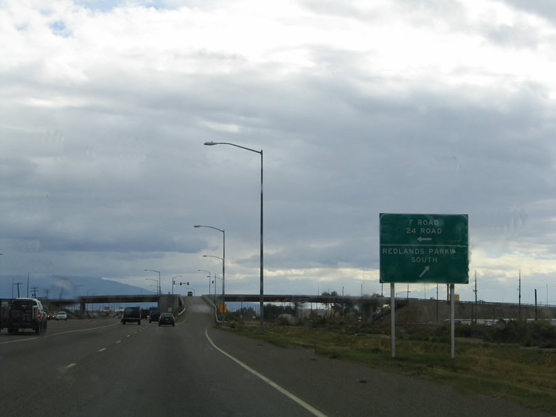
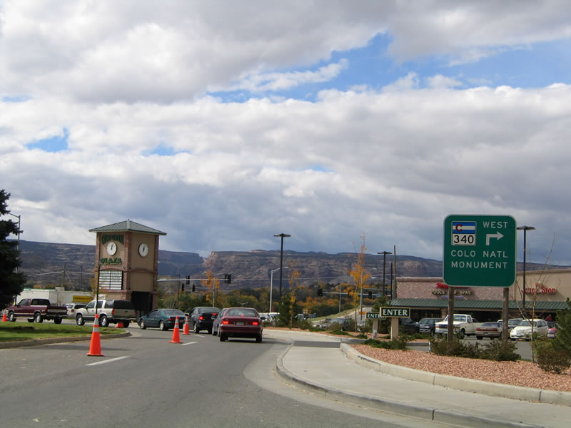
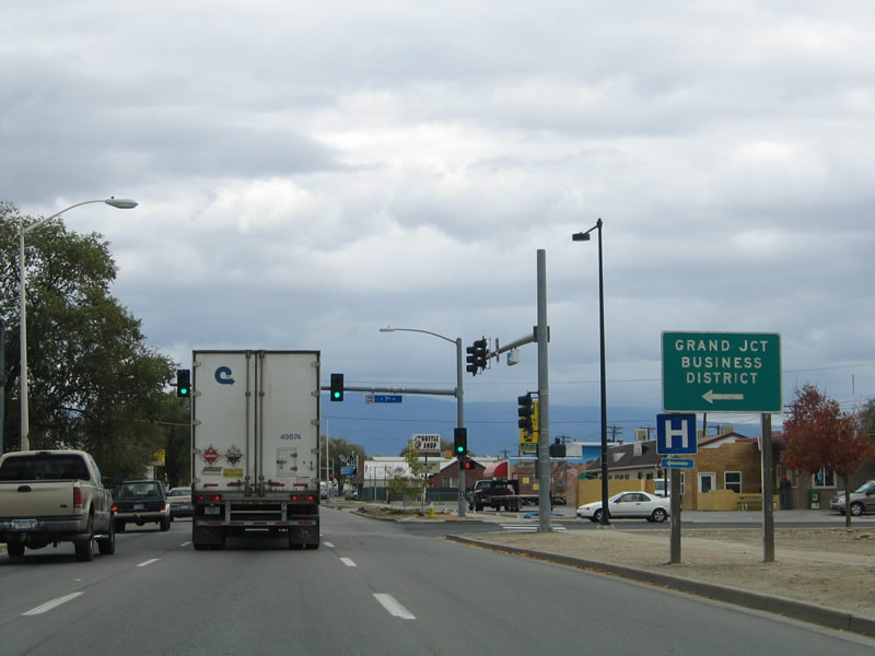
| Business Loop I-70/U.S. 6-50 parallel the Union Pacific Railroad line southeast to a parclo interchange with 24 Road north and Redlands Parkway west. Redland Parkway extends west from 24 Road to cross the Colorado River en route to SH 340 at Redlands. SH 340 leads to Colorado National Monument. 10/18/04 |
|
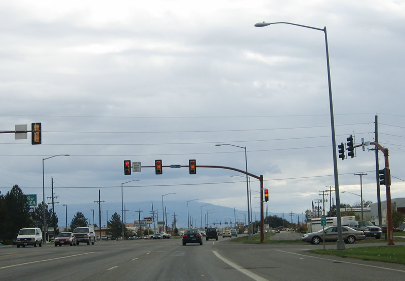
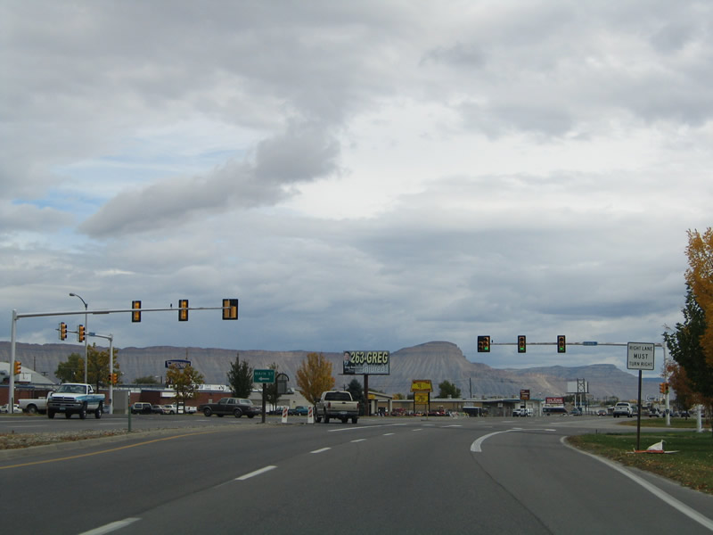
| Business Loop I-70 expands into a six lane highway by Mesa Mall. A center median was added and the road was rebuilt with concrete by 2012. This scene looks at the prior five lane boulevard at 24 1/2 Road. 10/18/04 |
|
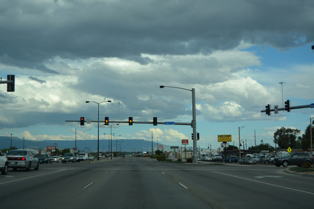
| The commercialized stretch along Business Loop I-70 continues southeast from Mesa Mall to Downtown Grand Junction. 24 3/4 Road connects the arterial with Grand Mesa Center shopping center to the north and Independent Avenue along the UP Railroad to the south. 08/10/16 |
|
| 2012 construction of the frontage road system for Business Loop I-70 east of 24 3/4 Road resulted in a drastic change to this scene east of 24 3/4 Road. The shields posted here were not retained. 10/18/04 |
|
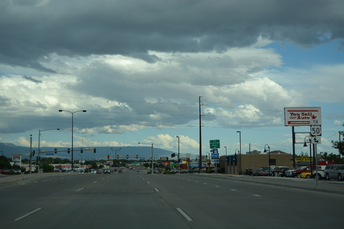
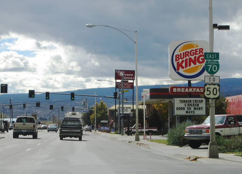
| A U.S. 50 trailblazer precedes the intersection with 25 Road. 25 Road south to Riverside Parkway provides a bypass of Downtown Grand Junction for the continuation of U.S. 50 east across the Colorado River. U.S. 50 is not formally acknowledged along its overlap with Business Loop I-70/U.S. 6. 08/10/16 |
|
| Road travels north from Business Loop I-70 across an industrial park area to Western Colorado Community College and residential areas toward I-70. 08/10/16 |
|
| Rimrock Avenue arcs southeast to the Rimrock Marketplace big box retail area. 08/10/16 |
|
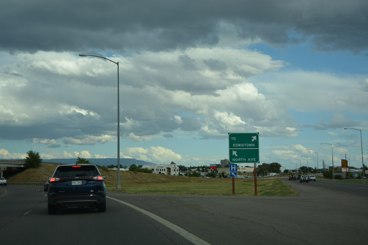
| Drivers continuing east from Rimrock Avenue enter a wye interchange where U.S. 6 splits to the east along North Avenue. North Avenue acts as a bypass route to the north of Downtown Grand Junction. 08/10/16 |
|
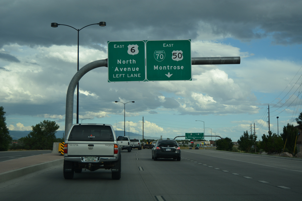
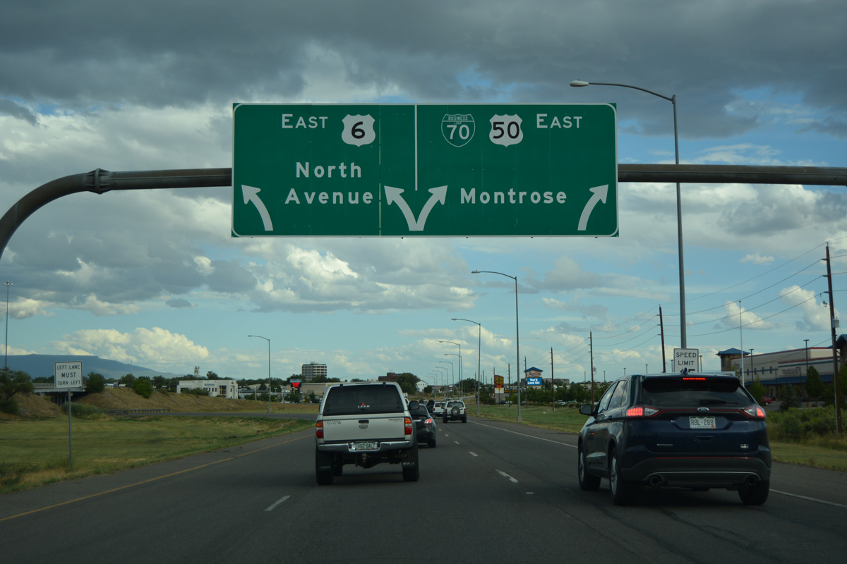
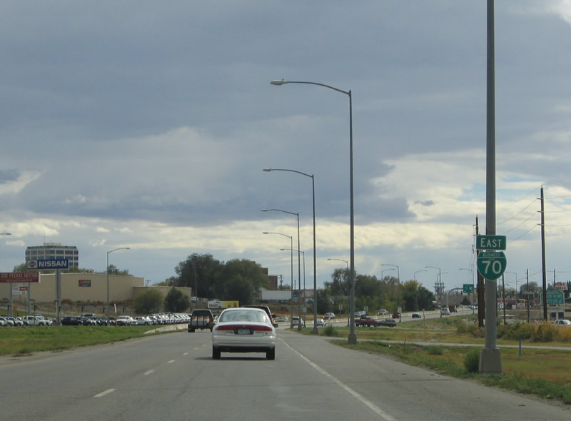
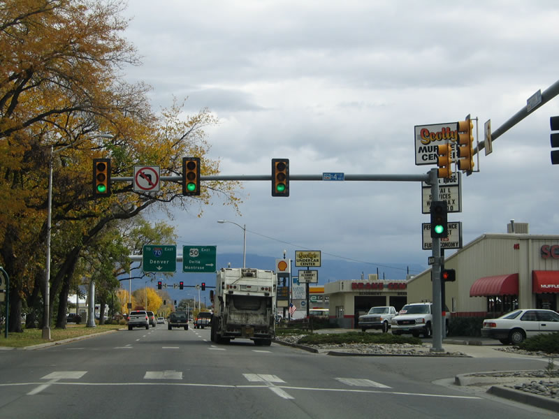
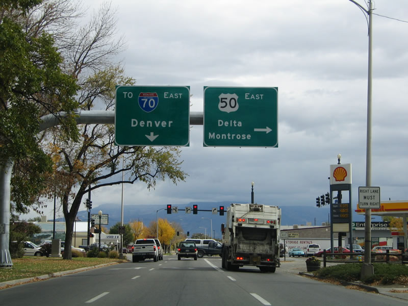
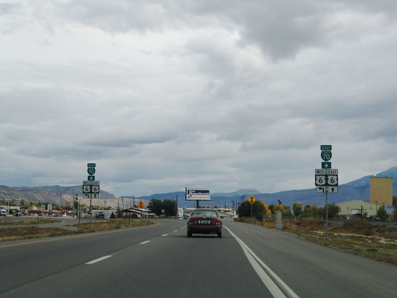
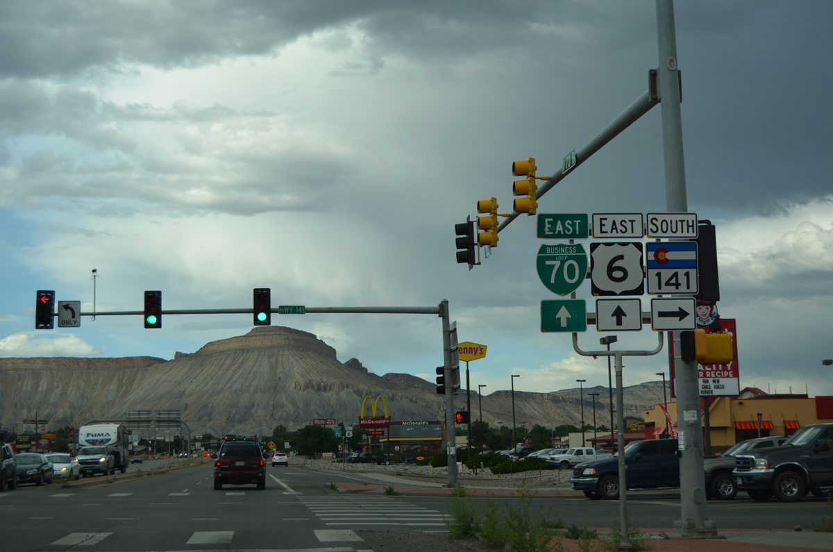
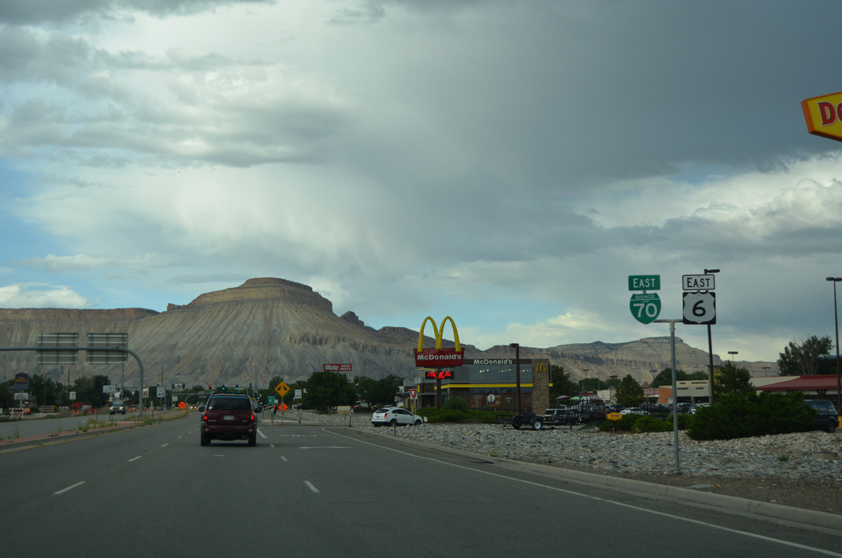
| An arrow-per-lane sign was in place at the Business Loop I-70/U.S. 50 separation with U.S. 6 (North Avenue) by 2004. The control city of Montrose is located on U.S. 50, 52 miles south of Grand Junction, and southeast of Delta. 08/10/16 |
|
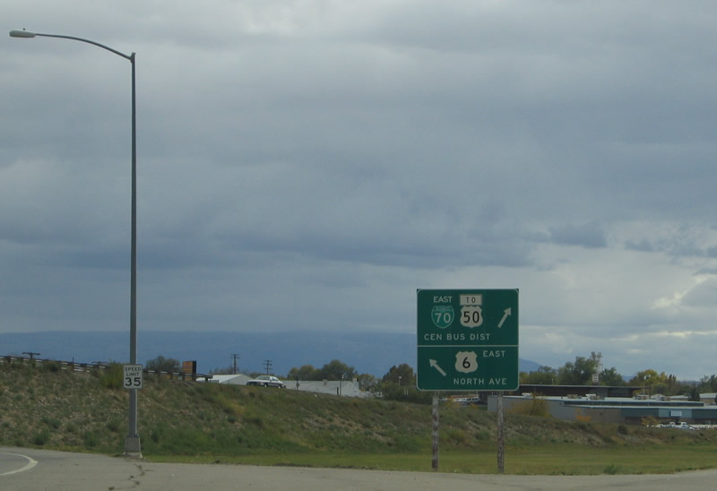
| Two lanes join North Avenue, segment B of U.S. 6 in Colorado. North Avenue comprises a multi-lane arterial east to Colorado Mesa University.
Blank spaces on the gore sign here allude to shields for the three routes once posted here. 08/10/16 |
|
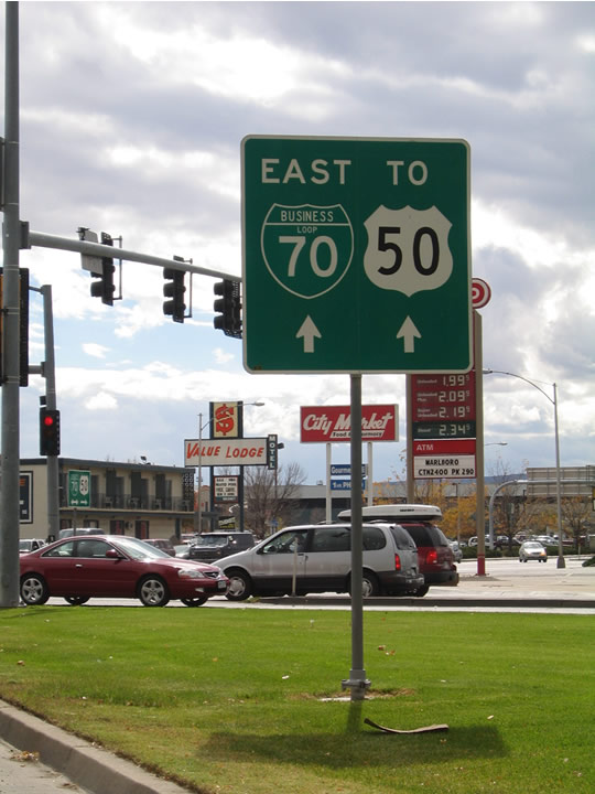
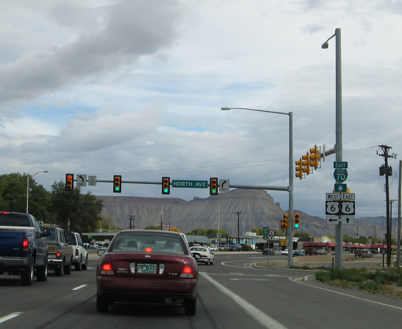
| The previous gore sign at the Business Loop I-70 eastbound split with U.S. 6 included a trailblazer for U.S. 50. Officially, U.S. 50 does not start in Colorado until its separation with Business Loop I-70 in Downtown Grand Junction. 10/18/04 |
|
| Confirming marker for Business Loop I-70 posted beyond the left side ramp for North Avenue. 10/18/04 |
|
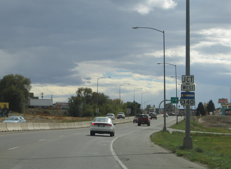
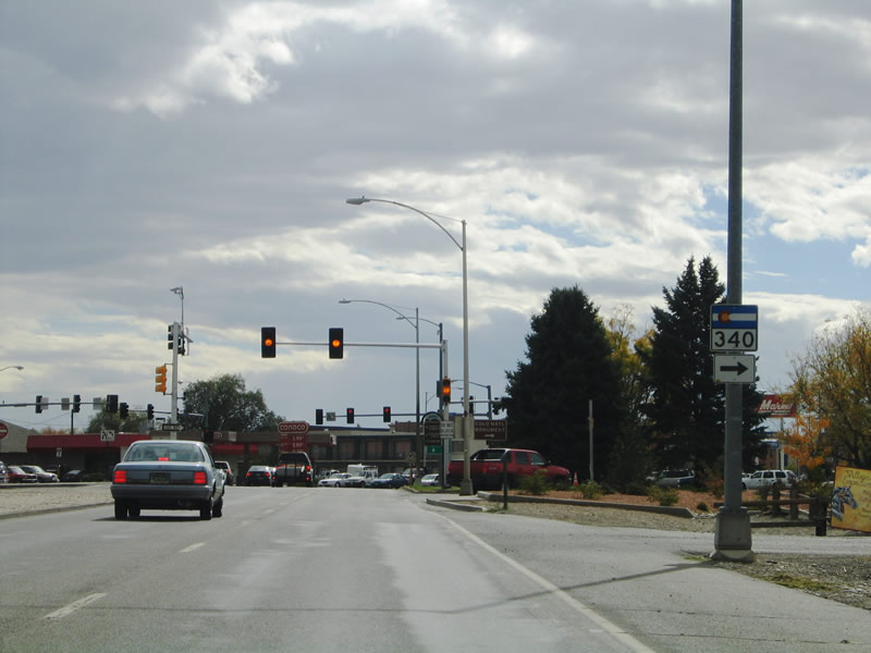
| A right in right out (RIRO) intersection join Business Loop I-70/U.S. 50 with adjoining businesses and the adjacent street grid. The arterial remains with access control to SH 340 (Grand Avenue) west. 10/18/04 |
|
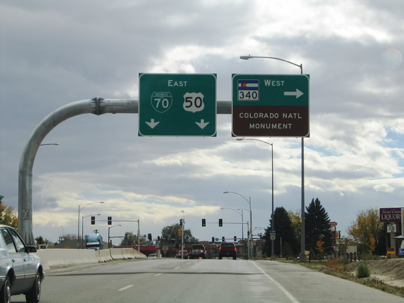
| SH 340 leads west to Colorado National Monument. Established on May 24, 1911, this national monument preserves the sheer cliffs and rock faces rising above the Grand Valley at the edge of the Uncompahgre Uplift. Several geological features, such as the Book Cliffs and Grand Mesa, are part of the monument. Elevations range between approximately 4,700 feet above sea level at the canyon floor and 7,200 feet above sea level on top of the mesa. The Rim Rock Drive offers a 23 mile scenic drive through the monument. A standalone rock formation is Independence Monument, which is also part of the national monument.1 10/18/04 |
|
| SH 340 is a 13.34 mile loop route that connects Downtown Grand Junction with Colorado National Monument by way of Redlands. The state highway concludes at U.S. 6 in Fruita after skirting the northern area of the national monument. 10/18/04 |
|
| Spruce Street south provides a direct route from Business Loop I-70 east to SH 340 west from Grand Avenue. 10/18/04 |
|
| A small guide sign precedes 1st Street, which takes Business Loop I-70/U.S. 50 south from Grand Avenue (SH 340) to Downtown. 10/18/04 |
|
| 1st Street constitutes a commercial corridor with fast food, strip malls and motels lining the business route. Business Loop I-70 remains as a four lane commercial boulevard to the couplet of Pitkin and Ute Avenues through Downtown Grand Junction.
This shield assembly for Business Loop I-70 east was removed by 2012. 10/18/04 |
|
| Turning from southeast to east, Business Loop I-70 and U.S. 50 enter Downtown Grand Junction via Pitkin Avenue. 10/18/04 |
|
| U.S. 50 turns south along 5th Street to leave Business Loop I-70 at Whitman Park. The US highway continues southeast from Grand Junction to Whitewater, Delta and Montrose as a four lane highway. 10/18/04 |
|
| Confirming marker for Business Loop I-70 east at 6th Street. For the first time since beginning, the route travels without any U.S. highway companions. 10/18/04 |
|
| Eastbound Business Loop I-70 (Pitkin Avenue) at 7th Street. A way finding sign for Downtown, the Botanical Gardens and the Riverfront Trail replaced this guide sign for the Grand Junction business district by 2007. 10/18/04 |
|
| Shifting northward, Pitkin Avenue combines with Ute Avenue to form a controlled access expressway for Business Loop I-70 ahead of Main Street. Main Street provides return access to Downtown Grand Junction. 10/18/04 |
|
| Advancing east, Business Loop I-70 again parallels the Union Pacific Railroad line to 29 Road. A $19.3 million project completed by November 2011 extended 29 Road south from D 1/2 Road across both the business route and railroad tracks. The new 871 foot long bridge joins Orchard Mesa with Grand Junction.2,3 An eastbound off-ramp provides direct access from the business loop to 29 Road while Teller Avenue connects westbound via a RIRO connection. 10/18/04 |
|
| U.S. 6 and Business Loop I-70 converge at the east end of North Avenue. 10/18/04 |
|
| North Avenue constitutes a commercial arterial for U.S. 6 west to several shopping centers, the VA Medical Center, Lincoln Park and Colorado Mesa University. 10/18/04 |
|
| Trailblazers for Business Loop I-70/U.S. 6 stand at the beginning of their 2.8 mile concurrency to Clifton. 08/10/16 |
|
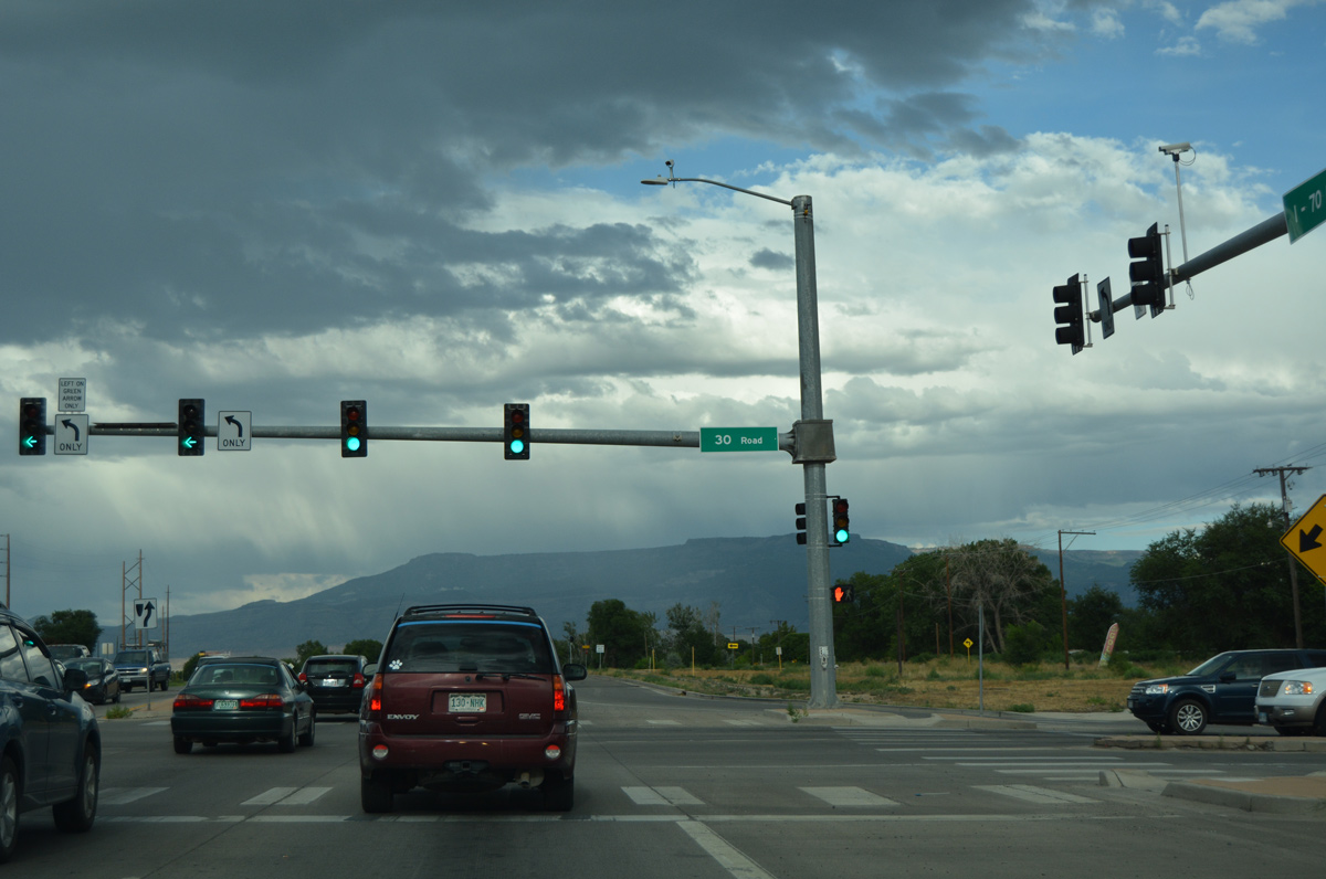
| 30 Road crosses paths with Business Loop I-70/U.S. 6 north from the Pear Park area of east Grand Junction to unincorporated Fruitvale. 08/10/16 |
|
| Frontage roads accompany the north side of Business Loop I-70 through Fruitvale while the UP Railroad remains to the immediate south. 08/10/16 |
|
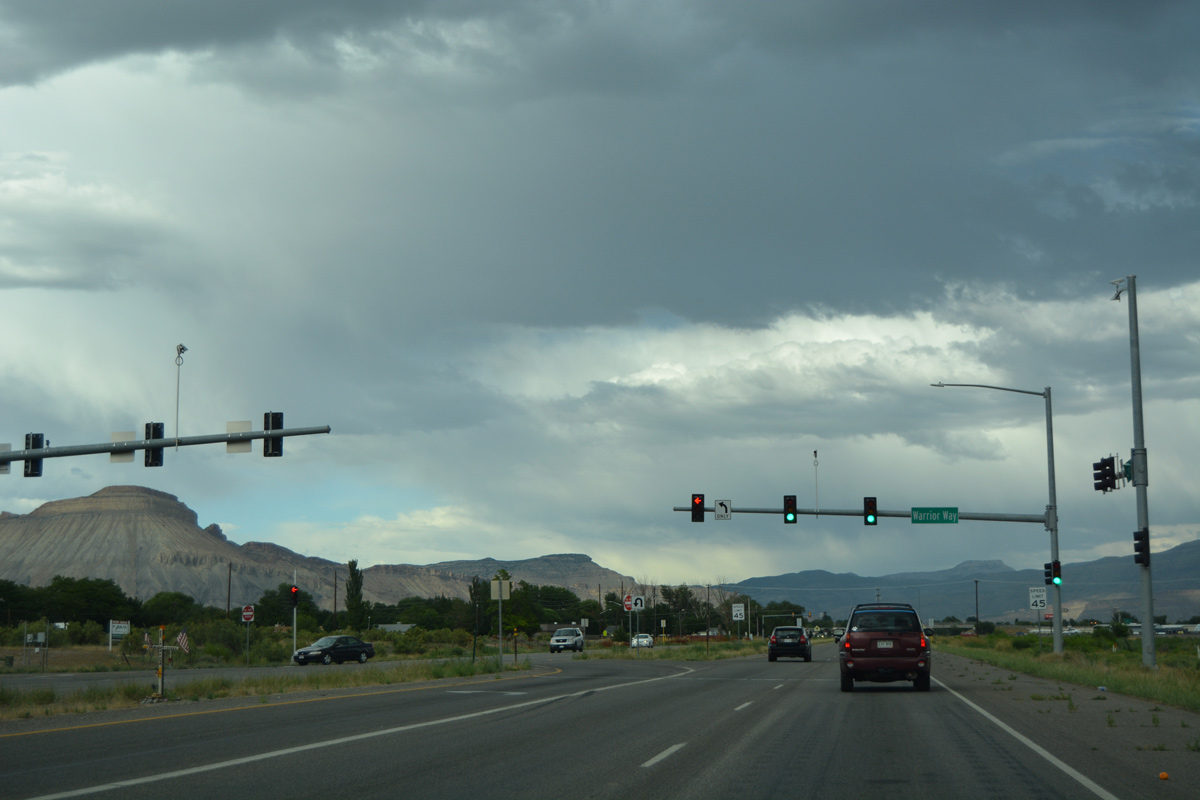
| Warrior Way stems north from Business Loop I-70 to East 1/2 Road and Central High School. 08/10/16 |
|
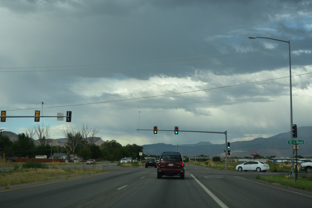
| 31 1/2 Road follows at the succeeding traffic light to head south to an industrial park and E Road in Clifton. 08/10/16 |
|
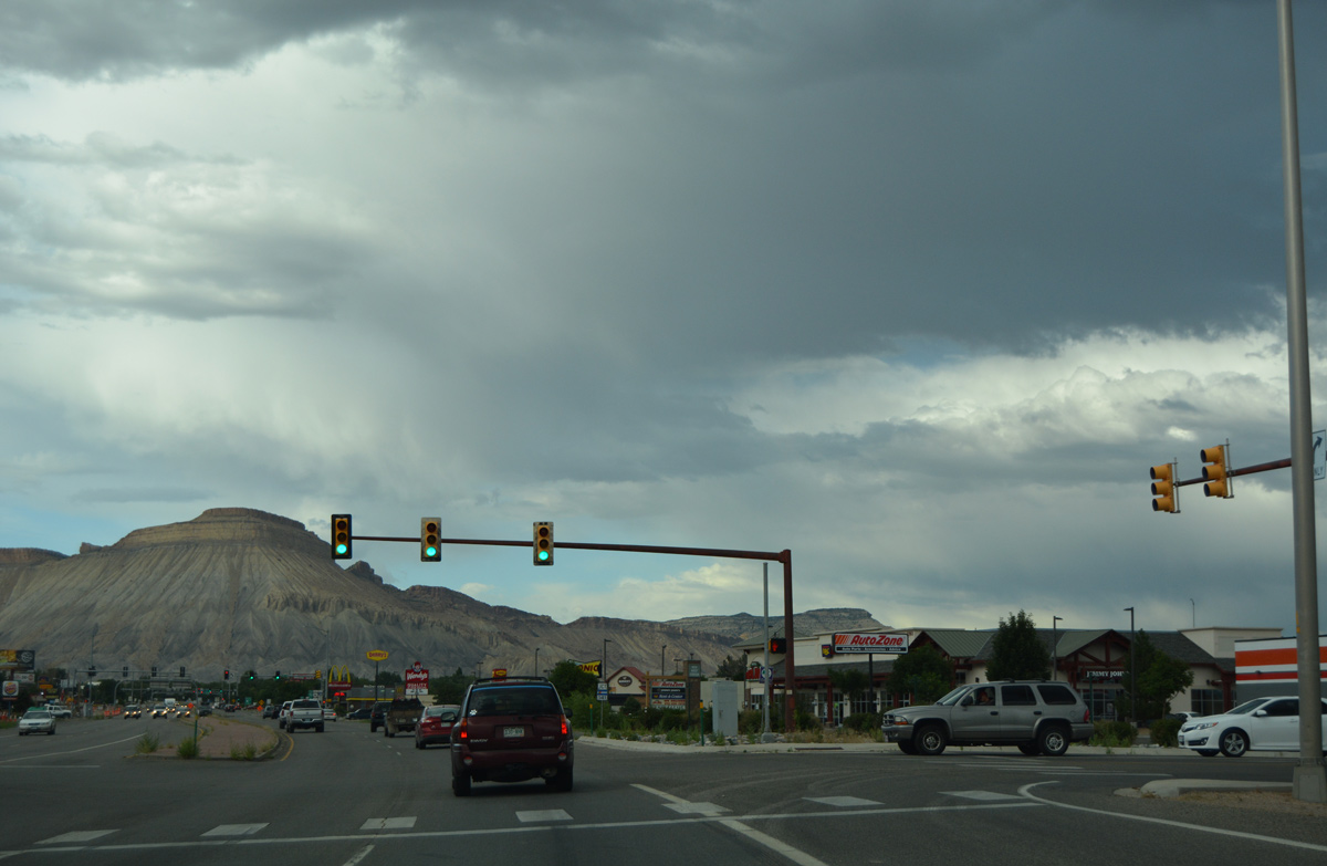
| 32nd Road hooks west from the upcoming end of SH 141 to Coronado Plaza shopping center and Business Loop I-70 at this signalized intersection. 08/10/16 |
|
| Business Loop I-70/U.S. 6 curve northward and transition into a commercial arterial at SH 141 (32 Road). 08/10/16 |
|
| 5.55 miles in length, Segment B of SH 141 (32 Road) provides a cut off from Business Loop I-70 westbound to U.S. 50 east to Delta. 08/10/16 |
|
| SH 141 is a fairly long route, originating at U.S. 491 (former U.S. 666) near Dove Creek and continuing north across Gypsum pass to Montrose County and U.S. 50 at Whitewater. 08/10/16 |
|
| An odd arrangement of arrows was previously posted at the northern terminus of SH 141 on Business Loop I-70/U.S. 6 east. 10/18/04 |
|
| While much of the business route between Fruitvale and Clifton is an expressway with limited intersections and commercial access, that changes beyond the SH 141 intersection. 08/10/16 |
|
| Business Loop I-70 and U.S. 6 pass by a variety of restaurants, shopping centers, and related commercial ventures to their split at F Road. 08/10/16 |
|
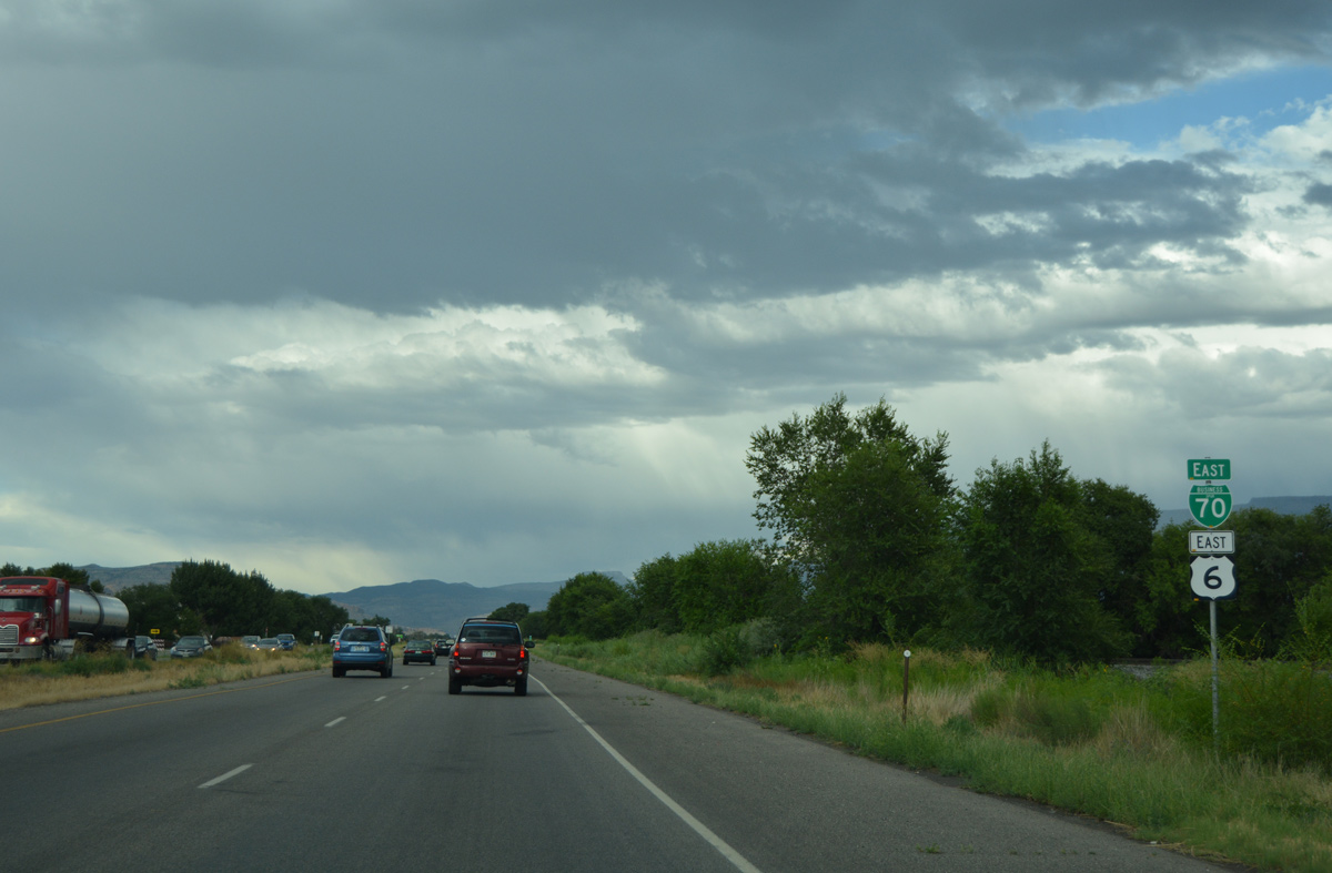
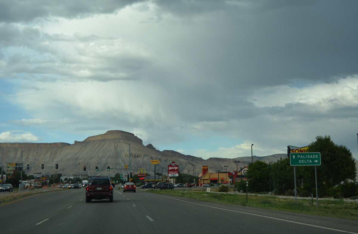
| U.S. 6 partitions with Business Loop I-70 to join F Road east from Clifton to the town of Palisade. Business Loop I-70 continues north to I-70 while F Road west heads to Fruitvale. 10/18/04, 08/10/16 |
Page Updated 03-27-2017.


 East
East