|
| Just west of Snoqualmie Pass and the Kittitas County line is a half diamond interchange with SR 906 (historic U.S. 10) east and National Forest Road 58 west. 08/28/06 |
|
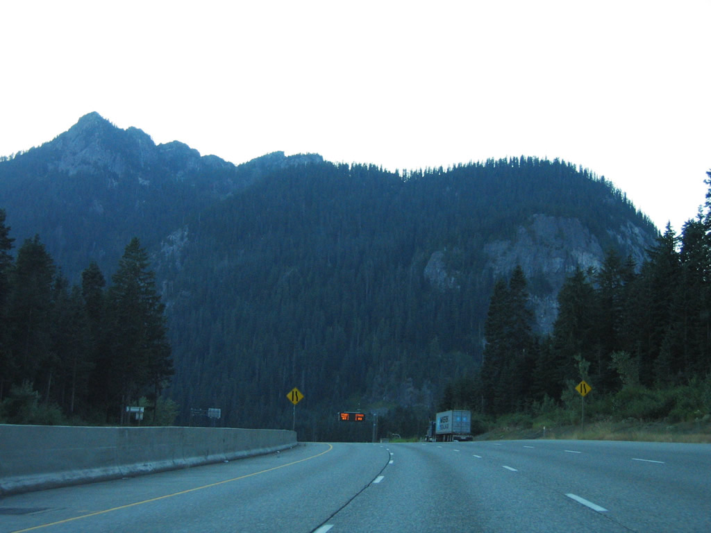
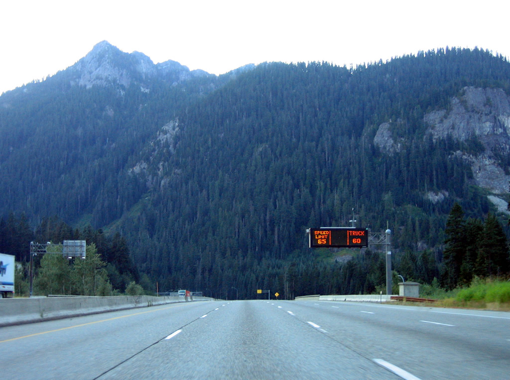
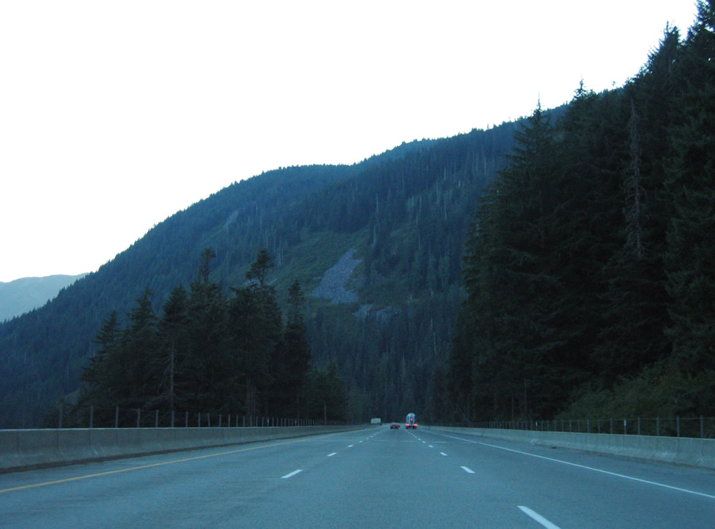
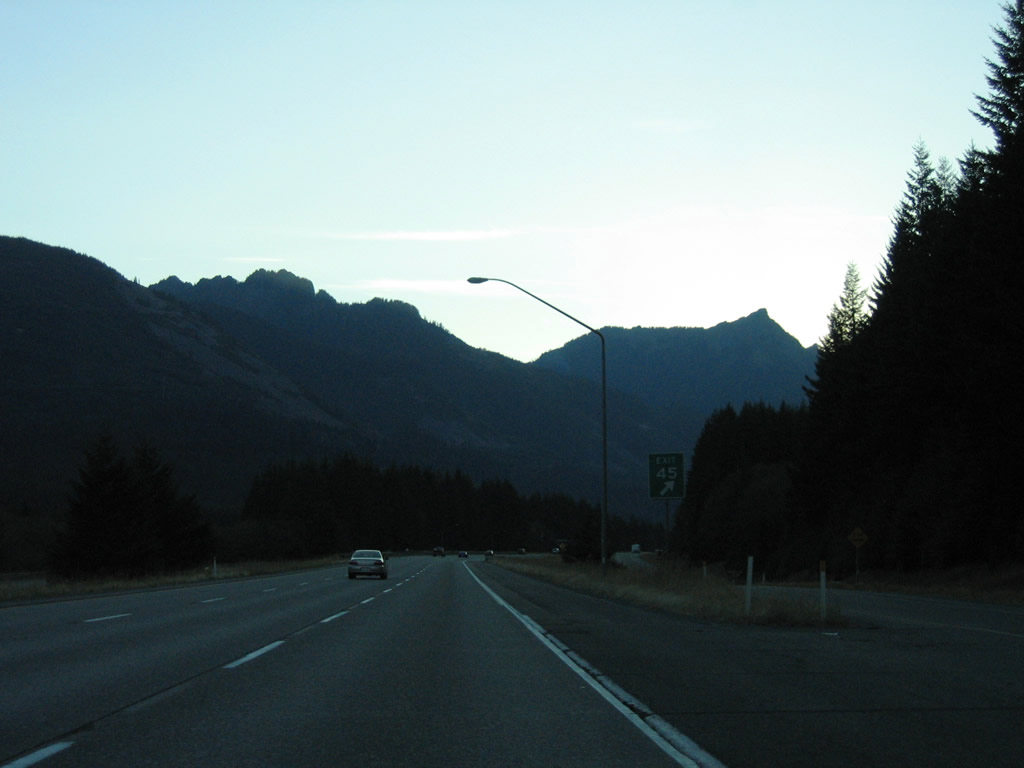
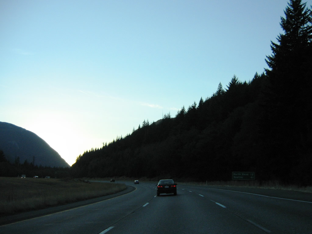
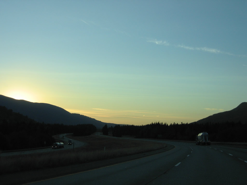
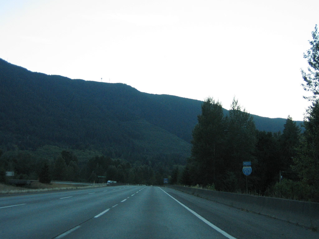
| Dynamic messages signs displaying the variable speed limit are posted periodically along Interstate 90 in both directions across the Cascade Mountain Range. The freeway curves southwest along the Snoqualmie River with Granite and Denny Mountains rising to the west in this scene. 08/28/06 |
|
| Snoqualmie Pass can be treacherous during winter storms and travelers are advised to use extreme caution during these events. 08/28/06 |
|
| Interstate 90 doubles as the Mountains to Sound Greenway. Trailblazers are posted along the freeway of this distinction. 08/28/06 |
|
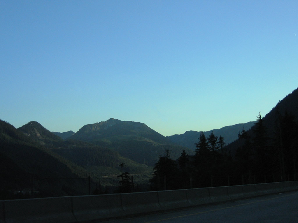
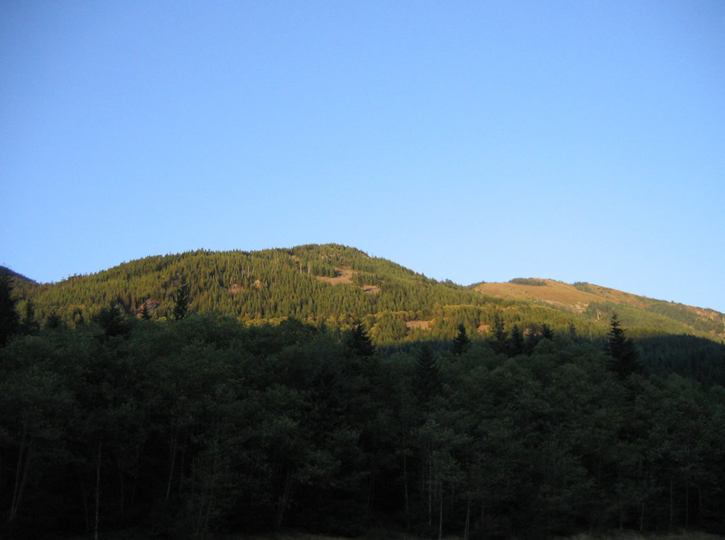
| Looking southwest from the Snoqualmie River valley at Silver Peak and Humpback Mountains from westbound Interstate 90. 08/28/06 |
|
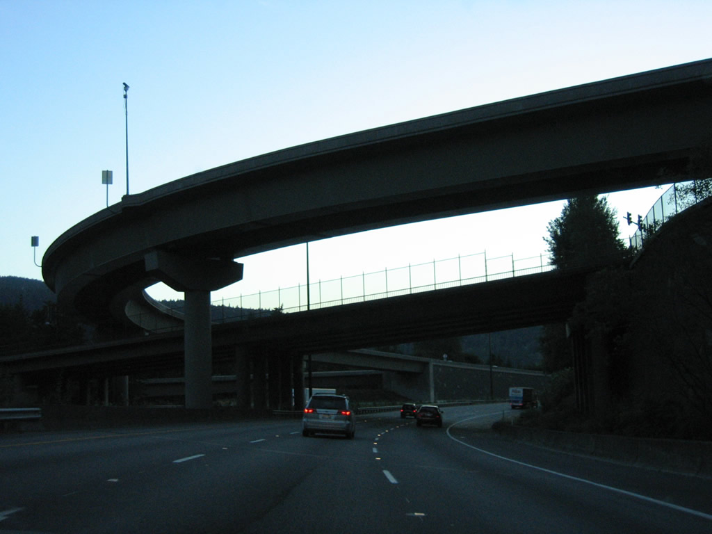
| Westbound Interstate 90 travels a viaduct along the side of Denny Mountain to Denny Creek. The elevated roadway lines the hillside a good distance above the eastbound roadway and National Forest Route 58. 08/28/06 |
|
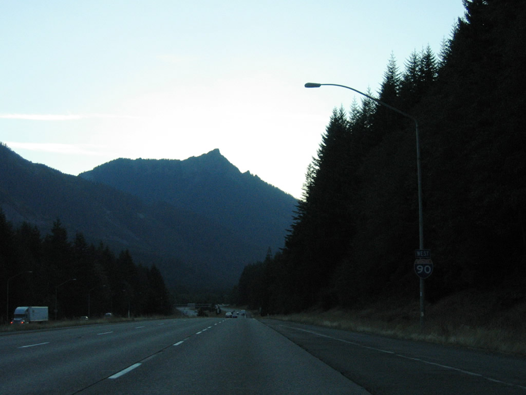
| Passing over Denny Creek along Interstate 90 west. The westbound roadway between Exits 52 and 47 carries three lanes; eastbound accommodate four overall lanes. 08/28/06 |
|
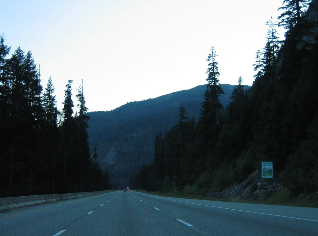
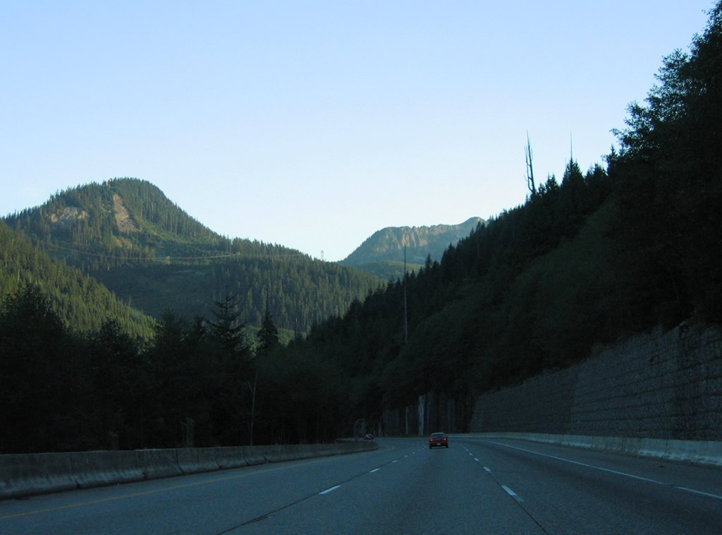
| Winding around Granite Mountain north of Silver Peak and Humpback Mountains on Interstate 90 west. 08/28/06 |
|
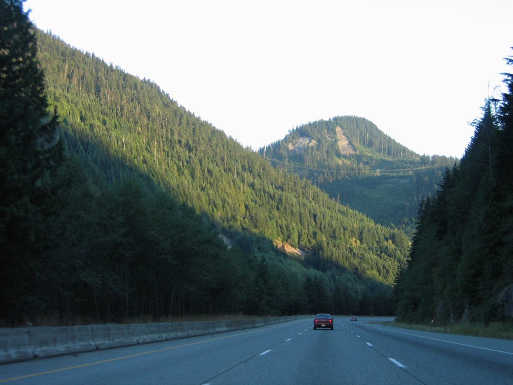
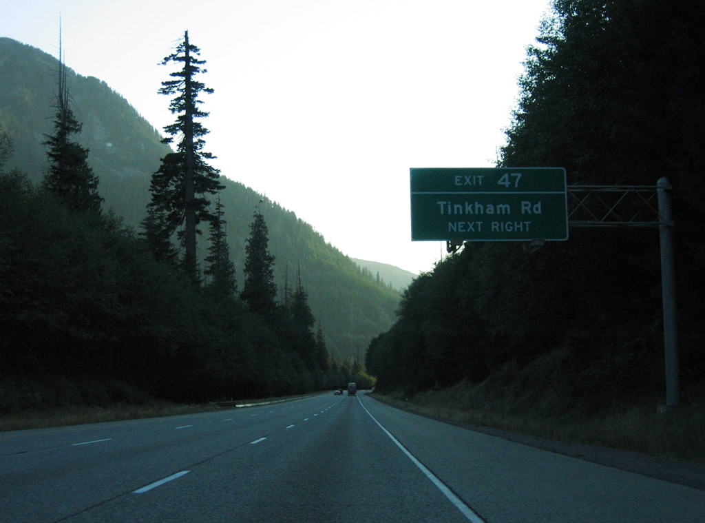
| Turning back to the west, Interstate 90 advances one mile to the diamond interchange (Exit 47) with Asahel Curtis Road. 08/28/06 |
|
| Asahel Curtis Road connects Interstate 90 with N.F. Road 9035 to the north, Tinkham Road (N.F. Road 55) west and N.F. Road 5590 east. Tinkham Road and N.F. Road 58 are alignments of the original Sunset Highway, portions of which later became a part of U.S. 10. 08/28/06 |
|
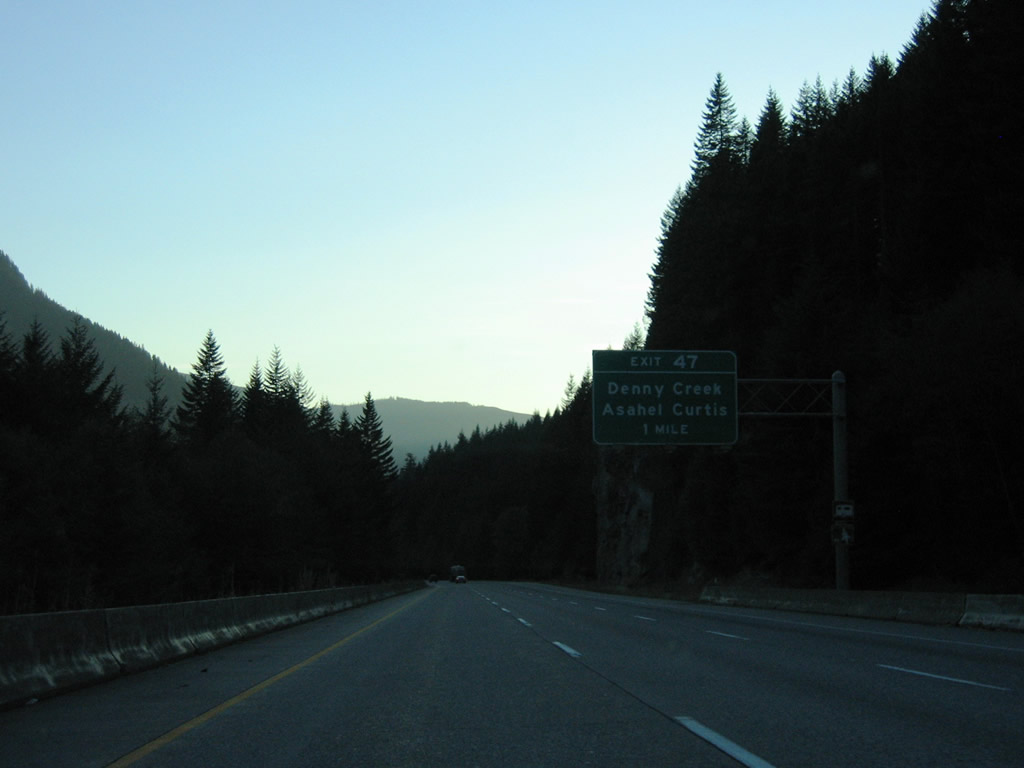
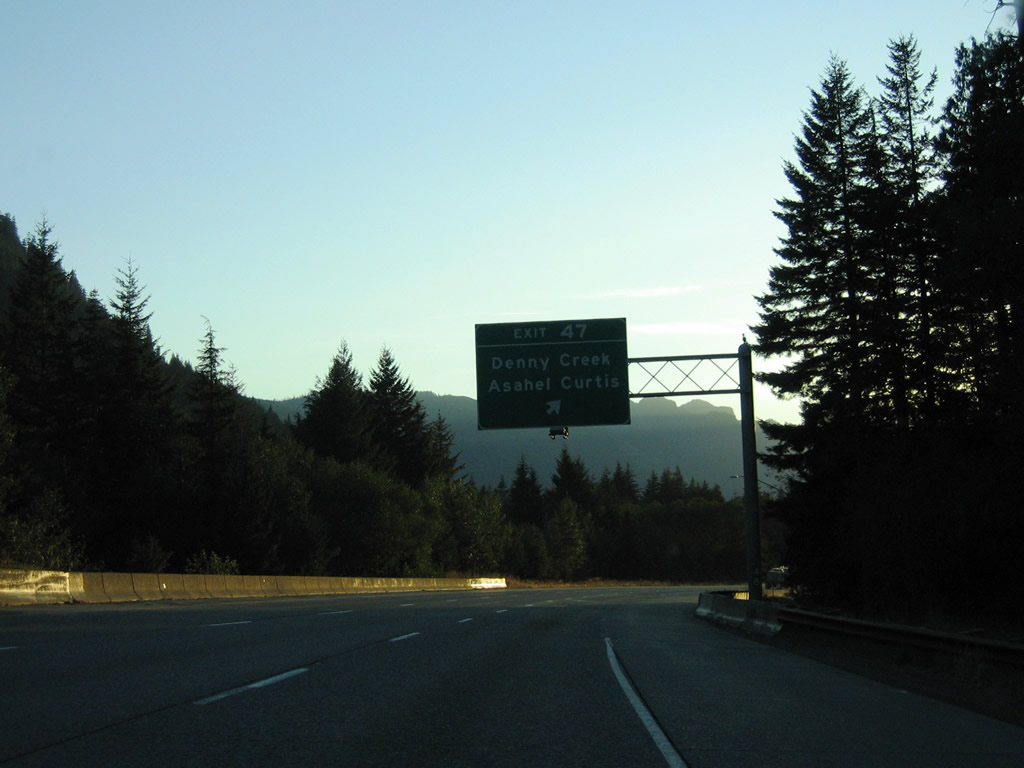
| Exit 47 departs Interstate 90 west for Asahel Curtis Road. N.F. Road 58 (Denny Creek Road) east from N.F. Road 9035 leads to the Asahel Curtis picnic site and Denny Creek Campground in Mt. Baker-Snoqualmie National Forest. 08/28/06 |
|
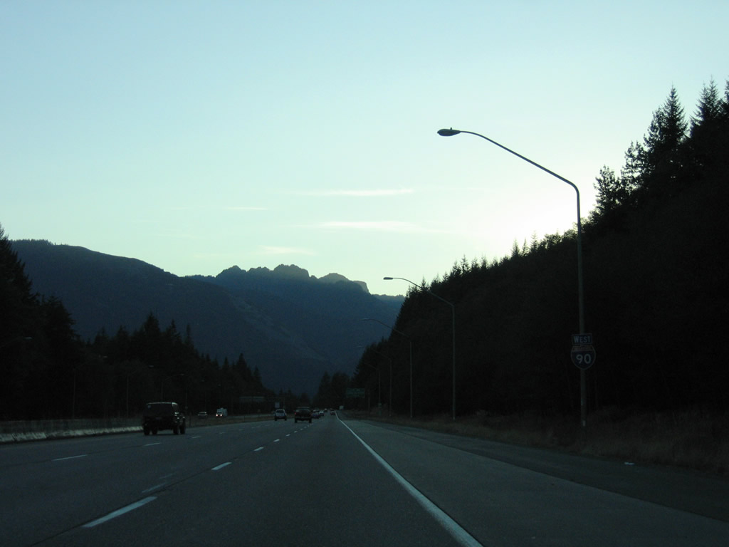
| Interstate 90 continues west alongside the South Fork of the Snoqualmie River between Bandera Mountain and Mount Gardner. 08/28/06 |
|
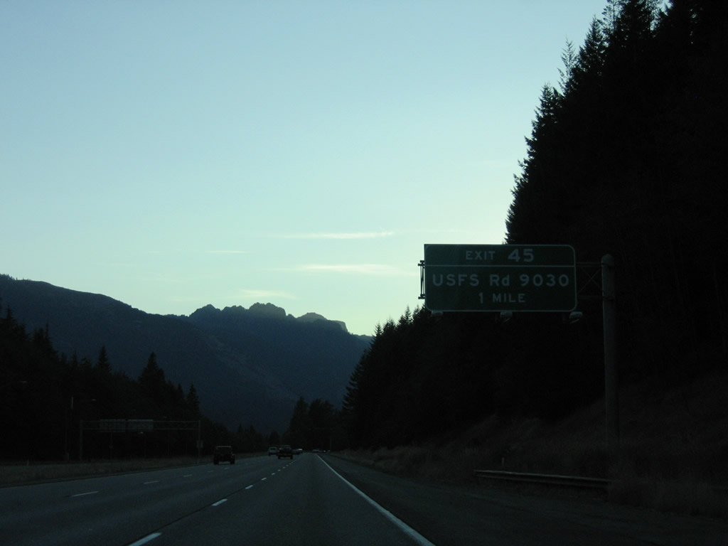
| National Forest Road 9030 connects Interstate 90 west with a landing strip to the south and N.F. Road 9031 on the hillside of Bandara Mountain to the north. N.F. Road 9030 leads to the Talapus Lake Trailhead while N.F. Road 9031 ends at the Ira Spring Trailhead. 08/28/06 |
|
| Mount Kent and McClellan Butte lie west of the diamond interchange at Exit 45 with National Forest Road 9030. 08/28/06 |
|
| Westbound reassurance marker posted after Exit 45 on Interstate 90 west. 08/28/06 |
|
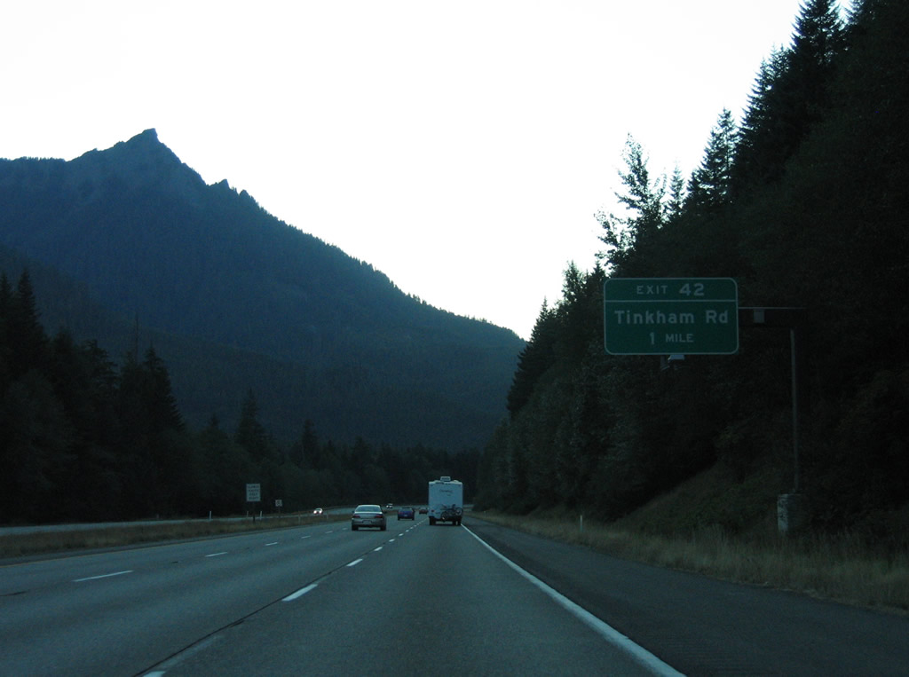
| Tinkham Road (old U.S. 10) returns to Interstate 90 at Exit 42. 08/28/06 |
|
| The parclo interchange at Exit 42 connects with Tinkham Road north to the adjacent Tinkham Trailhead and former U.S. 10 east to McClellan Butte Trail and the Tinkham Campground. 08/28/06 |
|
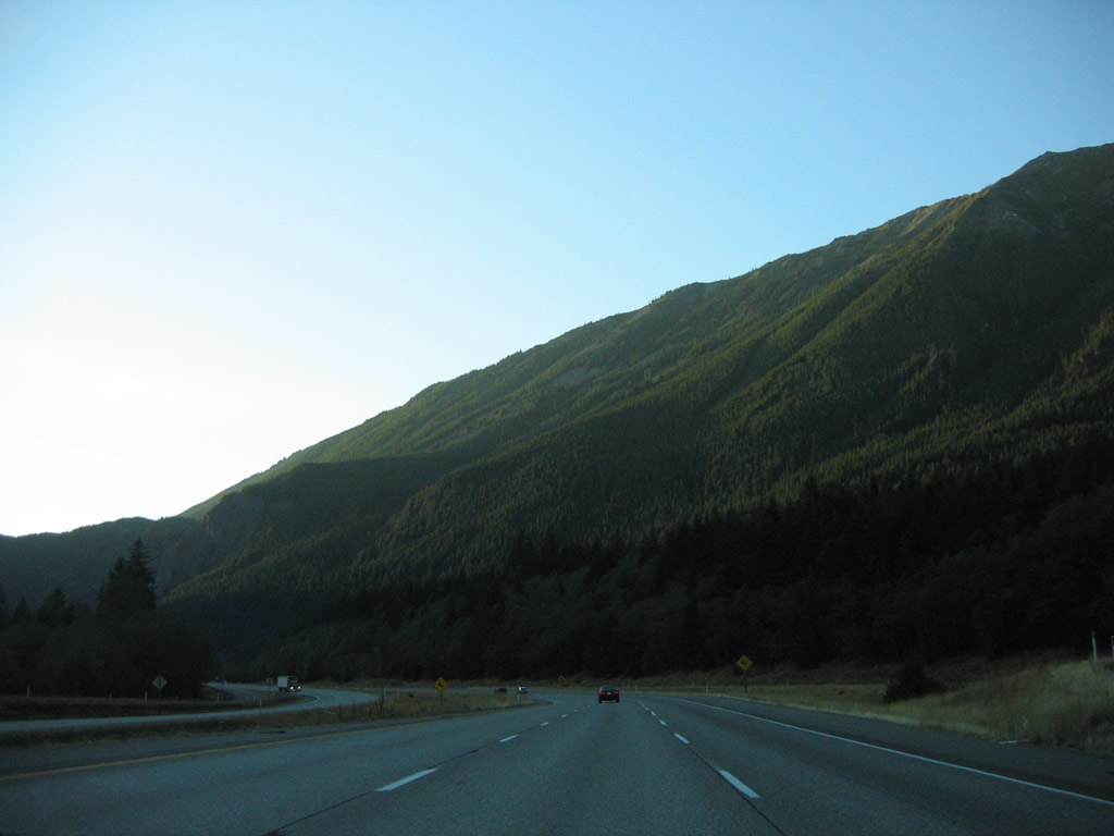
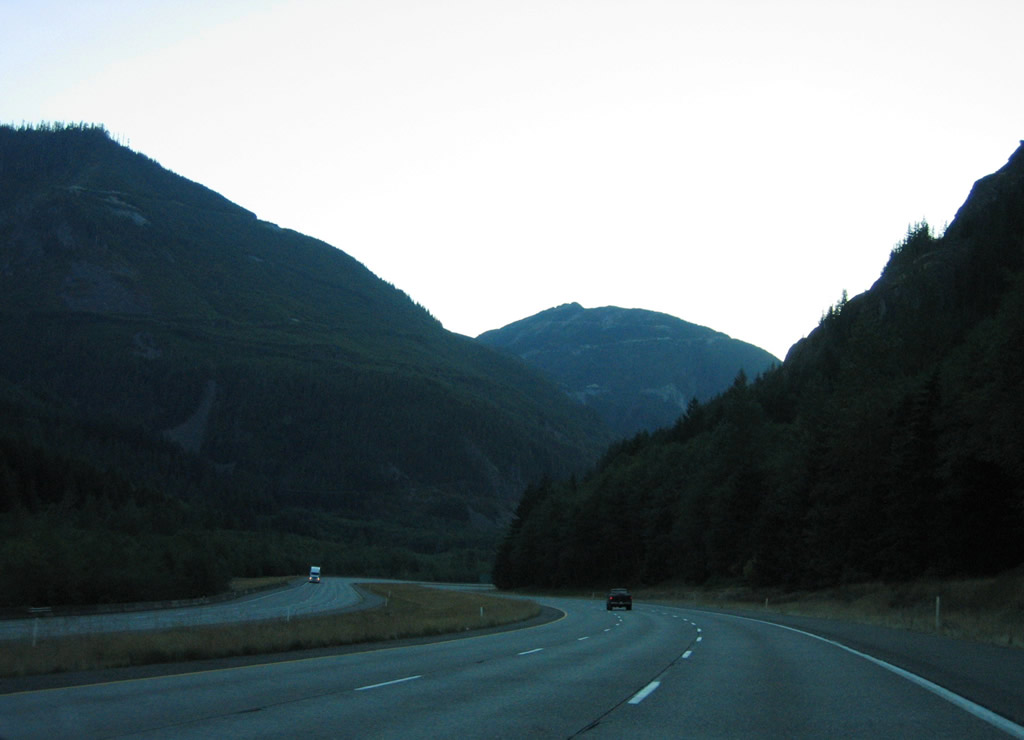
| Continuing west from Tinkham Road along the base of Mount Defiance on Interstate 90. 08/28/06 |
|
| The city of North Bend is the next community along Interstate 90. Seattle lies 41 miles to the west. 08/28/06 |
|
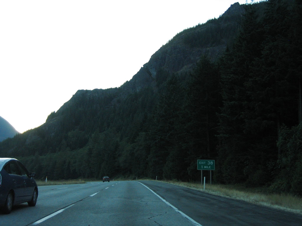
| One mile east of the split diamond interchange (Exit 38) with SE Homestead Valley Road (old U.S. 10) on Interstate 90 west. 08/28/06 |
|
| Mount Washington comes into view ahead of Exit 38. 08/28/06 |
|
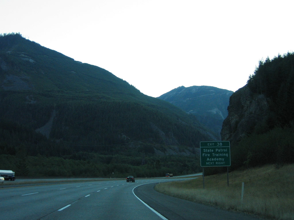
| SE Grouse Ridge Road spurs north from Interstate 90 and SE Homestead Valley Road to State Patrol Fire Training Academy. Old U.S. 10 travels through Olallie State Park to the westbound return ramp for Exit 38. 08/28/06 |
|
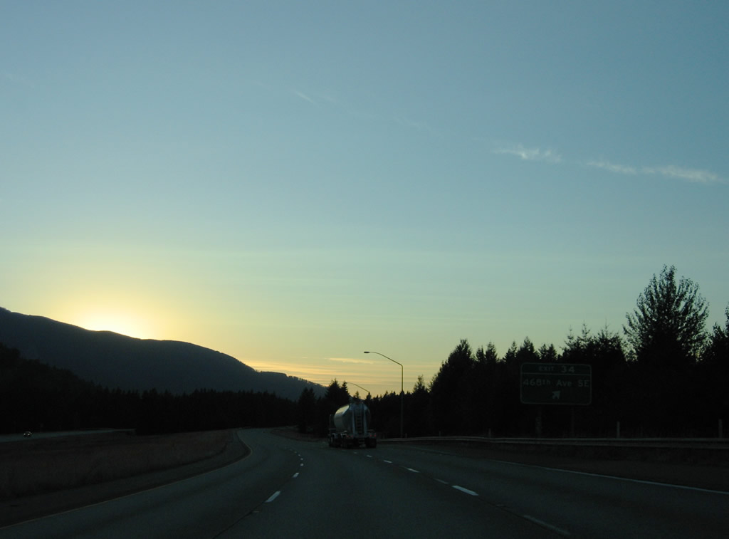
| Interstate 90 continues west toward Twin Falls Natural Area from SE Homestead Valley Road. 08/28/06 |
|
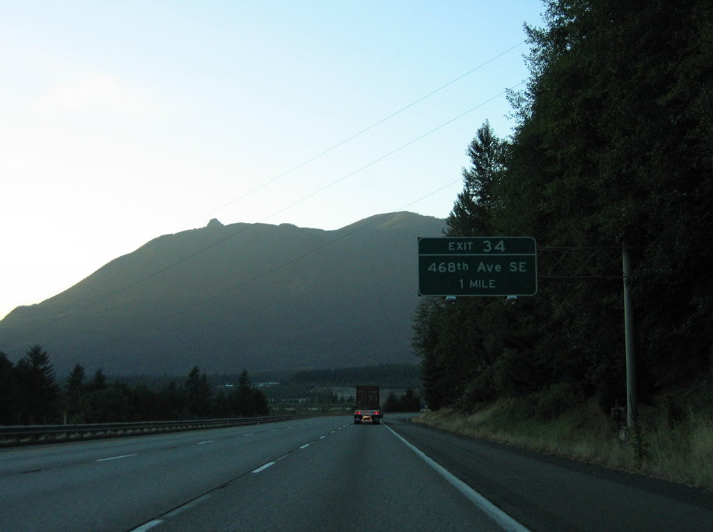
| Interstate 90 weaves northwest between Mount Washington and Grouse Ridge to the diamond interchange (Exit 34) with 468th Avenue SE near Tanner. 08/28/06 |
|
| 468th Avenue extends north from Edgewick Road to Exit 34 and SE Middle Fork Road / SE 140th Street east of North Bend. 08/28/06 |
|
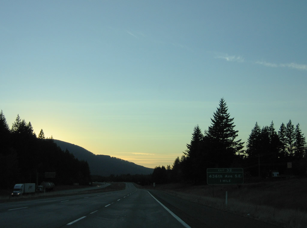
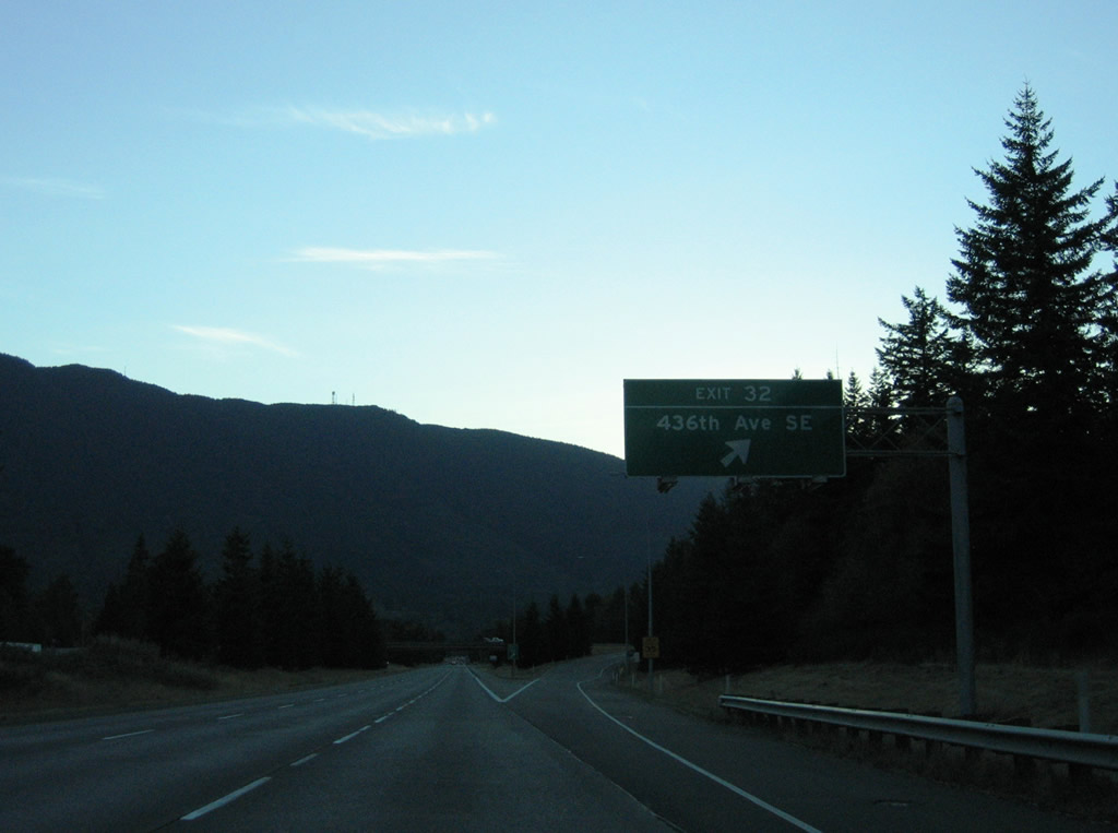
| Exit 32 for 436th Avenue SE and the North Bend Ranger Station at Tanner is the first of two exits from I-90 west for North Bend. 08/28/06 |
|
| Rattlesnake Mountain rises to the southwest of North Bend. 436th Avenue SE travels north to North Bend Way (Old U.S. 10) and south to become Cedar Falls Road SE through the unincorporated community of Riverbend. 08/28/06 |
|
| Passing over 424th Avenue SE on Interstate 90 west at the next shield assembly, the freeway curves northwest and crosses the South Fork Snoqualmie River for the final time. 08/28/06 |
|
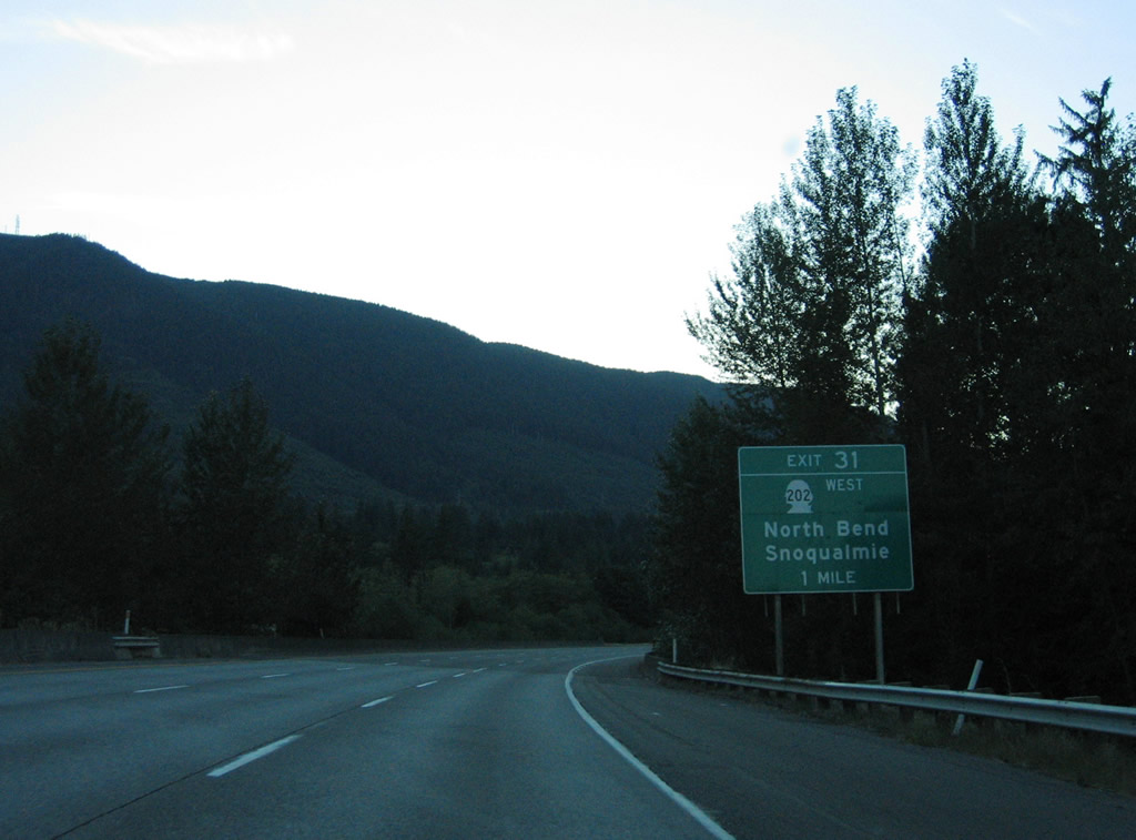
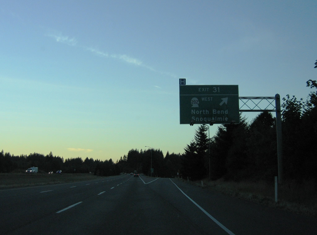
| SR 202 (Bendigo Boulevard) begins in one mile at Exit 31. The state route links Interstate 90 with the North Bend city center and Snoqualmie Falls via Meadowbrook Way north from the city of Snoqualmie. 08/28/06 |
|
| SR 202 (Bendigo Boulevard) constitutes a 30.55 mile long highway from North Bend west to Redmond, Woodinville, and SR 522 near Interstate 405. 08/28/06 |
|
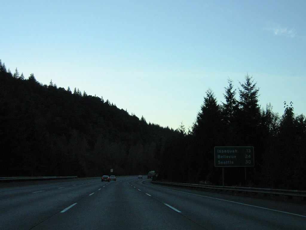
| Interstate 90 encircles Rattlesnake Mountain west to SR 18. Issaquah follows in 13 miles. The freeway expands westbound with the addition of a truck climbing lane. 08/28/06 |
|
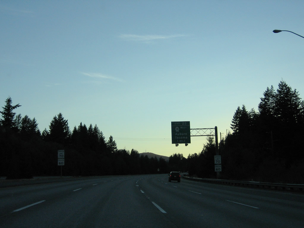
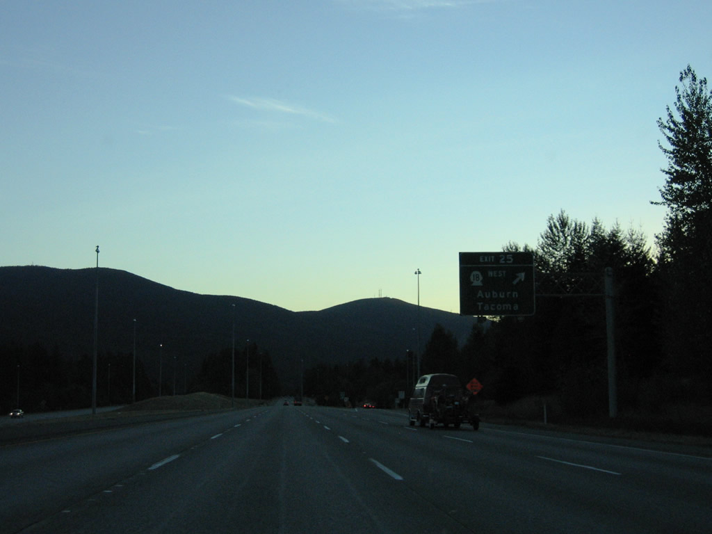
| SR 18 and SE Snoqualmie Parkway come together at Exit 25 just outside the Snoqualmie city limits. SR 18 constitutes a 28.41 mile long route linking the far eastern suburbs with Maple Valley, Covington, Auburn, and Interstate 5 at Federal Way. 08/28/06 |
|
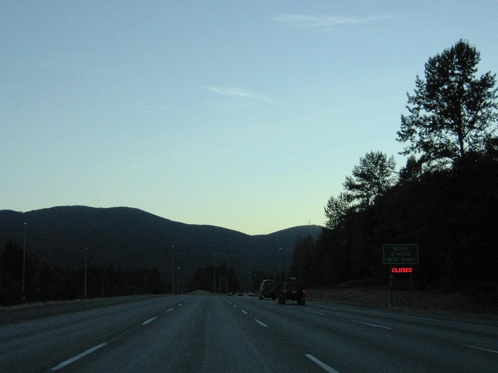
| A truck weigh station operates along the westbound entrance ramp from Snoqualmie Parkway / SR 18. Construction converts the exchange at Exit 25 into a diverging diamond interchange. 08/28/06 |
|
| Snoqualmie Parkway arcs northeast from Exit 25 to the master-planned community of Snoqualmie Ridge and SR 202 (Railroad Avenue SE) north of the city center. SR 18 angles southwest to I-5 for regional traffic to Tacoma and Olympia. Most of SR 18 is a freeway with the exception of the stretch between Interstate 90 and Hobart. 08/28/06 |
|
| Interstate 90 runs between Tiger Mountain to the south and Mitchell Hill to the north and ahead of Exit 22 to SE 82nd Street at Preston. 08/28/06 |
|
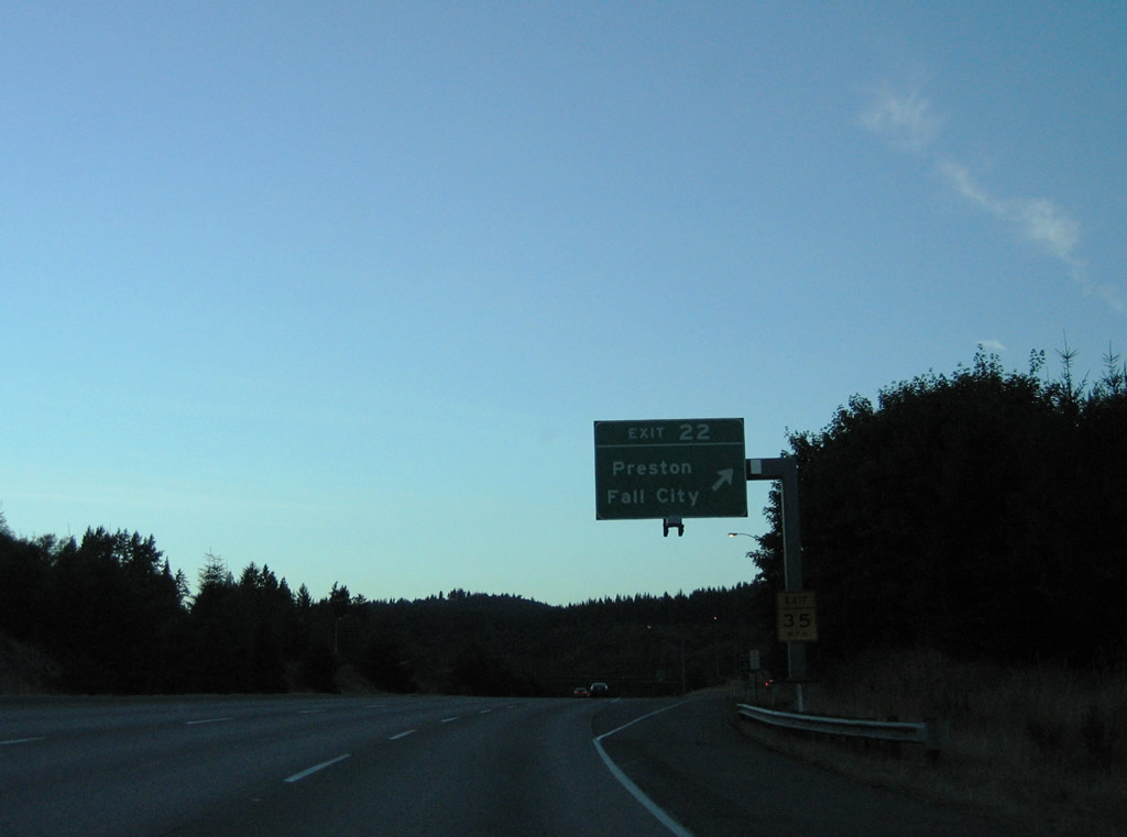
| Exit 22 departs Interstate 90 west for SE 82nd Street, a connector to SE High Point Way to the east and SE Preston Way to the west. Preston-Fall City Road SE winds northeast along the Raging River to SR 202 near SR 203 at Fall City. 08/28/06 |
|
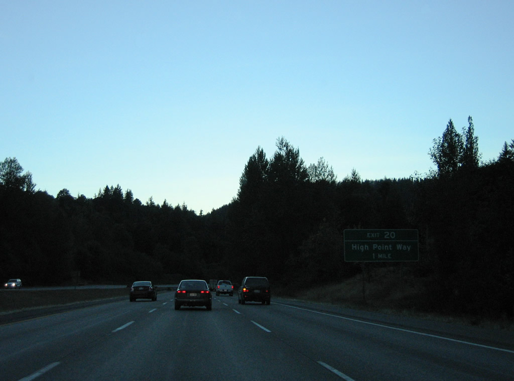
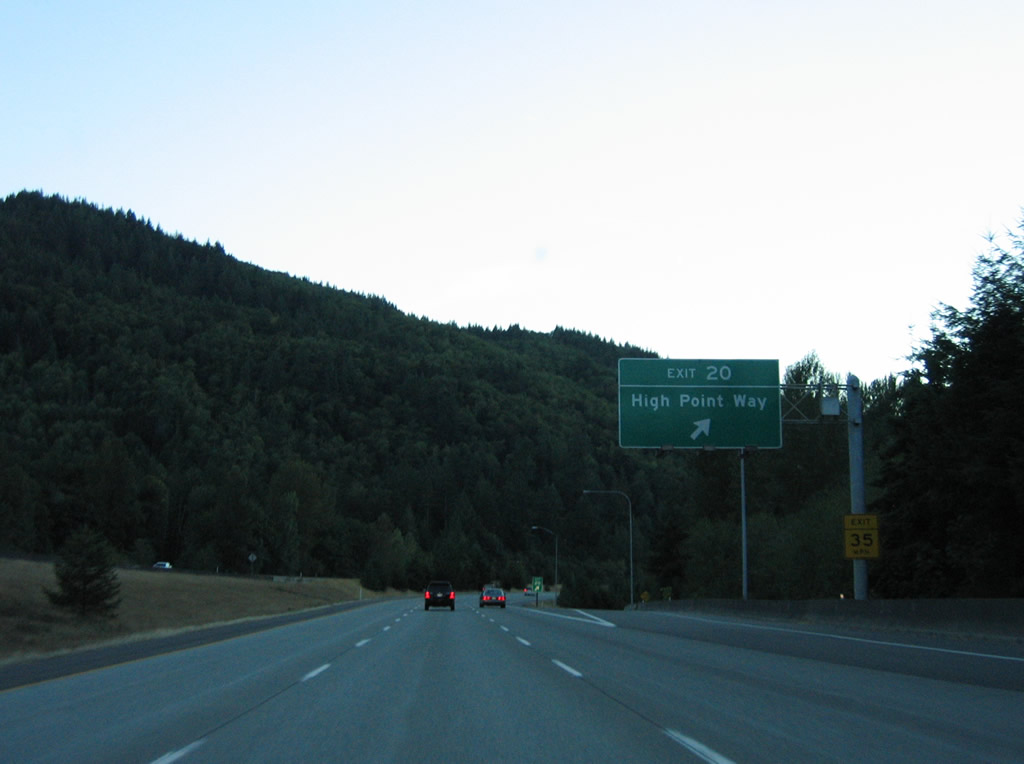
| SE High Point Way continues paralleling Interstate 90 west to the diamond interchange at Exit 20 and High Point. 08/28/06 |
|
| High Point lies within a valley between West Tiger Mountain and Grand Ridge at Exit 20. SE High Point Way ends connects with the High Point Trailhead south of I-90. 08/28/06 |
|
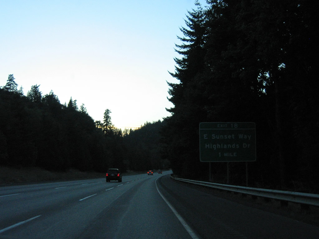
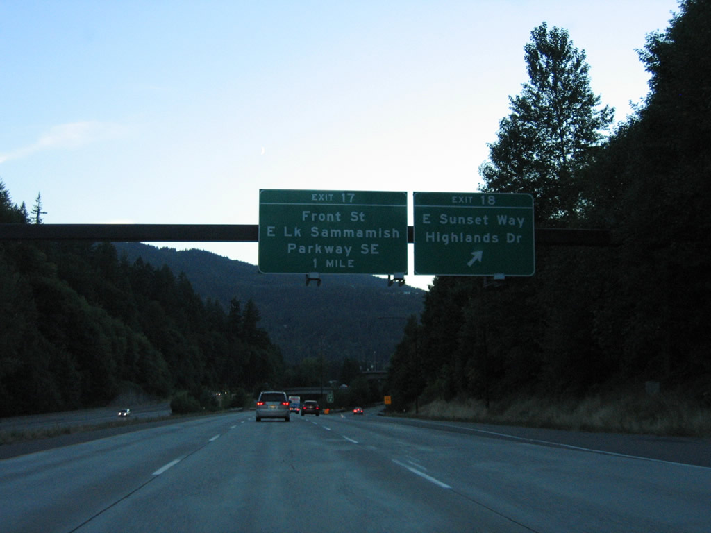
| Interstate 90 lowers from the valley fed by the East Fork Issaquah Creek between Grand Ridge and West Tiger Mountain into the city of Issaquah. Three exits join the freeway with the Seattle suburb, starting with Exit 18 to Sunset Way west and Highlands Drive east. 08/28/06 |
|
| Sunset Way travels west from Exit 18 to Front Street and the Issaquah city center. Highlands Drive ties in from the master planned community of Issaquah Highlands to the northeast. 08/28/06 |
|
| A flyover ramp was added to Exit 18 from Interstate 90 east to Highlands Drive east to coincide with the building of Issaquah Highlands. 08/28/06 |
|
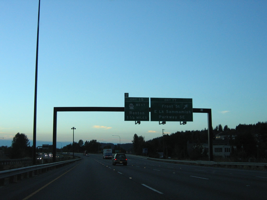
| Front Street heads north from the Issaquah city center to become East Lake Sammamish Parkway SE at Exit 17. The parkway winds northward along the east shore of Lake Sammamish through the city of Sammamish to SR 202 at Redmond. 08/28/06 |
|
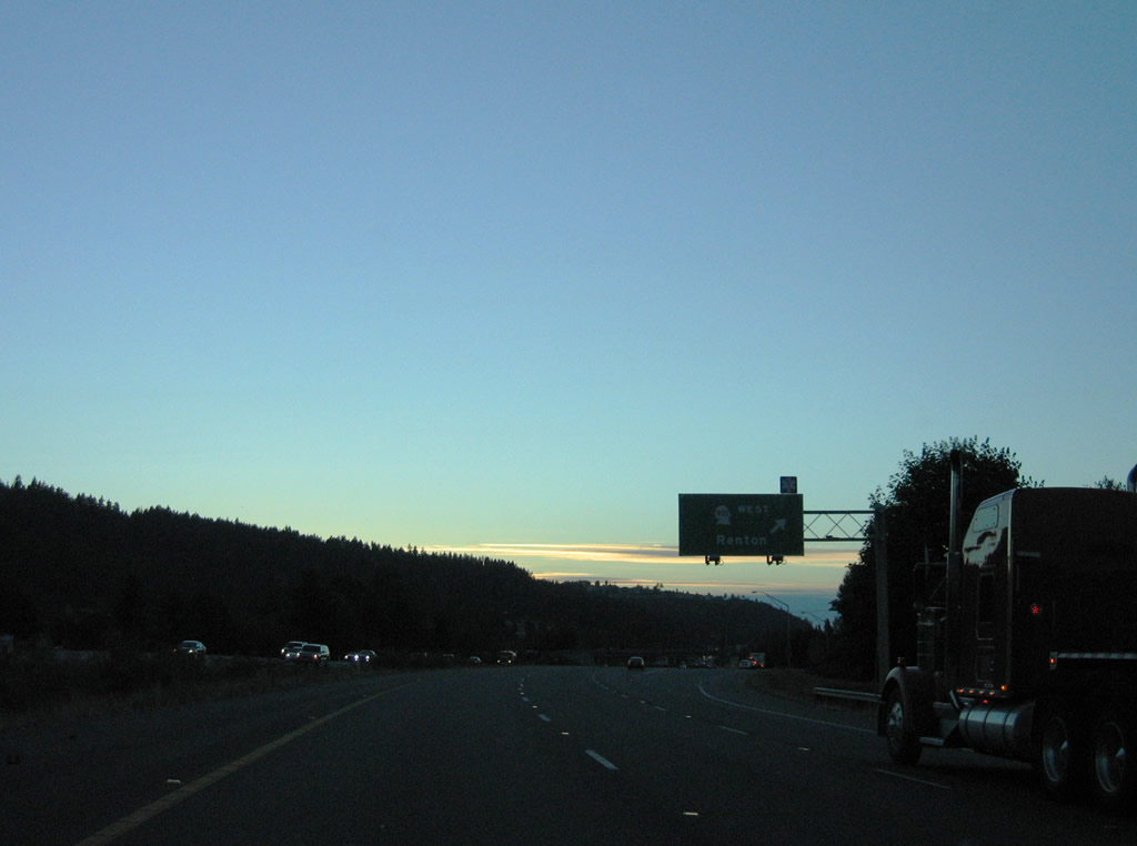
| A parclo interchange follows between I-90 and SR 900 (17th Avenue NW) near Lake Sammamish State Park. SR 900 arcs 9.68 miles southwest from Exit 15 to Interstate 405 at Renton. 17th Avenue NW connects with parallel NW Sammamish Road (former SR 901) west toward Greenwood Point. 08/28/06 |
|
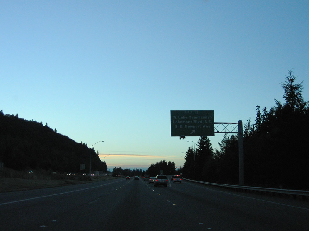
| Interstate 90 west expands to four overall lanes with the addition of a carpool (HOV-2) lane on the left side. Meeting the freeway next is West Sammamish Parkway SE north, SE Newport Way, and Lakemont Boulevard SE south. The parkway was SR 901 between Issaquah and Redmond Way (former SR 908) until 1992.1 08/28/06 |
|
| West Lake Sammamish Parkway weaves northward along the shores of Lake Sammamish from Exit 13 to Vasa Park, Rosemont Beach and Marymoor Park at Redmond. Lakemont Boulevard SE meanders southwest to Cougar Hills and Coal Creek while SE Newport Way continues west to Eastgate in Bellevue. 08/28/06 |
|
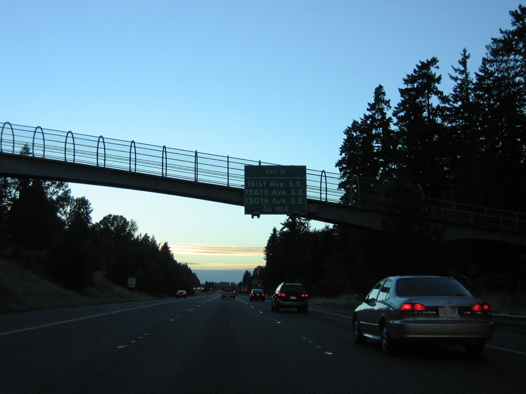
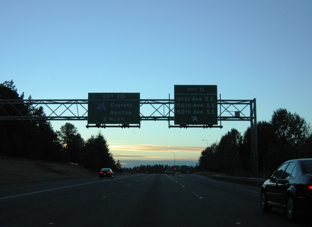
| A c/d roadway separates from I-90 west in a half mile at Exit 11 for 161st Avenue SE north, 156th Avenue SE north and 150th Avenue SE south to the Eastgate, Sunset Village, and Robinswood area of Bellevue. 08/28/06 |
|
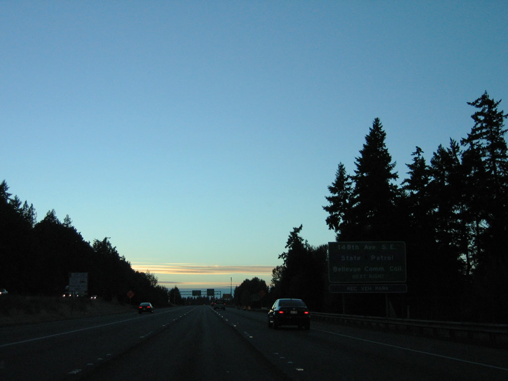
| 150th Avenue SE becomes 148th Avenue SE north to Bellevue College, Larsen Lake and SR 520 at the Redmond city line. 08/28/06 |
|
| Exit 11 partitions from westbound I-90 two miles from the multi level interchange (Exit 11) with Interstate 405. 08/28/06 |
Page Updated 11-04-2010.

 West
West