

Map Updated October 1, 2012.
Interstate 610 was added to the Interstate system in 1964 with Interstate 10 in the city of New Orleans.1 This included the Pontchartrain Expressway leading south from Pontchartrain and West End Boulevards to downtown and I-610 spuring east from I-10 to Canal Boulevard. The remainder of freeway east to I-10 at Franklin Avenue would not be completed until 1973-75.
The freeway provides a bypass route for Interstate 10 through New Orleans, traveling north of the Interstate 10 dog leg into downtown. The freeway undulates through City Park and the Gentilly neighborhood of the city, traveling partially at-grade and partially on an elevated viaduct. Speed limits are 60 miles per hour for the 4.52 mile freeway.
Interstate 610 Louisiana Guides
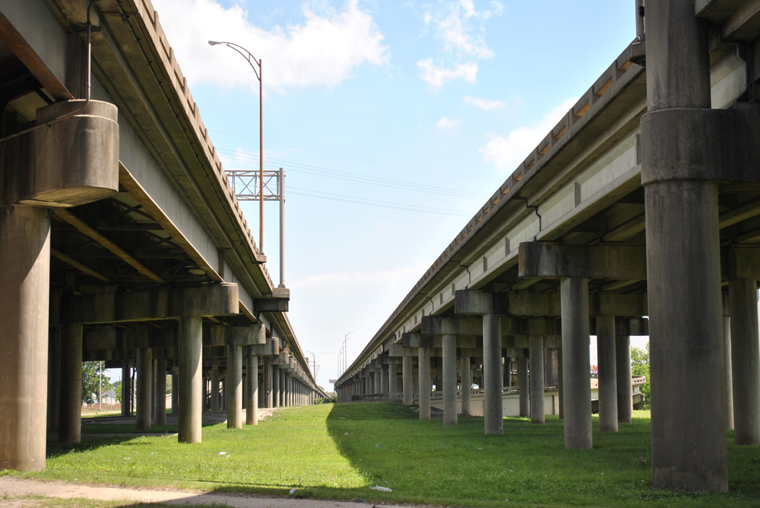
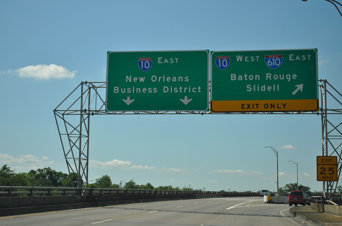
Viaducts for I-10 pass over Franklin Avenue at the wye interchange with Interstate 610's east end. The exchange with Franklin Avenue intermingles with the freeway connection below. Photo taken April 20, 2012.
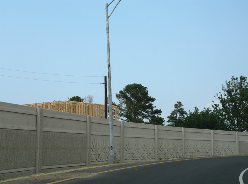
Sound walls installed in conjunction with the 1999-2000 I-10/610 interchange reconstruction project revealed the level of flood waters caused by Hurricane Katrina in 2005. The exchange joining the two freeways and adjacent Pontchartrain Boulevard was vastly underwater after the levees broke from the storm. Photo taken June 10, 2006.
 scenes scenes |
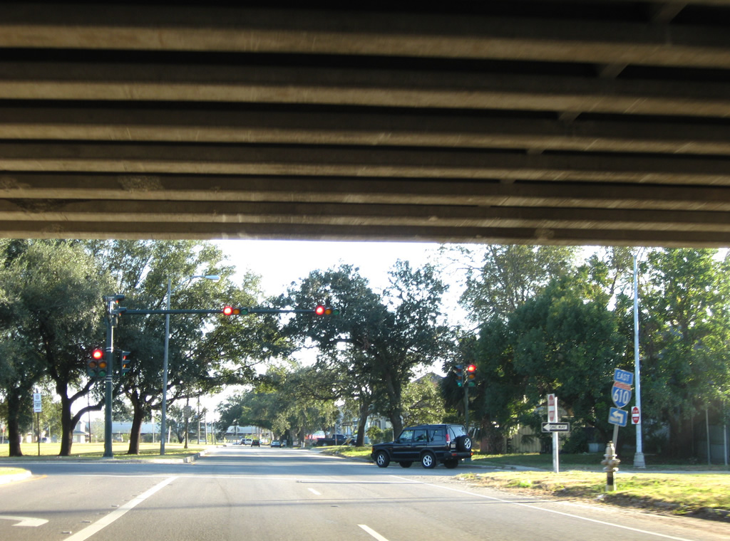
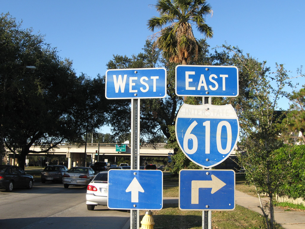  | Canal Boulevard north at Florida Boulevard in the Lakeview neighborhood of New Orleans. A split diamond interchange lies one block ahead with I-610. Shields for I-610 were replaced between 2008 and 2011, though the westbound assembly was missing by 2012. 11/19/08, 04/20/12 |
 | Canal Boulevard north at the eastbound entrance ramp for I-610. The westbound ramp defaults onto Interstate 10 west at the Jefferson Parish line. 04/20/12 |
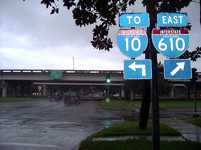 | Canal Boulevard north at I-610 during heavy rain from thunderstorms associated with a small disturbance over south-central Louisiana. The arrow placards on this assembly were date stamped on September 24, 1984. Ground level signals here were replaced and trees removed over the ensuing ten year period. 08/12/02 |
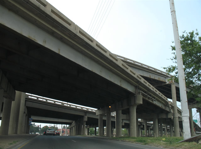
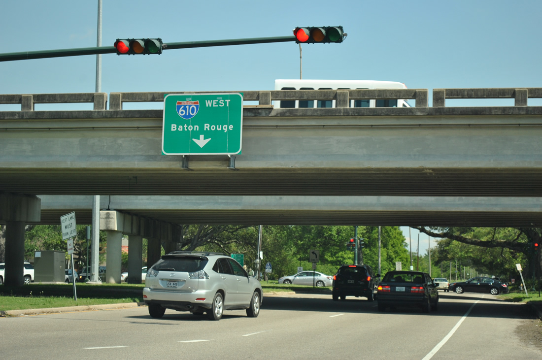 | Passing under the I-610 overpasses, Canal Boulevard meets the westbound service road with access to Louix XIV Street and the freeway to Metairie. Interstate 610 from Canal Boulevard west to I-10 was completed by late 1964. 04/20/12 |
 | Southbound Canal Boulevard at the one block service road connecting the eastbound I-610 ramps within the Lakeview neighborhood. 11/19/08 |
 | Franklin Avenue northbound emerges from a CSX Railroad underpass and passes under the I-10 mainline and the end of I-610 eastbound. 06/10/06 |
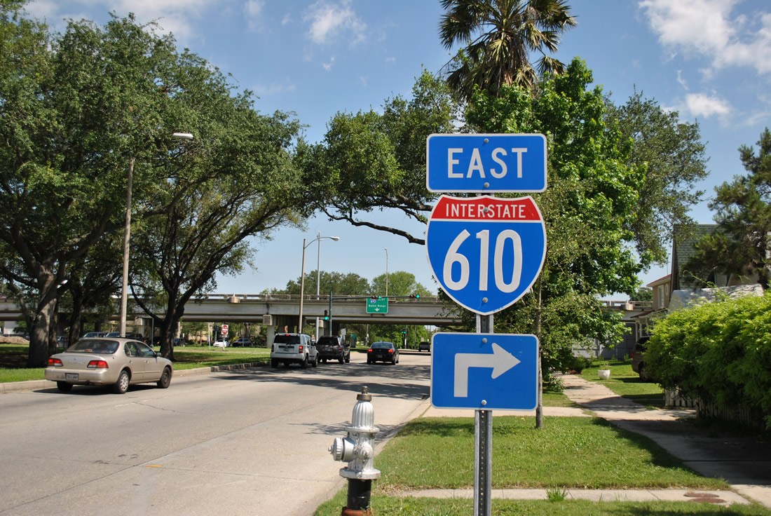
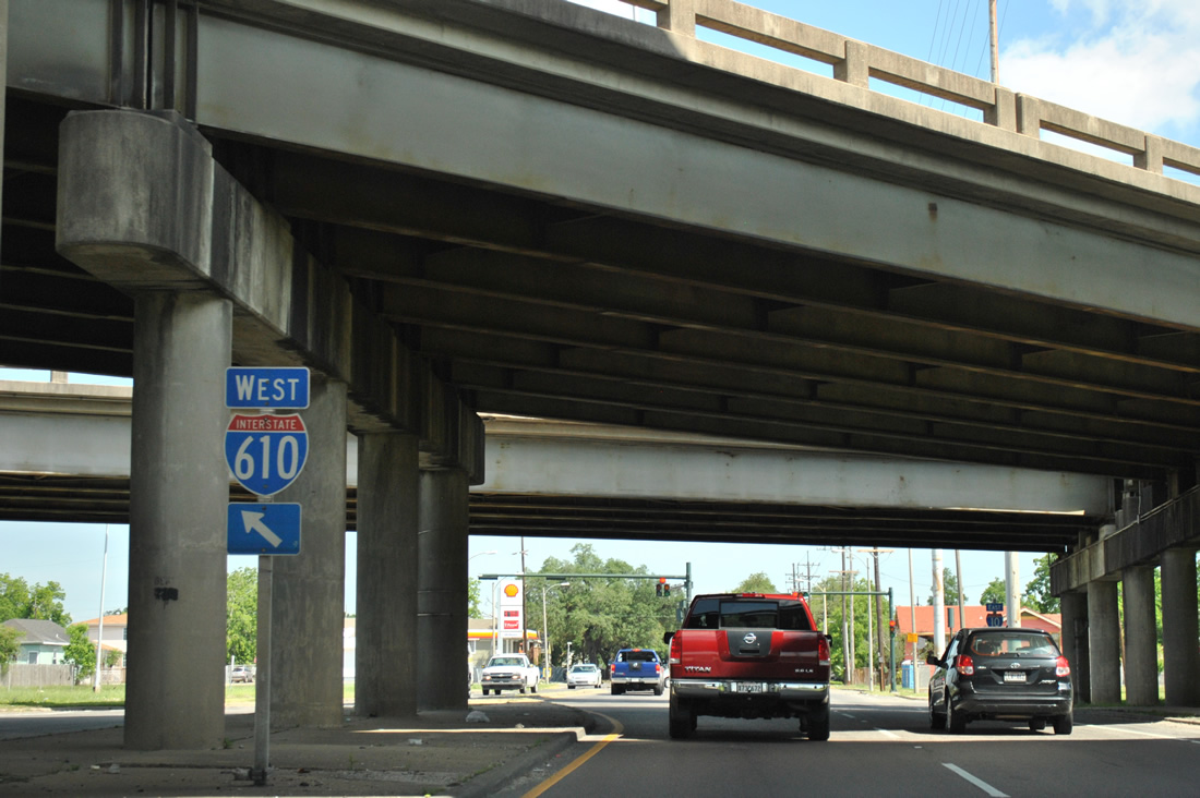 | An Interstate 610 shield directs motorists onto the westbound on-ramp for Lakeview in New Orleans, Metairie, and Baton Rouge. 04/20/12 |
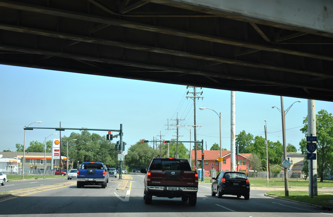 | The eastbound entrance ramp joins I-10 directly to New Orleans East and Slidell. Franklin Avenue northbound continues into the Gentilly neighborhood, meeting U.S. 90 (Gentilly Avenue) in 12 blocks. 04/20/12 |
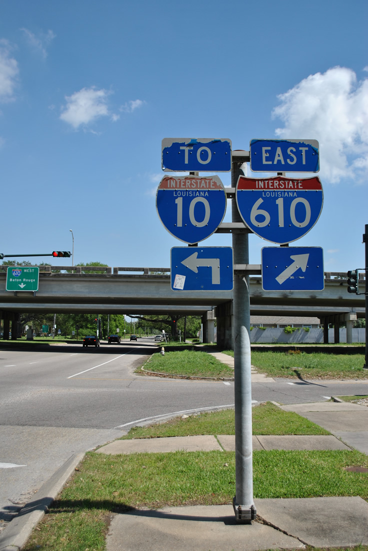
 | Pontchartrain Boulevard south at the loop ramp for I-610 east and I-10 west. This three quarter cloverleaf interchange was built in 1964 in conjunction with the Pontchartain Expressway (I-10) leading southeast from the Jefferson Parish line to Downtown New Orleans. 04/20/12 |
 | Following the Pontchartrain Boulevard southbound exit, traffic partitions into single lane ramps for I-10 west into Metairie and I-610 east to Gentilly. 04/20/12 |
- "The Second Battle of New Orleans," Federal Highway Administration (FHWA), web site.
Photo Credits:
08/12/02, 06/10/06, 11/19/08, 04/20/12 by AARoads
Connect with:
Interstate 10
U.S. 90
Page Updated 09-07-2012.