|
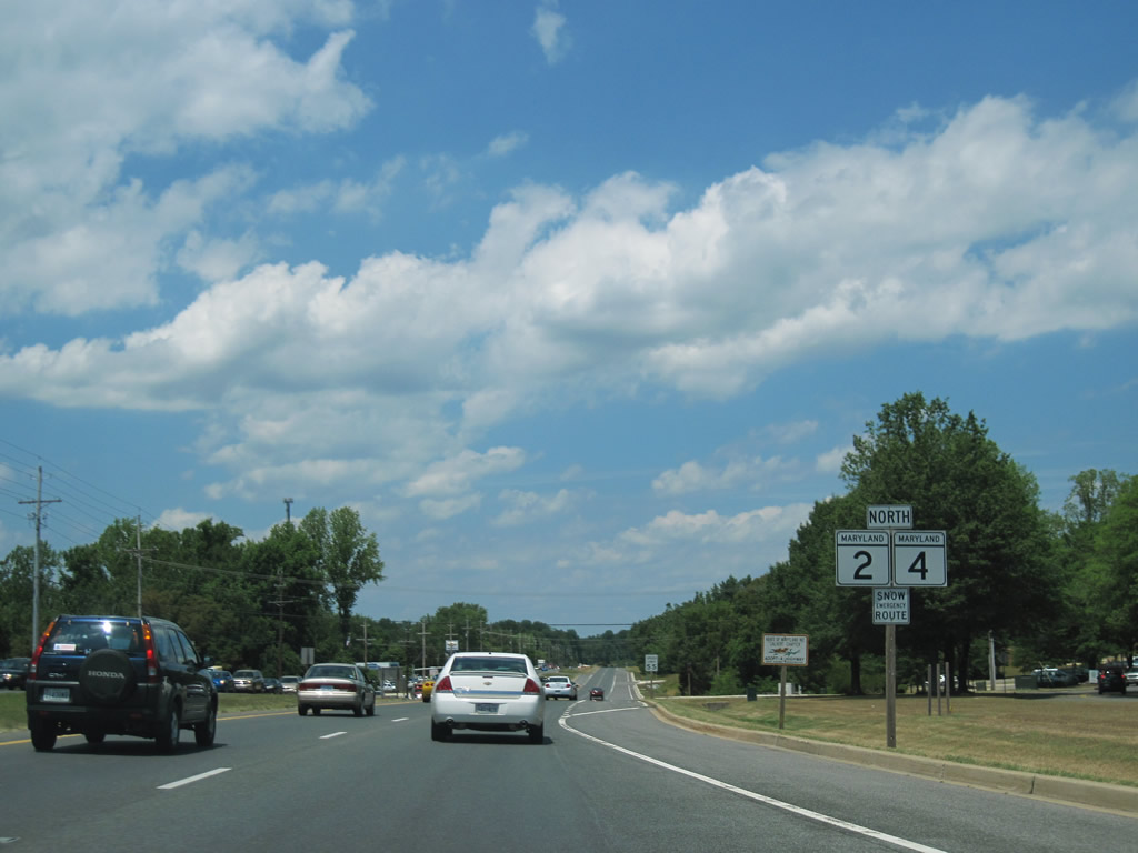
| MD 2/4 bypass Prince Frederick to the west along Solmons Island Road / Louis L. Goldestein Highway. This set of shields lies north of the intersection with MD 231 (Church Street / Hallowing Point Road). 06/25/10 |
|
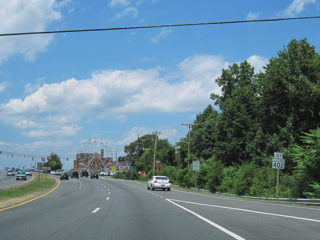
| MD 765 (Main Street / old MD 2) merges with MD 2/4 (Solomons Island Road) north ahead of the intersection with MD 402 (Dares Beach Road). 06/25/10 |
|
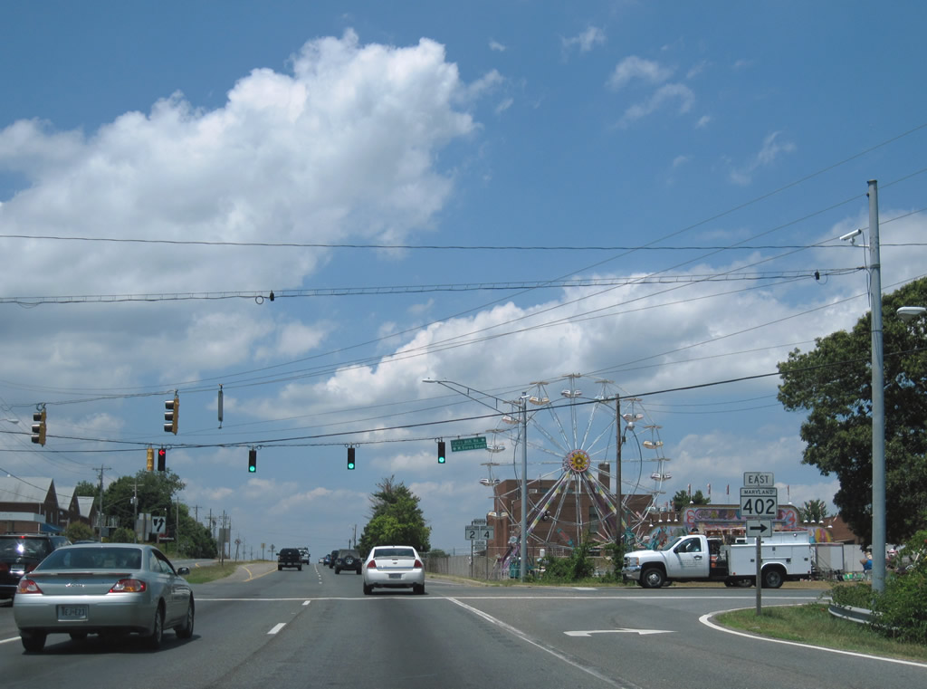
| MD 402 follows Dares Beach Road east from Solomons Island Road 4.33 miles through Dare to Dare Beach. 06/25/10 |
|
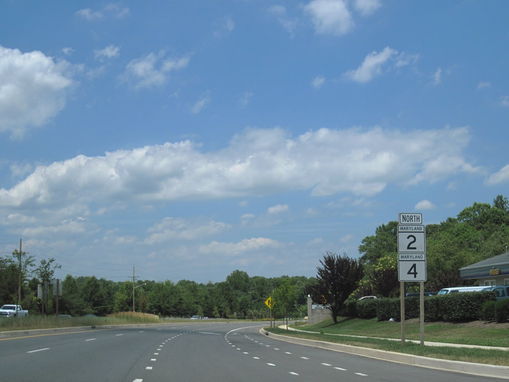
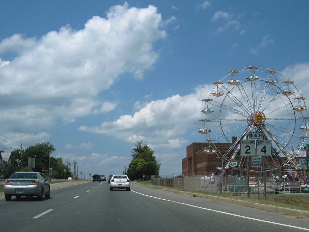
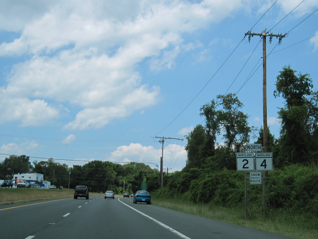
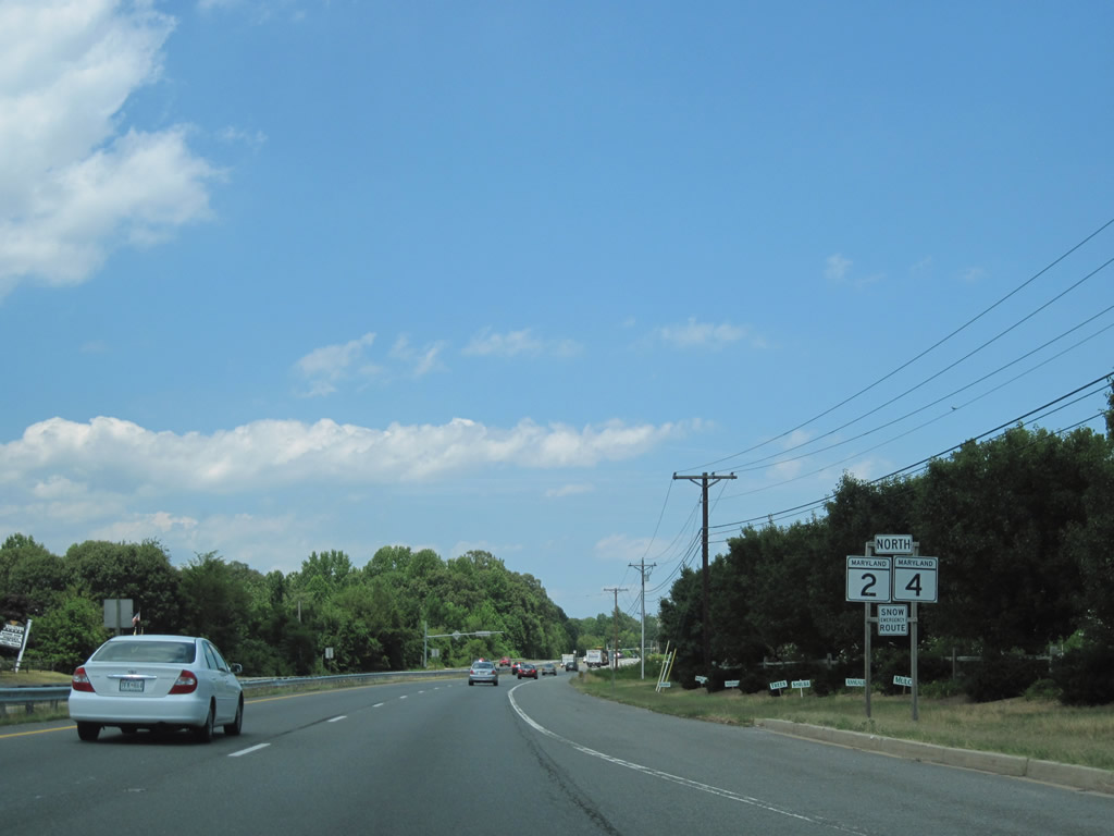
| MD 2/4 leave Prince Frederick and maintain four overall lanes with more commercialized frontage to follow. 06/25/10 |
|
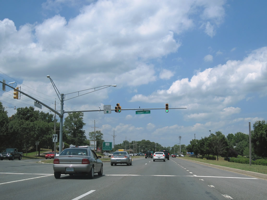
| Traskers Boulevard is one of three connectors between Solomons Island Road and parallel Prince Frederick Boulevard. Prince Frederick Boulevard serves shopping centers and apartments to the west of MD 2/4 between MD 231 and Stoakley Road. 06/25/10 |
|
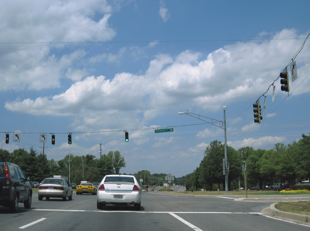
| Stoakley Road ends at MD 2/4 (Solomons Island Road) opposite Hospital Road. The local road spurs west to Gods Grace Point on the Patuxent River. 06/25/10 |
|
| Continuing north from Stoakley, MD 2/4 leave the suburban sprawl type landscape toward Huntingtown. 06/25/10 |
|
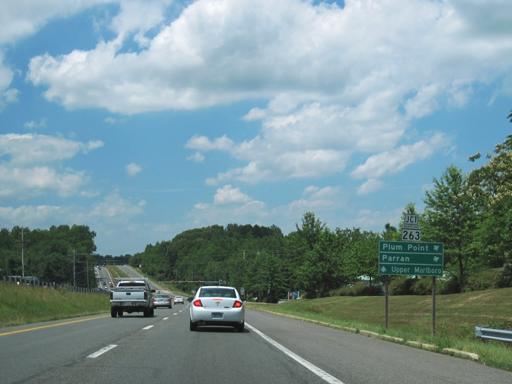
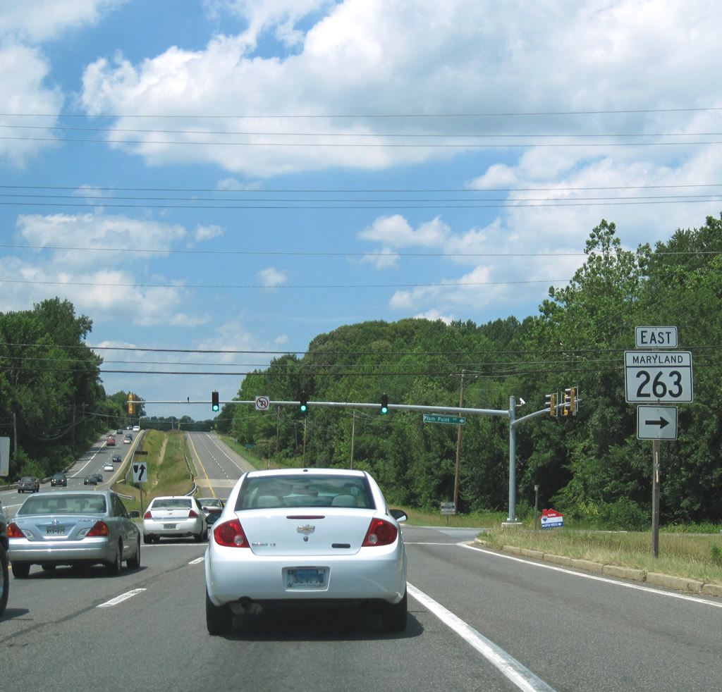
| Nearing the west end of MD 263 (Plum Point Road) on MD 2/4 (Solomons Island Road) north. MD 263 meanders 6.17 miles east from MD 2 & 4 to Plum Point on the Chesapeake Bay. 06/25/10 |
|
| MD 263 ventures two miles east to Parran and four miles to MD 261 (Bayside Road) north to Willows and Chesapeake Beach. 06/25/10 |
|
| Elevating from the Hunting Creek crossing toward Huntingtown on MD 2/4 north. 06/25/10 |
|
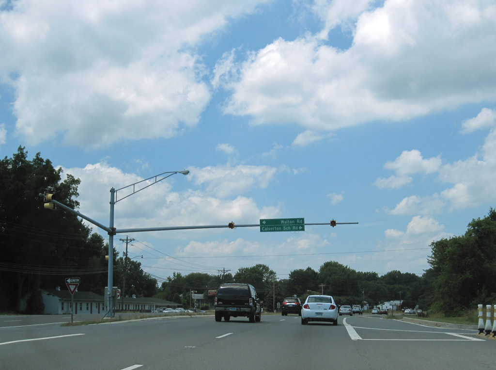
| A set of flashers hang above the MD 2/4 intersection with Walton Road south and Calvarton School Road east. 06/25/10 |
|
| Bowie Shop Road ends at MD 2/4 from Cox to the west ahead of these northbound reassurance markers. 06/25/10 |
|
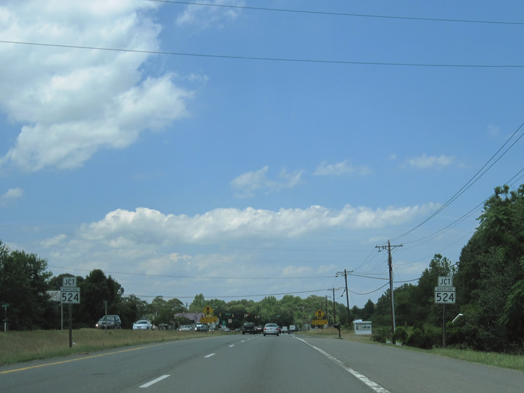
| MD 524 (Old Town Road) loops west from MD 2/4 (Solomons Island Road) through Huntingtown, utilizing the original MD 2 alignment. 06/25/10 |
|
| Cox Road stems east from MD 524 (Old Town Road) north to MD 263 near Parren. MD 524 north provides access to MD 521 (Hunting Creek Road) southwest to Cox and Deep Landing. 06/25/10 |
|
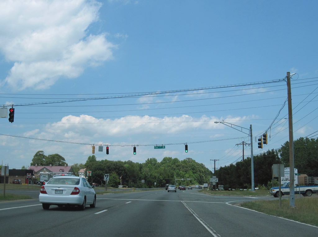
| MD 2/4 north stay east of Huntingtown between the MD 524 end points. Huntingtown High School follows at a signalized intersection. 06/25/10 |
|
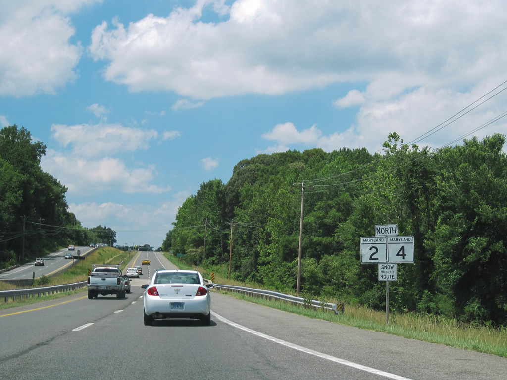
| MD 2 and 4 split after 27.4 miles near the community of Sunderland in northern Calvert County. 06/25/10 |
|
| MD 4 retains four lanes as Southern Maryland Boulevard north to Chaneyville, Dunkirk and the freeway at Bristol. MD 2 follows a two lane route northward from Sunderland through Mount Harmony, Tracys Landing, Mt. Zion, etc to the South River near Annapolis. 06/25/10 |
|
| Despite the use of guide signs, the MD 2 continuation of Solomons Island Road is no more than an at-grade intersection with MD 4 (Southern Maryland Boulevard). 06/25/10 |
|
| Continuing along MD 4, travelers arc westward to Upper Marlboro, Andrews A.F.B., Suitland, and Washington, DC. MD 2 reaches Annapolis in 25 miles. 06/25/10 |
Page Updated 08-31-2010.