|
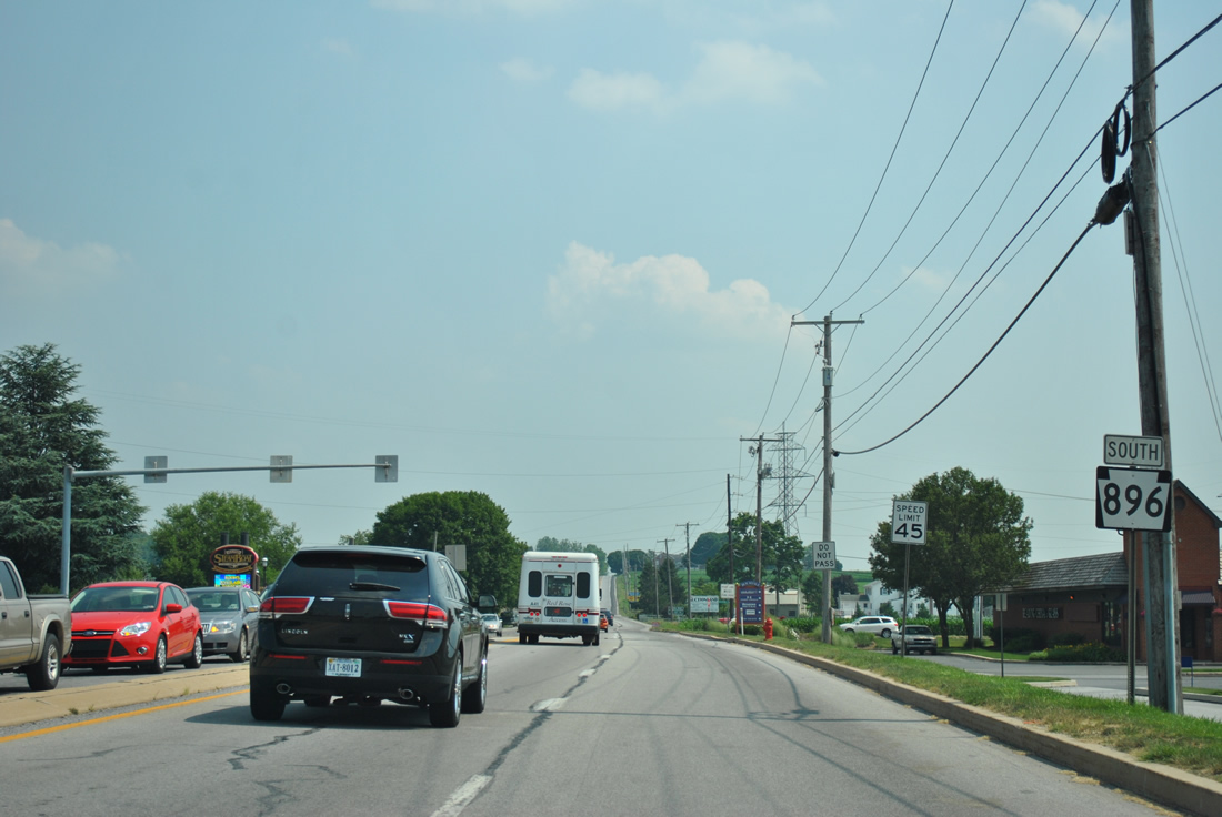
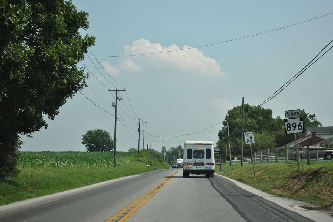
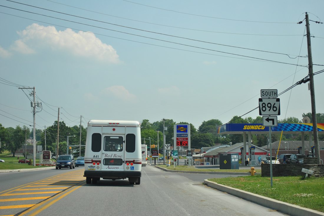
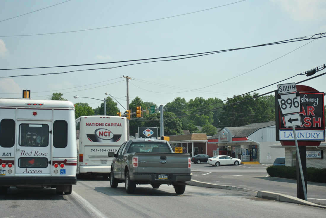
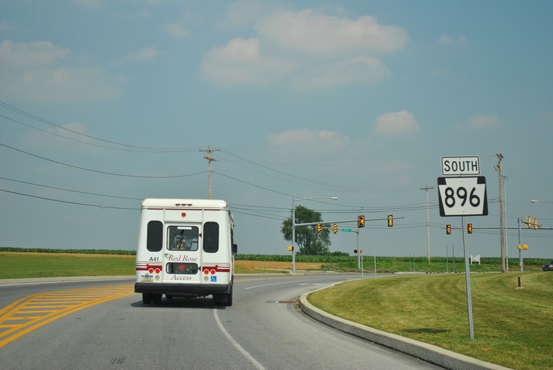
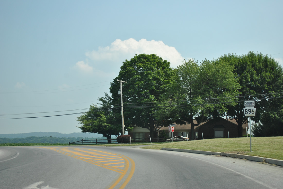
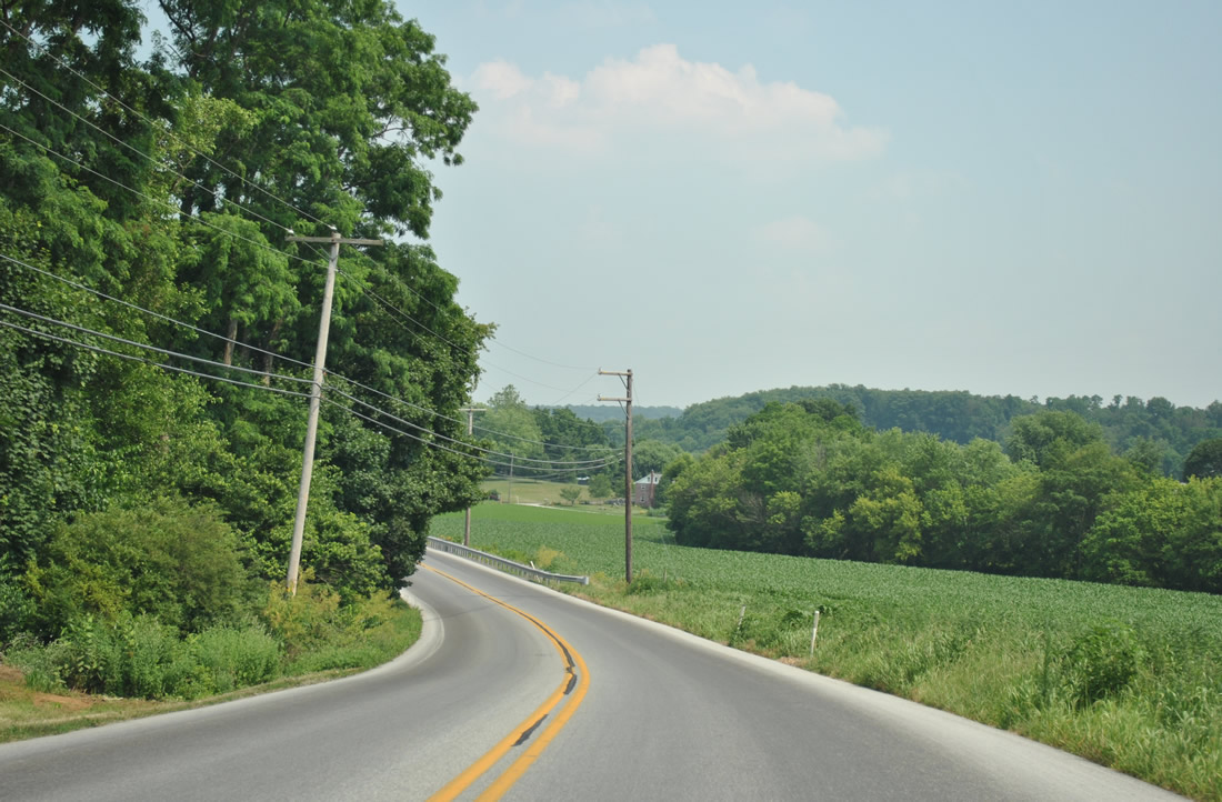
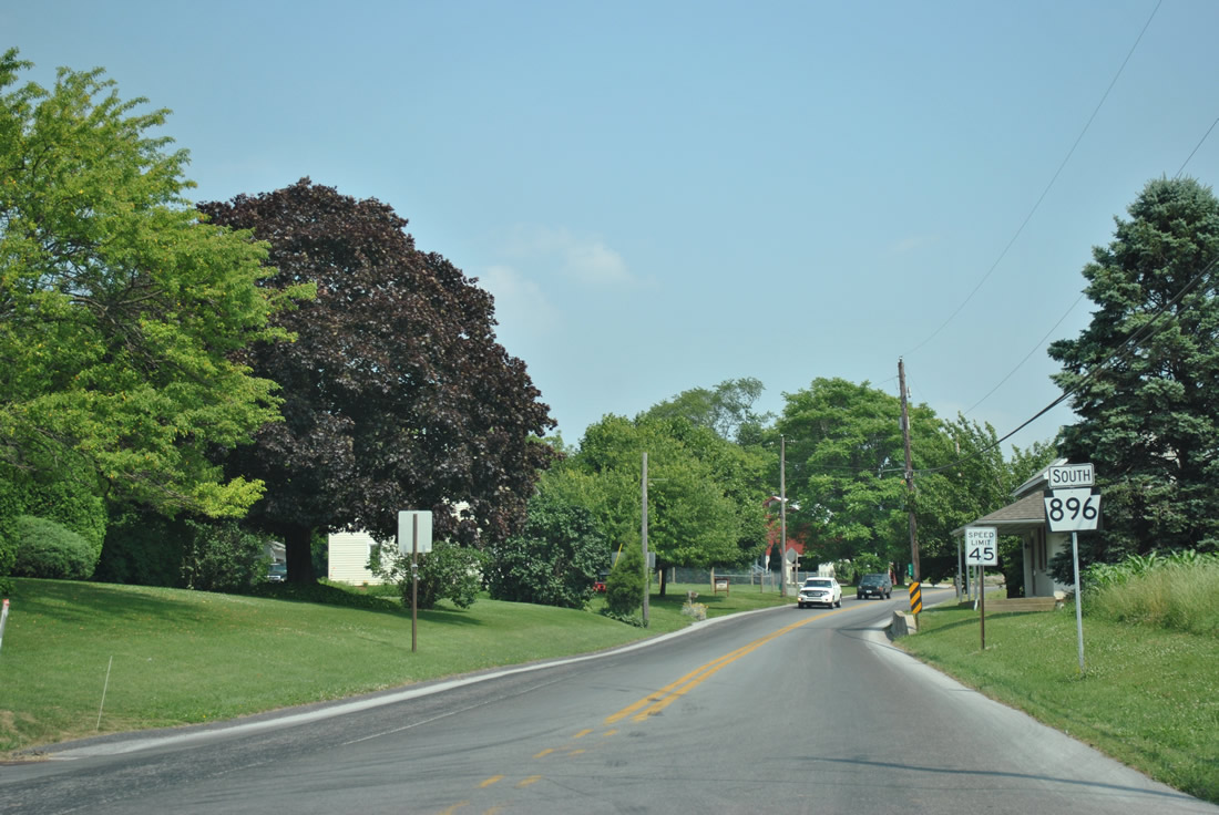
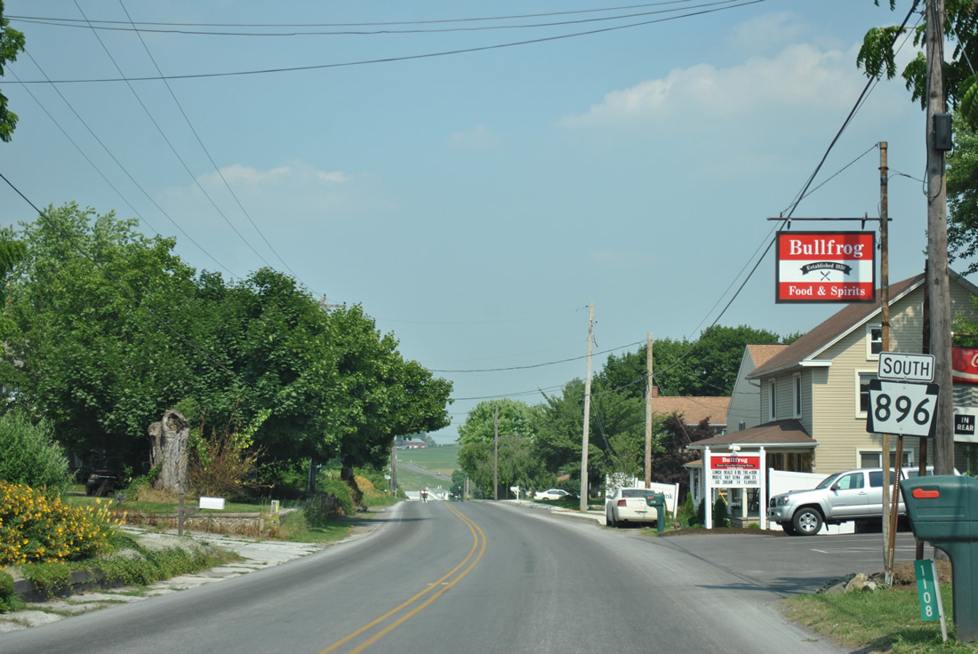
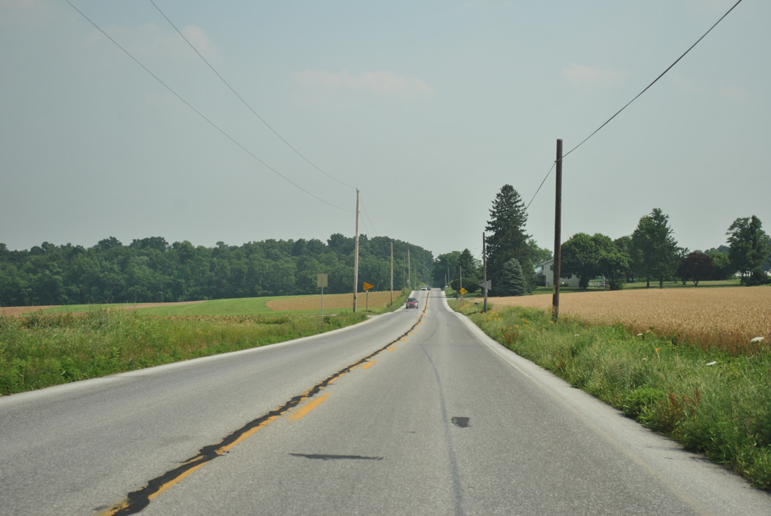
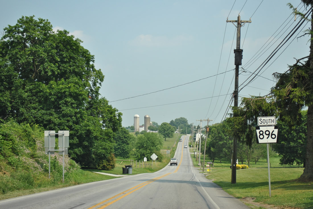
| PA 896 leaves a busy commercialized intersection with U.S. 30 (Lincoln Highway) on the outskirts of Lancaster. The state route began 1.2 miles to the north at Smoketown (PA 340). 06/21/12 |
|
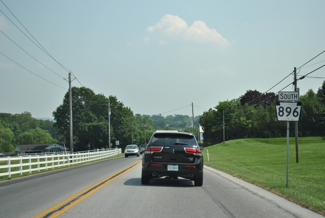
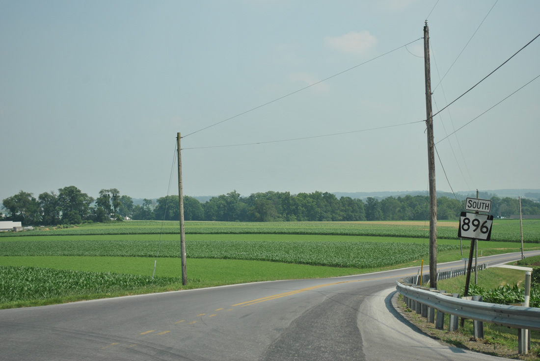
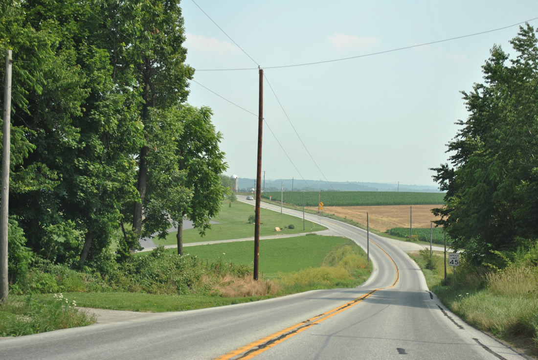
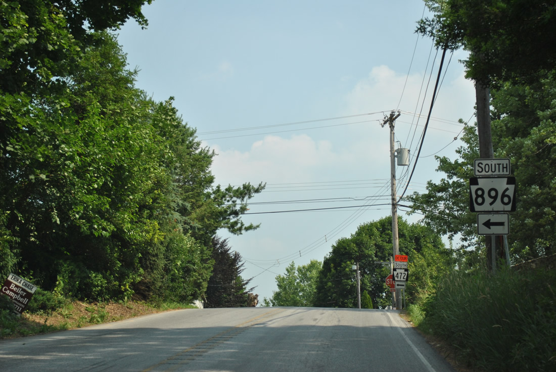
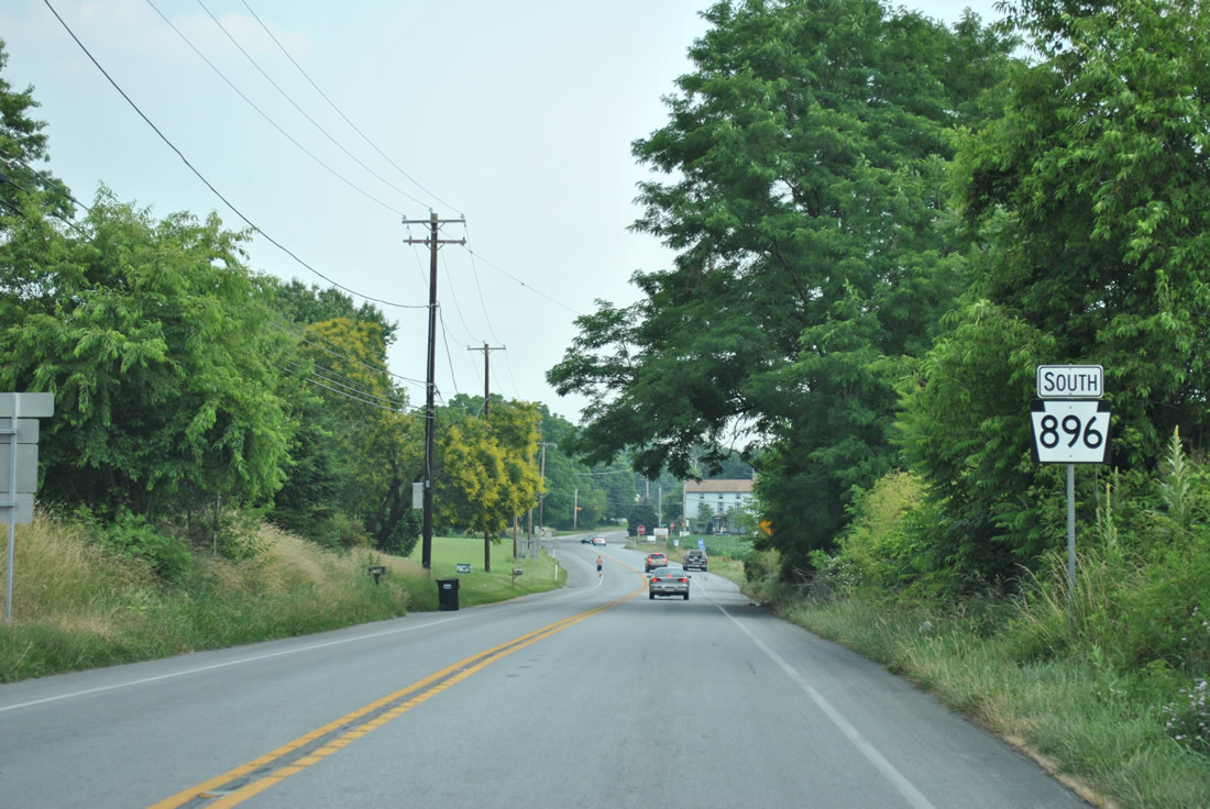
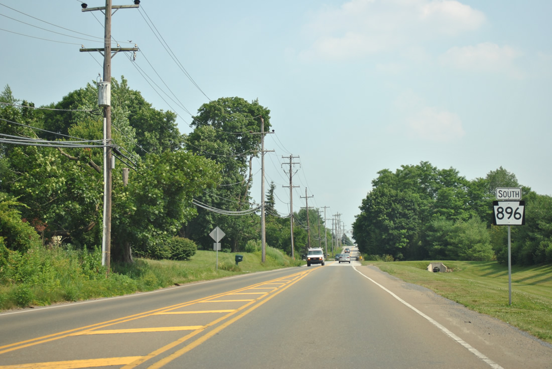
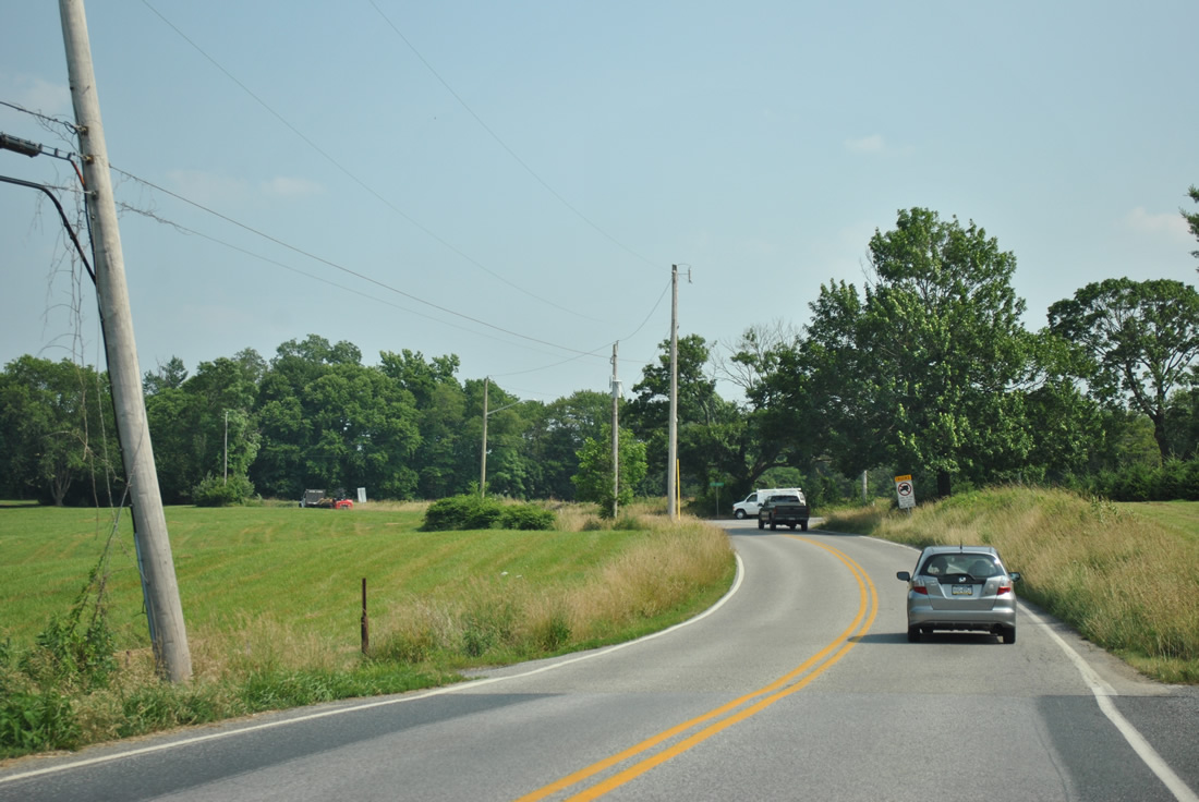
| Southbound reassurance marker posted ahead of Bachmantown Road. 06/21/12 |
|
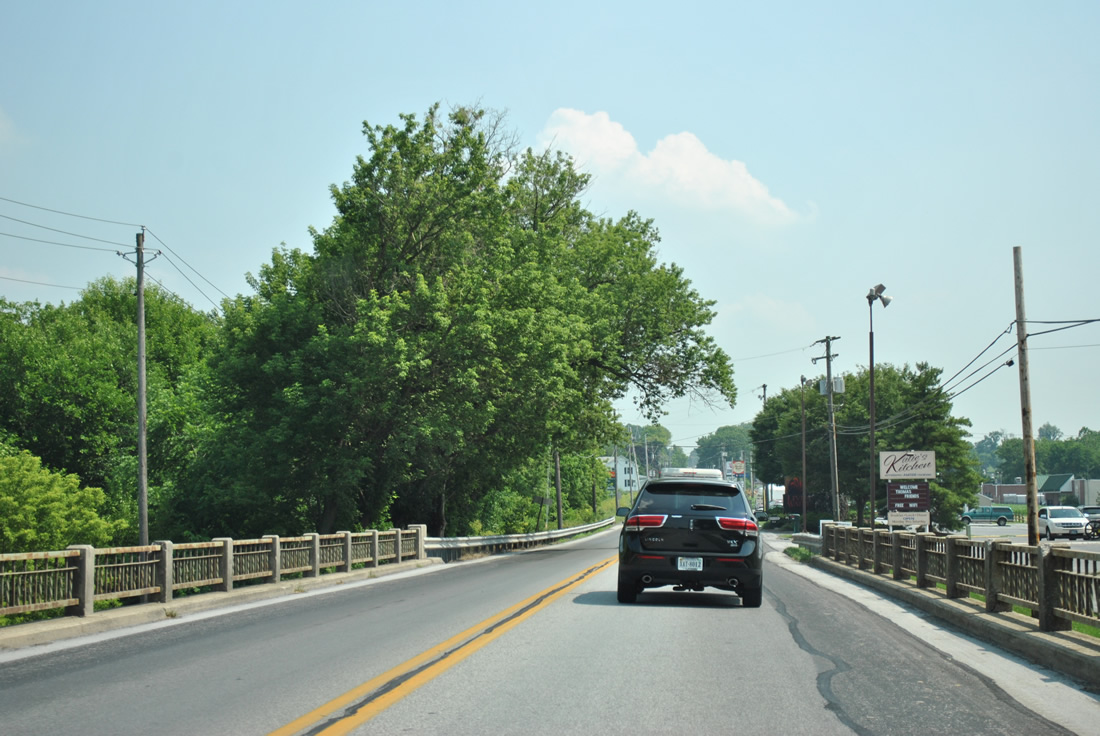
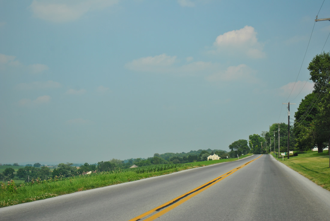
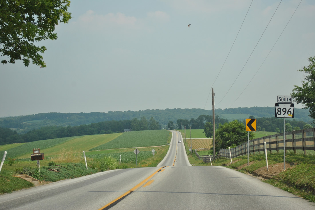
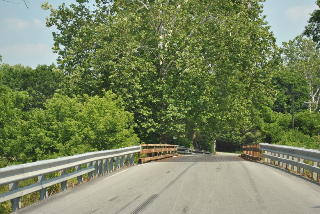
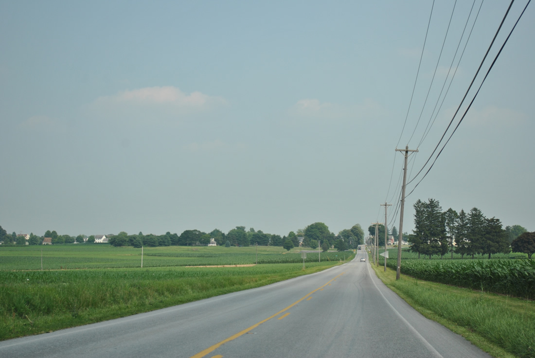
| Spanning Pequea Creek along PA 896 (Hartman Bridge Road). 06/21/12 |
|
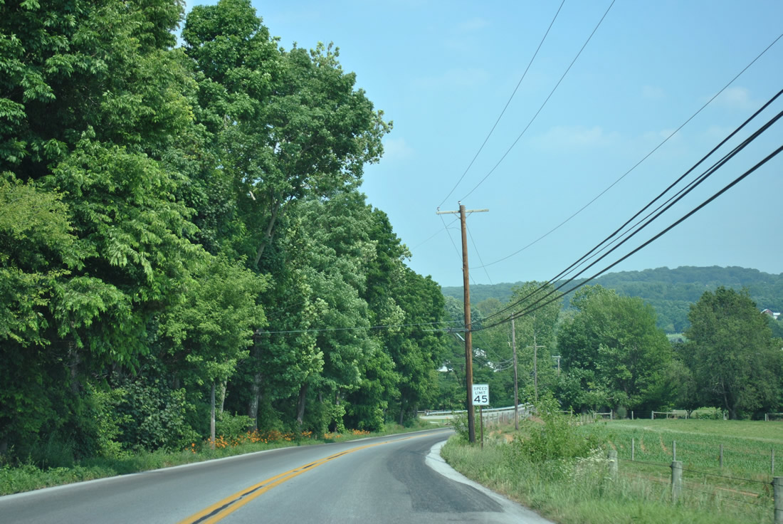
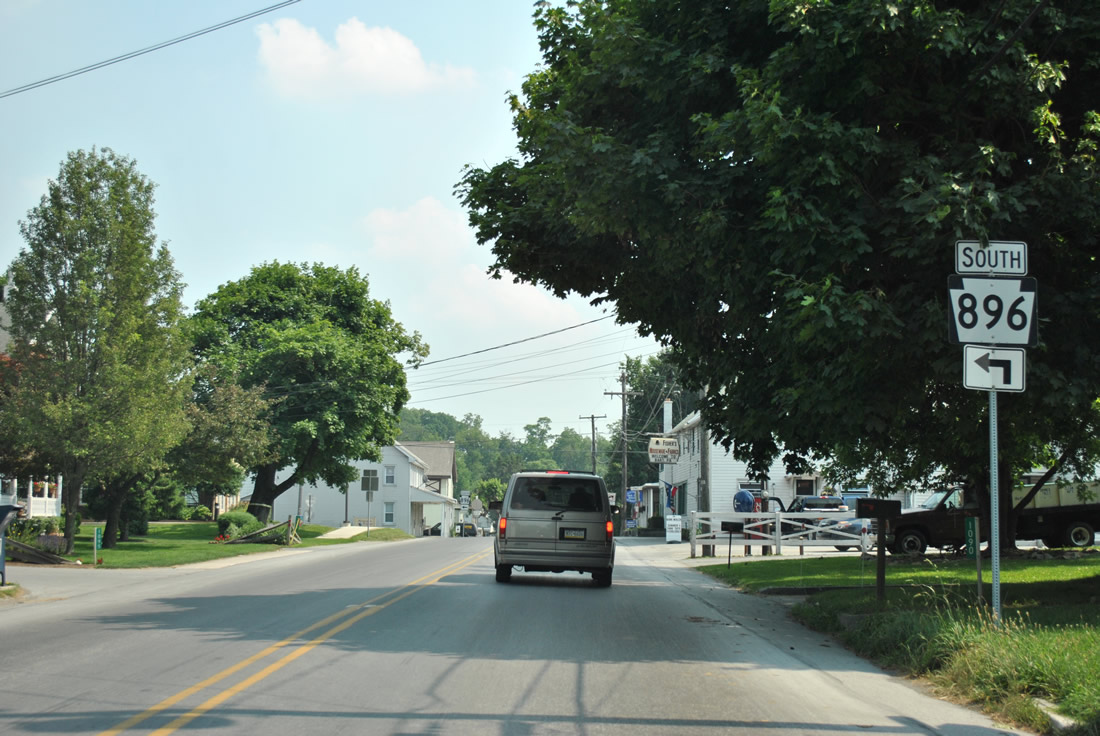
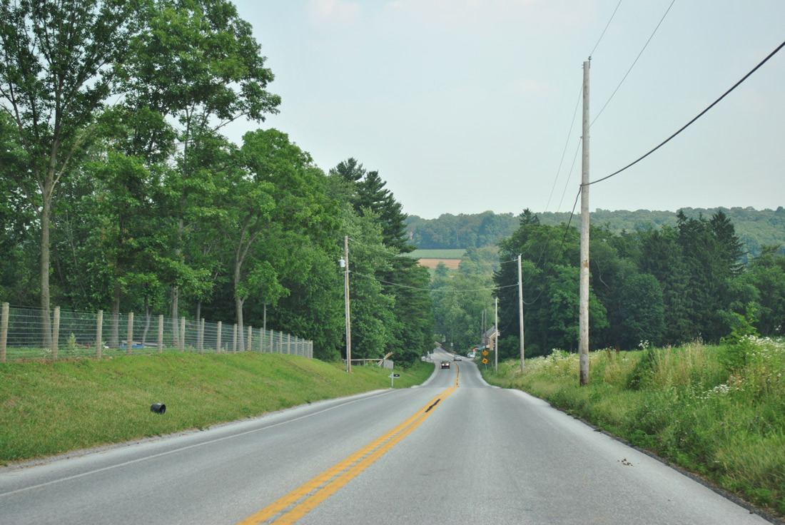
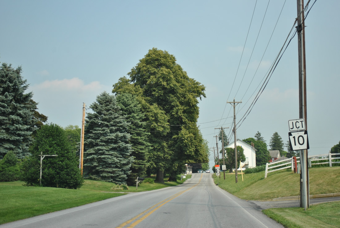
| Heading south from North Star Road, PA 896 enters the borough of Strasburg along Decatur Street. 06/21/12 |
|
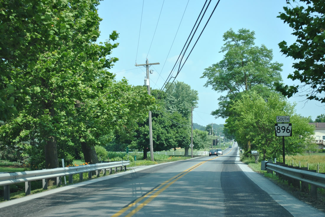
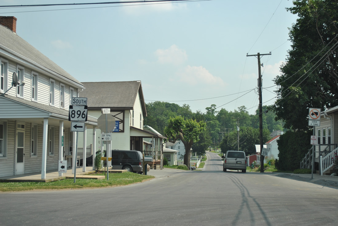
| Approaching the signalized intersection with Clover Avenue west and Historic Drive east along PA 896 (Decatur Street) south. Historic Drive leads east onto a 1.4 mile bypass of PA 896 around the east side of Strasburg while Decatur Street continues south to the village center. 06/21/12 |
|
| Constructed over the course of 12 months, the Strasburg Bypass (Historic Drive) was built at a cost of $8.3 million. The 40-foot wide road opened to traffic on November 17, 2009,1 moving PA 896 from Decatur Street south and an overlap with PA 741 along East Main Street. 06/21/12 |
|
| A number of businesses preceded the completion of the Strasburg Bypass along Historic Drive. The two lane roadway was incorporated into the realigned PA 896 east of Decatur Street, with the forthcoming traffic light at Old Post Lane. 06/21/12 |
|
| PA 896 winds east from McCarter Lane along the 2009-completed roadway to Fairview Road and PA 741 (Gap Road). A short section of Fairview Road was closed to accommodate the Historic Drive extension. 06/21/12 |
|
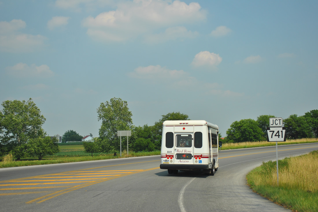
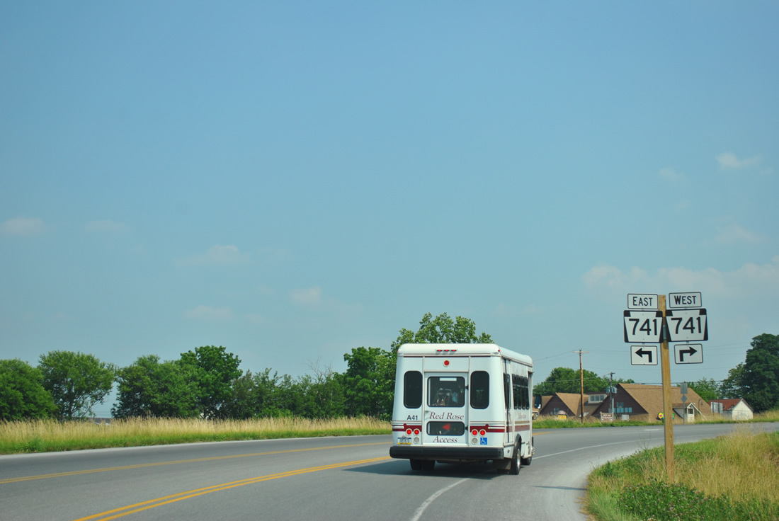
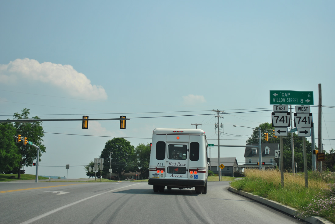
| An east-west road stretching 26 miles from East Petersburg to Gap, PA 741 meets PA 896 at a traffic light just east of their original split. 06/21/12 |
|
| PA 741 ventures west eight miles to the community of Willow Street, where the route merges with U.S. 222. Gap Road carries the state route east to the nearby Strasburg Railroad and Railroad Museum of Pennsylvania and the town of Gap (PA 41). 06/21/12 |
|
| Immediately south of PA 741 (Gap Road), PA 841 turns onto Georgetown Road, its original alignment southeast from Strasburg. 06/21/12 |
|
| Turning eastward, PA 896 (Georgetown Road) enters a mixture of Amish countryside and rural home sites ahead of the crossing over Mine Ridge. 06/21/12 |
|
| A shield assembly for PA 896 south follows Rohrer Mill Road and Calamus Run in Paradise Township. 06/21/12 |
|
| The elevation along PA 896 (Georgetown Road) increases to 820 feet above sea level at the intersection with Belmont Road. The state route proceeds southeast from there across Mine Ridge. 06/21/12 |
|
| Leaving the intersection with White Oak Road at 800 feet above sea level, southbound drivers see another shield assembly as PA 896 bisects a swath of open farm land. 06/21/12 |
|
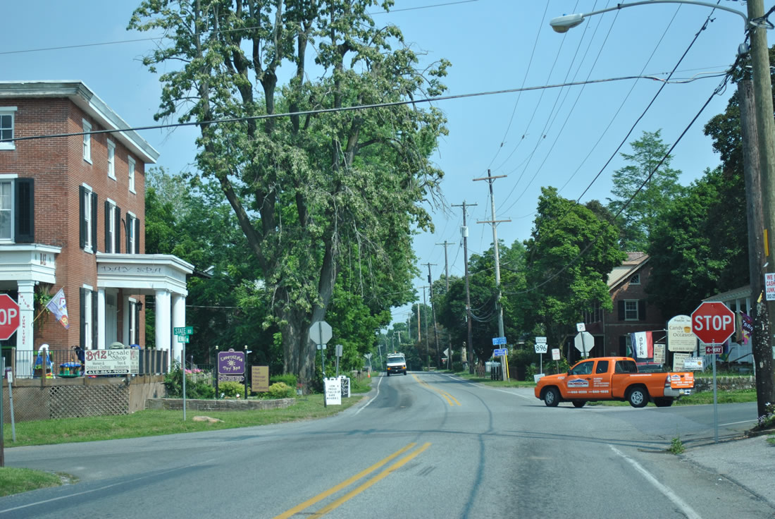
| Entering Georgetown, PA 896 approaches a left turn at Furnace Road and Lancaster Avenue. 06/21/12 |
|
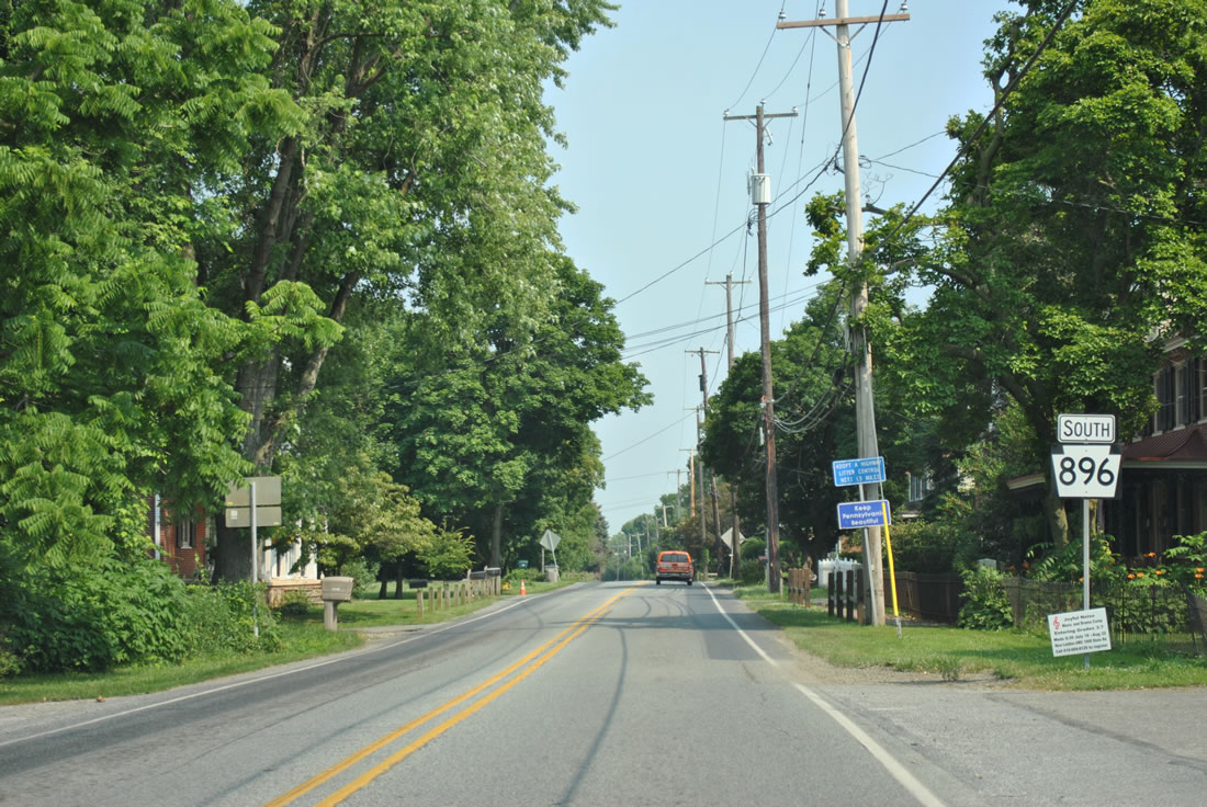
| Georgetown Road turns east with PA 896 from the community of Georgetown at Lancaster Avenue south and Furnace Road west to Mt. Pleasant. 06/21/12 |
|
| Facing east, motorists pass by this reassurance marker along Georgetown Road after Lancaster Avenue. 06/21/12 |
|
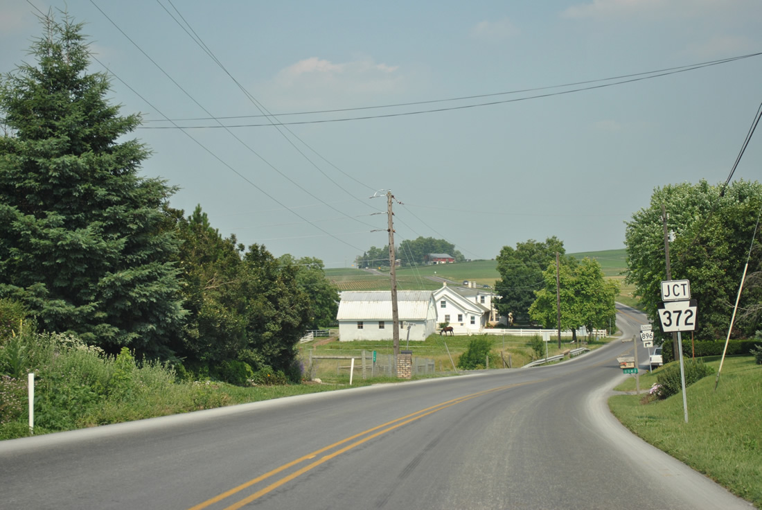
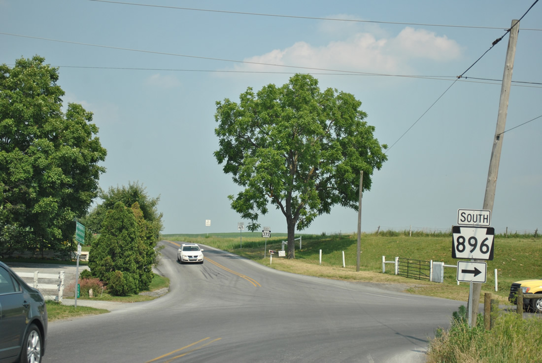
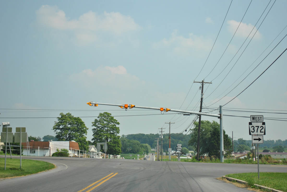
| PA 896 (Georgetown Road) meets PA 372 (Christiana Pike) on the east side of Georgetown by Nickel Mines Run. 06/21/12 |
|
| Resuming a southward heading, PA 896 combines with PA 372 for a one mile overlap to Green Tree. 06/21/12 |
|
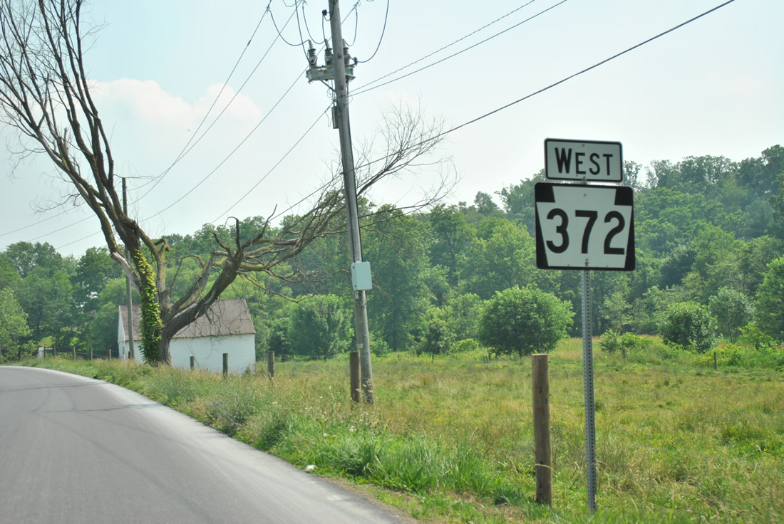
| A 34 mile route PA 372 runs east from Georgetown to Smyrna, Christiana and Atglen before ending at PA 82 in Coatesville. 06/21/12 |
|
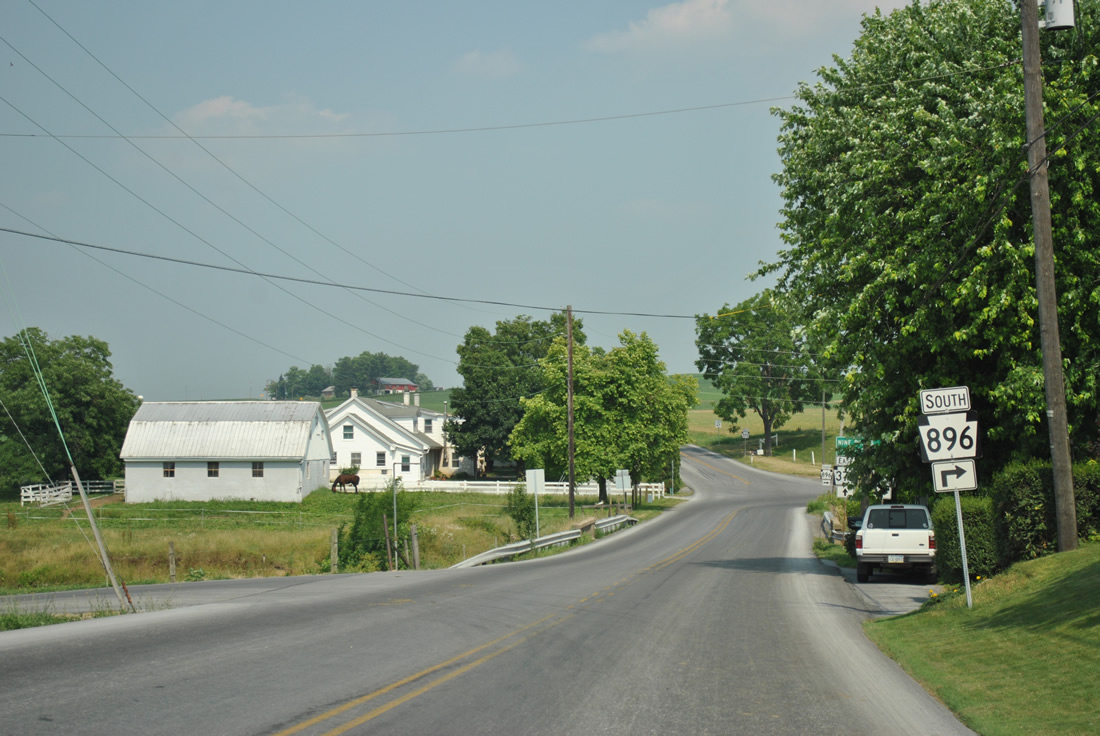
| PA 372 west and PA 896 south parallel Nickel Mines Run southward to Green Tree. 06/21/12 |
|
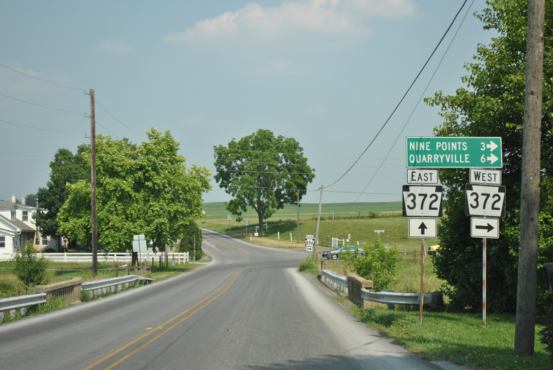
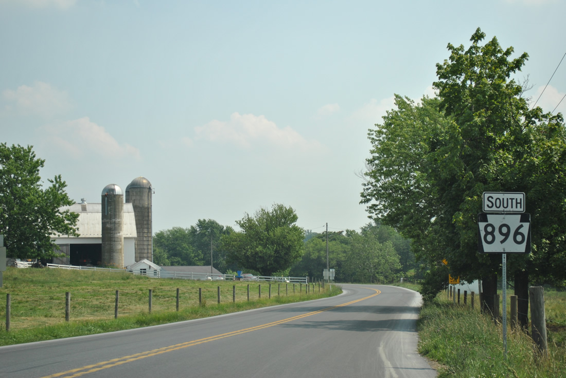
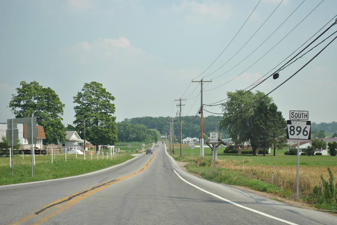
| PA 372 turns westward onto Valley Road from Green Tree and PA 896 along a five mile course to Quarryville while Valley Road heads east to Coopersville. 06/21/12 |
|
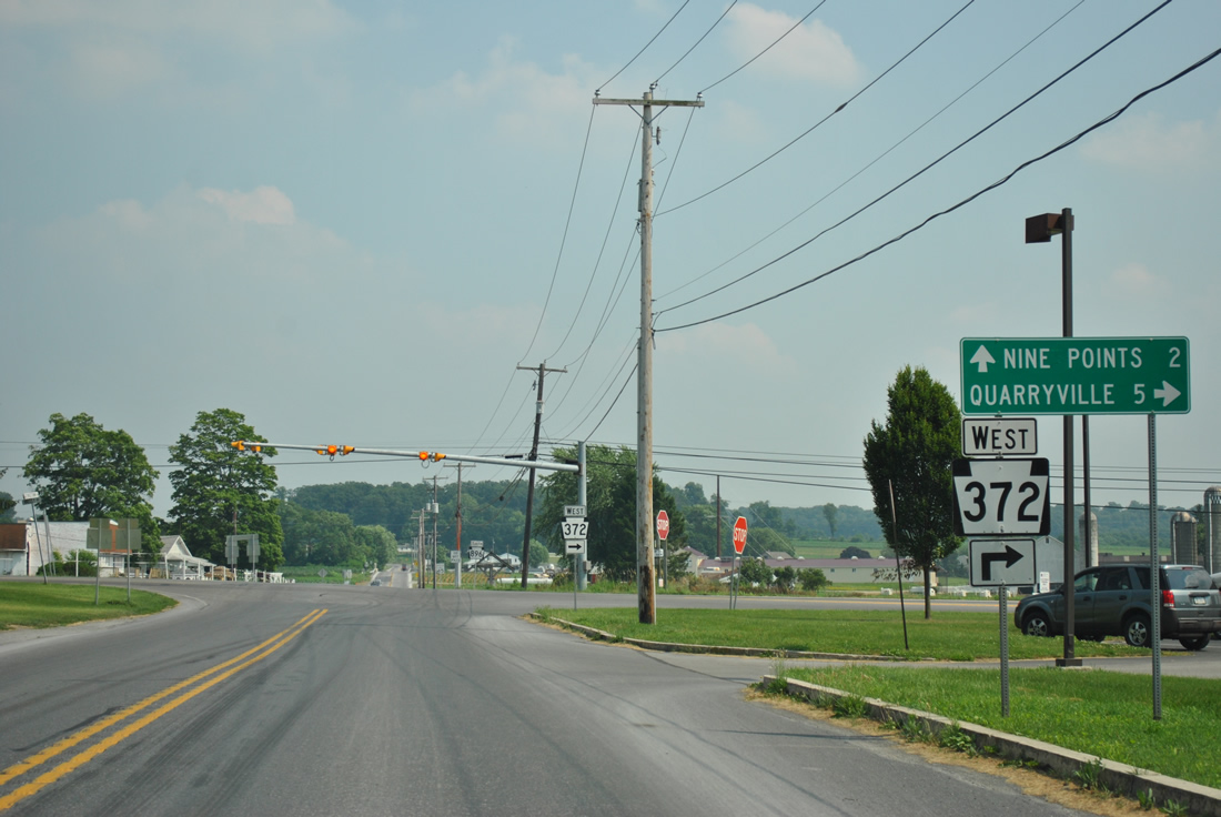
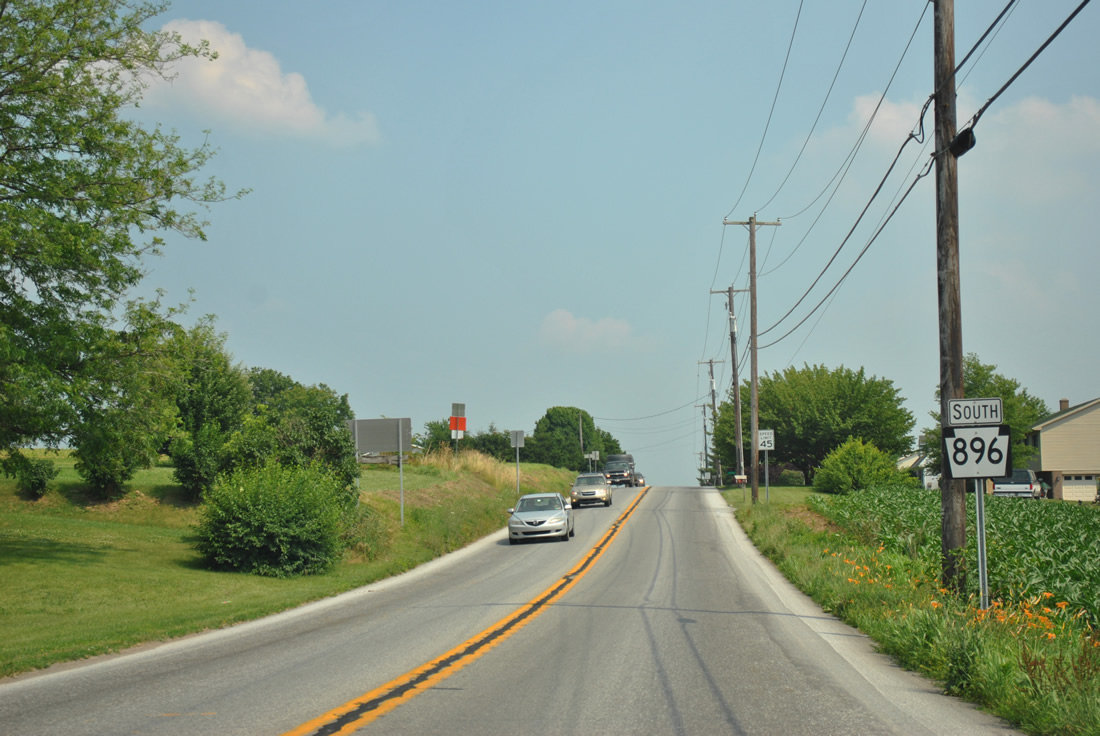
| PA 896 advances south from a set of flashers to Nine Points. PA 372 continues west from Quarryville to Buck before crossing the Susquehanna River to PA 74 near Sunnyburn. The Susquehanna River bridge is the only crossing between Lancaster and Conowingo Dam. 06/21/12 |
|
| More open farm land awaits southbound PA 896 drivers after the split with PA 372. 06/21/12 |
|
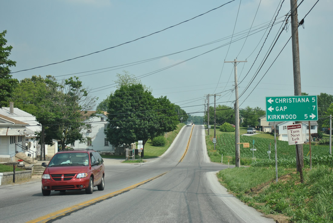
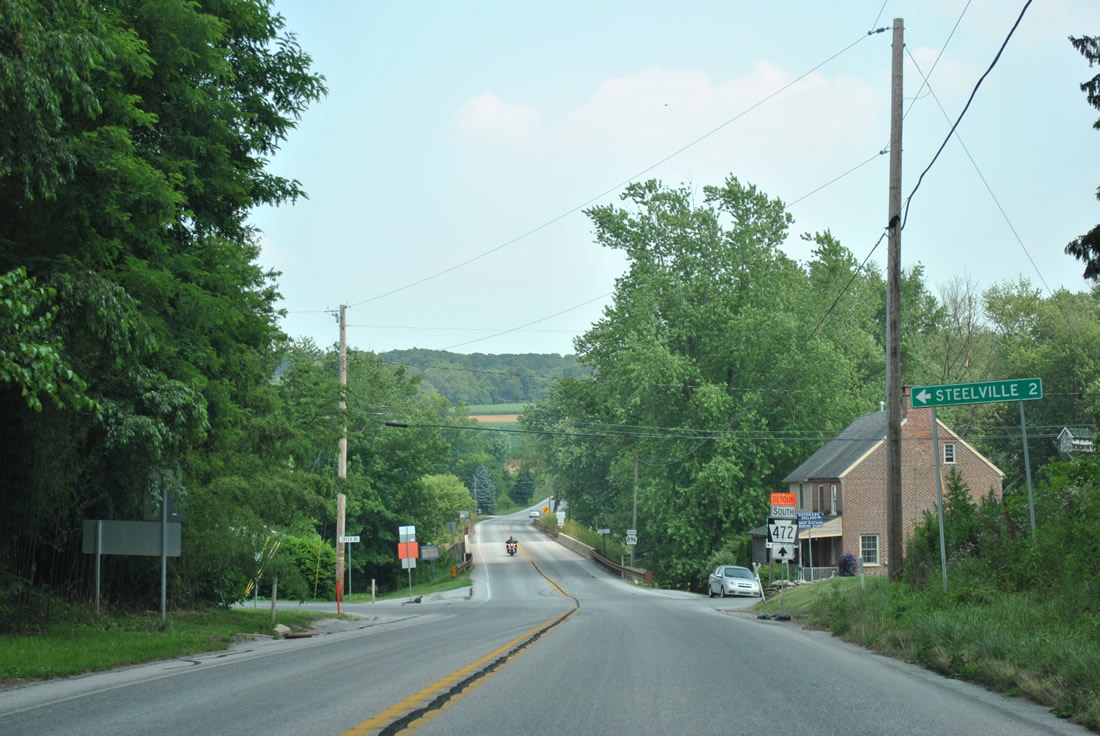
| Noble Road meets PA 896 (Georgetown Road) at Nine Points. Noble Road provides an alternate route to Christiana and PA 372 to the east and Kirkwood via PA 472 to the west. 06/21/12 |
|
| Bartville Road crosses paths with PA 896 east of Bartville and west of Steelville ahead of this shield assembly. 06/21/12 |
|
| PA 896 (Georgetown Road) drops from 700 feet in elevation at Bartville Road to 500 feet at School House Road through southeastern Lancaster County. 06/21/12 |
|
| Heading south from Maple Shade Road, PA 896 lowers toward Andrews Bridge and the East Branch of Octoraro Creek. 06/21/12 |
|
| Creek Road meanders alongside the East Branch Octoraro Creek to Steelville. 06/21/12 |
|
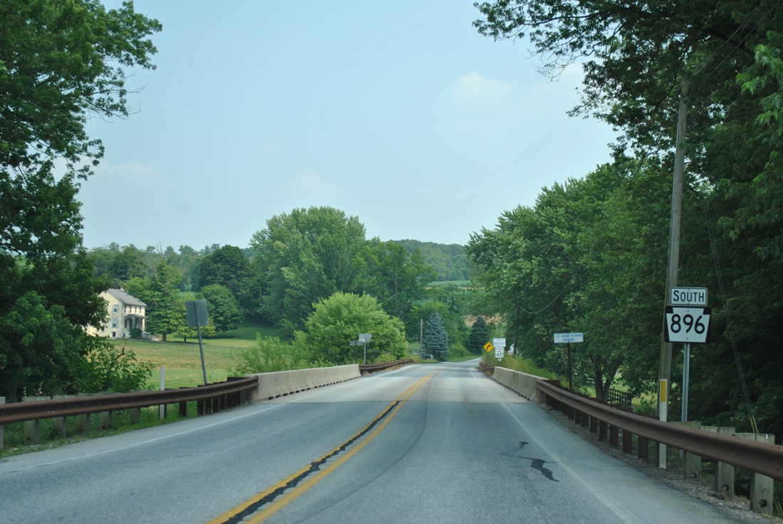
| Spanning the East Branch Octoraro Creek, which represents the dividing line between Lancaster and Chester Counties northward to Christiana and southwest to near Pine Grove. 06/21/12 |
|
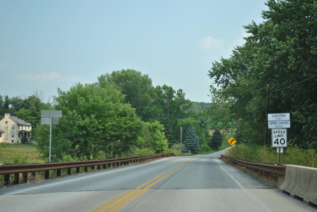
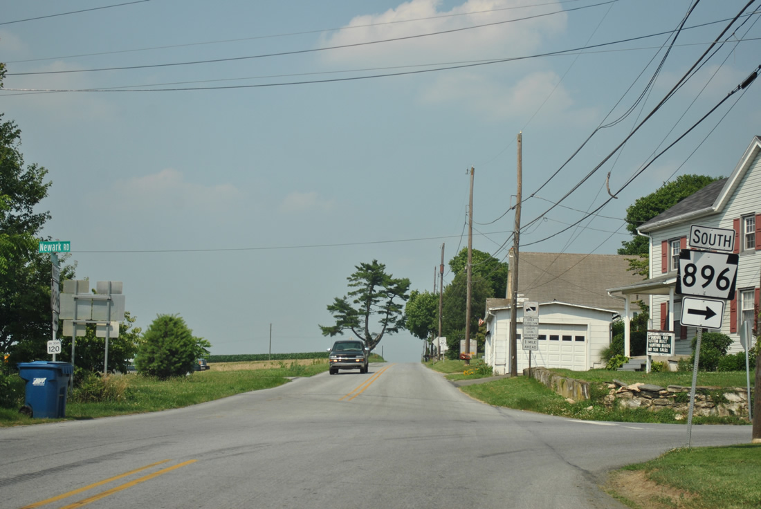
| PA 896 becomes Newark Road after the county line and climbs again to over 525 feet in elevation. 06/21/12 |
|
| PA 896 (Newark Road) makes a dog leg through the settlement of Homeville. 06/21/12 |
|
| Newark Road resumes from Homeville Road as the alignment for PA 896 southeast to Russellville as Homeville Road continues northeast to Cochranville. 06/21/12 |
|
| A narrow bridge with a steel deck carries PA 896 (Newark Road) across Muddy Run just east of Homeville. 06/21/12 |
|
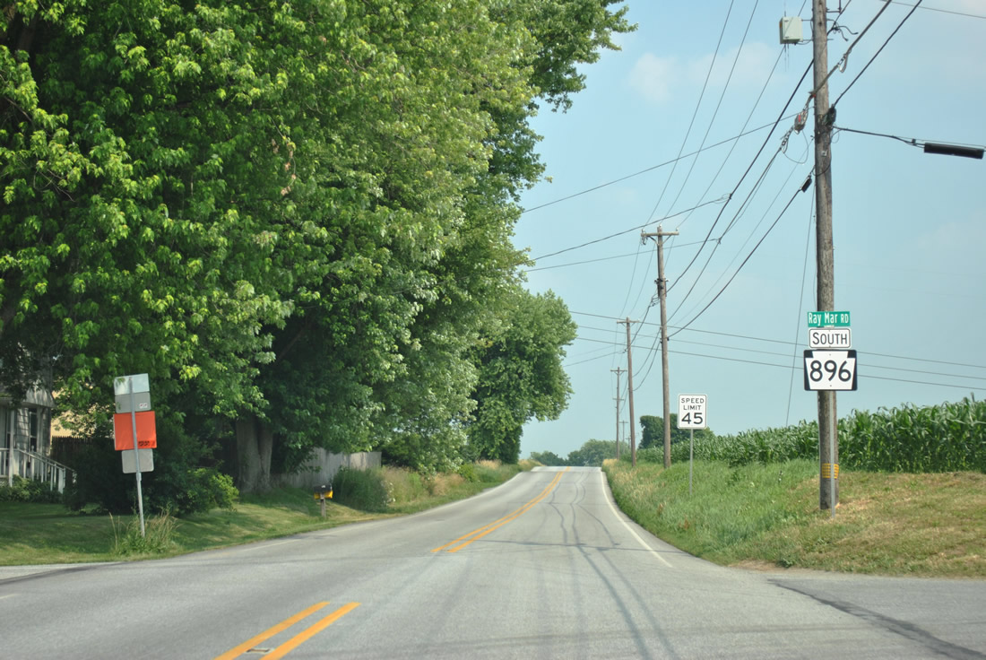
| Ray Mar Road north and Edenton Road west come together at this rural intersection in Upper Oxford Township. 06/21/12 |
|
| Russellville spreads into view along PA 896 (Newark Road) south. 06/21/12 |
|
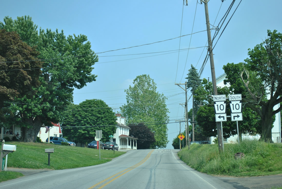
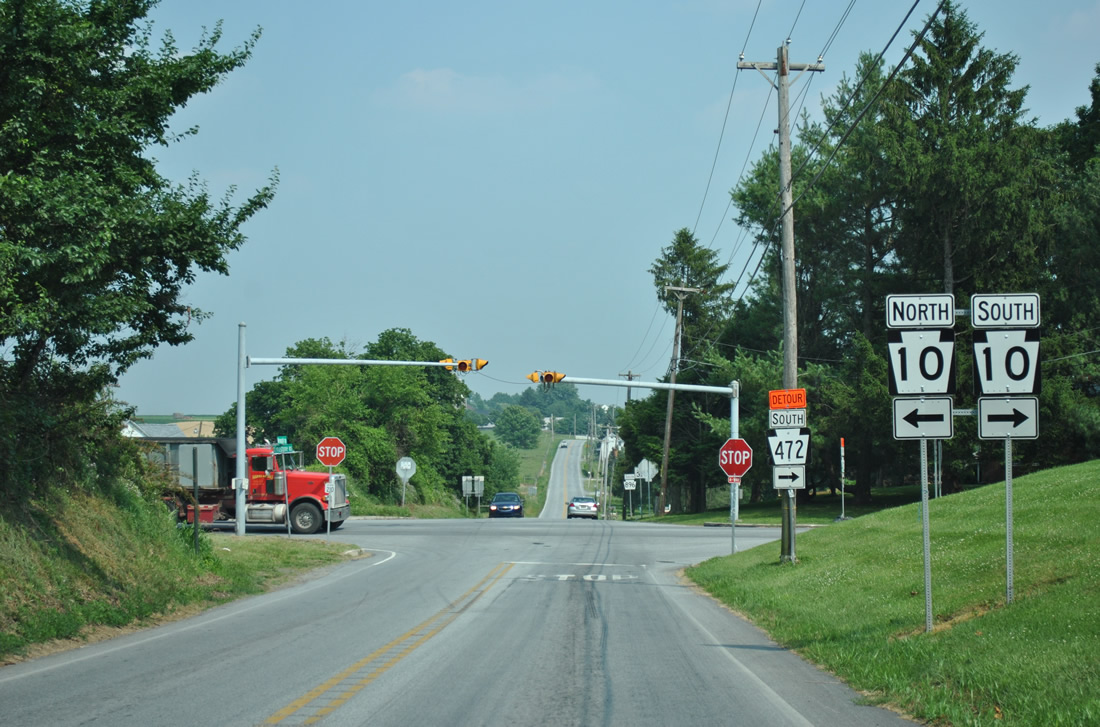
| PA 10 (Limestone Road) meets PA 896 in Russellville. The north-south route totals 49 miles from Oxford to Reading, doubling as the former alignment of U.S. 122. 06/21/12 |
|
| Old Limestone Road intersects PA 896 (Newark Road) ahead of PA 10 (Limestone Road). 06/21/12 |
|
| PA 10 travels north from Russellville 3.5 miles to Cochranville and 4.6 miles south to PA 472 in Oxford. 06/21/12 |
|
| Continuing south from the stop sign at PA 10 along PA 896 (Newark Road). 06/21/12 |
|
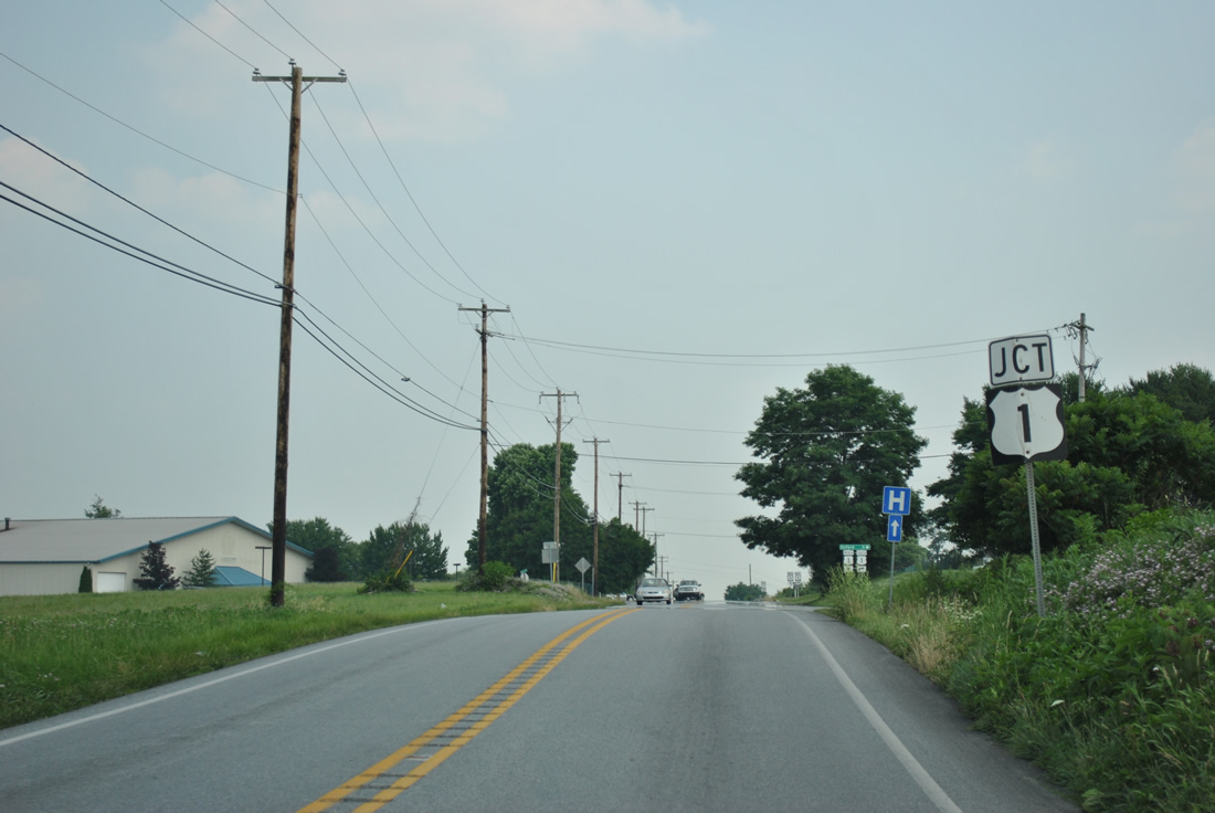
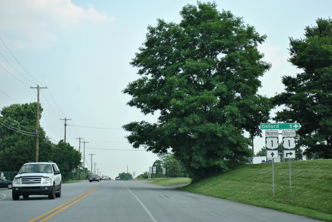
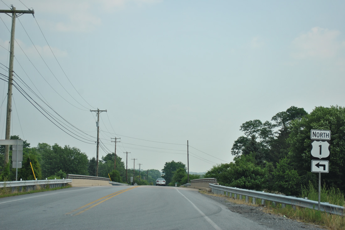
| A parclo interchange joins PA 896 with U.S. 1 (Kennett Oxford Bypass). 06/21/12 |
|
| U.S. 1 bypasses Oxford to the north and west, with two interchanges (PA 10 and PA 472) serving the borough. 06/21/12 |
|
| The freeway portion of U.S. 1 concludes at the Maryland state line, where the highway downgrades to a two lane roadway to Conowingo Dam. 06/21/12 |
|
| The northbound ramp departs next for West Grove, Kennett Square and Media. 06/21/12 |
|
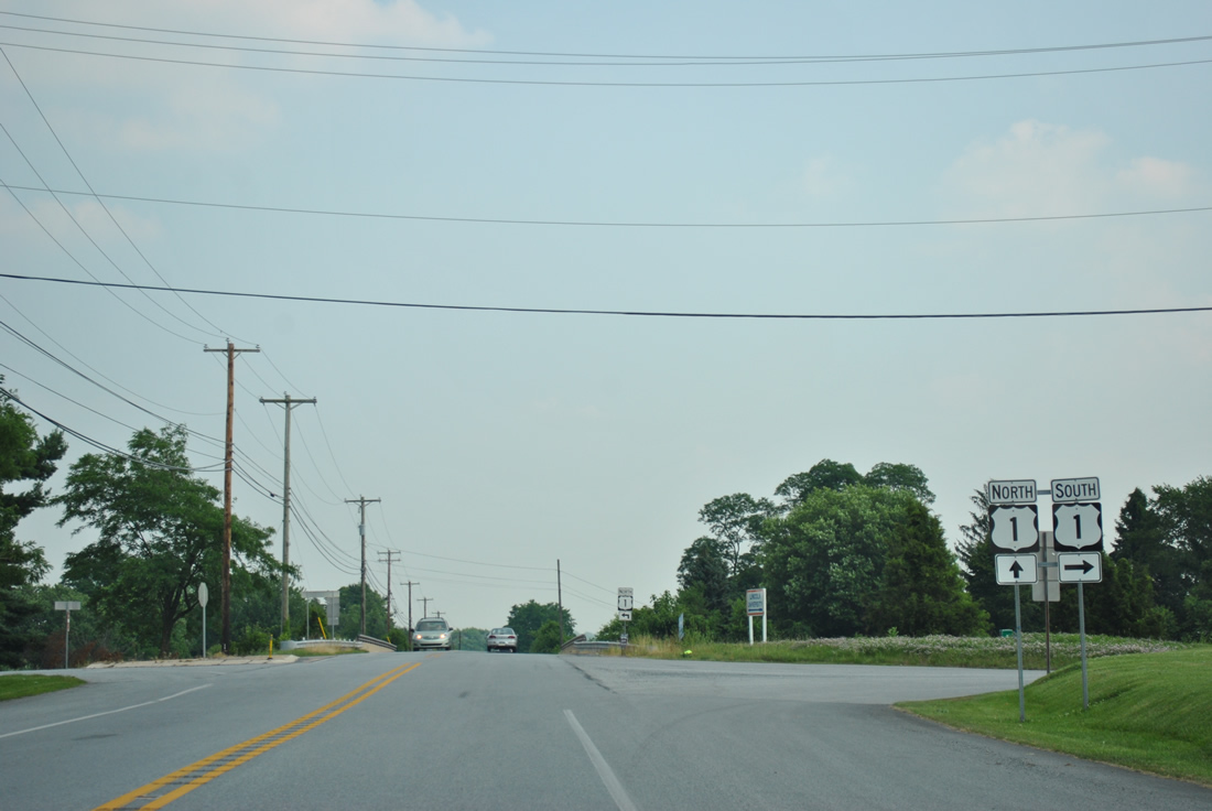
| U.S. 1 follows the bypass freeway to Baltimore Pike, midway between Kennett Square and Longwood. 06/21/12 |
|
| Heading south from U.S. 1, PA 896 (Newark Road) enters the settlement of Forestville. 06/21/12 |
|
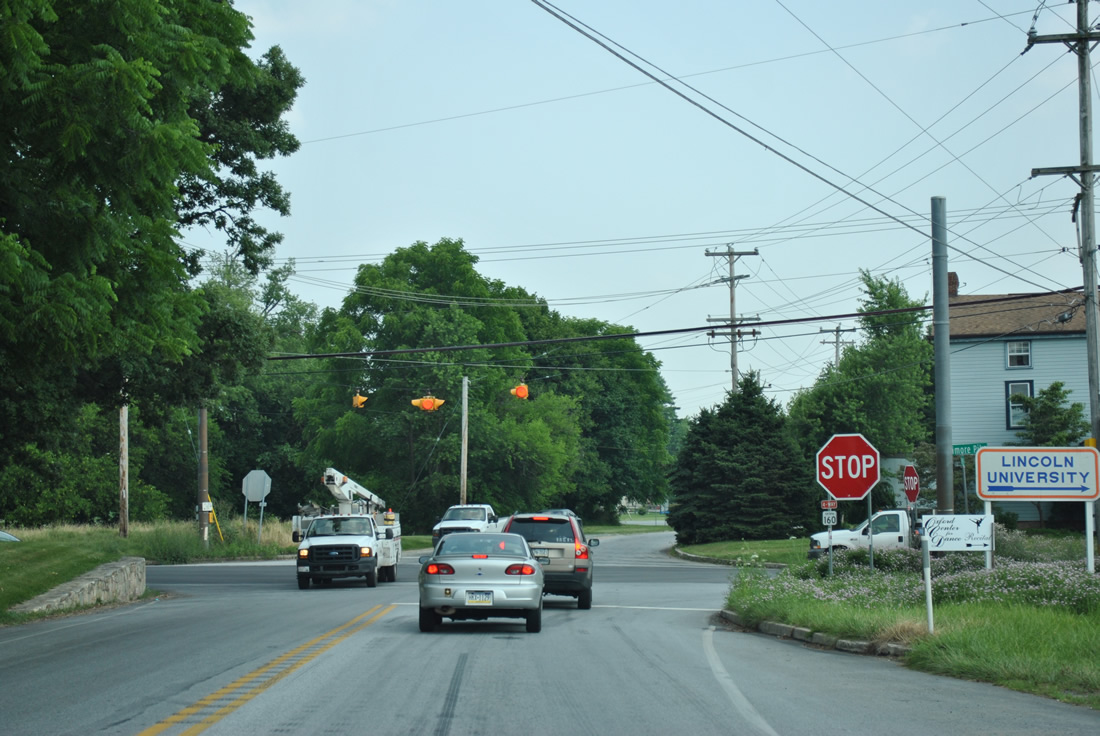
| A four-way stop lies at the intersection of PA 896 and Baltimore Pike at Forestville. Baltimore Pike represents the original U.S. 1 alignment, heading east to Jennersville and west to Lincoln University. 06/21/12 |
|
| PA 896 (Newark Road) angles eastward from Baltimore Pike to cross the East Branch of Big Elk Creek. 06/21/12 |
|
| A handful of suburban style subdivisions line PA 896 south from Corby Road at Elkview. Along this stretch is the Octoraro Railroad crossing. 06/21/12 |
|
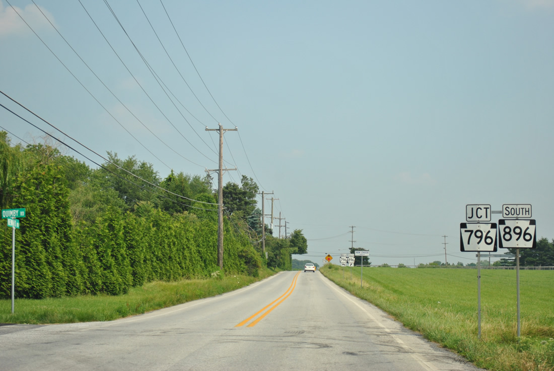
| South from Elkview, PA 896 (Newark Road) approaches the southern terminus of PA 796 (Jennersville Road). 06/21/12 |
|
| Jennersville Road carries all 5.8 miles of PA 796 south from PA 41 near Daleville to PA 896 at New London Township. 06/21/12 |
|
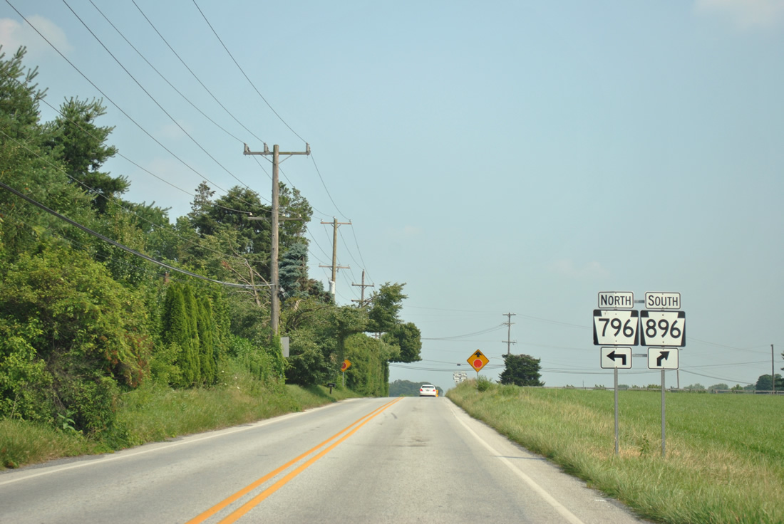
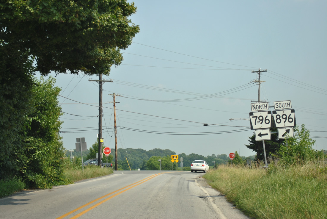
| Traffic from PA 796 (Jennersville Road) south combines with PA 896 (Newark Road) south at a three-way stop sign. 06/21/12 |
|
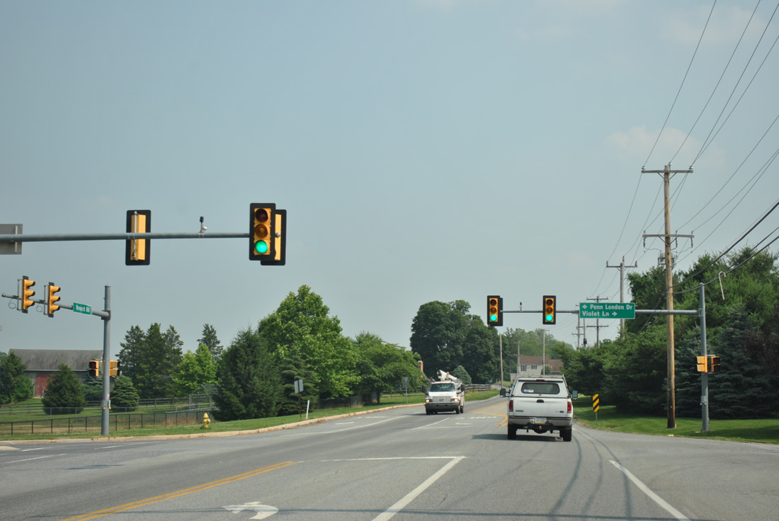
| A set of mast-arm supported signals follow at the adjacent intersection with Violet Lane west and Penn London Drive east, serving a pair of schools. 06/21/12 |
|
| Oxford Road ties into PA 896 (Newark Road) from Elkdale to the west at this reassurance marker. 06/21/12 |
|
| State Road crosses paths with PA 896 at a four-way stop in the community of New London. 06/21/12 |
|
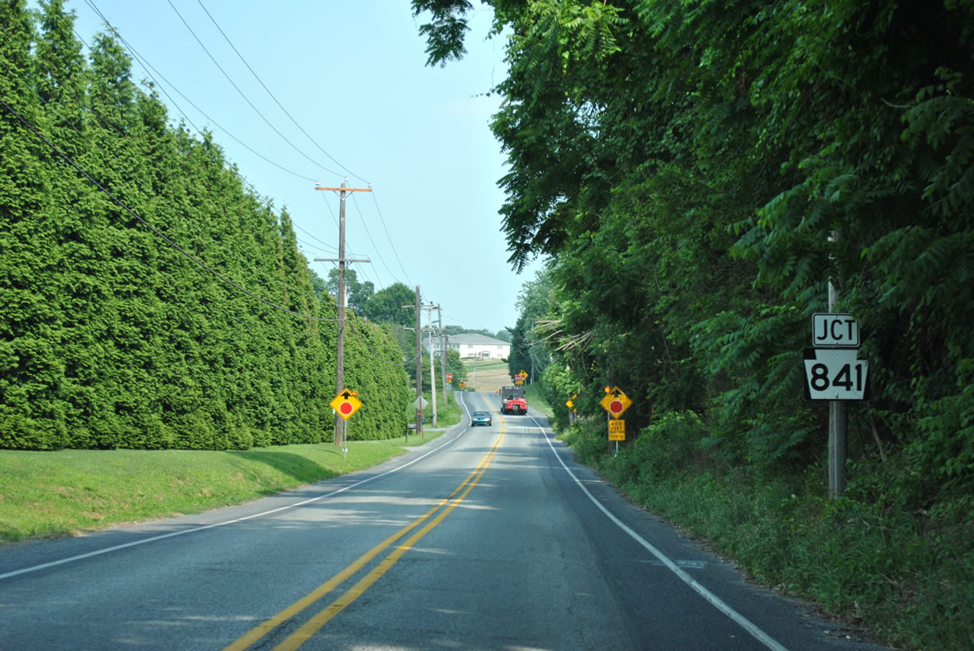
| Now within Franklin Township, PA 896 (Newark-New London Road) nears PA 841 and a pair of stop signs. 06/21/12 |
|
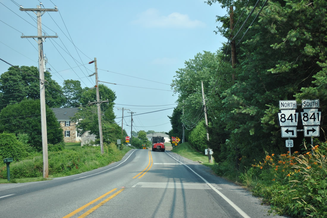
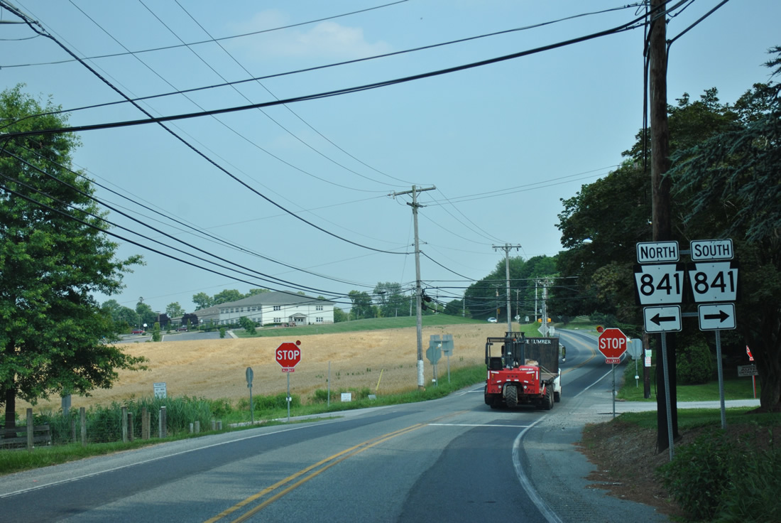
| The stop sign at Den Road was added in 2012. It precedes the intersection with Chesterville Road (PA 841) by 325 feet. PA 841 totals 17.3 miles from Lewisville and the Maryland state line to PA 41 at Doe Run. 06/21/12 |
|
| PA 841 meanders southwest to Lewisville (PA 472) and a transition to MD 213 south to Elkton. Northward the road continues to Chesterville and the borough of West Grove. 06/21/12 |
|
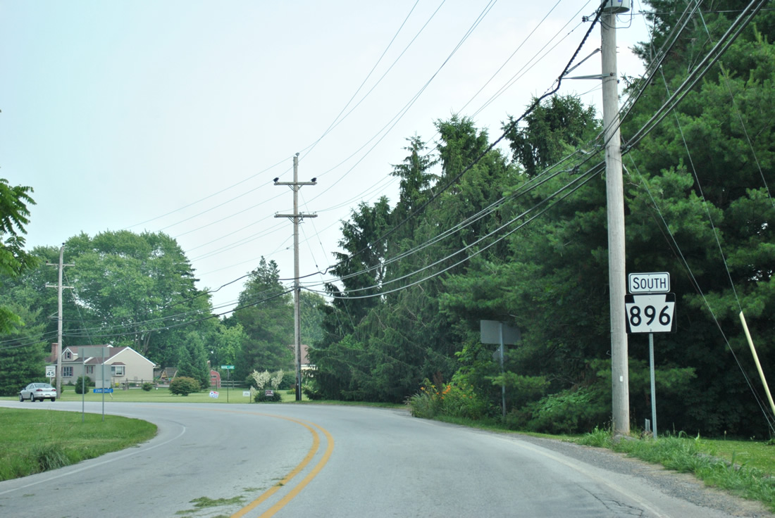
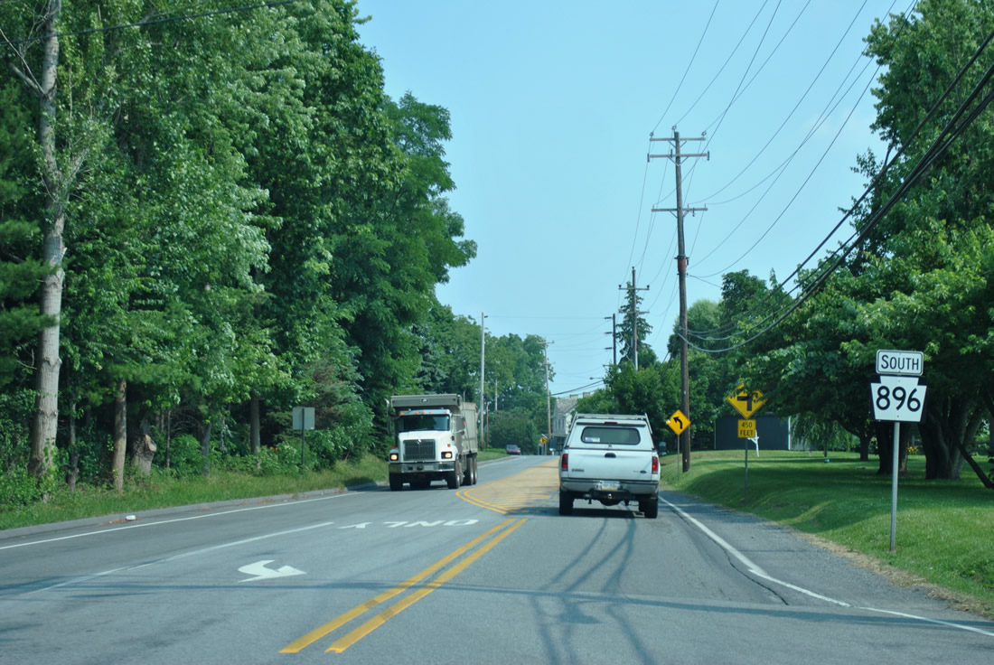
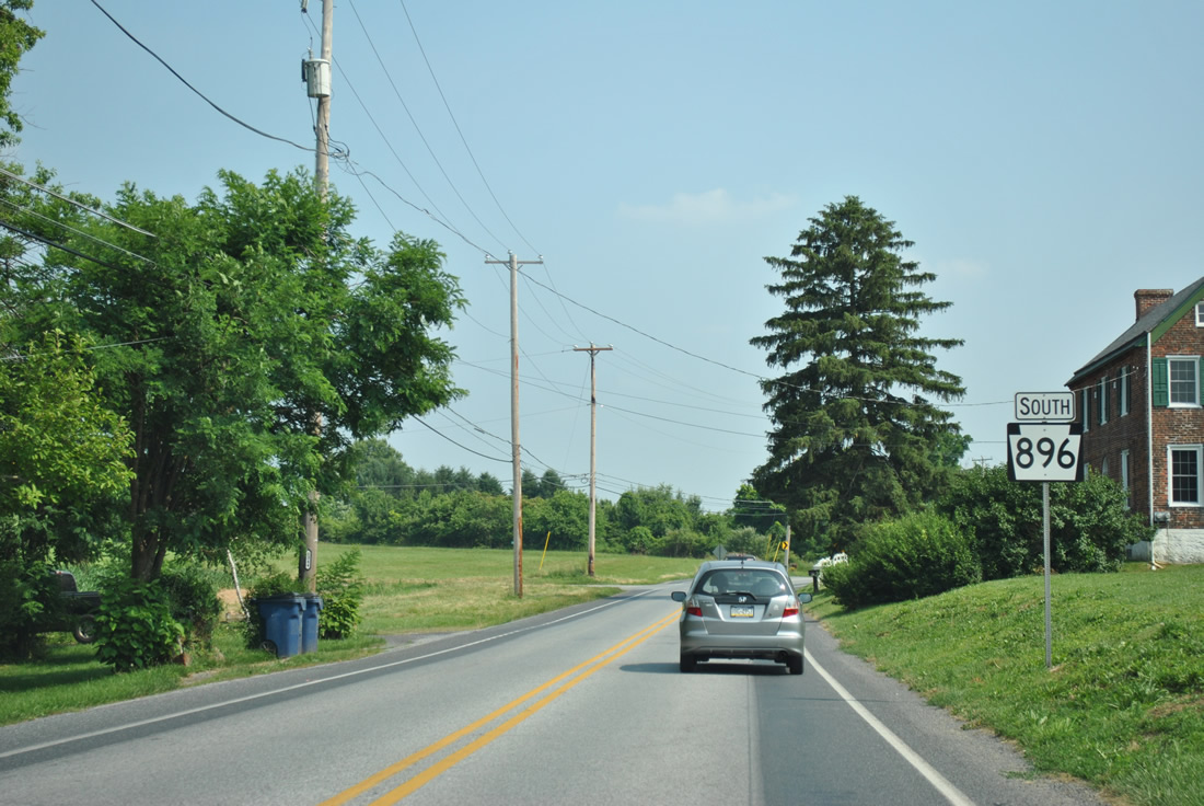
| The final reassurance marker posted for PA 896 south resides at Strickersville, after the intersection with Strickersville Road west to Lewisville. 06/21/12 |
|
| PA 896 south transitions to unsigned MD 896. MD 896 travels just 0.21 miles across the northeastern corner of Cecil County before entering New Castle County as SR 896. 06/21/12 |
Page Updated 05-15-2013.