|
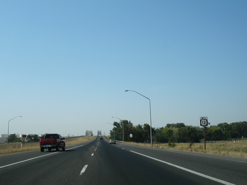
| U.S. 12 leaves the junction with SR 124 (Ice Harbor Drive) east and approaches the Snake River. 08/28/06 |
|
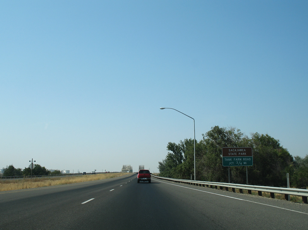
| An at-grade intersection with Tank Farm Road east and Sacajawea Park Road west lies just north of the steel truss bridges across the Snake River. 08/28/06 |
|
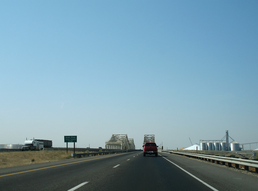
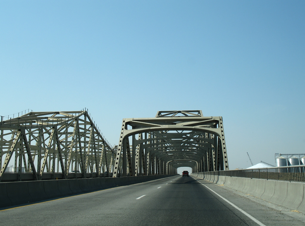
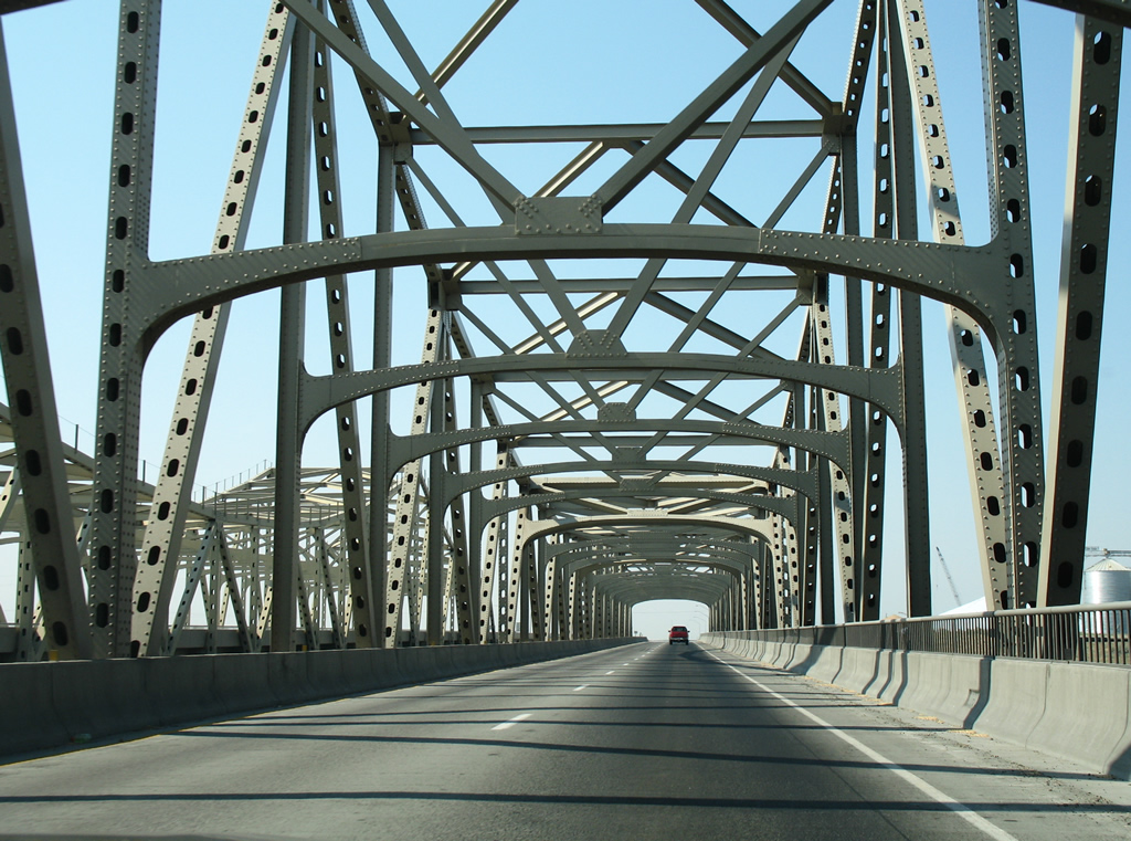
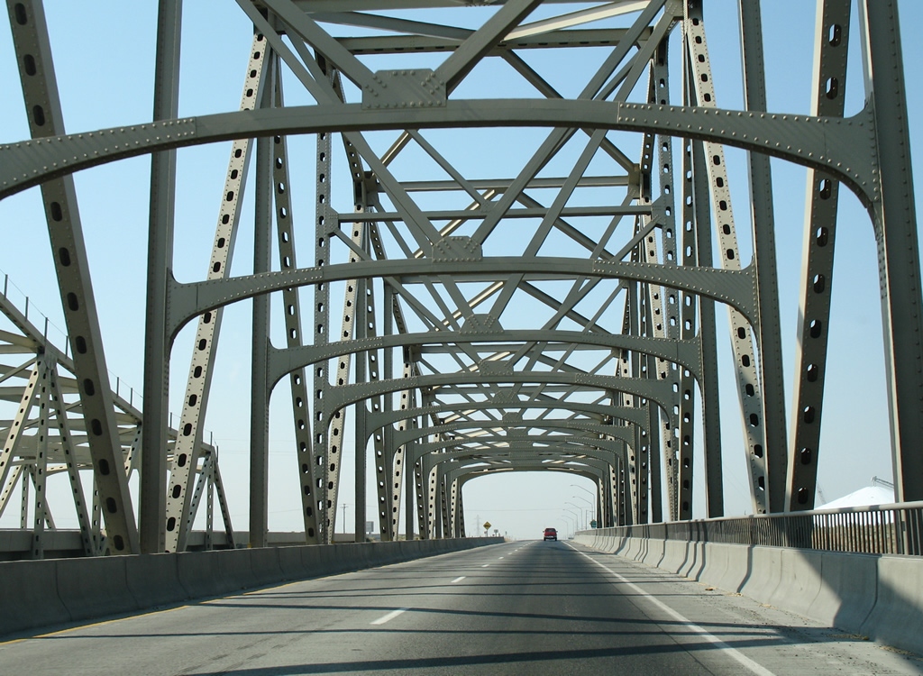
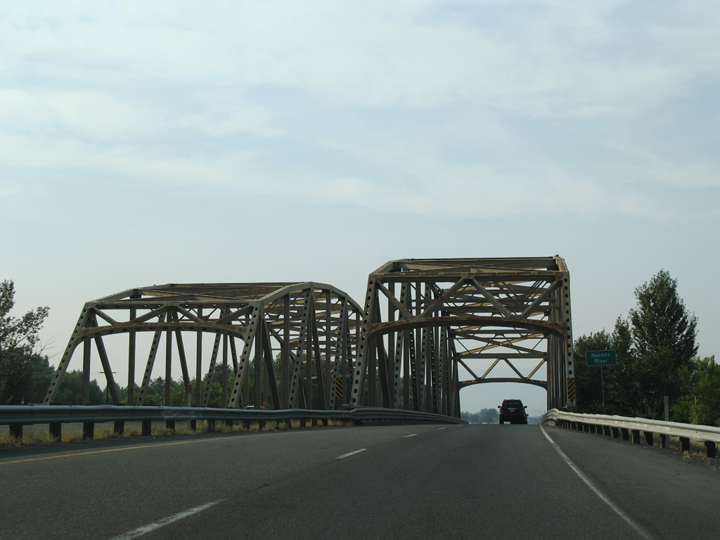
| The spans across the Snake River are formally named the Vaughn Hubbard Bridge. 08/28/06 |
|
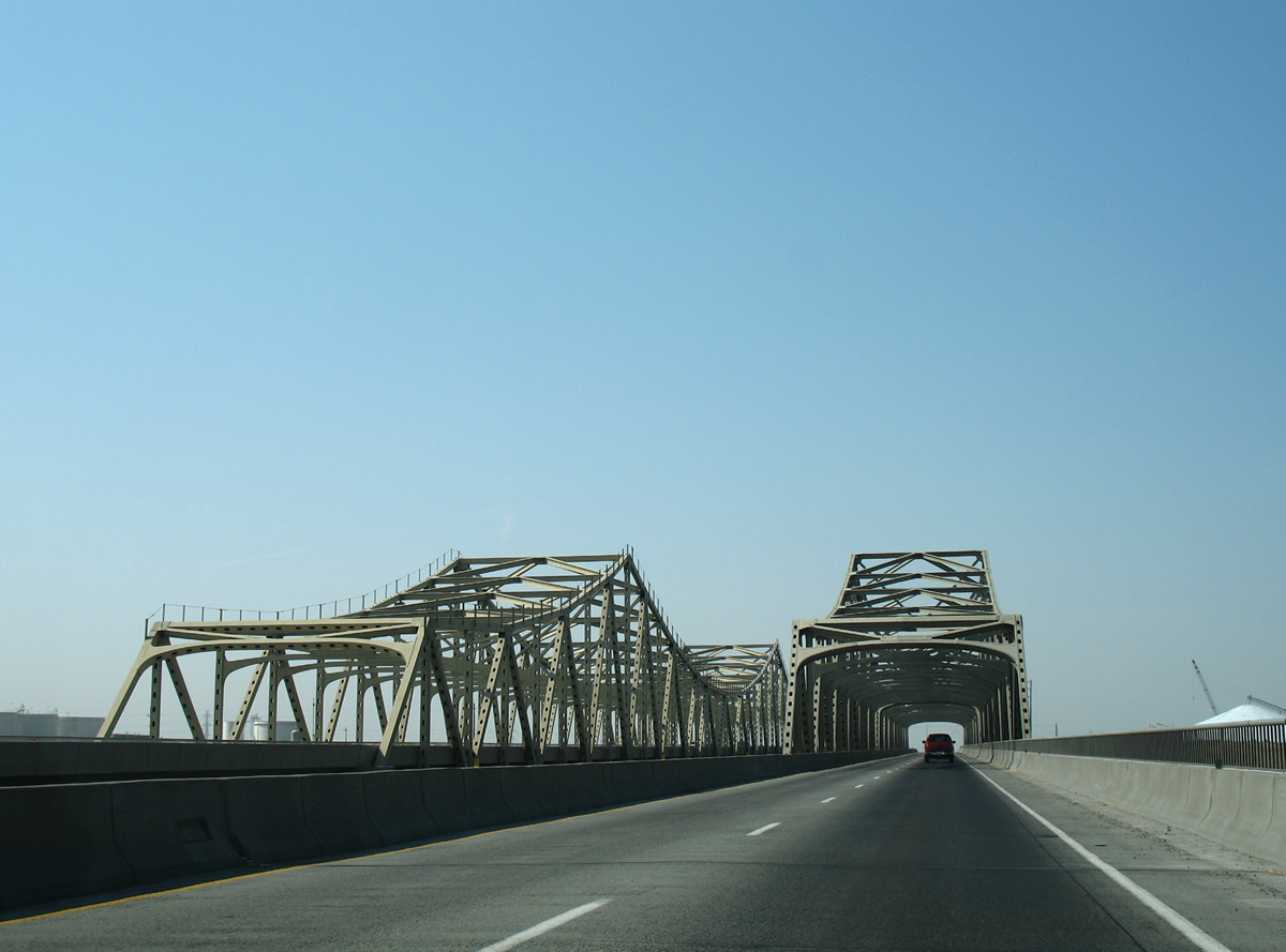
| Westbound U.S. 12 uses the original 1950 bridge built for U.S. 410 across the Snake River. A companion eastbound span was added in 1986 when U.S. 12 was widened. 08/28/06 |
|
| U.S. 12 enters both the city of Pasco and Franklin County beyond the Snake River bridge. Pasco incorporated September 3, 1891 and has a population of 59,781 per the 2010 census. 08/28/06 |
|
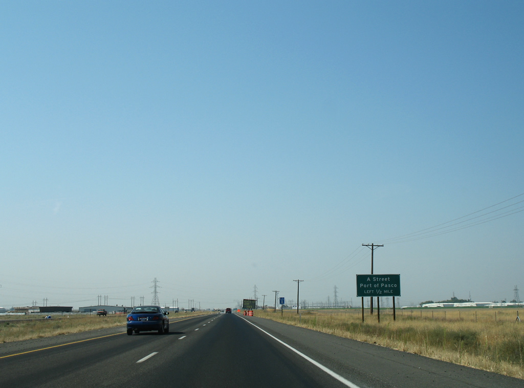
| Tank Farm Road spurs east to industrial areas along the Snake River. Sacajawea Park Road leads south to the Port of Pasco at Ainsworth Junction and two miles to Sacajawea State Park. A folded diamond interchange is planned to replace the at-grade intersection between these roads and nearby West A Street. 08/28/06 |
|
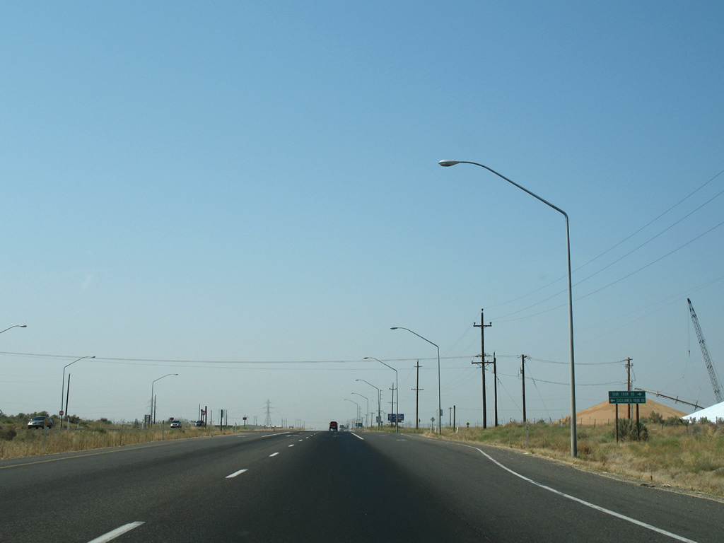
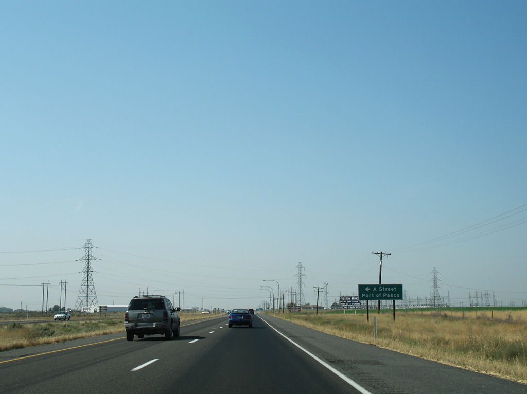
| The final at-grade intersection along the U.S. 12 expressway joins the route with East A Street west to SR 397 (Oregon Avenue) near the Port of Pasco. 08/28/06 |
|
| Westbound U.S. 12 at East A Street. This intersection will be eliminated when the new interchange with Tank Farm Road is completed. Local access roads will be built both north and south of U.S. 12 to connect with A Street and Commercial Avenue. 08/28/06 |
|
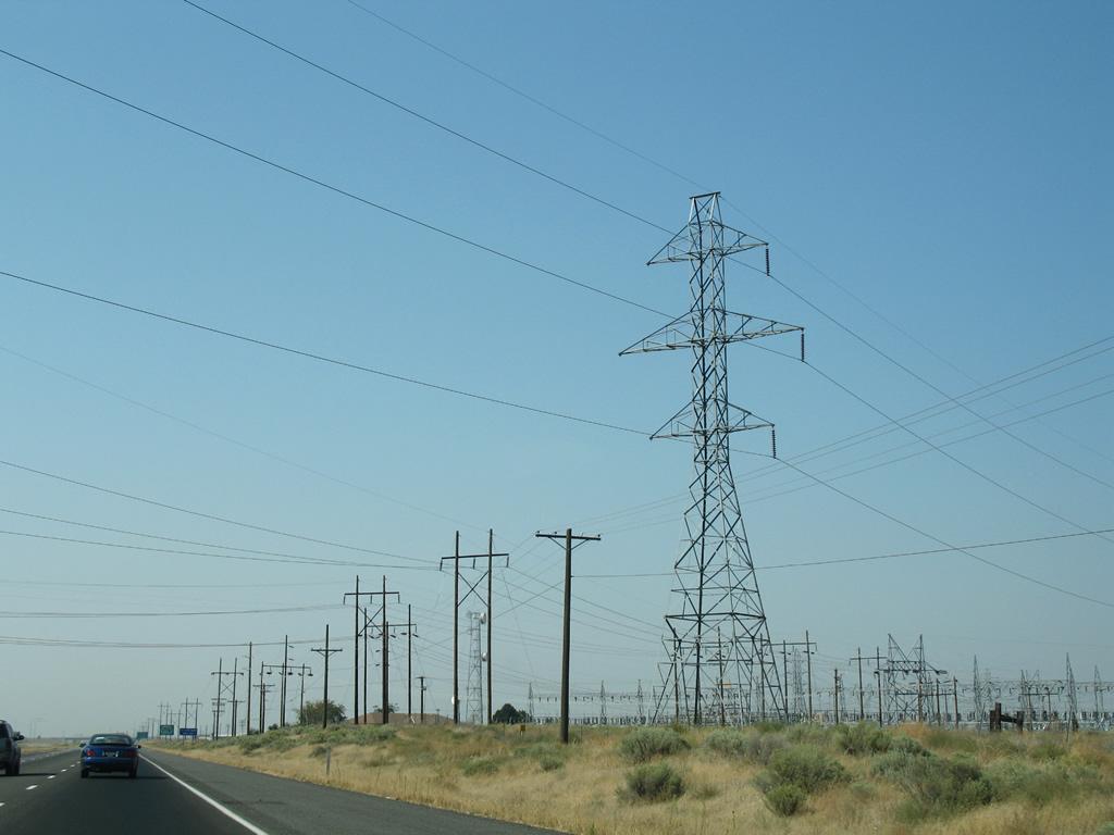
| U.S. 12 upgrades to a freeway and passes by the Franklin Substation beyond East A Street. 08/28/06 |
|
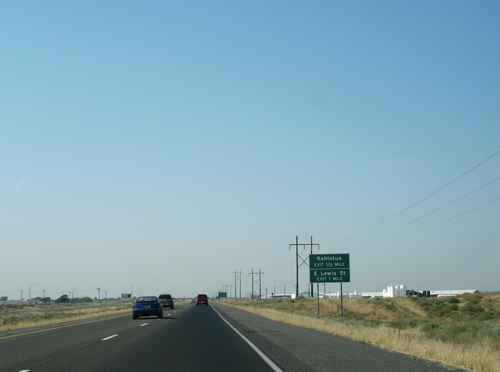
| A six-ramp parclo interchange joins U.S. 12 with East Lewis Street and Pasco-Kahlotus Road in one mile. 08/28/06 |
|
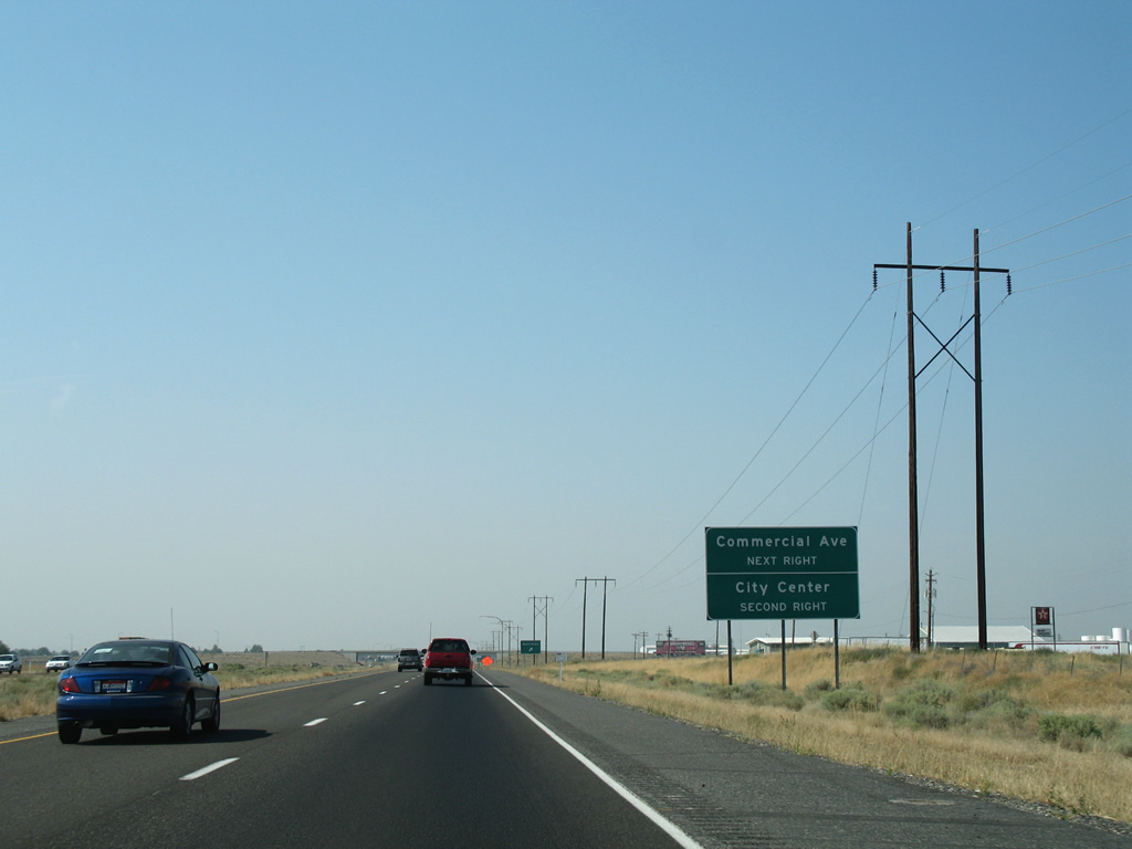
| The first right connects with Pasco-Kahlotus Road east; Commercial Avenue, a parallel frontage road, ties in nearby from industrial park areas north to U.S. 395 at Kartchner Street. 08/28/06 |
|
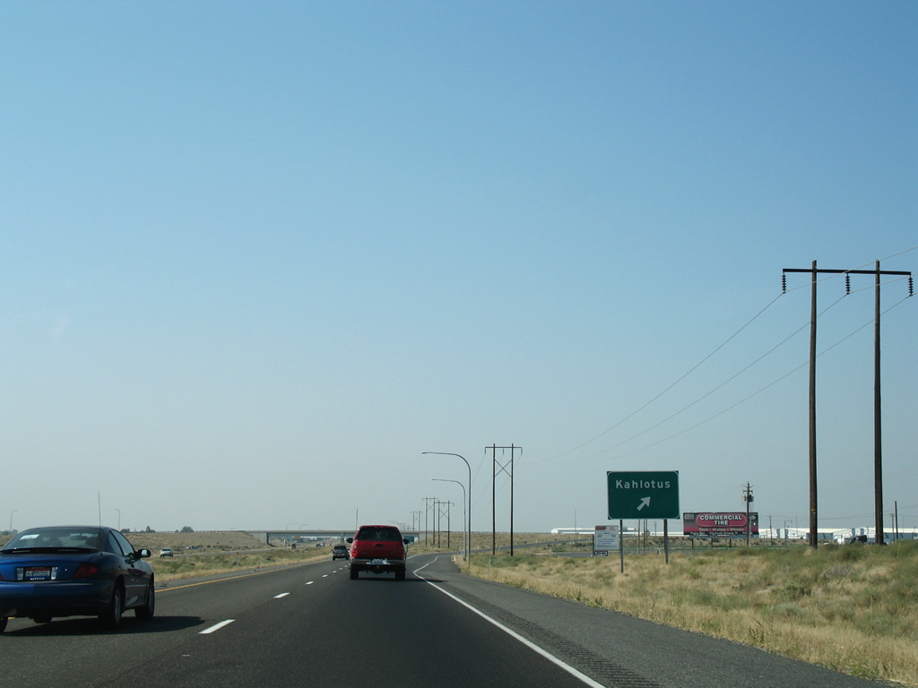
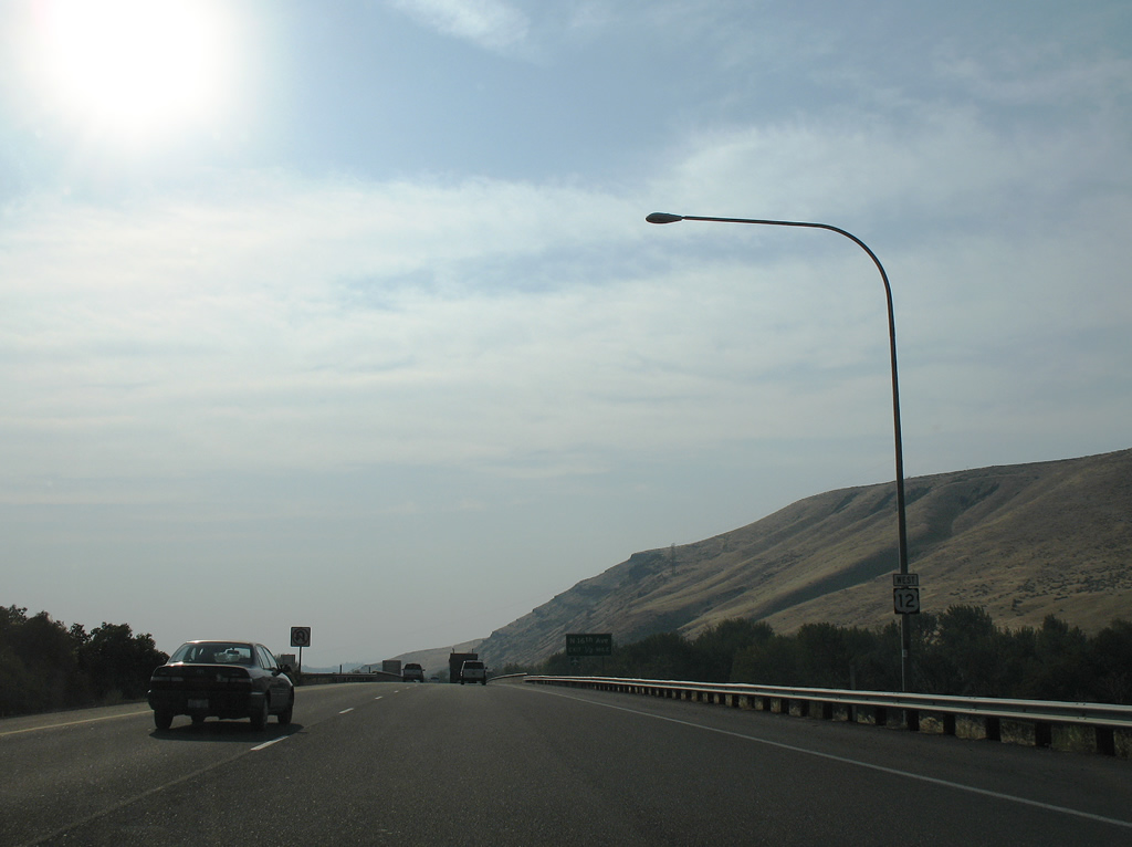
| Pasco-Kahlotus Road winds 41 miles northeastward from U.S. 12 to Kahlotus and the junction of SR 260 and 263. 08/28/06 |
|
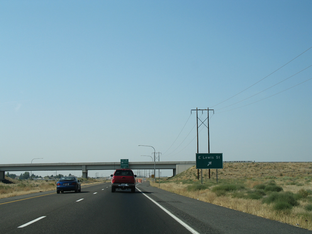
| A loop ramp follows onto East Lewis Street to the Pasco city center. Lewis Street was relocated to meet U.S. 12 at this interchange. The original alignment (Lewis Place) and Lewis Street west from Heritage Boulevard represents the historical alignment of U.S. 410 and later U.S. 12 west. 08/28/06 |
|
| Ramps from Interstate 82, U.S. 97 and North 1st Street (former U.S. 97 and Business Loop I-8) come together as the U.S. 12 freeway leads west along the Naches River. 08/28/06 |
|
| Spanning the Washington Central Railroad line and Gordon Road, one half mile east of the diamond interchange with North 16th Avenue in Yakima. 08/28/06 |
|
| Looking north at a pair of railroad truss bridges over the Naches River from the U.S. 12 freeway. The left bridge is for an abandoned railroad line, the right for the Washington Central Railroad. 08/28/06 |
|
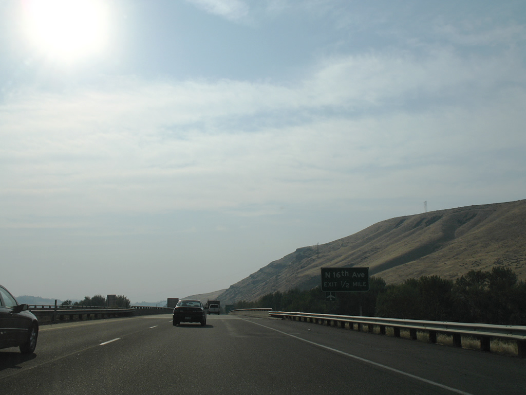
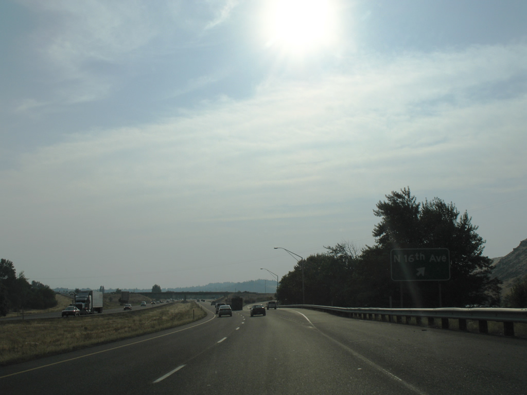
| North 16th Avenue begins from U.S. 12 and ventures south to Yakima Valley Community College and Yakima Air Terminal near Perry Technical Institute. The road south end ties into a 2009-completed four lane extension of Valley Mall Boulevard. 08/28/06 |
|
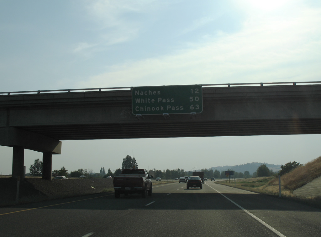
| Westbound distance sign attached to the 16th Avenue overpass listing the distances to Naches (four miles east of the split with SR 410), White Pass (U.S. 12 over the Cascades) and Chinook Pass (SR 410 over the Cascades). 08/28/06 |
|
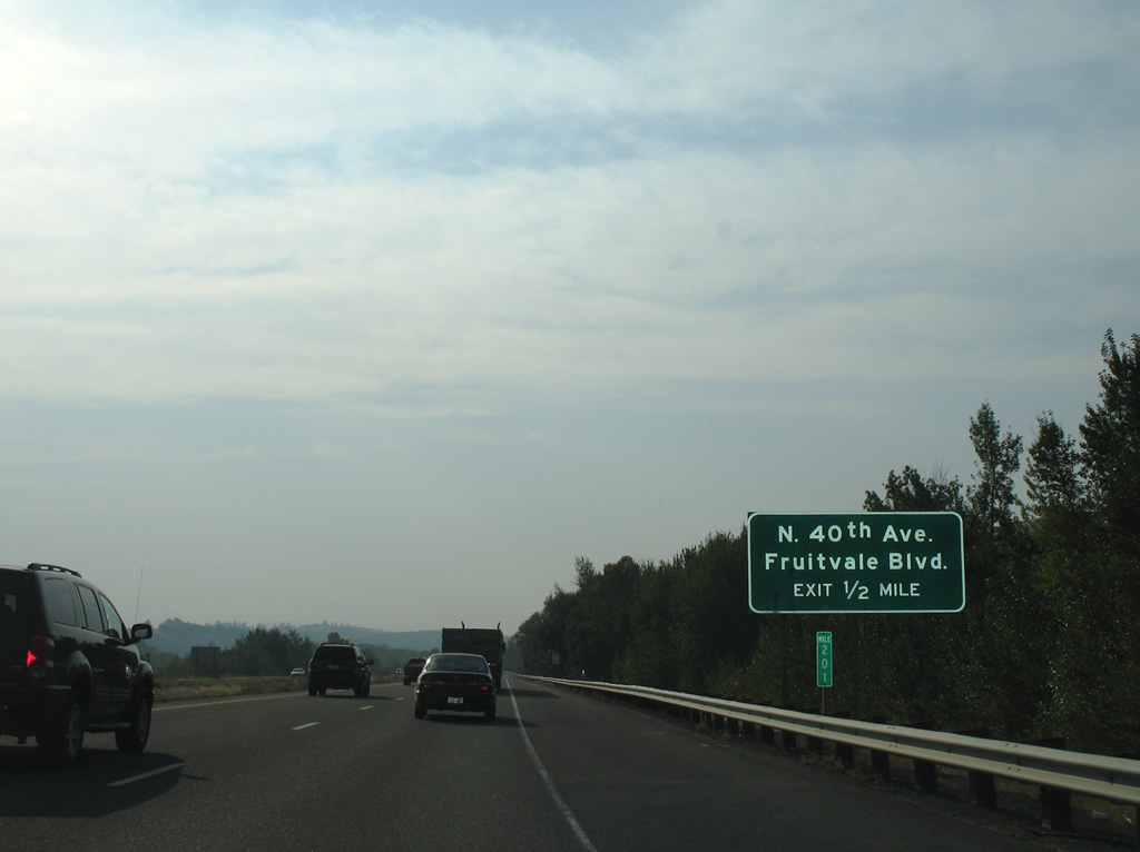
| A wye interchange follows with North 40th Avenue south from U.S. 12 west. 40th Avenue leads south to Washington Avenue near Yakima Air Terminal (YKM). Fruitvale Boulevard ties into 40th Avenue and the U.S. 12 freeway from the adjacent on-ramp. 08/28/06 |
|
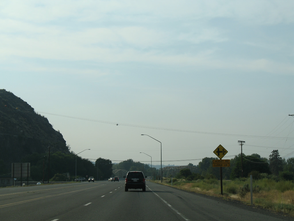
| The U.S. 12 freeway ends and an expressway commences at the at-grade intersection with Ackley Road south to Powerhouse Road and Clover Lane north to an adjacent farm. 08/28/06 |
|
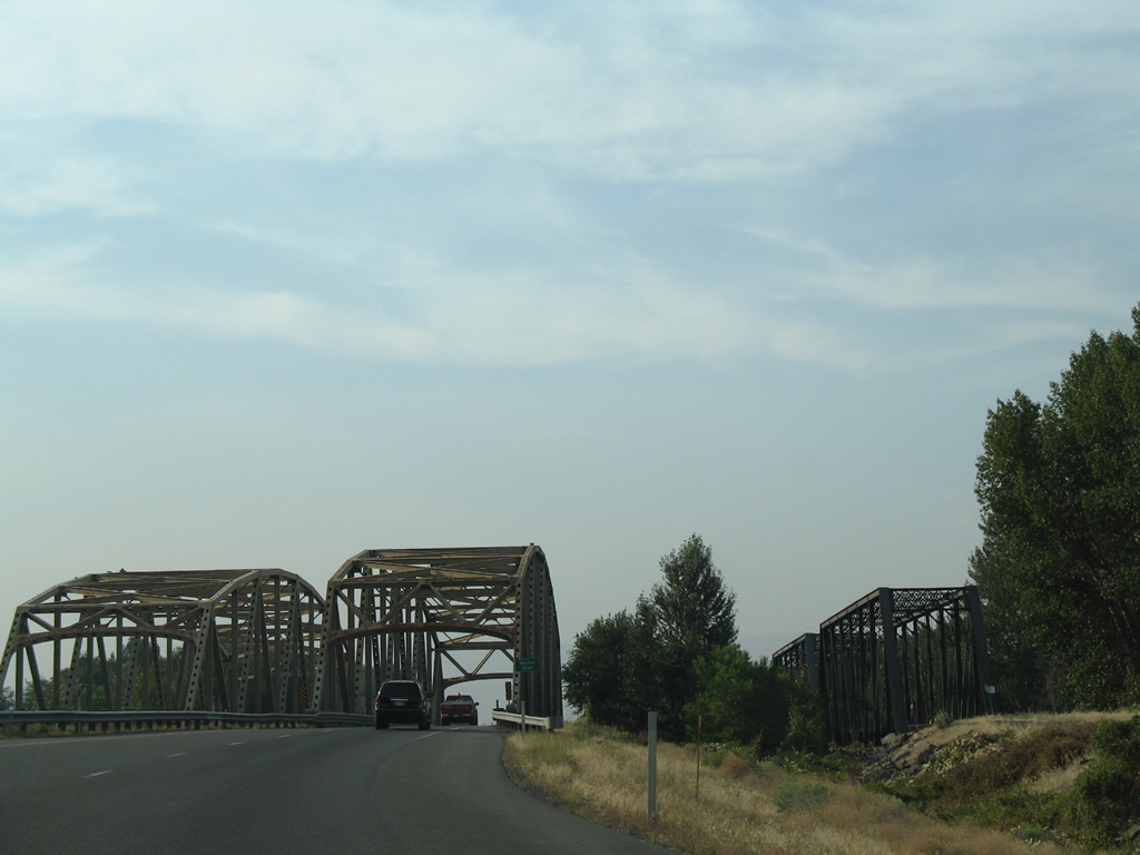
| A truss bridge for Powerhouse Road (old U.S. 410) rose to the west of U.S. 12. Powerhouse Road was realigned to parallel the eastbound lanes on a new nondescript bridge in 2008. The original span was demolished. 08/28/06 |
|
| An 1884-built truss bridge parallels the westbound lanes of U.S. 12 over the Naches River. This span is part of an abandoned railroad line incorporated within theYakima Greenway. 08/28/06 |
|
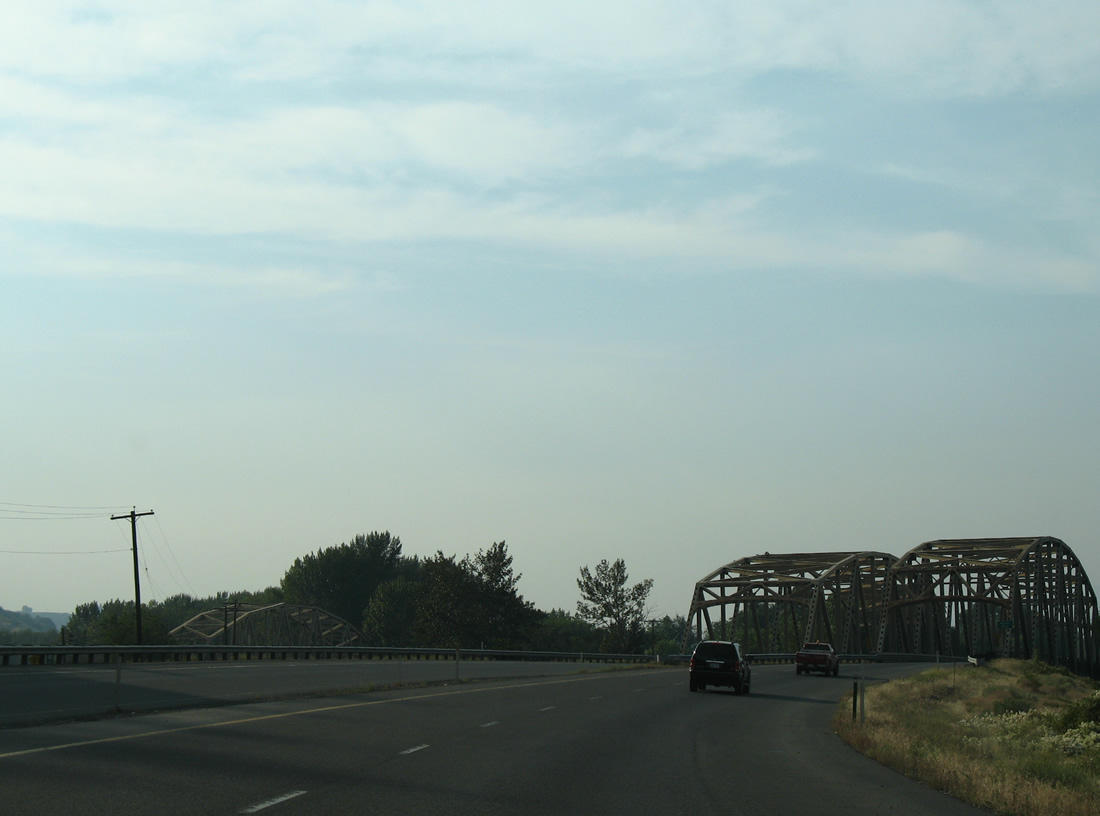
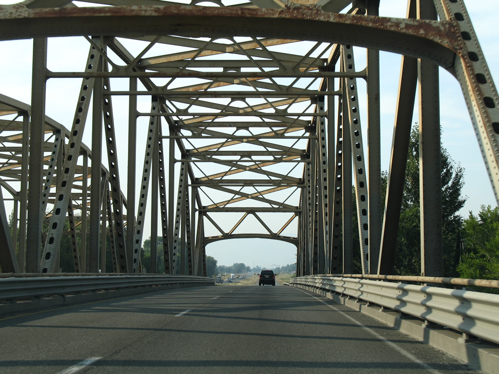
| Steel truss bridges carry U.S. 12 motorists across the Naches River. These spans were built originally for U.S. 410. The westbound span was completed in 1958, the eastbound in 1966, one year before U.S. 12 overtook the 410 designation. 08/28/06 |
|
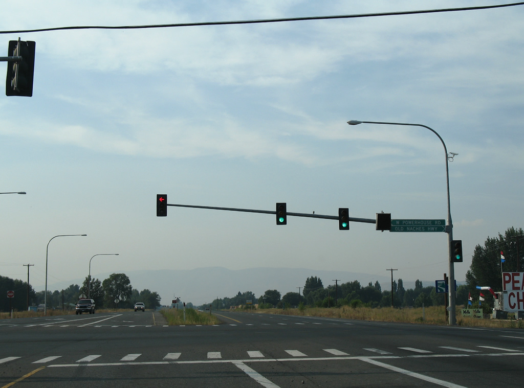
| A traffic light lies beyond the Naches River with Powerhouse Road south and Old Naches Highway north. These roads comprises the original alignment of U.S. 410. 08/28/06 |
Page Updated 10-13-2011.

 west - Tri-Cities