
 South
South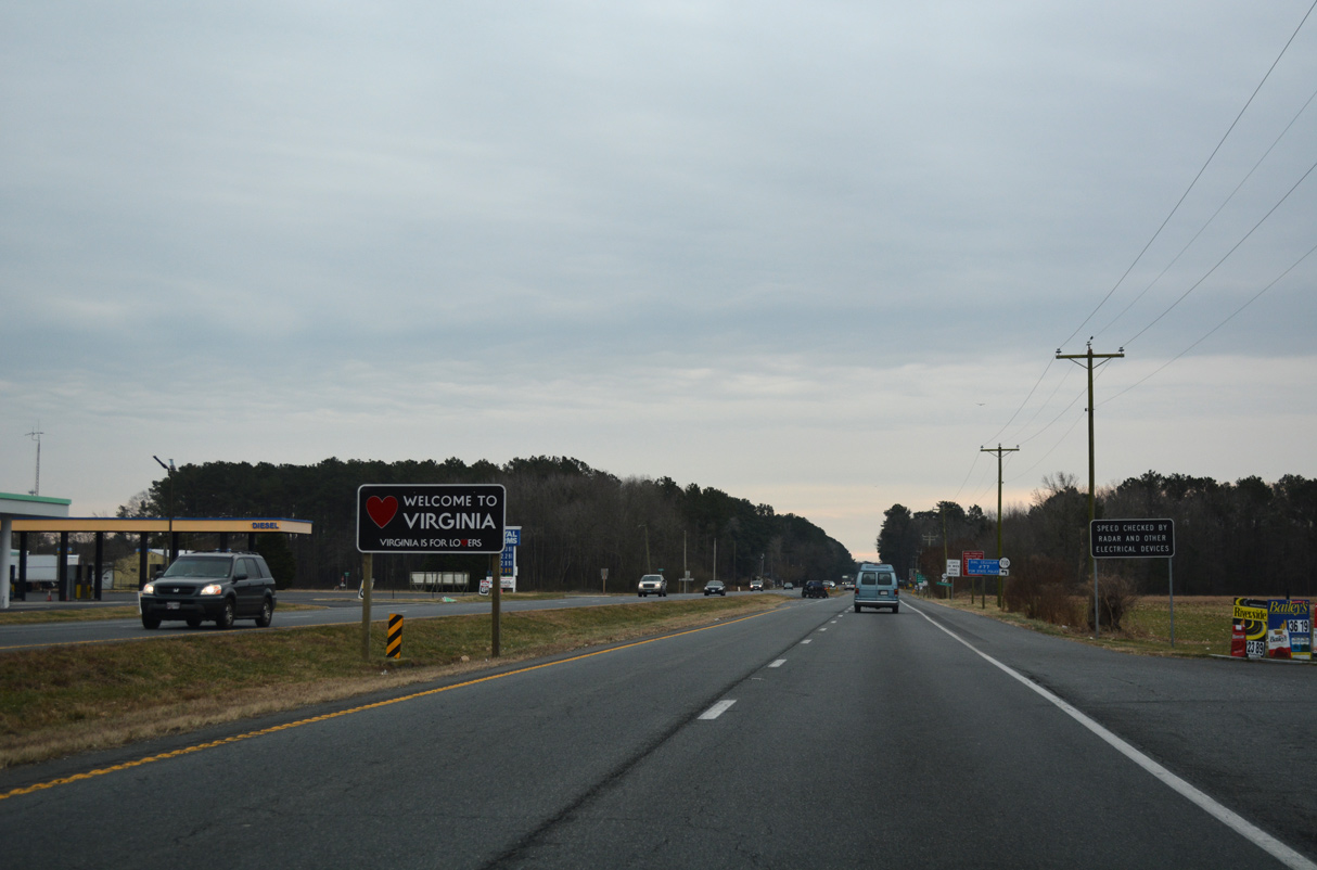
The Virginia welcome sign stands between the state line and SR 710 (Davis Road) south.
12/30/17
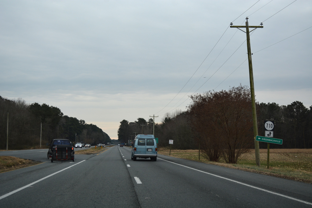
SR 710 comprises a rural loop east from U.S. 13 along Davis Road connecting with SR 712 (Sign Post Road) east toward Captains Cove and Greenbackville along Chincoteague Bay.
12/30/17
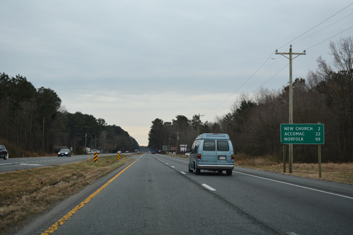
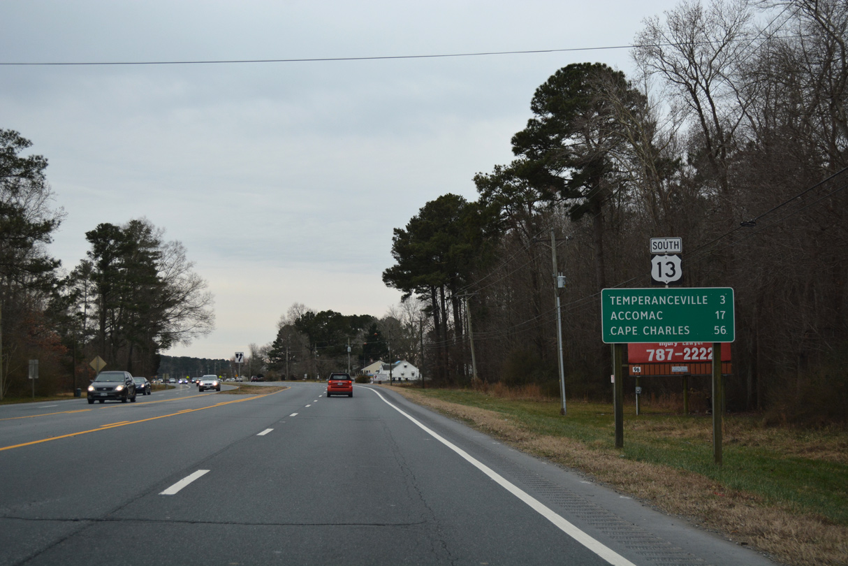
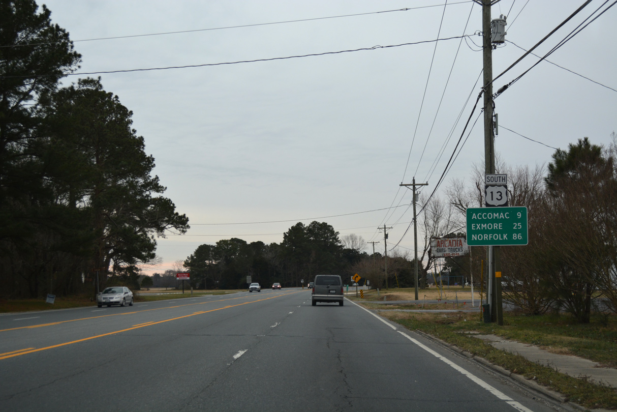
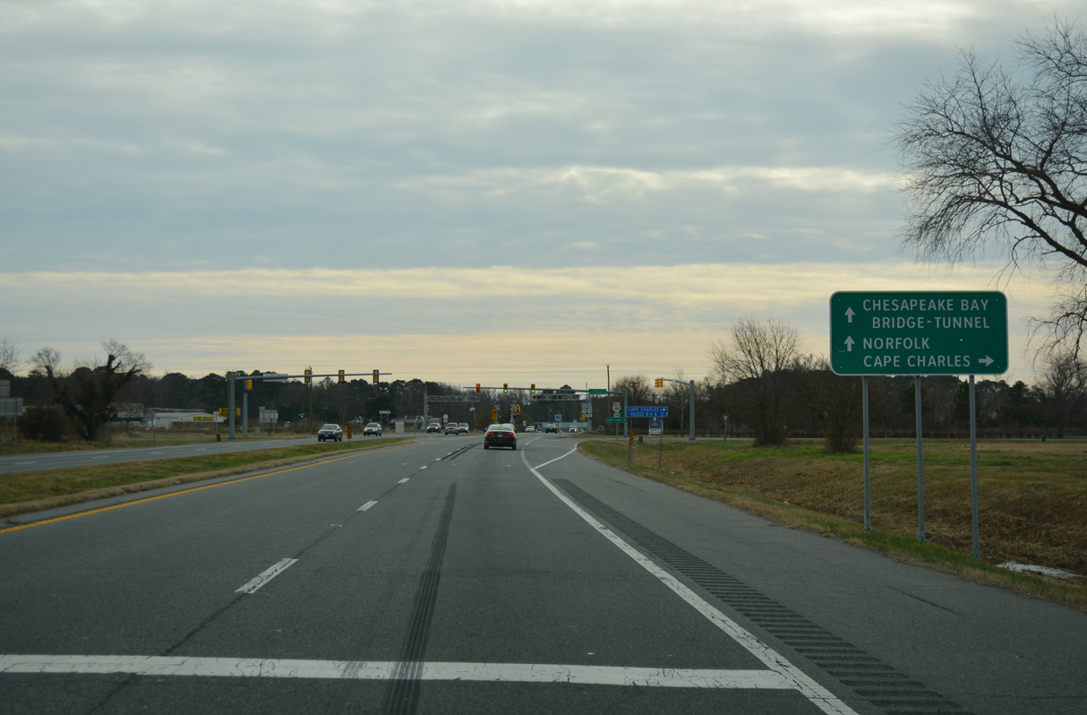
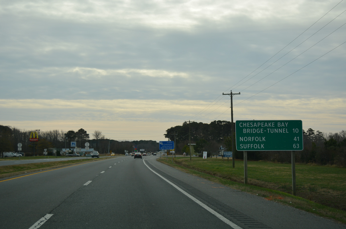
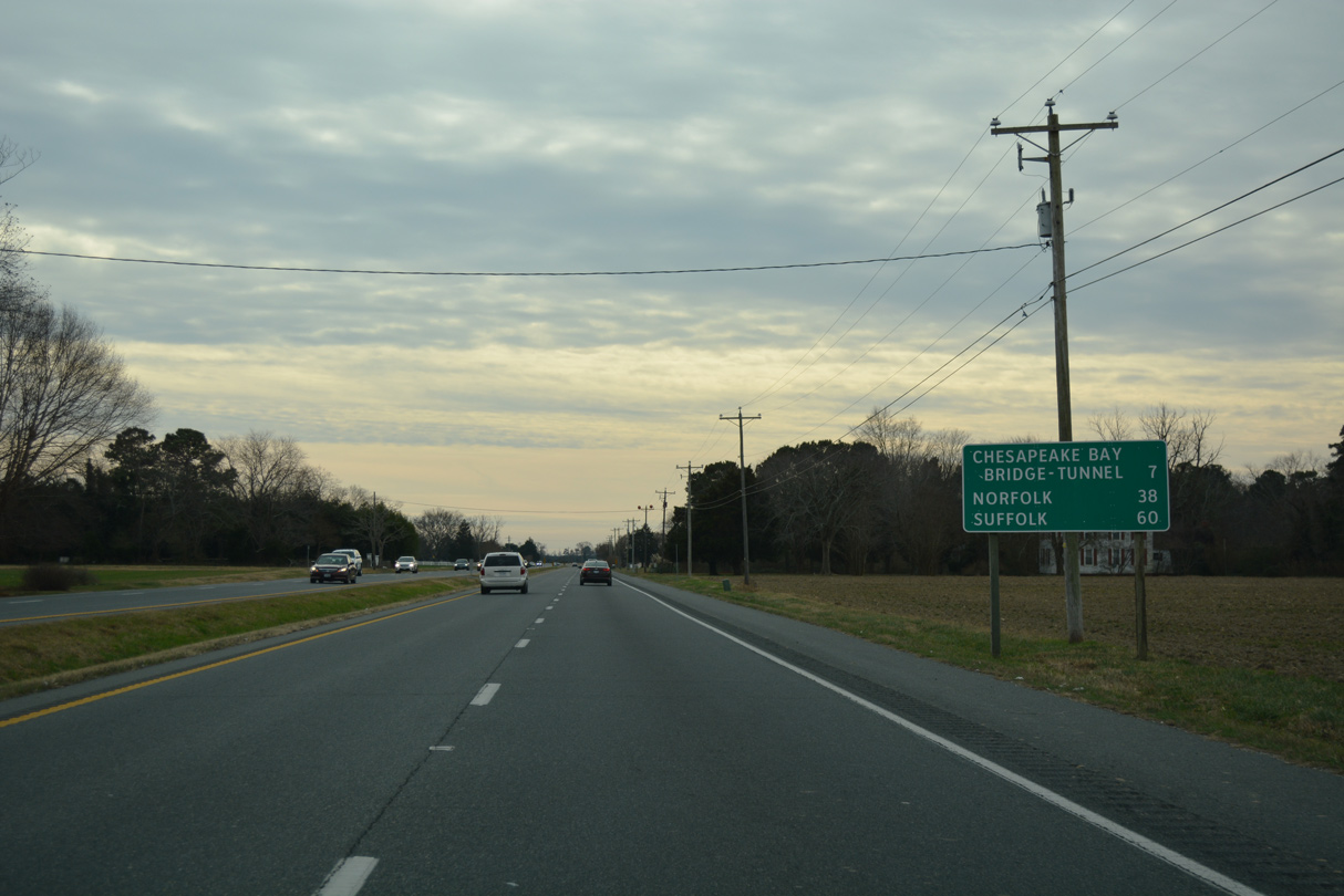
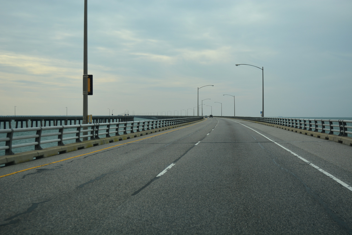
Norfolk lies 99 miles south of the Maryland border.
12/30/17
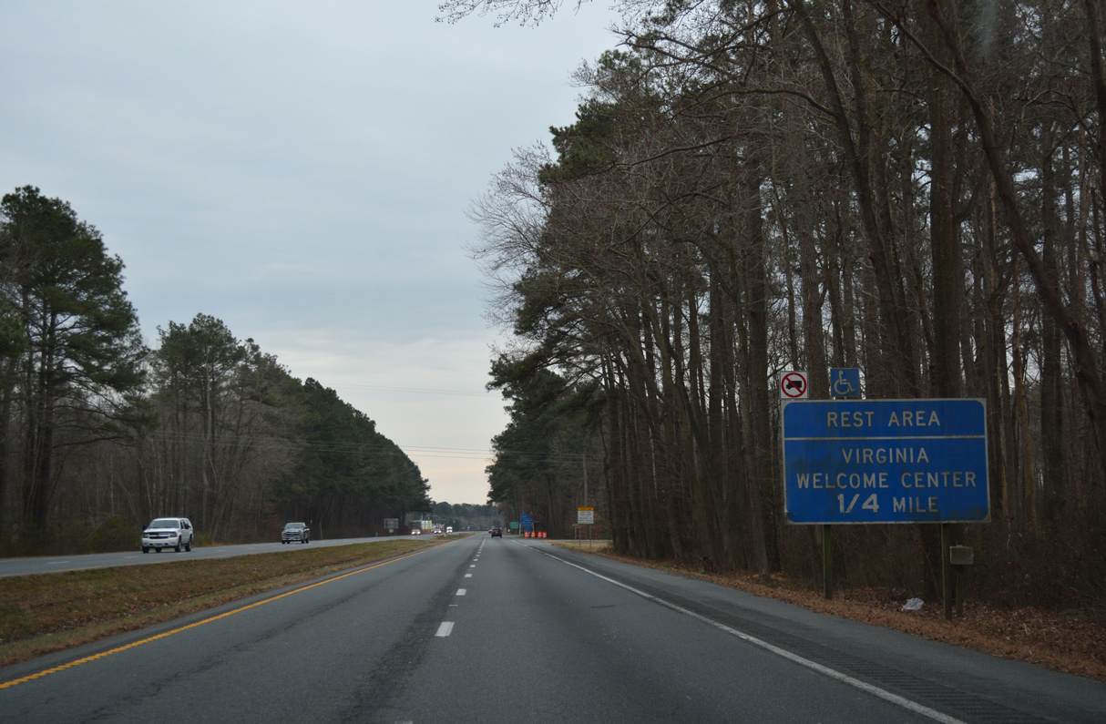
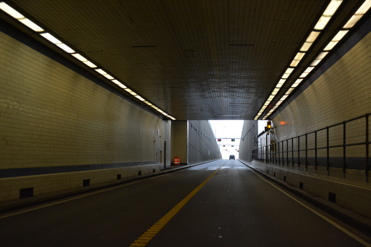
The New Church Safety Rest Area along U.S. 13 southbound houses a Virginia Welcome Center.
12/30/17
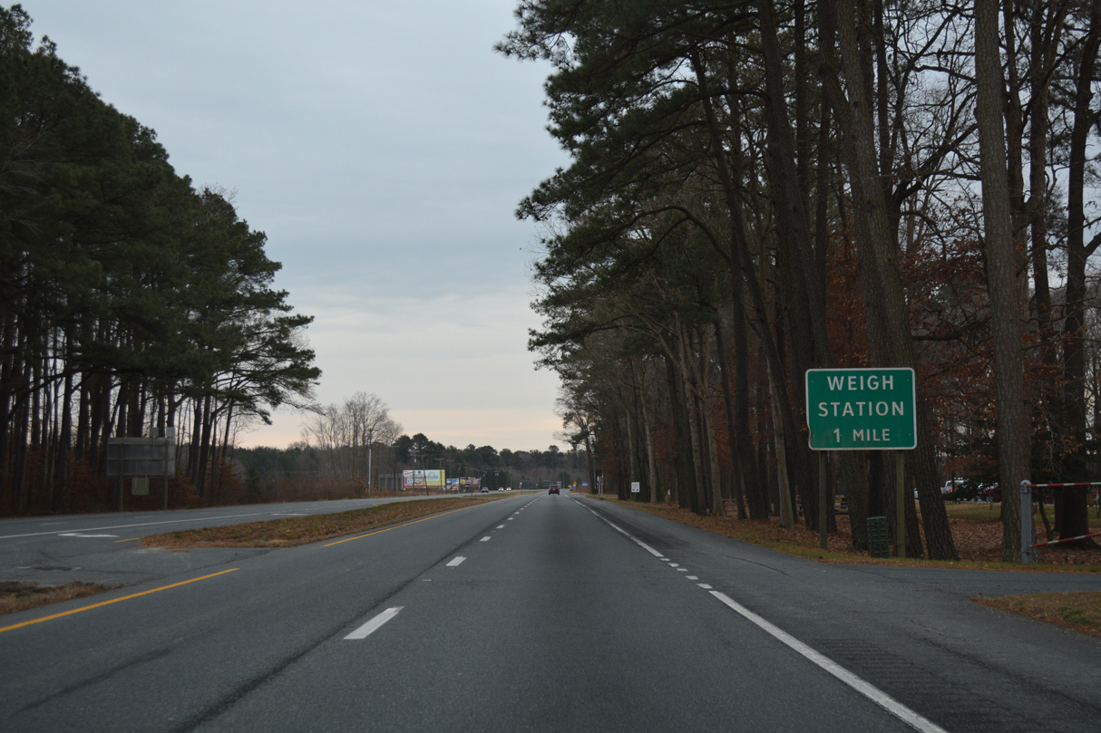
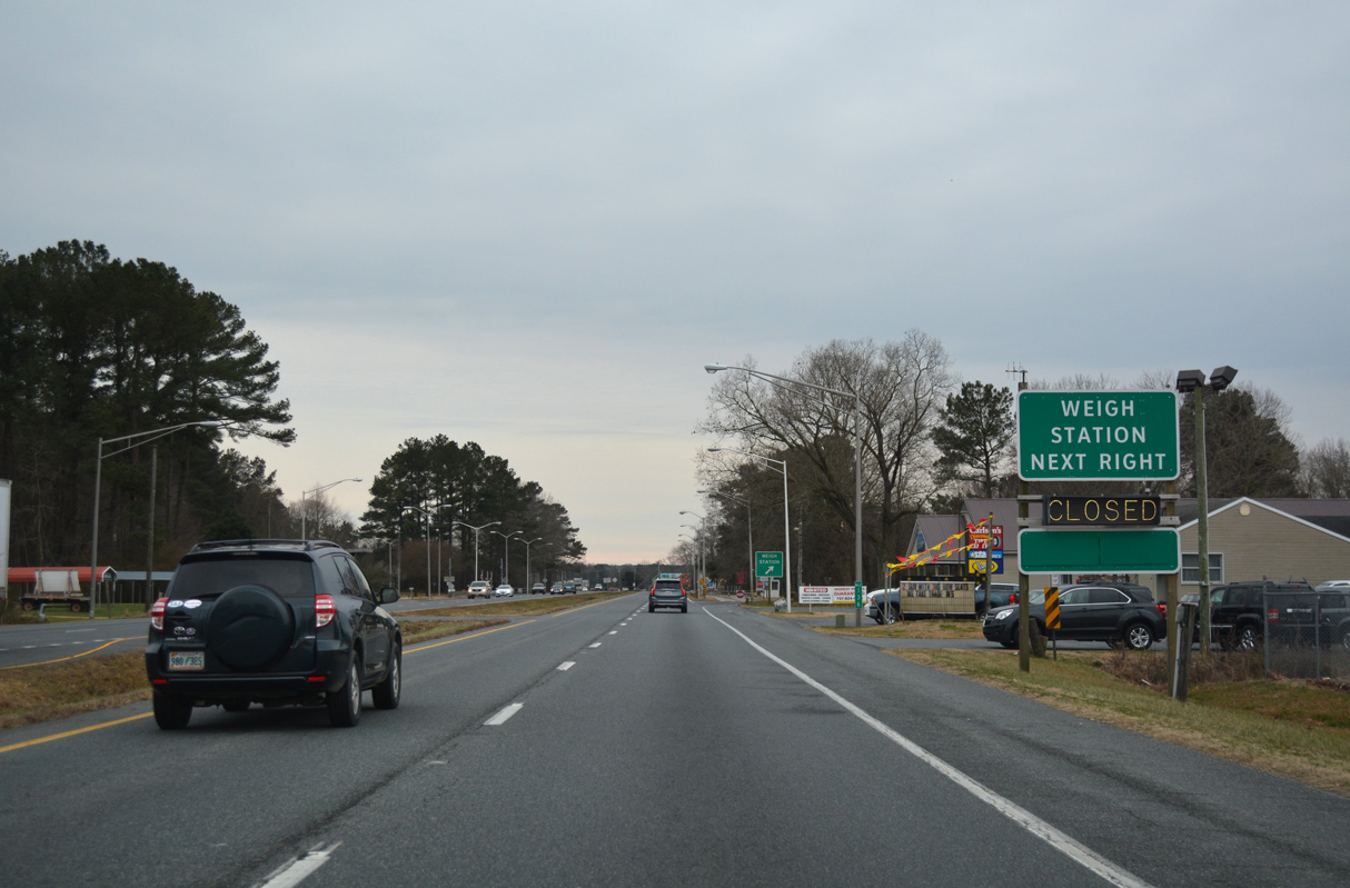
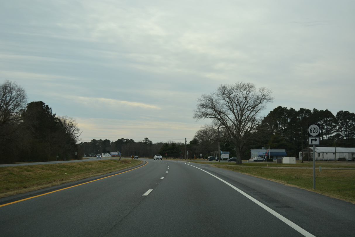
Weigh stations are located one mile south of the New Church Safety Rest Area along both sides of U.S. 13 (Lankford Highway).
12/30/17
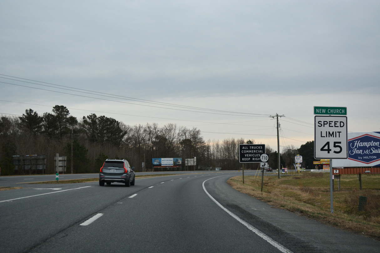
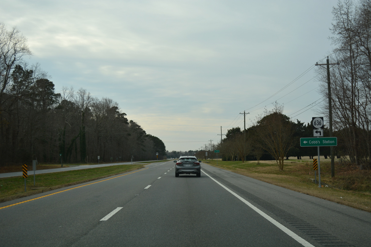
SR 710 returns to U.S. 13 from Davis Road south at New Church.
12/30/17
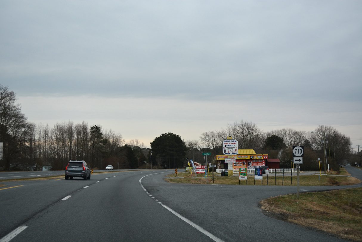
SR 710 resumes along the west side of U.S. 13 on Nelson Road through New Church.
12/30/17
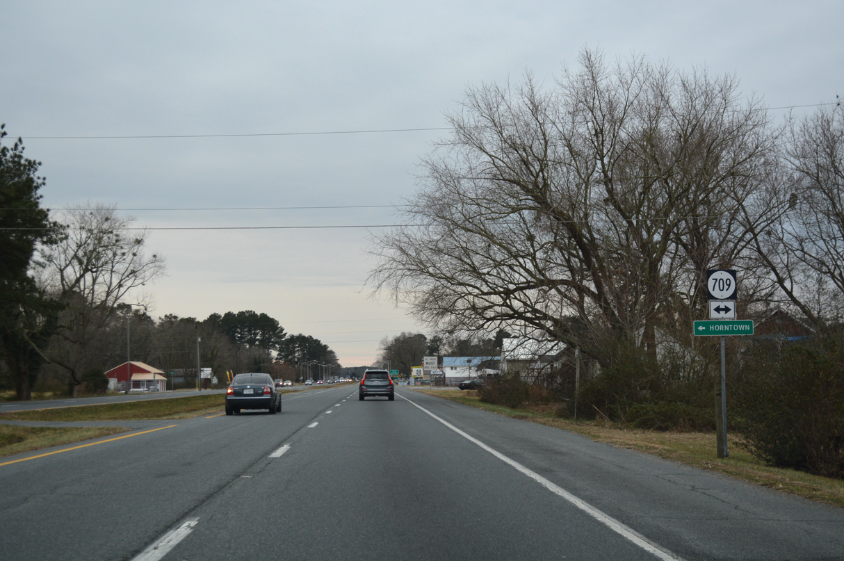
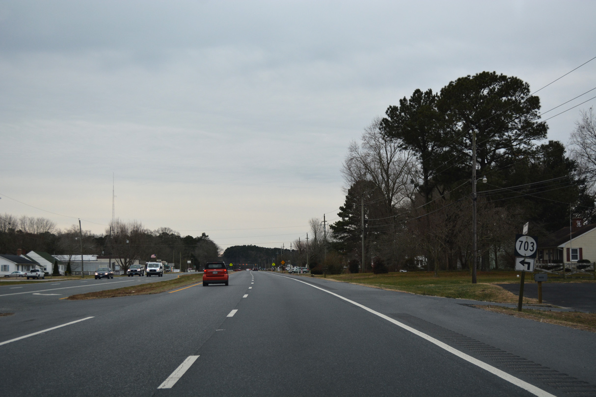
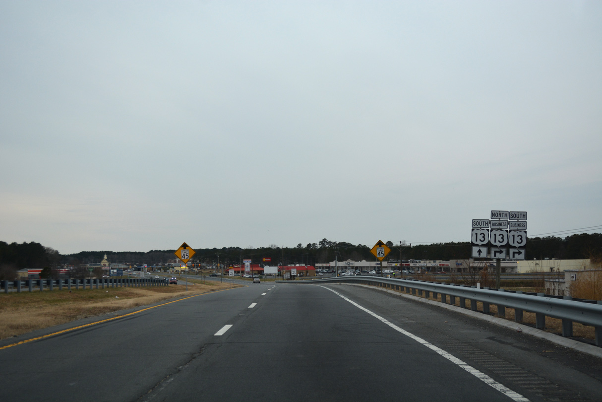
SR 709 (Horntown Road) runs 3.99 miles east from U.S. 13 at New Church to SR 679 (Fleming Road) at Horntown.
12/30/17
12/30/17

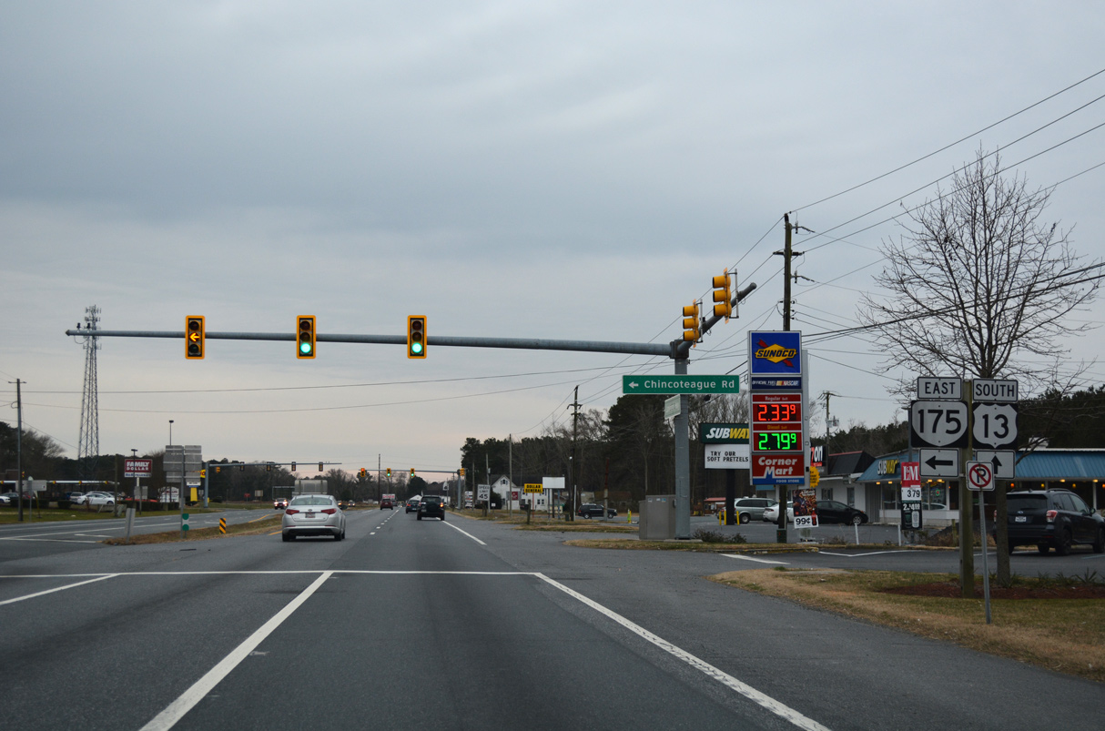
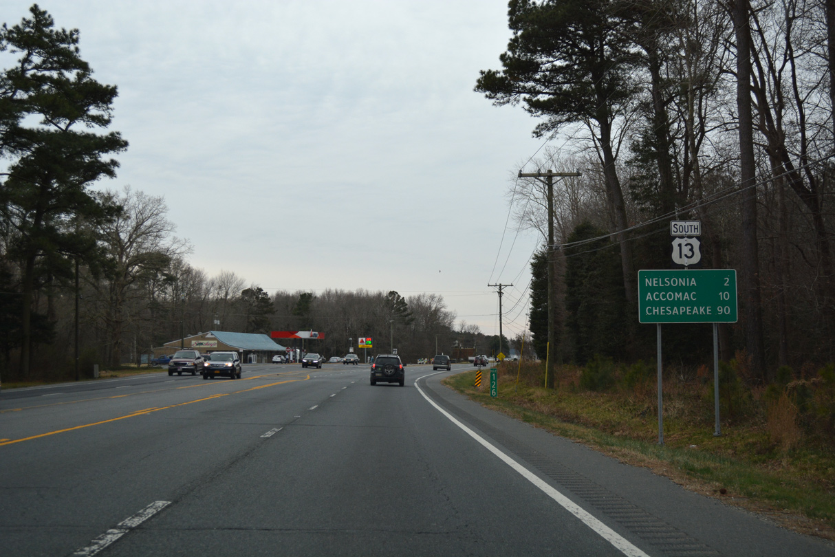
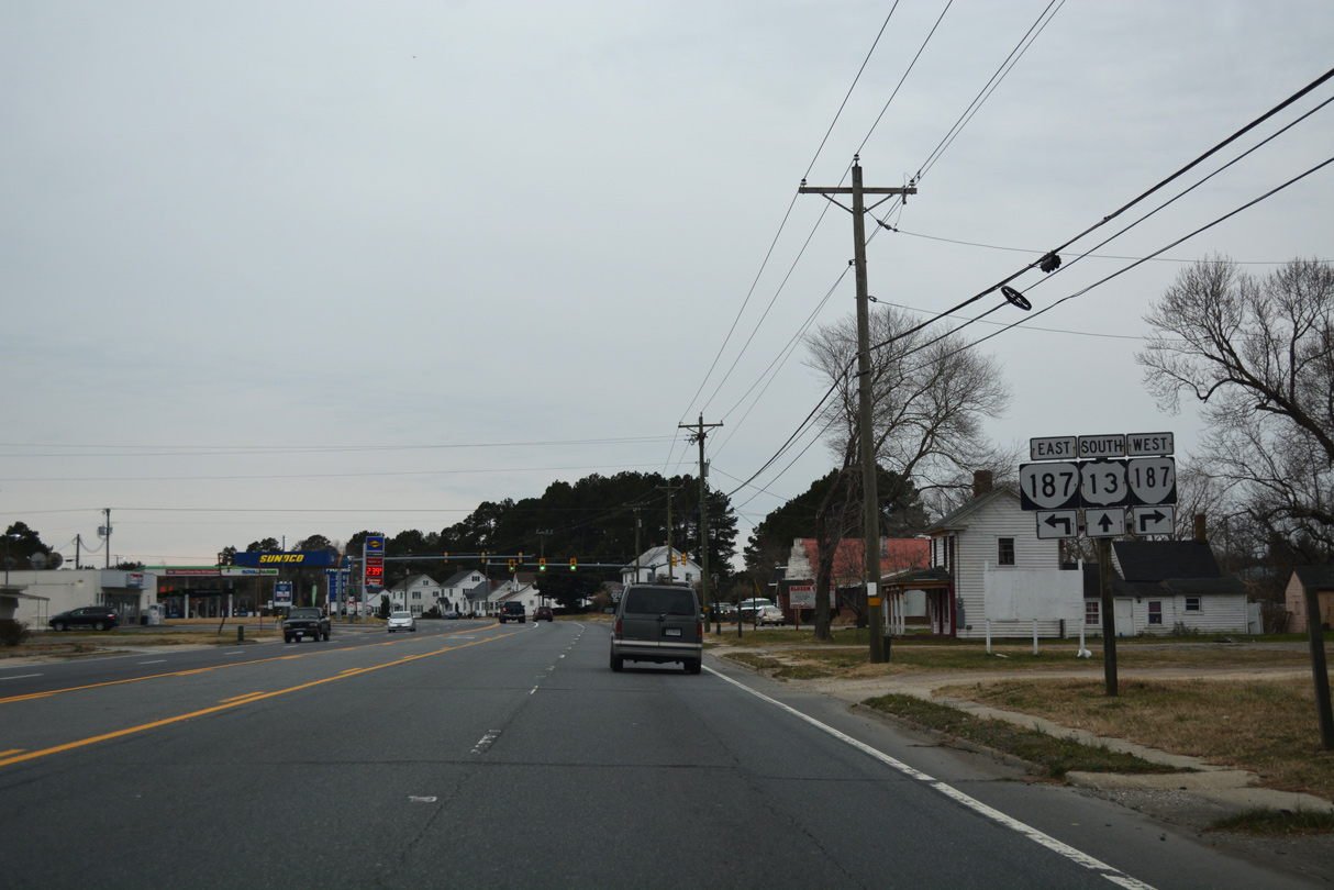
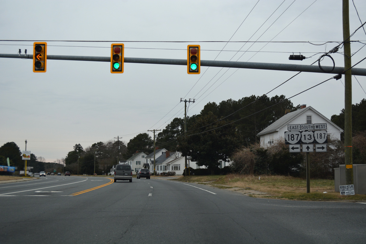
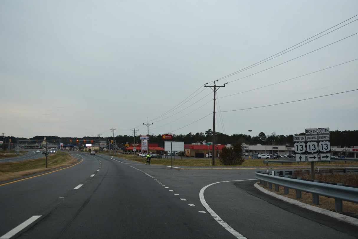
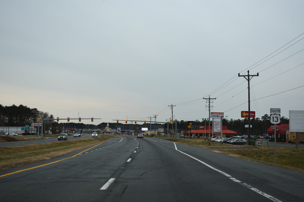
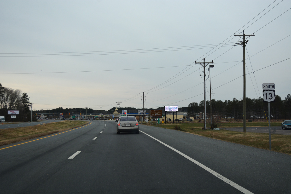
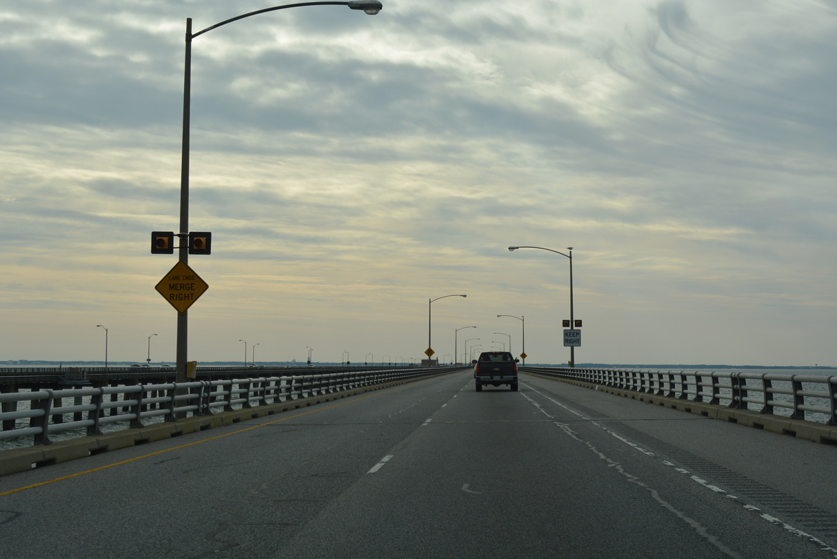
U.S. 13 (Lankford Highway) advances south to Nash Corner, where SR 175 stems east to Chincoteague.
12/30/17

SR 175 (Chincoteague Road) east to Wattsville and SR 798 (Atlantic Road) leads to the NASA Wallops Flight Facility.
12/30/17

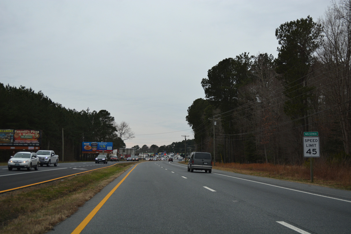
State Route 175 (Chincoteague Road) extends 10.83 miles to Chincoteague Island.
12/30/17

12/30/17
12/30/17
12/30/17
12/30/17
12/30/17
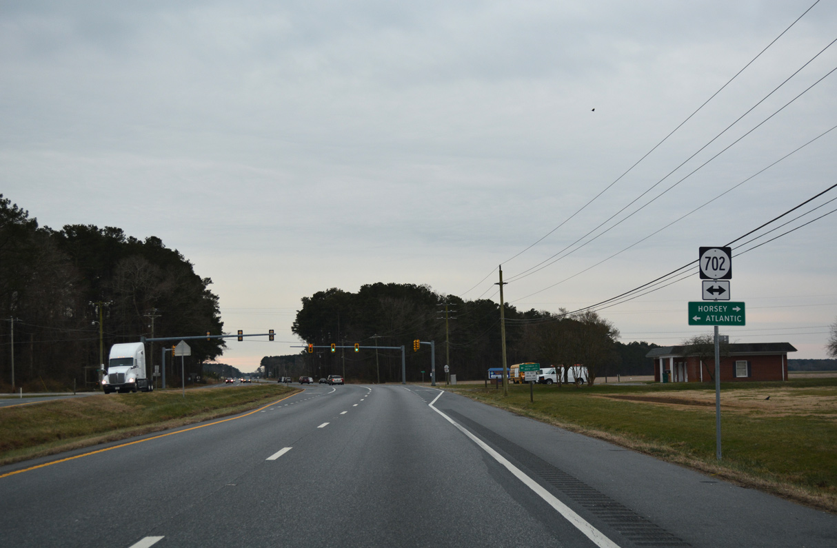
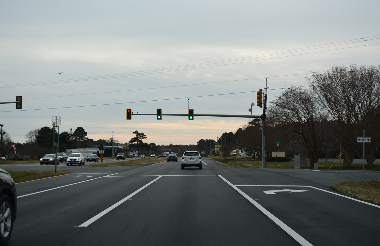
SR 702 connects U.S. 13 with Horsey just to the west and with Atlantic 3.00 miles to the southeast.
12/30/17
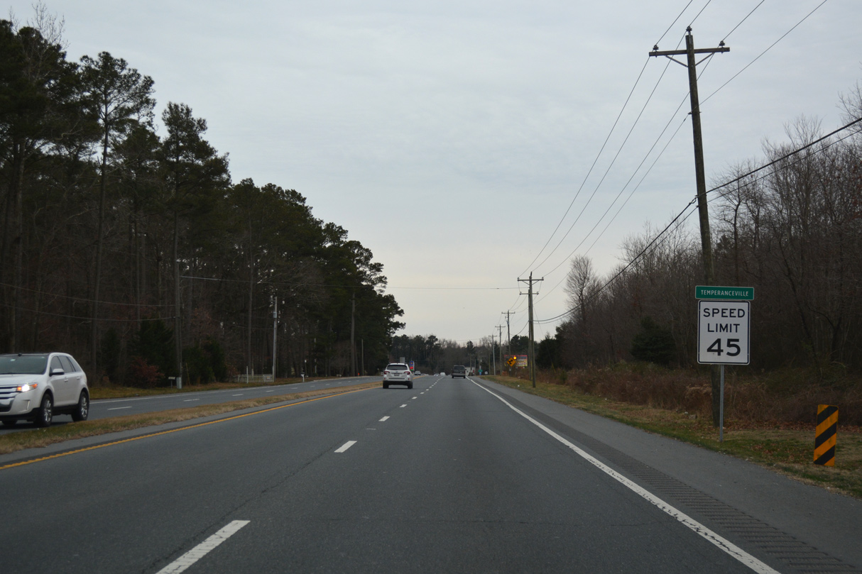
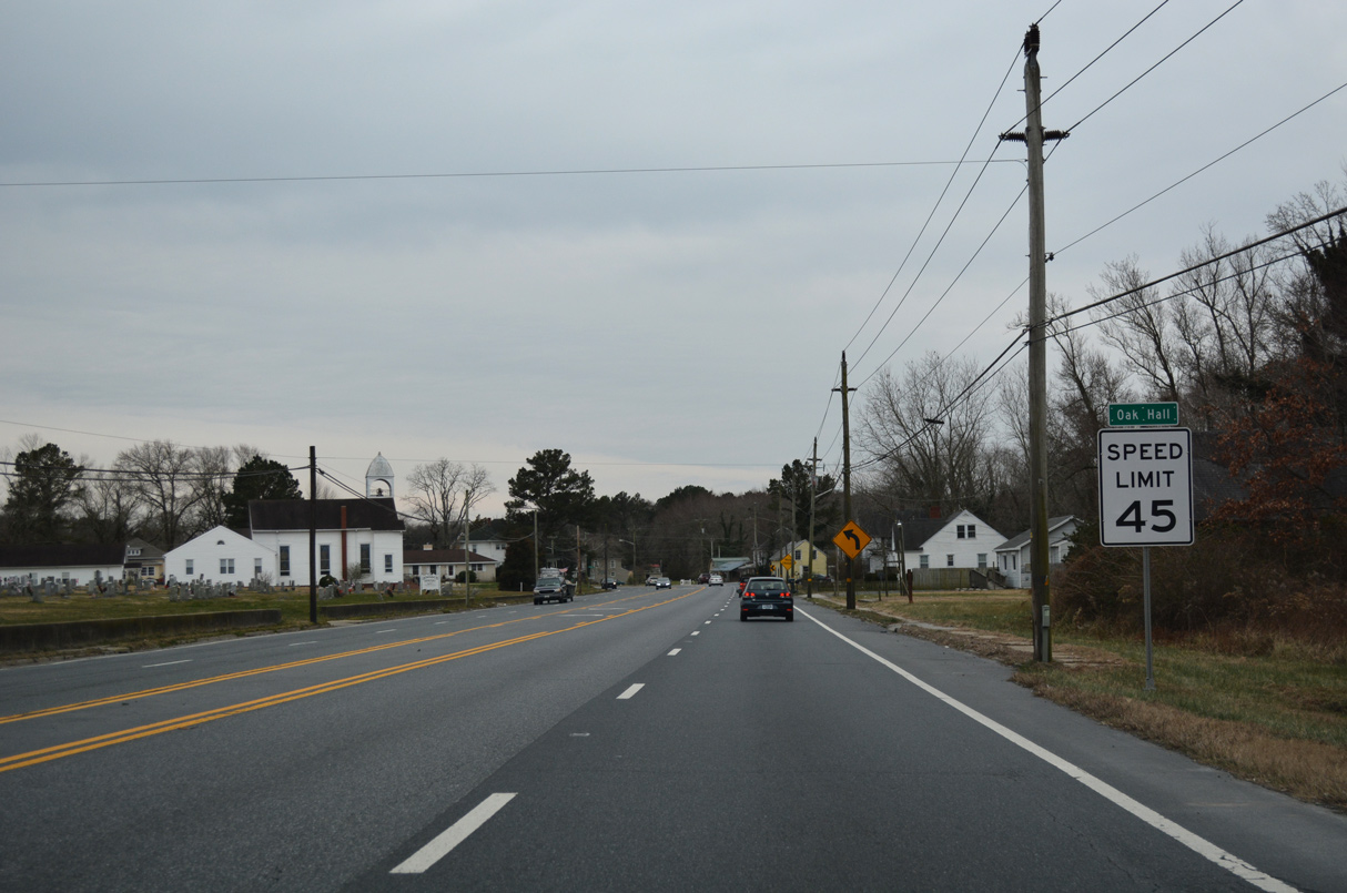
U.S. 13 proceeds south from Oak Hall to the unincorporated community of Temperanceville.
12/30/17
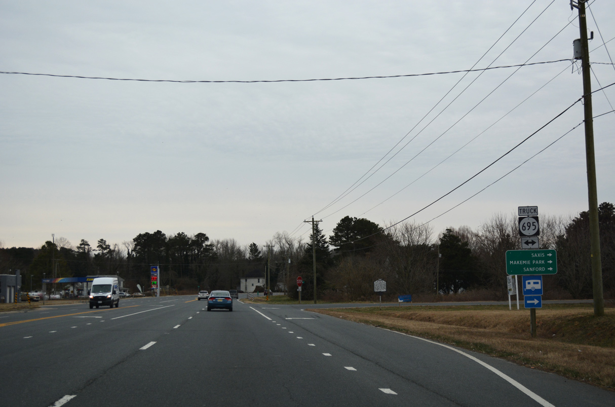
SR 695 (Saxis Road) spurs 12.42 miles west to Makemie Park, Sanford and the town of Saxis on Saxis Island.
12/30/17
12/30/17
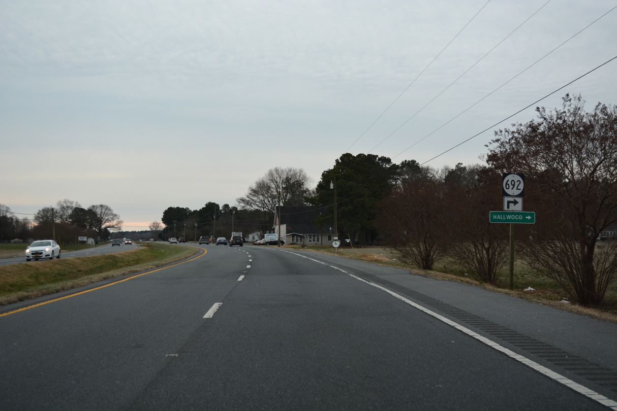
SR 692 ventures 8.21 miles northwest to Hallwood and SR 695 (Saxis Road) near Sanford.
12/30/17

12/30/17
12/30/17
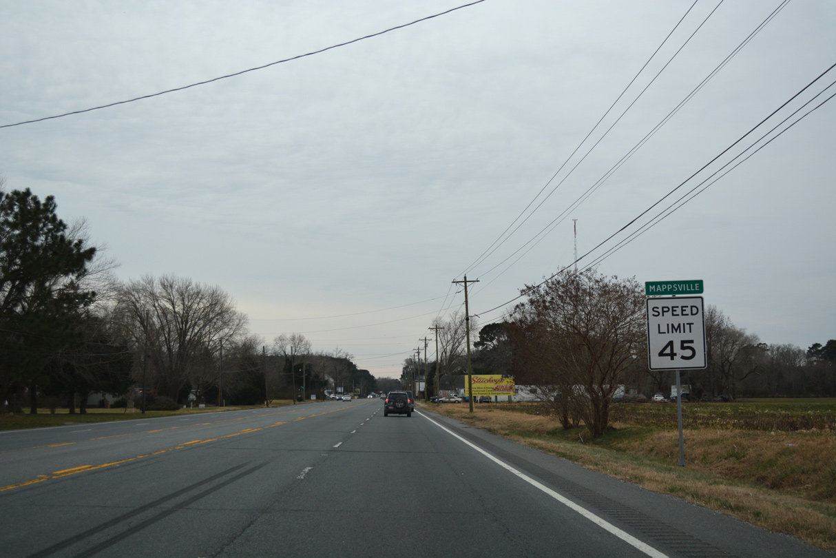
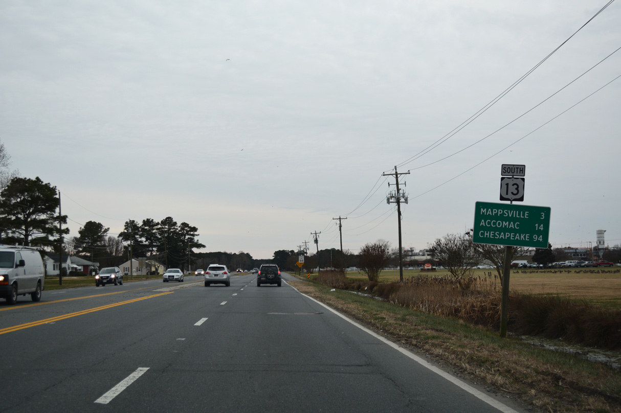
U.S. 13 (Lankford Highway) south at Mappsville.
12/30/17
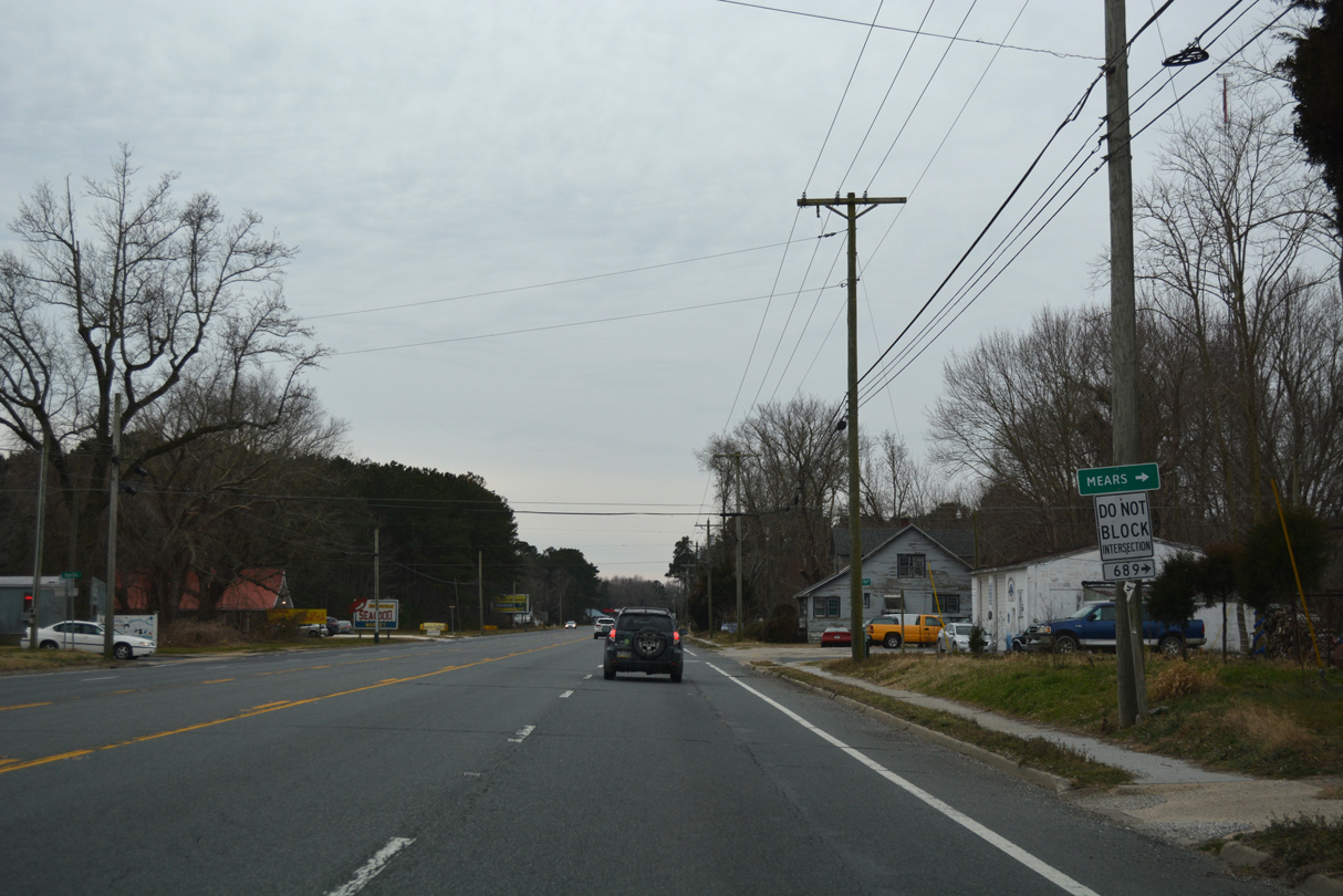
SR 689 (Turkey Run Road) heads west from U.S. 13 at Mappsville to SR 779 (Mears Station Road).
12/30/17
12/30/17
12/30/17
12/30/17
12/30/17
12/30/17
12/30/17
12/30/17
12/30/17
12/30/17
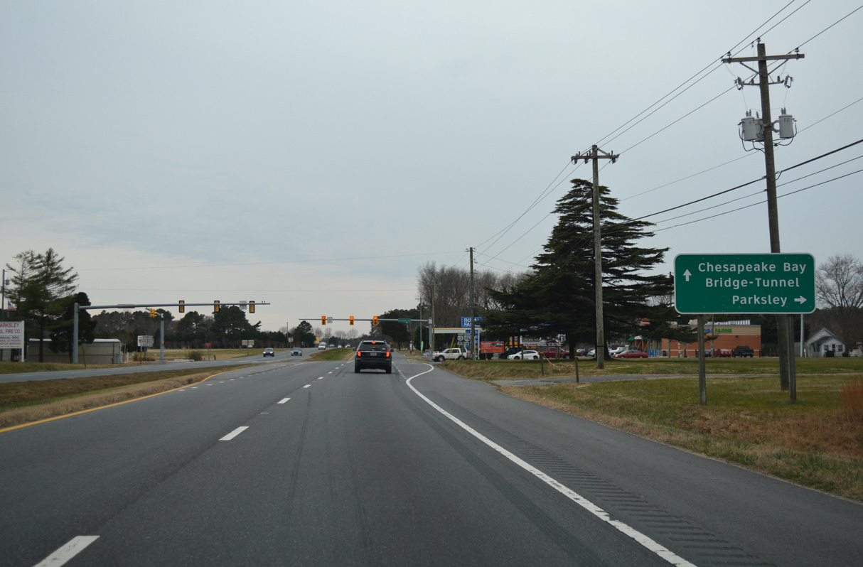
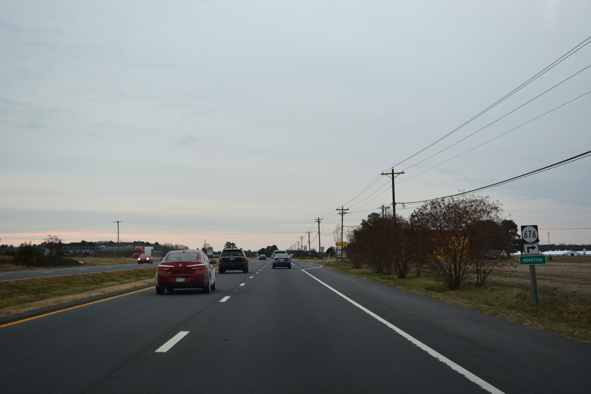
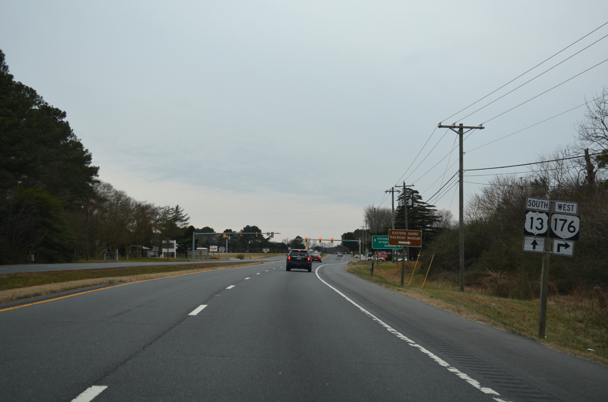
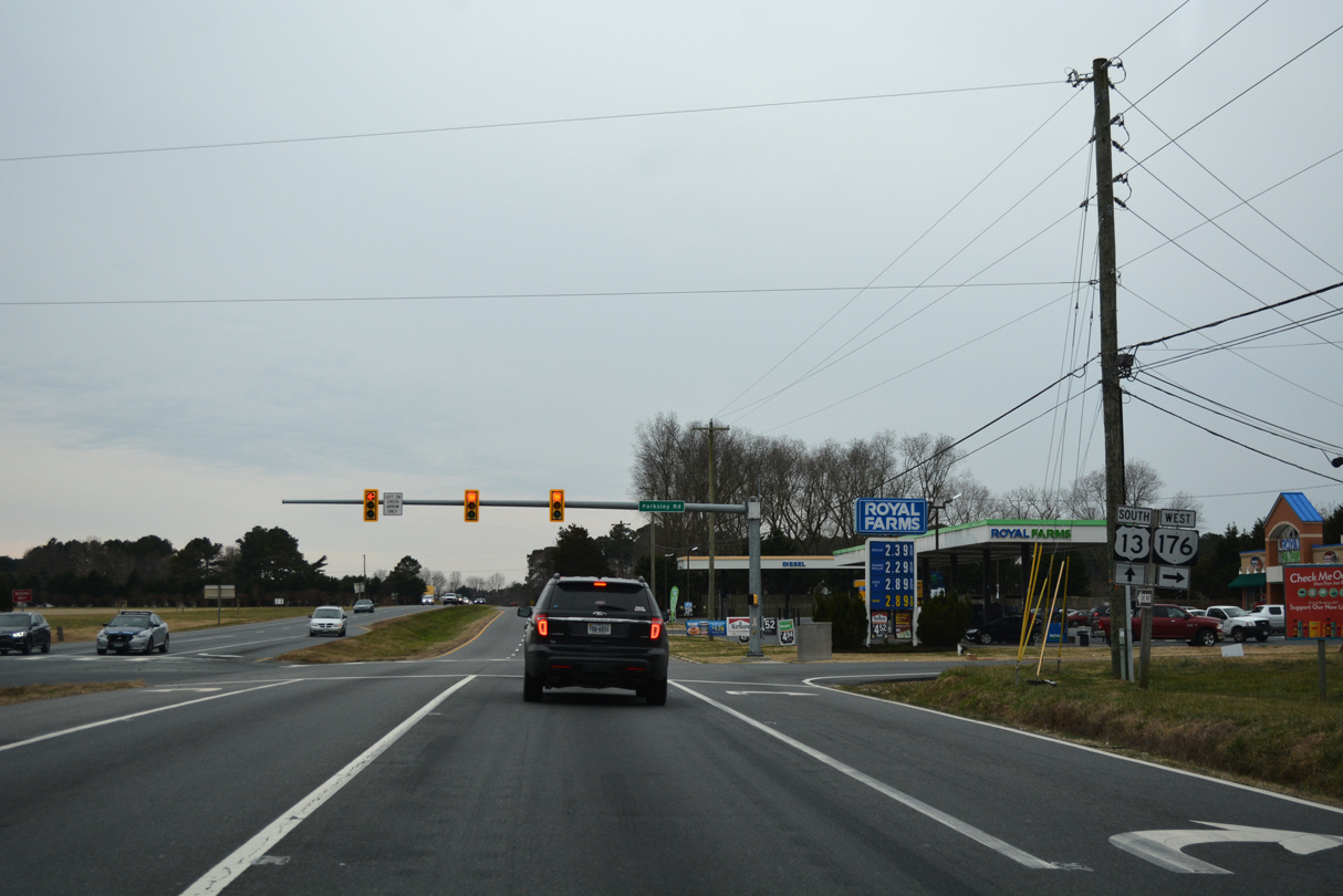
SR 176 is a 2.58 mile long route west from U.S. 13 to SR 316 (Greenbush Road) at Parksley.
12/30/17
12/30/17
12/30/17
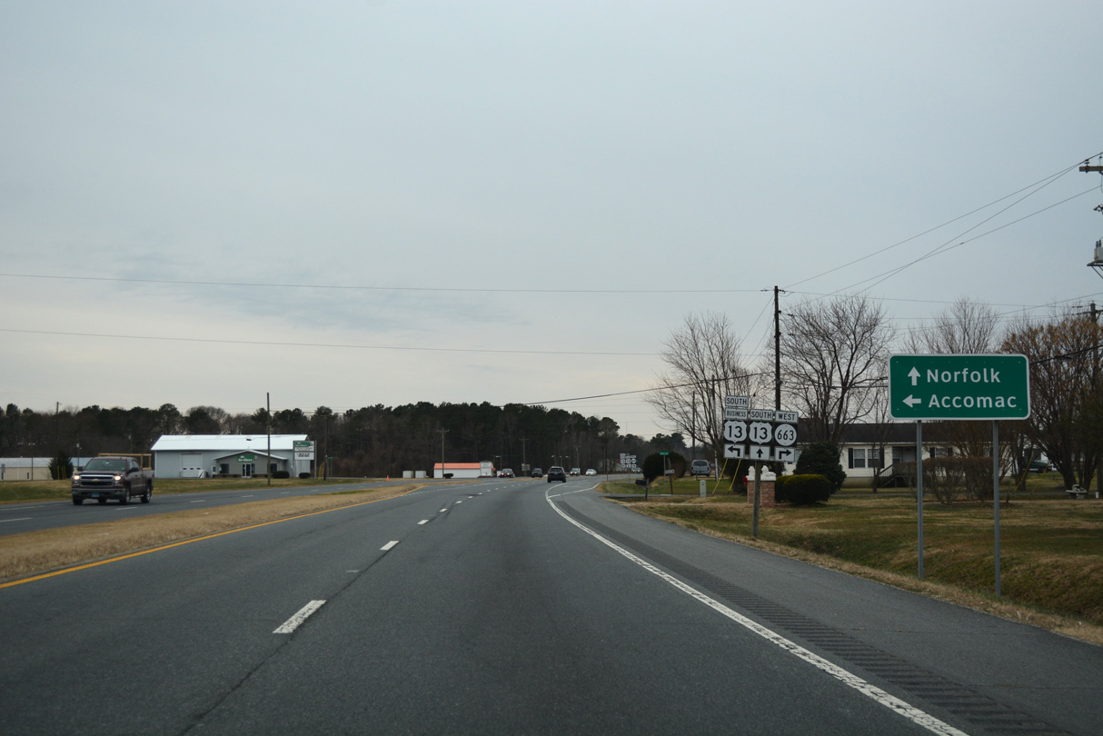
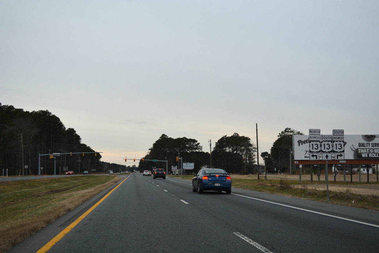
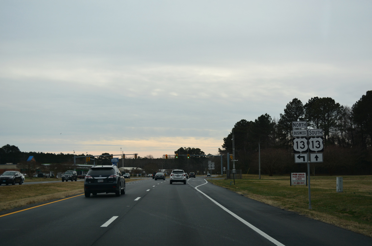
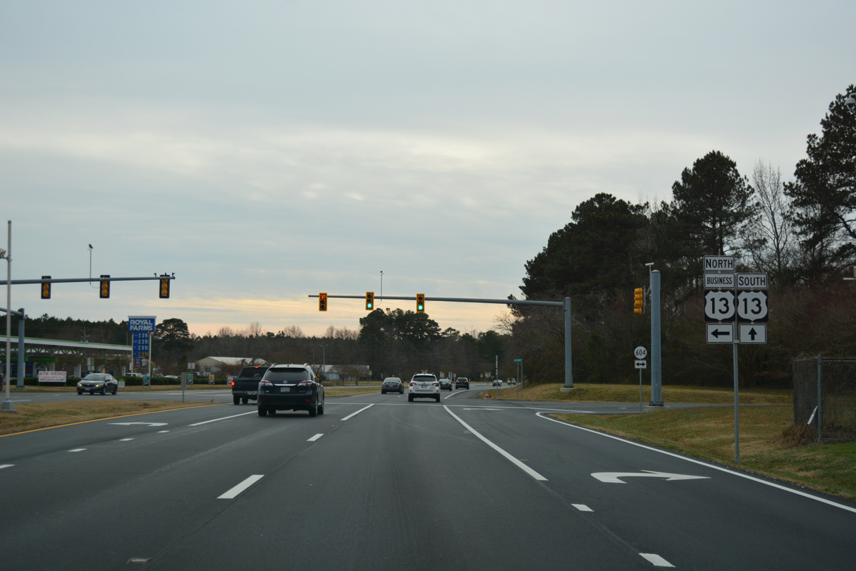
U.S. 13 Business branches south from U.S. 13 (Lankford Highway) along Front Street into the town of Accomac.
12/30/17
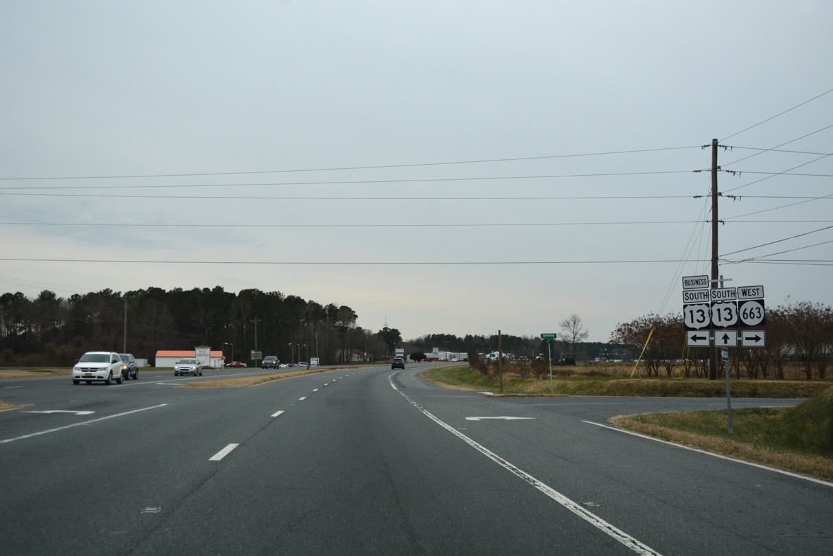
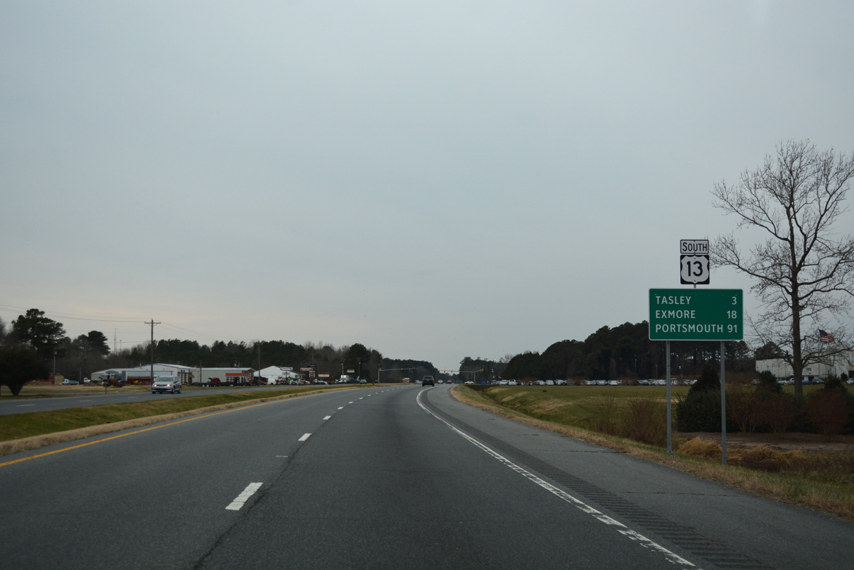
U.S. 13 Business through Accomac is part of a 5.73 mile long route intertwining with U.S. 13 south to Tasley and Onley.
12/30/17
12/30/17
12/30/17
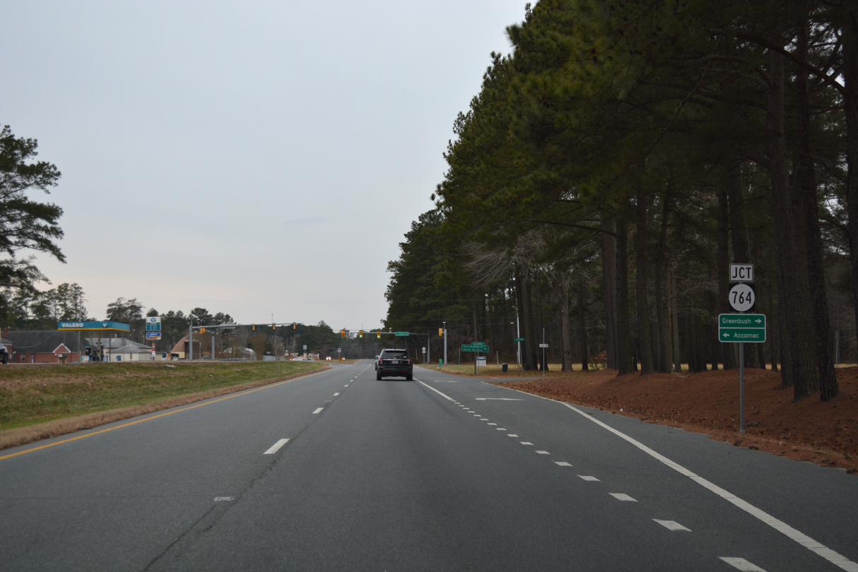
SR 764 is a 1.74 mile long route south along Courthose Avenue to U.S. 13 Business (Front Street) in Accomac and north along Accomac Road to SR 316 at Greenbush.
12/30/17
12/30/17
U.S. 13 Business (Front Street) heads west from Accomac across U.S. 13 onto Tasley Road.
12/30/17

12/30/17
12/30/17
12/30/17

12/30/17
12/30/17
U.S. 13 Business (Coastal Boulevard) meets U.S. 13 again at a grade separated intersection between Tasley and Onley.
12/30/17
Cooperative Way links U.S. 13 with U.S. 13 Business (Coastal Boulevard).
12/30/17
The signalized entrance with Chesapeake Square shopping center follows Cooperative Way and U.S. 13 Business from Lankford Highway southbound.
12/30/17
12/30/17
12/30/17
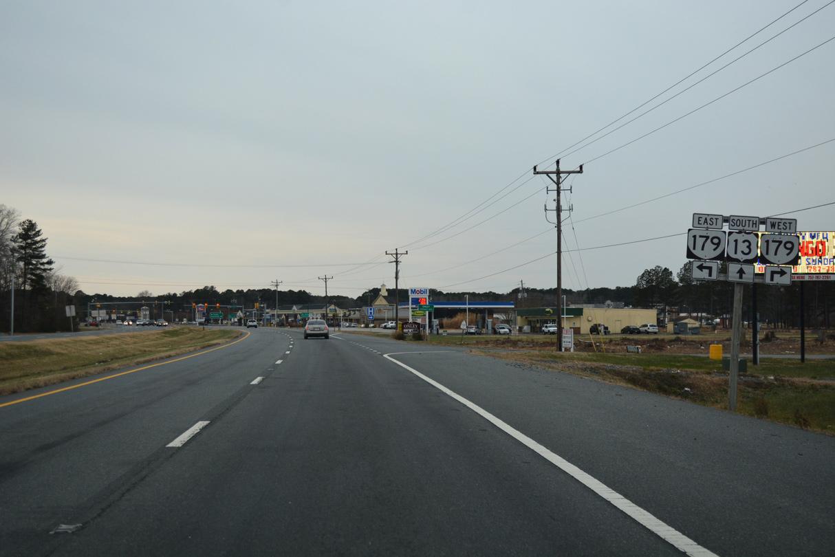
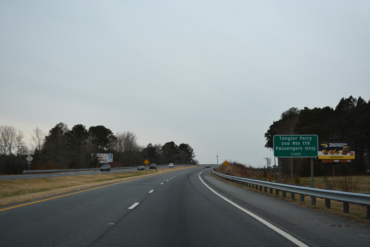
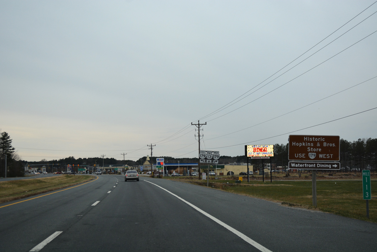
SR 179 runs 2.44 miles west into the town of Onancock along Market Street.
12/30/17
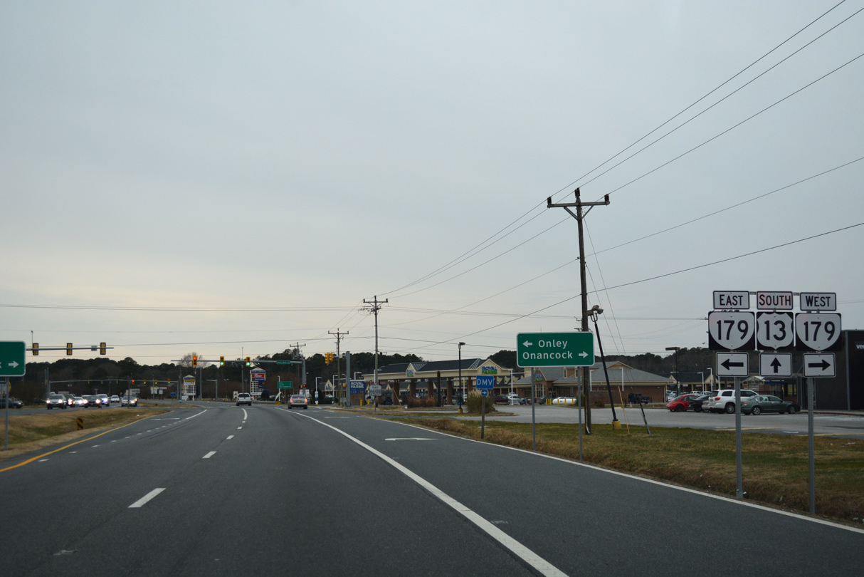
SR 179 follows Main Street 0.50 miles south from U.S. 13 (Lankford Highway) to U.S. 13 Business (Coastal Boulevard) in Onley.
12/30/17
12/30/17
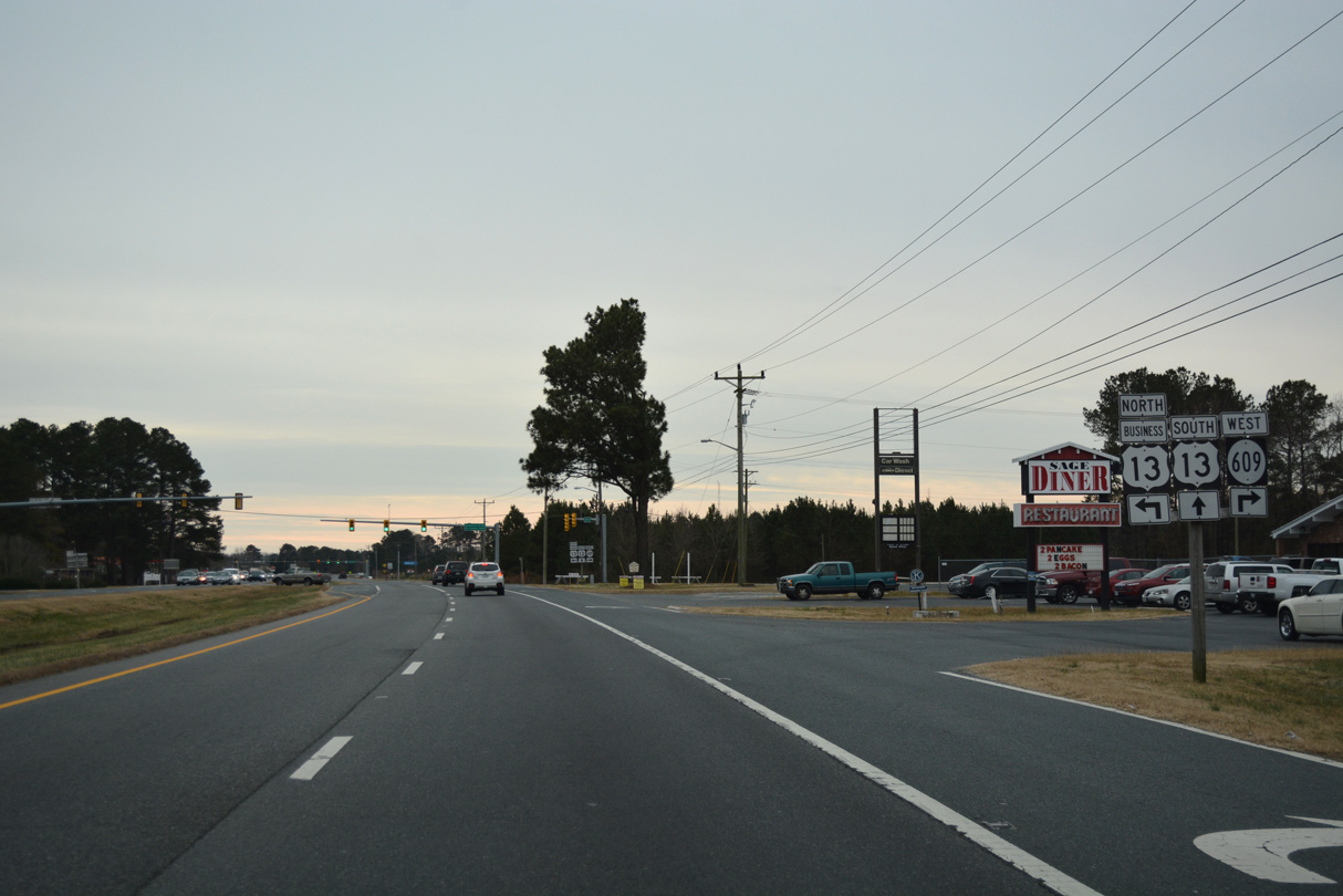
The south end of U.S. 13 Business in Onley lies across from SR 609 (Pennsylvania Avenue).
12/30/17
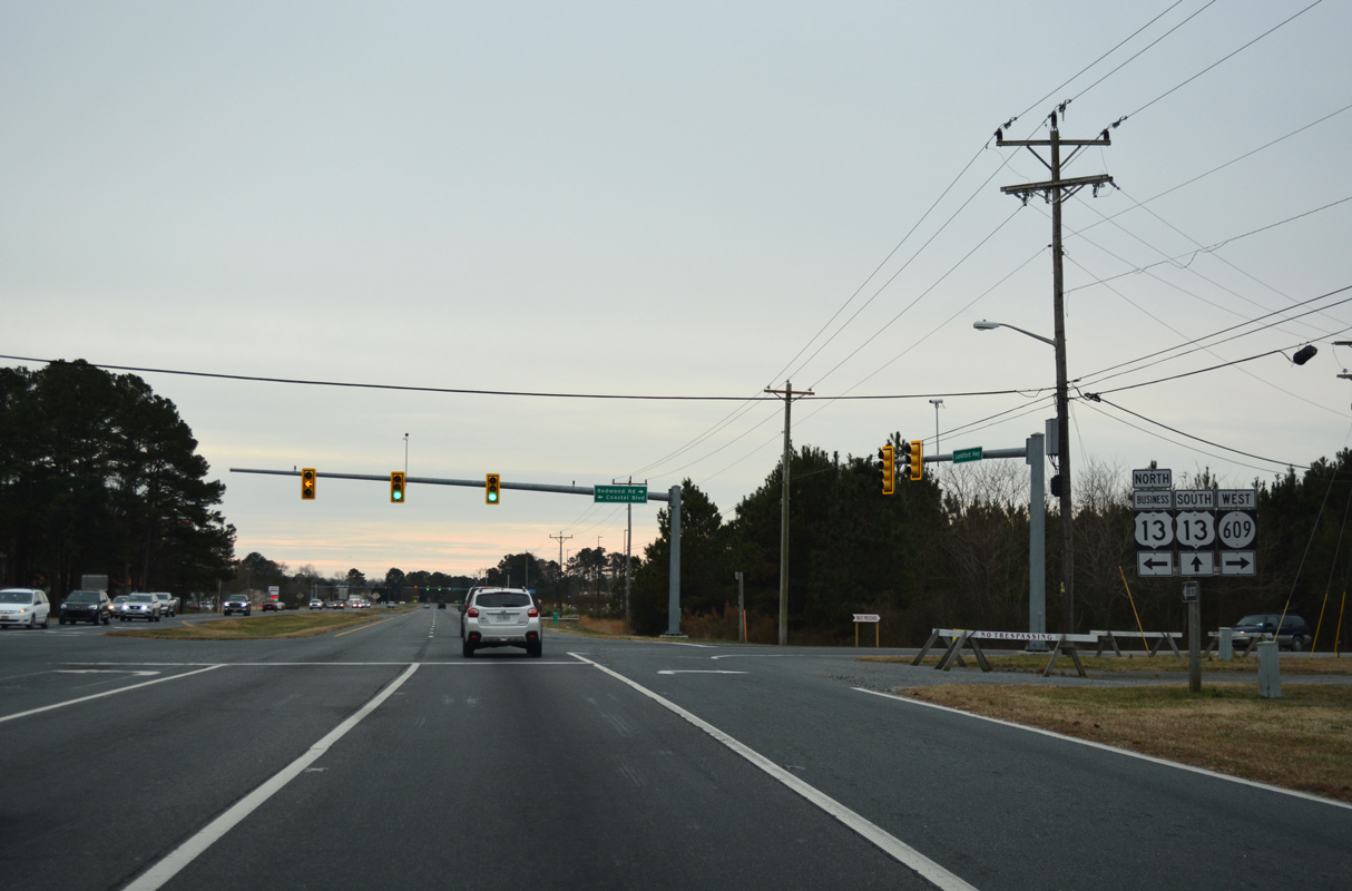
12/30/17

The signal with Onley Road north and Madigan Way west serves big box retail.
12/30/17
12/30/17
12/30/17

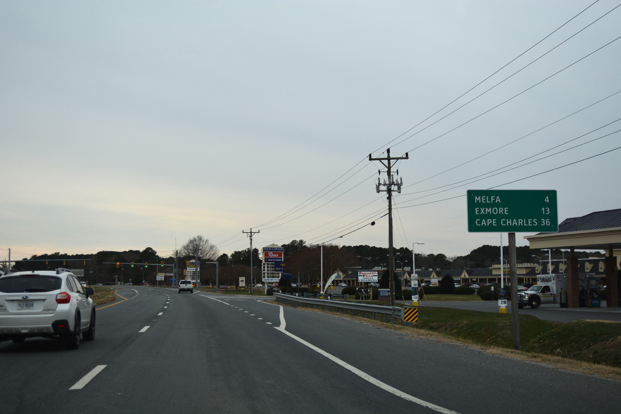
U.S. 13 (Lankford Highway) enters the town of Melfa south through an area of timberland.
12/30/17
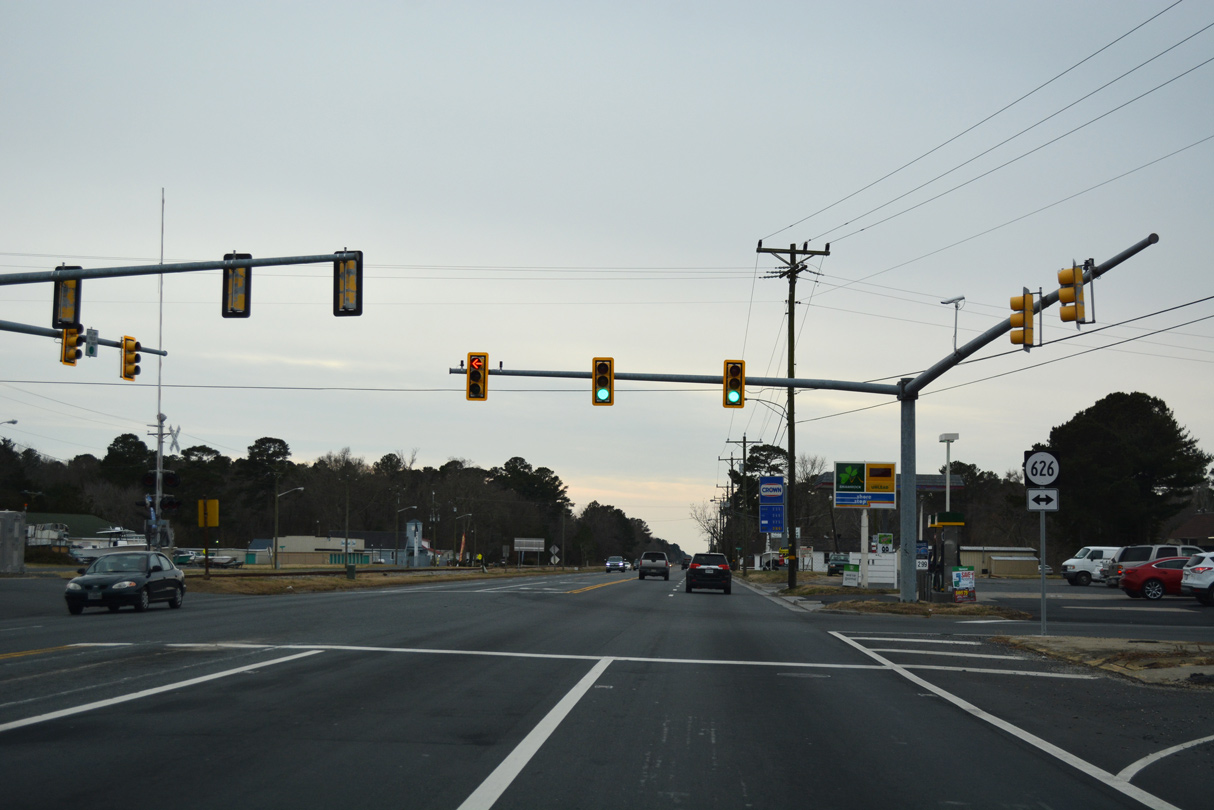
U.S. 13 (Lankford Highway) south meets SR 626 (Main Street) at a signalized intersection in Melfa.
12/30/17
12/30/17
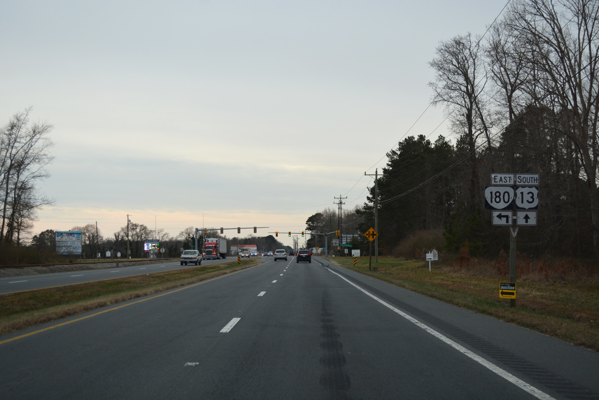
SR 180 (Wachapreague Road) converges with U.S. 13, 4.35 miles west from Main Street in the town of Wachapreague.
12/30/17
SR 180 (Wachapreague Road) was realigned northward from N.R. North Street and Keller Fair Road along an overlap with U.S. 13.
12/30/17
South 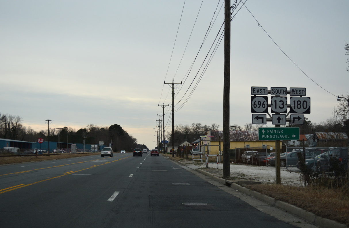
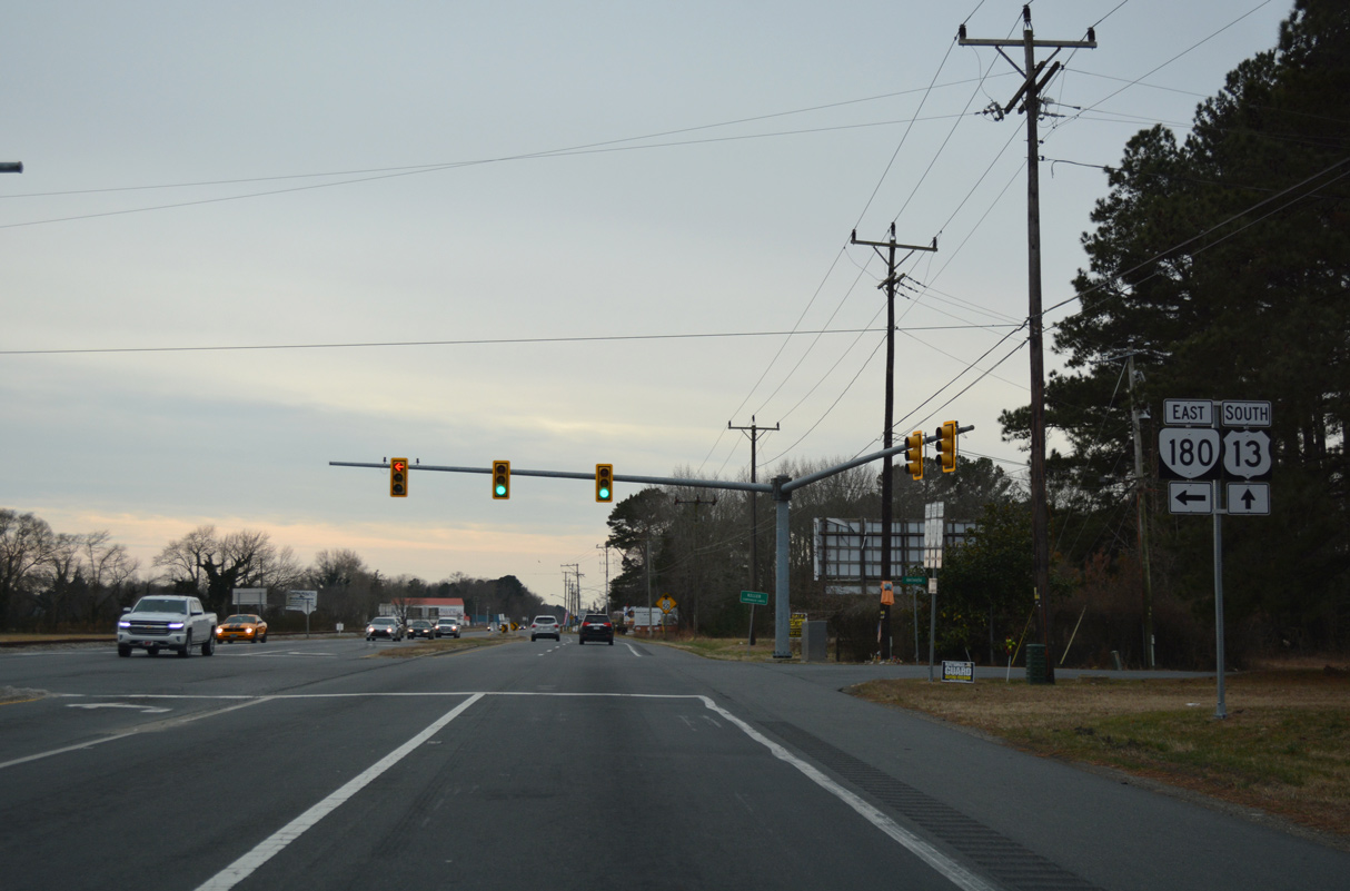
SR 180 splits with U.S. 13 (Lankford Highway) 0.46 miles to the south at N.R. North Street and SR 696 in the town of Keller.
12/30/17
South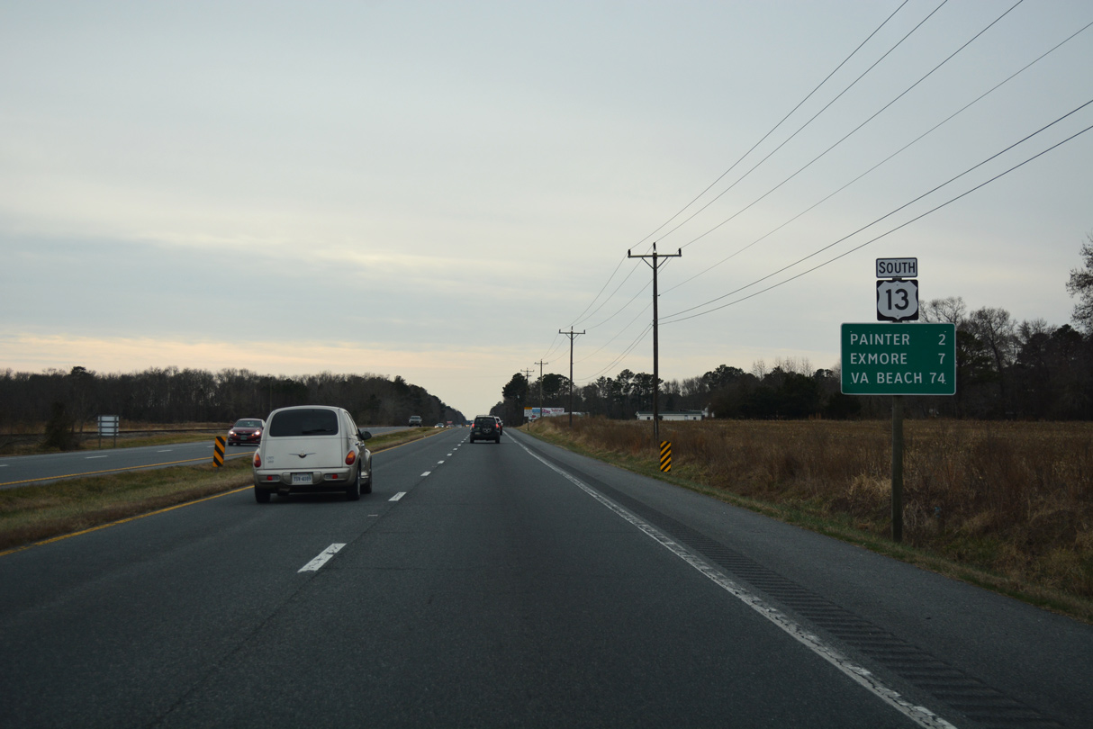
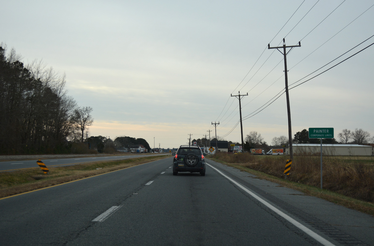
U.S. 13 continues south across Ames Ridge from Keller two miles to the town of Painter.
12/30/17
12/30/17
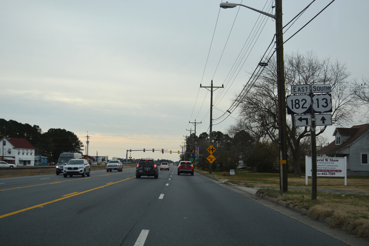
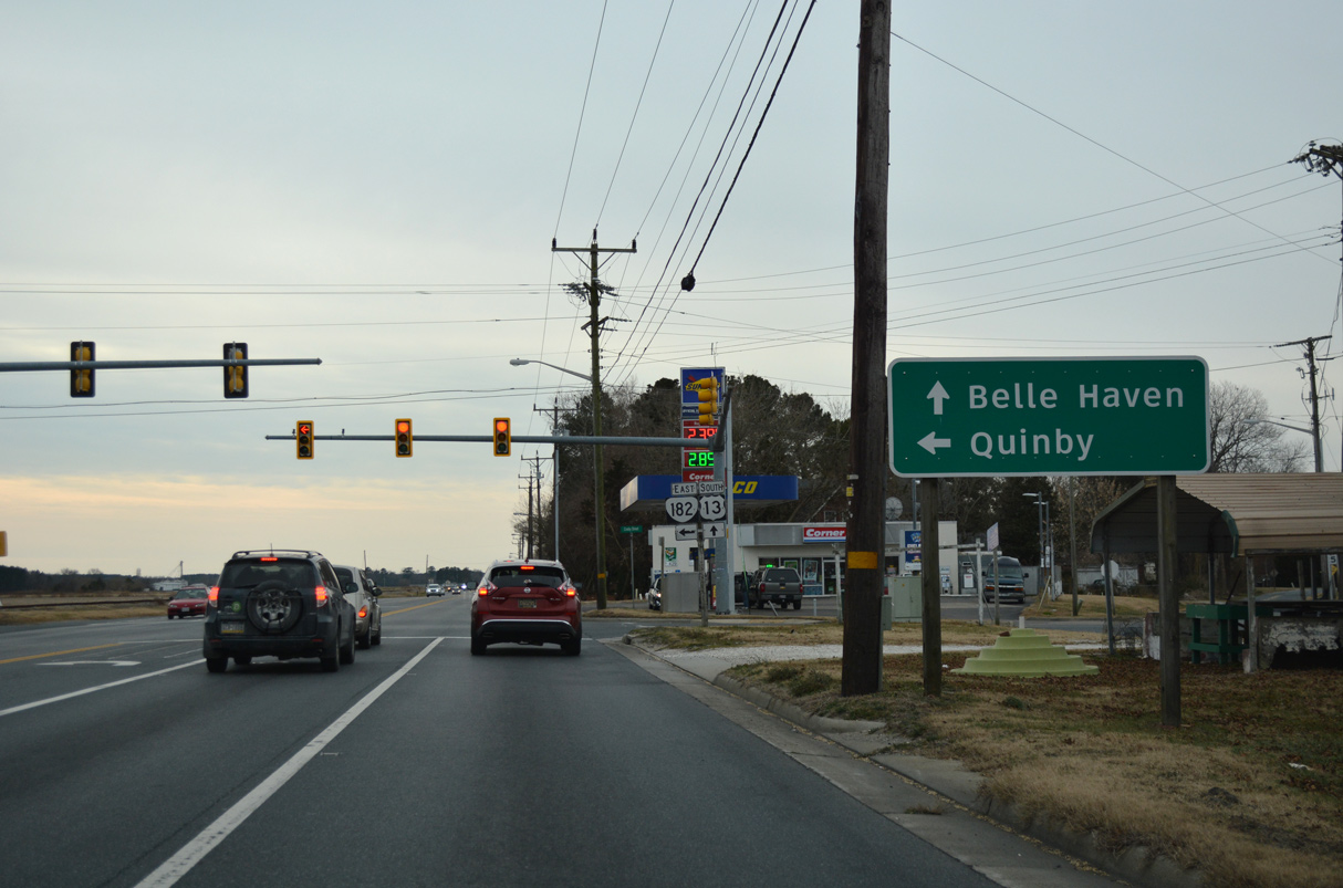
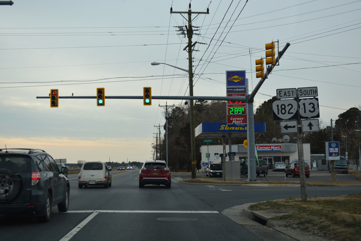
SR 182 spurs 3.71 miles southeast from U.S. 13 at Painter to SR 605 (Bradfords Neck Road) in Quinby.
12/30/17
SR 182 crosses the Machipongo River east from Mappsburg onto Bradford Neck.
12/30/17
SR 182 dog legs east along Main Street and north on Railroad Avenue one block to Mappsburg Road.
12/30/17

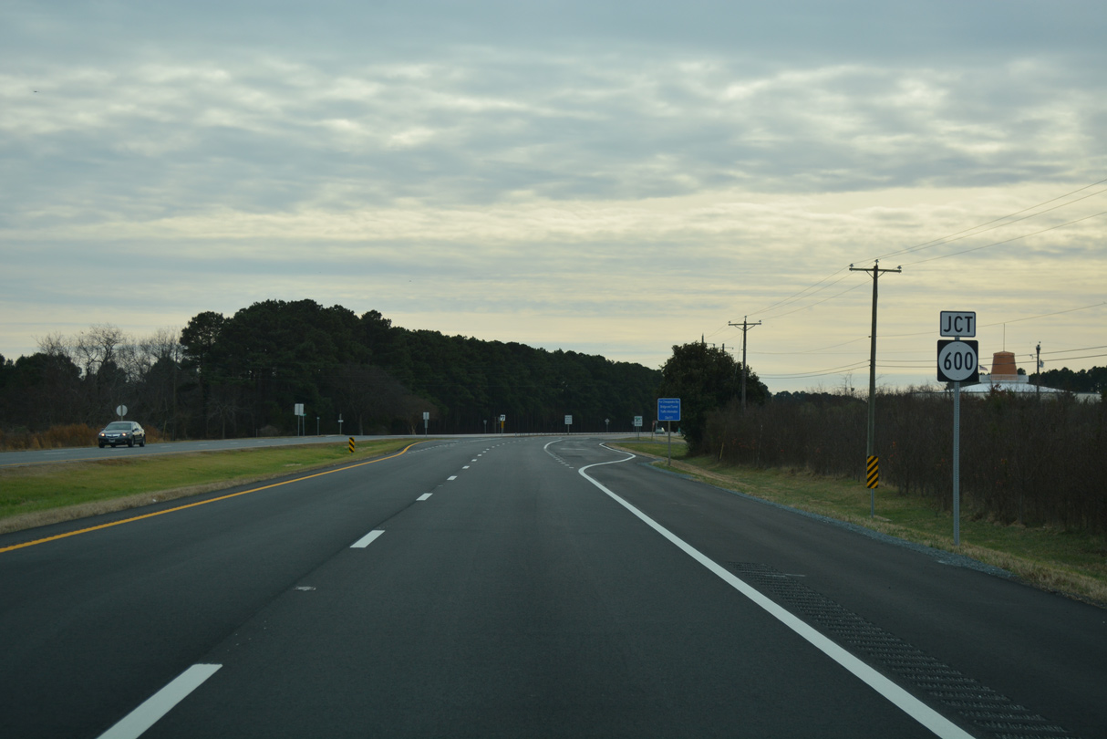
SR 603 follows Savagetown Road east to Savage Town and SR 600 (Seaside Road) near Cats Bridge.
12/30/17
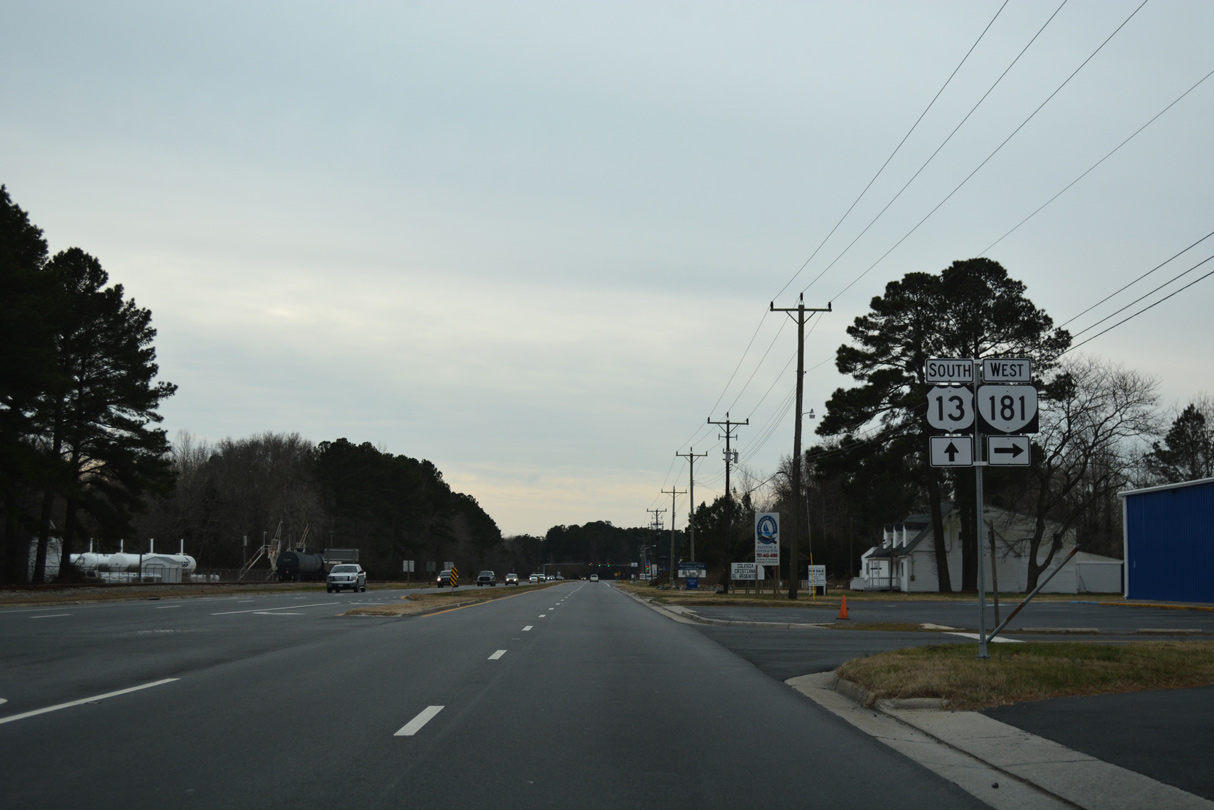
SR 181 (King Street) comprises a 0.95 mile long route west to SR 178 (Shields Bridge Road) in the town of Belle Haven.
12/30/17
12/30/17
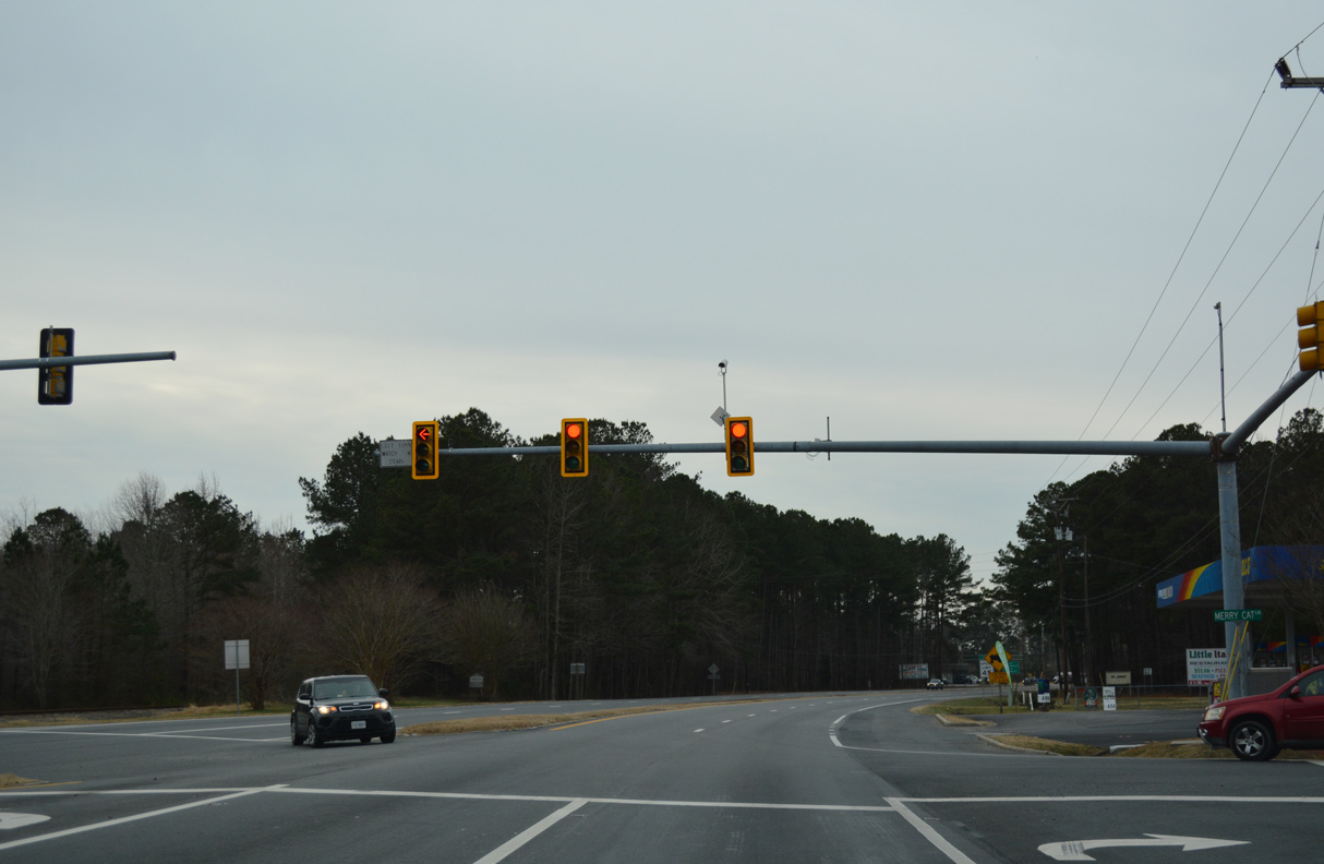
Merry Cat Lane angles southeast from SR 178 in Belle Haven to meet U.S. 13 across from County Line Road.
12/30/17
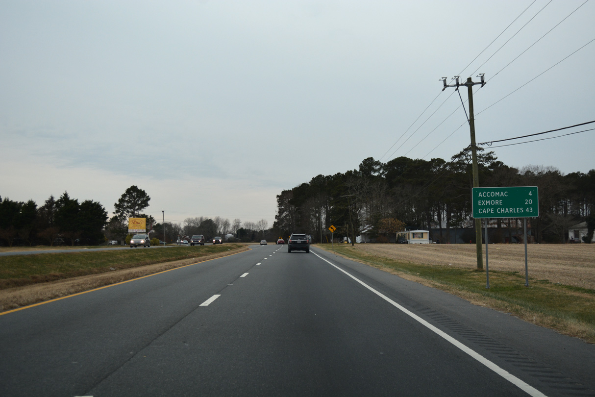
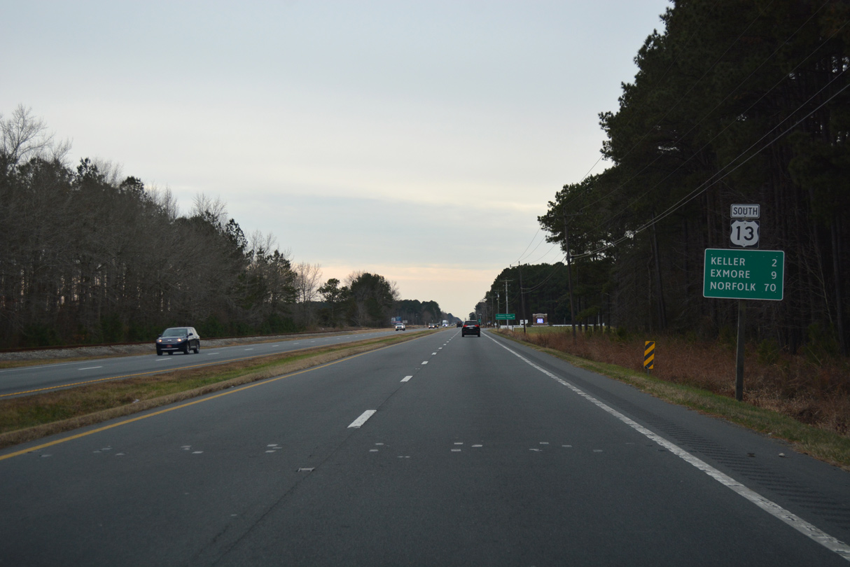
U.S. 13 travels 37.21 miles south from the Maryland line into Northampton County.
12/30/17
South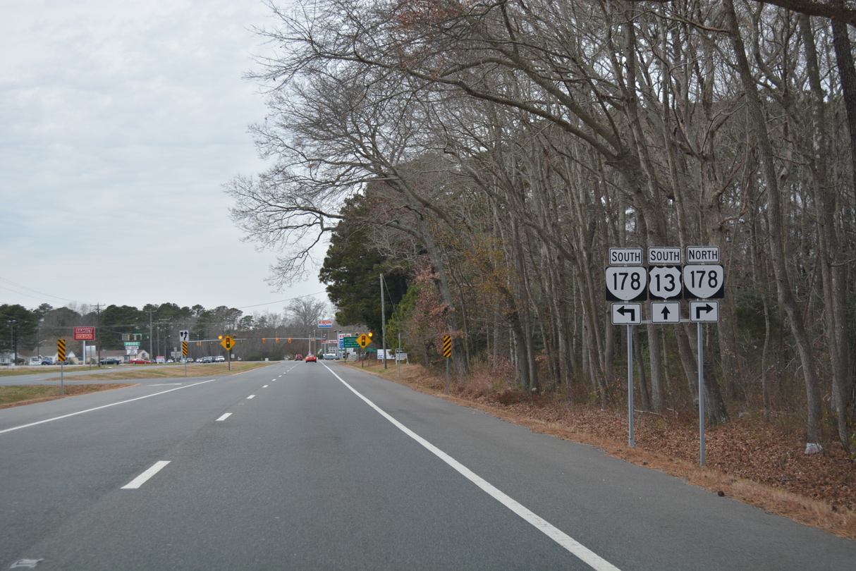
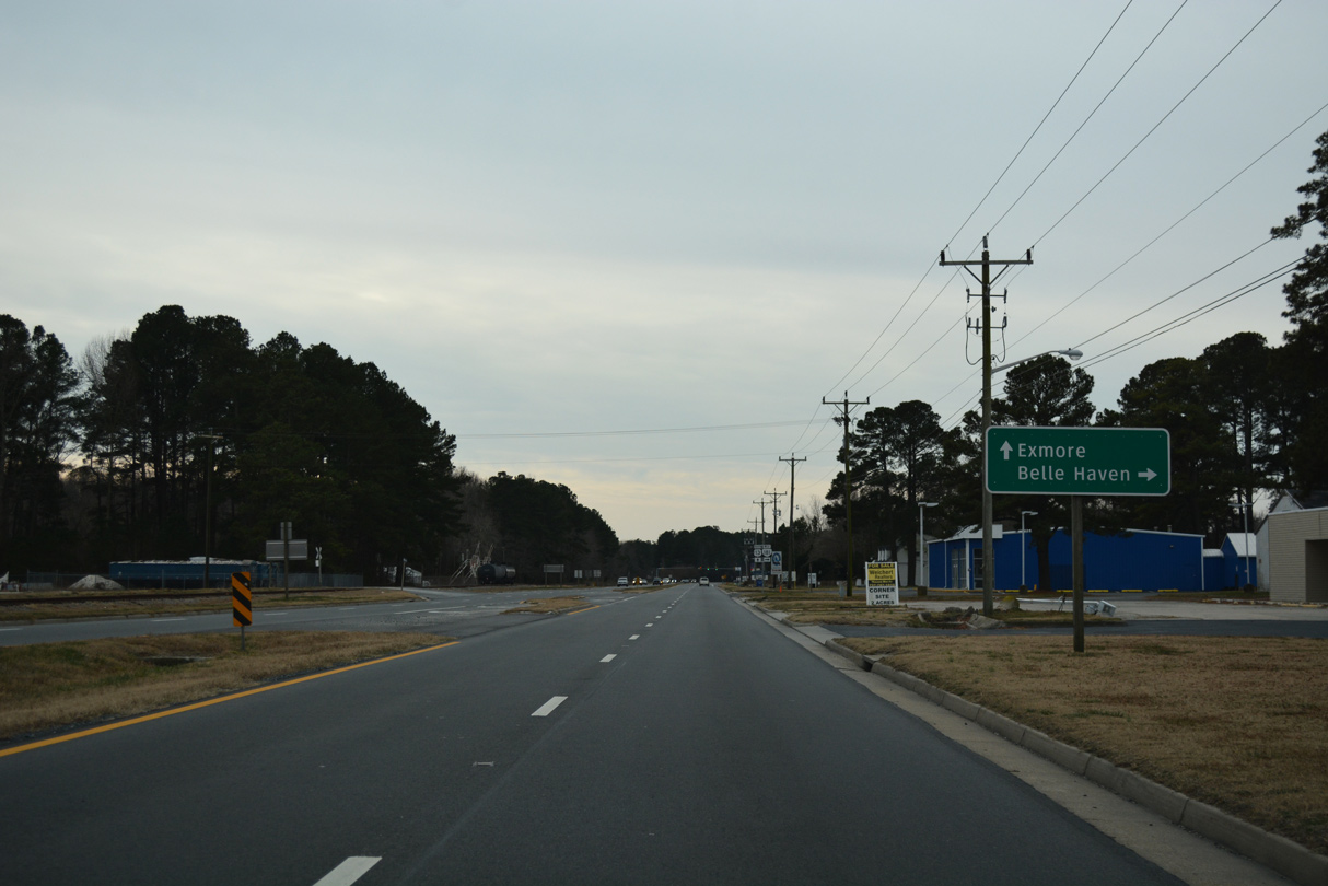
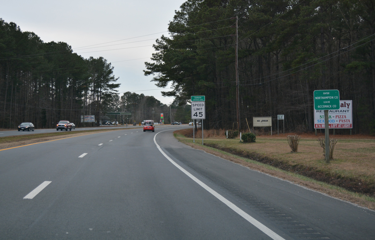
SR 178 (Belle Haven Road) converges with U.S. 13, 0.94 miles south from SR 181 (King Street) in Belle Haven at Exmore.
12/30/17
SR 178 lines Main Street south 0.36 miles to U.S. 13 Business (Lincoln Avenue).
12/30/17
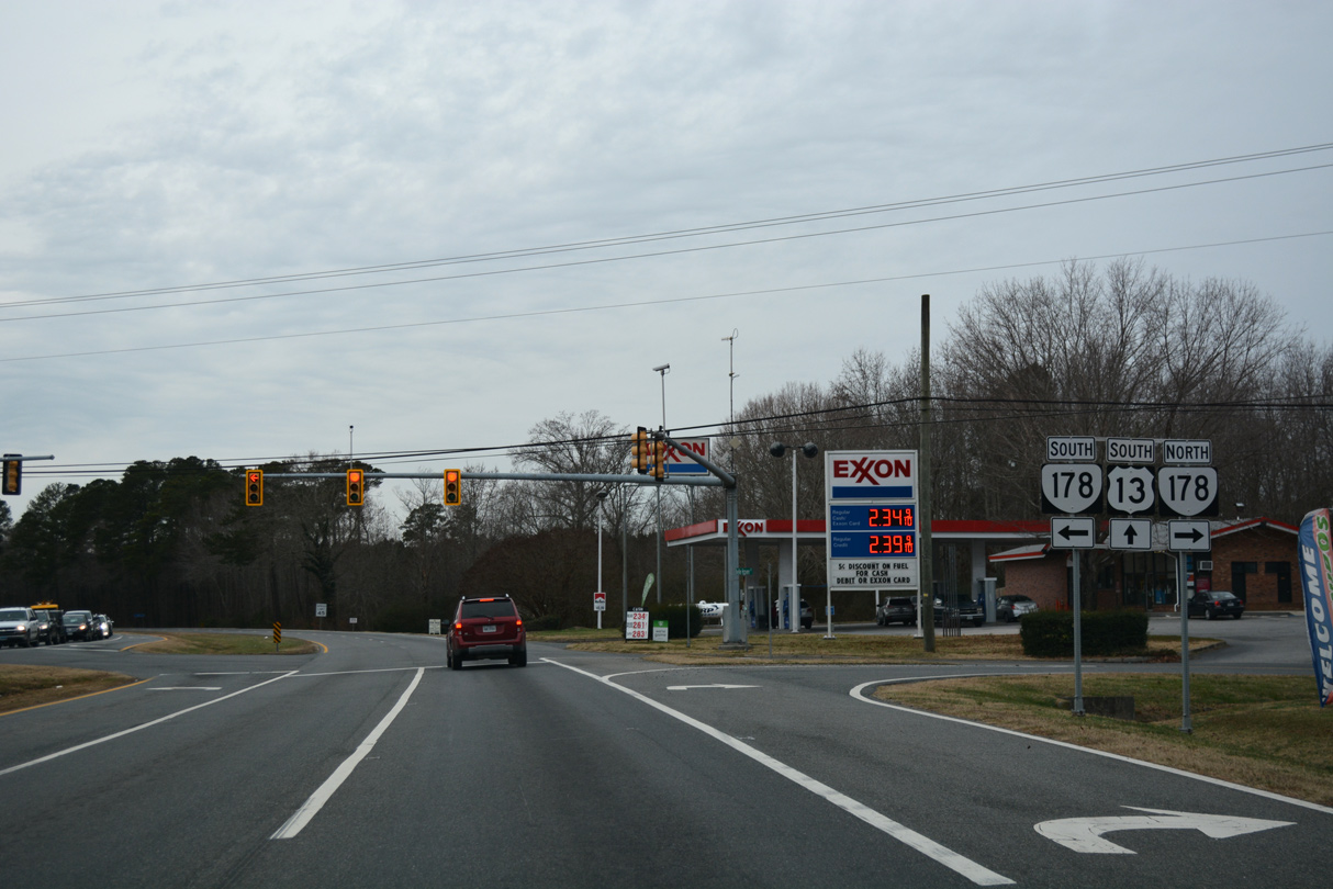
SR 178 travels 11.49 miles overall north from Exmore to Pungoteague and Bobtown.
12/30/17
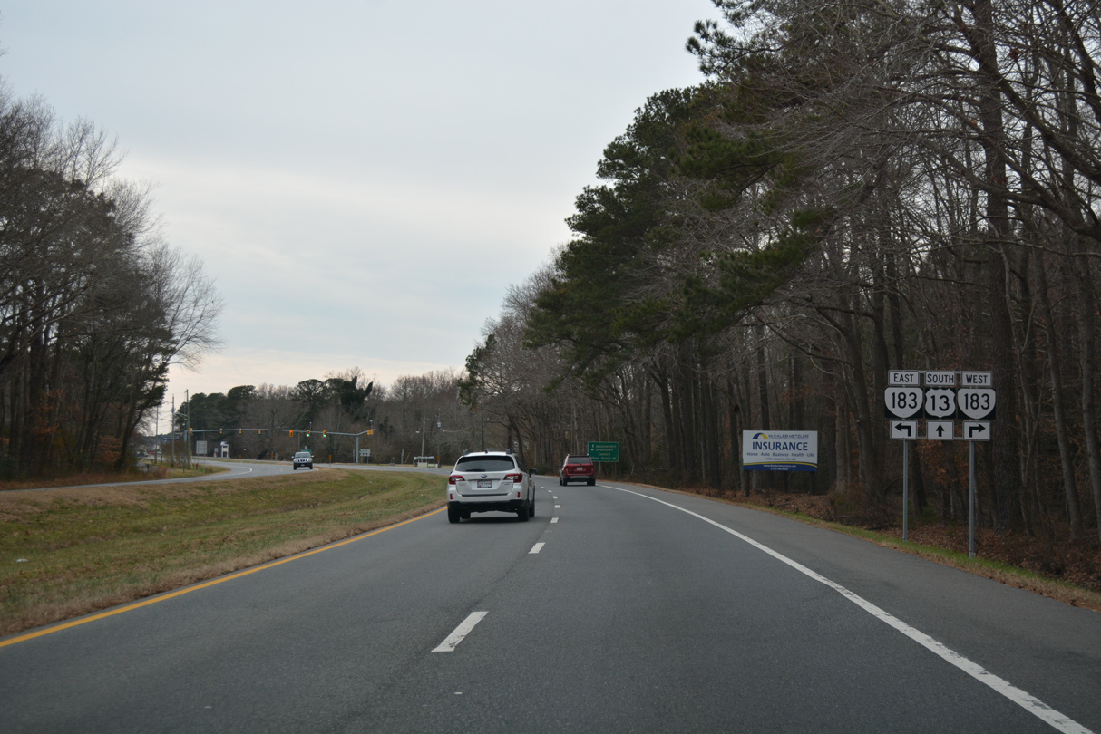
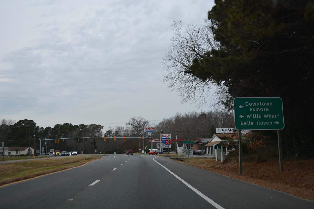
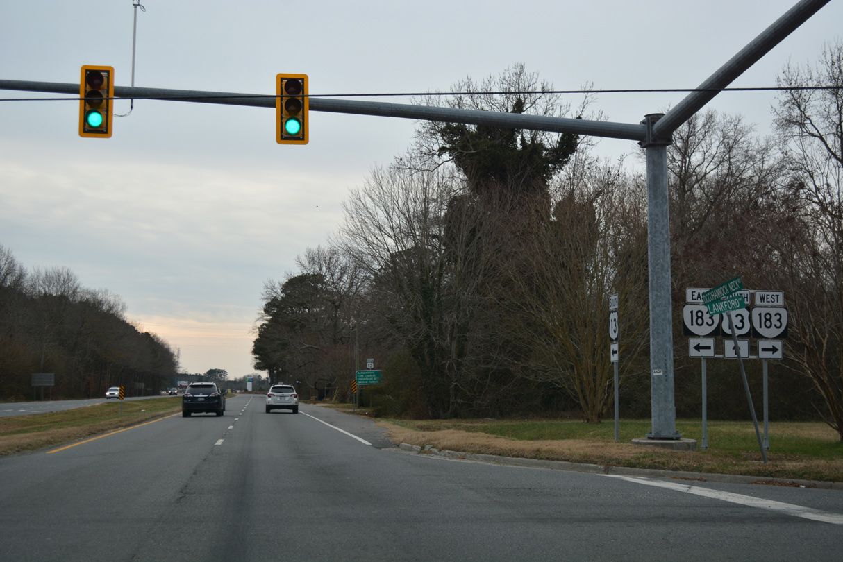
SR 183 stems 0.36 miles west from U.S. 13 Business (Main Street) and Downtown Exmore along Occohannock Neck Road to U.S. 13 (Lankford Highway).
12/30/17
SR 183 continues 7.09 miles west to Wardtown and Jamesville on Occohannock Neck. SR 613 extends 2.50 miles from the end of SR 183 to Silver Beach along Chesapeake Bay.
12/30/17
12/30/17

12/30/17
SR 652 is Broadwater Road west and Cathey Avenue east in Exmore.
12/30/17
A 2.14 mile long route, U.S. 13 Business through Exmore concludes along Main Street south at U.S. 13.
12/30/17
12/30/17
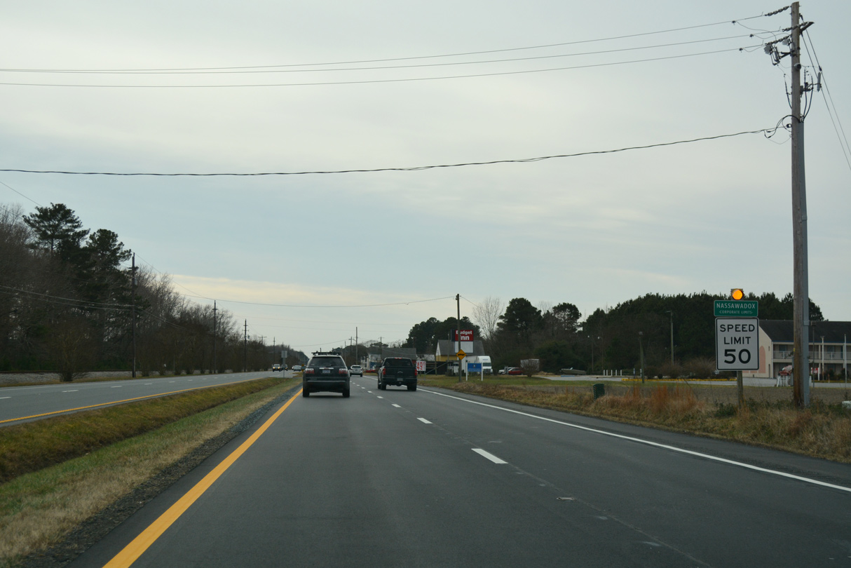
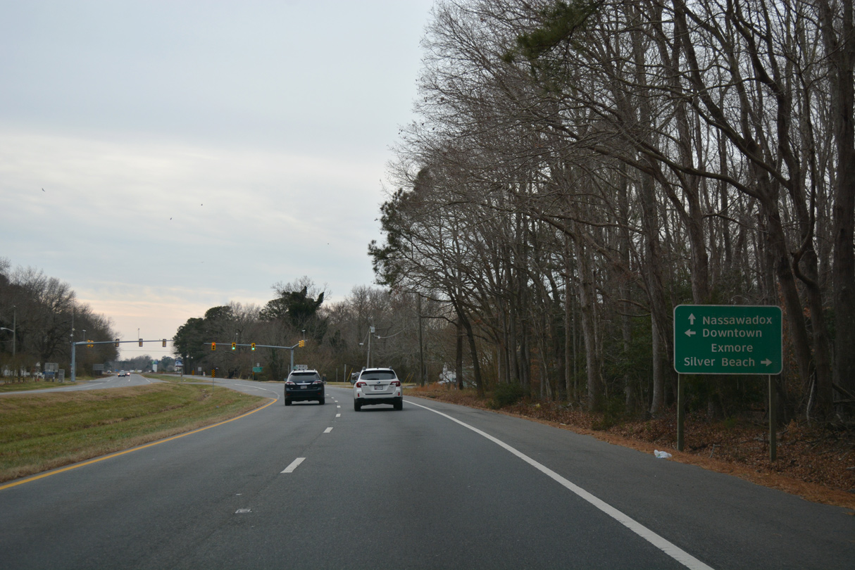
South of Exmore, U.S. 13 next enters the town of Nassawadox.
12/30/17
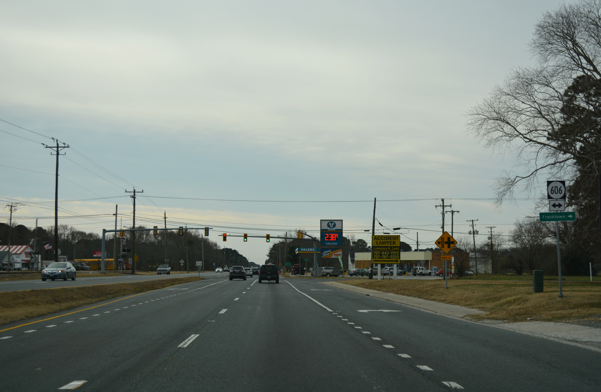
SR 606 (Rogers Drive) links U.S. 13 with SR 618 (Bayside Road) to Franktown, 0.77 miles to the north.
12/30/17
12/30/17
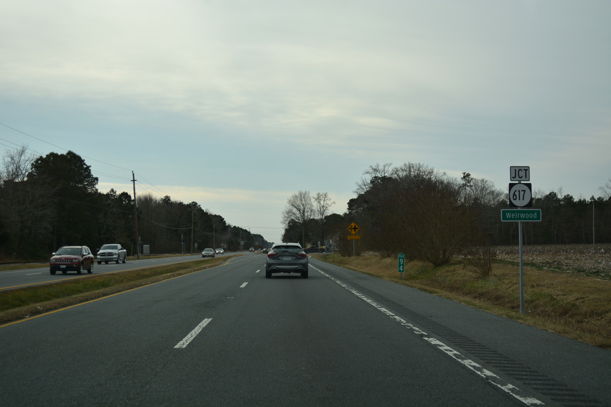
U.S. 13 meets SR 617 (Bayford Road) at Weirwood.
12/30/17
12/30/17
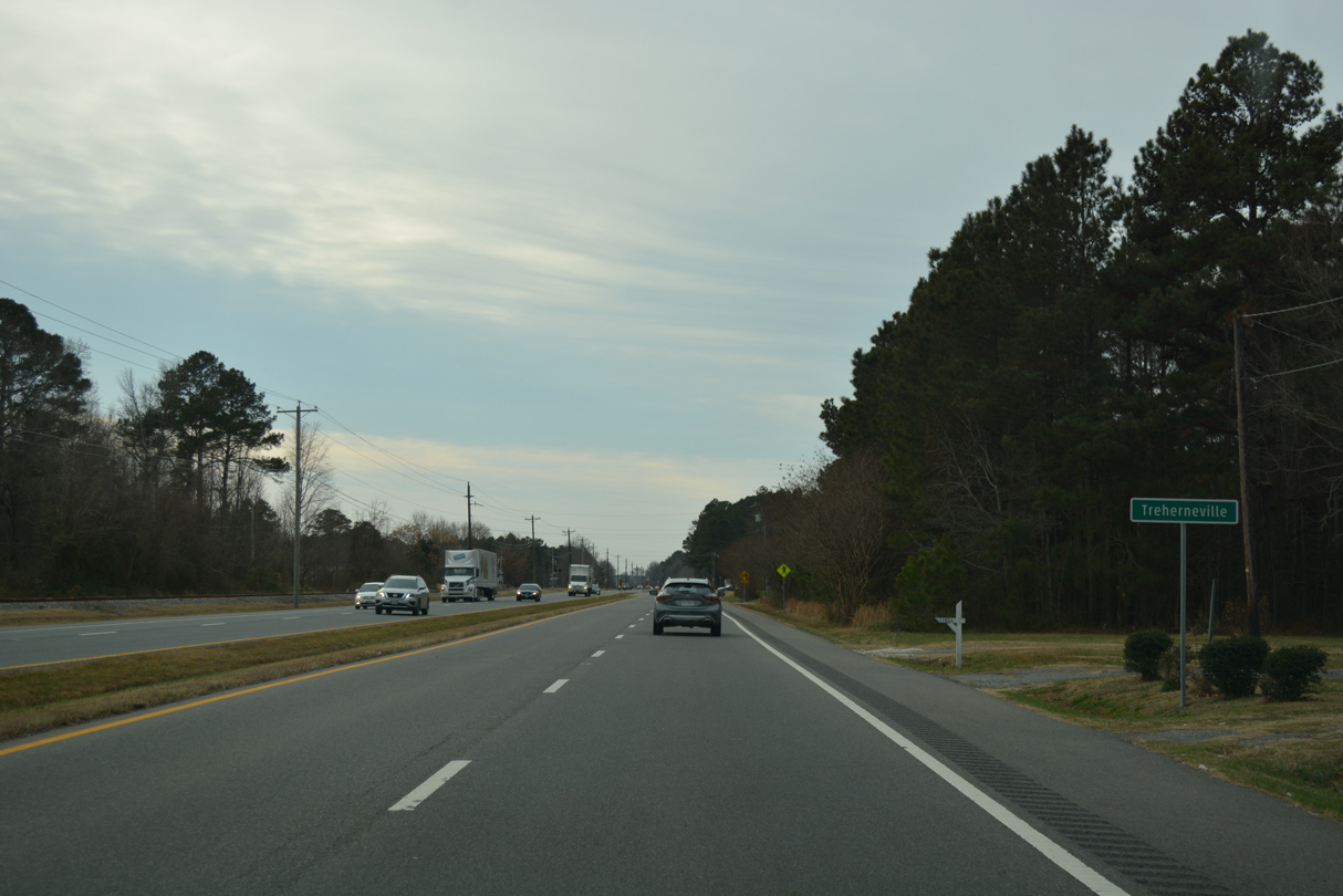
12/30/17
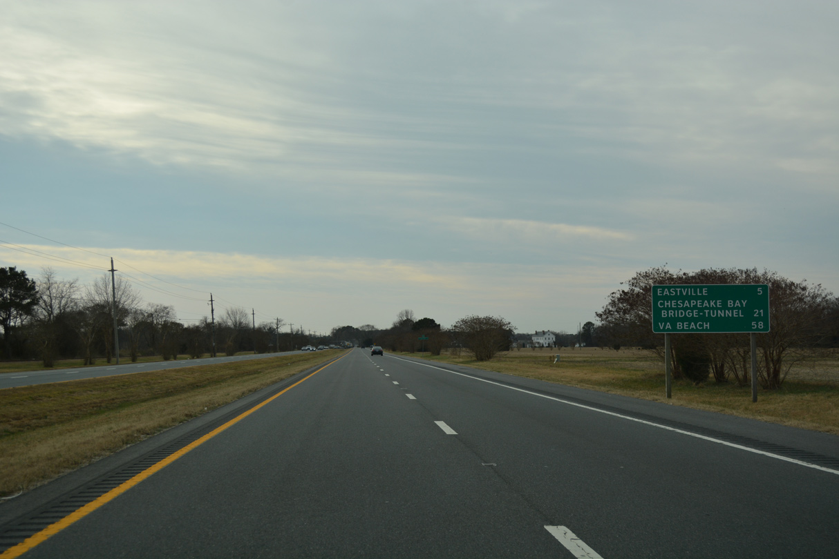
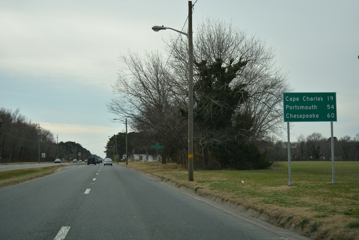
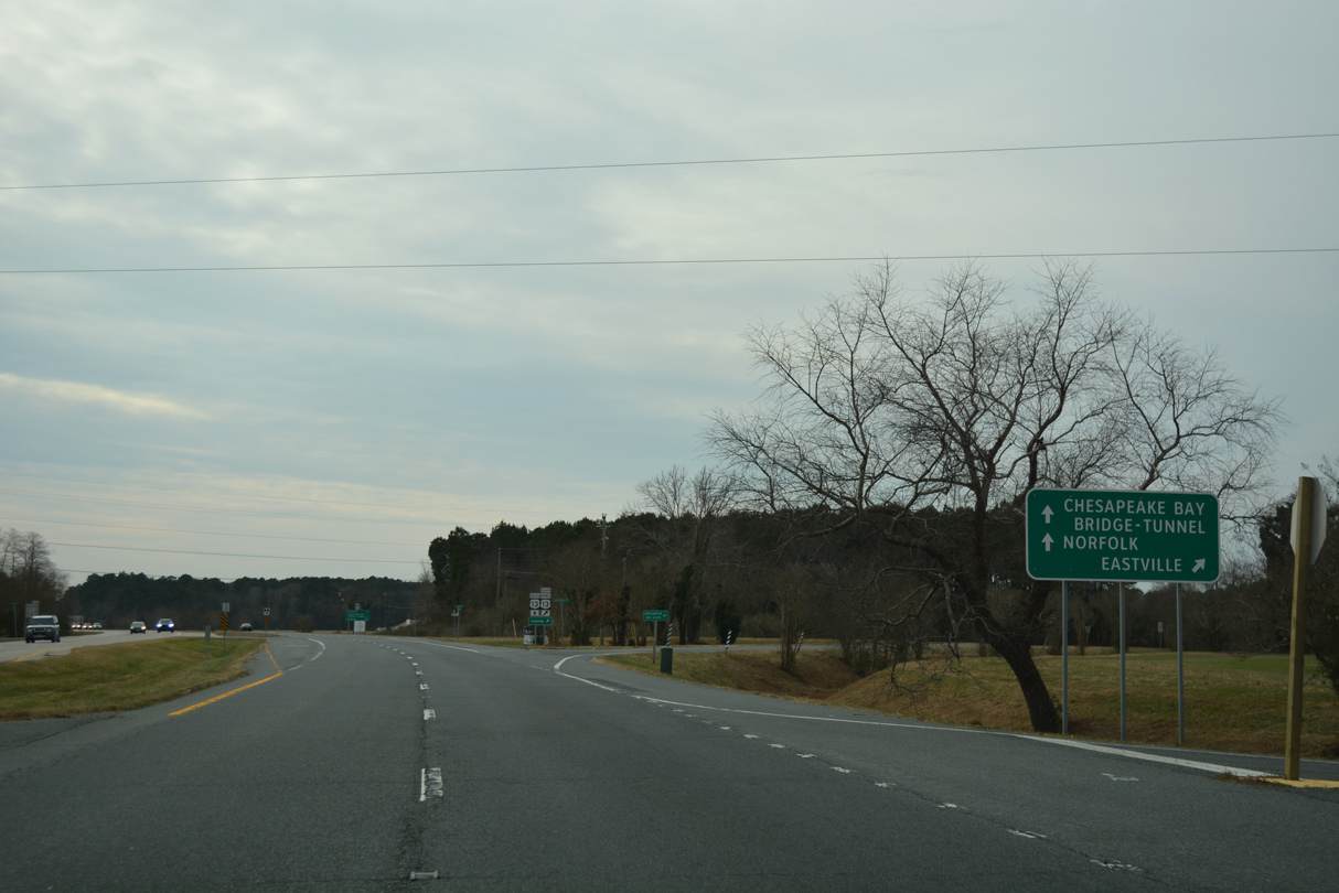
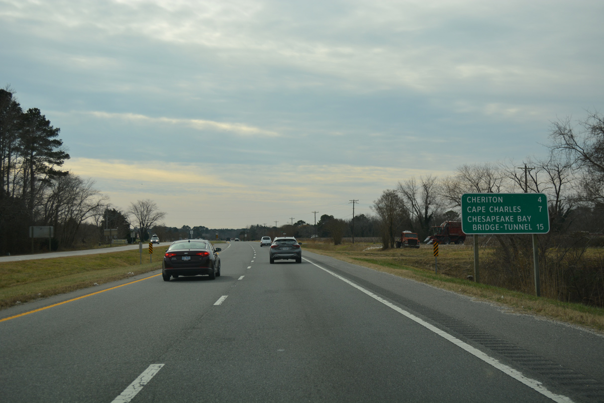
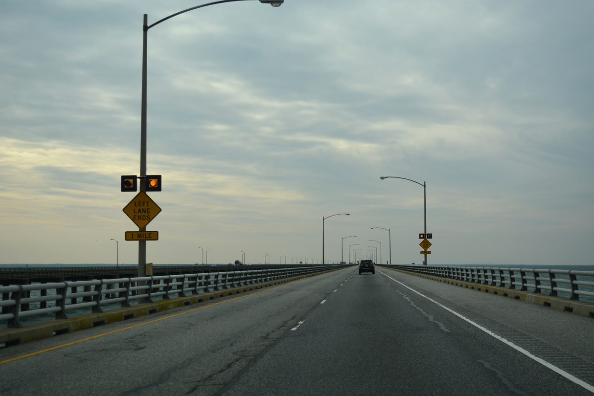
Continuing south from Treherneville, U.S. 13 reaches the town of Eastville in five miles and the Chesapeake Bay Bridge-Tunnel (CBBT) in 21 miles.
12/30/17
12/30/17
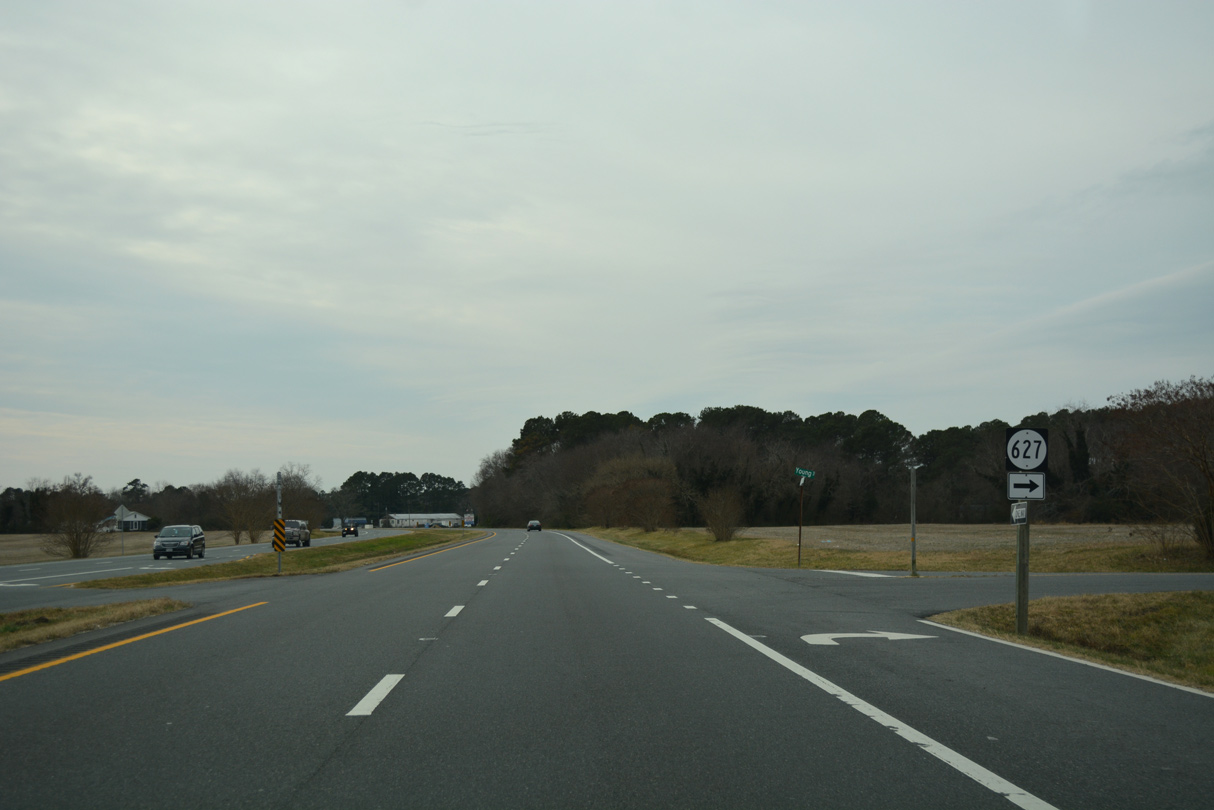
U.S. 13 (Lankford Highway) south at SR 627 (Young Street) in Machipongo.
12/30/17
12/30/17
U.S. 13 Business through Eastville comprises a 2.71 mile long loop along Courthouse Road.
12/30/17
12/30/17
12/30/17
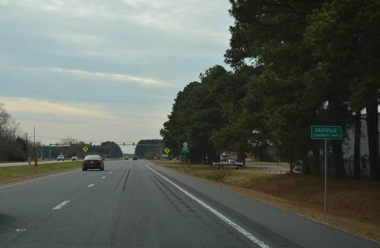
The town of Eastville is the seat of Northampton County.
12/30/17
12/30/17
U.S. 13 Business (Courthouse Road) returns to U.S. 13 from Eastville south of Stumptown.
12/30/17
12/30/17
12/30/17
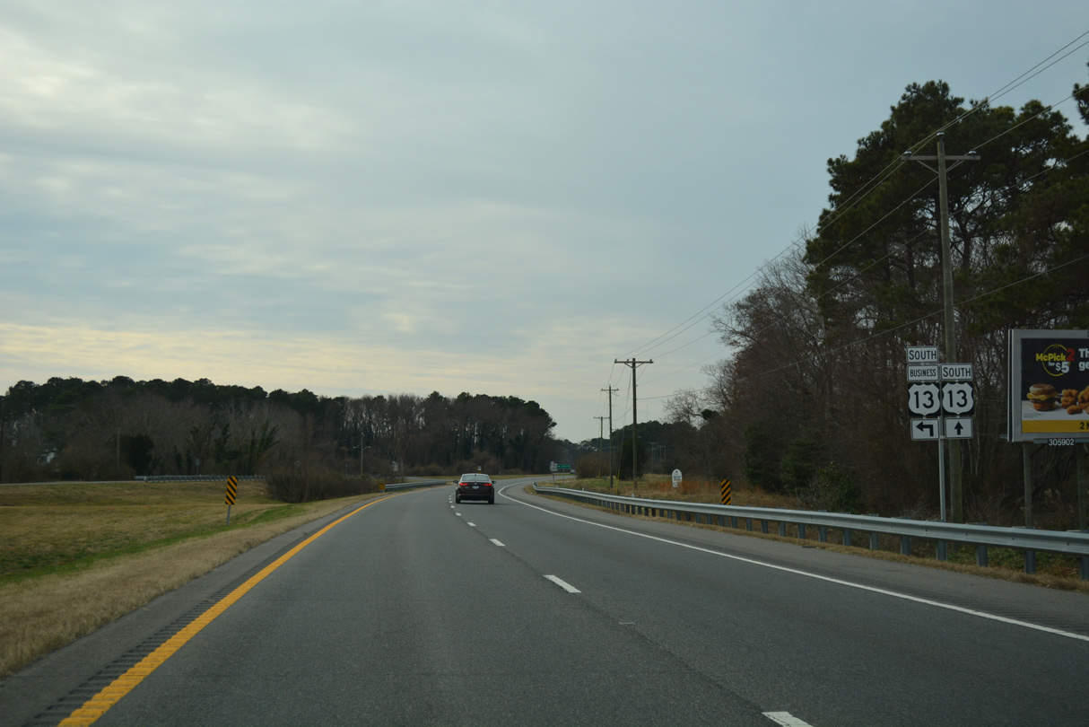
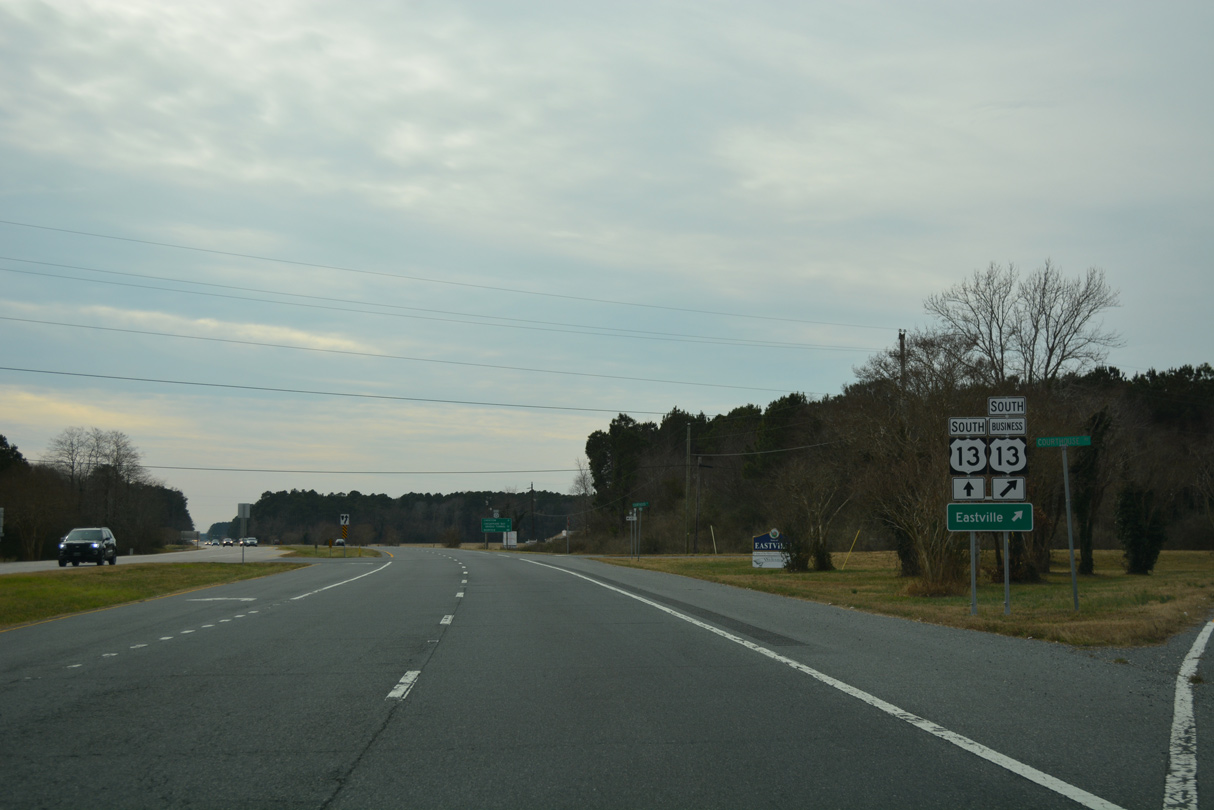
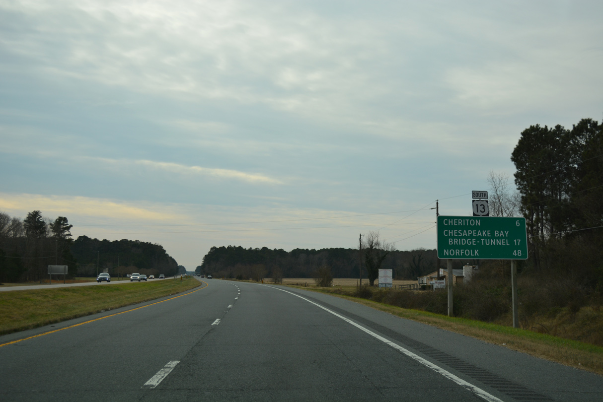
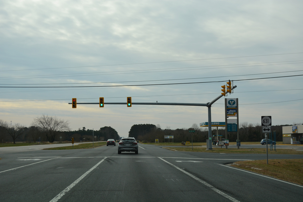
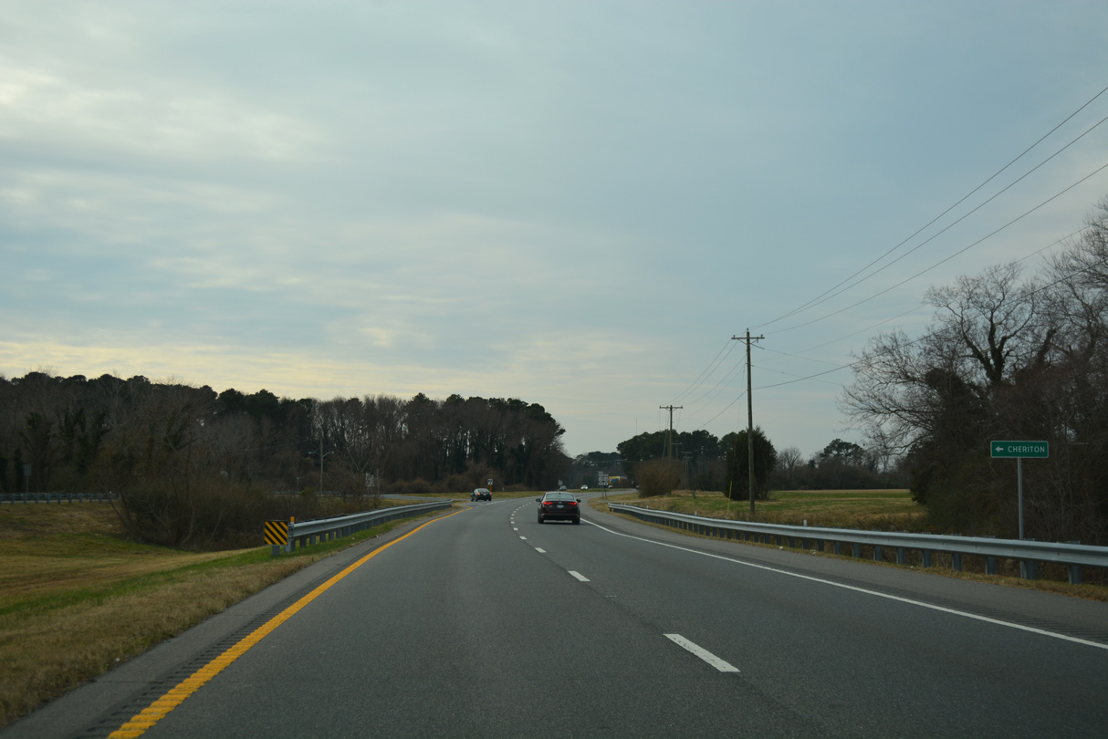
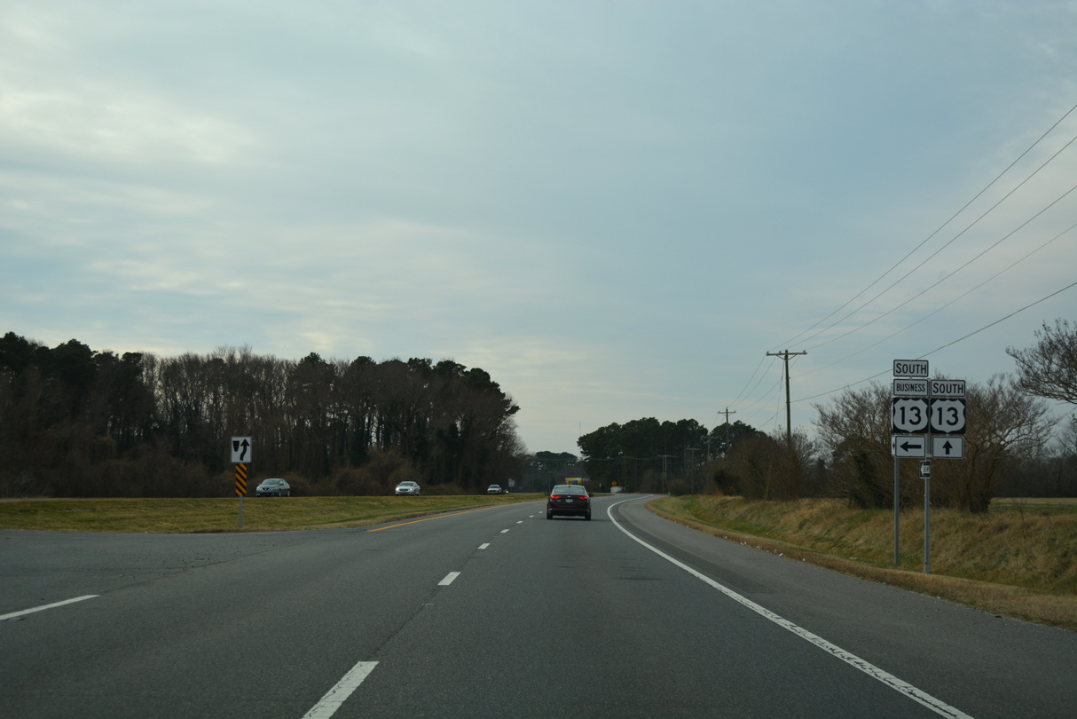
U.S. 13 Business through the town of Cheriton follows Bayside Road for 1.59 miles.
12/30/17
12/30/17
12/30/17
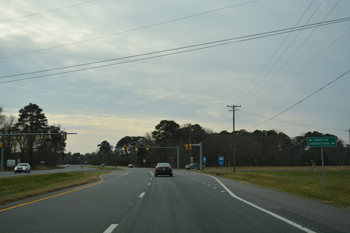
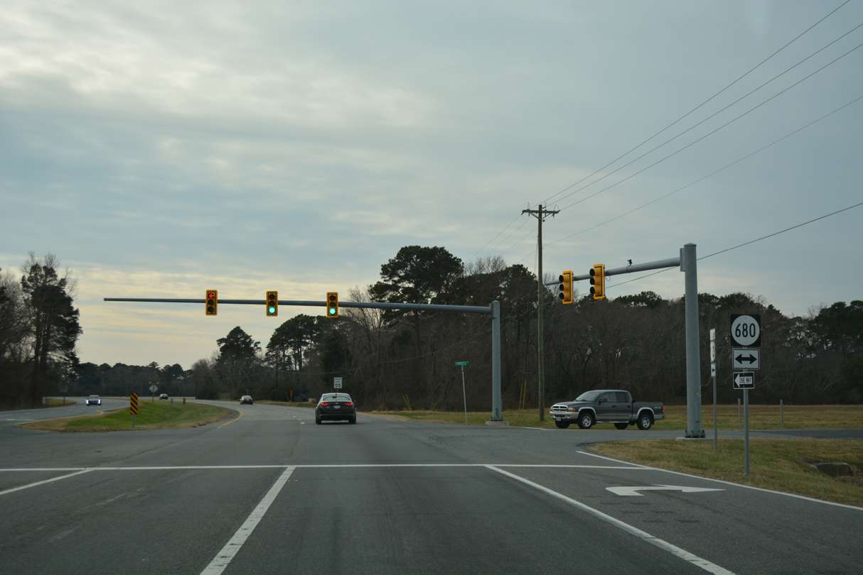
SR 680 (Townfield Drive) spurs 1.34 miles west from U.S. 13 at Cheriton to Cherrystone.
12/30/17
12/30/17
12/30/17
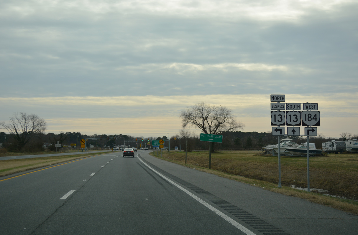
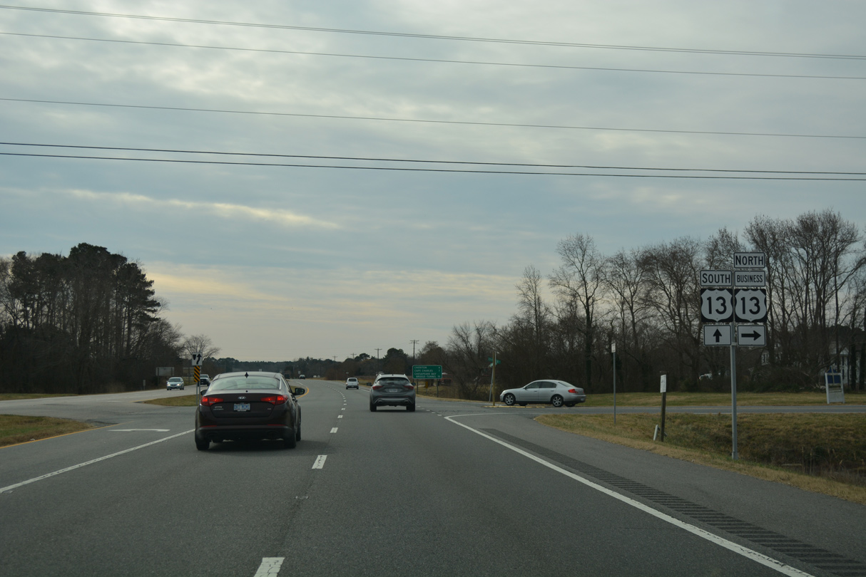
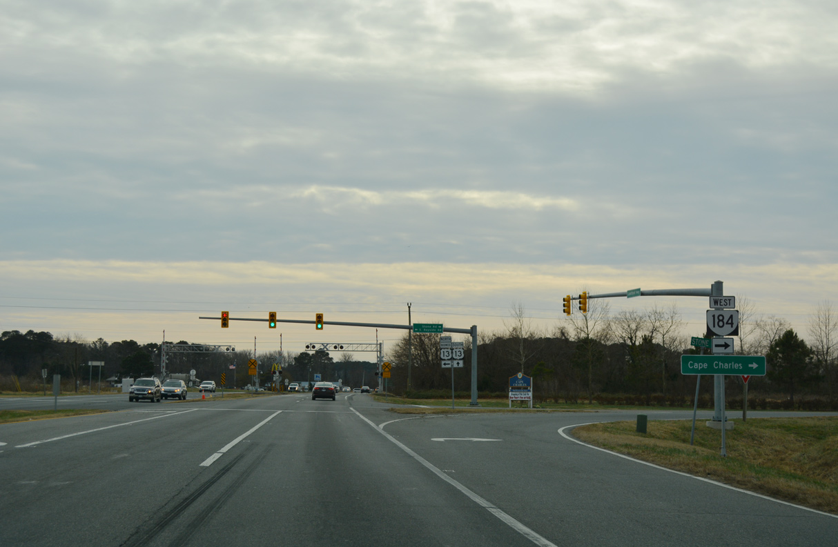
U.S. 13 Business (S Bayside Drive) south and SR 184 (Stone Road) east comes together between Bayview and Cape Junction.
12/30/17
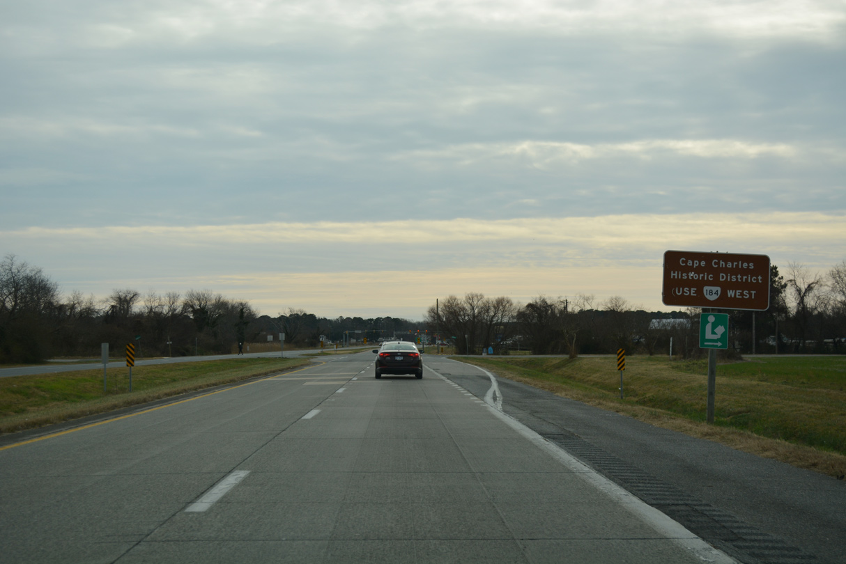
SR 184 runs west to the historic town of Cape Charles along a 3.20 mile long course to Bay and Washington Avenue along Cherrystone Channel.
12/30/17
12/30/17
12/30/17
12/30/17

SR 642 (Parsons Circle / Bayview Circle) meets U.S. 13 west at Fairview.
12/30/17

SR 643 is Plantation Drive east from U.S. 13 to Plantation and SR 600 (Seaside Road).
12/30/17
12/30/17
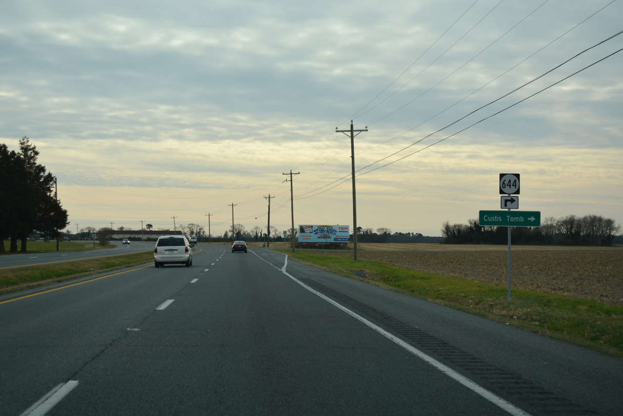
SR 644 (Arlington Road) spurs west to Arlington, where the Tomb of Custis is located.
12/30/17

12/30/17
12/30/17
12/30/17

SR 704 (Kiptopeke Drive) branches southwest from U.S. 13 (Lankford HIghway) to Kiptopeke State Park along the historic alignment of U.S. 13 to the Little Creek Ferry.
12/30/17

12/30/17
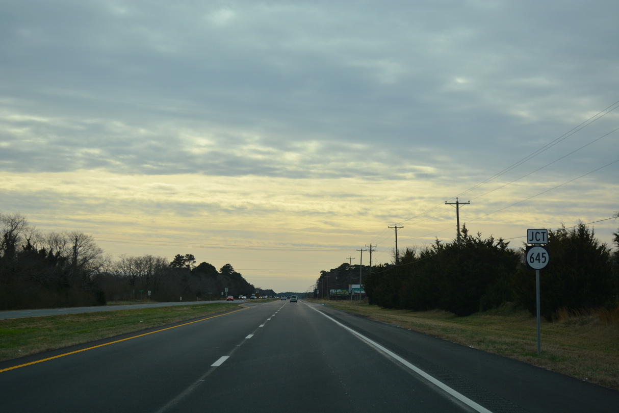
SR 645 (Cedar Grove Road) meets U.S. 13 west of Cedar Grove.
12/30/17

12/30/17
12/30/17
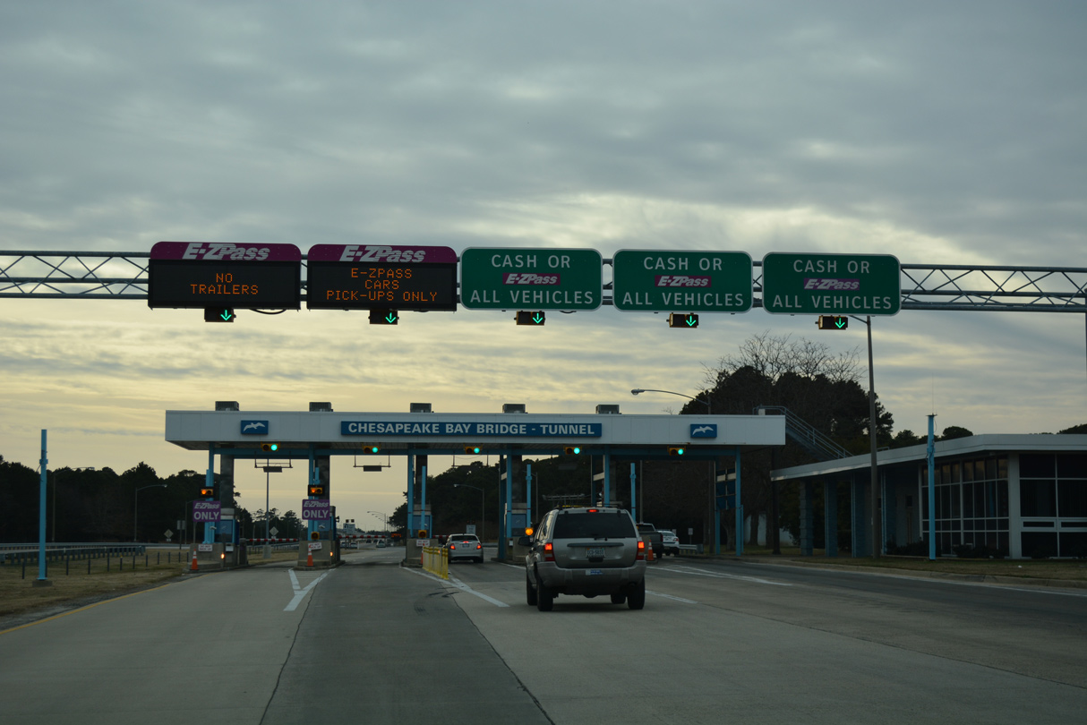
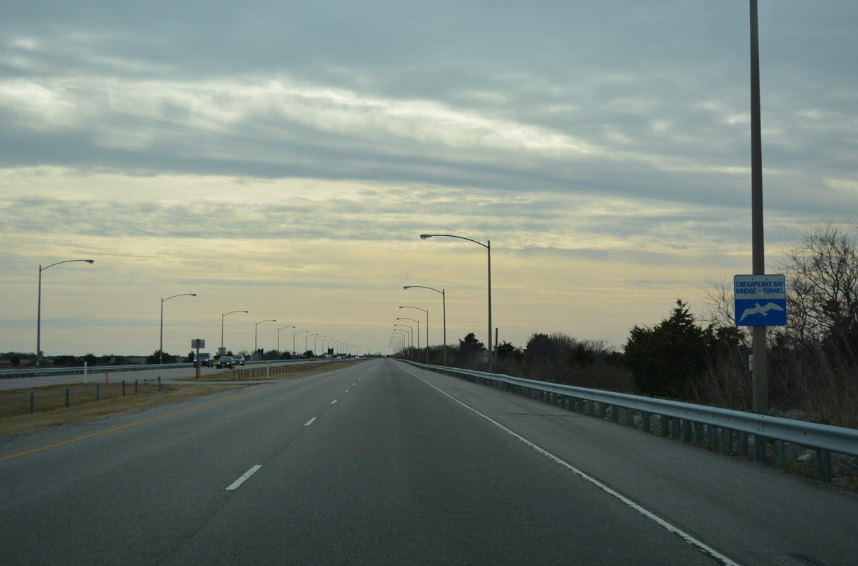
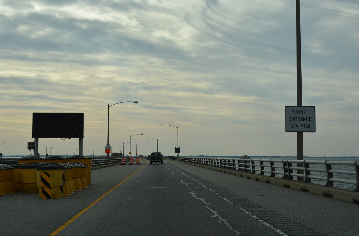
The Eastern Shore of Virginia Welcome Center and rest area precedes the Chesapeake Bay Bridge-Tunnel south of SR 600.
12/30/17
SR 600 (Seaside Road) ties into U.S. 13 from Eastern Shore National Wildlife Refuge at Kiptopeke.
12/30/17
Statistics for the CBBT bridges and tunnels were obtained from the Chesapeake Bay Bridge-Tunnel Facts page.
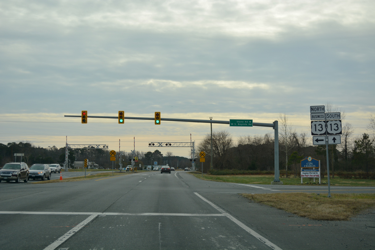
South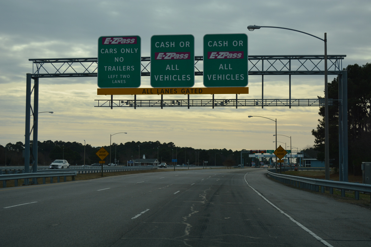
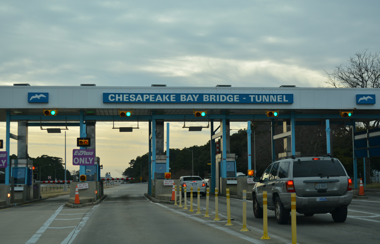
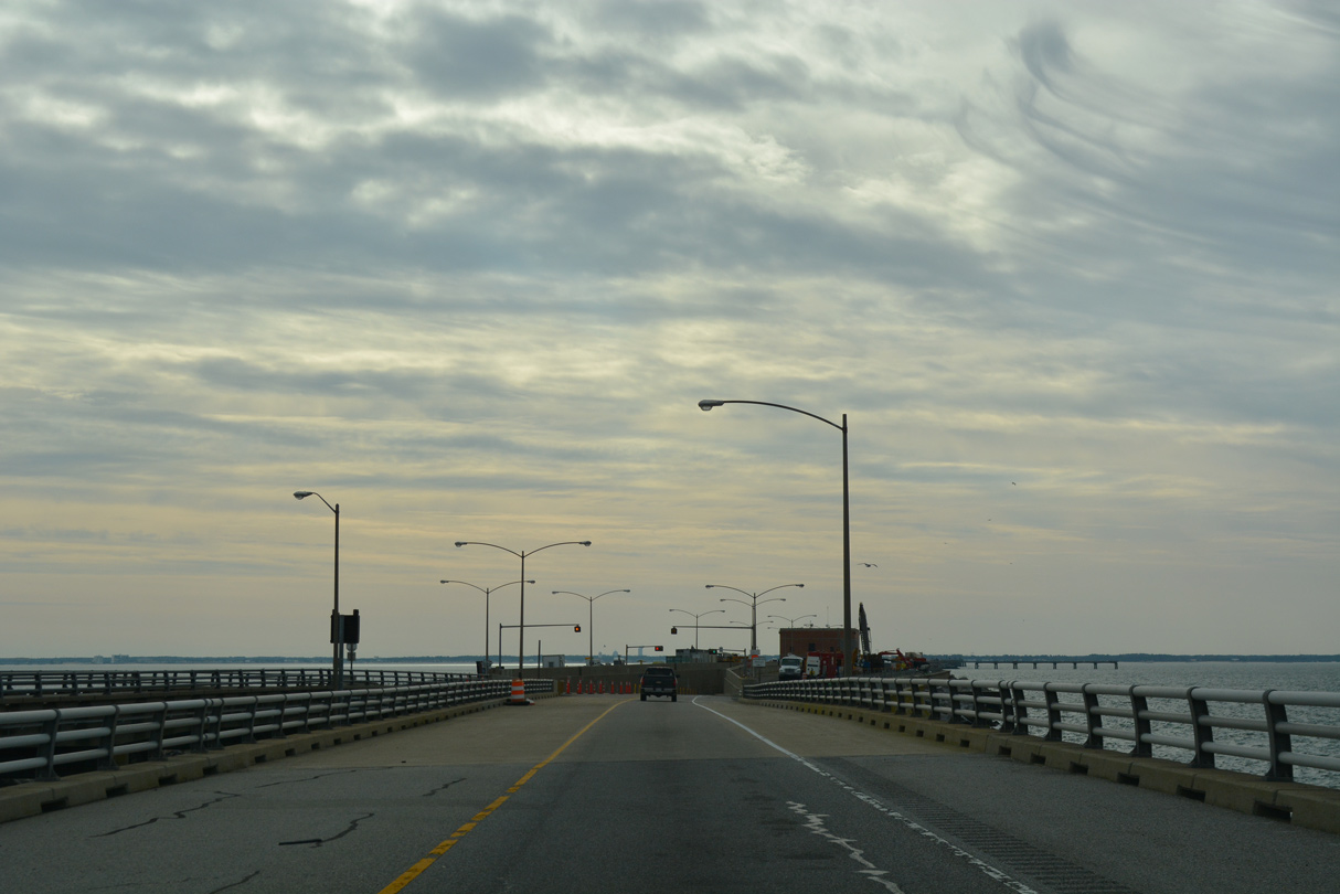
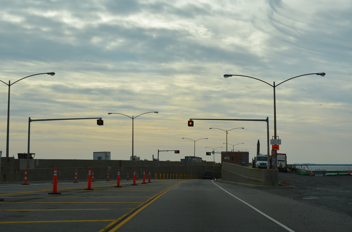
The Chesapeake Bay Bridge-Tunnel (CBBT) Toll Plaza lies just south of SR 600 (Wise Point Lane)a cross from the Eastern Shore of Virginia Welcome Center.
12/30/17
Increased toll rates are levied during peak season, from May 15 to September 15.
12/30/17
12/30/17
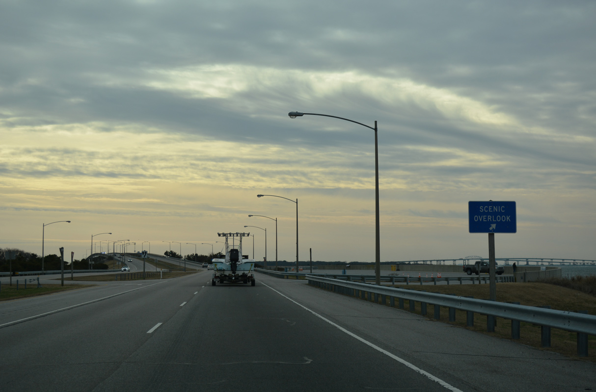
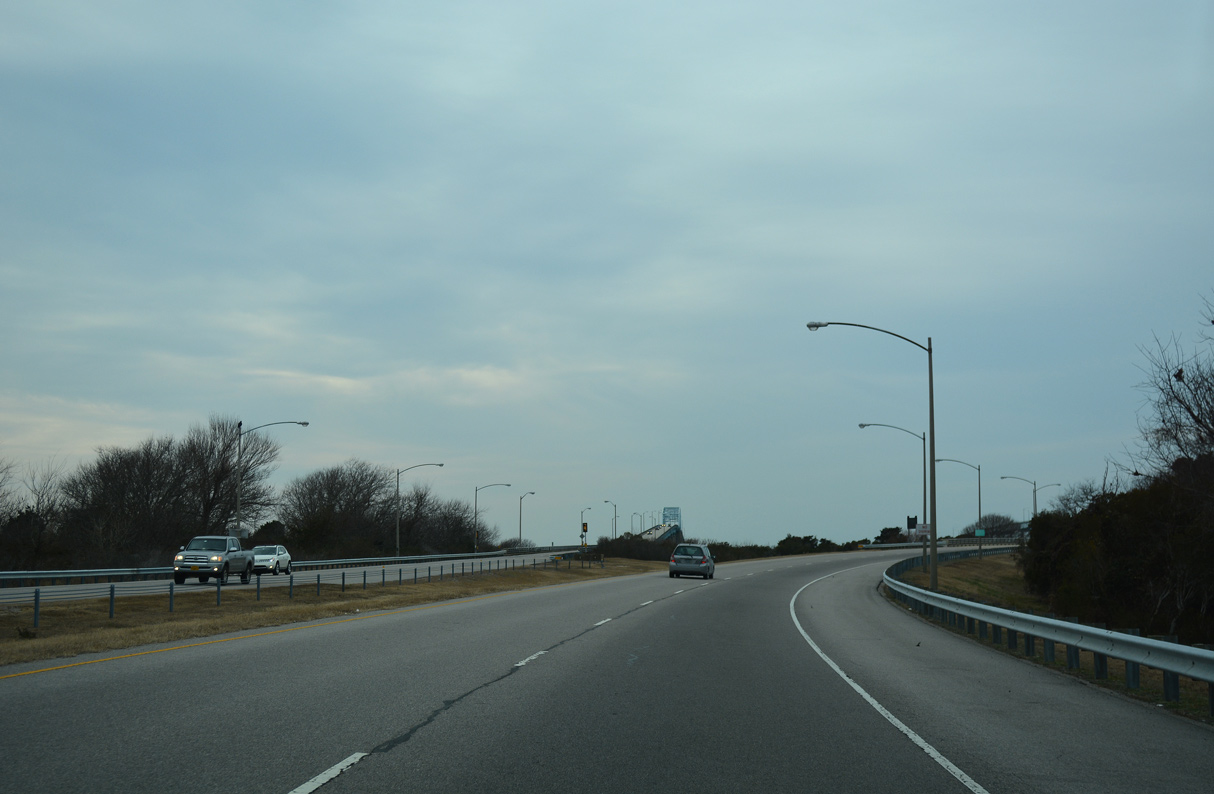
A scenic overlook lines the west side of U.S. 13 at the south end of Cape Charles near Wise Point.
12/30/17
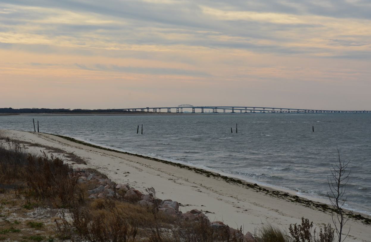
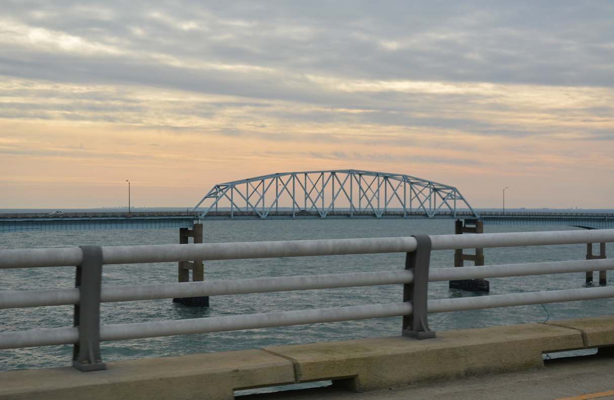
The North Channel Bridges on the CBBT and high rises from Norfolk appear along the southern horizon from Wise Point.
12/30/17
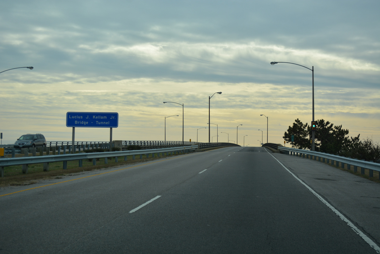
The CBBT is officially the Lucius J. Kellam, Jr. Bridge-Tunnel.
12/30/17
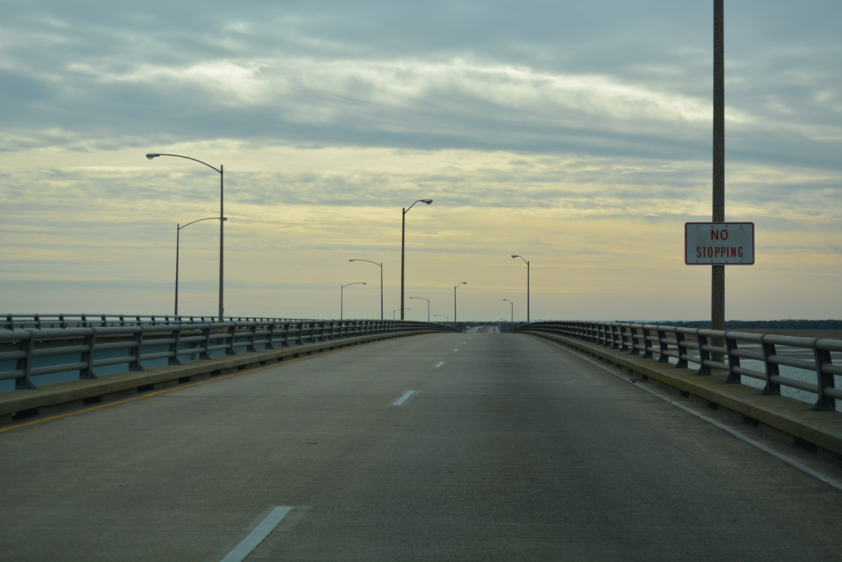
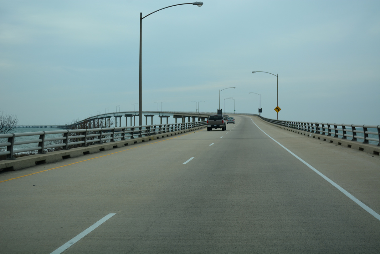
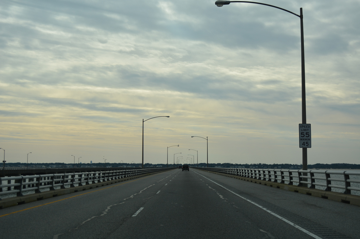
U.S. 13 rises to 40 feet across the Fisherman Inlet Bridge.
12/30/17
The southbound span across Fishermans Inlet is 460 feet in length, three feet longer than the northbound bridge.
12/30/17
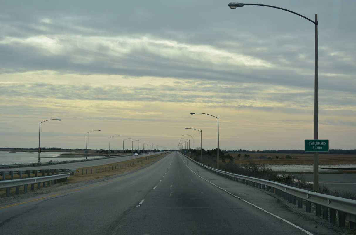
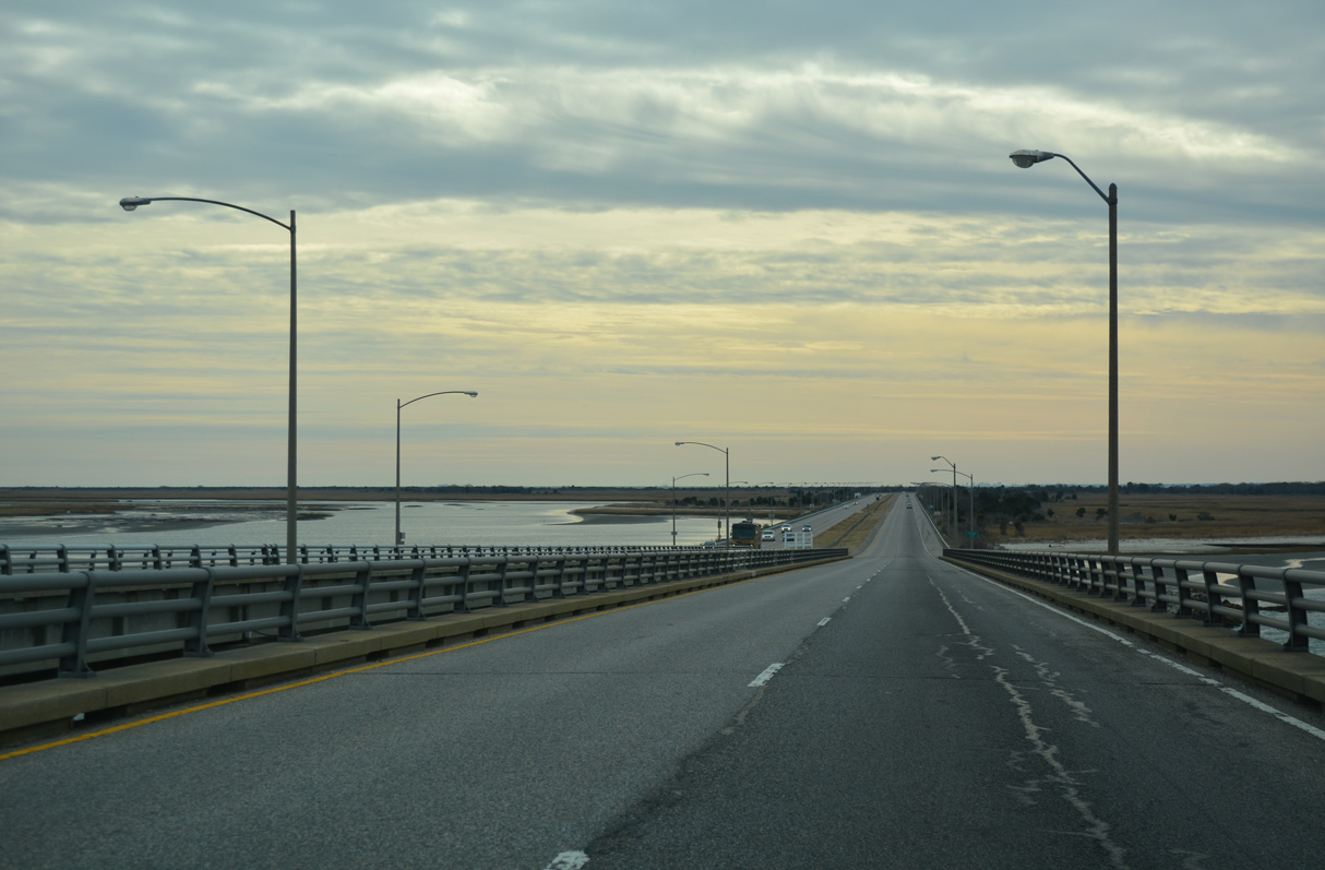
U.S. 13 lowers onto a causeway across Fishermans Island and Fisherman Island National Wildlife Refuge.
12/30/17
12/30/17
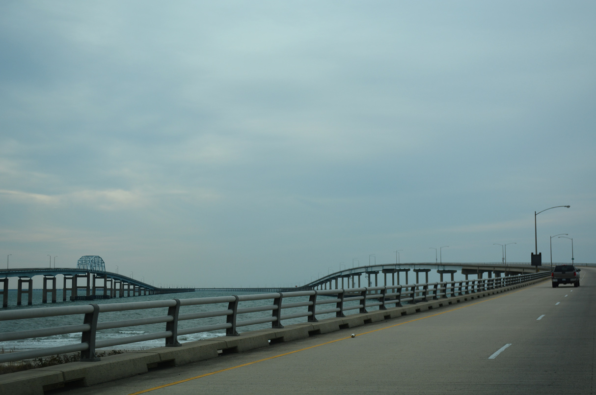
Curving southwest from Fishermans Island, the roadways of U.S. 13 separate for the high rise spans across North Channel.
12/30/17
3,100 feet in length, the southbound bridge across North Channel crests at 75 feet above the waters of Chesapeake Bay.
12/30/17
12/30/17
12/30/17
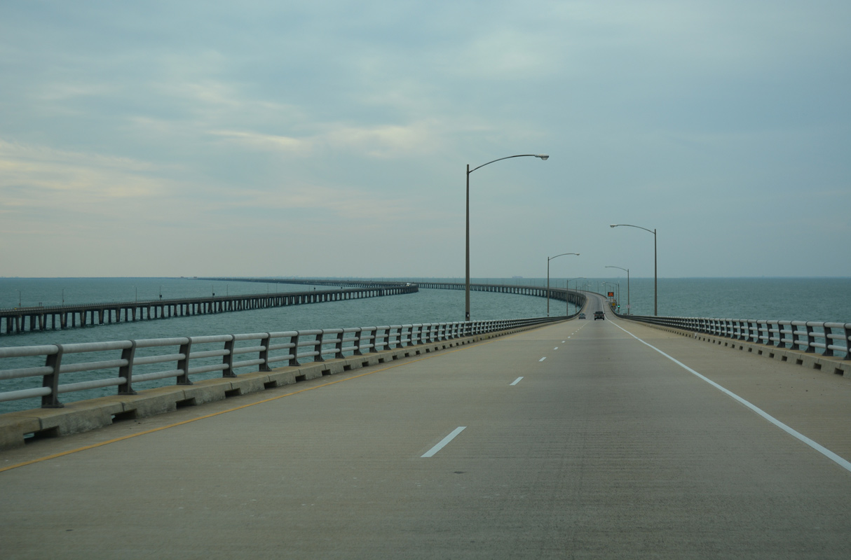
The northbound span across North Channel also rises to a vertical clearance of 75 feet.
12/30/17
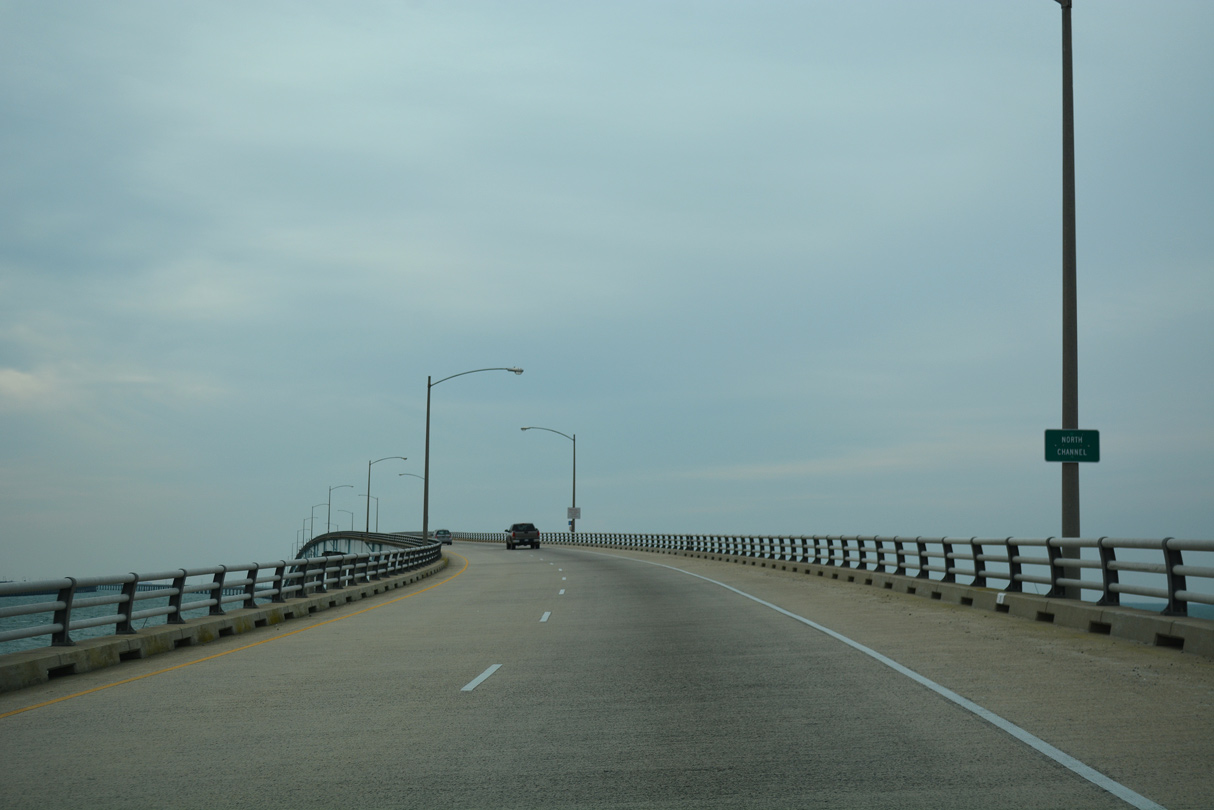
The CBBT shifts westward from the North Channel Bridge ahead of Nine Foot Shoal.
12/30/17
12/30/17

The CBBT uses a separate milepost system from U.S. 13's distance to the North Carolina state line.
12/30/17
The CBBT bee lines southwest toward Chesapeake Channel.
12/30/17
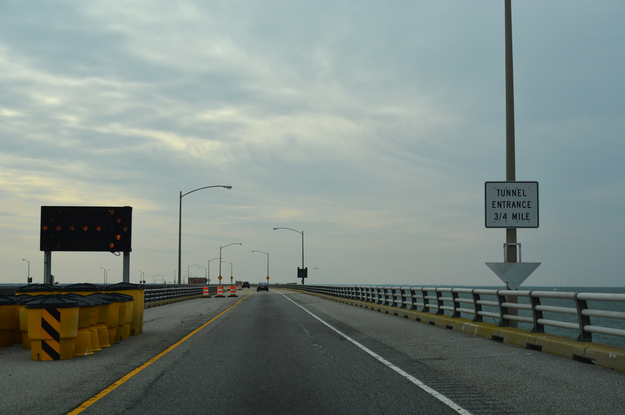
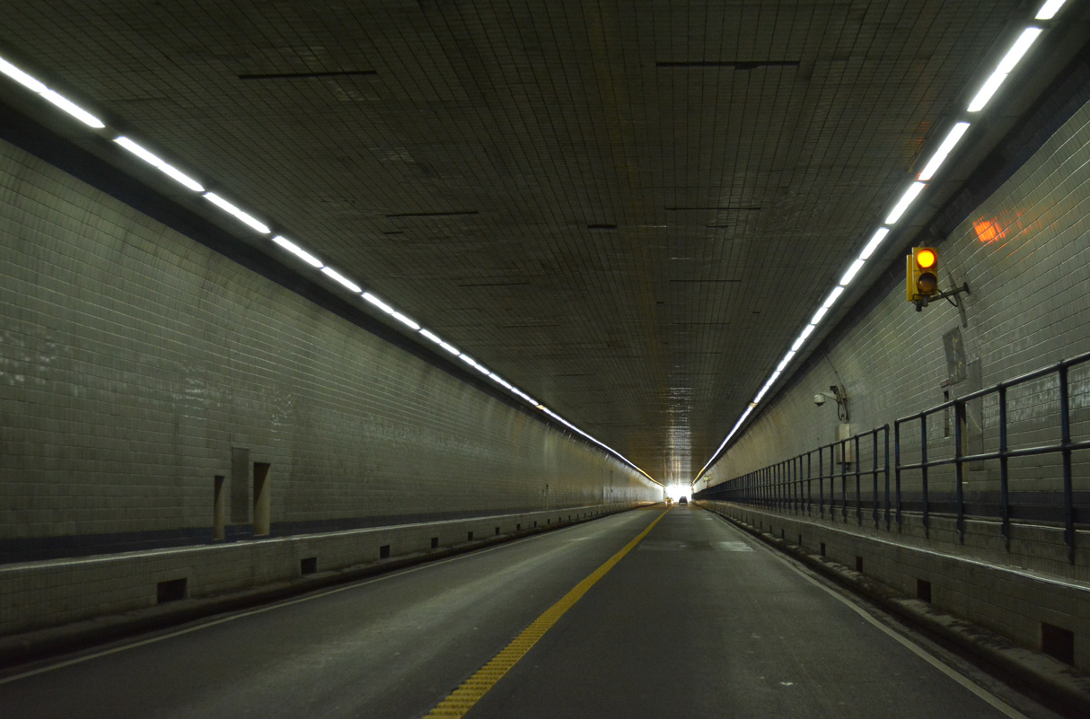
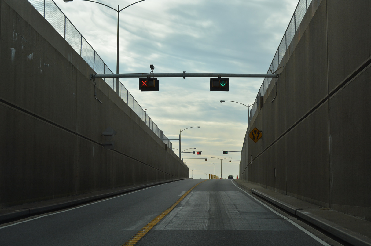
A lane drop occurs along U.S. 13 south at Island 4 for the Chesapeake Channel Tunnel.
12/30/17

12/30/17
12/30/17

12/30/17
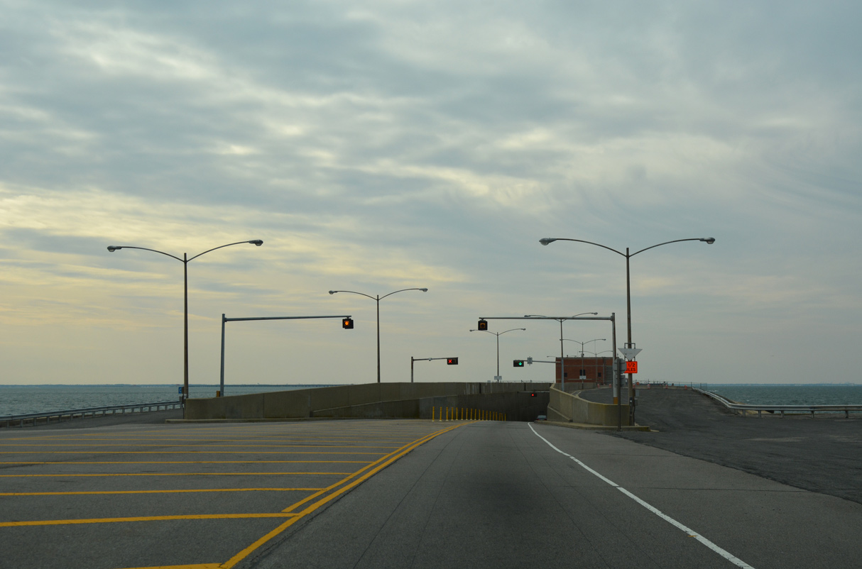
The roadways of U.S. 13 converge on a manmade island preceding the Chesapeake Channel Tunnel.
12/30/17

12/30/17
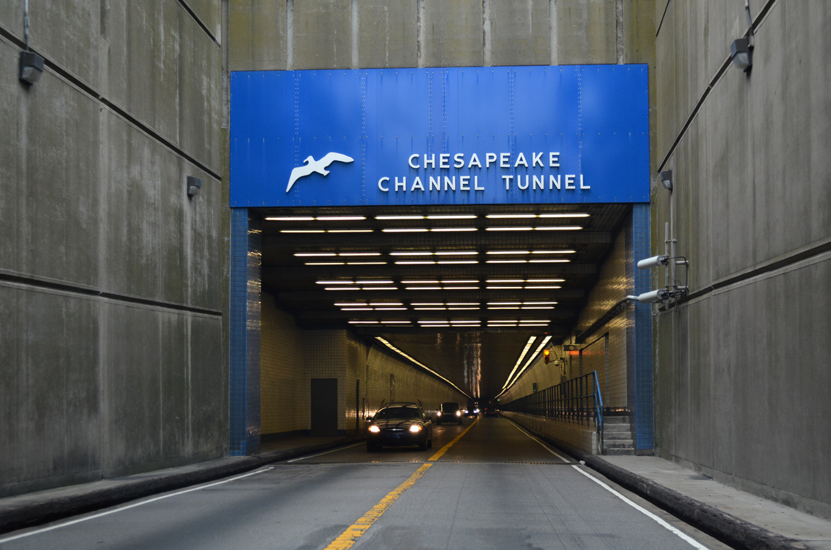
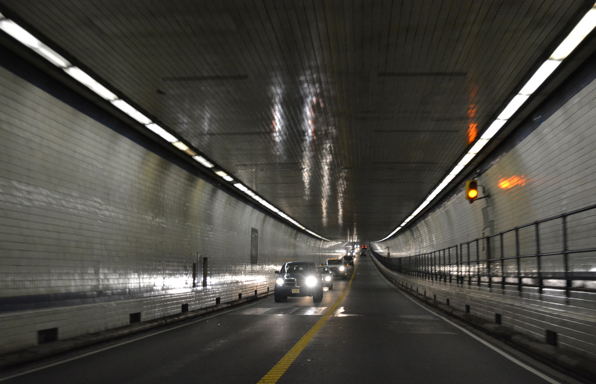
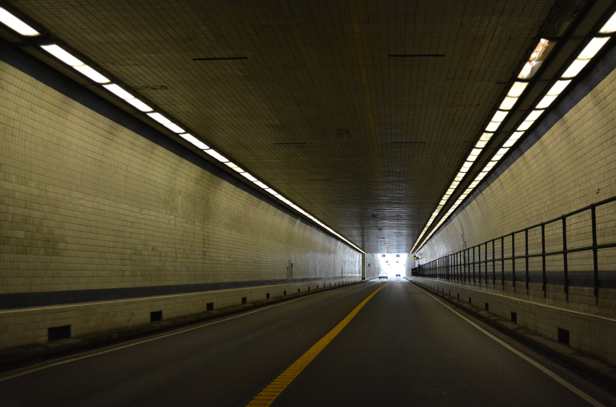
The Chesapeake Channel Tunnel is 5,237 feet in length.
12/30/17
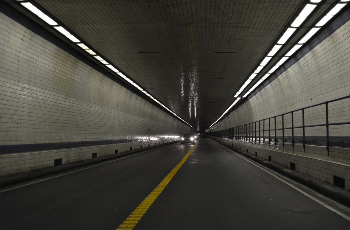
The Chesapeake Channel Tunnel is 24 feet wide with a 13 foot 6 inch clearance.
12/30/17
12/30/17
12/30/17
12/30/17
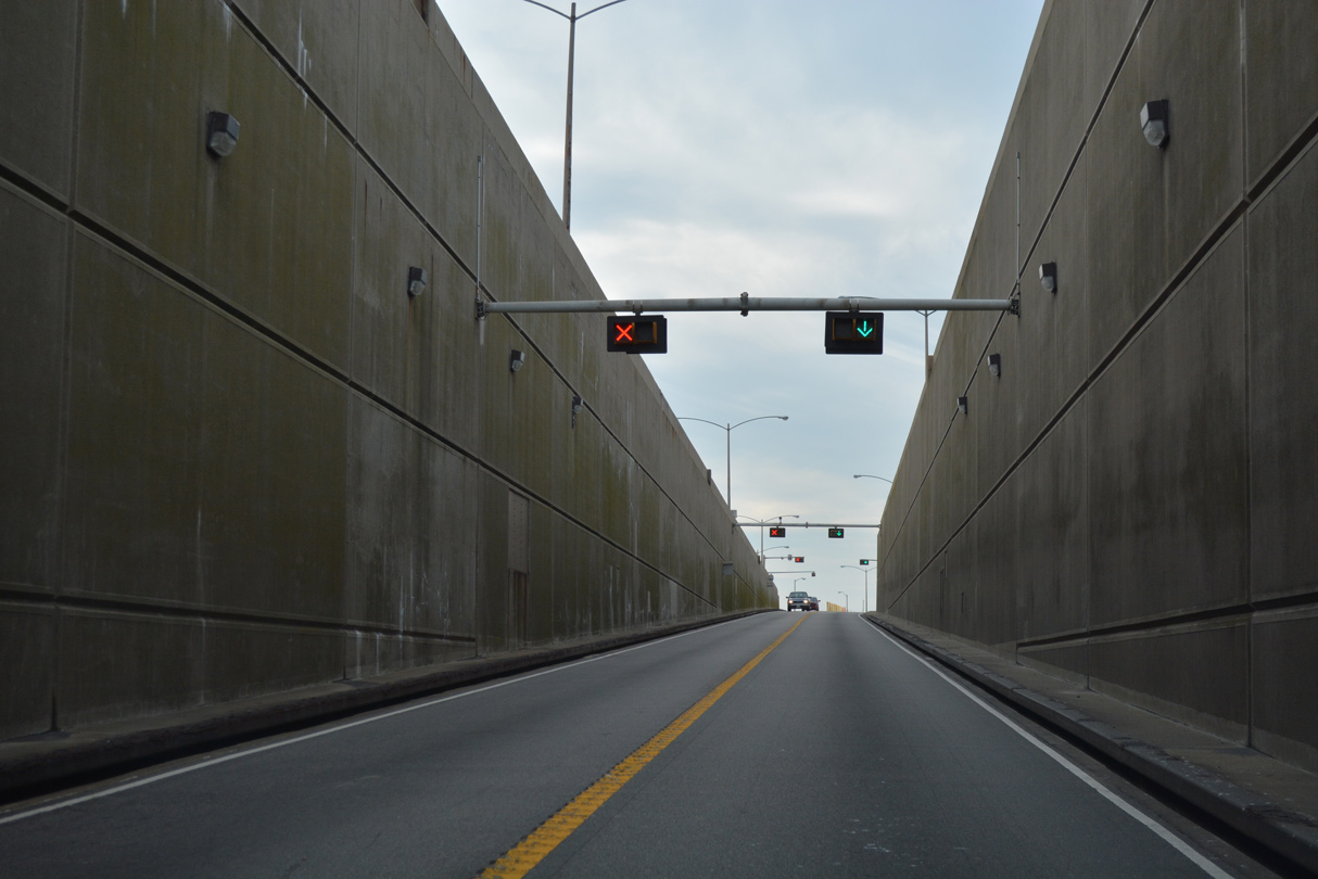
U.S. 13 southbound emerges on Island 3.
12/30/17

12/30/17

12/30/17
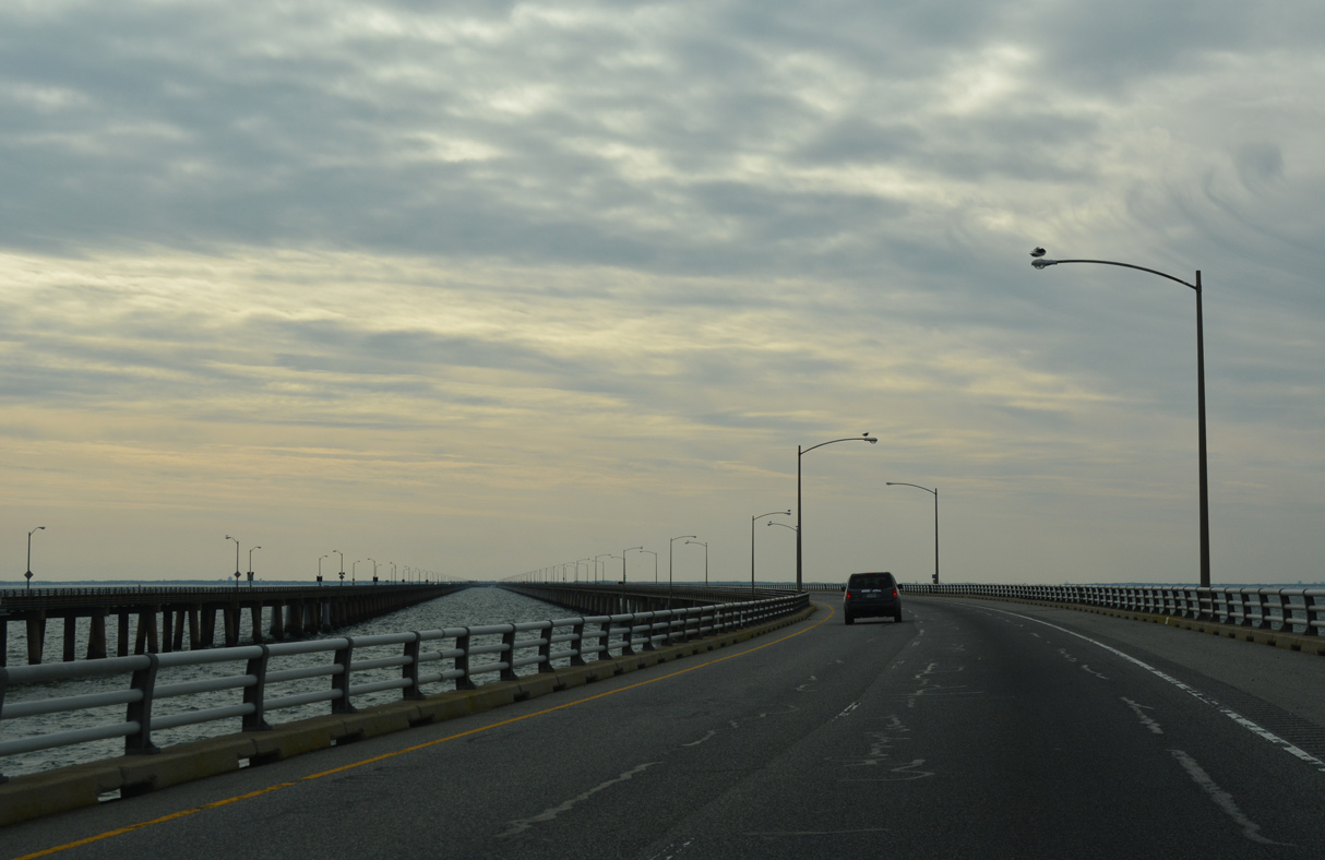
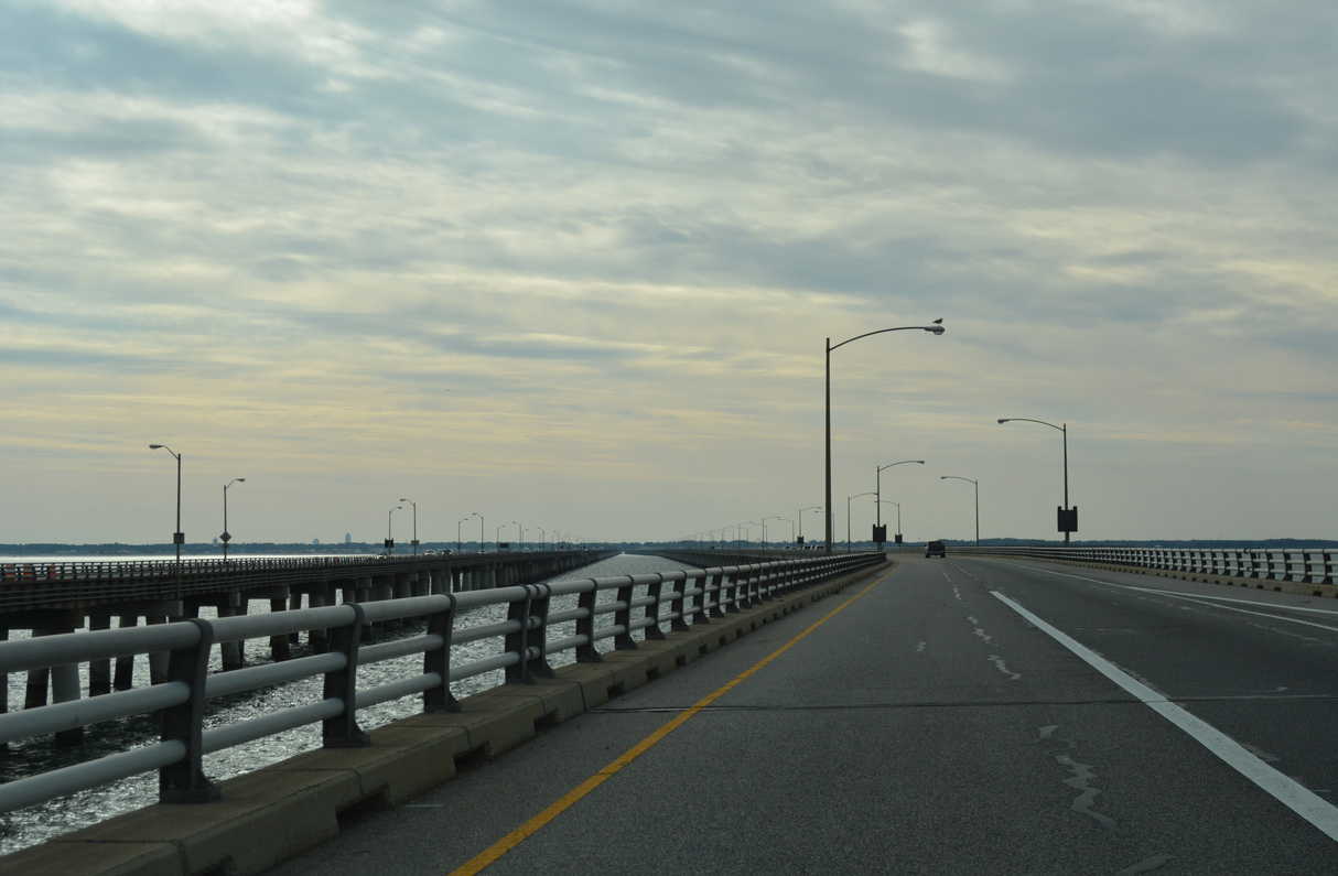
The CBBT turns southward across Chesapeake Bay by the Tail of the Horseshoe.
12/30/17

12/30/17
U.S. 13 reduces to a single southbound lane again leading to North Thimble Island.
12/30/17
12/30/17
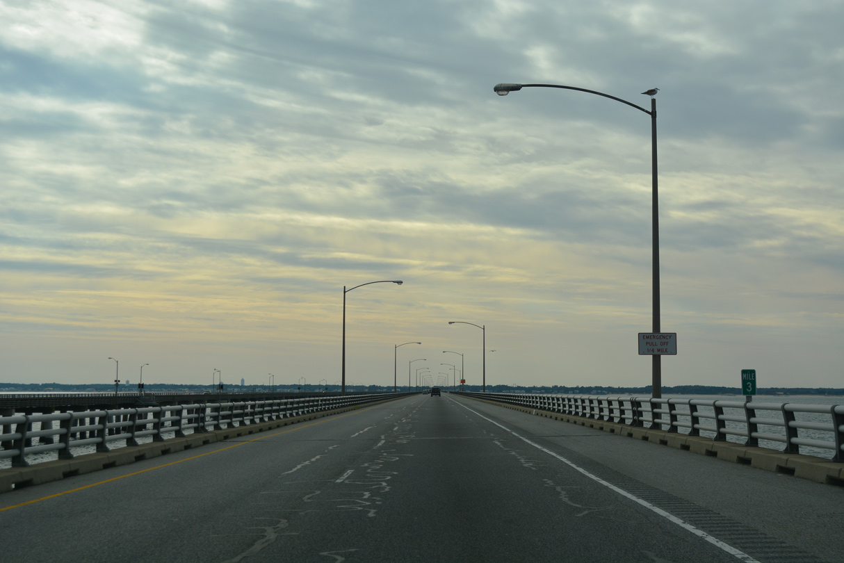
Sea Gulf Fishing Pier comes into view in the distance from South Thimble Island.
12/30/17
12/30/17
12/30/17
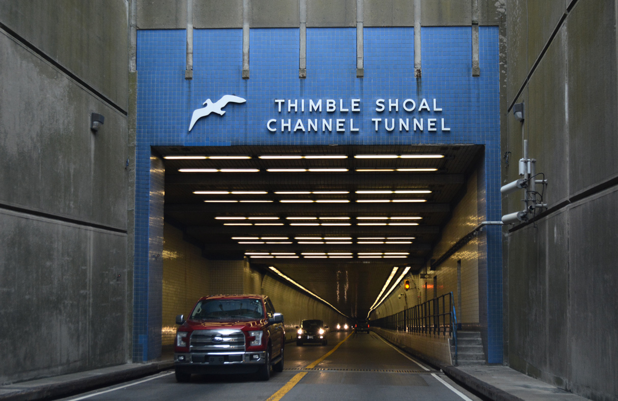
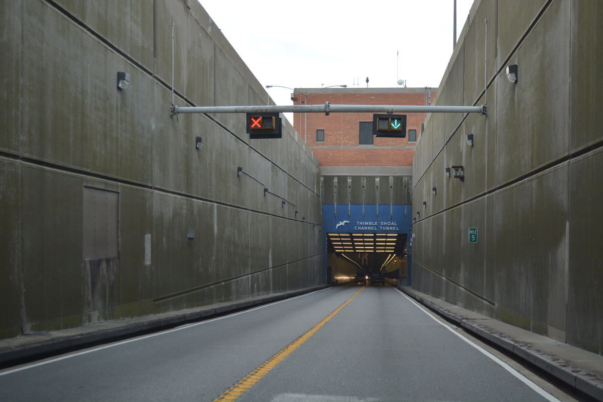
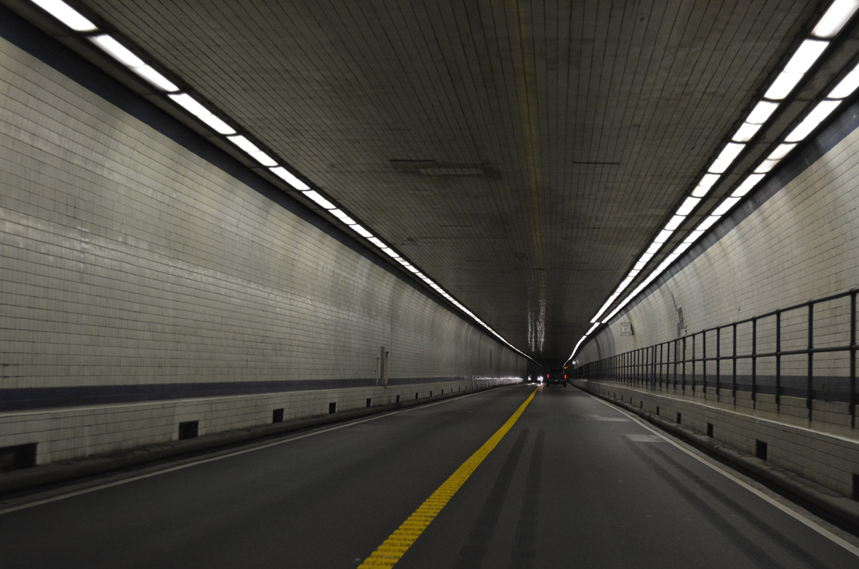
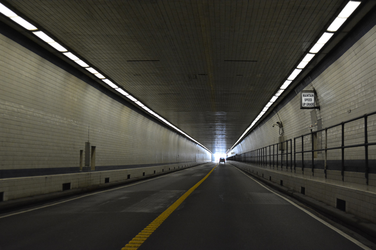
Thimble Shoal Channel is a 5,552 foot in length between portals.
12/30/17
12/30/17
12/30/17
12/30/17
South Thimble Island was formerly the location of Sea Gull Restaurant and rest areas along both sides of U.S. 13.
12/30/17
The CBBT bridges diverge south of South Thimble Island.
12/30/17
12/30/17
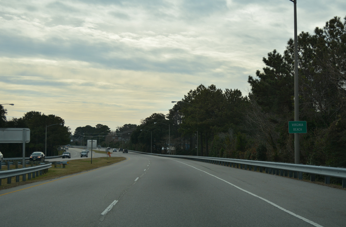
U.S. 13 advances south to Chesapeake Beach in the city of Virginia Beach.
12/30/17
12/30/17
The south end of the CBBT spans Lookout Road and Chesapeake Beach Park ahead of the Powells Point community in Virginia Beach.
12/30/17
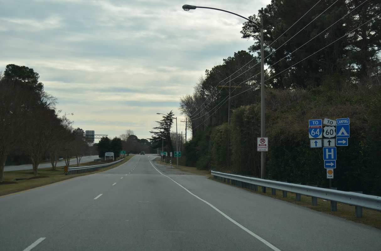
U.S. 13 shifts eastward by Lake Joyce to a diamond interchange with U.S. 60 (Shore Drive) between Bayside and the Bayville Park neighborhood.
12/30/17
12/30/17
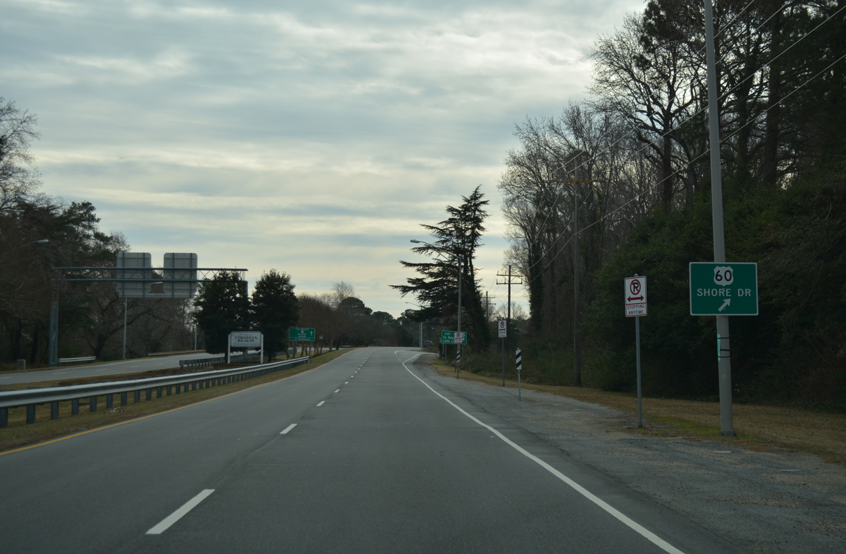
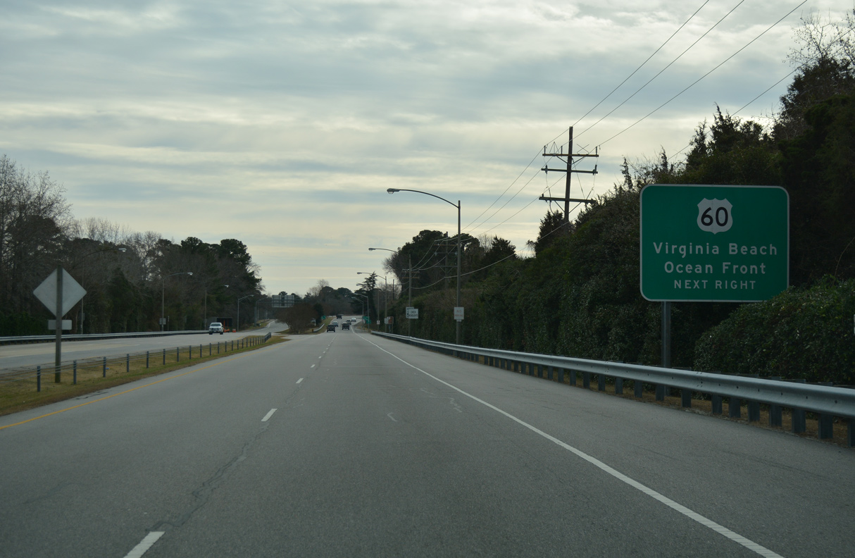
U.S. 60 runs along the south shore of Chesapeake Bay from Ocean View west to Willoughby Spit and east from Ocean Park to Fort Story.
12/30/17
The east end of U.S. 60 is located south of the Virginia Beach Oceanfront at Rudee Island. U.S. 60 (Shore Drive) heads west to Joint Expeditionary Base (JEB) Little Creek - Fort Story and Little Creek.
12/30/17
South
U.S. 13 (Northampton Boulevard ) curves west from the CBBT at U.S. 60 (Shore Drive) to the signalized intersection with Pleasure House Road.
12/30/17
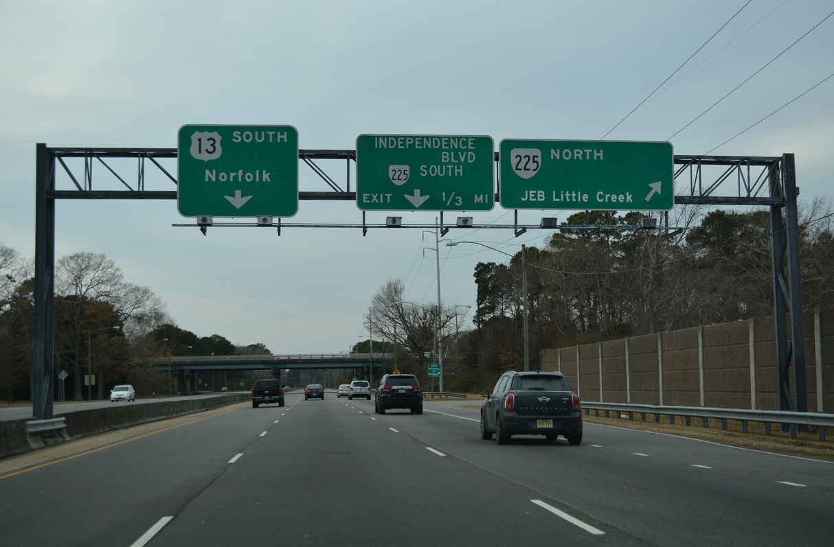
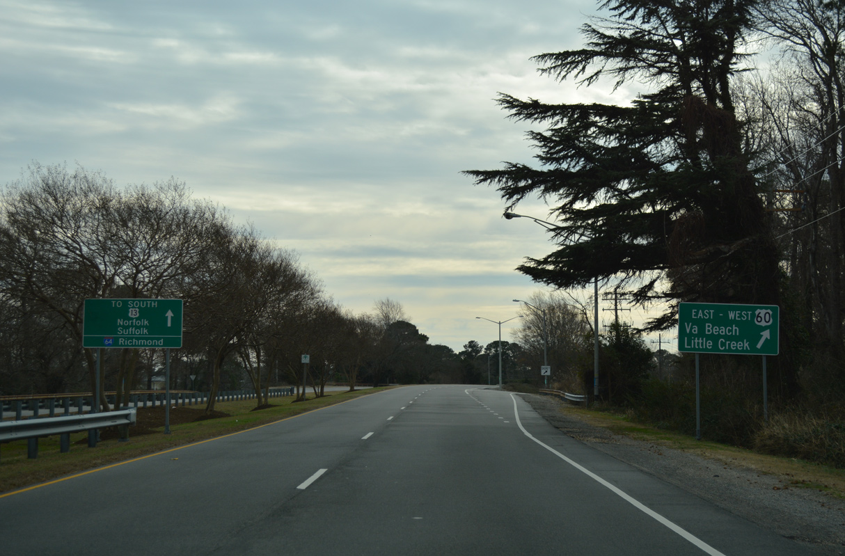
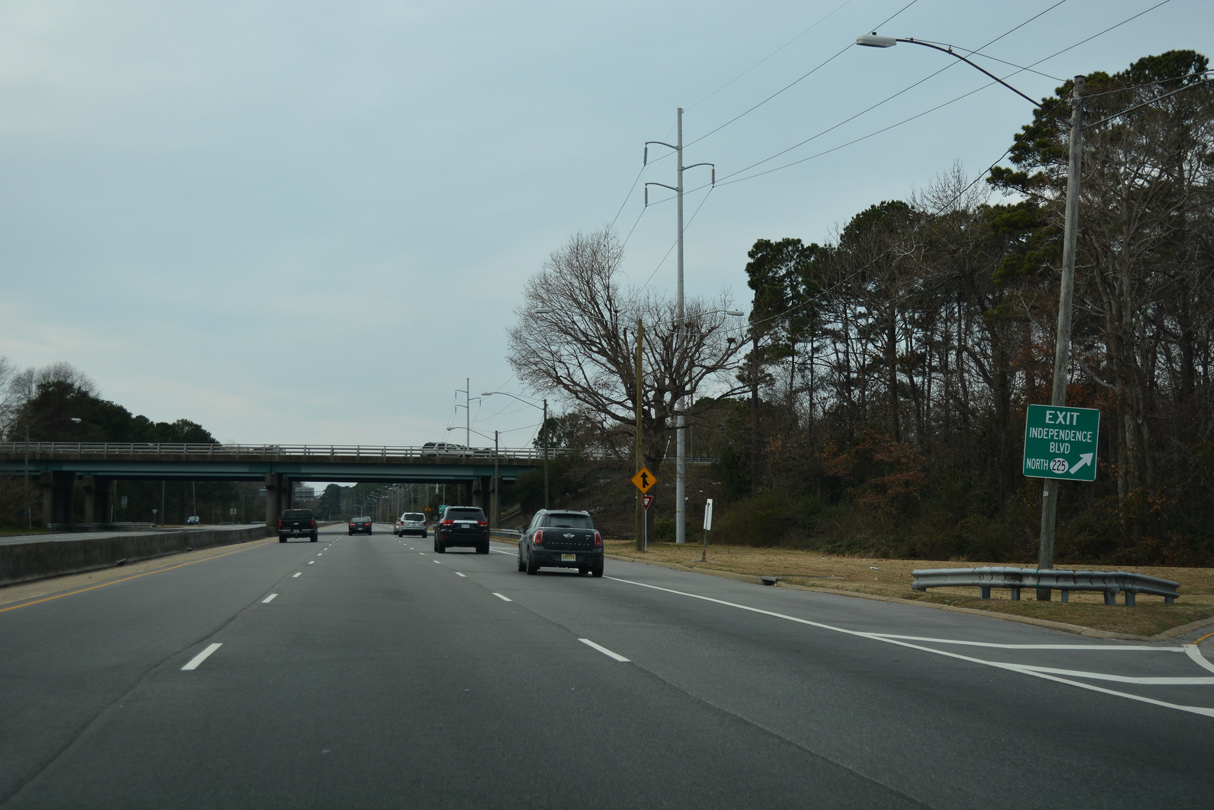
U.S. 13 (Northampton Boulevard) south enters a cloverleaf interchange with SR 225 (Independence Boulevard) west of Pleasure House Road. SR 225 is an arterial route north to SR 60 (Shore Drive) at JEB Little Creek Gate 5.
12/30/17
12/30/17
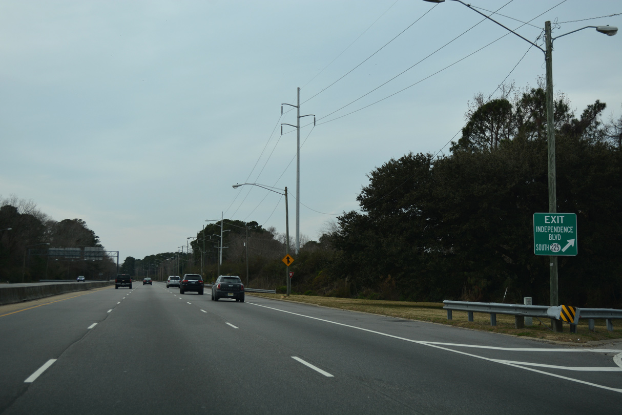
SR 225 (Independence Boulevard) continues south from U.S. 13 to U.S. 58 (Virginia Beach Boulevard), I-264, Salem and SR 407 (Indian River Road) by Stumpy Lake.
12/30/17
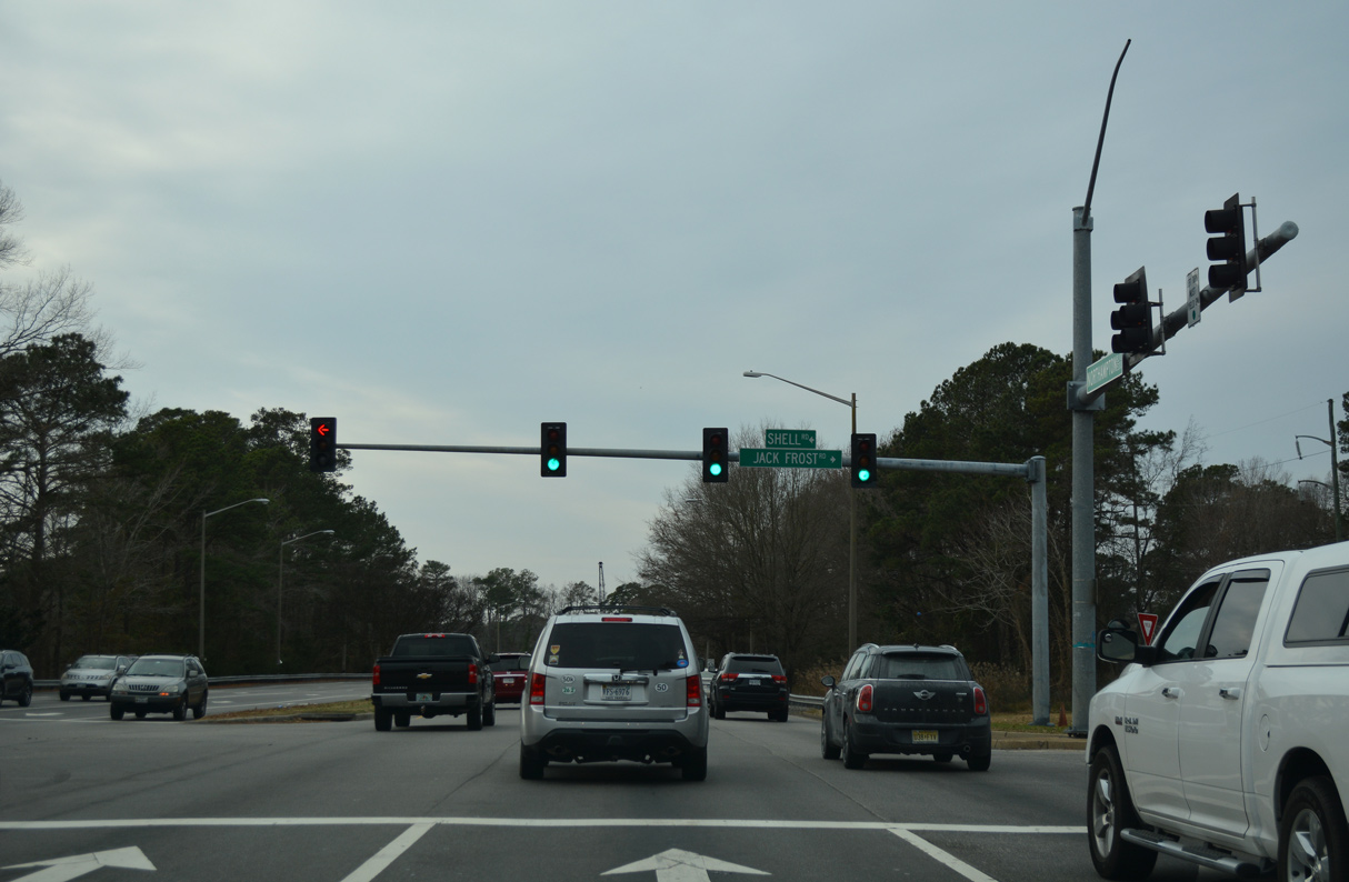
U.S. 13 crosses a causeway separating Little Creek Reservoir and Lake Smith ahead of Shell Road.
12/30/17
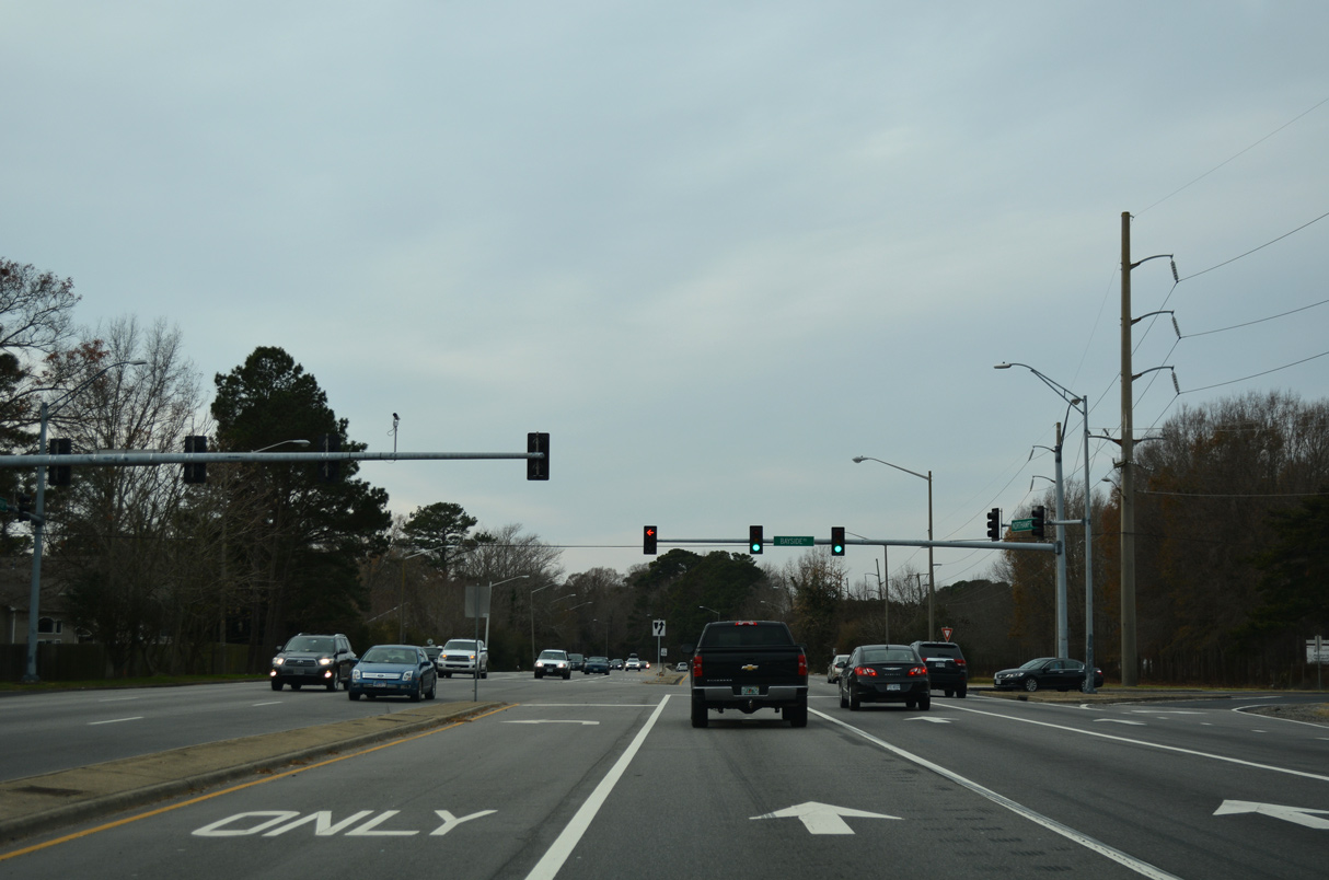
Bayside Road provides a cutoff from U.S. 13 (Northampton Boulevard) south to SR 166 (Diamond Springs Road), 0.65 miles to the northwest.
12/30/17
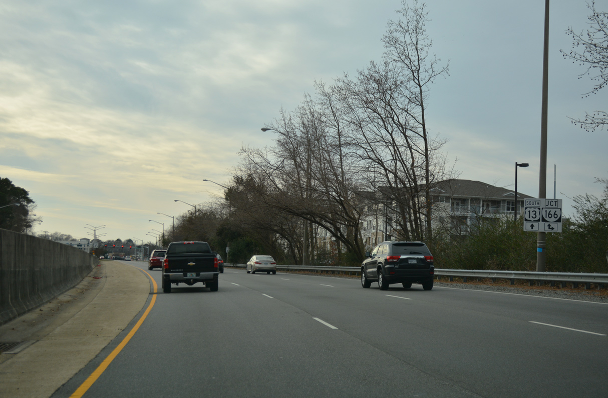
SR 166 (Diamond Springs Road) stems 1.32 miles south from U.S. 60 (Shore Drive) to combine with U.S. 13 (Northampton Boulevard).
12/30/17
Diamond Springs Road continues 2.07 miles south from U.S. 13/SR 166 to Newtown Road (SR 402).
12/30/17
South 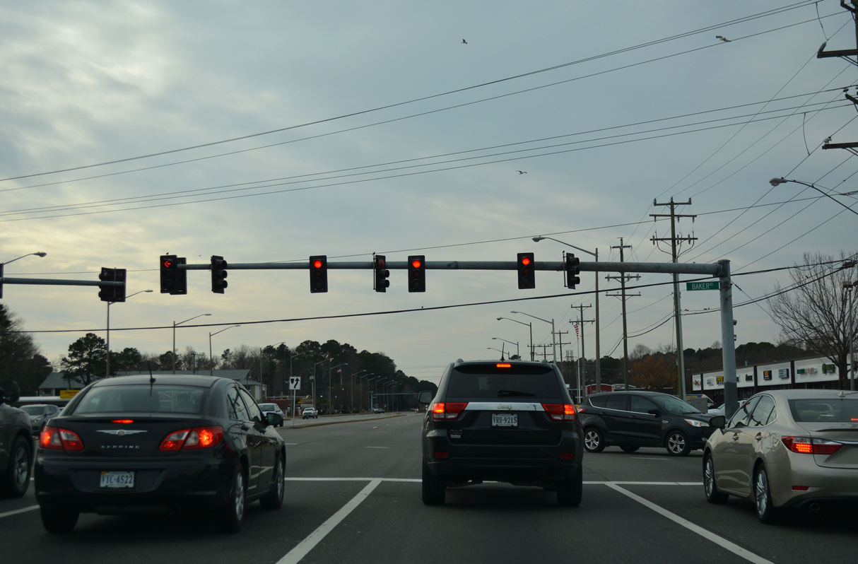
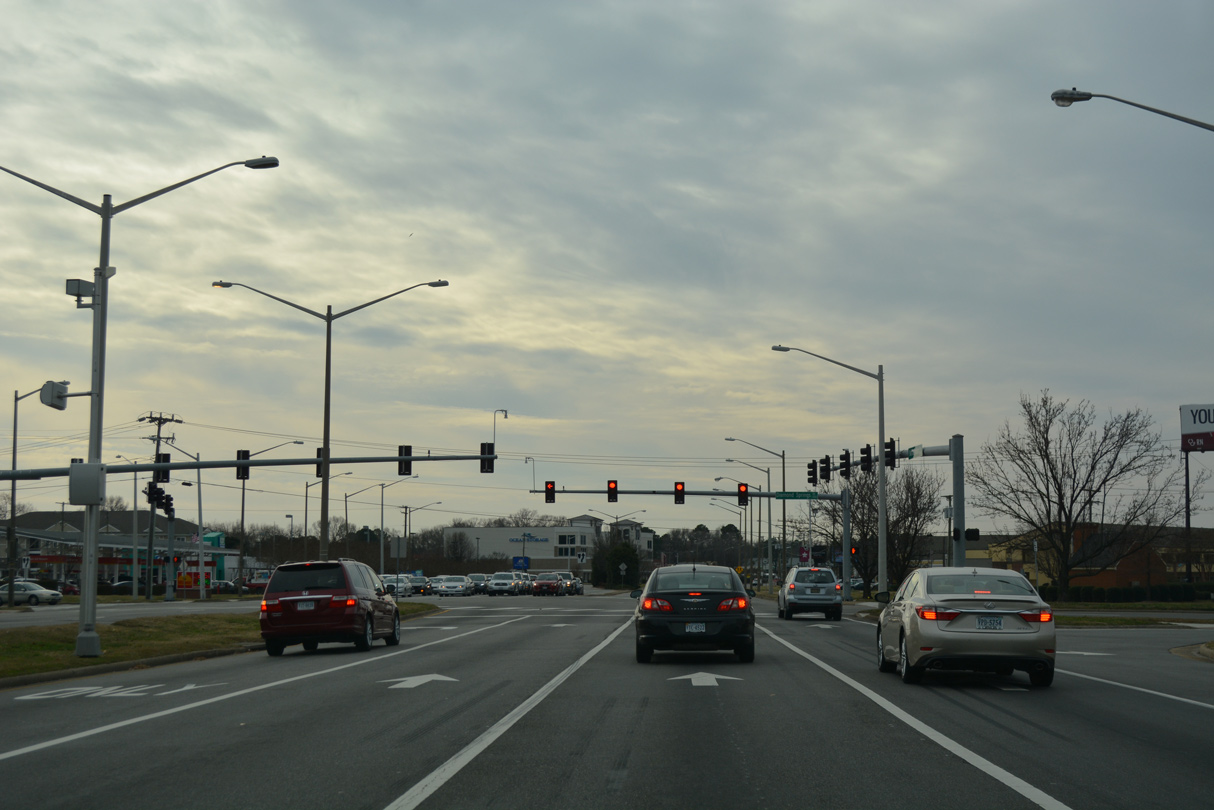
U.S. 13/SR 166 (Northampton Boulevard) intersect Baker Road just west of Middleton and north of Diamond Lake Estates.
12/30/17
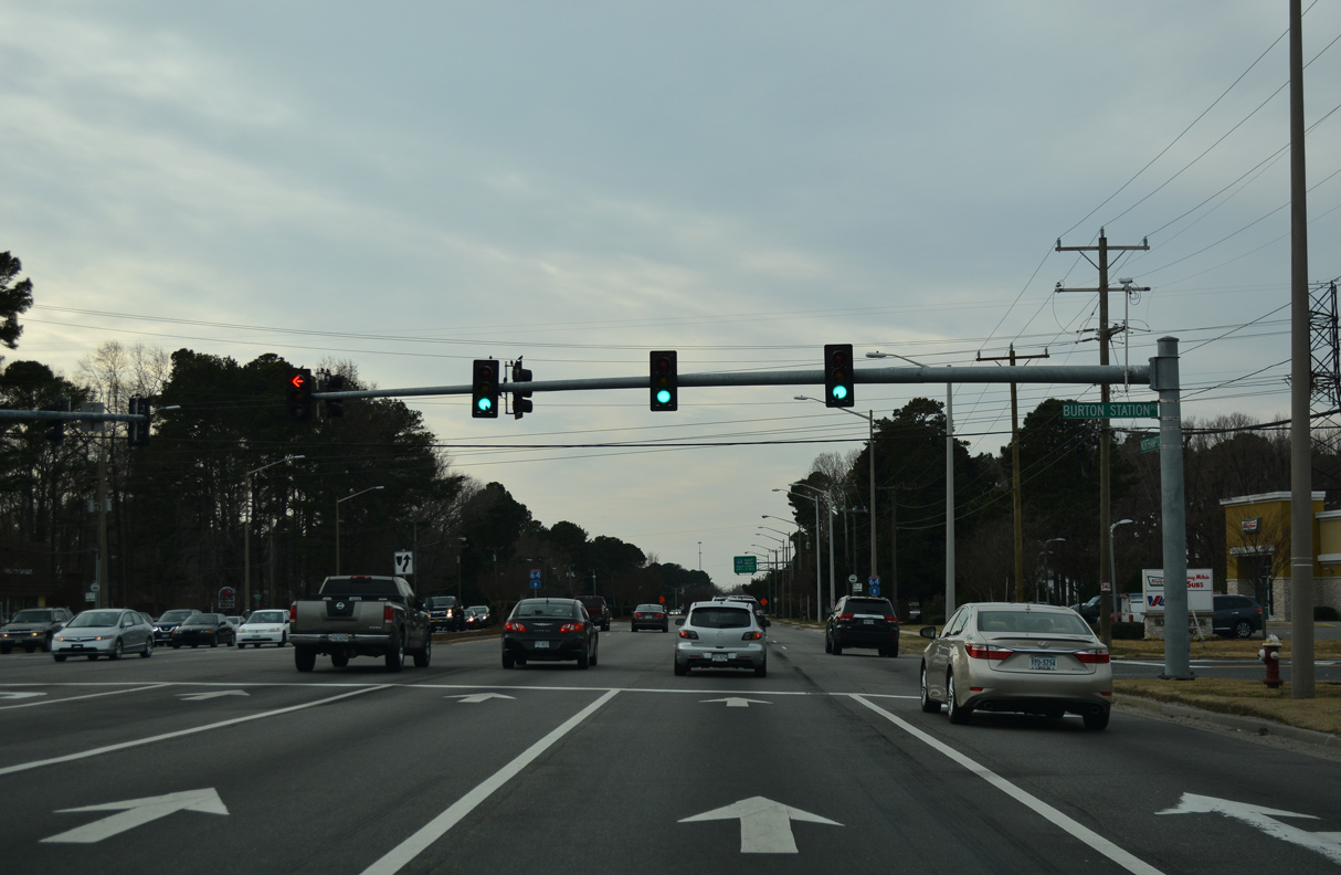
Burton Station Road spurs 0.75 miles northwest from U.S. 13/SR 166 to the general aviation area of Norfolk International Airport (ORF).
12/30/17
12/30/17
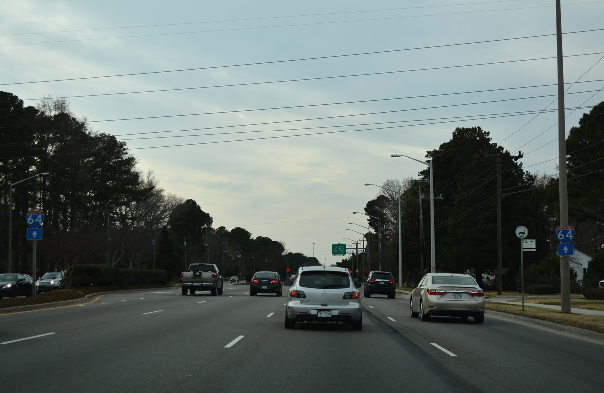
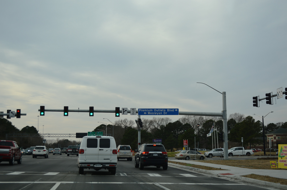
U.S. 13/SR 166 (Northampton Boulevard) converge with Interstate 64 beyond Wesleyan Drive adjacent to Lake Wright.
12/30/17
12/30/17
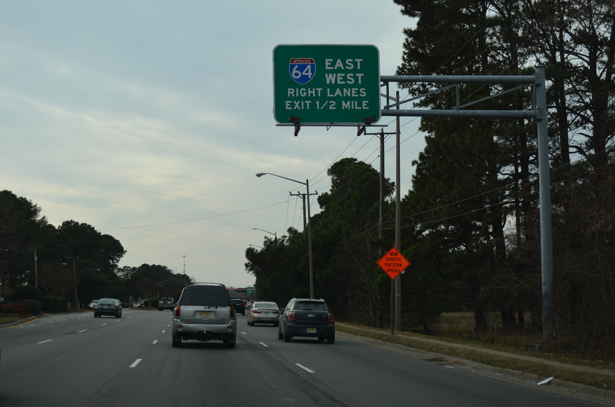
A two lane ramp separates from U.S. 13/SR 166 (Northamption Boulevard) south for I-64 (Hampton Roads Beltway) west to Hampton and south to Chesapeake.
12/30/17

12/30/17
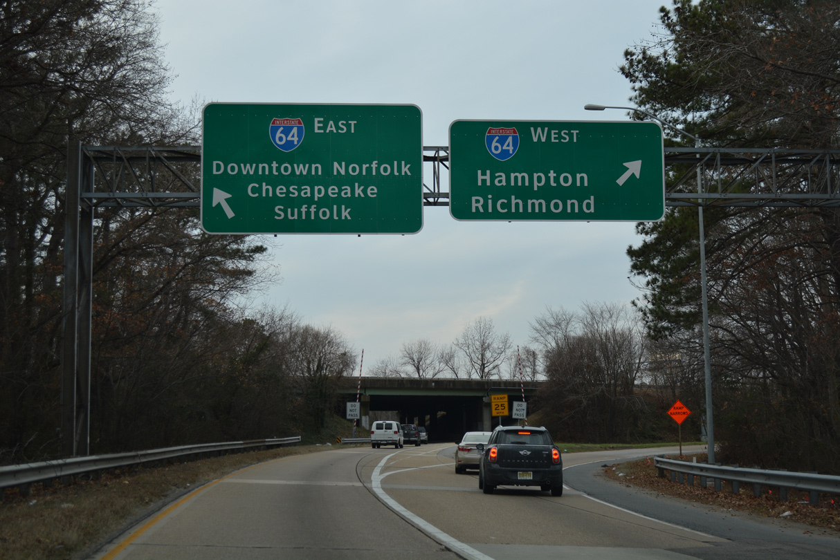
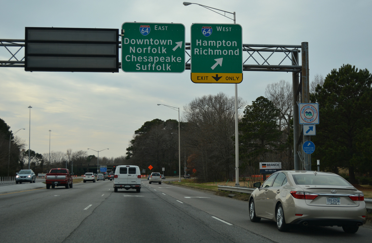
I-64 east to I-264 west leads to Downtown Norfolk. I-64 bypasses Norfolk to the south en route to Suffolk.
12/30/17
South
U.S. 13 (Military Highway) south at the diamond interchange with I-464 in Chesapeake. Interstate 464 travels north to I-264 between Downtown Norfolk and Portsmouth and south to I-64/U.S. 17/SR 168.
01/06/01
Connect with:
Interstate 64
Interstate 264
Interstate 464
Interstate 664
U.S. 17
U.S. 58
U.S. 60
U.S. 460
State Route 168 - Chesapeake Expressway
Page Updated 04-19-2021.