|
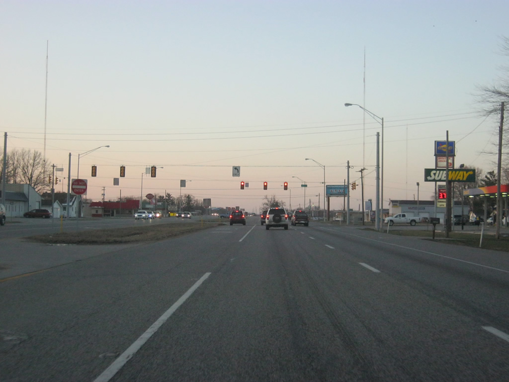
| As with some of the next few communities, U.S. 41/150 will bypass them to the west. Here, Main Street heads east from U.S. 41/150 into the town of Farmersburg. 03/06/12 |
|
| South of Farmersburg, Sullivan is 11 miles away and Vincennes is 41 miles away. 03/06/12 |
|
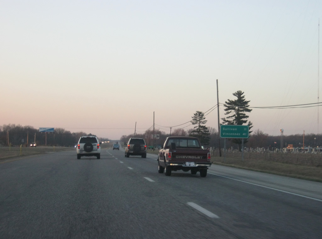
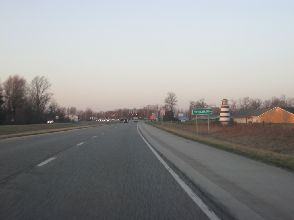
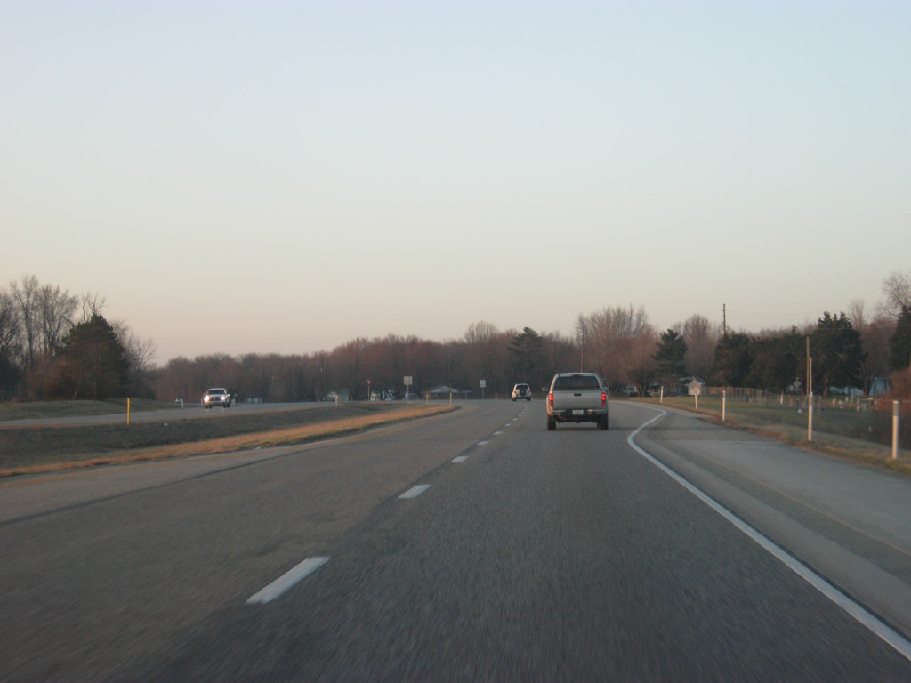
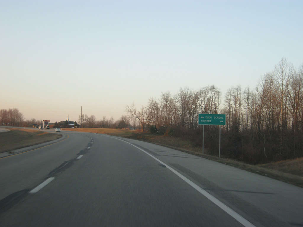
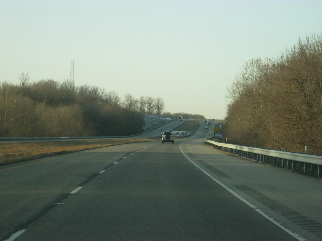
| A view of U.S. 41/150 to the south of Farmersburg and en route to Shelburn. A set of flashers hang above the intersection with County Road 975 North in the distance. 03/06/12 |
|
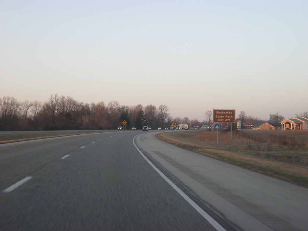
| Drivers bound for Shakamak State Park should use SR 48 east from the town of Shelburn to reach the park in about ten miles. 03/06/12 |
|
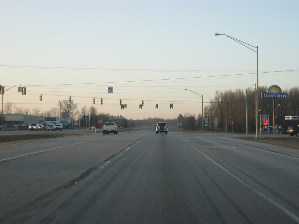
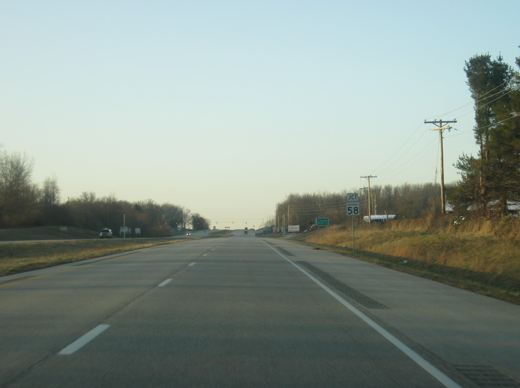
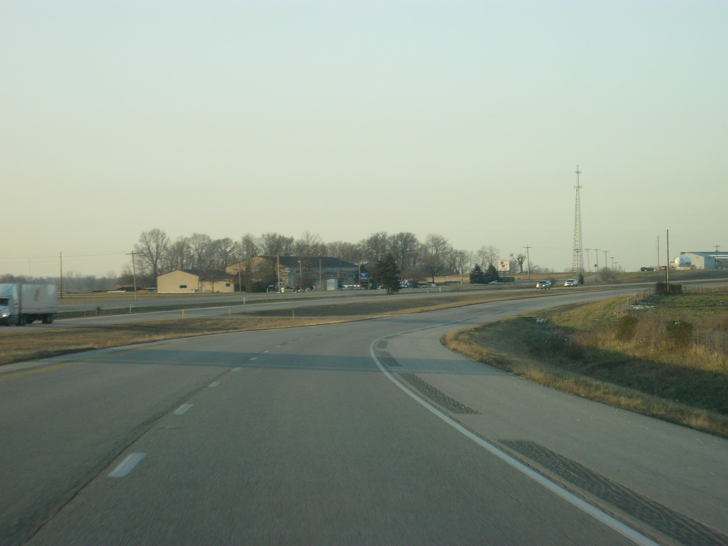
| U.S. 41/150 enters the town of Shelburn. As with Farmersburg before it, the expressway bypasses most of Shelburn to the west. 03/06/12 |
|
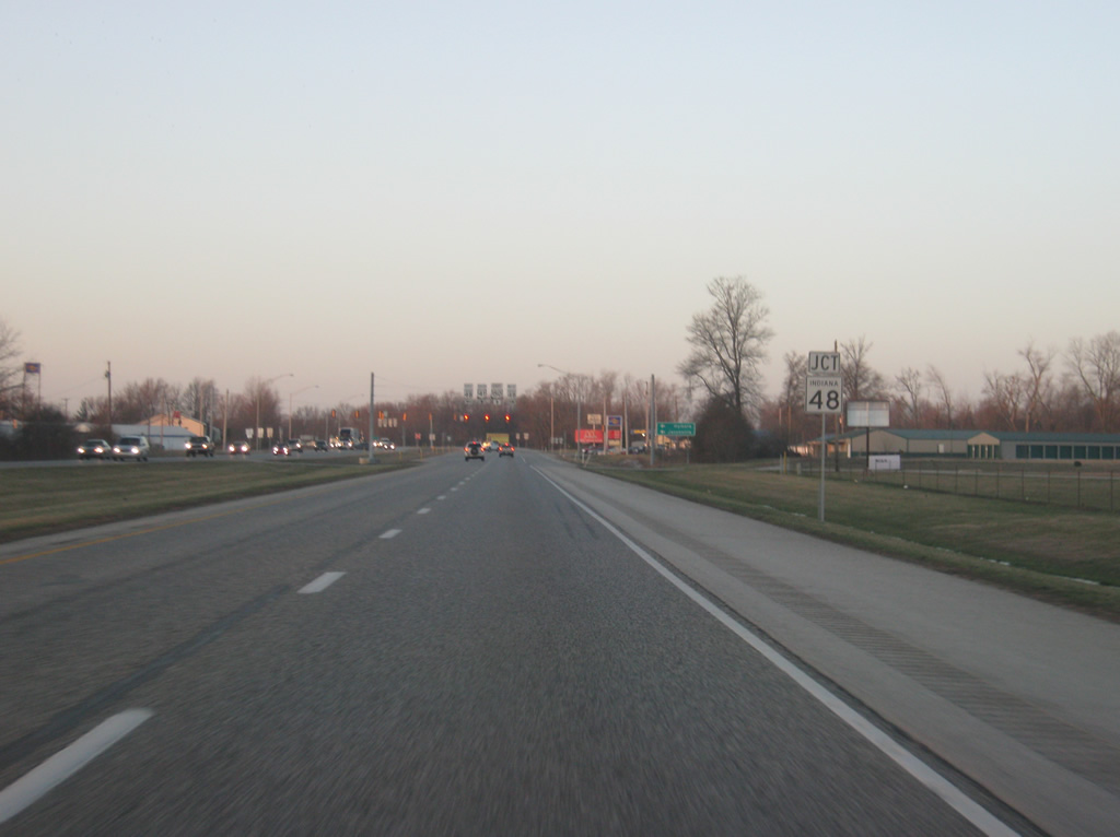
| SR 48 exists in three different segments, the westernmost of which travels for 30 miles from the junction with SR 63 south of Fairbanks and eastward through Shelburn, Hymera and Jasonville, finally ending at SR 157 north of Worthington. 03/06/12 |
|
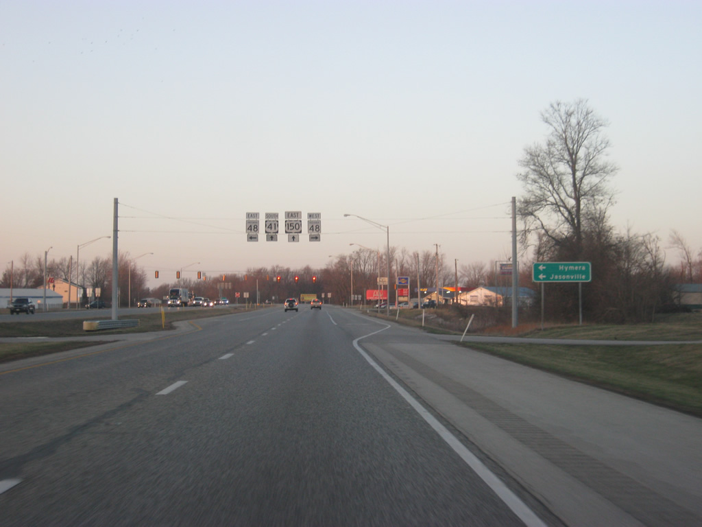
| The western terminus of SR 48 is seven miles to the west of U.S. 41/150 near the town of Fairbanks at SR 63. The town of Hymera is 5 1/2 miles to the east followed by Jasonville in 13 miles. 03/06/12 |
|
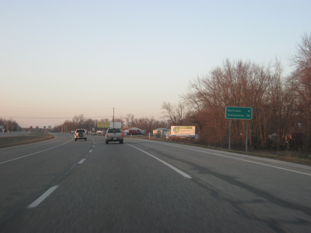
| South of the SR 48 intersection, Sullivan lies six miles away with Vincennes now at 36 miles. 03/06/12 |
|
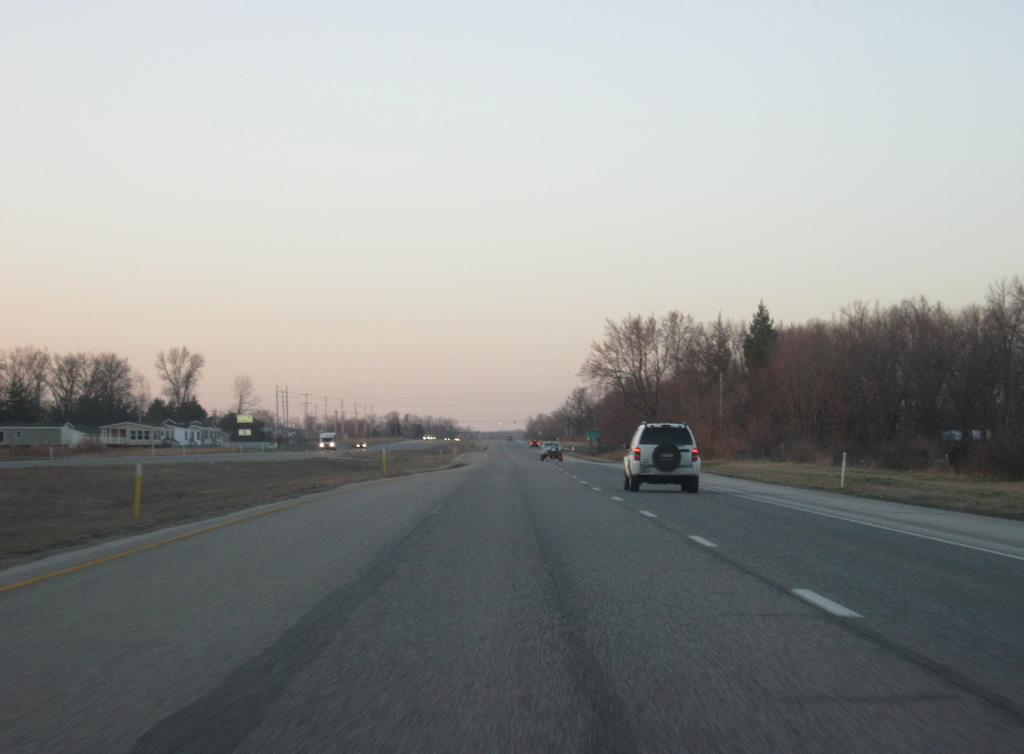
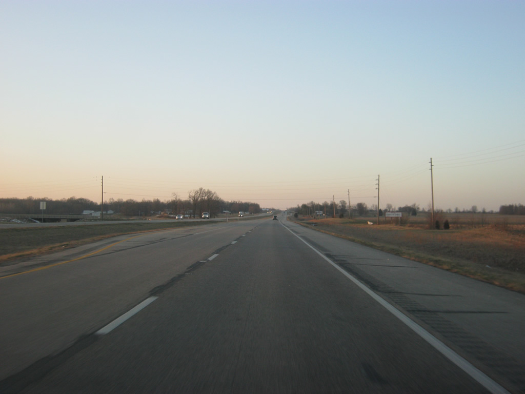
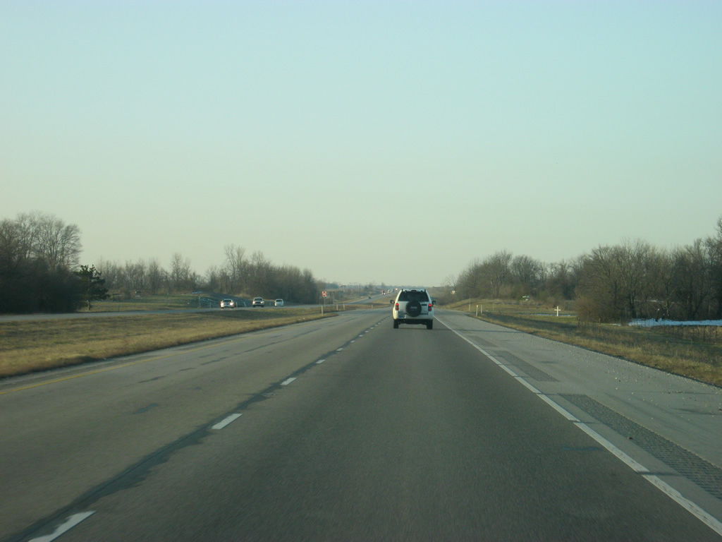
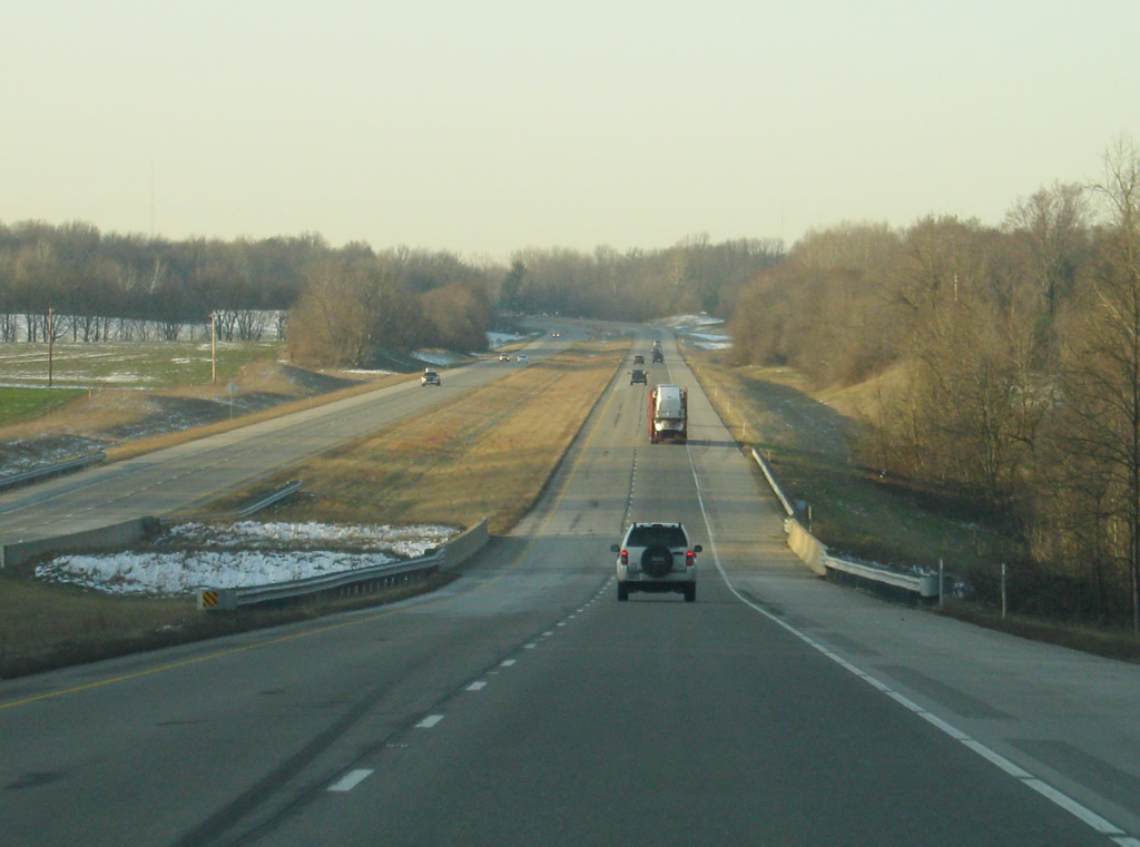
| Scenes of U.S. 41/150 as the highway travels to the south toward Sullivan. Morrison Creek lines the northbound lanes from County Road 500 North southward to County Road 450 North. 03/06/12 |
|
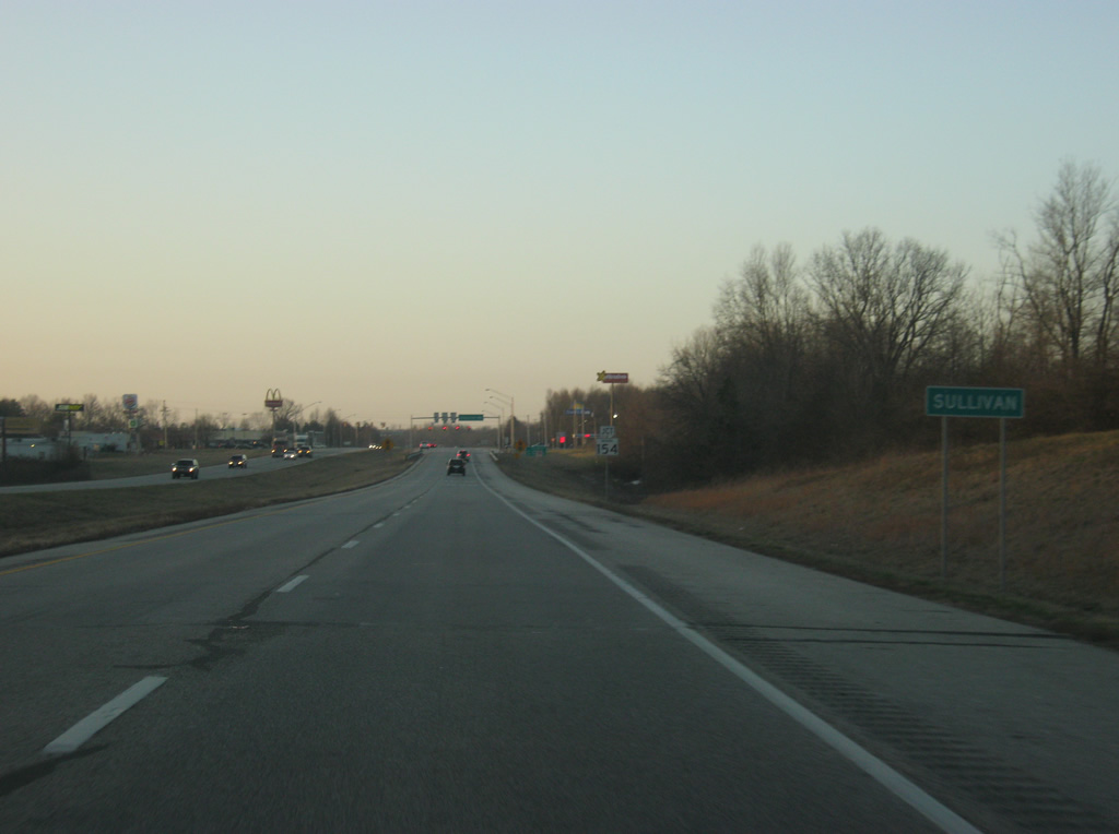
| Section Street turns off of U.S. 41/150 to the south into the city of Sullivan, the county seat of the county of the same name. U.S. 41/150 bypasses Sullivan to the west while Section Street follows the original routing of U.S. 41 across Sullivan. 03/06/12 |
|
| U.S. 41/150 bypasses the city of Sullivan to the northwest as it approaches the intersection with SR 154. 03/06/12 |
|
| U.S. 41/150 enters the city of Sullivan (population 4,617), even though the highway bypasses the main part of the city to the west. 03/06/12 |
|
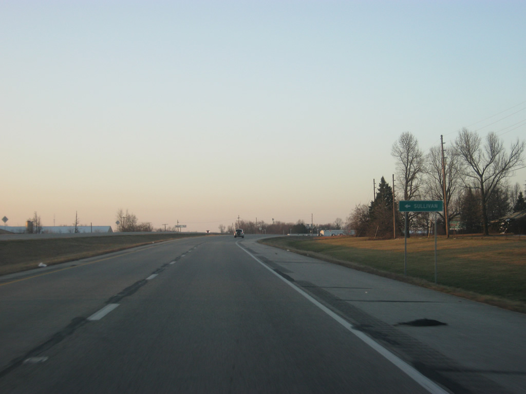
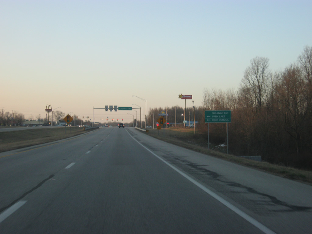
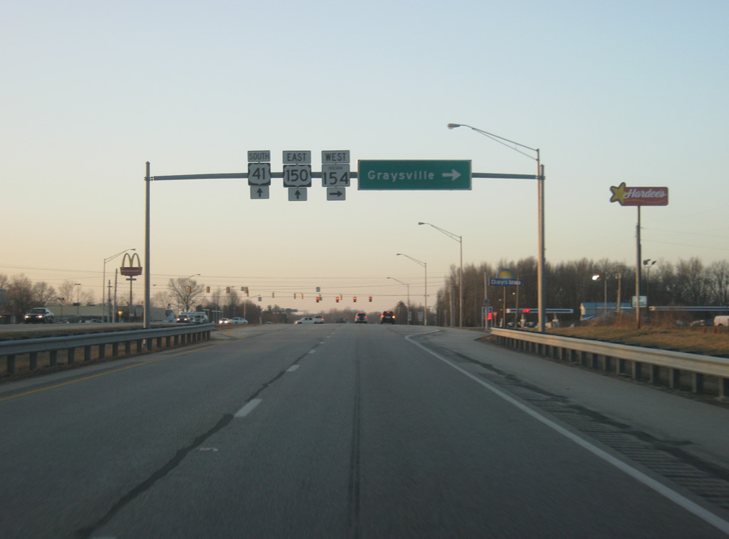
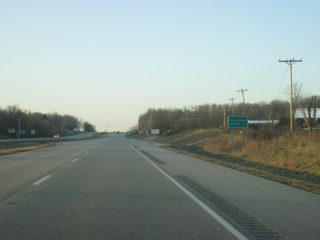
| On the west side of Sullivan, U.S. 41/150 approaches the junction with SR 154 west. SR 154 travels for only 13 miles from U.S. 41/150 to the Wabash River Bridge at Hutsonville, Illinois. The is the final traffic light along U.S. 41 until south of Princeton. 03/06/12 |
|
| The town of Graysville lies 8.4 miles to the west of U.S. 41/150 at the junction with SR 154 and SR 63. The Illinois state line lies only a few miles beyond Graysville. 03/06/12 |
|
| Wolfe Street heads east of the junction with SR 154 west and U.S. 41/150 into the city of Sullivan, linking up with Section Street a few blocks north of the courthouse square. 03/06/12 |
|
| U.S. 41/150 cross the Indiana Rail Road on the southwest side of Sullivan as the expressway continues its bypass of the Sullivan County seat. 03/06/12 |
|
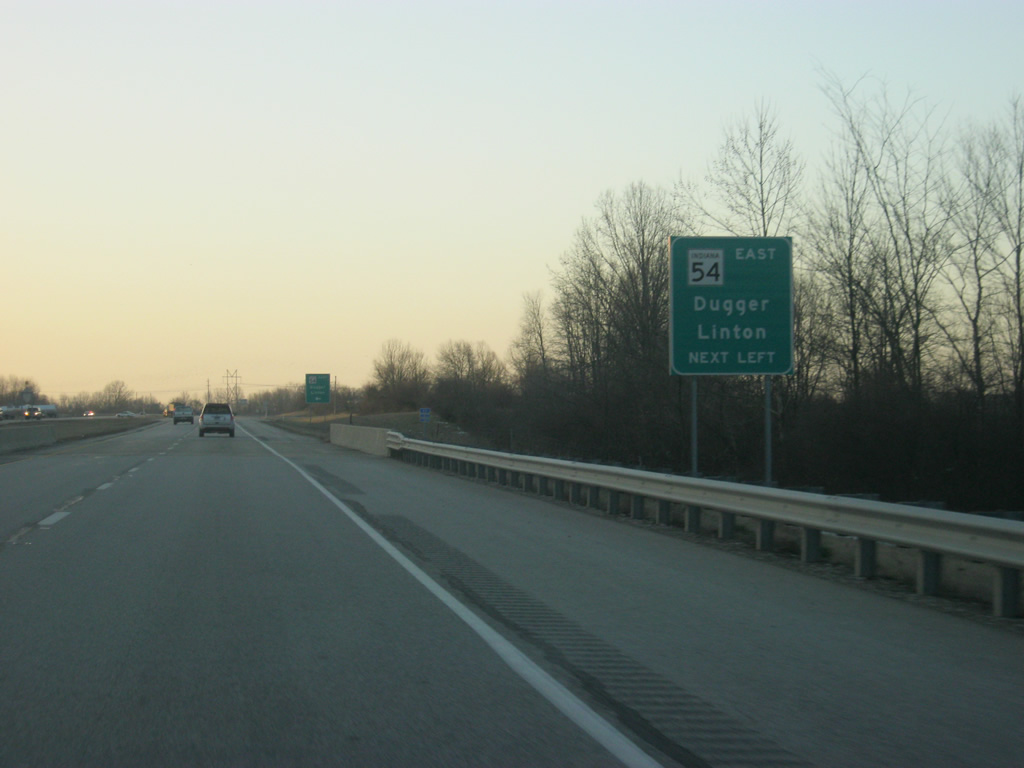
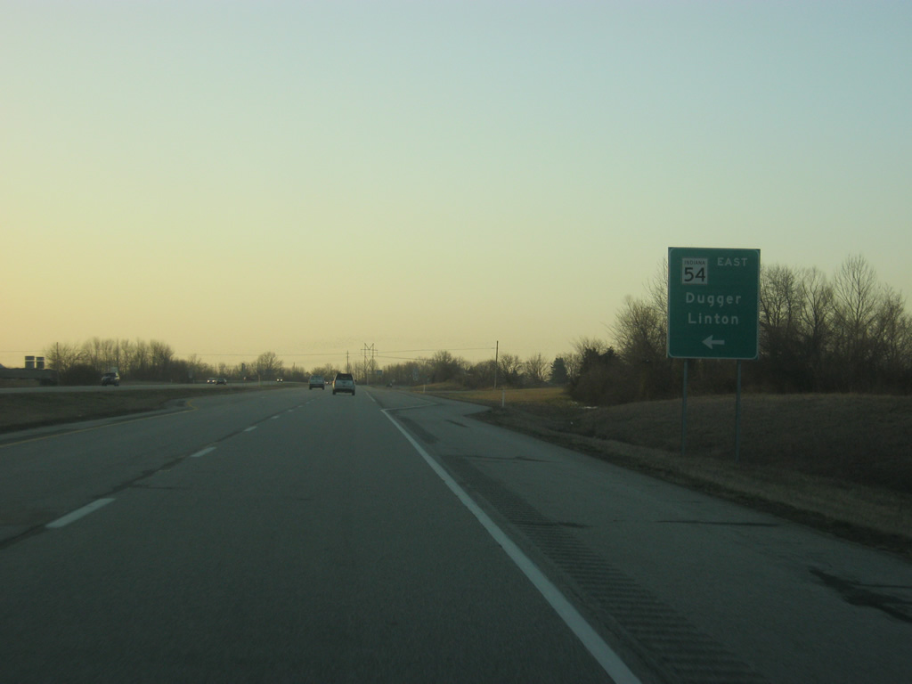
| SR 54 goes for 65.2 miles from U.S. 41/150 east to Dugger, Linton and Bloomfield before ending at SR 37 near Oolitic. 03/06/12 |
|
| The Sullivan County town of Dugger is eight miles to the east while the Greene County city of Linton is 16 miles to the east. 03/06/12 |
|
| SR 54 begins its eastward trek to Dugger and Linton from U.S. 41/150. The state road initially follows a portion of Section Street (old U.S. 41 through Sullivan) before making an eastern turn. 03/06/12 |
|
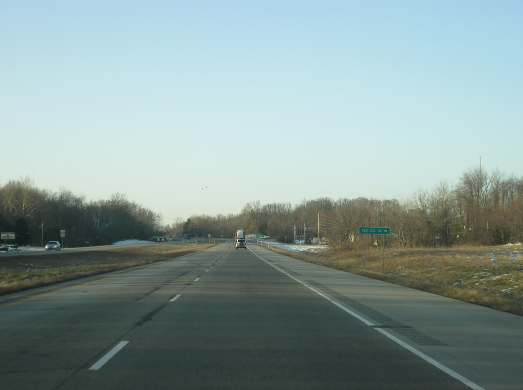
| Reassurance shields for U.S. 41/150, posted south of Sullivan as the highway enters a rural stretch through central Sullivan County. 03/06/12 |
|
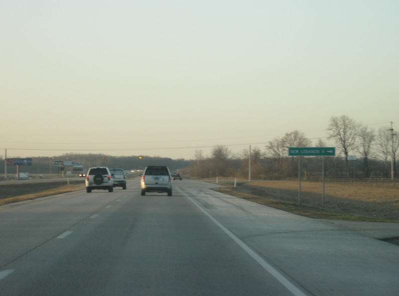
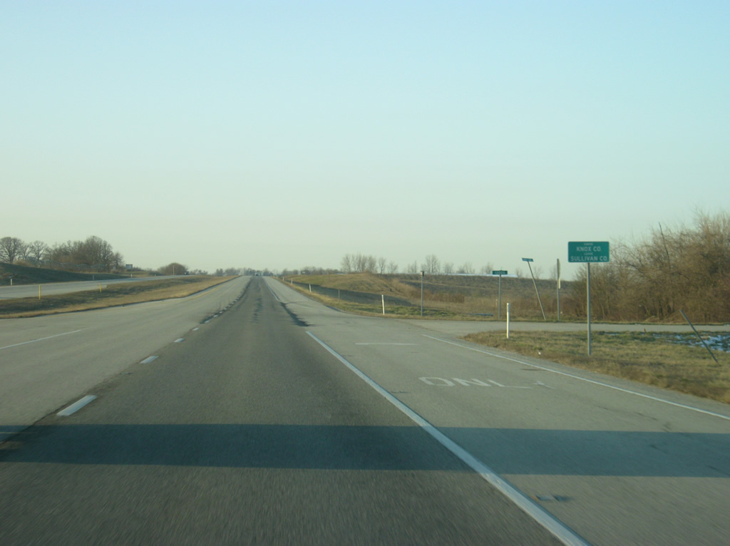
| County Road 300 South heads west from U.S. 41/150 to the town of New Lebanon, four miles away. 03/06/12 |
|
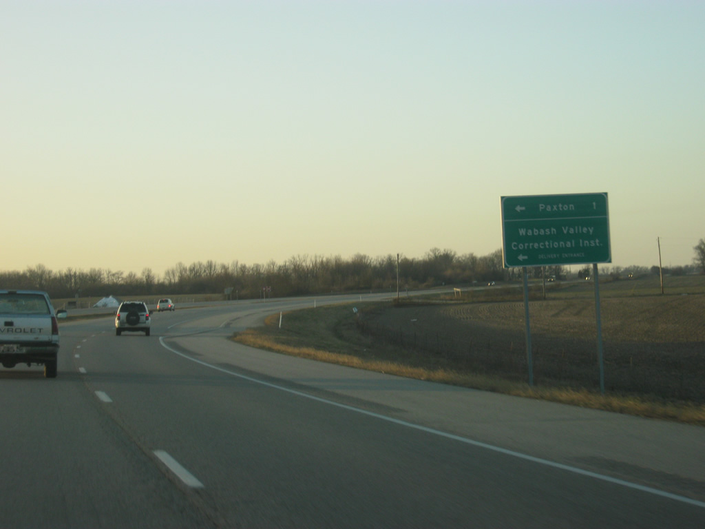
| County Road 400 South leads to the east of U.S. 41/150 into the small town of Paxton, one mile away. 03/06/12 |
|
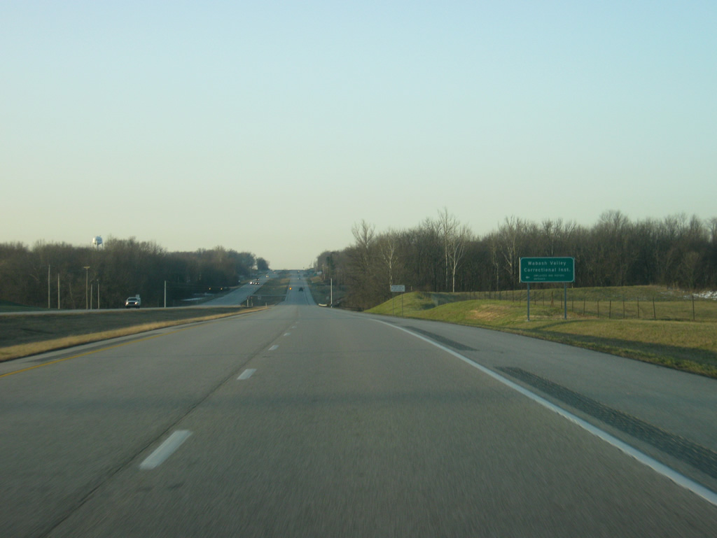
| North of Carlisle along U.S. 41/150 lays the Wabash Valley Correctional Institute. For that reason, travelers are advised not to pick up hitchhikers in this area. 03/06/12 |
|
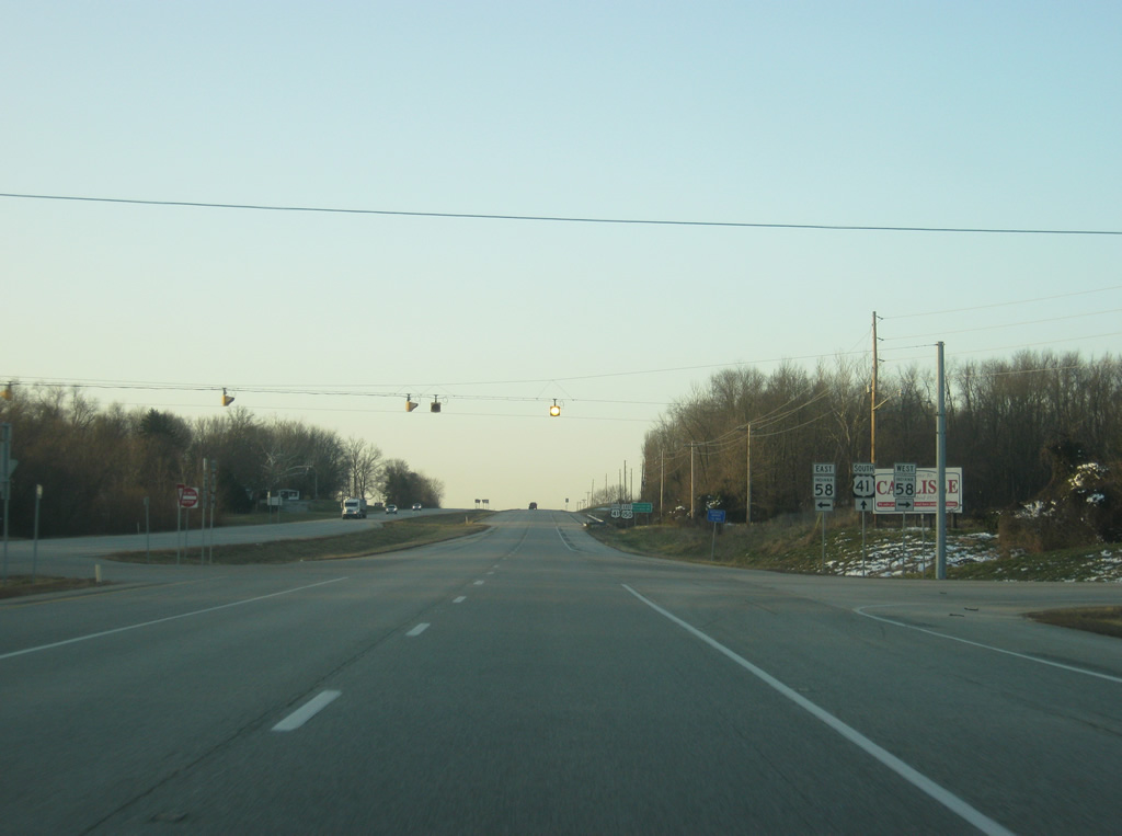
| U.S. 41/150 passes to the west of the town of Carlisle. Here, U.S. 41/150 approach the junction with SR 58, a 122 mile highway that stretches from the town of Merom to the west through Carlisle, Sandborn and Bedford before ending at Interstate 65 outside of Columbus. 03/06/12 |
|
| The town of Merom lies 13 miles to the northwest along the Wabash River at which point SR 58 becomes SR 63. The town of Carlisle lies immediately to the east along Harrison Street. 03/06/12 |
|
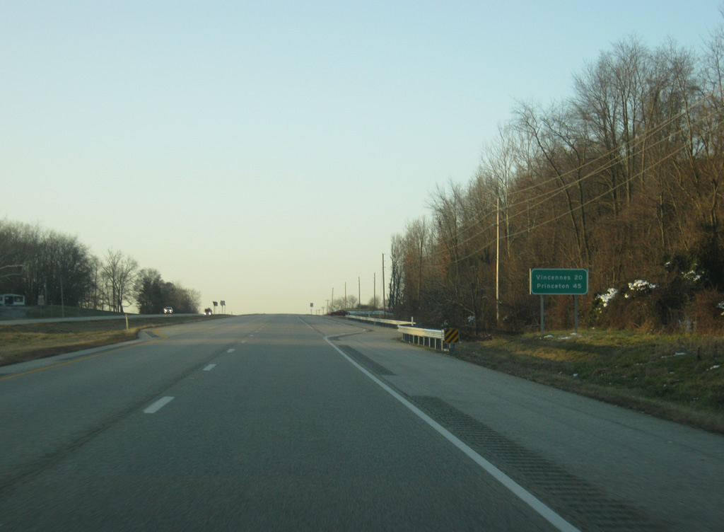
| South of the junction with SR 58, Vincennes is 20 miles away along U.S. 41/150 with Princeton following at 45 miles. 03/06/12 |
|
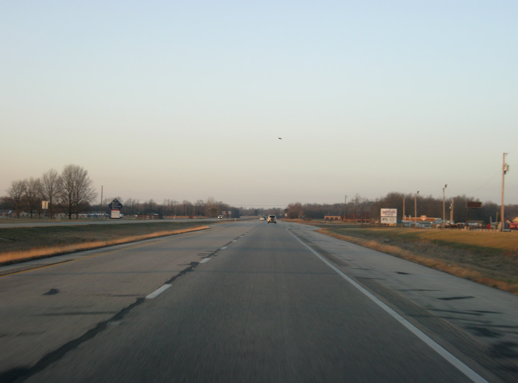
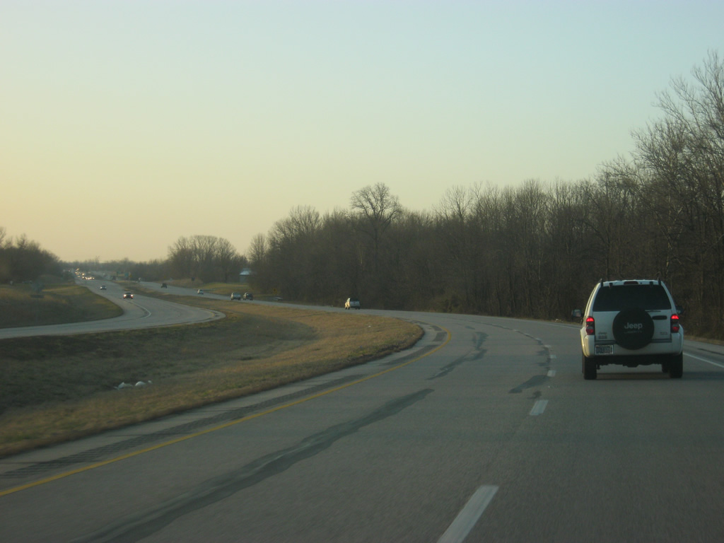
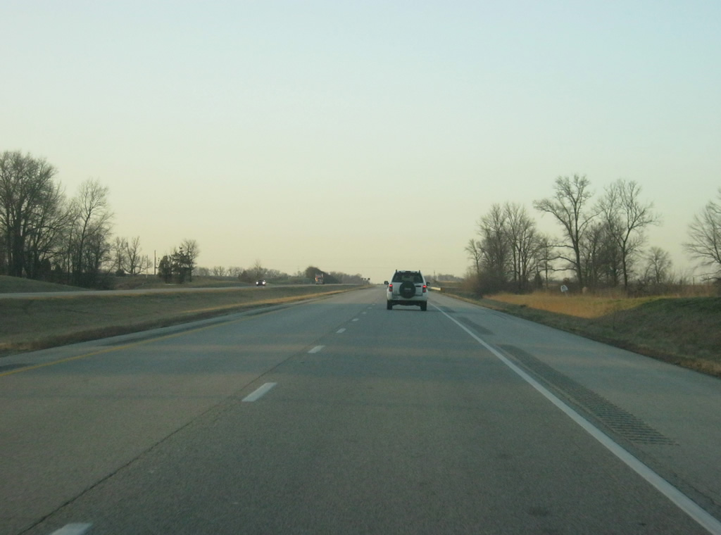
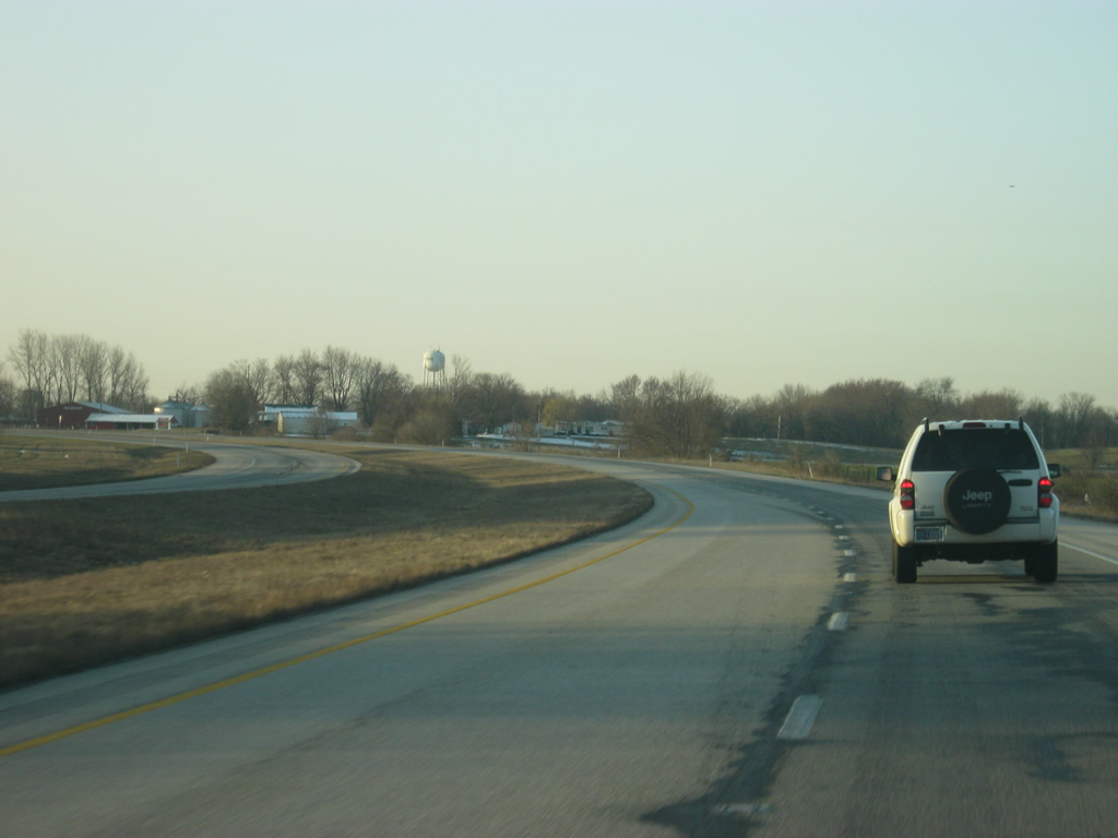
| Views of U.S. 41/150 as it heads south from Carlisle toward the Sullivan-Knox county line. Old US 41 parallels the expressway along the east side from Alexander Street in Carlisle southward to Oaktown. 03/06/12 |
|
| U.S. 41/150 enters Indiana's oldest county, Knox County (population 38,440). 03/06/12 |
|
| U.S. 41/150 turns to the southeast as it bypasses the town of Oaktown. 03/06/12 |
|
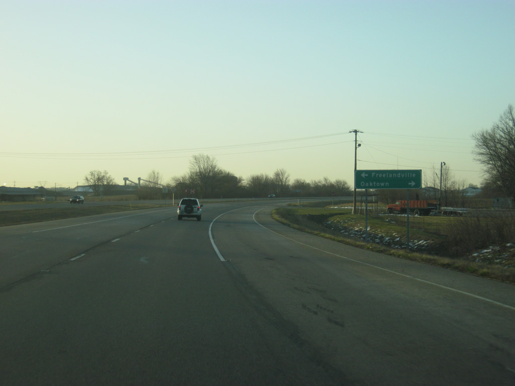
| Freelandville Road heads east from U.S. 41/150 in the direction of the Freelandville while Maple Avenue heads west into the town of Oaktown, which the four lane expressway bypasses to the east. 03/06/12 |
|
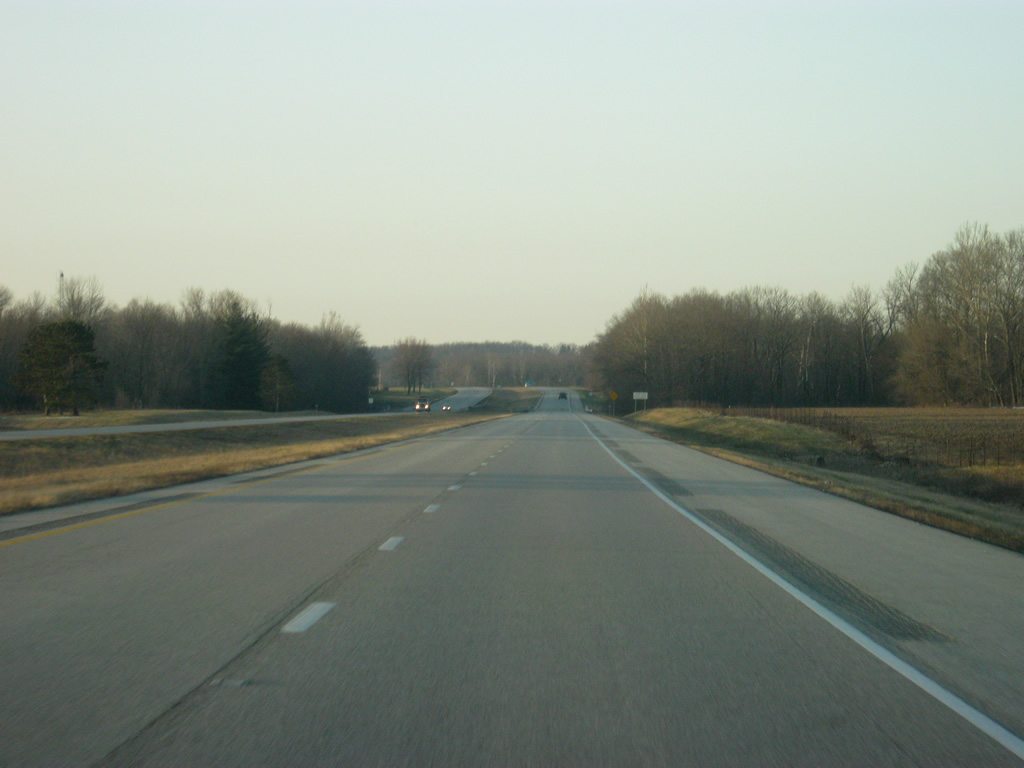
| Agricultural fields dominate the view as U.S. 41/150 continue south from the town of Oaktown. 03/06/12 |
|
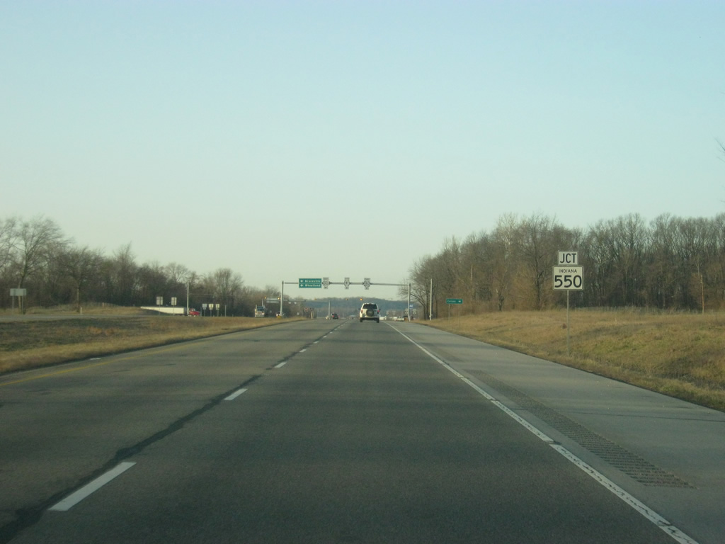
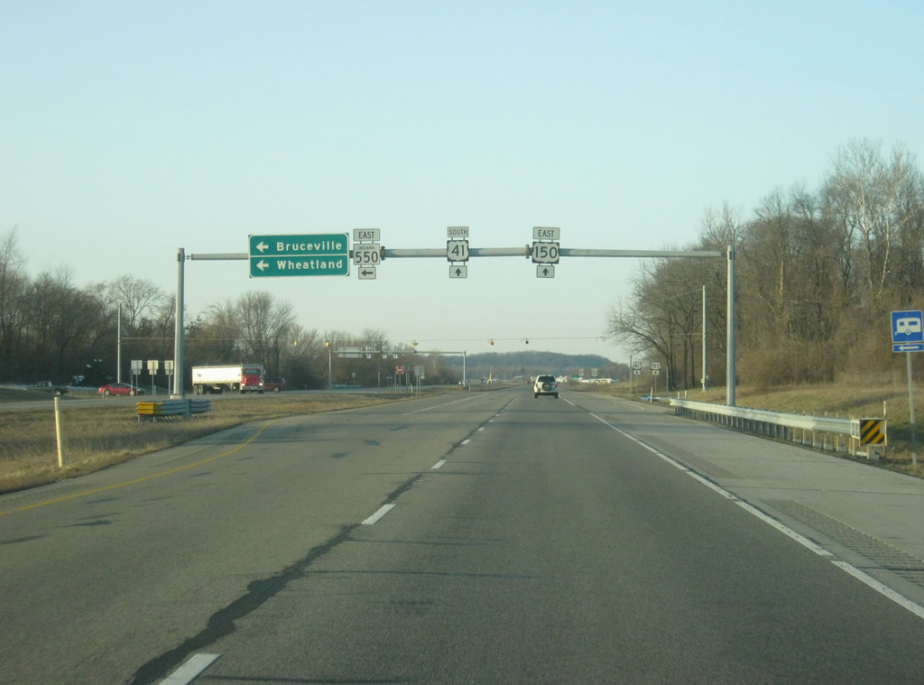
| U.S. 41/150 come across the western end to SR 550, which heads in a southeast direction toward the communities of Bruceville and Wheatland, finishing off its 23.5 mile journey at U.S. 50/150 in eastern Knox County. Another stretch of SR 550 exists in Martin County. 03/06/12 |
|
| SR 550 east breaks off in the direction of Bruceville, 4.8 miles to the southeast. The town of Emison lies to the immediate west of the expressway off of Nicholson Road. 03/06/12 |
|
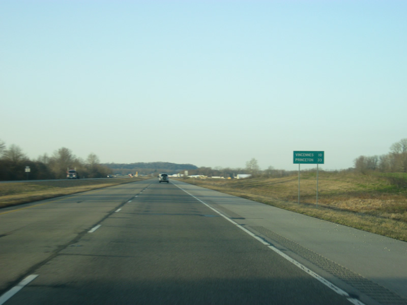
| South of the SR 550 east intersection, Vincennes is ten miles and Princeton is 33 miles away. 03/06/12 |
|
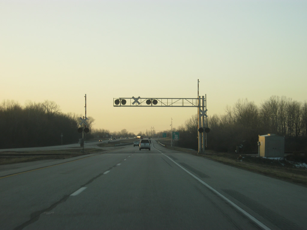
| More rolling hills and fields line the sides of U.S. 41/150 as the expressway gets closer to Vincennes. The route tandem cross Maria and Smalls Creek along this stretch. 03/06/12 |
|
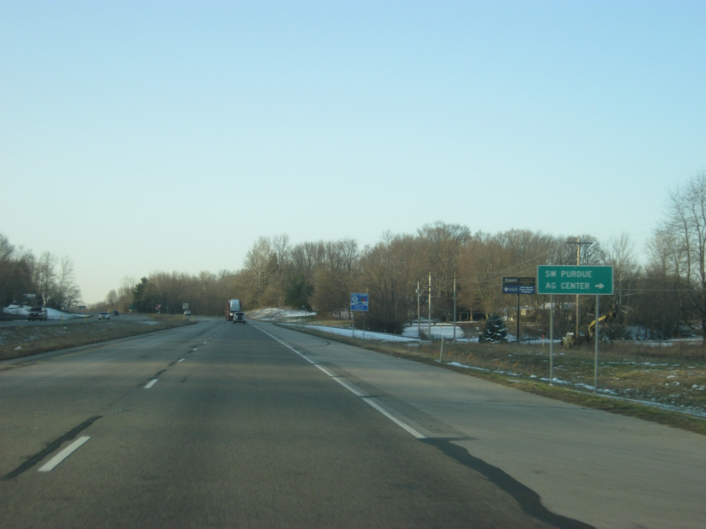
| Purdue Road heads north from U.S. 41/150 to the Southwest Purdue Agriculture Center. 03/06/12 |
|
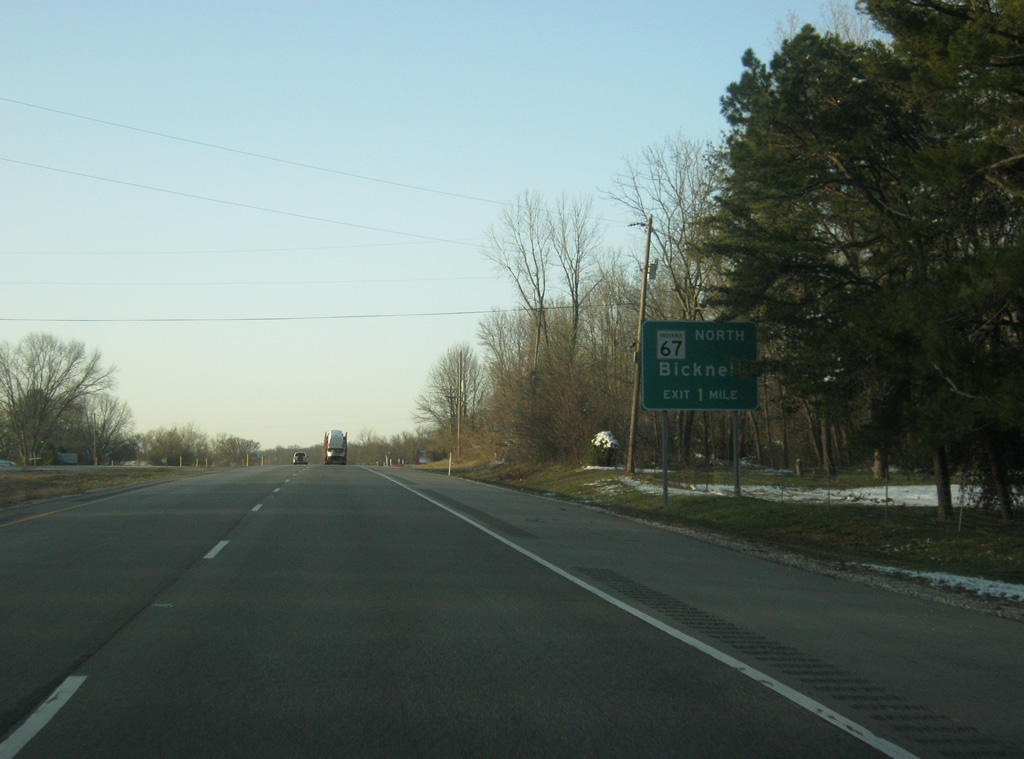
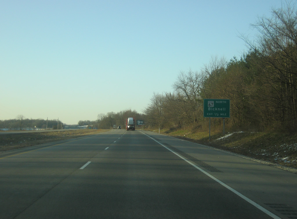
| U.S. 41/150 is now a mile away from the interchange with SR 67, at which U.S. 41 becomes a freeway-style highway that will bypass the city of Vincennes. 03/06/12 |
|
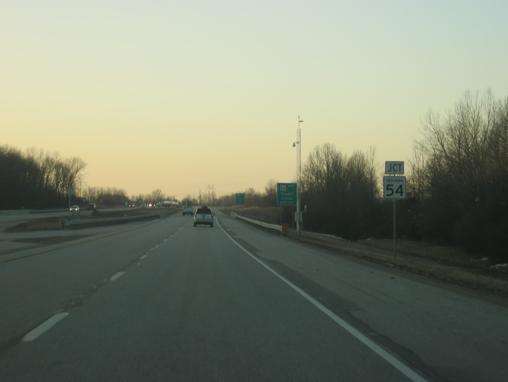
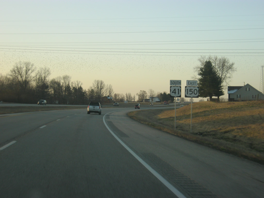
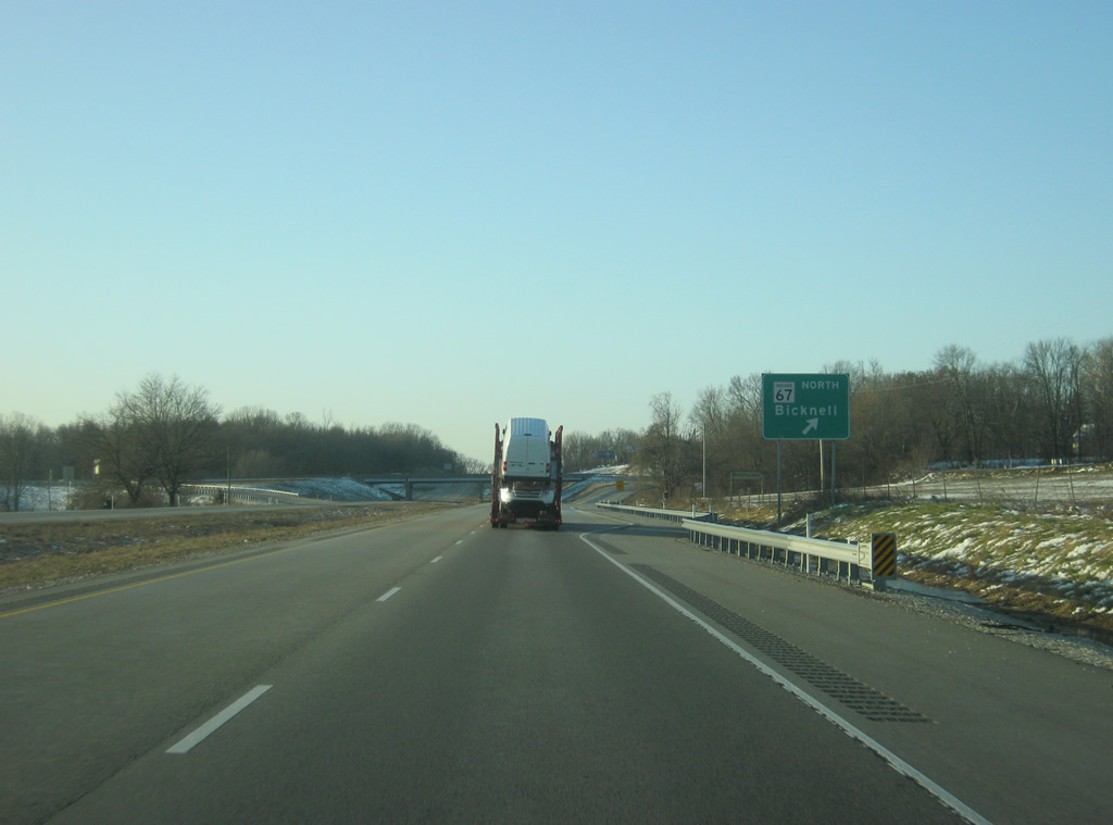
| U.S. 41/150 are a half mile away from the southern end to SR 67, a 199 mile highway that travels from southwest to northeast through Bicknell, Worthington, Spencer, Martinsville, Indianapolis, Pendleton, Muncie and Portland, ending at the Ohio state line east of Bryant. 03/06/12 |
|
| SR 67 begins at a diamond interchange with U.S. 41/150 and travels for five miles to the town of Bruceville and 11 miles to the town of Bicknell. To the west of the interchange the road continues as Old State Road 67, following the highway's former routing into the city of Vincennes. 03/06/12 |
|
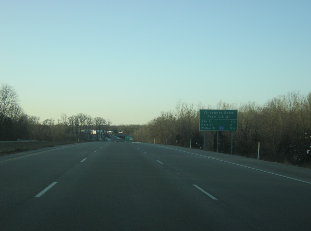
| A sign announces the upcoming interchange along U.S. 41 serving the city of Vincennes. 6th Street is 1.25 miles away, Hart Street is four miles away and Willow Street is 5.25 miles away. 03/06/12 |
|
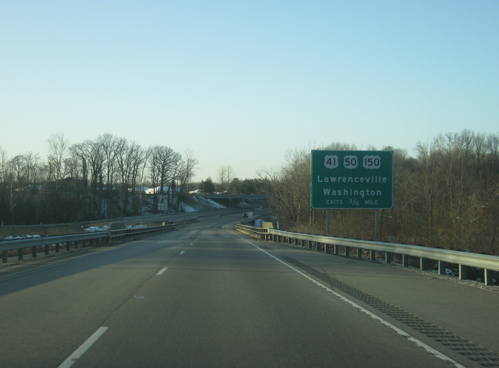
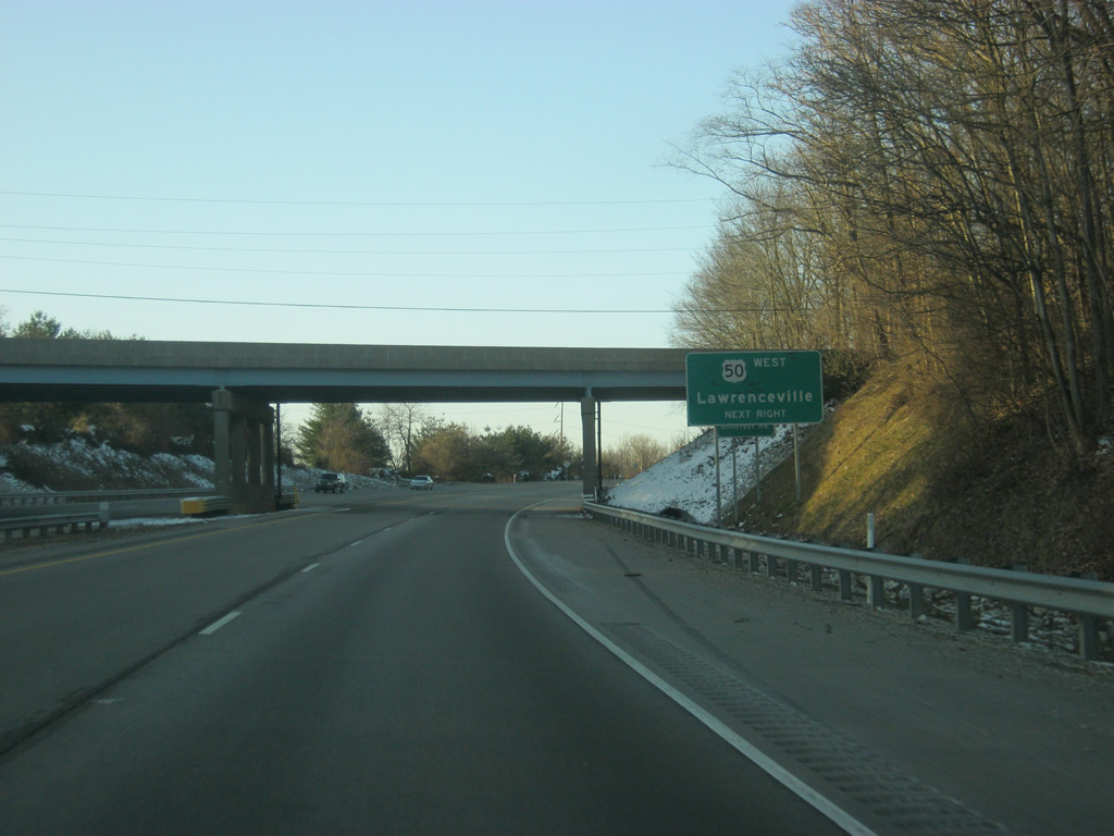
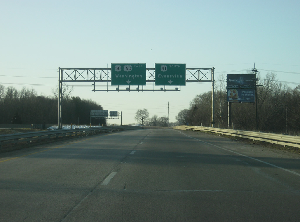
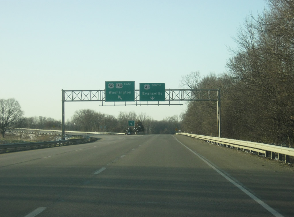
| U.S. 41 approaches the junction with U.S. 50 & U.S. 150. U.S. 50 goes for 3,008 miles across the United States from West Sacramento, California to Ocean City, Maryland. In Indiana it goes for 171.5 miles from the Wabash River near Vincennes to the east through Washington, Loogootee, Shoals, Bedford, Seymour, North Vernon, Versailles, and Lawrenceburg before entering Ohio near Cincinnati. U.S. 41/150 will have to exit off as well since the road defaults into 6th Street, leading into Vincennes. 03/06/12 |
|
| U.S. 50 continues the freeway bypass of Vincennes 11 miles to the west on a route toward Lawrenceville, Illinois. U.S. 50 continues as a two lane highway across the state of Illinois, passing through Olney and Flora toward St. Louis, Missouri. 03/06/12 |
|
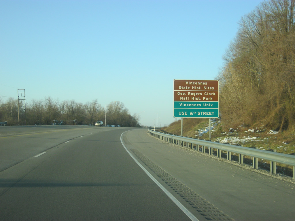
| Vincennes (population 18,423) is Indiana's oldest community, being founded in 1732 as a French trading post and trading hands between the British and Americans during the American Revolution. As a result, Vincennes has several historical attractions to celebrate its heritage. Among them are the George Rogers Clark National Historic Park along the Wabash River and the Vincennes State Historic Sites. Vincennes is also home to Indiana's oldest university, Vincennes University. All of these destinations can be reached by taking 6th Street straight into Vincennes proper. 03/06/12 |
|
| U.S. 50 west toward Lawrenceville, Illinois exits off to the west as U.S. 41/150 enter the cloverleaf interchange on the northeast side of Vincennes. 03/06/12 |
|
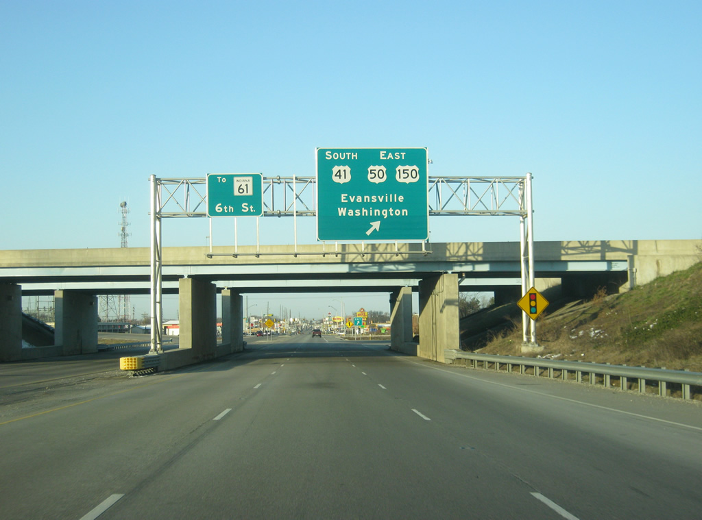
| All traffic following U.S. 41/150 must follow the loop ramp onto the U.S. 50 freeway toward the destinations of Evansville and Washington. 6th Street follows the original routing of U.S. 41 across the city of Vincennes via 6th and Willow Streets and connects with St. Clair Street which becomes SR 61 outside of the Vincennes city limits. SR 61 travels for 64 miles from Vincennes south to Petersburg, Lynnville and Boonville before ending at SR 66 near the Ohio River. 03/06/12 |
|
| U.S. 41/150 are now multiplexed with U.S. 50 as they approach the tri-level stack interchange on the east side of Vincennes. U.S. 150 will depart U.S. 41 at the upcoming interchange as it overlaps with U.S. 50 for 43 mile trip to the Martin County seat of Shoals. 03/06/12 |
|
| U.S. 50 & U.S. 150 leave U.S. 41 at a tri-level stack interchange. U.S. 50 & U.S. 150 head east from U.S. 41 as a four lane expressway for 18 miles to the Daviess County seat of Washington and the interchange with Interstate 69. U.S. 41 continues on toward Princeton and Evansville. 03/06/12 |
Page Updated 04-29-2013.

 south & 150 east