|
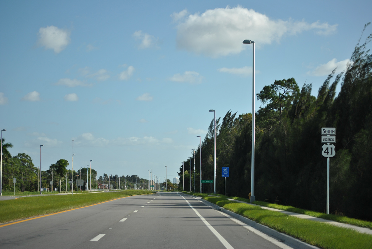
| U.S. 41 Business stems southeast from U.S. 41 and Fork Drive toward North Fort Myers on its 5.5 mile trek to the City of Palms (Fort Myers). The bannered U.S. highway overtook Tamiami Trail when U.S. 41 was moved to its current alignment in 1962. 11/26/15 |
|
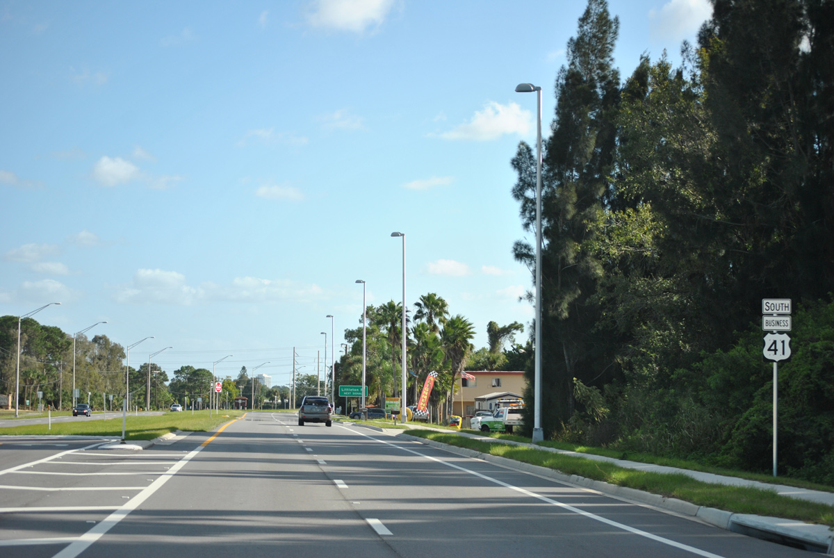
| The first confirming marker for U.S. 41 Business appears south of San Souci Drive on Tamiami Trail. 11/26/15 |
|
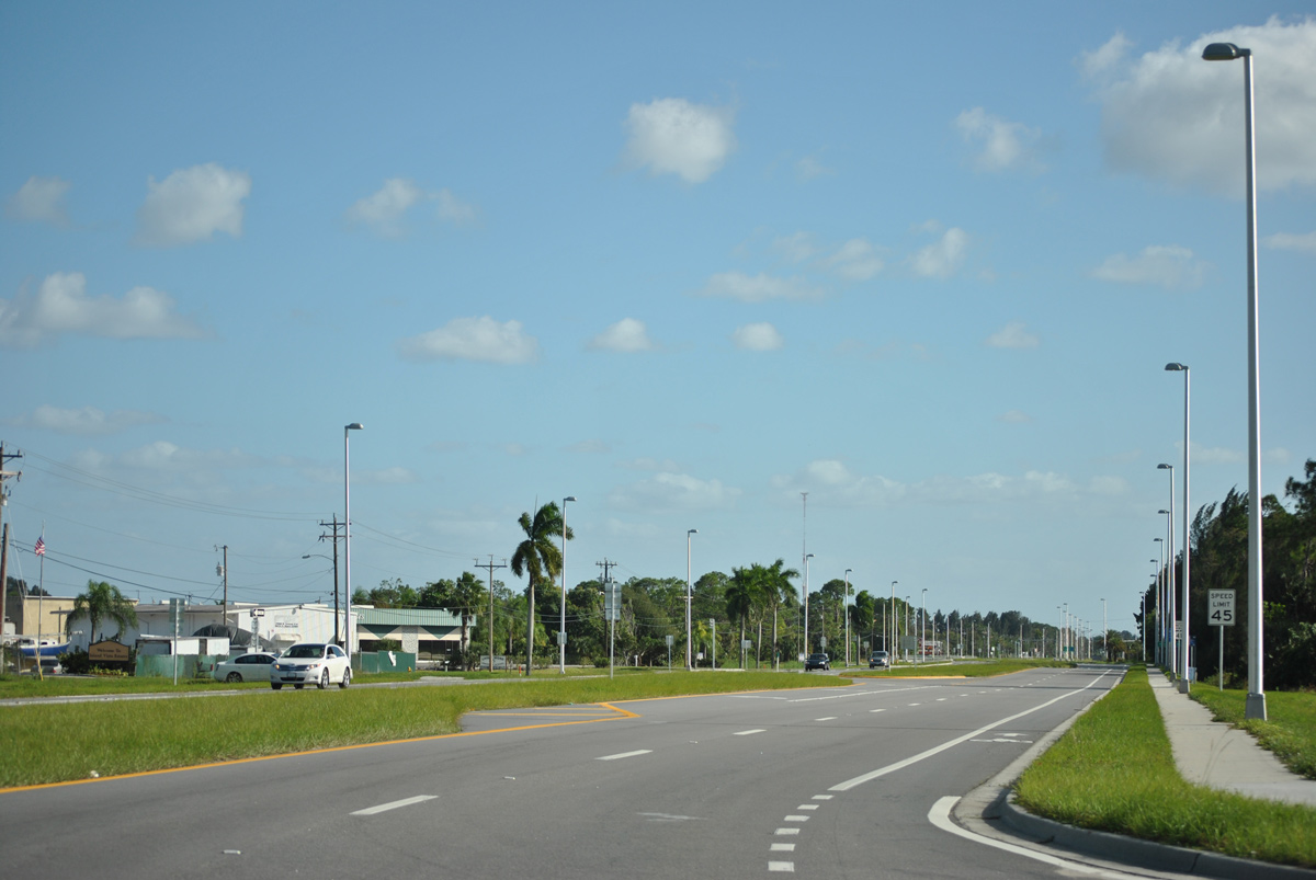
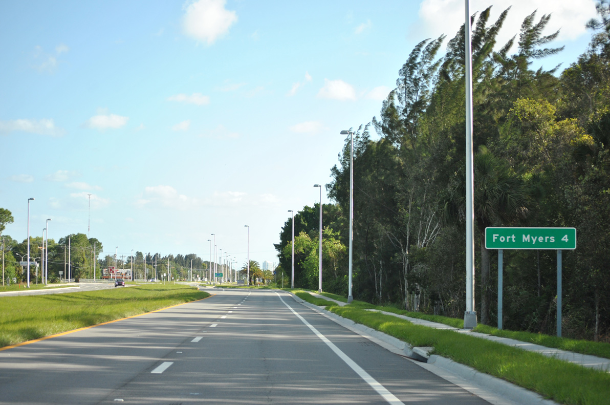
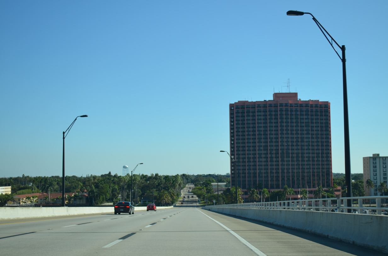
| Tamiami Trail was expanded into a four lane arterial from the north apex with U.S. 41 to Littleton Road during construction from October 28, 2013 to Spring 2015.1 The city of Fort Myers is a 4 mile drive ahead. 11/26/15 |
|
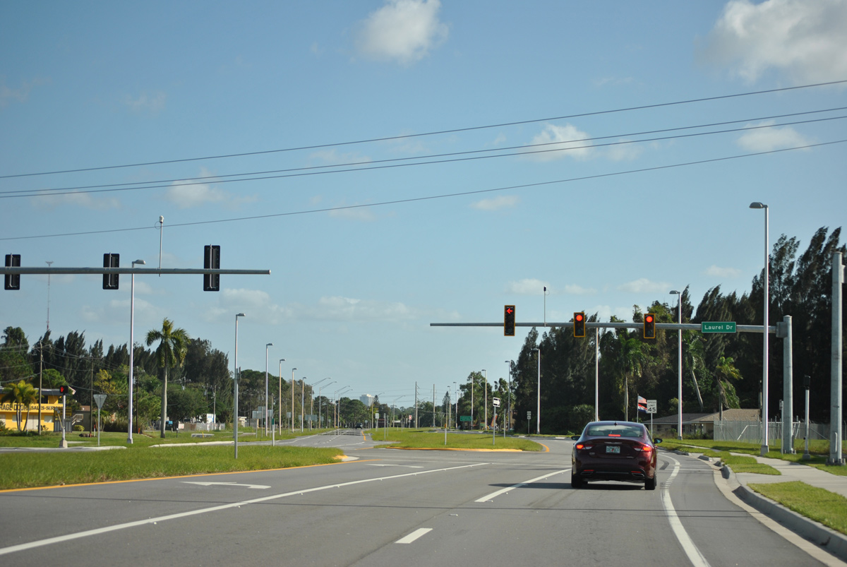
| U.S. 41 Business reaches the signal for Laurel Drive. Laurel Drive shoots east into nearby Suncoast Estates. 11/26/15 |
|
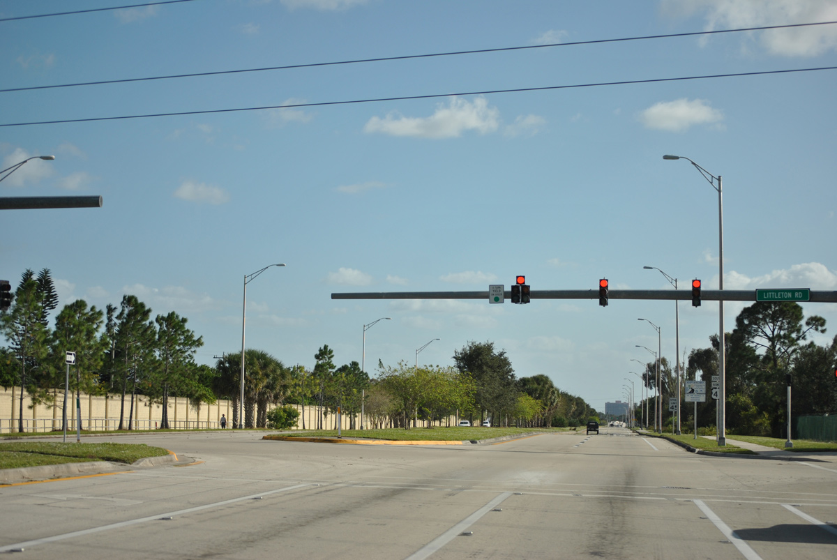
| Reassurance marker posted for U.S. 41 Business between Laurel Drive and Littleton Road. Dual transmission lines parallel the north side of Littleton Road along its entire length. 11/26/15 |
|
| Littleton Road provides a connection between U.S. 41 Business and Kismet Parkway in north Cape Coral. Plans have called for both a realignment of the Littleton/Kismet Parkway intersection as well as an extension of the road east to SR 78 (Bayshore Road) but neither have come to fruition. 11/26/15 |
|
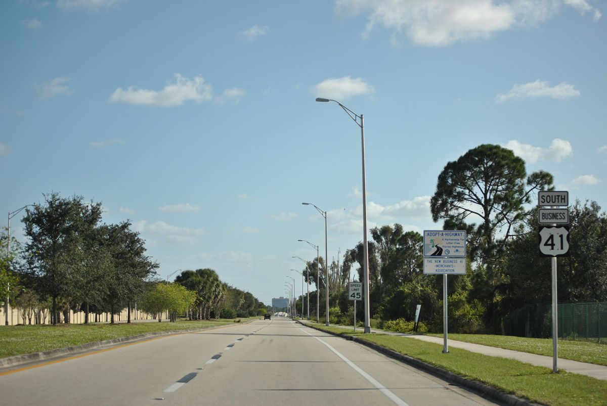
| A reassurance shield for U.S. 41 Business appears south of Littleton Road. 11/26/15 |
|
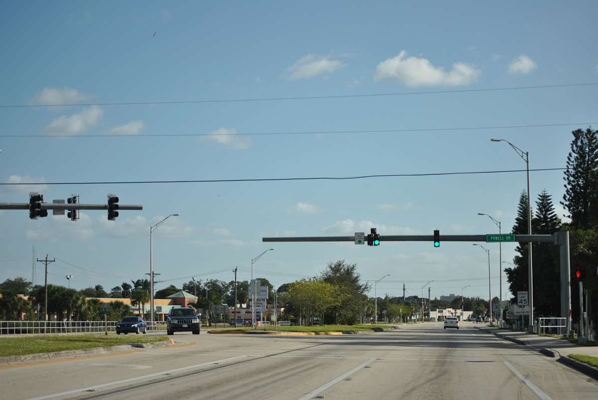
| Powell Drive heads east from Tamiami Trail to service residences before turning south onto Ixora Drive and Bayshore Road. 11/26/15 |
|
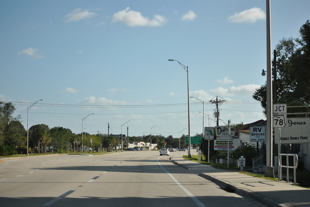
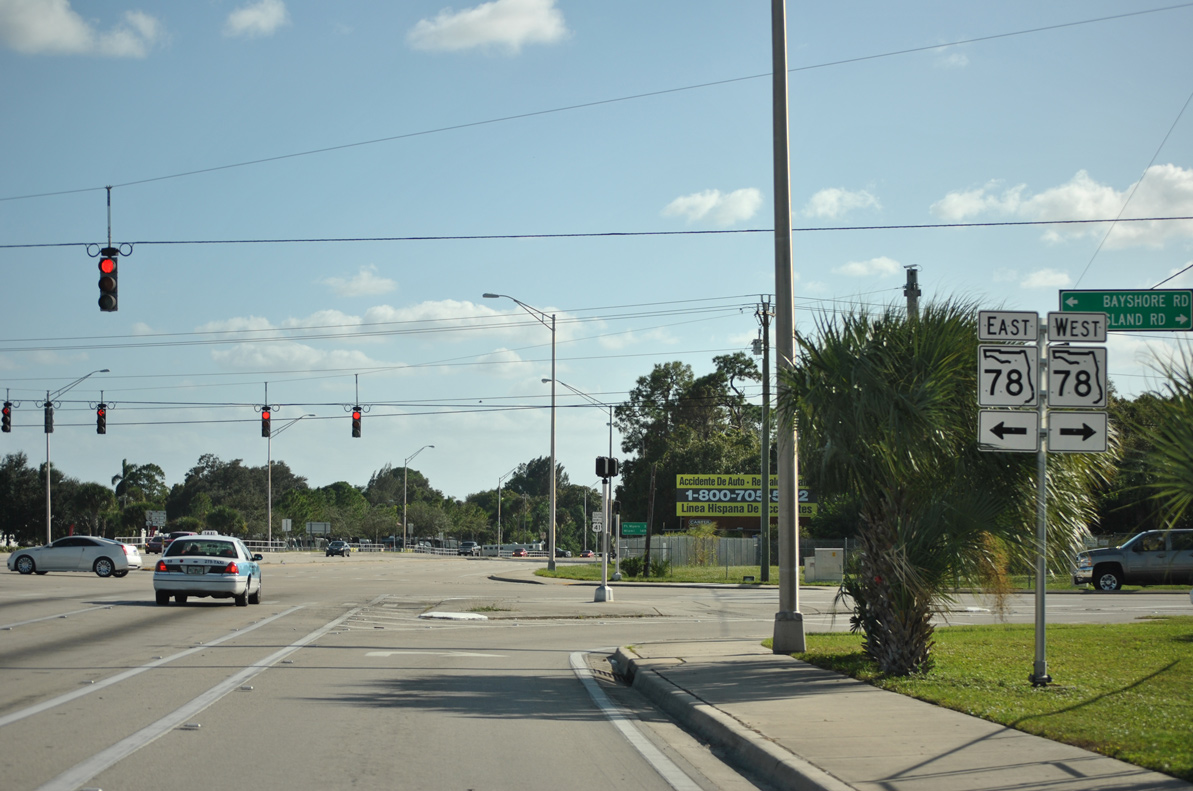
| U.S. 41 Business south next meets SR 78 at Weavers Corner. SR 78 totals 19 miles through Cape Coral and North Fort Myers as it links Lee County Road 765 (Burnt Store Road) with SR 31. Two county-maintained segments carry the 78 banner west to Pine Island and east to LaBelle respectively. 11/26/15 |
|
| Pine Island Road carries SR 78 west from U.S. 41 Business toward Cape Coral and Pine Island. Pine Island Road represents an important commercial corridor for the city of Cape Coral. 07/09/11 |
|
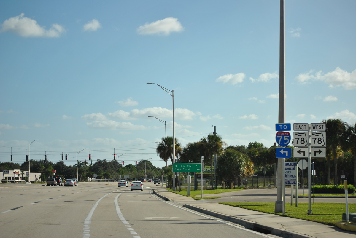
| Heading east SR 78 follows Bayshore Road through Powell Creek and Samville en route to a diamond interchange with Interstate 75. Bayshore Road and SR 78 end at SR 31 by the Lee County Civic Center. 11/26/15 |
|
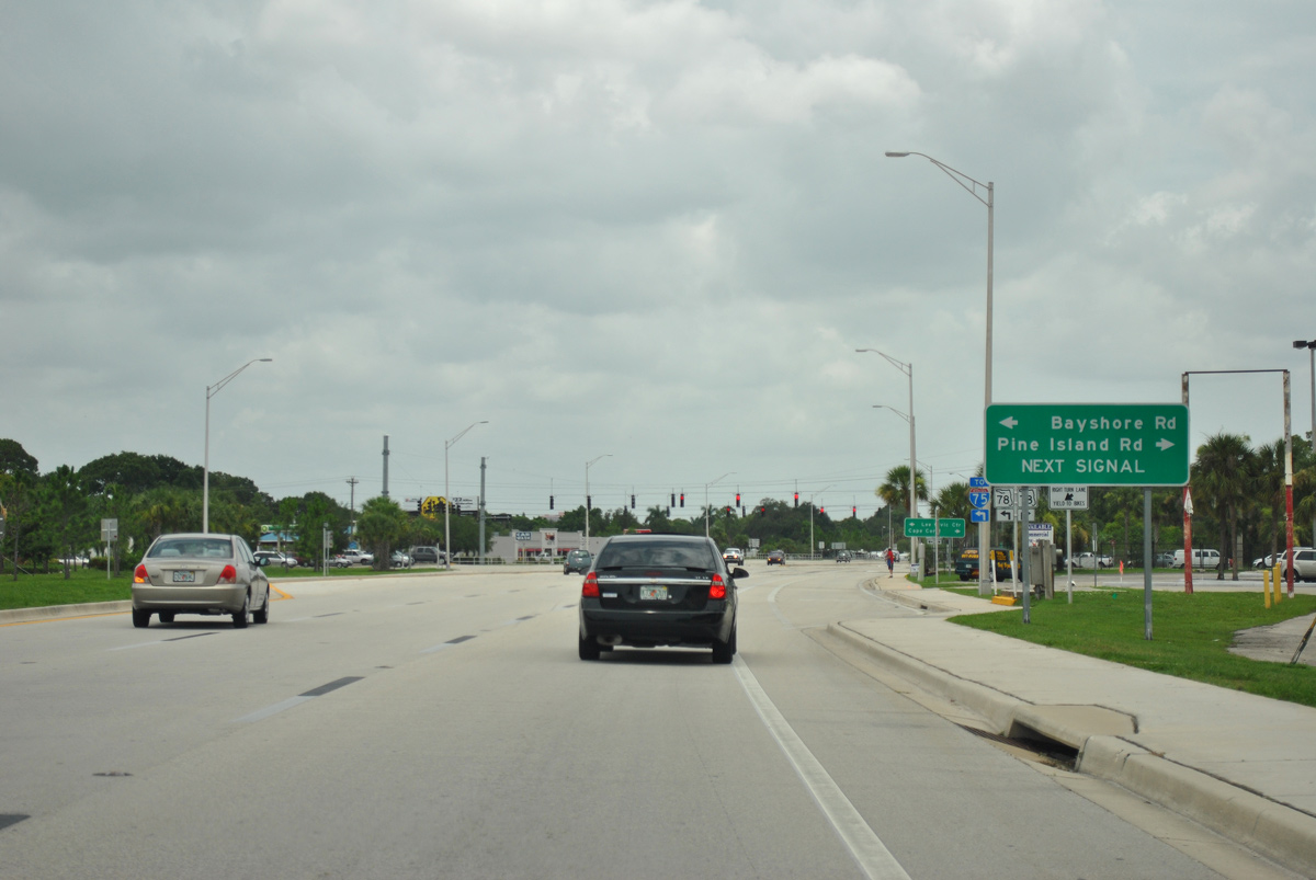
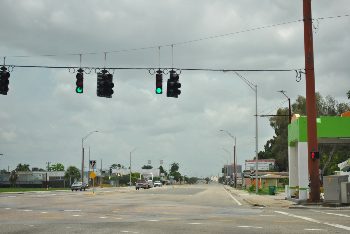
| SR 78 continues eastward from the Tamiami Trail to cross paths with Interstate 75 in 5.3 miles while Pine Island Road and SR 78 west head toward U.S. 41 (Cleveland Avenue) and Cape Coral. 11/26/15 |
|
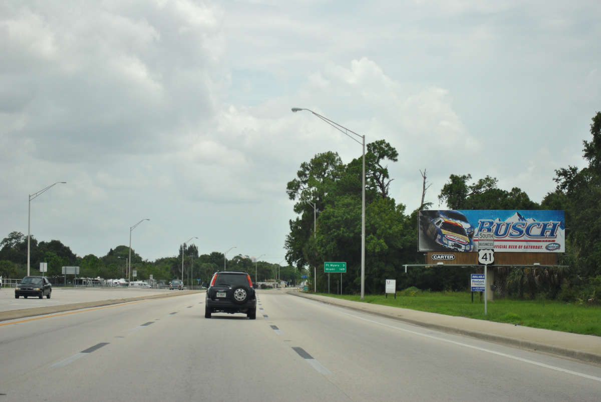
| South of SR 78, the Tamiami Trail segues into a six lane undivided arterial with a continuous center turn-lane as it advances through unincorporated North Fort Myers. Fort Myers lies three miles ahead with Miami still a 149 mile drive away. 07/09/11 |
|
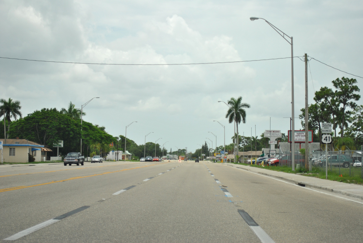
| A second reassurance shield stands along U.S. 41 Business south of Mariana Avenue in North Fort Myers. 07/09/11 |
|
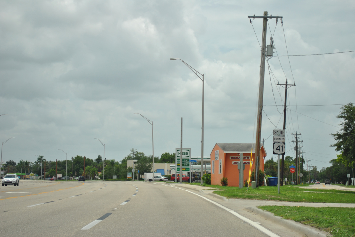
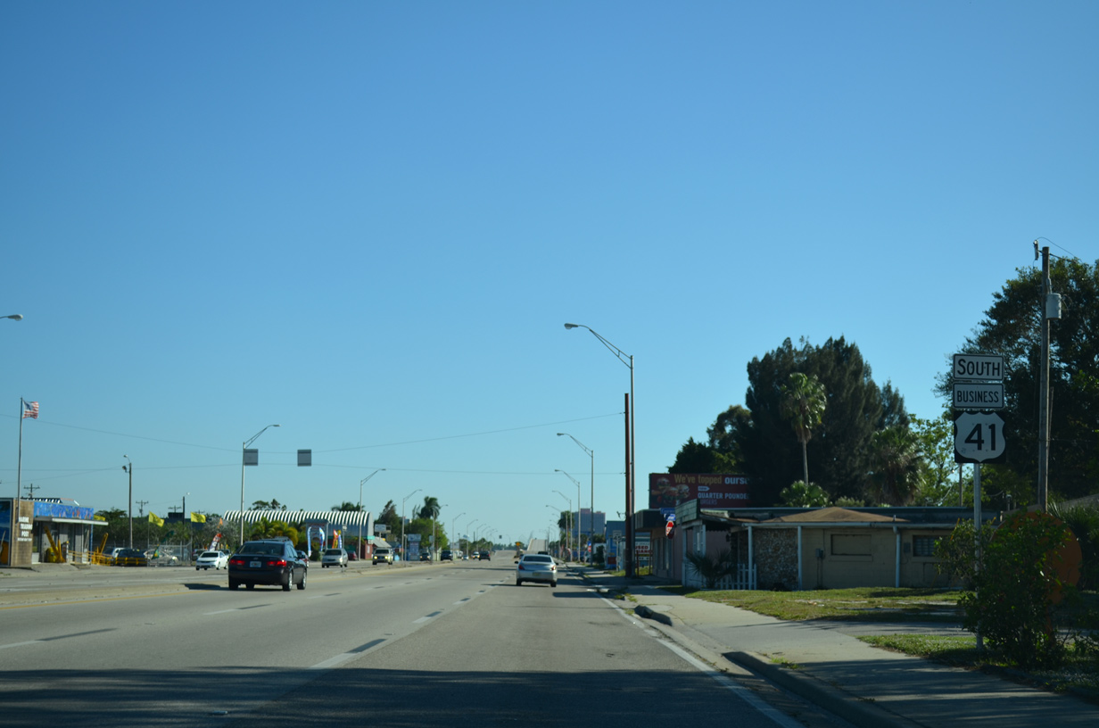
| U.S. 41 Business turns southeast at River and Brooks Roads. A single lane once departed southbound U.S. 41 Business for River Road prior to a realignment of the intersection. River Road forks south to Lee County Road 78A (Pondella Road) and a dead end by the Caloosahatchee River. 07/09/11 |
|
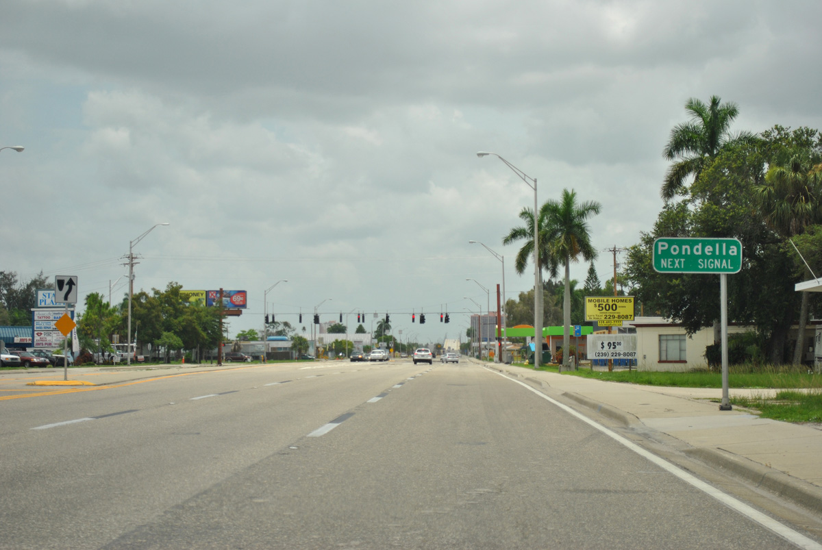
| Pondella Road intersects U.S. 41 Business (Tamiami Trail) just east of River Road near the center of North Fort Myers. Pondella Road doubles as unmarked Lee County Road 78A west to U.S. 41 and north Cape Coral. 07/09/11 |
|
| CR 78A (Pondella Road) beelines west 3.6 miles to end at SR 78 (Pine Island Road) just east of Del Prado Boulevard in north Cape Coral. Cardinal Drive continues east from U.S. 41 Business to serve a residential neighborhood. 07/09/11 |
|
| U.S. 41 Business continues southeast from Lee County Road 78A along a commercial strip preceding the Caloosahatchee River and Fort Myers. The southbound span of the Edison Bridge is seen in the distance. 11/28/13 |
|
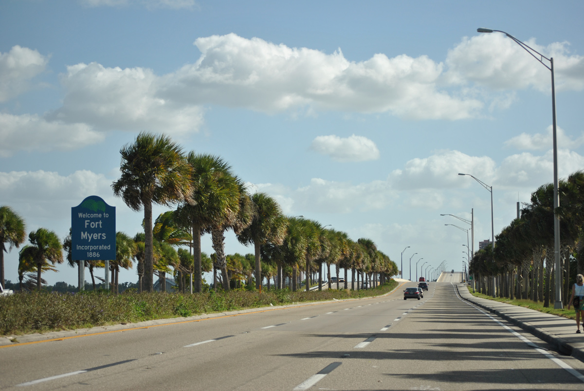
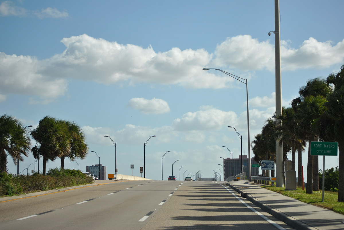
| Welcome to Fort Myers sign posted on the causeway leading to the Edison Bridge. Founded in 1886 and known as the City of Palms, Fort Myers is the county seat and commercial hub of Lee County. 11/26/15 |
|
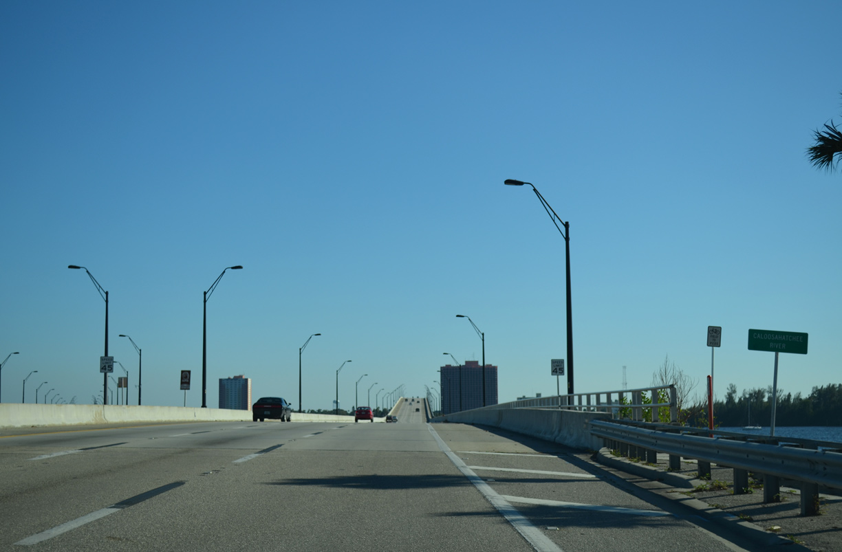
| Tamiami Trail and U.S. 41 Business officially enter Fort Myers over the south banks of the Caloosahatchee River via the Edison Bridge. 11/26/15 |
|
| The southbound span of the Edison Bridge follows the footprint of the former 1931-built drawbridge spanning the Caloosahatchee River into Fort Myers. 11/28/13 |
|
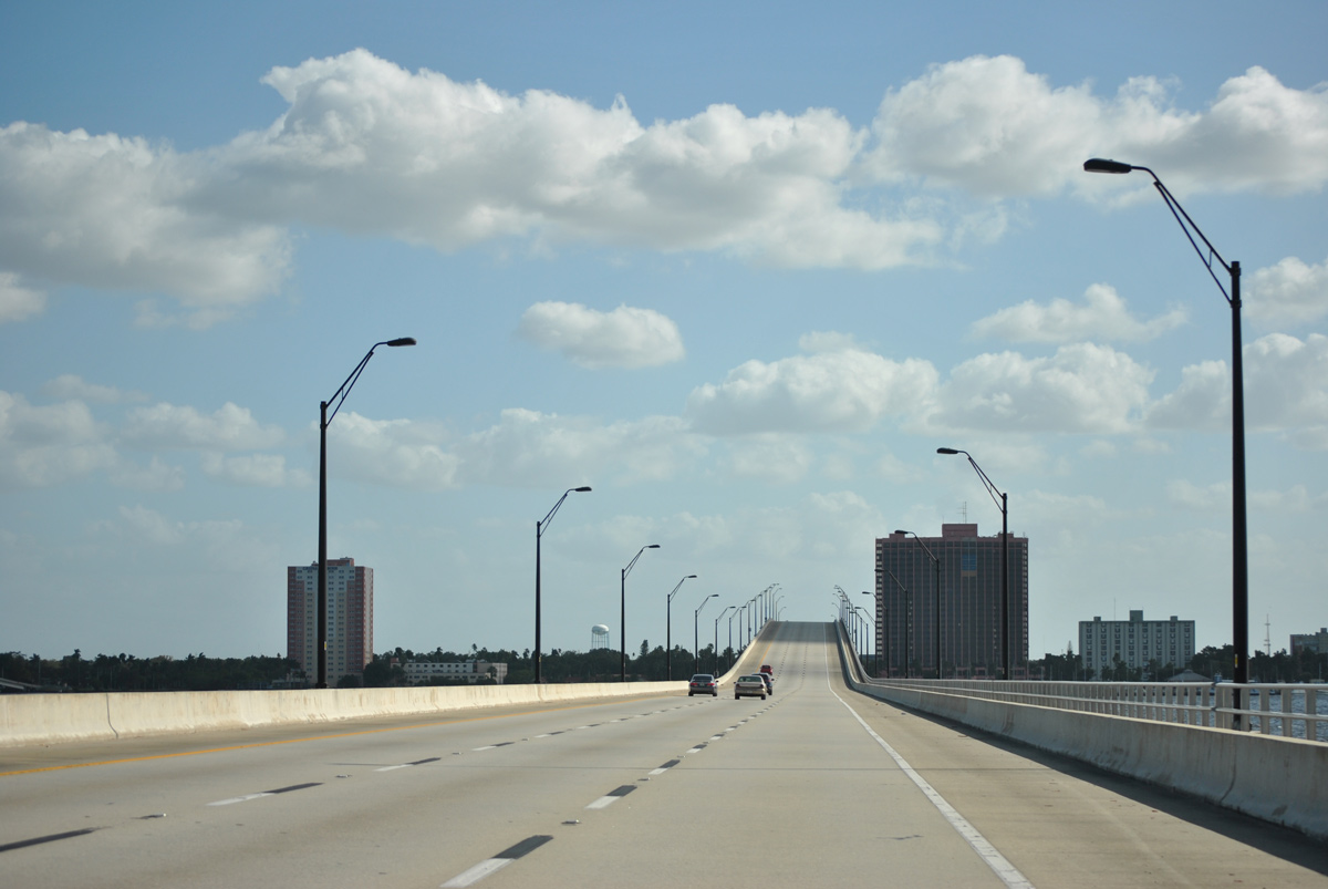
| The twin high-level bridges were opened to traffic in 1992 (northbound) and 1993 (southbound) creating a one way couplet into and out of the city by way of Fowler Street and Park Avenue. 11/26/15 |
|
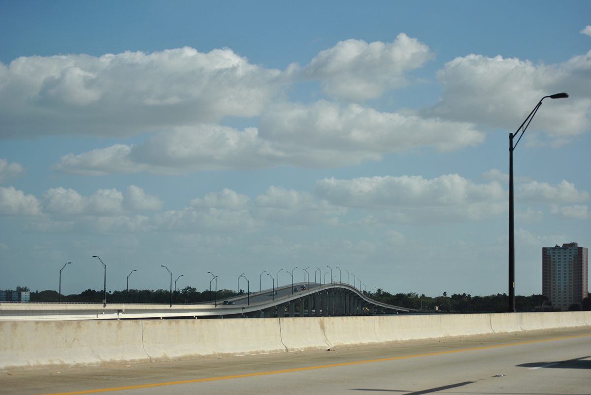
| Looking east at the northbound Edison Bridge crest. The southbound span is 653 feet shorter than its companion span at 4,577 feet in length. It also provides 54.8 feet of vertical clearance for vessels along the Calooshatchee River, one feet lower than its counterpart.2 11/26/15 |
|
| The 25-story former Harbor Place / Amtel Marina / Ambassador Riverfront Hotel rises along the Caloosahatchee Riverfront alongside Edwards Drive. Built in 1986, the high rise was abandoned in 2008 due to financial woes.3 11/28/13 |
|
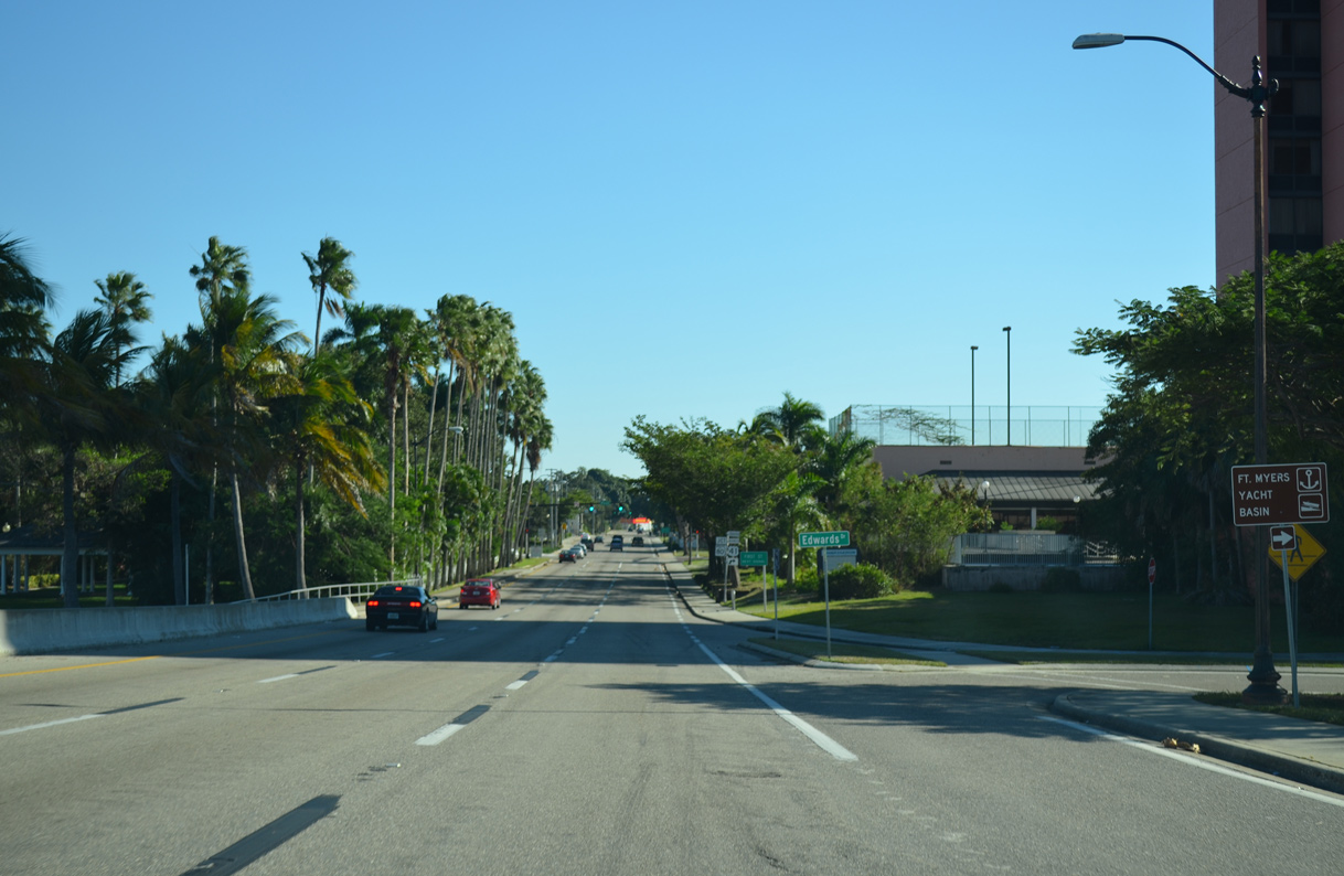
| U.S. 41 Business transitions from the Edison Bridge onto Fowler Street at Edwards Drive west to the Fort Myers Yacht Basin and Centennial Park. 11/28/13 |
|
| Removed by 2018, this shield assembly preceded the former split of U.S. 41 Business south from SR 739 along Fowler Street at SR 80 (First Street). U.S. 41 Business and SR 80 previously combined west into Downtown Fort Myers.
The historic Burroughs Home and Gardens lies at the northeast corner of the upcoming intersection. Built in 1901, the home offers historical tours and lifestyle events year round. 11/28/13 |
|
| First Street carries SR 80 west from Seaboard Street and Palm Beach Boulevard to Fowler Street. The state road designation ends at U.S. 41 Business (Fowler Street) south, with unsigned CR 80 lining First Street through Downtown Fort Myers.4
Historically U.S. 41 Business followed SR 80 from this point west along First and Bay Streets in Downtown back to U.S. 41. 11/28/13 |
|
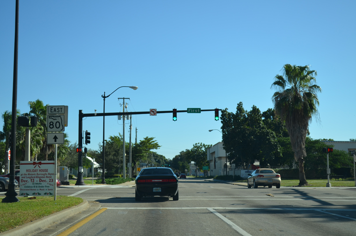
| Second Street leads east from U.S. 41 Business & SR 739 (Fowler Street) as the resumption of SR 80 east. The state road provides one of two routes between Downtown and Interstate 75. 11/26/15 |
|
| SR 80 angles northeast from U.S. 41 Business (Fowler Street) to Tice and Fort Myers Shores. The state road connects Southwest Florida with LaBelle and Clewiston as part of a trans-peninsular route east to Moore Haven, South Bay, Belle Glade and West Palm Beach. 11/28/13 |
|
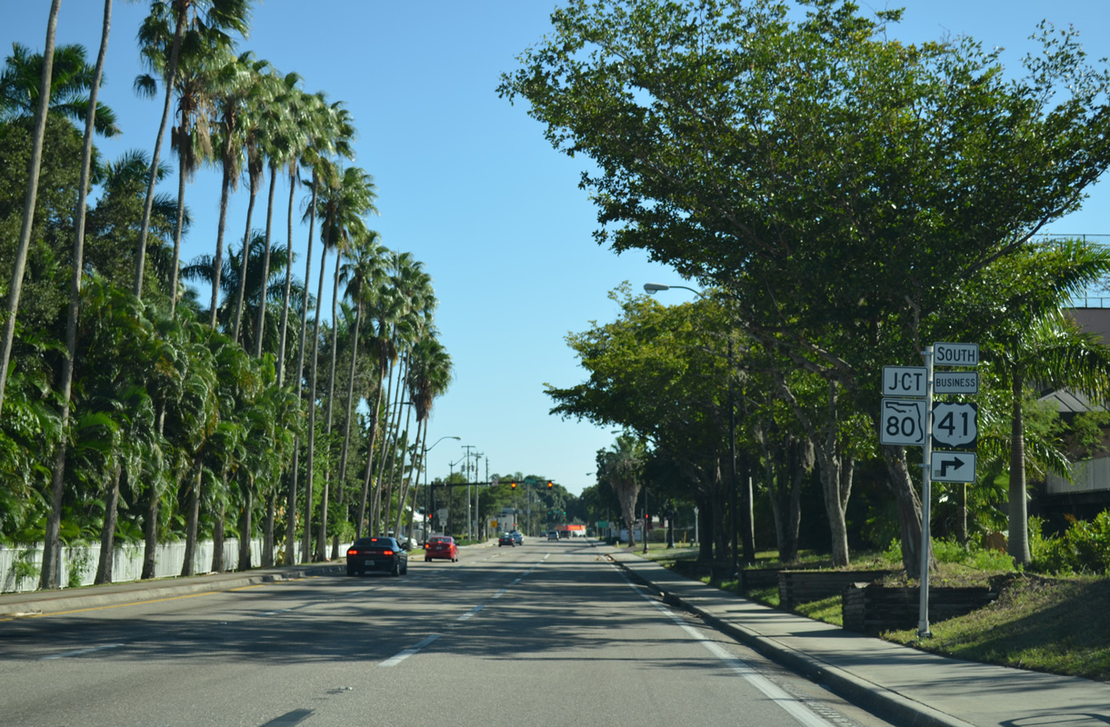
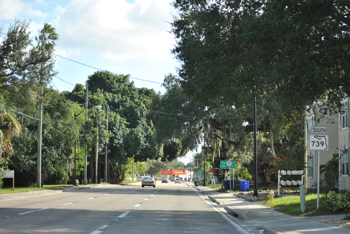
| SR 739 emerges from its hidden overlap with U.S. 41 Business south of Second Street. This shield assembly should reflect U.S. 41 Business as well, as the two overlap for another 0.3 miles. 11/26/15 |
|
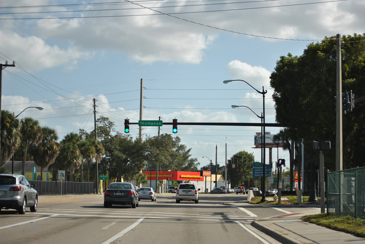
| Thompson Street angles northeast from SR 82 at Central Avenue to U.S. 41 Business & SR 739 north on Evans Avenue. 11/26/15 |
|
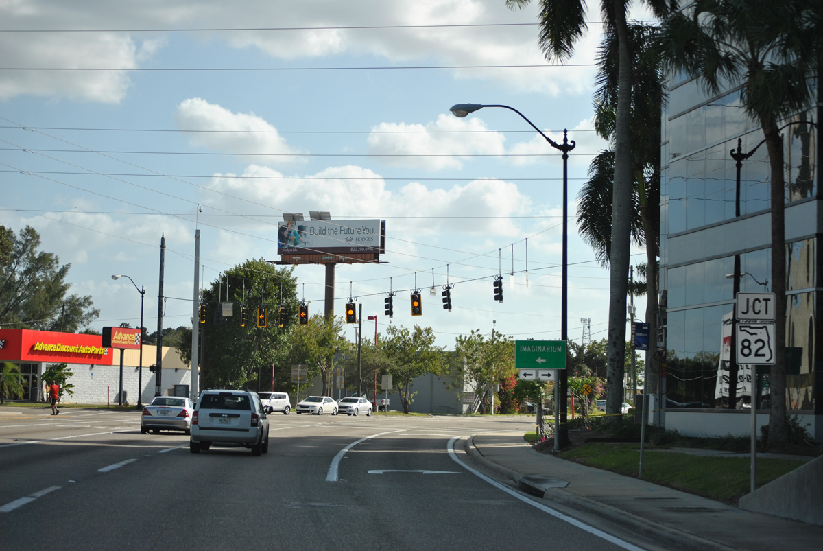
| SR 739 curves southward through the upcoming intersection with SR 82 (Dr. Martin Luther King, Jr. Boulevard). An unsigned turn takes U.S. 41 Business west alongside SR 82 from Fowler Street ahead. 11/26/15 |
|
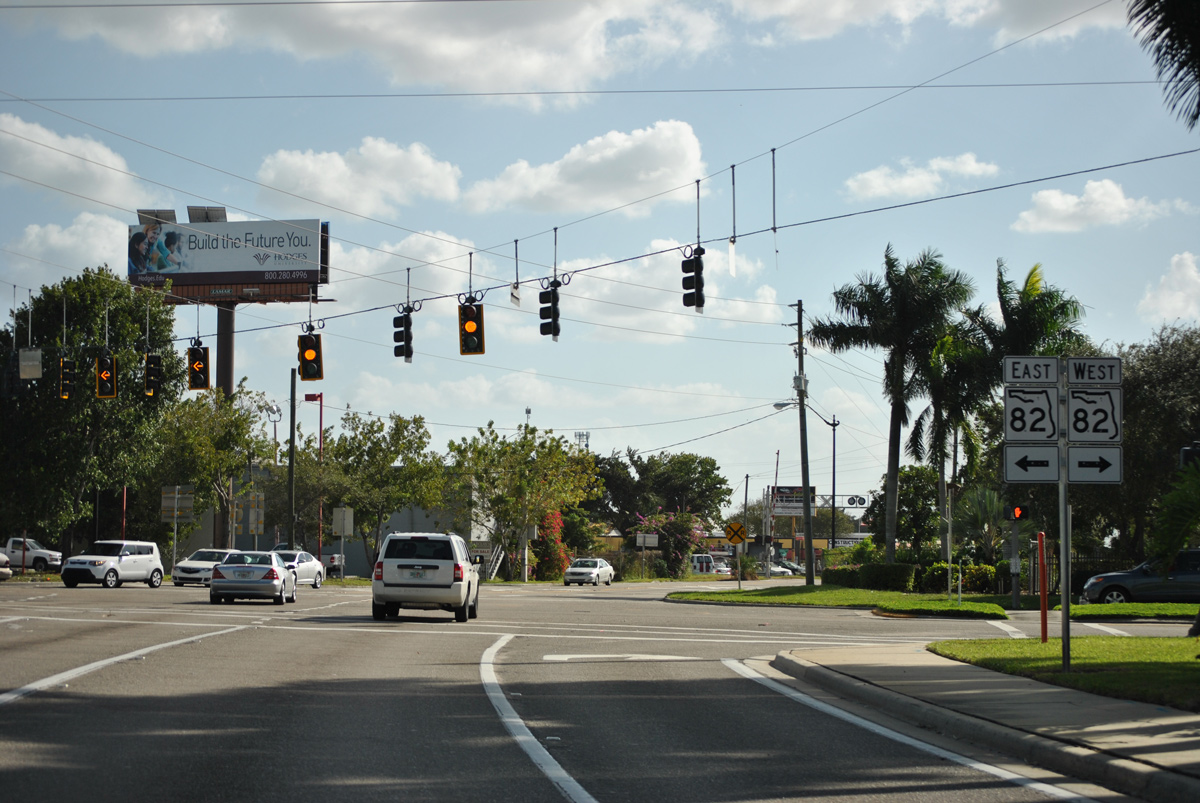
| Traveling 29.9 miles overall, SR 82 angles southeast from U.S. 41 and Downtown Fort Myers to Lehigh Acres and SR 29 near Immokalee. SR 739 meanwhile extends south from U.S. 41 Business to Metro Parkway and U.S. 41 near Estero. 11/26/15 |
|
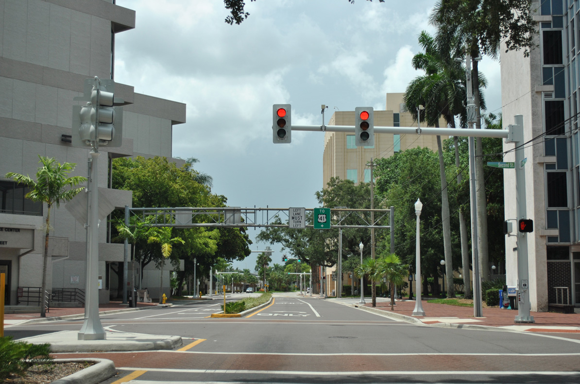
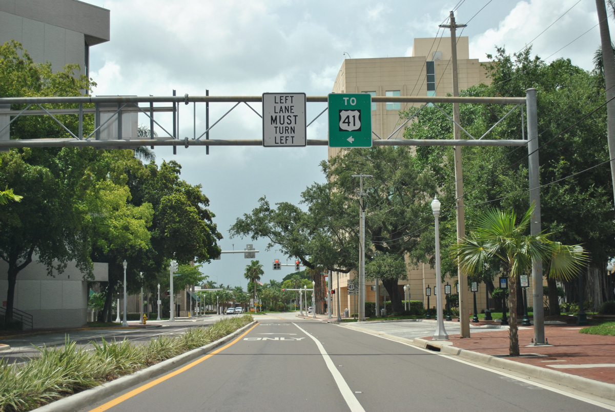
| U.S. 41 trailblazers take the place of signage for U.S. 41 Business south along the legs on Monroe Street north and Main Street west. Pictured here is the traffic light on Monroe Street north at 2nd Street. 2nd Street formerly carried both U.S. 41 Business north & SR 80 east to SR 739 (Park Avenue). 07/09/11 |
|
| U.S. 41 Business turns west from Monroe Street onto Main Street for the final approach to U.S. 41 and the Five Points interchange. 07/09/11 |
|
| Main Street is state maintained as SR 80 along the 0.168 mile section between Monroe Street and U.S. 41 Business south. Monroe Street north of Main Street represents the old alignment of U.S. 41 Business south & SR 80 west from First Street. 07/09/11 |
|
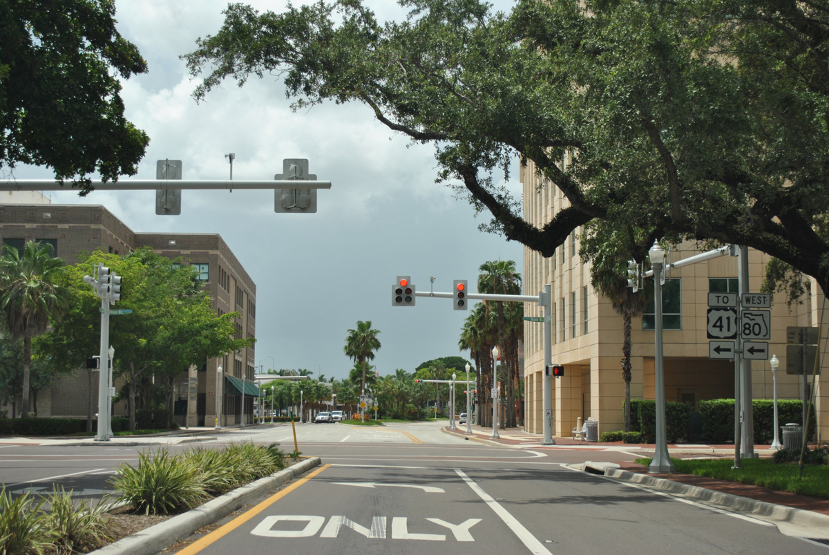
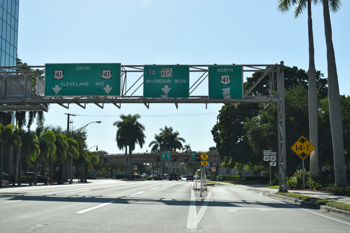
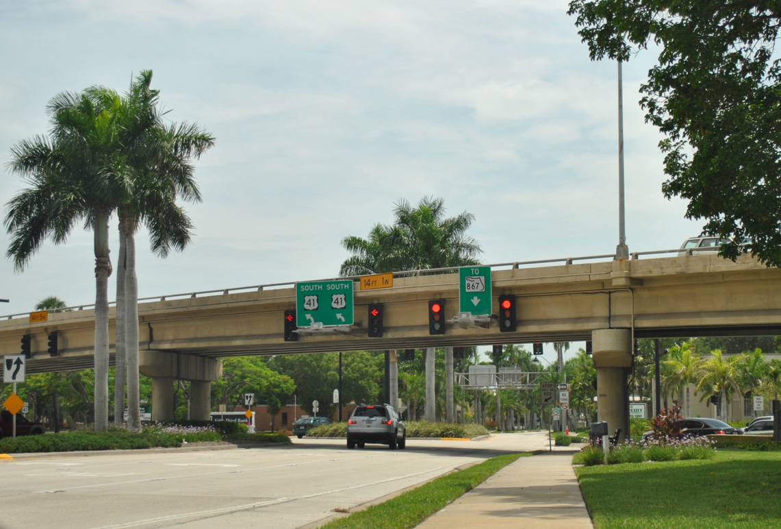
| U.S. 41 Business south / SR 80 (Main Street) west enter the Five Points interchange with U.S. 41. The exchange represents the original west end of SR 80 and north end of SR 867. 11/30/19 |
|
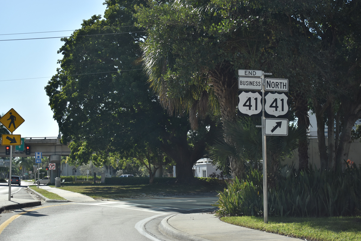
| U.S. 41 Business south concludes with an end shield posted along the on-ramp for the Caloosahatchee Bridge for U.S. 41 northbound toward North Fort Myers, Palmona Park and Punta Gorda. 11/30/19 |
|
| Main Street west defaults onto McGregor Boulevard (old SR 867) south to the Edison Park and Seminole Park historic districts. U.S. 41 transitions into a commercial arterial (Cleveland Street) south to Colonial Boulevard and Estero. 07/09/11 |
Page Updated 12-02-2019.