|
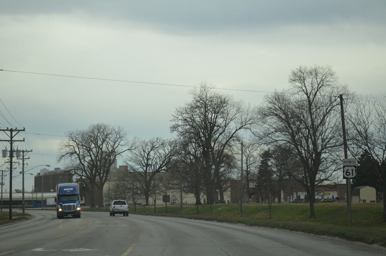
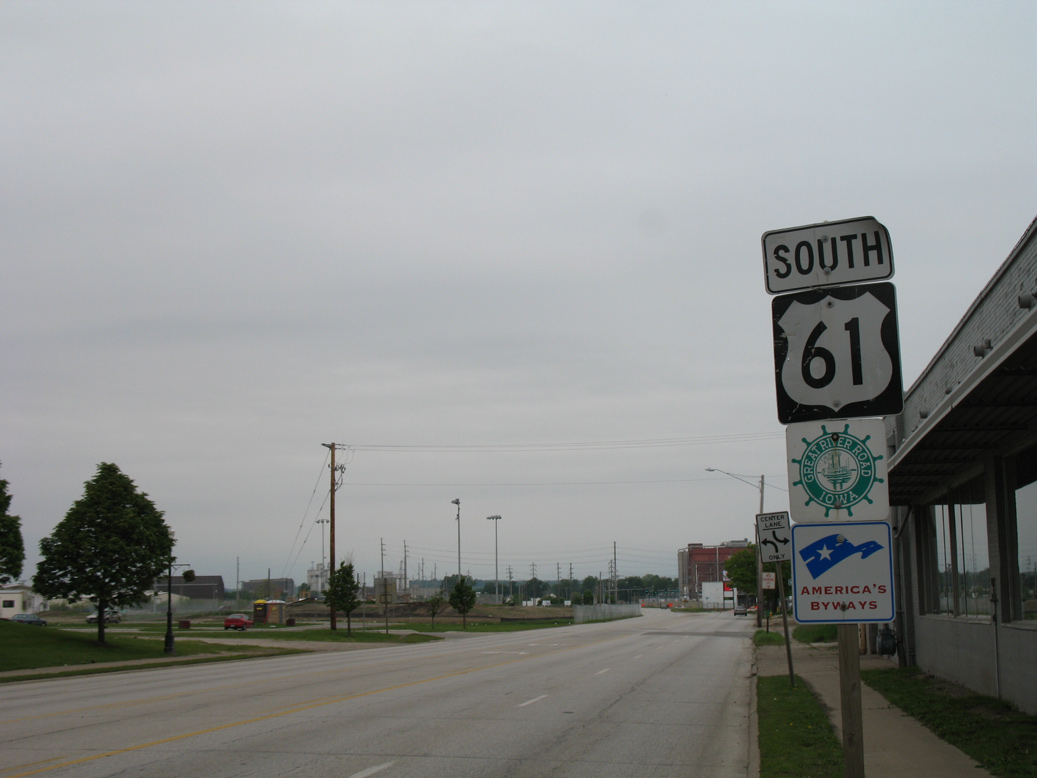
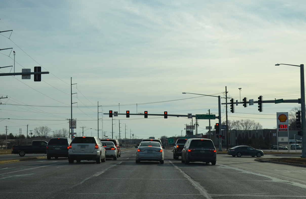
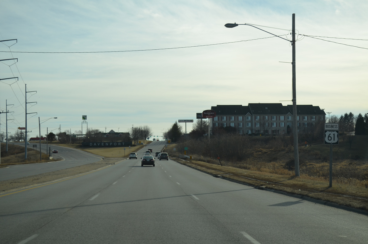
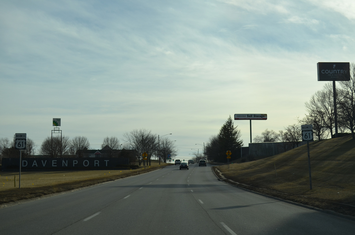
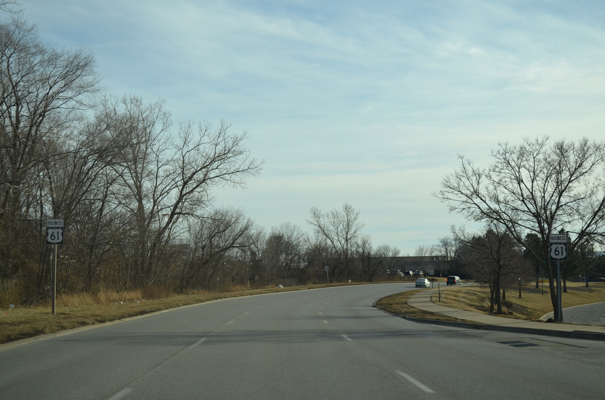
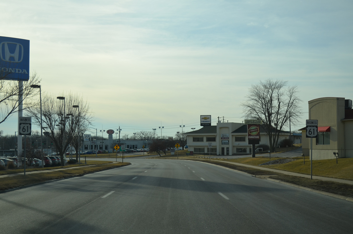
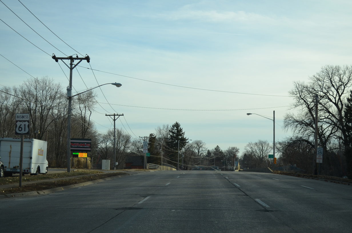
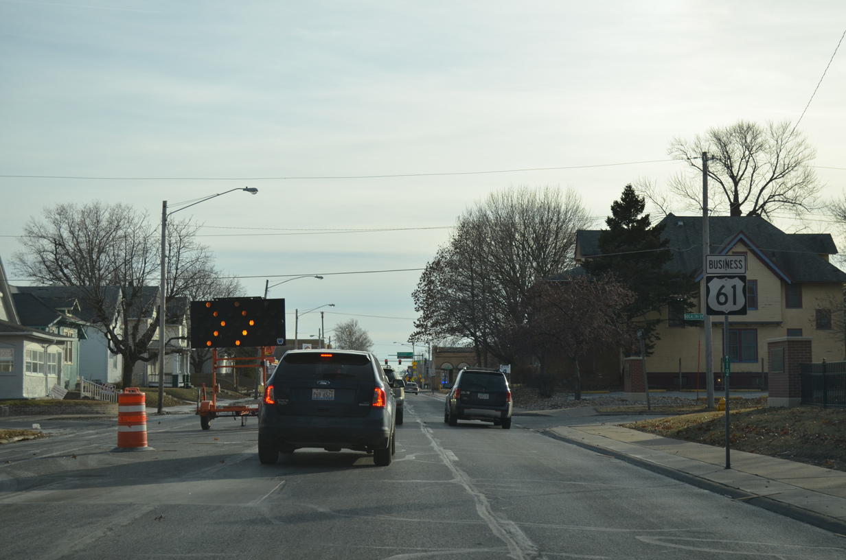
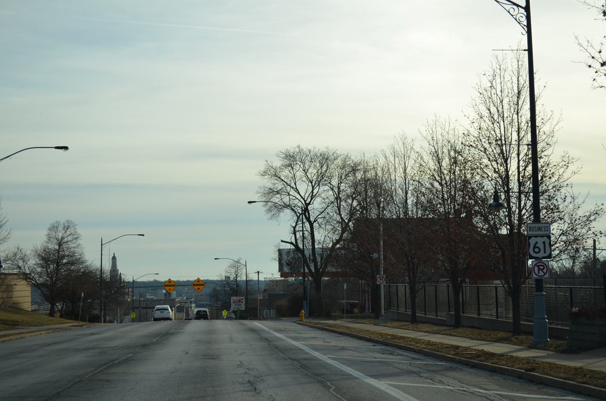
| The freeway from U.S. 61 transitions into an at-grade arterial as U.S. 61 Business leads away from Interstate 80 toward Veterans Memorial Parkway and West 65th Street. 01/01/15 |
|
| Veterans Memorial Parkway was constructed as a new east-west corridor across northern Davenport to spur economic development. The arterial route opened east to Jersey Ridge Road on December 16, 2013. Further lengthening of the route brings the parkway to the new Rhythm City Casino complex by I-74 and I-80 and Utica Ridge Road in Bettendorf. 01/01/15 |
|
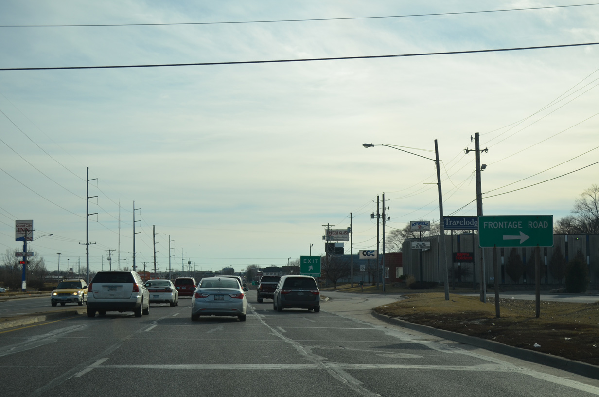
| U.S. 61 Business (Brady Street) incorporates a frontage road system between West 65th and 61st Streets. 01/01/15 |
|
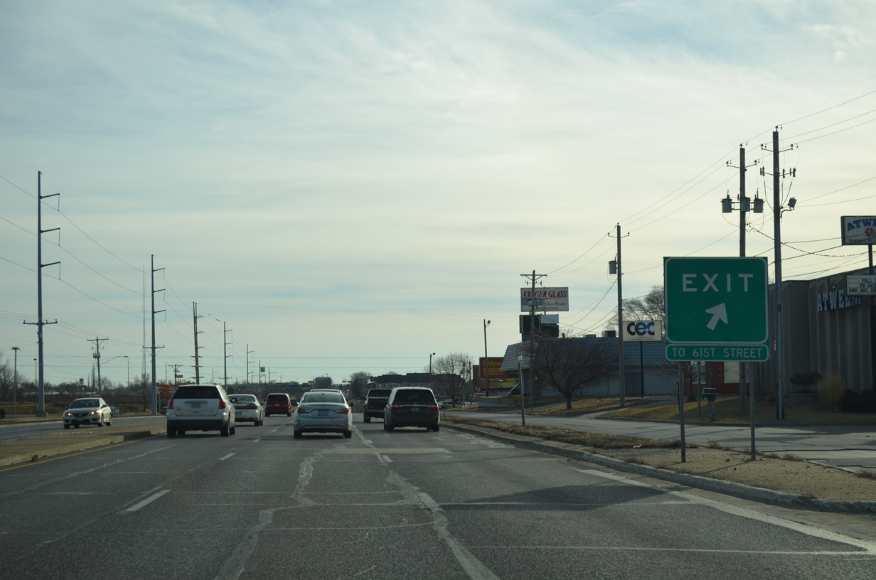
| Motorists bound for West 61st Street into the Goose Creek Heights neighborhood are directed onto the southbound frontage road. 01/01/15 |
|
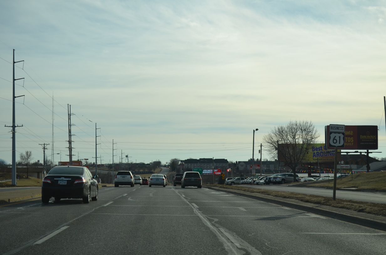
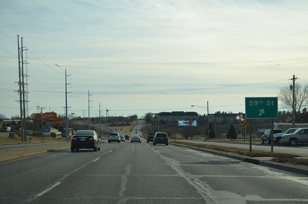
| U.S. 61 Business (Brady Street) south continues uninterrupted to 59th Street. 01/01/15 |
|
| A jughandle intersection joins U.S. 61 Business (Brady Street) with 59th Street. 01/01/15 |
|
| West 59th Street leads to Goose Creek Heights while East 59th Street serves an industrial park along Deere Creek. 01/01/15 |
|
| Advancing south from 59th Street, Brady Street crosses Goose Creek. 01/01/15 |
|
| U.S. 61 separates into separate roadways with Welcome Way carrying southbound traffic beyond Goose Creek. 01/01/15 |
|
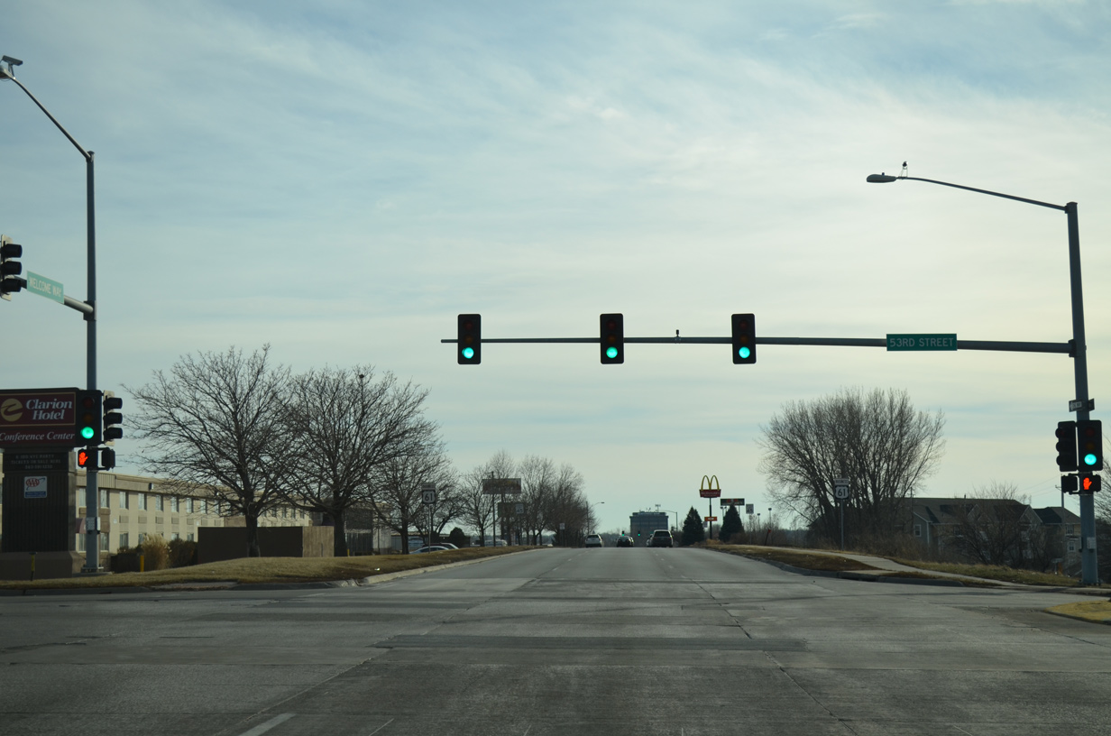
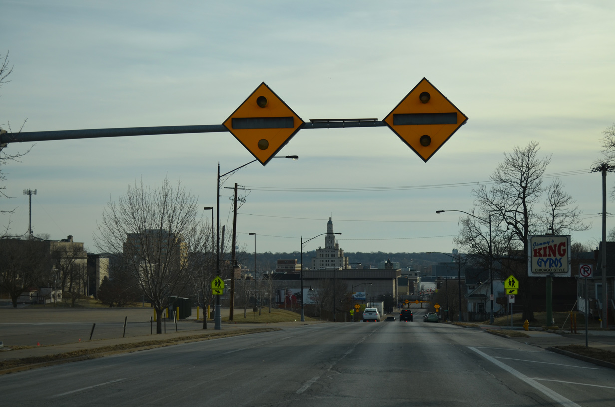
| 53rd Street comprises a busy east-west arterial across the north side of both Davenport and Bettendorf. The commercial route also provides access to Interstate 74. 01/01/15 |
|
| The roadways of U.S. 61 separate further with an assortment of businesses in between. 01/01/15 |
|
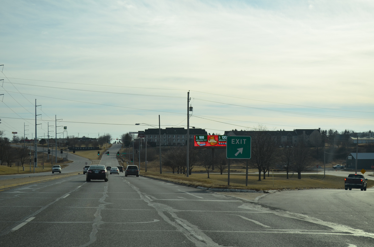
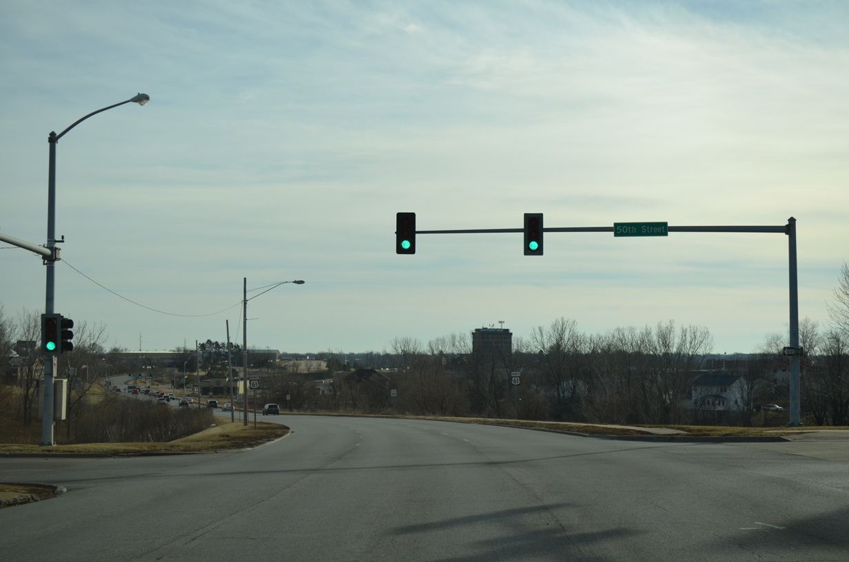
| Sheridan Street arcs south from West 53rd Street to becomes 50th Street at U.S. 61 Business (Welcome Way) south. 50th Street ends at Brady Street. 01/01/15 |
|
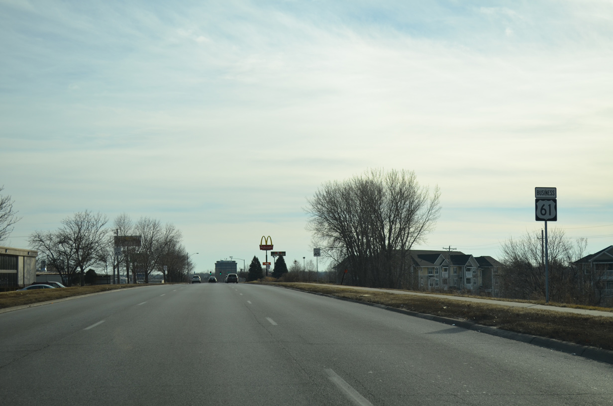
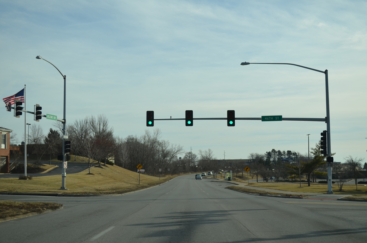
| U.S. 61 Business is well signed along Welcome Way southbound as the Northwest Bank building comes into view. 01/01/15 |
|
| 46th Street crosses U.S. 61 Business at the next traffic light. The street spurs into an industrial area east of Brady Street. West the road serves as a residential through road for a number of subdivisions. 01/01/15 |
|
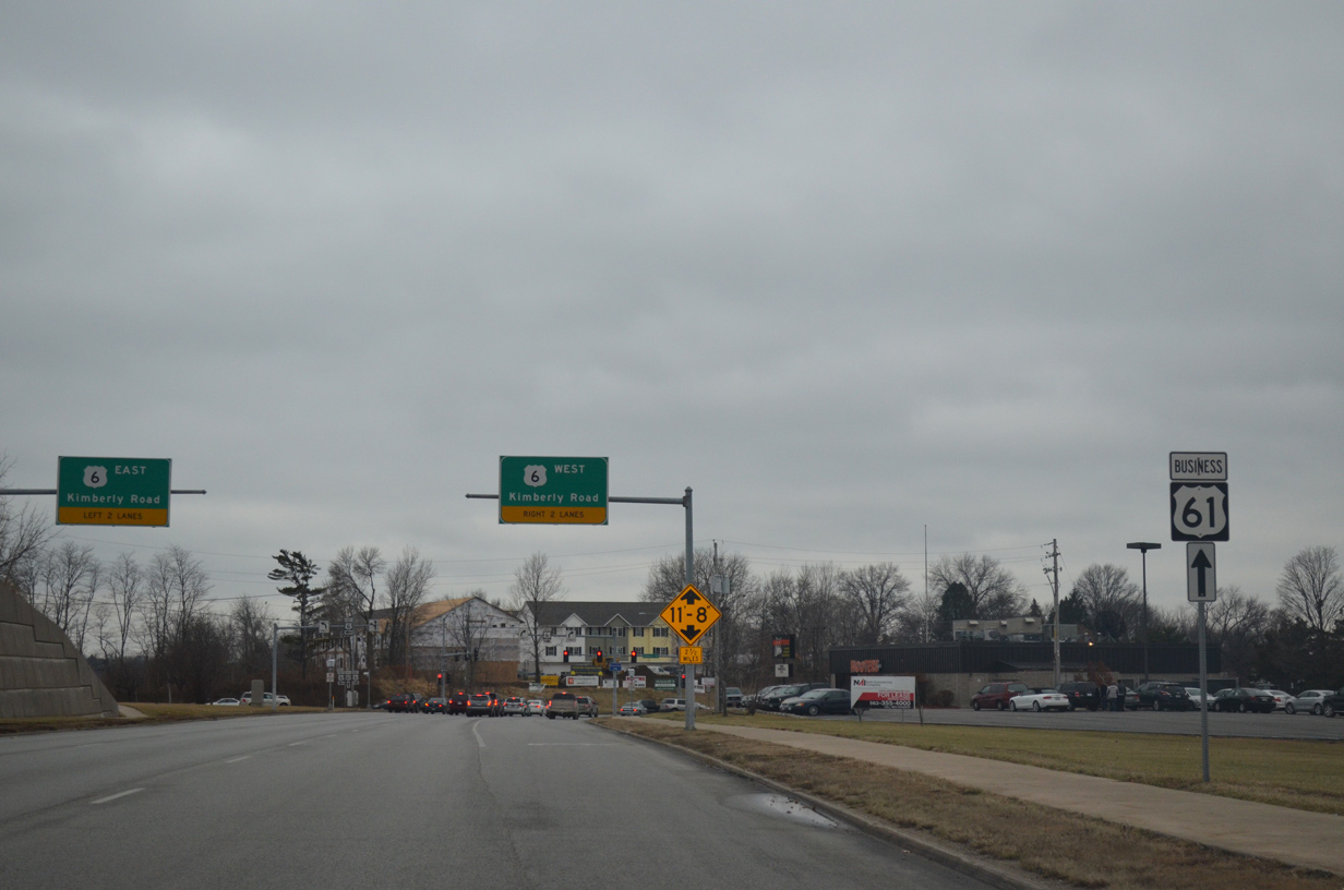
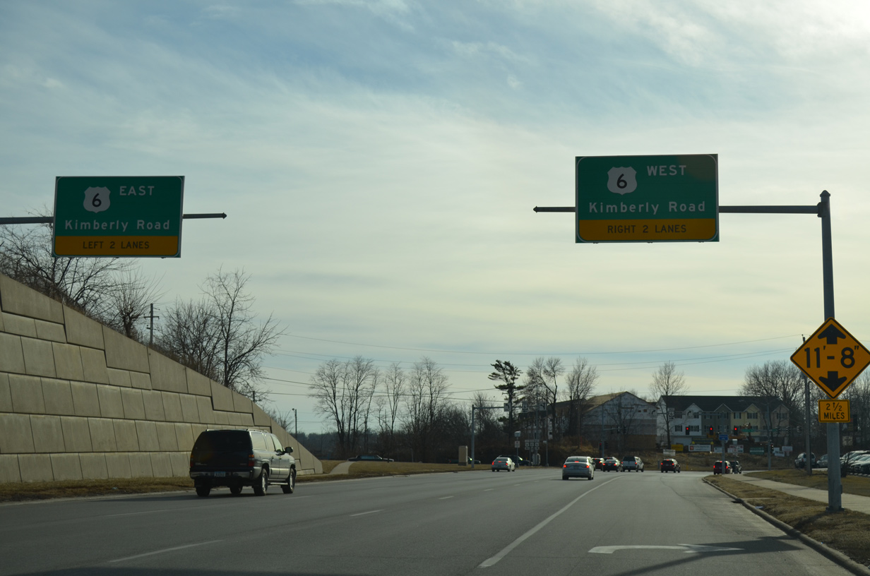
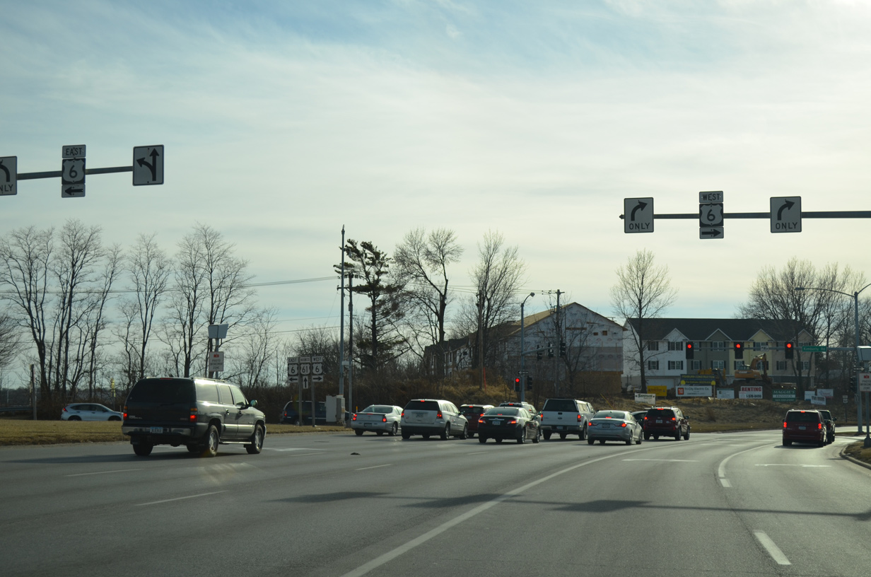
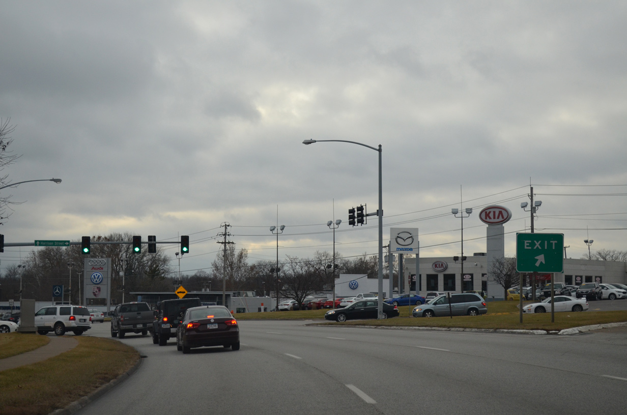
| U.S. 61 Business (Welcome Way) curves around the periphery of NorthPark Mall from 46th Street to U.S. 6 (Kimberly Road). 01/01/15 |
|
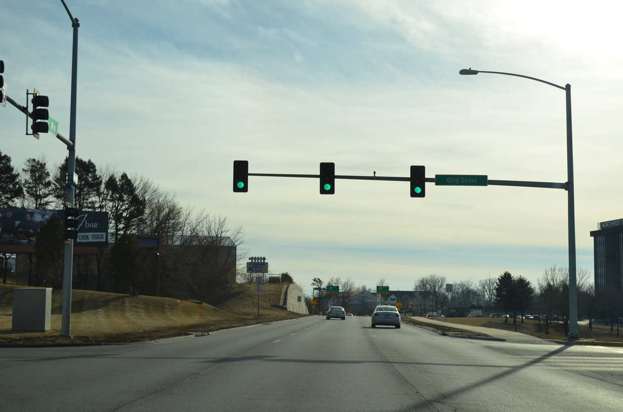
| 42nd Street provides the lone entrance to NorthPark Mall from U.S. 61 Business. A SouthPark Mall is located in Moline, Illinois. 01/01/15 |
|
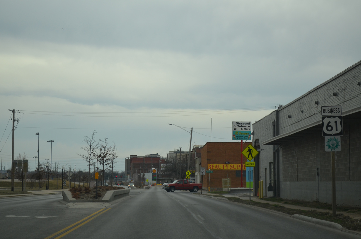
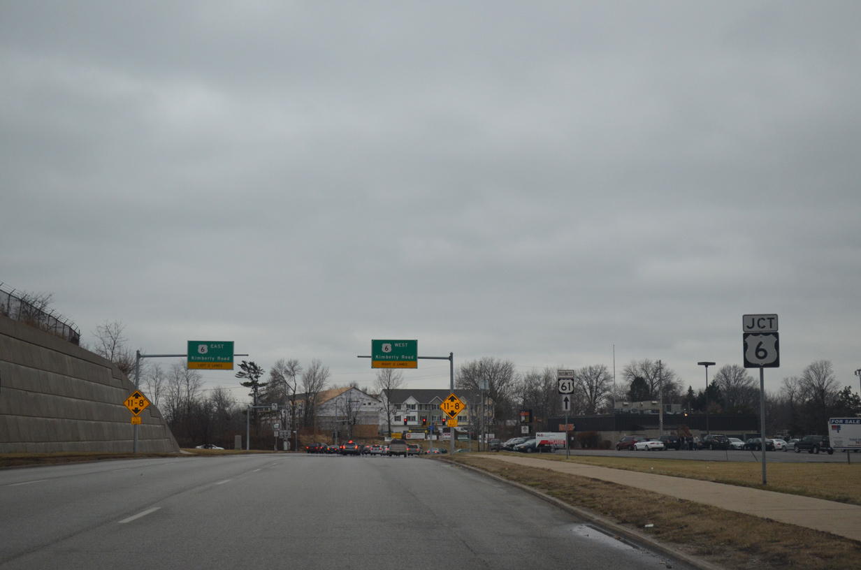
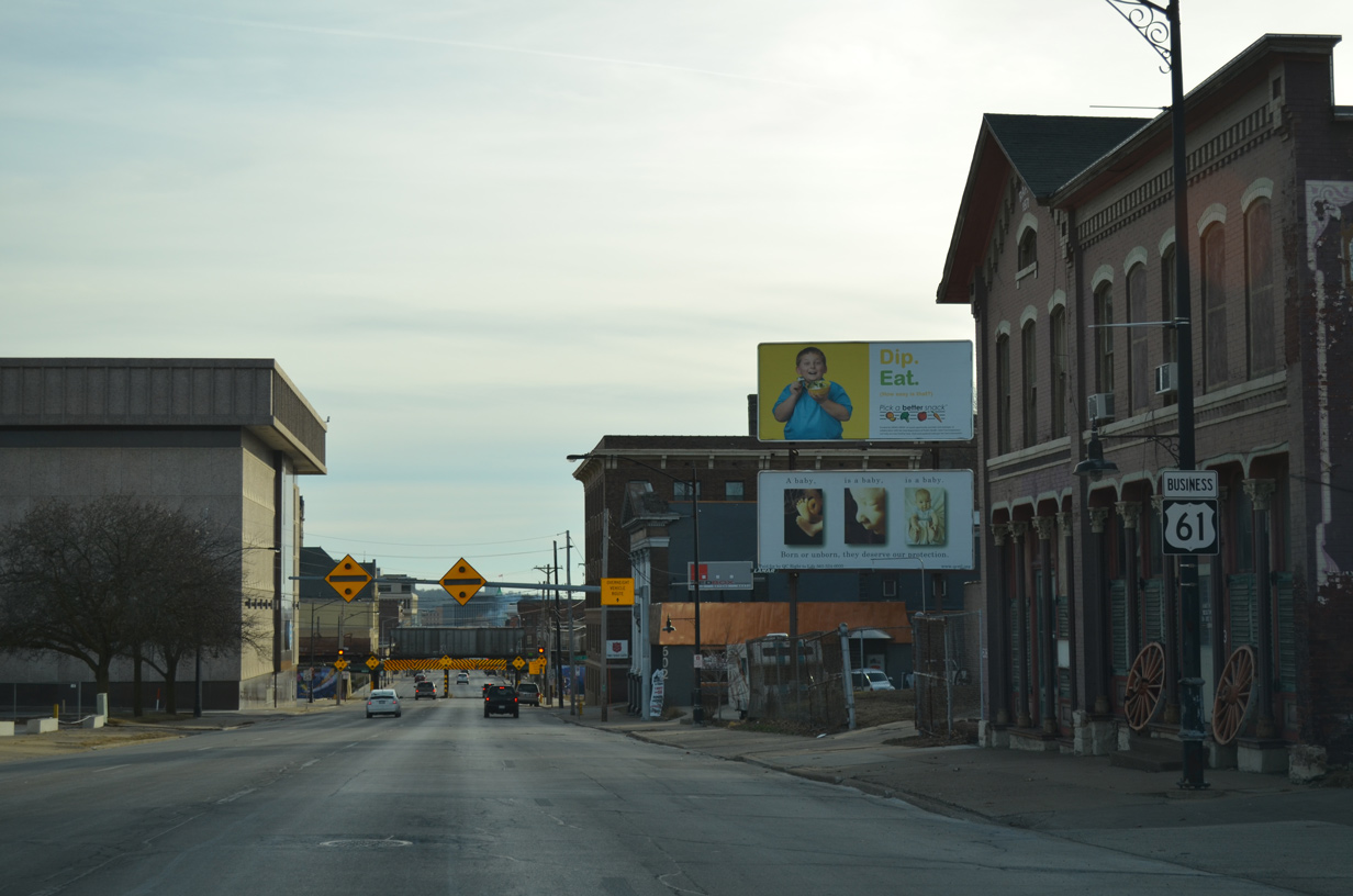
| U.S. 6 (Kimberly Road) represents the main east-west route across suburban areas of central Davenport. The US route is the lone remaining route between U.S. 61 Business and Interstate 280, as Iowa 122, 150 and 350 were all decommissioned. 12/27/14 |
|
| A clearance sign appears beyond this trailblazer for U.S. 61 Business south alerting truckers to the low clearance of the railroad bridge across Harrison Street at 5th Street in 2.5 miles. 12/27/14 |
|
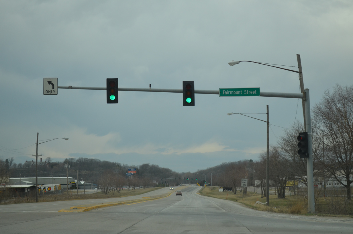
| A pair of overheads direct motorists onto U.S. 6. Better known locally as Kimberly Road, U.S. 6 forms a busy arterial route leading east to Interstate 74 and Bettendorf and west to Fairmount Street and the still rural northwest portion of the city. 01/01/15 |
|
| U.S. 6 (Kimberly Road) lines the south side of NorthPark Mall along a busy retail corridor stretching west to Marquette Street. Leaving the city in either direction, U.S. 6 overlaps with the Interstate system as part of its long distance route east to Moline and west to Iowa City. 01/01/15 |
|
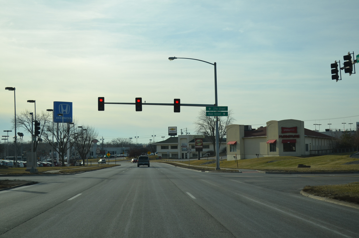
| Main Street links NorthPark Mall with U.S. 61 Business (Welcome Way) south at 37th Street. 01/01/15 |
|
| Welcome Way turns more westerly from U.S. 6 to Northwest Boulevard (old Iowa 130). 01/01/15 |
|
| Northwest Boulevard ties into U.S. 61 Business south at the curve from Welcome Way to Harrison Street. The boulevard was a part of Iowa 130 until 1985 and Iowa 150 until 1969. 12/27/14 |
|
| Harrison Street south was also formerly a part of Iowa 150 and later 130 before Brady Street was turned into a one way street in 1973. 01/01/15 |
|
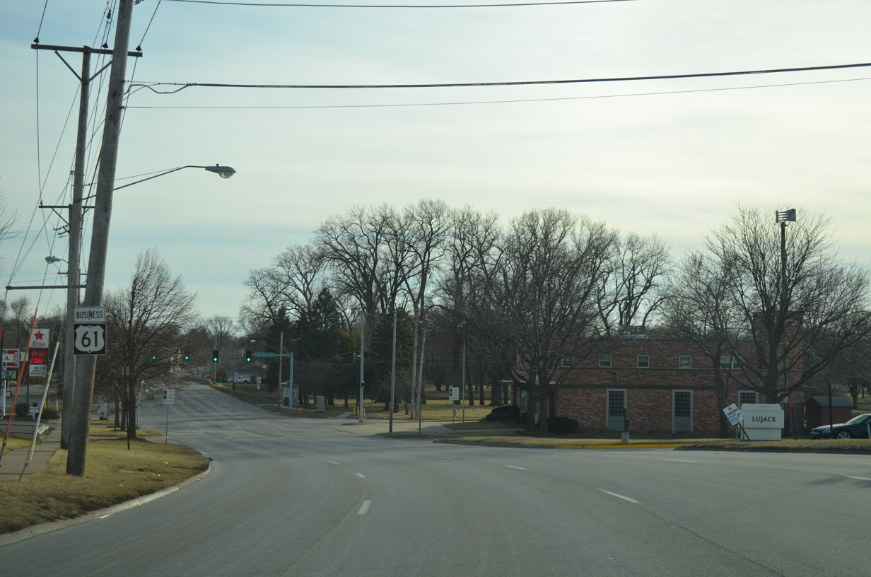
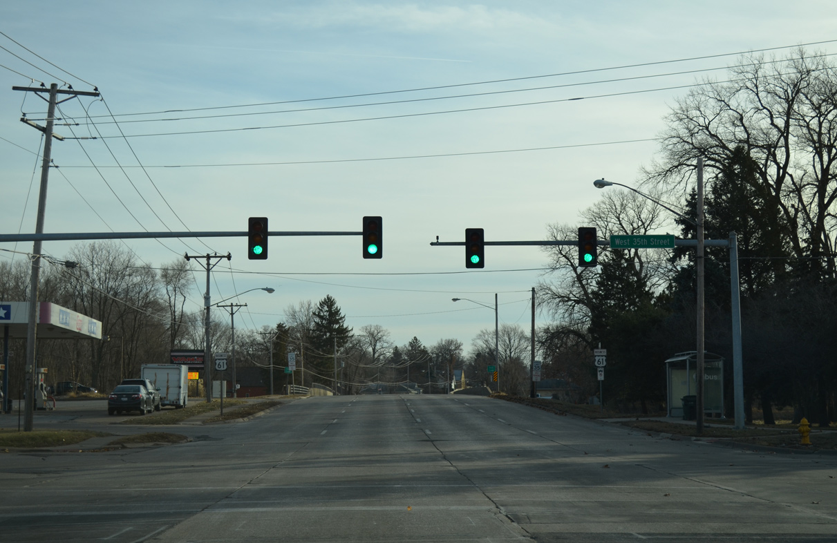
| 35th Street parallels Duck Creek west from U.S. 61 Business (Brady Street) north to Division Street (former Iowa 122). 01/01/15 |
|
| Four lanes of Harrison Street south proceed to cross over Duck Creek and Duck Creek Trail Parkway. 01/01/15 |
|
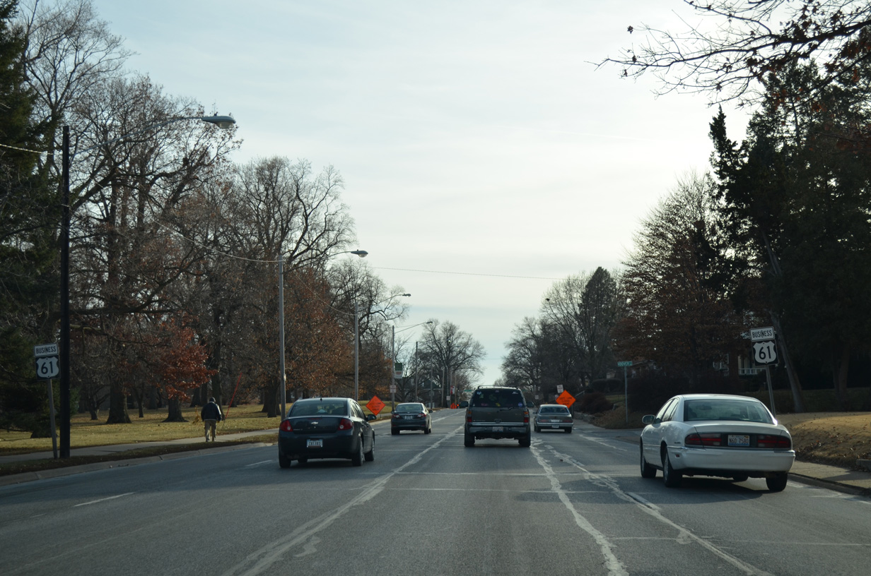
| U.S. 61 Business south travels across the Davenport street grid for the remainder of Harrison Street south to Downtown. 01/01/15 |
|
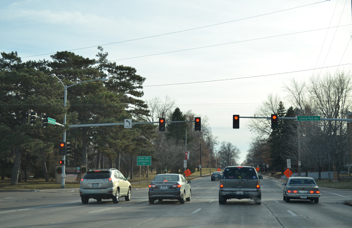
| Central Park Avenue intersects U.S. 61 Business (Harrison Street) south at the Norwood Park and Vander Veer Historic Neighborhoods. 01/01/15 |
|
| Harrison Street lines the west side of Vander Veer Botanical Park and Conservatory over the next three blocks. 01/01/15 |
|
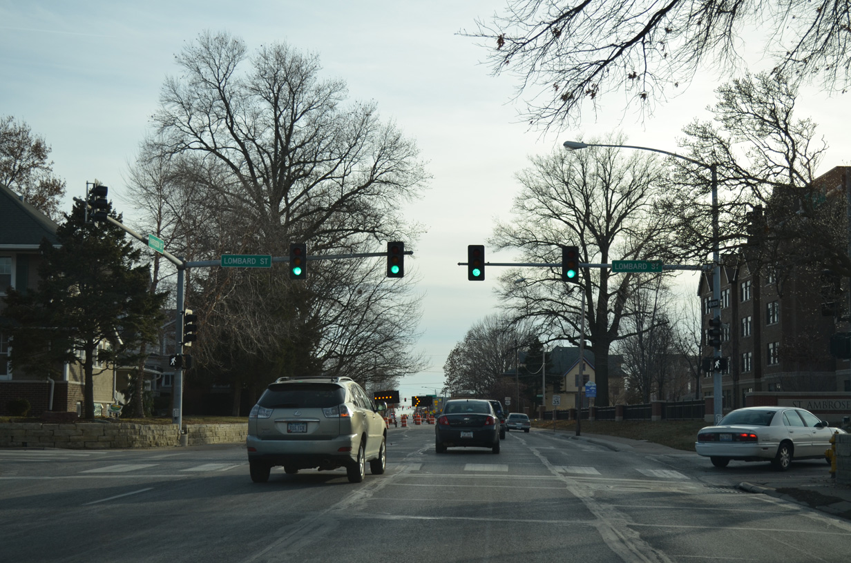
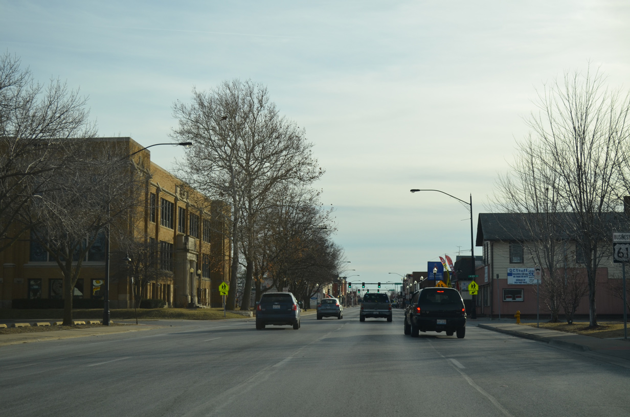
| Lombard Street stems west from Brady Street to intersect Harrison Street south ahead of St. Ambrose University and the Glen Armil community. 01/01/15 |
|
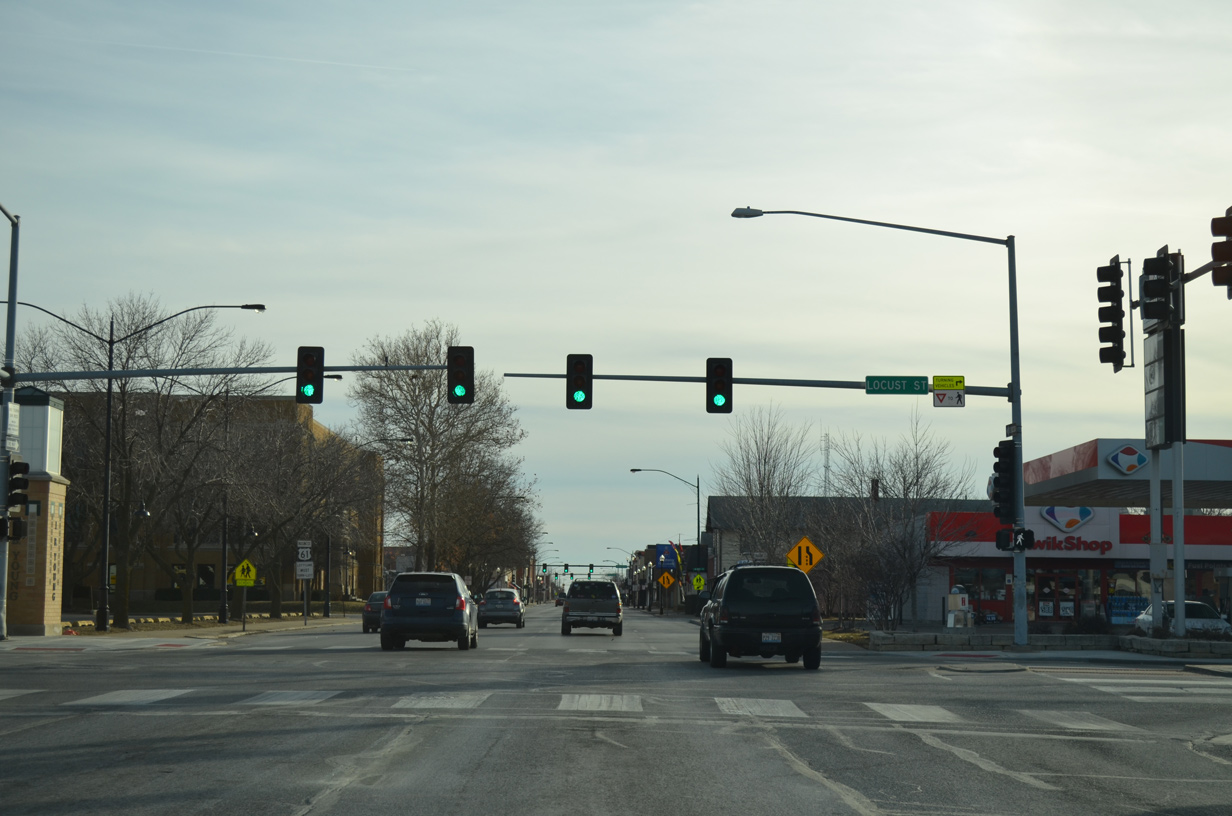
| St. Ambrose University lies west of U.S. 61 Business to Locust Street. 01/01/15 |
|
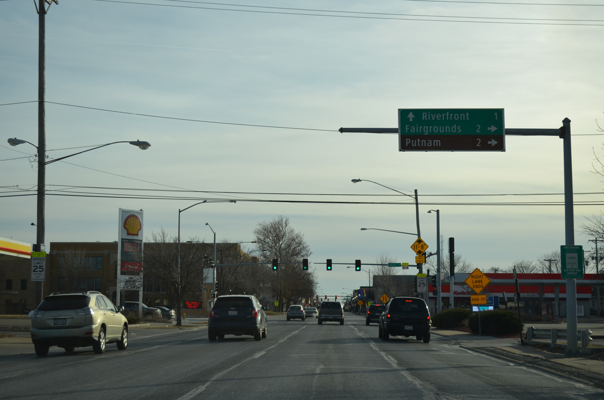
| Locust Street, the historic alignment of U.S. 6, leads west from U.S. 61 Business to the Historic Washington Street neighborhood and the Mississippi Valley Fairgrounds. U.S. 6 followed the street west to Hickory Grove Road, which later became Iowa 350. 01/01/15 |
|
| East from U.S. 61 Business, Locust Street continues to the East Bluff Neighborhood and the city line at Kimberly Road. There Middle Road takes over through Bettendorf. Old U.S. 6 turned south onto Bridge Avenue. 01/01/15 |
|
| North Main Street parallels the couplet of U.S. 61 Business, one block to the east to River Drive (U.S. 67). 01/01/15 |
|
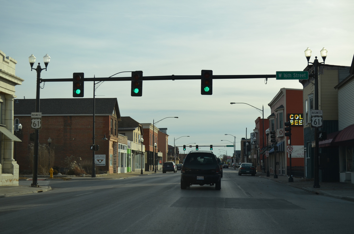
| Southbound U.S. 61 Business (Harrison Street) at 16th Street. 01/01/15 |
|
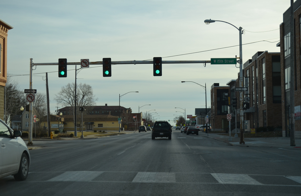
| A staggered intersection follows with 15th Street westbound. 01/01/15 |
|
| A reassurance shield and trailblazer for U.S. 61 Business appear along Harrison Street south at 13th Street. 01/01/15 |
|
| U.S. 61 Business south drops at an 8% grade from 12th Street toward the Mississippi River as Harrison Street reaches the bluff line. 01/01/15 |
|
| The bluff line on the Illinois side of the river appears as U.S. 61 Business continues past 12th Street and Central High School. 01/01/15 |
|
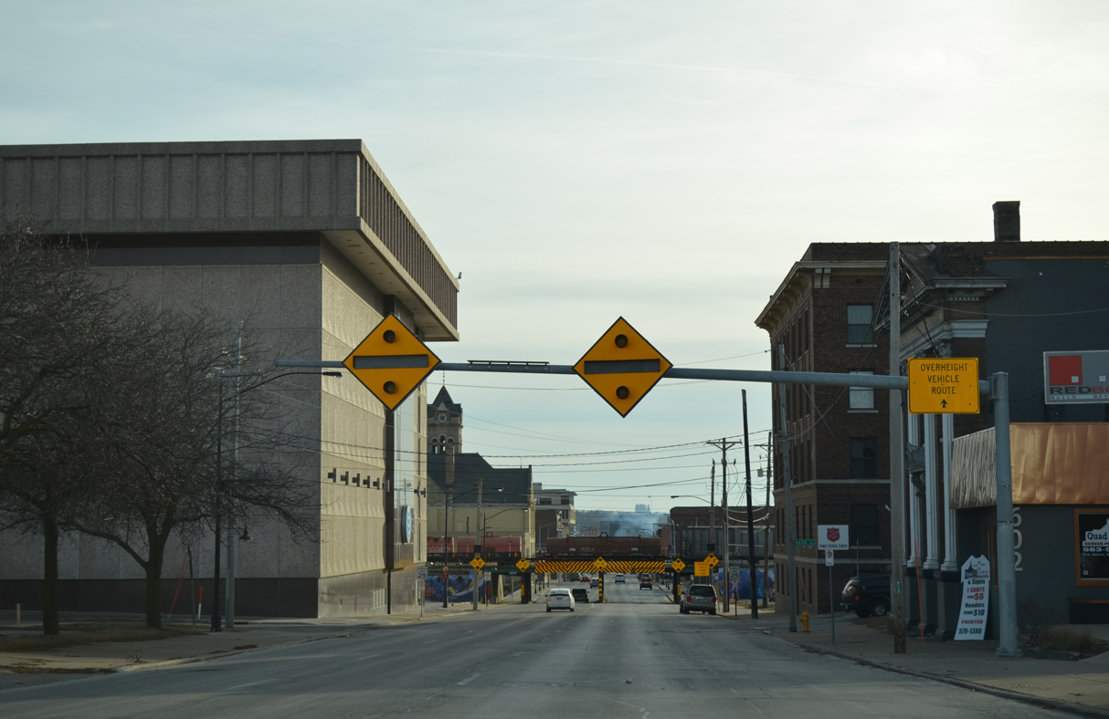
| A pair of warning signs will illuminate when overheight trucks are detected southbound in advance of the "Truck Eating Bridge" at 5th Street. 01/01/15 |
|
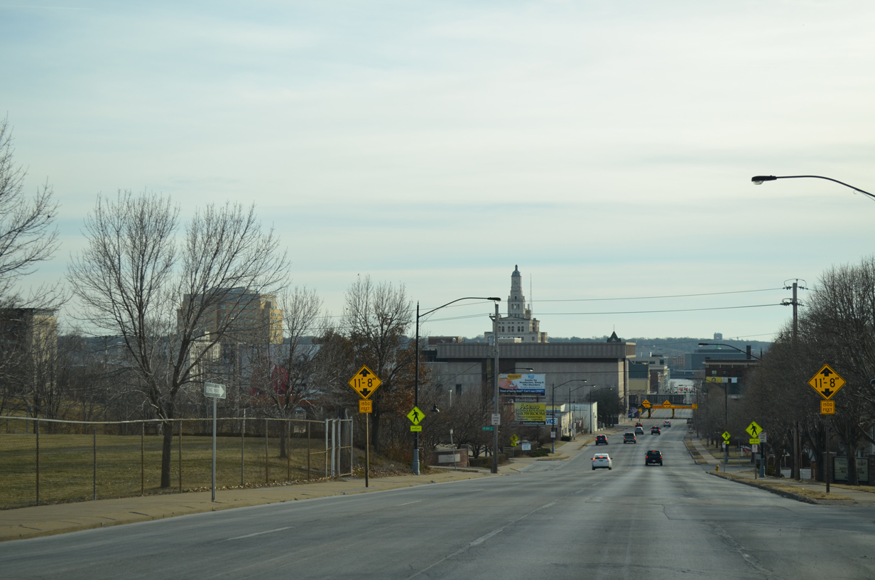
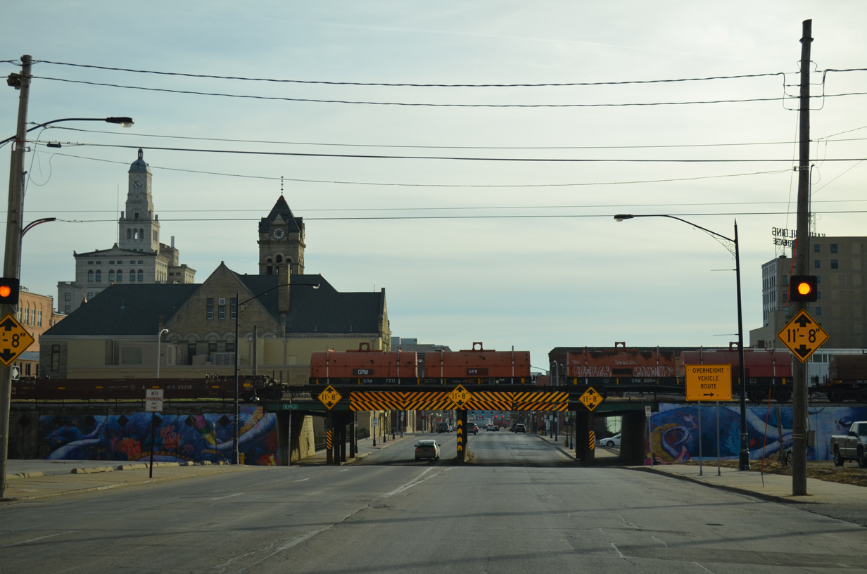
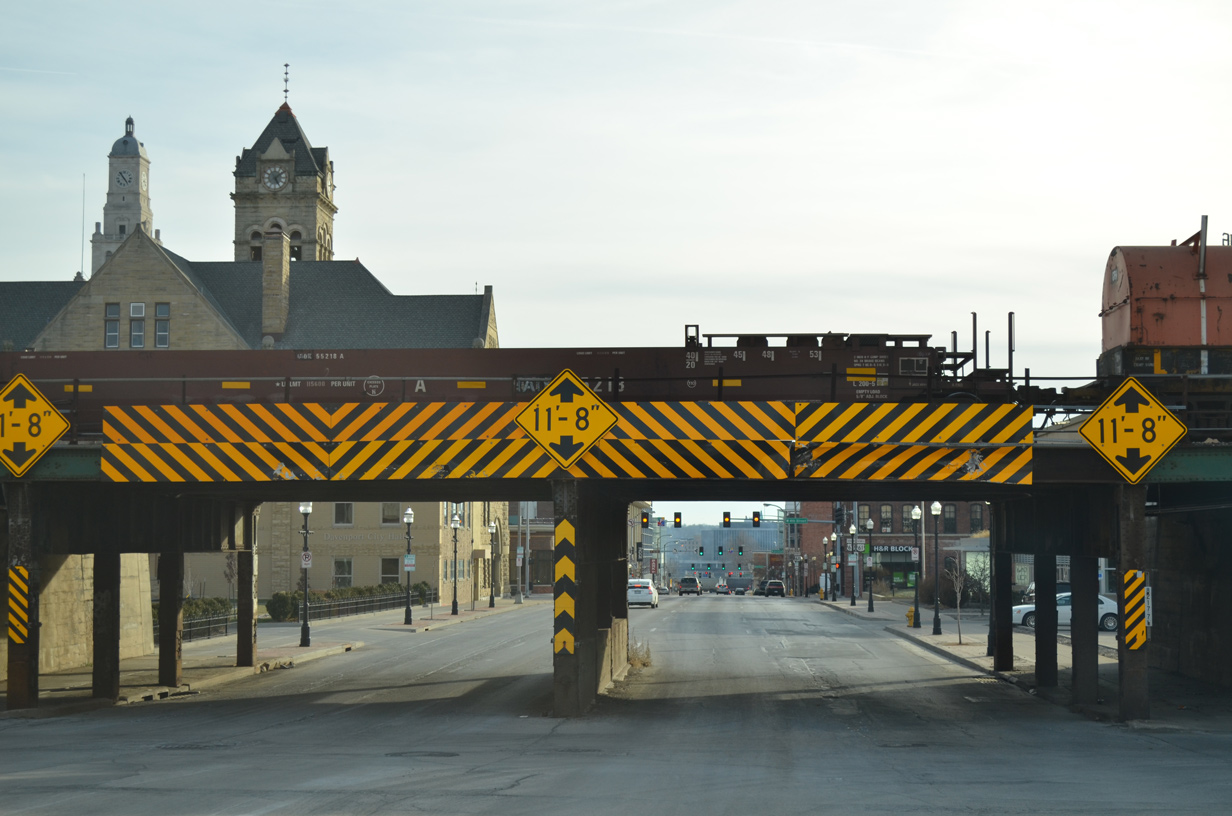
| Davenport City Hall rises in the distance as the four southbound lanes of Harrison Street approach 8th Street. Additional signs alert truckers of the 11 foot 8 inch clearance for the IAIS (Iowa Interstate R.R. Ltd.) Railroad bridge. 01/01/15 |
|
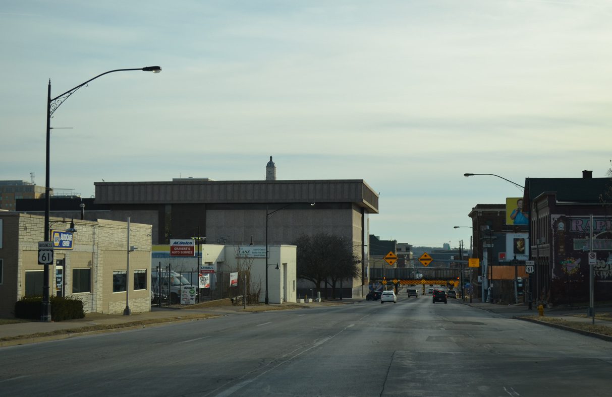
| Another set of shields line Harrison Street to the west of Gold Coast/Hamburg Historic District at 7th Street. 01/01/15 |
|
| More warning signs appear for the IAIS Bridge at 5th Street on U.S. 61 Business south ahead of 6th Street. 01/01/15 |
|
| The overheight vehicle route directs truckers west on 5th Street to Western Avenue, which crosses the IAIS Railroad line at-grade. 01/01/15 |
|
| 1,795 crashes were estimated to have occurred at the "Truck Eating Bridge" over a 40 year period to 2011. The railroad viaduct was built in 1902.1 01/01/15 |
|
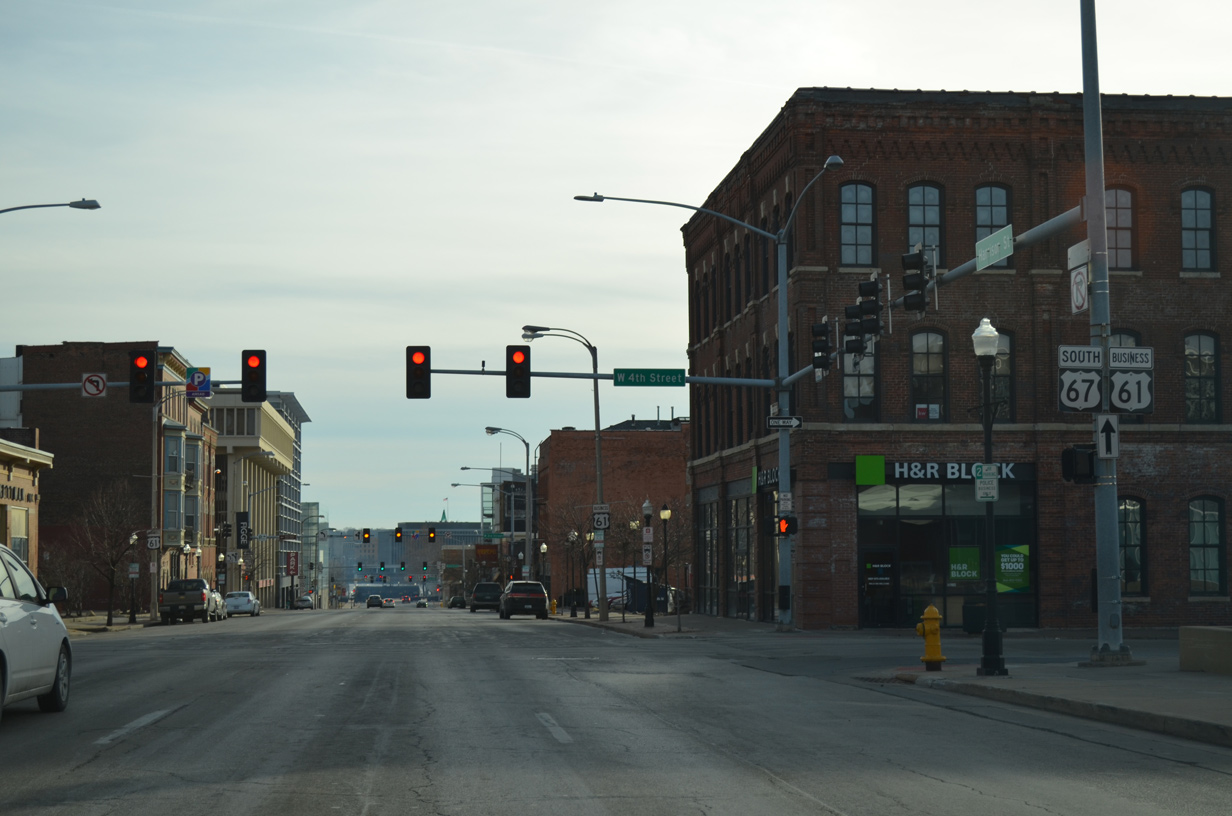
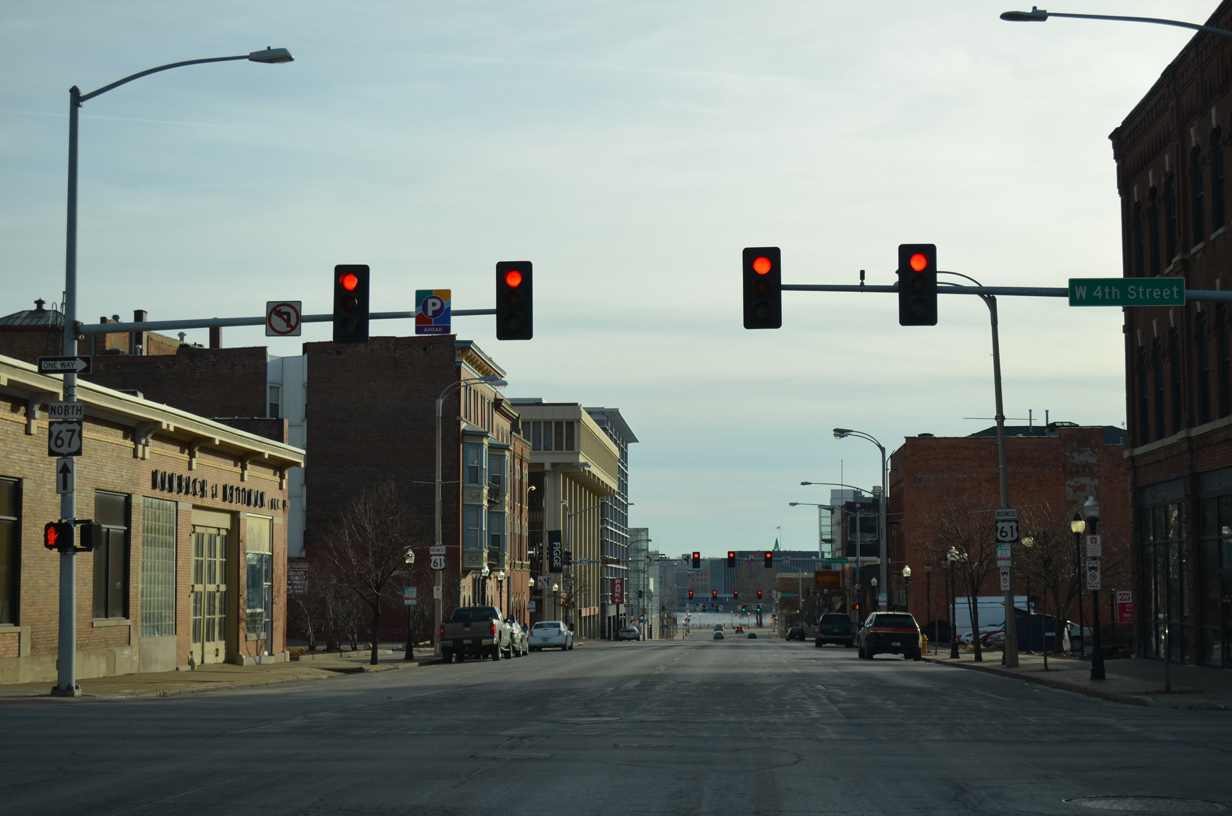
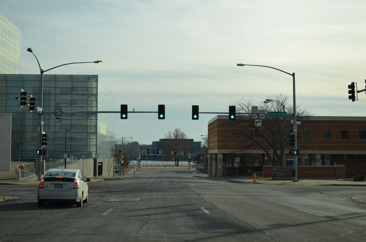
| Entering Downtown Davenport, the first signs for U.S. 67 appear along Harrison Street south at 4th Street. 01/01/15 |
|
| Three blocks ahead of the Mississippi River along U.S. 61 Business south. 01/01/15 |
|
| Third Street flows east from the Southwest Gateway neighborhood to intersect to end at U.S. 67 (East River Drive) by River Heritage Park. 01/01/15 |
|
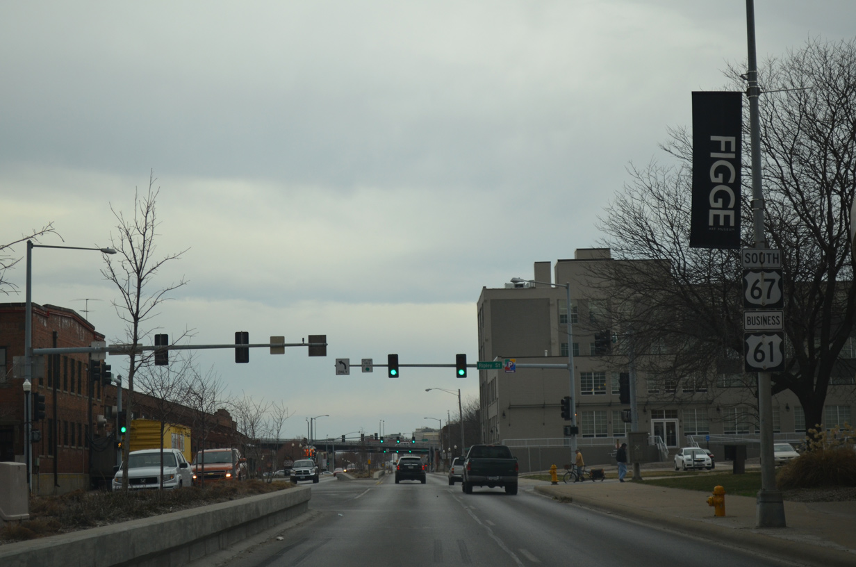
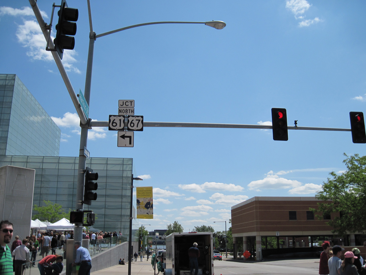
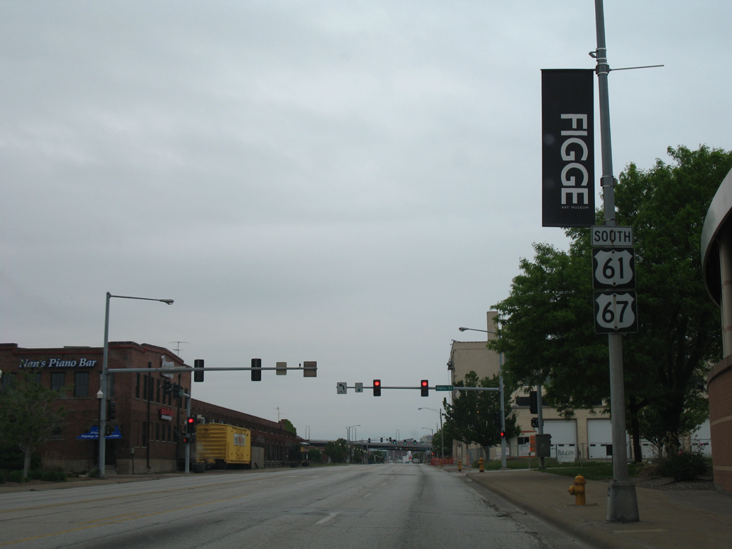
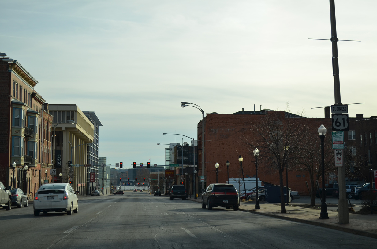
| Second Street intersects Harrison Street south at Eastern Iowa Community College and the Figge Art Museum. U.S. 61 Business merges with U.S. 67 in one block. 01/01/15 |
|
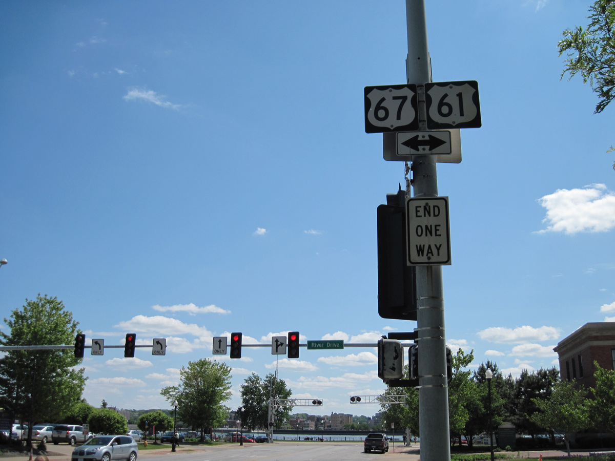
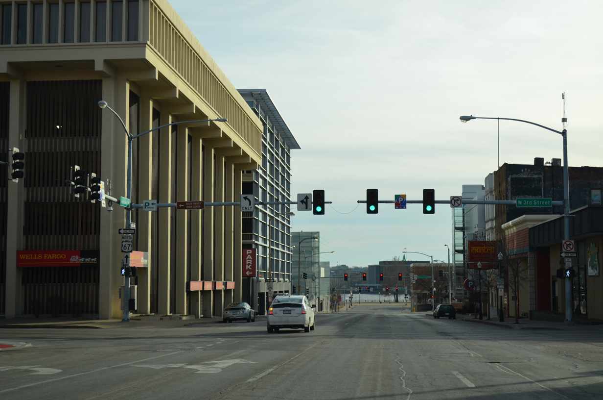
| U.S. 67/61 Business combine for four blocks west along River Drive to the Centennial Bridge while Harrison Street ends at LeClaire Park. 01/01/15 |
|
| U.S. 67 north follows River Drive to East Davenport and Downtown Bettendorf. The route straddles the Mississippi River northeast to Le Claire, Clinton and a terminus at Sabula. 01/01/15 |
|
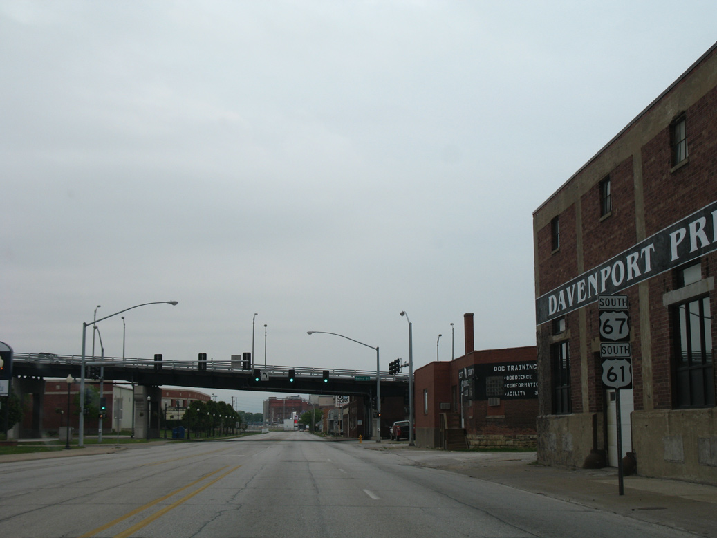
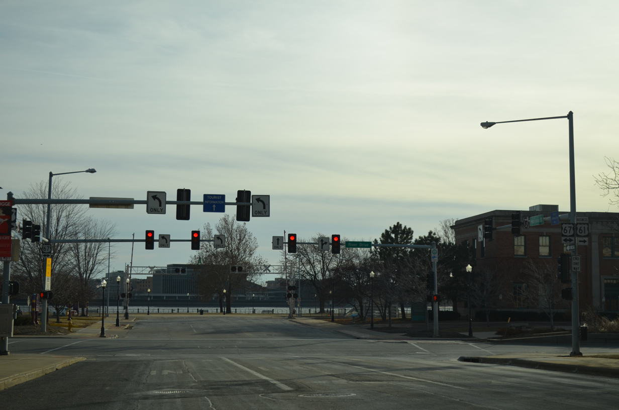
| Reassurance markers for U.S. 67/61 Business south posted between Harrison and Ripley Streets. 04/06/13 |
|
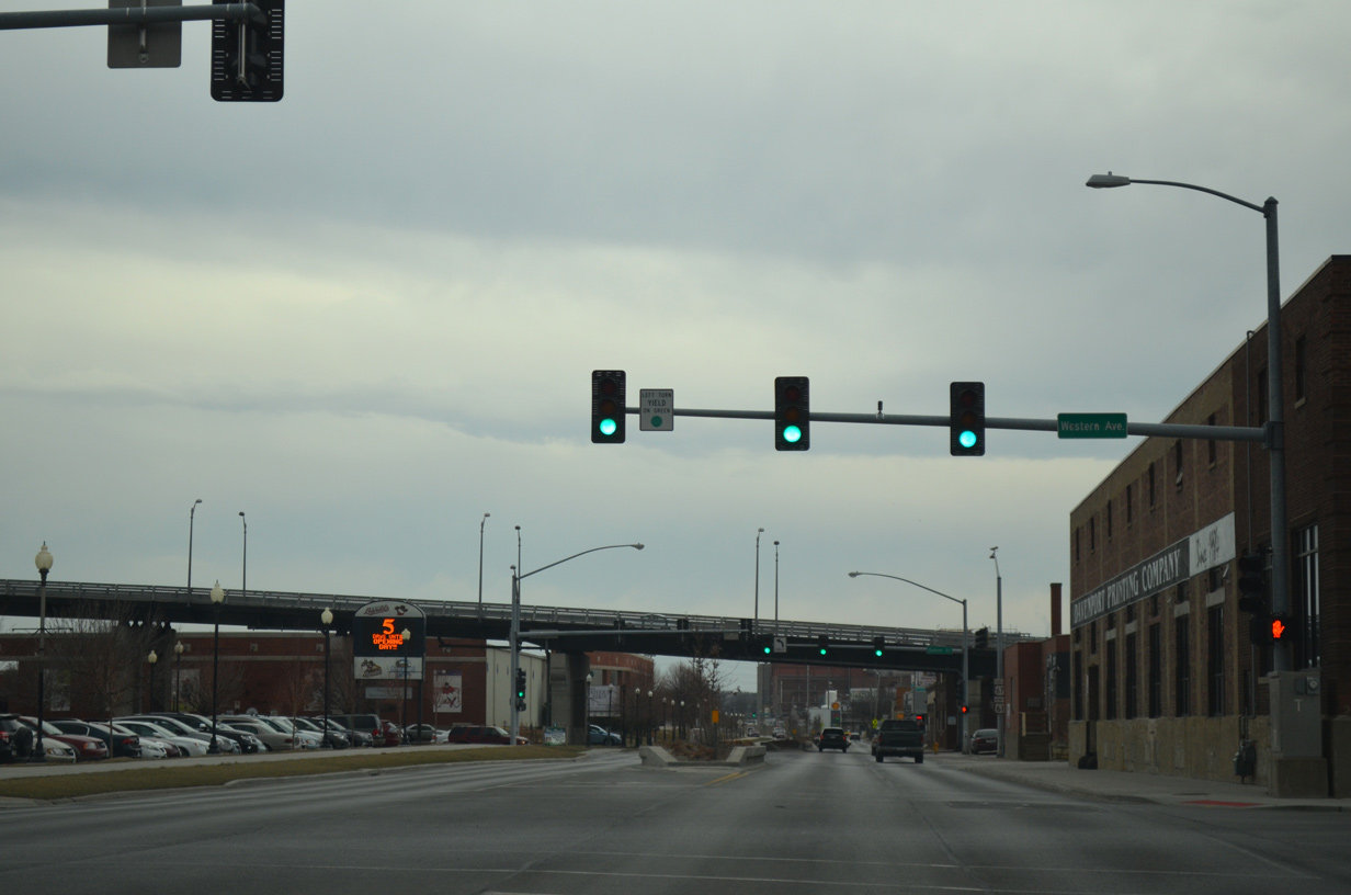
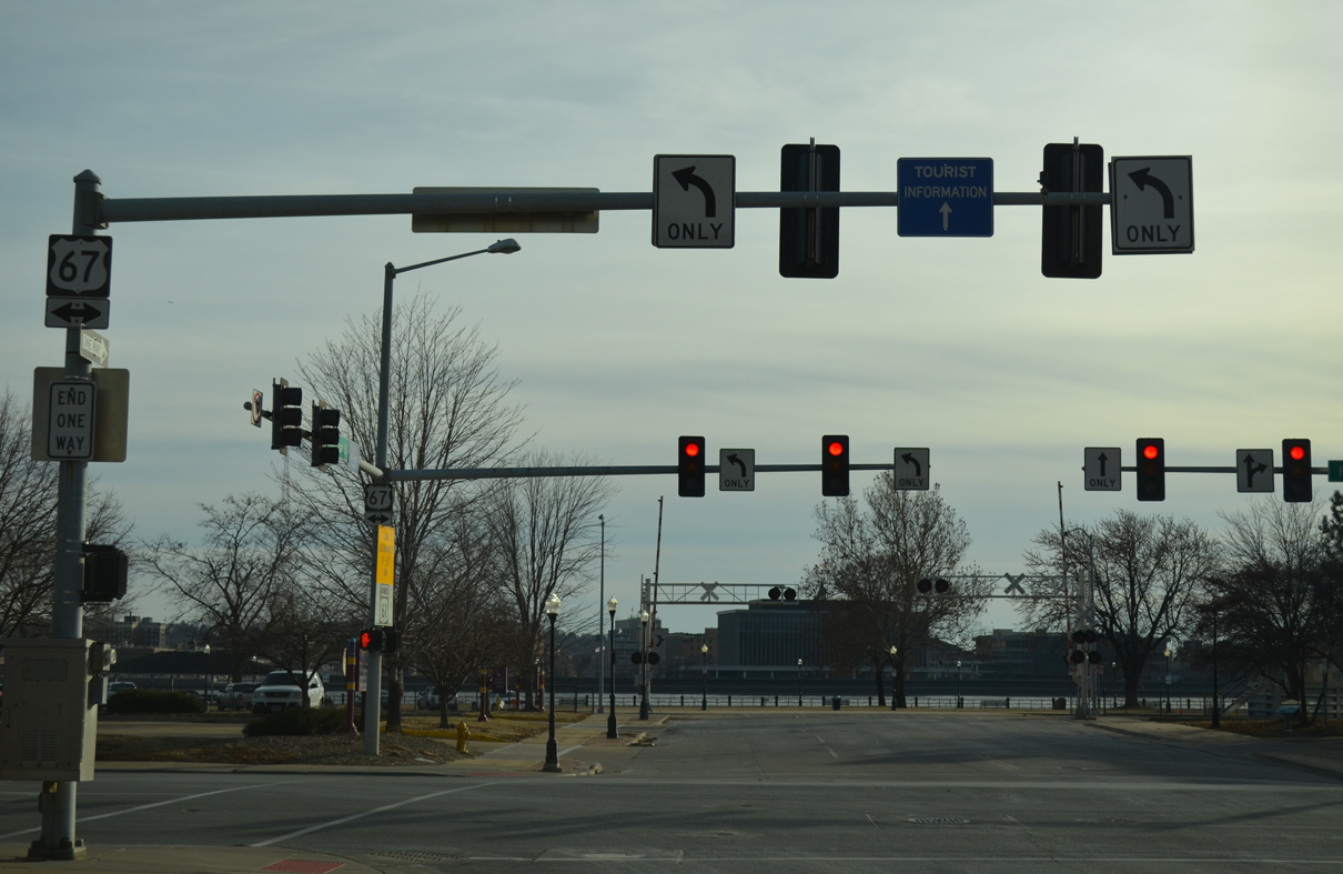
| Ramps from the north end of the Centennial Bridge tie into West 2nd Street, one block north of U.S. 61 Business along River Drive. Western Avenue carries the U.S. 67 northbound mainline from the bridge to River Drive east. 04/06/13 |
|
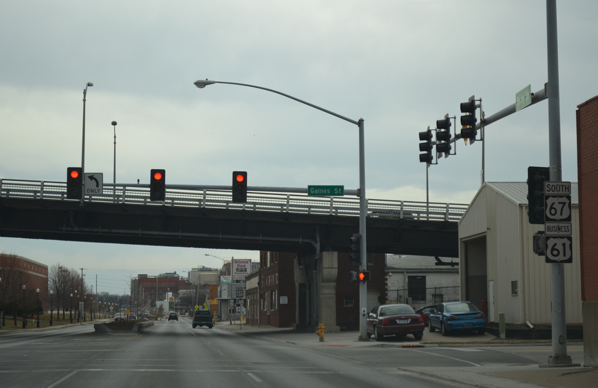
| A discontinuous portion of Gaines Street intersects West River Drive by the north end of the Centennial Bridge. Gaines Street extends north from the bridge to the Central Community Circle community while this section of street provides access to the Modern Woodmen Park baseball stadium. 04/06/13 |
|
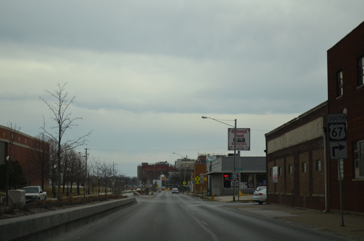
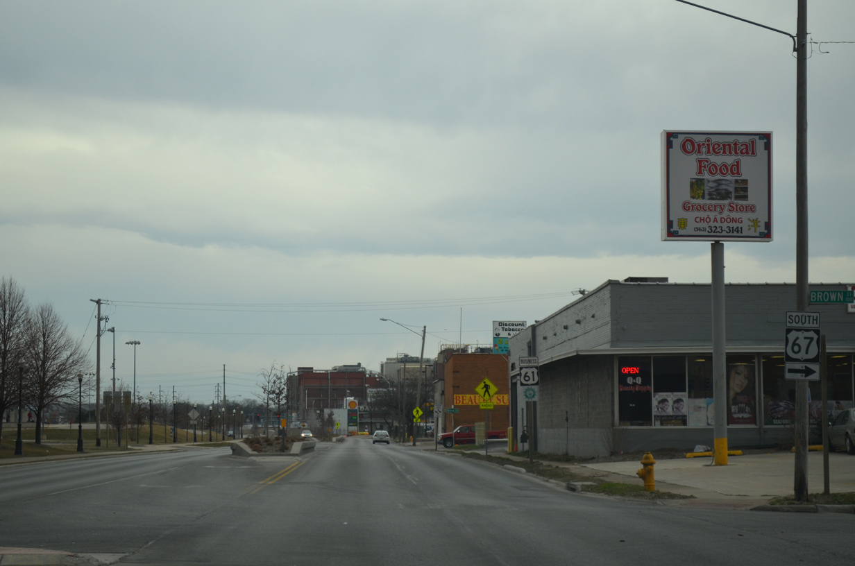
| U.S. 67 south splits with U.S. 61 Business (West River Drive) at Brown Street. Brown Street links the route with a loop ramp onto the Centennial Bridge to Illinois. 04/06/13 |
|
| U.S. 67 heads south to Downtown Rock Island and Milan. The steel arch bridge across the Mississippi River opened to traffic on July 12, 1940. 04/06/13 |
|
| The planter median along River Drive was added in place of a center turn lane during construction in 2010. U.S. 61 Business resumes as a five lane arterial by the Oscar Mayer plant after Marquette Street. 04/06/13 |
|
| U.S. 61 Business runs along the north side of Centennial Park by this shield assembly at Myrtle Street. 04/06/13 |
|
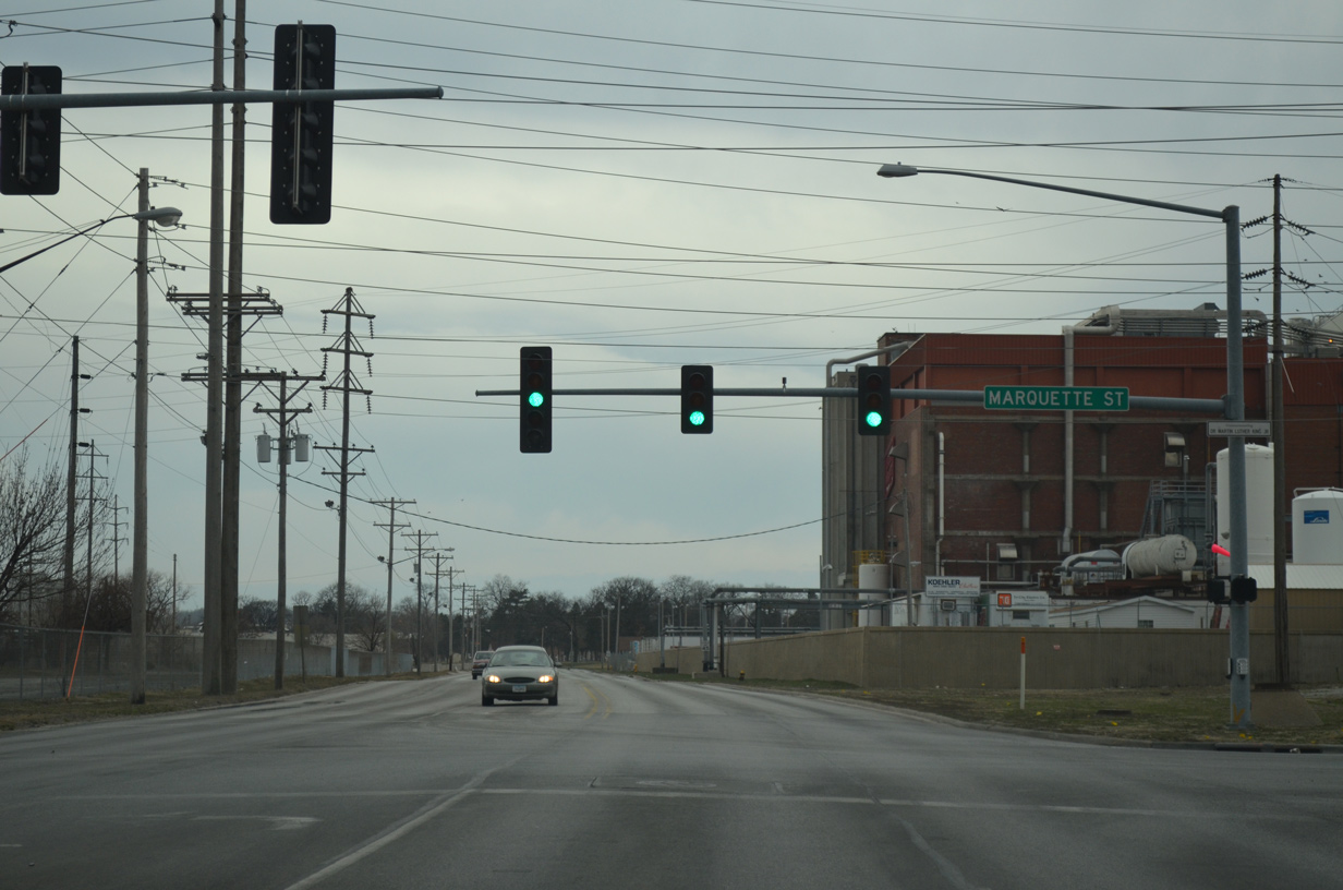
| Marquette Street connects West River Drive with the Southwest Gateway neighborhood to the north and the entrance to Centennial Park to the south. 04/06/13 |
|
| U.S. 61 Business turns more southward toward the Mississippi River after Sturdevant Street. Sturdevant Street links River Drive with Rockingham Road as a former alignment of U.S. 61. 04/06/13 |
|
| Credit Island Road loops south from West River Drive after this shield assembly to Credit Island Park. 04/06/13 |
|
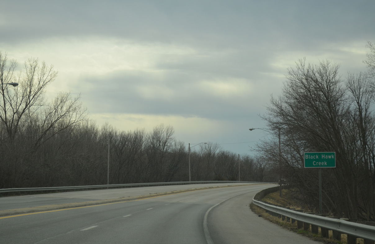
| U.S. 61 Business traverses an area of wetlands alongside Davenport Harbor to the crossing of Black Hawk Creek. 04/06/13 |
|
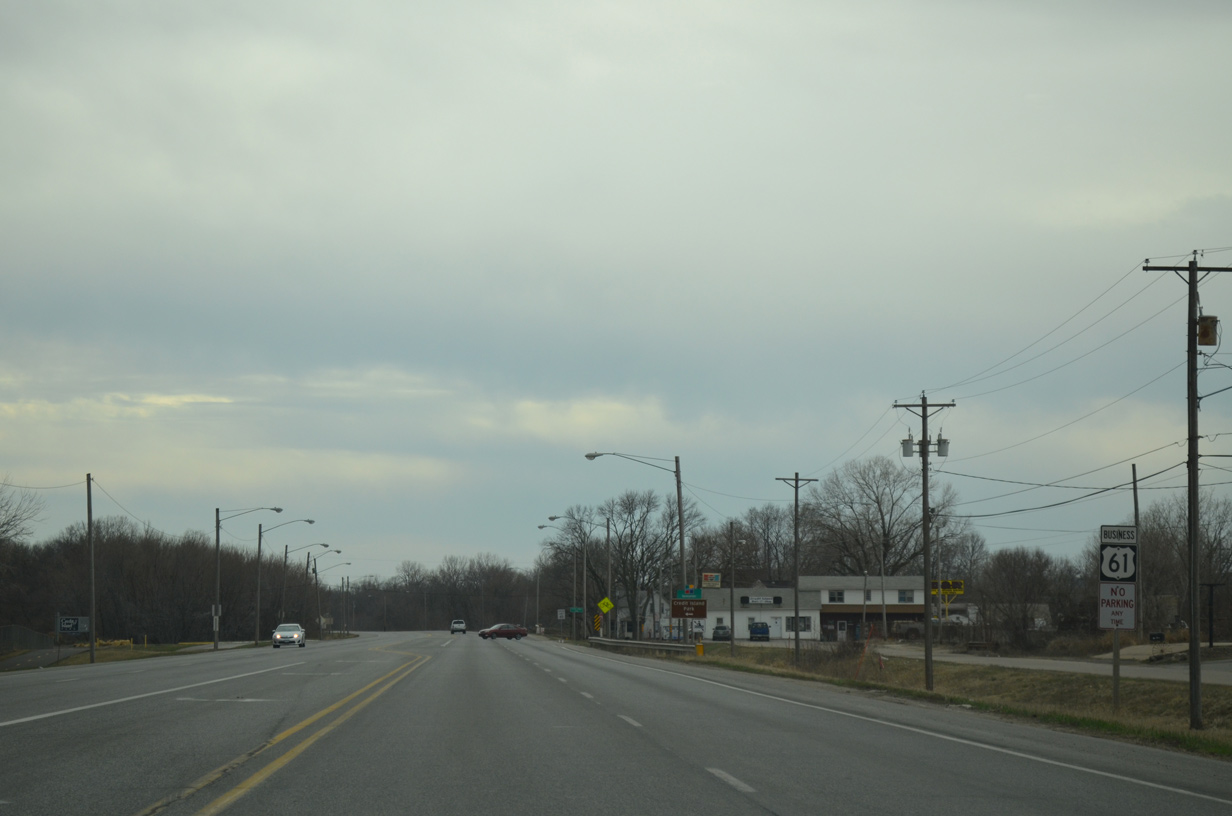
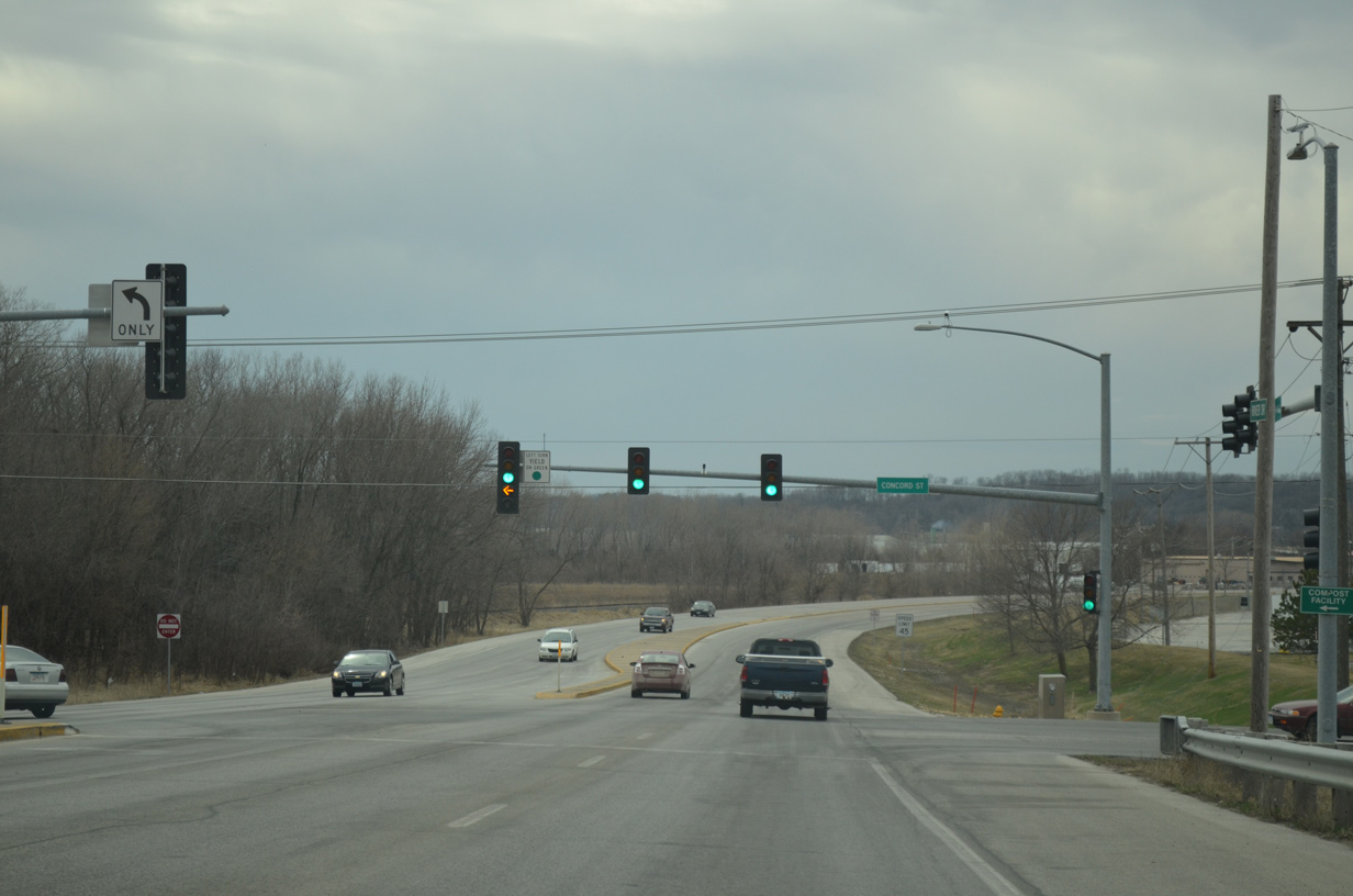
| Veering away from the Mississippi River, U.S. 61 Business intersects Concord Street. Concord Street south lines the river to the I-280 bridge and Walnut Grove. 04/06/13 |
|
| Fairmount Street follows as the second street north into residential areas of west Davenport. 04/06/13 |
|
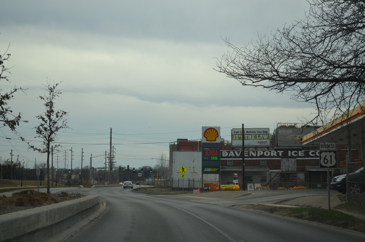
| Frontage roads separate industrial businesses from West River Drive between Fairmount and Stark Streets. A folded diamond interchange follows with the east end of Iowa 22 (Rockingham Road). 04/06/13 |
|
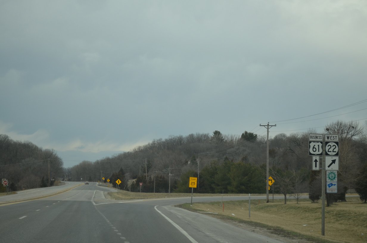
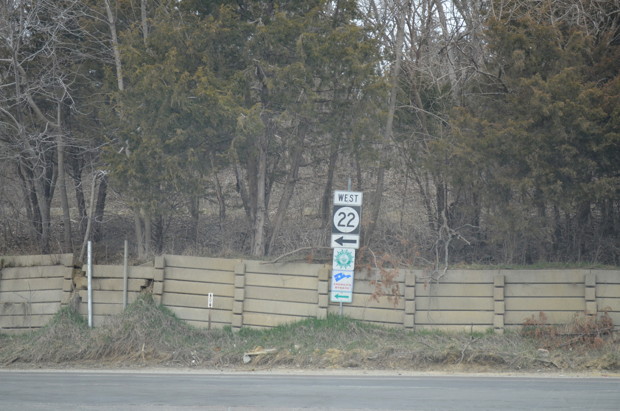
| Southbound U.S. 61 Business splits with the off-ramp for Iowa 22 west and Rockingham Road east. Rockingham Road is the former alignment of U.S. 61 east to 2nd Street. 04/06/13 |
|
| Iowa 22 travels 98 miles from Davenport to northwestern Keokuk County. The state route doubles as a Great River Road southwest to Buffalo, Montpelier and Muscatine. 04/06/13 |
|
| A rural stretch of West River Drive leads U.S. 61 Business to a diamond interchange with I-280/U.S. 61. 05/23/08 |
|
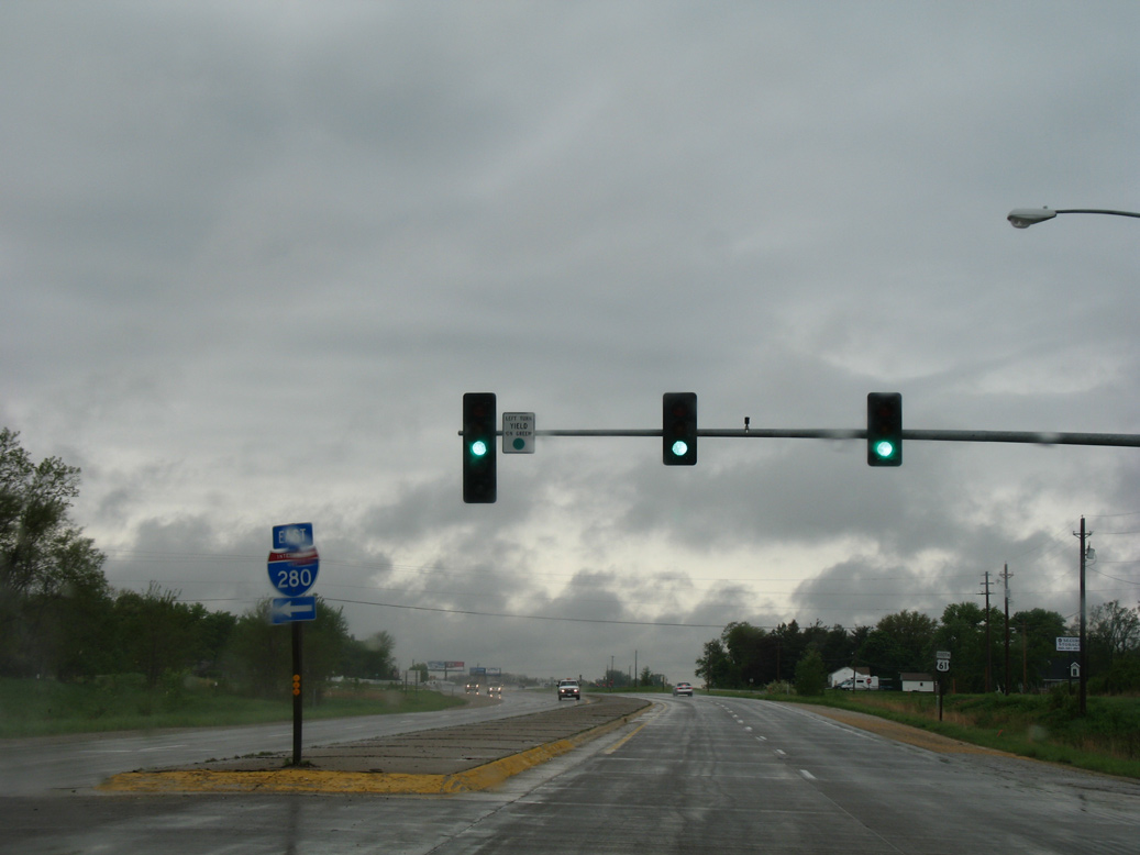
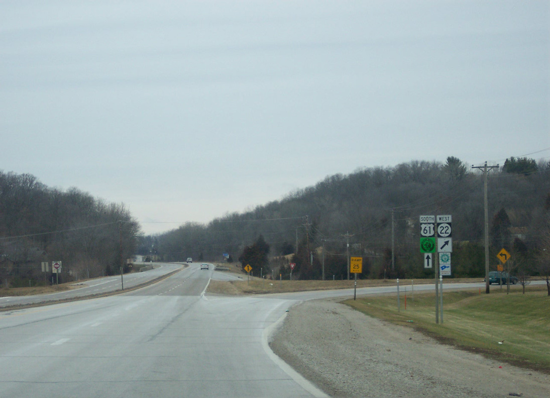
| U.S. 61 resumes along its alignment to Blue Grass and Muscatine from Interstate 280 as U.S. 61 Business ends. I-280 east meets Iowa 22 next before crossing the Mississippi River toward Rock Island, Illinois. 05/23/08 |
|
| Signs previously referenced the two block stretch of U.S. 61 north along River Drive between Harrison and Brady Streets before the 2011 realignment. 05/09/10 |
|
| U.S. 61 southbound turning west onto River Drive from Harrison Street. 05/09/10 |
|
| West River Drive after U.S. 61 Business combines with U.S. 67 south from Harrison Street. 05/25/08 |
|
| This shield assembly for U.S. 61/67 was removed after the realignmemt of U.S. 61 away from Downtown Davenport. The center turn lane here was replaced by a planter median in 2010. 05/25/08 |
|
| U.S. 61/67 signs previously posted between Western Avenue and Gaines Street. A new assembly with U.S. 61 Business was added at Gaines Street after 2011. 05/25/08 |
|
| Replaced shield for U.S. 61 south after the split with U.S. 67 south. Note the early construction of Centennial Park to the south. 05/25/08 |
|
| Then U.S. 61 south at the folded diamond interchange with Iowa 22 and Rockingham Road. 12/25/06 |
Page Updated 03-11-2016.

 South
South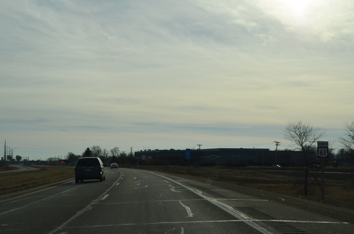

 South
South