|
| Beyond SR 77, US 180 is not plowed on nights or weekends during storms. In the background is the first distance sign, to St Johns (61 miles) and Springerville (92 miles). 09/11/11 |
|
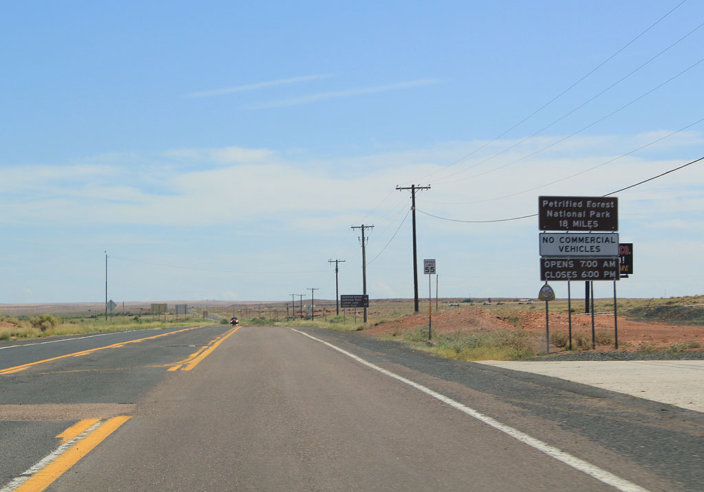
| Distance sign to Petrified Forest National Park (18 miles). Commercial traffic is not allowed through the park. 09/11/11 |
|
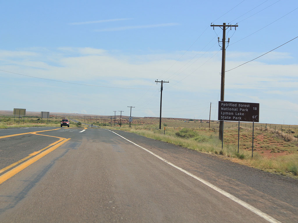
| Distance sign to Petrified Forest National Park (18 miles) and Lyman Lake State Park. 09/11/11 |
|
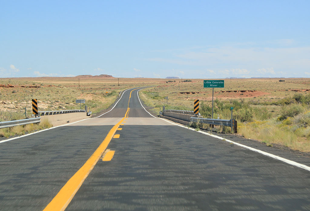
| US 180 crosses the Little Colorado River. The Little Colorado River is a significant drainage system for Northern Arizona, feeding into the Colorado in the Grand Canyon. 09/11/11 |
|
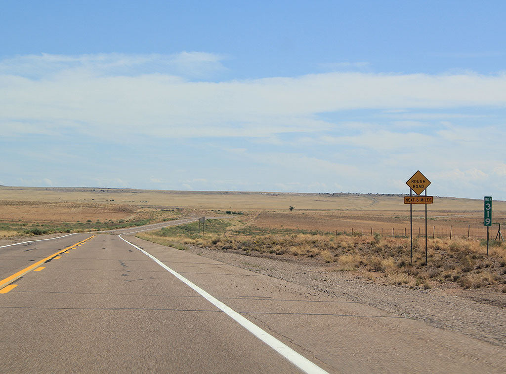
| US 180 is not the smoothest road just outside of Holbrook. 09/11/11 |
|
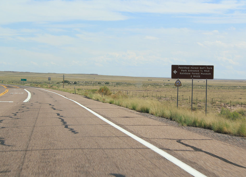
| Advance signage for Petrified Forest National Park, 2 1/2 miles. 09/11/11 |
|
| Advance signage for Petrified Forest National Park. The road through Petrified Forest National Park was SR 63 between 1932 and 1952. 09/11/11 |
|
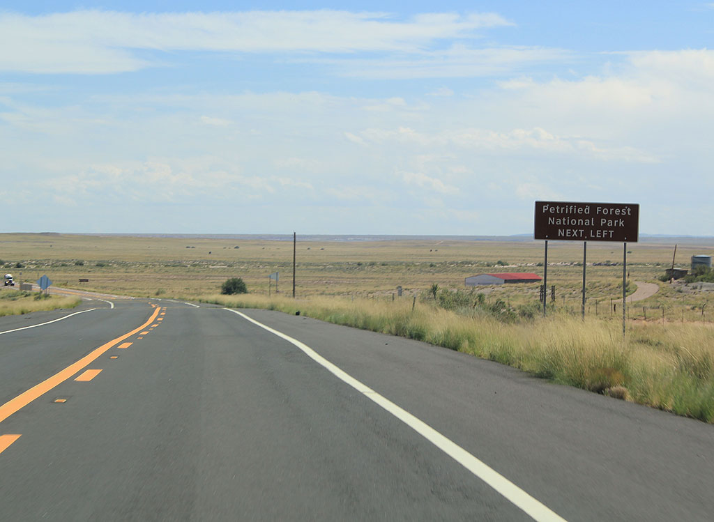
| Turn left to reach Petrified Forest National Park. 09/11/11 |
|
| Reassurance marker for US 180. US 180 has very few reassurance markers between Holbrook and St. Johns. 09/11/11 |
|
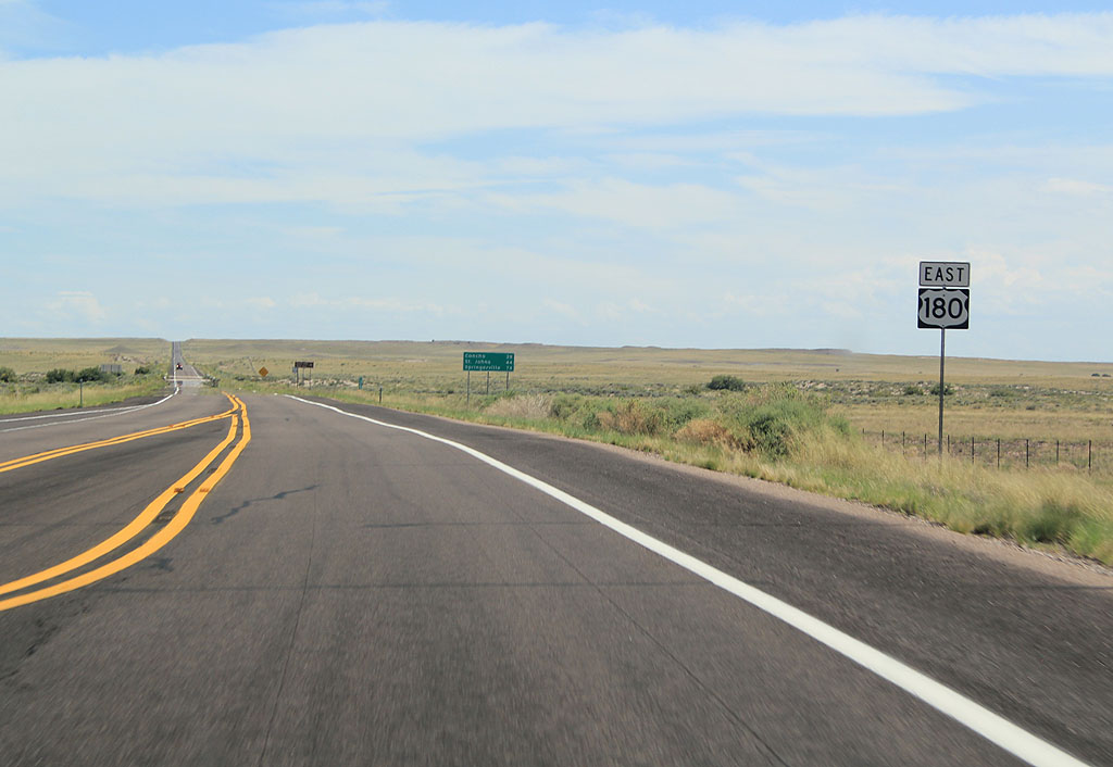
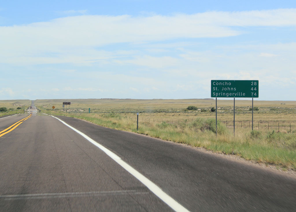
| Distance sign to Concho (28 miles), St. Johns (44 miles) and Springerville (74 miles). 09/11/11 |
|
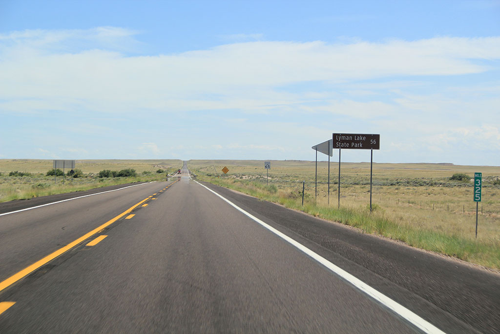
| Distance sign to Lyman Lake State Park (56 miles). 09/11/11 |
|
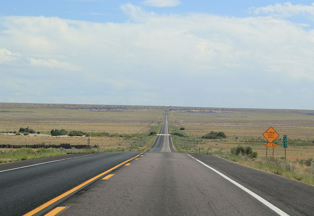
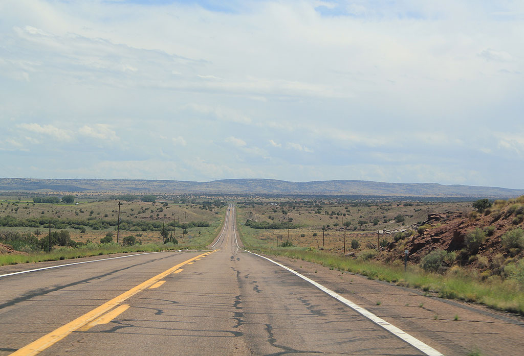
| US 180 remains in open grassland, common to Northeastern Arizona, between Holbrook and Concho. 09/11/11 |
|
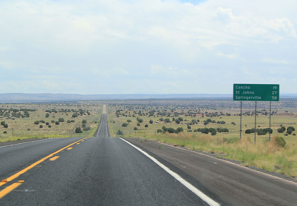
| Distance sign to Concho (19 miles), St. Johns (27 miles) and Springerville (58 miles). 09/11/11 |
|
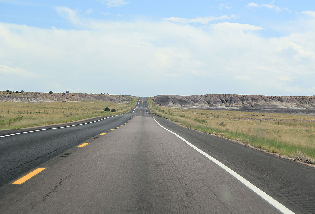
| US 180 travels across a number of washes and ridges before descending into the Hunt valley. 09/11/11 |
|
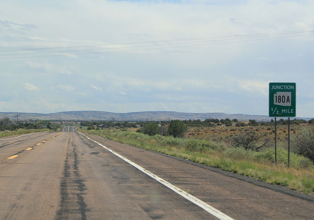
| Advance signage for SR 180A, 1/2 mile. SR 180A is a former alignment of US 180, bypassed in 1973. 09/11/11 |
|
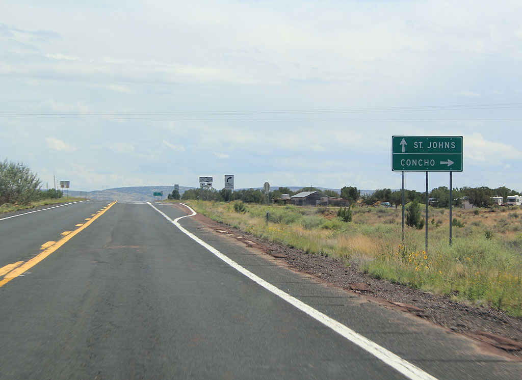
| Turn right for Concho, or continue ahead for St. Johns. 09/11/11 |
|
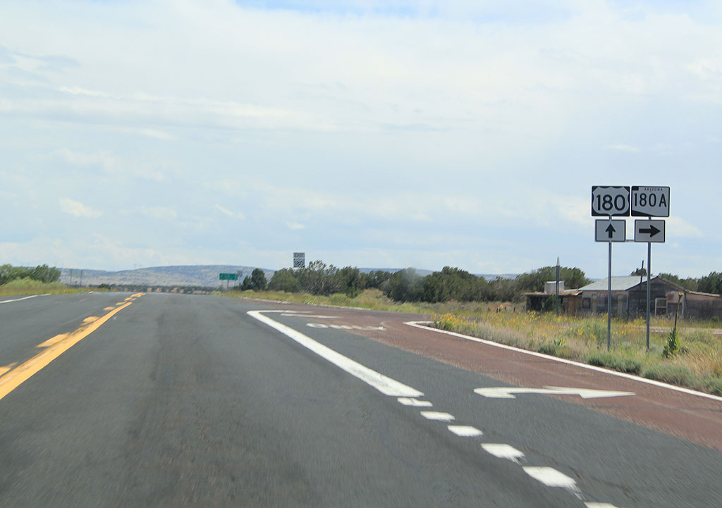
| Turn right for Concho and SR 180A, or continue ahead on US 180 to SR 61. 09/11/11 |
|
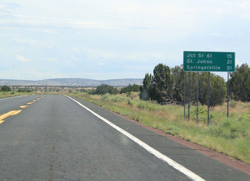
| Distance sign to SR 61 (15 miles), St. Johns (21 miles) and Springerville (51 miles). 09/11/11 |
|
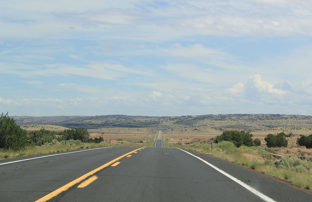
| US 180 continues through the ranches of Hunt Valley. 09/11/11 |
|
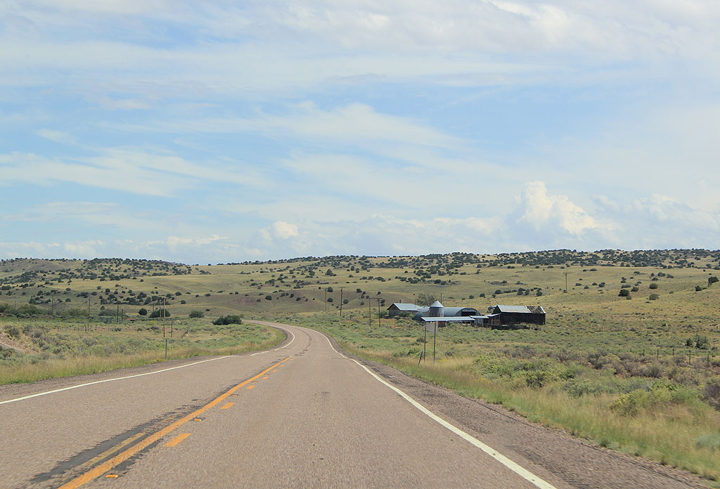
| US 180 travels through classic western landscapes just past the settlement of Hunt. 09/11/11 |
|
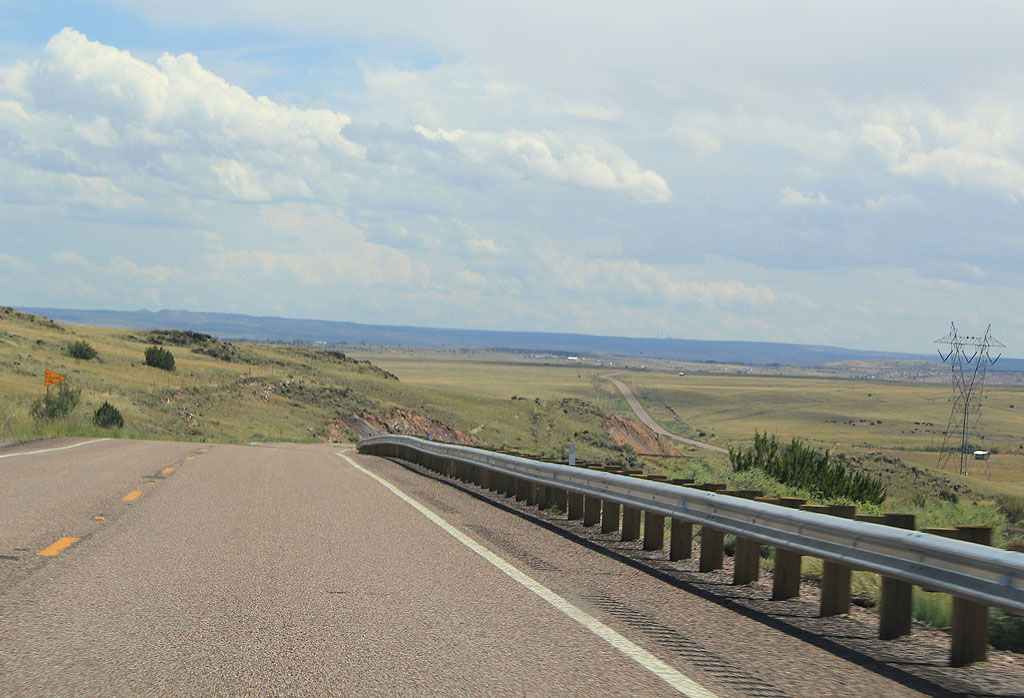
| Descending from Black Ridge along US 180 east. 09/11/11 |
|
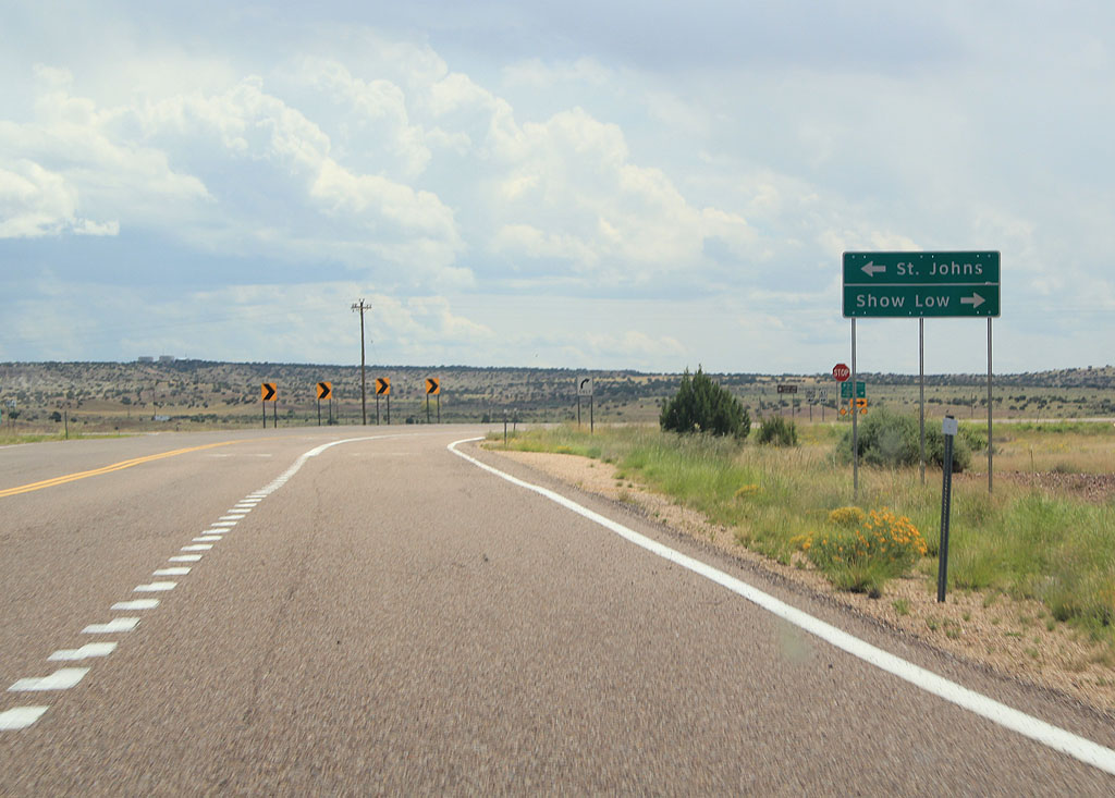
| Turn left for St. Johns, or turn right for Show Low. 09/11/11 |
|
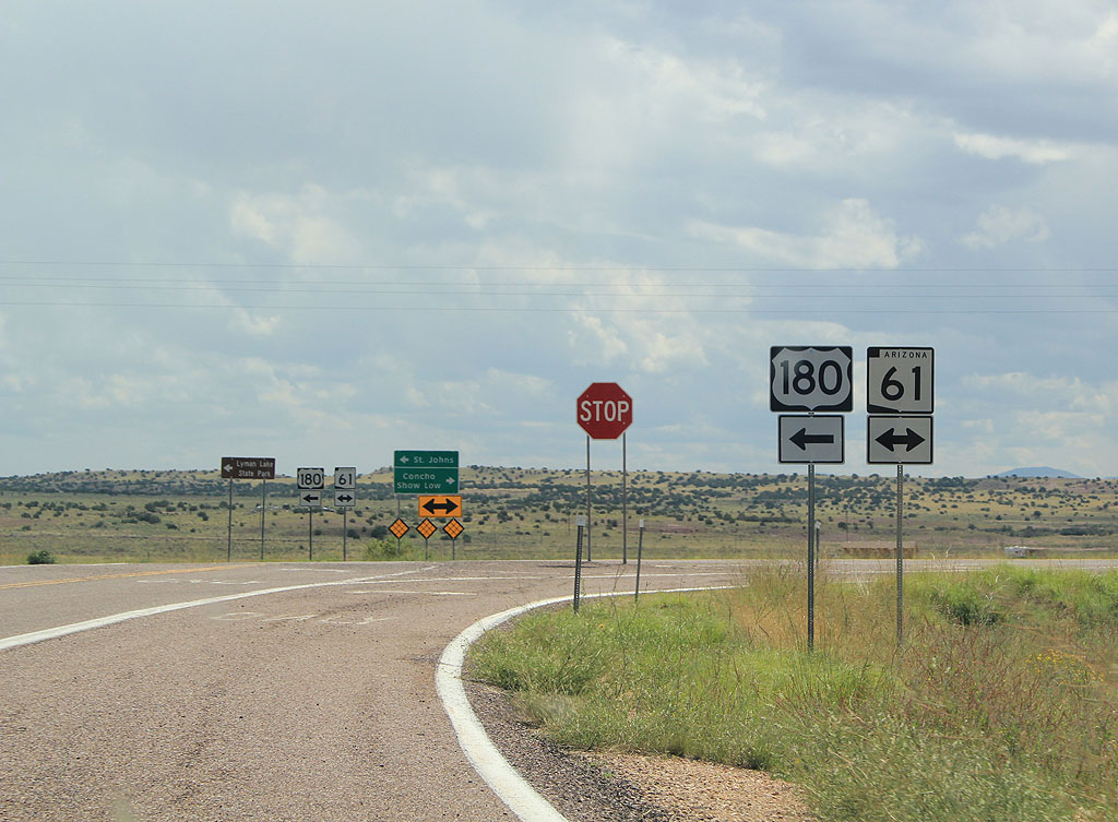
| Turn left to remain on US 180, or turn right to take SR 61 to Concho. 09/11/11 |
|
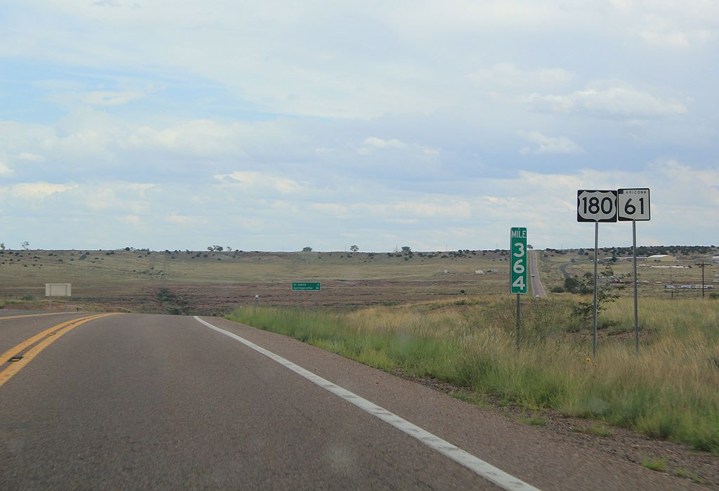
| Reassurance markers for US 180 and SR 61, east of the US 180 junction. 09/11/11 |
|
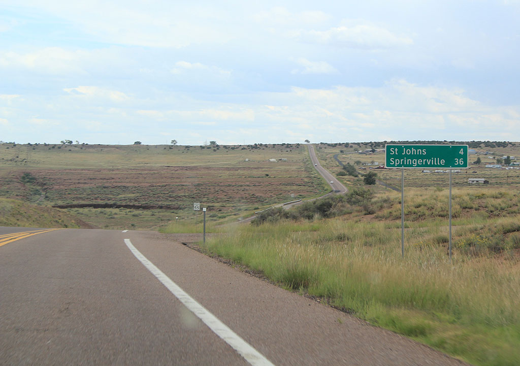
| Distance sign to St. Johns (4 miles) and Springerville (36 miles). 09/11/11 |
|
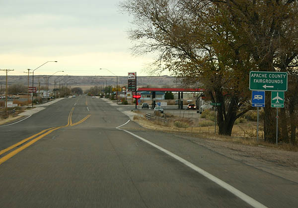
| Entering St. Johns, the Apache County Fairgrounds can
be reached off this turn from SR 61/US 180. St. Johns
was named on San Juans day, June 24, bu Mexican settlers,
and is the county seat of Apache County.2 09/11/11 |
|
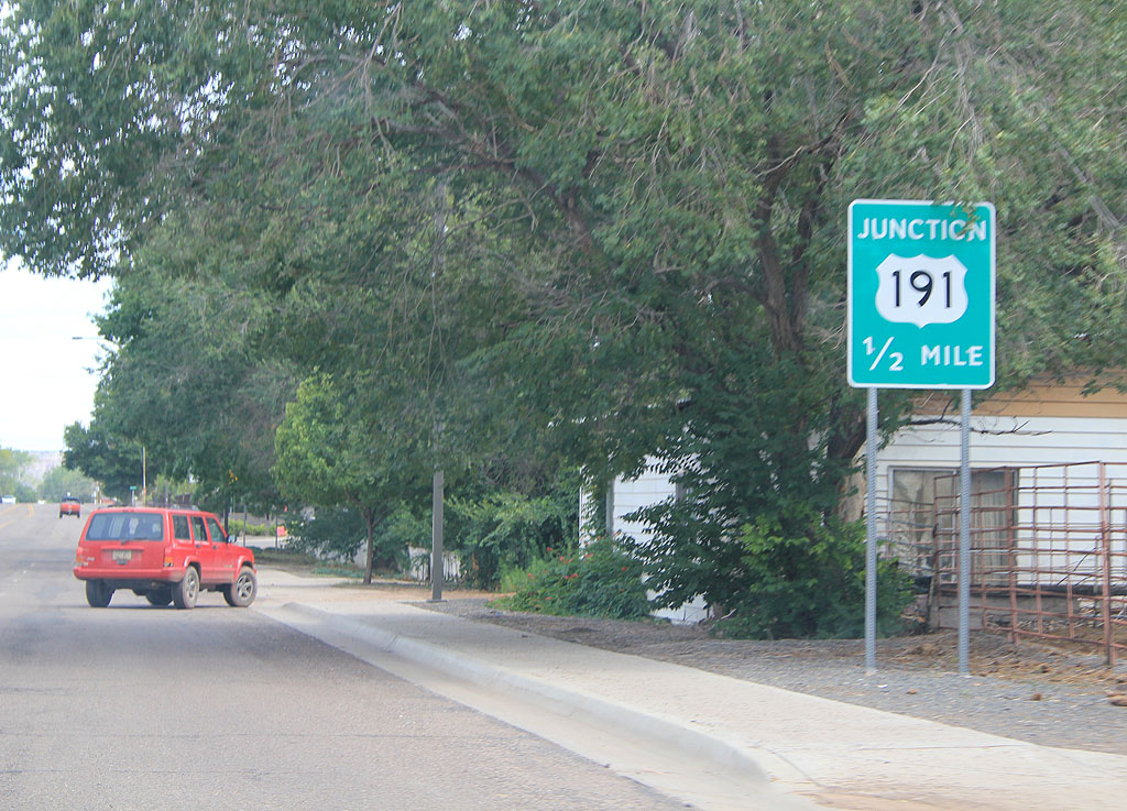
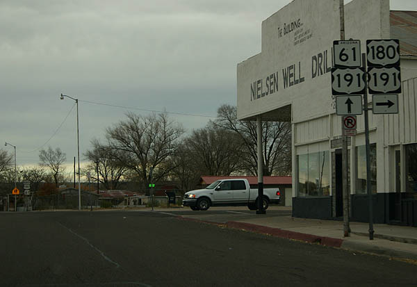
| Advance signage for US 191, 1/2 mile. 09/11/11 |
|
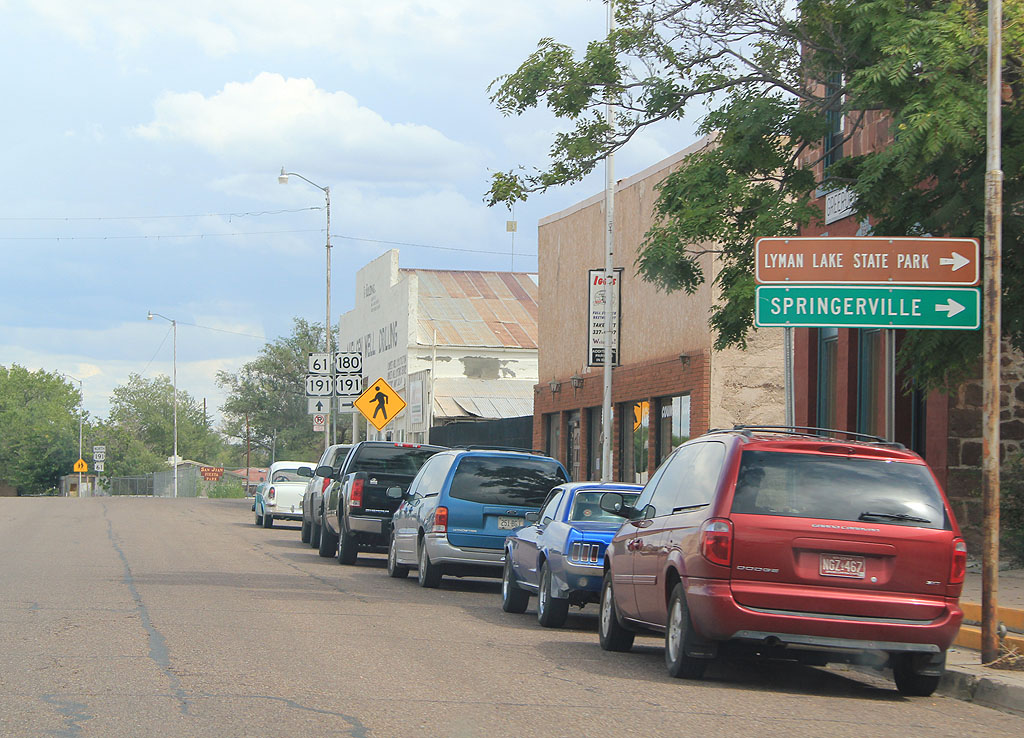
| Turn right to continue to Springerville and Lyman Lake State Park, along US 180. 09/11/11 |
|
| SR 61 meets US 191 here. Turn right to take US
180 eastbound and US 191 southbound, or continue north
on US 191 northbound and SR 61 eastbound. 11/11/06 |
Page Updated 10-24-2011.

 East
East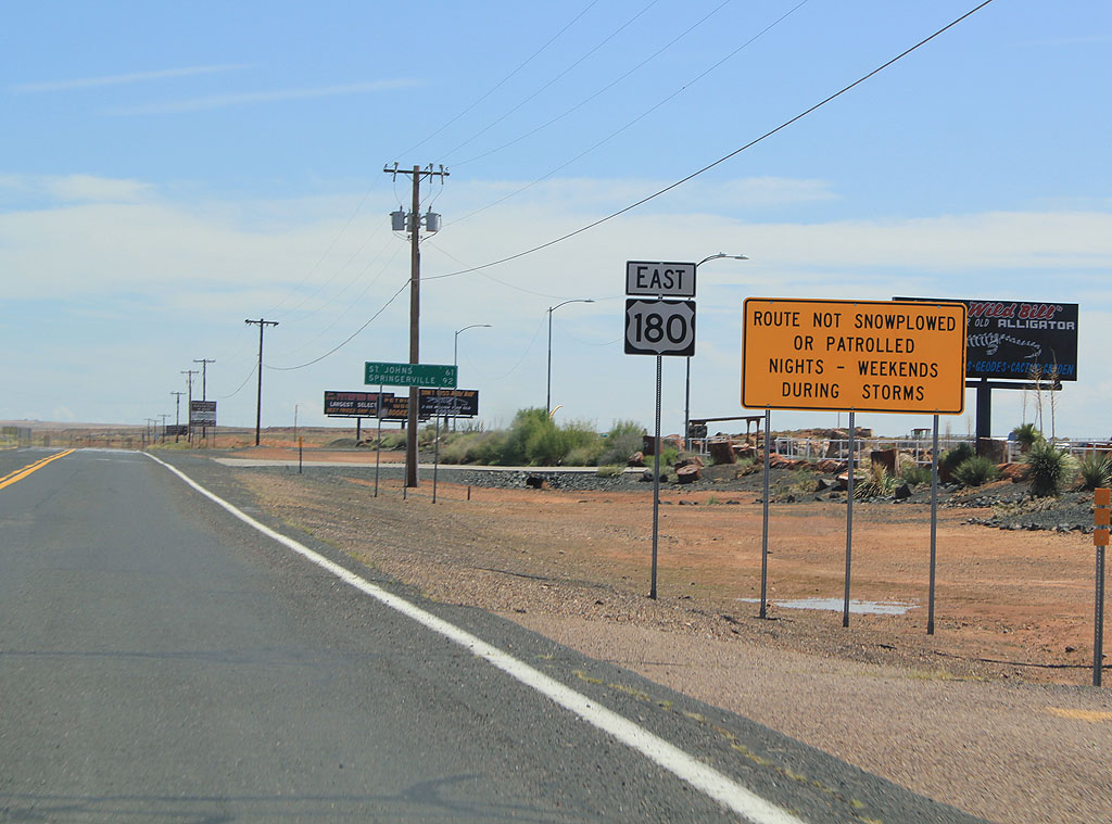

 East
East