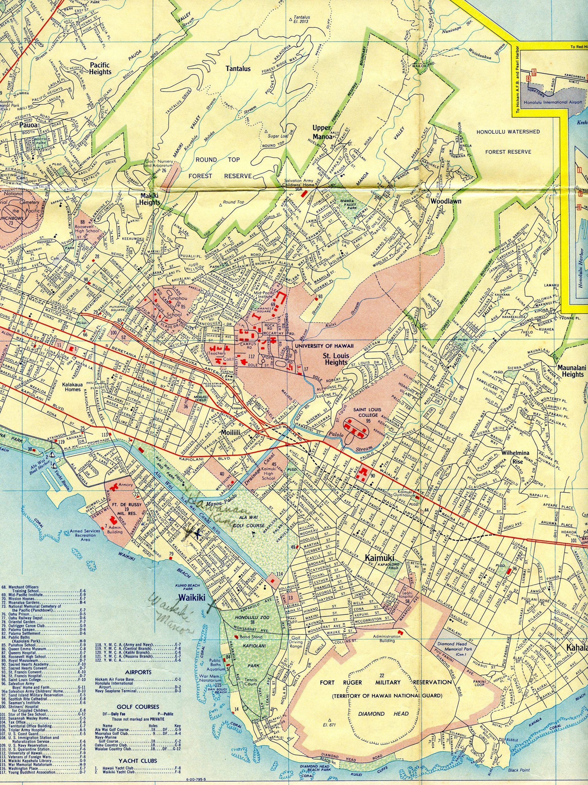
1946 Baltimore and 1956 Hawaii Maps
In addition to the recent 1942 Washington, D.C. map we acquired, we got our hands on some other goodies, including a city map of Baltimore, Maryland and a map of the Hawaiian Islands including a Honolulu street map. We'll touch on some of the highlights for the Baltimore map before moving onward to the Aloha state. The Baltimore city map is a Rand McNally base with a date code of [...]