
Road news and notes from the drive between Travelers Rest, South Carolina and Canton, Ohio.
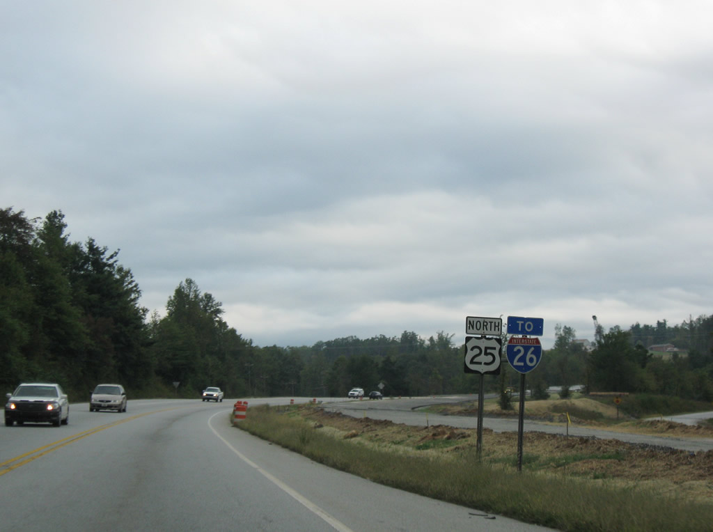
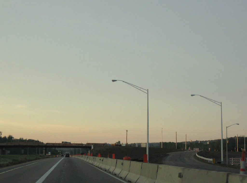
Signs of construction along U.S. 25 northbound near East Flat Rock south of Hendersonville
Ccompare this scene with this 2007 view. Widening of the two-lane highway is underway to bring it up to four-lane Interstate standards. At-grade intersections with Kay Road and other residential roads will be handled by a new frontage road built along the northbound (east) side of the new freeway. Completion of the overall project is expected by August 2012.
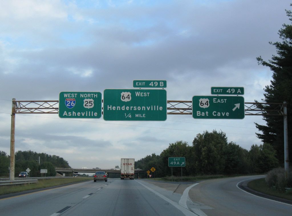
New signs posted at Exit 49 with U.S. 64 on I-26 west & U.S. 25 north still ignore the overlap with U.S. 74. Southbound (eastbound) signs also omit the overlap.
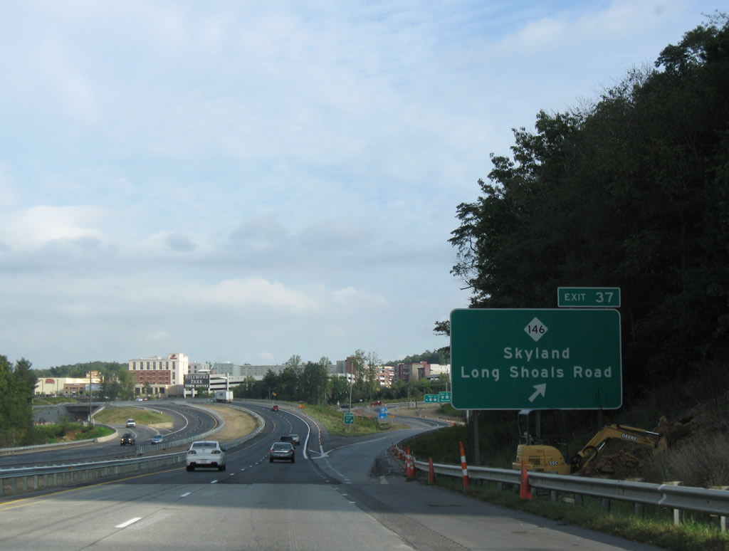
Interstate 26 west at N.C. 146.
Associated with ARRA projects, Interstate 26 at North Carolina 146 work involves the widening of N.C. 146 between N.C. 191 and U.S. 25 near Skyland. The concrete surface of Interstate 26 from Exit 37 north toward Exit 33 is now asphalt. What appeared to be a new configuration of the diamond interchange at Exit 37 was nothing more than the building of Biltmore Park Town Square nearby. See the 2007 photo of the same location for the changes to the area.
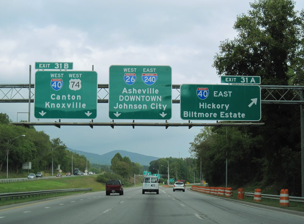
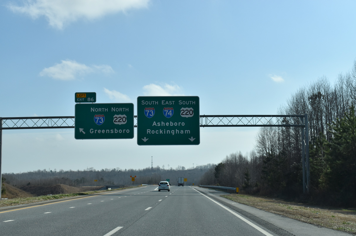
The diagrammatic overhead at I-40 is no more as sign changes made at Exit 31A are the first to indicate Johnson City, Tennessee for the 2003-extension of I-26 northward into the Volunteer State.
Sign lighting is also no more. Work on the I-26 Connector between Interstate 240 and U.S. 19 & 23 north of Asheville is still pending. A new 5.1-mile alignment for Interstate 26 will carry the freeway across a new French Broad River crossing and avoid the substandard interchange between Interstate 240 and the U.S. 19 & 23 freeway at downtown Asheville. While ARRA money was allocated to the half-million dollar project, construction is still a few years away.
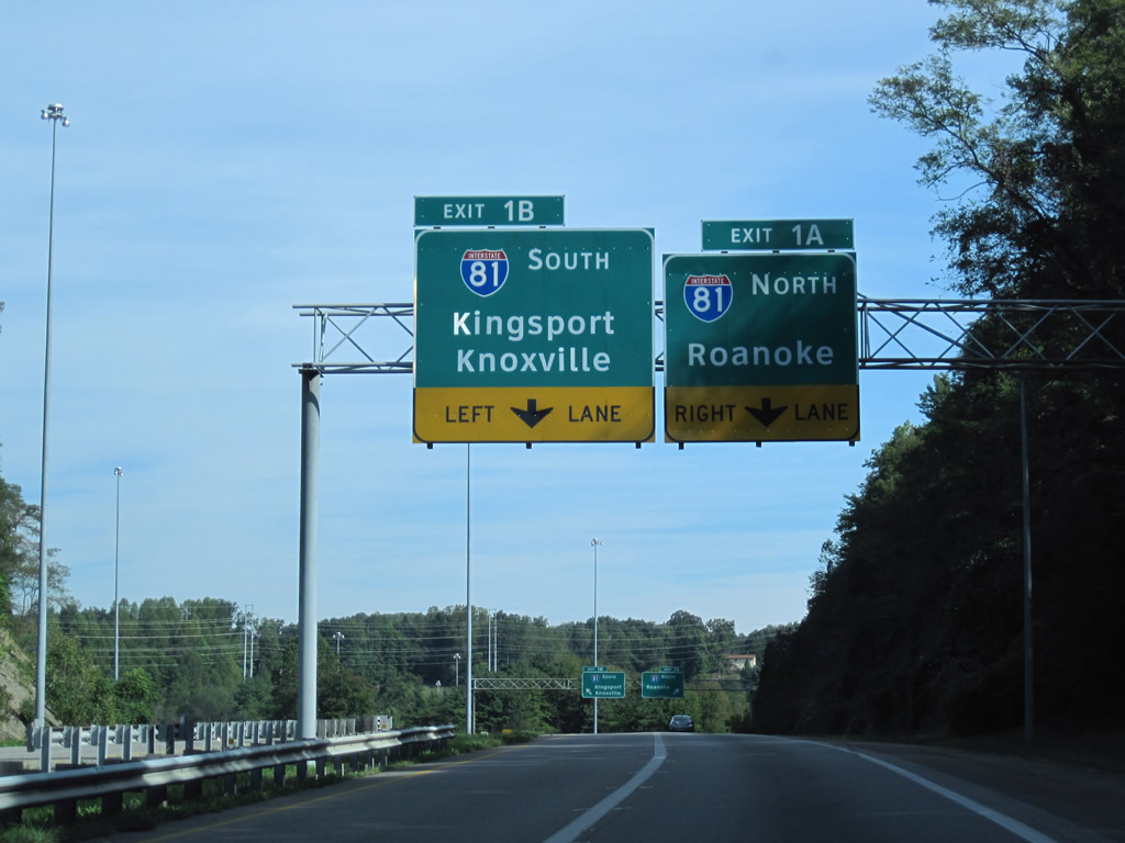
Interstate 381 north approaching I-81 in Bristol.
Clearview-fonted signs are continuing to become the standard within the state of Virginia. Signs for Interstate 381 north at Interstate 81 now are now in Clearview.
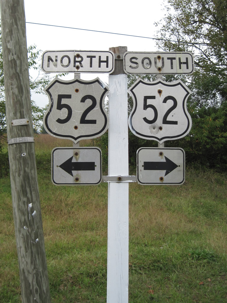
Not all signs in Virginia are new, as this set of U.S. 52 cutouts continues to live.
Cutouts were generally dropped as a standard for route markers in 1970, though a handful of states continued into the mid-70s.
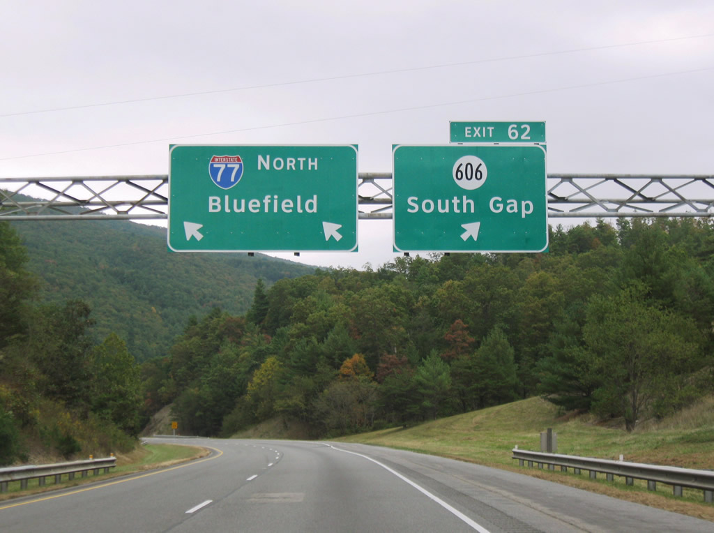
I-77 north at SSR 606 – South Gap.
Rains and clouds from the outflow of the short-lived Tropical Storm Nicole fed a storm system stretching northward along the entire East Coast. We hit rainfall in Wytheville and intermittent drizzle and sprinkles northward into West Virginia. This set of Clearview-based signs was one of the few installed along Interstate 77 between Interstate 81 and the WV line. It replaced this previously illuminated set of signs.
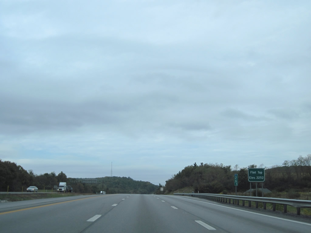
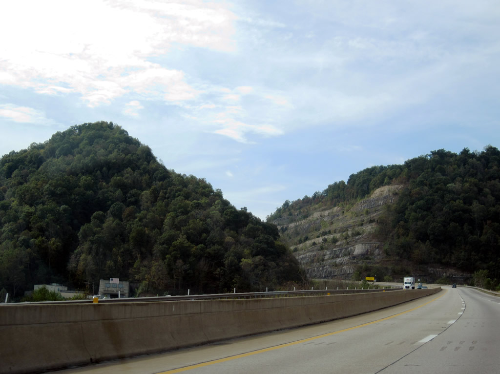
The West Virginia Turnpike reaches its highest elevation at Flat Top, 3,252 feet above sea level.
From this point northward, Interstate 77 descends to the first of three main line toll plazas along the 95.5-mile toll road. Passenger vehicles are charged $2.00 per plaza. EZPass discounts are only applied to those with a WV EZPass.
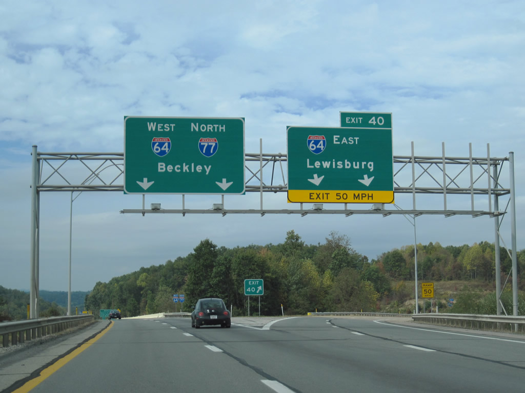
Interstate 64 west joins Interstate 77 north along the West Virginia Turnpike for 56.2 miles through to the toll road end at Charleston.
Interstate 64 bypasses Beckley to the south en route to Lewisburg and Lexington, Virginia. North of Beckley, the turnpike changes landscape, entering a deep valley along side Paint Creek.
Near milepost 75, Interstate 64 west & 77 north pass over Four Mile Road and a glimpse of the original Memorial Tunnel comes into view.
This two-lane tube was bypassed in 1987 with the current four-lane alignment to its north. The tunnel is used today for a variety of testing purposes from terrorist response drills to fire prevention systems. It is not open to the general public.
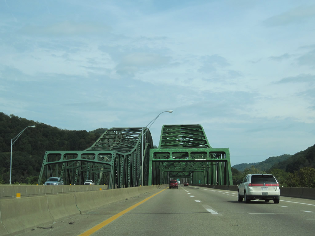
Interstate 64 west & 77 north span the Kanawha River at the West Virginia Turnpike end.
Known as the Bender Bridge, the original span, now southbound, opened in 1954 to coincide with the initial Turnpike completion. The northbound span was added in 1975.

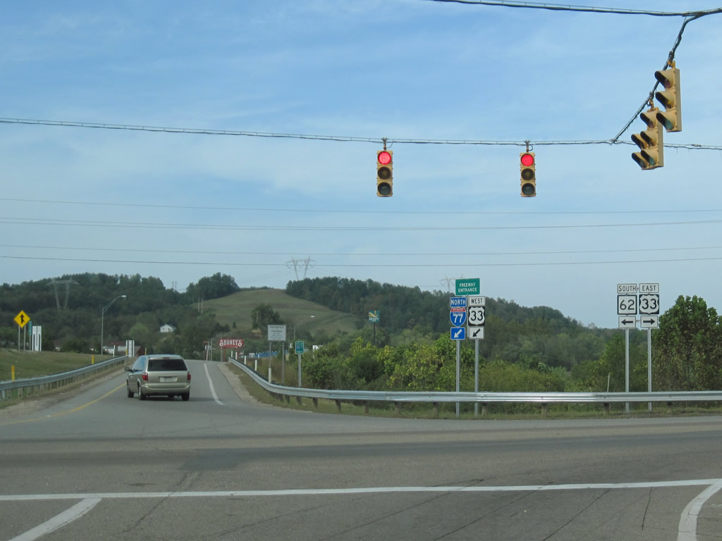
Interstate 79 concludes at the ramp split to Interstate 77 north and south.
Although most brown sign bridges in Charleston saw their background screens removed, a handful along Interstate 79 retain them. All signage for Interstate 77 north of the Interstate 79 terminus and south from Ripley was replaced with new panels utilizing Clearview font. Additionally, on-ramps to Interstate 77 now include California-style Freeway Entrance assemblies.
Pictured in this scene is the U.S. 33 westbound merge with Interstate 77 north at Exit 138. U.S. 33 uses the freeway through to Exit 146.
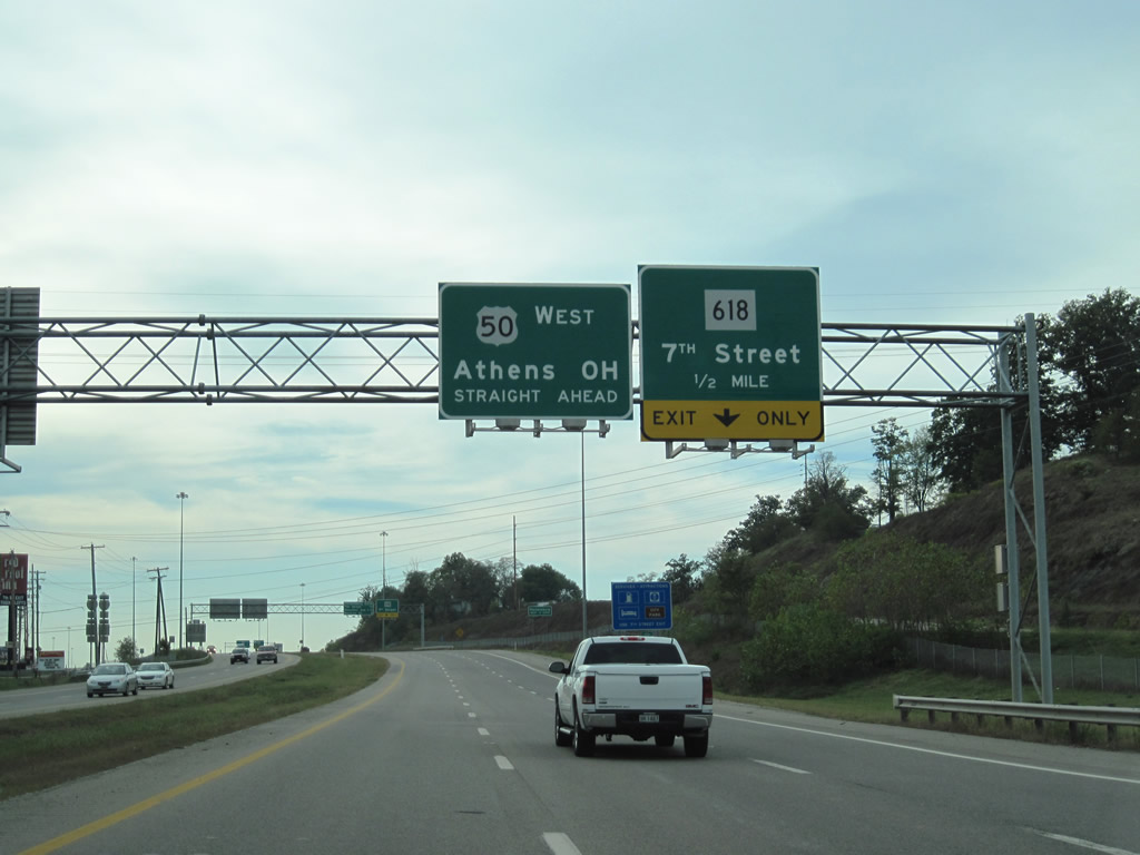
U.S. 50 travels along a freeway from Interstate 77 west to the Blennerhassett Island Bridge across the Ohio River. The freeway begins west of the modified diamond interchange with Interstate 77 (Exit 176) and quickly splits with the original U.S. 50 alignment of 7th Street (now signed as West Virginia 618).
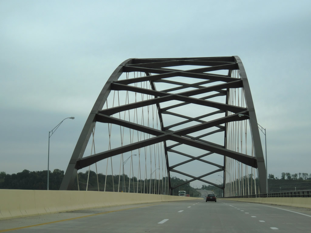
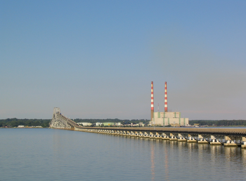
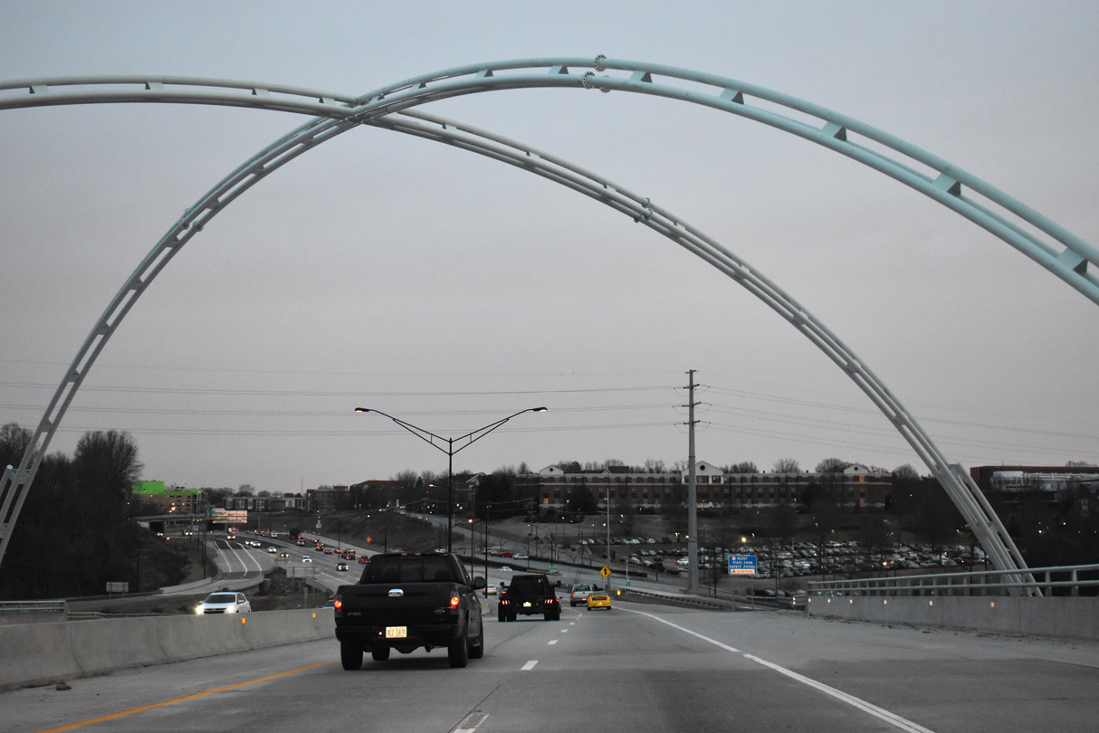
U.S. 50 east crossing the Blennerhassett Island Bridge
The Blennerhassett Island Bridge opened on June 13, 2008 at a cost of $120 million. Known as a Network Arch Bridge, the U.S. 50 span across the Ohio River concludes the Parkersburg south bypass to join U.S. 50 with an expressway bypass of Belpre, Ohio.
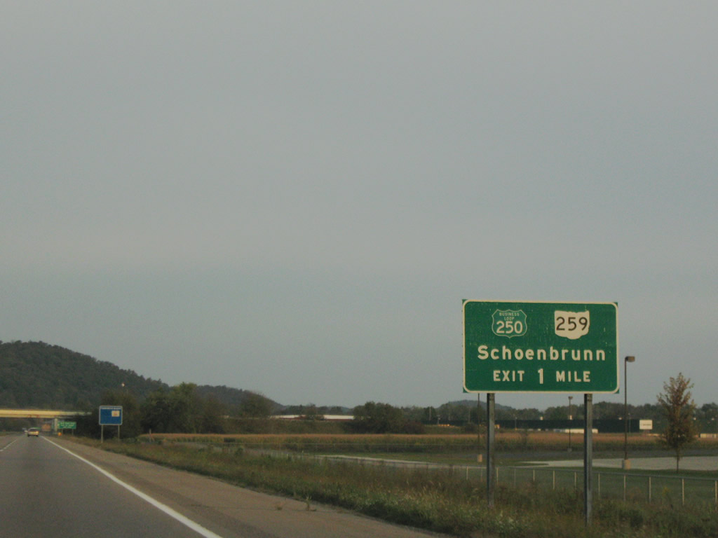
A signing oddity occurs with the U.S. 250 Business loop at New Philadelphia, Ohio. Traveling along the U.S. 250 freeway bypass to the south, motorists see green U.S. 250 Business Loop shields on guide signs for the ramps to High Avenue at Schoenbrunn.
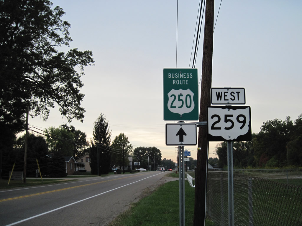
Once on the business loop, signs see U.S. 250 Business within a small green guide sign.
A new diamond interchange is nearing completion between Interstate 77 and Tuscarawas County Road 80 in north Dover, Ohio. Work began on September 16, 2009 and completion is expected on November 23, 2010.
Sources:
- “U.S. 25 widening to begin.” Times-News Online, June 4, 2009.
- West Virginia Turnpike @ Wikipedia.org.
- Blennerhassett Island Bridge @ Wikipedia.org.
I need to upload a photo of the business loop 250 shields that I found. They look like this one, complete with classic shield shape:
http://shields.aaroads.com/show.php?image=OH19630231&search=23
here is a photo of the 250:
http://shields.aaroads.com/show.php?image=OH19632501&search=250
At Exit 37 on I-26 in North Carolina, there actually is a new configuration. It’s an SPUI interchange in the underpass now. I saw it myself visiting in-laws in Hendersonville over Christmas.