|
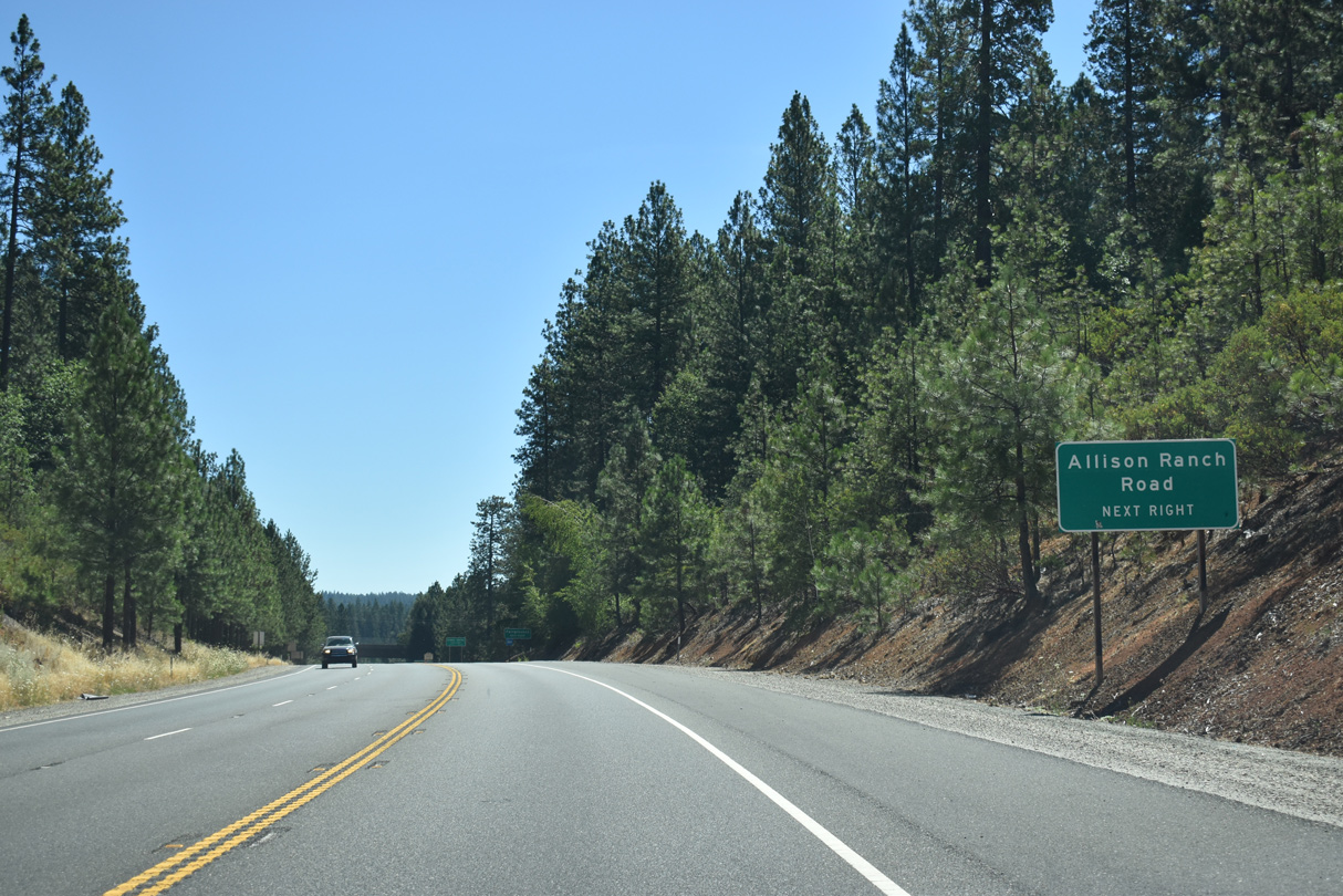
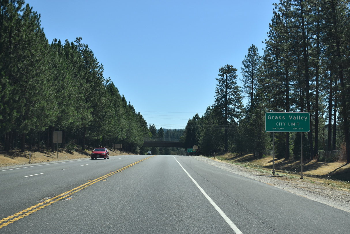
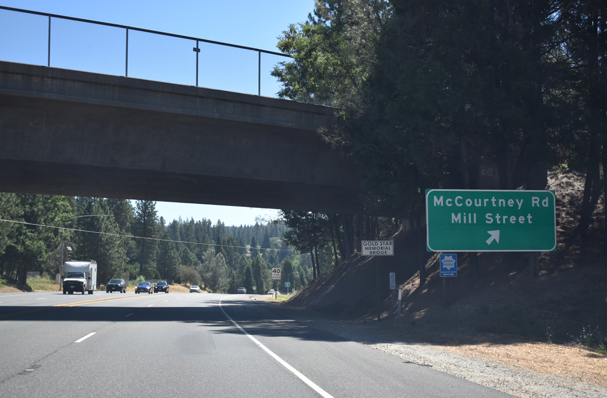
| SR 20 enters the city of Grass Valley east of Deadmans Flat. A folded diamond interchange connects the state route with McCourtney Road and Allison Ranch Road to the south and Mill Street to the north. 07/11/18 |
|
| The ramp for adjacent McCourtney Road departs SR 20 east at the Brighton Street over crossing. McCourtney Road intersects Mill Street and Allison Ranch Road at Glenn Jones Park nearby. 07/11/18 |
|
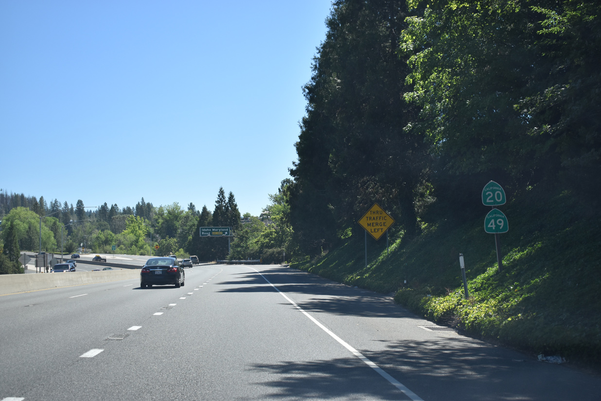
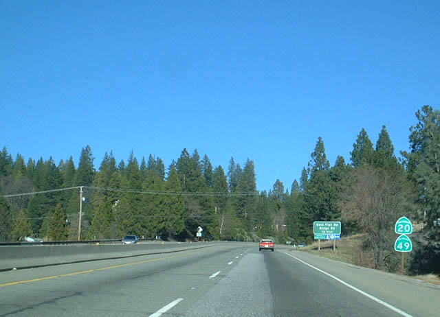
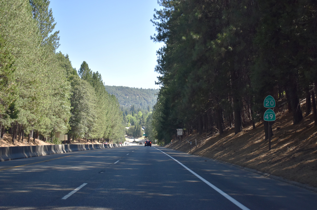
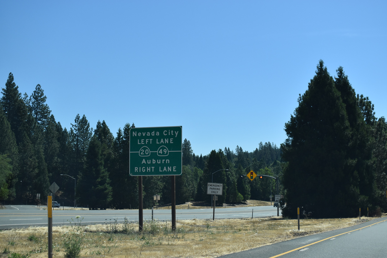
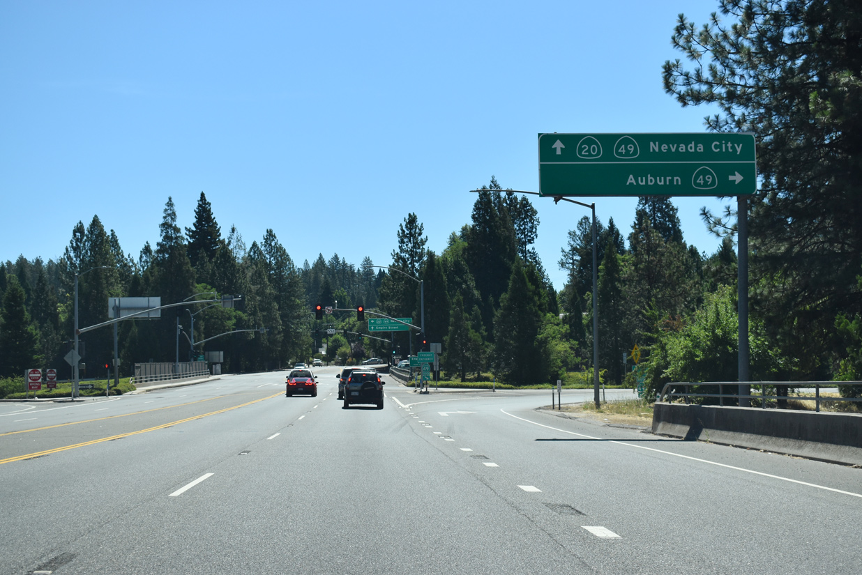
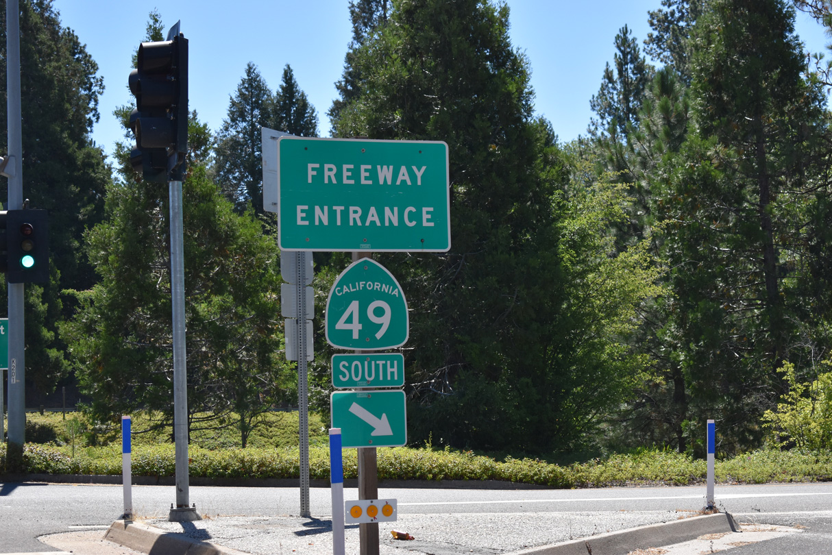
| Continuing over Mill Street, SR 20 meets SR 49 (Golden Center Freeway) at a diamond interchange across from Empire Street. 07/11/18 |
|
| SR 49 travels 22.6 miles south from SR 20 in Grass Valley to Interstate 80 in the Placer County city of Auburn. 07/11/18 |
|
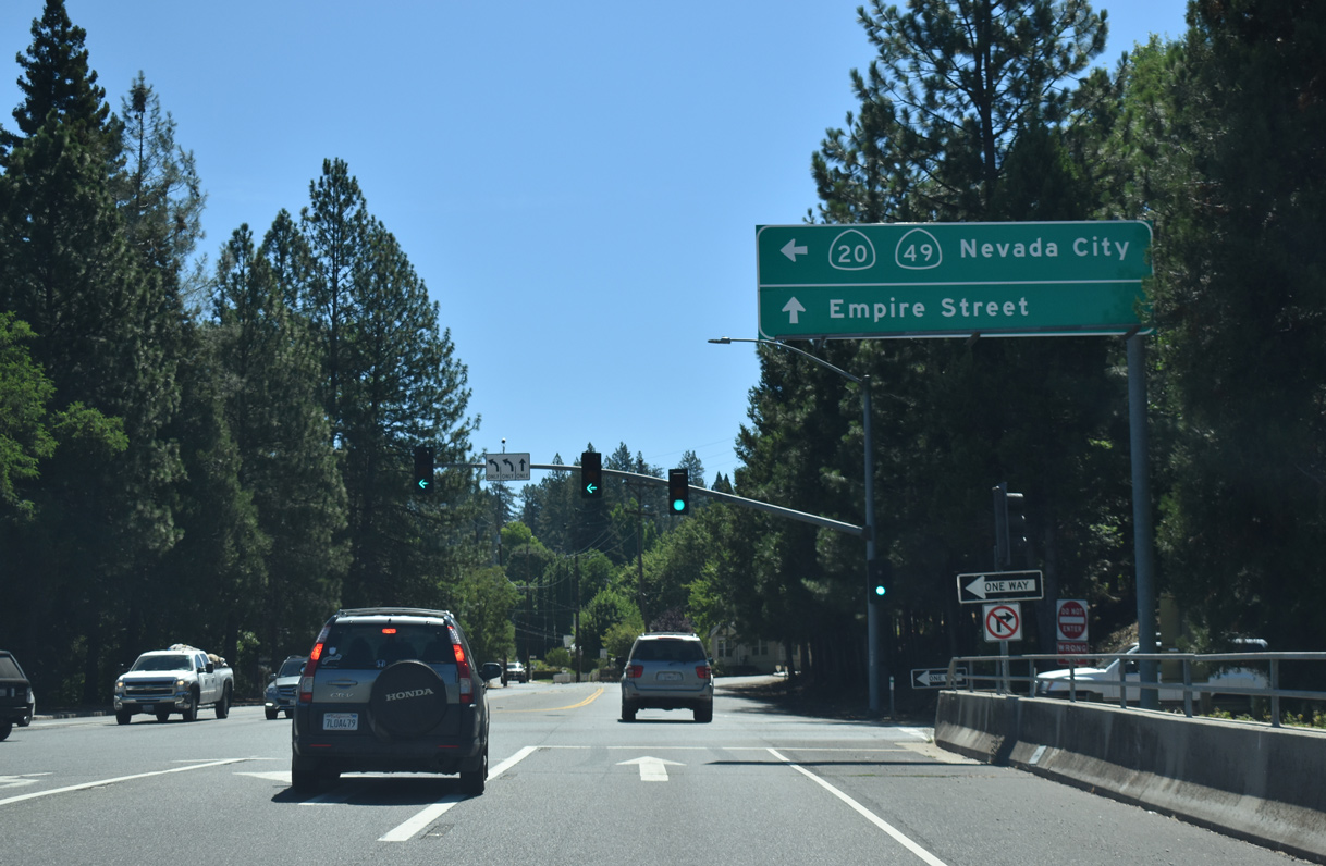
| Empire Street extends east from the east side ramps of the Golden Center Freeway into residential areas in the Boston Ravine community. SR 20 east combines with SR 49 north along a 1960s constructed freeway to Nevada City. 07/11/18 |
|
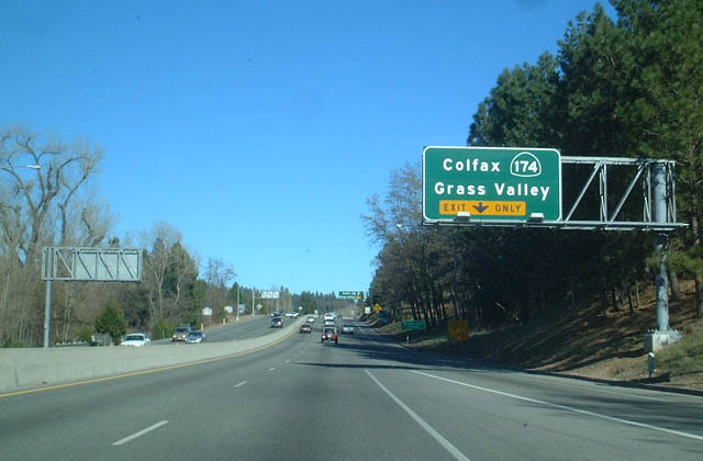
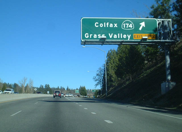
| SR 20 east & 49 north merge just ahead of Exit 182A for SR 174 (Colfax Avenue). 01/19/03 |
|
| Exit 182A leaves the Golden Center Freeway for Neal Street, Bennett Street and SR 174 (Colfax Avenue) south to Interstate 80 at Colfax. 01/19/03 |
|
| Reassurance markers for SR 20 east & 49 north posted within the split diamond interchange at SR 174 east, Bank Street and Bennett Street. 01/19/03 |
|
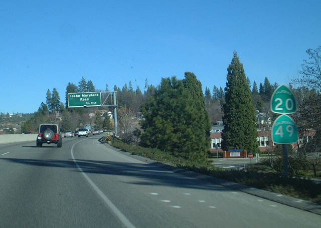
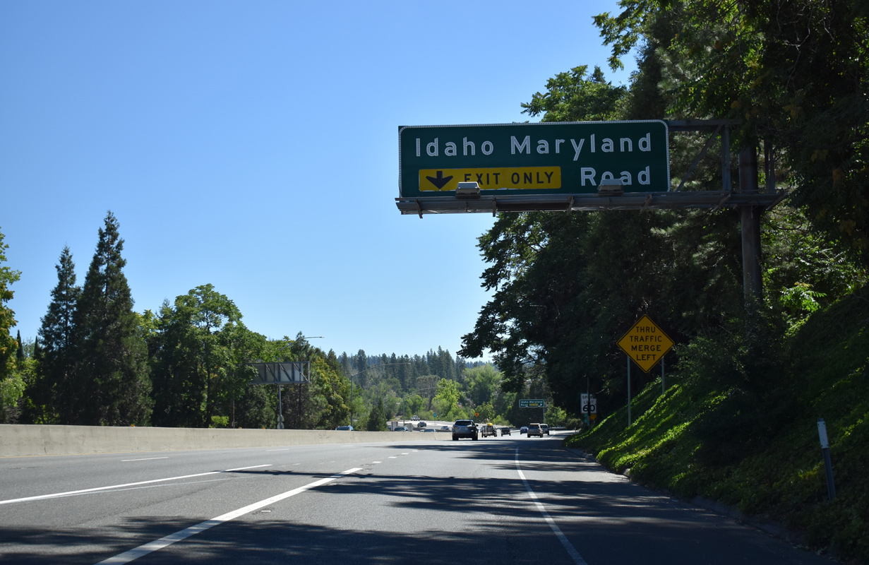
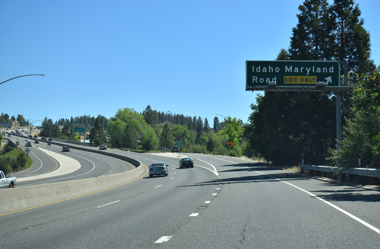
| Advancing east from the Grass Valley business district, the ensuing exit along the Golden Center Freeway is with Idaho Maryland Road. 01/19/03 |
|
| East Main Street (SR 20/49 Business) ties into the folded diamond interchange (Exit 182B) joining Idaho Maryland Road with SR 20/49 to the west. 07/11/18 |
|
| Exit 182B leaves SR 20 east / 49 north for Idaho Maryland Road west back into Grass Valley and east toward Nevada County Airport (GOO) and Banner Mountain. 07/11/18 |
|
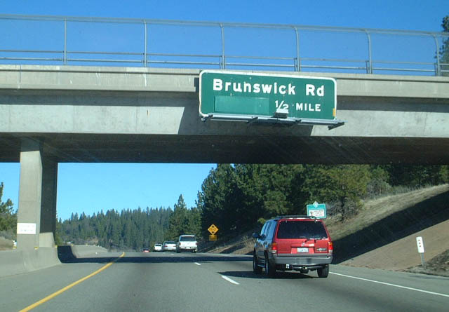
| A diamond interchange (Exit 183A) was constructed along the Golden Center Freeway with Dorsey Drive in 2013/14. The previous overpass for Dorsey Drive, a half mile west of Brunswick Road, was replaced with a wider span. 01/19/03 |
|
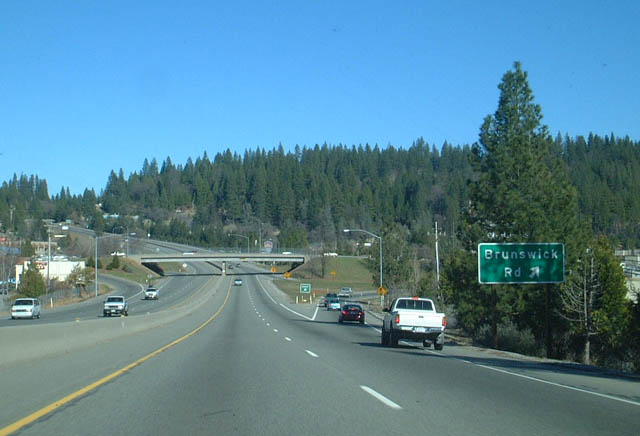
| A six-ramp parclo interchange (Exit 183B) joins SR 20/49 with an array of retail surrounding Brunswick Road. 01/19/03 |
|
| Reassurance shields for SR 20 east & 49 north posted after the entrance ramp from Brunswick Road. 01/19/03 |
|
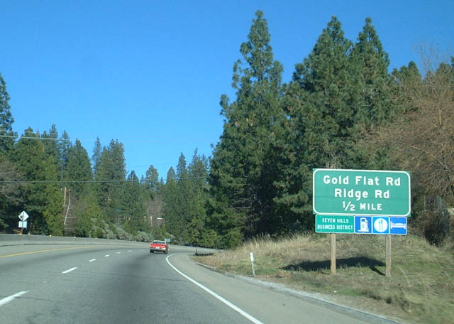
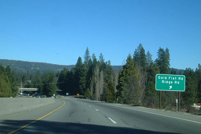
| SR 20/49 navigate through a gap ahead of Exit 185A and the Nevada City line. 01/19/03 |
|
| Exit 185A leaves the Golden Center Freeway north for Gold Flat Road east and Ridge Road west. 01/19/03 |
|
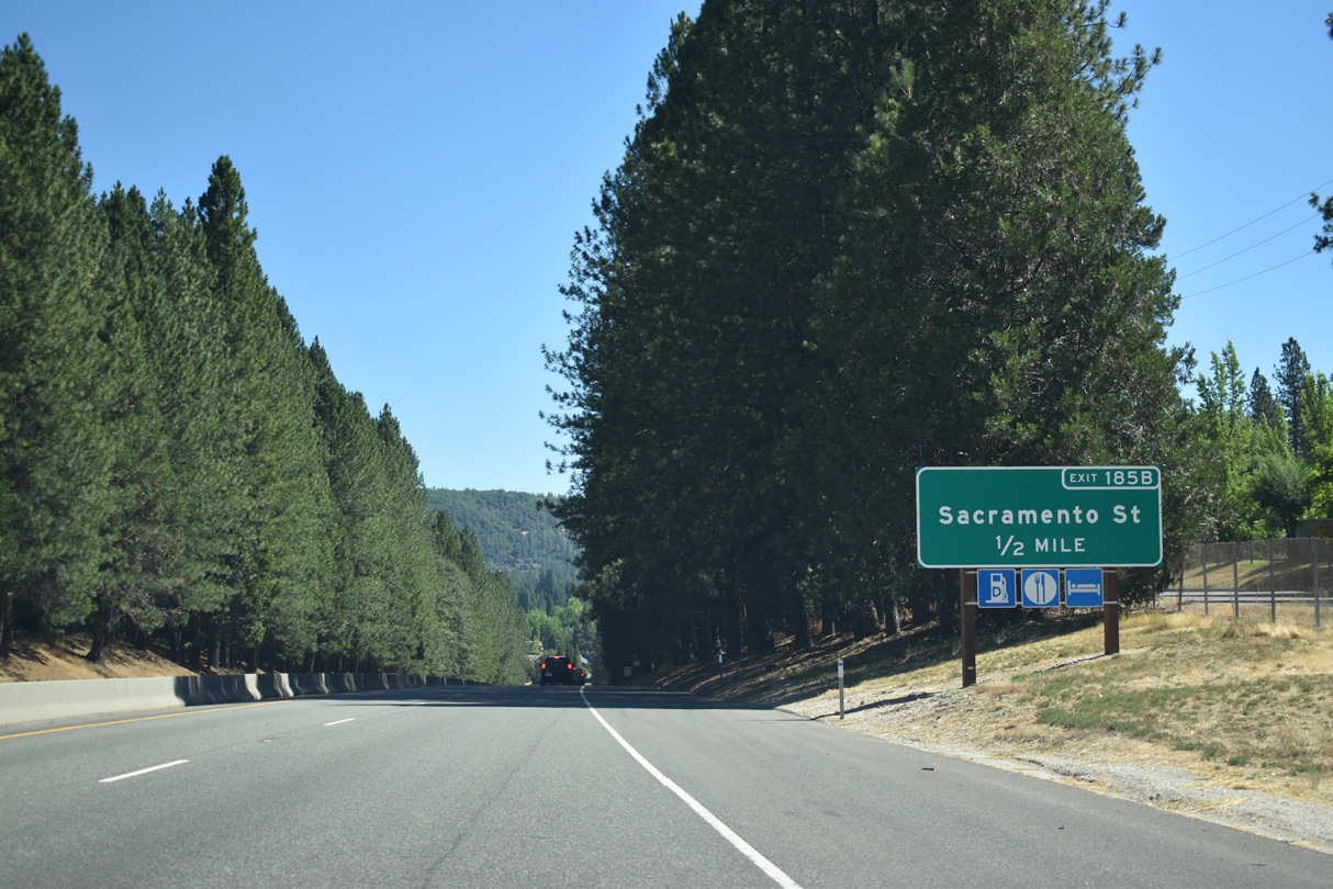
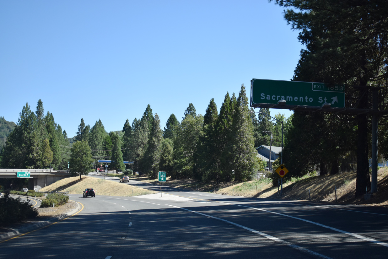
| Continuing north, SR 20/49 approach the Nevada City business district and Sacramento Street (SR 20 Business/49 Business). 07/11/18 |
|
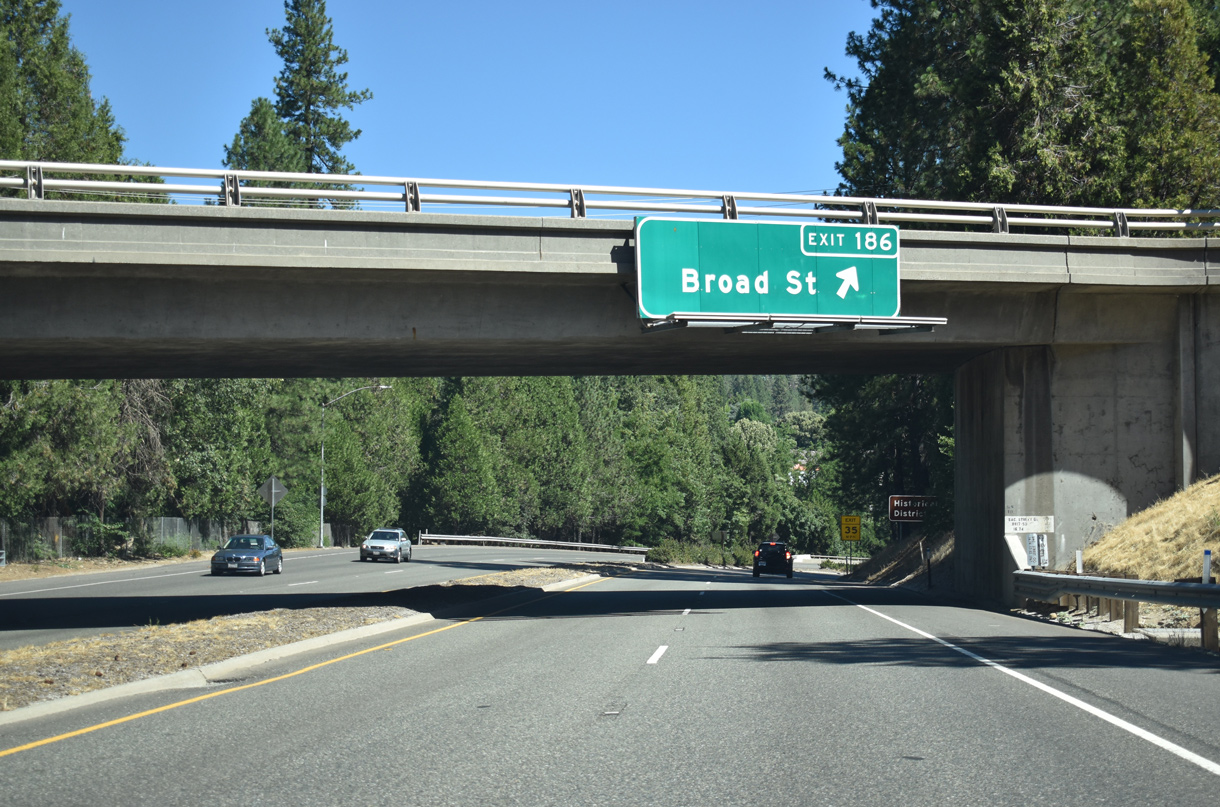
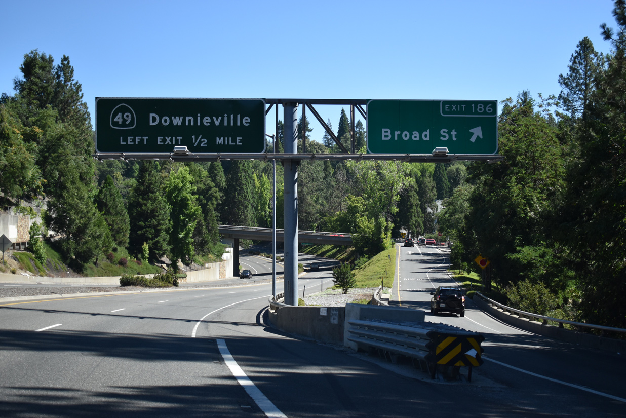
| Succeeding half diamond interchanges join SR 20 east / 49 north with Sacramento Street at Exit 185B and Broad Street (SR 20 Business/49 Business) at Exit 186. 07/11/18 |
|
| Broad Street extends across the Golden Center Freeway from Sacramento, Boulder and Nevada Streets into Downtown Nevada City. SR 20 Business/49 Business shift to the west side of SR 20/49 along Coyote Street to the north. 07/11/18 |
|
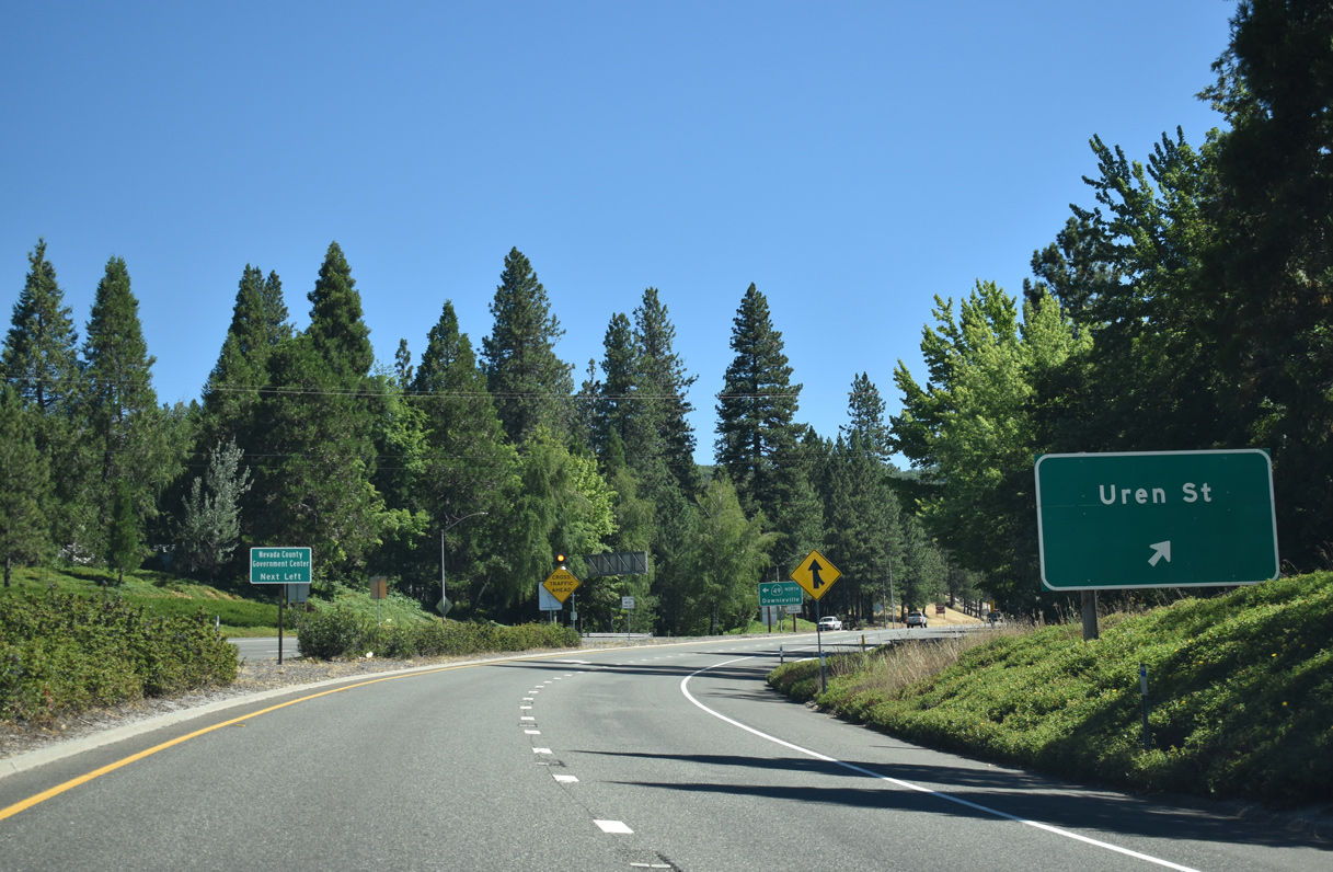
| Navigating through an S-curve below Broad and Washington Streets, SR 20 east / 49 north advance 0.4 miles to their separation at Uren Street. 07/11/18 |
|
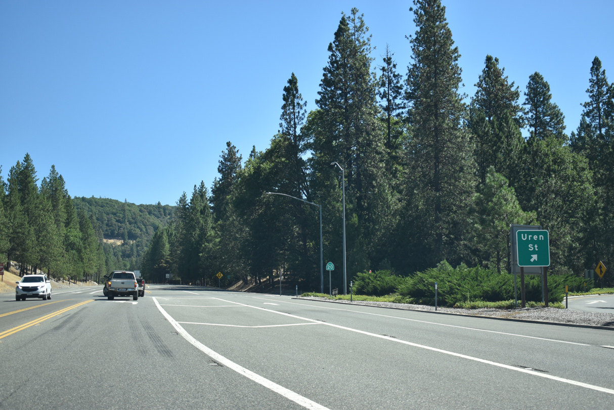
| An off-ramp to Uren Street east departs from SR 20/49 just beyond the entrance ramp returning SR 20 Business/49 Business from Washington Street. 07/11/18 |
|
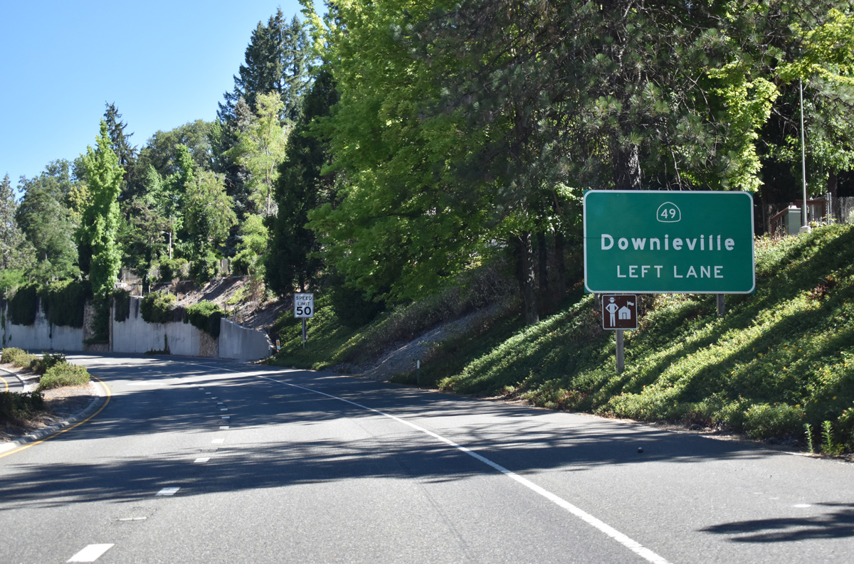
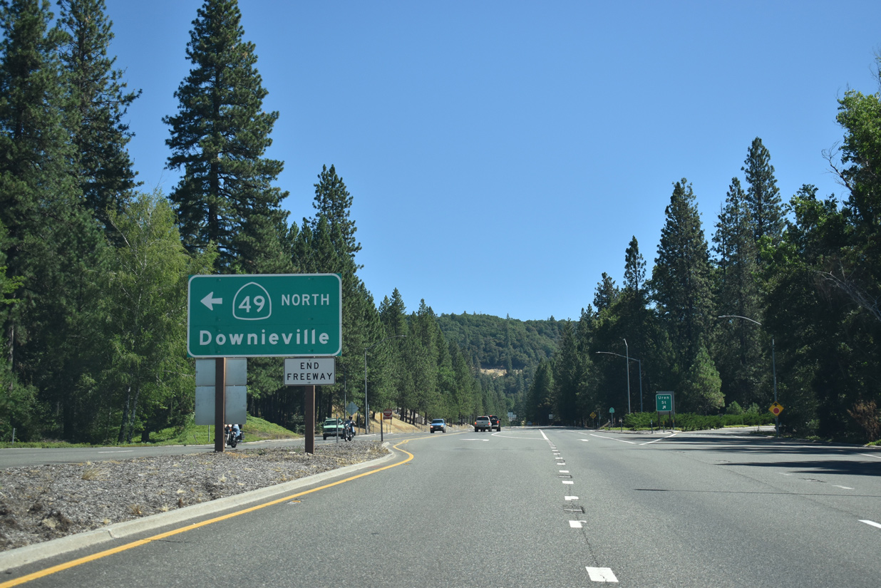
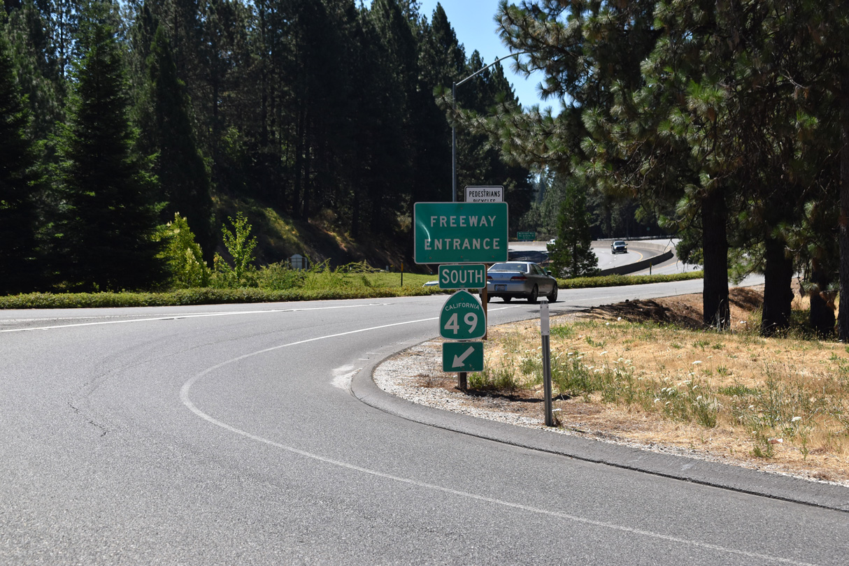
| The Golden Center Freeway concludes at the at-grade intersection where SR 49 branches west toward Indian Flat en route to Downieville. Gaining elevation, SR 20 reduces into a two lane, rural highway east along Harmony Ridge. 07/11/18 |
|
| Uren Street stems east from SR 20 and SR 49 to Nevada City residential areas west of Eagle Ravine. 07/11/18 |
Page Updated 03-19-2019.

 East
East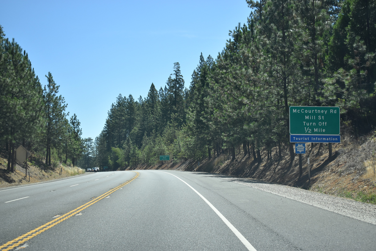
 North
North