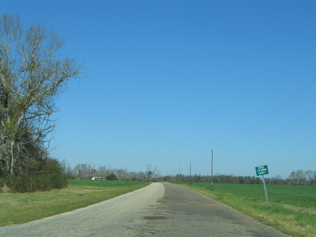
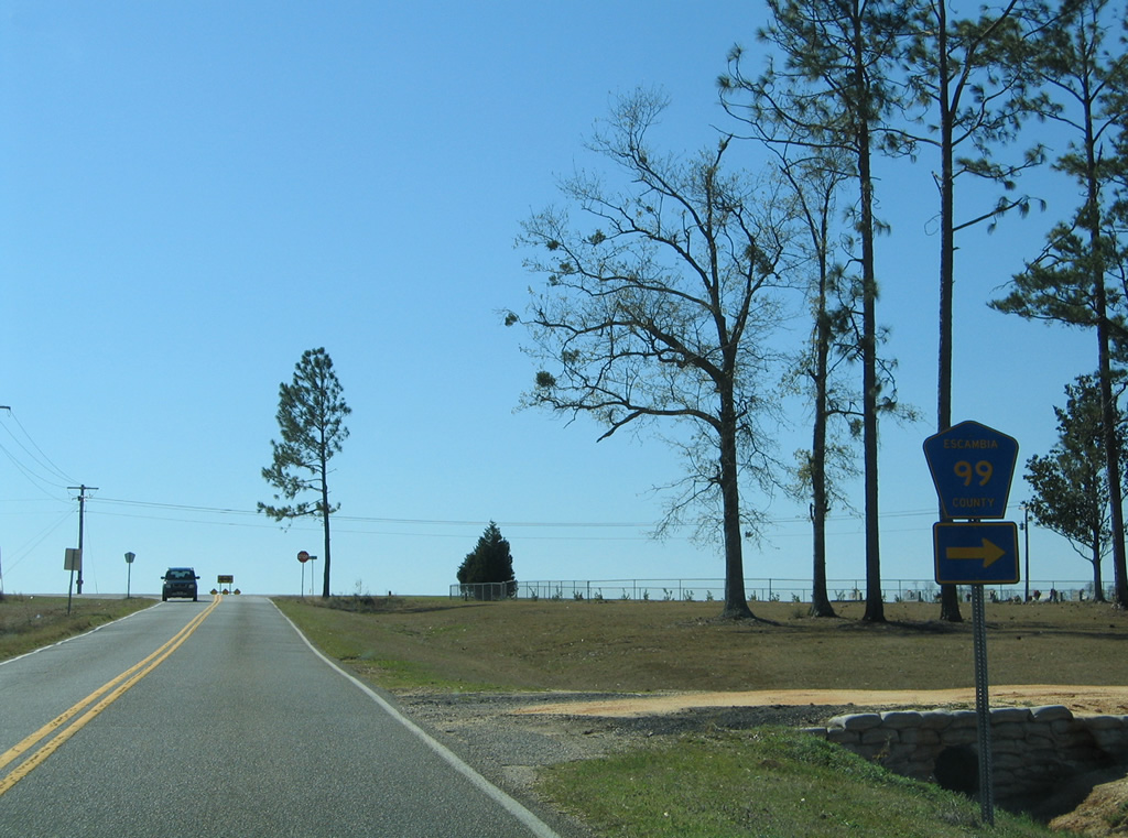
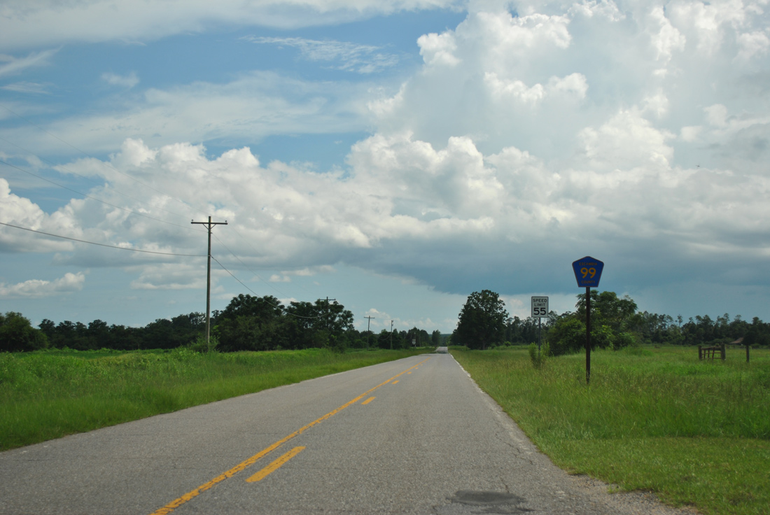
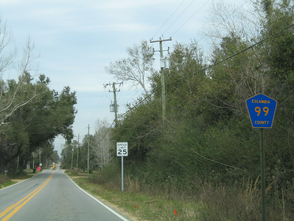
There are three sections of County Road 99 posted in Escambia County. The southern branch traveled 7.61 miles north along Beulah Road, from Hurst Hammock Road north to County Road 184 at Muscogee. 2.59 miles of this section, from U.S. 90 Alternate to Isaacs Lane, was transferred to state maintenance in 2019. Florida State Road 99 will connect with Interstate 10 at a new interchange across from W Kingsfield Road. The bulk of this route is rural, except for in the Beulah area, where suburban growth encroaches from the east.
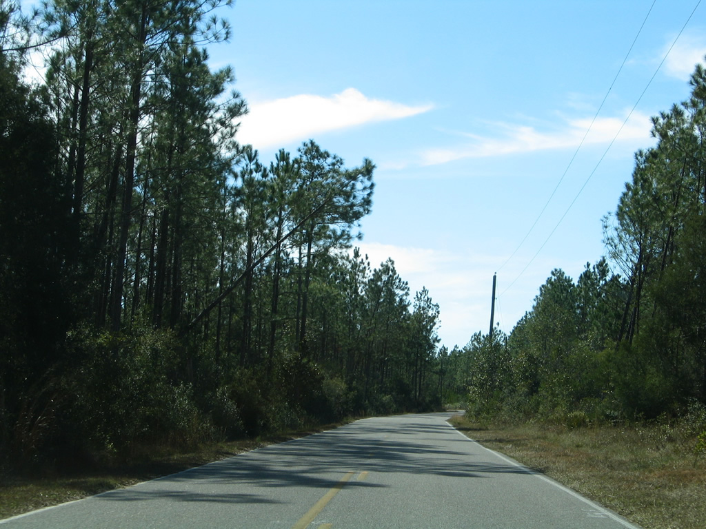
The middle section of CR 99 travels 14.99 miles north from the west end of CR 196 at Barrineau Park to Bay Springs, McKinnonville and State Riad 97 near Walnut Hill. Equally rural is the northern stretch, from SR 97 to Bratt and the Alabama state line. The FDOT Federal-Aid Road Report only attributes 6.21 miles of CR 99 from SR 97 to a point just north of CR 4, though the route is signed to the state border.
|
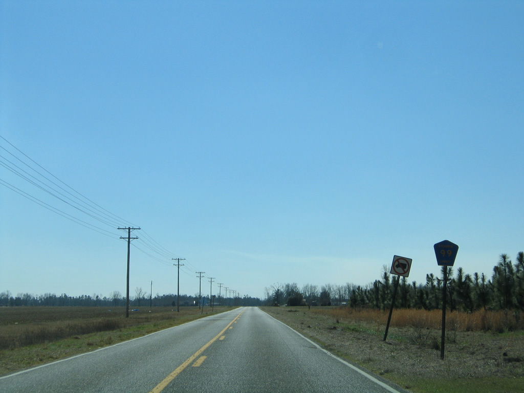
| Entering the rural intersection with County Road 164 west to SR 97 and east to Oak Grove and U.S. 29 on CR 99 north. 02/08/06 |
|
| County Road 99 remains northward to Gobbler Road before curving east to cross Pine Barren Creek en route to Bratt. 02/08/06 |
|
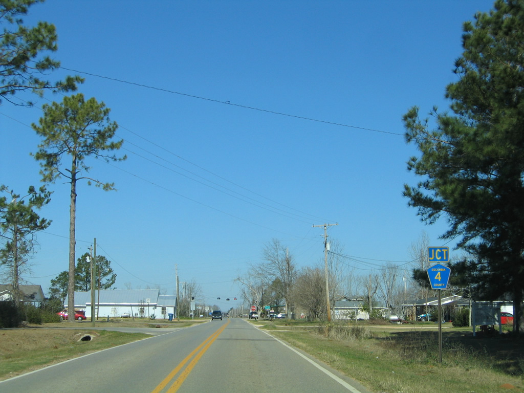
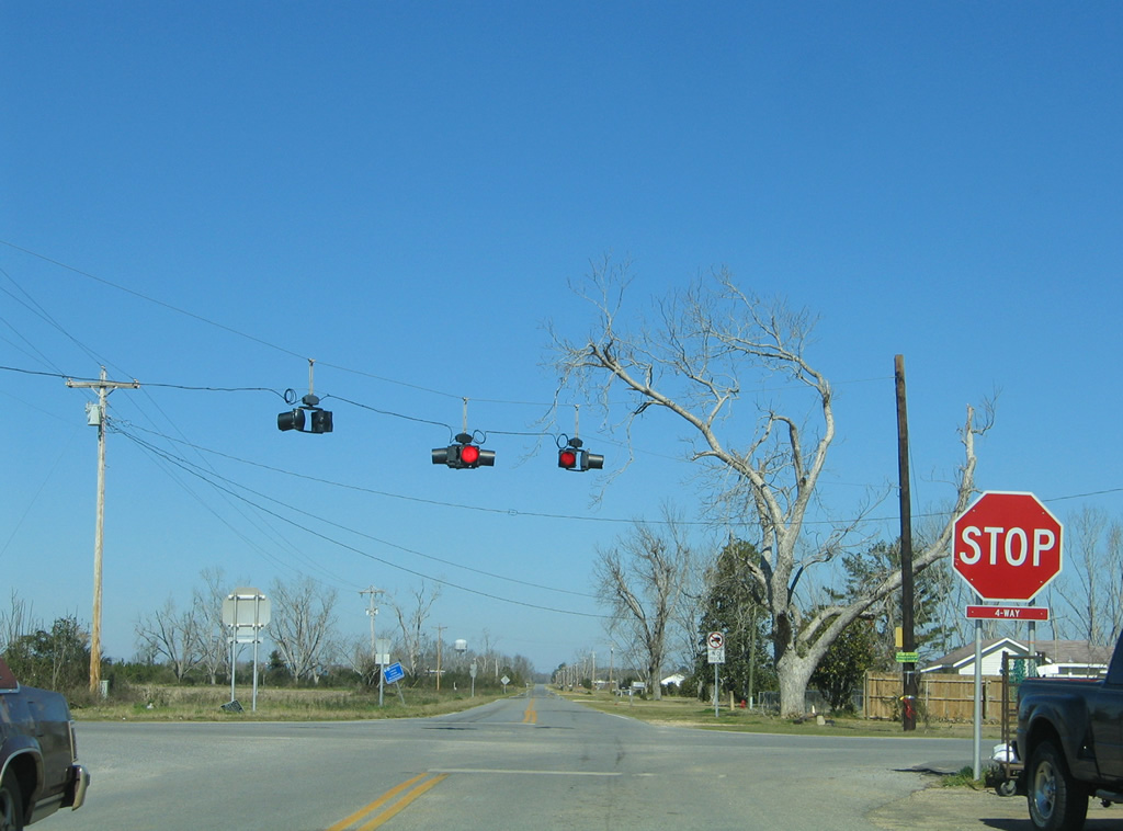
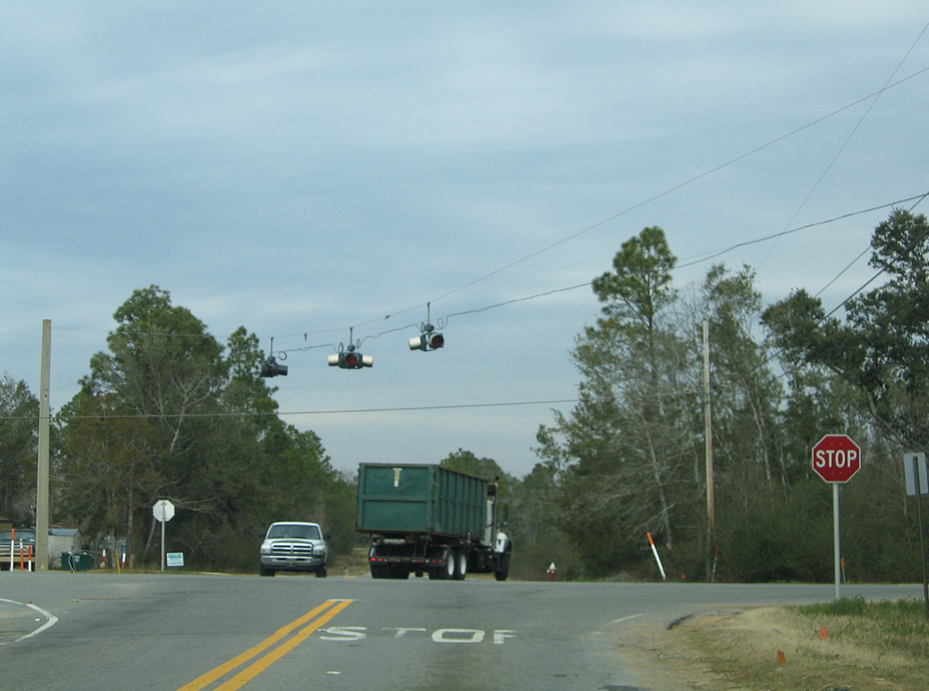
| Escambia County Road 4 intersects County Road 99 at the rural community of Bratt. 02/08/06 |
|
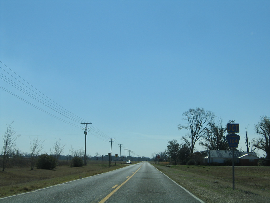
| CR 4 stretches 13.35 miles across northern Escambia County, between SR 97 at Davisville and U.S. 29 in the city of Century. 02/08/06 |
|
| A set of flashers accompany the four-way stop sign at County Road 99 and 4. CR 4 represents the western extent of roadway between Davisville and Milligan in Okaloosa County, with State Road 4 stemming east from U.S. 29 into Santa Rosa County. 02/08/06 |
|
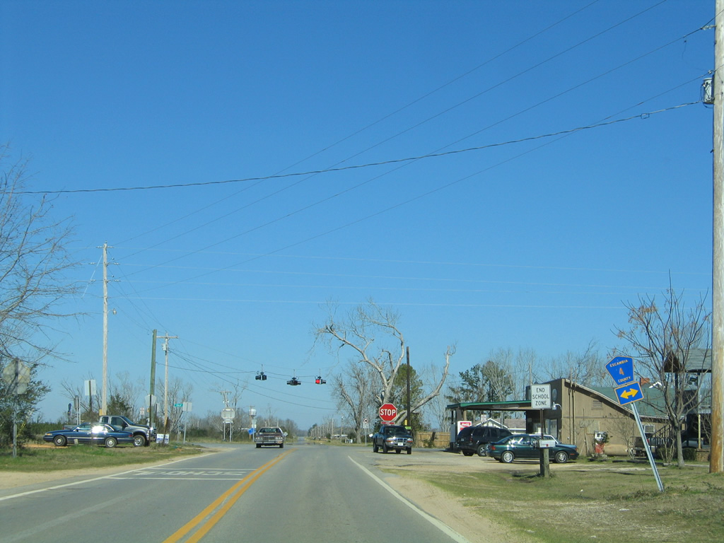
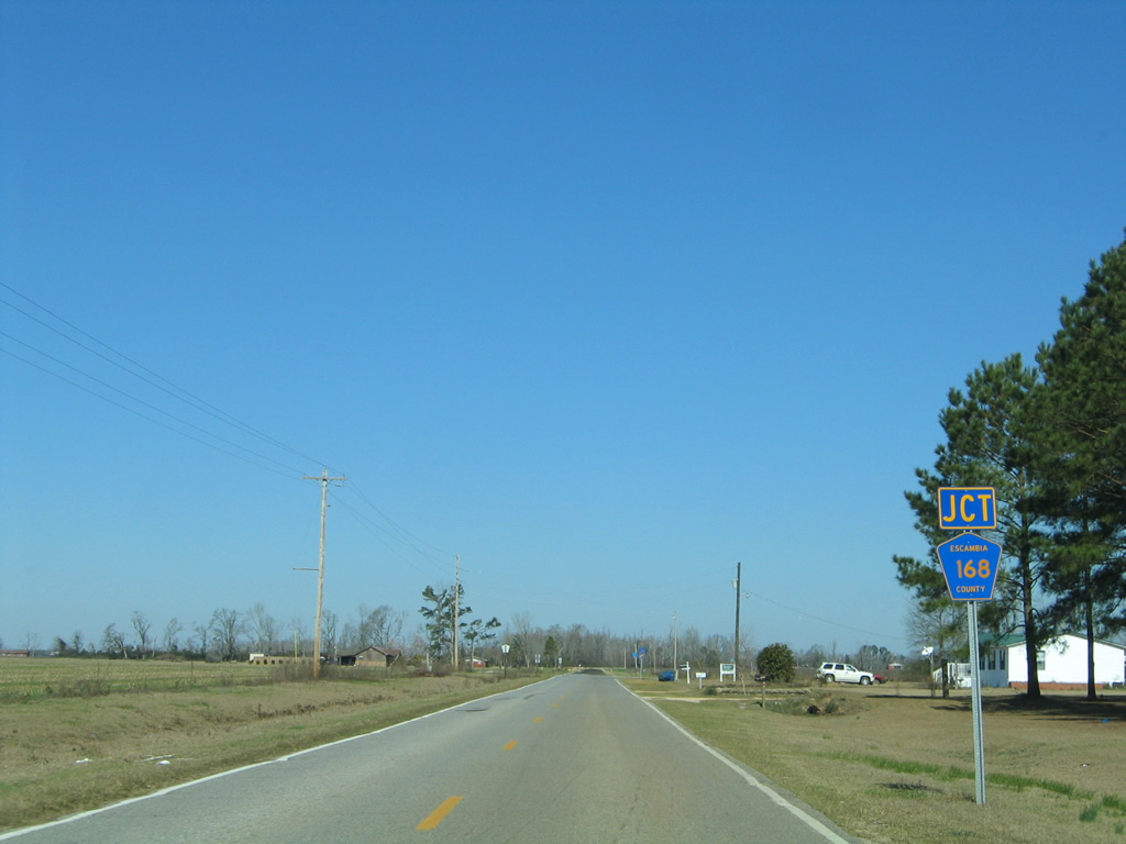
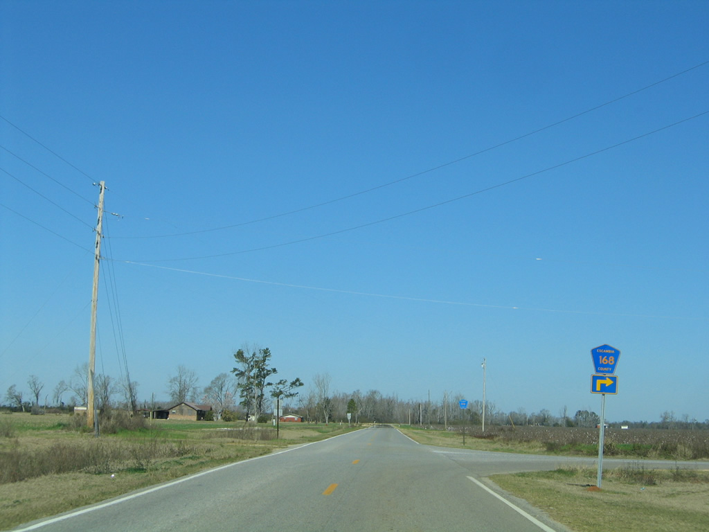
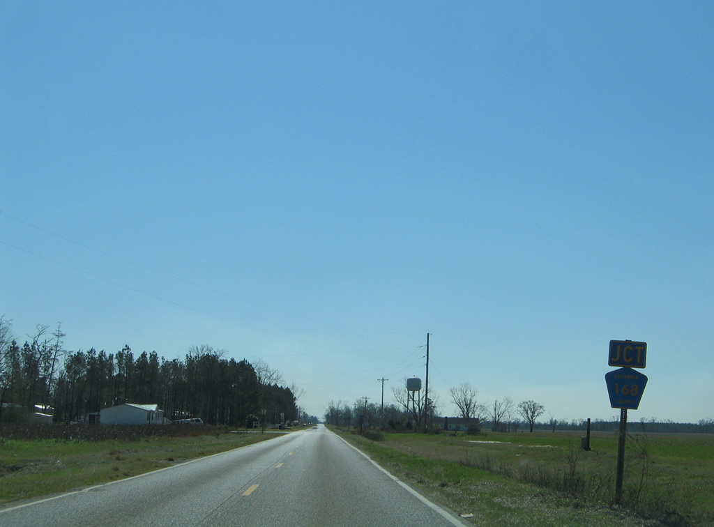
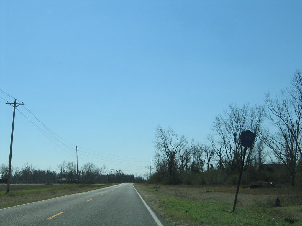
| 1.5 miles further north along CR 99 is the west end of County Road 168. 02/08/06 |
|
| Escambia County Road 168 parallels County Road 4 eastward to CR 4A north of Byrneville. A second section of CR 168 exists between Cottondale and Graceville in Jackson County. 02/08/06 |
|
| Cutting across another swath of farm land, County Road 99 makes its final approach to the Alabama state line. 02/08/06 |
|
| County Road 99 in Florida transitions to County Road 8 north into Escambia County, Alabama. 02/08/06 |
|
| Escambia County Road 8 extends CR 99 north to U.S. 31, midway between Malta and Canoe. 02/08/06 |
|
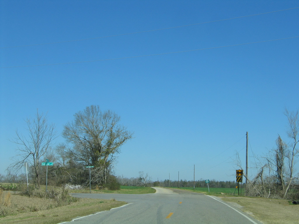
| County Road 8 in Escambia County, Alabama becomes County Road 99 south in Escambia County, Florida just beyond State Line Road. 02/08/06 |
|
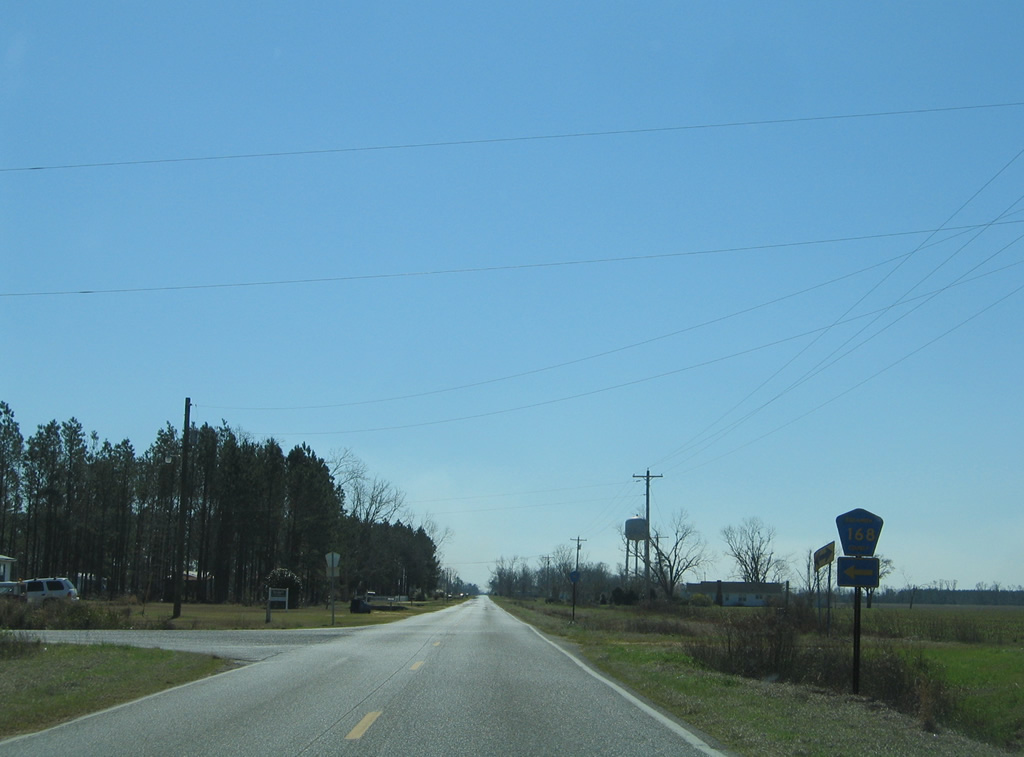
| 0.7 miles south from the state border, County Road 99 intersects the west end of County Road 168. 02/08/06 |
|
| Escambia County Road 168 travels the township line east to County Road 4A north of Byrneville. CR 4A continues the drive east to Gandyville and the city of Century. 02/08/06 |
|
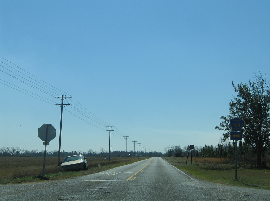
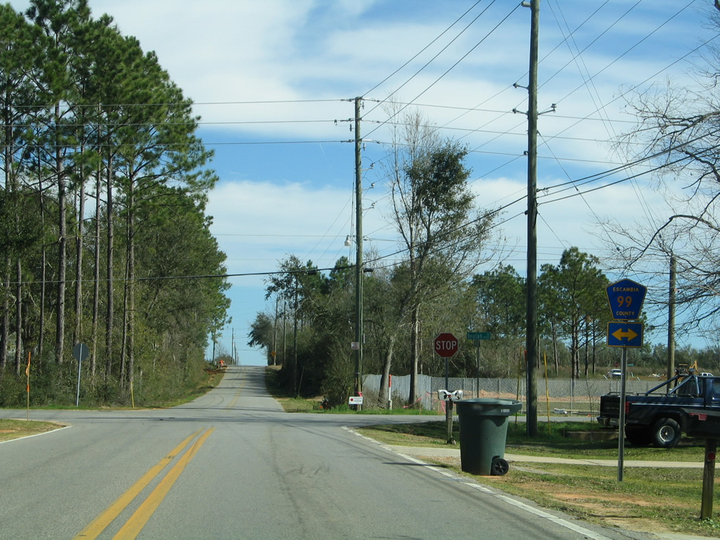
| Approaching the four-way stop sign between County Road 99 south and County Road 164 near Oak Grove. 02/08/06 |
|
| Escambia County Road 164 winds 11.35 miles east from SR 97 to U.S. 29 near McDavid. 02/08/06 |
|
| County Road 99 continues another half mile south to CR 99A from CR 164. 02/08/06 |
|
| Heading south from the east end of CR 99A on CR 99 near Oak Grove. 02/07/06 |
|
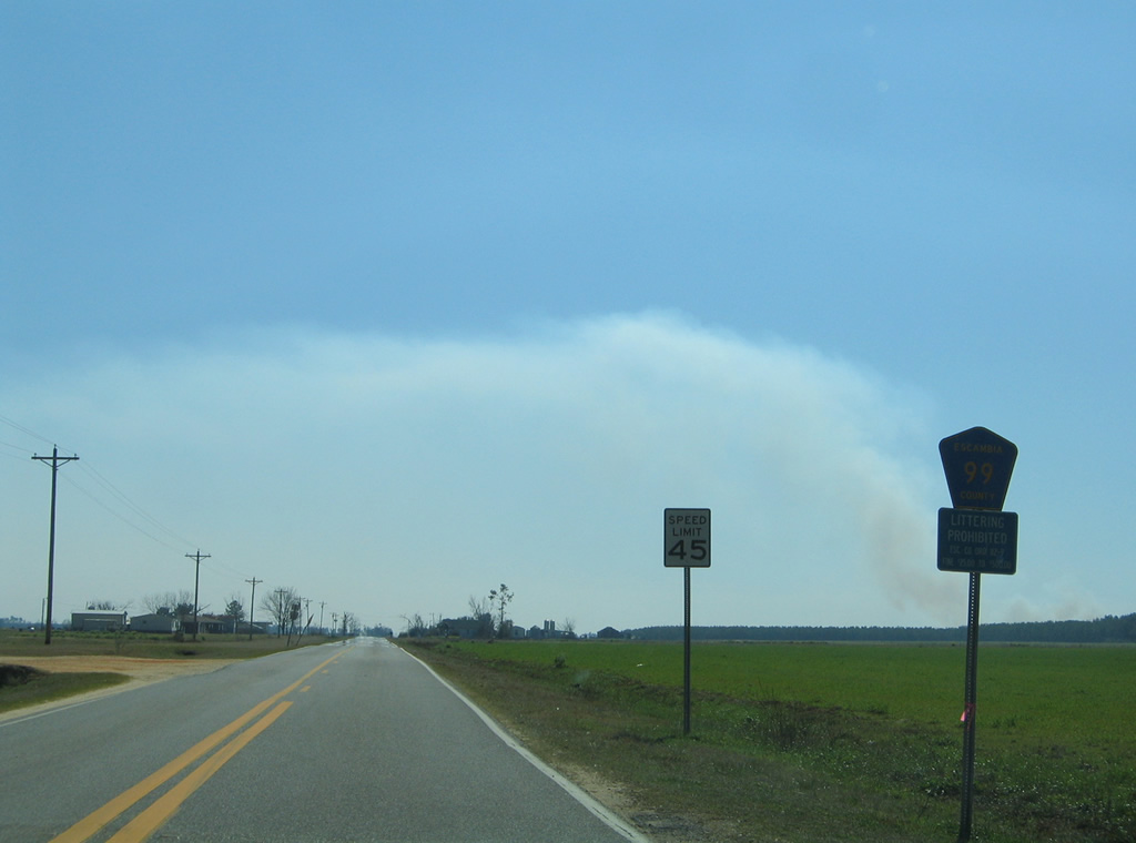
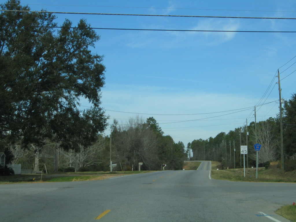
| County Road 99 south shares an implied 0.74 mile overlap with SR 97 north between the north and middle sections. 02/07/06 |
|
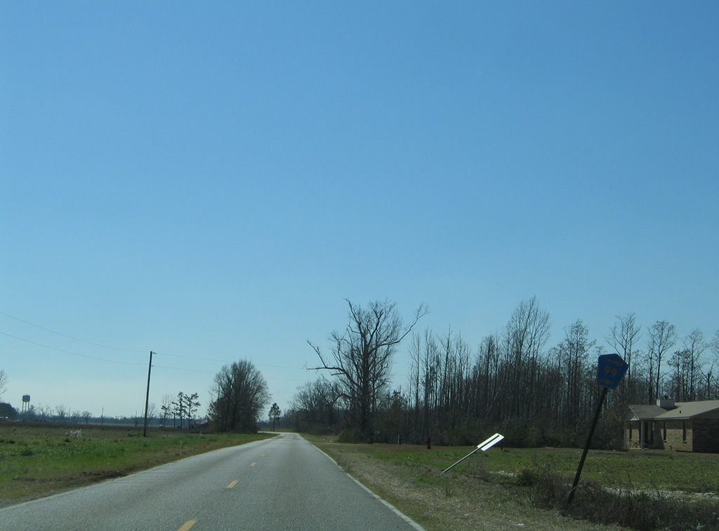
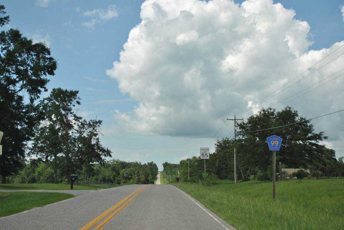
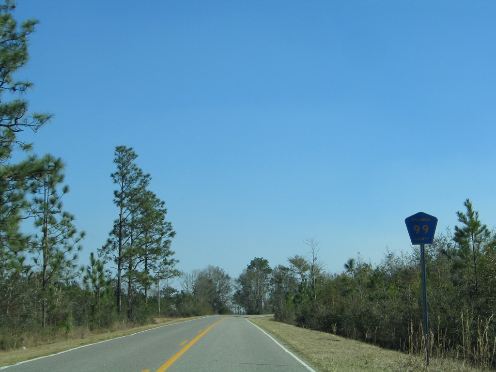
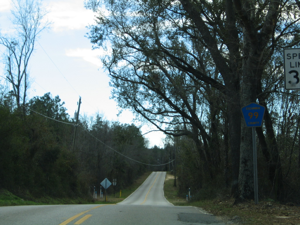
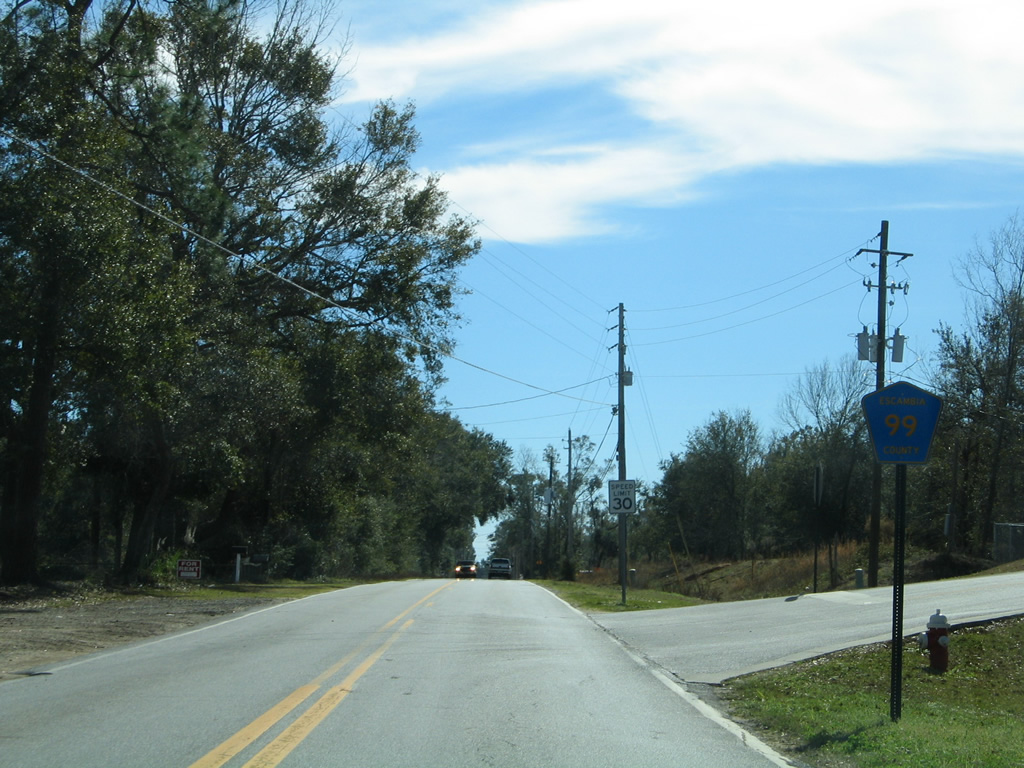
| Leading away from the west end of County Road 182 (Molino Road) on County Road 99 north. Bay Springs is 5.5 miles away. 07/24/11 |
|
| County Road 99 south breaks away from SR 97 north for a lengthy trek across farm land to McKinnonville. Pictured here is the first shield posted immediately south of SR 97. 02/08/06 |
|
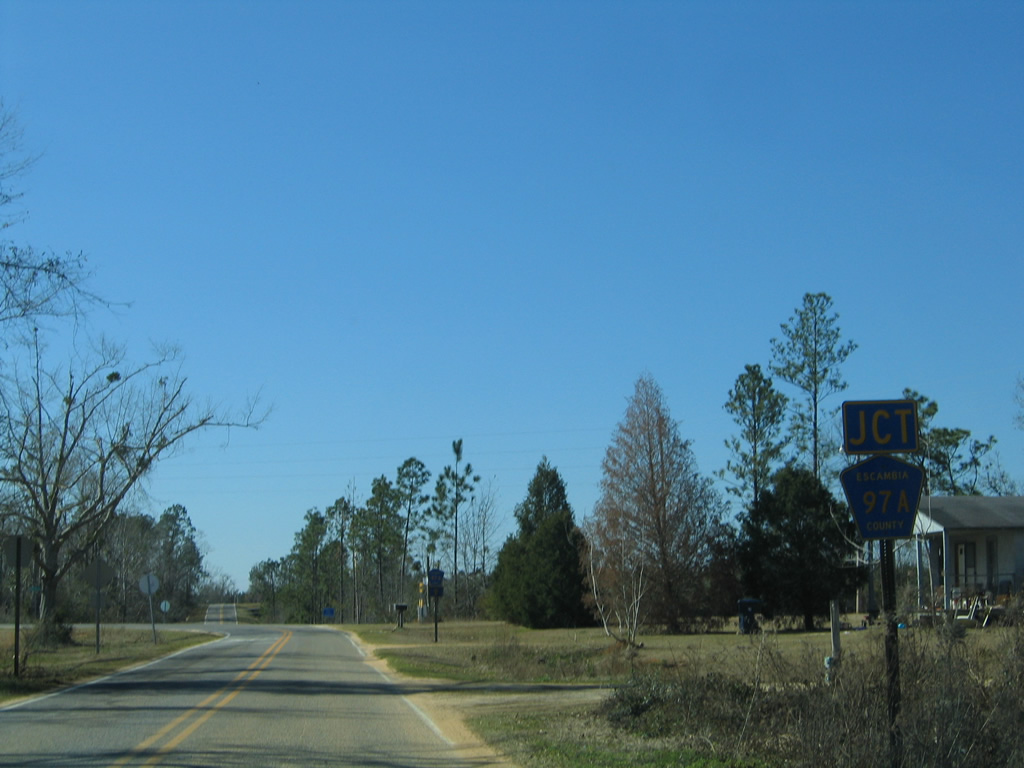
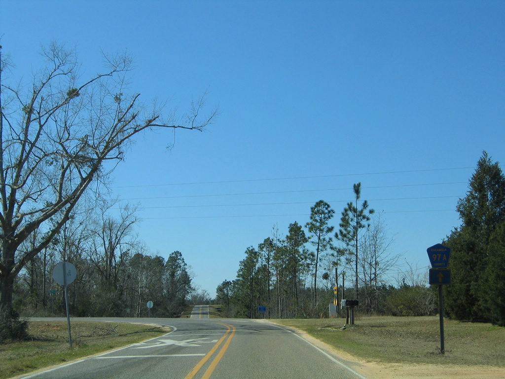
| Once at Bay Springs, County Road 99 dog legs to the west to intersect the south end of Escambia County Road 97A. 02/08/06 |
|
| County Road 97A extends west from CR 99 and Bay Springs to Waters Ferry Road and north to Enon and SR 97 at Davisville. 02/08/06 |
|
| Resuming a southward course, CR 99 leaves Bay Springs before curving eastward toward Barrineau Park. 02/08/06 |
|
| Reassurance shields are posted in both directions on the curve preceding Crabtree Church Road. 02/08/06 |
|
| Turning due south again through another bucolic stretch from Crabtree Church Road to CR 182. 02/08/06 |
|
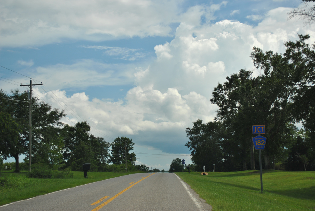
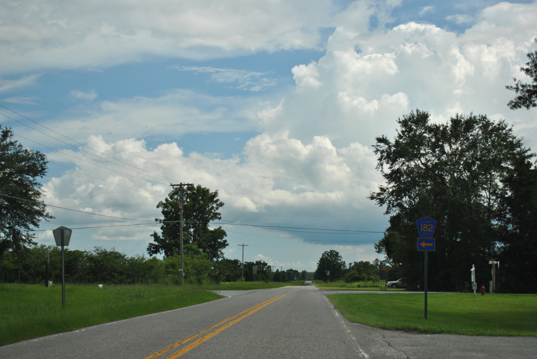
| Escambia County Road 182 spurs east from CR 99 along Molino Road. 07/24/11 |
|
| Molino Road extends west from CR 99 and 182 to a handful of residences. CR 182 follows the road 7.45 miles east to the community of Molino, beyond U.S. 29, otherwise. 07/24/11 |
|
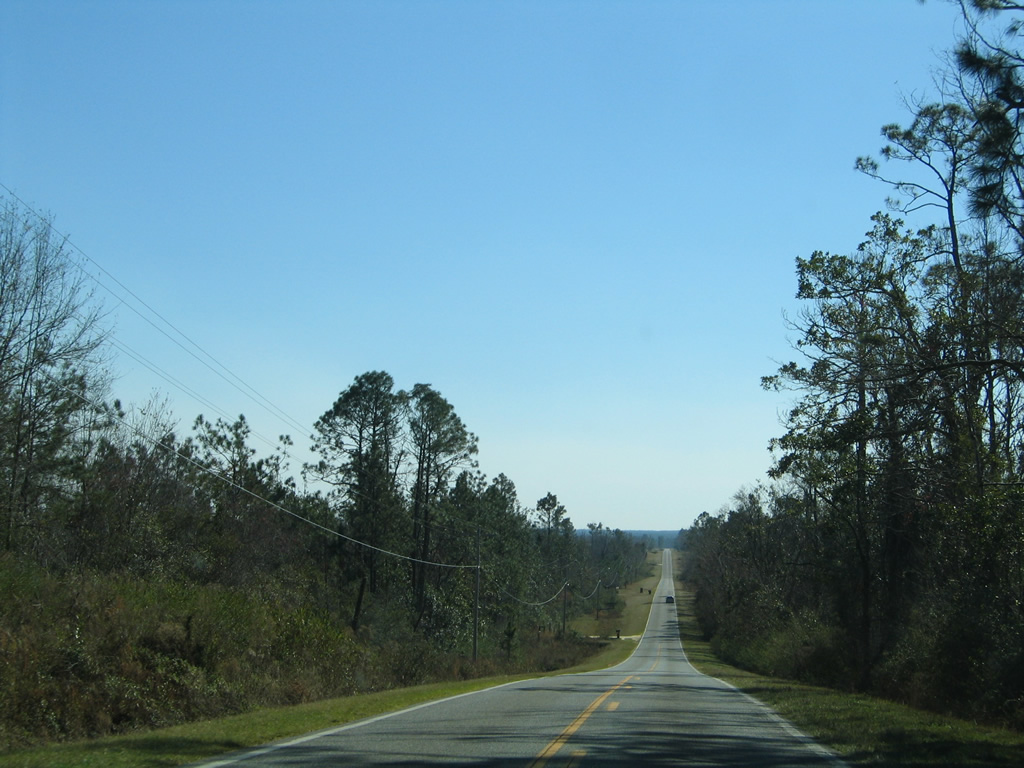
| Another 1.25 miles of County Road 99 remain between CR 182 and Barrineau Park. 07/24/11 |
|
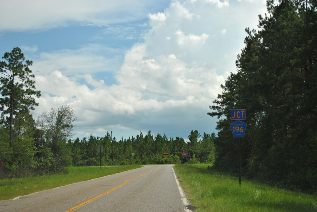
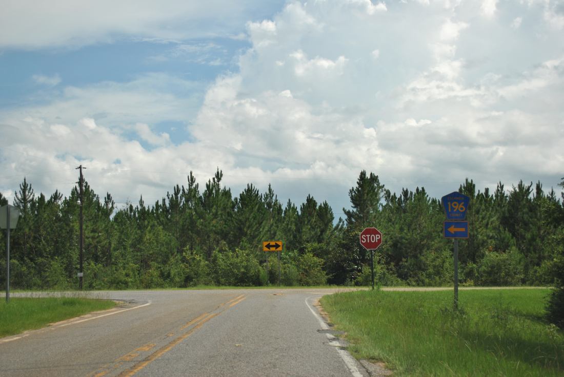
| County Road 99 ends at a T-intersection with County Road 196 (Barrineau Park Road), which leads east to CR 97 and U.S. 29. 07/24/11 |
|
| Barrineau Park Road continues west from the CR 99 and 196 exchange across the Perdido River to Baldwin County Road 112 (Old Pensacola Road) as Duck Place Road. The road was unpaved until 2011, when Baldwin County paved their 2.8 mile stretch. Escambia County acquired 2.73 acres of land from the Barrineau Estate, including the 0.4 mile stretch of roadway, so they could pave it starting in spring 2014.1 07/24/11 |
|
| Hurst Hammock Road winds northeast from Hurst Hammock on the Perdido River to Beulah Road and the northbound beginning of County Road 99. 02/01/06 |
|
| The first shield for Escambia County Road 99 appears after Beulah Road crosses U.S. 90 (Mobile Highway).
A series of traffic islands were added to CR 99 between U.S. 90 and U.S. 90 Alternate by 2006 to slow traffic. The traffic calming devices were later removed during a repaving project completed by 2012. 02/01/06 |
|
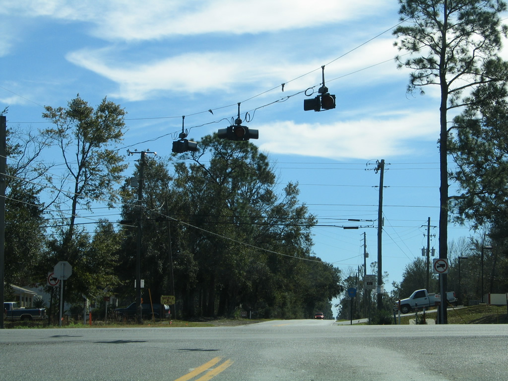
| Suburban growth in the Beulah area adds traffic to both U.S. 90 Alternate (Nine Mile Road) and County Road 99 (Beulah Road). Thus the stop sign at Nine Mile Road was upgraded to a full traffic light in November 2008. 02/10/06 |
|
| Beulah Road north at Frank Reeder Road (former County Road 99 west). A reassurance marker followed Frank Reeder Road as a leftover from when it was in the county road system. It was removed after 2006. 02/10/06 |
|
| North from the Beulah area, County Road 99 bends westward to span Interstate 10 ahead of the Perdido Landfill. 12/20/03 |
|
| Beulah Road begins and travels south from County Road 184 at the settlement of Muscogee near the Alabama state line. 02/01/06 |
|
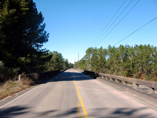
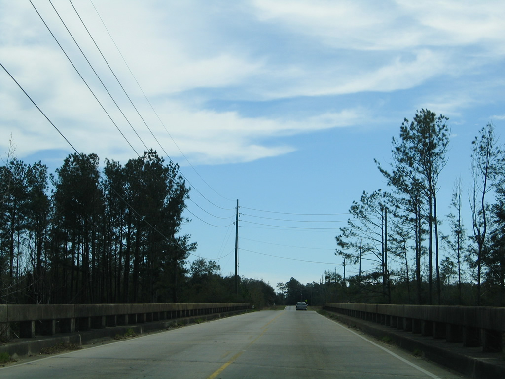
| Spanning Interstate 10 along CR 99 (Beulah Road) south of the Perdido Landfill. CR 99 crosses I-10 at the first overpass along 362 mile drive across Florida. 02/01/06 |
|
| One mile south of Frank Reeder Road (former CR 99), Beulah Road crosses U.S. 90 Alternate (Nine Mile Road). The flasher here was upgraded to a traffic light in November 2008. 02/01/06 |
|
| Beulah Road continues another 1.2 miles from Nine Mile Road to U.S. 90 (Mobile Highway). The last shield for CR 99 lines this stretch. 02/01/06 |
|
| Hurst Hammock Road extends south from Beulah Road and the end of County Road 99 to Hurst Hammock on the Perdido River. 02/01/06 |
|
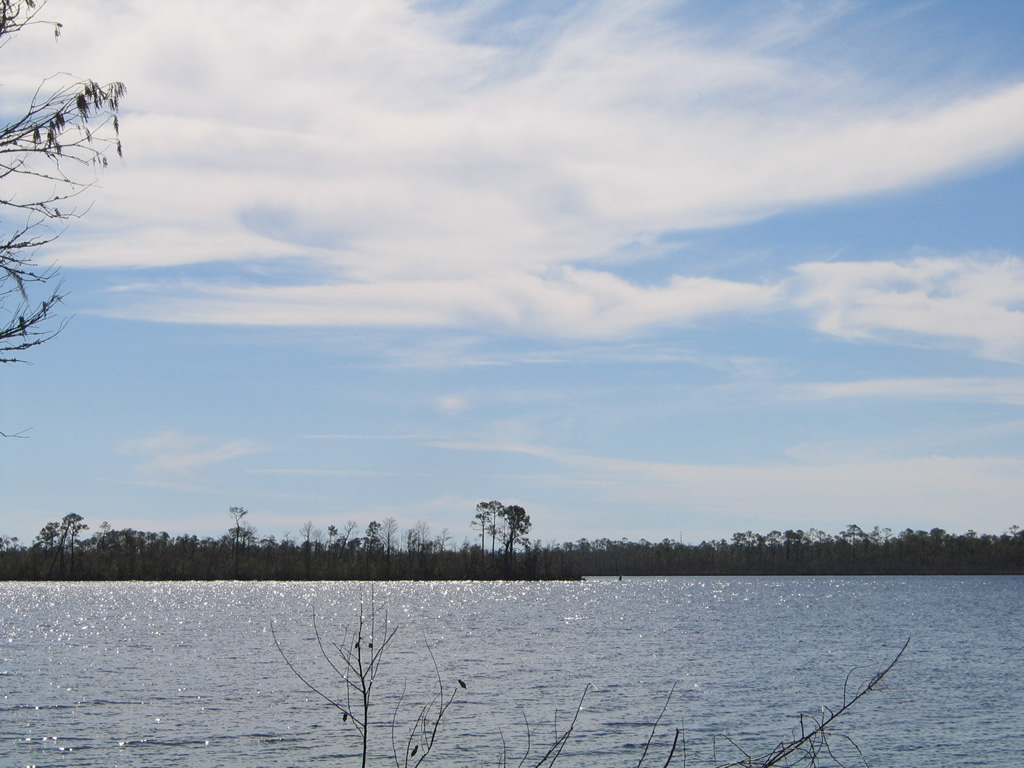
| The Perdido River widens into Perdido Bay to the east of Hurst Hammock and Caney Bayou in Baldwin County, Alabama. 02/01/06 |
|
| Frank Reeder Road represents a former two mile long branch of CR 99, between Twilley Road and the CR 99 mainline along Beulah Road. A CR 99 shield assembly still directs motorists onto Beulah Road from Frank Reeder Road east. 02/01/06 |
Sources:
- "Project Underway To Pave Barrineau Park Road Into Alabama." NorthEscambia.com. November 15, 2013.
12/20/03, 02/01/06, 02/07/06, 02/08/06, 02/10/06, 07/24/11 by AARoads
Connect with:
U.S. 90
U.S. 90 Alternate
State Road 97
County Road 4
Escambia County Road 99A
County Road 164
County Road 182
County Road 184
Page Updated 05-12-2020.

 North - North Section