|
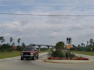
| Looking northward at the Foley Bridge Express beginning from SR 182 (Canal Road) in Orange Beach. A two lane divided parkway connects Canal Road with the two lane toll bridge across Portage Creek. Since this photo was taken, turn lanes on each side of the roadway connect with the mixed-use development The Wharf. 05/16/04 |
|
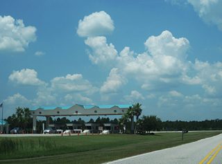
| The Foley Beach Express toll plaza follows the Intracoastal Waterway span to the north. CR 4 (Brown Lane) encircles the plaza to end on the northbound side of the divided highway. County Road 4 travels west to Craft Farms, Gulf Shores, and Plash Island. 07/31/10 |
|
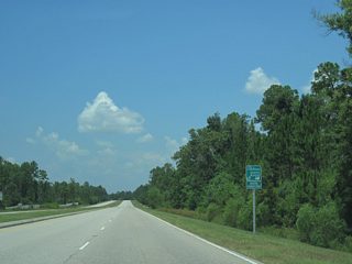
| Designated in 2010, the Alabama Scenic Highway Coastal Connection follows the Foley Beach Express between SR 180 (Canal Road) and CR 20 (Miflin Road) east as part of a 130 mile route encircling the Mobile Bay area. 07/31/10 |
|
| Approaching the at-grade intersection with Roscoe Road, a local north-south road between the outskirts of Gulf Shores and Foley. 08/01/06 |
|
| Six crossovers (three per direction) join the north and southbound sides of the Foley Beach Express where the highway expands to include a large grassy median. These u-turn ramps provide local access to the opposite roadway. The next such crossover, allows northbound drivers access to CR 8 west. 08/01/06 |
|
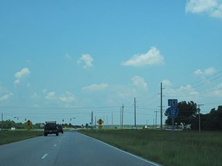
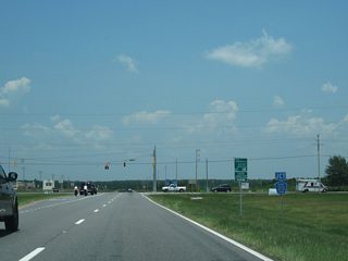
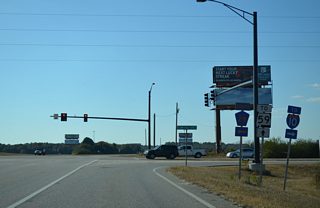
| Nearing CR 12 South on the Foley Beach Express northbound through east Foley. CR 12 travels through a hodgepodge of agricultural land and increasing suburban development between Foley and the highway east end. 07/31/10 |
|
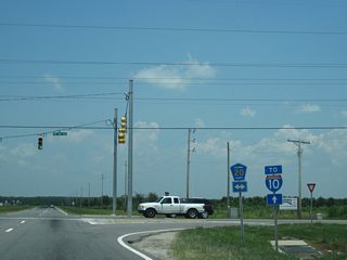
| An Interstate 10 trailblazer joins the CR 12 shield assembly ahead of the signalized intersection with the east-west county road. CR 12 travels west to CR 26 southwest of Magnolia Springs and east to an end at the 2006-constructed Preserve at Wolf Bay subdivision along Wolf Creek. 07/31/10 |
|
| Coastal Connection trailblazer posted on the Foley Beach Express northbound as it leaves CR 12. The four lane highway kinks northeast ahead of County Road 20 (Miflin Road). 07/31/10 |
|
| Next in line for northbound drivers is the signalized intersection with CR 20 (Miflin Road). County Road 20 travels a section line one mile north of County Road 12 South. Development of a retail site on the northwest side of the cross roads adds an at-grade connection to the Foley Beach Express. 07/31/10 |
|
| CR 20 (Miflin Road) joins Foley with the rural community of Miflin to the east before ending at CR 95 north of Josephine. Miflin Road carries the county road west to SR 59 near the Tanger Outlet Center. 07/31/10 |
|
| The Foley Beach Express turns west at Woerner Road for the final approach to SR 59. 11/21/14 |
|
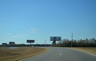
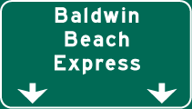
| CR 28 South ties into the approaching intersection with the Baldwin Beach Express north. Construction of the Baldwin Beach Express upgraded a half mile segment of CR 28 South leading north to CR 28 west in 2010. 11/21/14 |
|
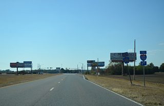
| A right turn continues drivers onto the Baldwin Beach Express north through the east side of Robertsdale to Interstate 10. County Road 28 South otherwise travels 1.50 miles to CR 14 (East Peachtree Street) in Foley. 11/21/14 |
|
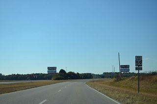
| A trailblazer for SR 59 stands along the Foley Beach Express north after the Baldwin Beach Express. An at-grade intersection follows with Juniper Street. 11/21/14 |
|
| Traveling west on the final stretch of the Foley Beach Express, drivers intersect CR 73 and then SR 59 in quick succession. County Road 73 begins nearby and heads north to County Road 48 South near Robertsdale. 08/02/06 |
|
| As the Foley Beach Express ends, motorists may turn northward onto SR 59 to Summerdale and Loxley or return south to Downtown Foley. 03/08/09 |
Page Updated 12-03-2014.
