|
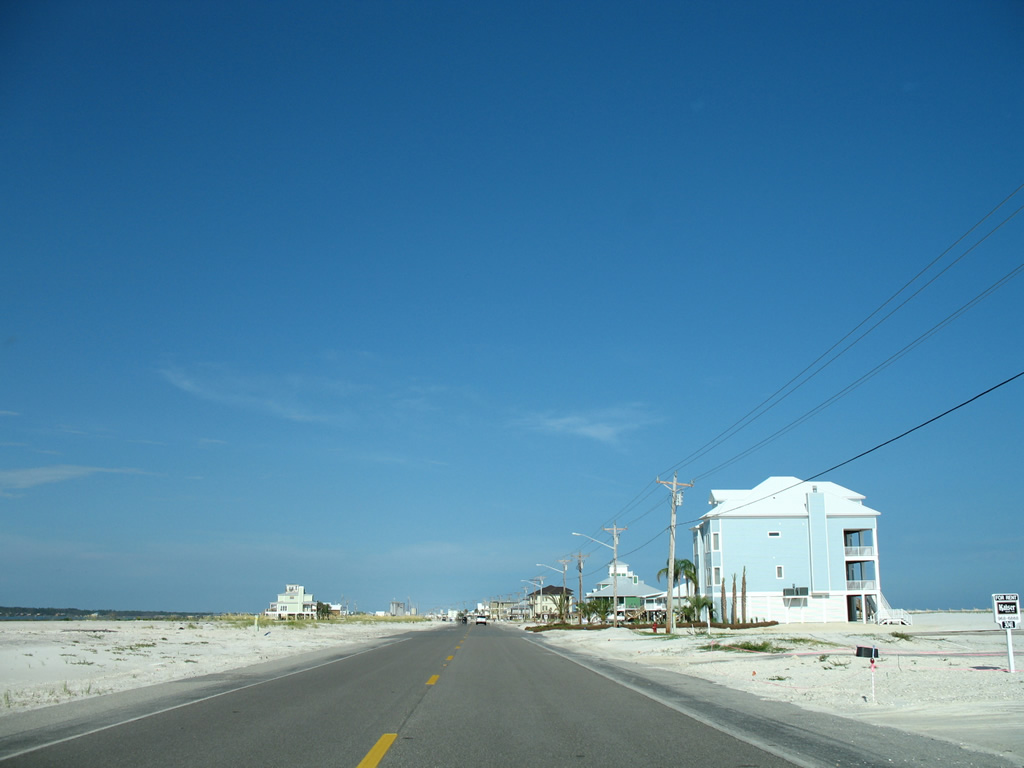
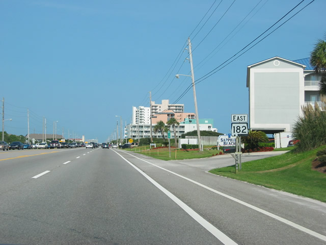
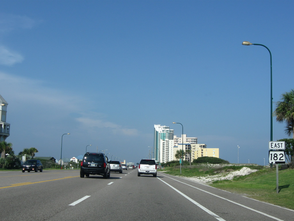
| SR 182 (Beach Boulevard) commences eastward from the gated Laguna Key community at Pine Beach. 08/01/06 |
|
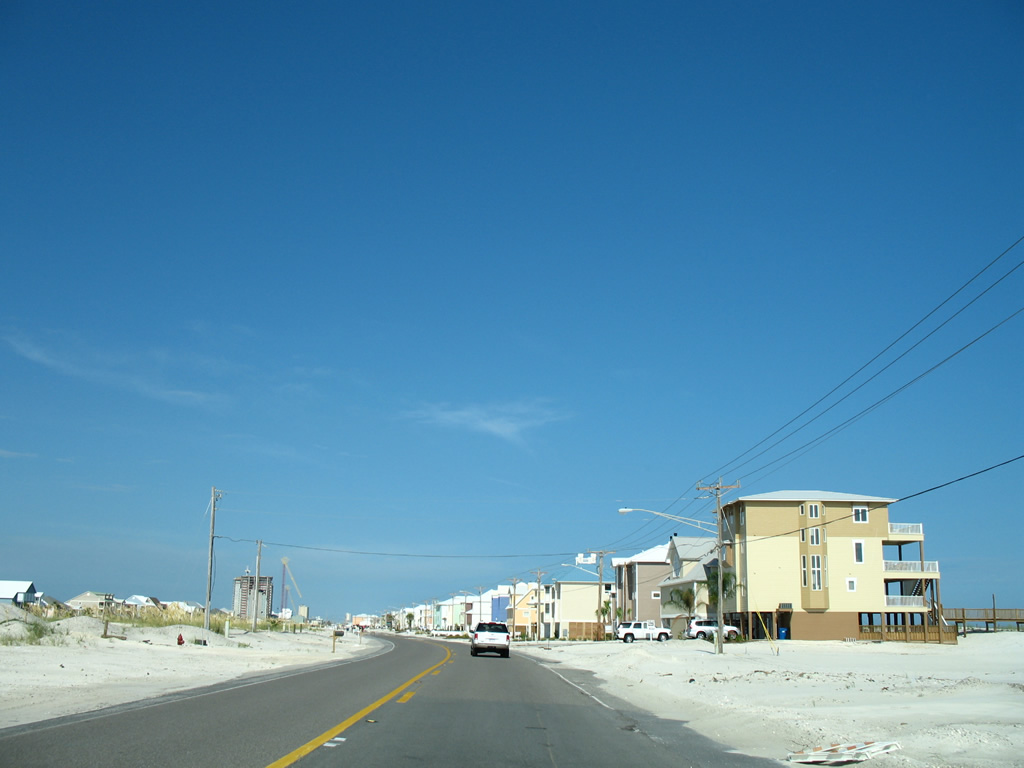
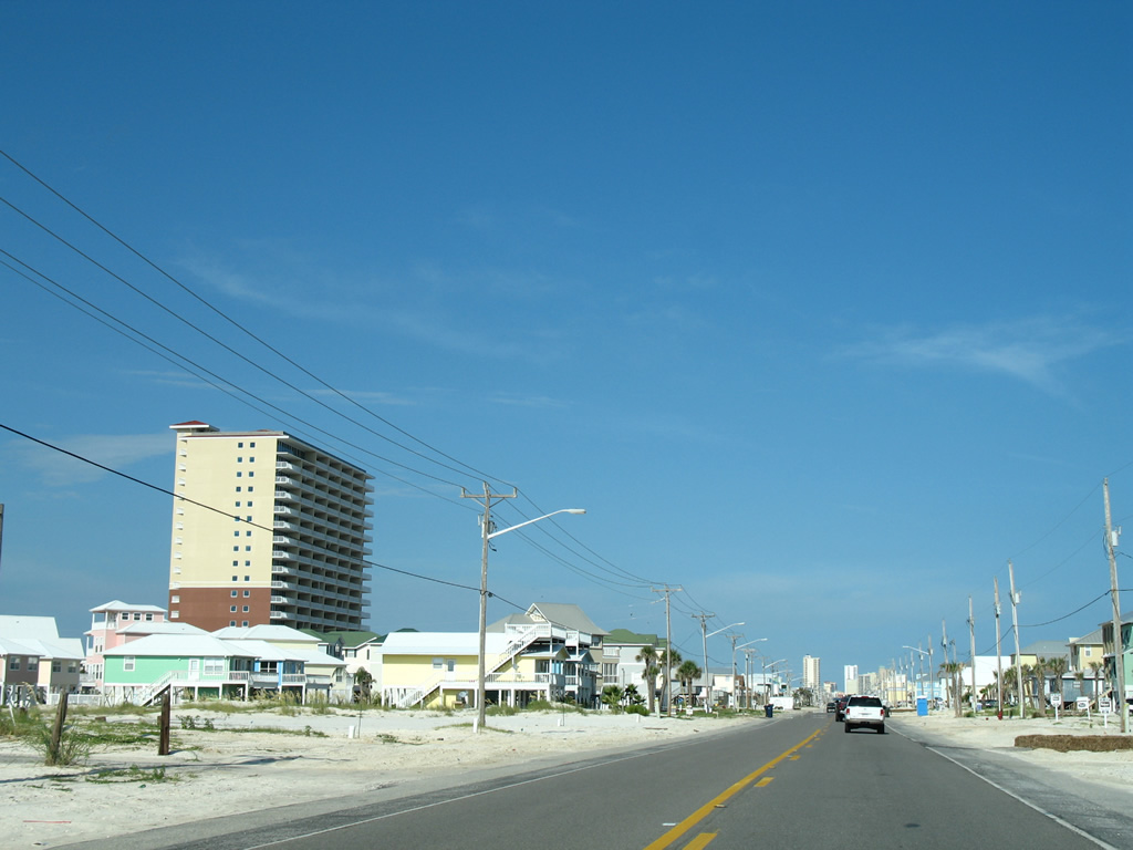
| A slight kink to SR 182 east on the drive between Little Lagoon and the Gulf of Mexico. Beach homes on the north side give way to condominium high rises on the approach to Little Lagoon Pass. 08/01/06 |
|
| Spanning Little Lagoon Pass along SR 182 (Beach Boulevard) eastbound. The two lane bridge was built in 1969. 08/01/06 |
|
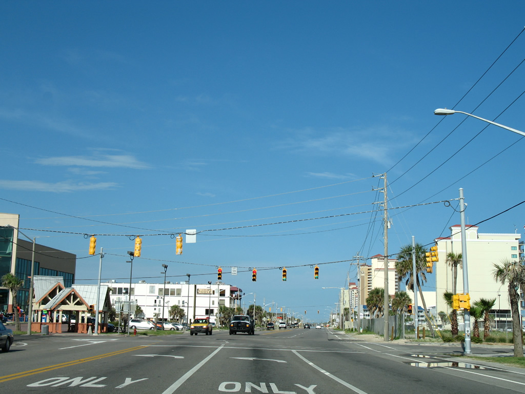
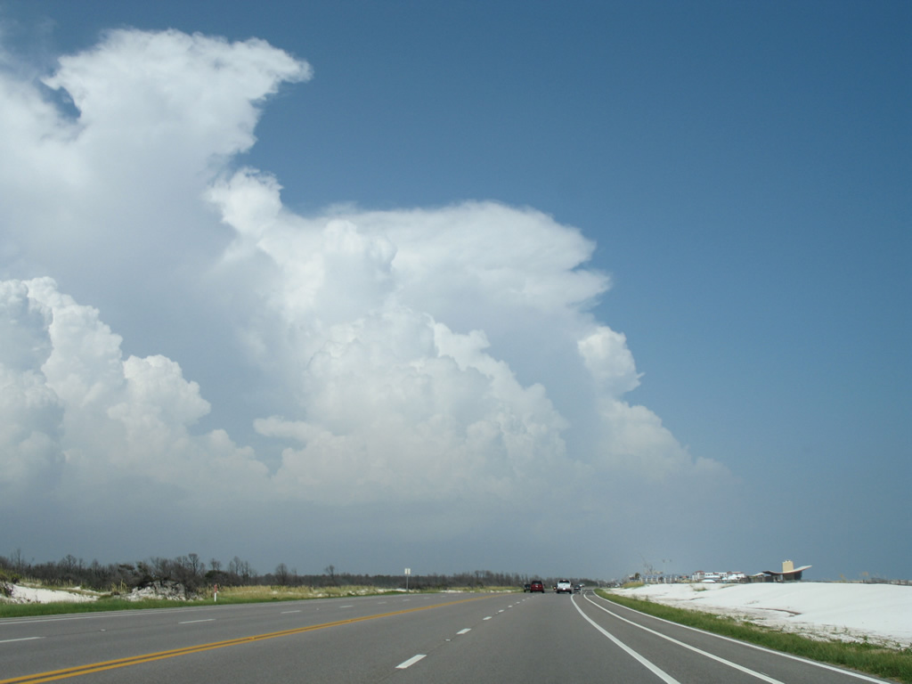
| Continuing east from Little Lagoon Pass on SR 182 (W Beach Boulevard) east. 08/01/06 |
|
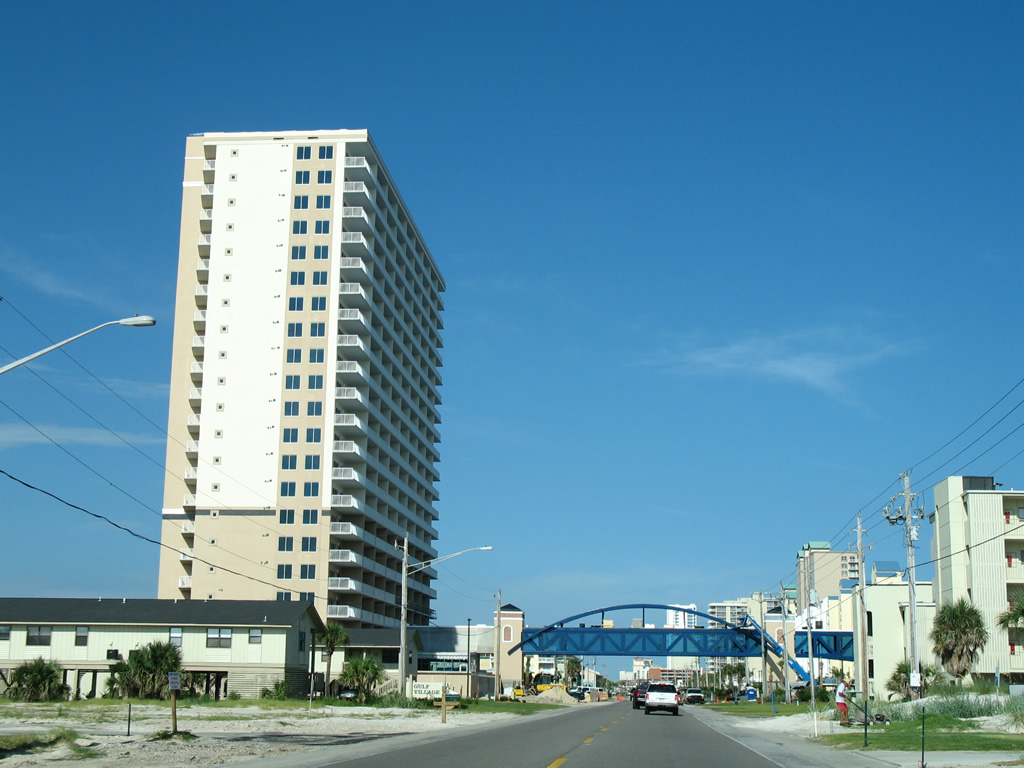
| A pedestrian bridge was constructed in 2006 over SR 182 between two condominium complexes. 08/01/06 |
|
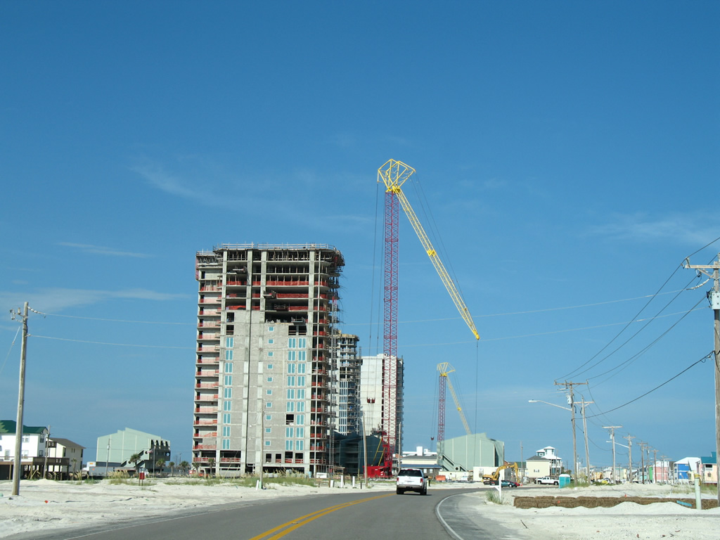
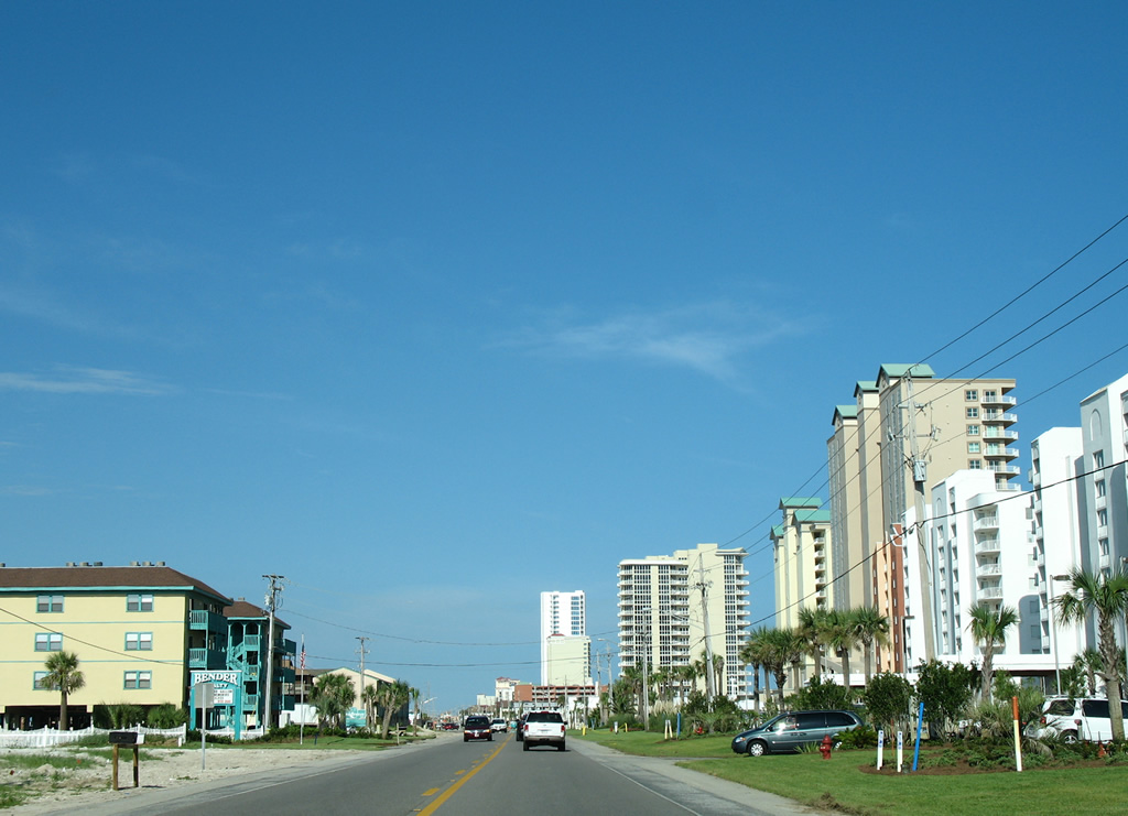
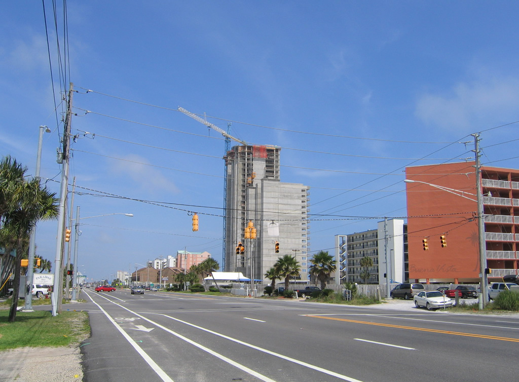
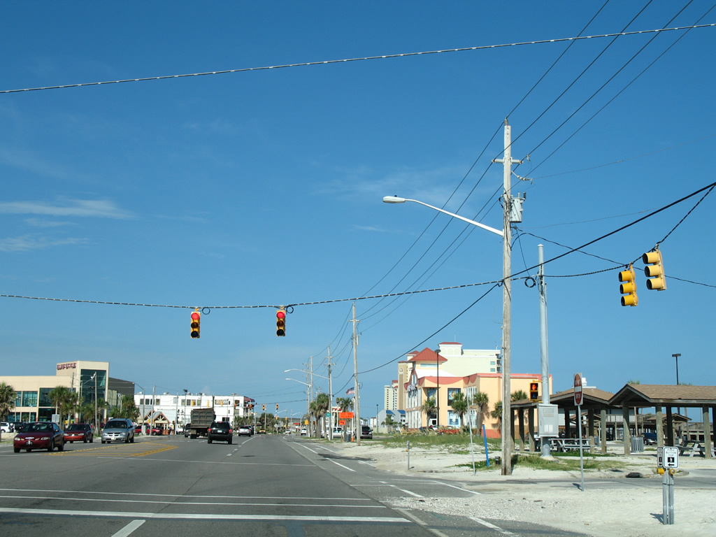
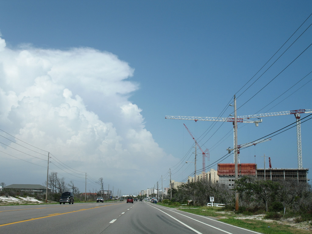
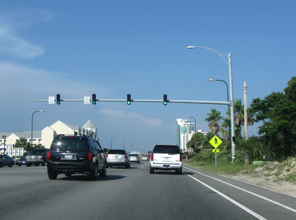
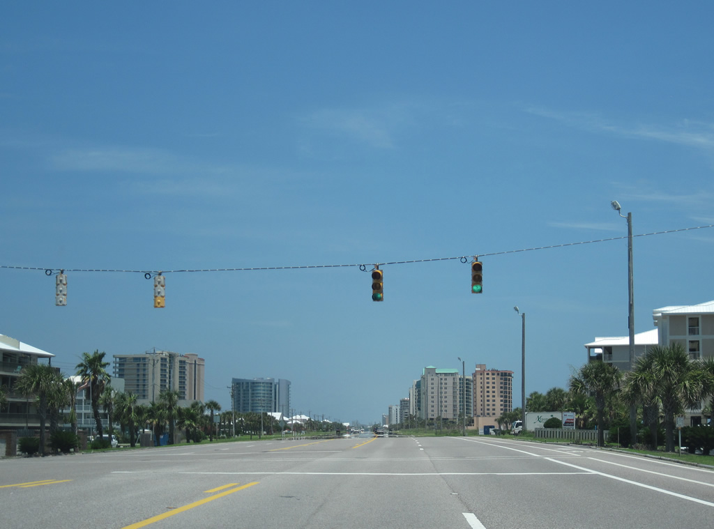
| SR 182 (W Beach Boulevard) widens from two to five lanes ahead of Lagoon Avenue. 08/01/06 |
|
| W 6th Street stems north from W Beach Boulevard at this signalized intersection to Windmill Ridge Road and SR 59. 05/16/04 |
|
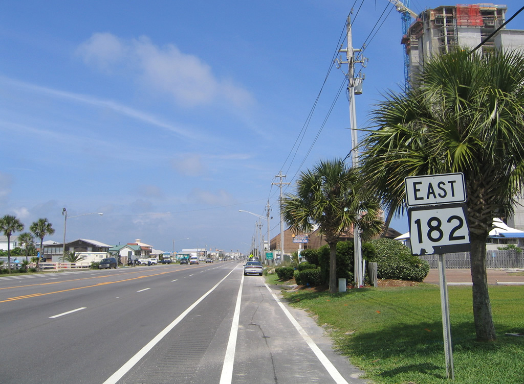
| The first eastbound reassurance shield for SR 182 stands beyond the W Beach Boulevard intersection with W 6th Street. 05/16/04 |
|
| A pedestrian signal follows eastbound at W 4th Street. Vehicular traffic can use W 4th Street north to Windmill Ridge Road. 05/16/04 |
|
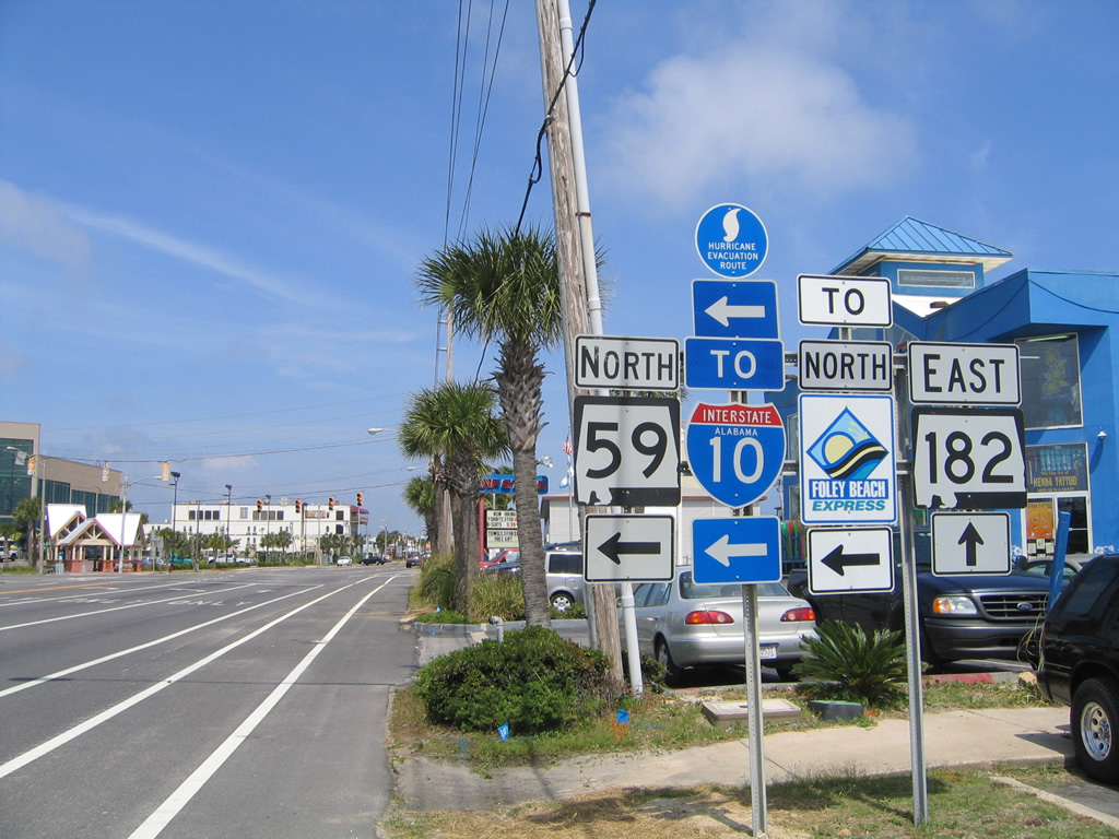
| SR 59 shield that was posted at the signalized intersection with W 1st Street. 05/16/04 |
|
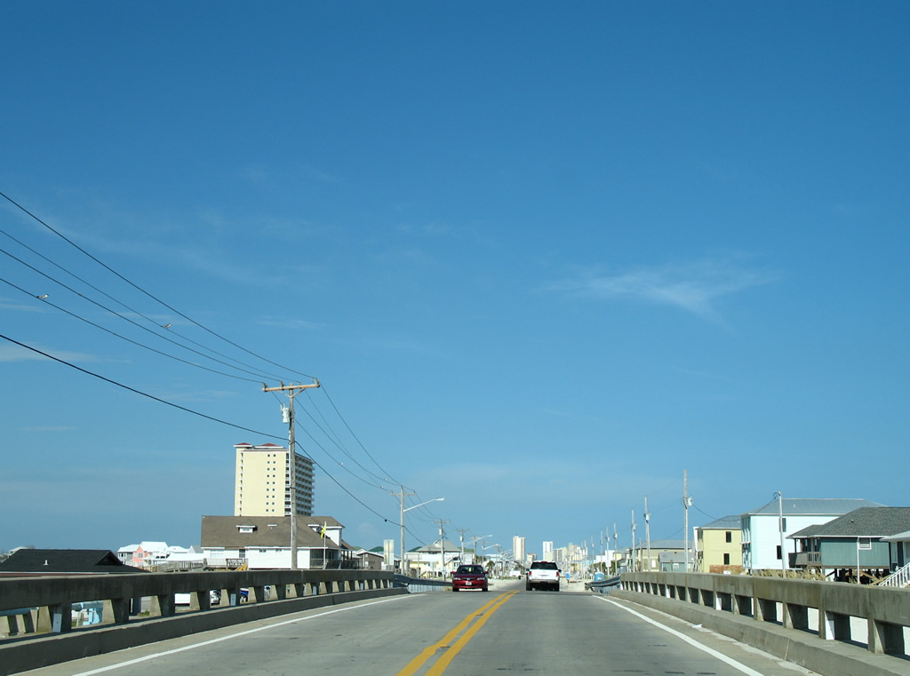
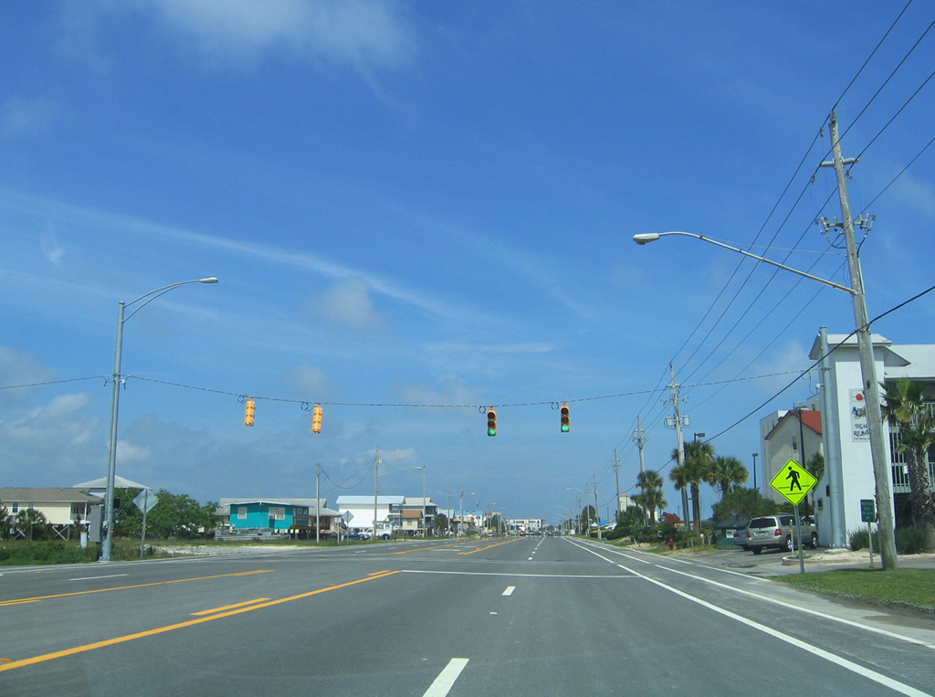
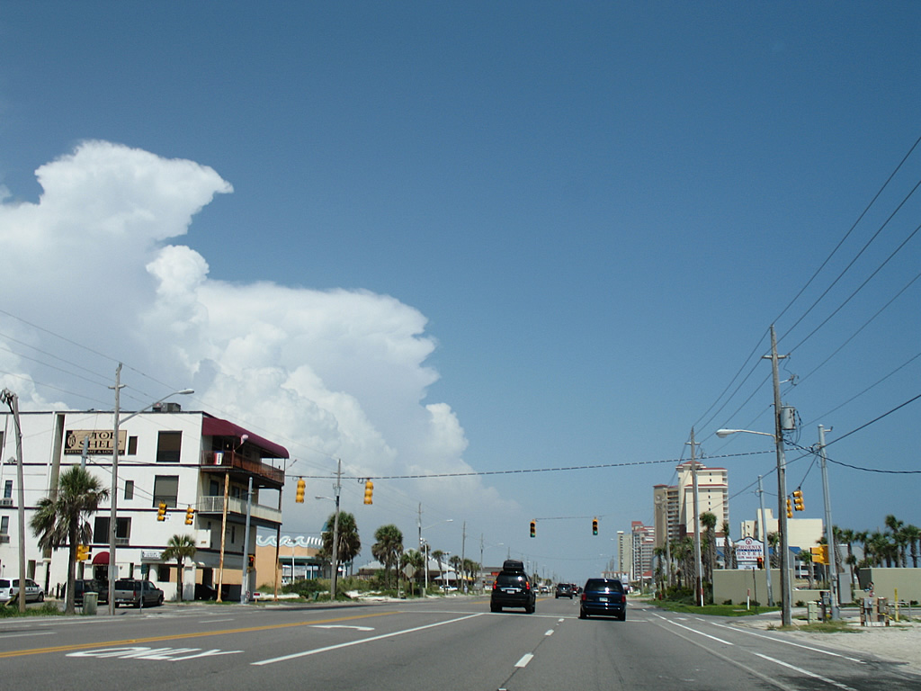
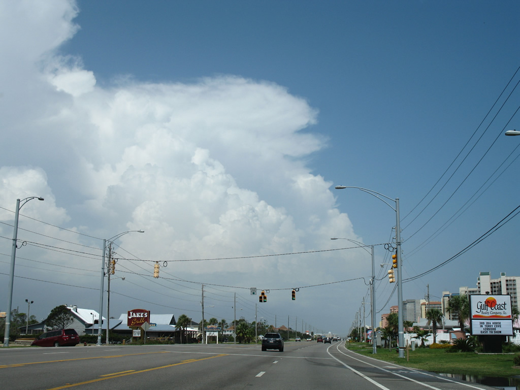
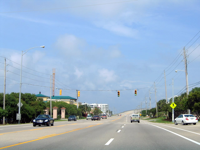
| SR 182 (W Beach Boulevard) east at W 1st Street and the main public beach area for Gulf Shores. W 1st Street heads two blocks north and one block south to Gulf Place. 08/01/06 |
|
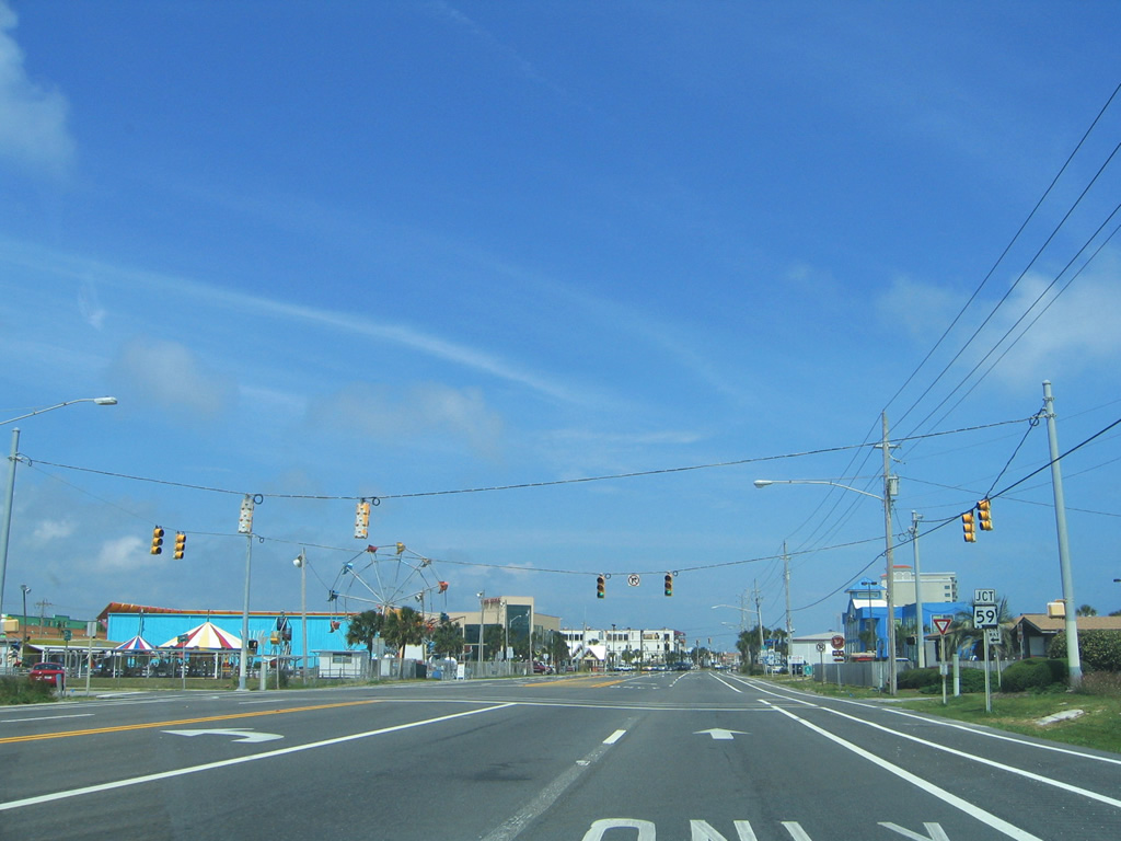
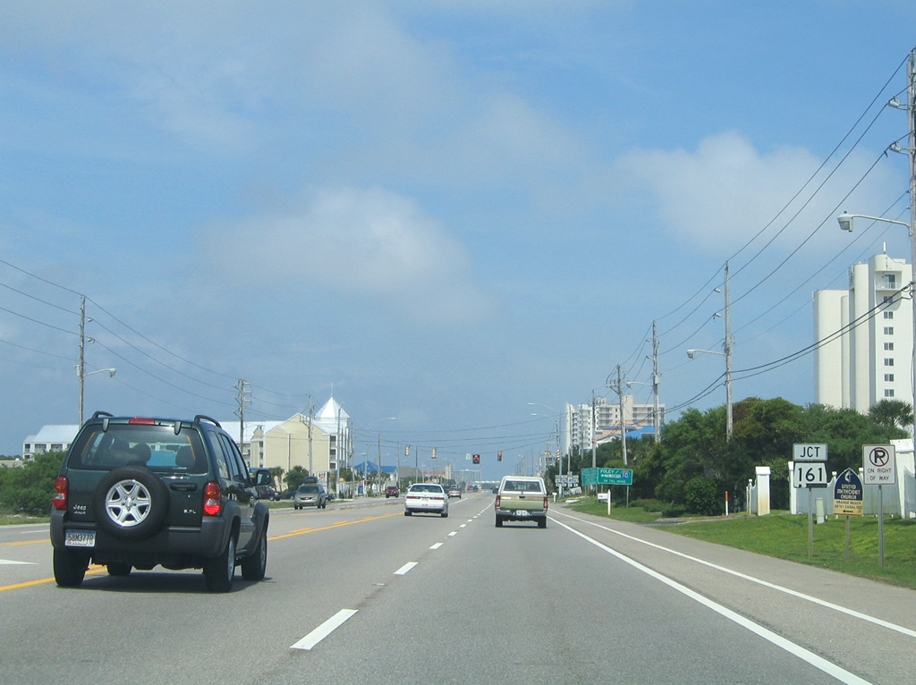
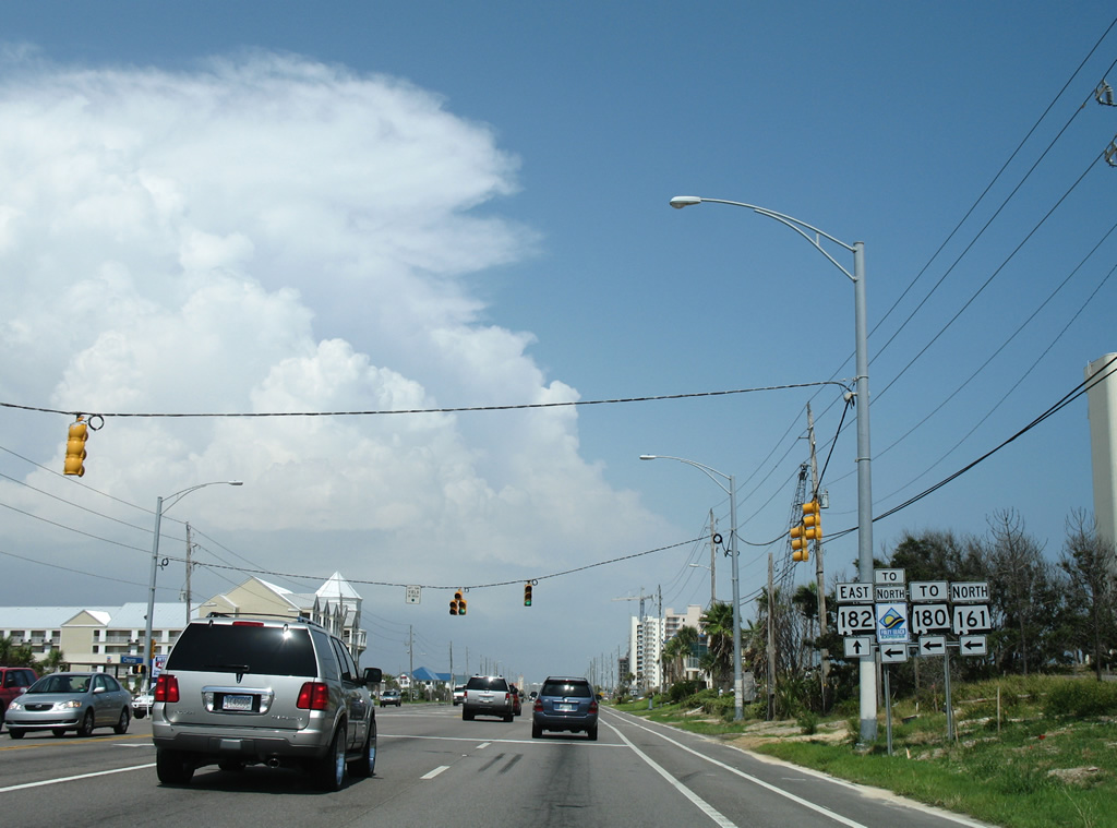
| SR 59 (Gulf Shores Parkway) not only comprises the main commercial strip north through Gulf Shores, but also one of only two crossings over the Intracoastal Waterway to the Baldwin County mainland (the Foley Beach Express constituting the other crossing). SR 59 extends north to I-10 at Loxley.
Both the junction and assembly posted at SR 59 on SR 182 east were not replaced after Hurricane Ivan. 05/16/04, 08/01/06 |
|
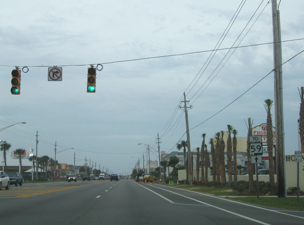
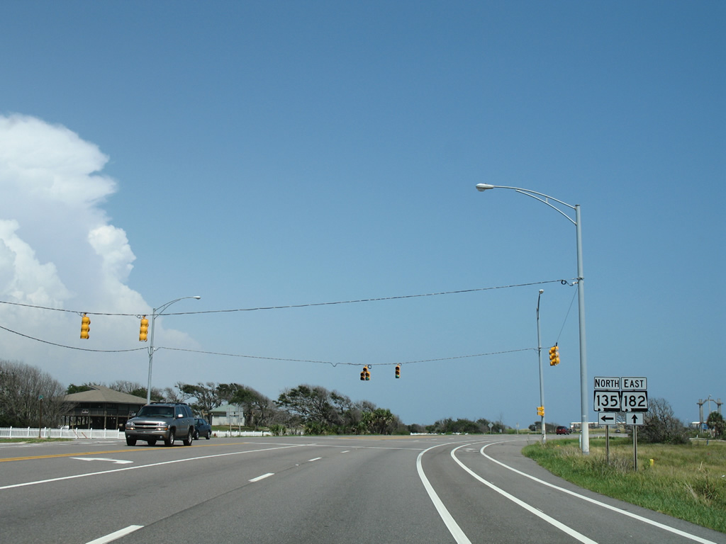
| Gulf Place wraps around south of SR 182 by the public beach and returns to East Beach Boulevard as East 1st Street. East 1st Street continues two blocks north to East 2nd Avenue adjacent to SR 59. An SR 59 trailblazer posted in 2004 directed travelers eastward to SR 135. 05/15/04, 08/02/06 |
|
| SR 180 (E Beach Boulevard) leaves Gulf Shores east for Gulf State Park ahead of Park Road (former SR 135) north. 08/02/06 |
|
| SR 135 was a 2.1 mile long route around Shelby Lakes, joining SR 182 with SR 180 at its turn from Fort Morgan Road onto E 2nd Street. Park Road provides an alternate route to SR 59 and the Foley Beach Express via SR 180. Mast arm signal assemblies replaced the span wire here by 2010. 08/02/06 |
|
| Continuing east along SR 182 (E Beach Boulevard) after Park Road. The former Gulf State Park Hotel complex nearby was razed and replaced with the Gulf State Park Pier and pavilion. 08/02/06 |
|
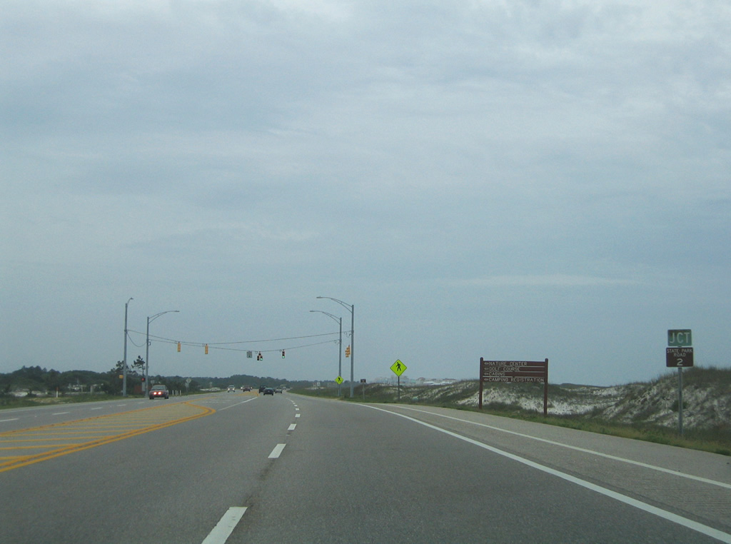
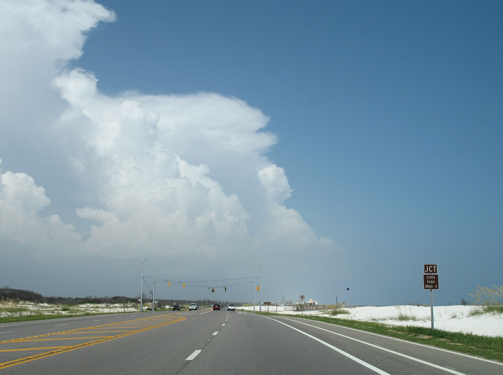
| Closed permanently as a through road on April 18, 2016, State Park Road 2 looped east of Shelby Lakes between SR 182 (E Beach Boulevard) and Park Road (old SR 135) through Gulf State Park. The route served the nature center, golf course and campground areas of the state park. 05/15/04 |
|
| Unique trailblazers were posted for Park Road 2. This route was sometimes classified as County Road 2 on maps. 08/02/06 |
|
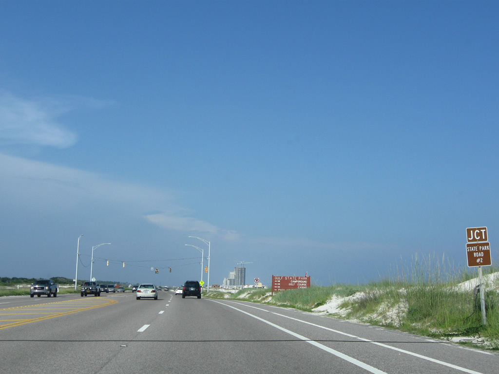
| A subsequent sign replacement made for Park Road 2 on SR 182. The southern portion of the route was retained for access to the park campground, while a 1.5 mile section leading north was repurposed as a pedestrian and bike path. 06/13/10 |
|
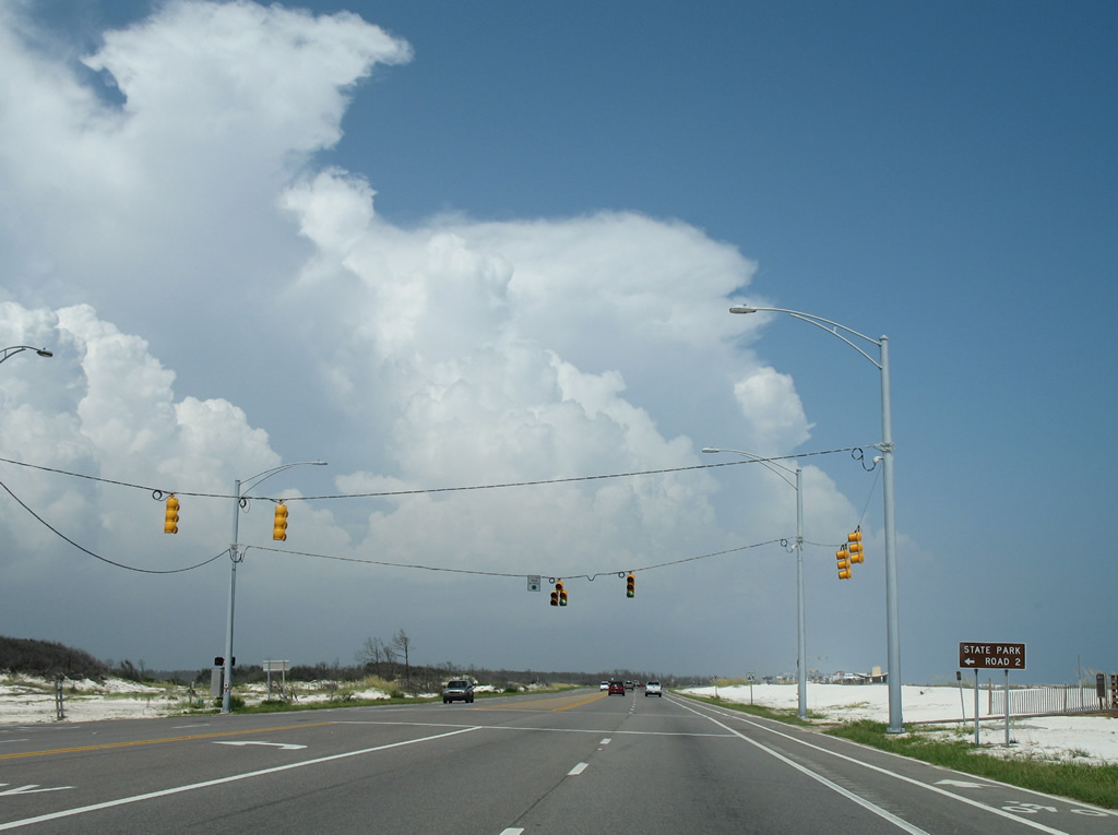
| Park Road 2 south intersected SR 182 (E Beach Boulevard) at this traffic light. 08/02/06 |
|
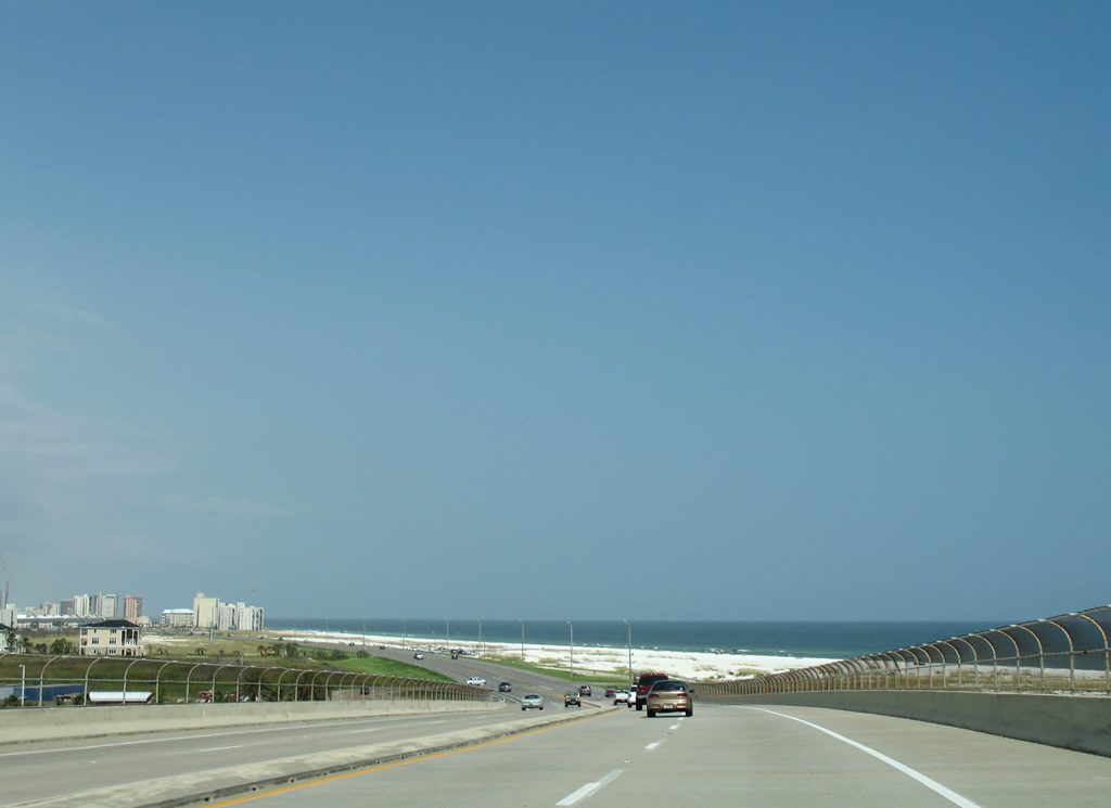
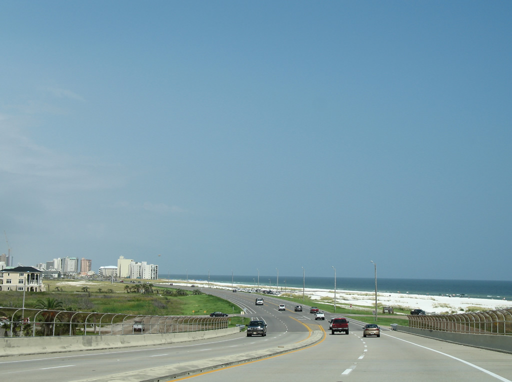
| Two miles of unspoiled beach frontage line the sides of SR 182 through Gulf State Park. 08/02/06 |
|
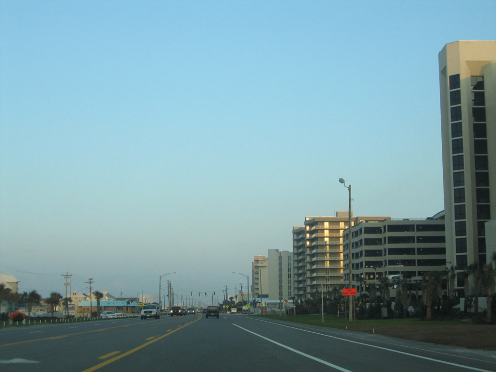
| SR 182 (Perdido Beach Boulevard) enters the city of Orange Beach and dense development ensues. 08/02/06 |
|
| Eastbound Perdido Beach Boulevard at the signalized entrance to Adventure Island, a small summertime amusement park, in Orange Beach. 08/02/06 |
|
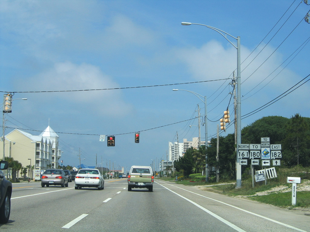
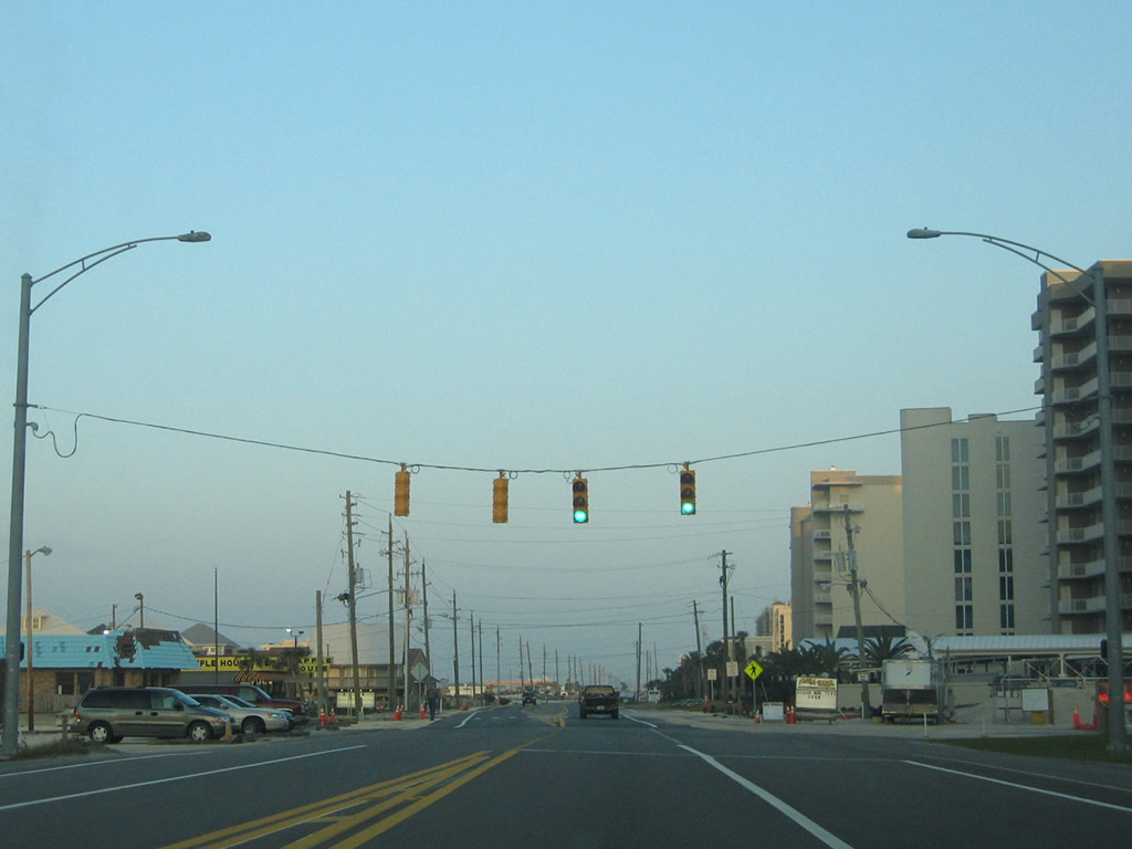
| Progressing east toward the intersection with Orange Beach Boulevard, a guide sign references the SR 161 connection with SR 180 west to the Foley Beach Express. A traffic light was added by 2010 for the Shoppes at Paradise Pointe retail center, located within the northwest quadrant of SR 161/182. 06/13/10 |
|
| SR 161 constitutes a 1.7 mile long link following Orange Beach Boulevard between SR 182 (Perdido Beach Boulevard) and SR 180 (Canal Road). This SR 161 shield was gone by 2006 and the whole assembly removed by 2010. 05/16/04 |
|
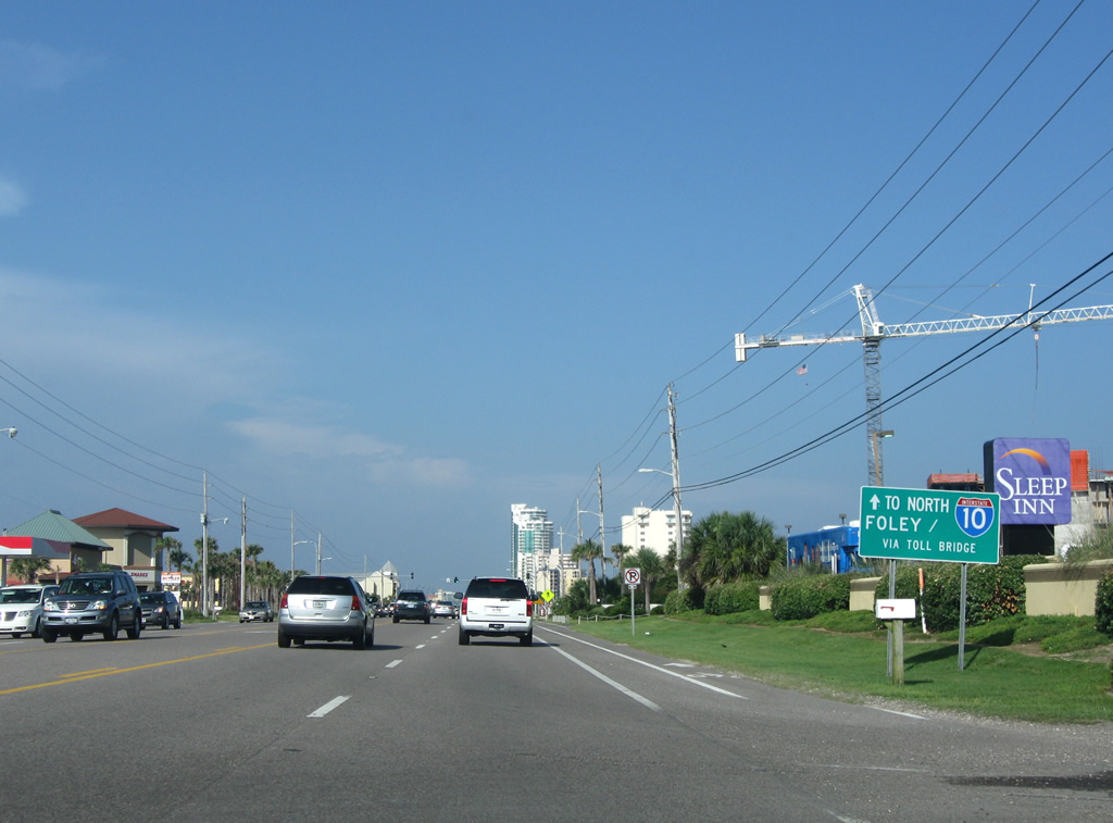
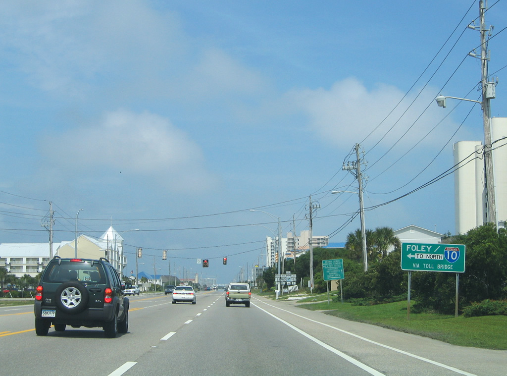
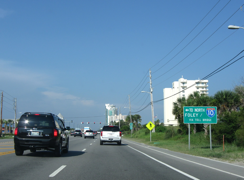
| The Foley Beach Express links SR 180 in Orange Beach with SR 59 near Summerdale via a two lane toll bridge and four lane expressway. Construction started in 2009 extended the four lane road northward as the Baldwin Beach Express to I-10 at east Loxley. 05/16/04 |
|
| The Foley Beach Express sign on SR 182 was replaced by 2006. Traffic lights at the south end of SR 161 (Orange Beach Boulevard) were replaced with mast arm assemblies by 2009. 06/13/10 |
|
| SR 182 east at SR 161 (Orange Beach Boulevard) northbound. Orange Beach Boulevard comprises a five lane boulevard between Perdido Beach Boulevard and SR 180 (Canal Road). 05/16/04, 08/02/06 |
|
| Signal replacements made by 2009 changed left turns from SR 182 east to SR 161 from permissive to protected. 06/13/10 |
|
| Several changes occurred between 2003 and 2010 along SR 182 east of SR 161. Damage caused by Hurricane Ivan in 2004 wiped out several beach homes east of SR 161 on the south side of Perdido Beach Boulevard. 08/24/03 |
|
| Damaged structures along SR 182 were cleared by 2006 and by 2009, power lines along the arterial were buried and decorative street lighting was added to replace fixtures previously mounted to utility poles. 06/13/10 |
|
| A wall of condominiums line the south side of SR 182 (Perdido Beach Boulevard) leading east to Perdido Pass. A set of pedestrian signals operate on Perdido Beach Boulevard adjacent to several of the Phoenix condo towers. 08/24/03 |
|
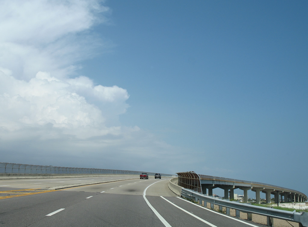
| Perdido Pass constitutes a navigable waterway between the Gulf of Mexico and Perdido Bay. A popular fishing spot, the pass is also home to sections of Gulf State Park, both at Alabama Point and Florida Point. Built in 1989, a five lane span with bike lanes and a pedestrian walkway carries SR 182 across the inlet. 08/02/06 |
|
| Beyond protected areas of Gulf State Park on Perdido Key, SR 182 (Perdido Beach Boulevard) enters development area. A pedestrian signal follows the intersection with the Ono Island Bridge between the Wind Drift condo complexes. 06/10/10 |
|
| SR 182 reduces from five to two overall lanes just ahead of the Florida state line. Escambia County Road 292 continues the route east along Perdido Key Drive. 01/30/06 |
|
| SR 182 east crosses into the state of Florida at a pedestrian signal adjacent to the Florabama. CR 292 joins Perdido Key with Warrington and Pensacola. 01/30/06 |
Page Updated 02-19-2011.


 East
East