Georgia State Route 40 travels 30.48 miles east from U.S. 1/23/301-SR 4/15 in Folkston to St. Marys in coastal Camden County. The highway provides part of a route from Interstate 95 and Kingsland to Naval Submarine Base Kings Bay.
Paralleling the St. Marys River and Florida state line, SR 40 traverses timberland and wetland areas east from Charlton County to the city of Kingsland. Heading southeast into the city of St. Marys, SR 40 runs alongside the St. Marys Railroad through the exchange with I-95. The route concludes at the intersection of Osborne and Church Street, 0.61 miles from the St. Marys River.
|
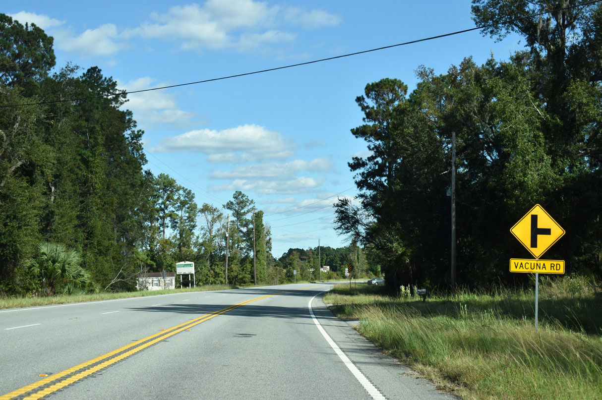
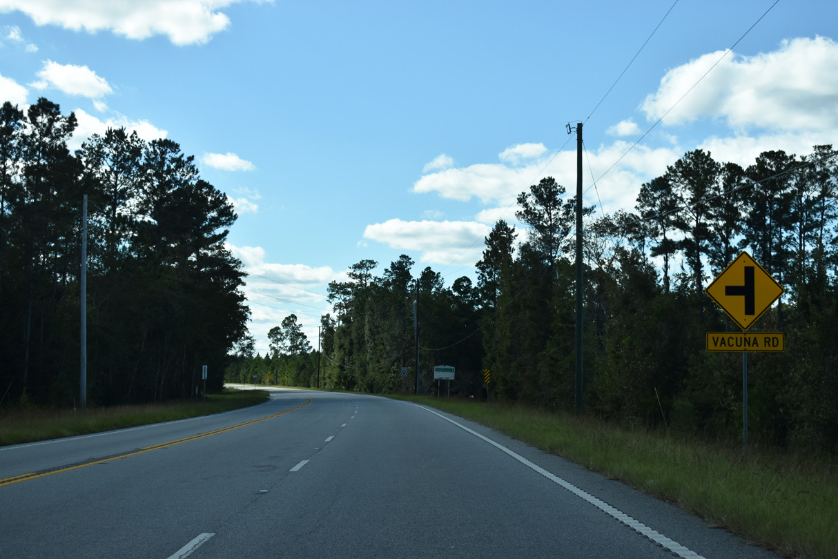
| Vacuna Road angles southeast 4.8 miles from SR 40 to U.S. 17/SR 25 in southern reaches of Kingsland. Colerain Road branches eastward beyond Vacuna Road to an interchange with I-95 opposite Laurel Island Parkway. 10/15/23 |
|
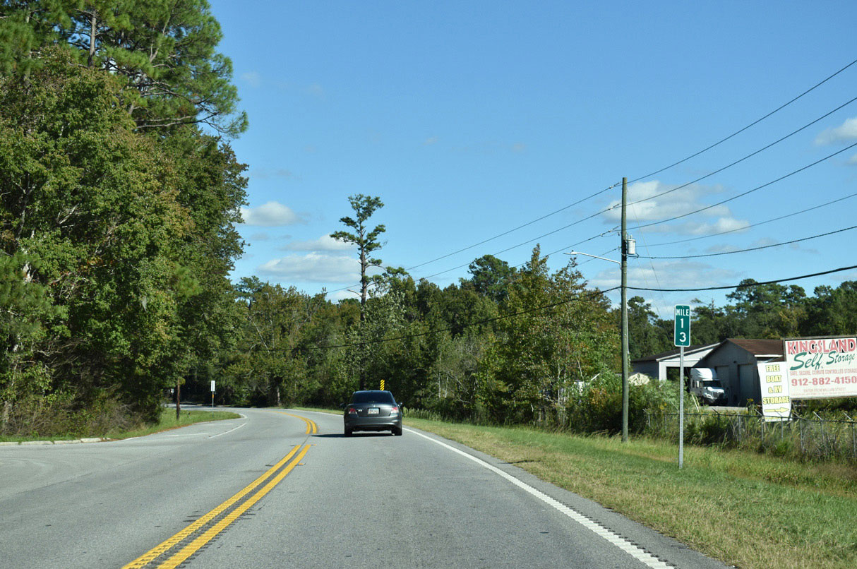
| Entering Kingsland, SR 40 east follows W King Avenue. 10/15/23 |
|
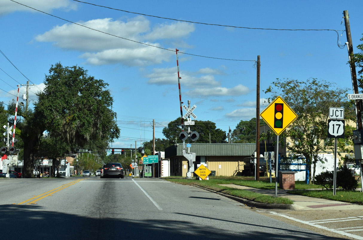
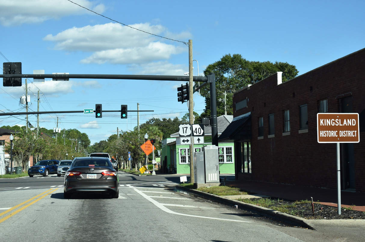
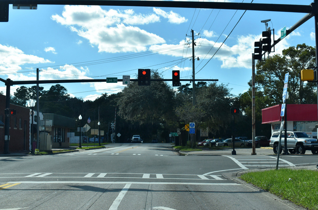
| U.S. 17 (Lee Street) parallels Interstate 95 north from Jacksonville, Florida into Georgia, meeting SR 40 (W King Avenue) in the center of Kingsland. SR 25 is the counterpart to U.S. 17 in the Peach State. 10/15/23 |
|
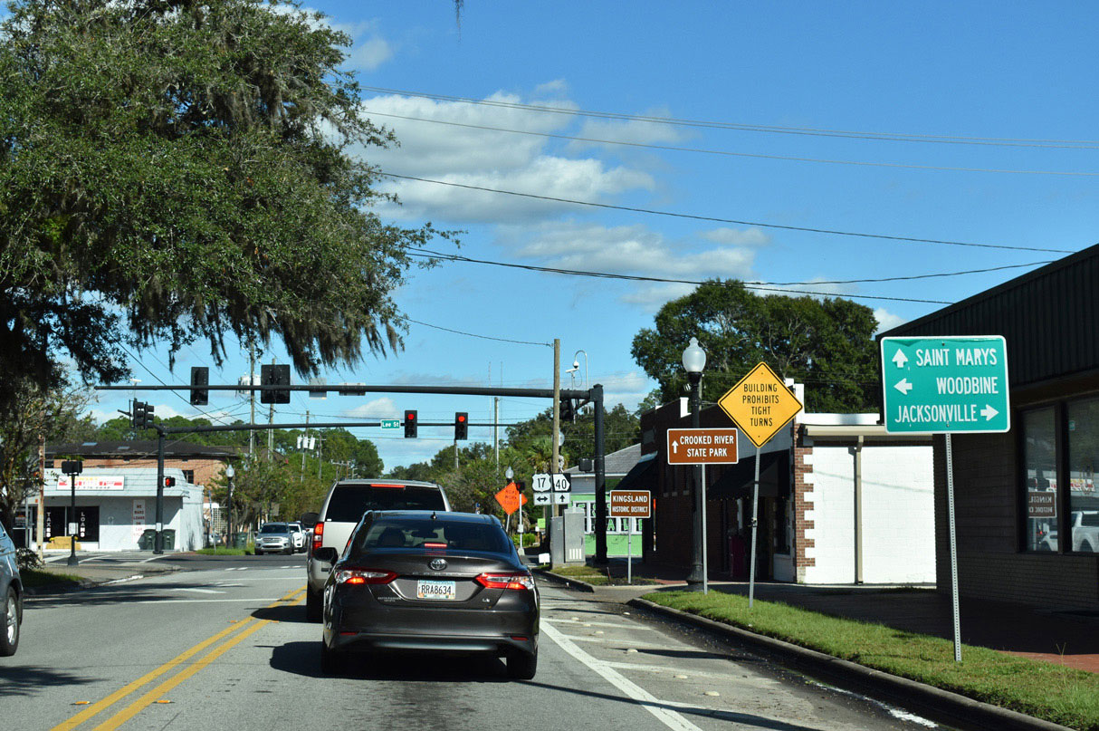
| U.S. 17/SR 25 overlays Lee Street within the Kingsland street grid while SR 40 continues along King Avenue eastward to Saint Marys. Crooked River State Park is located at the northern end of SR 40 Spur north of Kings Bay Naval Submarine base. 10/15/23 |
|
| The businesses along U.S. 17/SR 25 (S Lee Street) between SR 40 (King Avenue) and William Avenue to the south represent the historic district of Kingsland. The city was established in 1908. 10/15/23 |
|
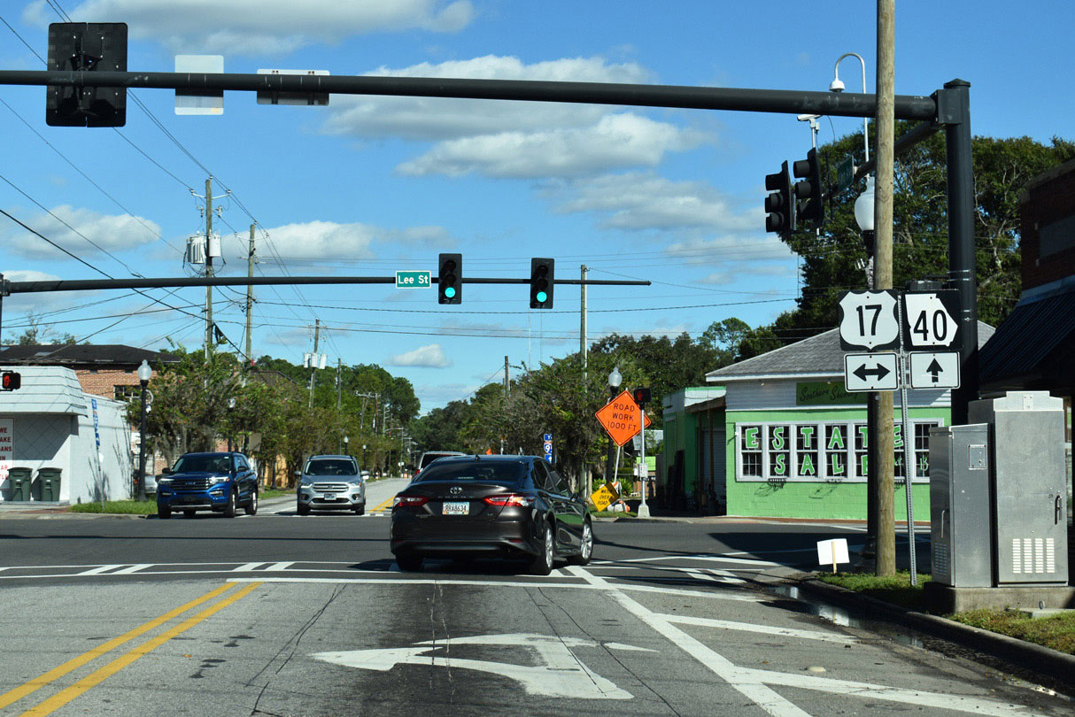
| U.S. 17/SR 25 continues north 11.5 miles from Kingsland to the Camden County seat of Woodbine near the Satilla River. SR 40 advances 1.9 miles east to Interstate 95. 10/15/23 |
|
| An I-95 trailblazer takes the place of a confirming marker for SR 40 (King Avenue) east of U.S. 17/SR 25 (Lee Street) in Kingsland. 03/10/22 |
|
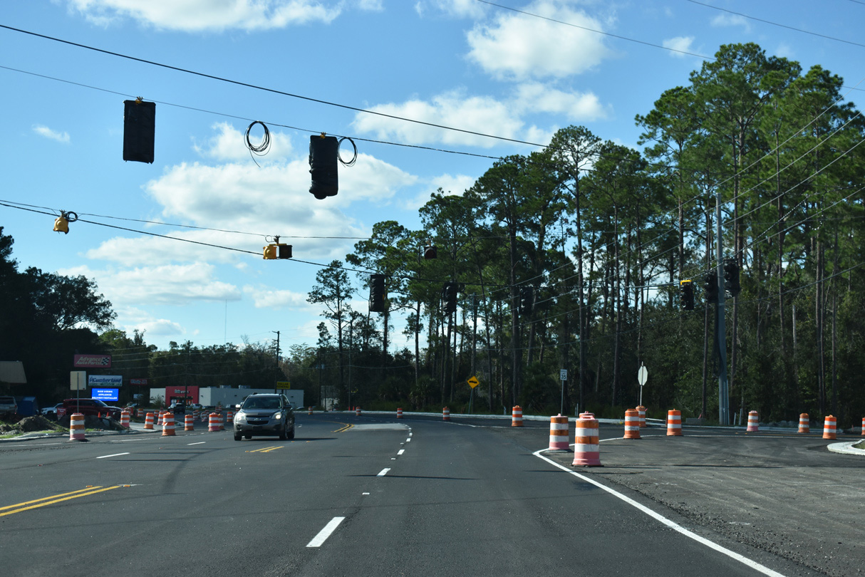
| SR 40 (King Avenue) curves southeast at Grove Boulevard. 03/10/22 |
|
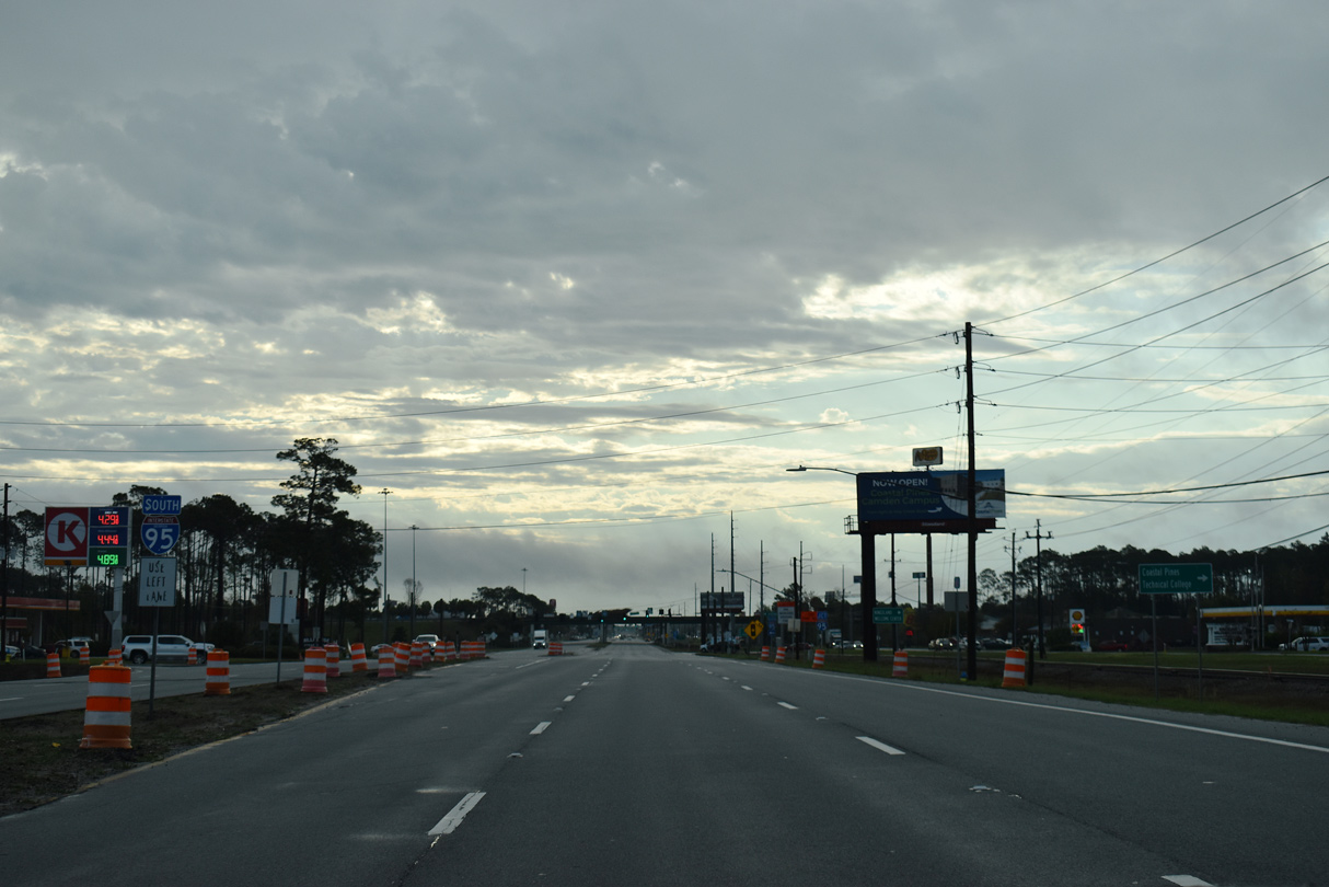
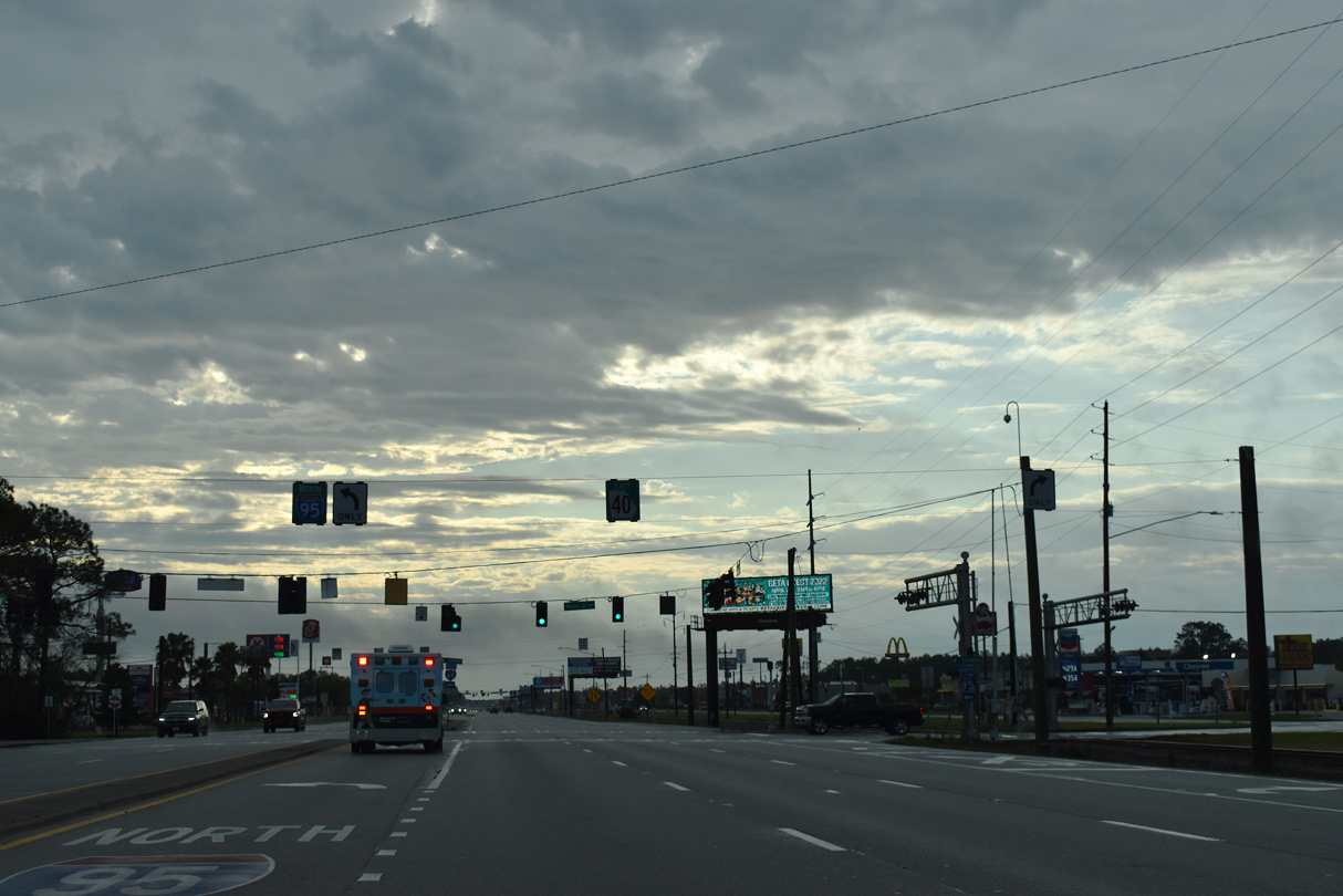
| SR 40 expands to a six lane commercial arterial leading into the folded diamond interchange with Interstate 95. 03/10/22 |
|
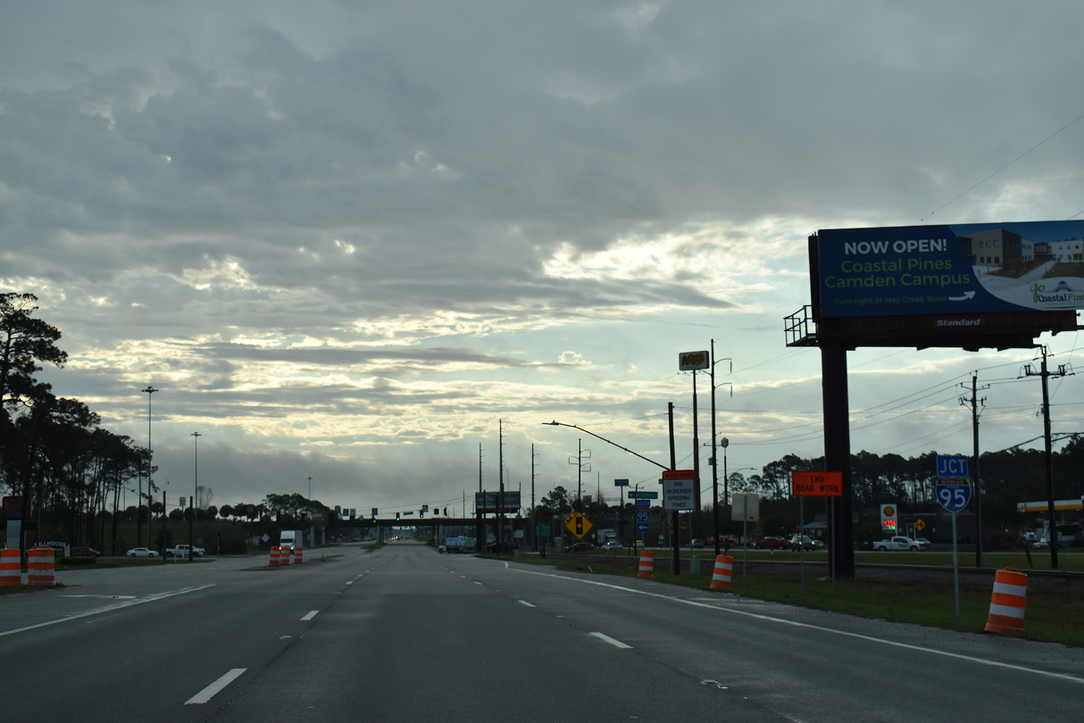
| The St. Marys Railroad parallels the eastbound roadway of SR 40 (King Avenue) through the exchange with I-95. 03/10/22 |
|
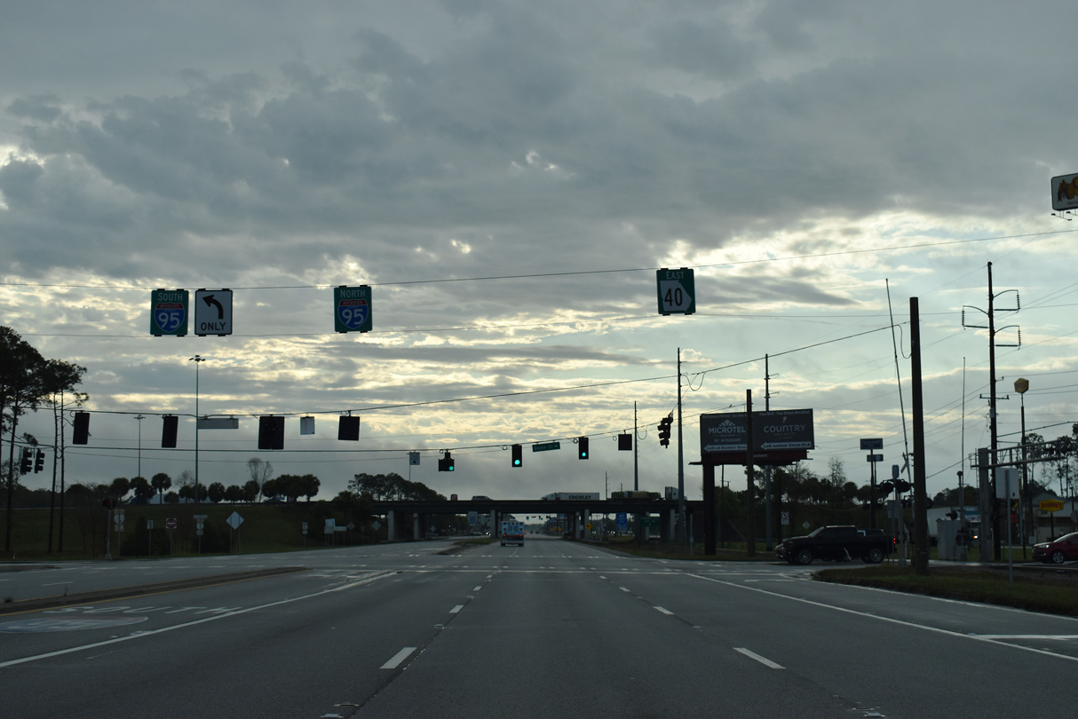
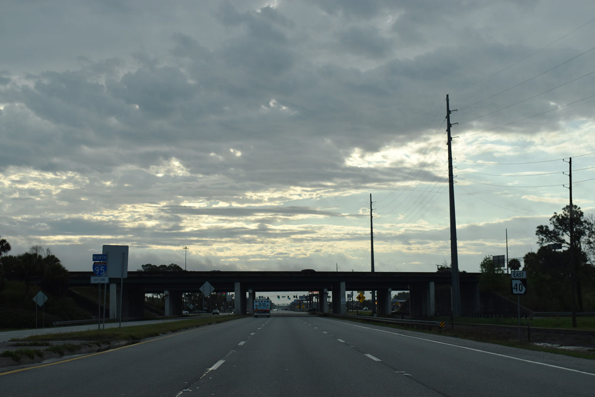
| Interstate 95 travels south to Yulee in Nassau County, Florida and then Jacksonville. 03/10/22 |
|
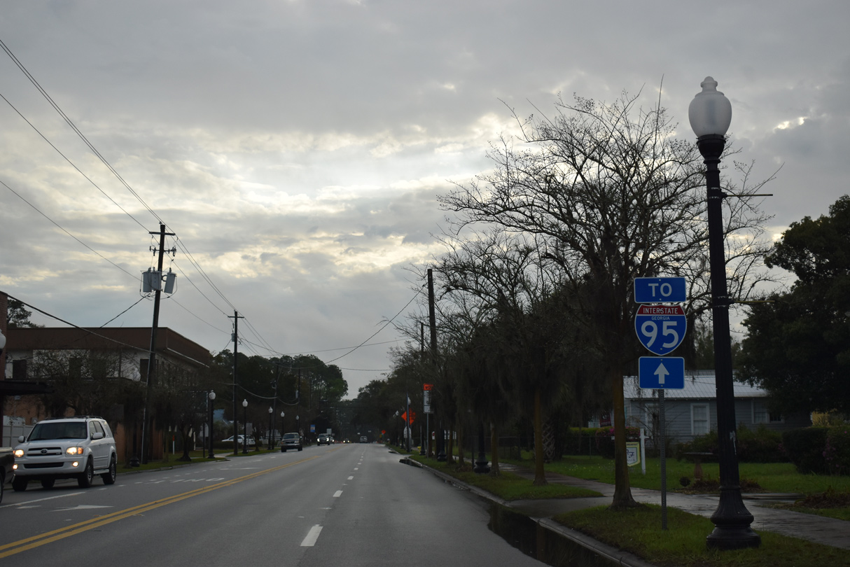
| A confirming marker for SR 40 east precedes the overpasses for Interstate 95. 03/10/22 |
|
| Interstate 95 heads 26 miles north from SR 40 to U.S. 17/82 outside Brunswick. 03/10/22 |
|
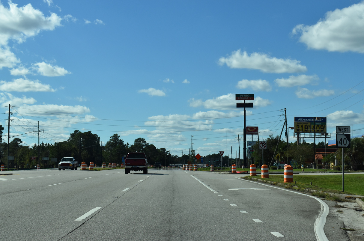
| SR 40 (King Avenue) advances 1.75 miles west from the exchange with Interstate 95 to U.S. 17/SR 25 in Kingsland. Beyond the city, SR 40 follows Okefenokee Parkway 20 miles west to Folkston. 10/15/23 |
|
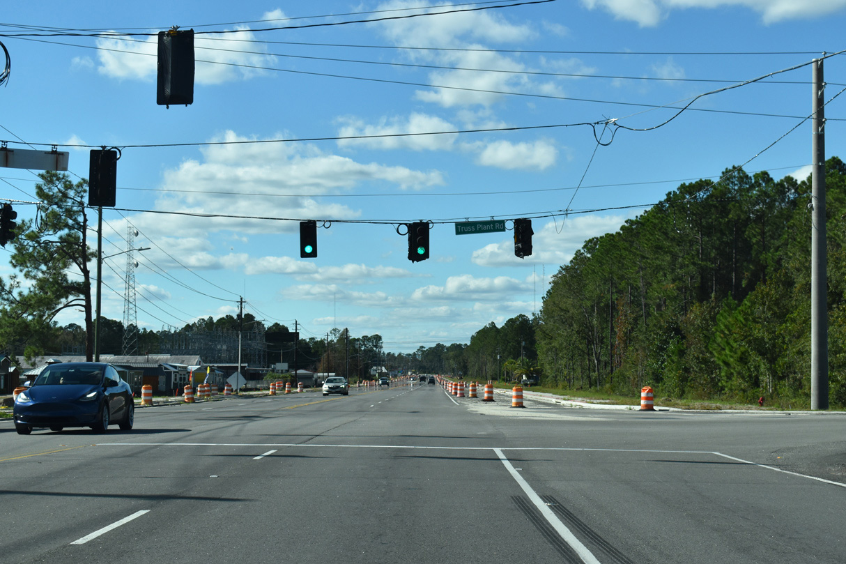
| SR 40 (E King Avenue) angles northwest meeting Truss Plant Road at a signalized intersection. 10/15/23 |
|
| Grove Boulevard ties into SR 40 (E King Avenue) as the state route enters the Kingsland street grid. A 2021-2024 widening project along SR 40 improved the geometry of the angled intersection and replaced the set of flashers with traffic signals. 10/15/23 |
|
| U.S. 17/SR 25 (Lee Street) joins SR 40 (E King Avenue) with Woodbine 11.5 miles to the north and the historic district of Kingsland. The U.S. highway continues south into the Sunshine State at the St. Marys River. 10/15/23 |
|
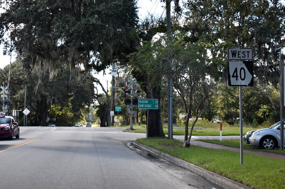
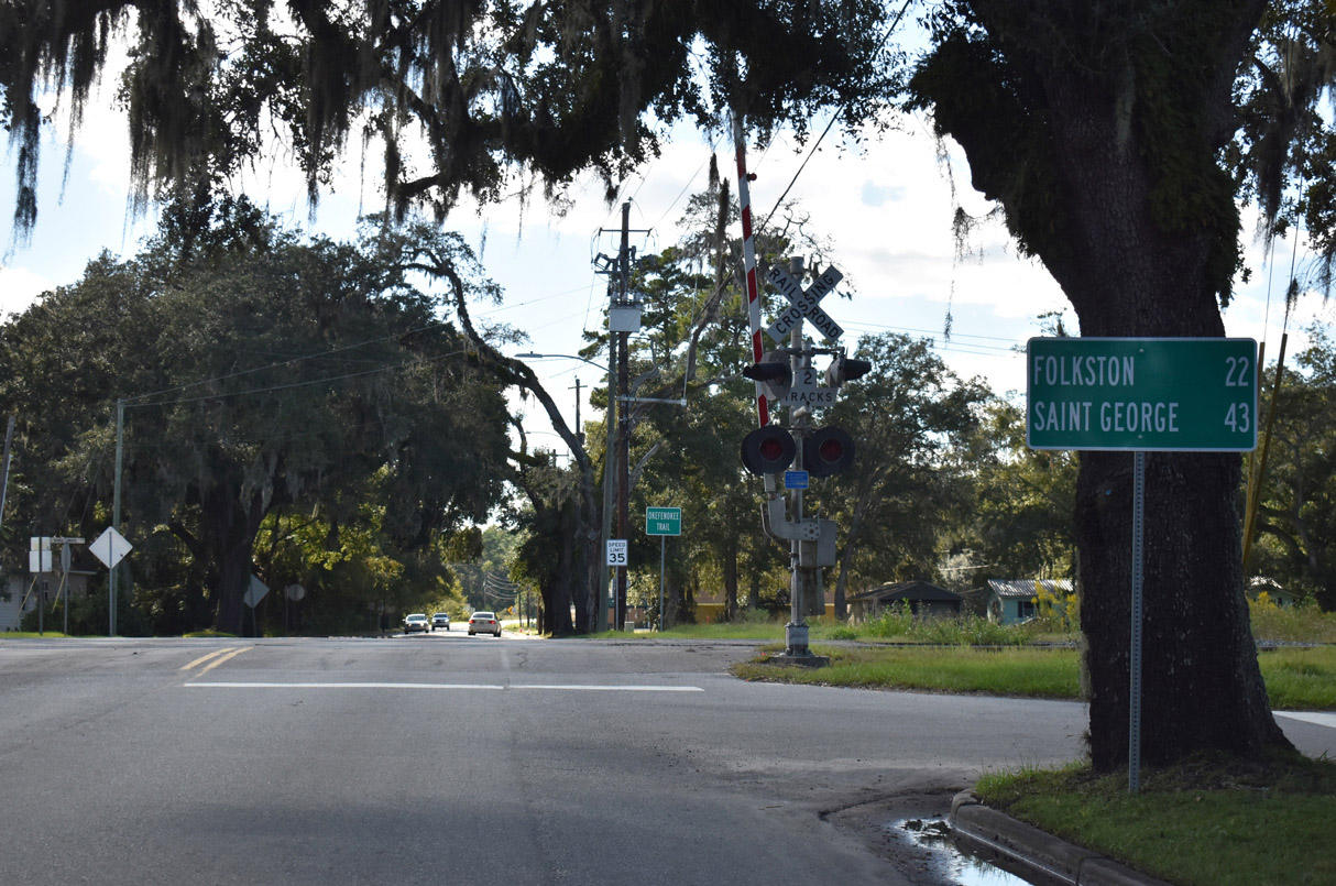
| SR 40 advances 22 miles to U.S. 1-23-301 in Folkston. Saint George lies 21 miles further to the south of Folkston along SR 23/121. 10/15/23 |
|
| Vacuna Road branches back to the southeast, joining SR 40 to U.S. 17/25 in the south end of Kingsland opposite Scrubby Bluff Road. 10/15/23 |
Page Updated 10-21-2023.

 East
East