
 West
West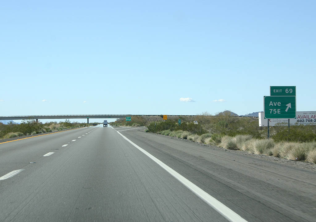
As of April 2008, all guide signs for I-10 west across La Paz County were changd to use Clearview font. The nomenclature for intersecting roads changes from numbered avenues in Maricopa County to a system based on mileage.
02/14/09
Interstate 10 passes south of Lone Mountain on the ensuing stretch.
02/14/09
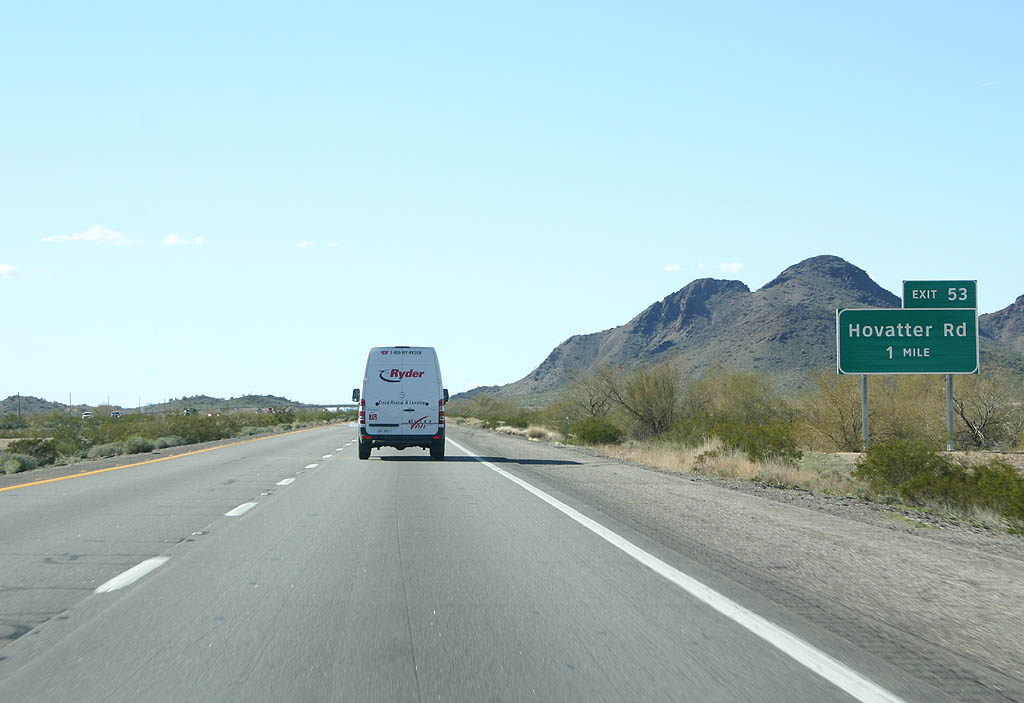
Continuing across Harquahala Plain, Interstate 10 next meets Hovatter Road at Exit 53.
02/14/09
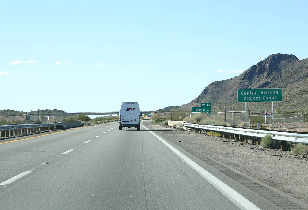
Interstate 10 crosses the Central Arizona Project canal three times between Blythe and Phoenix.
02/14/09

Exit 53 connects with Hovatter Road just east of the Little Harquahala Mountains.
02/14/09
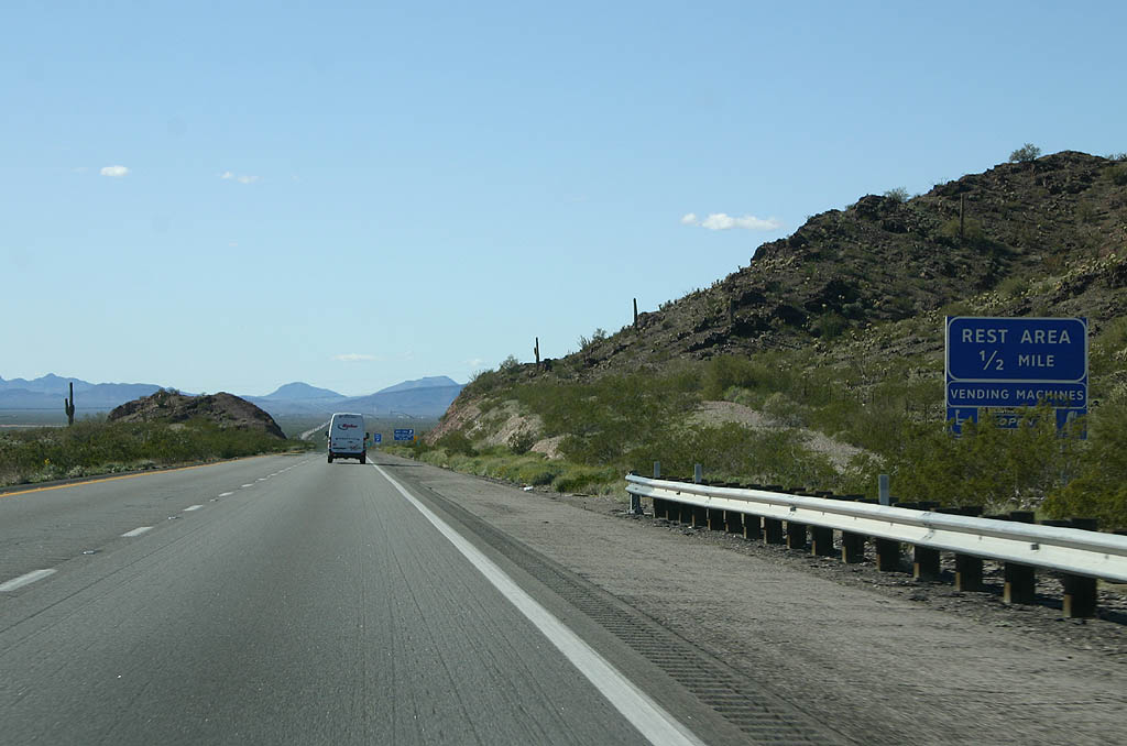
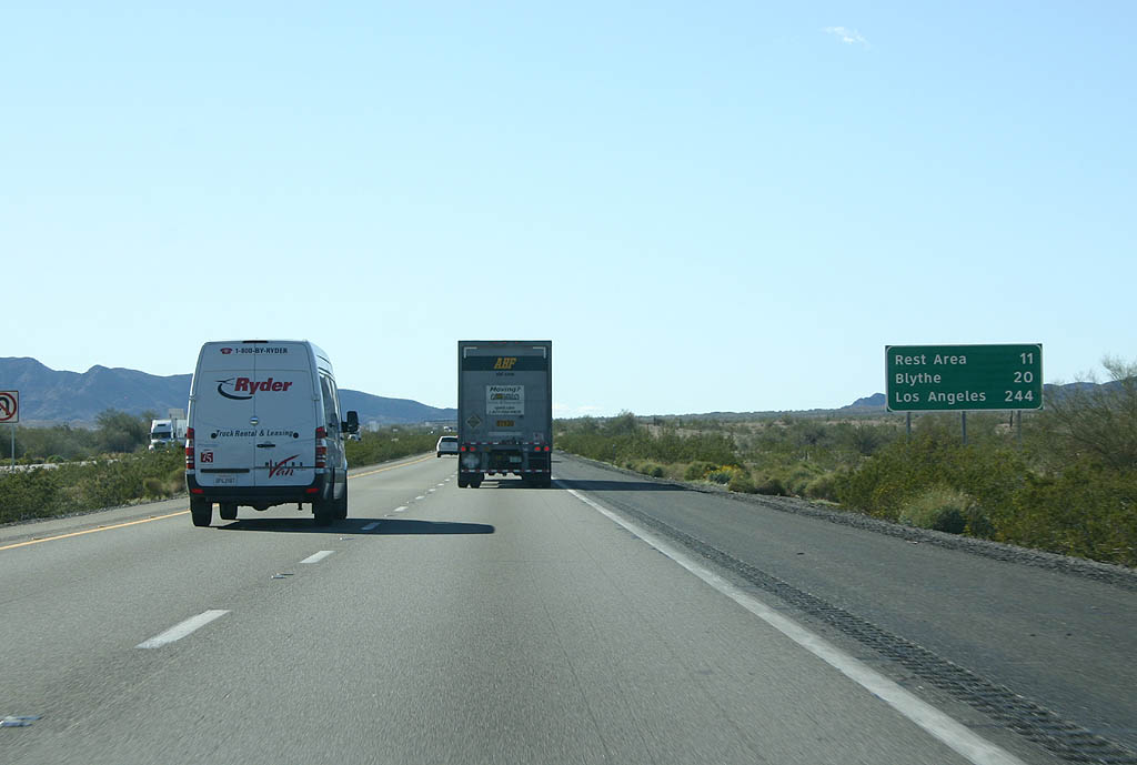
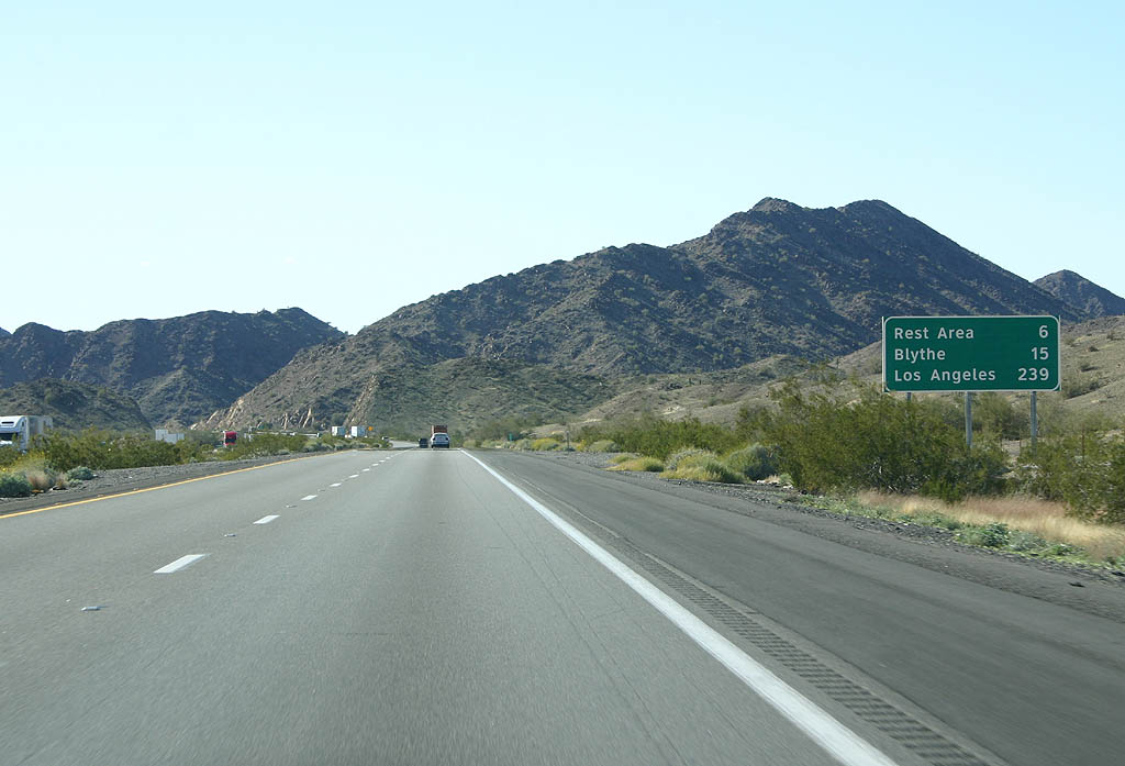
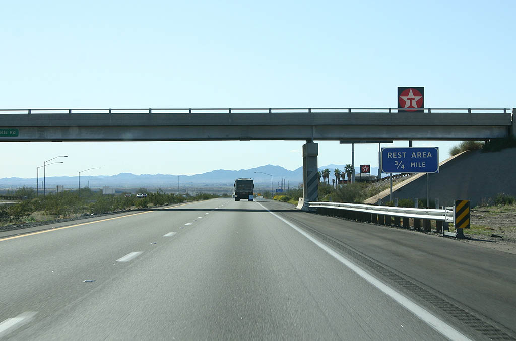
The Bouse Wash Rest Area lies just west of the Little Harquahala Mountains.
02/14/09

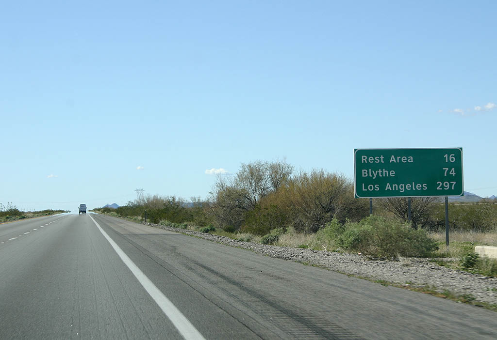
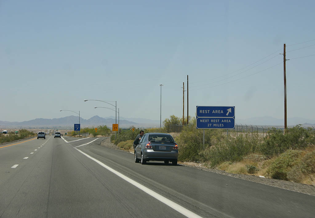
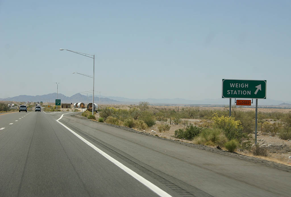
Rest areas are more frequent along Interstate 10 west of Buckeye due to the remoteness of the region and lack of services.
02/14/09

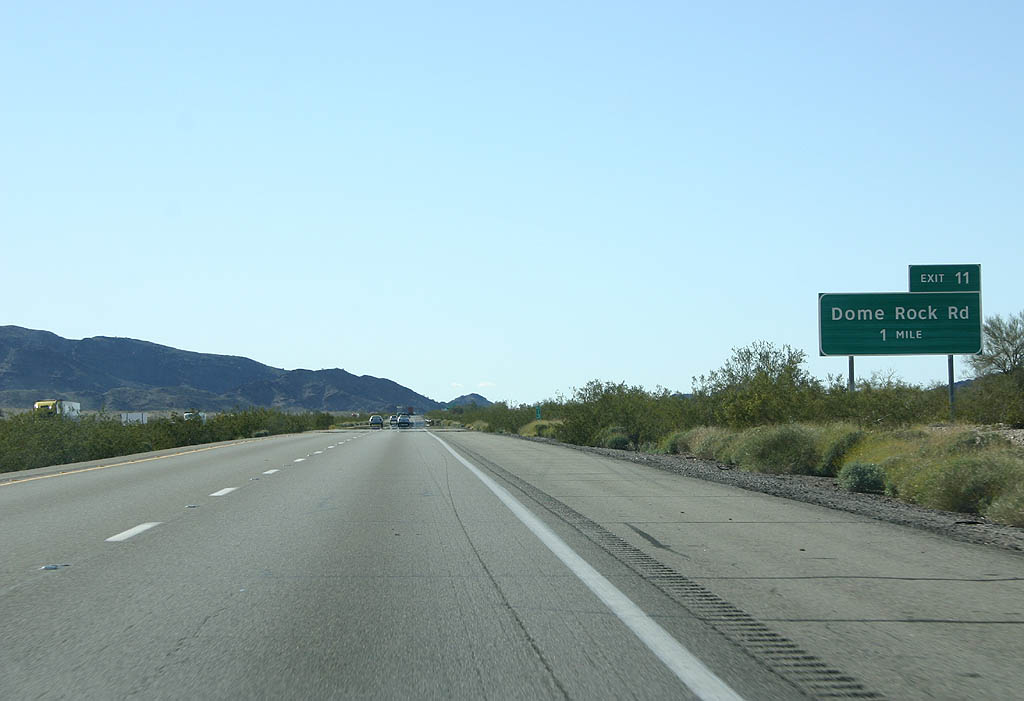
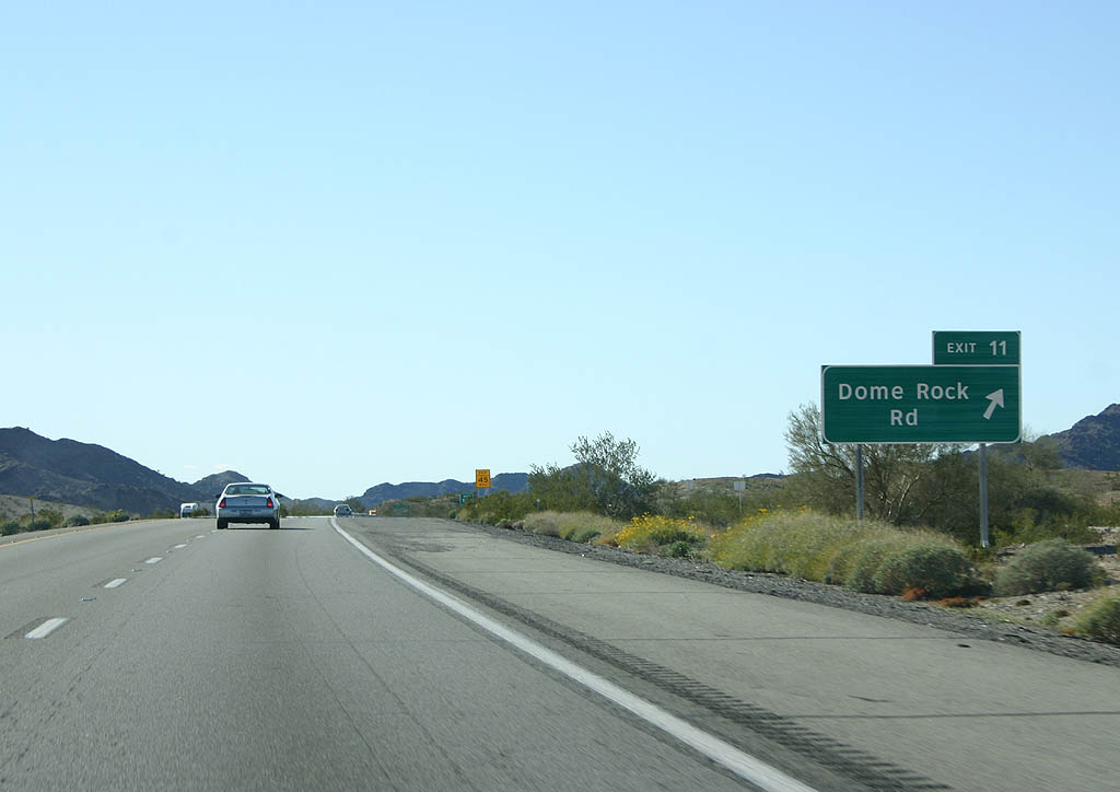
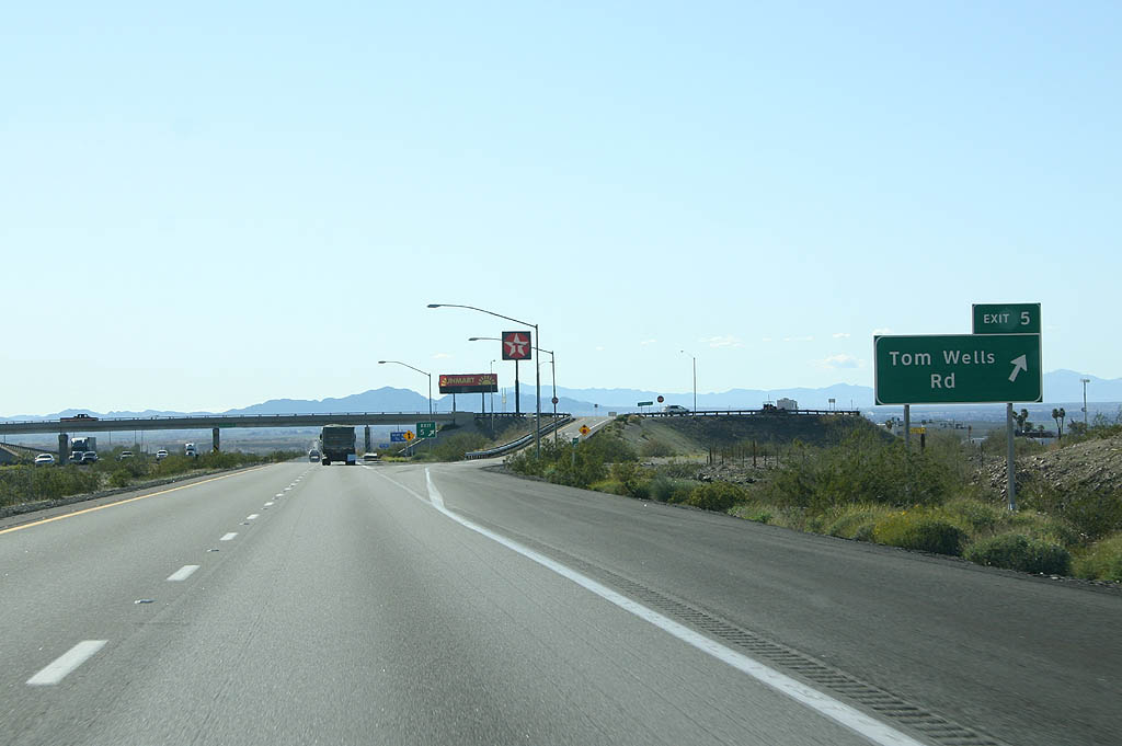
Interstate 10 traverses Upper Bouse Wash and the Ranegras Range west to the succeeding exit at Vicksburg Road.
02/14/09
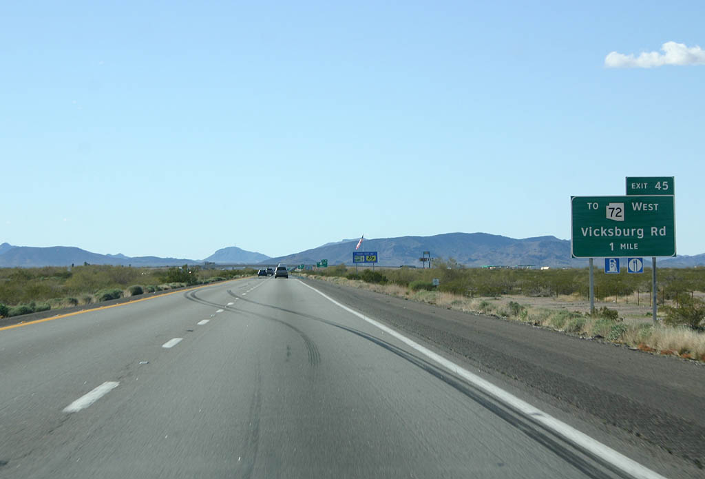
Vicksburg Road travels 7.99 miles north from forthcoming Exit 45 to SR 72 at the settlement of Vicksburg.
02/14/09
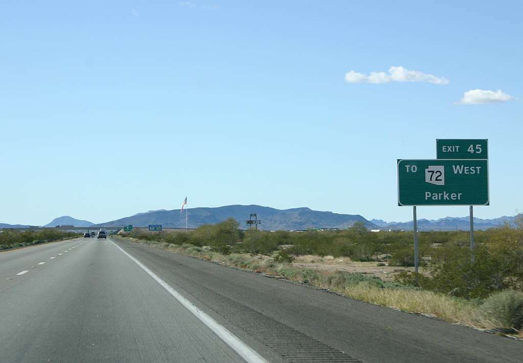
Vicksburg Road north to SR 72 west provides a more direct route from I-10 to SR 95 north to Parker and California State Route 62 west to Vidal Junction.
02/14/09

Vicksburg Road runs 5.87 miles north from Exit 45 to U.S. 60.
02/14/09

There are few exits along westbound Interstate 10 between Buckeye and Quartzsite, and a 13.6 mile long stretch separates the entrance ramp from Vicksburg to the succeeding exit with U.S. 60.
02/14/09
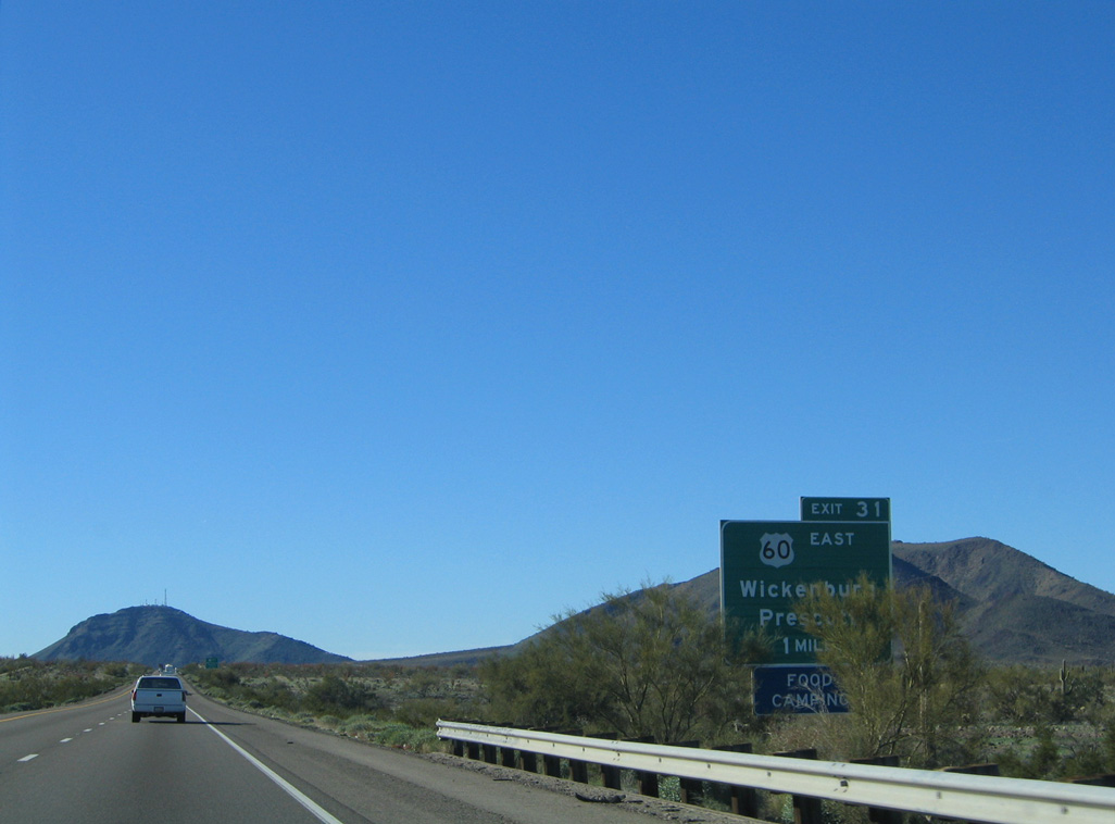
U.S. 60 leads northeast from Exit 31 past the Bear Hills to SR 71 in the Aguila Valley and U.S. 93 at Wickenburg. U.S. 93 travels northwest to Kingman and Las Vegas, Nevada while SR 71 leads northeast to SR 89 at Congress.
01/17/05

The trumpet interchange at Exit 31 marks the west end of U.S. 60. U.S. 60, along with U.S. 70, used to continue west, paralleling or coinciding with Interstate 10 to Downtown Los Angeles via Blythe and Indio, California.
01/17/05

Interstate 10 converges with U.S. 60 west ahead of the Plomosa Mountains.
02/14/09

U.S. 60 previously met Interstate 10 at The Stack alongside I-17 northwest of Downtown Phoenix.
01/17/05

U.S. 60 travels 2,655 miles overall from the Plomosa Mountains to the Atlantic Oceanfront in Virginia Beach, Virginia.
01/17/05

01/17/05
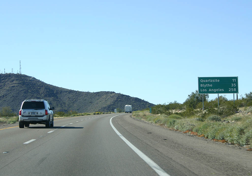
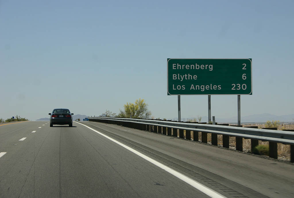
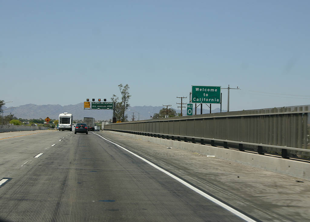
Blythe, California is 35 miles beyond the west end of U.S. 60.
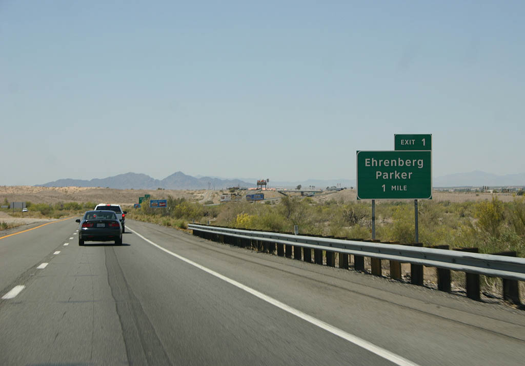
02/14/09
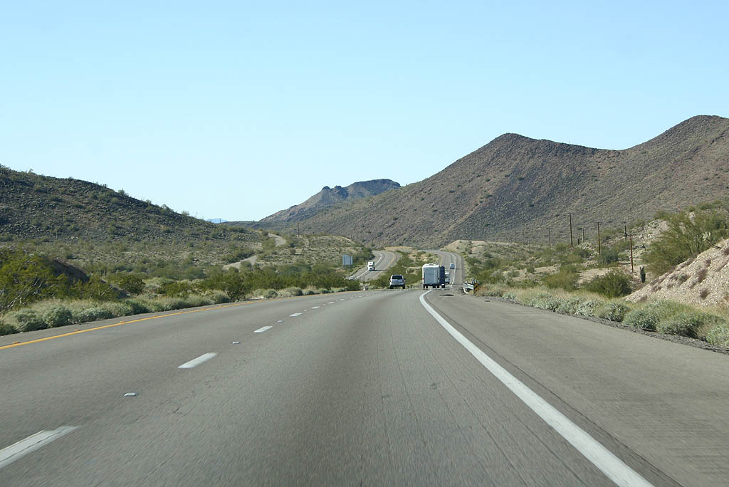
Navigating through an S-curve, Interstate 10 shifts northward by Guadalupe Mountain through Plomosa Pass.
02/14/09
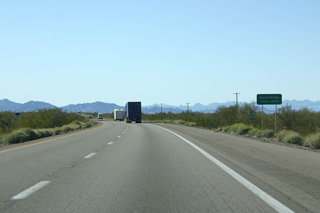
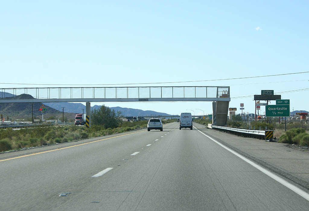
Interstate 10 enters the town of Quartszite at mile marker 28. Quartzsite is primarily a community that caters to travelers and retirees, with a significant RV population in the Winter.
02/14/09

Interstate 10 proceeds west from the Plomosa Mountains to an elongated diamond interchange (Exit 26) with Gold Nugget Road.
02/14/09

Exit 26 leaves westbound Interstate 10 for Gold Nugget Road above Italian Wash.
02/14/09

A previous distance sign posted west of Exit 26 referenced Blythe, California at 29 miles away.
02/14/09

Partly locally maintained, Business Loop I-10 through Quartzsite comprises a 2.94 mile long route between Exit 19 and 17.
02/14/09
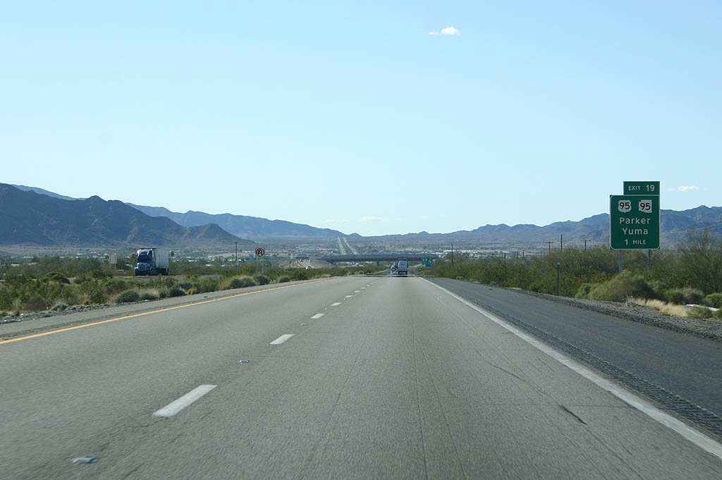
Business Loop I-10 lines E Main Street west from Riggles Road and Exit 19 to SR 95 north and U.S. 95 south along Central Boulevard. U.S. 95 travels south to Yuma and San Luis at the International border, while SR 95 leads north to Parker and Lake Havasu City.
02/14/09
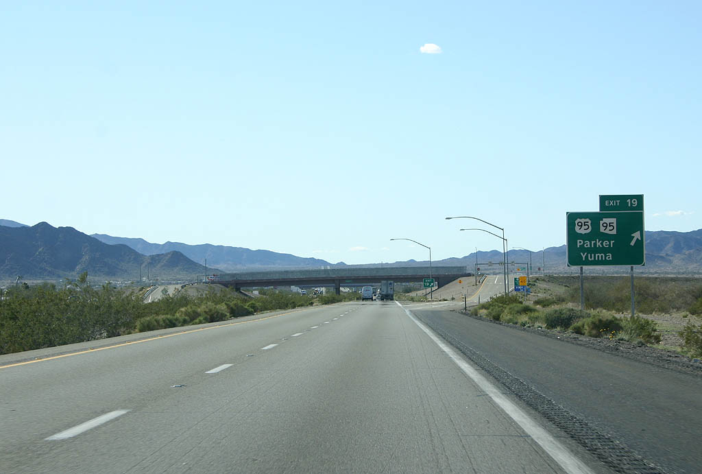
There is no direct connection between Interstate 10 and U.S. 95/SR 95.
02/14/09

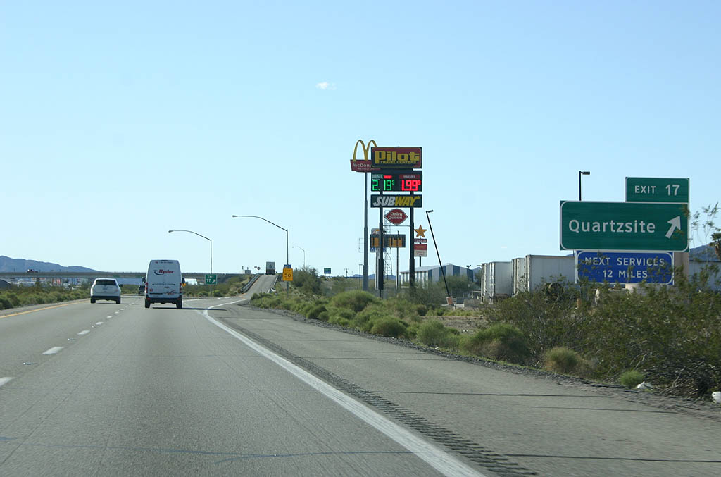
Business Loop I-10 combines with U.S. 95 along W Main Street (old U.S. 60/70) to a diamond interchange (Exit 17) with I-10 one mile west of Tyson Wash.
01/17/05
02/14/09
02/14/09
West  North
North
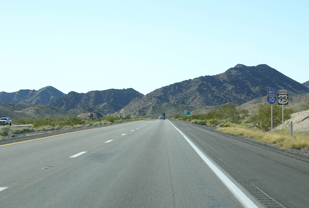
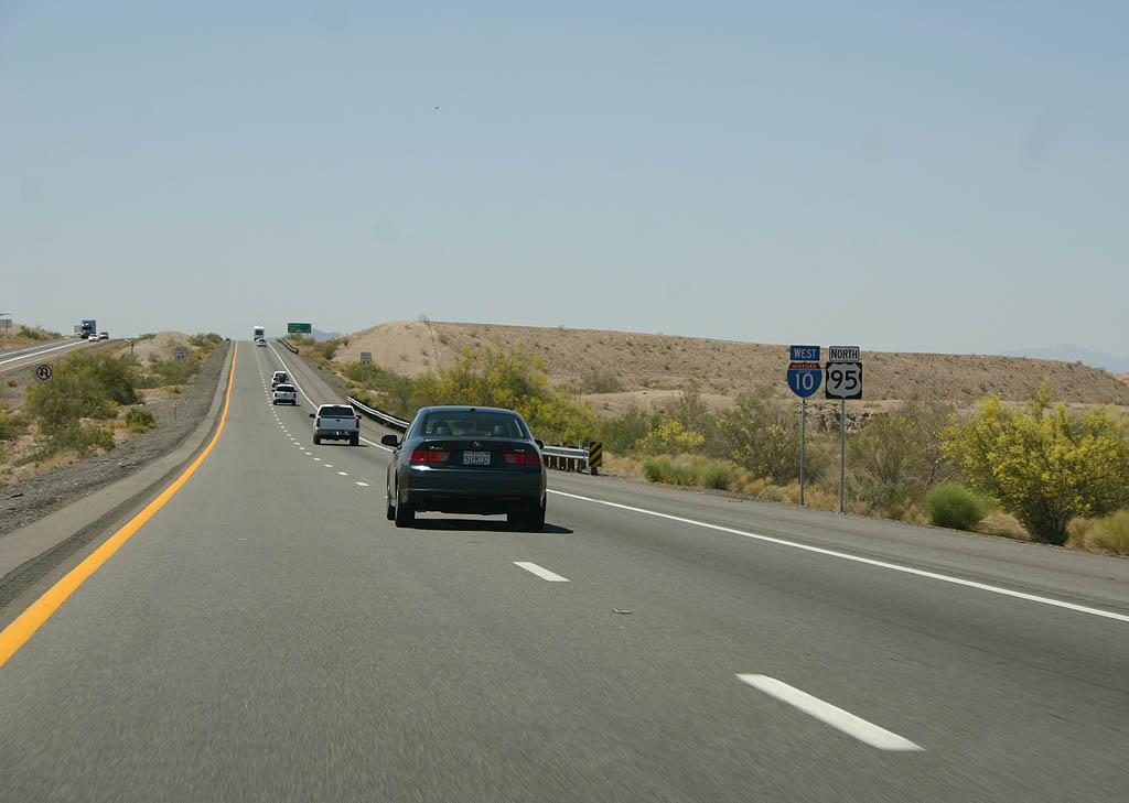
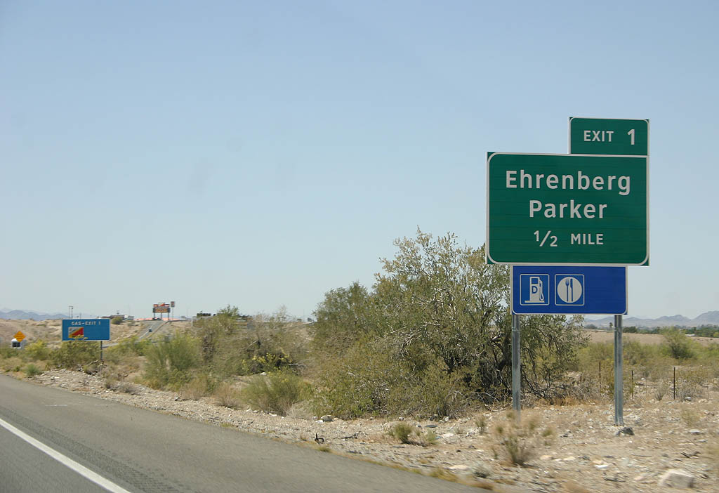
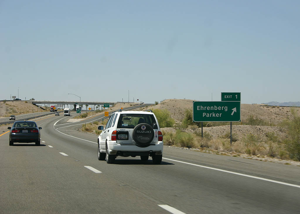
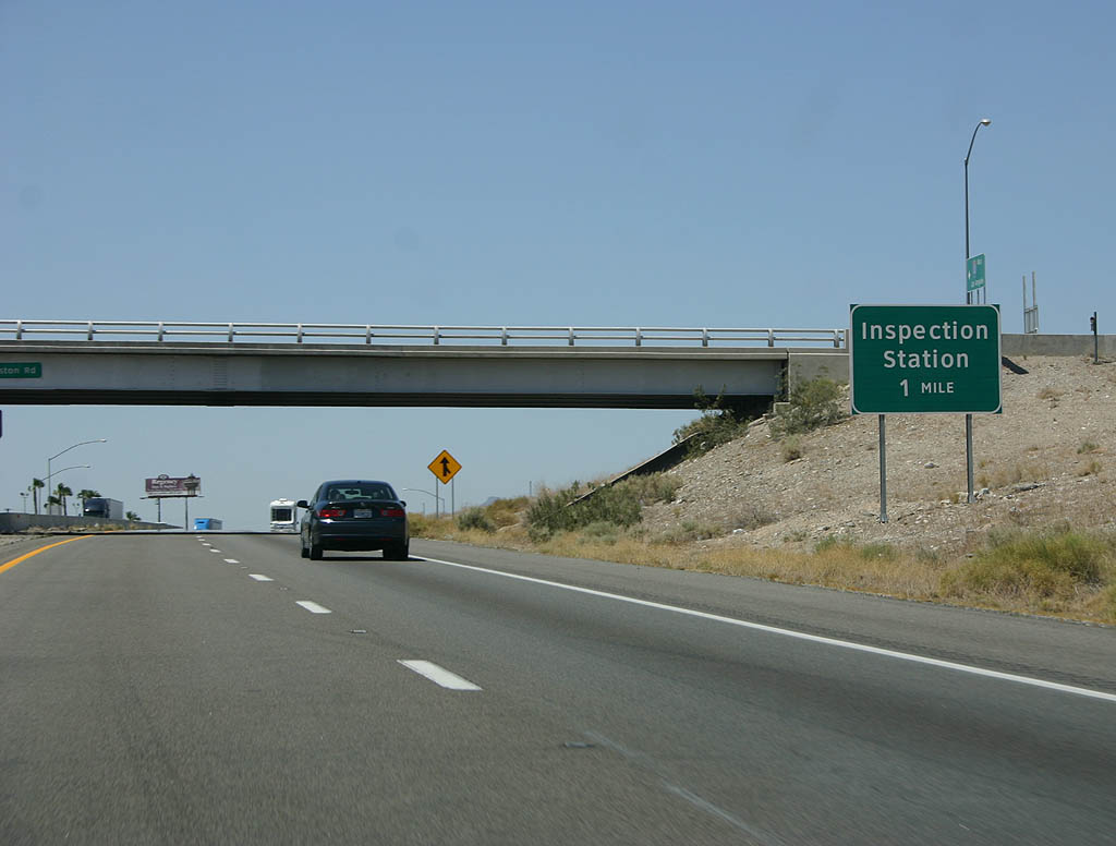
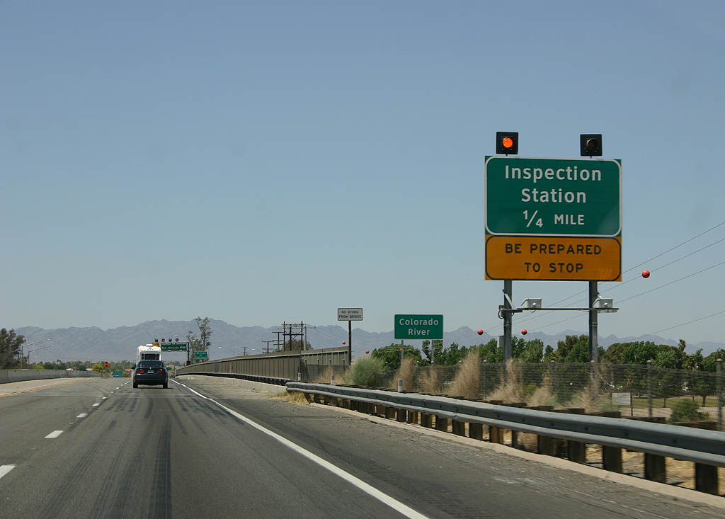
U.S. 95 north combines with Interstate 10 west to Blythe, California. The two overlap for 19.94 miles in Arizona.
01/17/05
02/14/09
02/14/09
02/14/09
02/14/09
02/14/09
02/14/09
02/14/09
02/14/09
02/14/09
02/14/09
04/19/08
04/19/08
04/19/08
04/19/08
04/19/08
04/19/08
04/19/08
04/19/08
04/19/08
04/19/08
04/19/08
Photo Credits:
- 01/17/05 by AARoads.
- 04/19/08 by Kevin Trinkle.
- 02/14/09 by Kevin Trinkle.
Connect with:
Business Loop I-10 - Quartzsite
U.S. 60
U.S. 95
State Route 95
Page Updated 04-15-2022.