
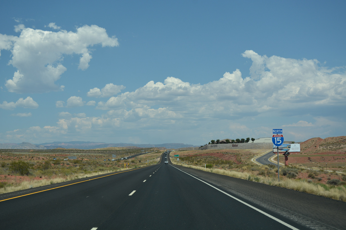
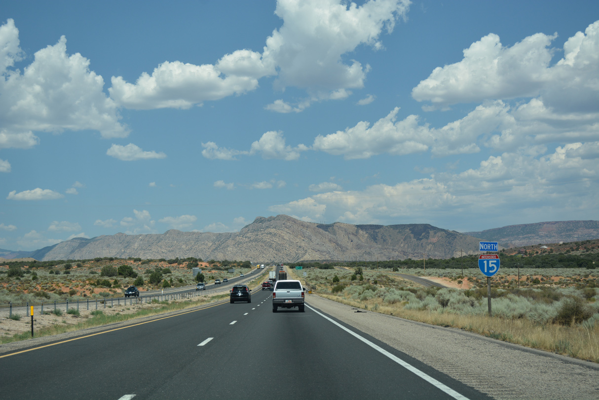
 North
North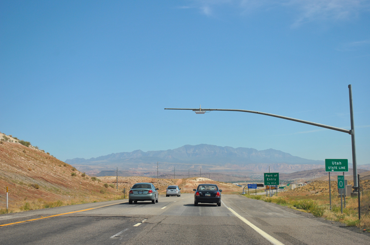
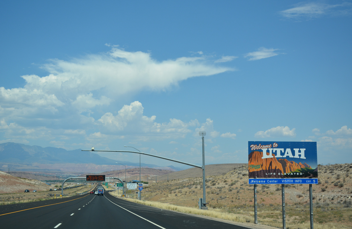
Interstate 15 enters the Beehive State northeast from Exit 27 for Black Canyon Road in Arizona.
08/12/11
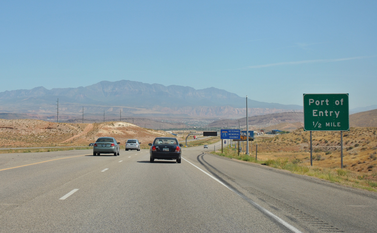
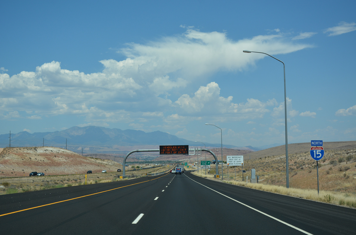
Ports of entry/weigh stations operate along both directions of I-15 at mile marker 1.
08/12/11
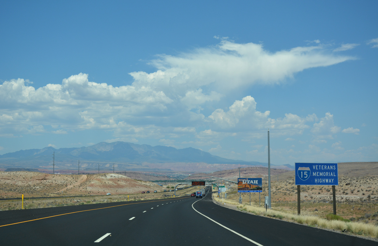
Throughout the state of Utah, Interstate 15 is designated as the Veterans Memorial Highway.
07/15/17
07/15/17
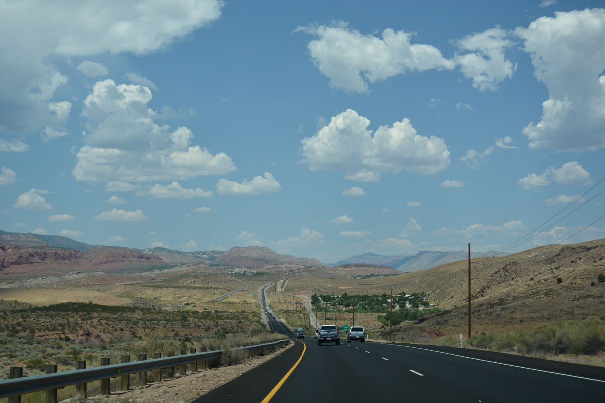
Interstate 15 proceeds north into the city of Saint George from Big Valley.
07/15/17
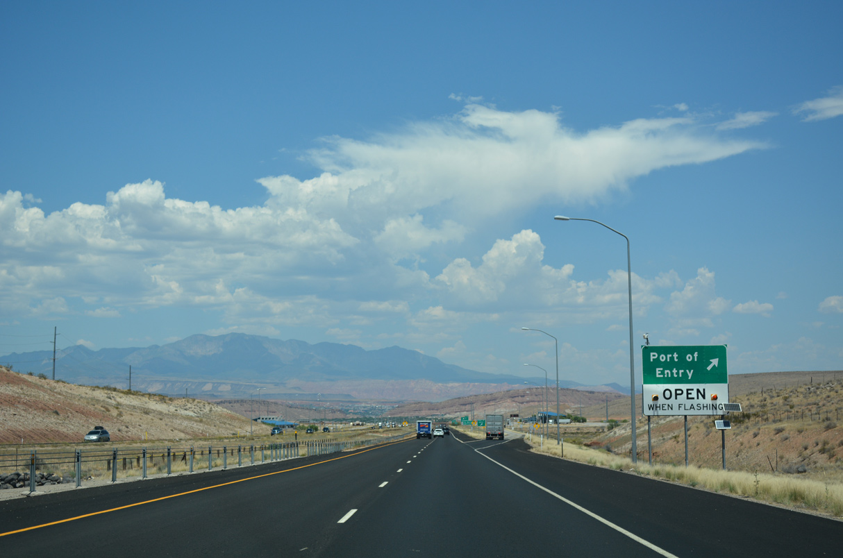
The purpose of the port of entry is to check the weight of commercial vehicles to ensure they are carrying loads within the legal limits as well as provide inspection facilities.
07/15/17
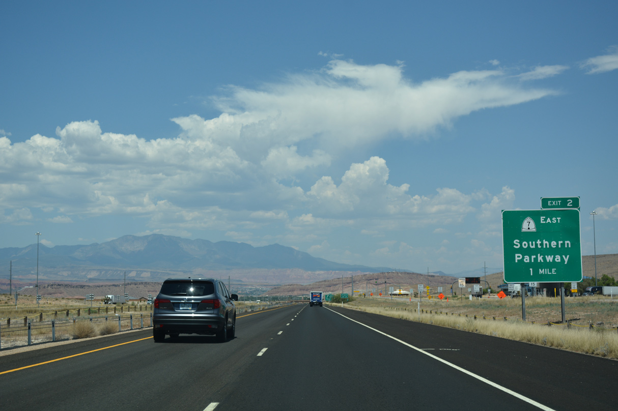
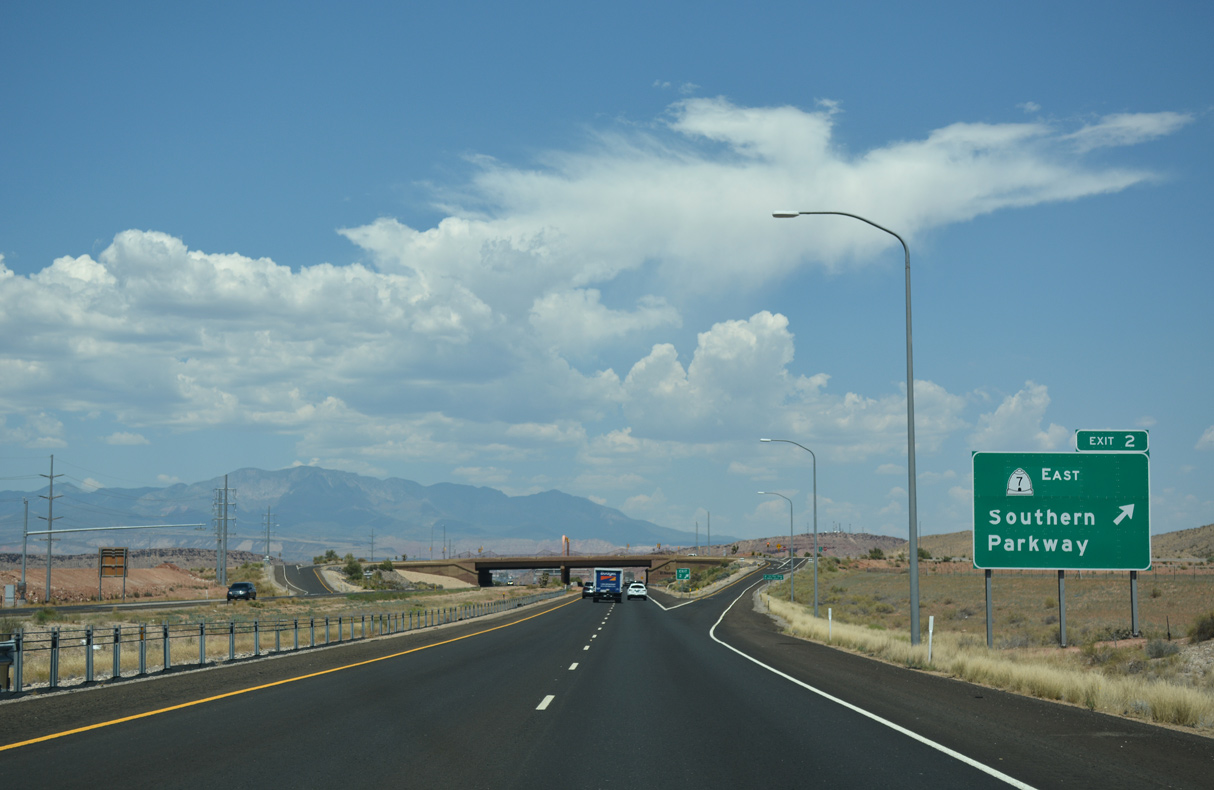
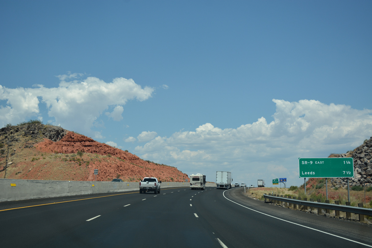
SR 7 (Southern Parkway) constitutes a 26.33 mile long limited access route around the south side of St. George and Washington from I-15 at Exit 2 to SR 9 (State Street) in the city of Hurricane.
07/15/17
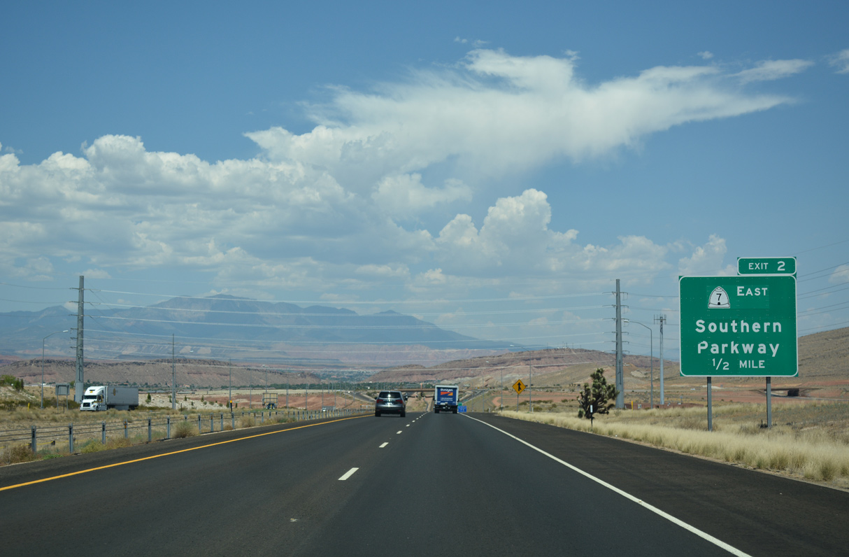
The SPUI at Exit 2 with SR 7 (Southern Parkway) east and Sun River Parkway west fully opened to traffic on July 7, 2009. Sun River Parkway extends west into the Sun River development south of the Virgin River.
07/15/17
Segment Five, extending SR 7 (Southern Parkway) north eight miles from Sand Hollow to SR 9 in Hurricane, opened to traffic on May 20, 2021.1
07/15/17
Originally known as the Dixie Beltway, Southern Parkway was constructed to promote economic development and serve St. George Regional Airport (SGU).
08/12/11
Interstate 15 advances north between the Price City Hills and the Price Bench east of the Virgin River.
07/15/17
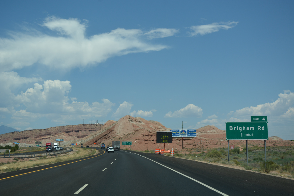
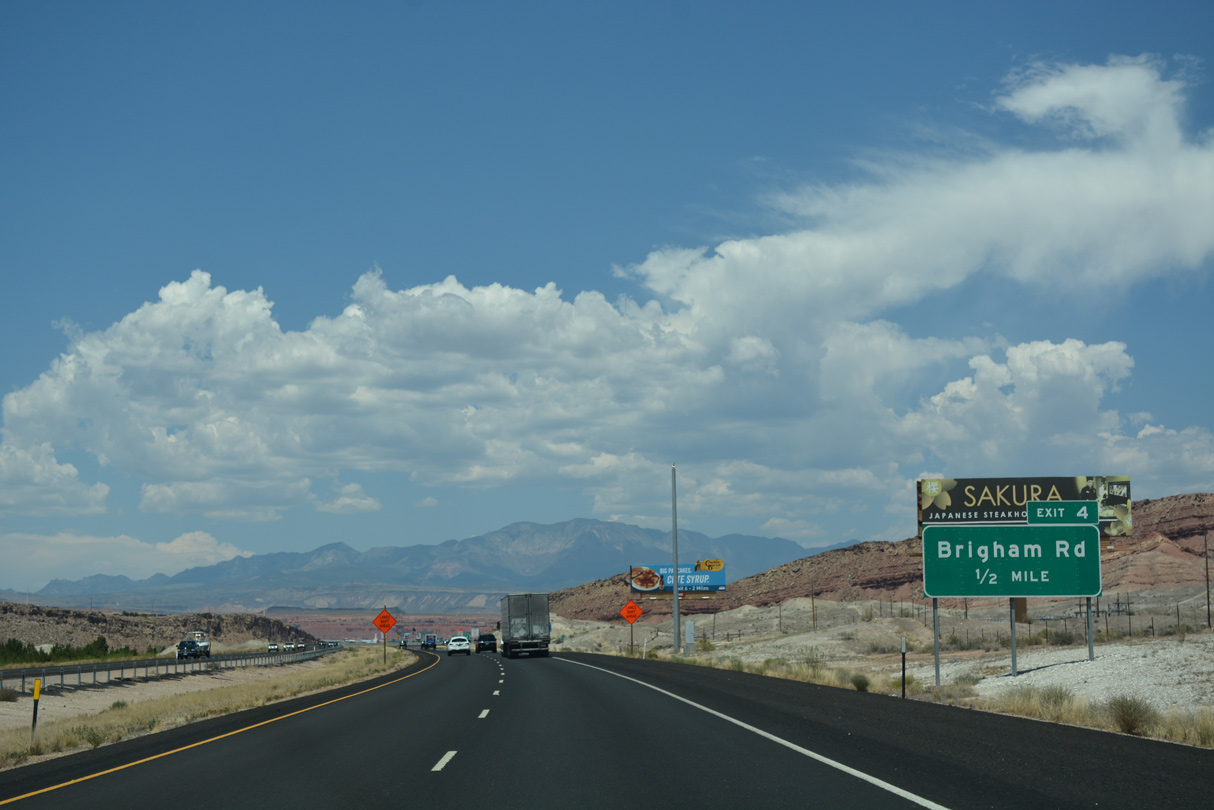
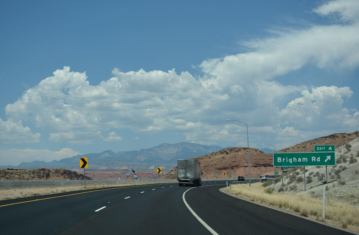
Brigham Road meets Interstate 15 at a dumbbell interchange (Exit 4) in one mile.
07/15/17
07/15/17
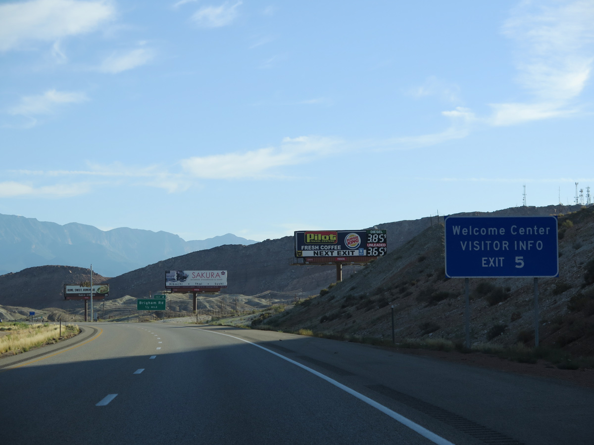
The original Utah Welcome Center was located where the exchange with SR 7 was built. The tourist information center was relocated to the Dixie Convention Center adjacent to Exit 5.
08/09/14
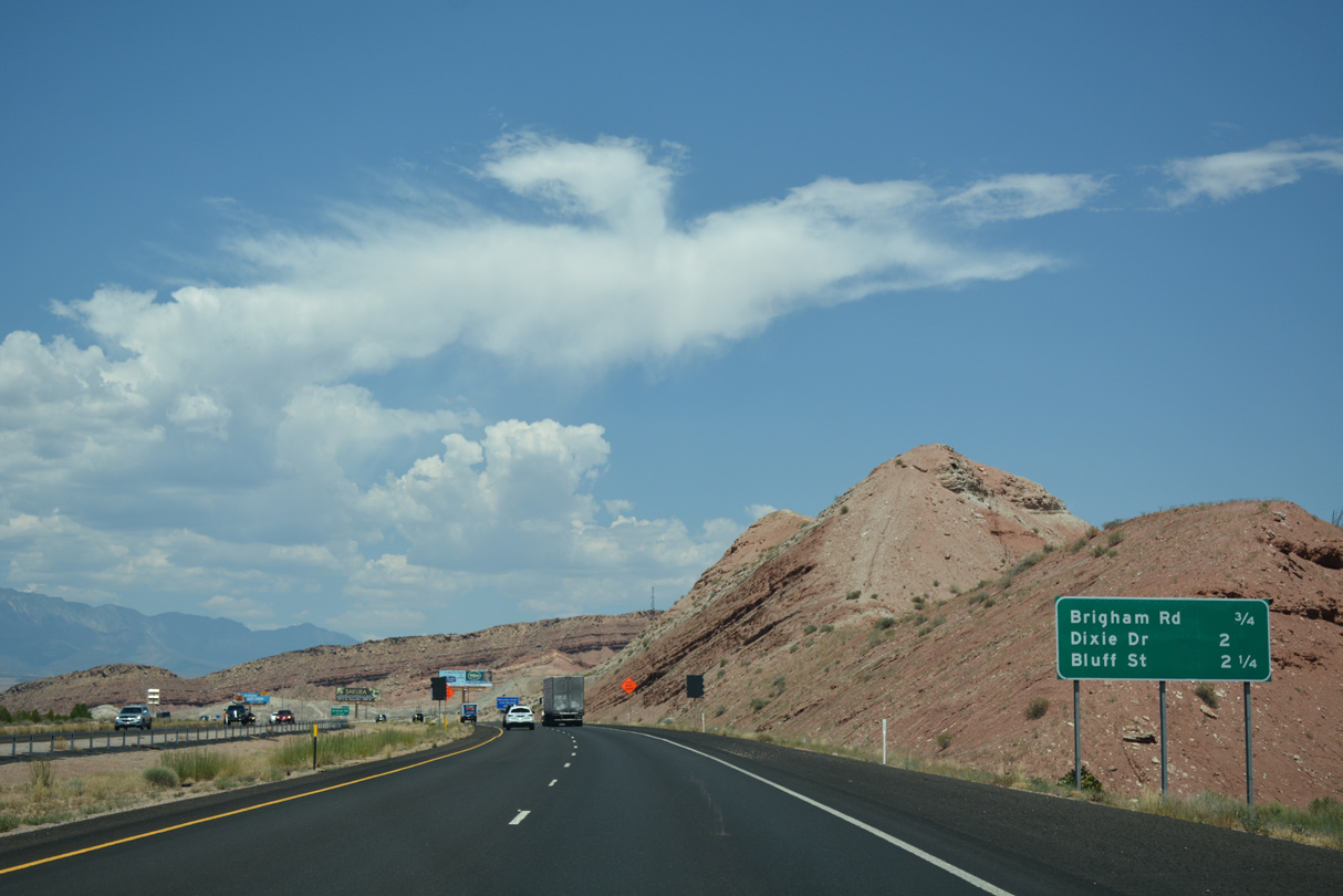
Brigham Road leads east to the community of Bloomington Hills and west to Bloomington. Both fall within the city of St. George.
07/15/17
07/15/17
Adjacent to the Santa Clara River, the SPUI (Exit 5) with Dixie Drive was completed in July 2012.
07/15/17
2017 replacement of the bridges over the Virgin River included the addition of auxiliary lanes between Brigham Road and Exit 5 / Dixie Drive.
07/15/17
The succeeding three exits serve the St. George urban area. As a gateway to Zion National Park, the city is a popular vacation destination. With its warm climate, St. George is also attractive to retirees, just like Mesquite, Nevada.
08/09/14
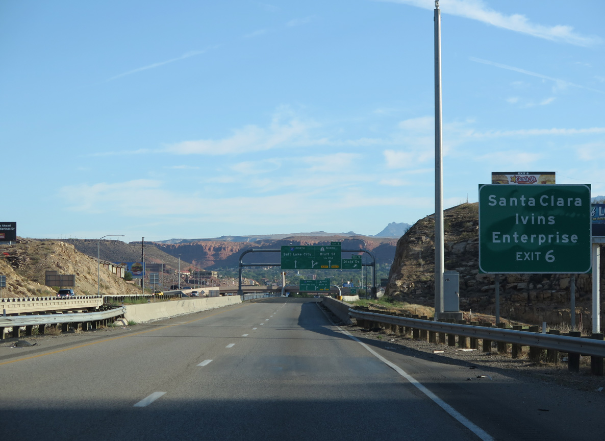
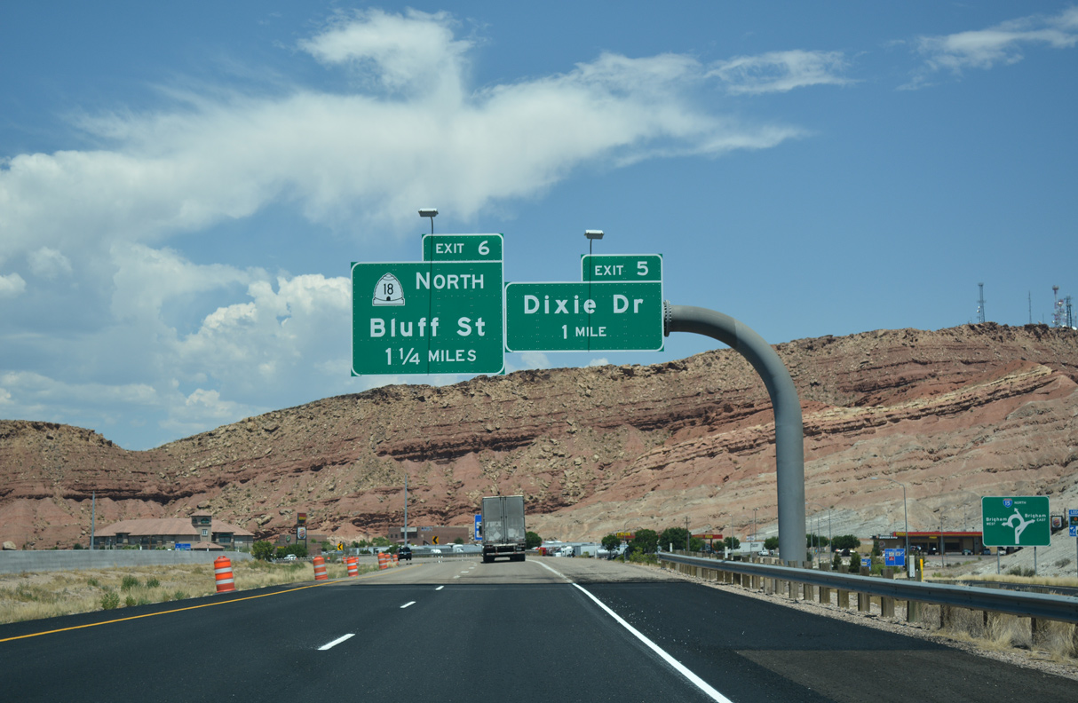
SR 18 travels north from St. George and I-15 at Exit 6 to Enterprise in northern Washington County. The cities of Santa Clara and Irvin lie northwest of St. George along old U.S. 91.
08/09/14
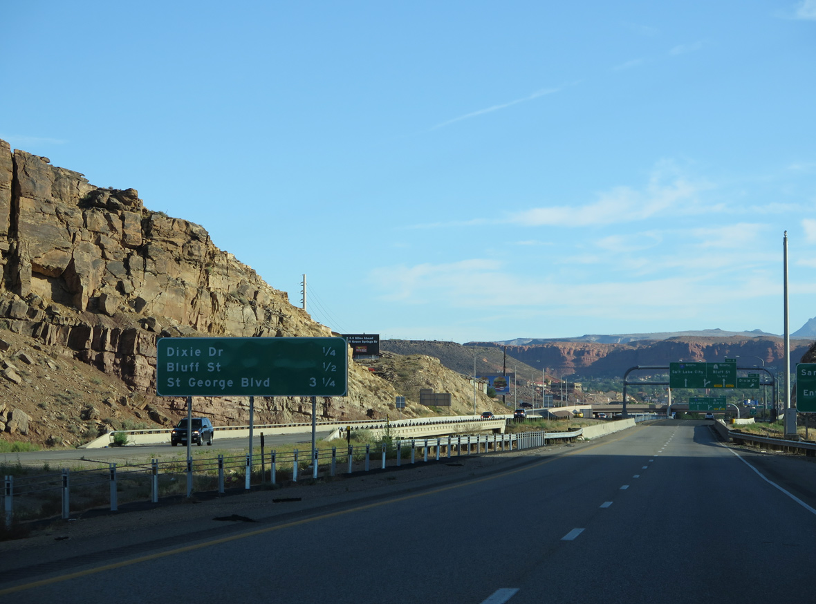
Exit 5 departs I-15 north beyond the Virgin River. Dixie Drive parallels the Santa Clara River northwest from nearby Crosby Way.
07/15/17
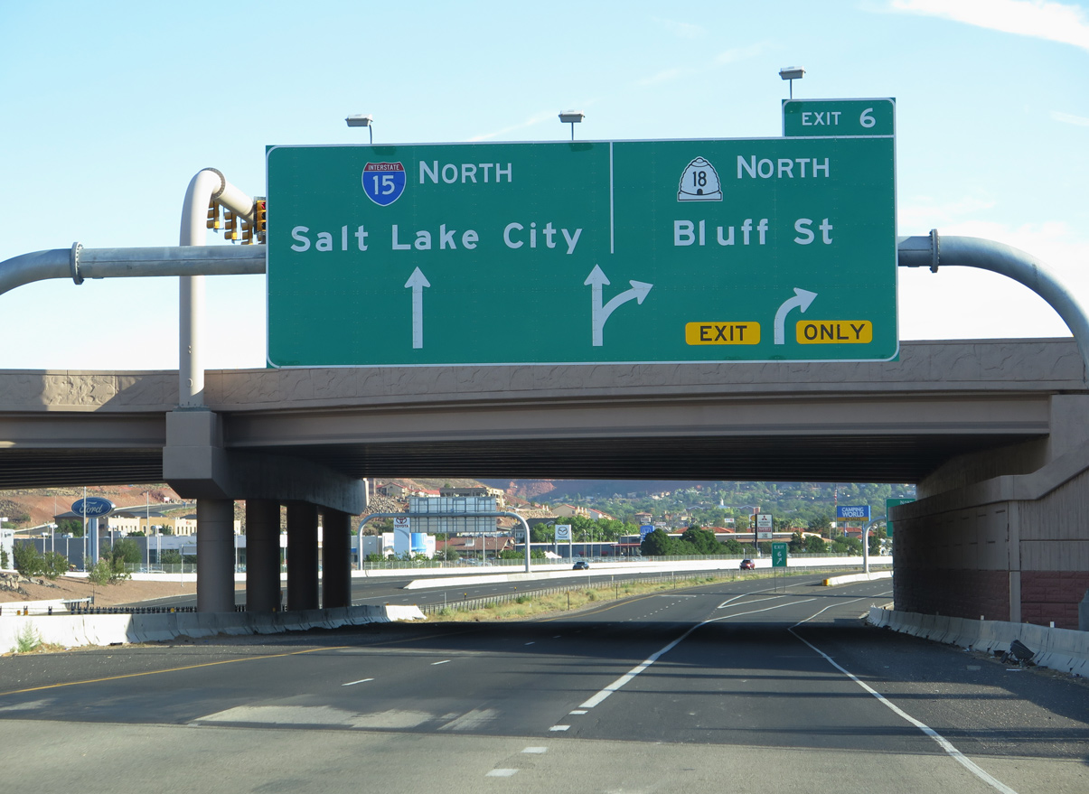
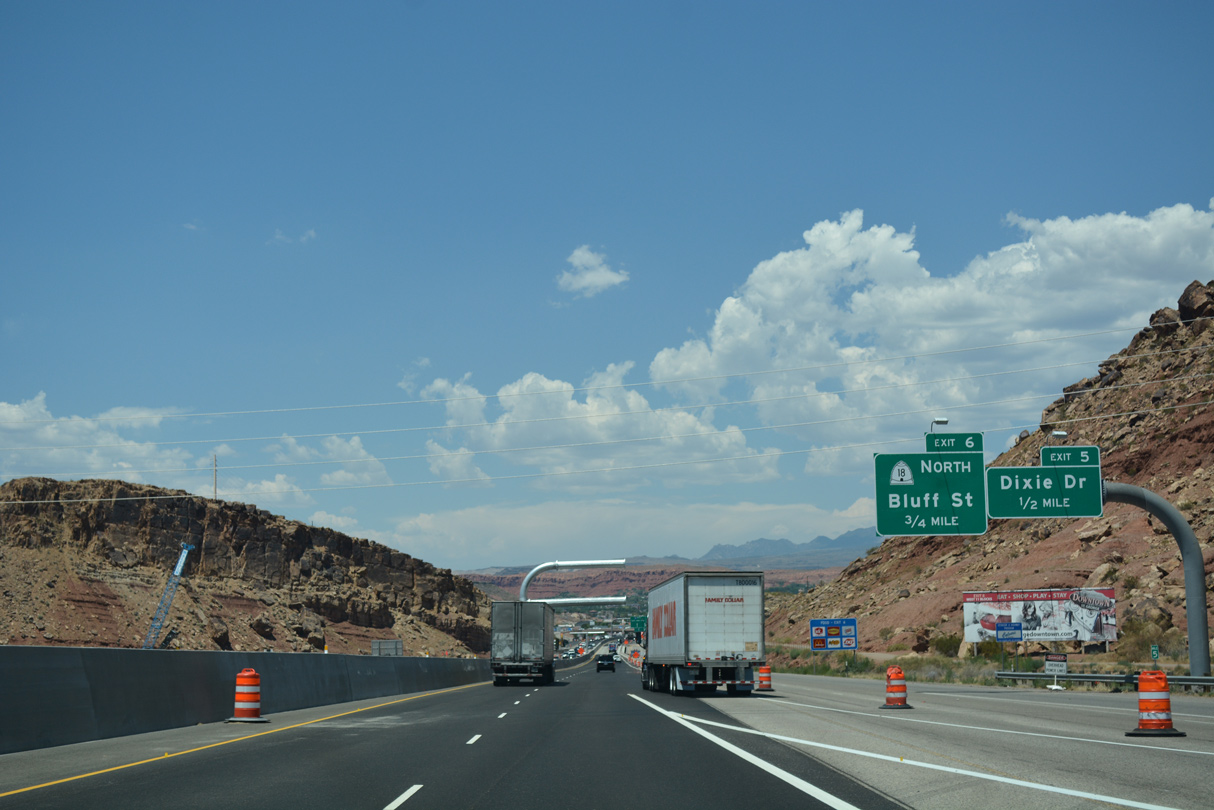
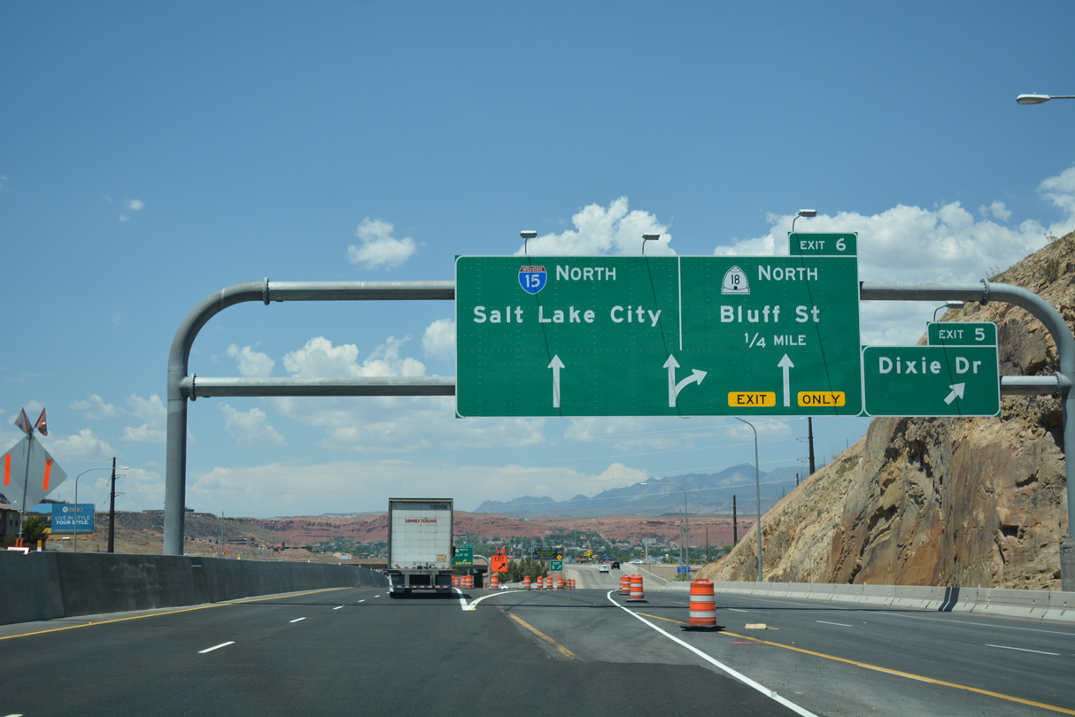
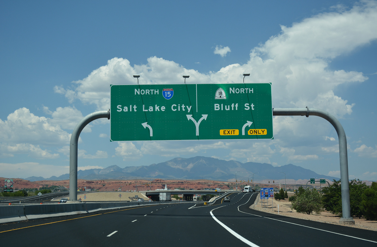
A c/d roadway separates from I-15 north below Dixie Drive for Exit 6. SR 18 (Bluff Street) runs along the west side of the St. George street grid to SR 34 (St. George Boulevard) by Downtown.
08/09/14
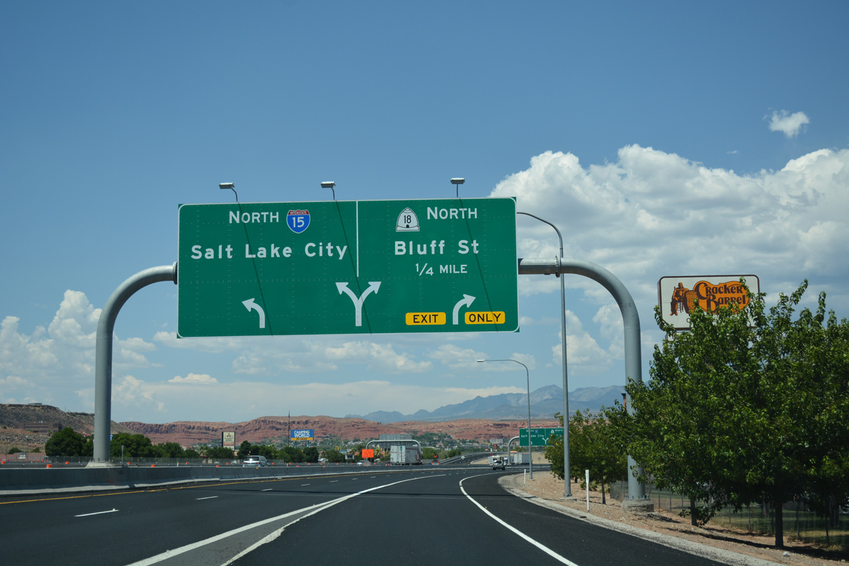
Although unmarked at Exit 6, SR 18 north to SR 34 (St. George Boulevard) east is part of Business Loop I-15. The business route returns to I-15 at Exit 8.
07/15/17
Originally a trumpet interchange joined I-15 north with Business Loop I-15/SR 18 (Bluff Street) north at Exit 6. It was converted to a diamond interchange in 2008/09.
07/15/17
Interstate 15 arcs northward by the campus of Dixie State University to Business Loop I-15/SR 34 (St. George Boulevard) at Exit 8.
07/15/17
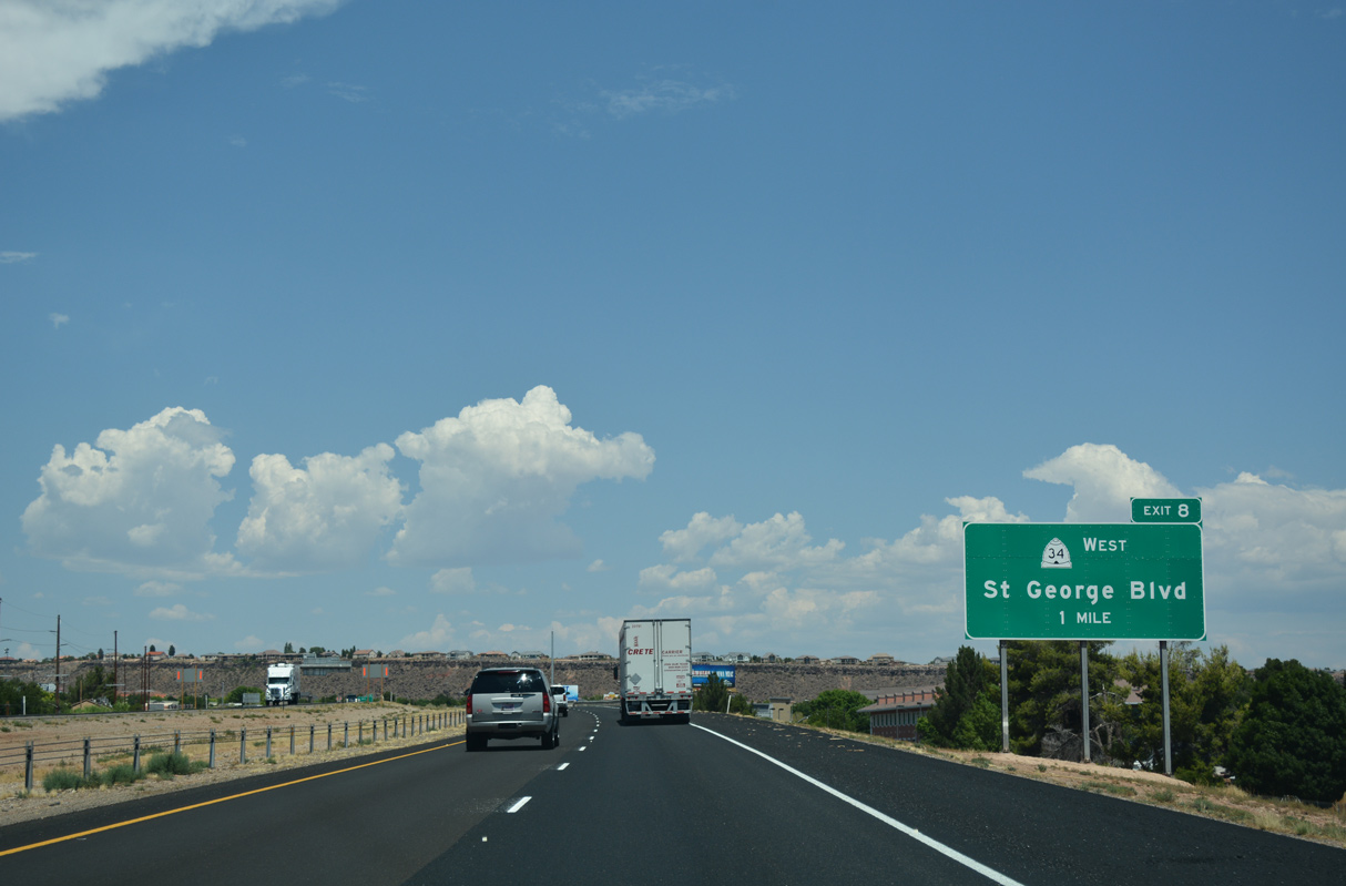
2.17 miles in length, SR 34 lines St. George Boulevard west to Downtown St. George and SR 18 (Bluff Street) and east to adjacent Red Cliffs Drive north / River Road south.
07/15/17
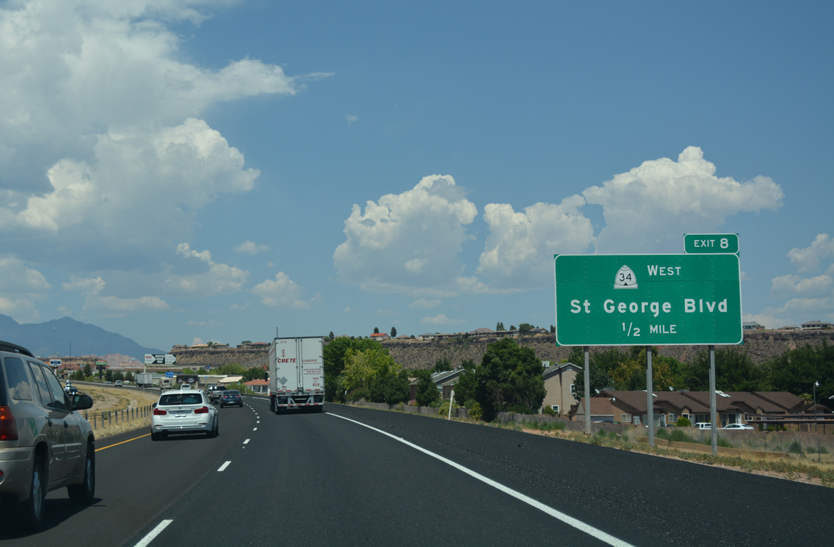
St. George Boulevard is both the northern leg of Business Loop I-15 and also part of historic U.S. 91.
07/15/17
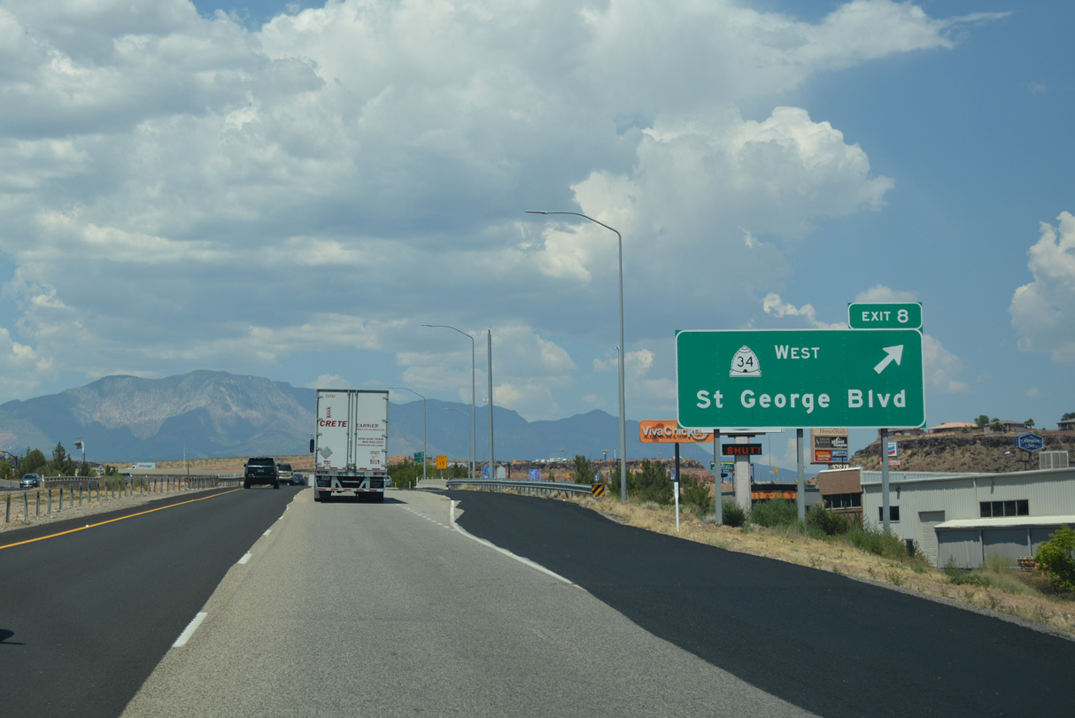
The exchange at Exit 8 was converted to a DDI in 2014. It was originally a trumpet interchange with SR 34 (St. George Boulevard) west.
07/15/17
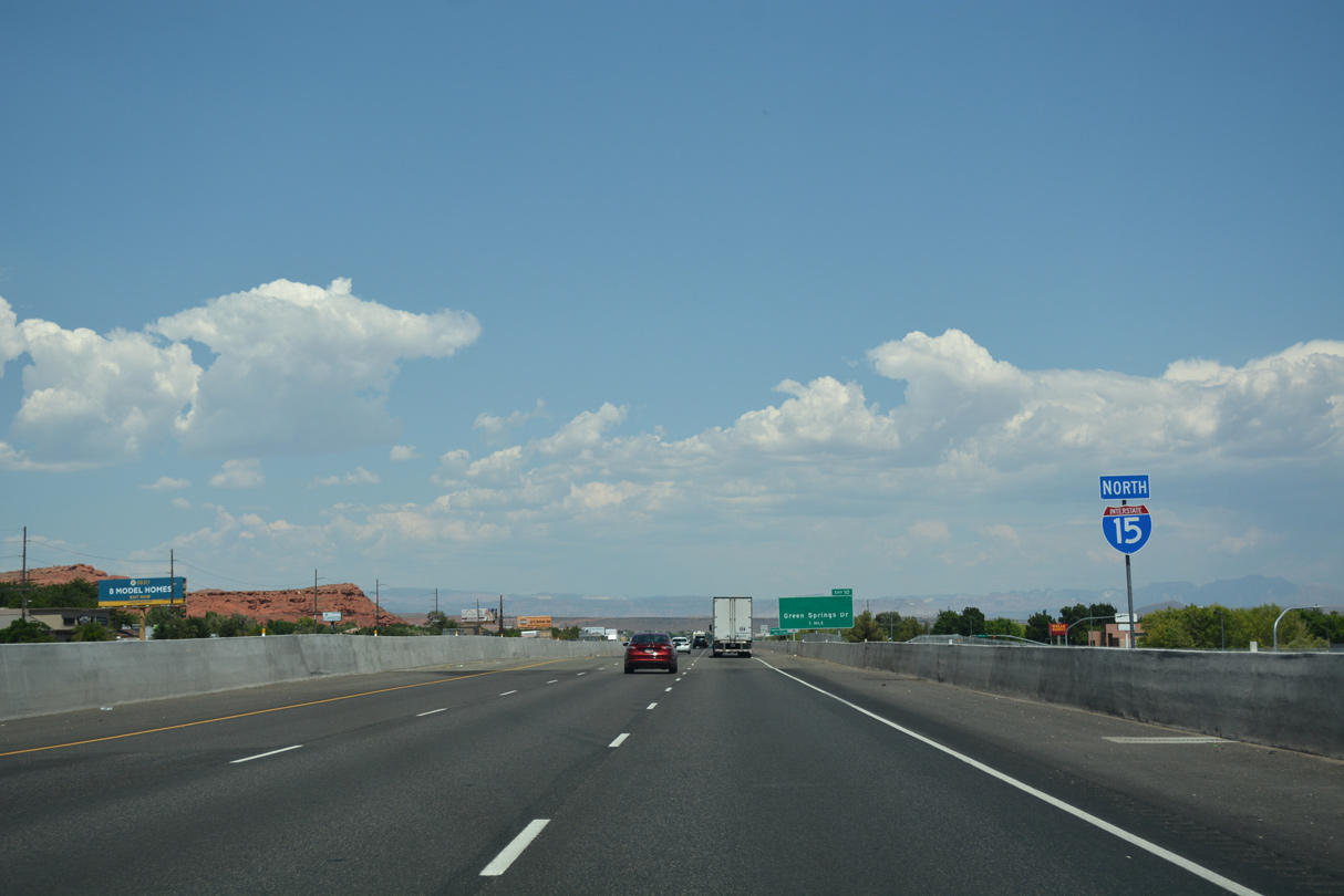
The next three exits from Interstate 15 north serve the city of Washington.
07/15/17
07/15/17
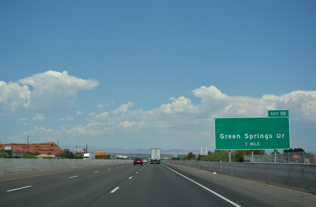
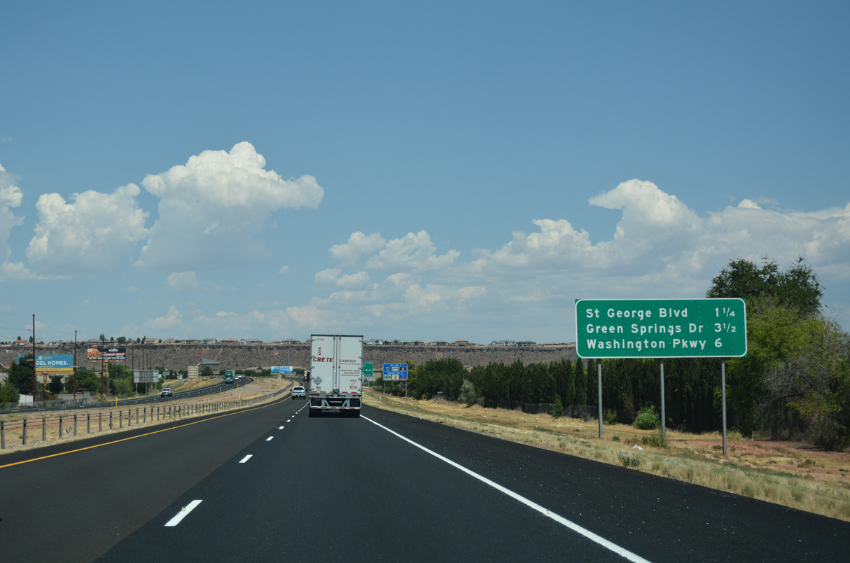
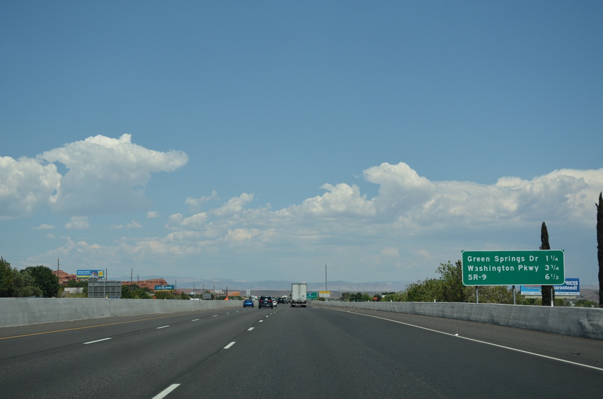
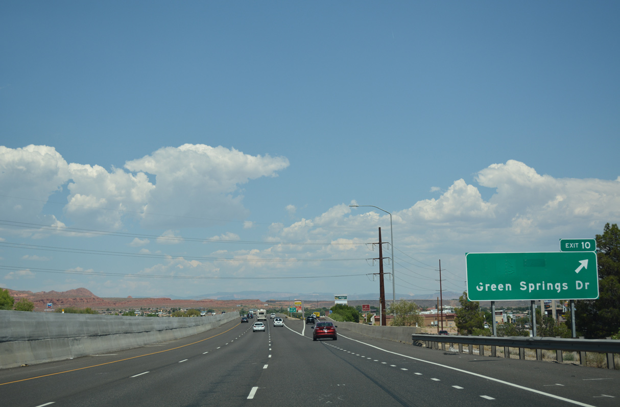
Green Spring Drive south from Exit 10 to Telegraph Street, and Telegraph Street (old U.S. 91) east to 300 West in Washington was designated as SR 212 until 2012. The route was expanded from three to five lanes prior to relinquishment.
07/15/17
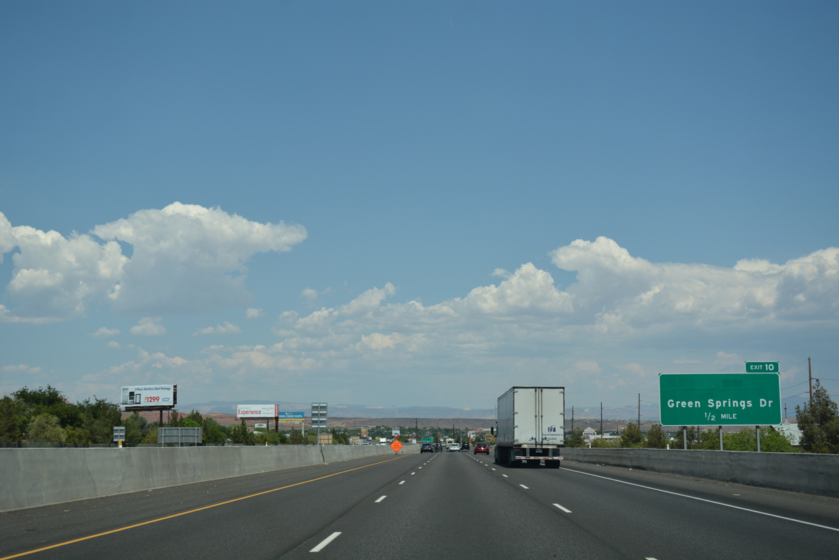
The SPUI at Exit 10 / Green Spring Drive was originally a diamond interchange.
07/15/17
07/15/17
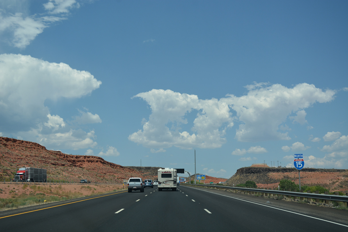
Starting in 2023, construction expanding I-15 to six lanes between mile markers 10 and 13 includes adding an interchange (Exit 11) with Main Street in Washington.2
07/15/17
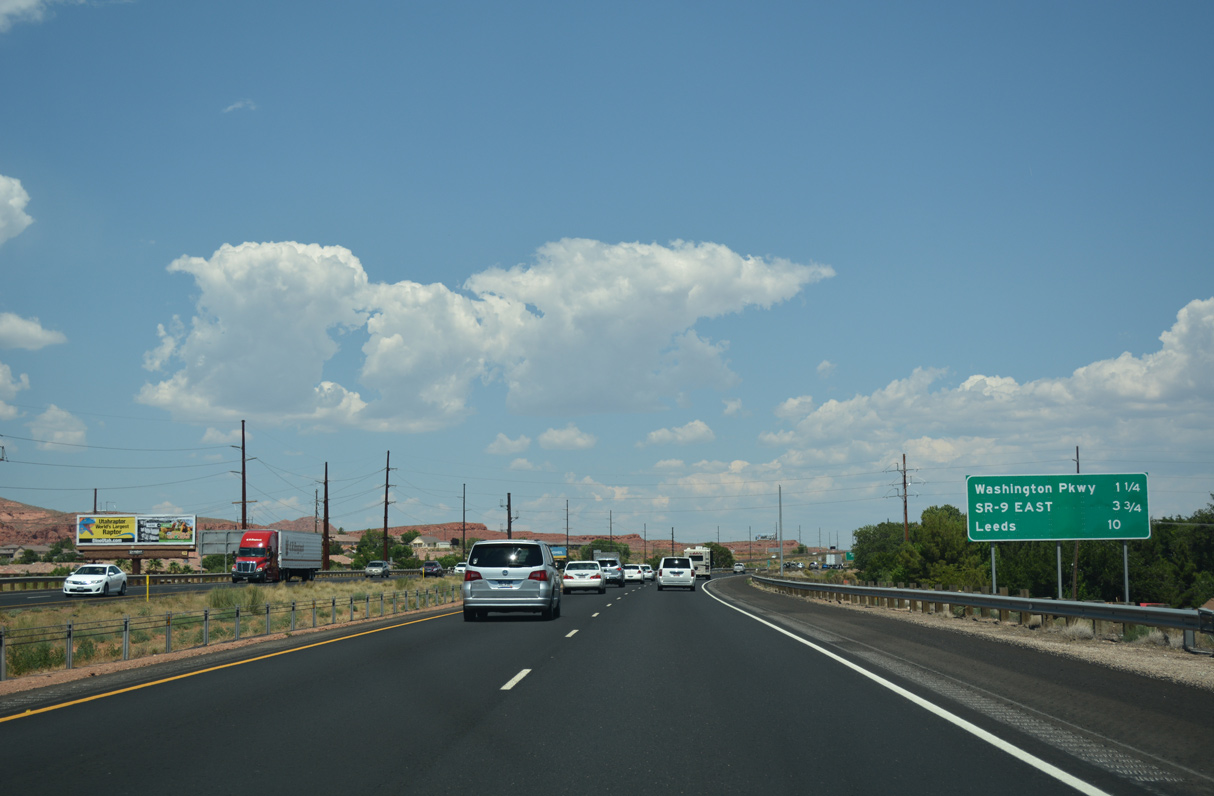
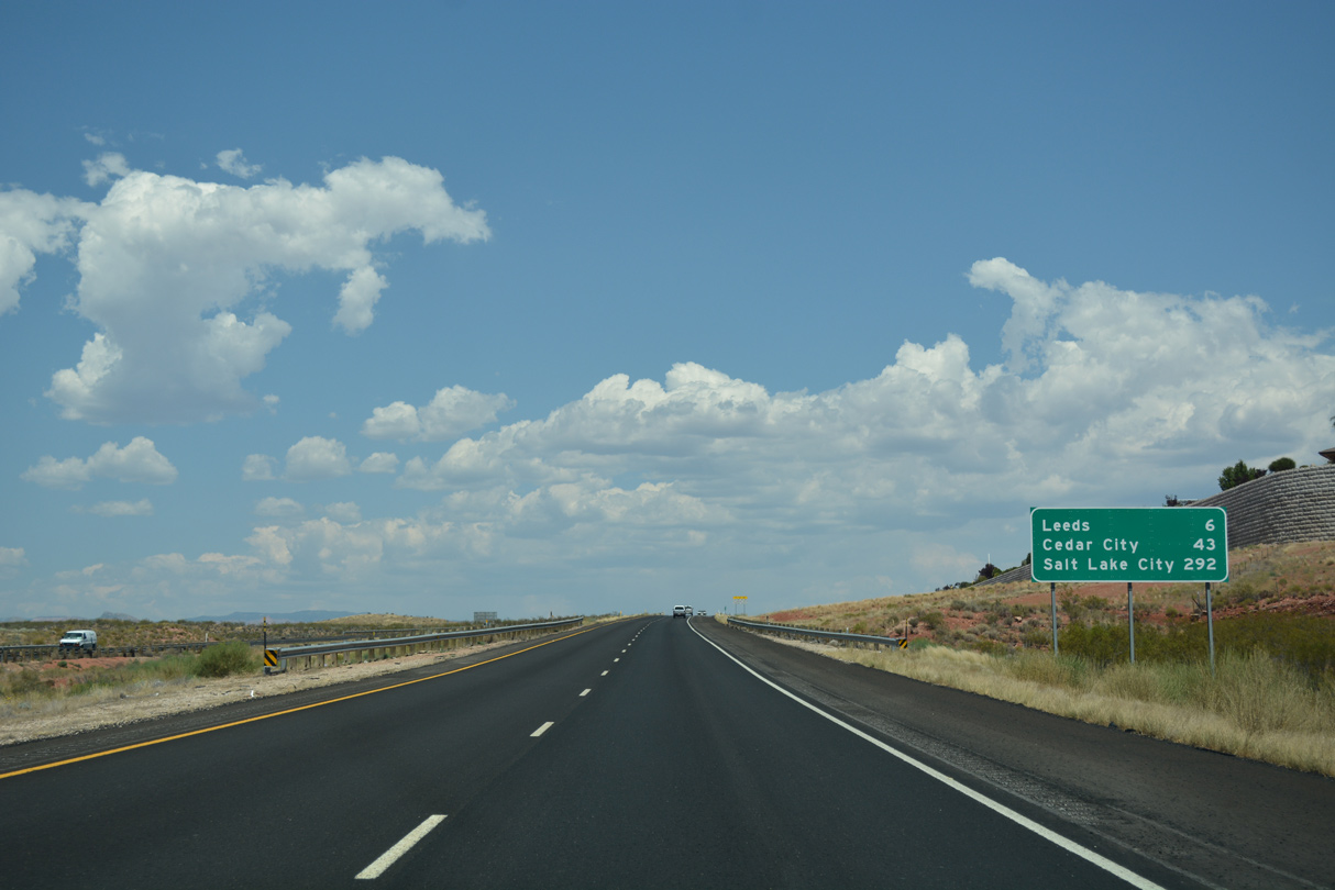
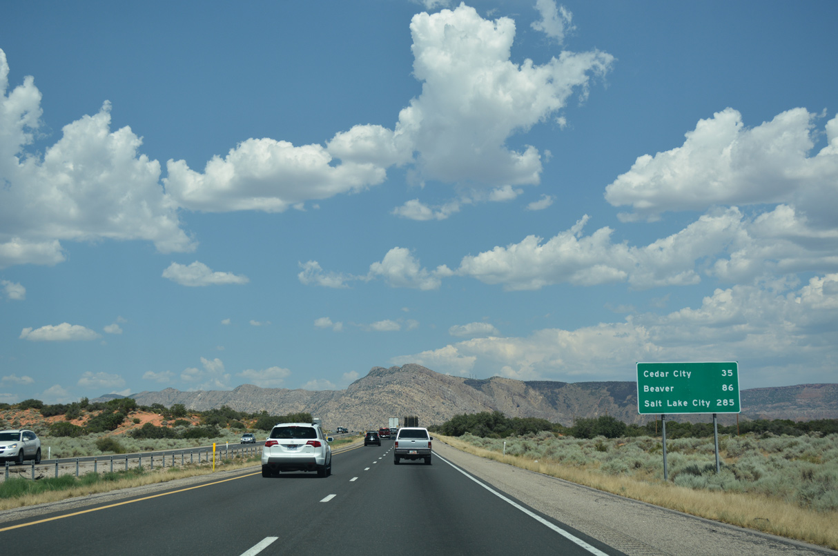
A previous distance sign posted after Exit 10 referenced Cedar City at 45 miles and Salt Lake City at 296 miles in addition to Leeds.
07/15/17
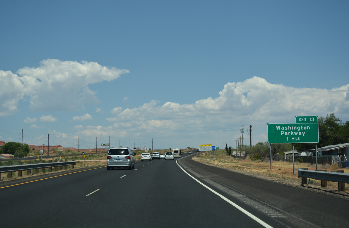
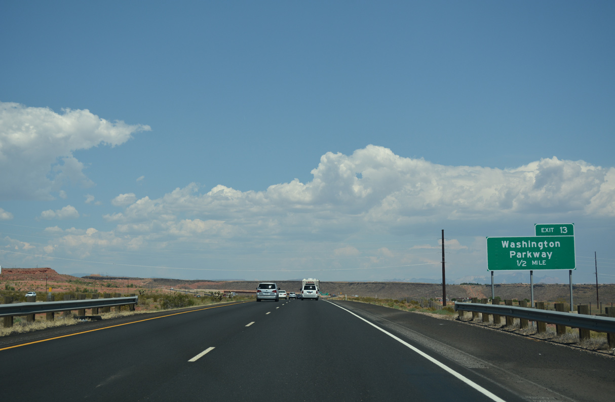
The diamond interchange (Exit 13) with Washington Parkway was completed by 2005.
07/15/17
07/15/17
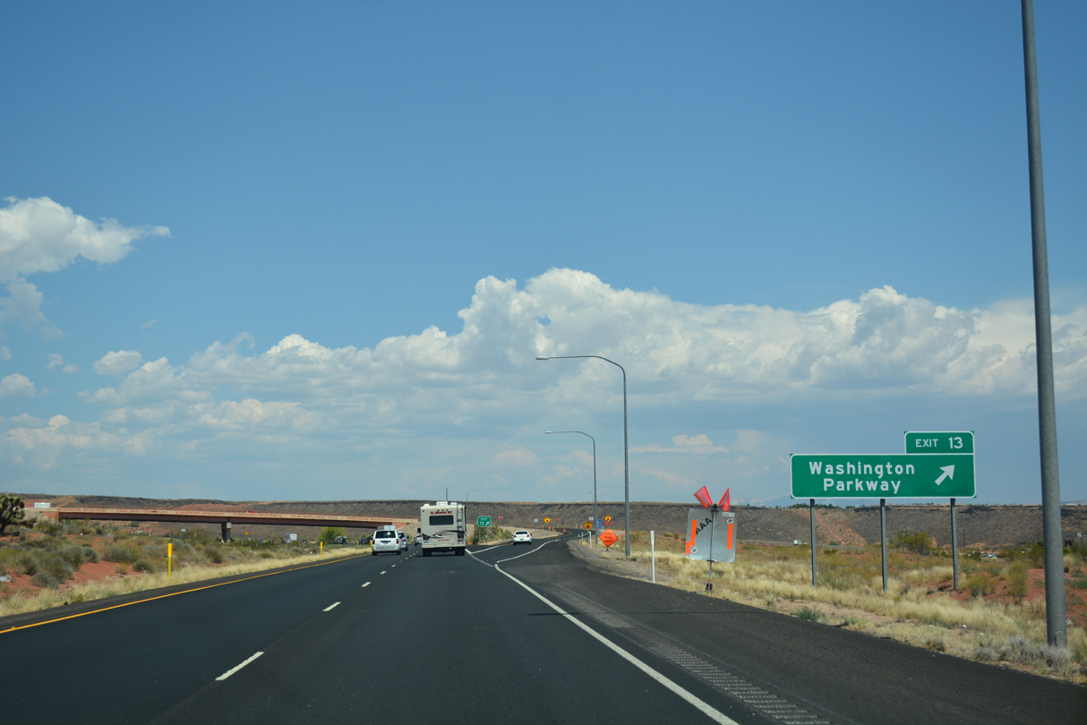
Washington Parkway leads south to Telegraph Street (old U.S. 91) in Washington and west to newer suburban development.
07/15/17
07/15/17
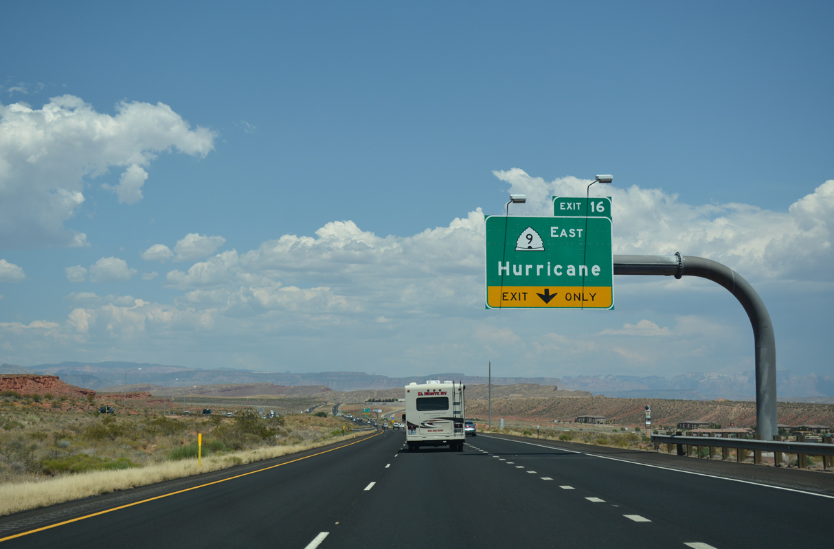
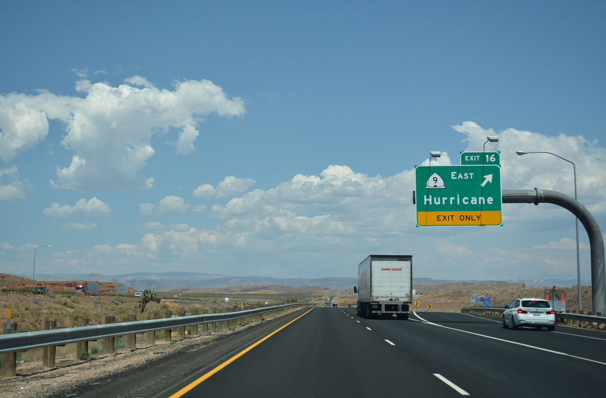
State Route 9 commences a 57.11 mile long route to U.S. 89 at Mt. Carmel Junction from the forthcoming trumpet interchange at Exit 16.
07/15/17
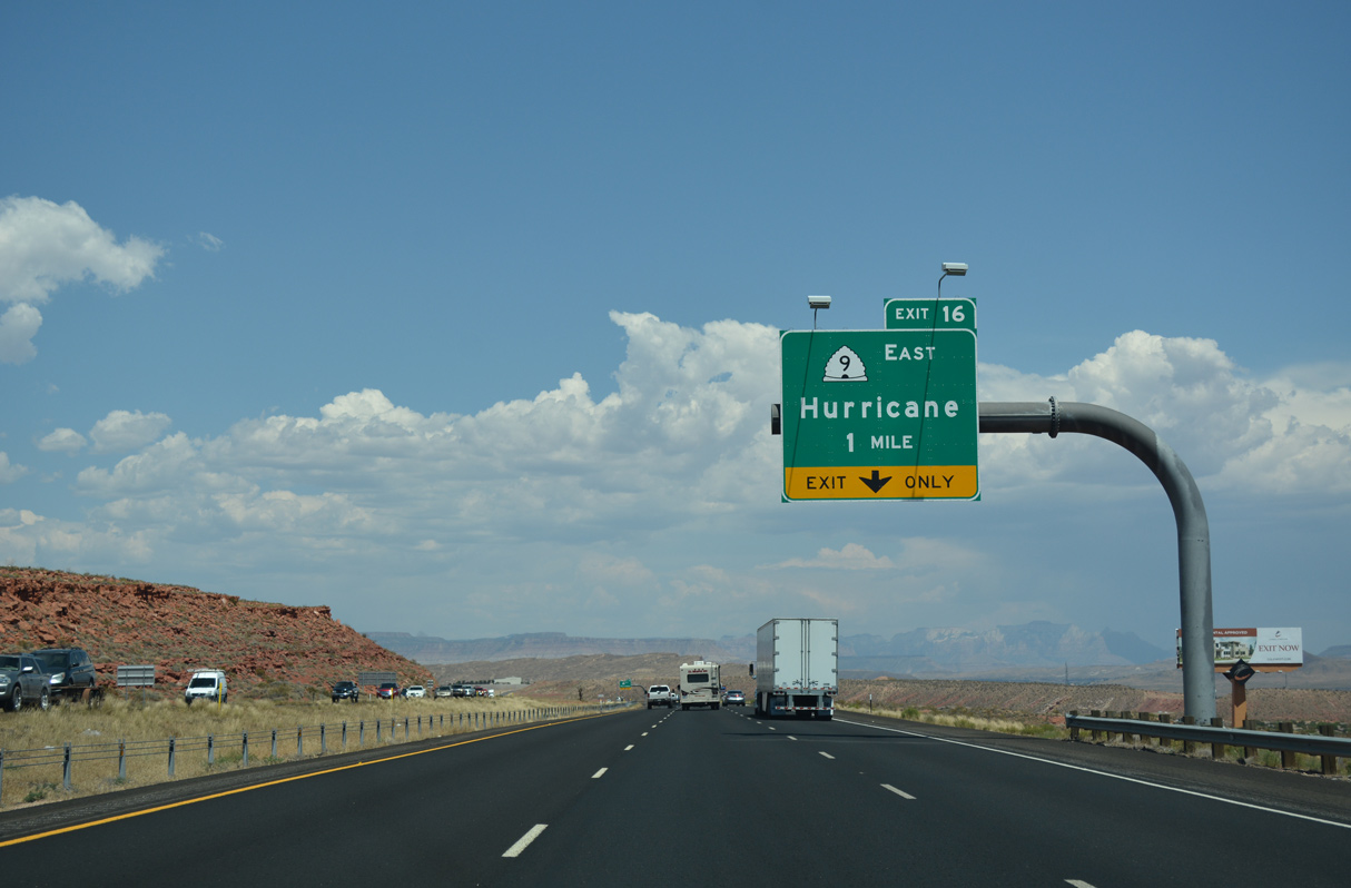
SR 9 connects Interstate 15 with the city of Hurricane and town of Springdale before entering Zion National Park.
07/15/17
SR 9 is also the gateway to Grand Canyon National Park and Glen Canyon National Recreation Area, which includes the reservoir formed by the damming of the Colorado River: Lake Powell. SR 9 to SR 59, U.S. 89 Alternate and Arizona State Route 67 leads to the North Rim of the Grand Canyon.
07/15/17
Open year round with some seasonal closures, Zion National Park is home to a colorful gorge carved by the Virgin River. SR 9 passes through the park via two tunnels and descends to U.S. 89 at Mt. Carmel on the eastern slope of the Markagunt Plateau.
07/15/17
07/15/17
07/15/17
08/09/14
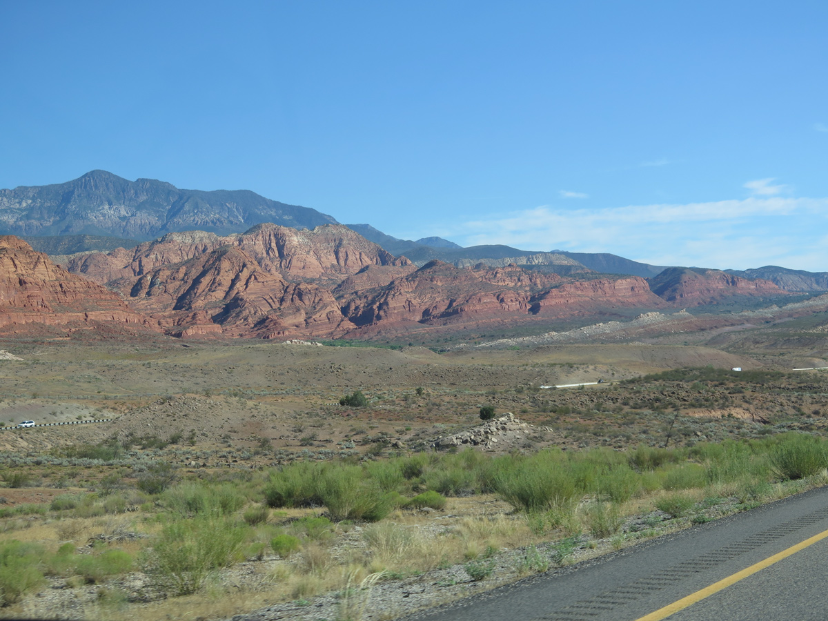
White Reef and Red Reef rise to the west of Interstate 15 beyond mile marker 21.
08/09/14
The roadways for Interstate 15 separate with a wide median just west of Harrisburg Bench and Quail Creek Reservoir.
07/15/17
08/09/14
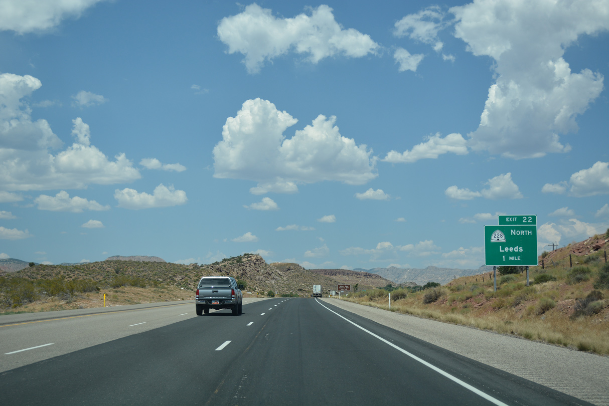
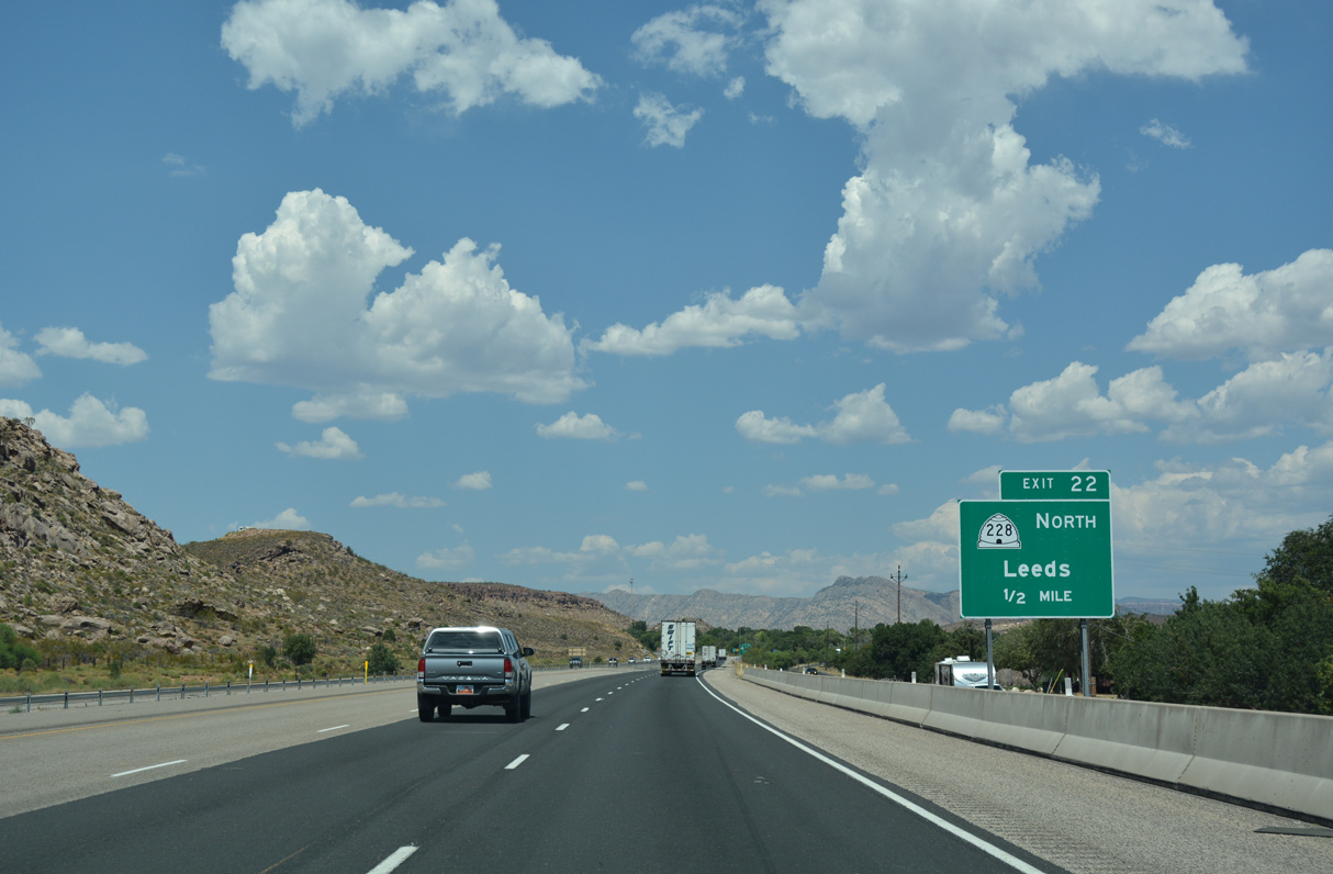
SR 228 loops 1.81 miles east from I-15 along old U.S. 91 between Exit 22 and 23 through the town of Leeds.
07/15/17
The Silver Reef Historic Site lies northwest from SR 228 along Silver Reef Road. The Silver Reef is particularly famous for having the only known instance in the world where silver intruded into a sandstone formation.
07/15/17
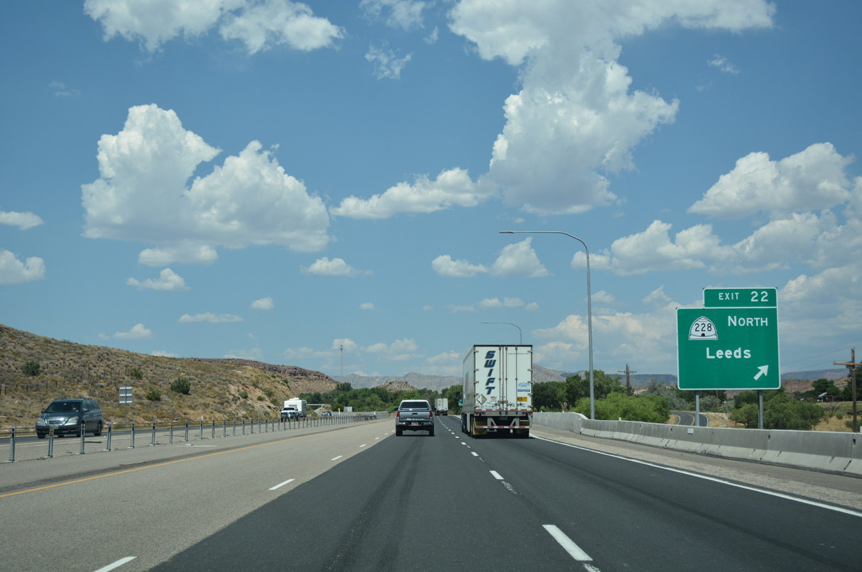
A split diamond interchange (Exits 22/23) connects I-15 with SR 228 (Main Street) at Old Highway 91 and Silver Reef Road.
07/15/17
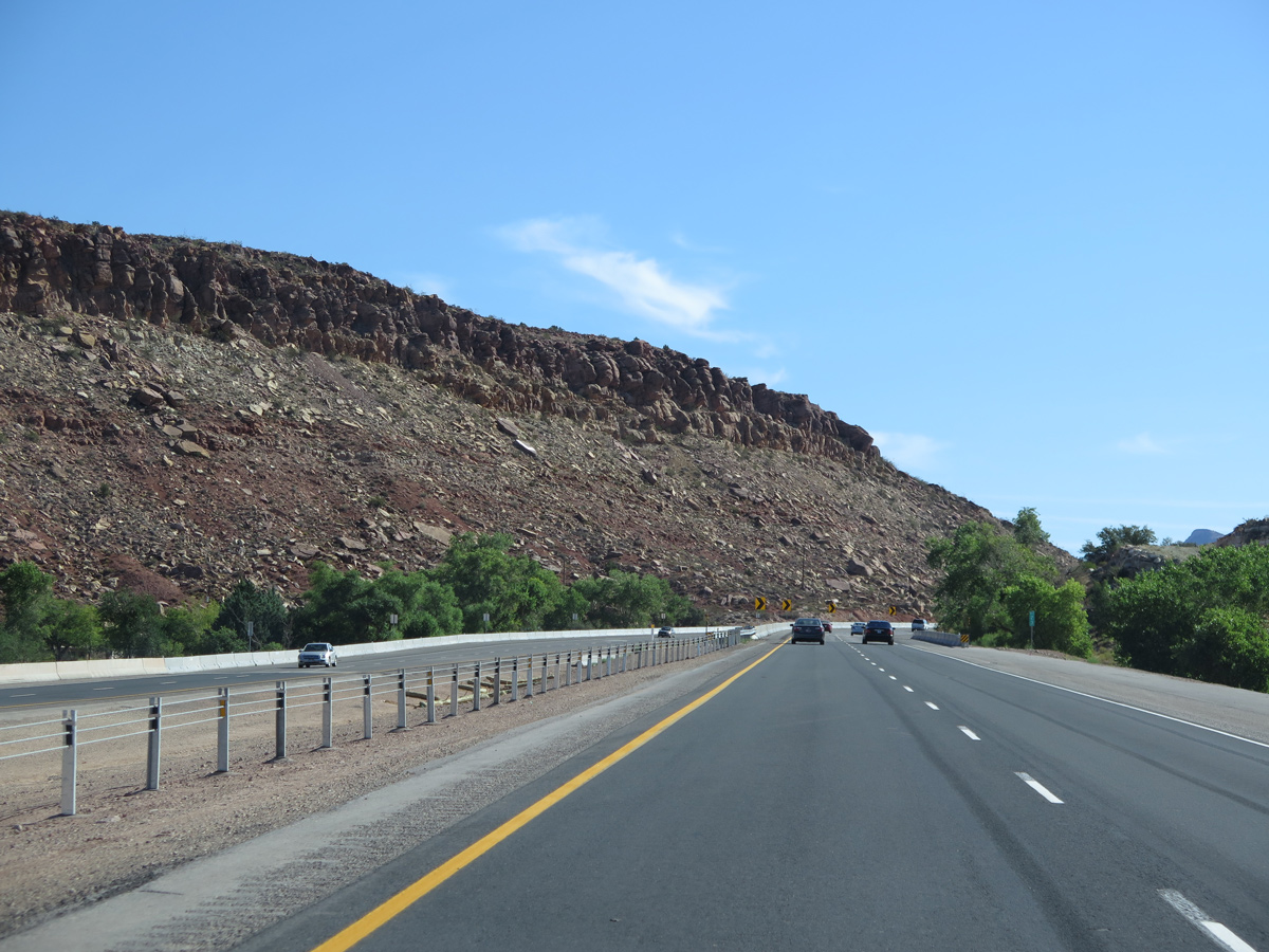
Interstate 15 passes east of Big Hill (el, 3,734 feet) and Tecumseh Hill (el, 3.773 feet) beyond mile marker 23.
08/09/14
Main Street / Old Highway 91 continues along the east side of Interstate 15 through northern reaches of Leeds.
07/15/17
07/15/17
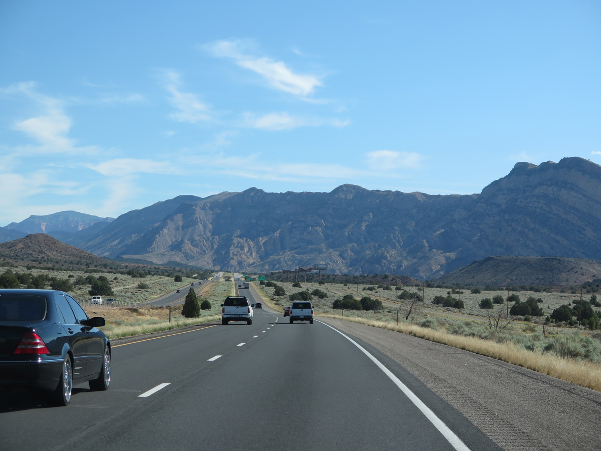
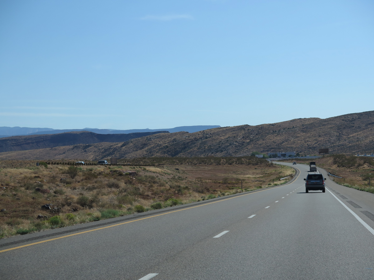
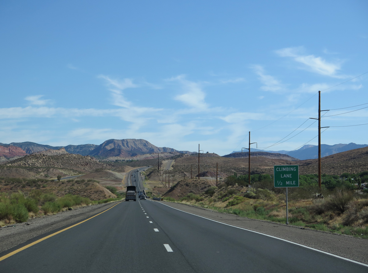
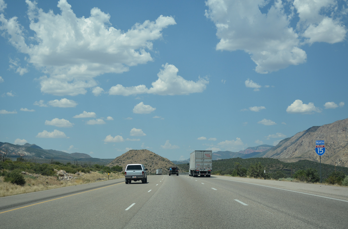
Advancing north, I-15 passes between the Pine Valley Mountains and Hurricane Cliffs. The freeway ascends from 2,800 feet to 5,800 feet above sea level between St. George and Cedar City.
08/09/14
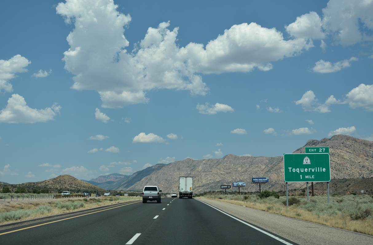
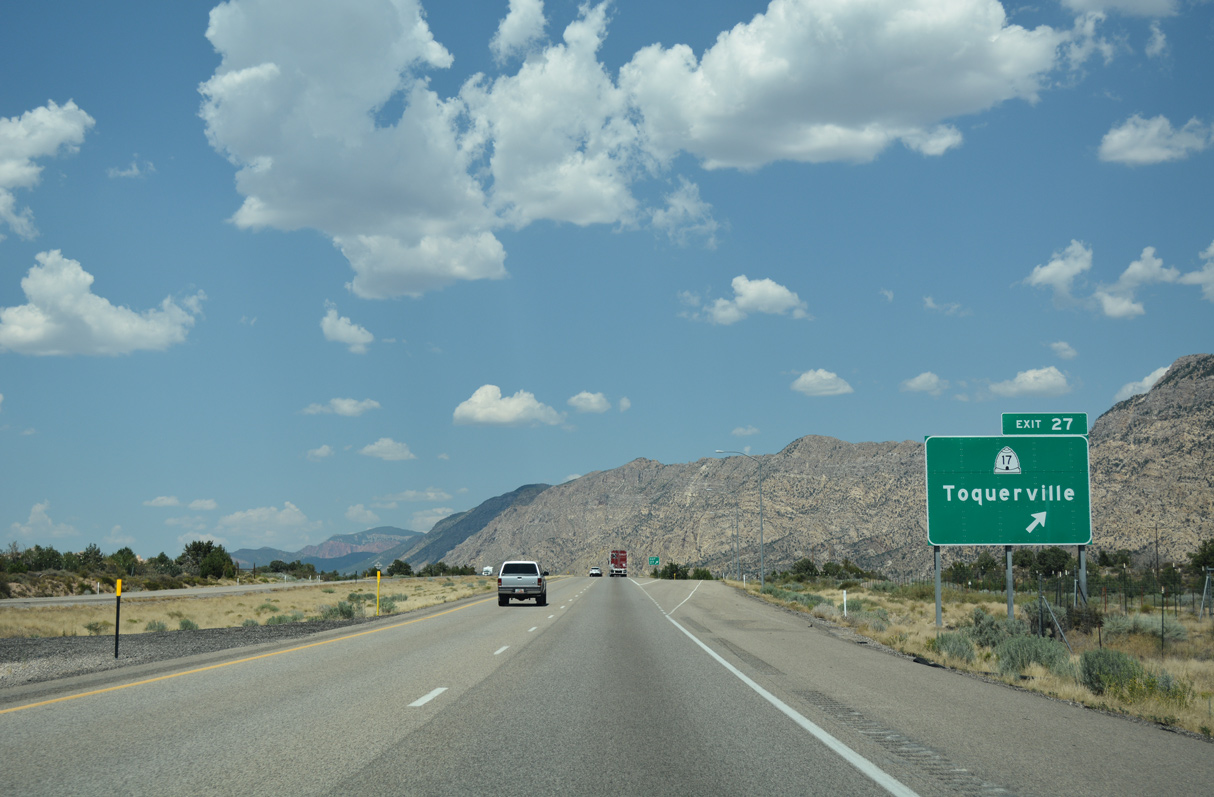
A modified diamond interchange (Exit 27) joins I-15 with the north end of SR 17 at Anderson Junction.
07/15/17
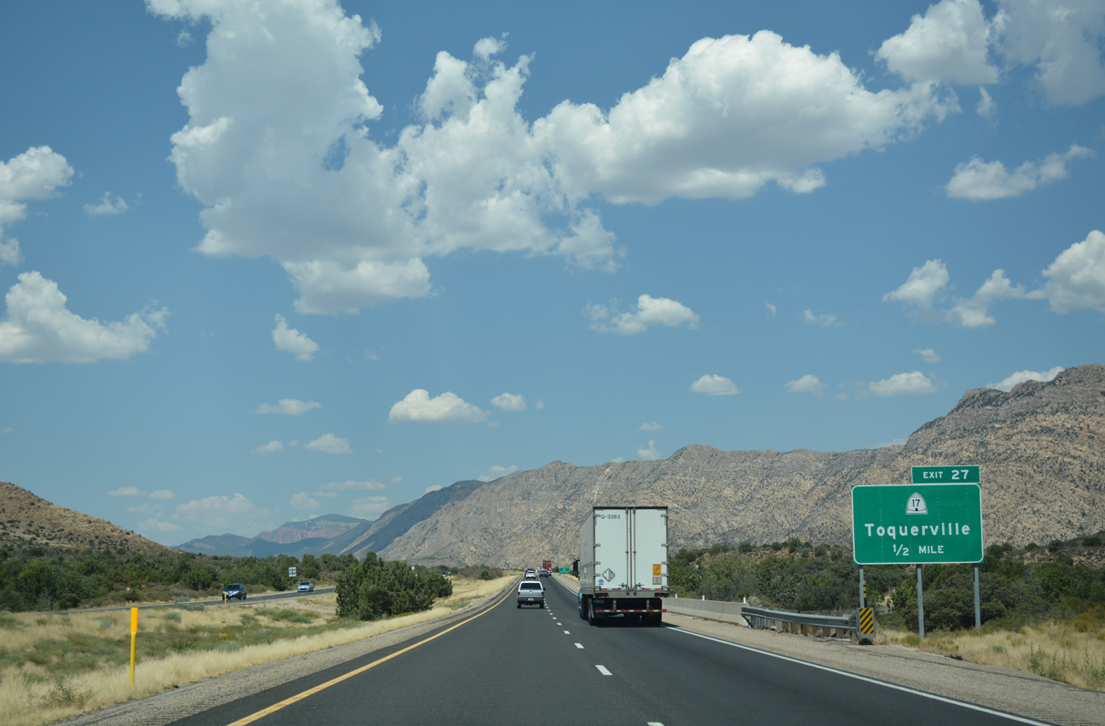
SR 17 constitutes a 6.06 mile long route south from the city of Toquerville to SR 9 in the city of La Verkin.
07/15/17
SR 17 provides an alternate route from Interstate 15 to SR 9 for Zion National Park. Construction starting on February 24, 20223 realigns SR 17 onto Toquierville Parkway, a new 4.5 mile long, four lane at-grade bypass along the west side of Toquierville.
07/15/17
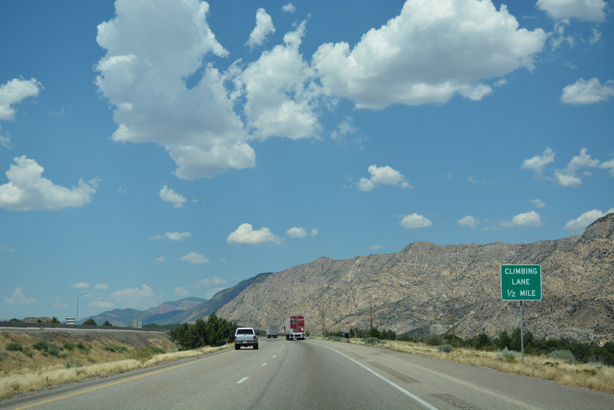
Interstate 15 traverses the eastern foothills of the Pine Valley Mountains, which are part of Dixie National Forest.
07/15/17
Interstate 15 advances north between Zion National Park to the east and a unit of Dixie National Forest to the west.
07/15/17
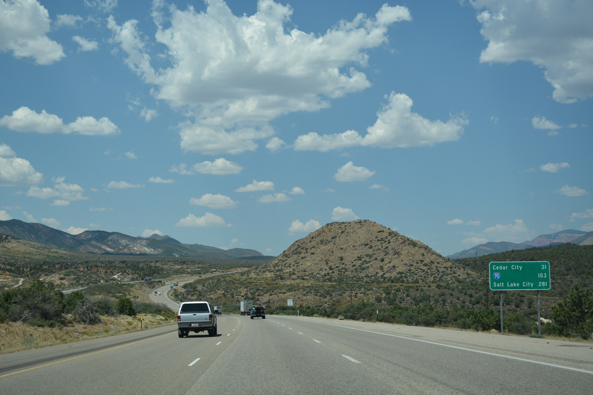
The first reference for the west end of Interstate 70 on I-15 north appears 103 miles south of Cove Fort. A previous distance sign posted here listed Cedar City at 28 miles, Fillmore at 137 miles and Salt Lake at 280 miles.
07/15/17
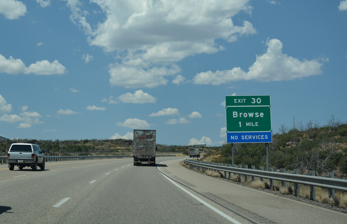
A parclo interchange at Exit 30 links with Old Highway 91 north at Browse.
07/15/17
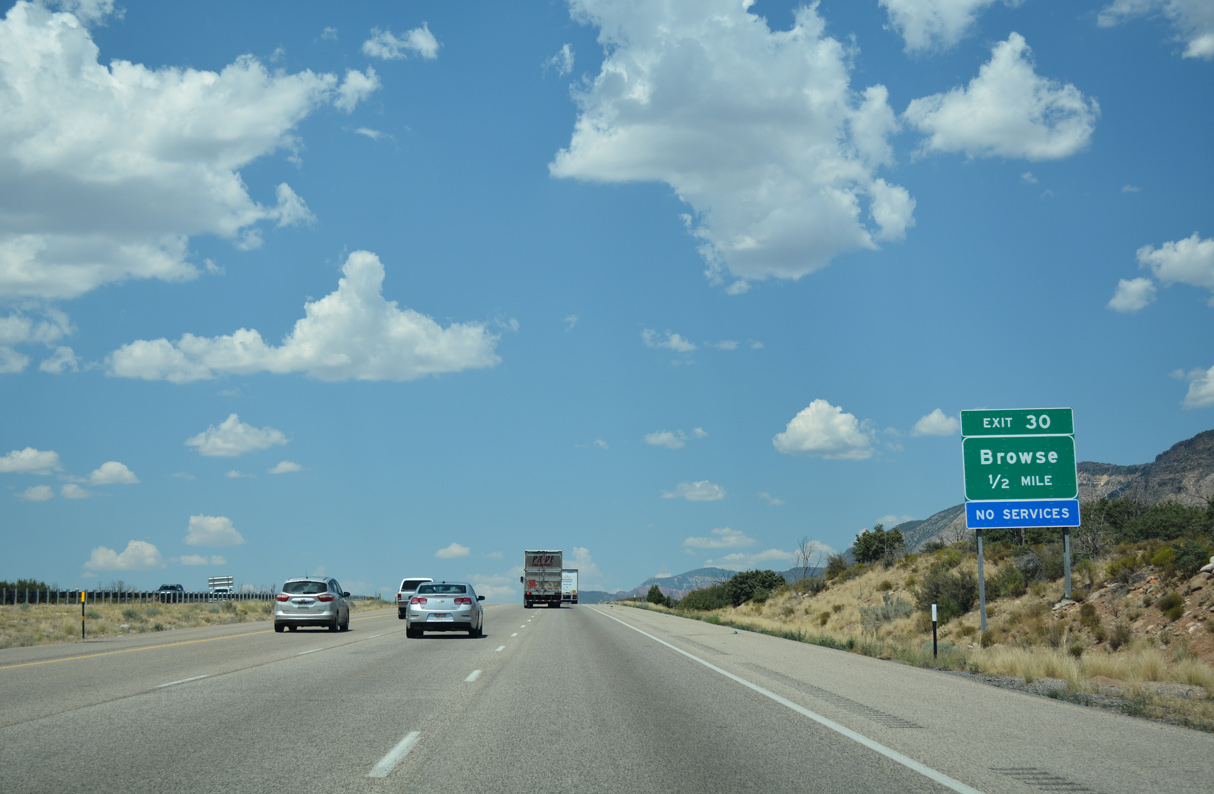
The Toquerville city limits extend northward along Interstate 15 to Exit 30.
07/15/17
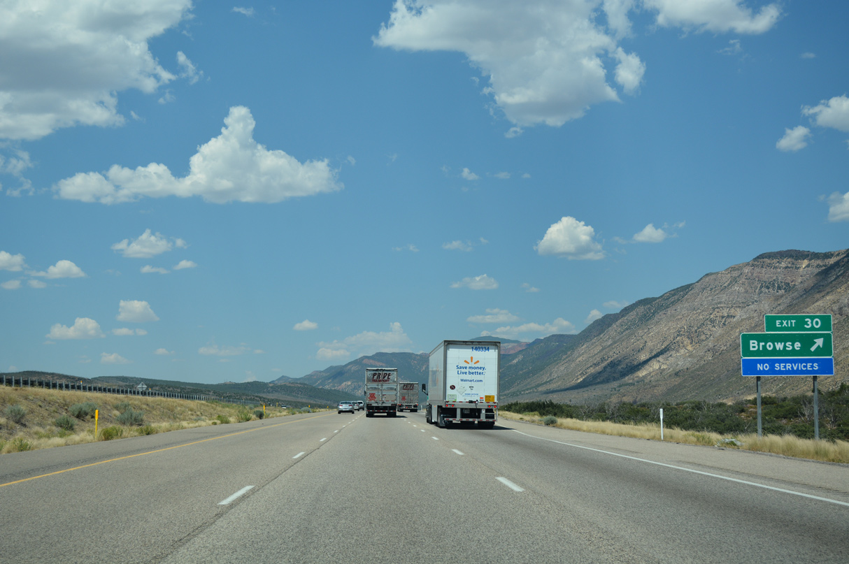
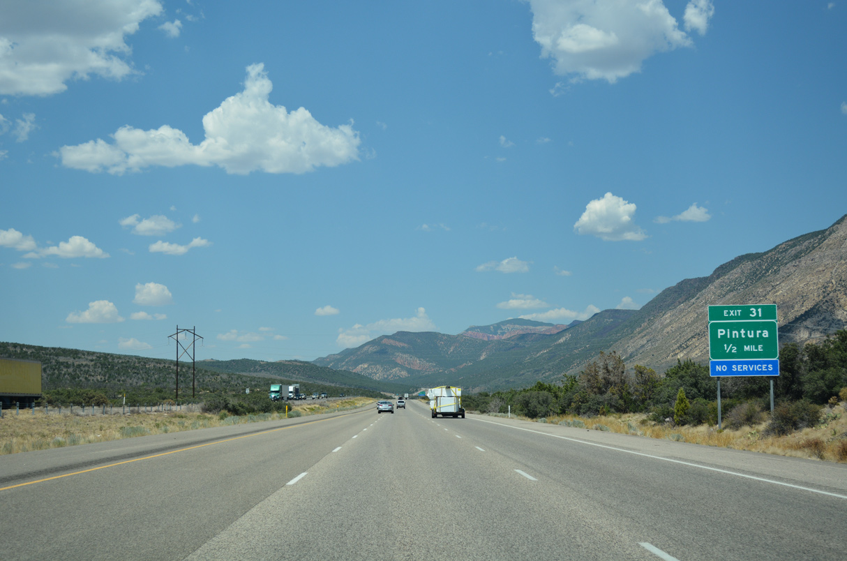
Old U.S. 91 parallels I-15 north from Browse to Pintura.
07/15/17
07/15/17
08/09/14
07/15/17
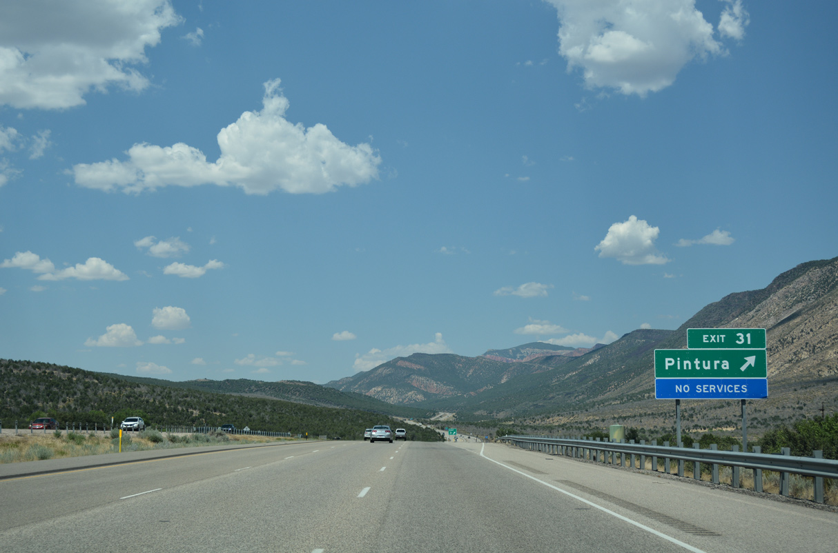
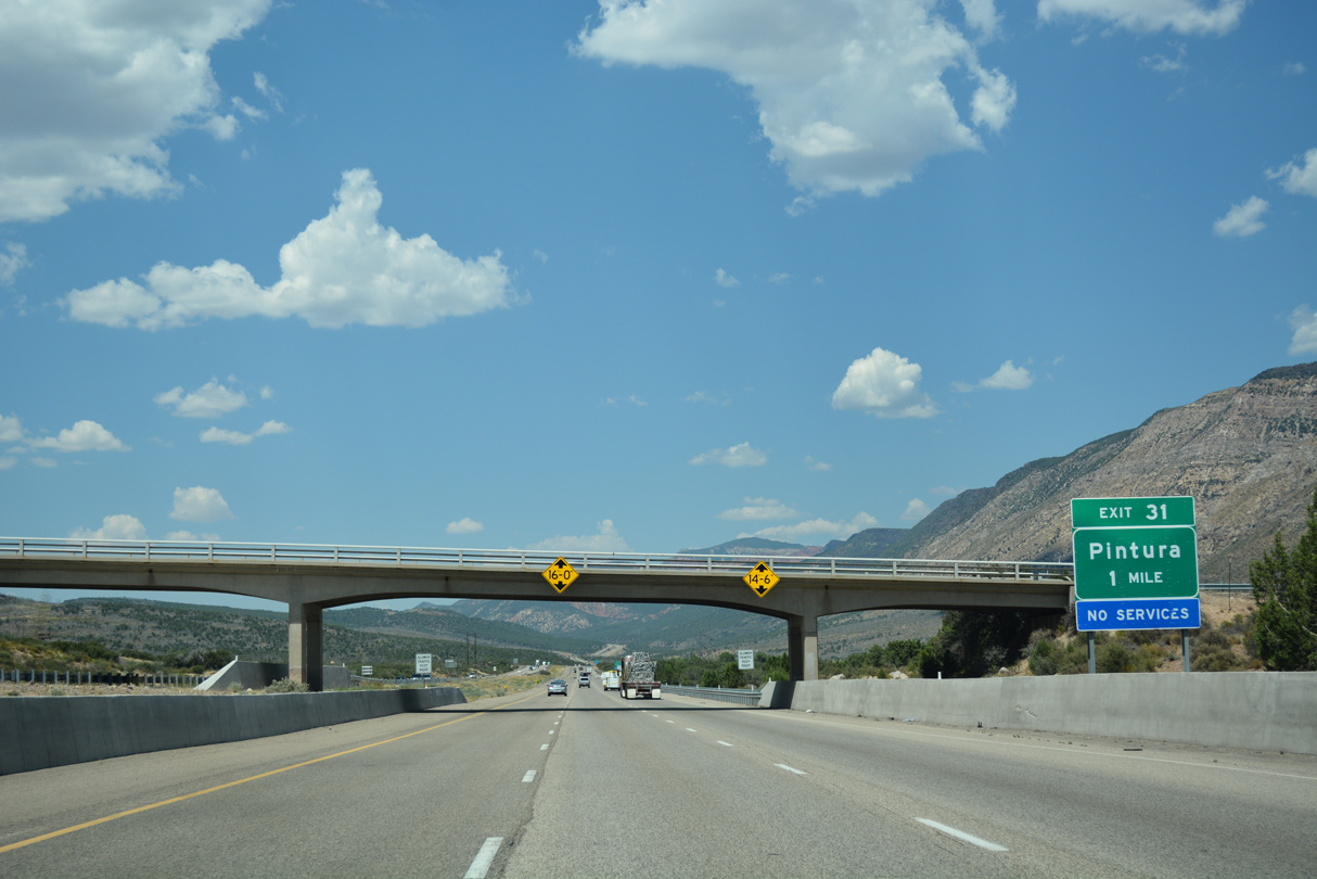
The diamond interchange at Exit 31 connects with parallel Old Highway 91 (100 East) at the unincorporated community of Pintora.
07/15/17

Sources:
- "Officials announce completion and opening date of final segment of Southern Parkway." St. George News (UT), April 29, 2021.
- "Dixie Transportation Expo highlights projects on I-15 and in St. George and surrounding municipalities." St. George News (UT), February 10, 2022.
- "Toquerville Parkway Groundbreaking event." City of Toquierville, blog. February 4, 2022.
Photo Credits:
08/12/11, 08/09/14, 07/15/17 by AARoads
Connect with:
Business Loop I-15 / State Route 34 - St. George
State Route 7 - Southern Parkway
State Route 18
Former State Route 212
Page Updated 02-19-2022.