
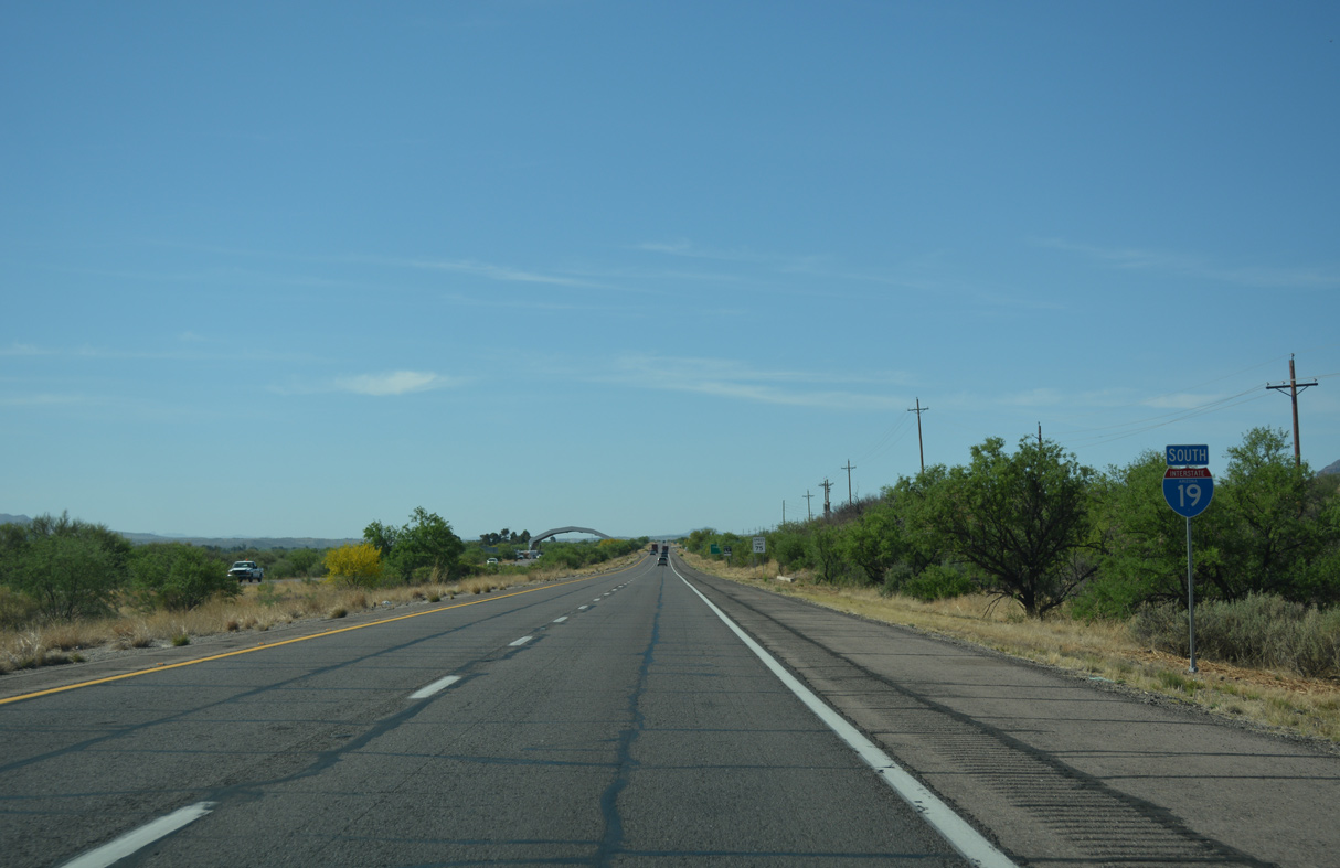
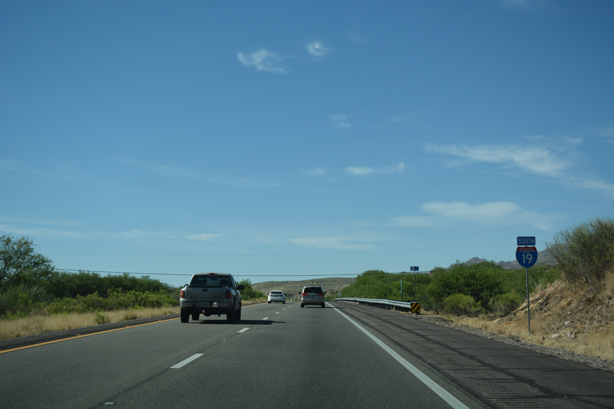
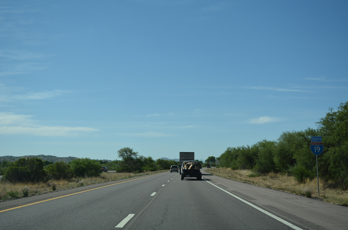
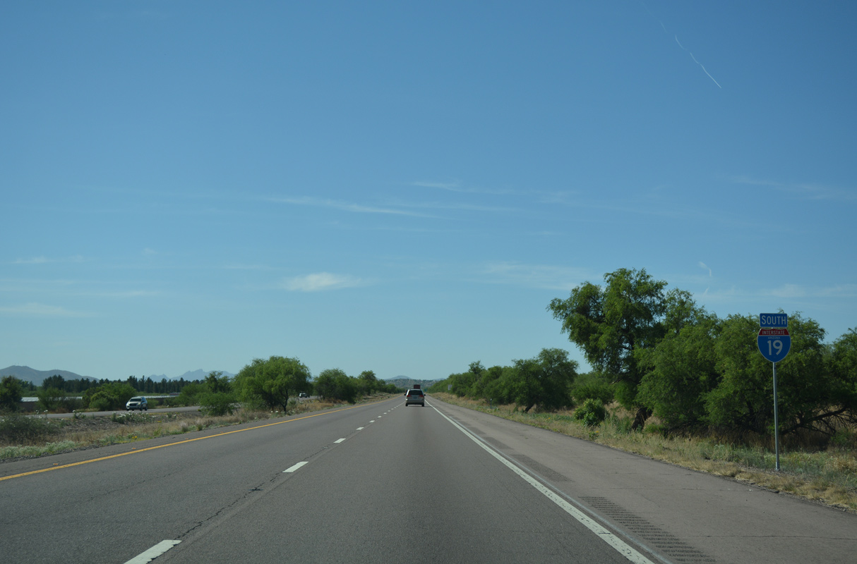
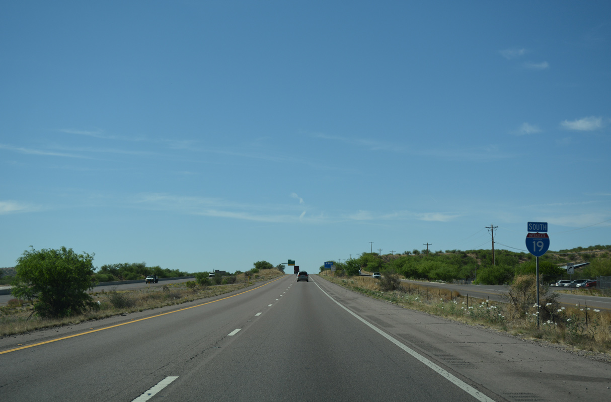
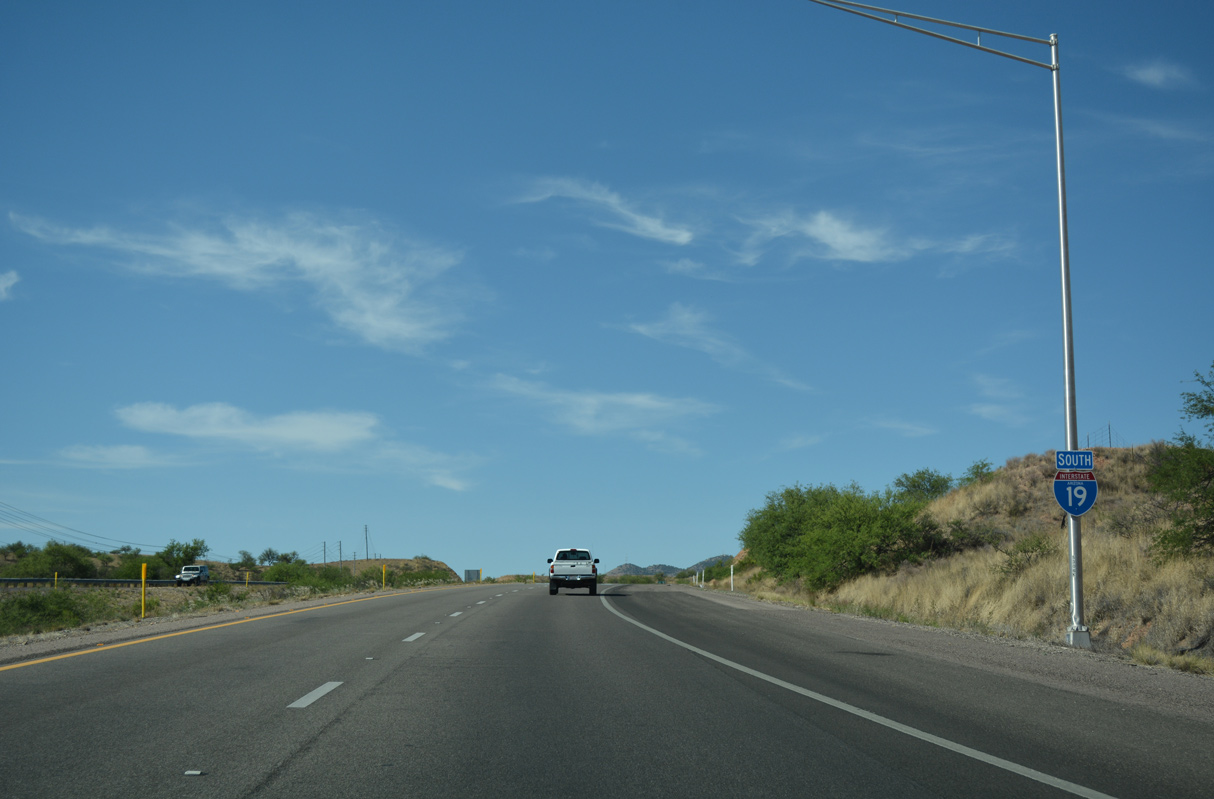
 South
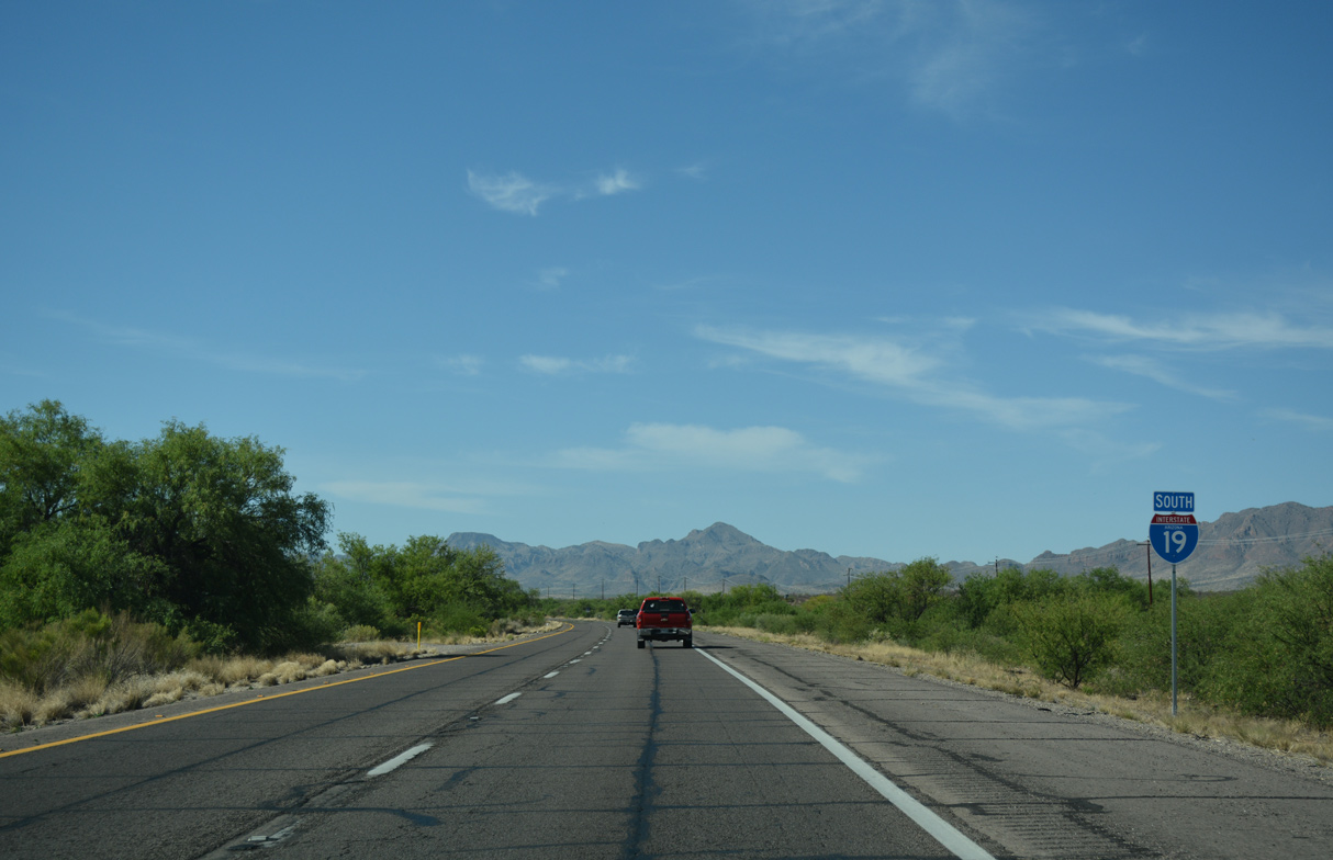
South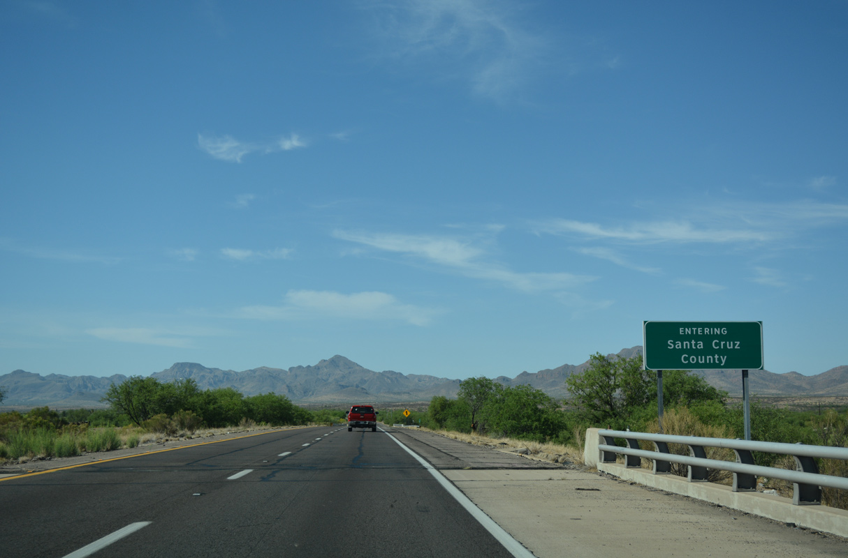
Interstate 19 crosses the Santa Cruz County line at the Arivaca Road underpass, and ahead of Sopori Wash.
04/26/17
Confirming marker posted south of Sopori Wash.
04/26/17
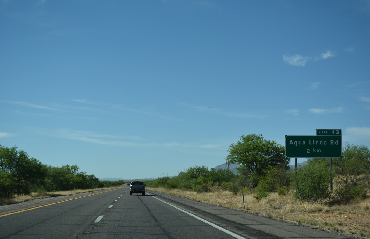
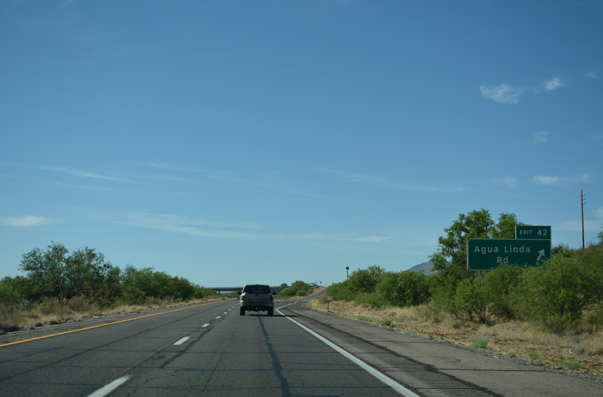
Interstate 19 continues south by Amado to a diamond interchange (Exit 42) with Agua Linda Road.
04/26/17
04/26/17
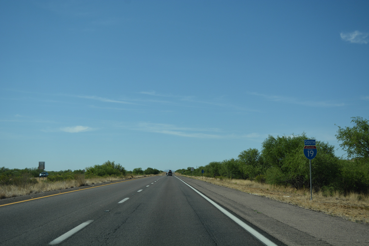
Interstate 19 crosses Las Chivas Wash beyond this southbound confirming marker.
04/26/17
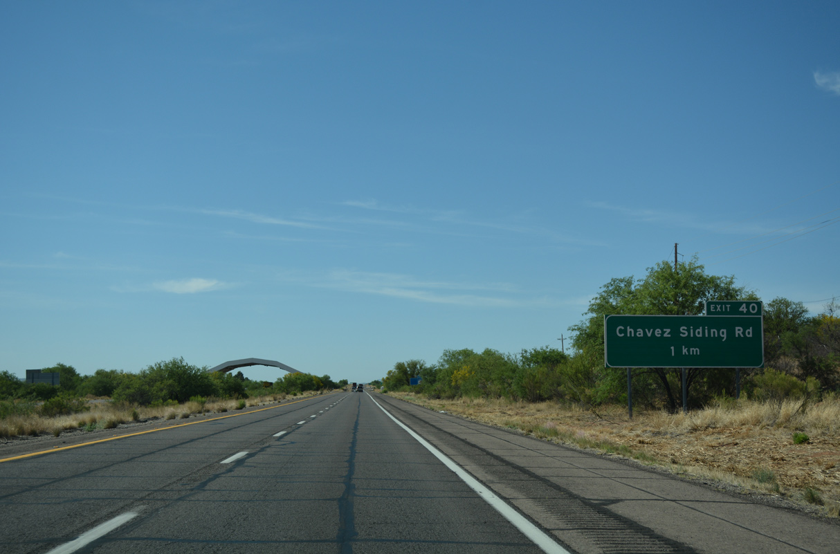
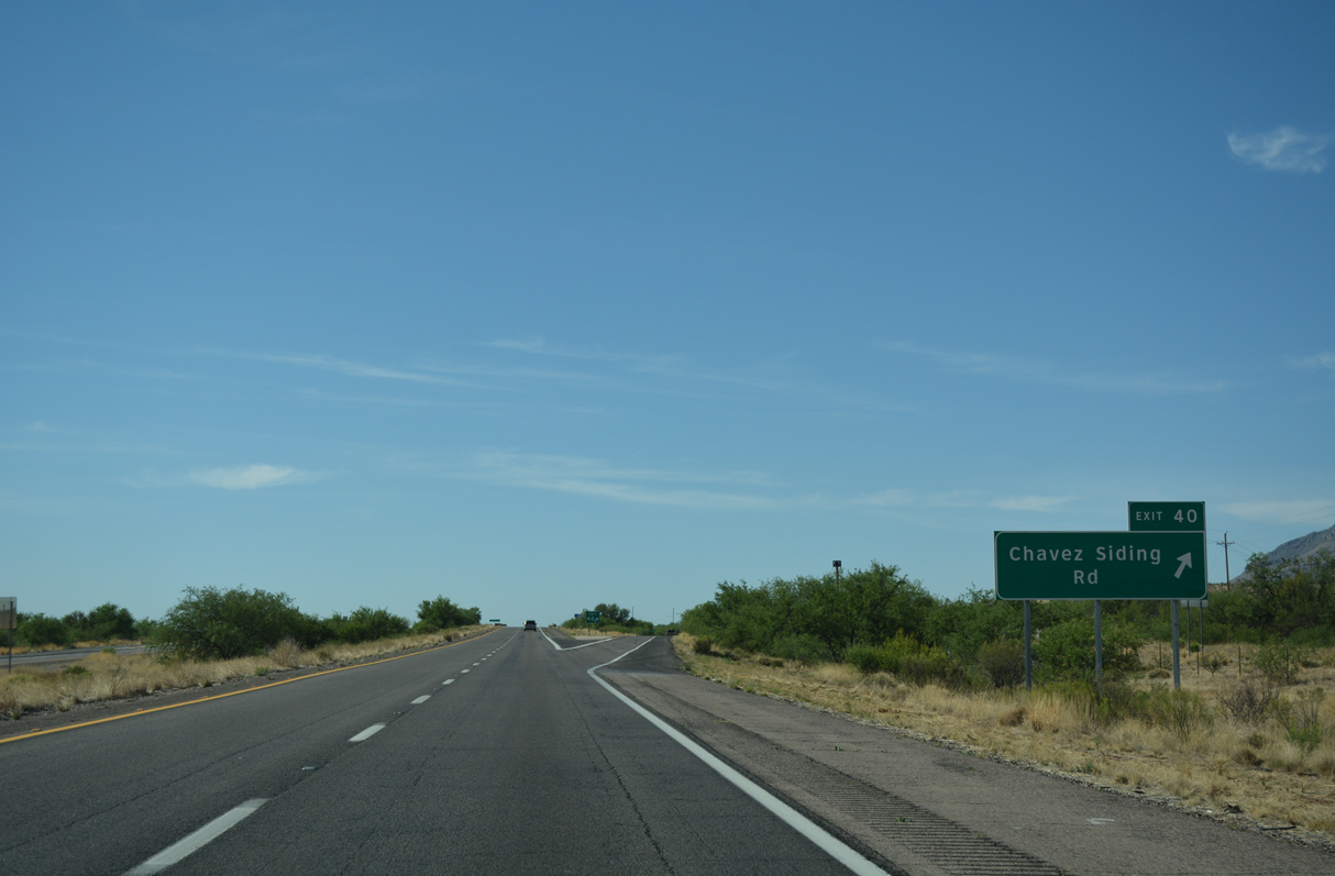
Exit 40 joins I-19 with Chavez Siding Road to the adjacent frontage roads midway between Agua Linda and Tubac.
04/26/17
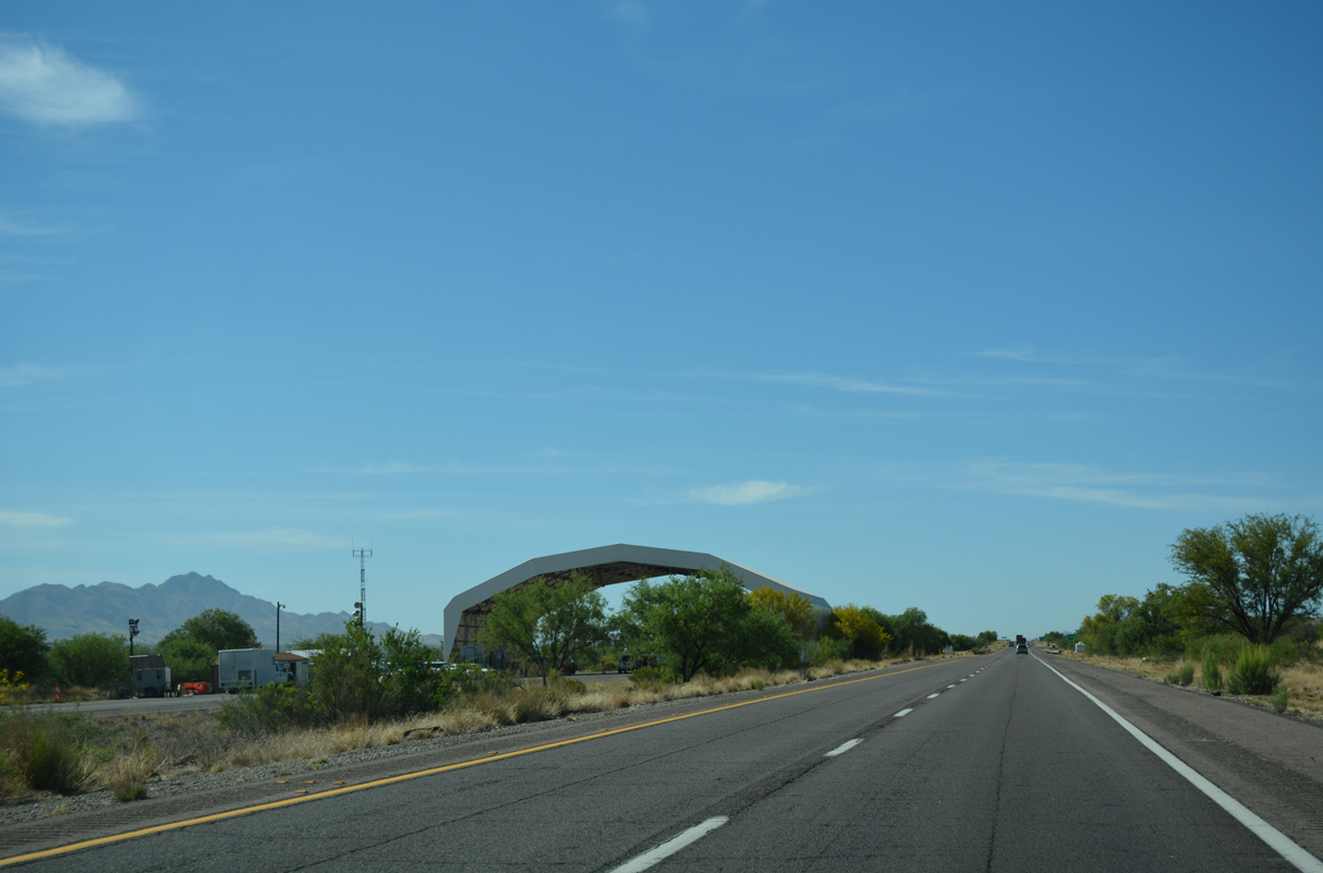
The US Border Patrol Checkpoint for Interstate 19 northbound is located north of Exit 40.
04/26/17
04/26/17
Advancing south, Interstate 19 passes east of Puerto Canyon on the ensuing stretch.
04/26/17
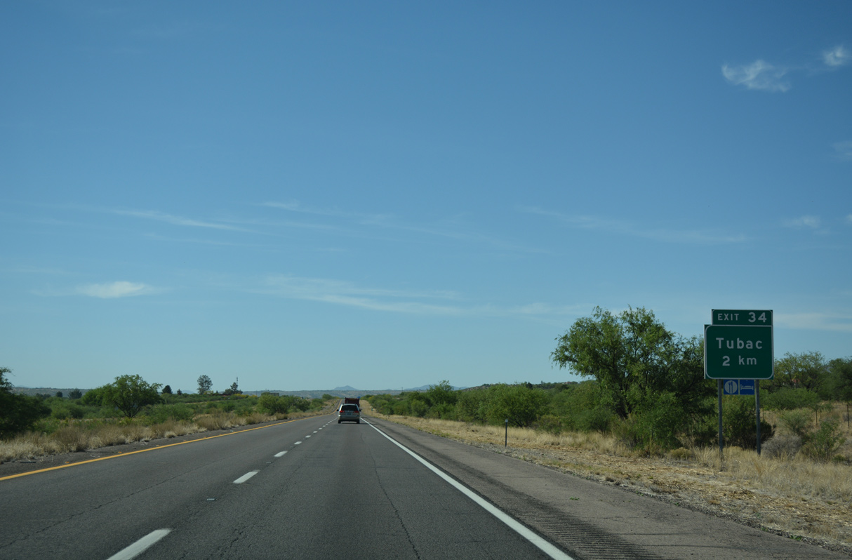
The diamond interchange at Exit 34 lies within the community of Tubac.
04/26/17
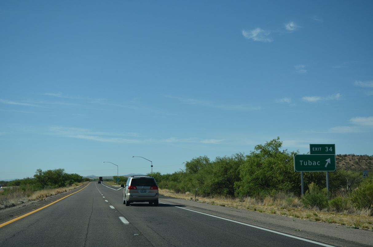
Southbound Interstate 19 at Exit 34 for Tubac and Tubac State Historical Park. This exit connects to former U.S. 89 through Tubac, Carmen and Tumacacori.
04/26/17
The old highway stays close to the Santa Cruz River.
04/26/17
04/26/17
04/26/17
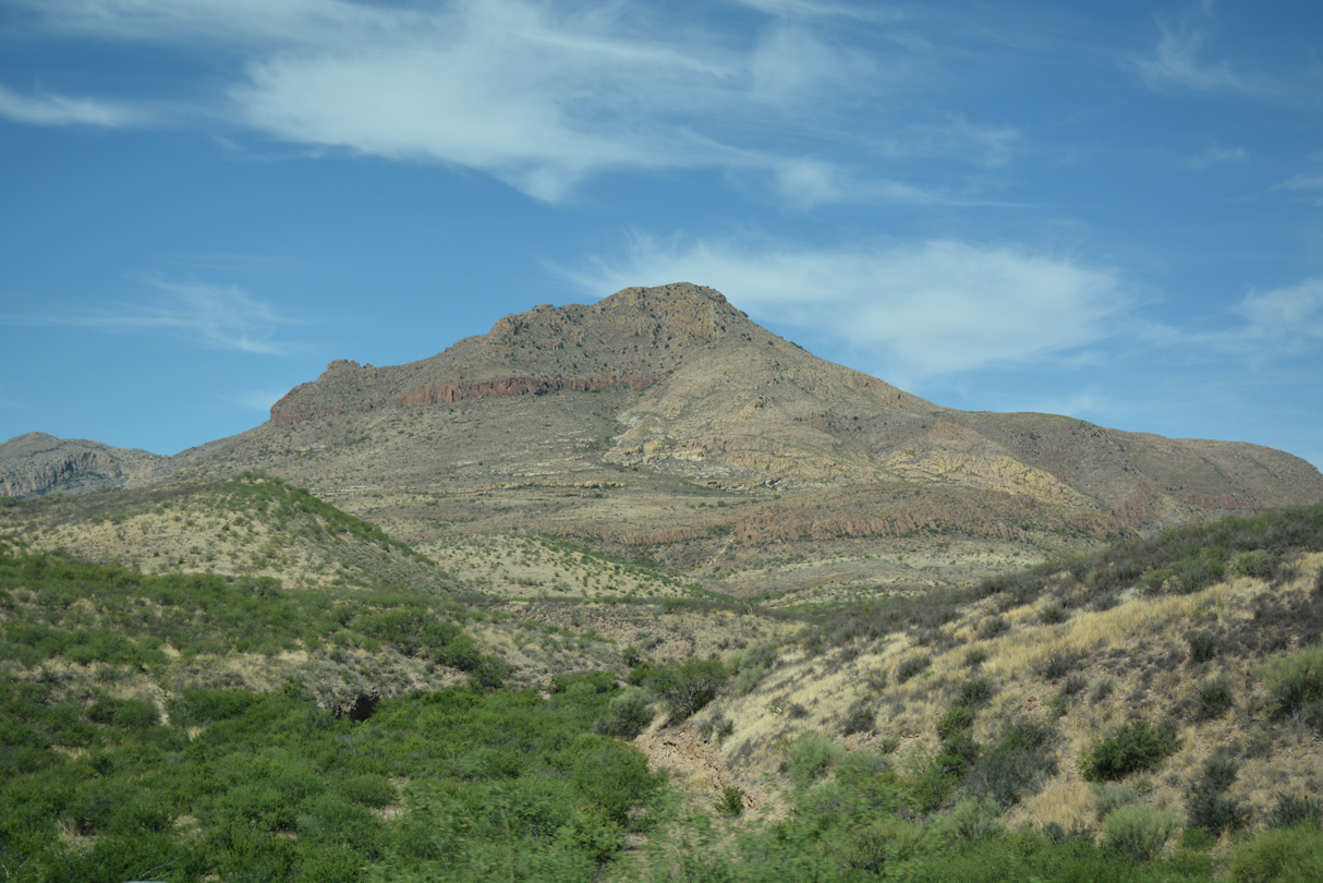
Tumacacori Peak rises west of Interstate 19 within the Tumacacori Mountains.
04/26/17
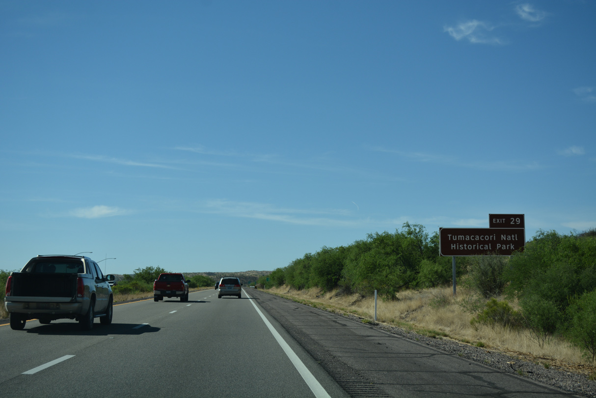
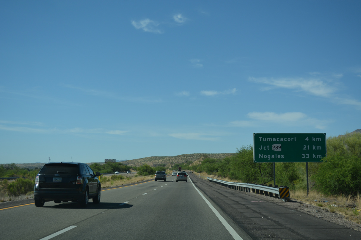
Tumacacori National Historic Park is located just east of Interstate 19 at Exit 29, adjacent to the Santa Cruz River. 07/26/08
04/26/17
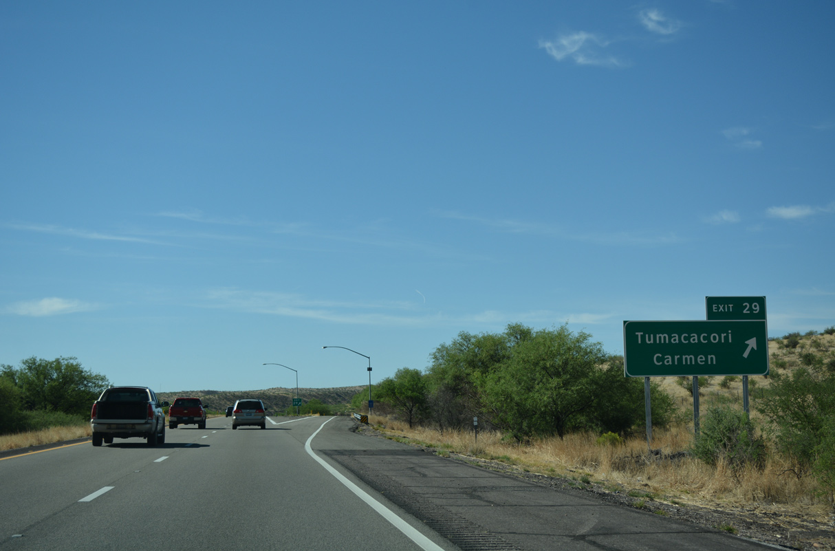
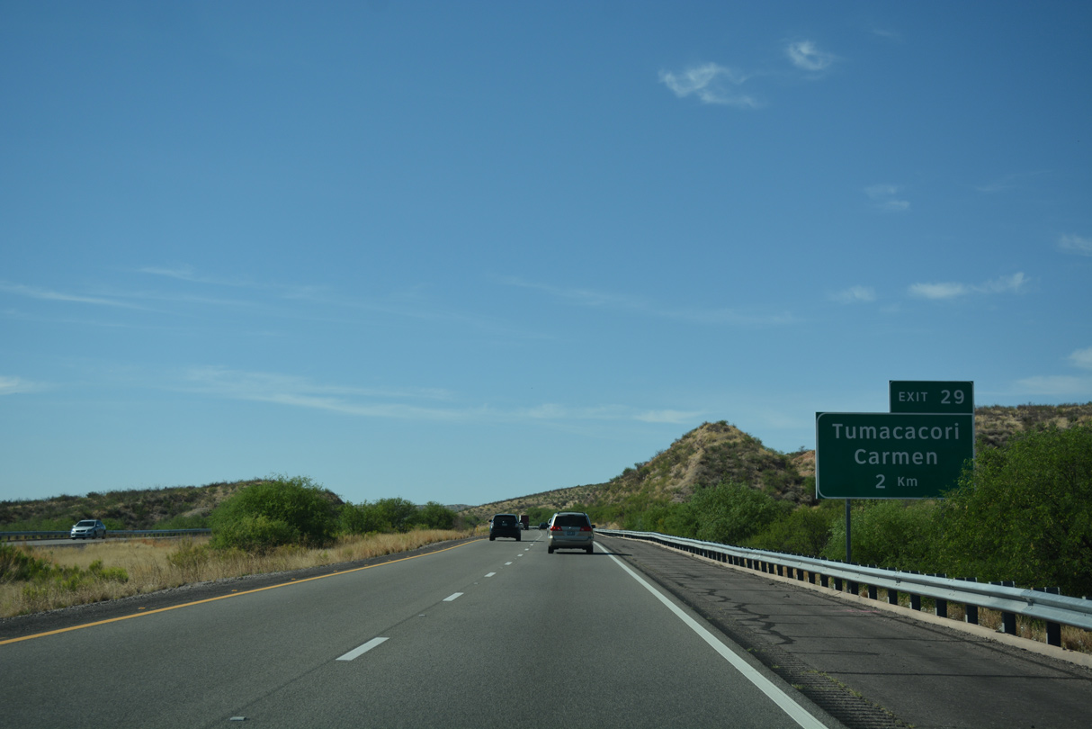
Southbound Interstate 19 at Exit 29 for Tumacacori and Carmen. Exit 29 connects with an old section of U.S. 89 just east of Rock Corral Canyon.
04/26/17
Paralleling the Santa Cruz River, Interstate 19 turns southeast at Tinaja Canyon.
04/26/17
04/26/17
04/26/17
Coronado National Forest lies west of Interstate 19 between Kilometerpost 40 and the International border.
04/26/17
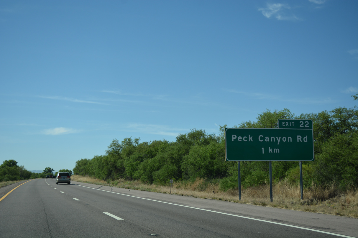
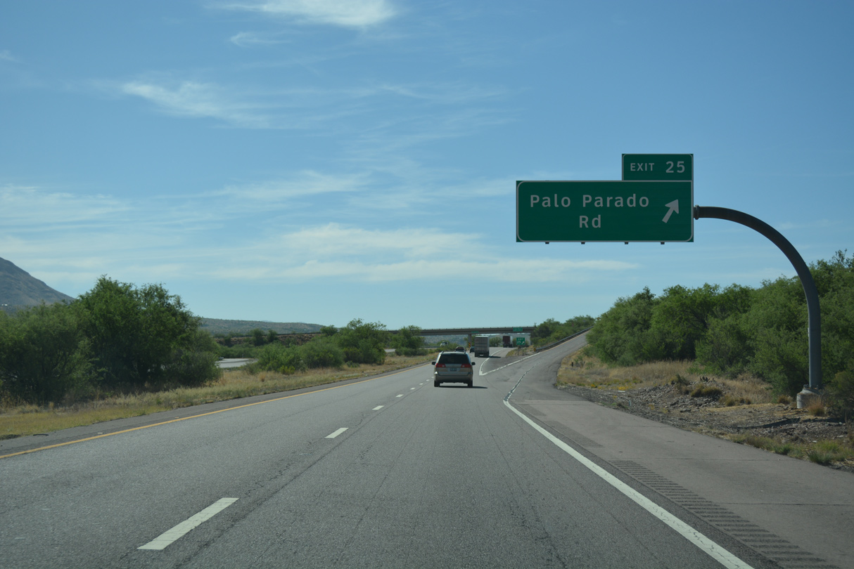
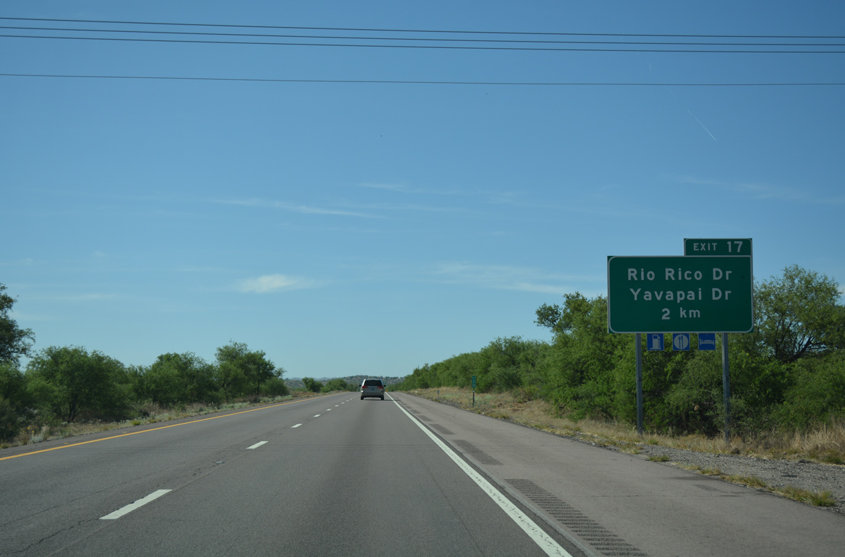
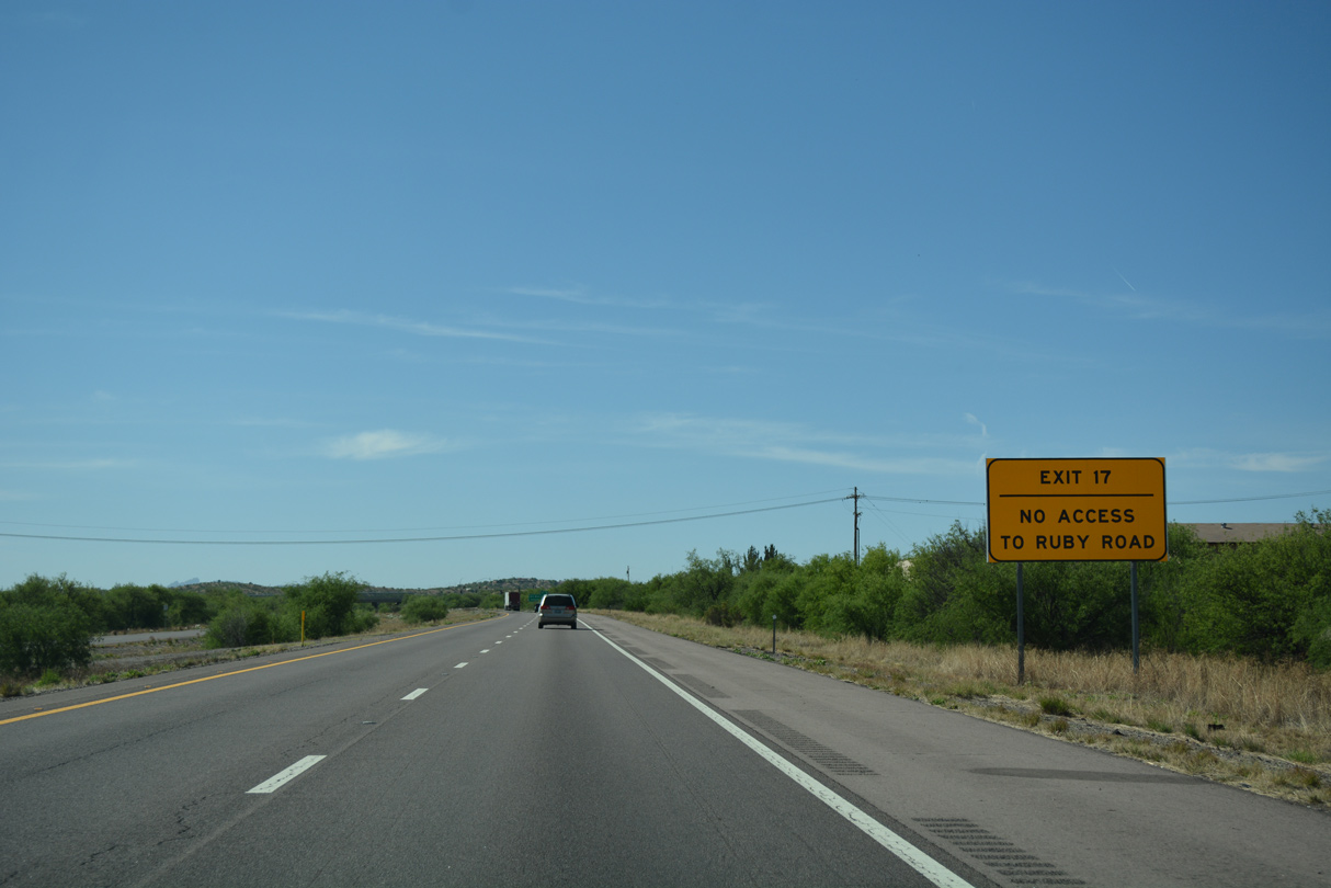
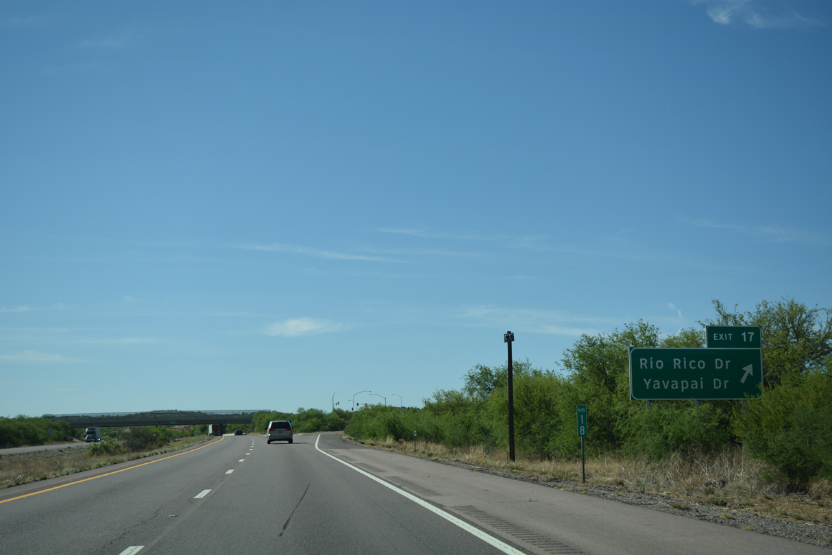
Peck Canyon Road ties into Interstate 19 at Exit 22 in northern reaches of unincorporated Rio Rico.
04/26/17
04/26/17
04/26/17
04/26/17
04/26/17
04/26/17
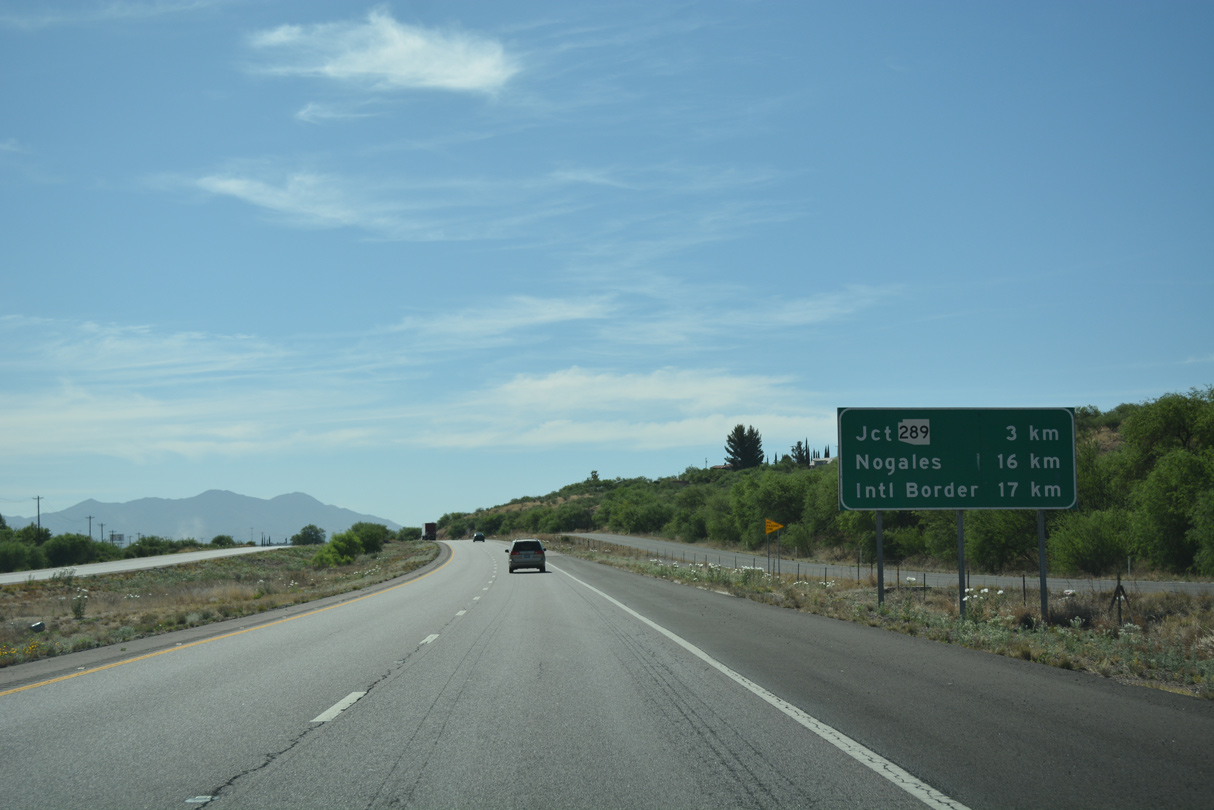
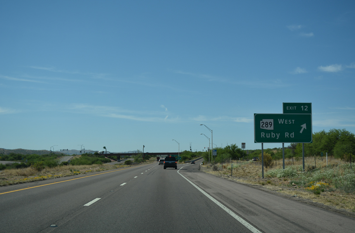
Distance sign along southbound Interstate 19 for SR 289, Nogales, and International Border. International Border is a control point also used along southbound I-5 and I-805 in San Diego County, California.
04/26/17
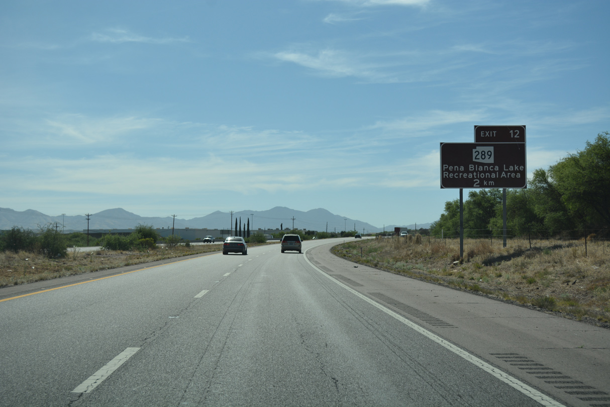
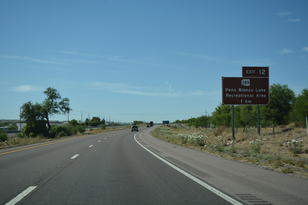
SR 289 spurs 10.52 miles west from the east Frontage Road by Exit 12 to Peña Blanca Lake.
04/26/17
Peña Blanca Lake Recreation Area lies within Coronado National Forest and Peña Blanca Canyon along SR 289 west.
04/26/17
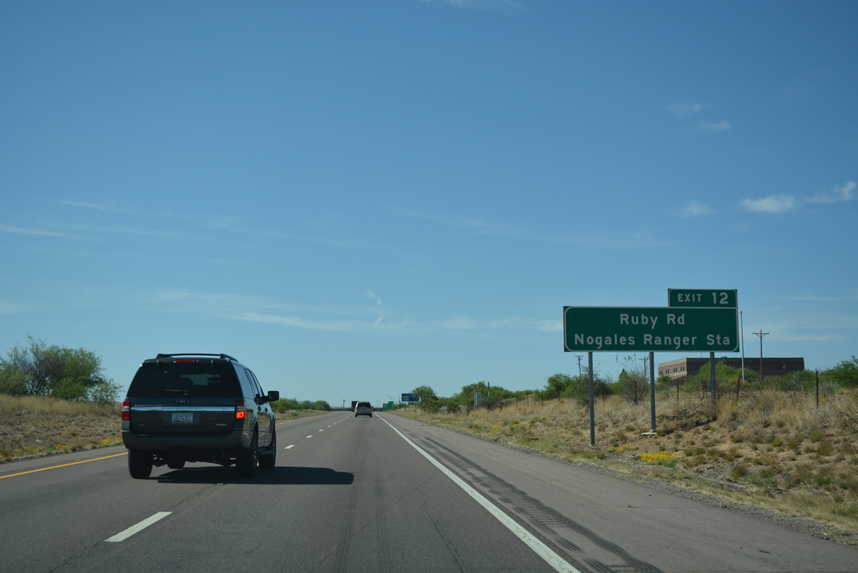
State Route 289 follows Ruby Road west to the Pajarito Mountains.
04/26/17
SR 289, like SR 189 in Nogales, was originally designated as a branch from U.S. 89.
04/26/17
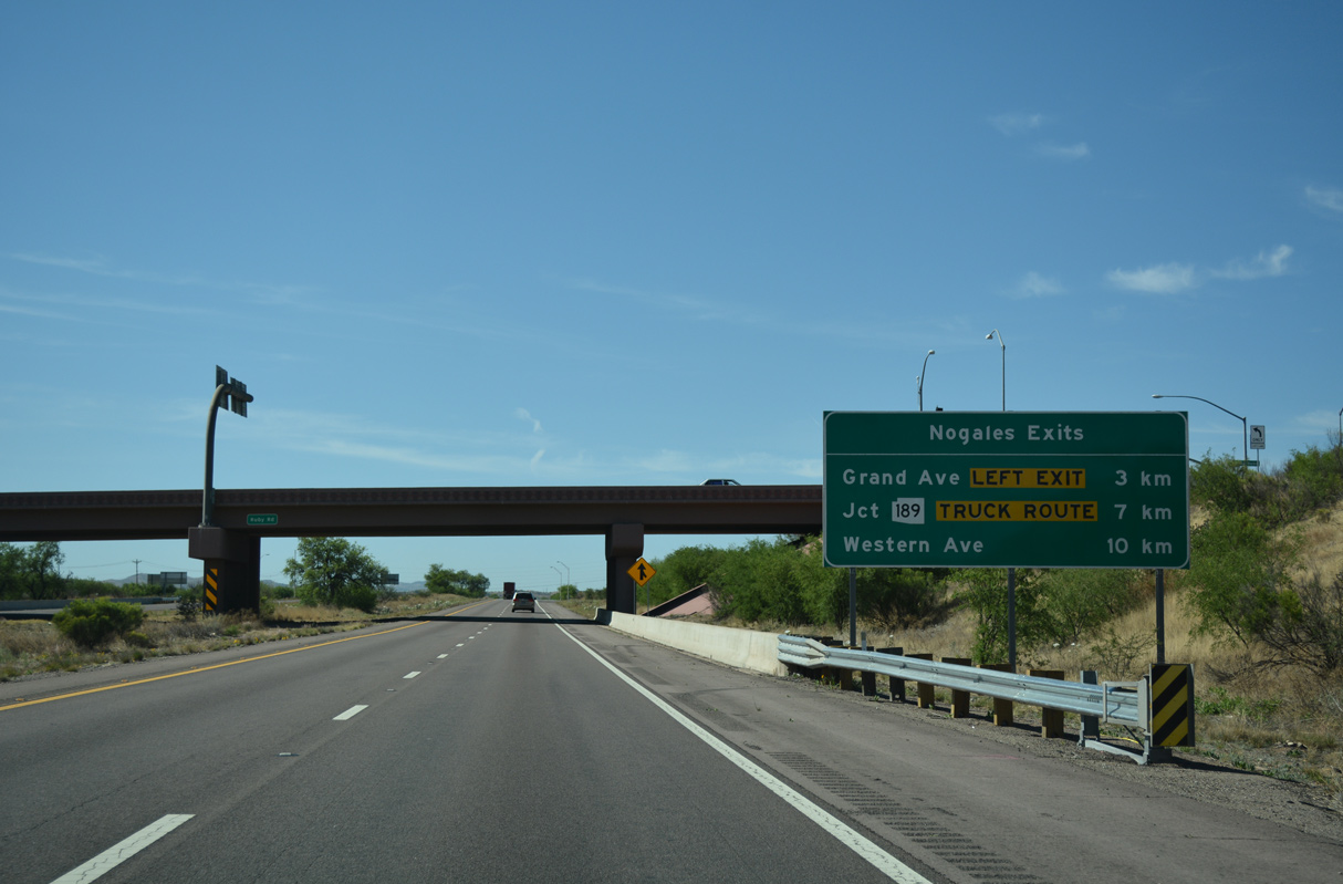
The remaining exits from Interstate 19 south are for the city of Nogales.
04/26/17
Interstate 19 proceeds south by Pesqueira Canyon and Alamo Canyon.
04/26/17
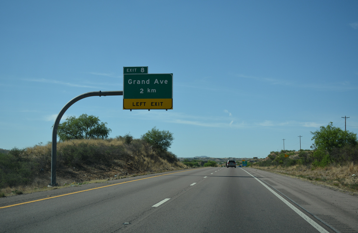
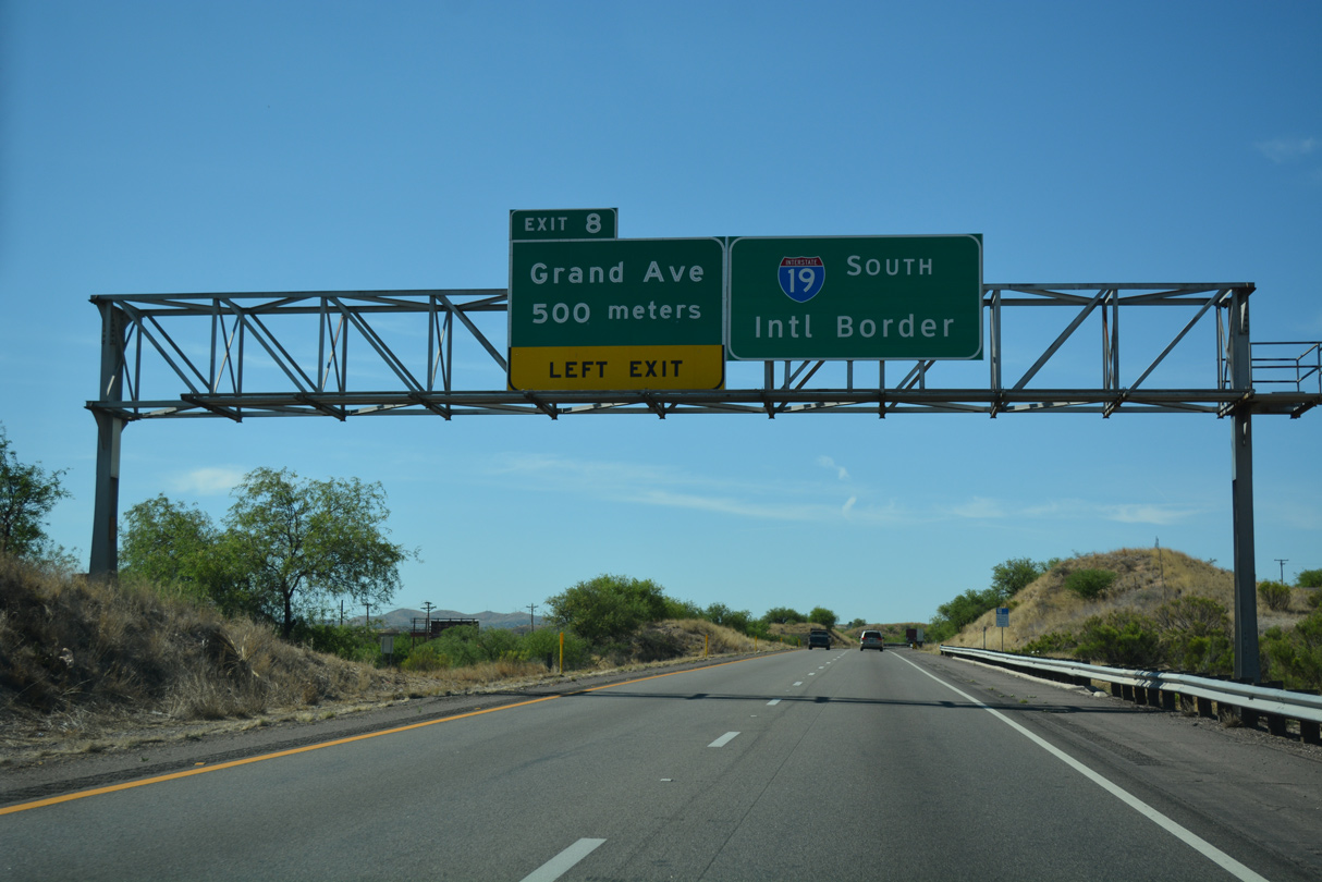
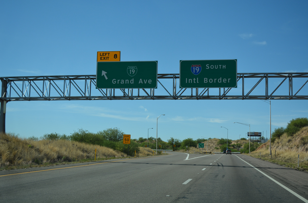
Business Loop I-19 (Grand Avenue) separates from I-19 south at a wye interchange (Left Exit 8) in two kilometers.
04/26/17
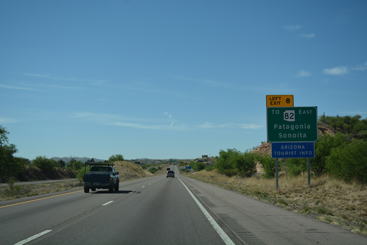
Business Loop I-19 connects to SR 82 northeast from Nogales to Patagonia and Tombstone.
04/26/17
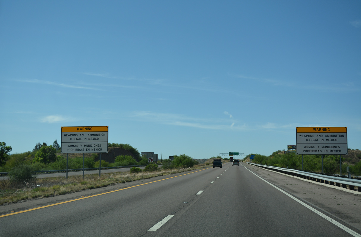
Signs similar to this are common at other border crossings into Mexico, including a nearly identical sign along California State Route 905 for the port of entry in Otay Mesa/San Diego.
04/26/17
Grand Avenue is the historic route of U.S. 89 leading south along the Union Pacific Railroad into Downtown Nogales.
04/26/17
Business Loop I-19 in Nogales was established in 1992 when U.S. 89 was truncated north from the International border to Flagstaff.
04/26/17
Interstate 19 enters the city of Nogales just south of Left Exit 8.
04/26/17
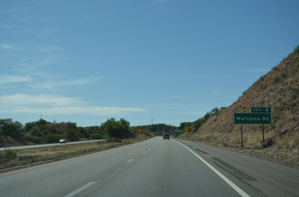
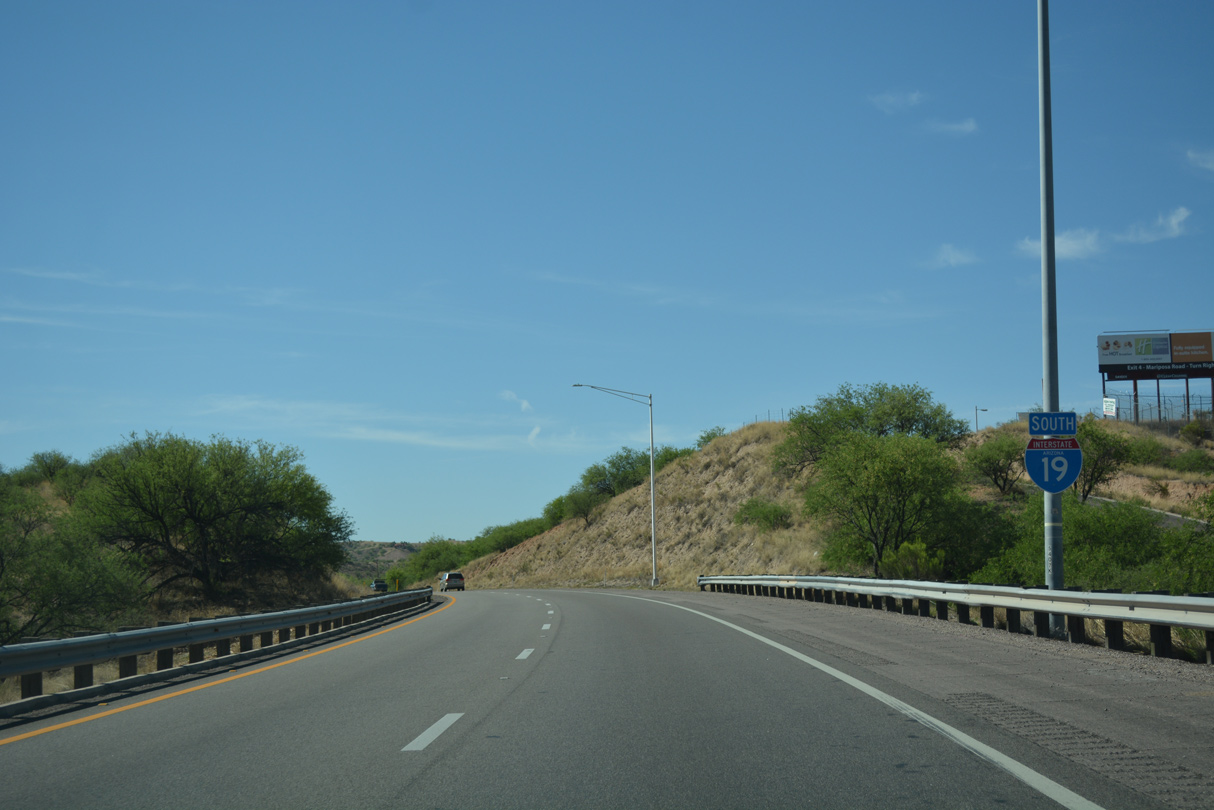
The succeeding exit is with Mariposa Road, SR 189 southwest to the Mariposa Port of Entry to Nogales, Mexico.
04/26/17
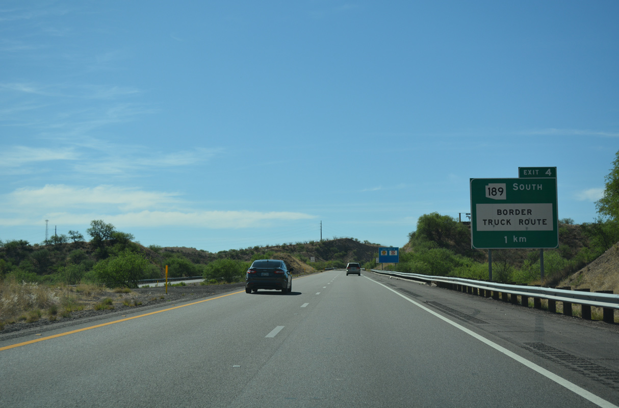
SR 189 constitutes the border truck route, and as such, a $138 million project in 2020/21 added flyovers joining I-19 south with Mariposa Road south and from SR 189 north onto I-19 north.
04/26/17

SR 189 measures 3.76 miles overall from the International border northeast to Business Loop I-19 (Grand Avenue) at Calle Sonora.
04/26/17
The final confirming marker for Interstate 19 south,
04/26/17
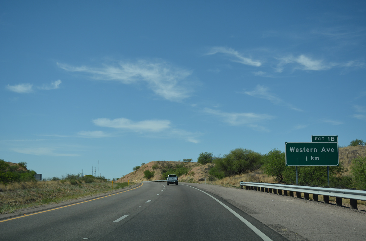
Interstate 19 rises east from Mariposa Canyon ahead of the diamond interchange (Exit 1B) with Western Avenue.
04/26/17
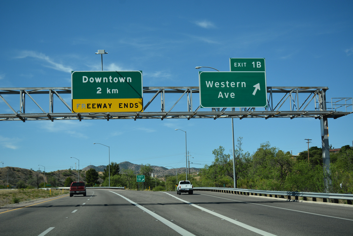
Western Avenue runs 1.65 miles east to Business Loop I-19 (Grand Avenue) near the west end of SR 82. Target Range Road extends Western Avenue 0.89 miles northwest from Ephraim Canyon to SR 189 (Mariposa Road).
04/26/17
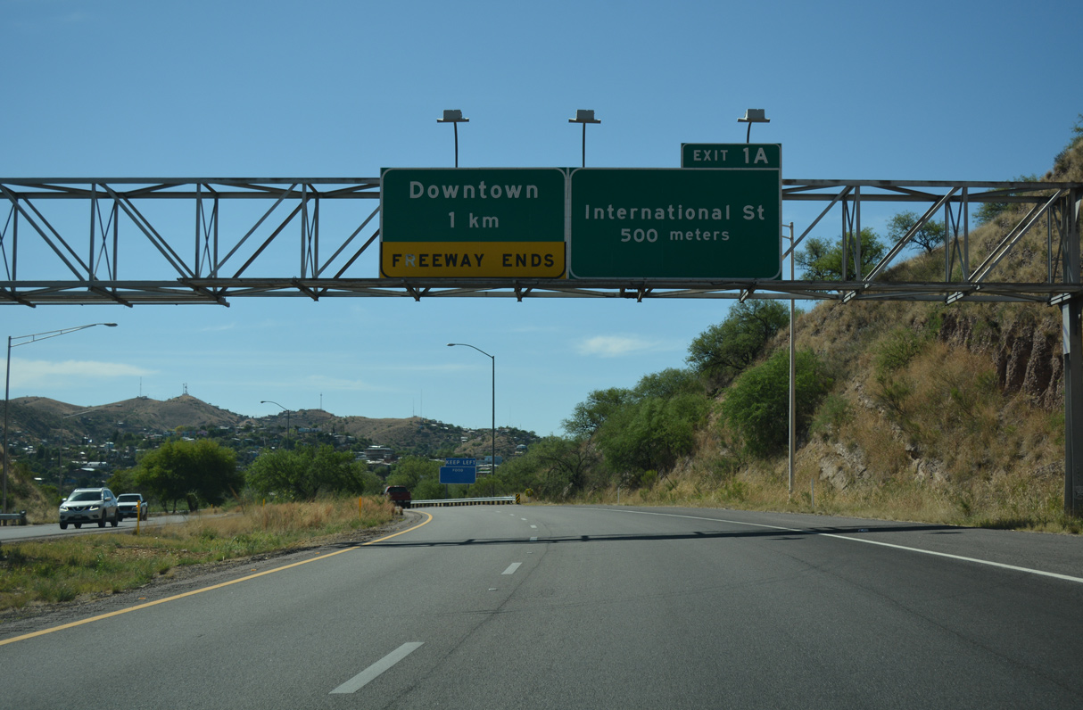
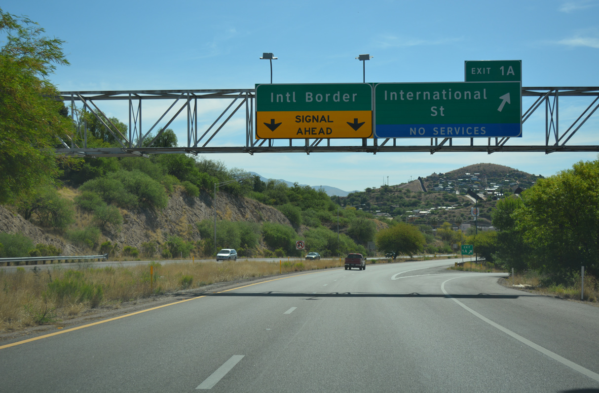
Interstate 19 arcs southeast across Crawford Hill to Exit 1A for International Street.
04/26/17
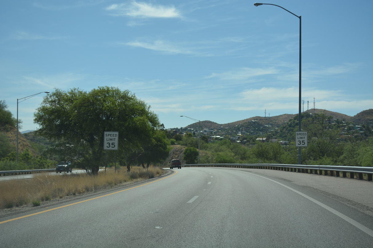
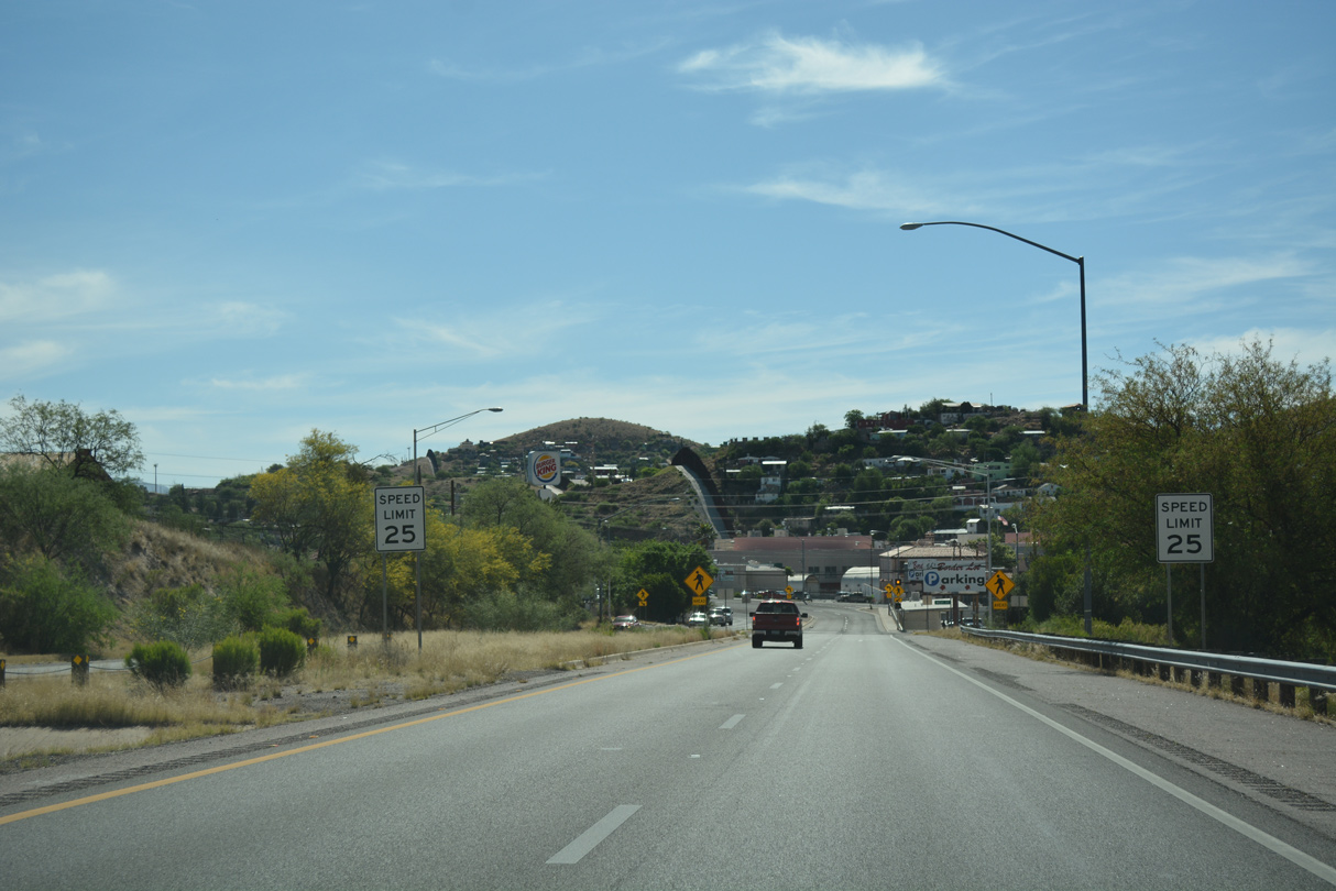
With Nogales, Mexico coming into view, the speed limit reduces to 35 miles per hour along the final stretch of Interstate 19 south.
04/26/17
Exit 1A departs for International Street, which lines the International border from West Street west to residential areas.
04/26/17
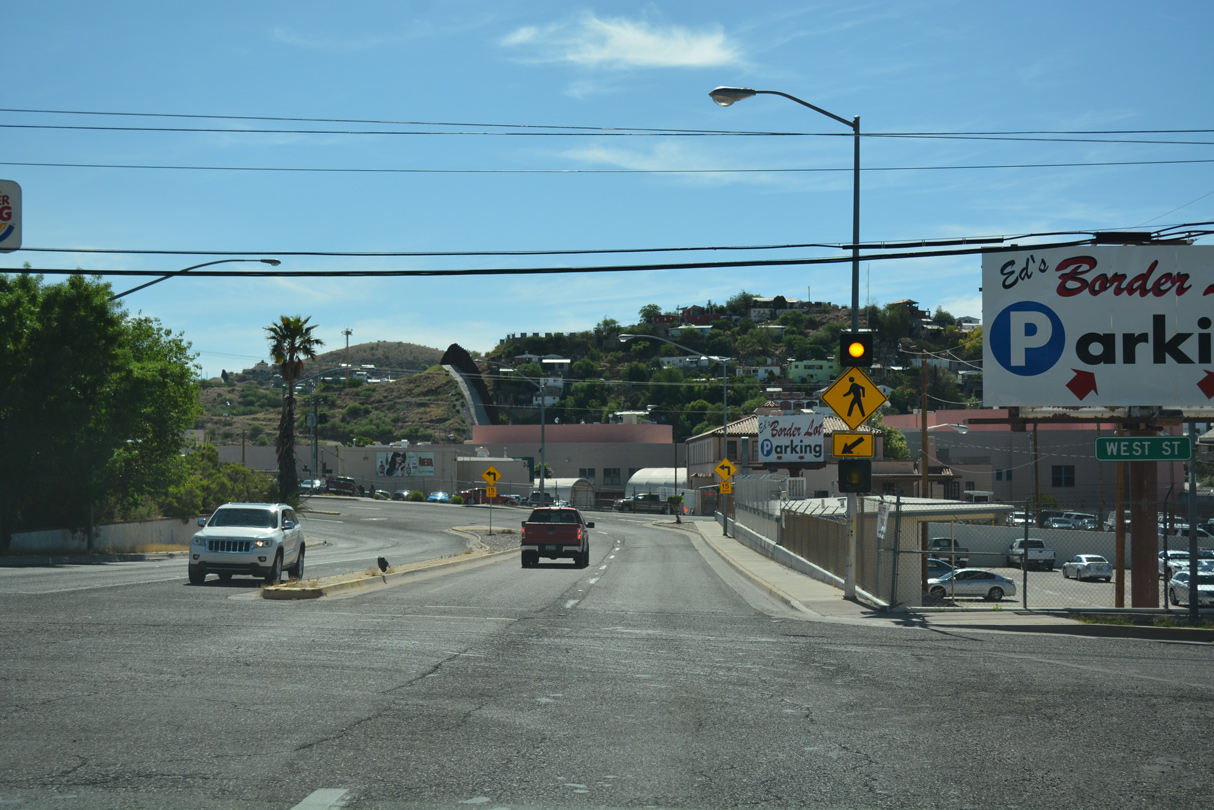
The border fence between the U.S. and Mexico appears as the south end of I-19 transitions to Compound Street at West Street. Compound Street is part of Business Loop I-19 leading to Grand Avenue/Arroyo Boulevard (old U.S. 89) in Downtown Nogales.
04/26/17
The historic south end of U.S. 89 along Grand Avenue connects with Mexico Federal Route 15 in Nogales, Sonora, Mexico. Federal Route 15 is a major through highway that goes all the way south to Mexico City, a distance of 1,357 miles.
04/26/17
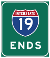
Photo Credits:
04/26/17 by AARoads
Connect with:
Business Loop I-19 - Nogales
State Route 189
State Route 289
Page Updated 04-19-2022.