|
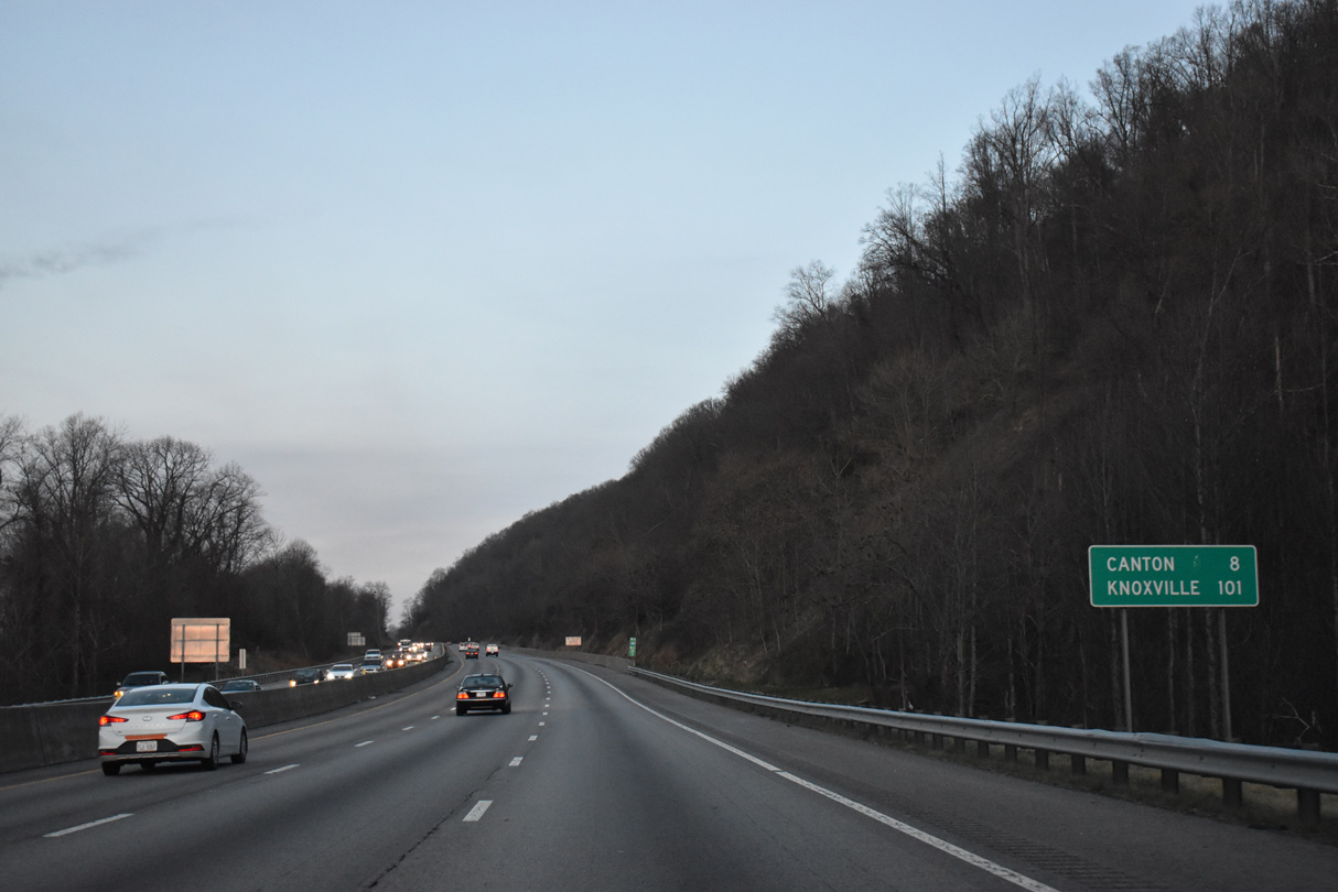
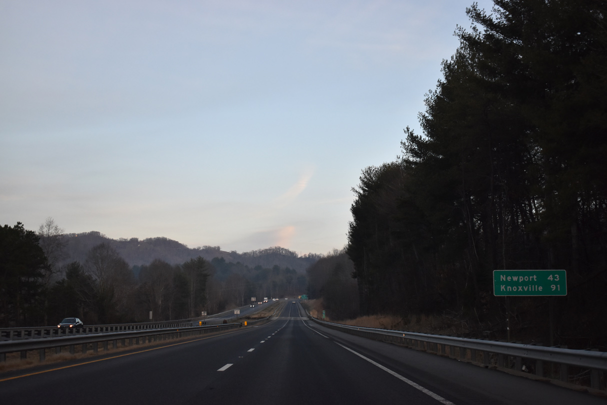
| Knoxville, Tennessee is 101 miles northwest from the Buncombe/Haywood County line along Interstate 40. 03/14/22 |
|
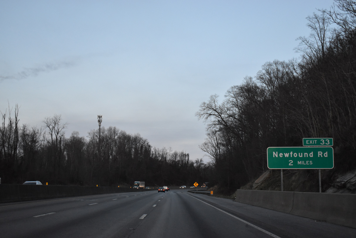
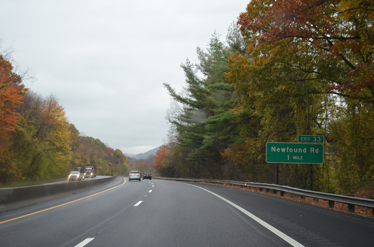
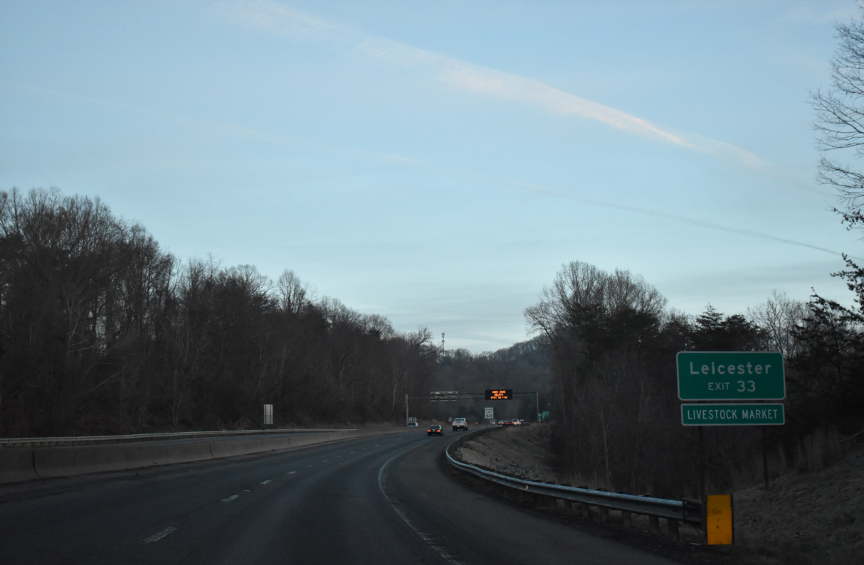
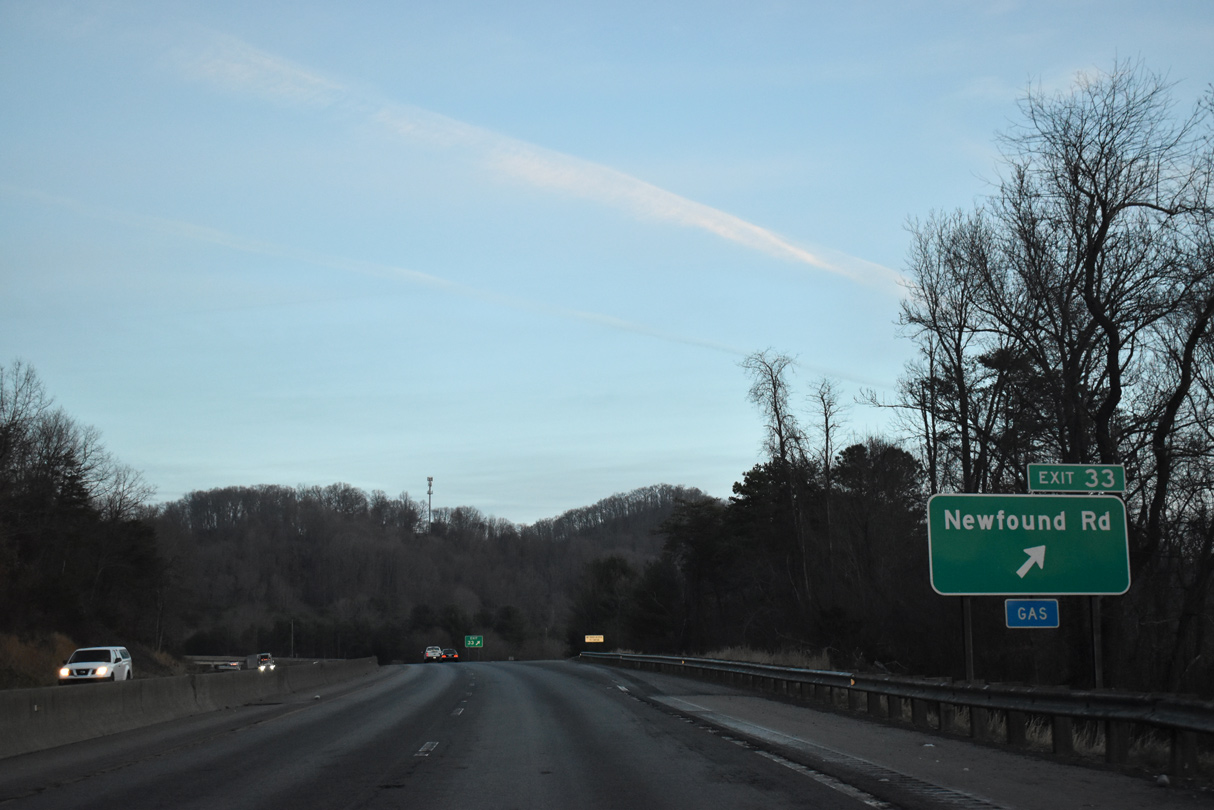
| I-40/U.S. 74 curves northward around Holland Mountain to a parclo A2 interchange (Exit 33) with Newfound Road (SR 1004). 03/14/22 |
|
| Newfound Road (SR 1004) ventures northeast along Newfound Mountain to NC 63 near the community of Leicester. 10/26/15, 03/14/22 |
|
| Newfound Road (SR 1004) leads west from Exit 33 to Main Street in the town of Canton. 03/14/22 |
|
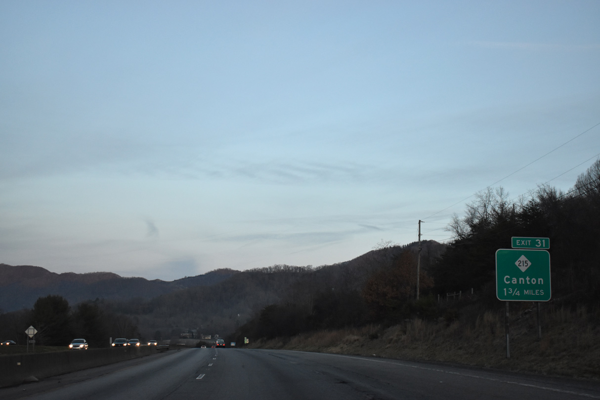
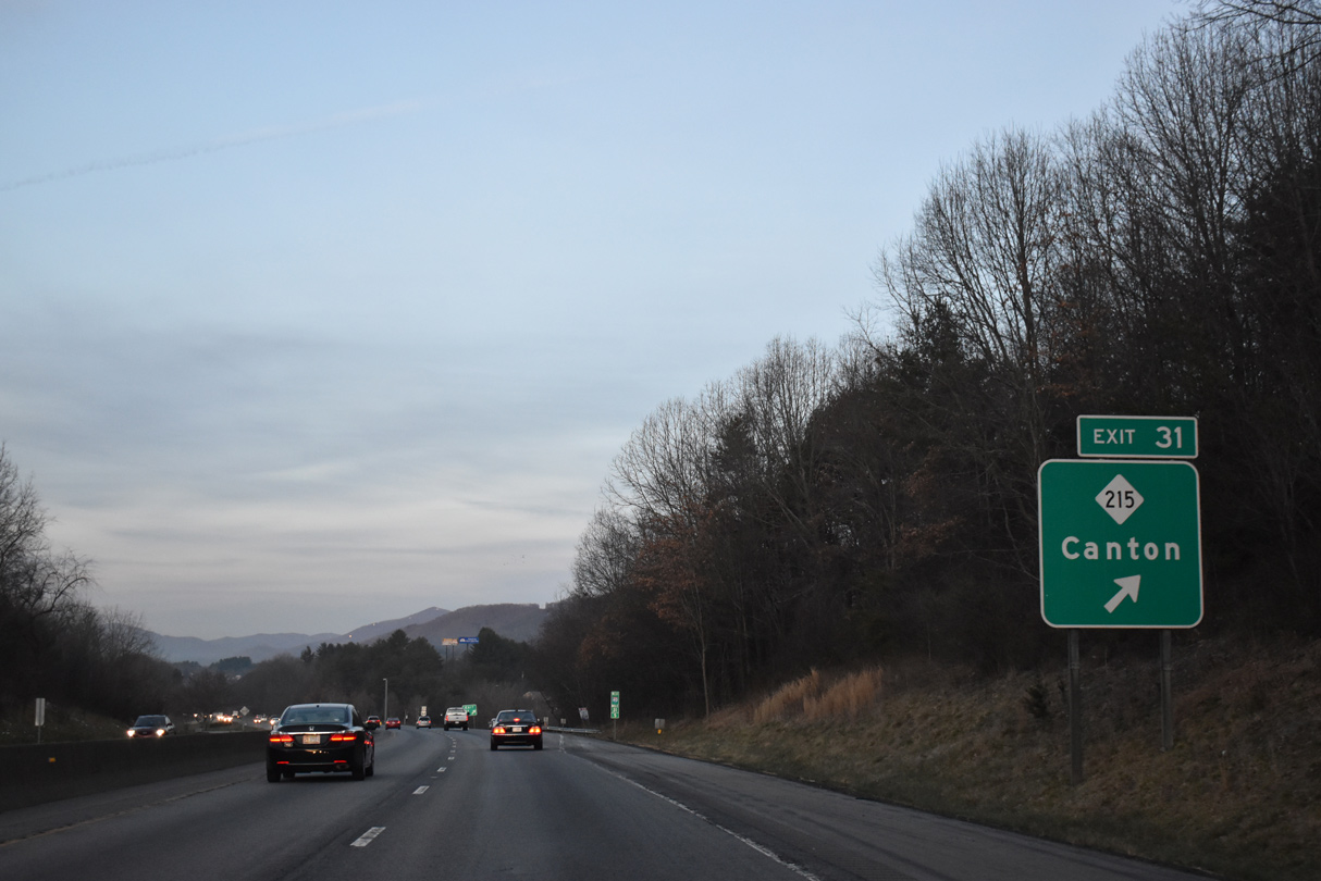
| I-40/U.S. 74 curve west by Little Piney Top toward a diamond interchange (Exit 31) with NC 215 (Champion Drive). 03/14/22 |
|
| Chambers Mountain rises along the western horizon. 03/14/22 |
|
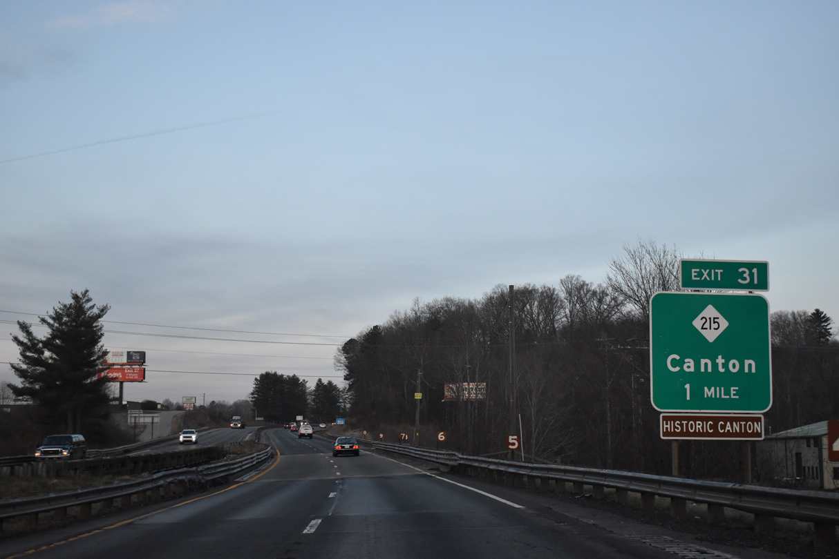
| NC 215 (Champion Drive) runs 1.92 miles south from I-40/U.S. 74 at Buckeye Cove Road (SR 1582) to U.S. 19/23 (New Clyde Highway) west of Downtown Canton. 03/14/22 |
|
| NC 215 continues south from Canton and Woodrow into Pisgah National Forest en route to Sunburst and Rosman. 03/14/22 |
|
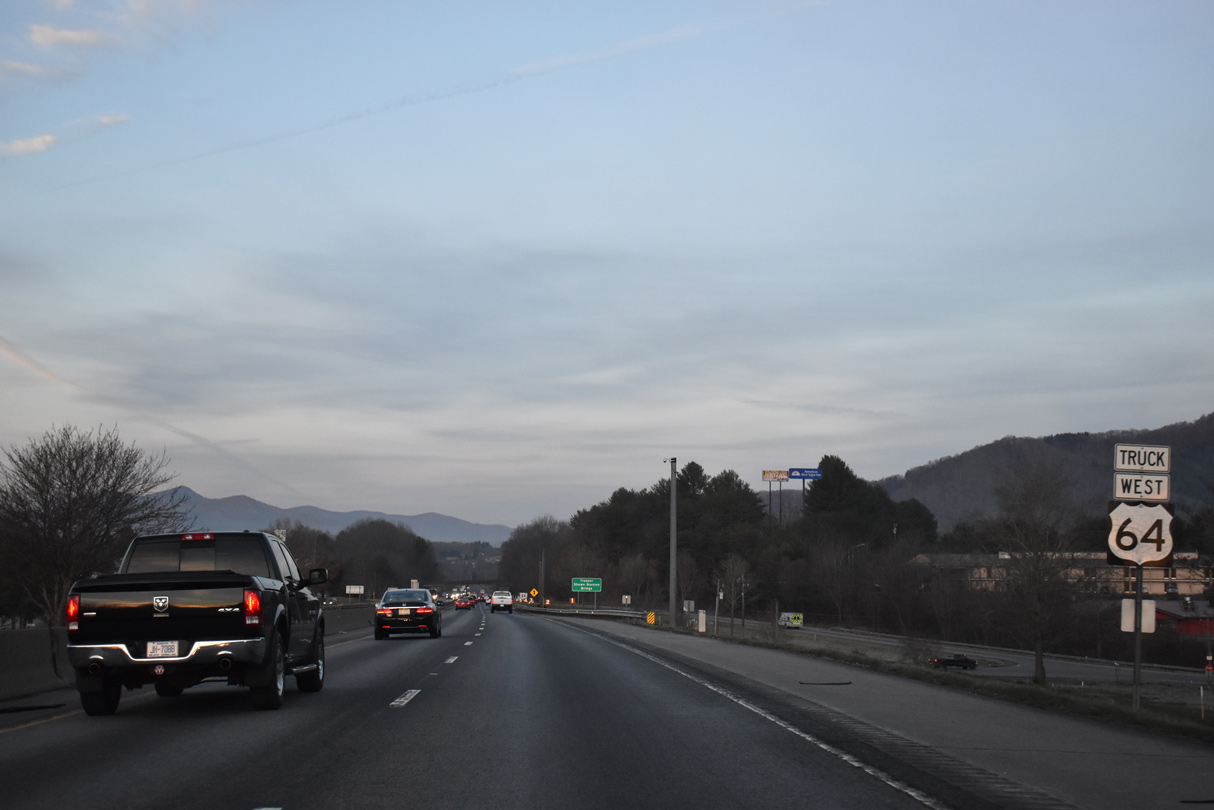
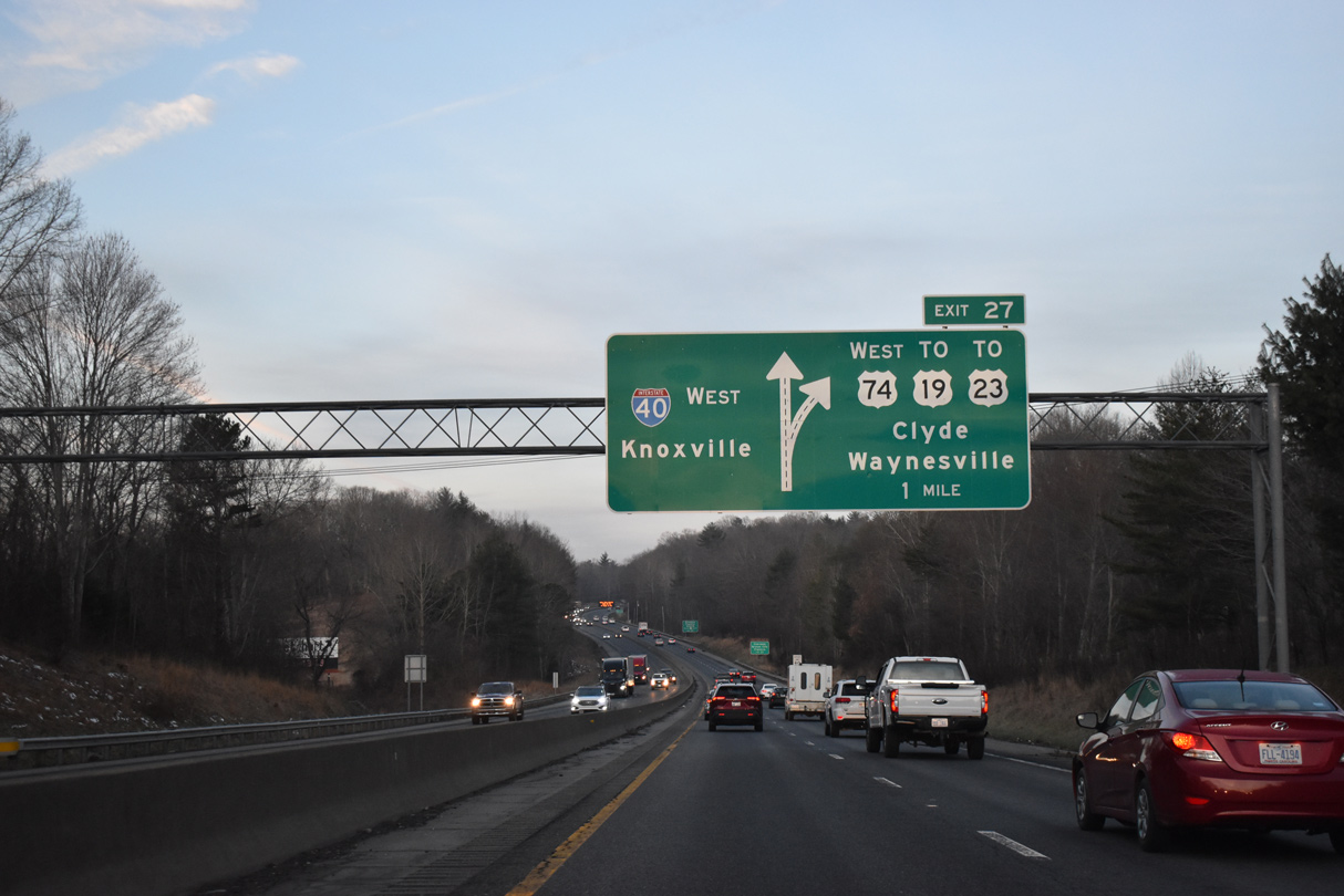
| The long distance truck route for U.S. 64 west follows I-26, I-40 and U.S. 74 west along the Great Smoky Mountains Expressway. 03/14/22 |
|
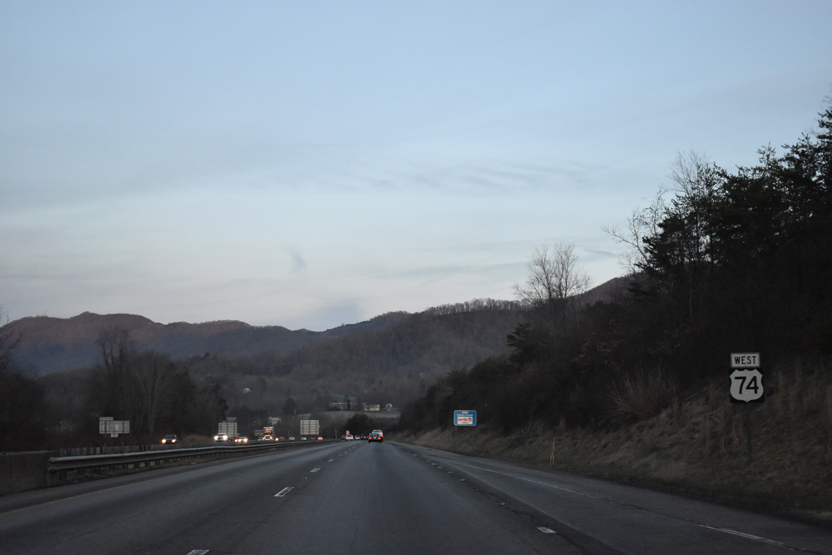
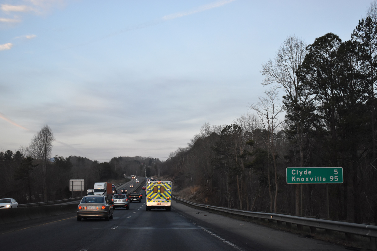
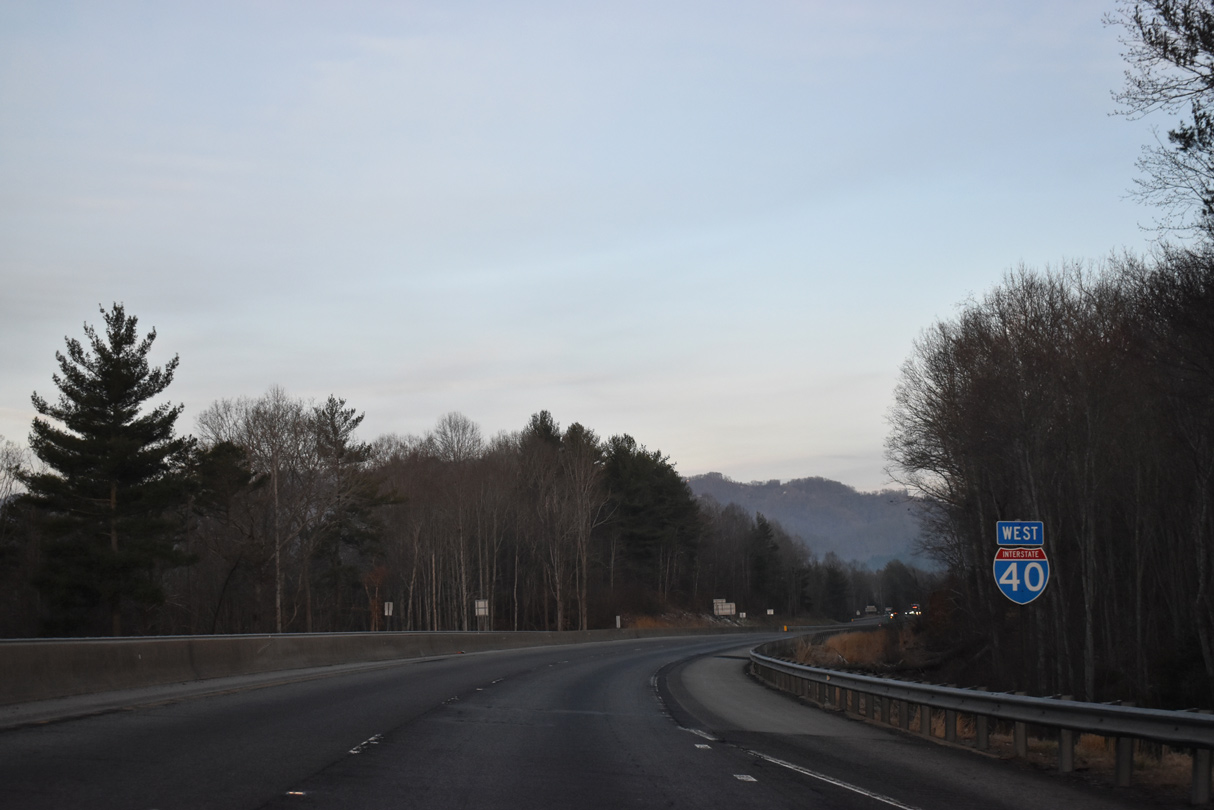
| The town of Clyde is five miles to the west along parallel U.S. 19/23 (Carolina Boulevard), Knoxville, Tennessee is 90 miles further via I-40. 03/14/22 |
|
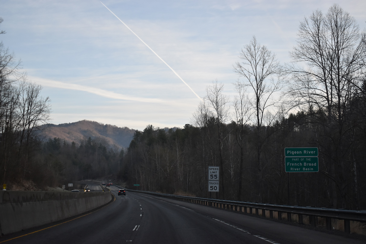
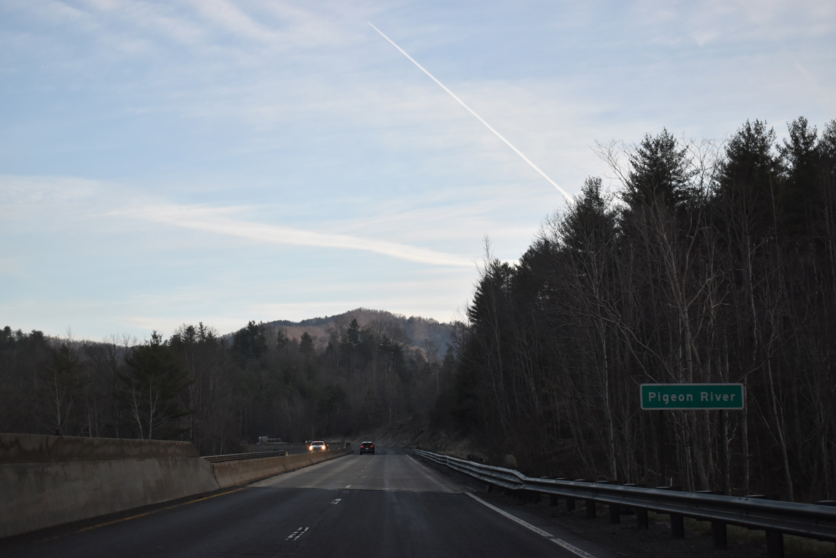
| I-40/U.S. 74 progress west between Chambers Mountain and the Pigeon River. 03/14/22 |
|
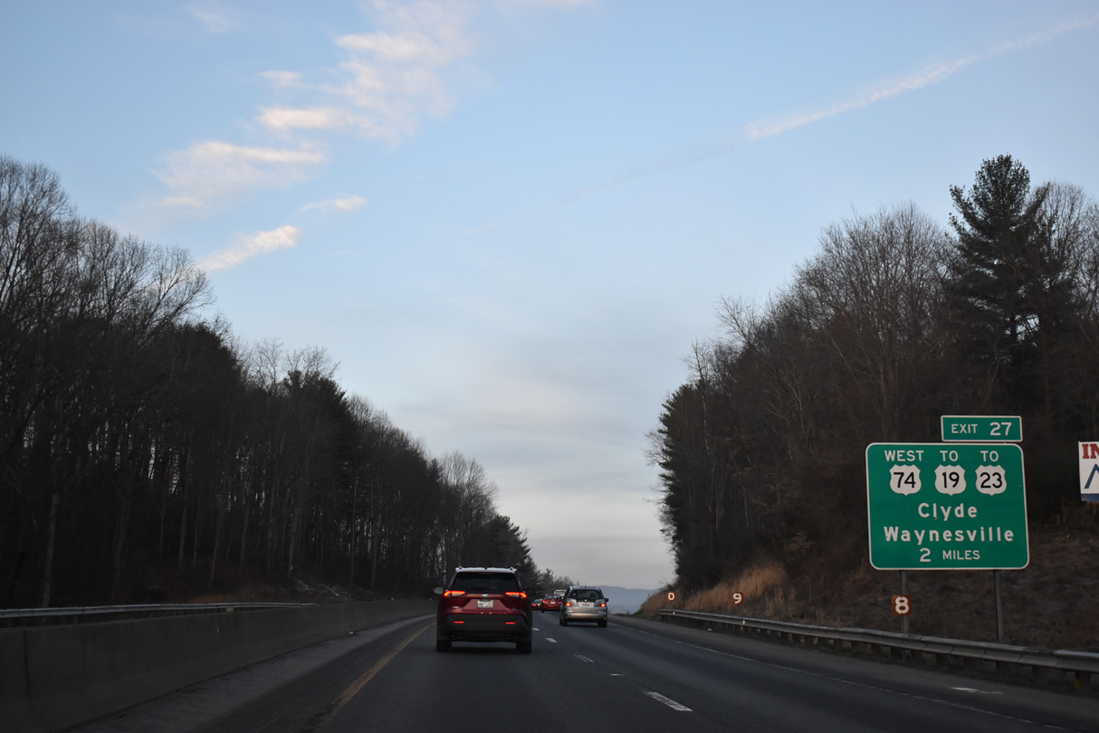
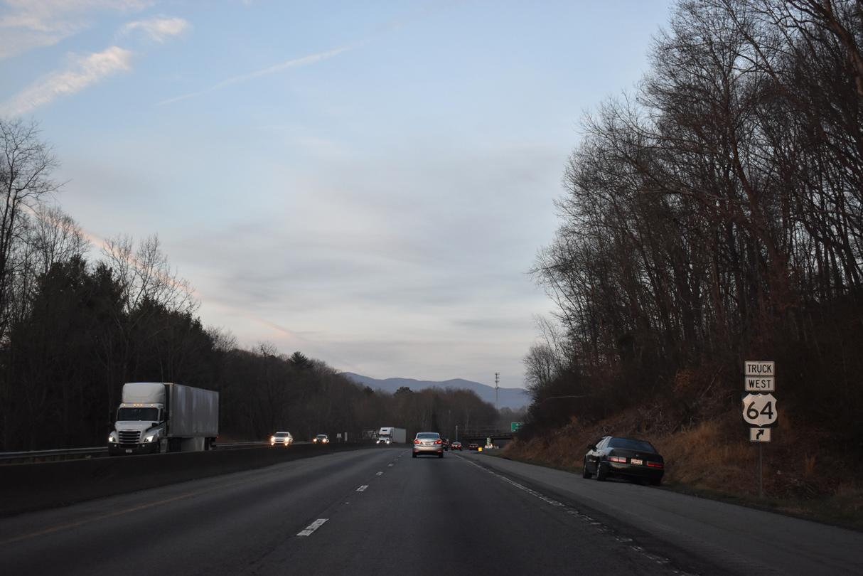
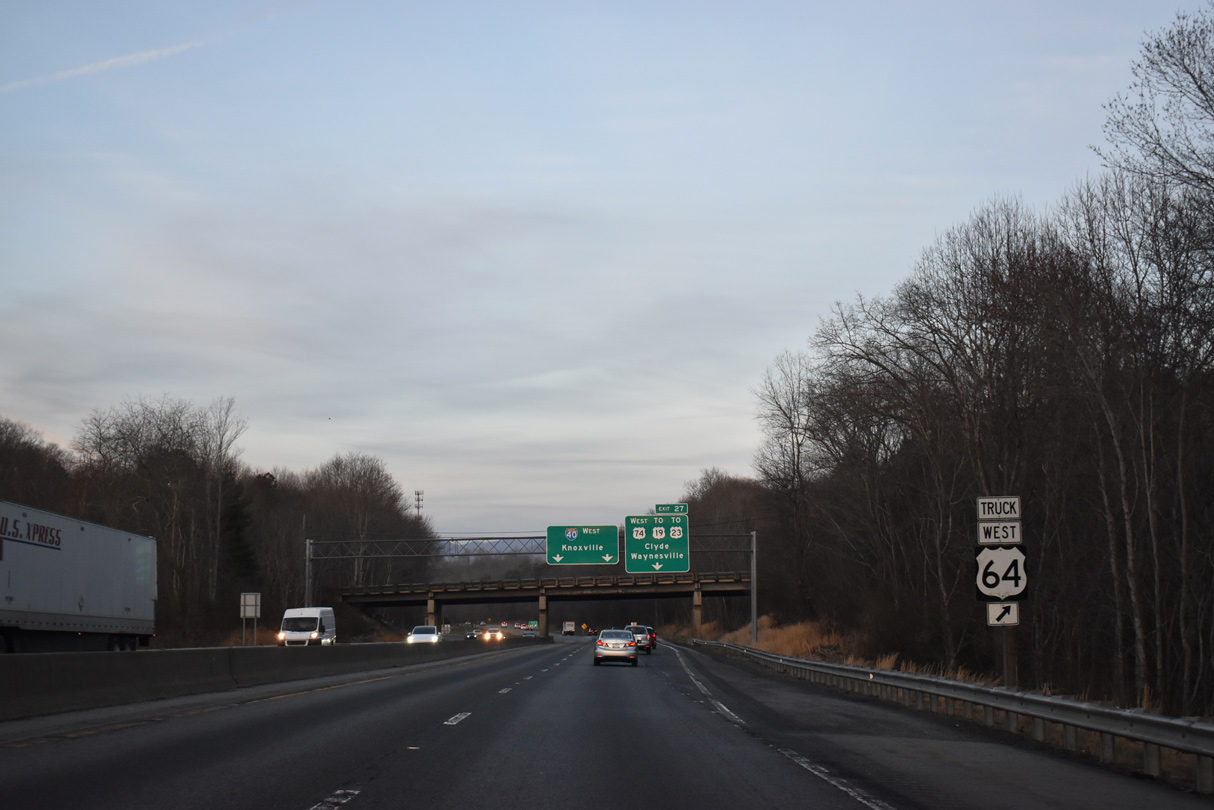
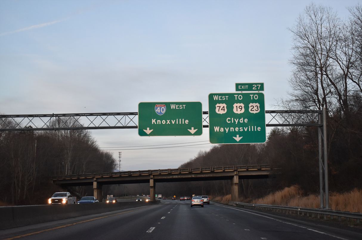
| U.S. 74 branches south from I-40 along the Great Smoky Mountains Expressway from Exit 27 to U.S. 19/23 west of Clyde. 03/14/22 |
|
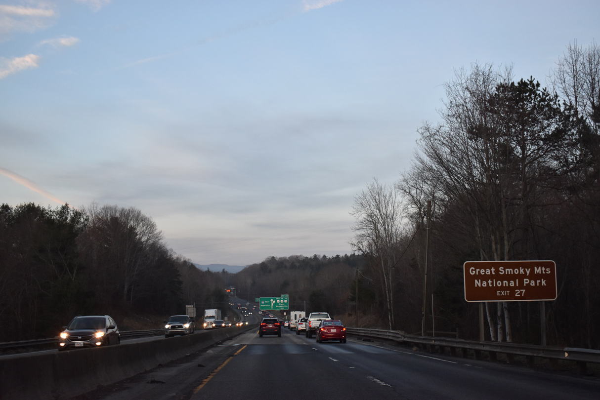
| Great Smoky Mountains National Park lies northwest of U.S. 74 via U.S. 19, Blue Ridge Parkway and U.S. 441 north from Cherokee. 03/14/22 |
|
| U.S. 74 travels 107 miles southwest from Exit 27 to Tennessee alongside U.S. 64 west of Ranger. 03/14/22 |
|
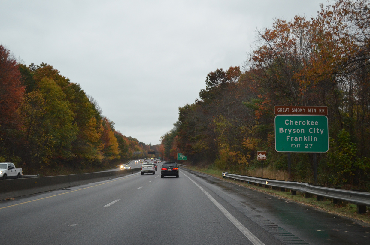
| U.S. 19 follows a narrow winding course via Soco Gap to Cherokee and Bryson City. The Great Smoky Mountain Railroad, from Bryson City to Dillsboro, is a tourist attraction following a branch of the Norfolk Southern sold off in the late 1980s. 10/26/15 |
|
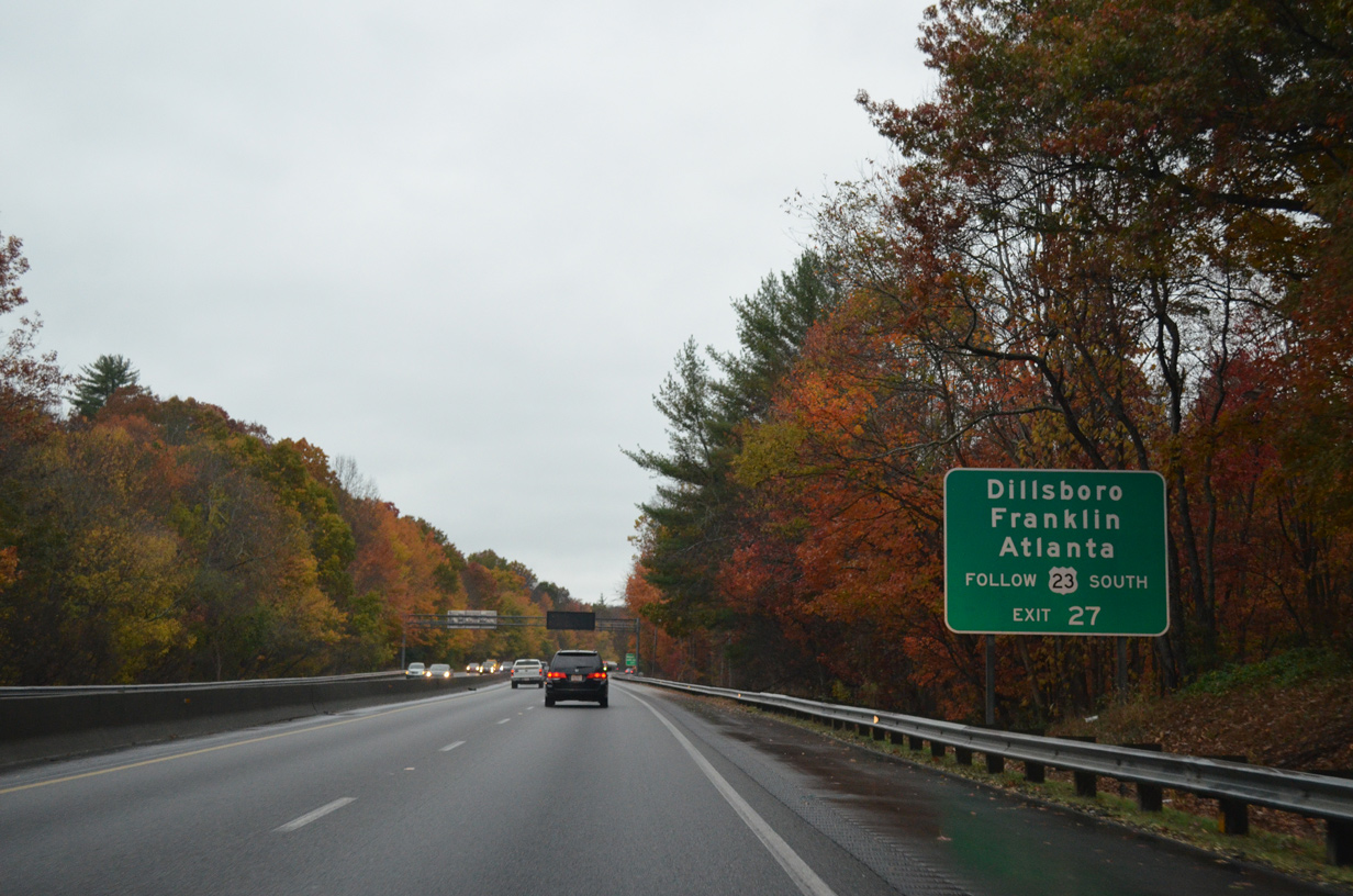
| U.S. 23 combines with U.S. 441 south from U.S. 74 at Dillsboro to Franklin and Dillard, Georgia. U.S. 23 travels south to Gainesville and Interstate 985 to the Atlanta metropolitan area. 10/26/15 |
|
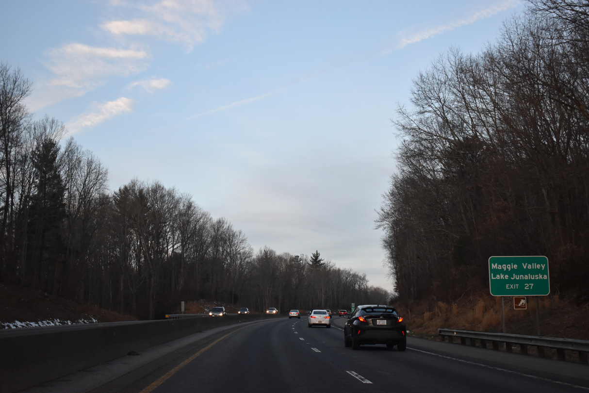
| U.S. 19 overlaps with U.S. 23/74 (Great Smoky Mountains Expressway) 2.5 miles west to the community of Lake Junaluska. U.S. 19 runs along the west side of the lake to U.S. 276 en route to Maggie Valley. 03/14/22 |
|
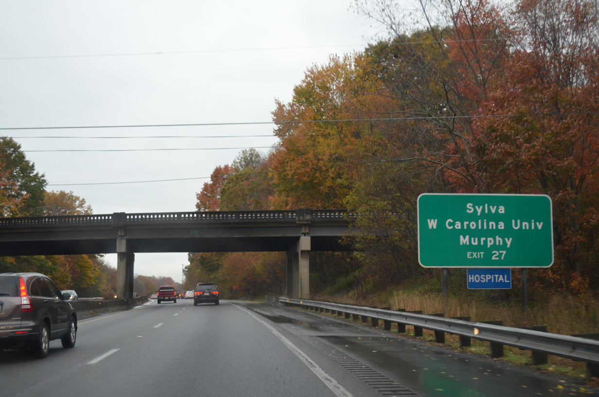
| Sylva lies 22 miles to the southwest along the Great Smoky Mountain Expressway. U.S. 19 reconnects with U.S. 74 from Bryson City southwest to Murphy. 10/26/15 |
|
| U.S. 74 converges with U.S. 64, 87 miles to the southwest at Murphy. The two overlap west from there to Cleveland, Tennessee. 03/14/22 |
|
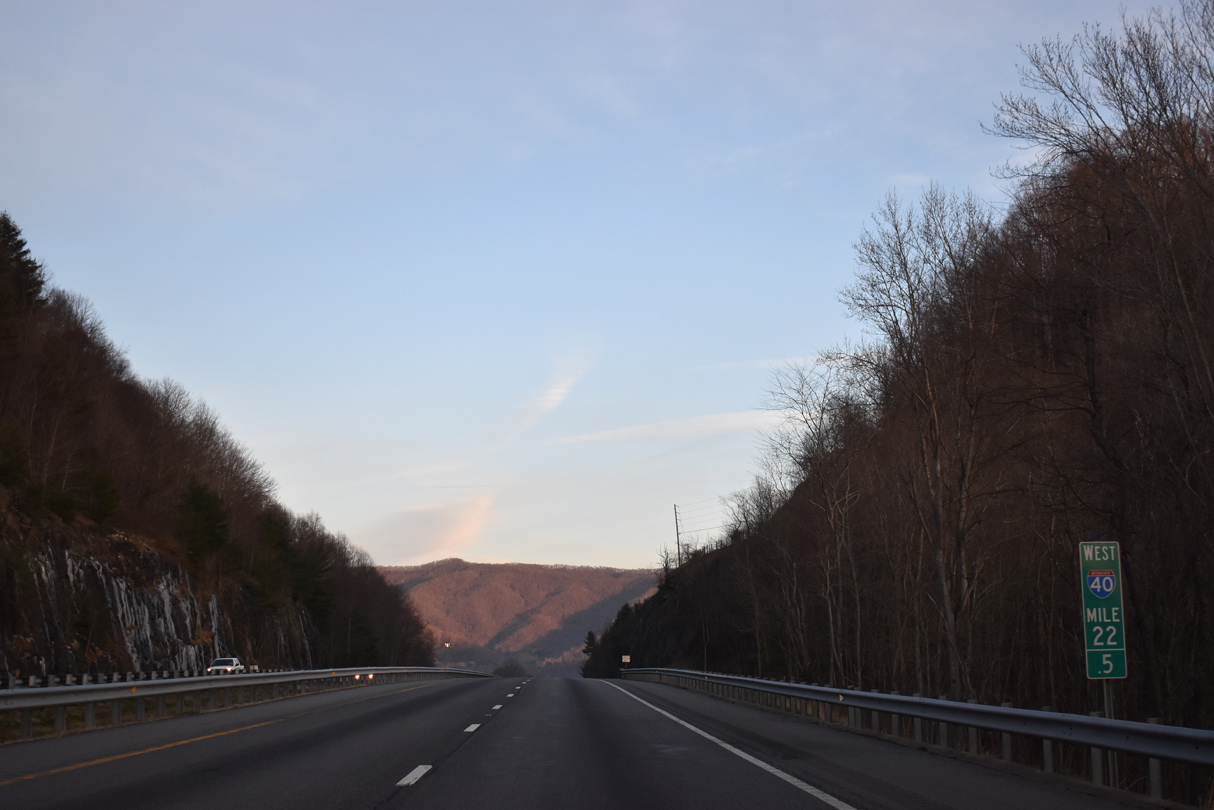
| U.S. 74 reaches Waynesville, the seat of Haywood County, 5.5 miles southwest from the trumpet interchange with Interstate 40 at Exit 27. 03/14/22 |
|
| Interstate 40 turns northwest between Hyder Mountain and the Pigeon River toward the unincorporated community of Iron Duff. 03/14/22 |
|
| The Cocke County seat of Tennessee lies 43 miles to the northwest along I-40 and U.S. 321. 03/14/22 |
|
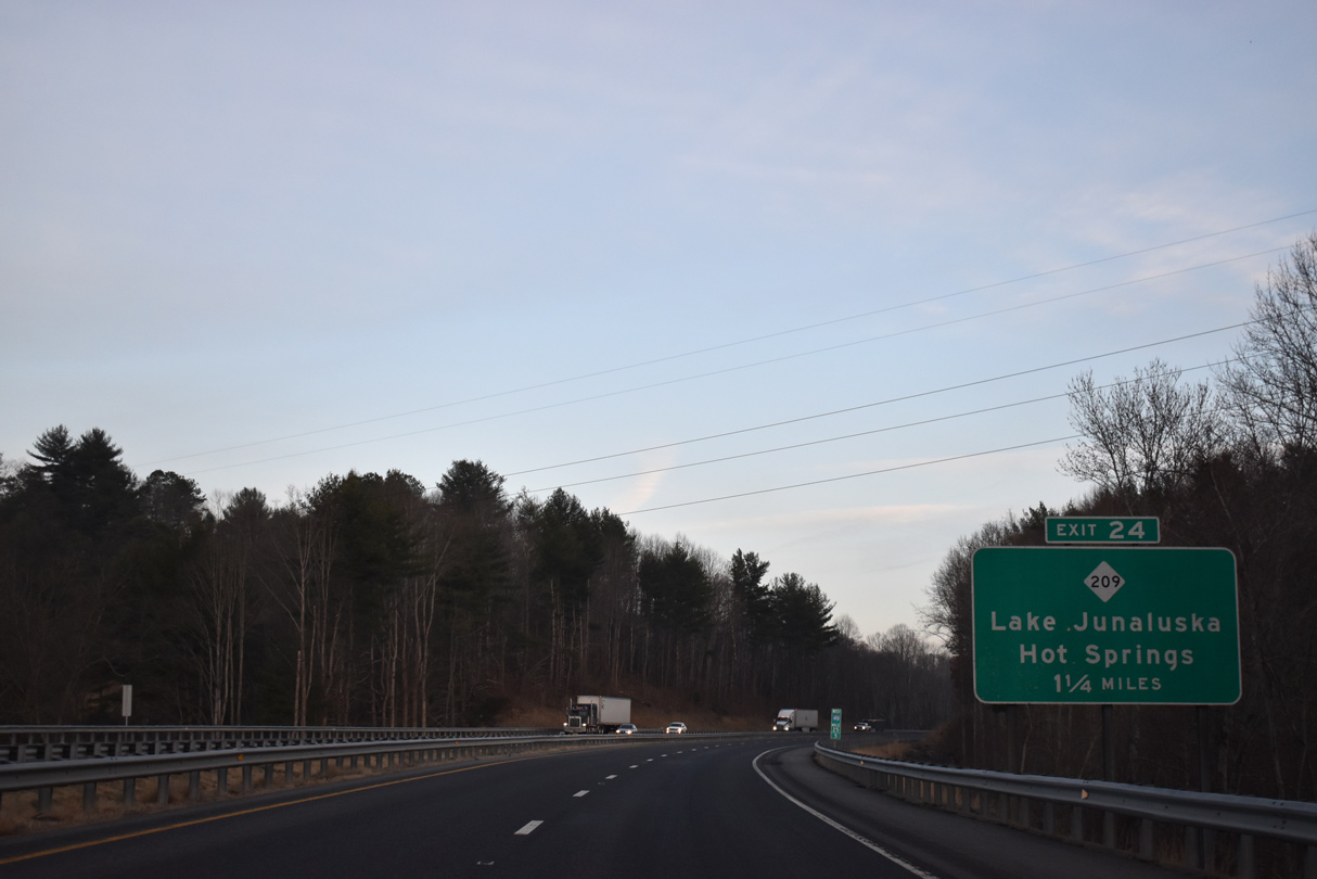
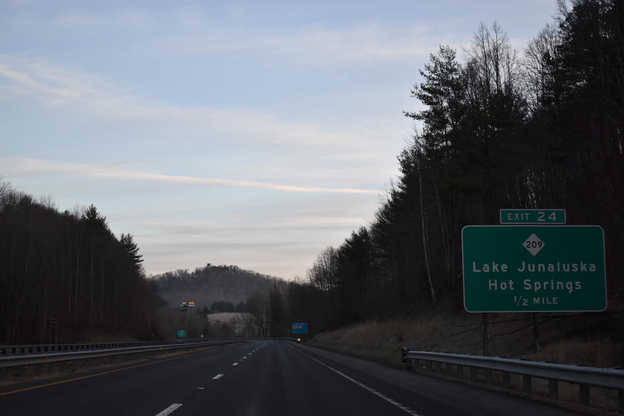
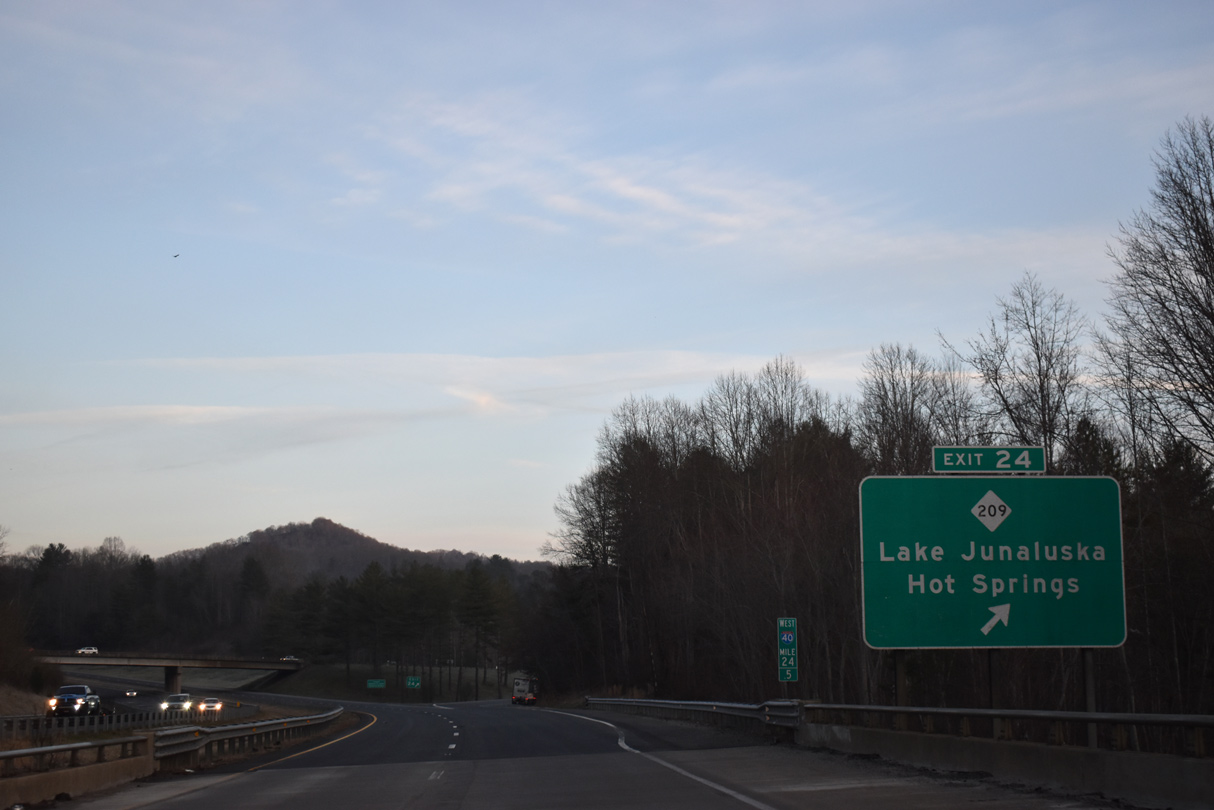
| A parclo interchange connects Interstate 40 with NC 209 (Crabtree Road) at forthcoming Exit 24. 03/14/22 |
|
| NC 209 winds 3.54 miles south from I-40 along the Pigeon River and Fincher Mountain to U.S. 19-23-74 (Great Smoky Mountain Expressway) at Lake Junaluska. 03/14/22 |
|
| NC 209 measures 36.47 miles from Lake Junaluska north to U.S. 25/70 at Hot Springs. 03/14/22 |
|
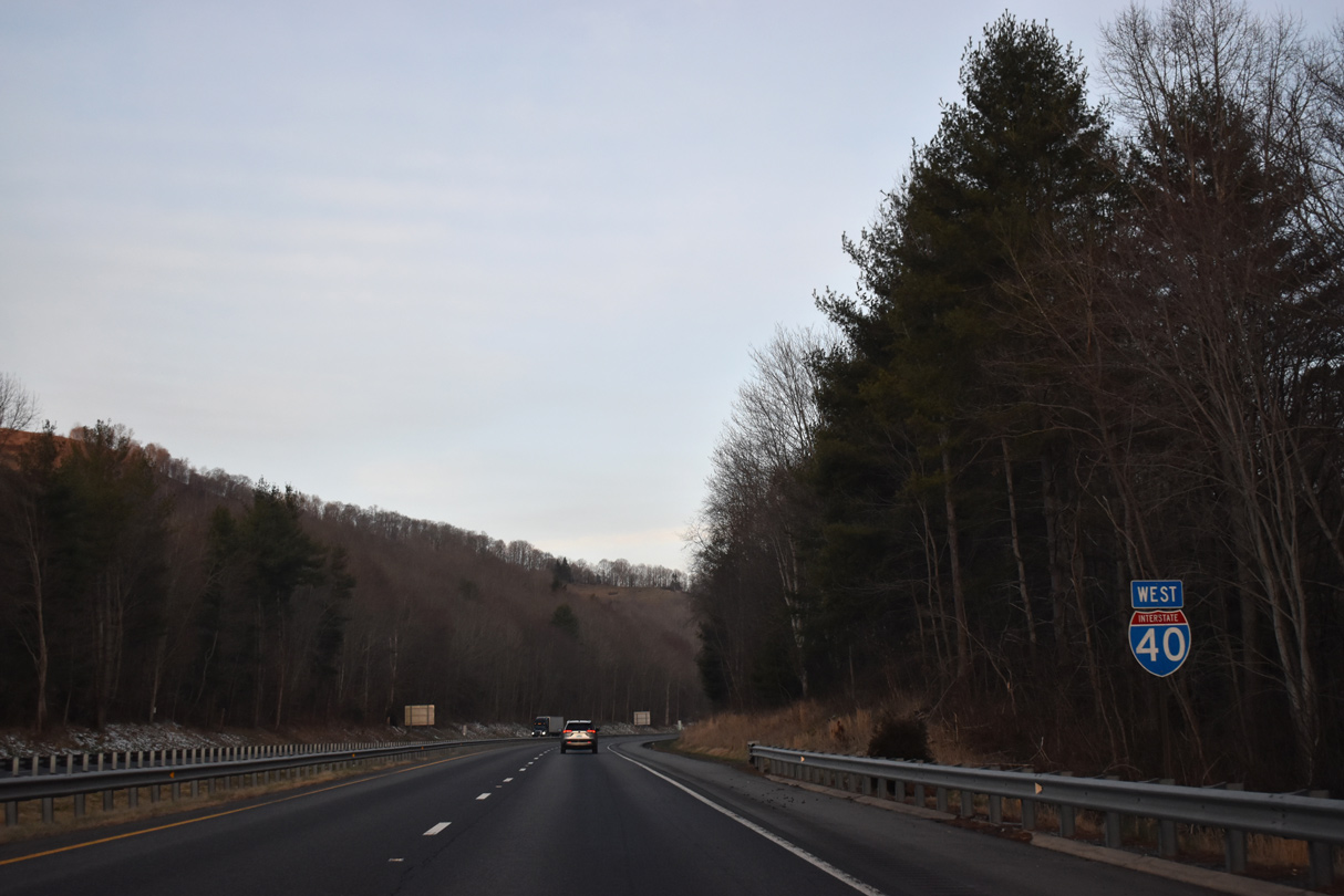
| Interstate 40 passes north of Utah Mountain and Davis Top on the ensuing stretch westbound. 03/14/22 |
|
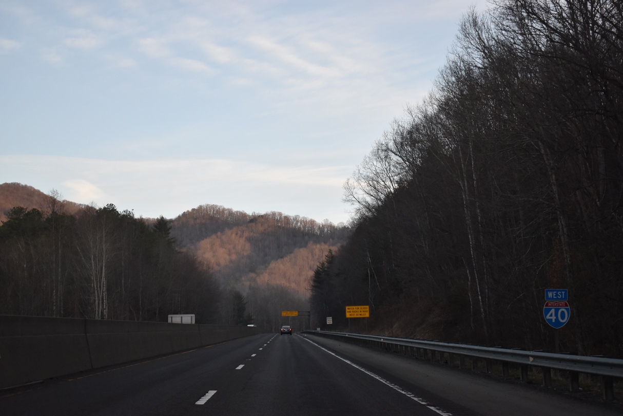
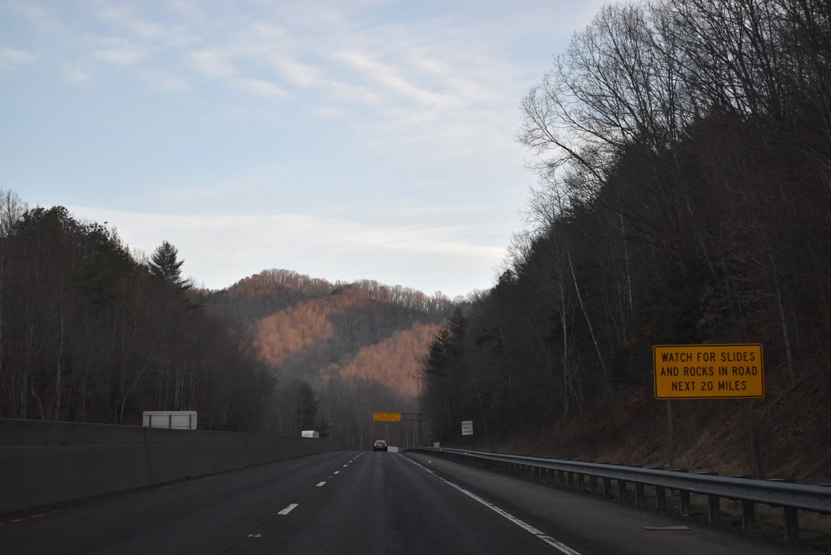
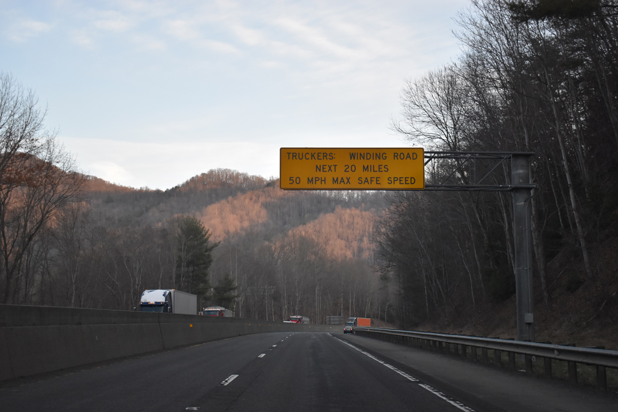
| The remainder of Interstate 40 through North Carolina runs through Pigeon River Gorge east of the Great Smoky Mountains. The stretch is marked by numerous S-curves and grade changes. 03/14/22 |
|
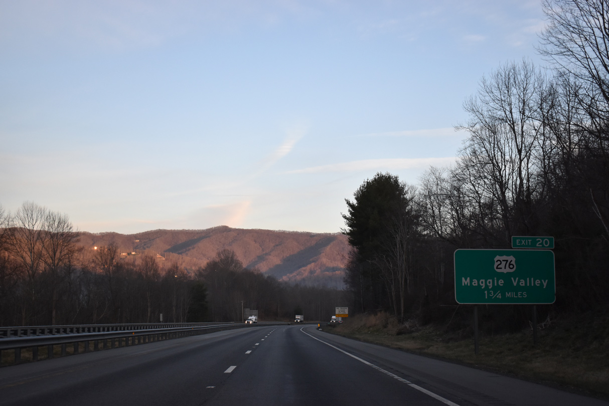
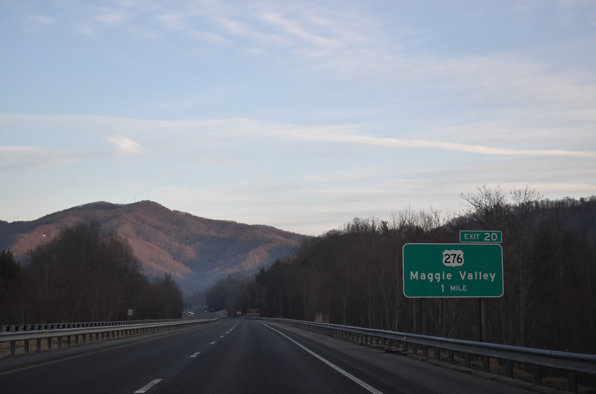
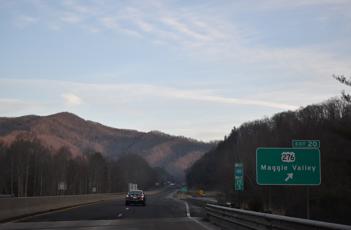
| Continuing northwest from Coleman Gap, Interstate 40 next meets the north end of U.S. 276 (Johnathan Creek Road) at Exit 20. 03/14/22 |
|
| U.S. 276 travels just 106 miles from I-40 at Cove Creek south to I-185/385 at Mauldin, South Carolina. 03/14/22 |
|
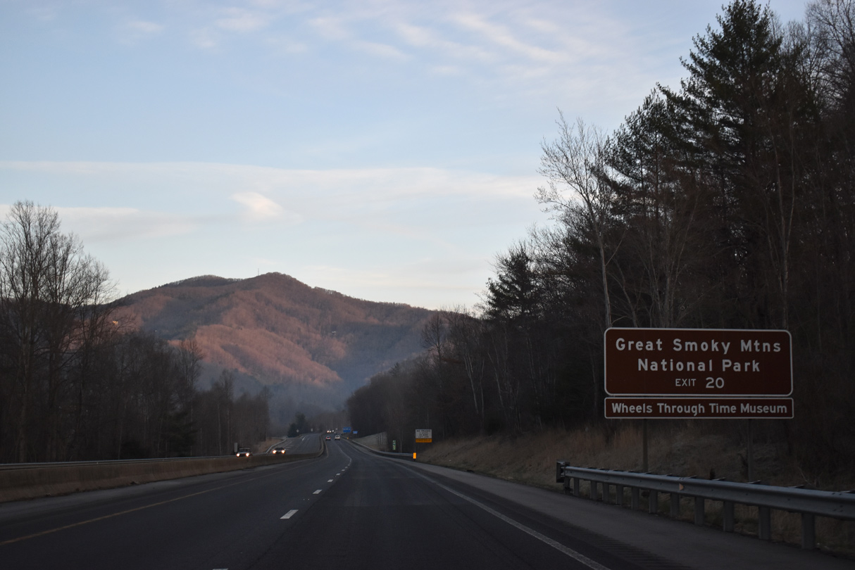
| Exit 20 represents the last connection from I-40 west to Great Smoky Mountains National Park. 03/14/22 |
|
| U.S. 276 (Jonathan Creek Road) heads 5.95 miles south to U.S. 19 (Soco Road / Dellwood Road) at Dellwood. Maggie Valley lies four miles west from U.S. 276 along U.S. 19. 03/14/22 |
|
| Interstate 40 accompanies Johnathan Creek north around Seay Mountain to the Pigeon River by Hall Ridge. 03/14/22 |
|
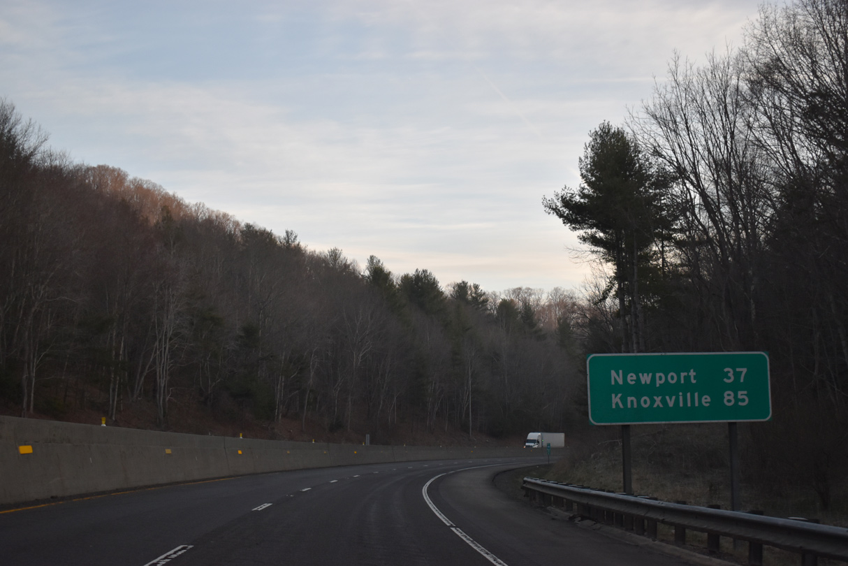
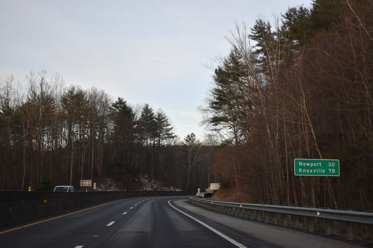
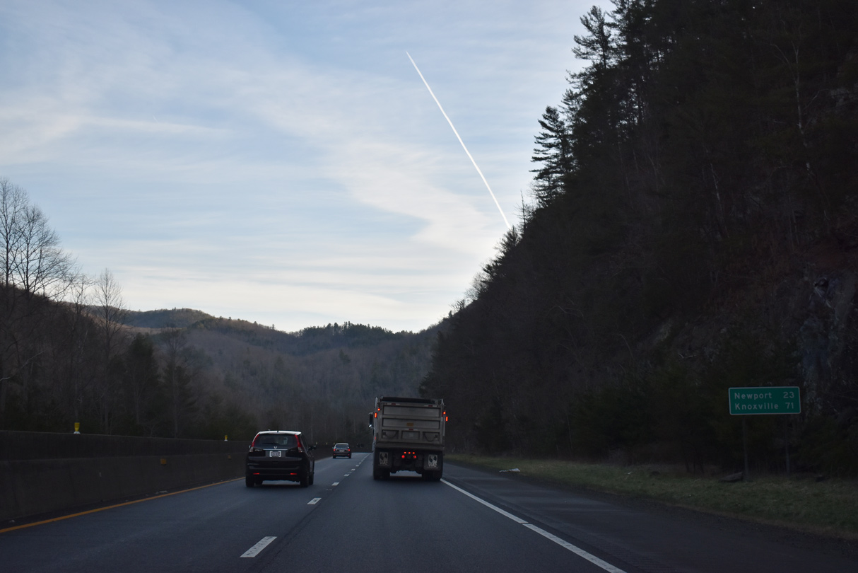
| Located 37 miles to the north, Newport, Tennessee lies beyond the Great Smoky Mountains and Stone Mountain. 03/14/22 |
|
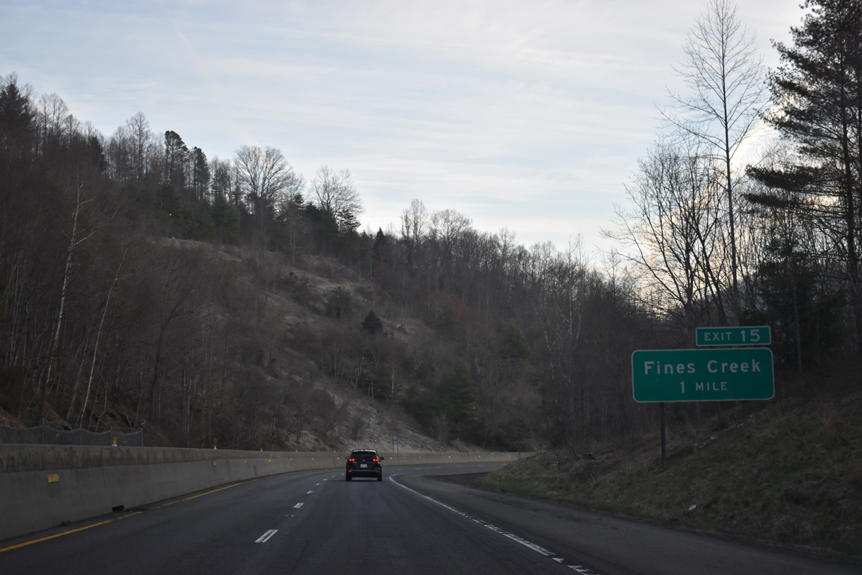
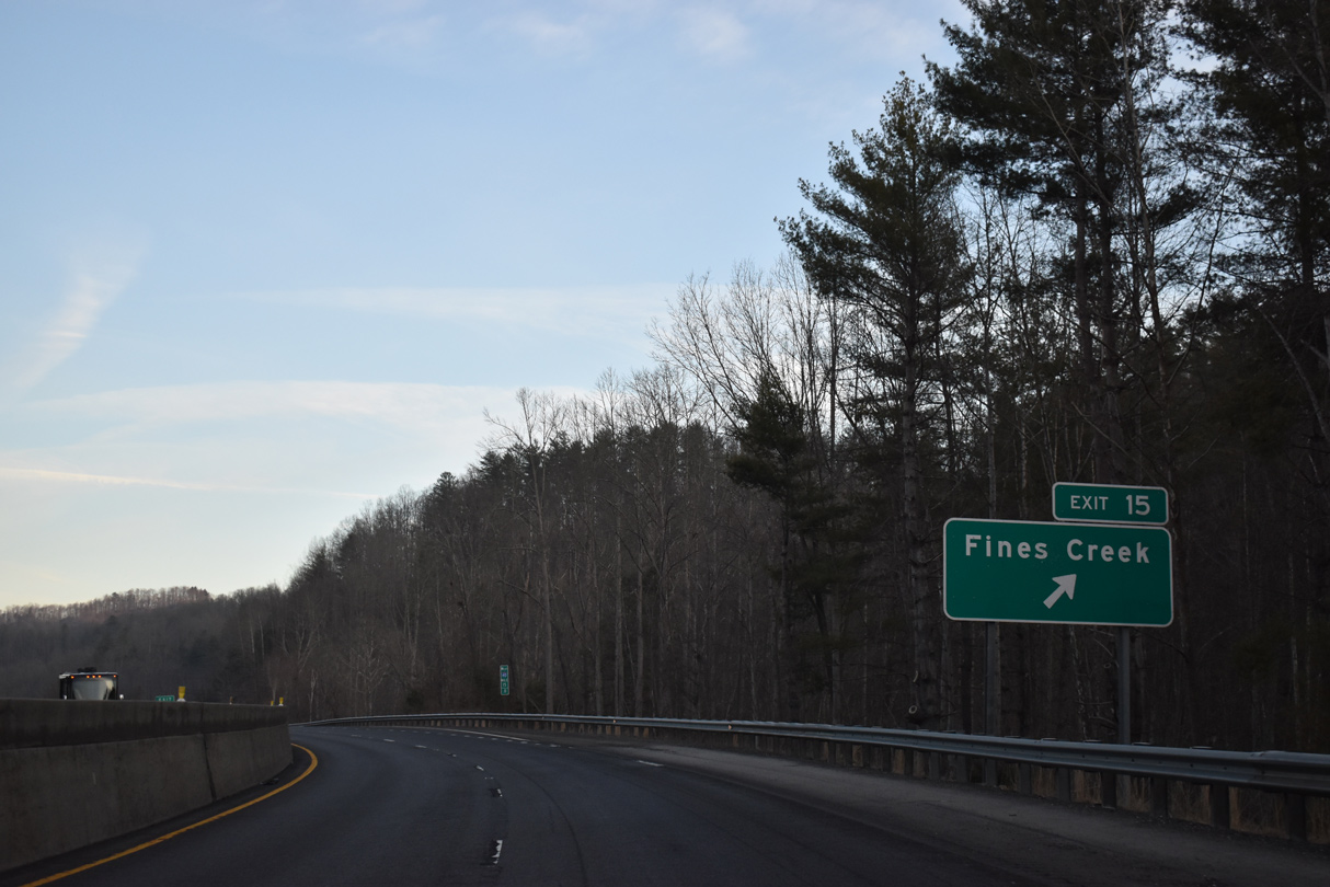
| Fines Creek Road (SR 1338) meets Interstate 40 at a diamond interchange (Exit 15) along the east end of Waterville Lake. 03/14/22 |
|
| Fines Creek Road (SR 1338) meanders eastward along Hurricane Mountain to the settlement of Fines Creek and south from Exit 15 to White Oak Road (SR 1346). 03/14/22 |
|
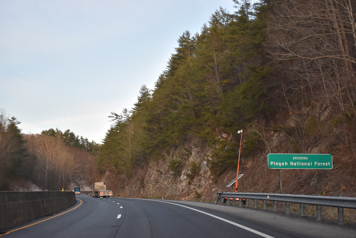
| Straddling Waterville Lake west from Exit 15, Interstate 40 continues into Pisgah National Forest. 03/14/22 |
|
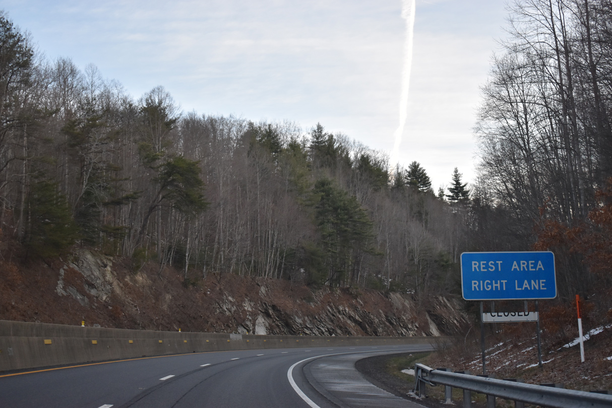
| Opened in 1971 and renovated in 2009, the Haywood Rest Area lines the westbound lanes of Interstate 40 at milepost 10.1 03/14/22 |
|
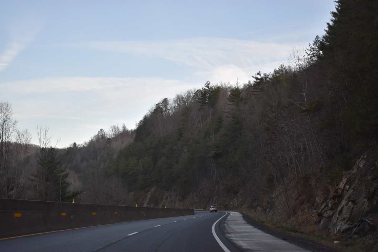
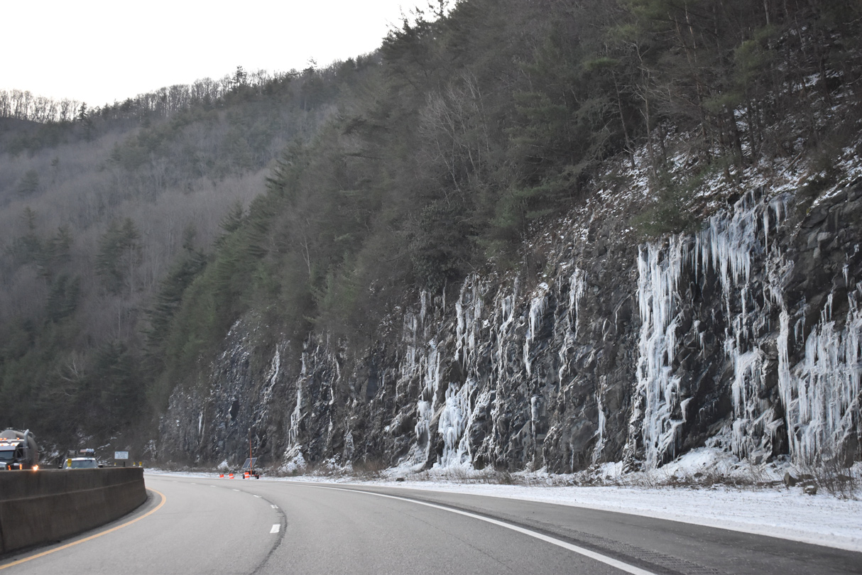
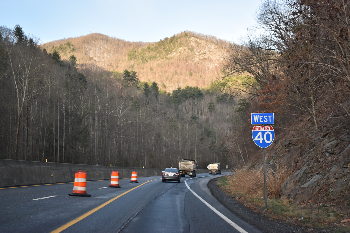
| Progressing north through Pigeon River Gorge, Interstate 40 navigates through a number of S-curves between Longarm Mountain and Hurricane Mountain. 03/14/22 |
|
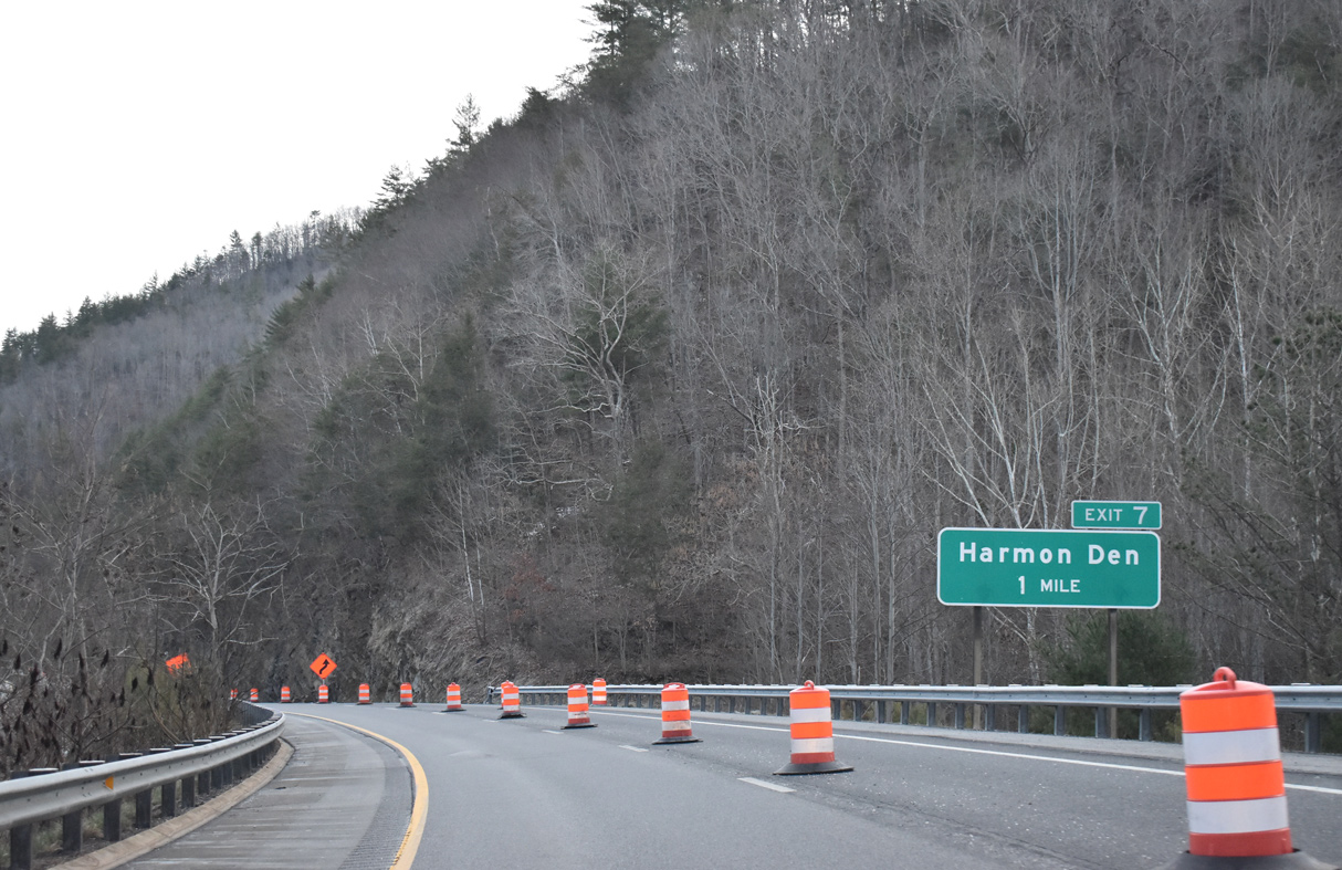
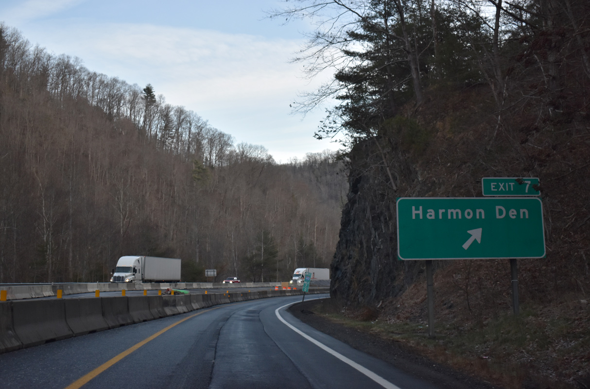
| Exit 7 joins Interstate 40 with Cold Springs Road east and National Forest Service Road 288 (Harmon Den Road) west. 03/14/22 |
|
| Exit 7 serves an isolated area within Pisgah National Forest. Cold Springs Road stems east along Cold Springs Creek between Hurricane Ridge and Harmon Den Mountain. N.F. Service Road 288 (Harmon Den Road) hugs the west bank of the Pigeon River before climbing toward Buzzard Roost. 03/14/22 |
|
| Snowbird Mountain rises to the north of Interstate 40 on the ensuing stretch. 03/14/22 |
|
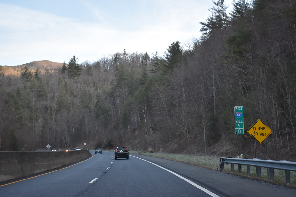
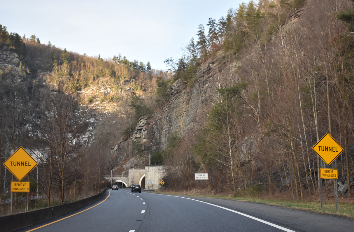
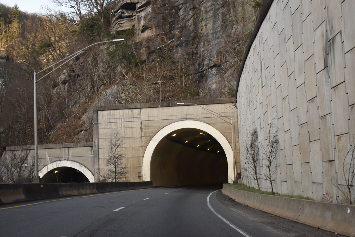
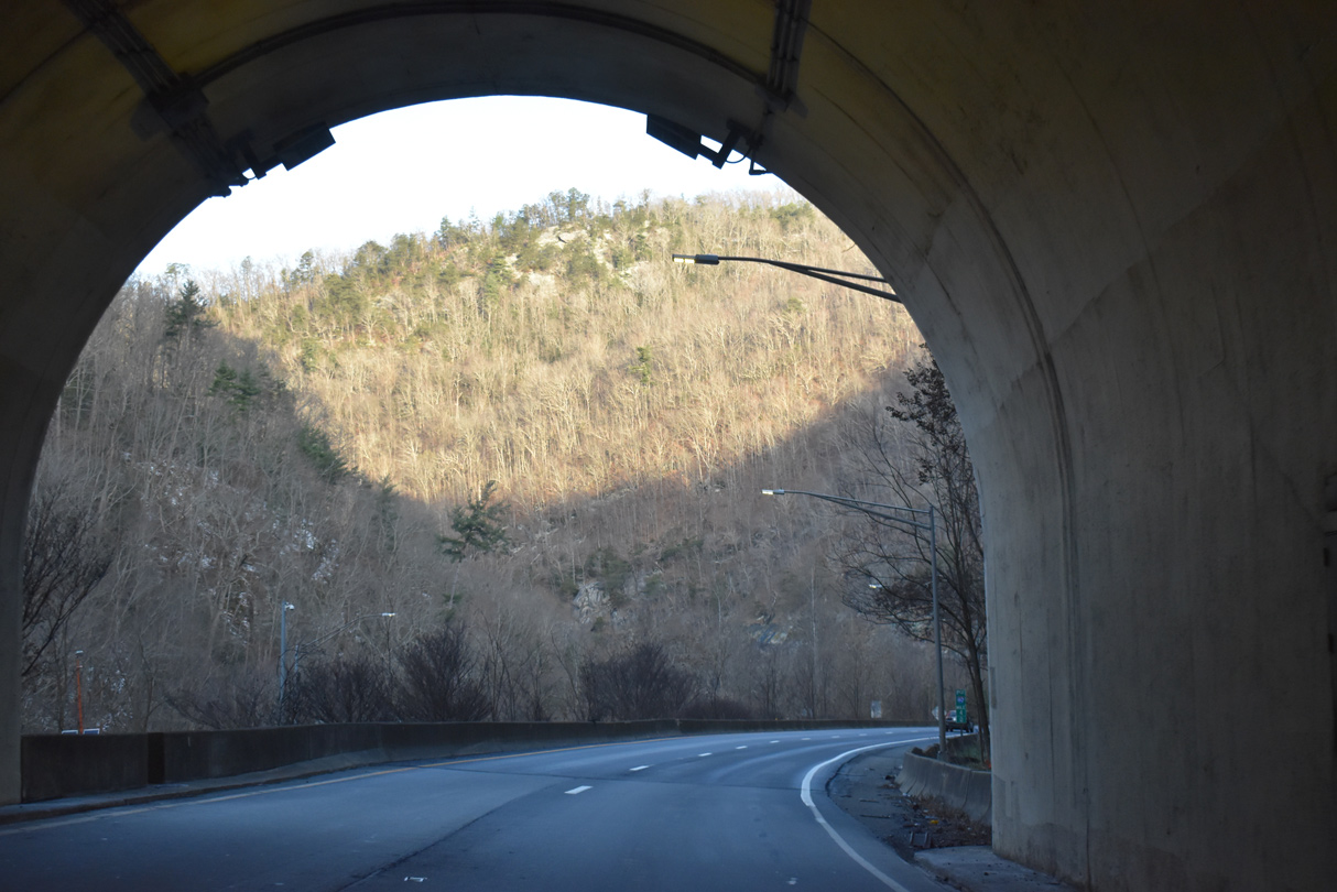
| West of Big Bend along the Pigeon River, Interstate 40 passes through a tunnel at the south end of Dry Gap Ridge. 03/14/22 |
|
| The Pigeon River Gorge section of Interstate 40 opened to traffic in 1968. The tunnels along I-40 were the first along the Interstate system east of the Mississippi River.2 03/14/22 |
|
| A rock slide in 1985 forced the closure of the westbound lanes for a period of time. During construction, a temporary eastbound bypass lane was added as westbound traffic was redirected through the eastbound tunnel. This bypass lane remains in place today, but is not open to traffic. 03/14/22 |
|
| The tunnel on Interstate 40 westbound is 1,045 feet in length.3 03/14/22 |
|
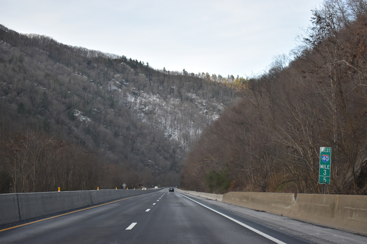
| Curving westward beyond mile marker 3.5, Interstate 40 passes by the northern slope of Longarm Mountain. 03/14/22 |
|
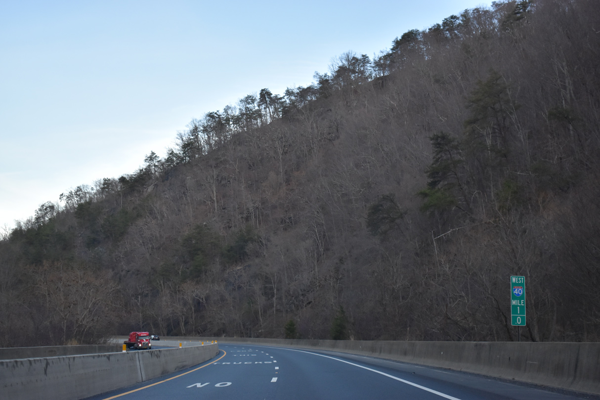
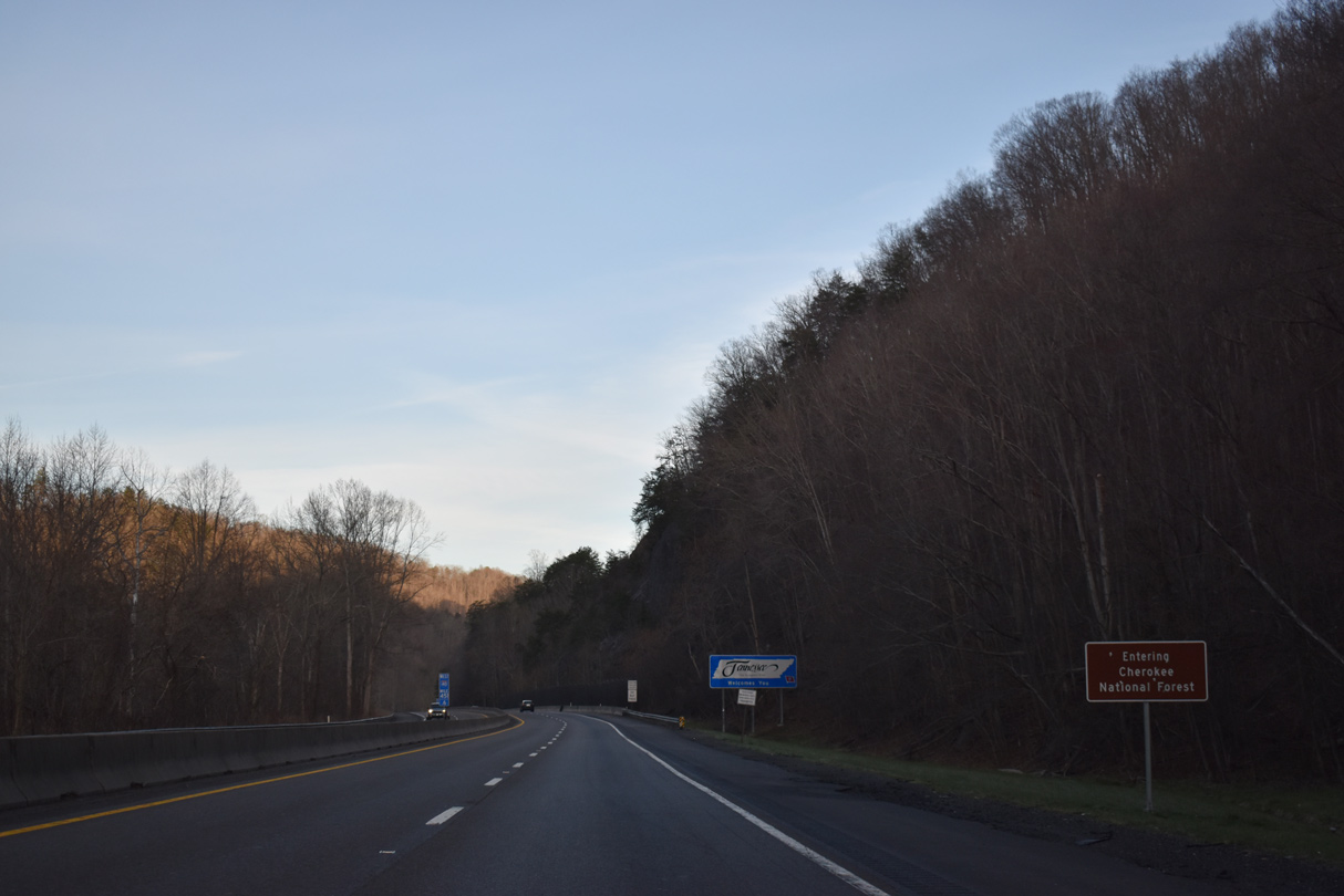
| Interstate 40 crosses into Cocke County, Tennessee northwest between Waterville and Snowbird Mountain. 03/14/22 |
Page Updated 01-20-2023.


 West
West