|
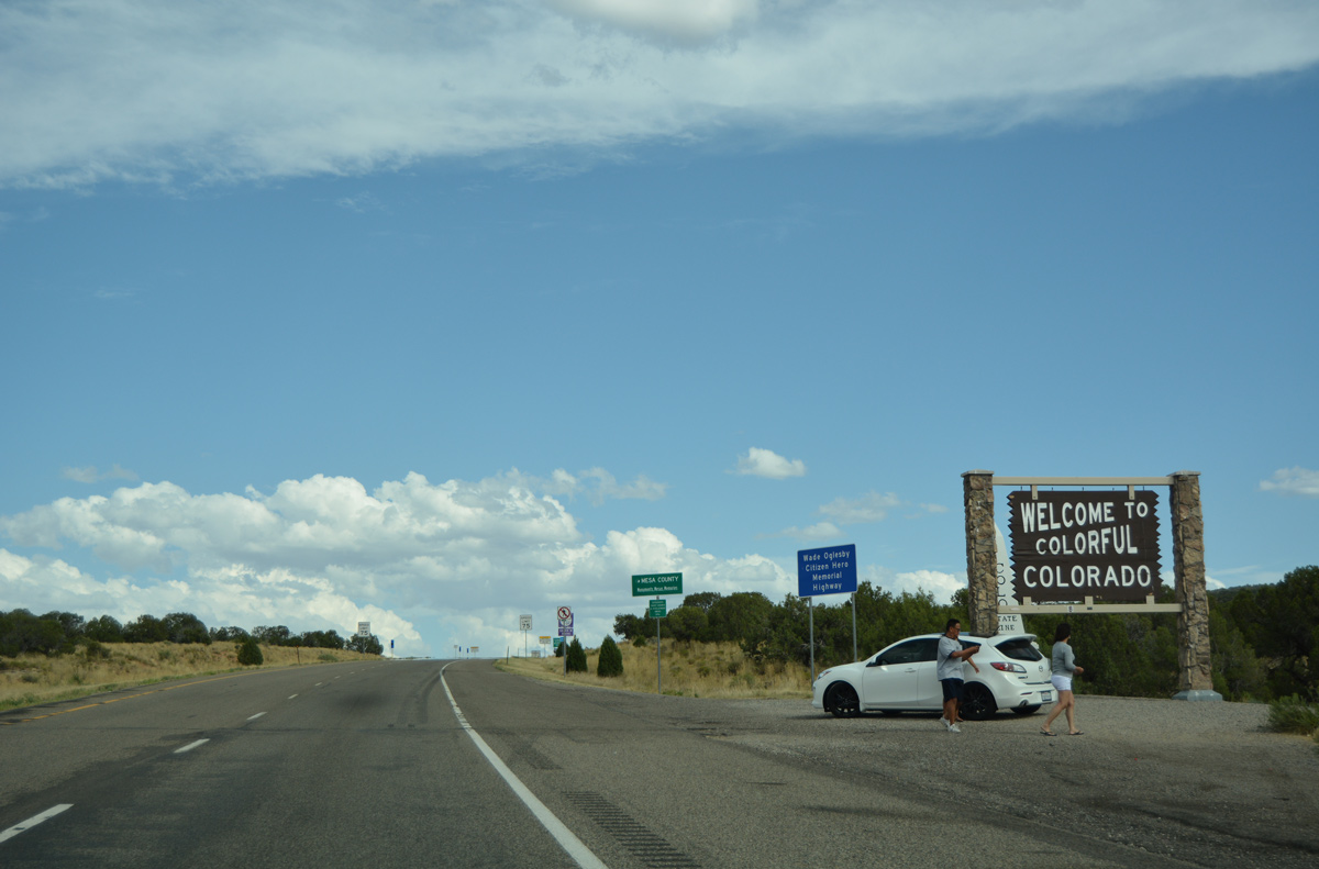
| Welcome to Colorado sign posted next to the Utah state line on I-70. A pull off affords a stopping point for motorists. 08/10/16 |
|
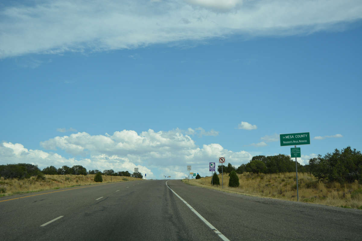
| Mesa County sign, touting monuments, mesas and memories. Speed limits reduce from 80 to 75 miles per hour as travelers enter the Centennial State. 08/10/16 |
|
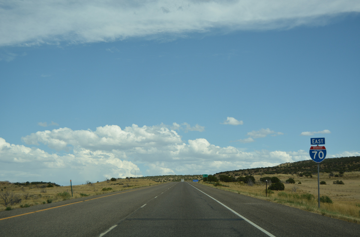
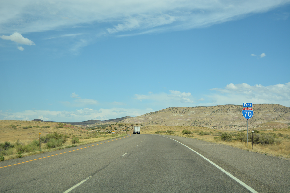
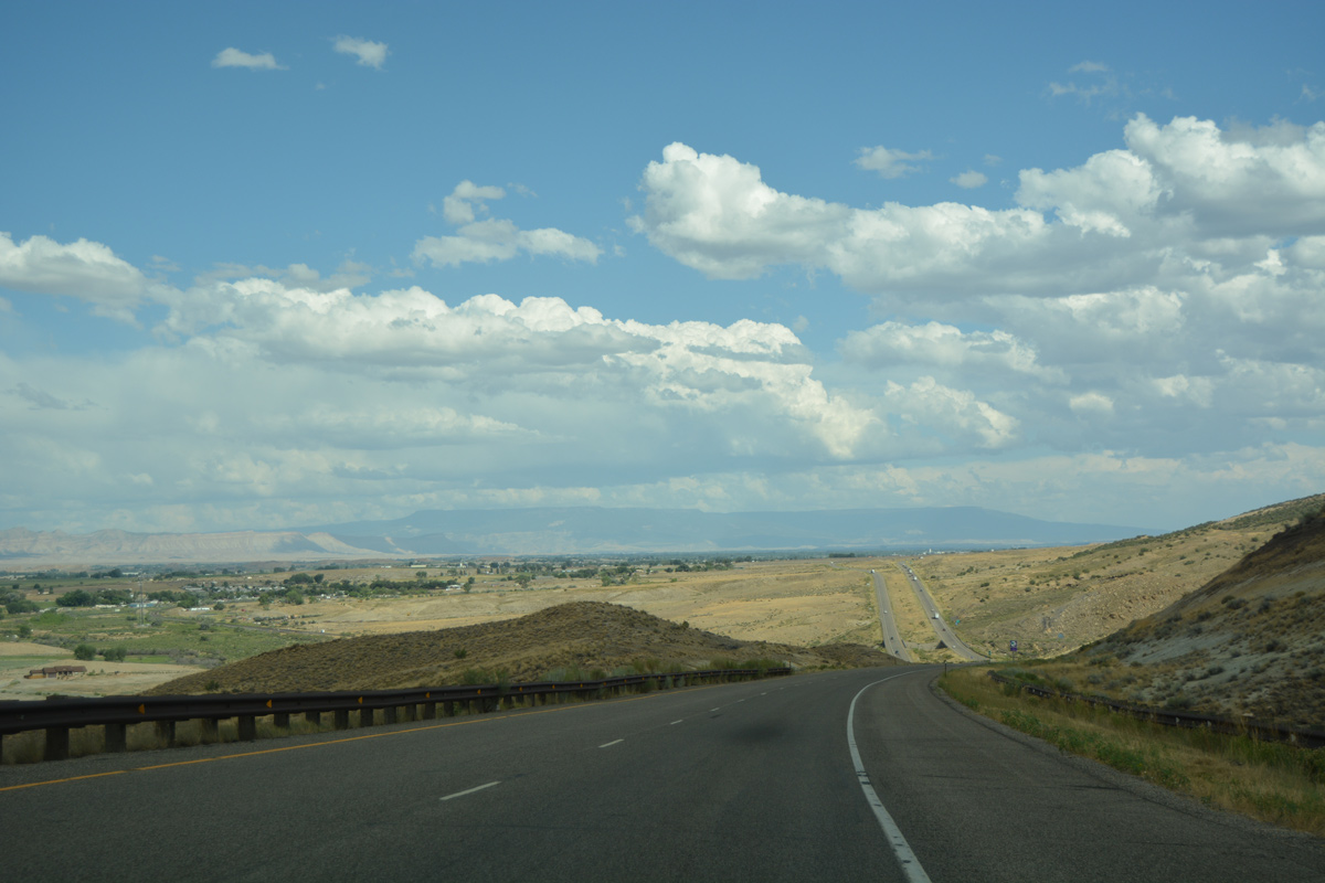
| I-70 makes an S-curve southeastward at around 4,900 feet in elevation beyond the first confirming marker in Colorado. 08/10/16 |
|
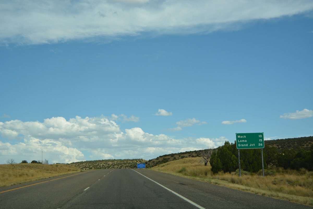
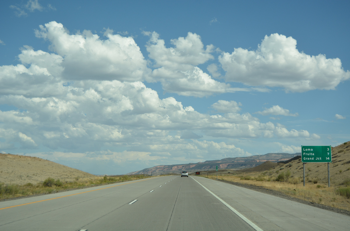
| The unincorporated communities of Mack and Loma represents the first population centers along Interstate 70 since Green River, Utah. Grand Junction follows in 26 miles. 08/10/16 |
|
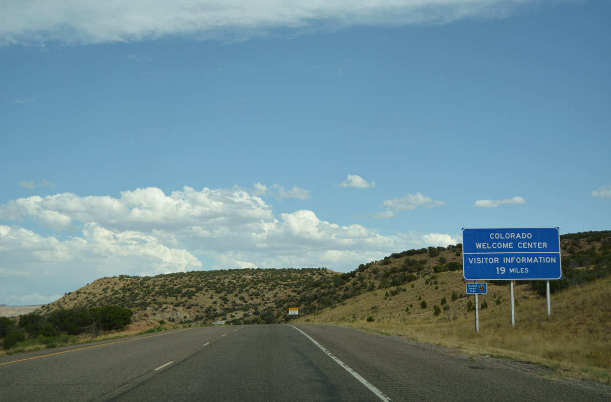
| The Colorado welcome center lies 19 miles east of the state line at just off the freeway in the city of Fruita. 08/10/16 |
|
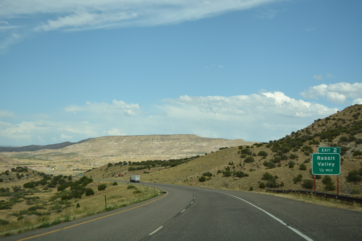
| Interstate 70 enters Rabbit Valley at Exit 2 in one half mile. 08/10/16 |
|
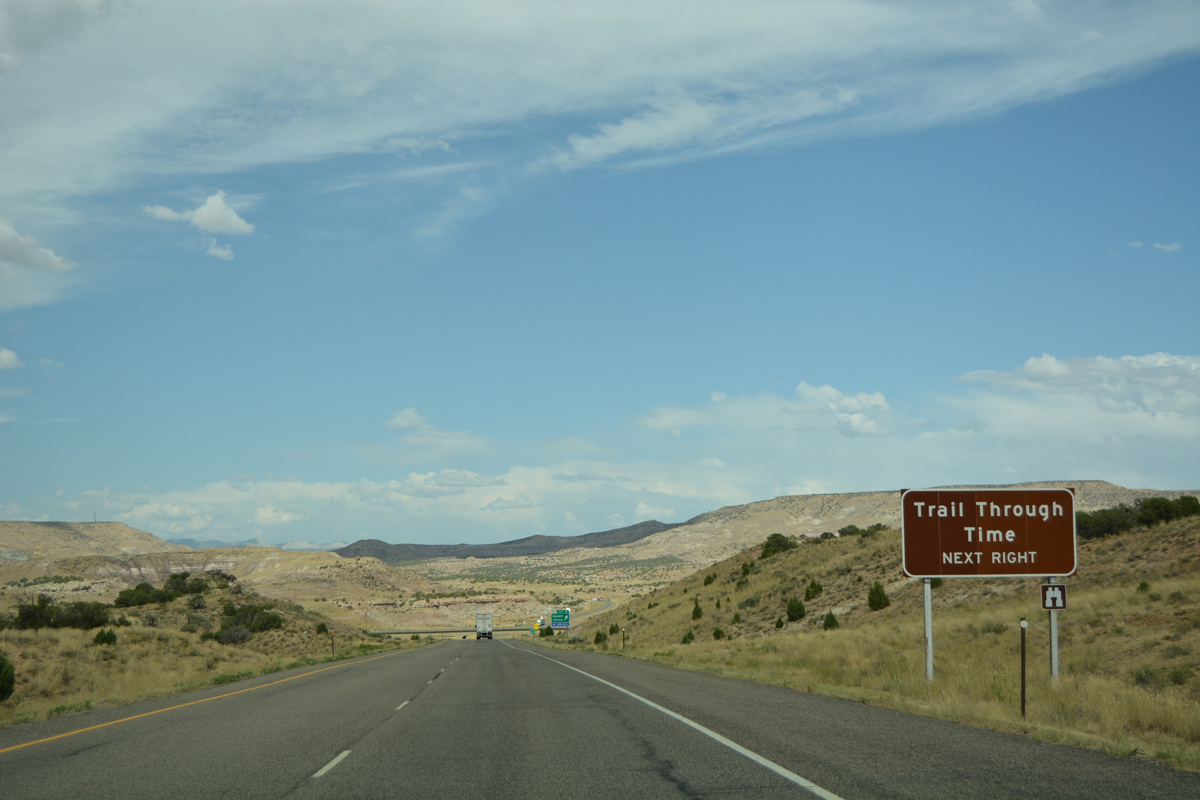
| Exit 2 connects the nearby Trail Through Time, a 1.5 mile long loop by the Mygatt-Moore quarry. Excavations at the quarry have unearthed a variety of dinosaur bones.1 08/10/16 |
|
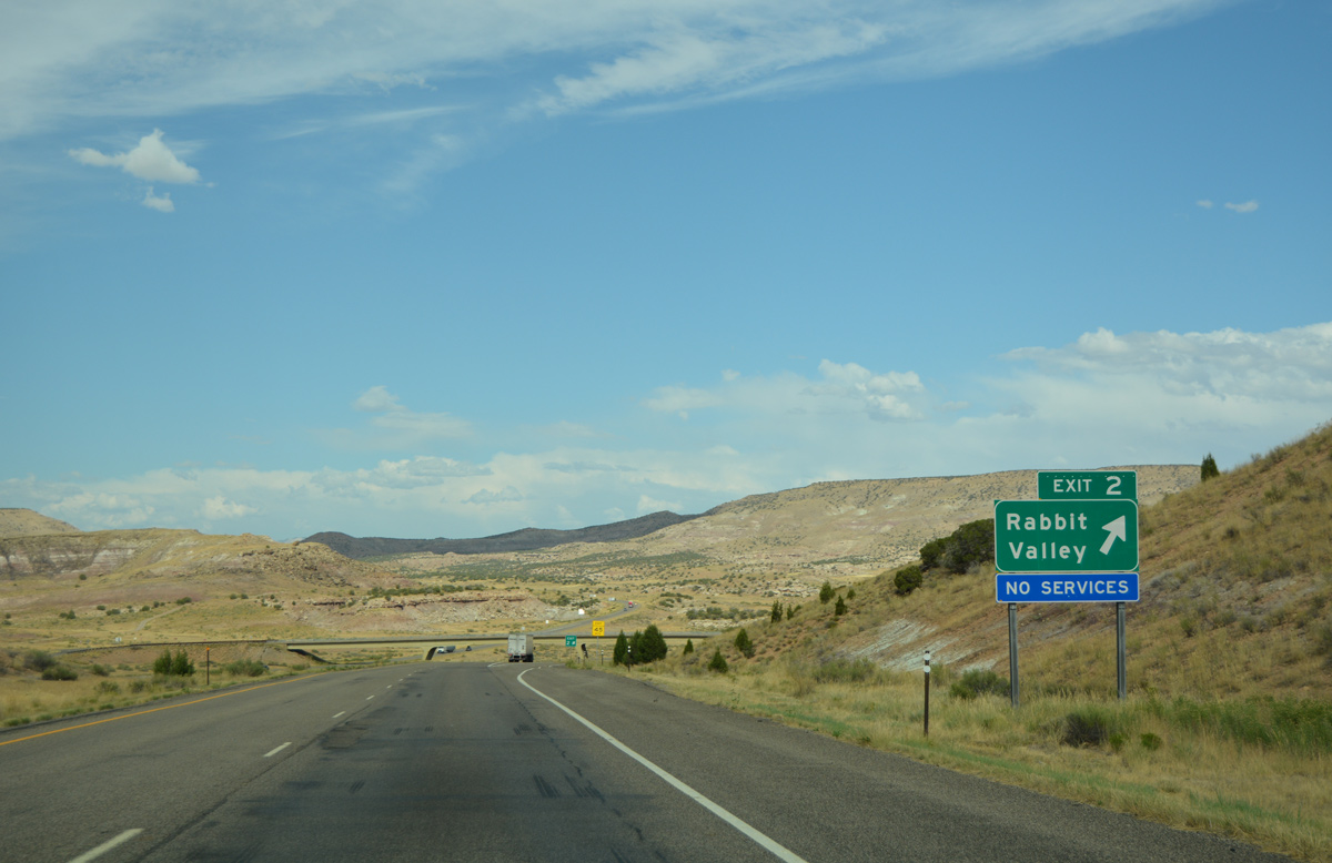
| Eastbound I-70 reaches the diamond interchange (Exit 2) with Rabbit Valley Road. Unpaved roads tie in from the north and east at Exit 2. 08/10/16 |
|
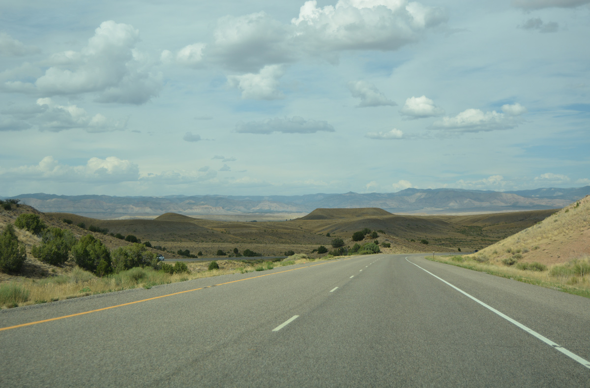
| Interstate 70 meanders northeast through Rabbit Valley to milepost 5. 08/10/16 |
|
| Emerging from Rabbit Valley, Mack Mesa and the Salt Creek valley spreads into view. 08/10/16 |
|
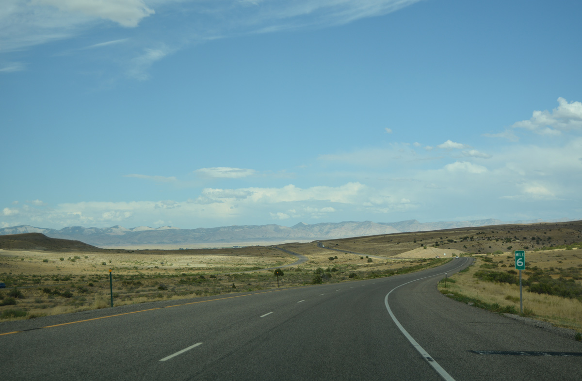
| A wide open view of Interstate 70 east at milepost 6. The Colorado River flows a short distance to the south. 08/10/16 |
|
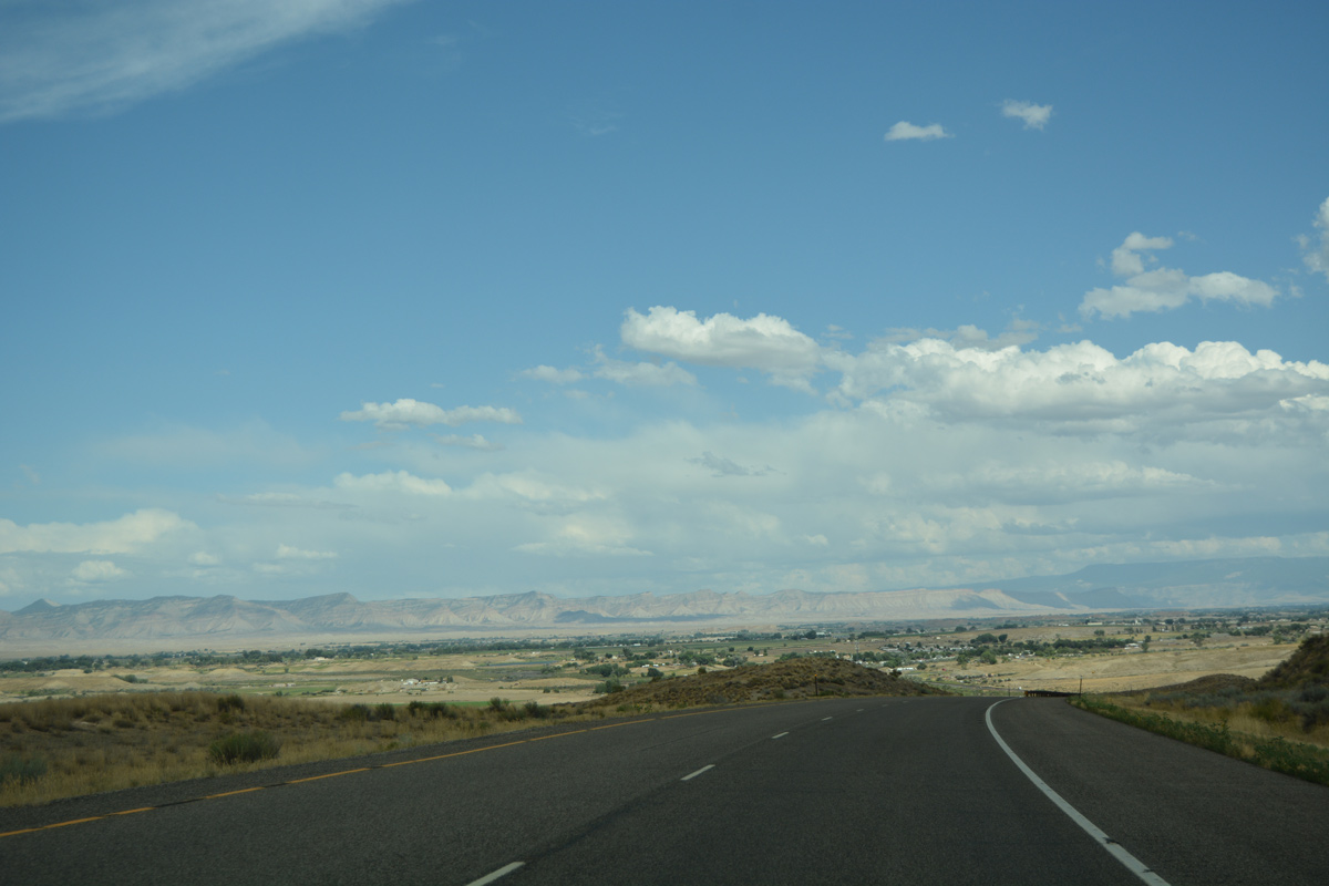
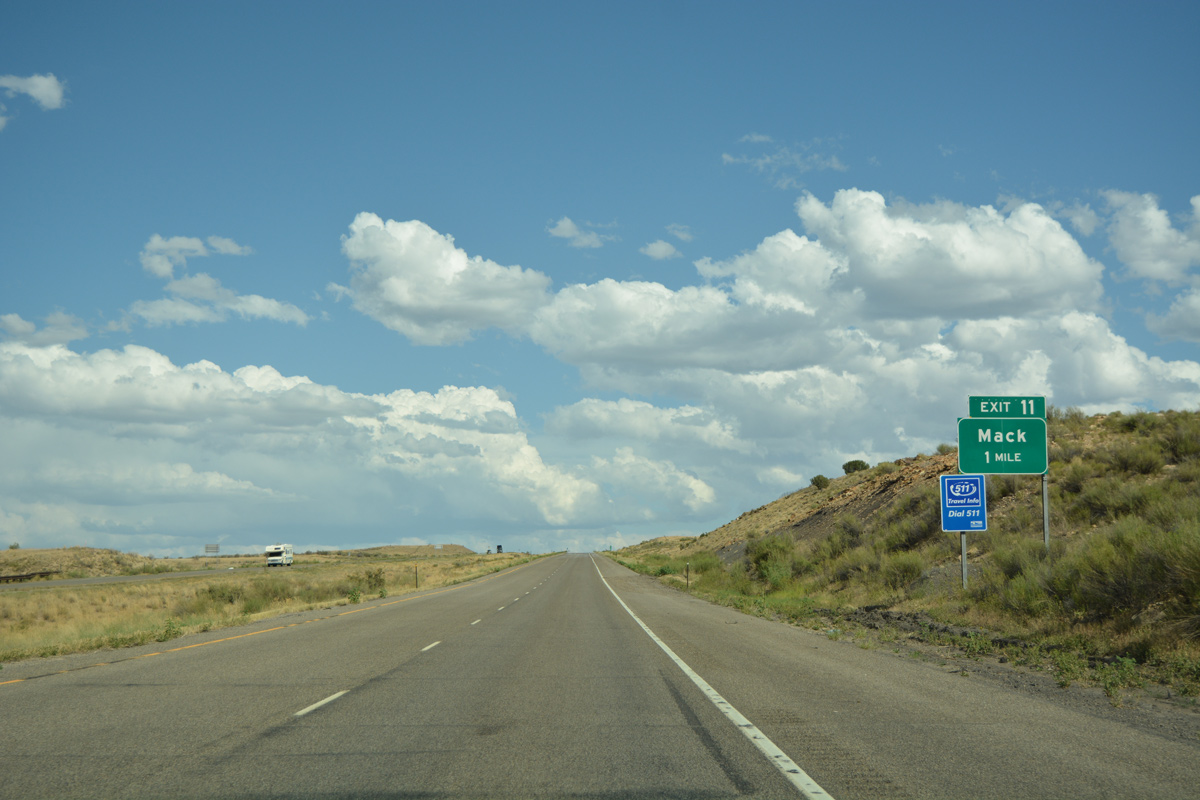
| The community of Mack appears to the east as Interstate 70 lowers around 200 feet in elevation from a nearby bluff. 08/10/16 |
|
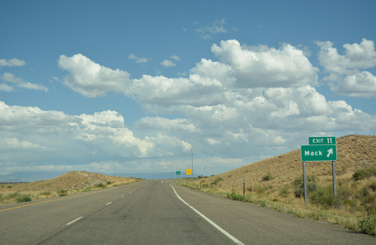
| U.S. 6 splits from I-70/U.S. 50 at Exit 11 to overtake Old U.S. 6-50 at Mack. 08/10/16 |
|
| The first independent segment of U.S. 6 east in Colorado, inventoried by CDOT as Route 006A, travels 15.00 miles from Exit 11 to Mack, Loma, Fruita and Exit 26. 08/10/16 |
|
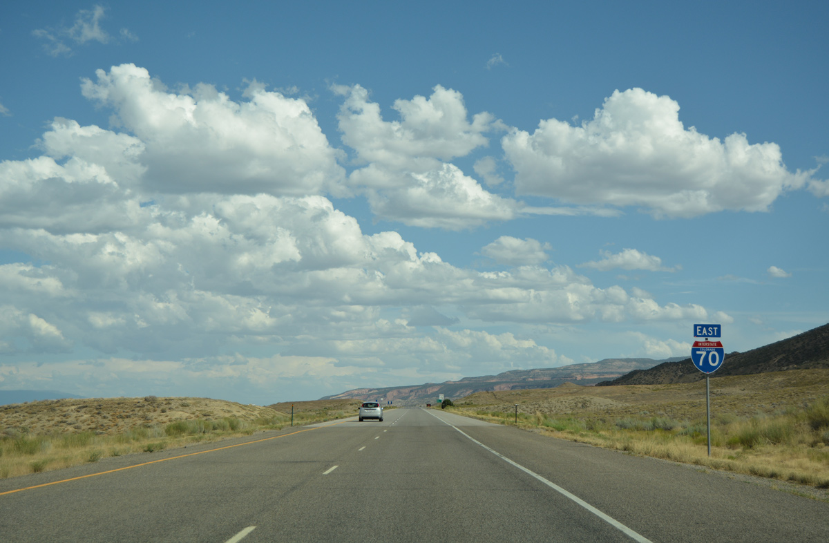
| Interstate 70 angles southeast, parallel to bluffs rising to the north of the Colorado River. 08/10/16 |
|
| Loma and the adjacent city of Fruita line U.S. 6 (and old U.S. 50) over the next seven miles. The regional service center of Grand Junction is just seven miles further. 08/10/16 |
|
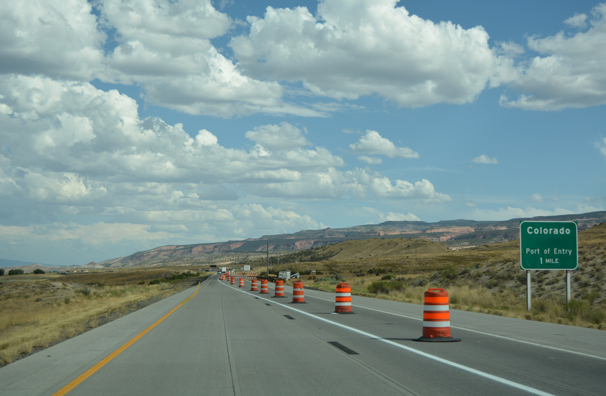
| A port of entry operates along I-70 east just ahead of the Loma exit. 08/10/16 |
|
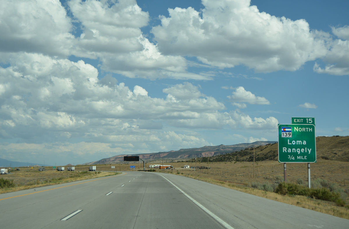
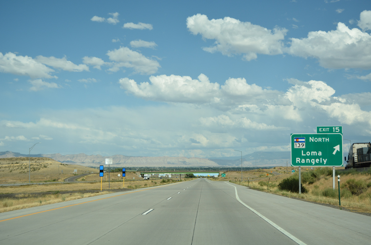
| SH 139 commences a 72.07 mile route from I-70 at Exit 15 north to SH 64, east of Rangley. 08/10/16 |
|
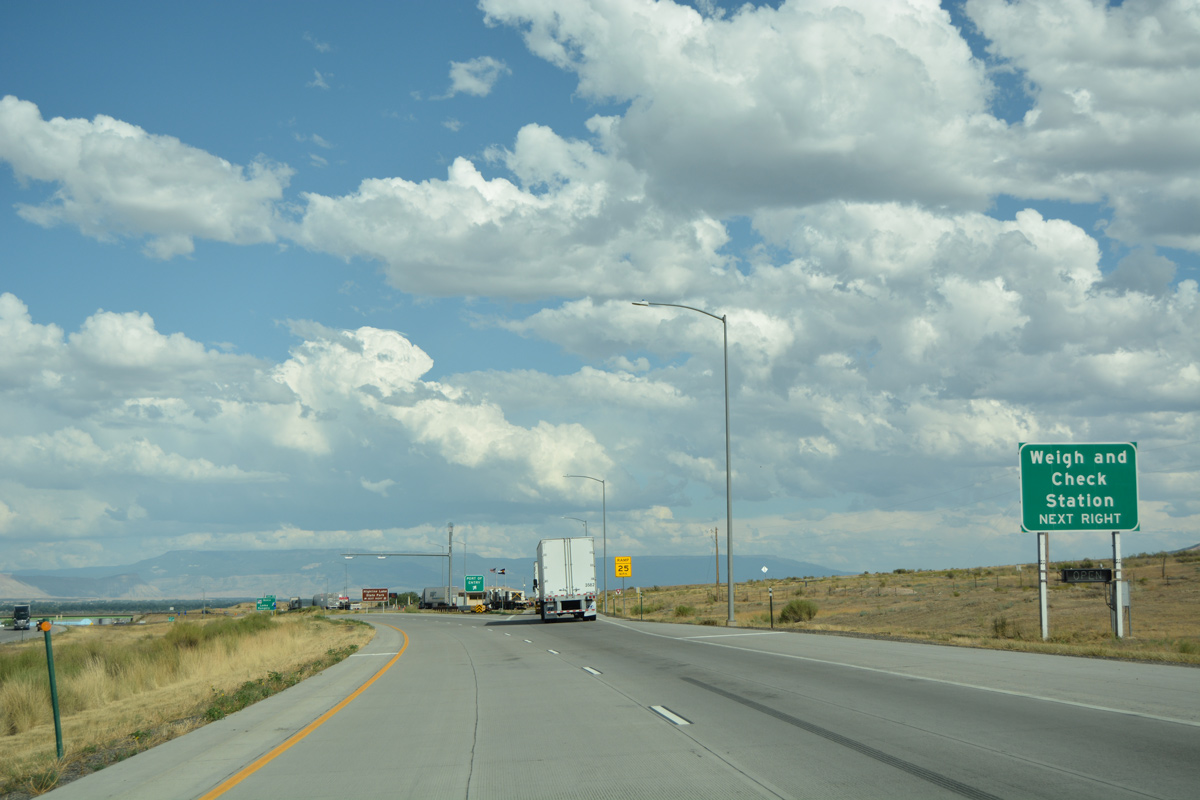
| Commercial truckers depart the eastbound freeway for the Loma area weigh station just ahead of Exit 15. 08/10/16 |
|
| SH 139 stems north from the diamond interchange (Exit 15) with I-70 across ranch and agricultural areas to U.S. 6 at Loma. North from there, SH 139 represents a scenic highway through western Garfield County to Douglas Pass and the Canyon Pintado Historic District. 08/10/16 |
|
| The distance Book Cliffs come into view as I-70 winds eastward. 08/10/16 |
|
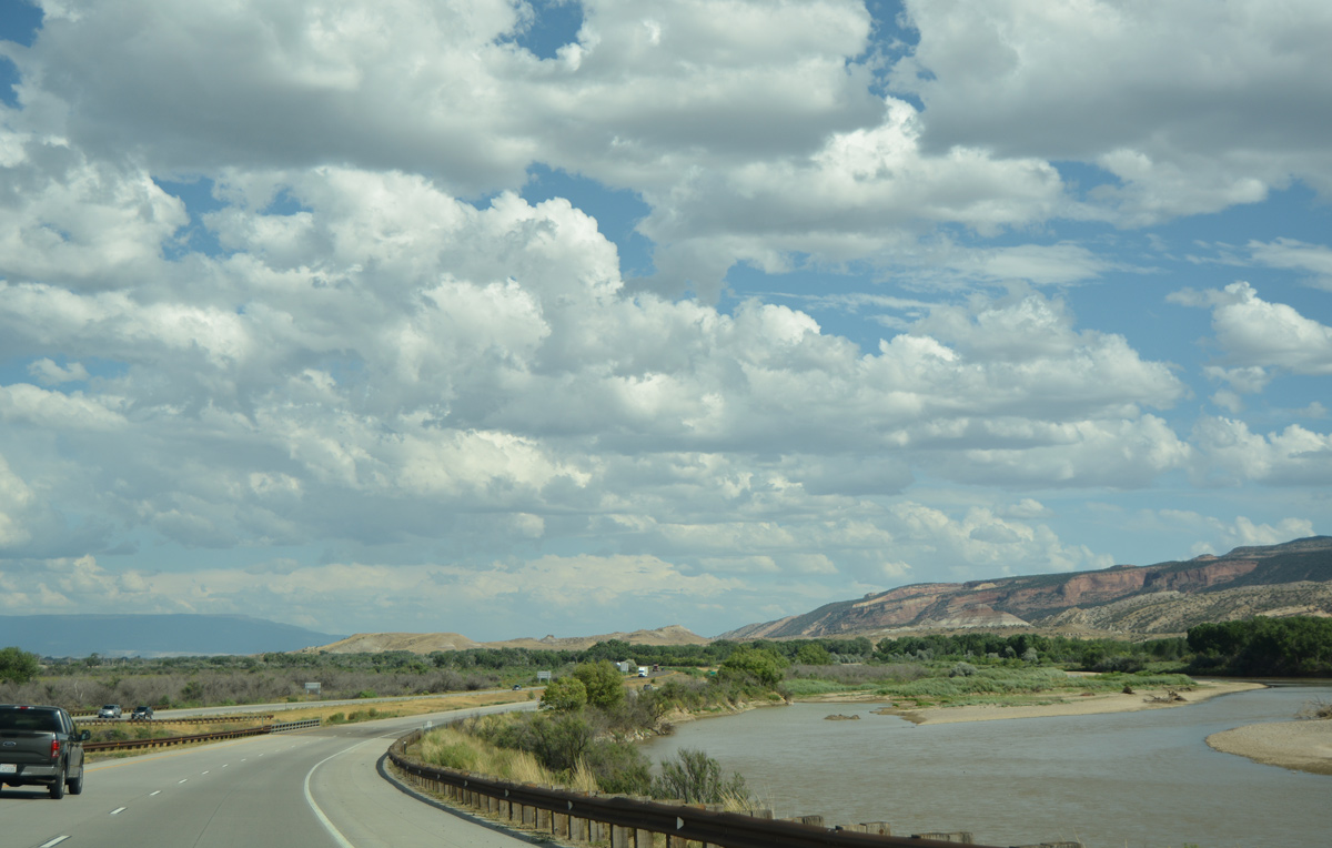
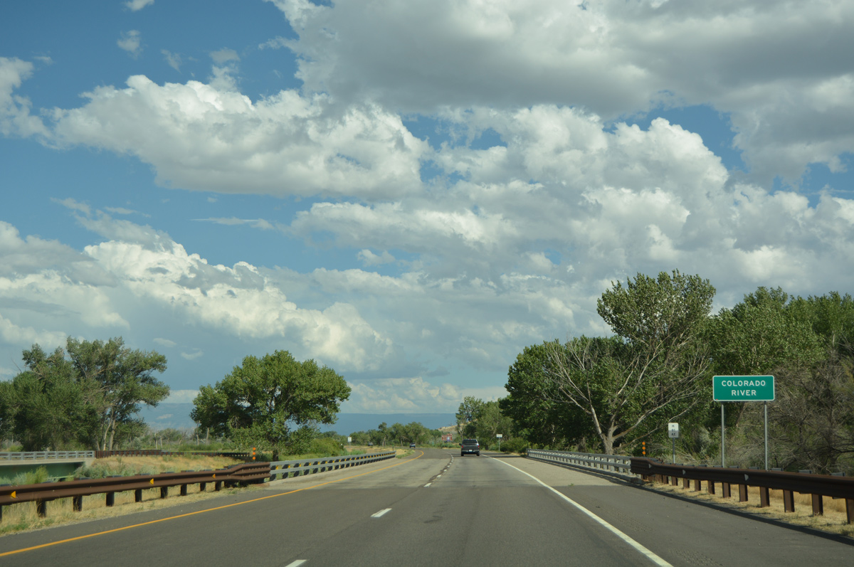
| Travelers on I-70 east see the Colorado River for the first time as the river flows west into Horsethief Canyon. 08/10/16 |
|
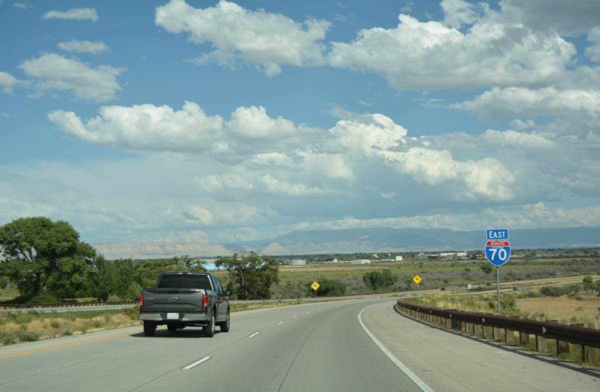
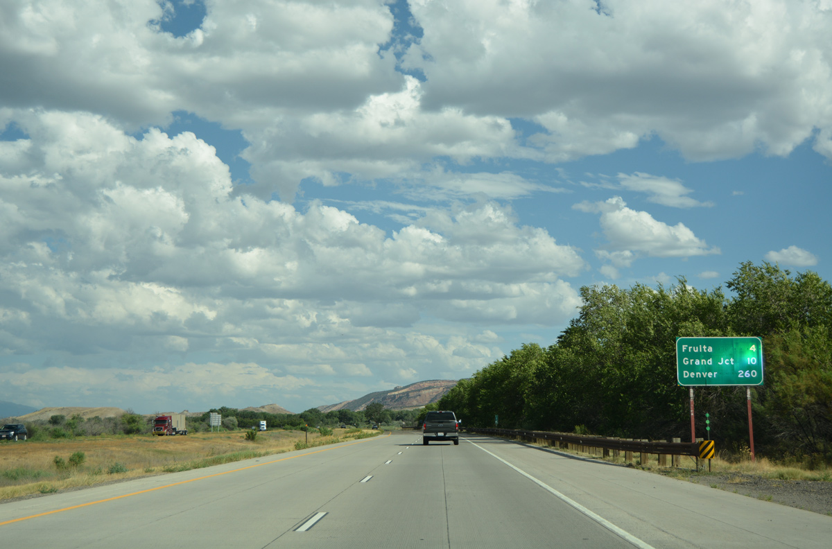
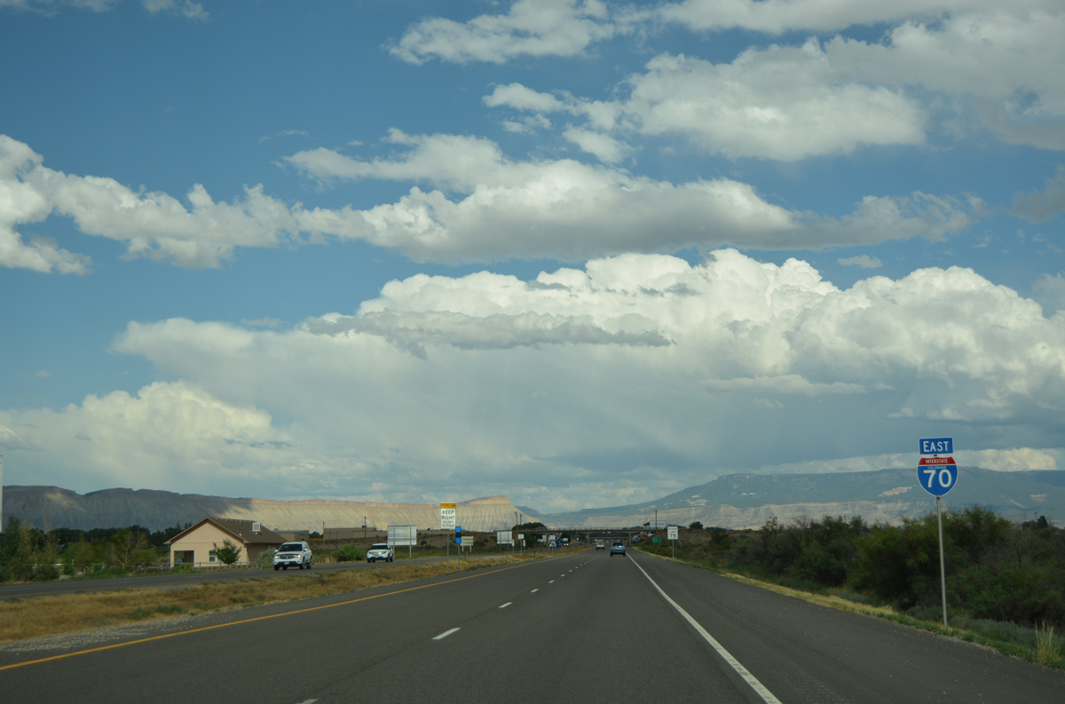
| Denver debuts on eastbound distance signs in Colorado at 260 miles out. Grand Junction lies ten miles ahead. 08/10/16 |
|
| Interstate 70 spans the north channel of the Colorado River twice on bridges built in 1970. 08/10/16 |
|
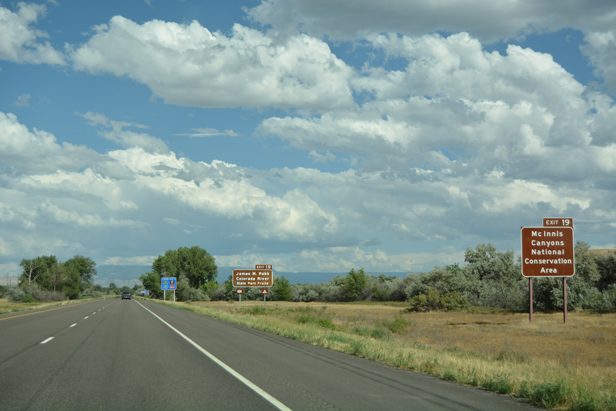
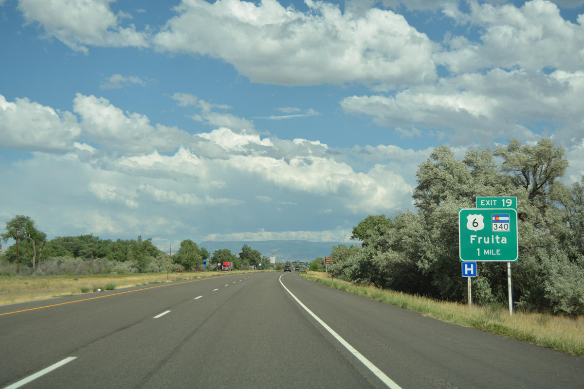
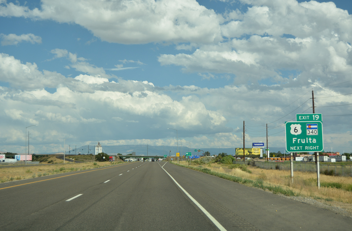
| SH 340 originates in the city of Fruita just north of upcoming Exit 19. The state highway leads south to connect with Kings View Road west toward the McInnis Canyons National Conversation Area. 08/10/16 |
|
| SH 340 north ends at parallel U.S. 6 via Aspen Avenue and Coulson Street. U.S. 6 runs along Union Pacific Railroad tracks along the south side of the Fruita street grid.
Prior to construction of I-70, SH 340 followed Maple Street south to a truss bridge across the Colorado River. 08/10/16 |
|
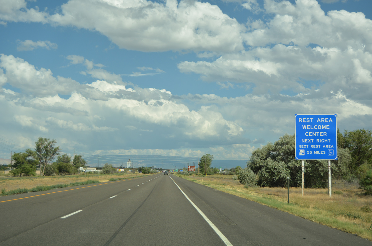
| The first rest area for Interstate 70 east in Colorado lies off the freeway along SH 340, south of Exit 19. 08/10/16 |
|
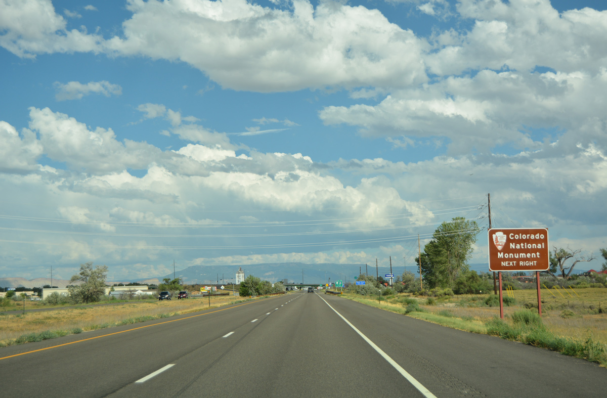
| Colorado National Monument lies south of the Colorado River around Monument Mesa and Monument Canyon. Rim Rock Road, a 23 mile long scenic drive, stems south from SH 340 to the park area. Elevations in the park range between approximately 4,700 feet at the canyon floor and 7,200 feet above sea level on top of the mesa. 08/10/16 |
|
| Eastbound I-70/U.S. 50 reach the dumbbell interchange (Exit 19) with SH 340 in Fruita. SH 340 runs south of the Colorado River to Redlands and Roseville, ending in 13.34 miles at U.S. 50 in Grand Junction. 08/10/16 |
|
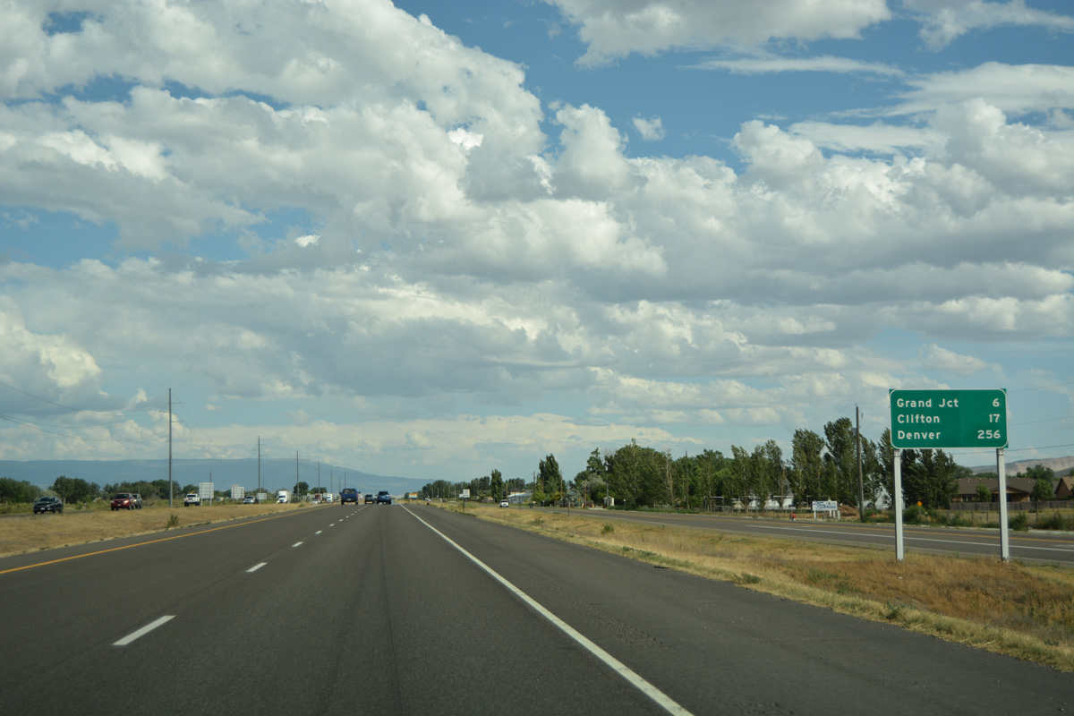
| A south side frontage road accompanies Interstate 70 east through Fruita as the UP Railroad parallels to the north. Motorists reach Grand Junction in six miles and the east suburb of Clifton in 17 miles. 08/10/16 |
|
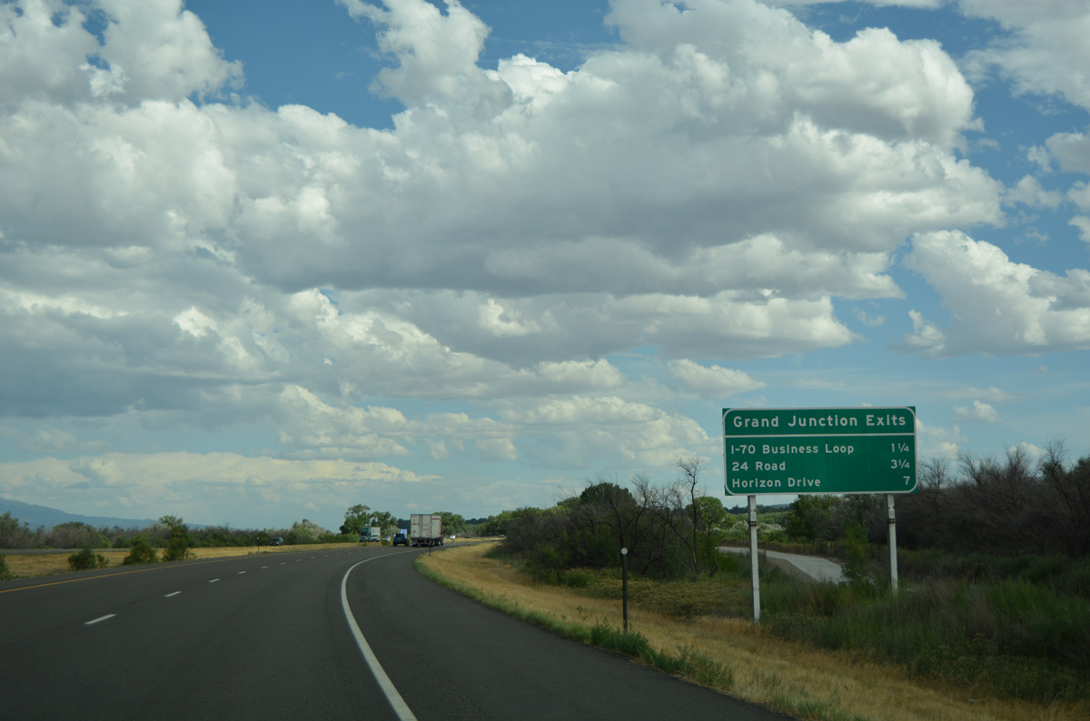
| Three exits line Interstate 70 east within the city of Grand Junction. A joint project from July 2013 to March 2014 by CDOT and the City of Grand Junction converted the exchange with Business Loop I-70 into a DDI. 08/10/16 |
|
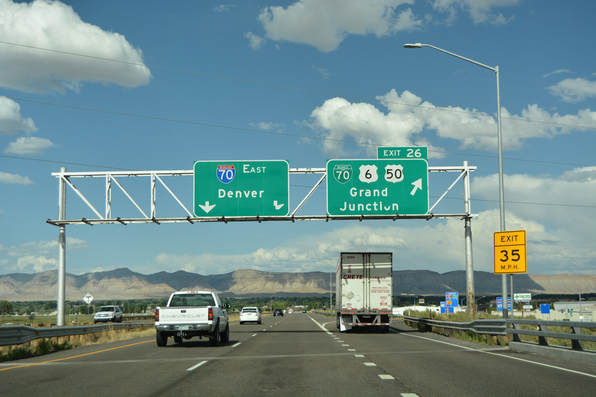
| One mile ahead of the diverging diamond interchange (DDI) with Business Loop I-70 east, U.S. 6 and the split with U.S. 50 east on I-70. The business route travels southeast into Grand Junction, where the routes divide: Business Loop I-70 and U.S. 50 serve Downtown, while U.S. 6 follows North Avenue to Colorado Mesa University. 08/10/16 |
|
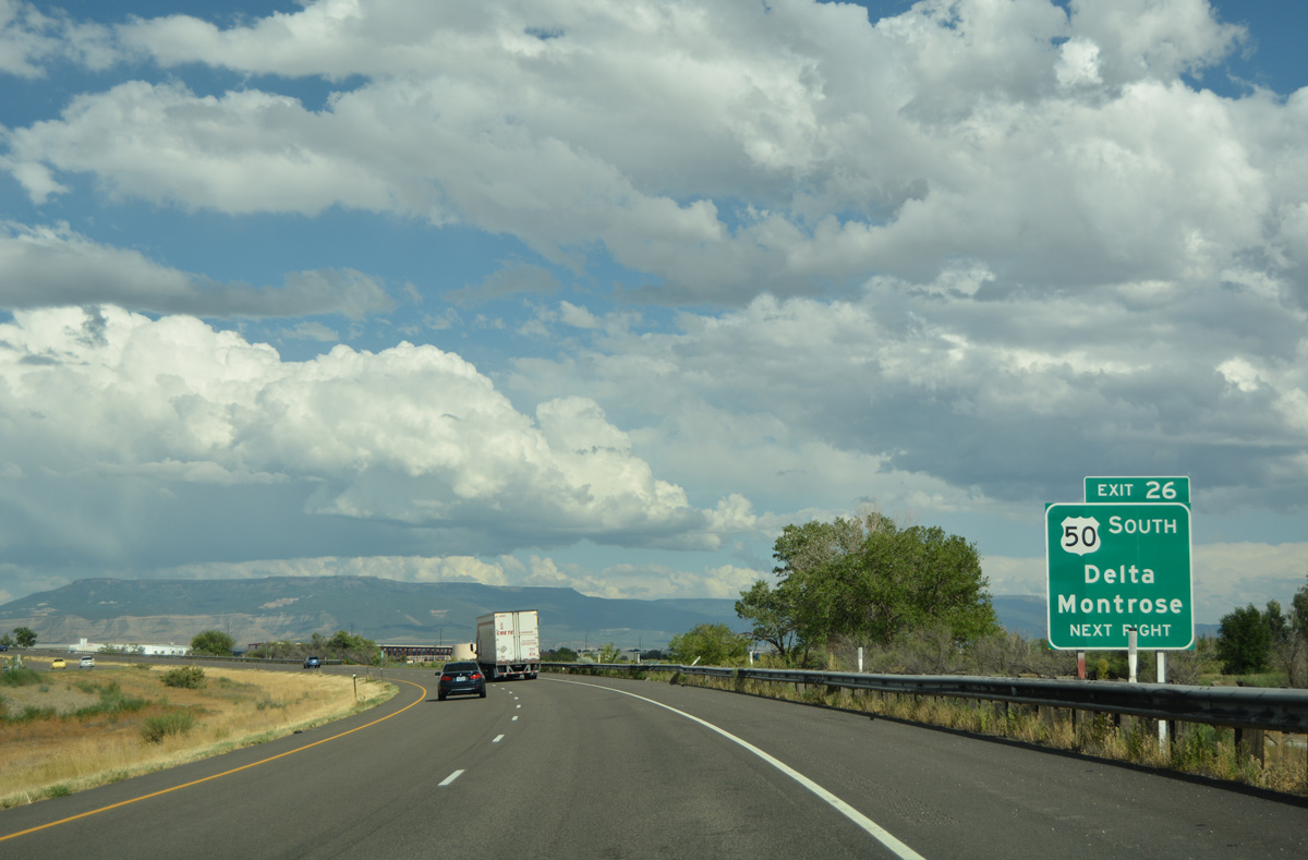
| Within Downtown Grand Junction, U.S. 50 branches to the southeast toward Delta, Montrose and Durango (via U.S. 550); from the U.S. 550 junction in Montrose, U.S. 50 then travels east to Gunnison, Salida, Canon City and Pueblo. 08/10/16 |
|
| Exit 26 departs Interstate 70 as the freeway spans River Road and the UP Railroad. U.S. 50 combines with U.S. 6 from the north, forming a commercial arterial southeast to Mesa Mall and the Rimrock Marketplace retail area. Business Loop I-70 serves industrial areas along the UP Railroad to the east of the Grand Junction business district, returning to I-70 at Clifton. 08/10/16 |
|
| Interstate 70 generally bypasses Grand Junction to the north, straddling or staying just inside the city limits east through milepost 29. 08/10/16 |
|
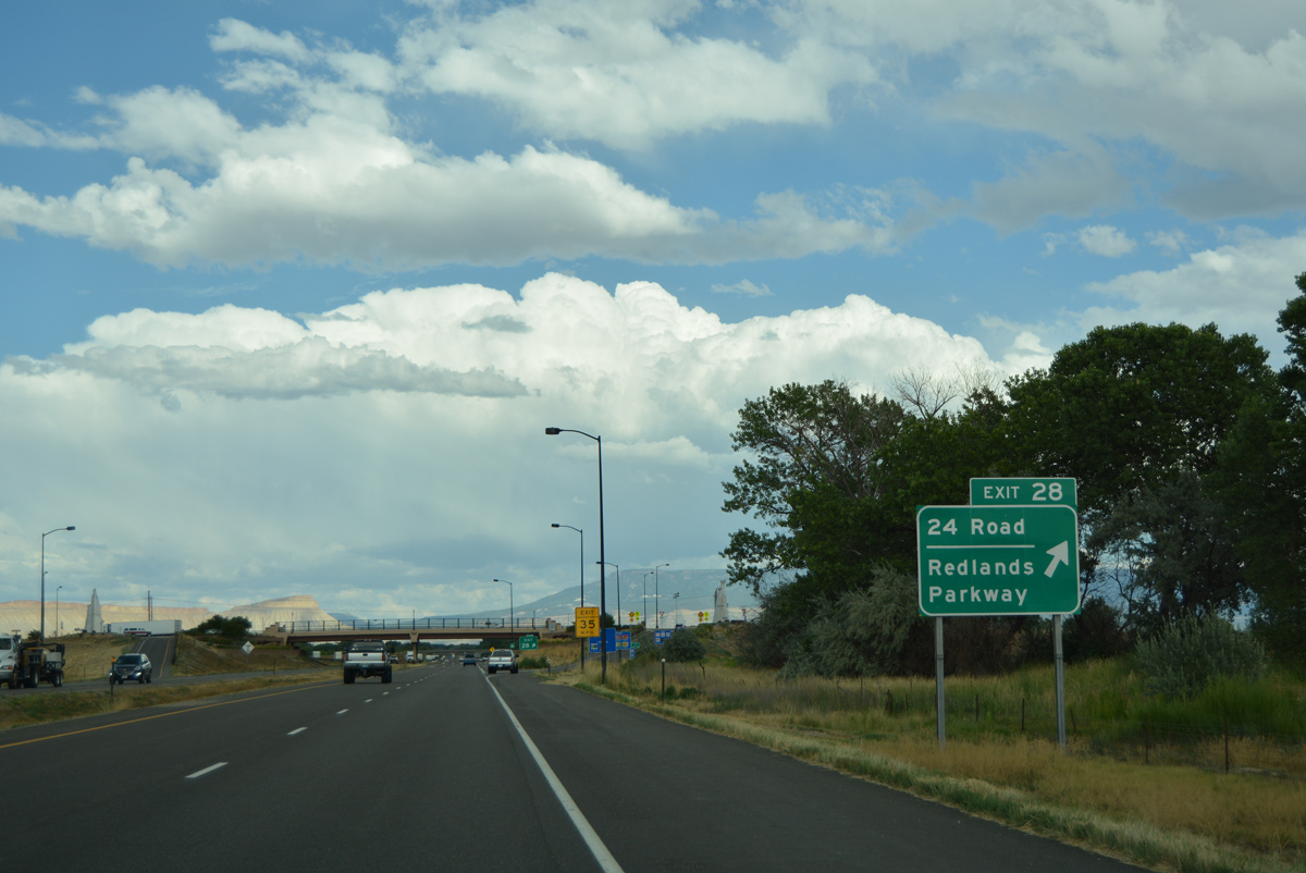
| Road 24 meets I-70 next in one mile at Exit 28. Business Loop I-70 loops back to I-70 in 11 miles. 08/10/16 |
|
| A dumbbell interchange (Exit 28) joins Interstate 70 with 24 Road north to Appleton and south to Mesa Mall, U.S. 6-50 and Redlands Parkway west to Redlands. 08/10/16 |
|
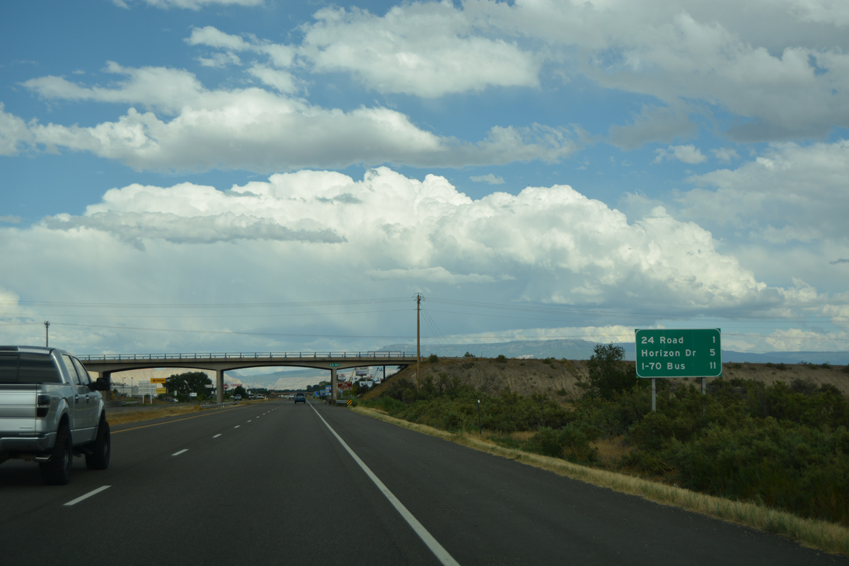
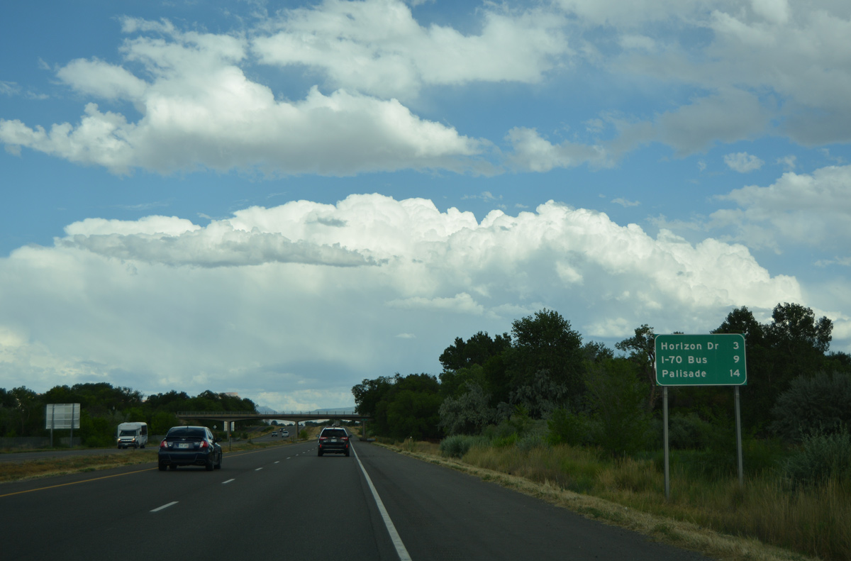
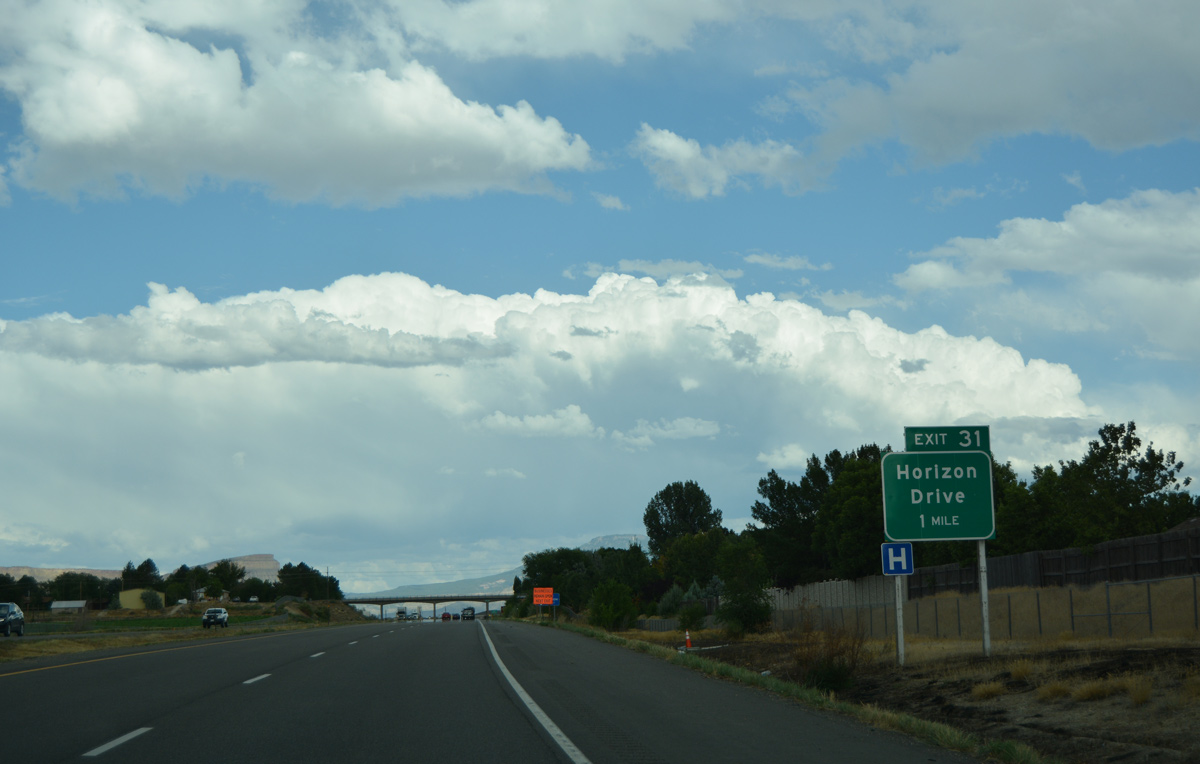
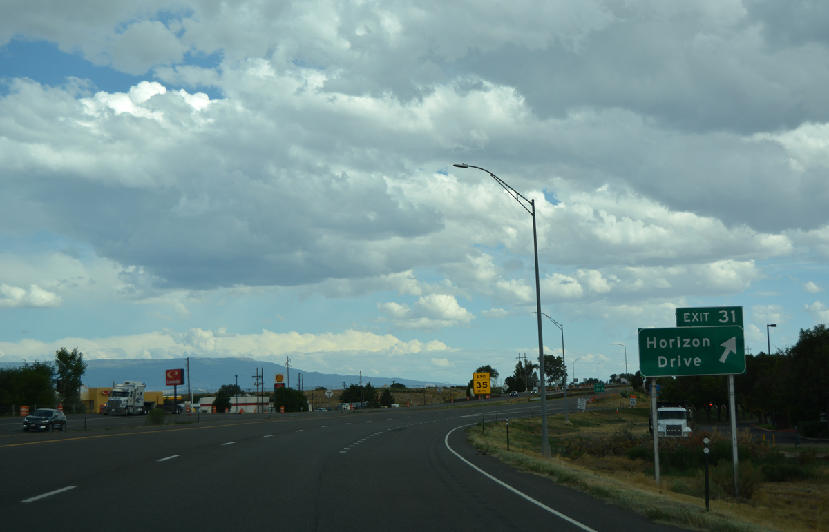
| Continuing east, Interstate 70 passes through suburban areas of north Grand Junction to Horizon Drive (Exit 31). U.S. 6 returns to the freeway at Palisade in 14 miles. 08/10/16 |
|
| Horizon Drive meanders northeast from 26 1/2 Road near St. Marys Hospital as a commercial boulevard to Interstate 70 near Bookcliff Country Club. 08/10/16 |
|
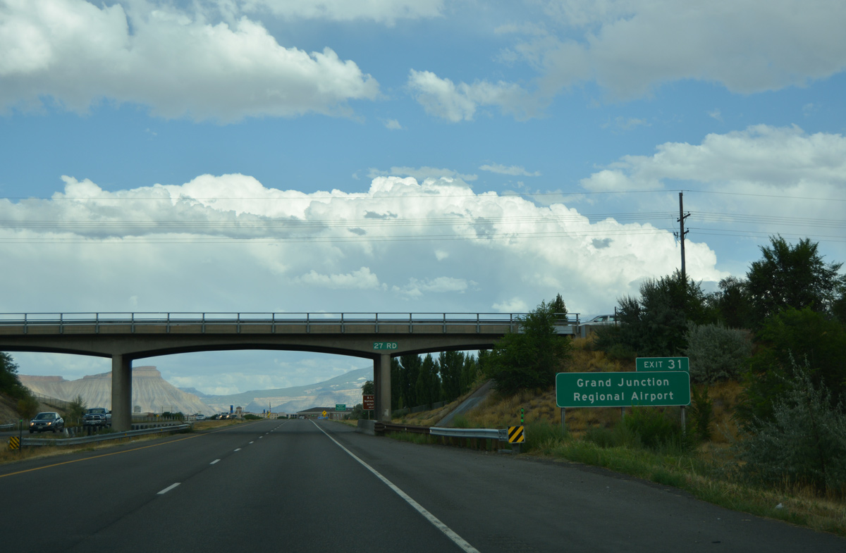
| Grand Junction Regional Airport (GJT) is located northeast of Exit 31 via Horizon Drive. 08/10/16 |
|
| An array of traveler services and lodging line Horizon Drive within the vicinity of Exit 31. A joint $6.6 million, CDOT and City of Grand Junction project converted the diamond interchange with Horizon Drive into a dumbbell interchange in 2016.2 08/10/16 |
|
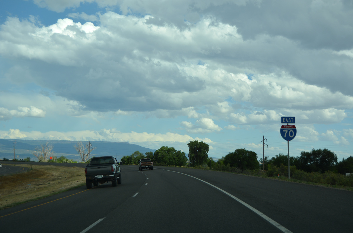
| Interstate 70 shifts south around Grand Junction Regional Airport (JCT) to Indian Wash. 08/10/16 |
|
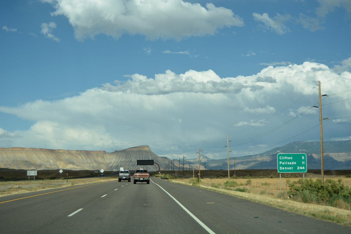
| Progressing five miles east toward Clifton, I-70 runs alongside the Government and Highlane Canal. Denver is 244 miles away. 08/10/16 |
|
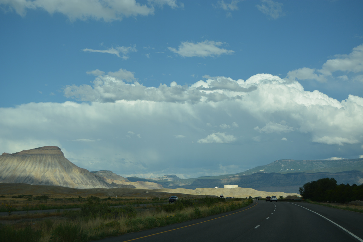
| Mount Garfield (el. 6,637 feet), East Orchard Mesa and Horse Mountain rise along the eastern horizon. 08/10/16 |
|
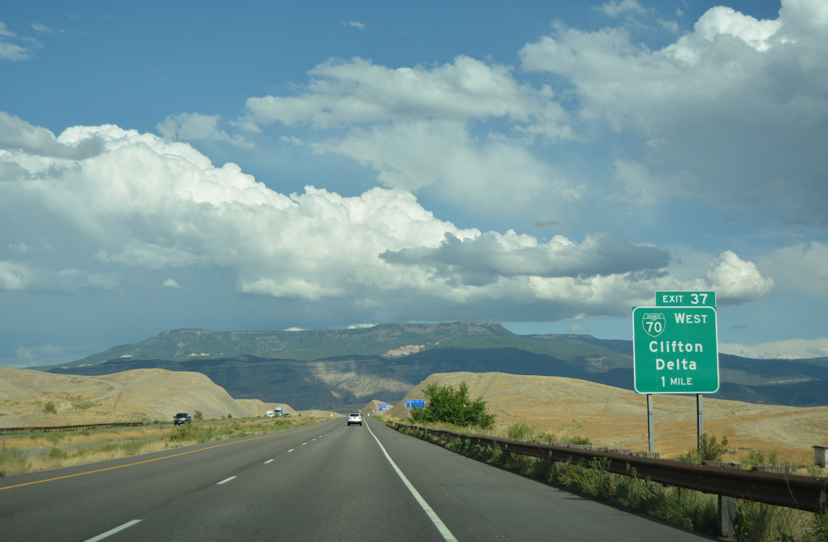
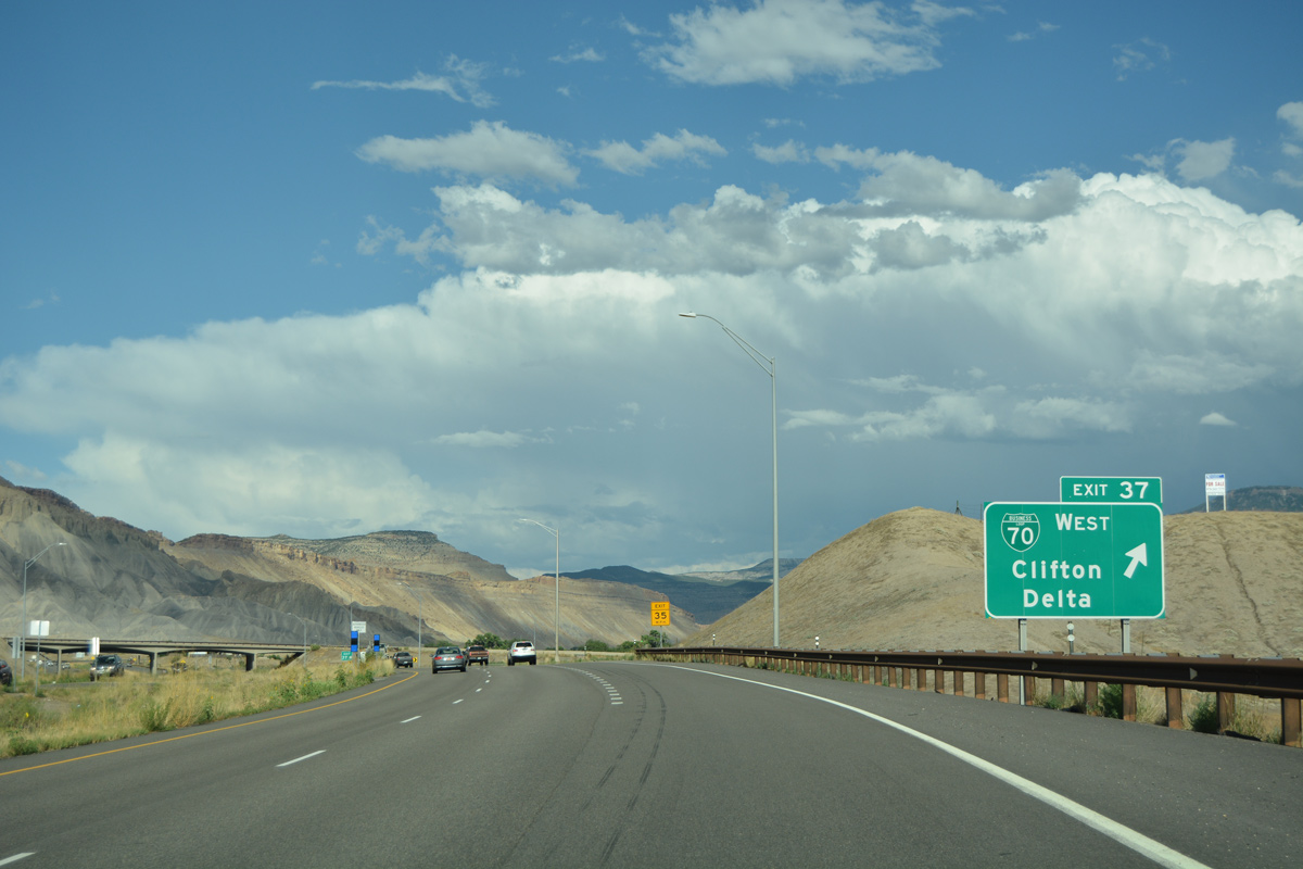
| Business Loop I-70 and Interstate 70 converge at a trumpet interchange (Exit 37) in unincorporated Clifton in one mile. 08/10/16 |
|
| Exit 37 leads motorists southwest to SH 141 and Grand Junction. SH 141 provides a cutoff from Clifton to U.S. 50 east to Delta.
The original design of Exit 37 was a wye interchange with no eastbound access to Business Loop I-70 west. 08/10/16 |
Page Updated 01-29-2022.


 East
East