|
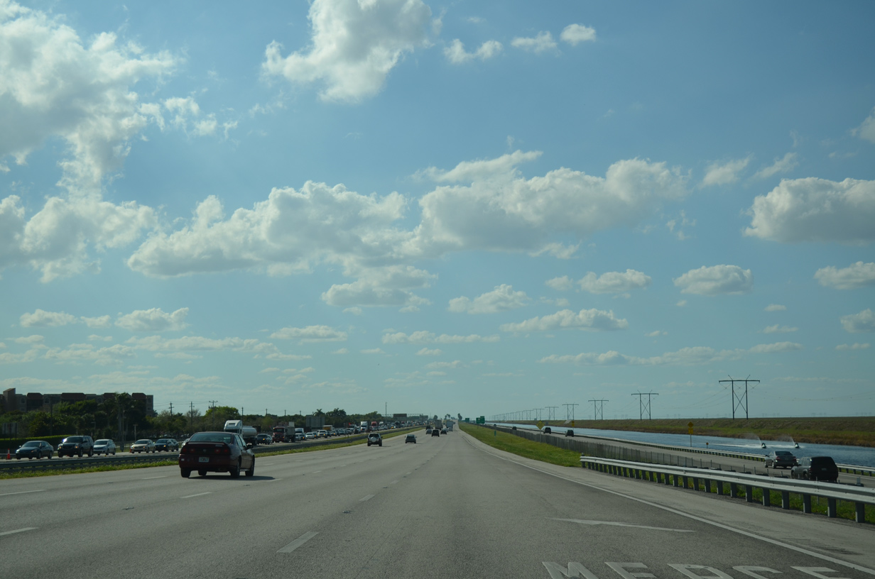
| Leading west from I-595, Interstate 75 parallels North New River Canal with six overall lanes. 03/04/14 |
|
| SR 84, the frontage road system of Interstate 595, accompanies I-75 west along the Weston city line and North New River Canal to U.S. 27. 03/21/20 |
|
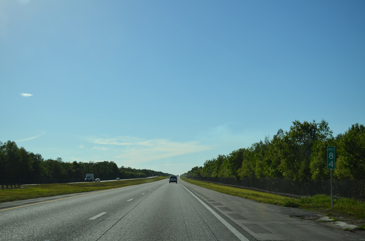
| Lands north of Interstate 75 and SR 84 fall within Everglades Wildlife Management Area. 04/23/16 |
|
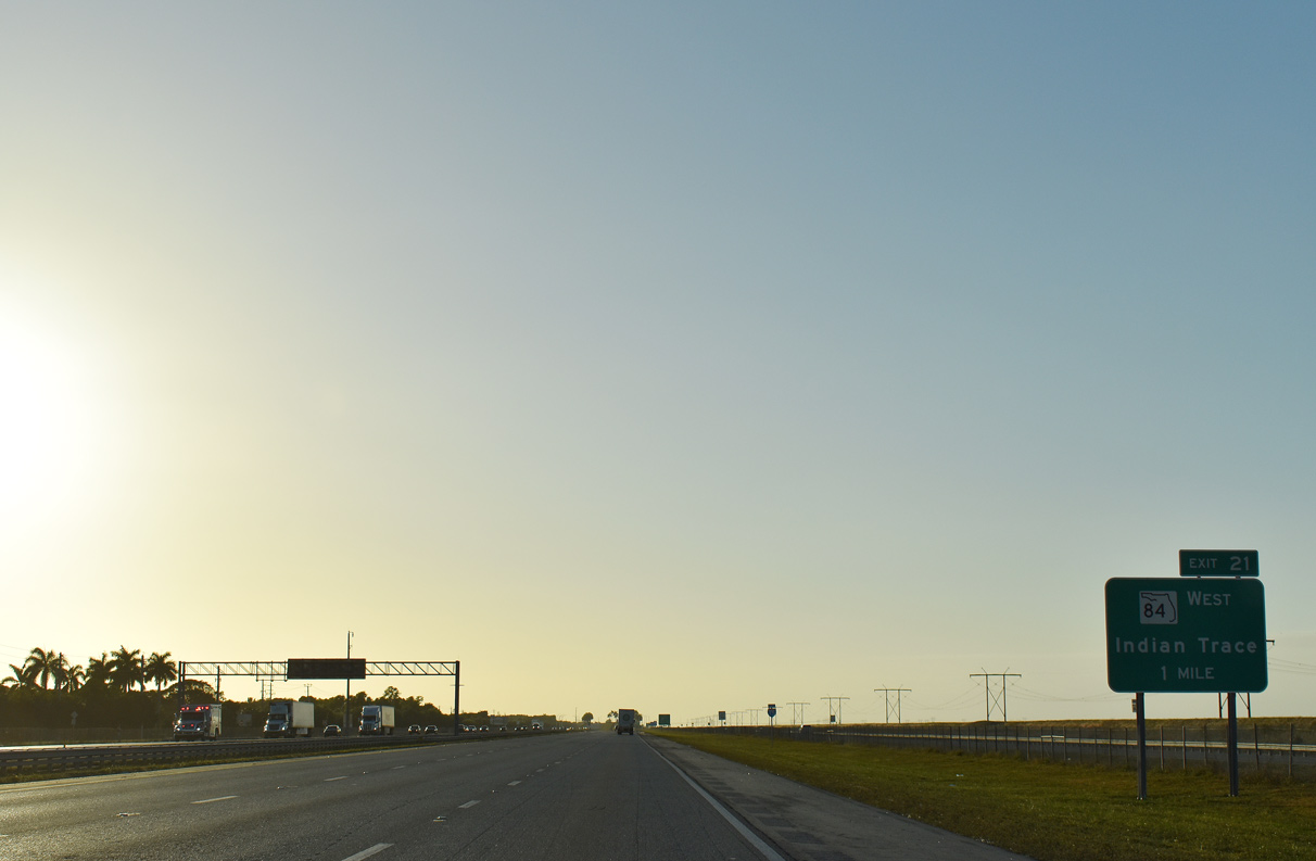
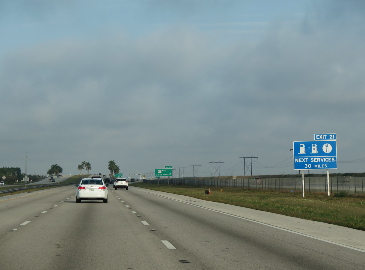
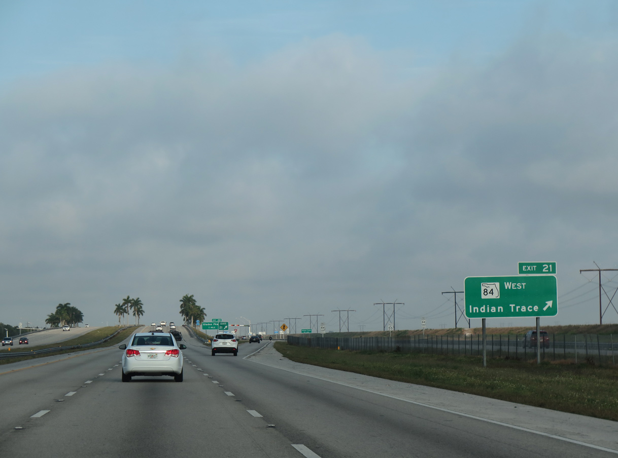
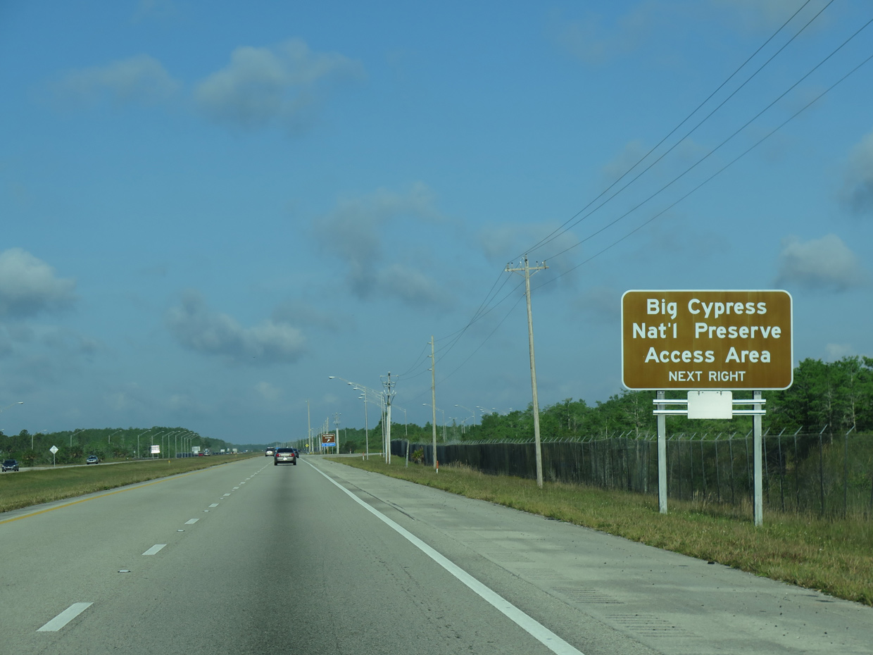
| Upcoming Exit 21 onto SR 84 west is the first of two Weston interchanges preceding Alligator Alley. SR 84 connects the freeway with Indian Trace, a residential arterial leading southeast to SW 14th Street in Sunrise. 03/21/20 |
|
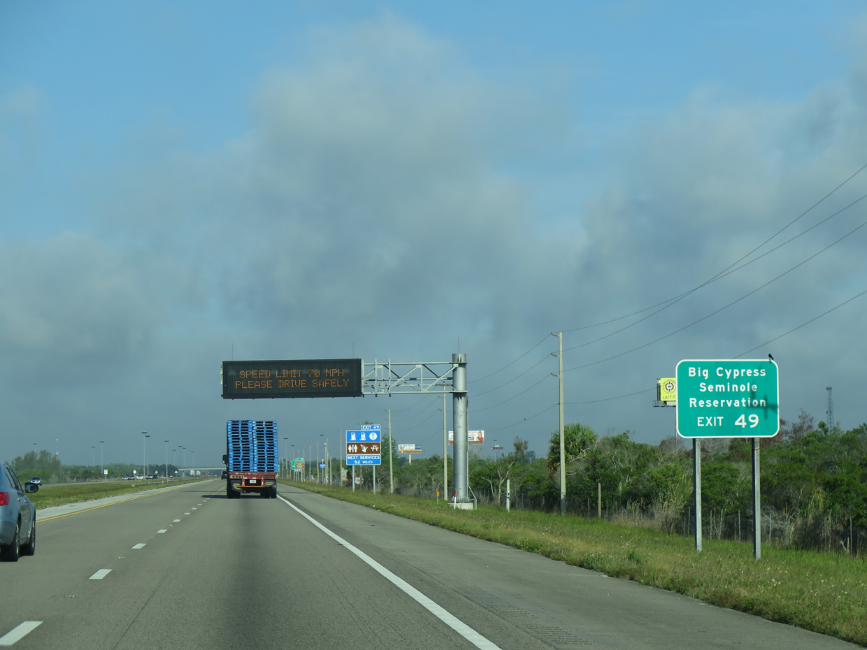
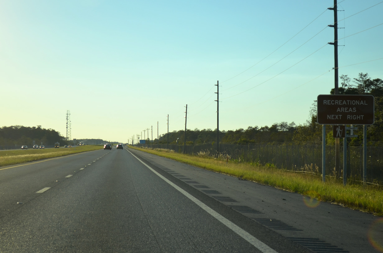
| Motorists are alerted to the lack of travel services between Exit 21 and Miccosukee Indian Reservation (Exit 49). 04/23/16 |
|
| Entering the half diamond interchange (Exit 21) with SR 84 west ahead of Indian Trace. 04/23/16 |
|
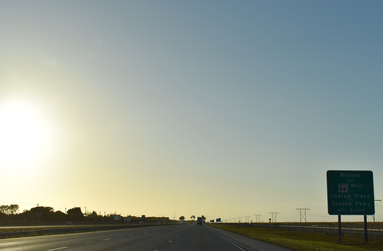
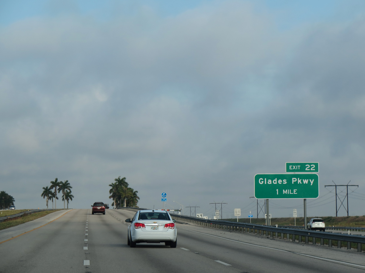
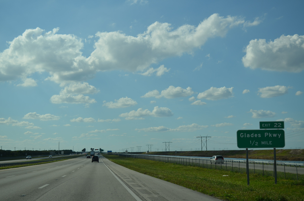
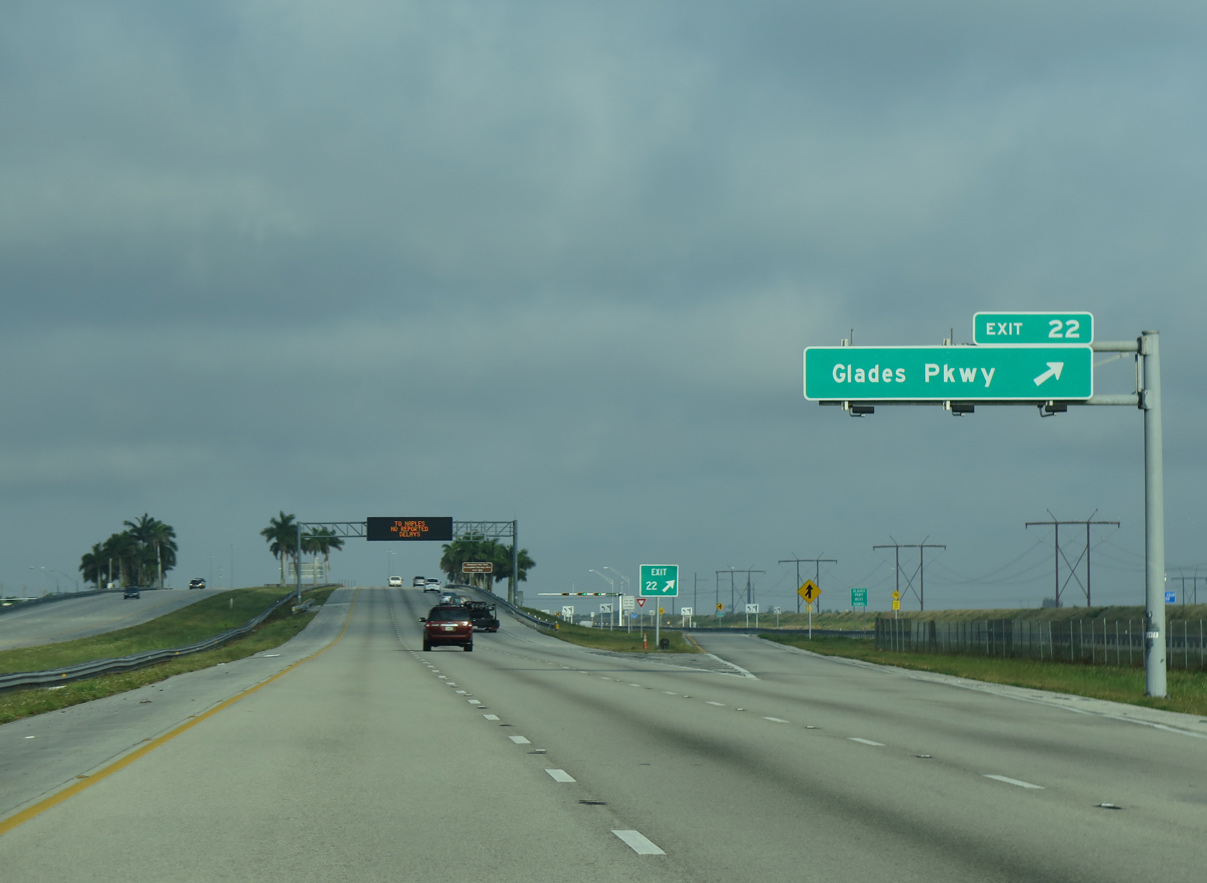
| A diamond interchange (Exit 22) follows in one mile with SR 84 at Glades Parkway south. 04/23/16 |
|
| Glades Parkway was previously named Arvida Parkway, and is the same roadway beginning at Exit 15 to the southeast. 03/04/14 |
|
| Exit 22 leaves I-75 north for adjacent SR 84 west. State Road 84 merges onto the freeway and ends ahead. Historically SR 84 was the designation for Alligator Alley across the Everglades. Replaced by Interstate 75, a short section of SR 84 remains signed in Naples. 04/23/16 |
|
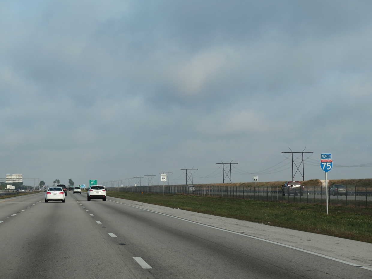
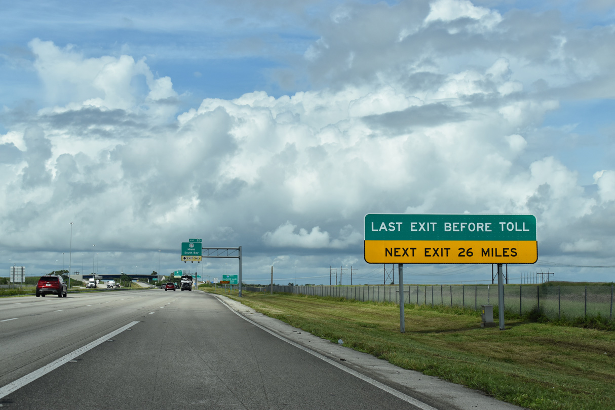
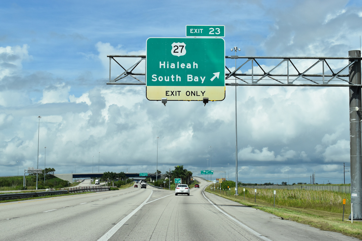
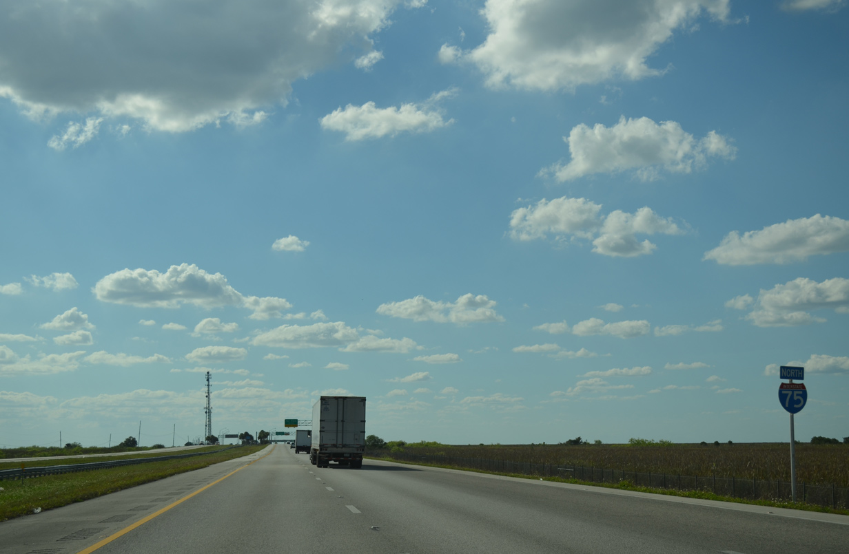
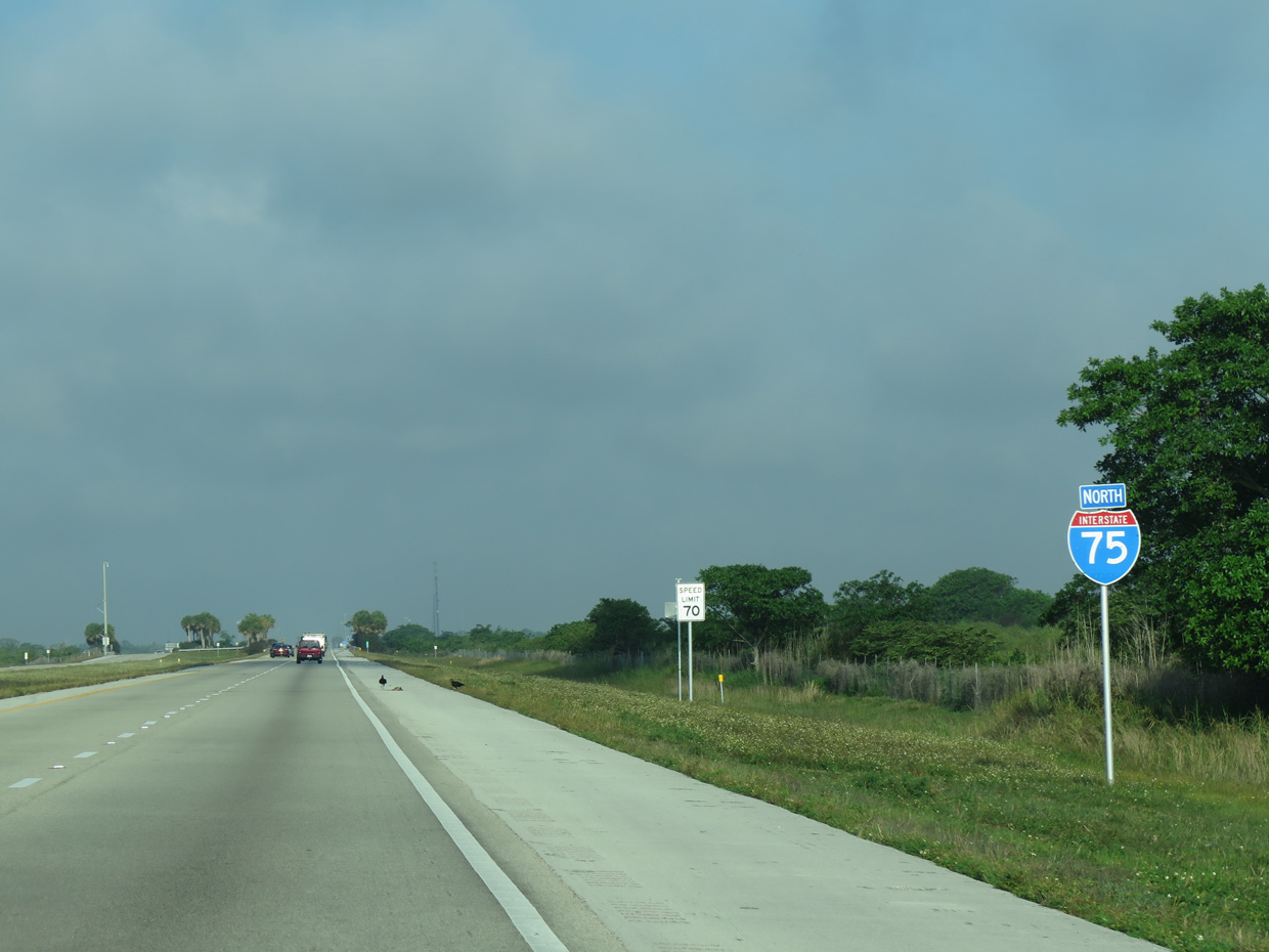
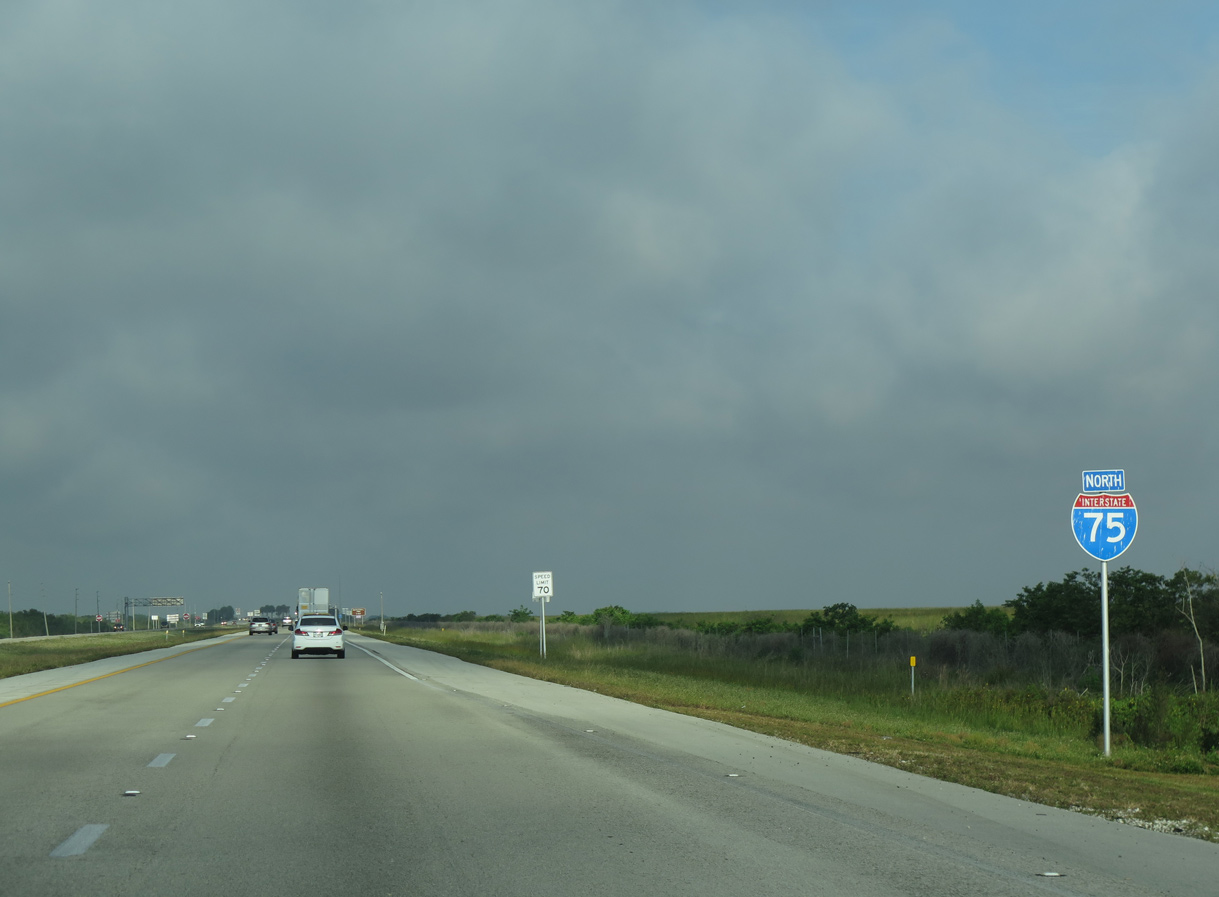
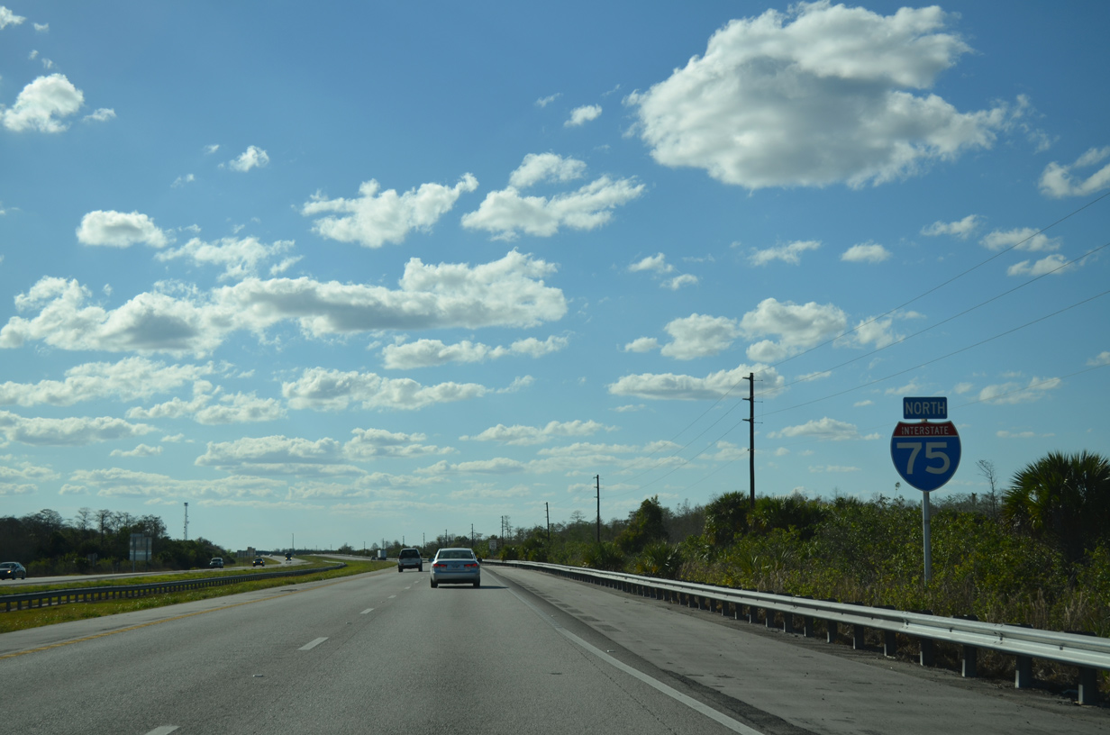
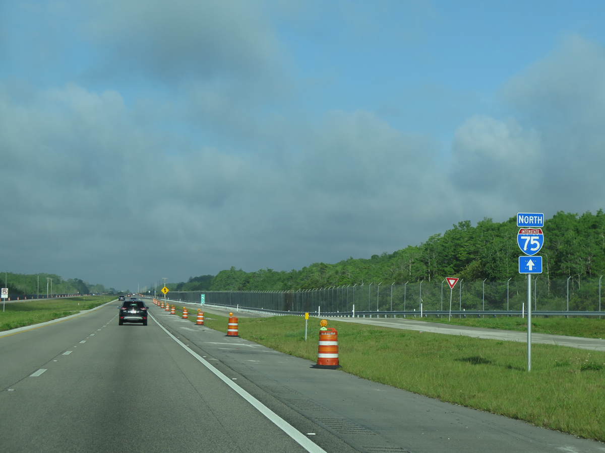
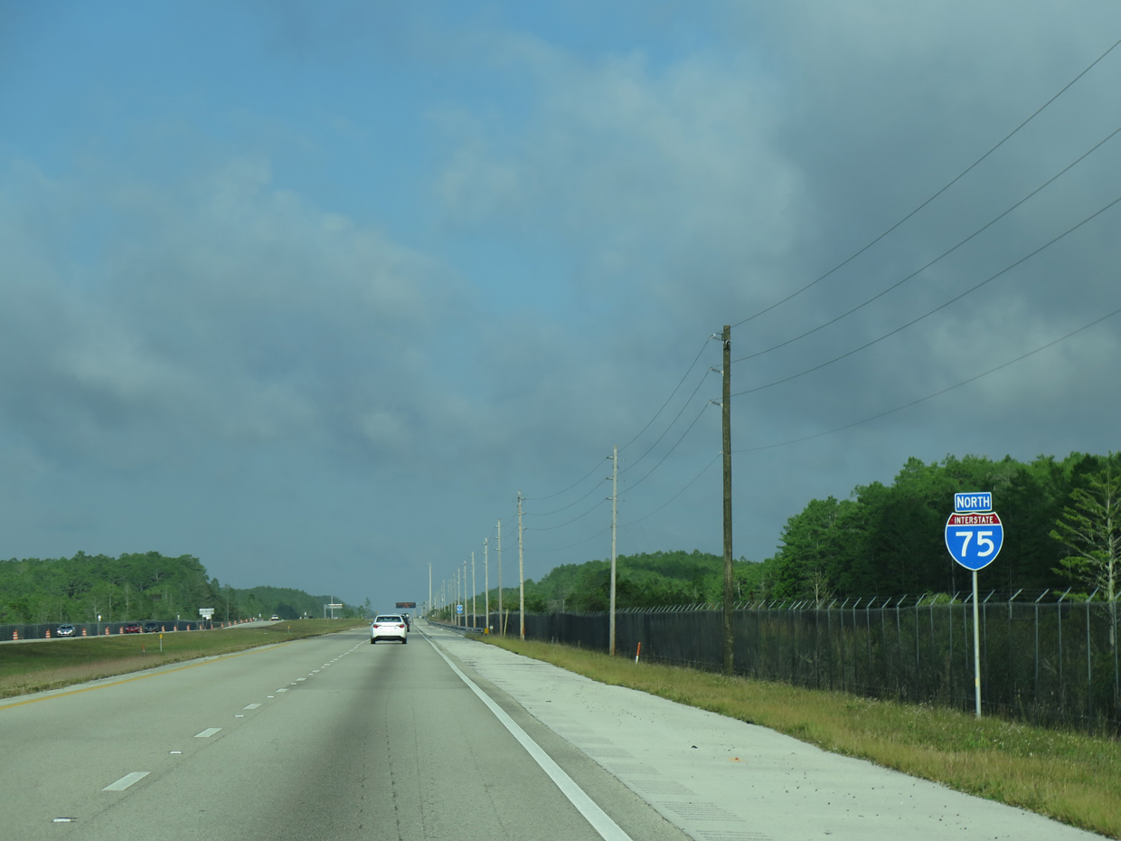
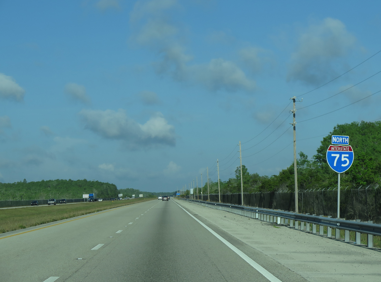
| U.S. 27 converges with Interstate 75 at the northwest corner of Weston. The exchange is the final departure point from I-75 north before a 26 mile exit less stretch along the Alligator Alley toll road. 11/16/20 |
|
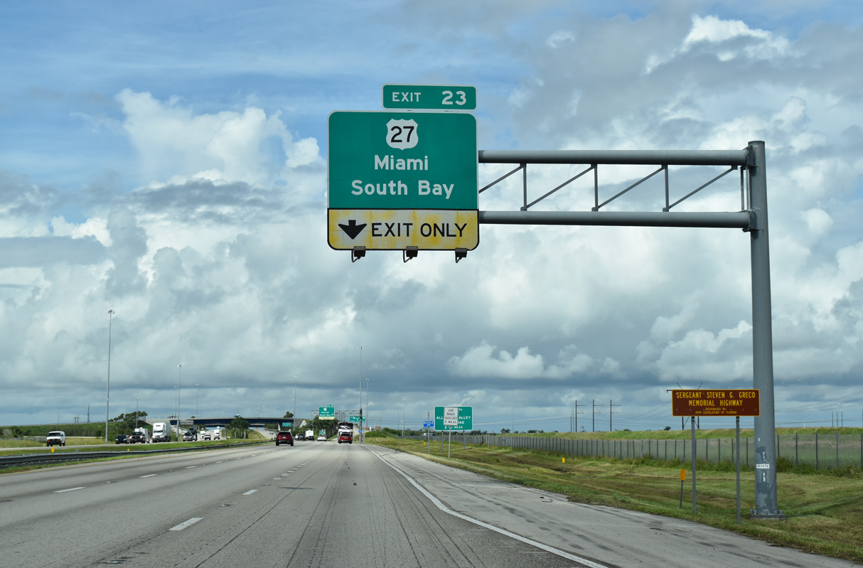
| The third northbound lane along I-75 drops at Exit 23 to U.S. 27. U.S. 27 lines western reaches of the Miami metropolitan area southward to Miramar, where the route turns eastward through Hialeah and Miami. 10/16/20 |
|
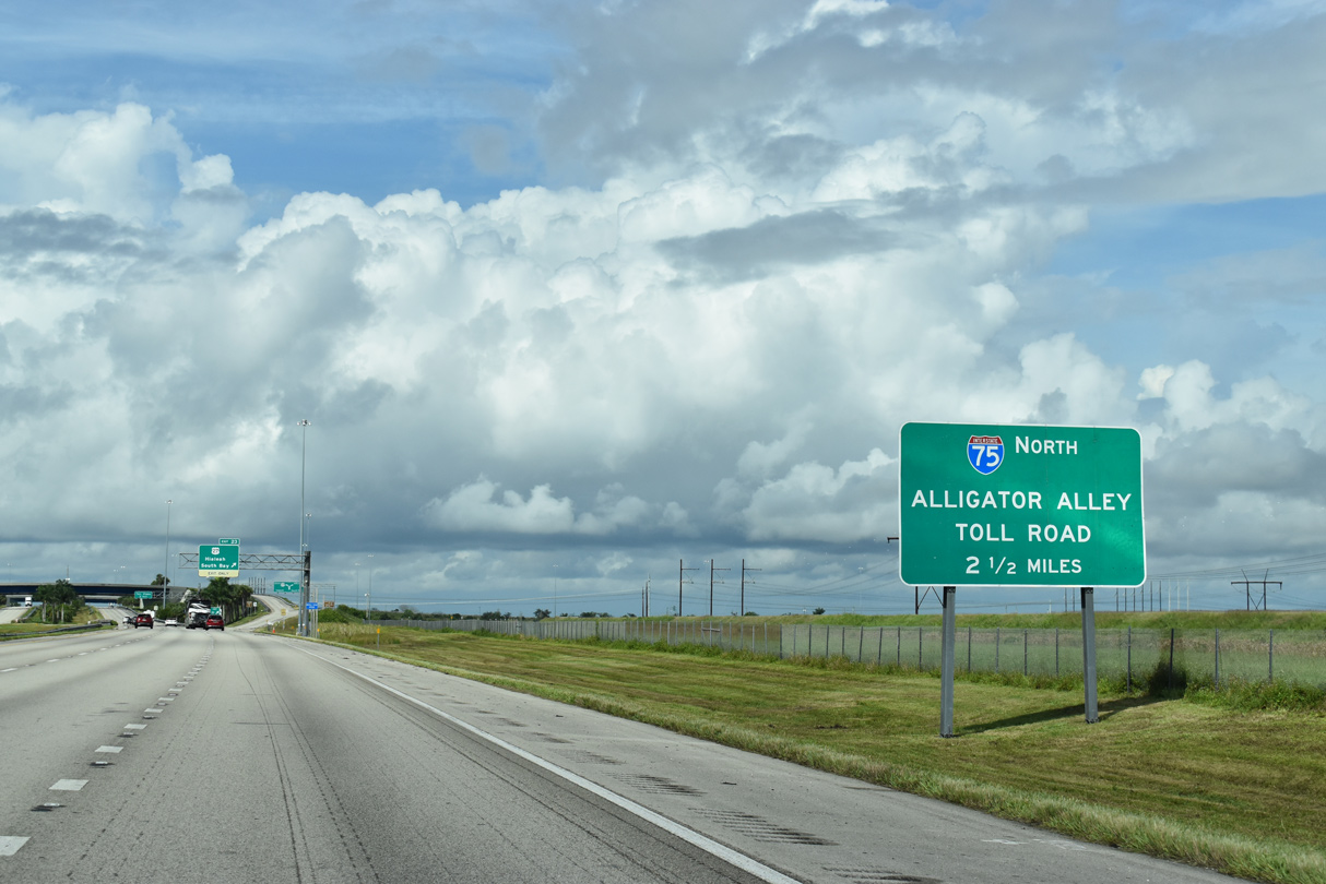
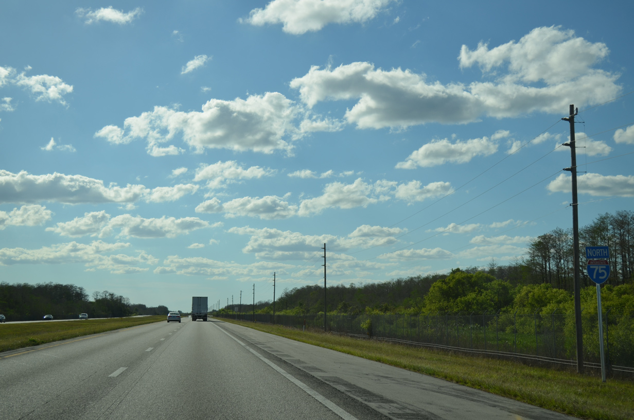
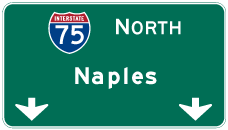
| Sometimes referred to simply as "The Alley," Alligator Alley is the popular name for Everglades Parkway, the formal name of the toll road leading Interstate 75 west to Naples. 10/16/20 |
|
| All traffic bound for U.S. 27 departs in unison at Exit 23. U.S. 27 north traverses the expansive Everglades Wildlife Management Area to agricultural areas ahead of South Bay and Lake Okeechobee. 10/16/20 |
|
| A left side entrance ramp joins U.S. 27 north with Interstate 75 northbound two miles ahead of the Alligator Alley toll plaza. 04/23/16 |
|
| U.S. 27 travels nearly 500 miles in Florida, heading north through the middle of the Florida peninsula to Ocala, where it crosses paths with Interstate 75 again. The U.S. 27 and I-75 corridors intermingle several times to Cincinnati, Ohio. 10/06/20 |
|
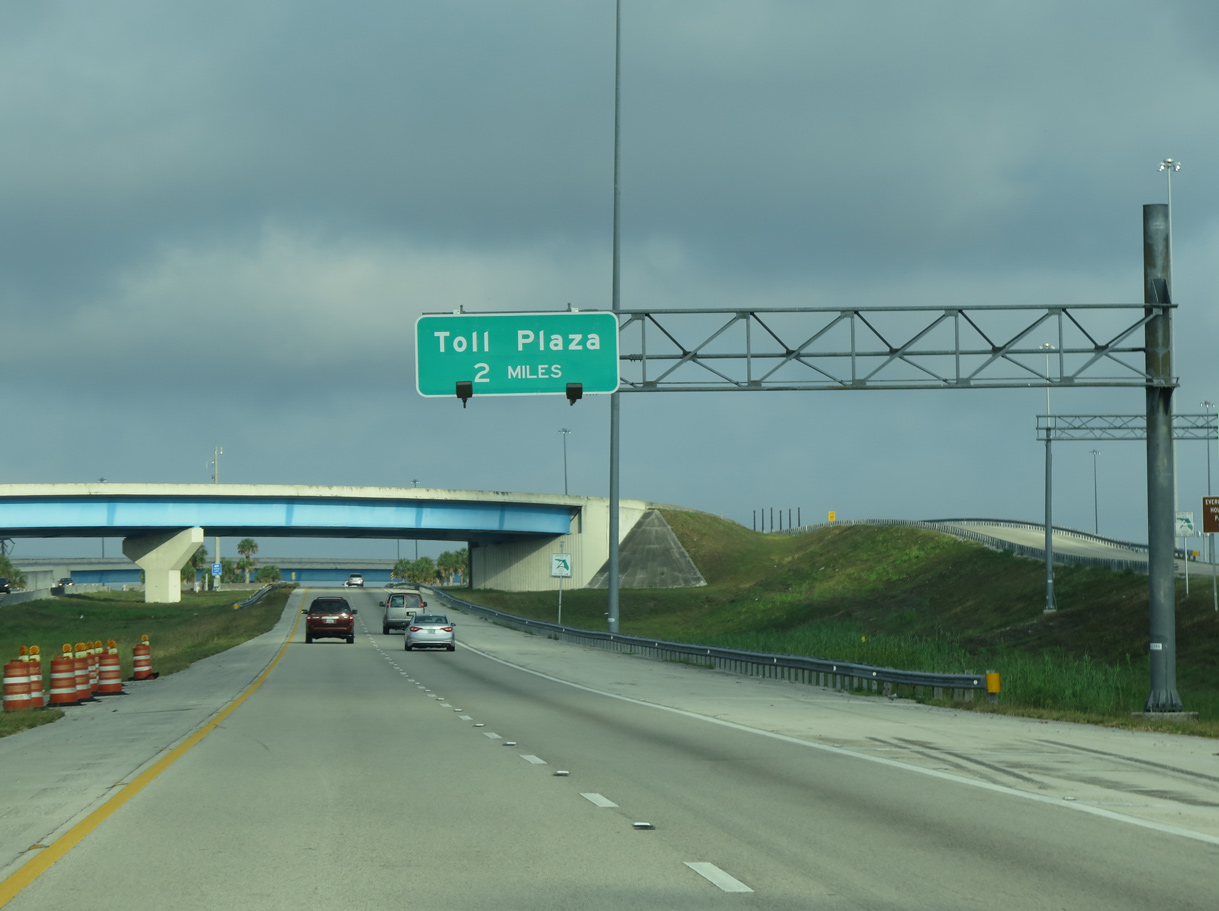
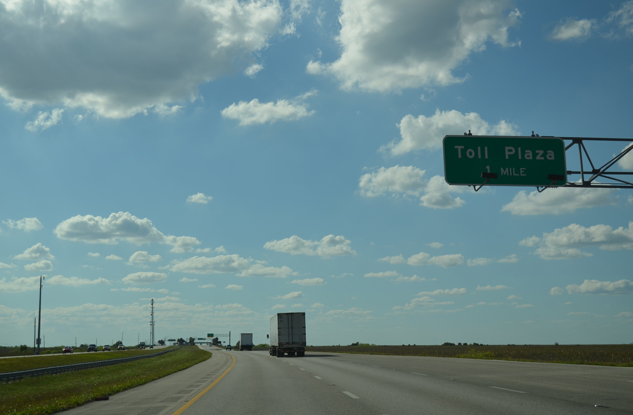
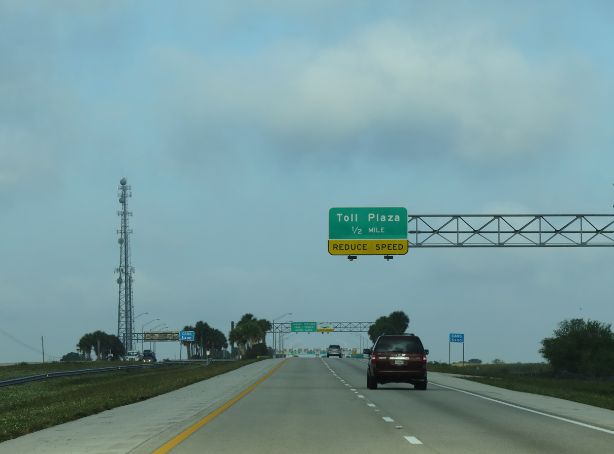
| Turning fully westward across Everglades Wildlife Management Area, Interstate 75 approaches the Alligator Alley toll plaza. 03/04/14 |
|
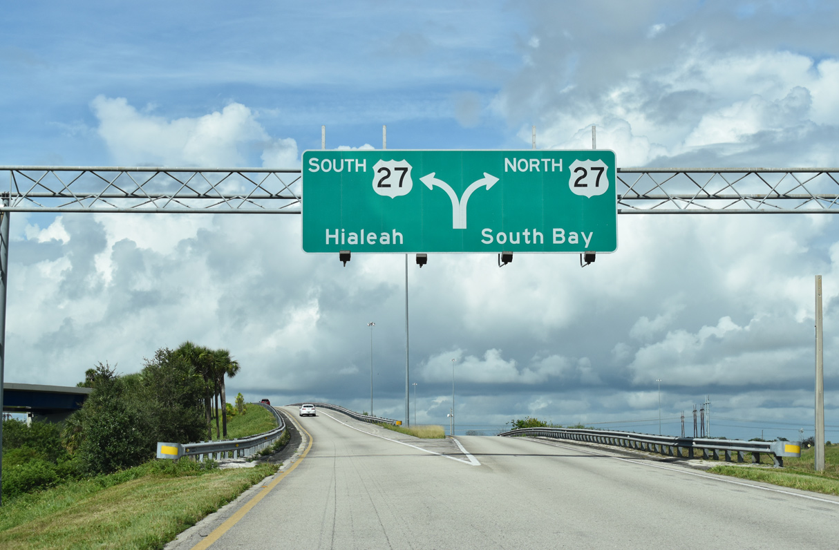
| The on-ramps from U.S. 27 at Andytown tie into I-75 north ahead of this shield assembly. 03/04/14 |
|
| Interstate 75 crosses the first in a series of canals running across the Everglades, one half mile ahead of the toll barrier. 04/23/16 |
|
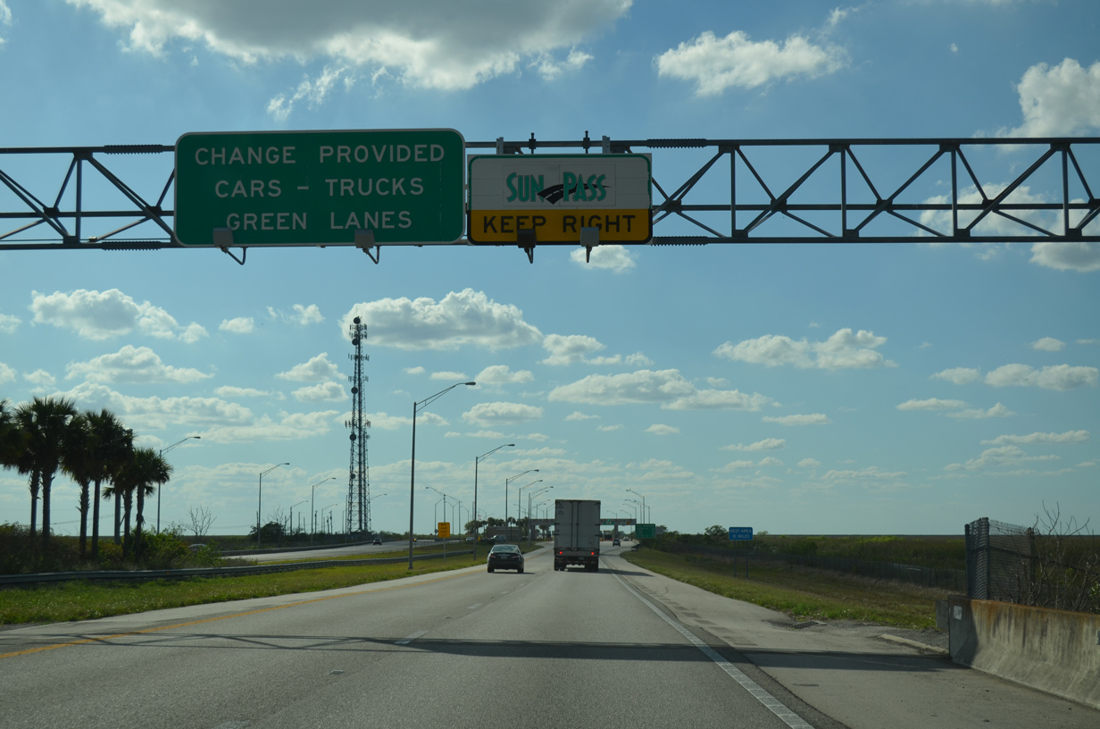
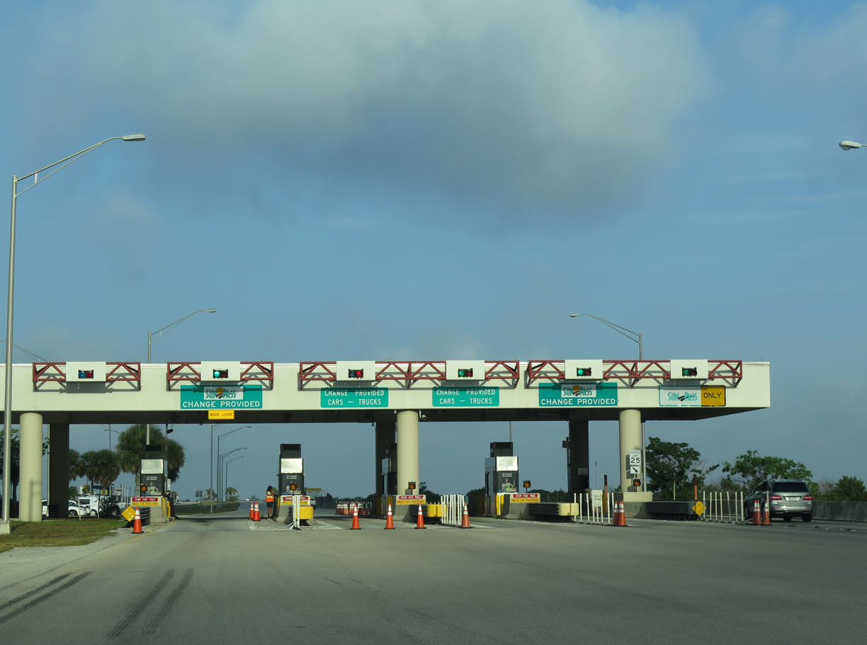
| Alligator Alley toll plazas remain with attended toll booths. The outside booth was converted for Sunpass operations, but motorists must still slow to 25 miles per hour. 03/04/14 |
|
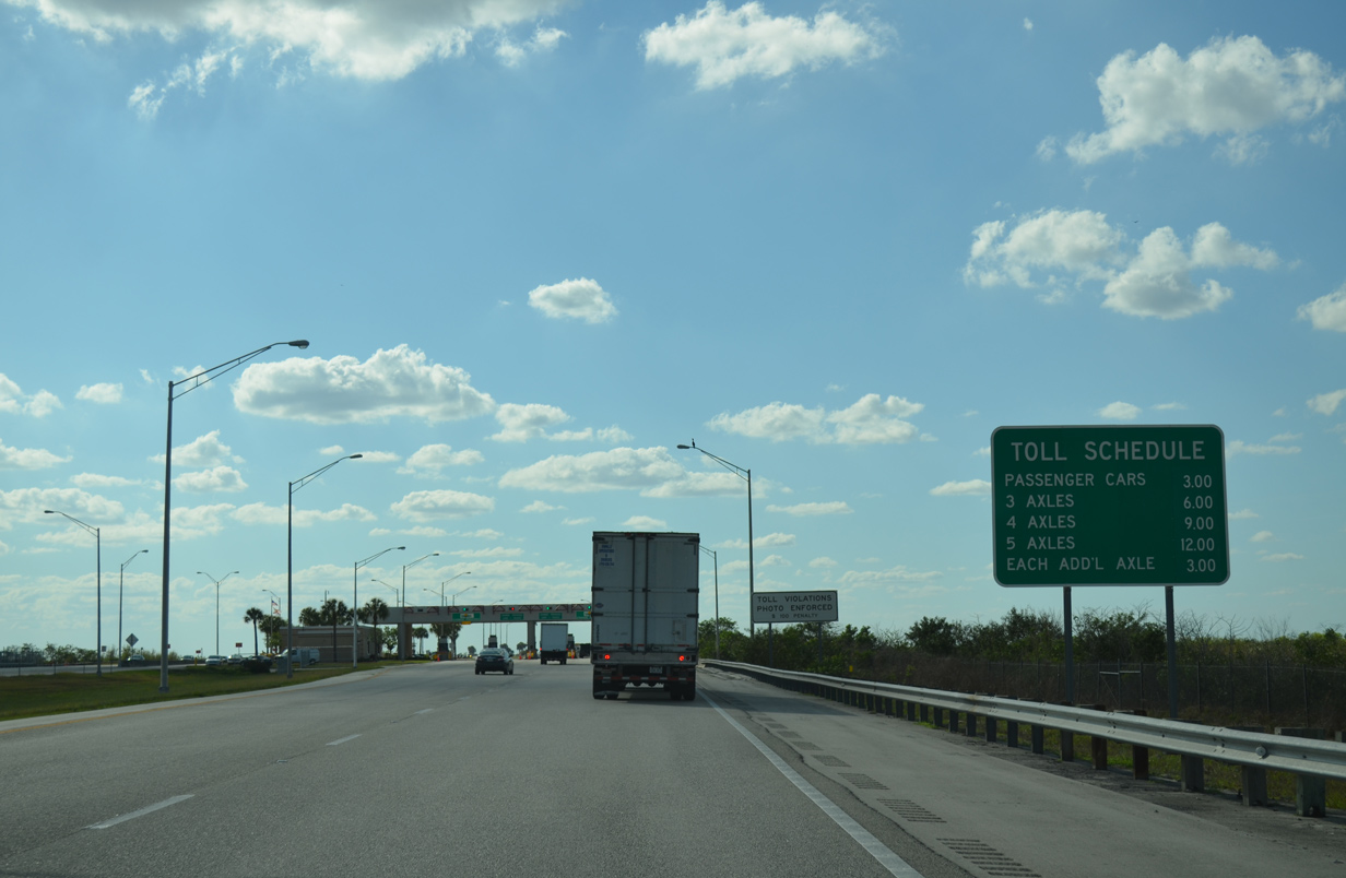
| Toll schedule sign posted as the onset of the toll plaza. 03/04/14 |
|
| The toll plaza collects fares in the westbound direction with just five lanes wide. A similar plaza lies at the eastbound beginning to the Alley. 04/23/16 |
|
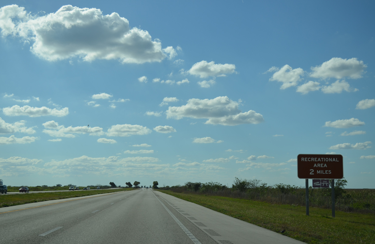
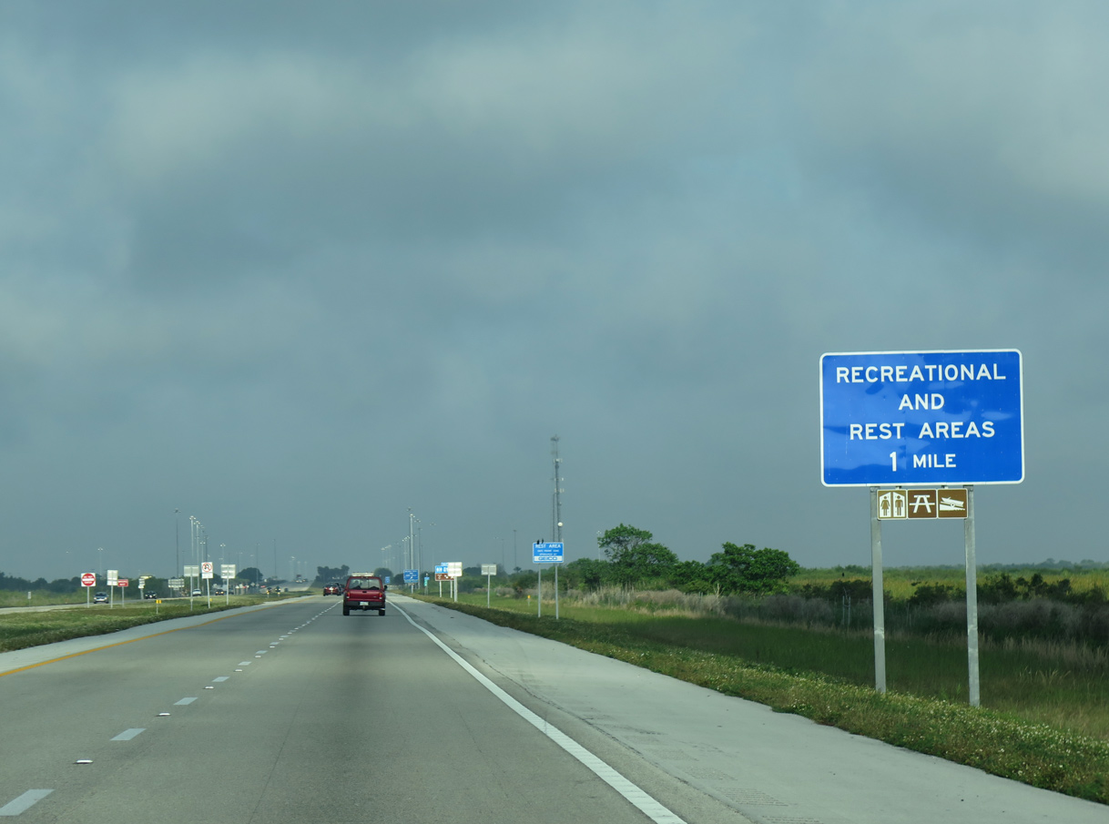
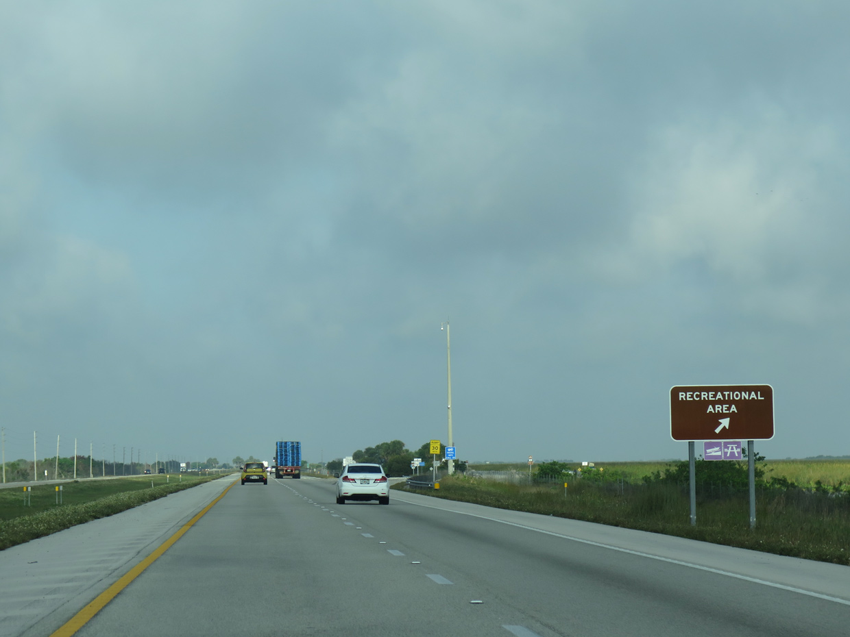
| The first of two Everglades Wildlife Management Area recreation areas along Interstate 75 north across Alligator Alley lies two miles ahead. 03/04/14 |
|
| The forthcoming facility includes picnic pavilions and a boat ramp onto the adjacent canal. A similar area lies to the south of I-75 along southbound. 04/23/16 |
|
| Northbound Interstate 75 at the first recreation area. Canals lining both sides of the freeway are linked periodically with cuts under the freeway. 03/04/14 |
|
| Leaving the recreation area near milepost 31 on Interstate 75 north. 04/23/16 |
|
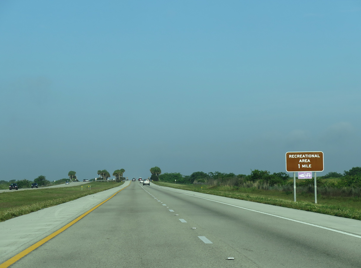
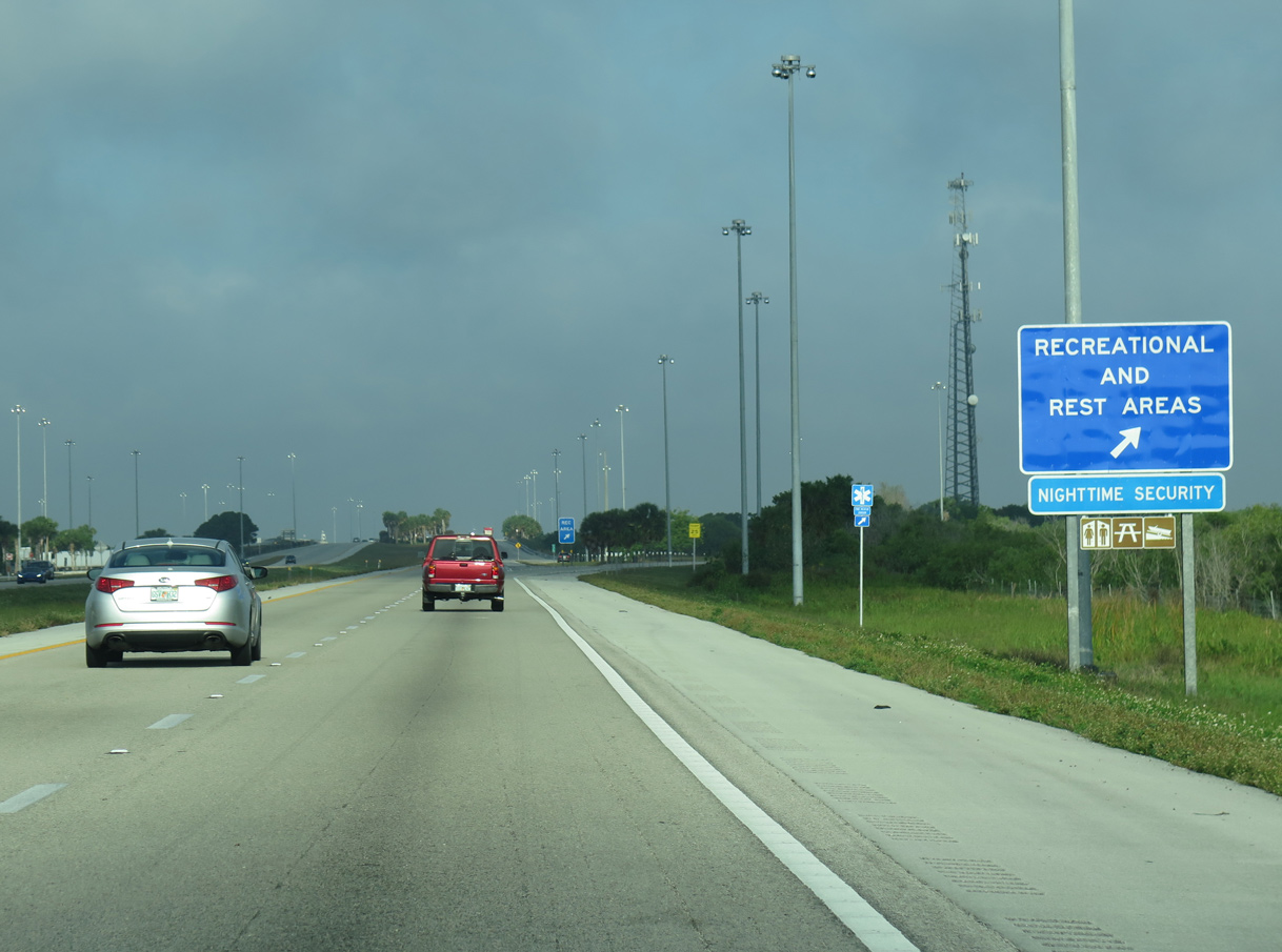
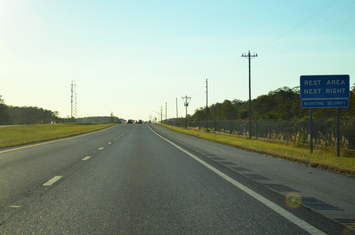
| The second Everglades Wildlife Management Area recreation stop follows a short distance to the west. A modern rest area lies just south of the freeway, affording motorists tourist information and restrooms. 04/23/16 |
|
| A split parclo interchange links access roads on either side of a northwest to southeast canal. Four sets of boat ramps are available here. 03/04/14 |
|
| Another I-75 shield stands west of the rest area near milepost 37. 04/23/16 |
|
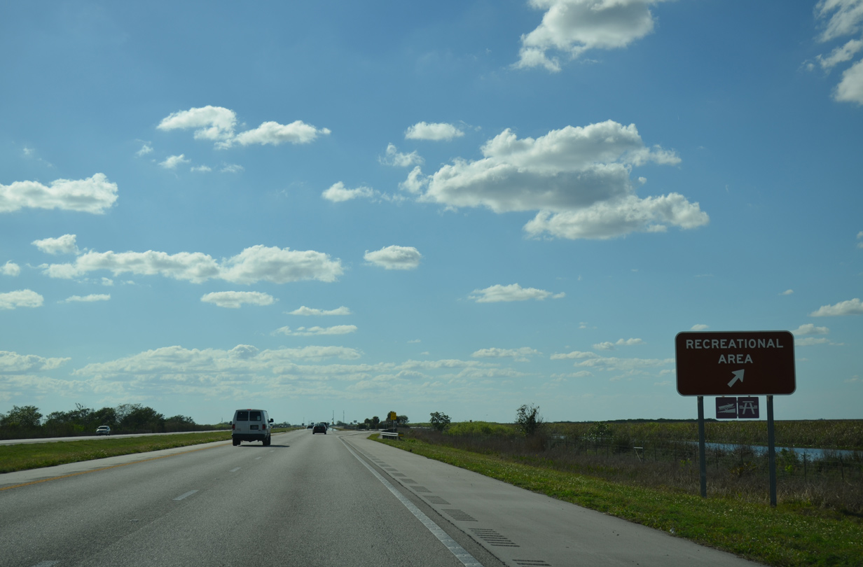
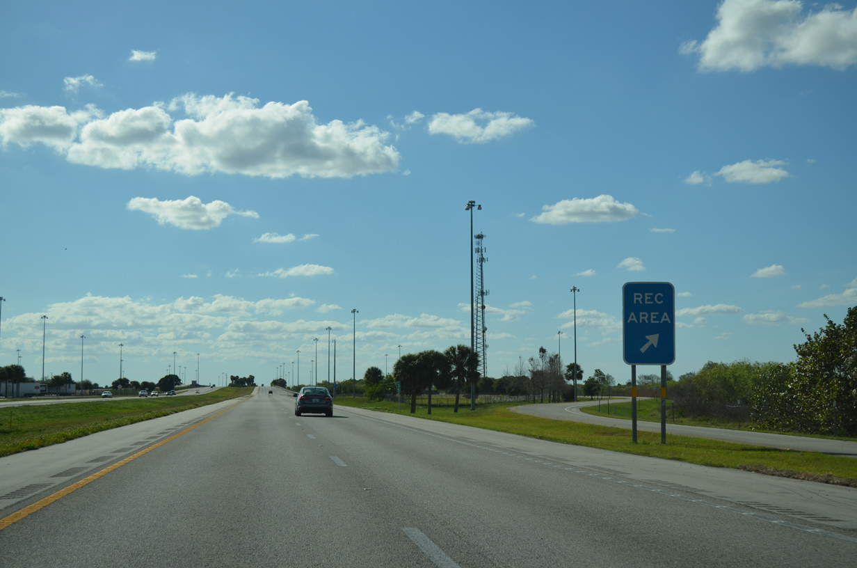
| A third recreation area precedes the northern kink of Interstate 75 into the Miccosukee Indian Reservation. 03/04/14 |
|
| This recreation stop, just east of milepost 39, includes a boat ramp and picnic pavilions as well. 04/23/16 |
|
| With consistency, a reassurance marker follows the last Broward County recreation area. 04/23/16 |
|
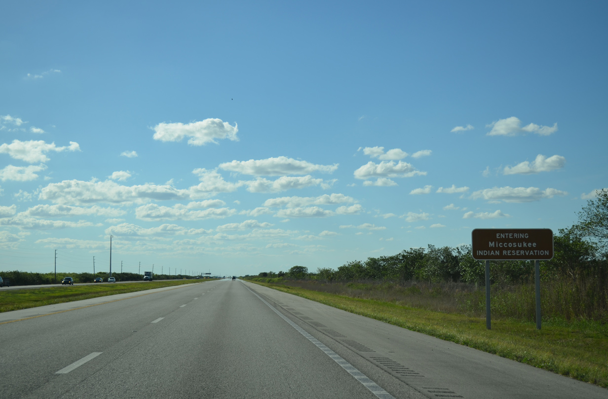
| Interstate 75 crosses a six mile swatch of the Miccosukee Indian Reservation between Everglades WMA and Big Cypress National Preserve. 03/04/14 |
|
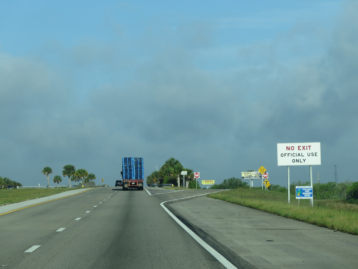
| A split diamond interchange lines a Canal L-28 west of the Reservation boundary. The exit is for a South Florida Water Management District Pump Station and is not open to the public. 04/23/16 |
|
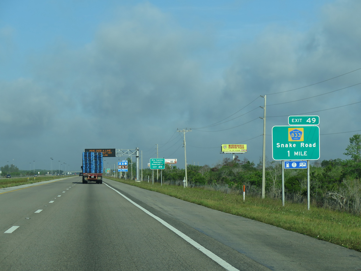
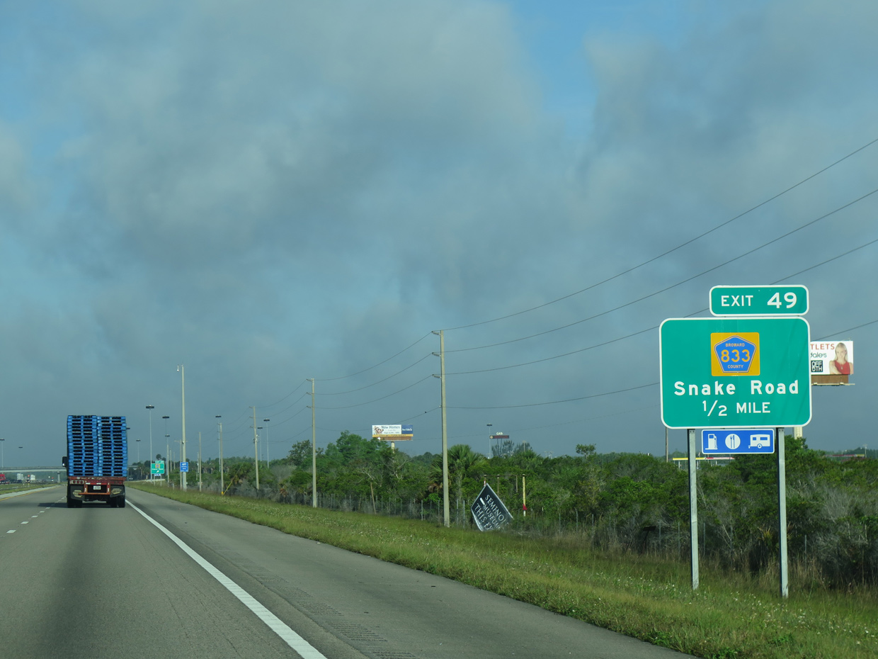
| Snake Road, signed here as Broward County Road 833, runs north from Interstate 75 through Miccosukee Indian Reservation. 04/23/16 |
|
| Snake Road winds northward to Big Cypress Seminole Indian Reservation. The rural road becomes County Road 833 (Josie Billie Highway) west across the Hendry County line. 04/23/16 |
|
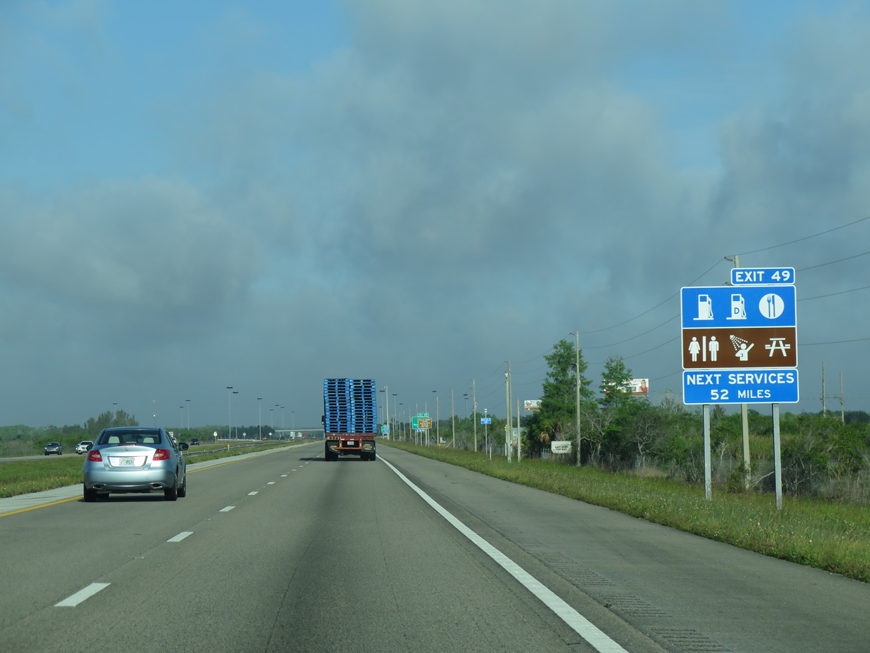
| The forthcoming diamond interchange (Exit 49) provides the only traveler services such as gas and food along The Alley. 04/23/16 |
|
| One half mile ahead of Exit 49 for Snake Road on I-75 north. Points of interest for Exit 49 include the Billie Swamp Safari and the Ah-Tah-Thi-Ki Museum. 04/23/16 |
|
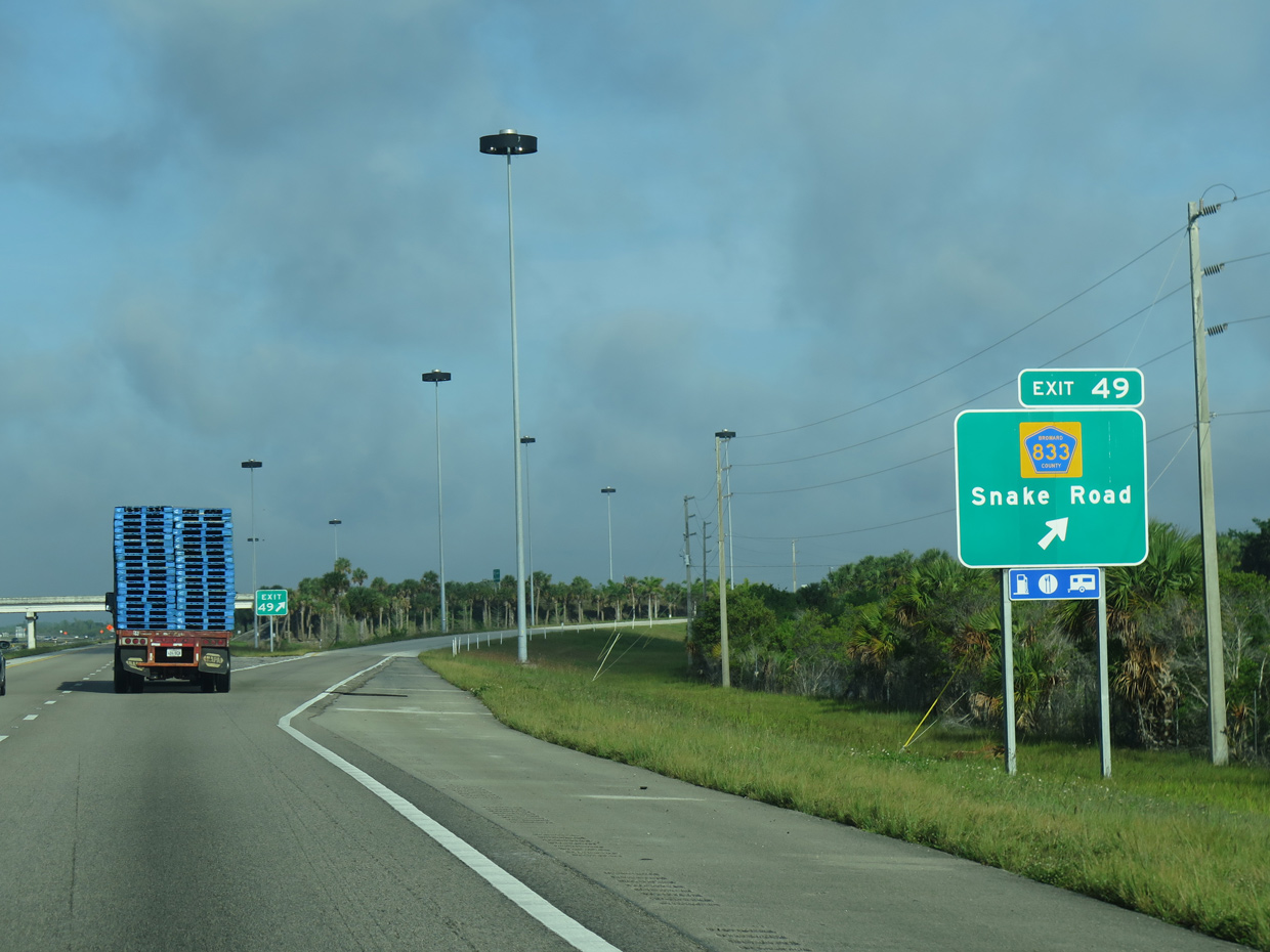
| Interstate 75 northbound reaches Exit 49 to Snake Road. County Road 833 (Josie Billie Highway) ventures northwest through Big Cypress Seminole Reservation to County Road 846, which leads west to Immokalee. 04/23/16 |
|
| Interstate 75 curves more westerly again beyond Snake Road for the trek across Big Cypress National Preserve. 03/04/14 |
|
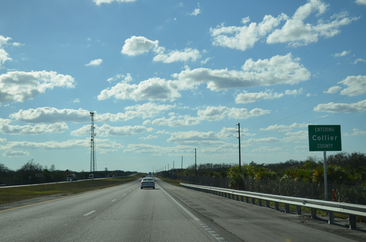
| The 45.36 mile stretch of Interstate 75 north through Broward County concludes as motorists enter Collier County. 03/04/14 |
|
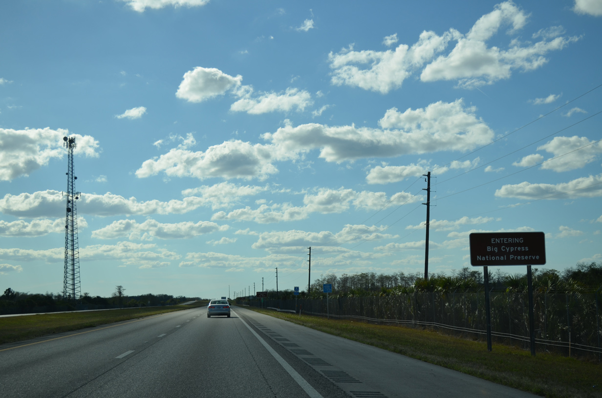
| Upon entering Collier County, Interstate 75 also enters the Big Cypress National Preserve. Established in October 1974, the Big Cypress National Preserve covers approximately 720,000 acres. Interstate 75 is rare in the fact that it is part of an select group of Interstate highways to traverse through National Park/Monument lands. Others include I-94 (Theodore Roosevelt National Park in western North Dakota) and I-15 (Mojave National Preserve in California). 03/04/14 |
|
| Interstate 75 north quickly approaches the first of two recreation areas within Big Cypress National Preserve at mile marker 51. 03/04/14 |
|
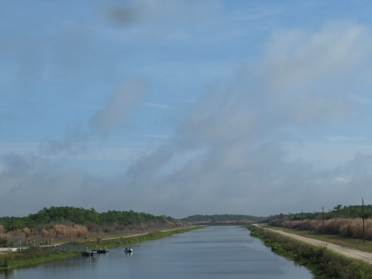
| The recreation area at Interceptor Canal opened for use in June 2013. The facility includes a boat ramp and parking for six vehicles with trailers. 03/04/14 |
|
| The freeway crosses Interceptor Canal at the recreation area off-ramp. 04/23/16 |
|
| I-75 passes north of Doctors Prairie over the next few miles. 04/23/16, 03/04/14 |
|
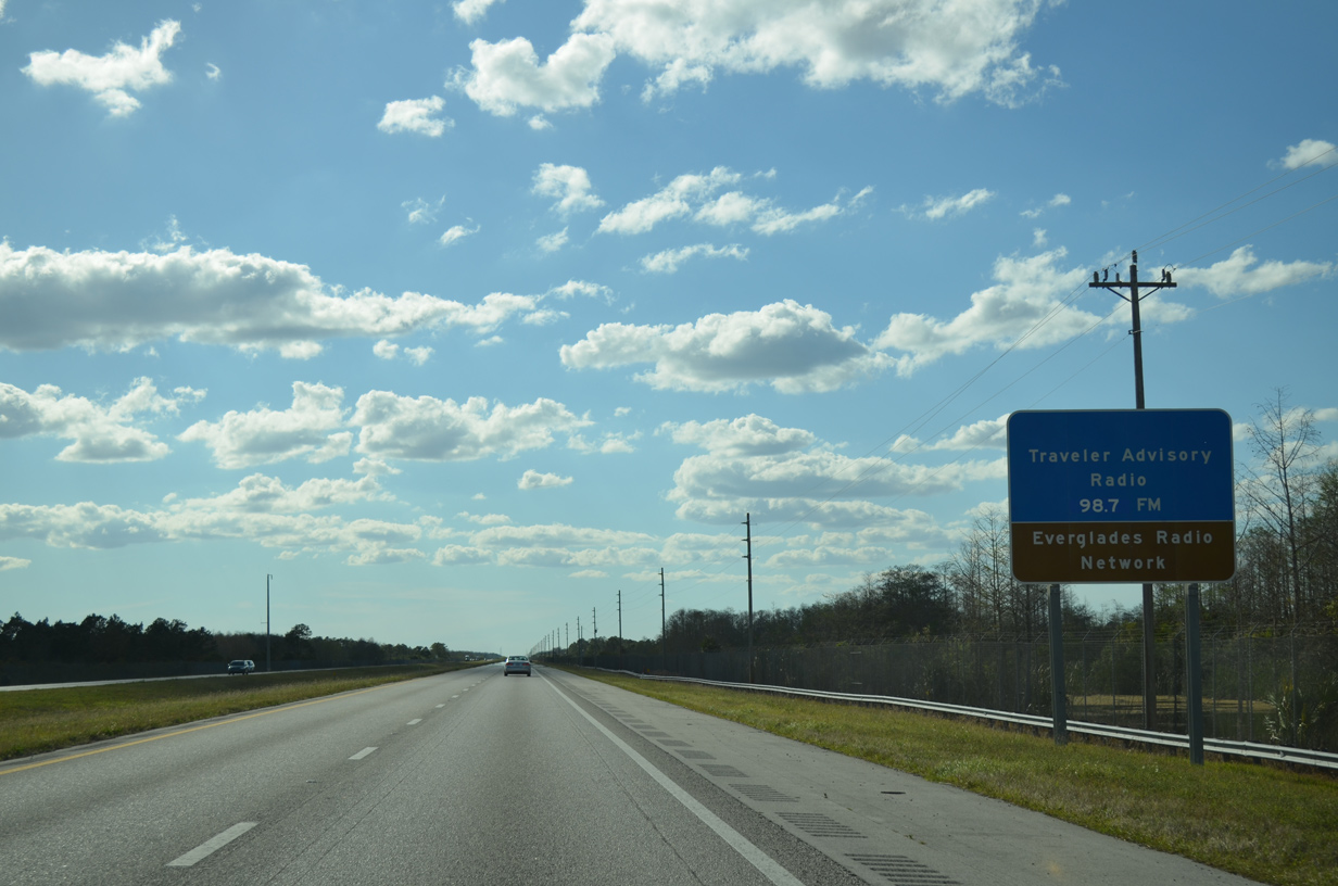
| Ditches line both sides of Interstate 75 through Big Cypress National Preserve. The Everglades Radio Network to Alley provides traveler information. 03/04/14 |
|
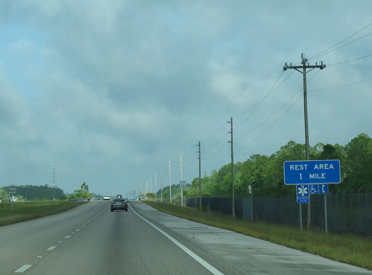
| 11.4 miles west of the county line at mile marker 63, a diamond interchange serves a rest area south of Billy Strand and north of Bamboo Strand. 04/23/16, 10/18/14 |
|
| The Collier County Rest area was closed between June 2013 and August 22, 2014 as part of an $8.8 million project to modernize the facility and construct a public safety center for Alligator Alley.1 10/18/14 |
|
| Interstate 75 proceeds west from the rest area by another shield assembly. 04/23/16 |
|
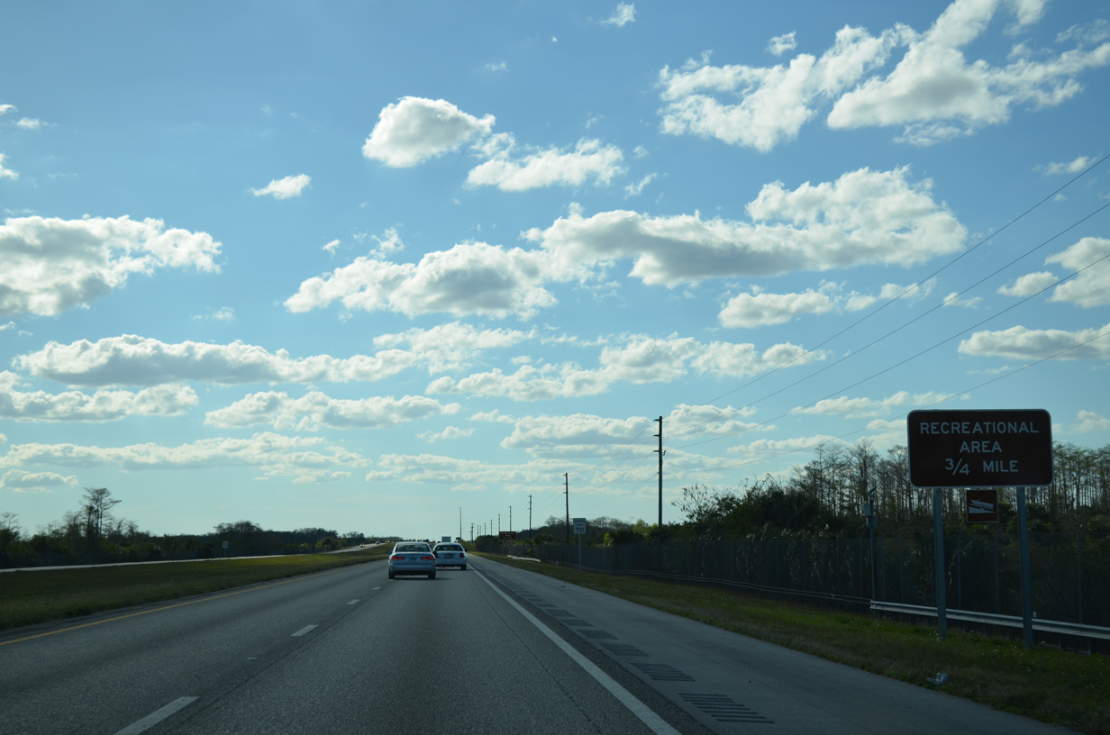
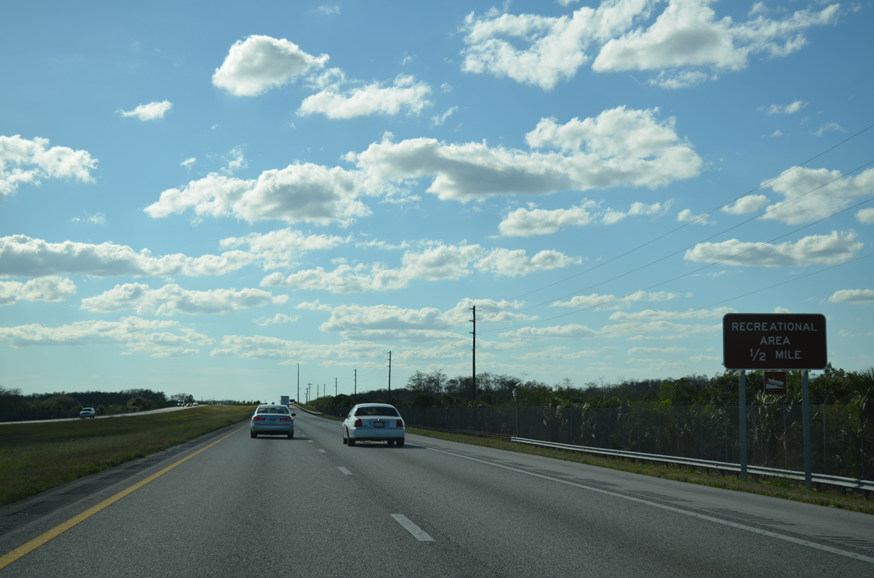
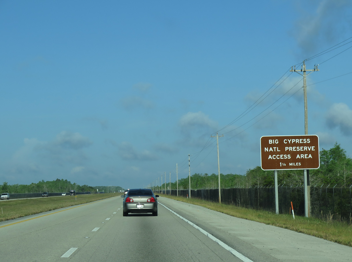
| The main Big Cypress National Preserve Access Area lines Interstate 75 to the south of Little Marsh and north of Baxter Island beyond mile marker 70. There are no boat ramps at this area. 04/23/16 |
|
| Interstate 75 continues west toward the southward kink near East Hinson Island and Deep Lake Strand. 04/23/16 |
|
| Alligator Alley shifts southward three quarters of a mile ahead of the CR 839 crossing at milepost 75. 04/23/16, 03/04/14 |
|
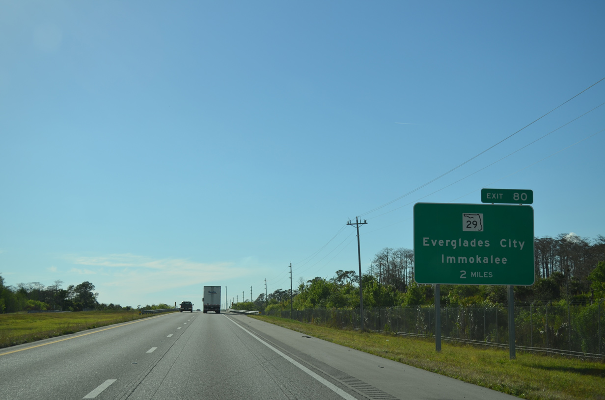
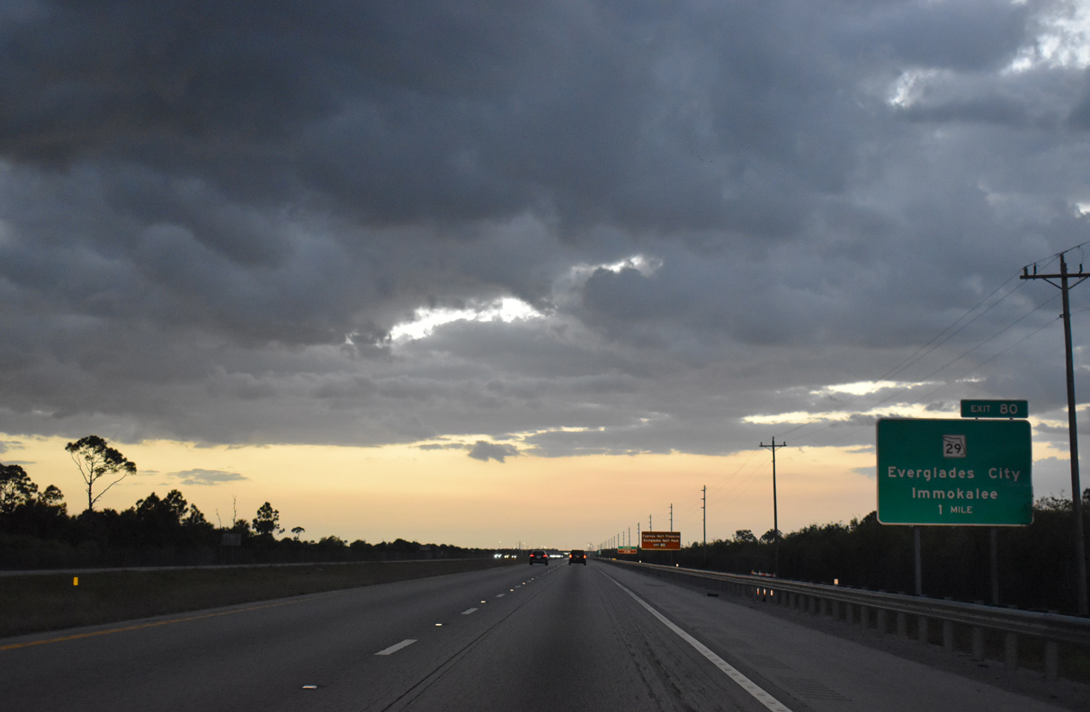
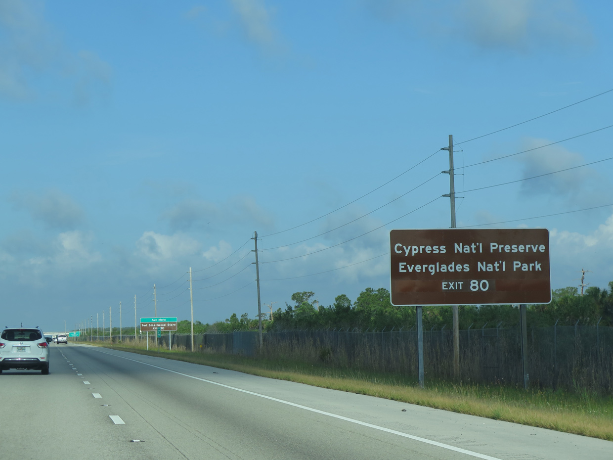
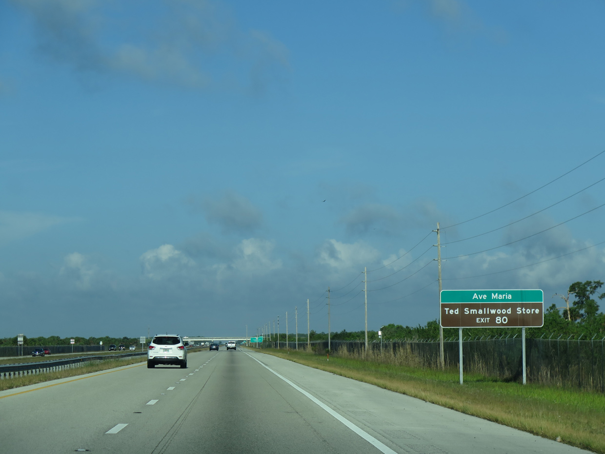
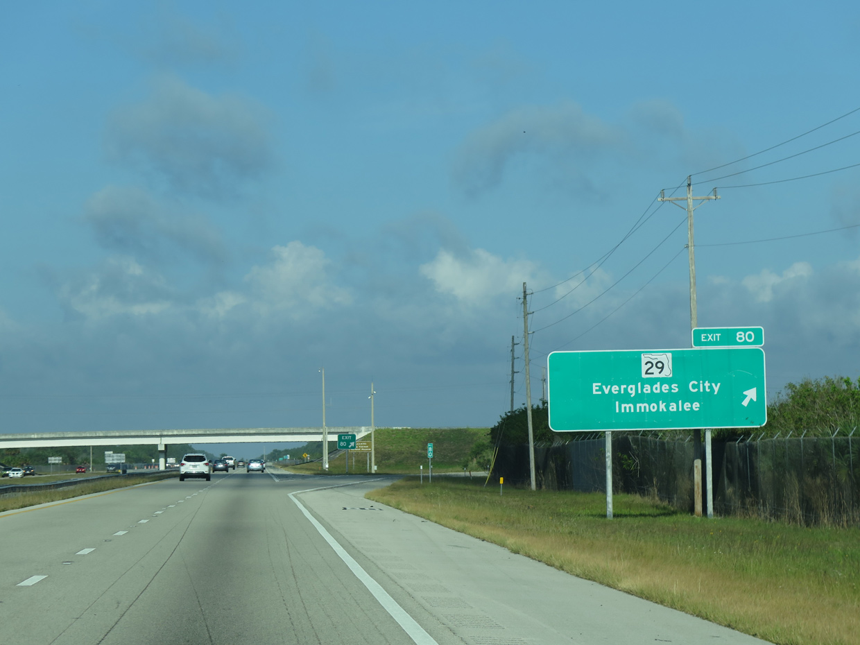
| The first Collier County interchange (Exit 80) joins Interstate 75 with SR 29 at Miles City in two miles. 03/04/14 |
|
| SR 29 north extends to Immokalee and La Belle before merging with U.S. 27 near Palmdale (northwest of Clewiston and west of Lake Okeechobee). 03/21/20 |
|
| SR 29 south leads visitors to area swamp attractions, including the Fakahatchee Strand Preserve State Park, Big Cypress National Preserve, and Everglades National Park. 04/23/16 |
|
| Ave Maria, a master-planned community, lies 19 miles to the northwest of Exit 80 via SR 29 north and CR 858 west. Plans for the 4,000 acre town got underway in 2004 and with the first homes built in 2007. 04/23/16 |
|
| SR 29 south extends to meet U.S. 41 (hidden SR 90) four miles west of Ochopee. The state-maintained portion ends at U.S. 41 while a county-maintained portion (Collier County Road 29) continues south, connecting Everglades City and Chokoloskee to the state road system. 04/23/16 |
|
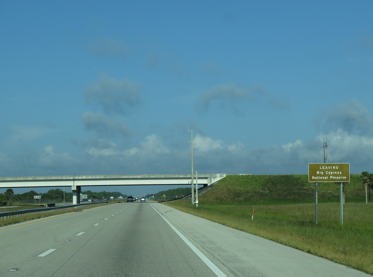
| Interstate 75 travelers leave Big Cypress National Preserve at the SR 29 overpass. 04/23/16 |
|
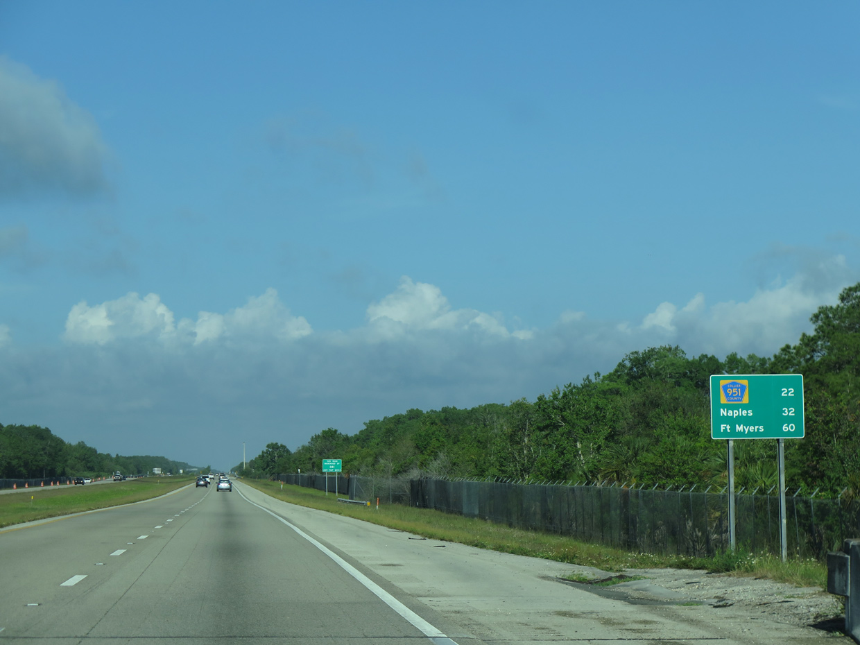
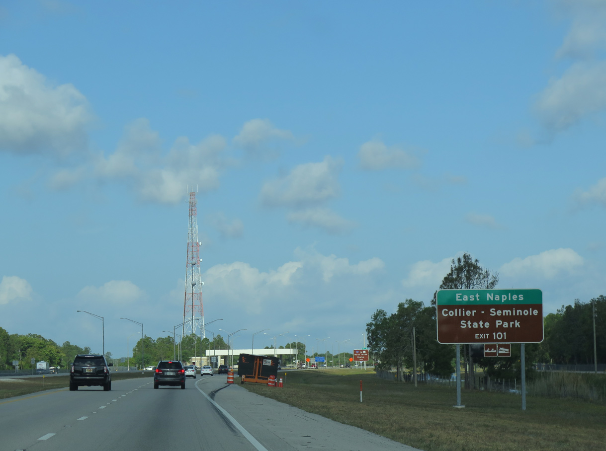
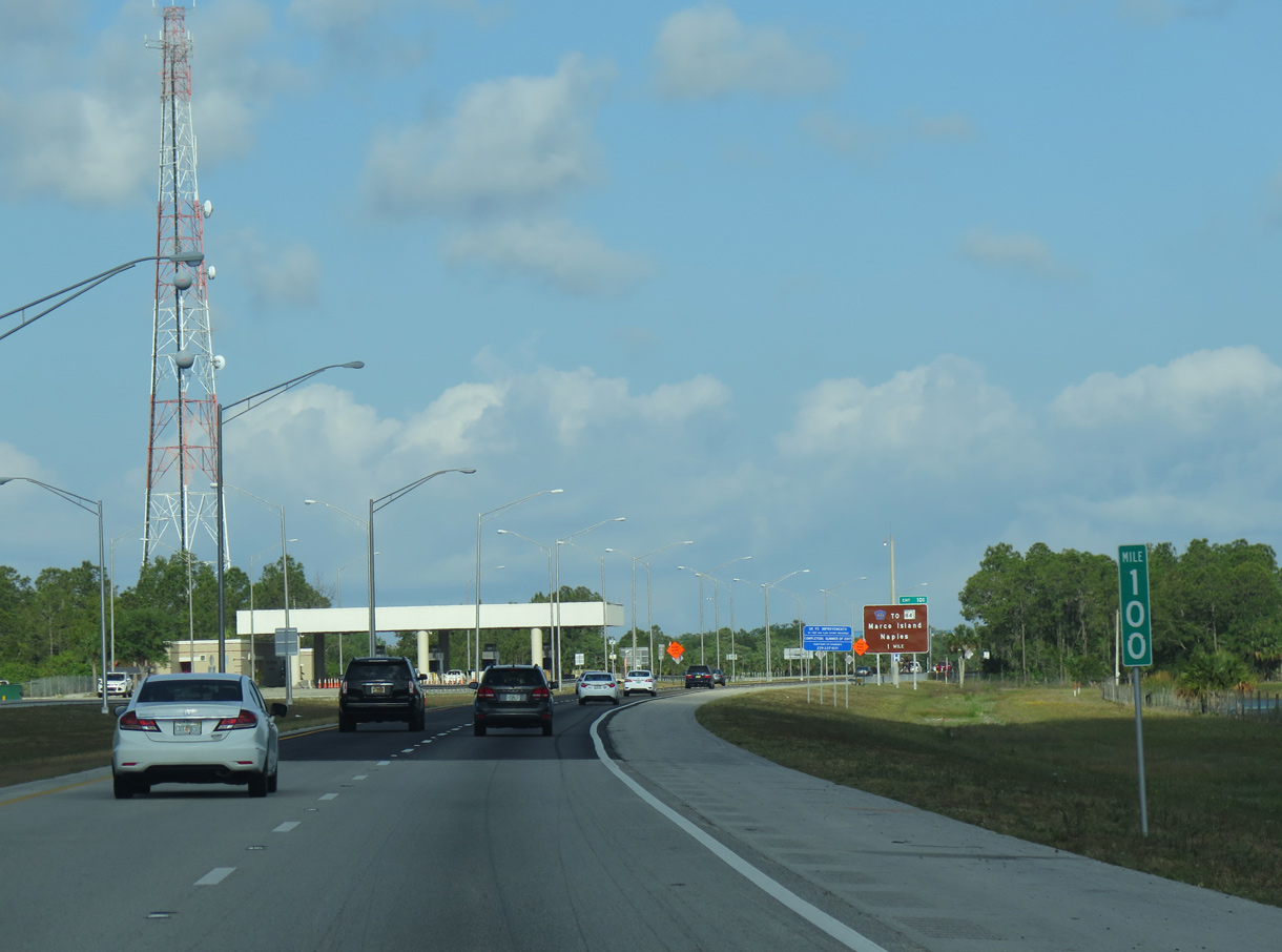
| Twenty-two miles separate SR 29 from Collier County Road 951 (Exit 101), which lies on the eastern periphery of Naples. 04/23/16 |
|
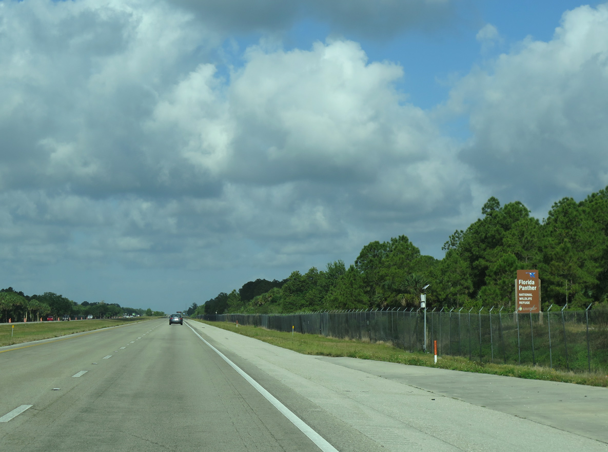
| Lands west from here remain protected as part of Florida Panther National Wildlife Refuge to the north and Fakahatchee Strand Preserve State Park to the south. 03/04/14, 04/23/16 |
|
| Two miles ahead of the Alligator Alley end, northbound motorists pass by a distance sign listing regional Interstate connections. Referencing major freeway interchanges, these signs are posted sporadically throughout the Florida Interstate system. 04/23/16 |
|
| Exit 101 to East Naples is the first of three interchanges along I-75 north serving the Golden Gate area. 04/23/16 |
|
| Interstate 75 passes along the north side of Picayune Strand State Forest to the Alligator Alley end on the outskirts of Naples. A southbound side toll plaza collects fares for the eastbound parkway. 04/23/16 |
Page Updated 07-21-2022.

 North
North