
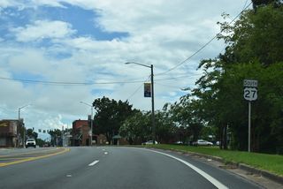
U.S. 27

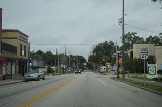
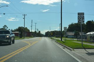
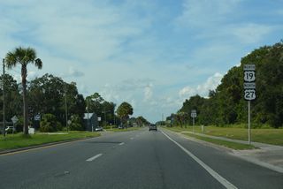
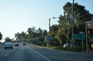
Traveling nearly 500 miles north along the Florida Peninsula from Miami to the Georgia state line at Darsey, U.S. 27 was a nationally important route bringing traffic from the Great Lakes to South Florida. Supplanted by Interstate 75 or overdeveloped with suburban expansion, U.S. 27 remains a regional route in the state as it angles southeast from Havana in Gadsden County to Tallahassee and the Big Bend of Florida. East from the capital city, U.S. 27 overlaps with U.S. 19 for 29.21 miles from Capps to Perry. U.S. 27 continues east to Mayo, Branford and Fort White while U.S. 27 Alternate runs concurrent with U.S. 19/98 south to Cross City, Old Town and Chiefland. The alternate route reconvenes with U.S. 27 to the east of Bronson at Williston.
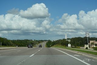
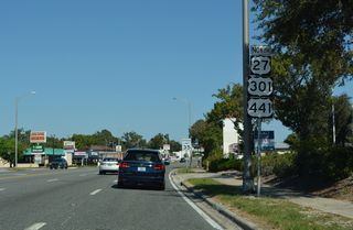
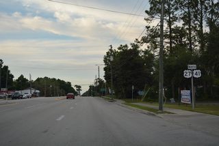
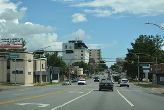
Within the city of High Springs in Alachua County, U.S. 27 resumes a southern heading, combining with U.S. 41 for 33.48 miles through Newberry, Archer and Williston. U.S. 41 stays to the west from there, serving cities closer to the Gulf of Mexico while U.S. 27 bends easterly to Ocala. Once in Downtown Ocala, U.S. 301/441 join U.S. 27 south to Belleview in southern Marion County.
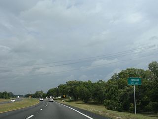
U.S. 301 splits with U.S. 27/441 from Belleview to Wildwood while U.S. 27/441 remain cosigned southeast to Lady and Leesburg in Lake County. The terrain becomes more hilly as the highway parallels Florida's Turnpike southeast to Minneola and Clermont. Within this region is Sugarloaf Mountain, the highest point on the Florida peninsula.
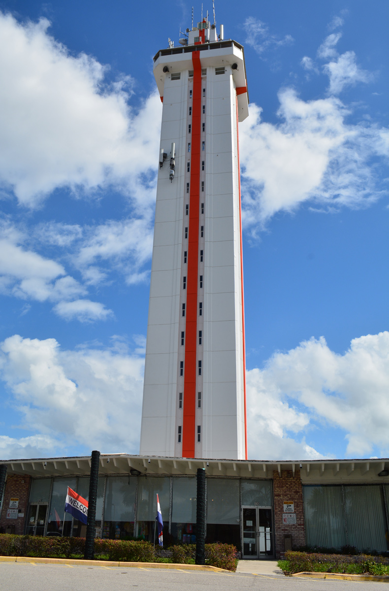
Built in 1956 and located just off U.S. 27 in Clermont, Florida Citrus Tower rises to a height of 226 feet. The observation deck overlooks suburban development where citrus groves once grew. - 10/19/2017
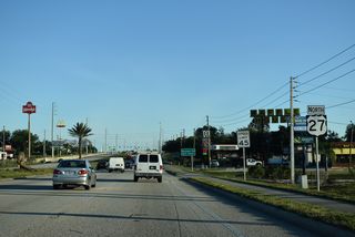
Staying to the west of Orlando, U.S. 27 was originally a viable through route with four overall lanes amid rural settings. Suburban development from Clermont south to Four Corners and Haines City however replaced wide open stretches of roadway with a slower moving arterial populated with traffic lights. The suburban landscape continues southward through east Polk County to Dundee and Lake Wales. Decommissioned by the early 2000s, a second U.S. 27 ALT was designated south between Haines City and Frostproof along an older two lane alignment of U.S. 27 to the east.
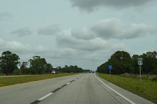
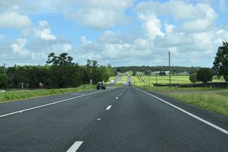
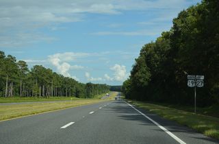
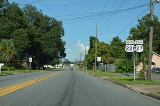
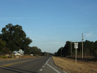
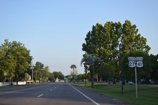
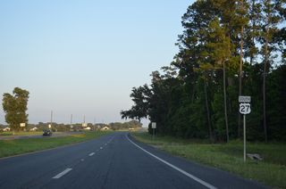
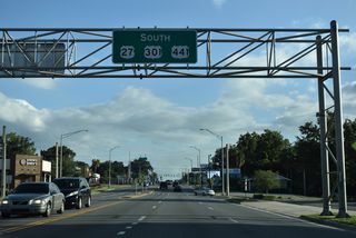
Southward into Highlands County, U.S. 27 reaches Avon Park and Lake Jackson at Sebring. U.S. 98 combines with U.S. 27 for 40.06 miles from near West Frostproof south to near De Soto City. Beyond U.S. 98 to Lake Placid, U.S. 27 becomes more rural, generally serving agricultural interests southward into Glades County. Once at Palmdale, the highway turns easterly again, advancing to the city of Moore Haven and Lake Okeechobee.
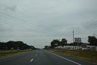
Following the periphery of Lake Okeechobee, U.S. 27 runs south from Moore Haven to State Road 80 and east with SR 80 to Clewiston. The two routes overlap from Hendry County east toward Belle Glade. U.S. 27 turns south from the lake and SR 80 at South Bay across sugarcane fields to the northern reaches of the Everglades and Interstate 75 (Alligator Alley) at Andytown.
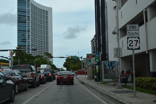
Passing the western extent of built up Broward County, U.S. 27 maintains four lanes along Okeechobee Road to the Miami-Dade County line. Beyond SR 997, U.S. 27 angles southeast toward Miami by way of Hialeah Gardens, Hialeah and Miami Springs. Okeechobee Road carries the route to NW 36th Street east, which U.S. 27 takes paralleling the Airport Expressway (SR 112) to conclude at U.S. 1 (Biscayne Boulevard).
U.S. 27 Florida Guides
North
Miami to Hialeah Gardens - 60 photos
Miramar to South Bay - 50 photos
Clewiston to Moore Haven - 39 photos
Palmdale to Sebring - 35 photos

U.S. 27/98 - Sebring to Frostproof - 33 photos
Haines City to Four Corners - 38 photos
Clermont to Minneola - 41 photos
Groveland to Leesburg - 50 photos
U.S. 27/441 - Leesburg to Belleview - 54 photos
U.S. 27/301/441 - Belleview to Ocala - 51 photos
Ocala to Williston - 51 photos
U.S. 27/41 - Williston to High Springs - 28 photos
High Springs to Branford - 31 photos
Mayo to Perry - 45 photos
U.S. 19/27 - Perry to Capps - 47 photos
Waukeenah to Tallahassee - 55 photos
Tallahassee to Havana - 28 photos
South
Havana to Tallahassee - 68 photos
Tallahassee to Waukeenah - 68 photos
U.S. 19/27 - Capps to Perry - 57 photos
Perry to Mayo - 55 photos
Branford to High Springs - 62 photos
U.S. 27/41 - High Springs to Williston - 41 photos
Williston to Ocala - 41 photos
U.S. 27/301/441 - Ocala to Belleview - 36 photos
U.S. 27/441 - Belleview to Leesburg - 12 photos
Four Corners to Haines City - 26 photos
Lake Hamilton to Frostproof - 10 photos
Hialeah Gardens to Miami - 27 photos
 scenes
W.C. Owen Avenue (CR 832) north at U.S. 27/SR 80 (Sugarland Highway) in the city of Clewiston. The U.S. 27 shield assembly was replaced with a right lane must turn right regulatory sign by 2016.
07/05/11
Photo Credits:
- ABRoads: 07/05/11
Connect with:
Page Updated Monday May 06, 2024.