|
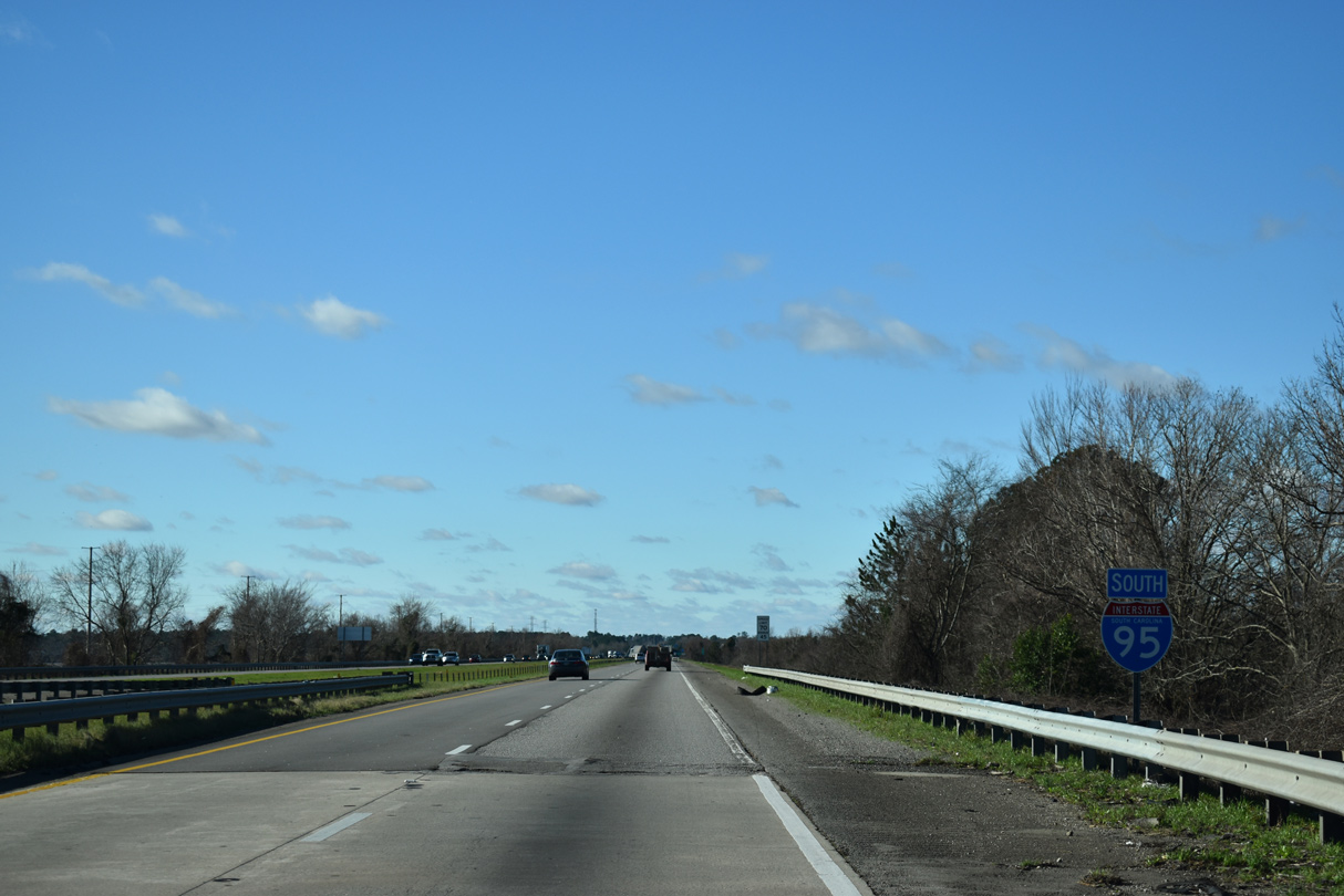
| A six mile exit less stretch takes Interstate 95 southwest to the outskirts of Summerton. 12/30/20 |
|
| Interstate 95 travels 16 miles to the Orangeburg town of Santee and 124 miles toward Savannah, Georgia. 12/30/20 |
|
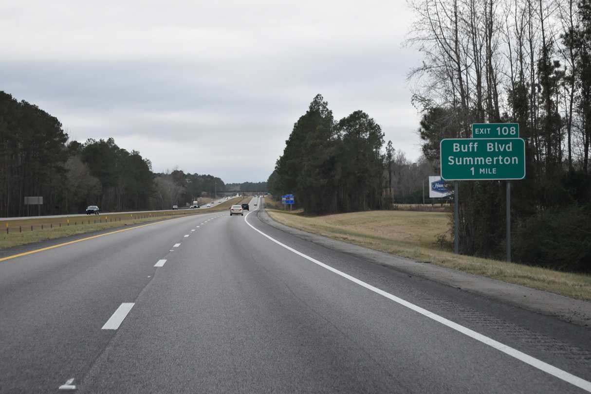
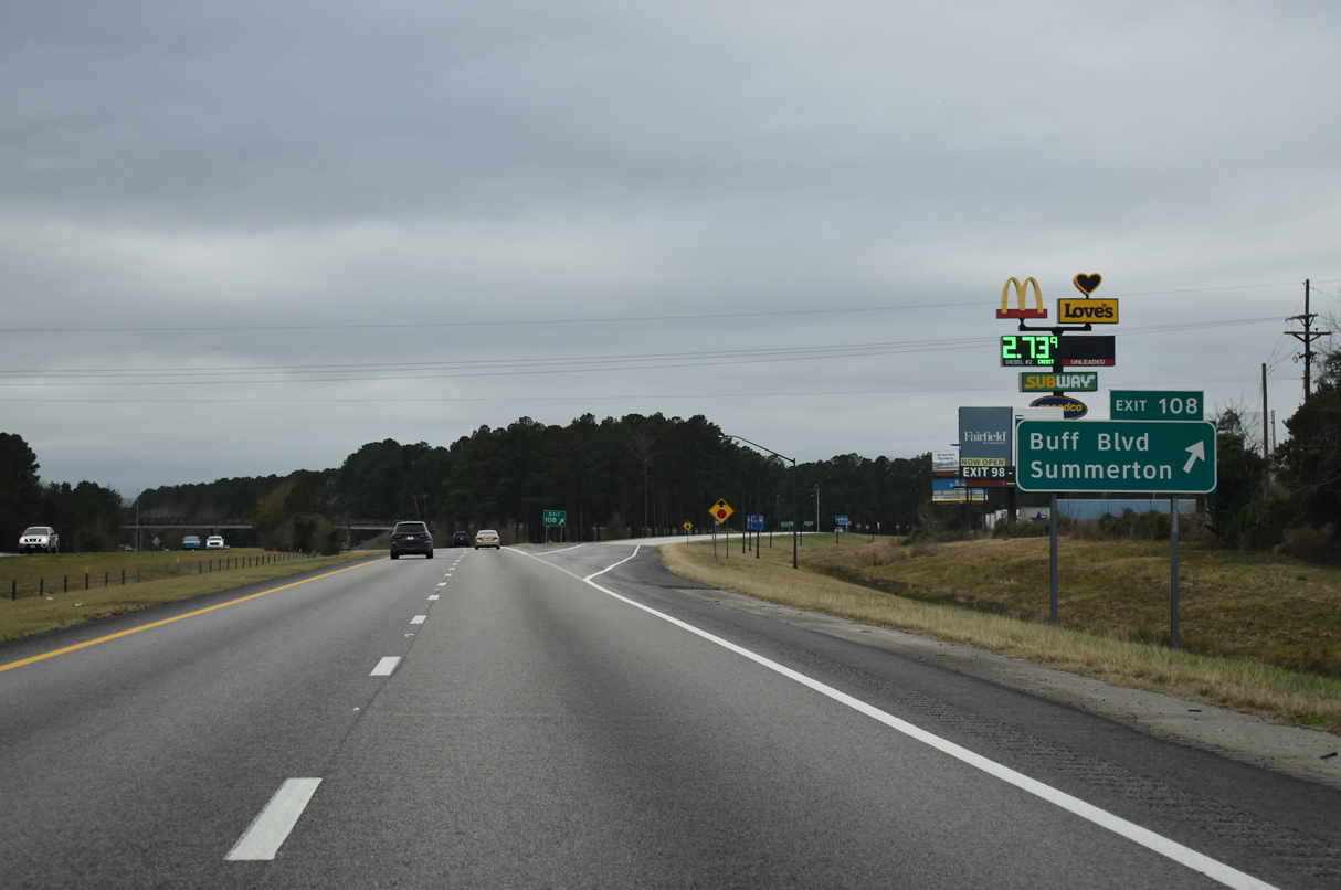
| Buff Boulevard links I-95 with U.S. 15/301 (Church Street) north to the Summerton business district from forthcoming Exit 108. 12/30/20 |
|
| U.S. 15/301 parallel I-95 southwest from Buff Boulevard to St. Paul and Cantey Bay off Lake Marion. South from Exit 108, Buff Boulevard becomes M.G. Hemingway Road 1.30 miles to Biff Davis Road, west of Davis Crossroads. 12/30/20 |
|
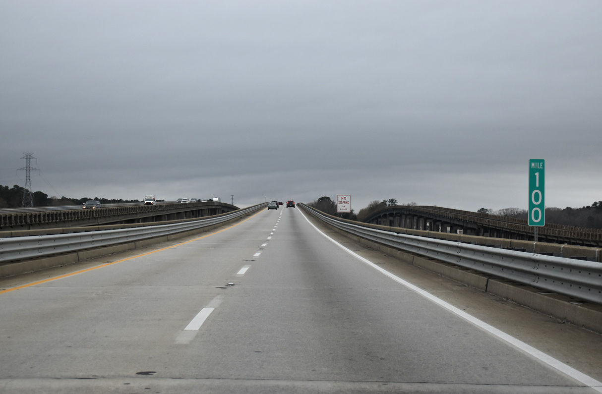
| Reassurance marker posted ahead of Little Toweaw Creek along Interstate 95 southbound. 12/30/20 |
|
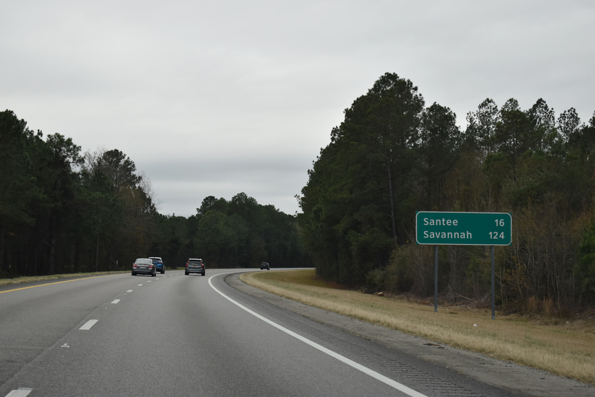
| Distance sign posted nine miles from Santee and 117 miles from Savannah, Georgia. 12/30/20 |
|
| Liberty Hill Road (Road 373) spans I-95 south from U.S. 15/301 at Saint Paul. 12/30/20 |
|
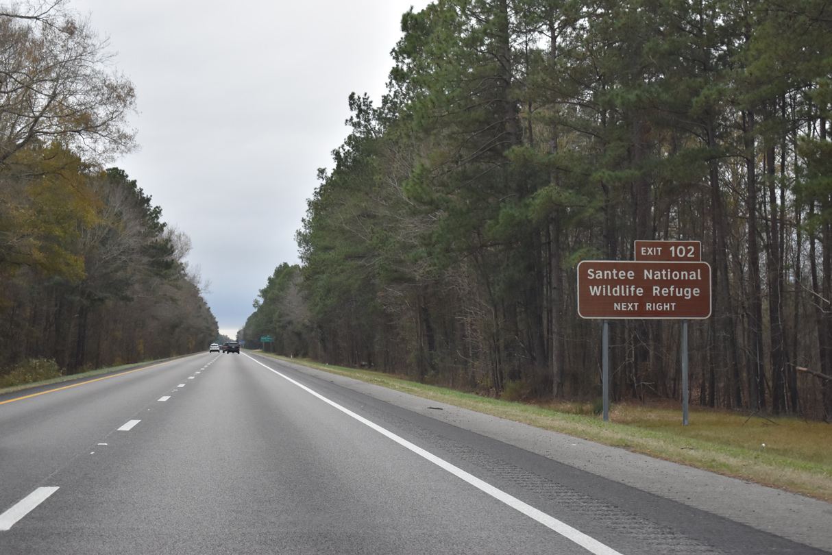
| U.S. 15/301 converge with Interstate 95 by Santee National Wildlife Refuge at Exit 102. 12/30/20 |
|
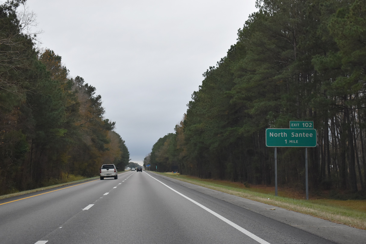
| U.S. 15/301 overlap with I-95 south from North Santee across Lake Marion. 12/30/20 |
|
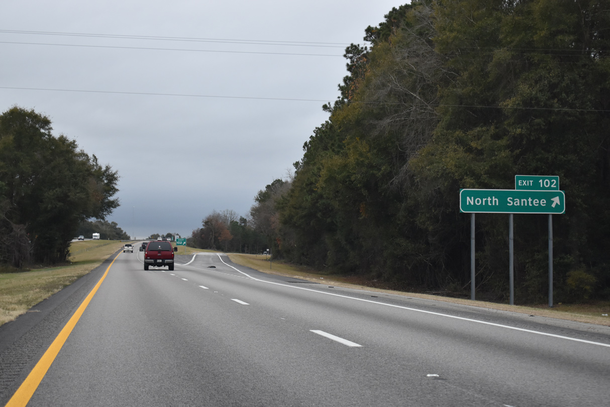
| A trumpet interchange (Exit 102) connects Interstate 95 with U.S. 15/301 north onto adjacent St. Paul Road back to Summerton. St. Paul Road south ends 0.57 miles to the west at the closed Francis Marion Bridge. 12/30/20 |
|
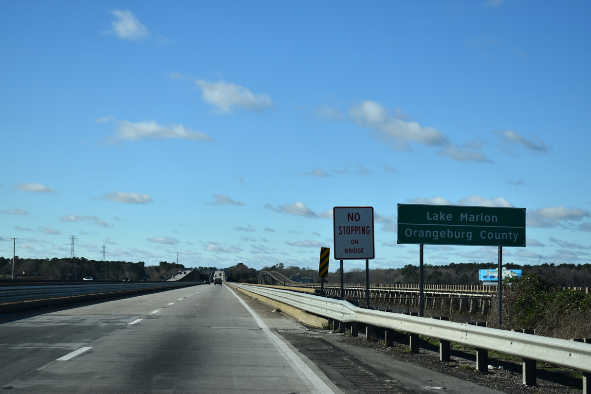
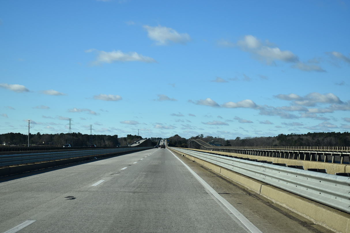
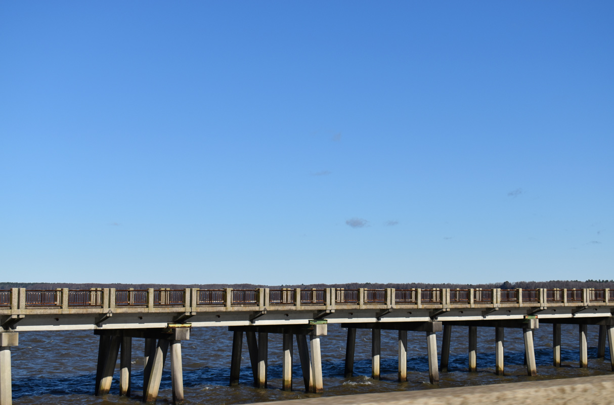
| I-95/U.S. 15-301 cross an inlet between the east shore of Lake Marion and a causeway preceding the main span over the man-made lake. 01/05/19 |
|
| With the parallel Francis Marion Bridge closed to vehicular traffic, U.S. 15/301 overlap with Interstate 95 south 4.96 miles to Santee. The pair are omitted on reassurance shields however. 01/05/19 |
|
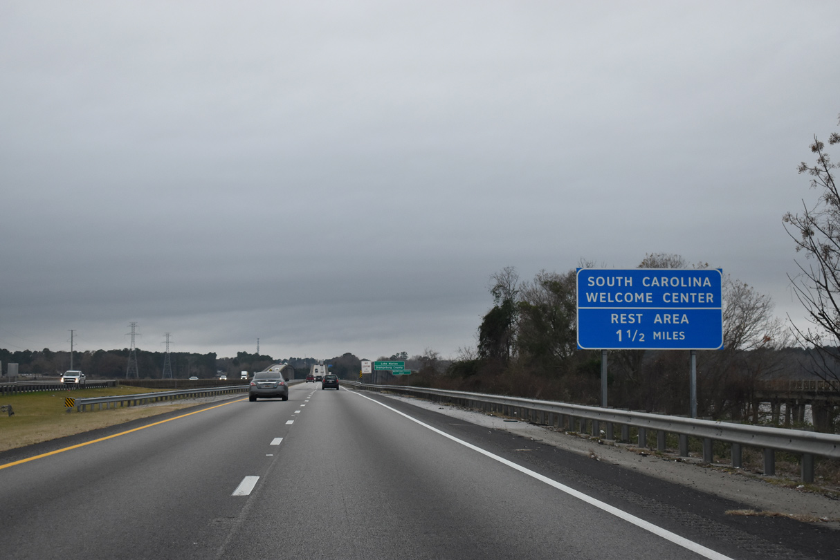
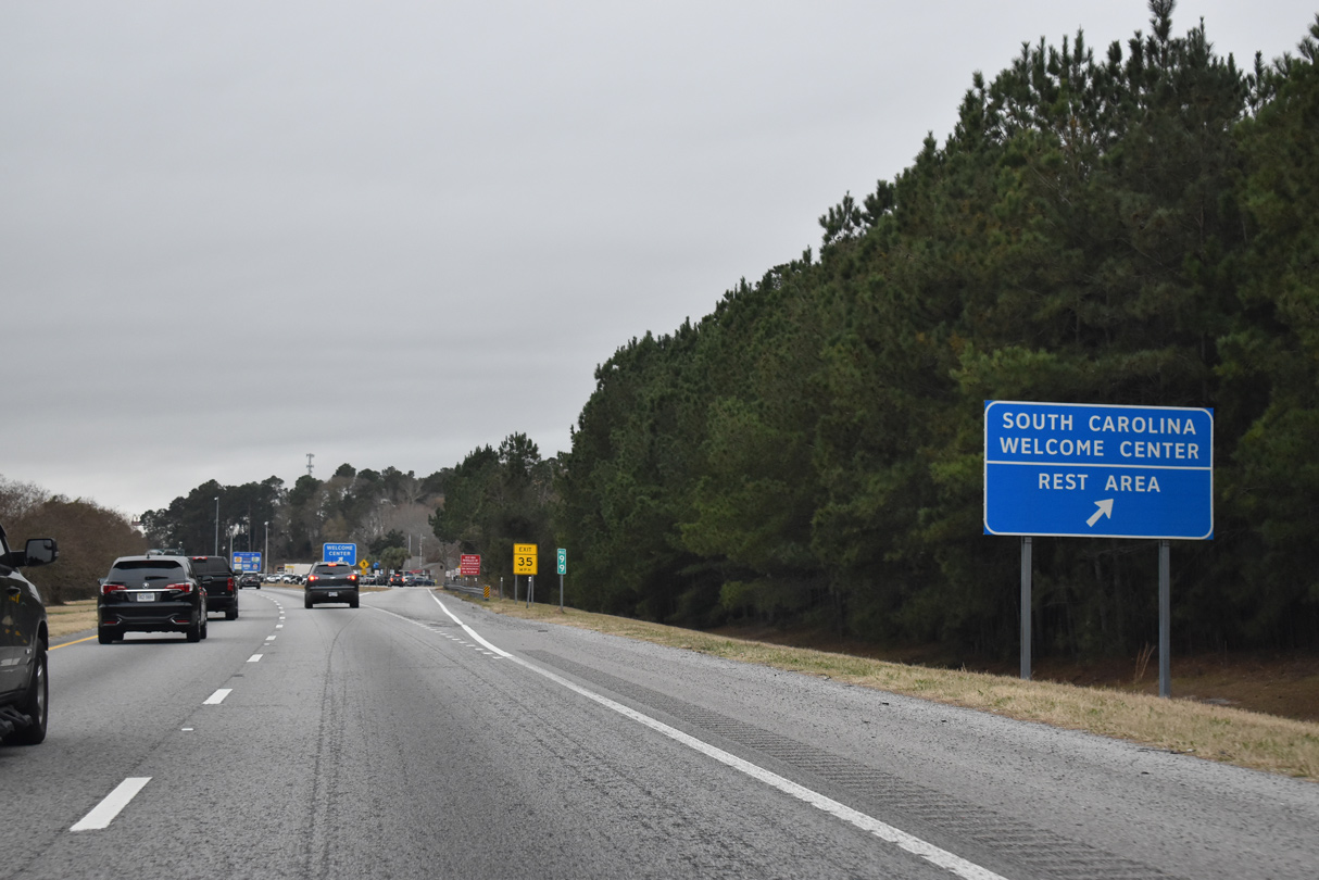
| A second South Carolina welcome center for Interstate 95 south lies just west of Lake Marion in 1.5 miles. 12/30/20 |
|
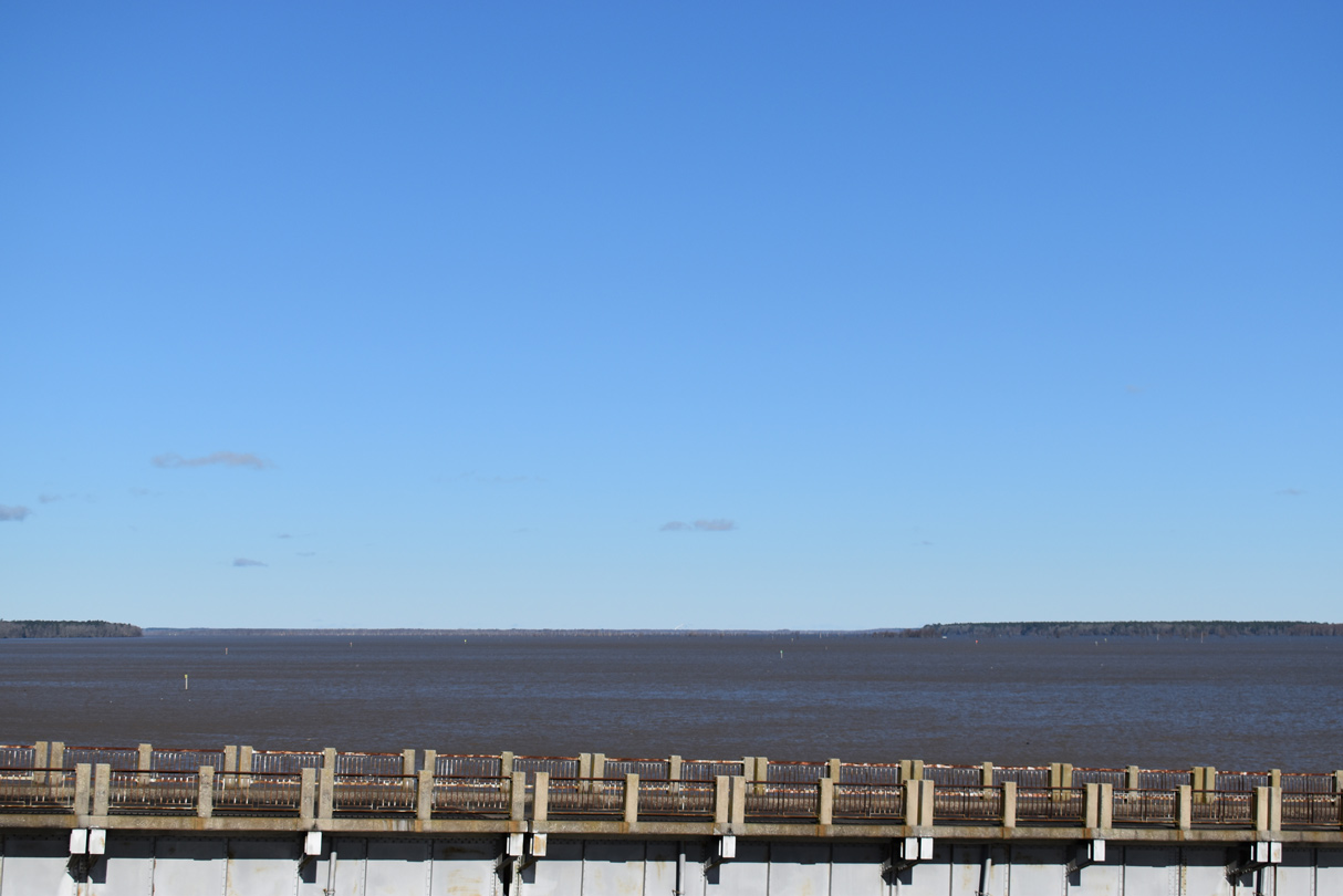
| The largest lake in the Palmetto State, Lake Marion was formed by Santee Dam along the Santee River in 1941.1 01/05/19 |
|
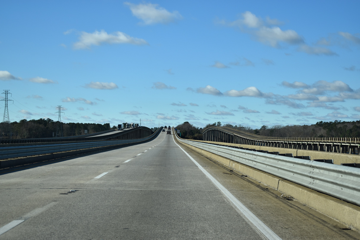
| U.S. 15/301 formerly crossed the adjacent Francis Marion Bridge along the north side of I-95. 01/05/19 |
|
| Built in the 1940s, the Francis Marion Bridge is open for fishing and will become a part of the 500 mile Palmetto Trail for hikers and bicyclists.2 01/05/19 |
|
| The substandard bridges carrying Interstate 95 across Lake Marion measure 4,500 feet in length. The spans date back to 1968.3 01/05/19, 12/30/20 |
|
| Forthcoming S.C. 6 parallels the I-26 corridor northwest from Moncks Corner 116 miles to Lexington. 12/30/20 |
|
| The Santee rest area for Interstate 95 south lies across from Bass Drive (old U.S. 15-301) and the Chapel Branch arm of Lake Marion. 12/30/20 |
|
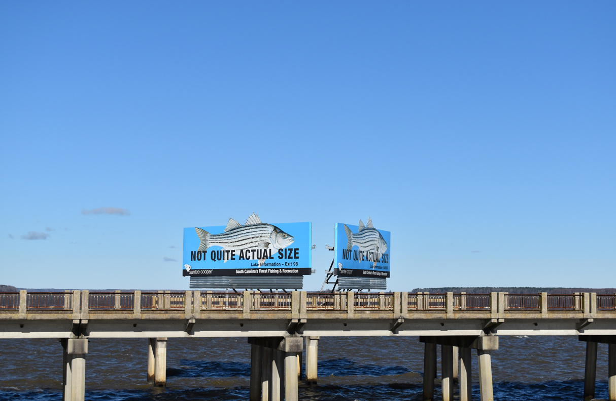
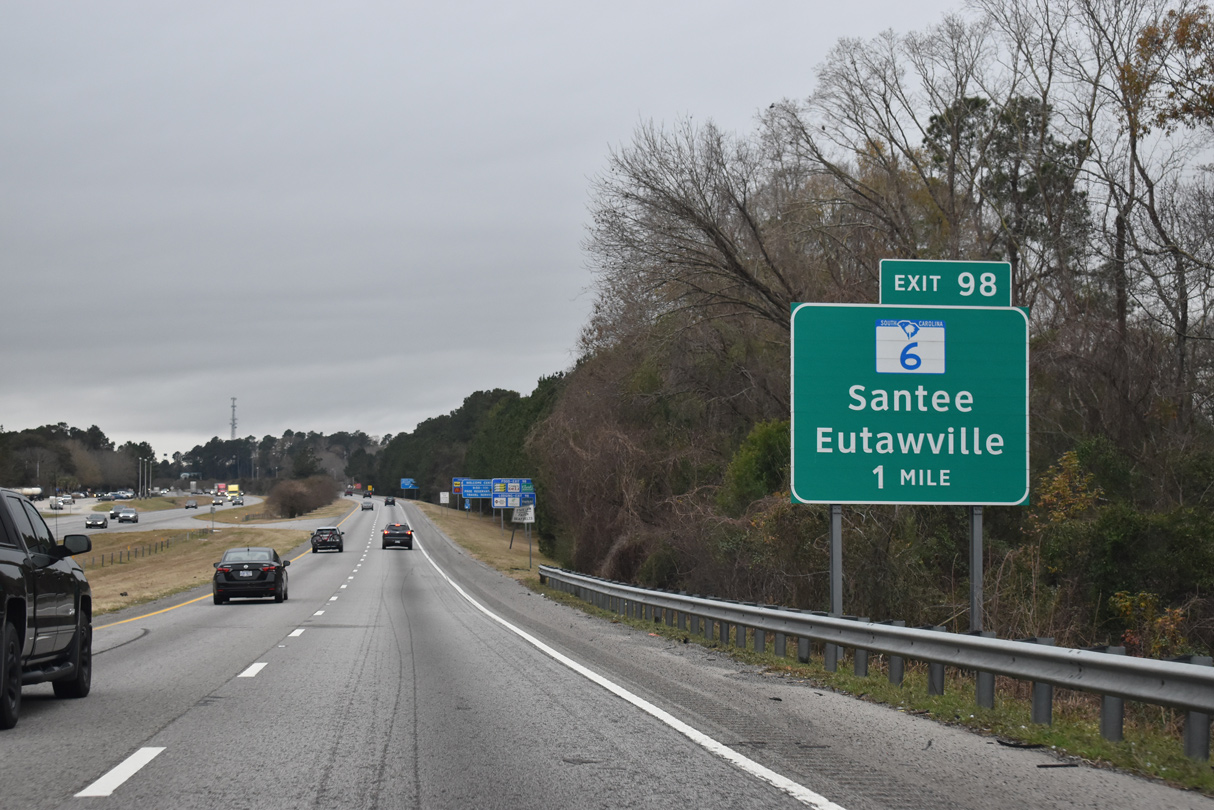
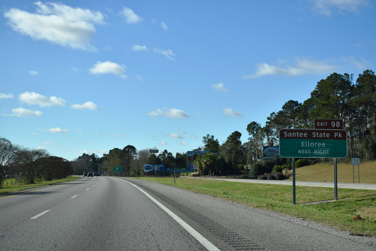
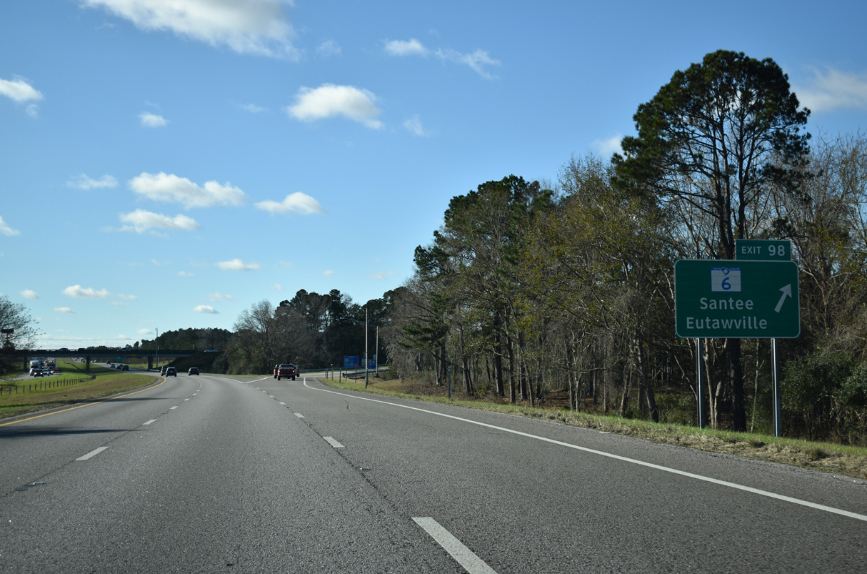
| Exit 98 joins I-95/U.S. 15-301 with S.C. 6 (Old Number Six Highway) by Lake Marion Golf Course and Santee State Park, 6.5 miles southeast from the town of Elloree. 01/05/19 |
|
| Entering the diamond interchange (Exit 98) with S.C. 6 on I-95 south. S.C. 6 links the freeway with U.S. 15 Connector (Bass Drive) 2.14 miles south through Santee. The town of Eutawville is located ten miles to the east at S.C. 45. 01/05/19 |
|
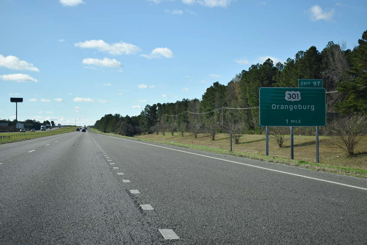
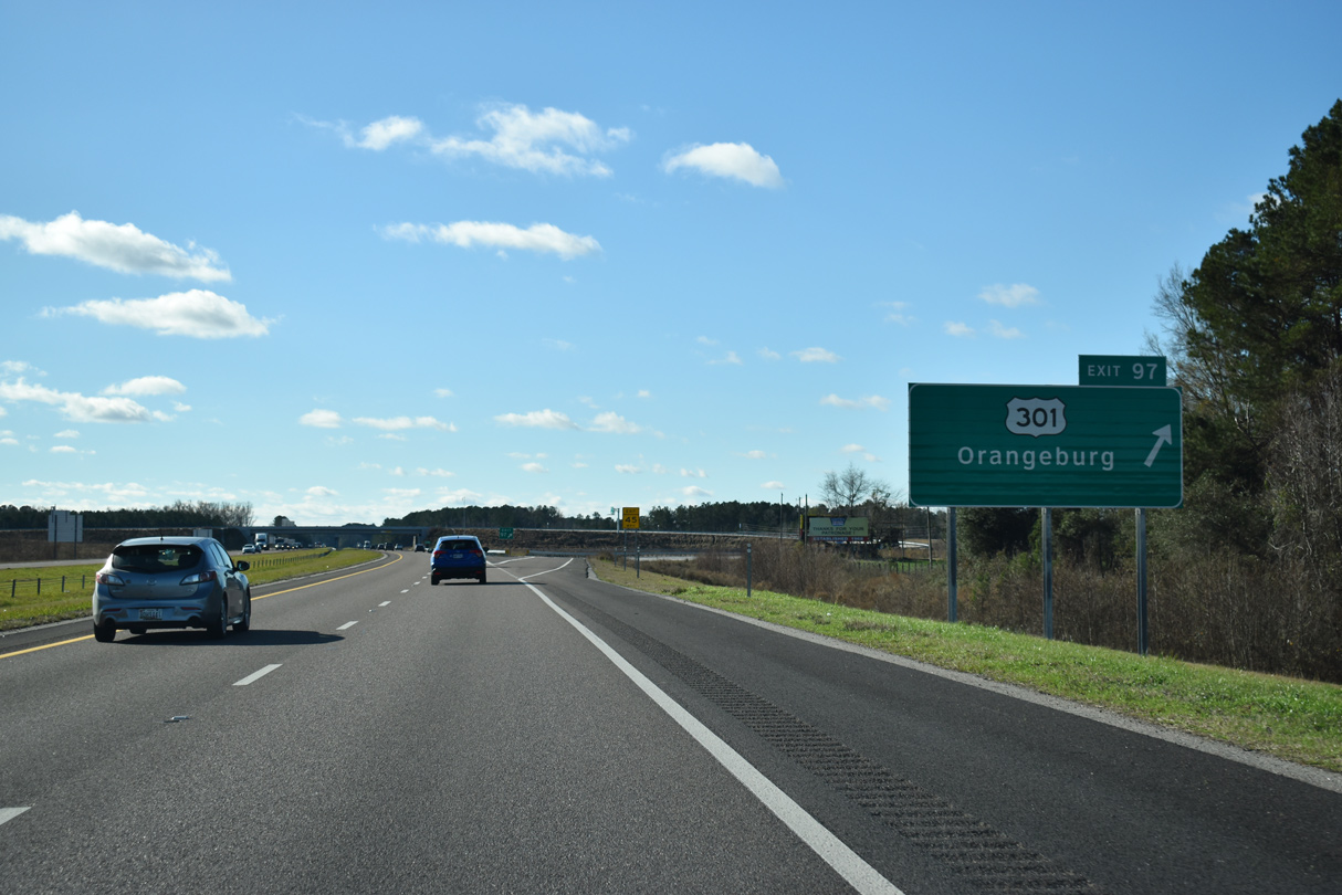
| U.S. 15/301 part ways with Interstate 95 south at Exit 97. Construction from 2014 to 2017 expanded the interchange into a six-ramp parclo with S.C. 6 CONN (Five Chop Road) built east 1.69 miles to S.C. 6. 01/05/19 |
|
| Exit 97 was closed during work to reconfigure the exchange at Five Chop Road. U.S. 15/301 split just to the west at Bass Drive (U.S. 15 Connector). U.S. 301 constitutes a four lane corridor west 22 miles to Orangeburg while U.S. 15 represents a local route south around Gibson Bay. 01/05/19 |
|
| Interstate 95 passes east of Gibson Bay along the ensuing stretch south from Santee. 12/30/20 |
|
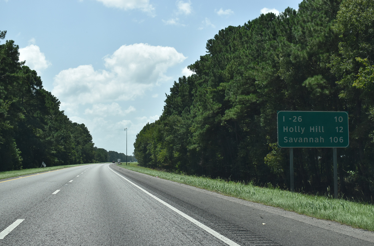
| Ten miles remain before I-95 gains traffic from Interstate 26 and points north to Charlotte and the Great Lakes. Savannah is over 100 miles out. 08/28/21 |
|
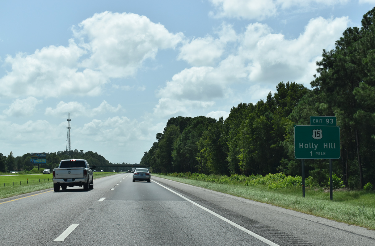
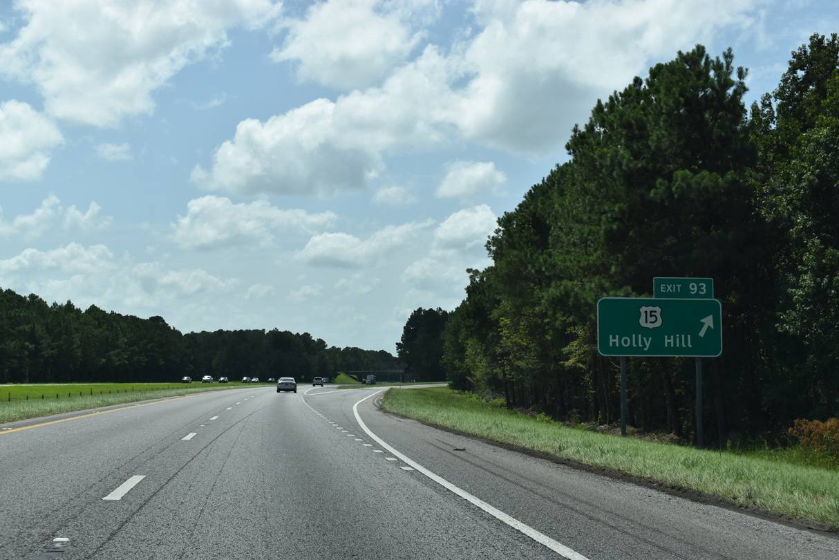
| U.S. 15 (Bass Drive) arcs south from U.S. 301 to cross paths with Interstate 95 again at Exit 93. U.S. 15 meets S.C. 210 (Vance Road) west from Vance nearby. 08/28/21 |
|
| Interstate 95 southbound at the diamond interchange (Exit 93) with U.S. 15. U.S. 15 continues 2.93 miles south to a five point intersection with U.S. 178 and S.C. 45 at Wells before turning southwest and paralleling I-95 for the remainder of the route to Waltersboro. 08/28/21 |
|
| Confirming marker posted between U.S. 15 and U.S. 176 on Interstate 95 south. 08/28/21 |
|
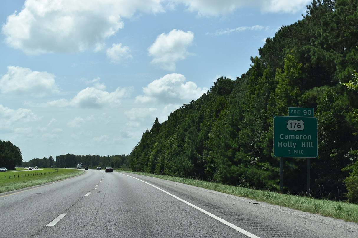
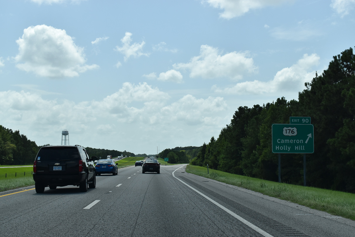
| U.S. 176 runs west from a diamond interchange (Exit 90) with I-95 to Providence and east to Wells. 08/28/21 |
|
| U.S. 176 (Old State Road) leads 6.7 miles southeast to Holly Hill and northwest 16.8 miles to Cameron. U.S. 178 originates at Goose Creek and follows the I-26 corridor north to Whitmire. 08/28/21 |
|
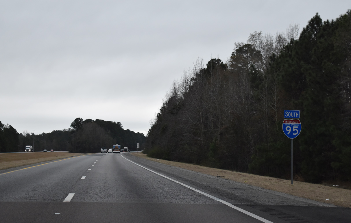
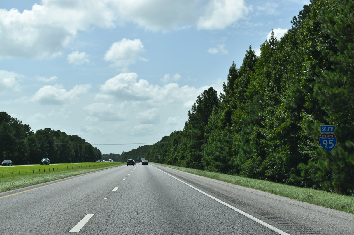
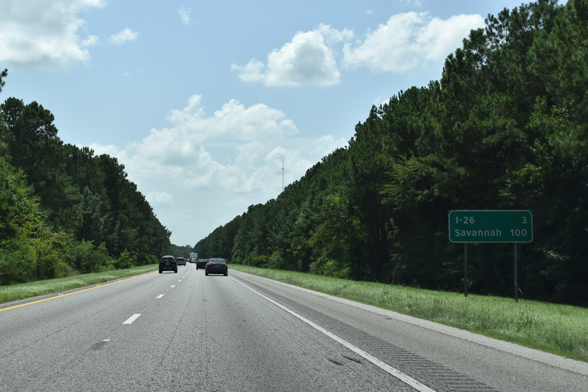
| I-95 proceeds three miles south from Providence Swamp to the exchange with I-26 and 100 miles toward Savannah. 08/28/21 |
|
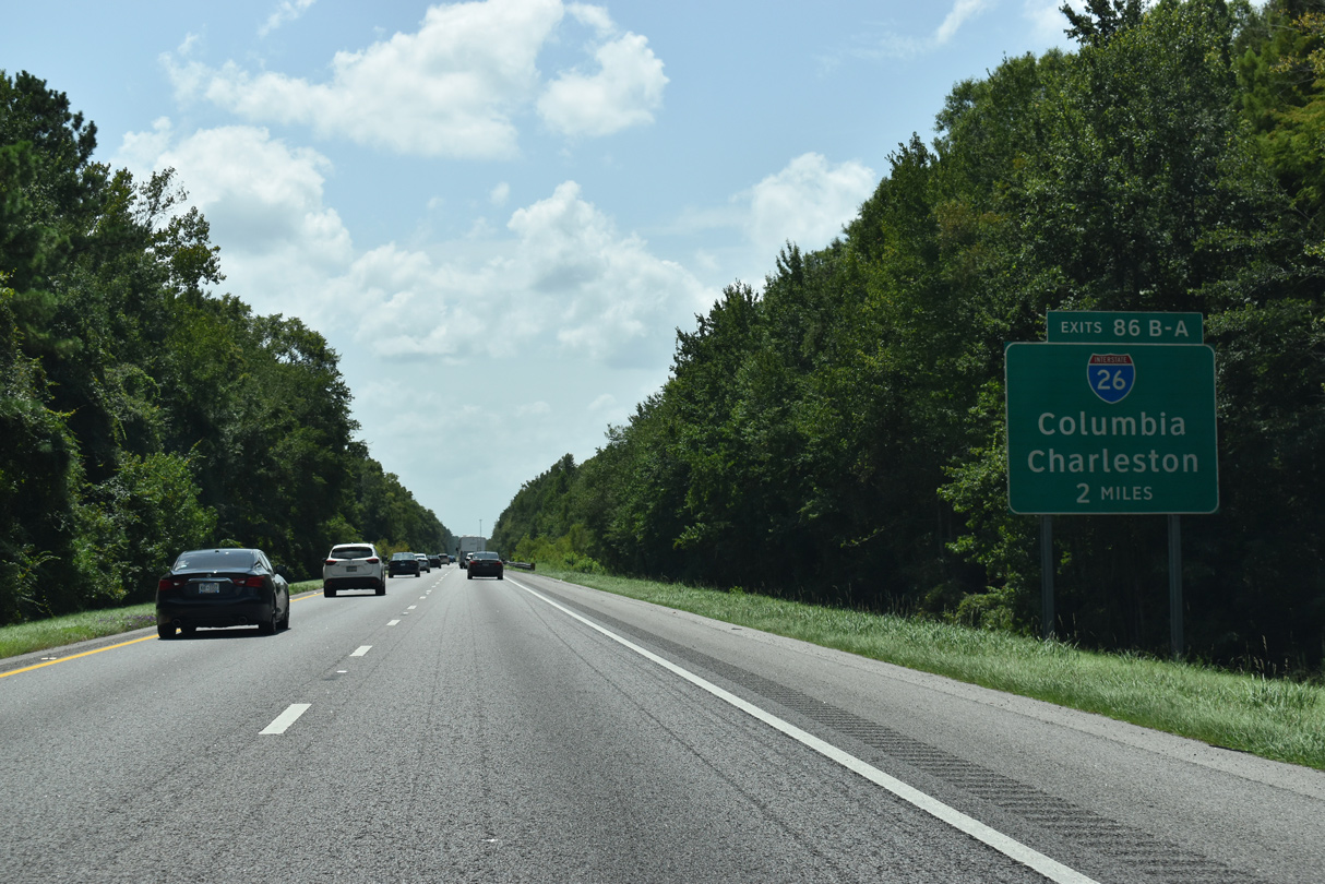
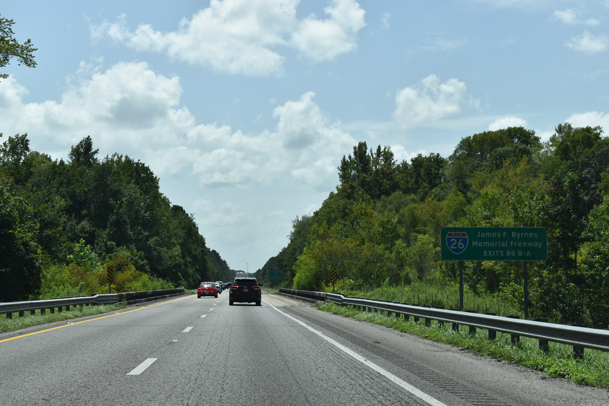
| I-95 crosses Four Hole Swap two miles ahead of the cloverleaf interchange (Exits 86B/A) with Interstate 26. 08/28/21 |
|
| Traveling 221 miles from Charleston and the Low Country to northwest to Landrum in the Upstate, I-26 is designated as the James F. Byrnes Memorial Freeway in South Carolina. 08/28/21 |
|
| Interstate 26 heads southeast along a rural route toward Summerville, where it expands into a commuter freeway leading to North Charleston. I-26 serves Charleston Naval Base and tourist traffic headed to Folly Beach and Sullivans Island. 08/28/21 |
|
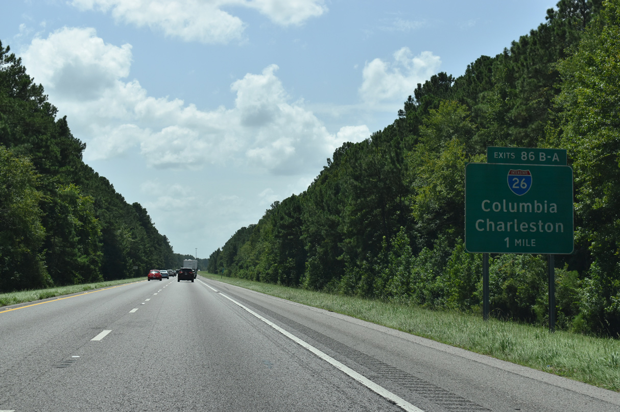
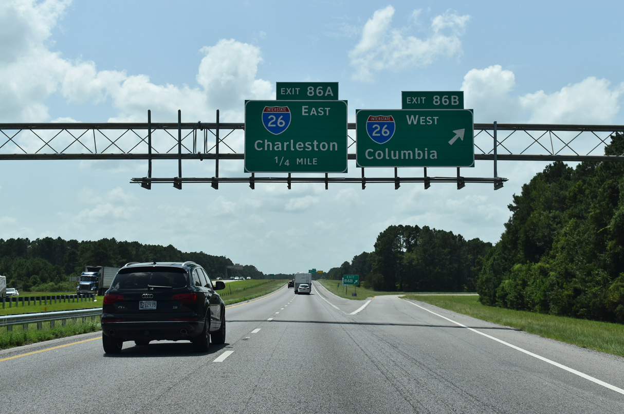
| Exit 86B joins I-26 northwest to Orangeburg, the capital city of Columbia, Greenville and Spartanburg part. I-26 extends beyond the Palmetto State to Asheville, North Carolina and Kingsport, Tennessee. 08/28/21 |
|
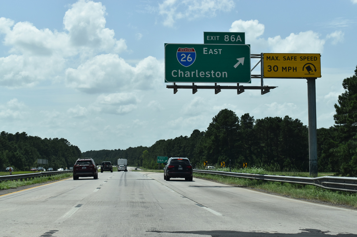
| Exit 86A loops onto Interstate 26 east for the final 52.29 miles leading to U.S. 17 south near Downtown Charleston. 08/28/21 |
|
| Traffic counts recorded by SCDOT in 2015 along I-95 south increased from 29,400 vpd to 43,000 vpd with the addition of motorists from Interstate 26 west. 12/30/20 |
|
| Interstate 95 enters Dorchester County to the immediate south of I-26. 08/28/21 |
|
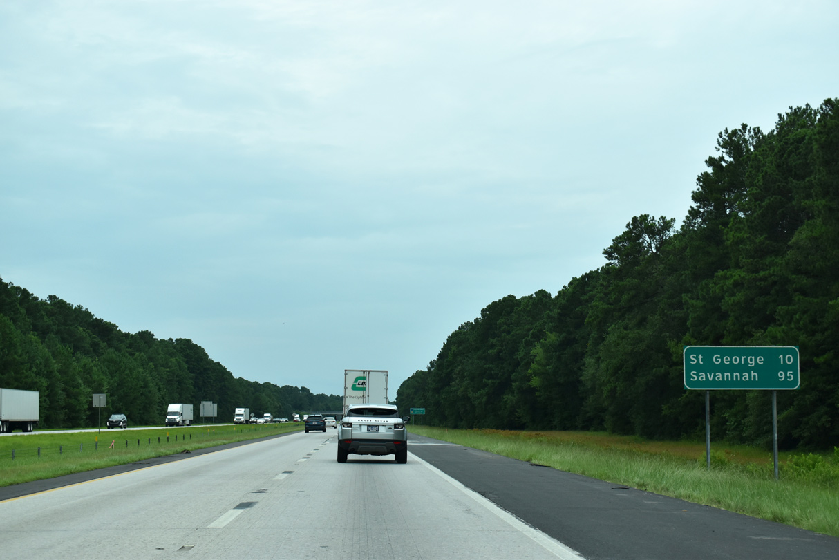
| The 16.04 mile stretch of Interstate 95 through Dorchester passes by the county seat of St. George in ten miles. Continuing south, I-95 leads travelers 95 miles to Savannah, Georgia. 05/26/19, 12/30/20 |
|
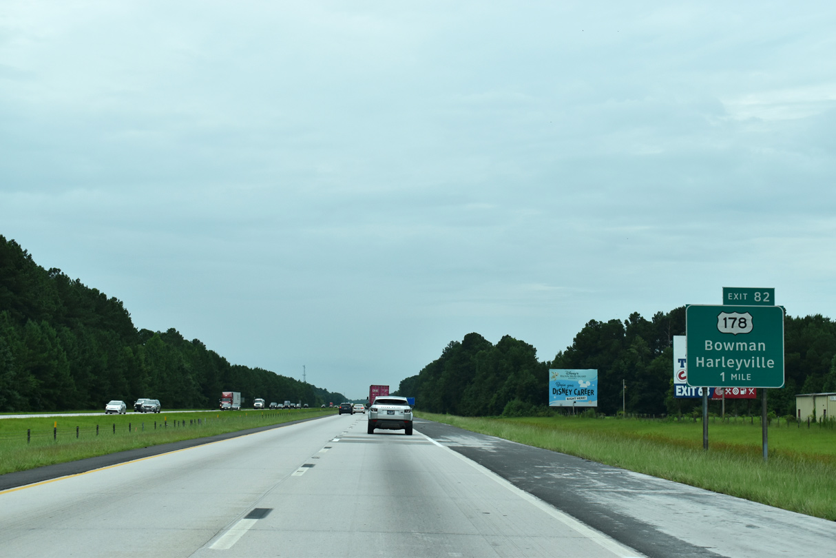
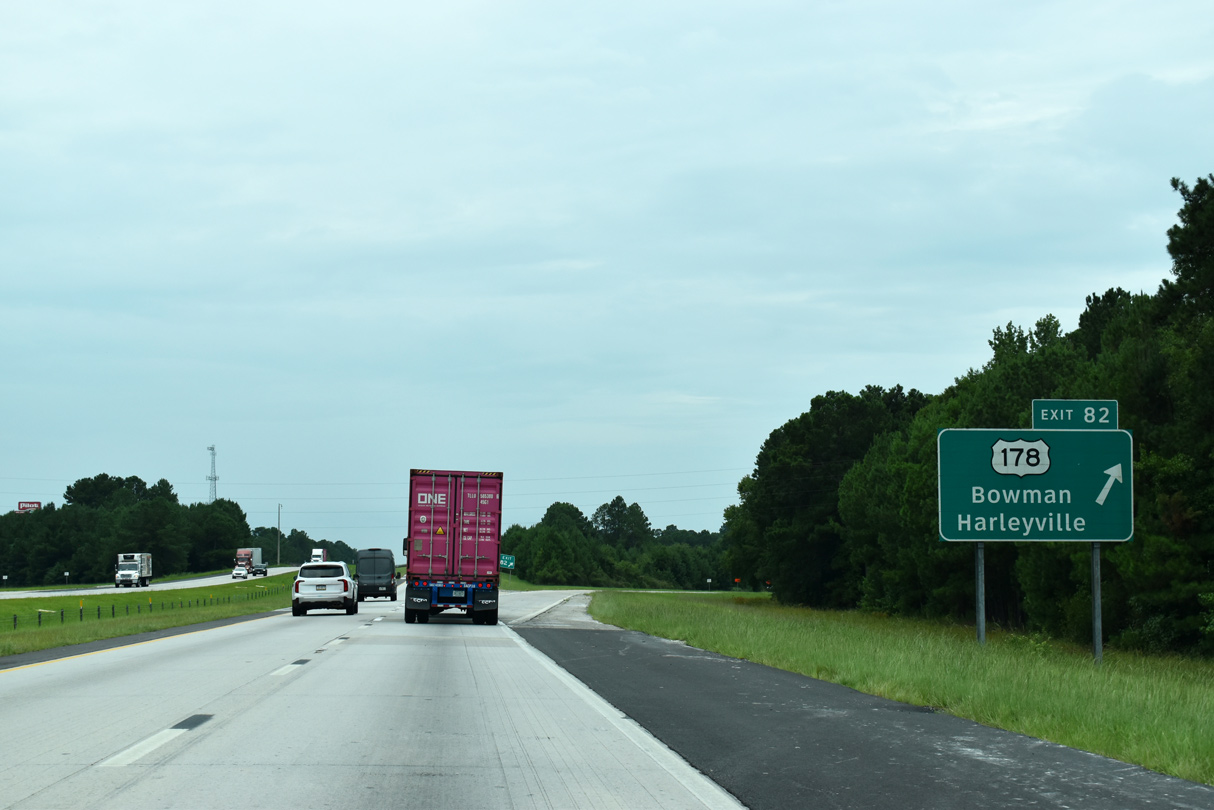
| U.S. 178 mirrors the course of I-26 to the west, like U.S. 176 does to the east, from U.S. 76 near Ridgeville to northern Orangeburg County. U.S. 178 connects I-95 with the town of Bowman, 8.6 miles to the northwest. 08/28/21 |
|
| A diamond interchange joins I-95 with U.S. 178 (Charleston Highway) at Exit 82, 2,59 miles west of U.S. 15 and Rosinville. 08/28/21 |
|
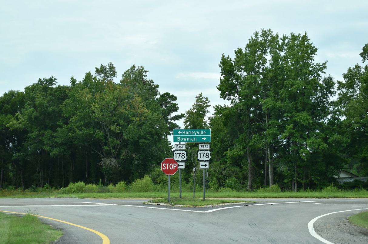
| U.S. 178 (Charleston Highway) heads 7.6 miles southeast from Exit 82 into the town of Harleyville. 12/21/13 |
|
| A mostly rural highway, U.S. 178 travels 240 miles overall from the Low Country of South Carolina to Rosman and U.S. 64 in Transylvania County, North Carolina. 12/21/13 |
|
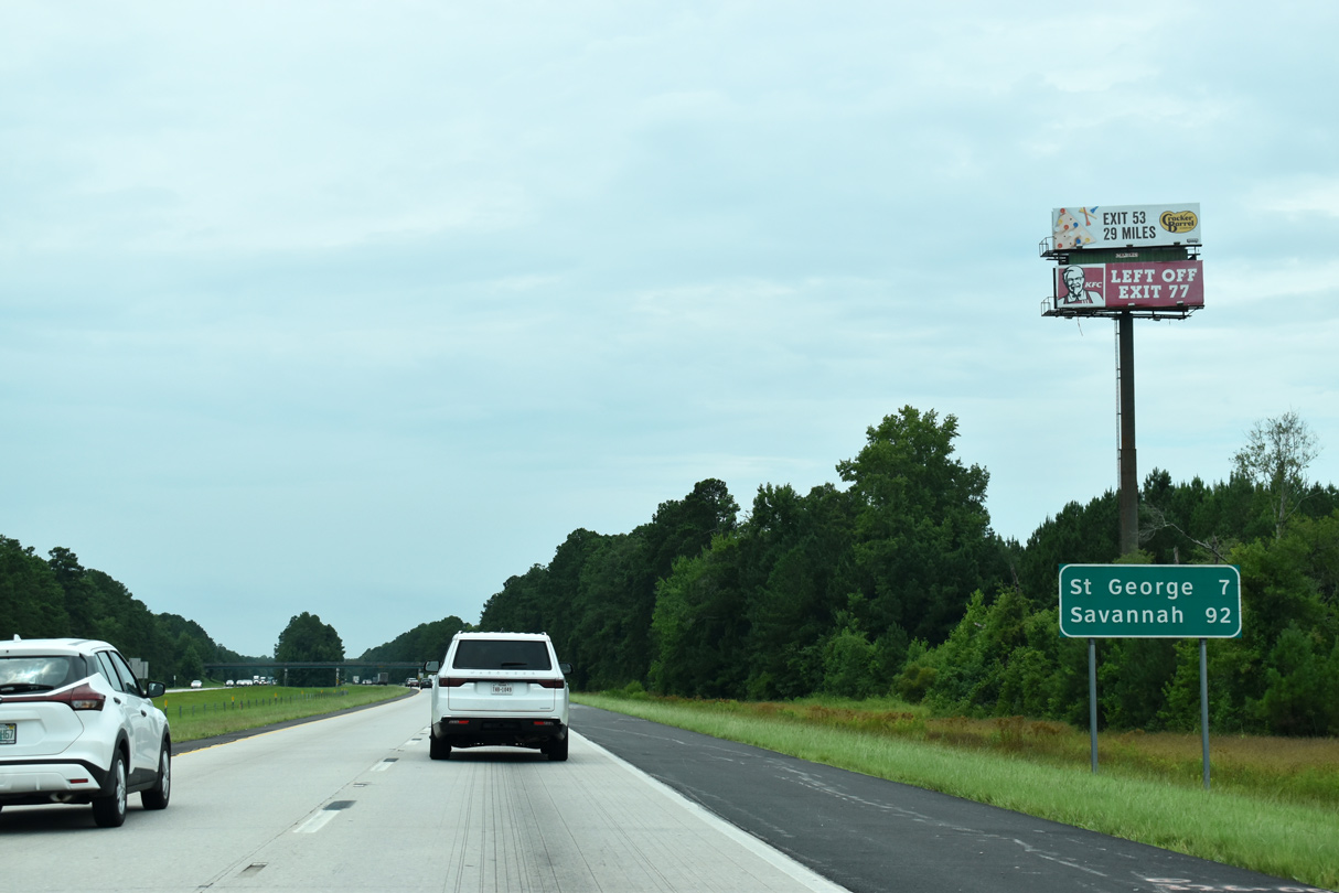
| Interstate 95 advances south from U.S. 178 to cross Indian Field Swamp over the succeeding five miles. Savannah is 92 miles away. 08/28/21 |
|
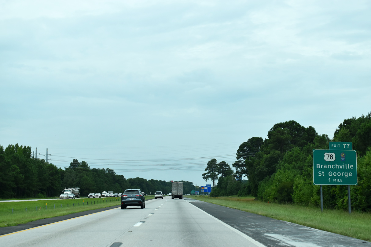
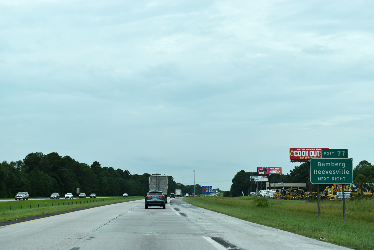
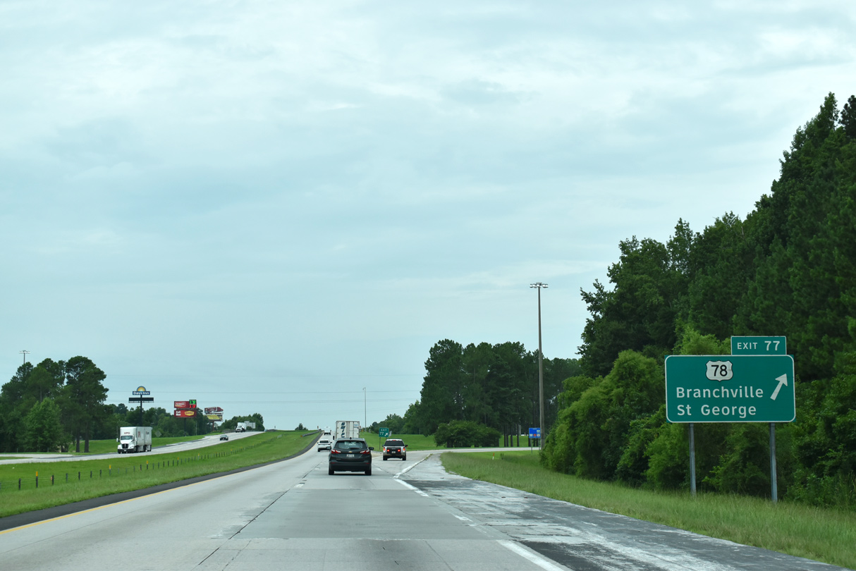
| Advancing toward the town of St. George, Exit 77 represents the fifth out of six interchanges in a row along Interstate 95 south connecting with a US highway. 08/28/21 |
|
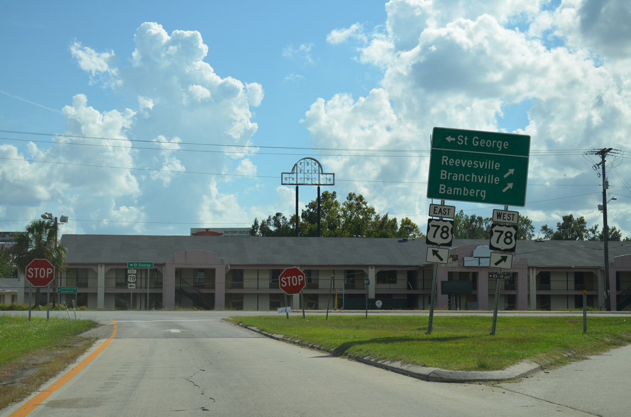
| West from Exit 77, U.S. 78 passes through the nearby town of Reevesville en route to Branchville in 12 miles and Bamberg in 26.6 miles. 08/28/21 |
|
| Originating in Charleston, U.S. 78 ventures northwest to Summerville and St. George. U.S. 78 exits the state after 142 miles from North Augusta. 08/28/21 |
|
| A folded diamond interchange joins I-95 with U.S. 78 (W Jim Bilton Boulevard) adjacent to a Norfolk Southern Railroad line within the Saint George town limits. 10/13/14 |
Page Updated 11-17-2021.

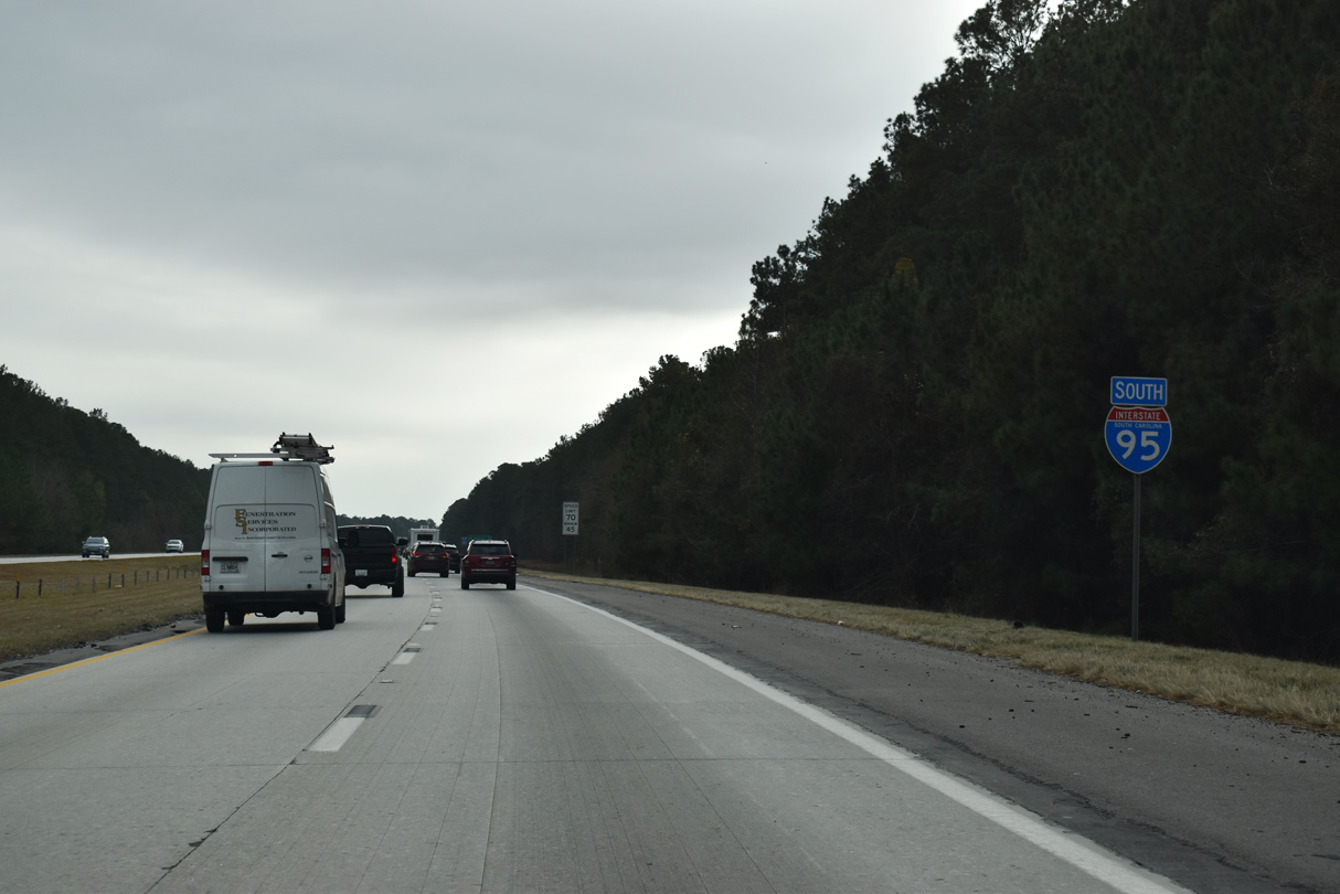
 South
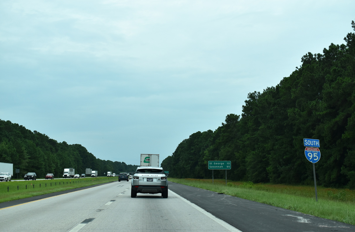
South


 South
South