|
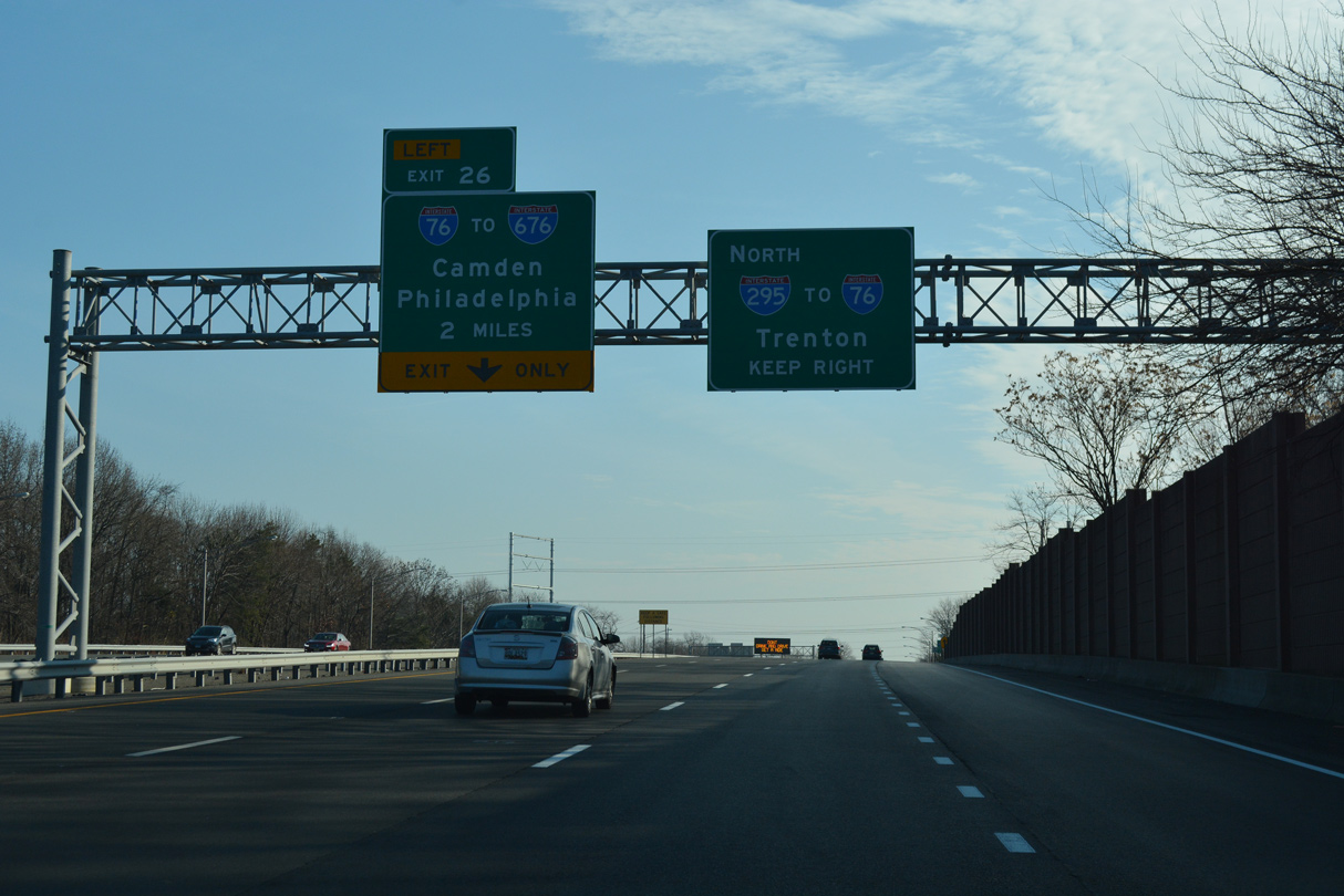
| Interstate 295 passes through Westville ahead of Bellmawr and Left Exit 26 for I-76 west. 12/27/18 |
|
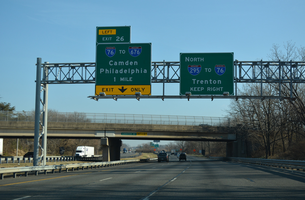
| I-295 converges with Route 42 (North South Freeway) and Interstate 76 west one mile beyond the Almonesson Road (CR 621) overpass. Previously a wye interchange took I-295 north onto the Local lanes of I-76 west with a left side ramp joining the Express lanes of I-76 west to I-676. 12/27/18 |
|
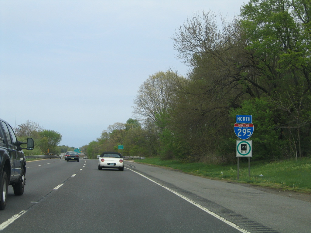
| Entrance ramps join I-295 northbound from Westville via Route 45 (Gateway Boulevard) and Route 47 (Delsea Drive) ahead of Timber Creek and the Camden County line. This reassurance marker was removed by 2012. 04/25/04 |
|
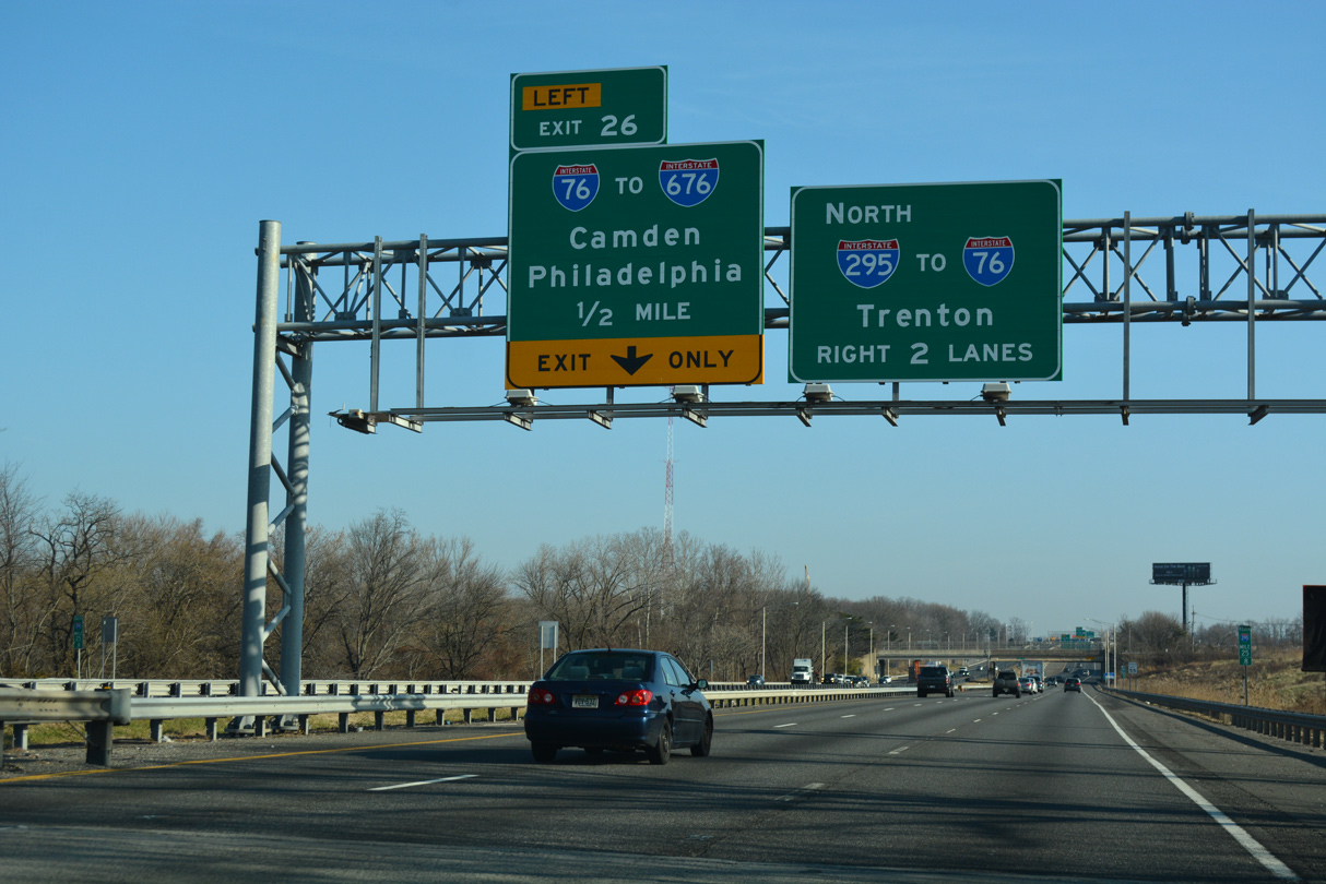
| Interstate 76 begins at the exchange with I-295 from Route 42 (North South Freeway) northbound. I-76 connects with I-676 north into Camden along a 3.08 mile course to the Walt Whitman Bridge across the Delaware River. 12/27/18 |
|
| The I-295/Route 42 Missing Moves project adds ramps linking I-295 north with Route 42 south and from Route 42 north with I-295 south. Costing $180 million, construction on the new set of ramps runs to late 2023.1 Route 42 (North South Freeway) leads south to the Atlantic City Expressway. 12/27/18 |
|
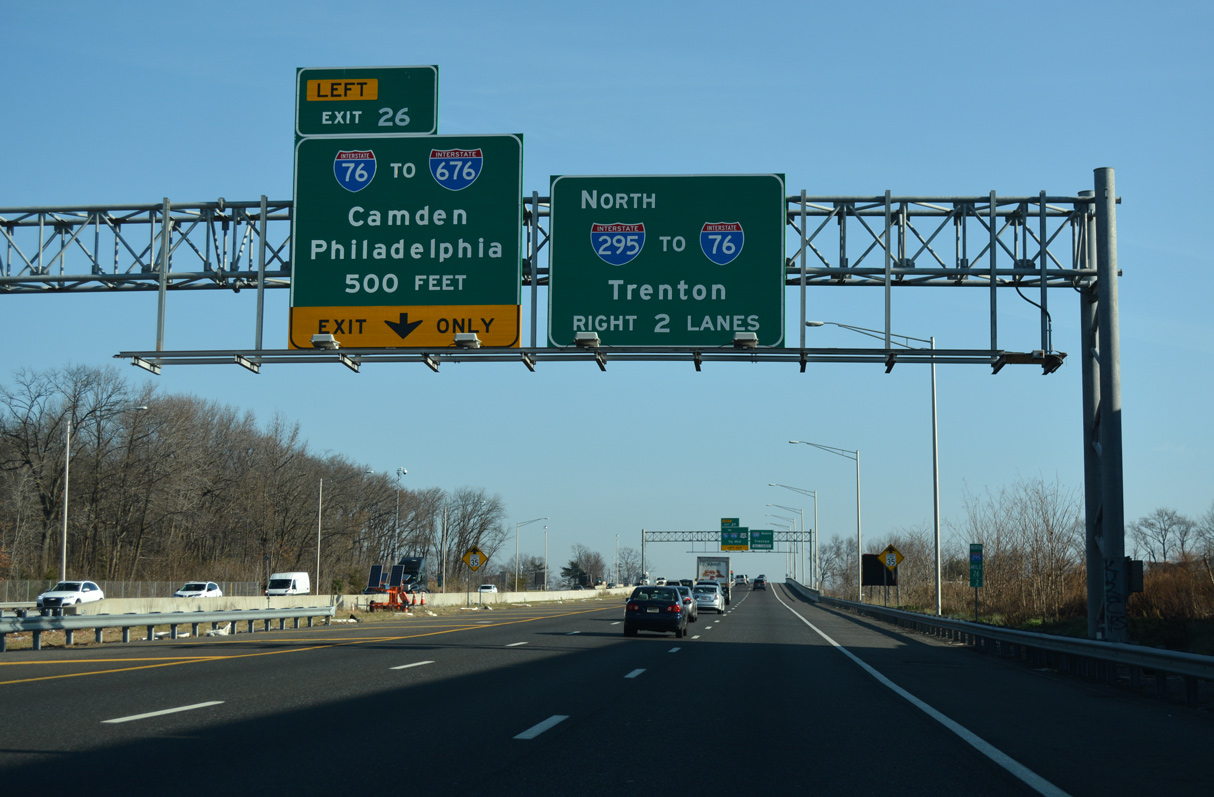
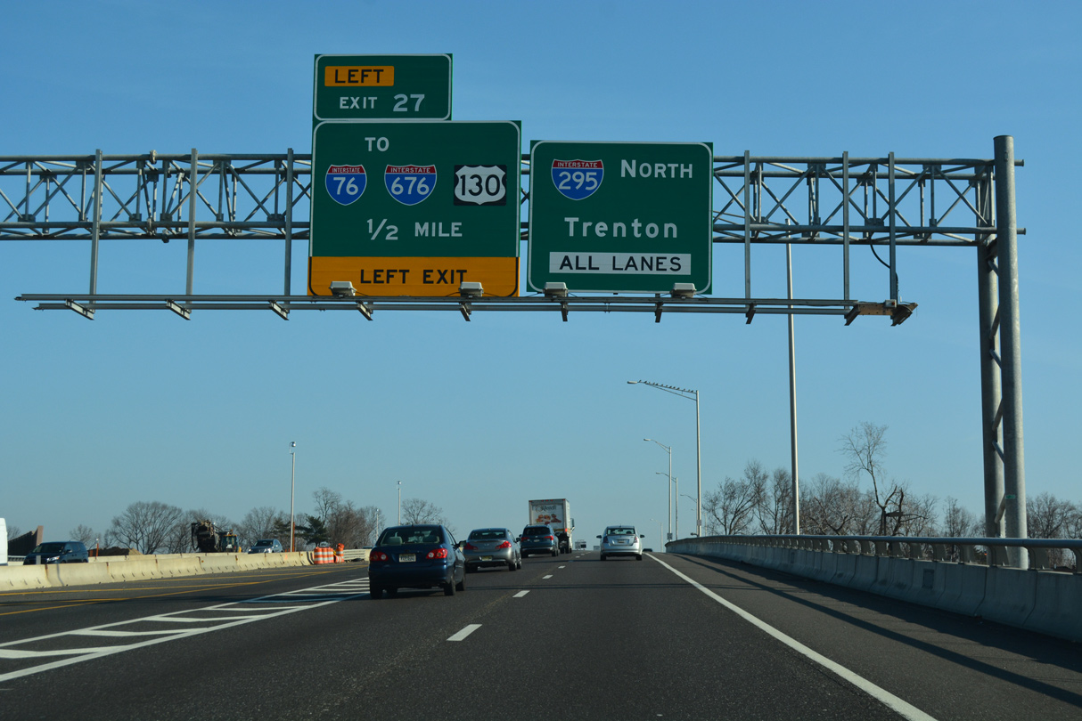
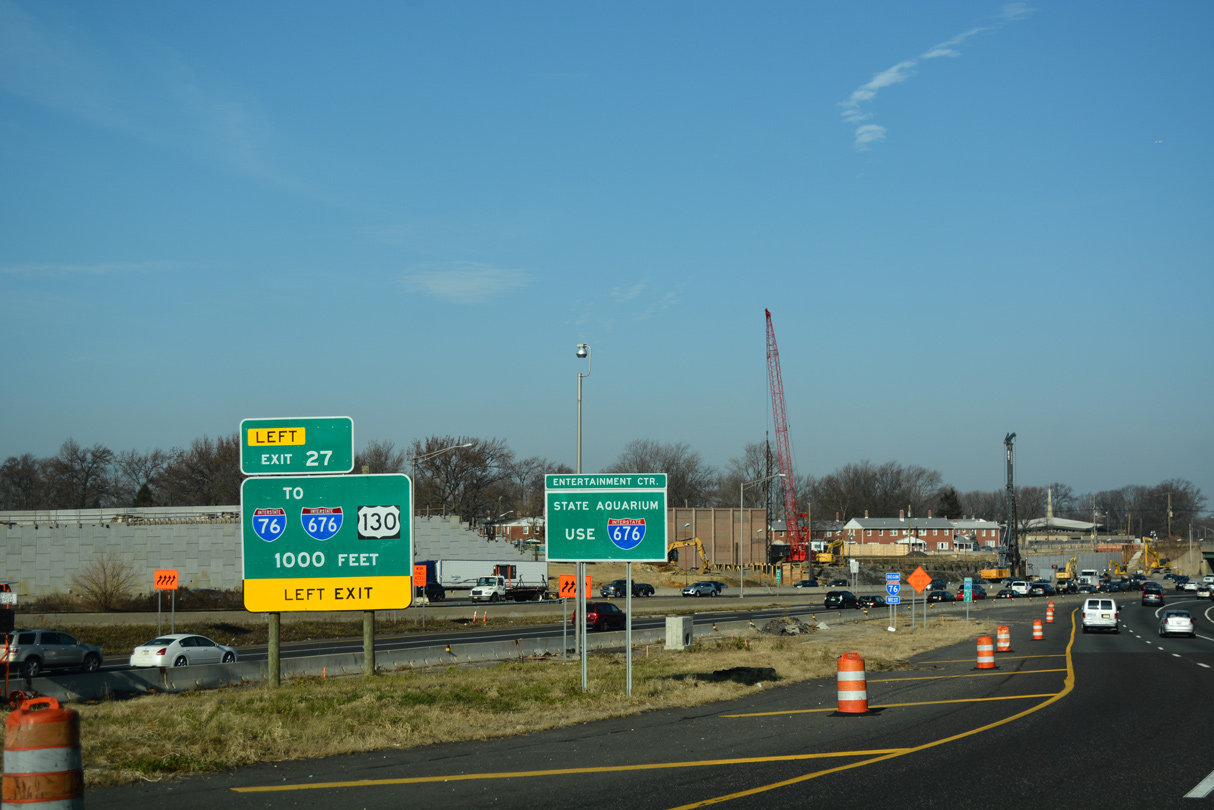
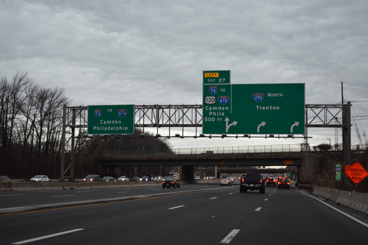
| The I-295 Direct Connect project started in 2013 eliminated the brief concurrency taking I-295 north onto what was the Local lanes of I-76 west. Left Exit 27 joins the outside lane of I-76 ahead of U.S. 130 (Crescent Boulevard) and I-676 north. 12/27/18 |
|
| Left Exit 27 joins I-76 westbound two miles ahead of the separation with Interstate 676 north to Camden and the Ben Franklin Bridge to Philadelphia, Pennsylvania. 12/27/18 |
|
| Prior to the I-295 Direct Connect project, a weaving traffic pattern ensued where I-295 north tied into the Local lanes of I-76 west extending north from the end of Route 42 (North South Freeway). 12/27/18 |
|
| Since removed, this sign bridge preceded the Browning Road overpass, which Contract 3 work of the I-295 Direct Connector project replaces. Left Exit 27 leads onto I-76 west for Gloucester City and Camden while the continuation of I-295 north runs to Cherry Hill and Trenton. 12/18/16 |
|
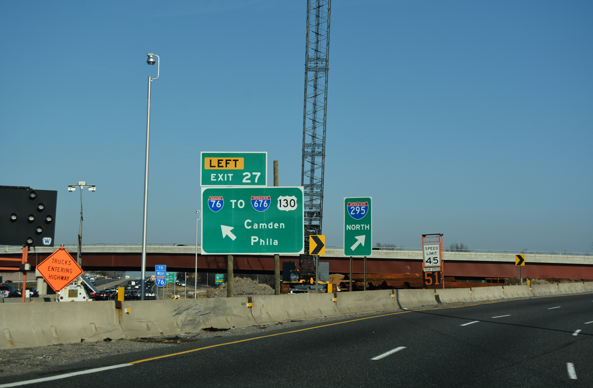
| Interstate 76 travels 353 miles west from Bellmawr in South Jersey to Philadelphia, Harrisburg and Pittsburgh in Pennsylvania and Youngstown, Akron and Seville in Ohio. 12/27/18 |
|
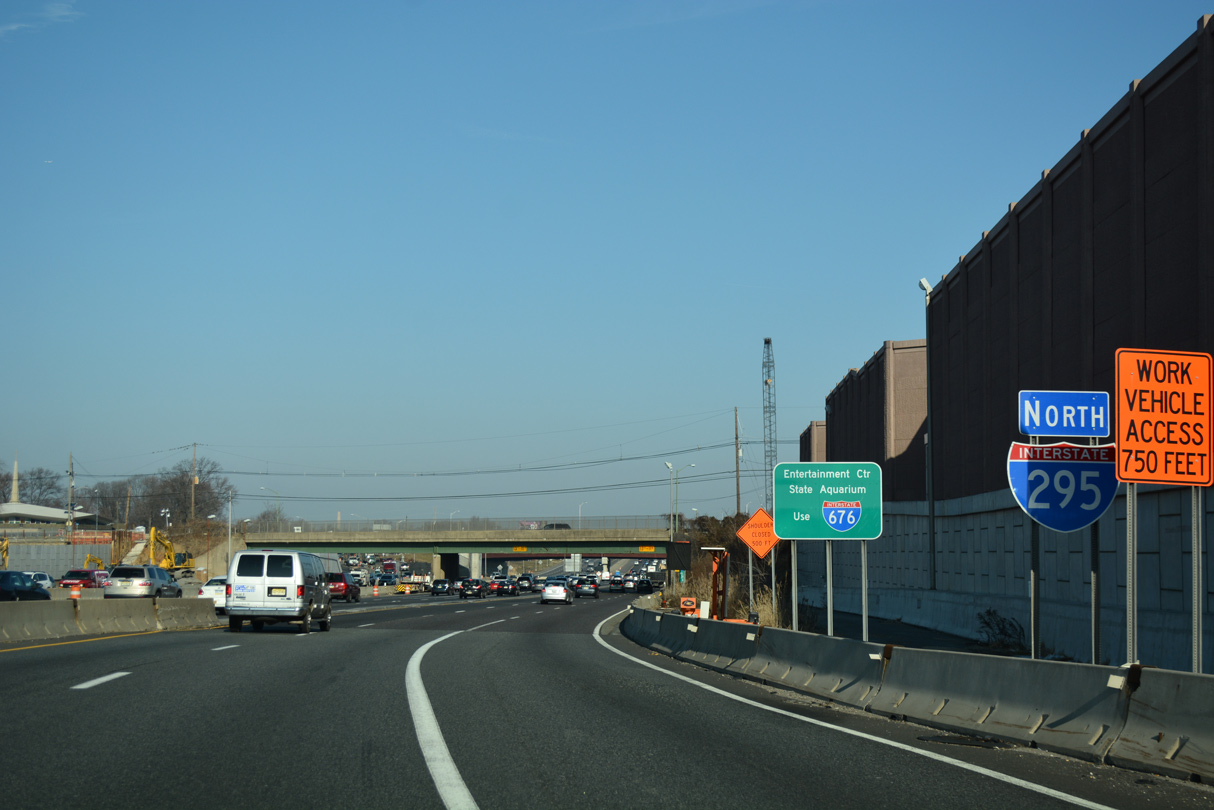
| Completed in July 2019, Contract 2 for the I-295 Direct Connector constructed a covered roadway supporting the future realigned mainline of Interstate 295 north leading away from I-76/Route 42. 12/27/18 |
|
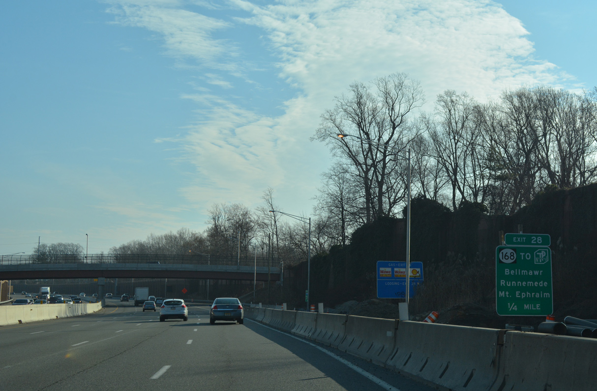
| Interstate 295 drops below grade east along the Bellmawr and Mount Ephraim borough line to Exit 28 for Route 168 (Black Horse Pike). 12/27/18 |
|
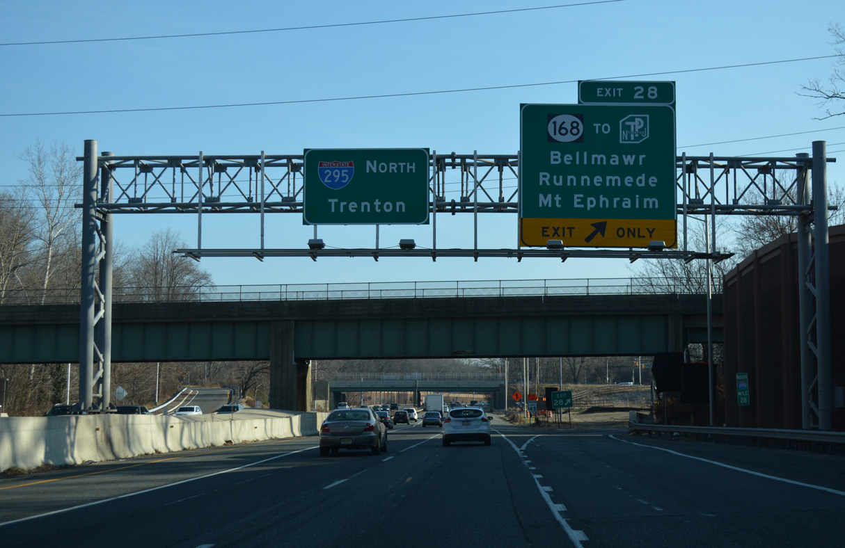
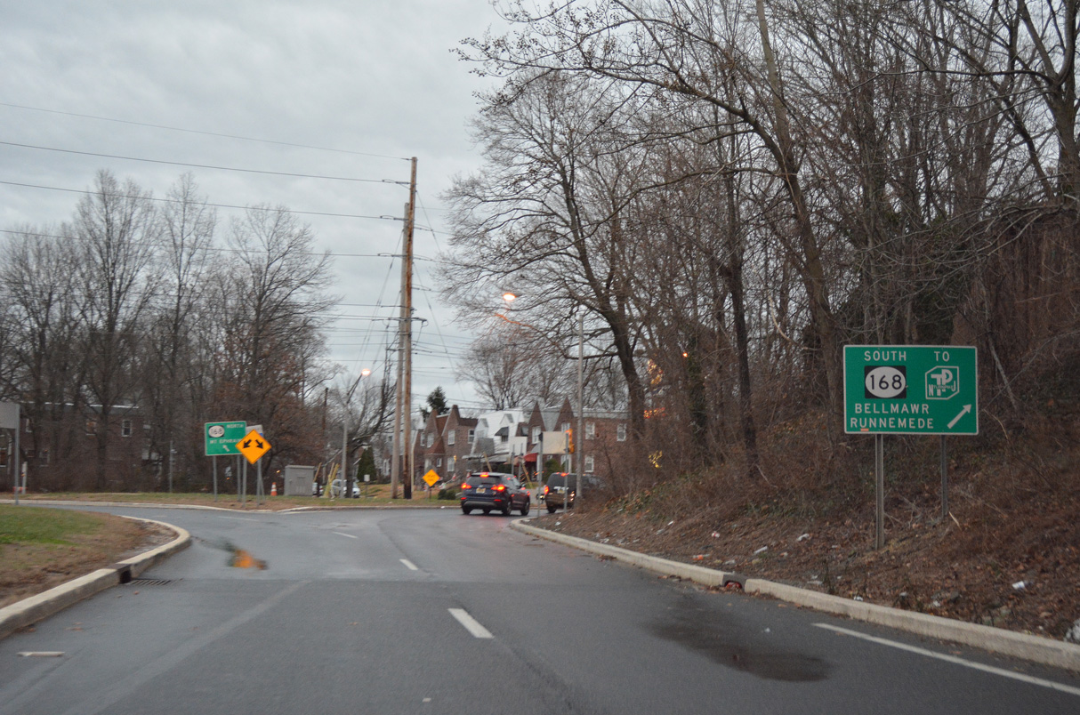
| I-295 advances a quarter mile from the Bell Road (CR 658) overpass to the six-ramp parclo interchange (Exit 28) with Route 168 (Black Horse Pike). Route 168 provides the lone connection to the New Jersey Turnpike from the Camden area. 12/27/18 |
|
| Black Horse Pike comprises a major arterial joining Audubon Park, Mount Ephraim, Haddon Heights, Bellmawr and Runnemede. 12/27/18 |
|
| Route 168 (Black Horse Pike) travels 10.75 miles overall from CR 603 (Ferry Avenue) on the Camden city line south to Route 42 at Turnersville. 12/18/16 |
|
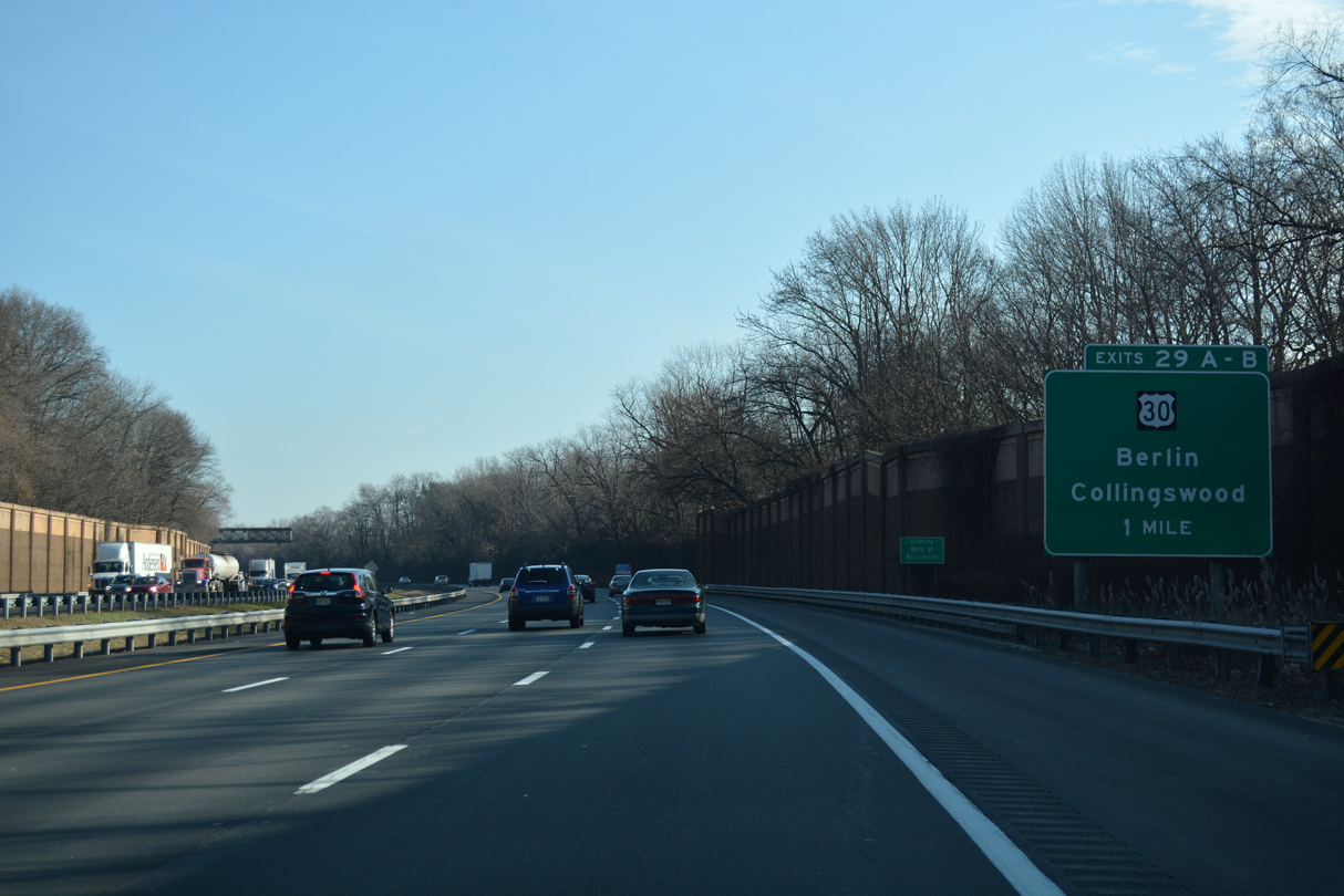
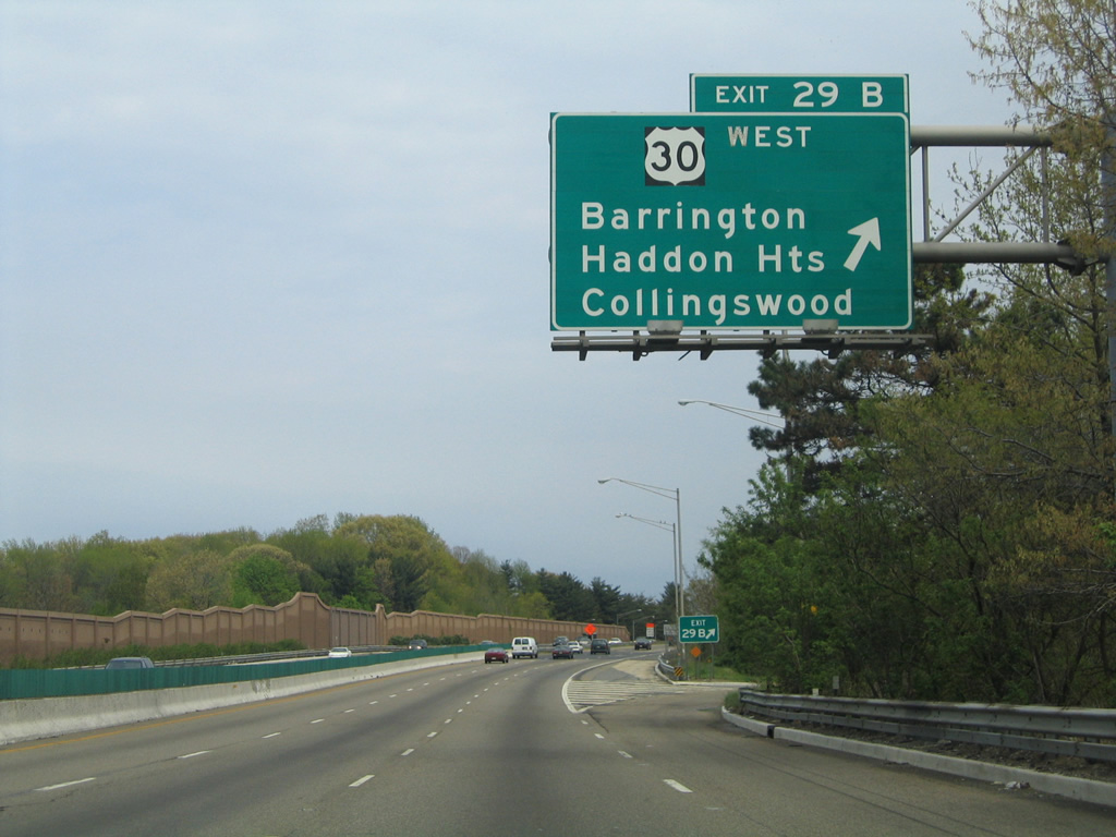
| Forthcoming Exits 29 A-B join Interstate 295 with U.S. 30 (White Horse Pike) at Barrington. 12/27/18 |
|
| U.S. 30 (White Horse Pike) comprises a heavily traveled arterial southward from Camden to Lawnside, Stratford, Lindenwold and Berlin. U.S. 30 continues from there to Hammonton, Egg Harbor City, Pomona and Atlantic City. 12/27/18 |
|
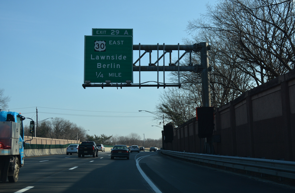
| Exit 29 A leaves I-295 north above Route 41 (Clements Bridge Road) and ahead of the U.S. 30 intersection with Copley Road (CR 666). Copley Road provides return access to I-295 via a half diamond interchange. 12/27/18 |
|
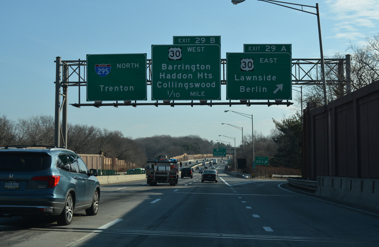
| Exit 29 B loops onto U.S. 30 (White Horse Pike) west ahead of Route 41 in Haddon Heights. U.S. 30 continues north through Audubon and Oaklyn before converging with U.S. 130 in Collingswood. 04/25/04 |
|
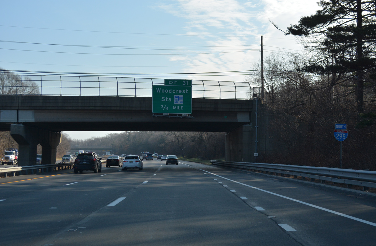
| An entrance ramp joins Warwick Road (CR 669) with Interstate 295 northbound in the borough of Lawnside, 0.75 miles ahead of Exit 31. 12/27/18 |
|
| A trumpet interchange connects Interstate 295 with Essex Road south to CR 667 (Melrose Avenue) and Tindale Road. 12/27/18 |
|
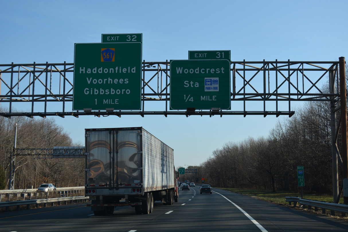
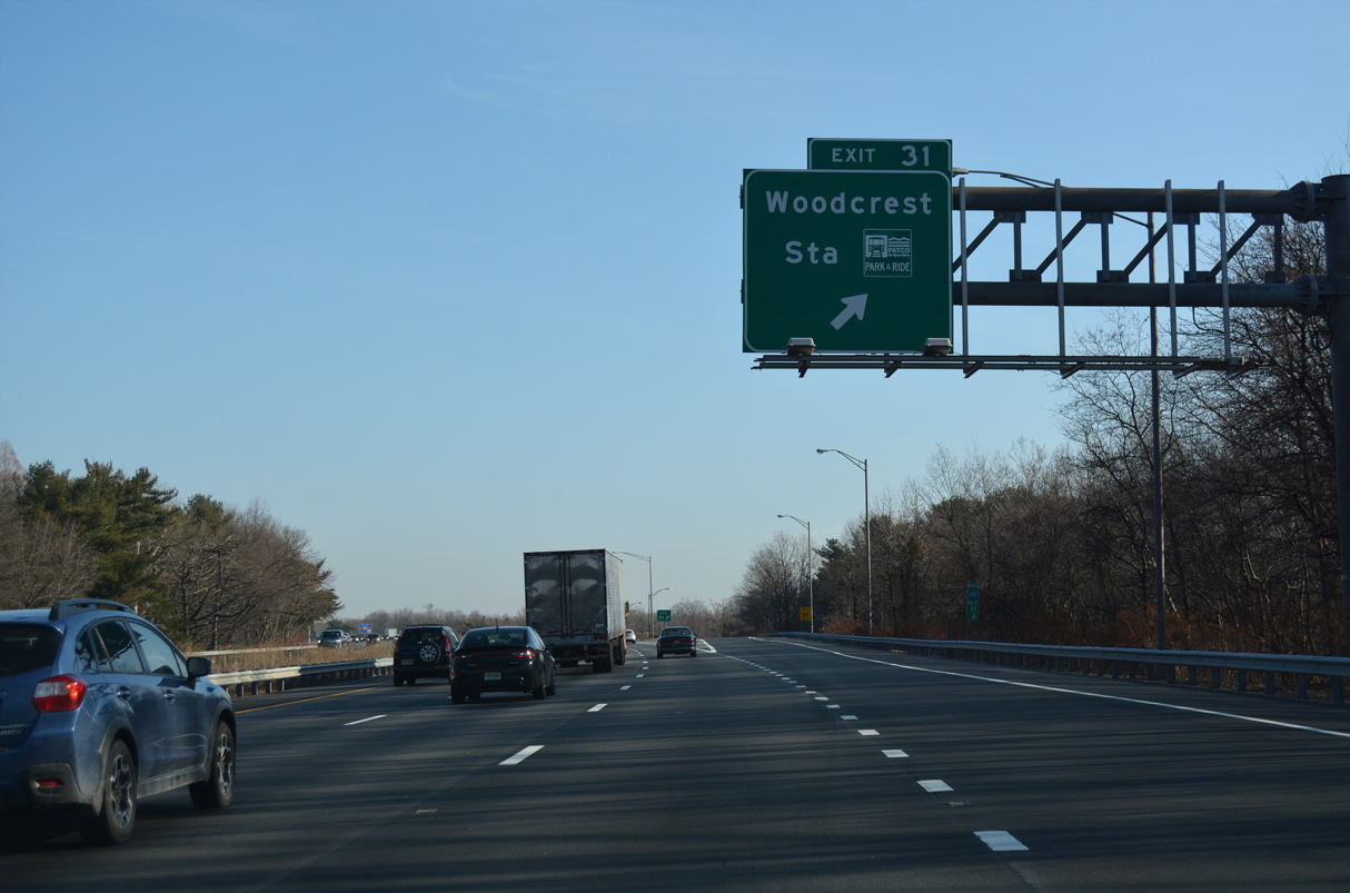
| Exit 31 departs I-295 north for Woodcrest Station along the PATCO light rail line joining Camden and Philadelphia. 12/27/18 |
|
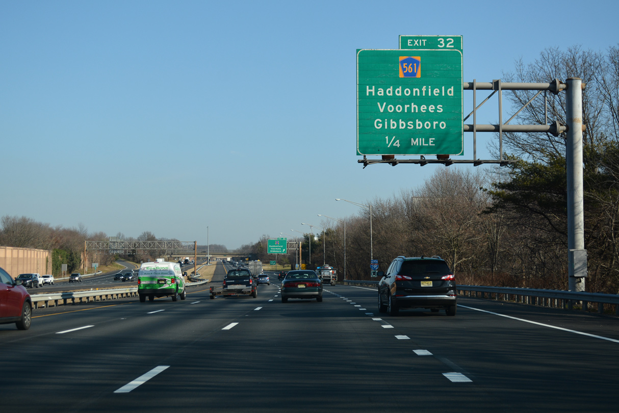
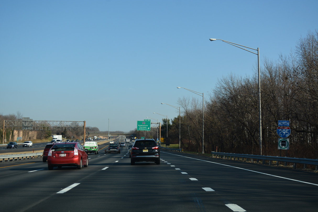
| The ensuing exit along northbound Interstate 295 is a six-ramp parclo interchange with Camden County Route 561 (Berlin Road). 12/27/18 |
|
| Interstate 295 enters Cherry Hill Township ahead of Exit 32. 12/27/18 |
|
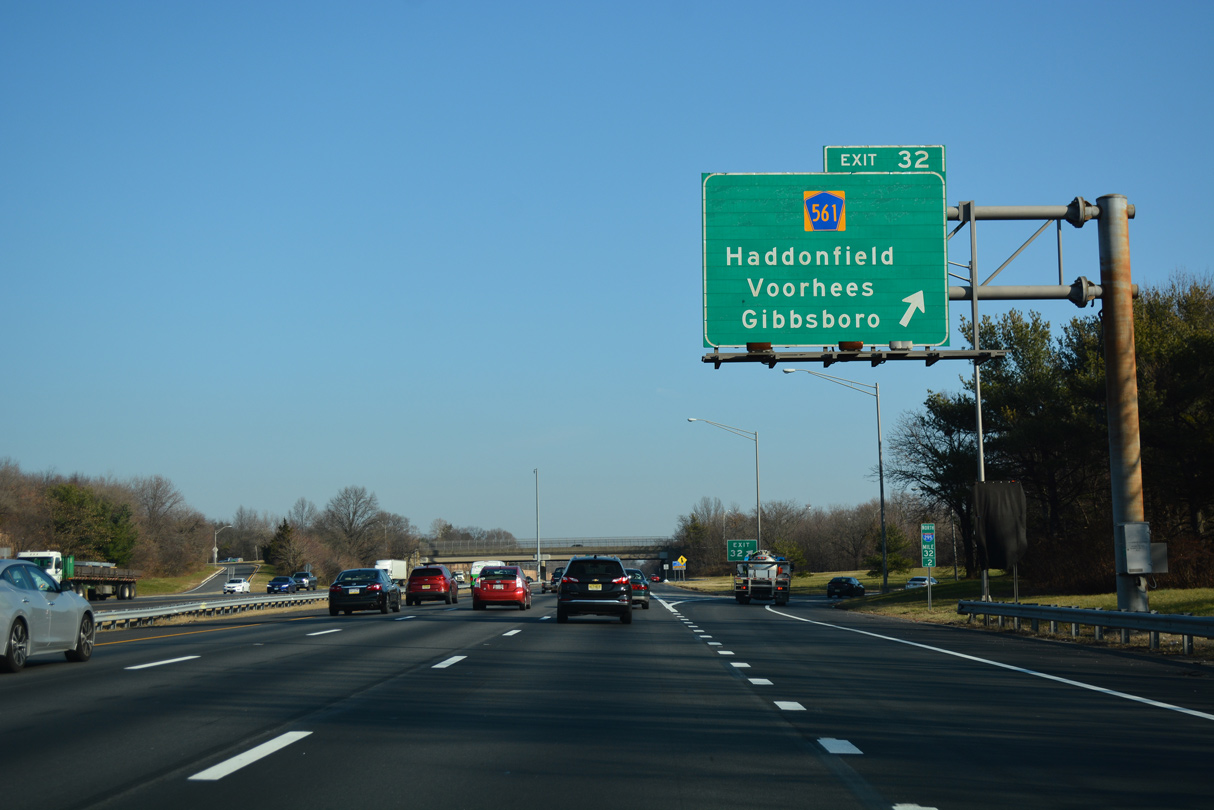
| CR 561 runs 14.62 miles southeast from Downtown Camden to Collingswood, Haddonfield, Voorhees Township, Gibbsboro and U.S. 30 in Berlin. 12/27/18 |
|
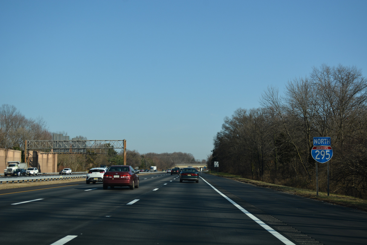
| The New Jersey Turnpike parallels I-295 closely to the east through Cherry Hill Township. 12/27/18 |
|
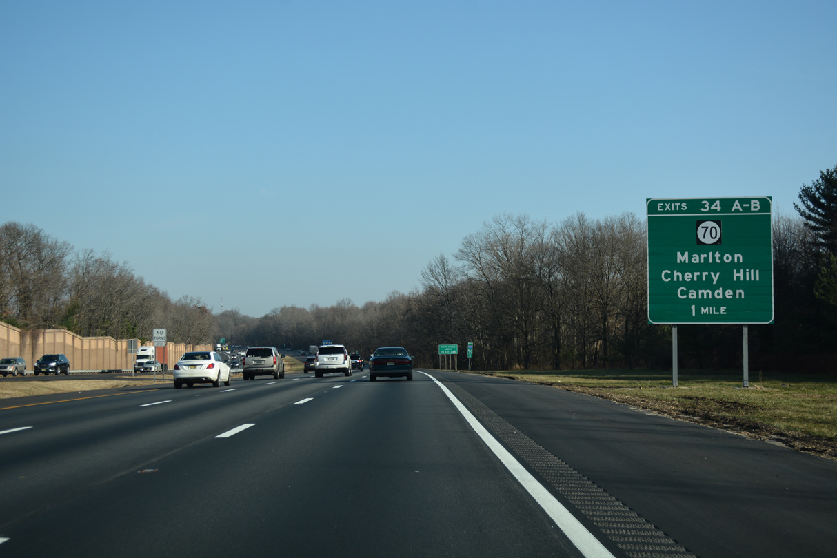
| A cloverleaf interchange (Exits 34 A/B) joins Interstate 295 with Route 70 (Marlton Pike) in one mile. 12/27/18 |
|
| Marlton Pike leads Route 70 eastward from Route 38 (Kaighn Avenue) in Pennsauken Township through Cherry Hill to I-295. The bulk of the five mile stretch between Kaighn Avenue and Exit 34 is a commercial arterial. 12/27/18 |
|
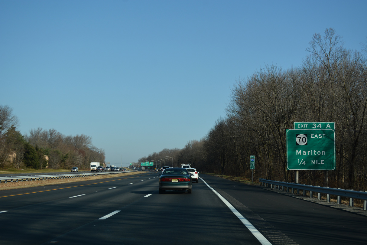
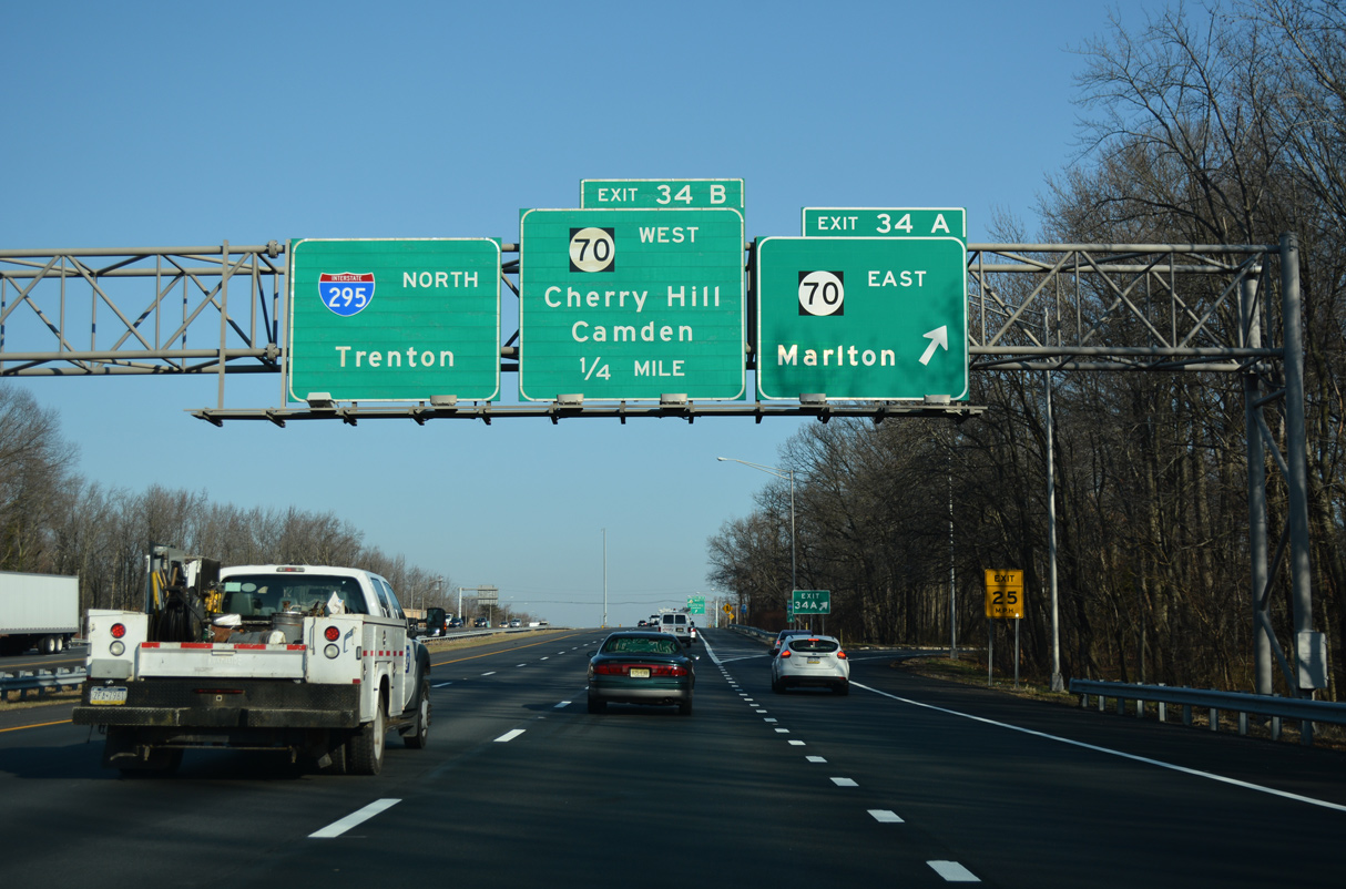
| Exit 34 A leaves Interstate 295 north for Route 70 (Marlton Pike) east. Marlton Pike intersects Route 73 at Marlton in three miles. The state route travels 59.84 miles overall, extending east to Route 35 in Wall Township. 12/27/18 |
|
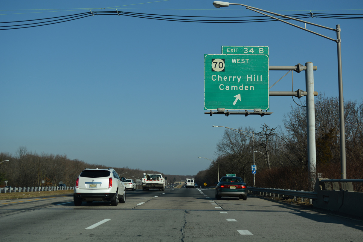
| Exit 34 B loops onto Route 70 west to Ellisburg and Camden. Marlton Pike meets Route 41 (Kings Highway) and Route 154 (Brace Road) at Ellisburg in 1.3 miles. The crossroads was the location of Ellisburg Circle until 1992. 12/27/18 |
|
| Interstate 295 continues north into Fellowship Township across the South Branch of Pennsauken Creek. 12/27/18 |
|
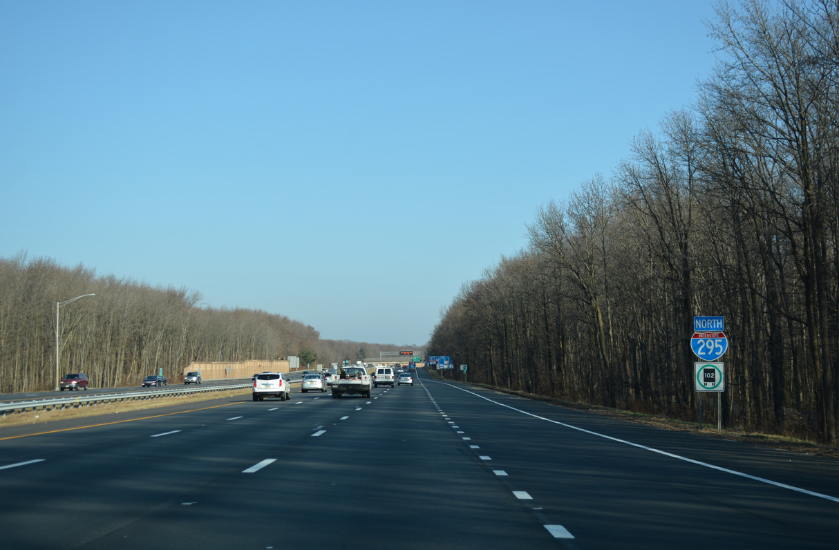
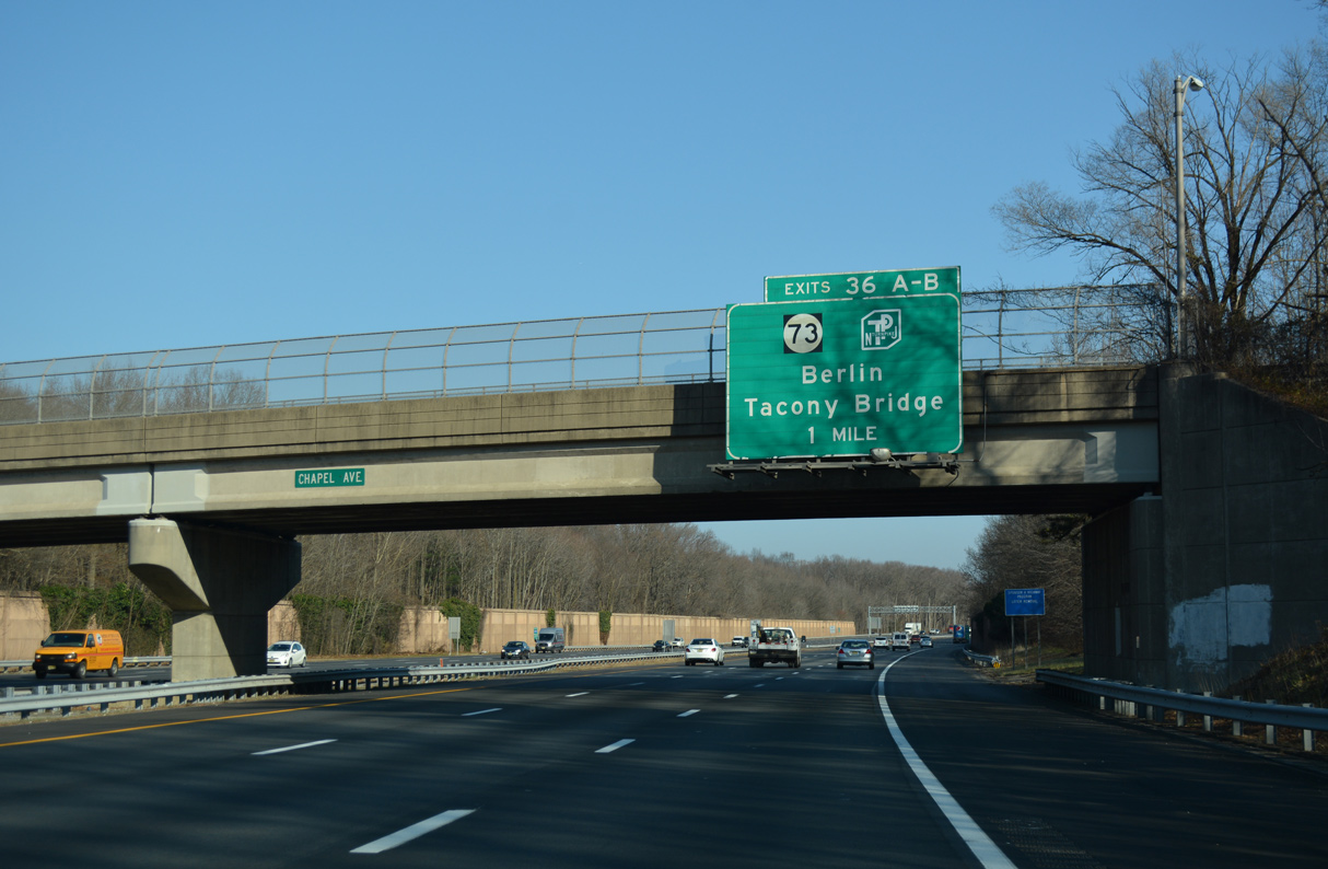
| A cloverleaf interchange (Exits 36 A/B) joins I-295 with Route 73 one mile beyond the Chapel Avenue overpass. Route 73 provides a connection to the parallel NJ Turnpike via Exit 3. The next Turnpike access point from I-295 north lies in Burlington County at Exit 47 via CR 541. 12/27/18 |
|
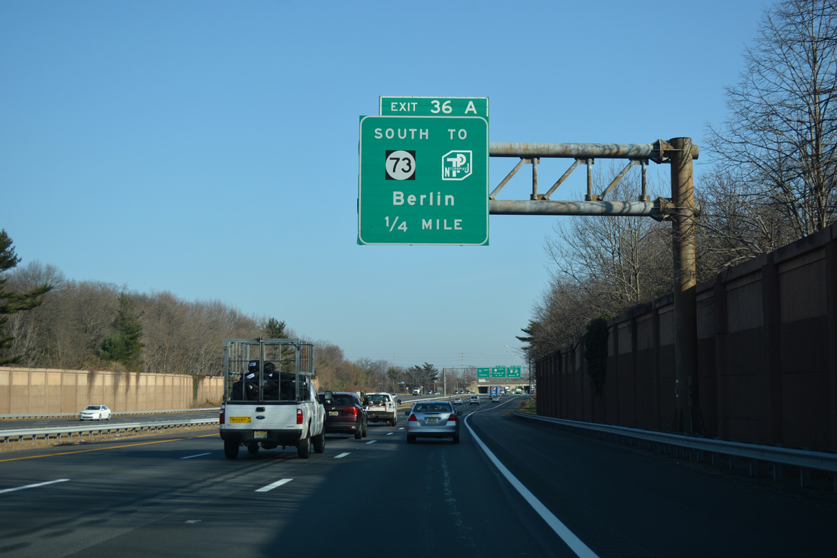
| Interstate 295 north at Exit 36 A for Route 73 south to the NJ Turnpike and Berlin. Route 73 runs south one half mile from Exit 36 to meet the New Jersey Turnpike and four miles to Route 70 at Marlton. The state route concludes a 34.64 mile long course at U.S. 322 in Folsom. 12/27/18 |
|
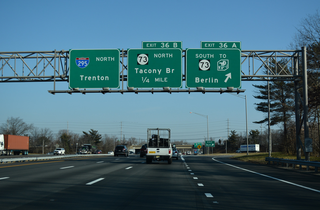
| Route 73 is part of a multi-state route with PA 73, crossing the Delaware River over the tolled Tacony-Palmyra Bridge into Philadelphia. The 6.5 mile long route north into the borough of Palmyra along Route 73 also connects with Route 90 west to the Betsy Ross Bridge (Route 90). A loop ramp (Exit 36 B) follows onto Route 73 north to Moorestown Mall, Maple Shade township and Palmyra. 12/27/18 |
|
| RIRO ramps (Exit 36 B) link I-295 south with Moorestown Mall while the freeway northbound proceeds below Fellowship Road (CR 673) by East Gate Corporate Park. 12/27/18 |
|
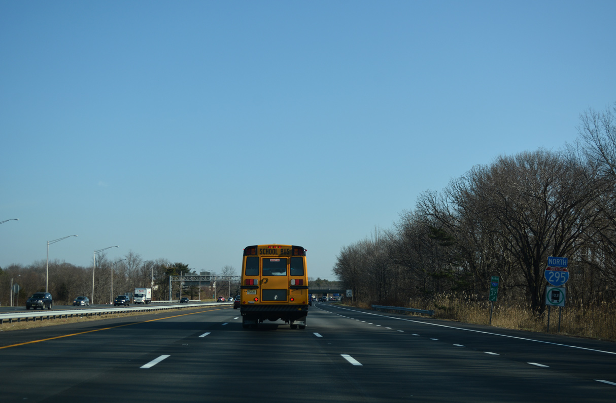
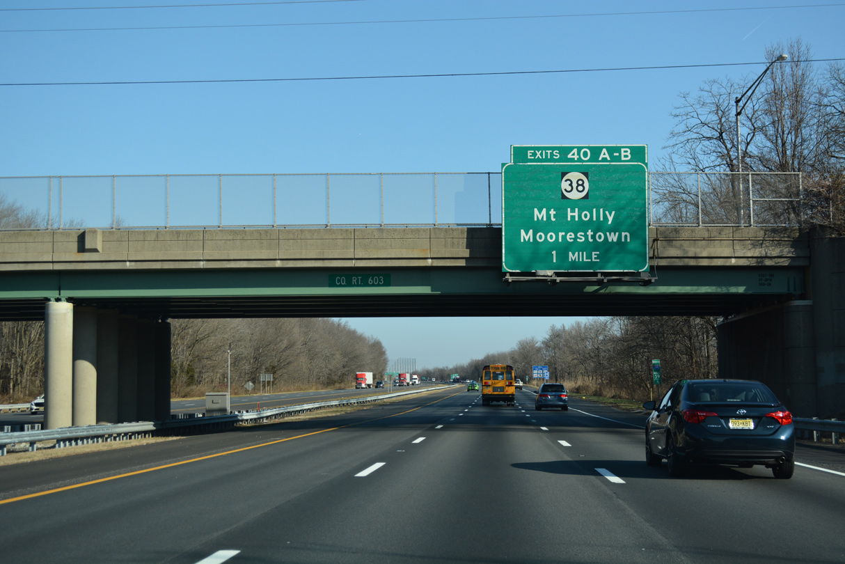
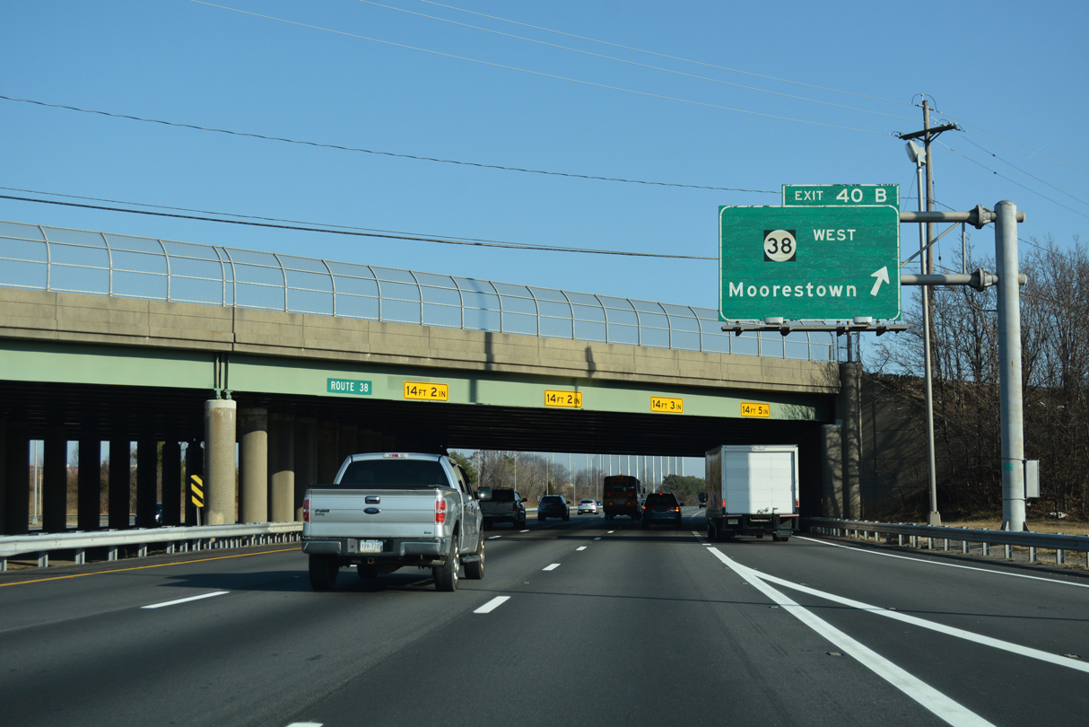
| CR 603 (Mt. Laurel Road) spans I-295 one mile south of Exit 40 to Route 38. Route 38 parallels I-295 east from Route 73 through Moorestown Township along a busy arterial. 12/27/18 |
|
| Route 38 extends east from I-295 through Mount Laurel and Hainesport Townships to Mount Holly. 12/27/18 |
|
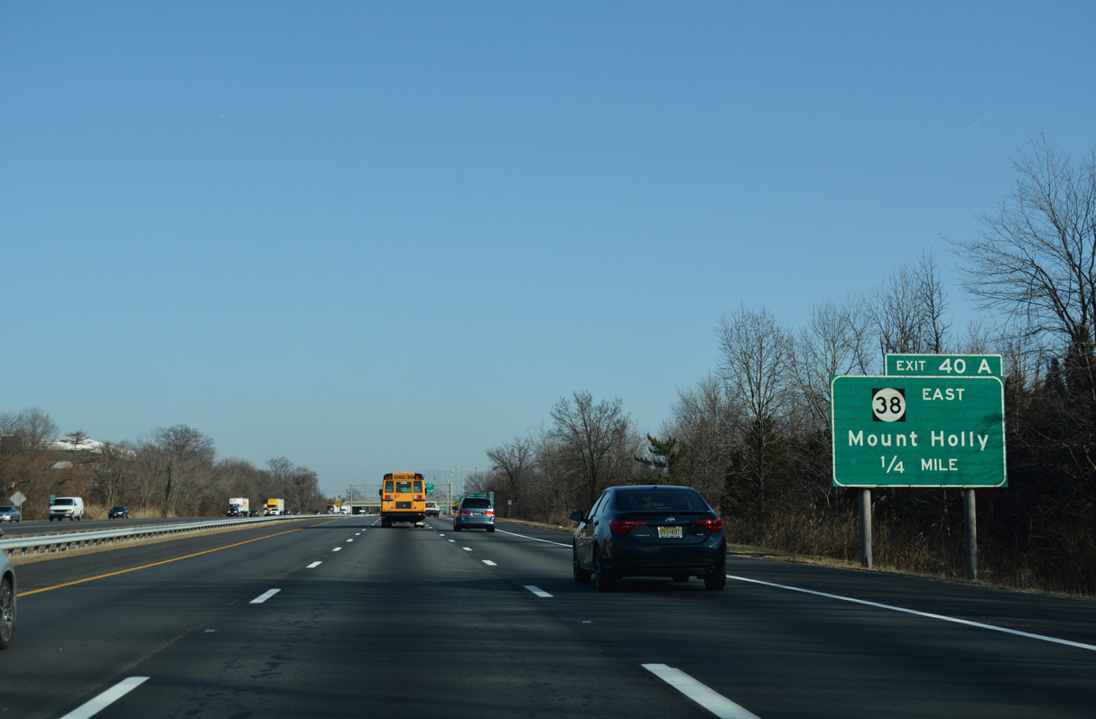
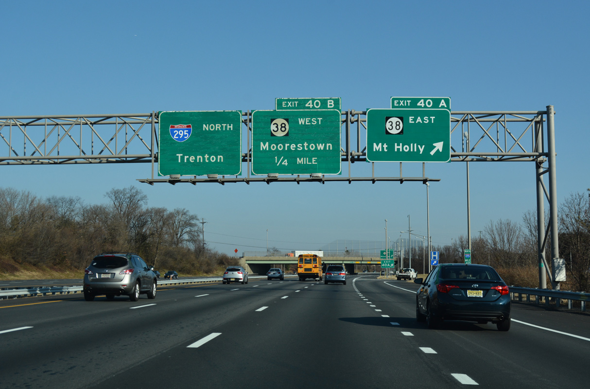
| Mount Holly is seven miles to the east from Exit 40 A via Route 38. Route 38 travels 19.19 miles overall to U.S. 206 in Southampton Township. 12/27/18 |
|
| Exit 40 B loops onto Route 38 west through Moorestown, Maple Shade and U.S. 30/130 at Pennsauken. 12/27/18 |
|
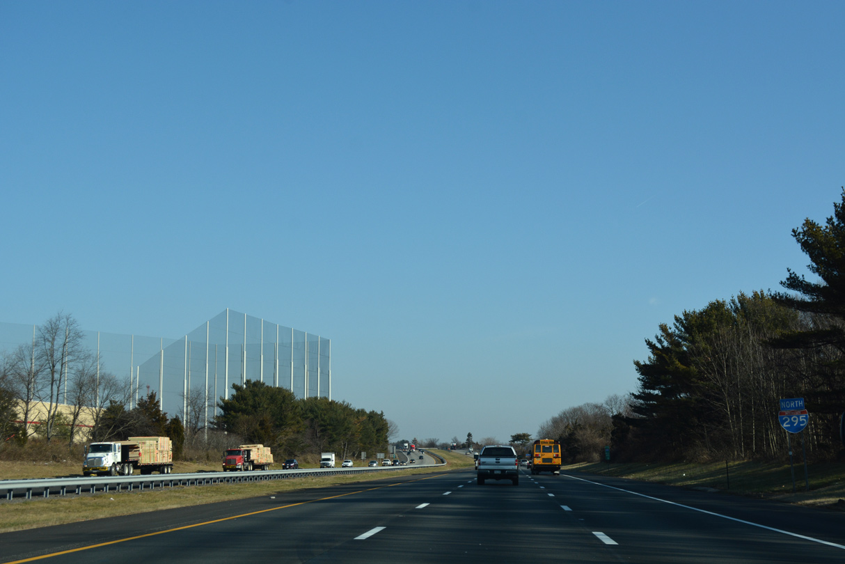
| Sound barriers are no longer present along Interstate 295 as the freeway proceeds past the Burlington County Agricultural Centre beyond CR 537 (Marne Highway) in Mount Laurel Township. 12/27/18 |
|
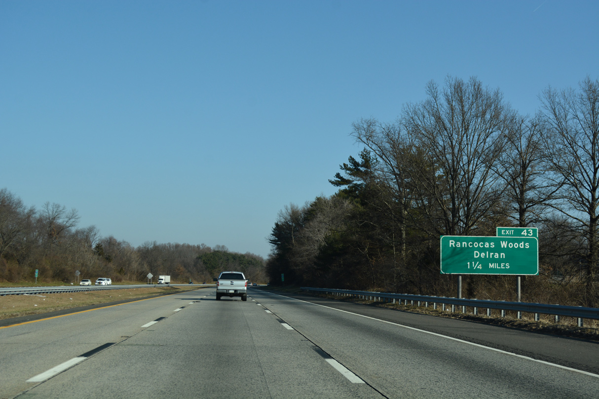
| 1.25 miles southwest of Exit 43 for Creek Road (CR 635) on Interstate 295 north. 12/27/18 |
|
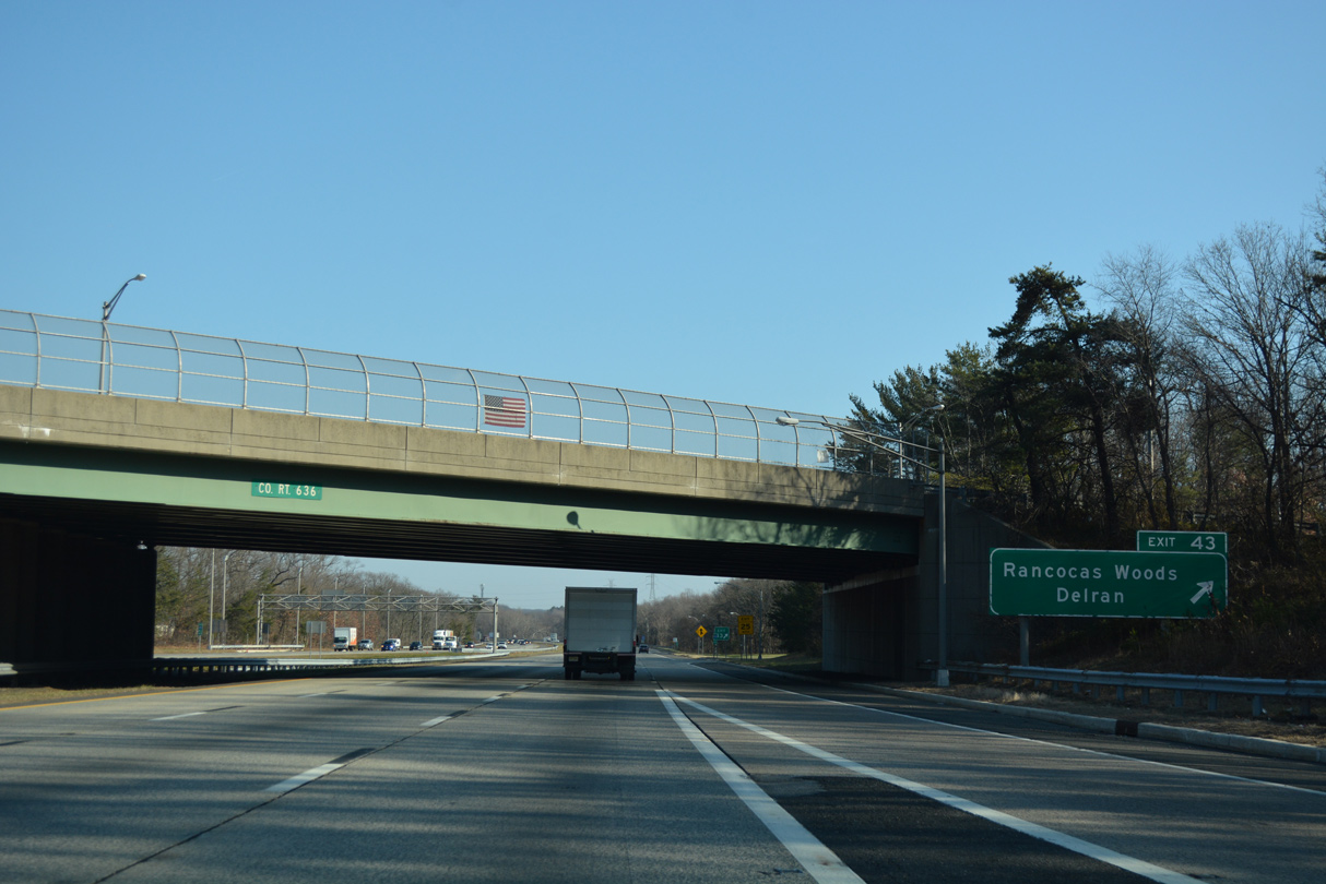
| Creek Road (CR 635) links Interstate 295 with Rancocas Woods to the south and Delran Township four miles to the north. Creek Road derives its name from the parallel Rancocas Creek. 12/27/18 |
|
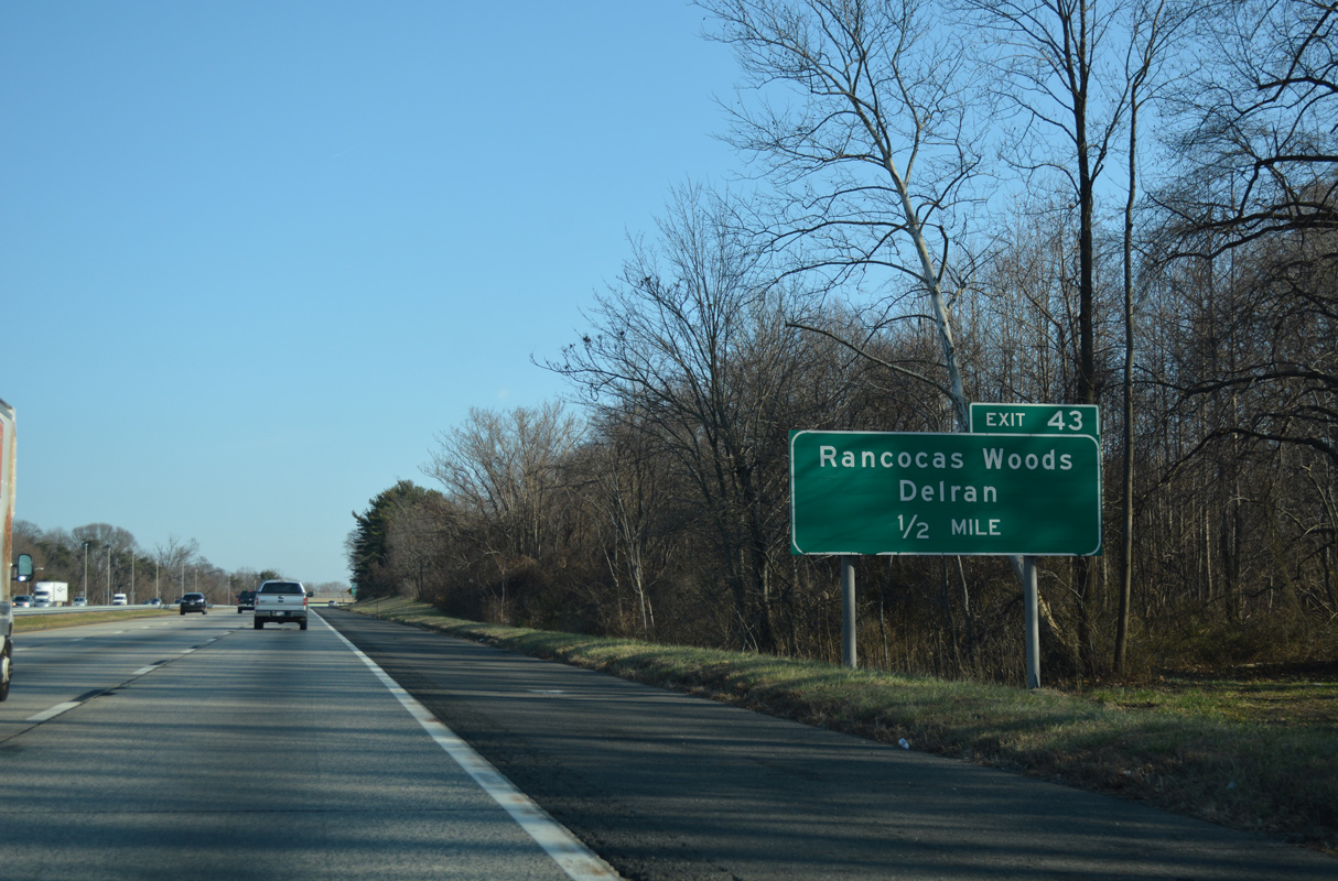
| Entering the three quarter cloverleaf interchange (Exit 43) with Creek Road on I-295 north. Creek Road (CR 636) connects U.S. 130 (Burlington Pike) at Bridgeboro with CR 541 (Main Street) in Lumberton Township. 12/27/18 |
|
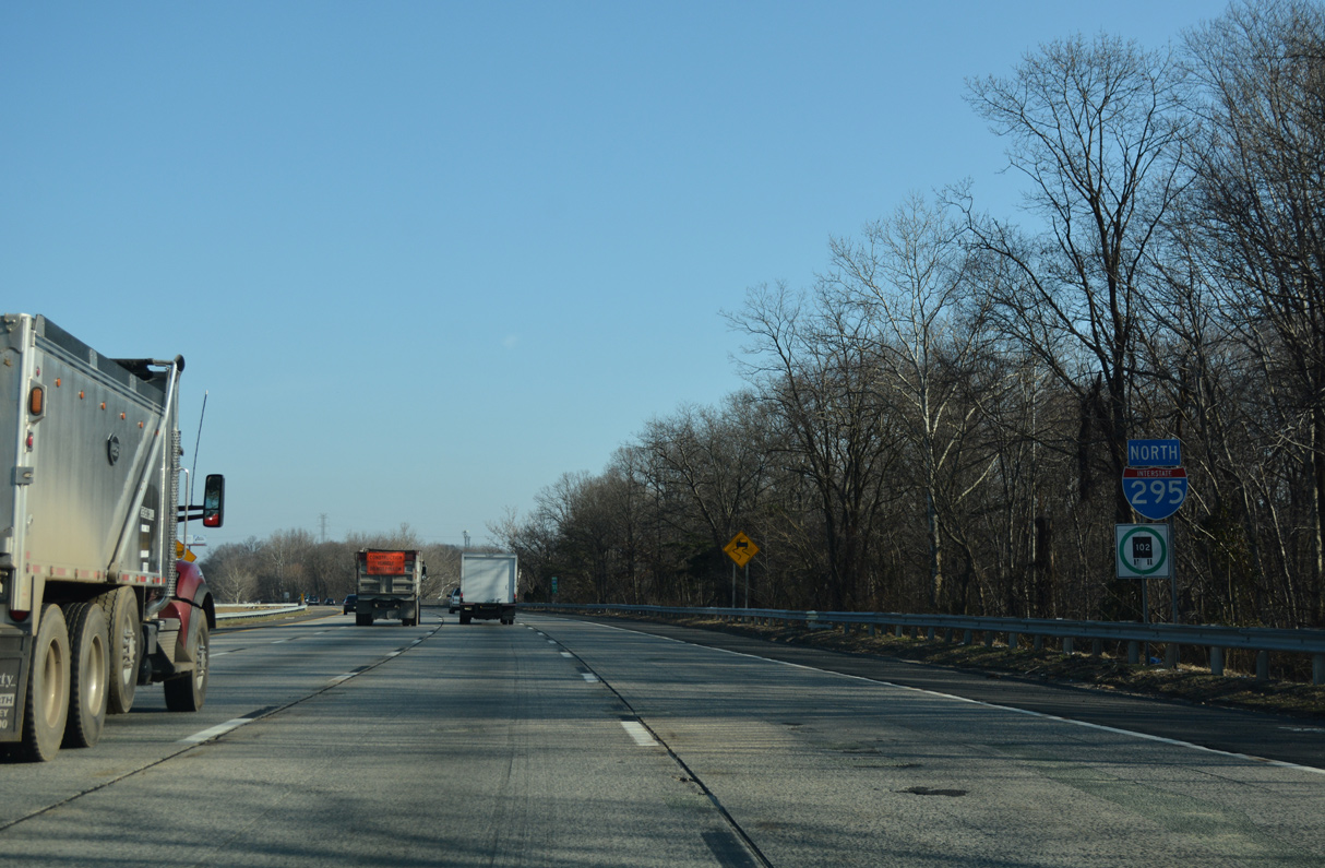
| Confirming marker posted north of Creek Road by the community of Centerton in Mount Laurel Township. 12/27/18 |
|
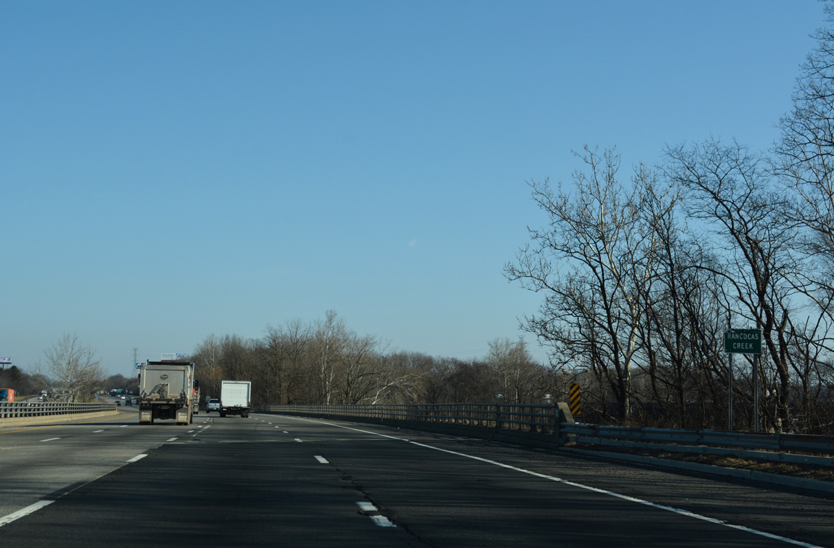
| Interstate 295 north crosses Rancocas Creek into Westampton Township. 12/27/18 |
|
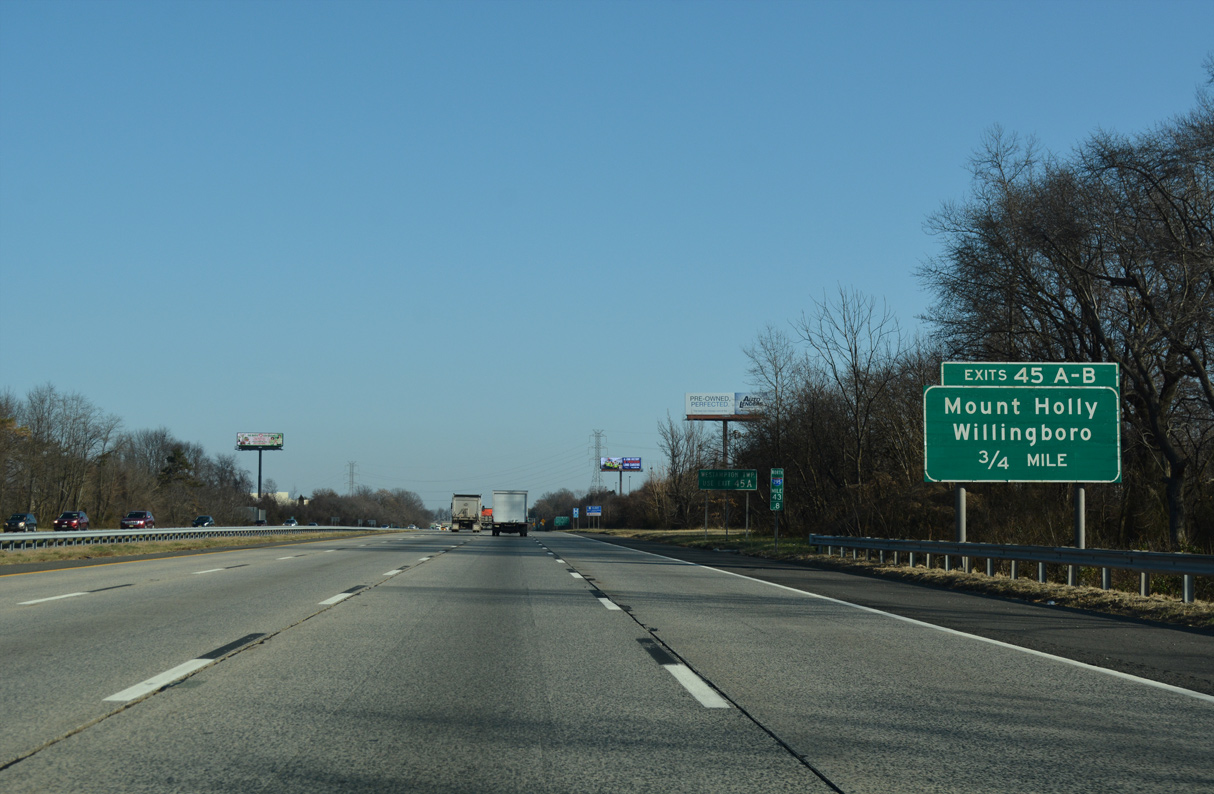
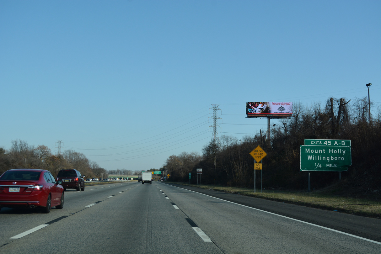
| A cloverleaf interchange (Exit 45) lies 0.75 miles ahead with CR 626 (Rancocas Road) west of Rancocas State Park and east of Rancocas. 12/27/18 |
|
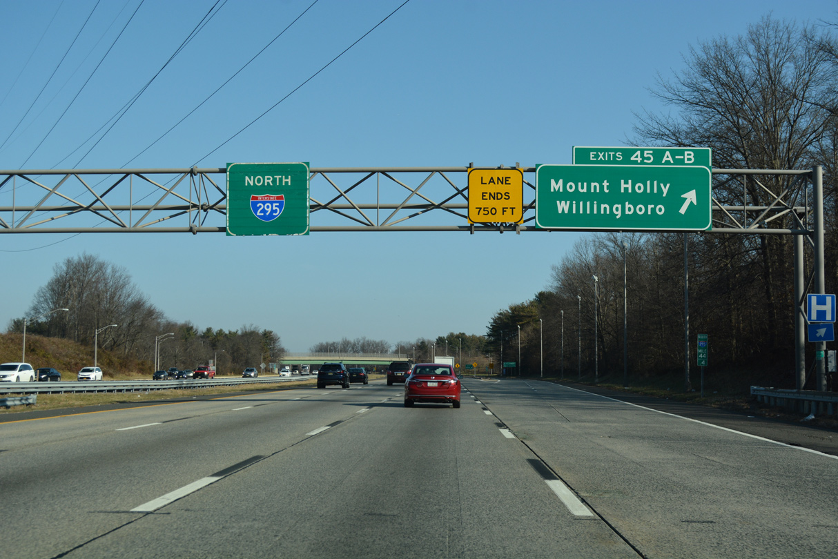
| A collector distributor roadway separates at Exit 45 for Rancocas Road (CR 626) east to Mount Holly and west to Willingboro Township. 12/27/18 |
|
| Exit 45 partitions from the I-295 mainline. CR 626 follows Rancocas Road east through Westhampton township to Mount Holly, seat of Burlington County. 12/27/18 |
|
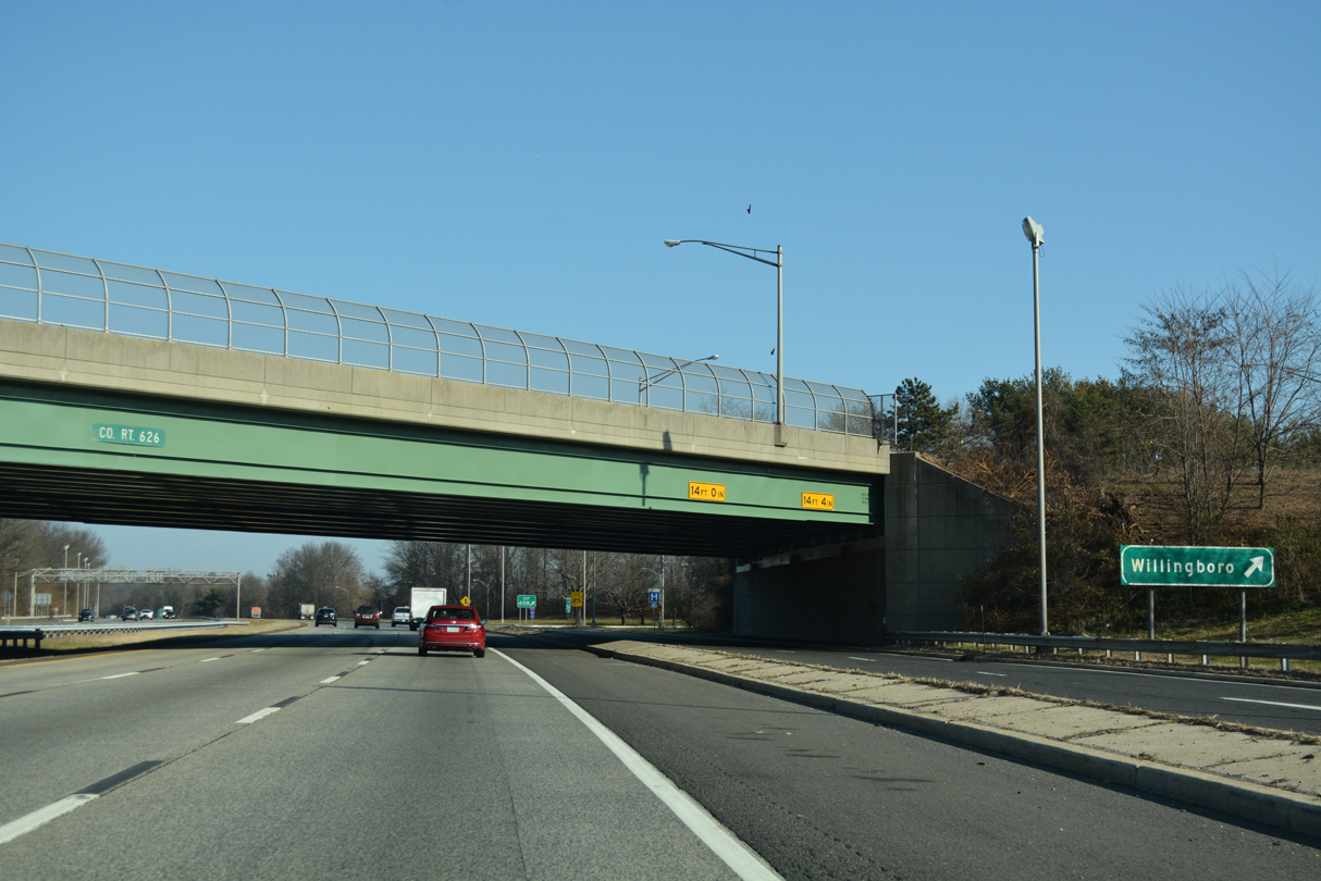
| Exit 45 B loops onto Rancocas Road west to Beverly Rancosa Road (CR 626), a multi-lane arterial weaving west through Willingboro to U.S. 130 at Edgewater Park Township. 12/27/18 |
|
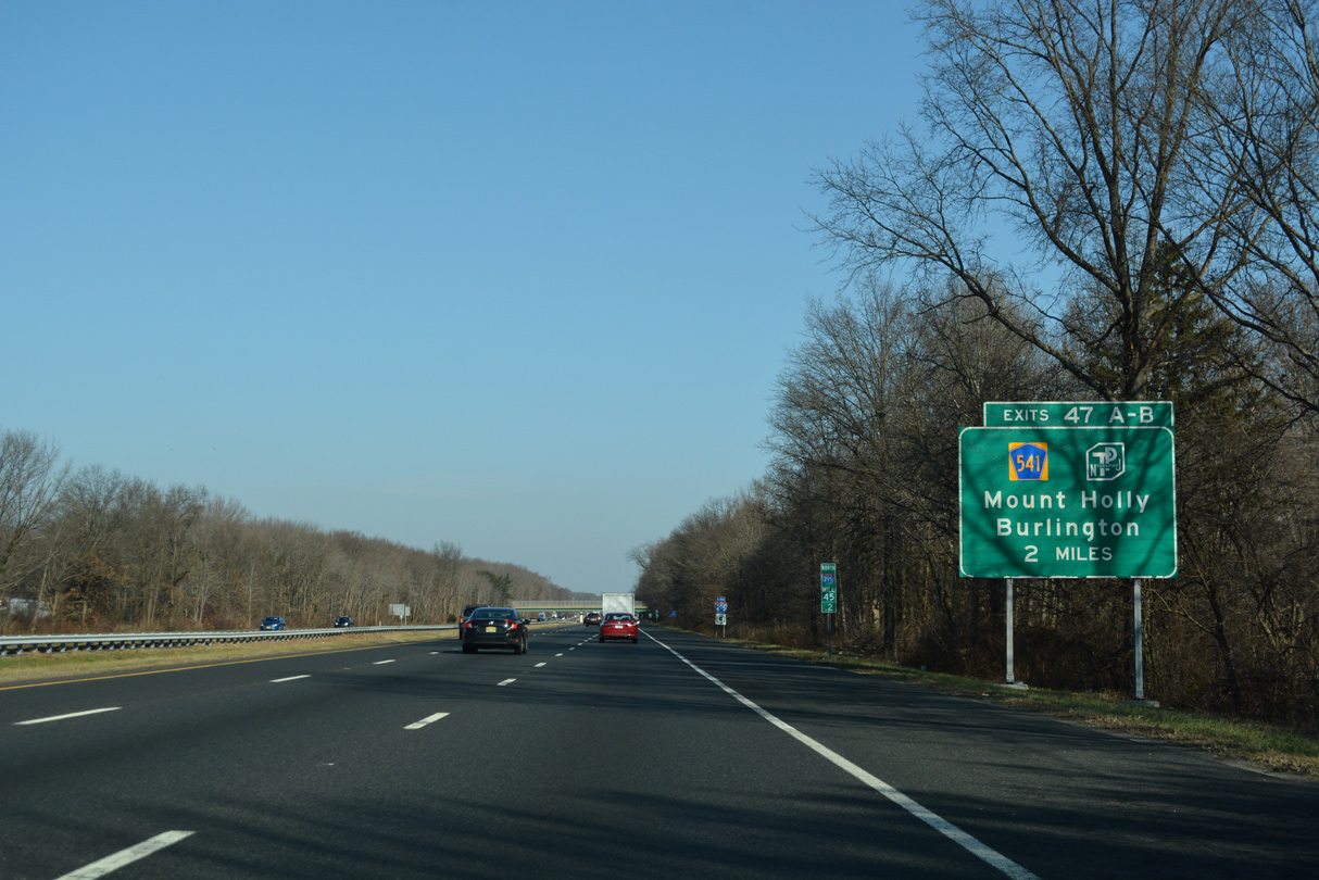
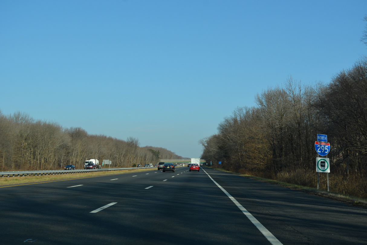
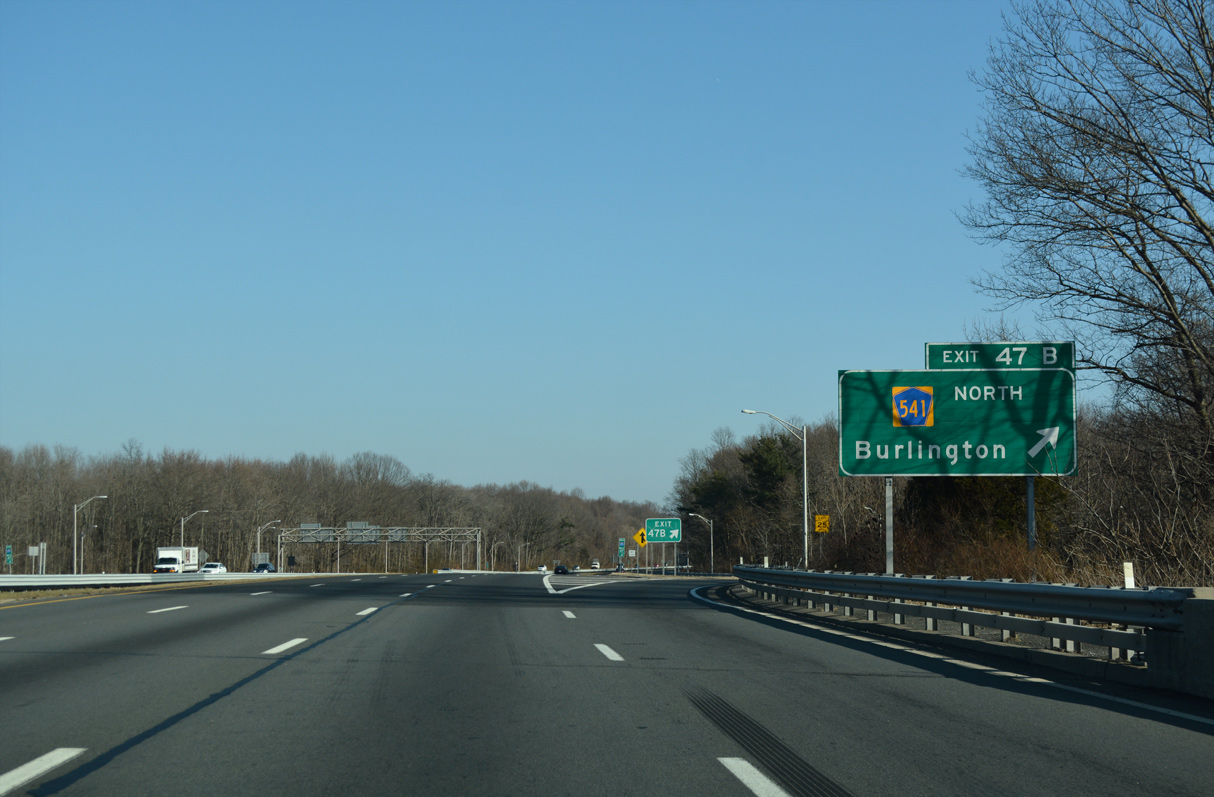
| Turning more northward, Interstate 295 proceeds to Exit 47 with County Route 541 (Mount Holly Road) in Burlington Township. 12/27/18 |
|
| Confirming marker posted ahead of the Woodlane Road (CR 630) over crossing and Mill Creek. 12/27/18 |
|
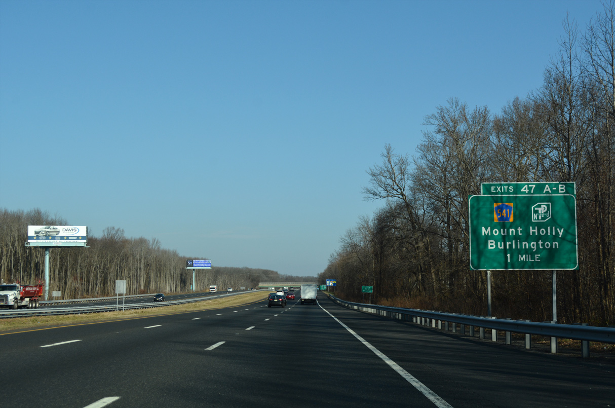
| CR 541 links I-295 with the NJ Turnpike at Exit 5, 1.5 miles to the south. The next access point between I-295 and the toll road is at Exit 56 in Bordentown Township. 12/27/18 |
|
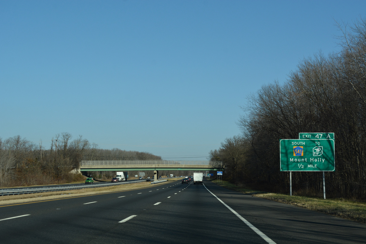
| CR 541 (Mt. Holly Road) southbound passes by the city of Burlington Center Mall just east of Exit 47 A. Closed in 2018, the mall was demolished in 2021 to make way for The Crossings, a development including three warehouses with 1.9 million square feet of office space in addition to 100,000 square feet of retail, restaurants and medical offices.2 12/27/18 |
|
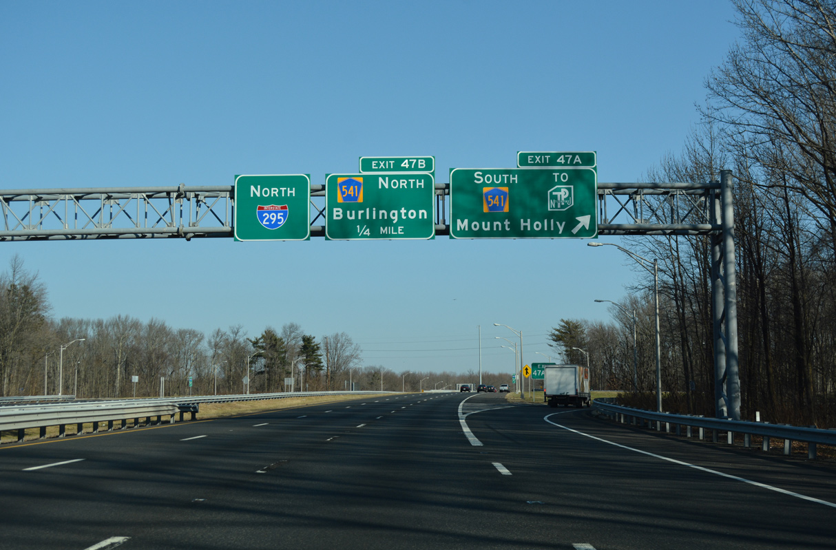
| Interstate 295 northbound at Exit 47 A to CR 541 (Mount Holly Road) south. CR 541 stretches 23.84 miles overall east from Burlington to U.S. 206 in Shamong Township near Wharton State Forest. 12/27/18 |
|
| CR 541 follows Mount Holley Road north onto High Street in the city of Burlington. CR 541 ends at U.S. 130, just east of the Burlington-Bristol Bridge (Route 431) across the Delaware River. Route 431 becomes PA 413 en route to Bristol and U.S. 13. 12/27/18 |
Page Updated 11-19-2022.

 North
North