|
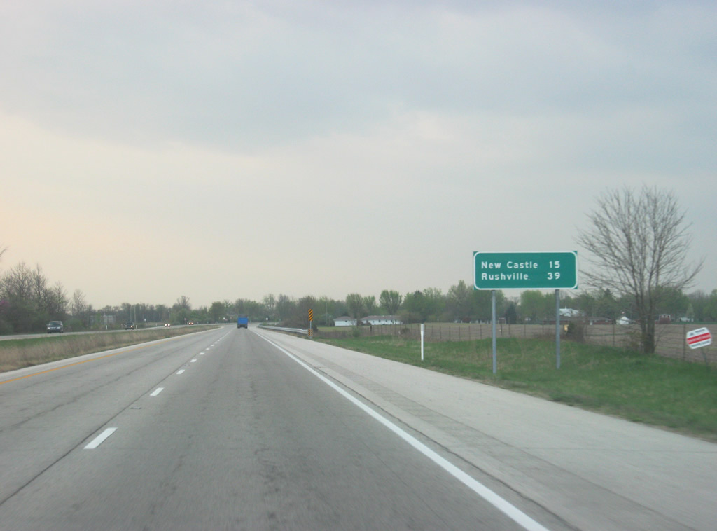
| A reassurance shield greets travelers along the SR 3 expressway south of the interchange with the Muncie Bypass (SR 67). An interstate-style distance sign gives the distances to the next two major communities along SR 3: New Castle (15 miles) and Rushville (39 miles). 04/19/10 |
|
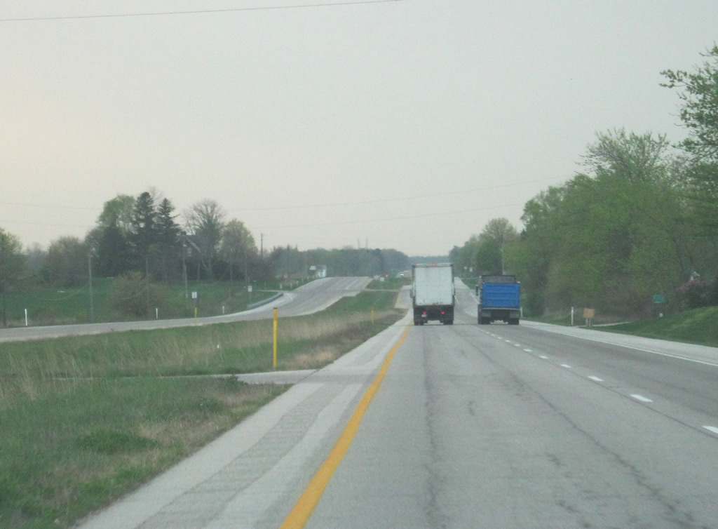
| SR 3 kinks southwest across Buck Creek before turning again and heading due south in this scene. From Muncie south through New Castle and to Interstate 70, SR 3 is a four lane expressway. The road was widened to better connect the city with I-70 as well as connect New Castle with Muncie. 04/19/10 |
|
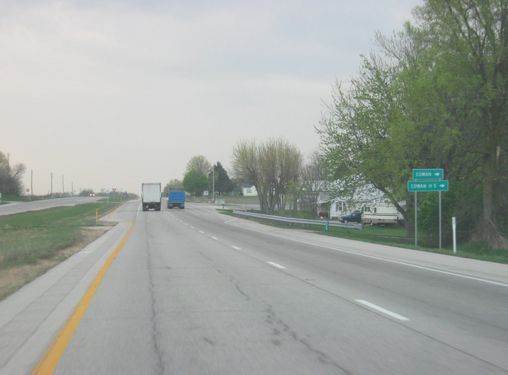
| Shockley Road heads west from SR 3 to the town of Cowan and Cowan High School. 04/19/10 |
|
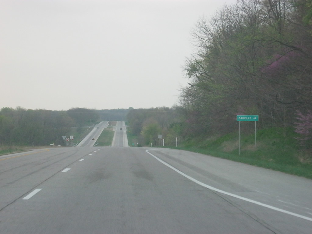
| County Road 750 South crosses SR 3, serving the town of Oakville to the west. 04/19/10 |
|
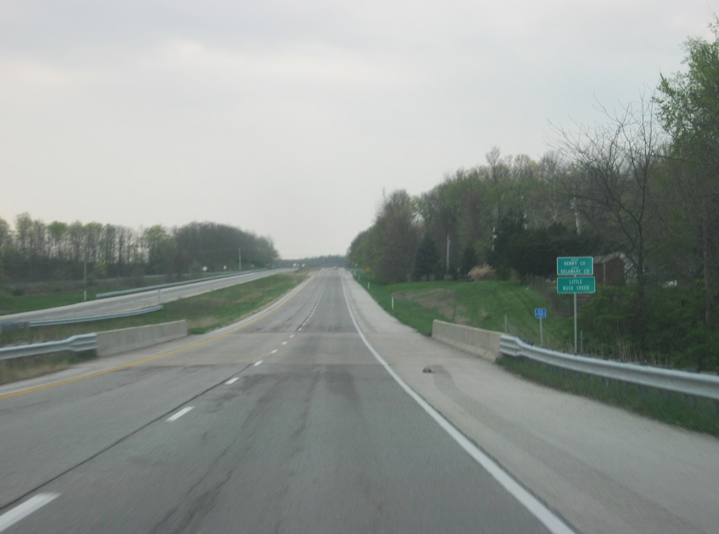
| SR 3 enters Henry County (population 49,462) at the bridge over Little Buck Creek. 04/19/10 |
|
| Meeting SR 3 first in Henry County is County Road 950 North, which leads to the small town of Luray immediately to the east. 04/19/10 |
|
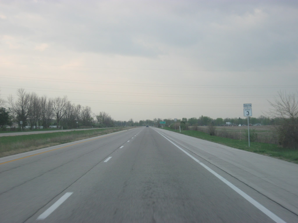
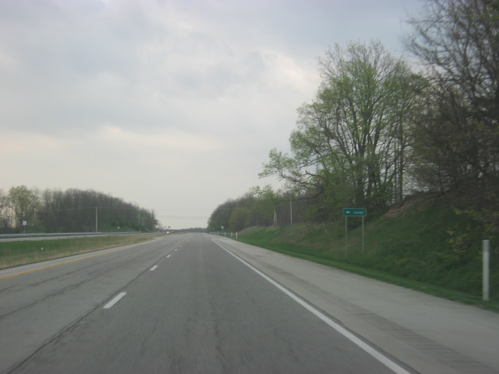
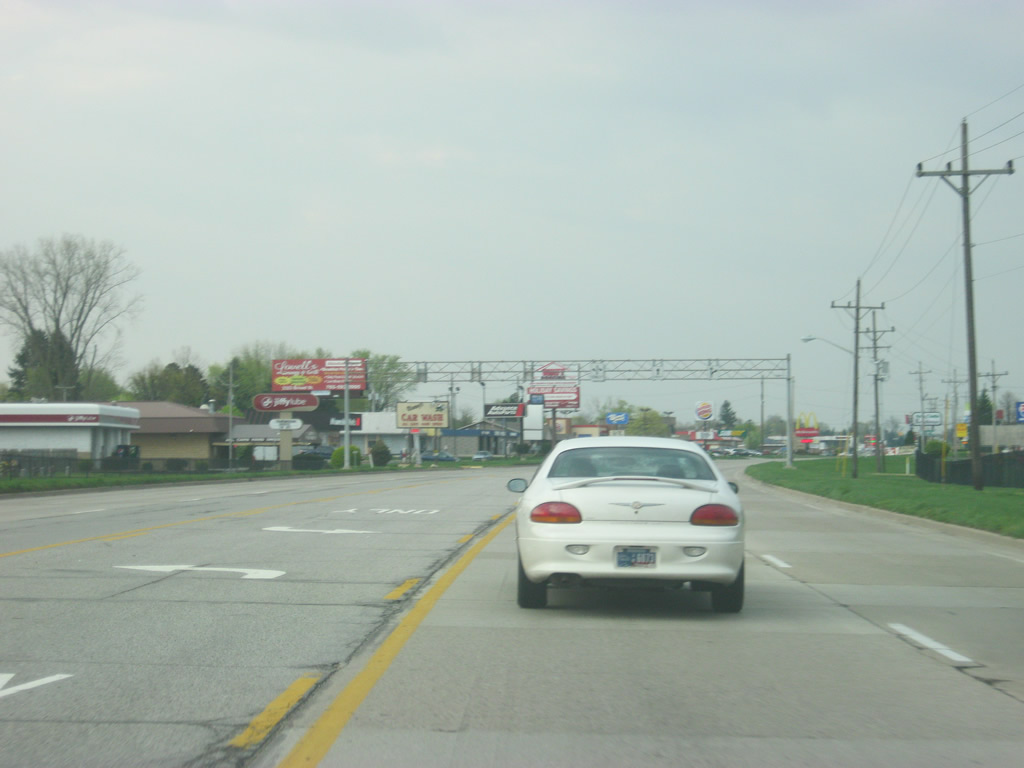
| Scenes of SR 3 heading south from the intersection with County Road 950 North across the northern tier of Henry County. 04/19/10 |
|
| Now a half mile away from the junction between SR 3 and U.S. 36. U.S. 36 goes for 1,414 miles from the Rocky Mountain National Park to Uhrichsville, Ohio and for 139 miles across Indiana from the Illinois line, through Rockville, Danville, Indianapolis, and Pendleton before leaving into Ohio. 04/19/10 |
|
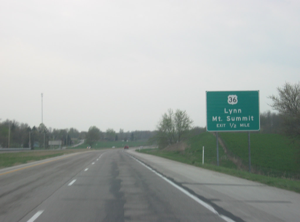
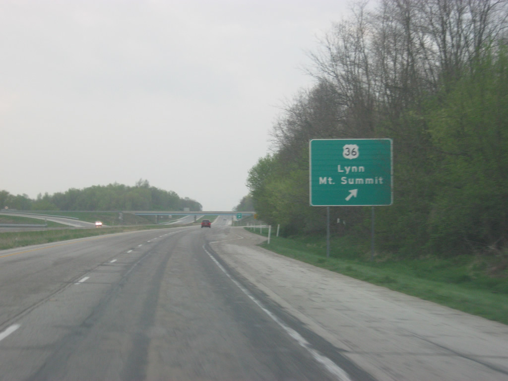
| A diamond interchange facilitates movements between SR 3 and U.S. 36. The town of Mount Summit is less than a mile to the west while the town of Lynn is about 25 miles to the east. Summit Lake State Park is also a few miles to the east along U.S. 36. 04/19/10 |
|
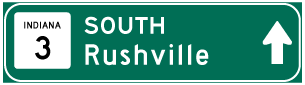
| South of the U.S. 36 interchange, SR 3 is only four miles from the Henry County seat of New Castle. Spiceland, located just south of Interstate 70, is 12 miles away while Rushville is 28 miles away. 04/19/10 |
|
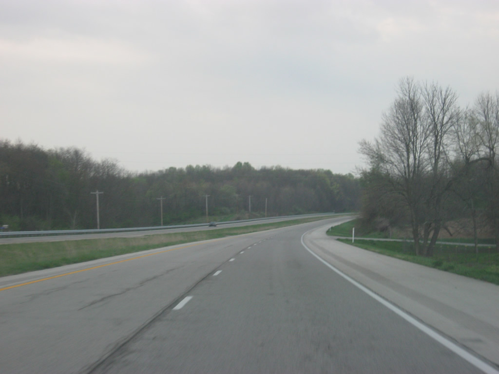
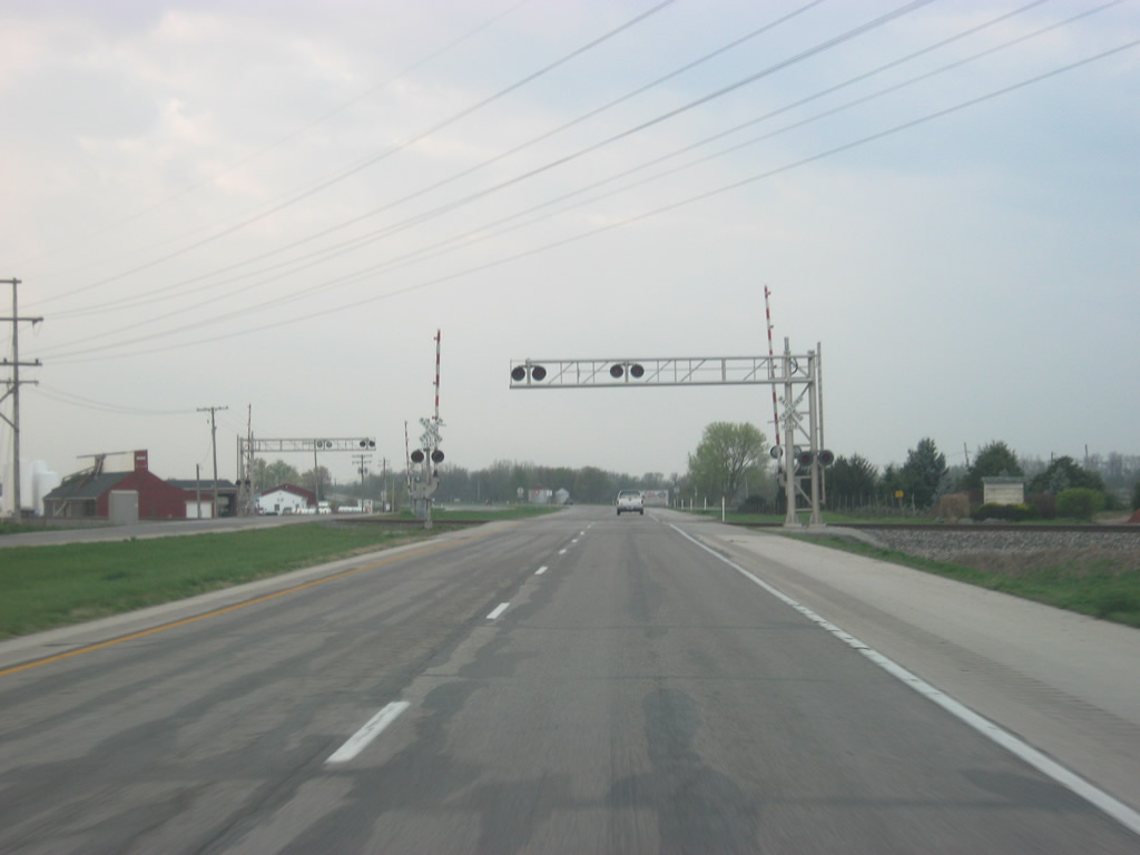
| SR 3 crosses the CSX railroad tracks to the north of the intersection with Prairie Road, which enters from the town of Mount Summit to the north. Prairie Road follows the original routing of SR 3. 04/19/10 |
|
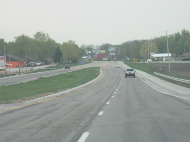
| A couple of miles north of New Castle, the divided portion of SR 3 ends. The highway will remain with at least four lanes through New Castle however. 04/19/10 |
|
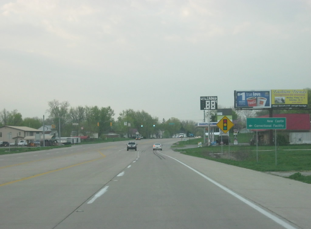
| Approaching the intersection with County Road 200 North, which leads to the New Castle Correctional Facility. 04/19/10 |
|
| SR 3 intersects New York Avenue near the Connersville and New Castle Railroad overpass. 04/19/10 |
|
| The overpass carrying the Connersville and New Castle Railroad serves as a gateway into the main stretch of SR 3 through New Castle, called Memorial Drive. 04/19/10 |
|
| SR 3 (Memorial Drive) now approaches the junction with SR 38 (Broad Street). SR 38 travels for 116 miles from U.S. 52 in Lafayette, east through Frankfort, Noblesville and New Castle before ending at U.S. 35 to the northwest of Richmond. 04/19/10 |
|
| Broad Street heads east into Downtown New Castle, connecting with SR 103, a 14 mile highway that runs across Henry County, paralleling SR 3 but never meeting with it. 04/19/10 |
|
| Entering the intersection with SR 38 (Broad Street) on SR 3 (Memorial Drive) south. To the west, SR 38 heads for the town of Cadiz and Pendleton. Directional arrows for through traffic are shown that the lanes shift slightly to the right beyond the intersection. 04/19/10 |
|
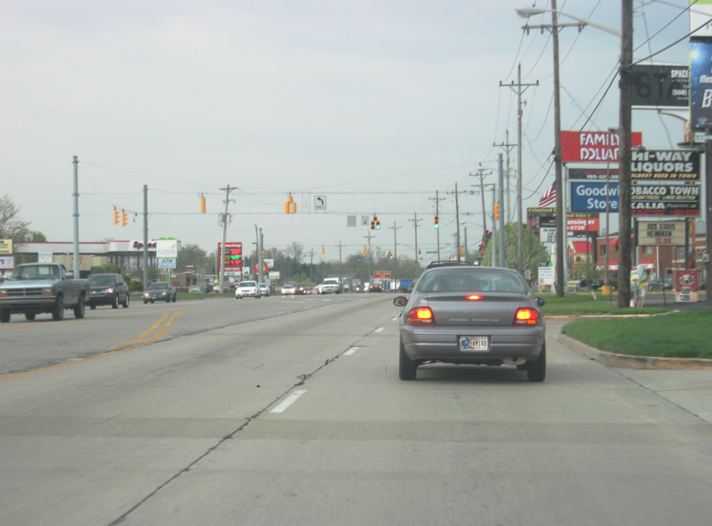
| SR 3 (Memorial Drive) continues southward through some commercial zones along the west side of New Castle. The Big Blue River flows to the west and forms a plain around where SR 3 (Memorial Drive) is located. Indiana Avenue provides another route to Downtown New Castle from the first signal along the stretch. 04/19/10 |
|
| Although SR 3 (Memorial Drive) was built as a bypass for New Castle, it has succumbed to development, which continues along both sides of the state road beyond Mound Run. 04/19/10 |
|
| SR 3 (Memorial Drive) passes by the intersection with Parkview Drive. Parkview Drive leads to New Castle High School, which is home to the New Castle Fieldhouse, the largest high school gymnasium in the world. Indiana is home to nine of the top ten largest high school gyms in the country, a tribute to the state's Hoosier Hysteria for basketball. 04/19/10 |
|
| The next signalized intersection along SR 3 (Memorial Drive) is with Trojan Lane, which heads east to the Indiana Basketball Hall of Fame and the south side of New Castle. 04/19/10 |
|
| SR 3 (Memorial Drive) meets Riley Road, a major east-west road between Westwood Lake and Park and the south side of New Castle. 04/19/10 |
|
| The newest commercial development along SR 3 (Memorial Drive) is with County Road 300 South, which also connects with the New Castle-Henry County Industrial Park. 04/19/10 |
|
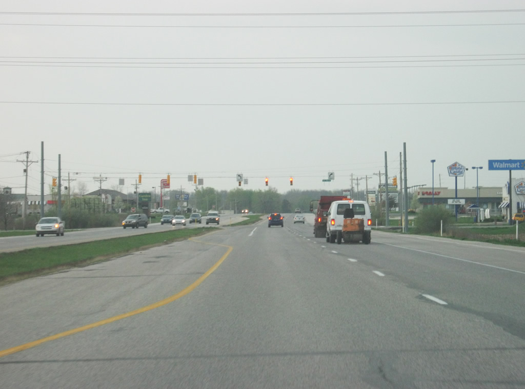
| South of County Road 300 South, SR 3 again becomes an undivided four lane expressway and turns toward the southwest to Interstate 70. 04/19/10 |
|
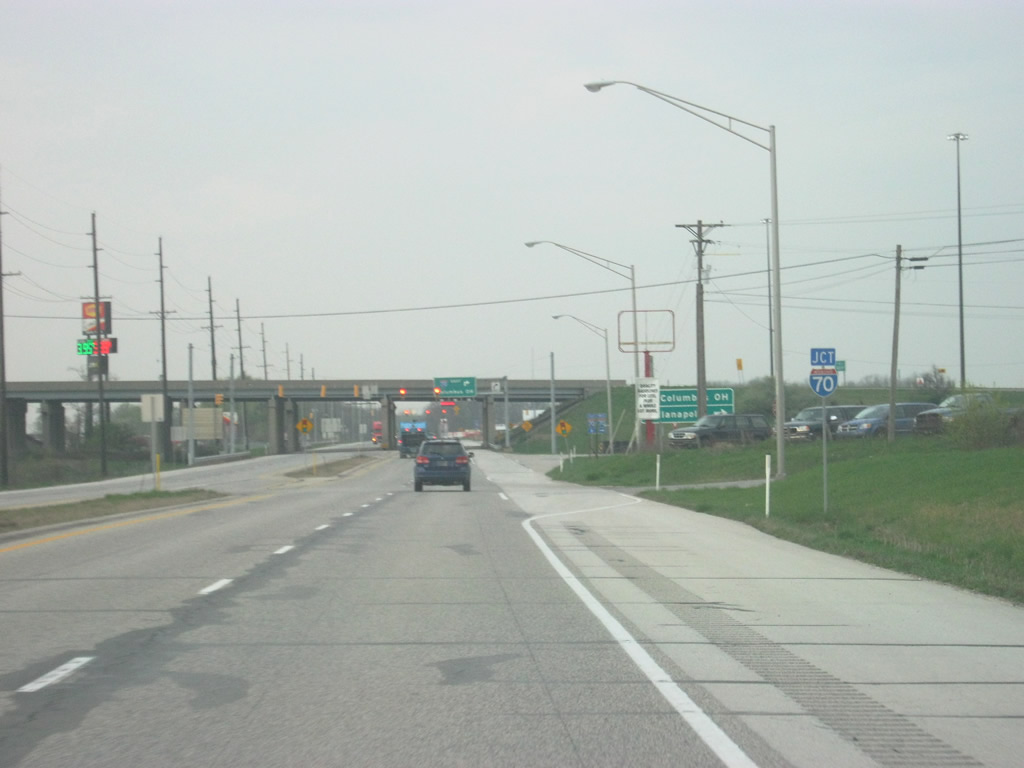
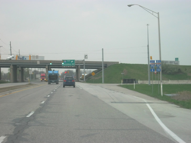
| SR 3 sees a the folded diamond interchange with Interstate 70. Interstate 70 travels from Cove Fort, Utah to Baltimore, Maryland for 2,153 miles. In Indiana, the highway goes for 156 miles, from Terre Haute east through Indianapolis toward Richmond. 04/19/10 |
|
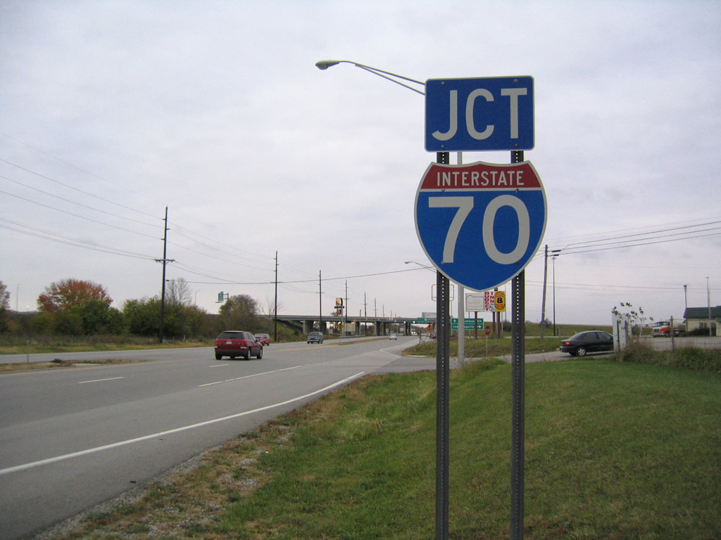
| The previous Interstate 70 shield assembly posted on SR 3 southbound. 10/16/04 |
|
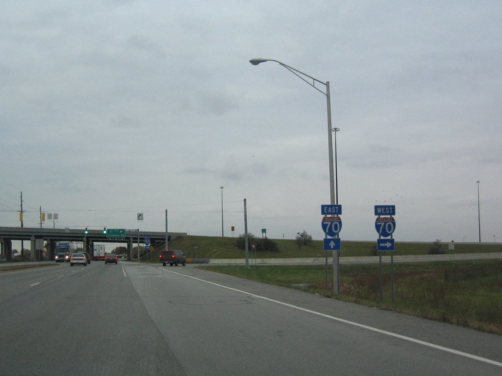
| Interstate 70 travels 20 miles west to Greenfield and 33 miles to Interstate 465 in Indianapolis. 10/16/04, 04/19/10 |
|
| Additional shields that were posted for the westbound on-ramp to Interstate 70 from SR 3 south. Interstate 70 continues 7.5 miles to SR 109 north of Knightstown. 10/16/04 |
|
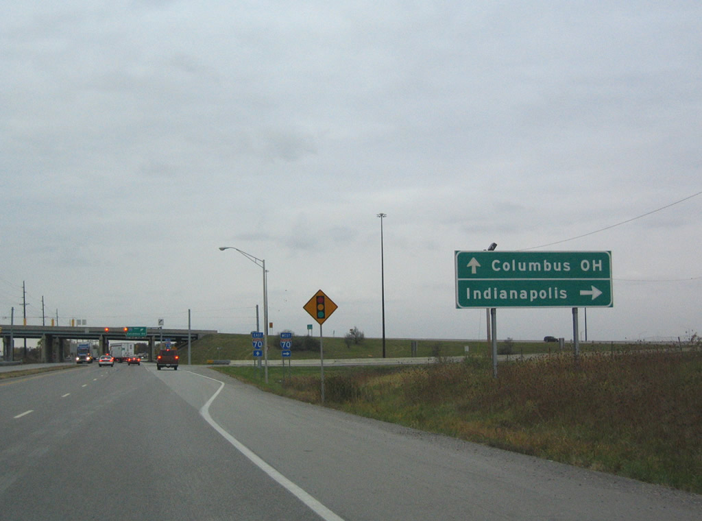
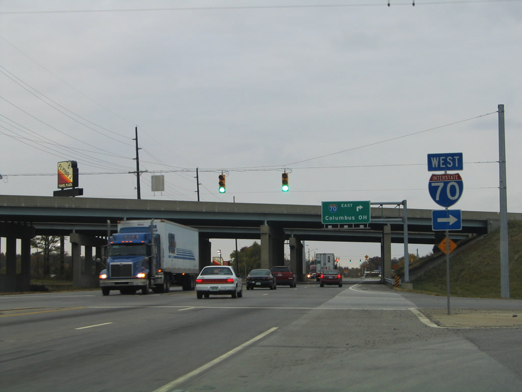
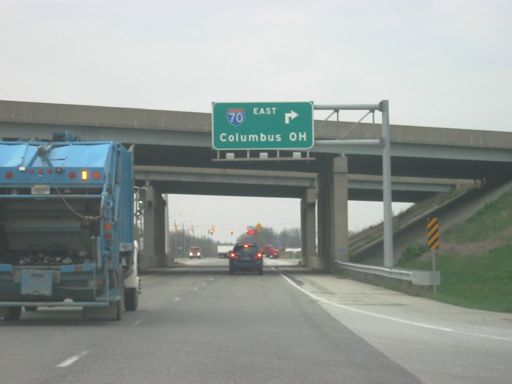
| The second stoplight at the Interstate 70 interchange serves a truck stop to the left and the ramp to Interstate 70 eastbound for Richmond, Dayton and Columbus, Ohio. The signage here still uses the older control city of Columbus for eastbound Interstate 70. 04/19/10 |
|
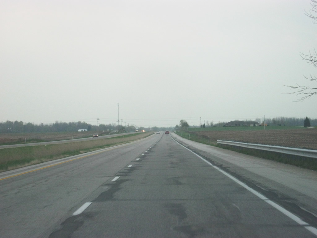
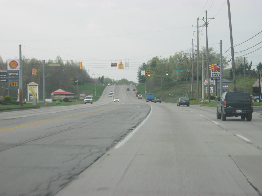
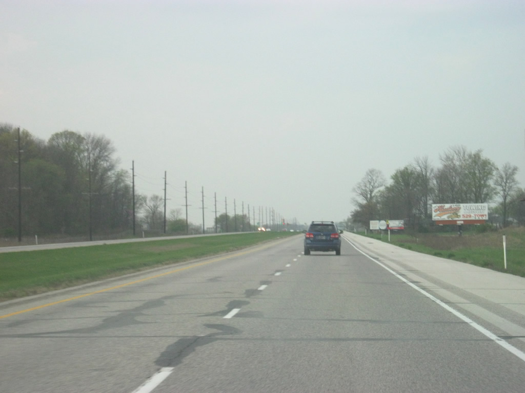
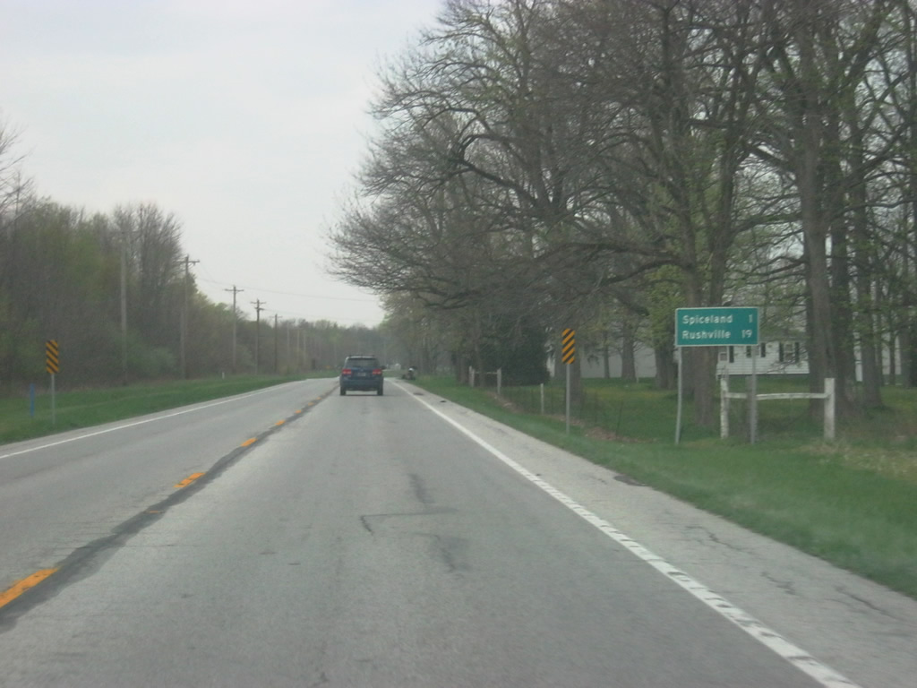
| SR 3 becomes a two lane highway following the Interstate 70 interchange and is only a mile away from Spiceland. The Rush County seat of Rushville follows at 19 miles. 04/19/10 |
|
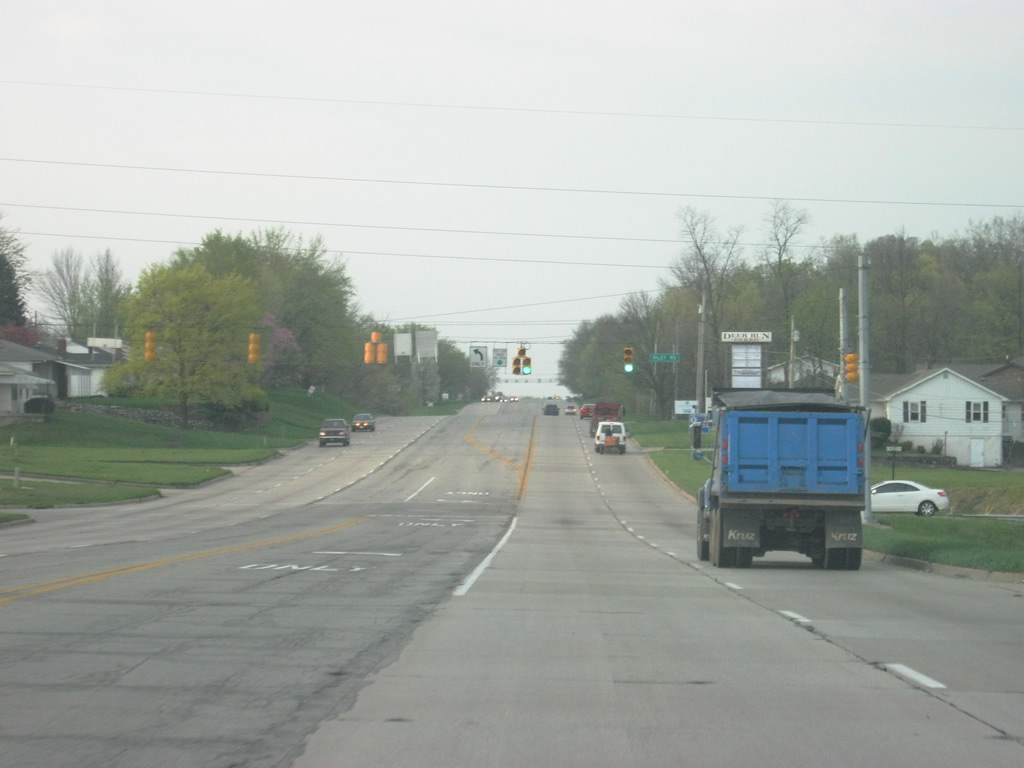
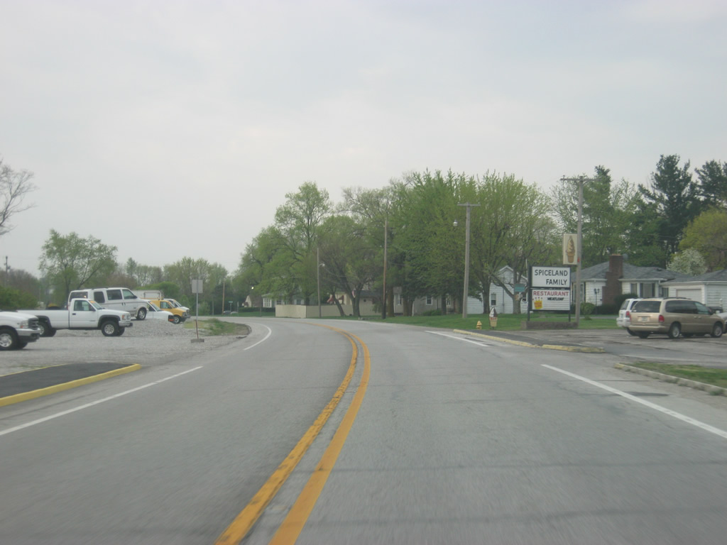
| SR 3 curves through the town of Spiceland and resumes a southerly heading toward U.S. 40. 04/19/10 |
|
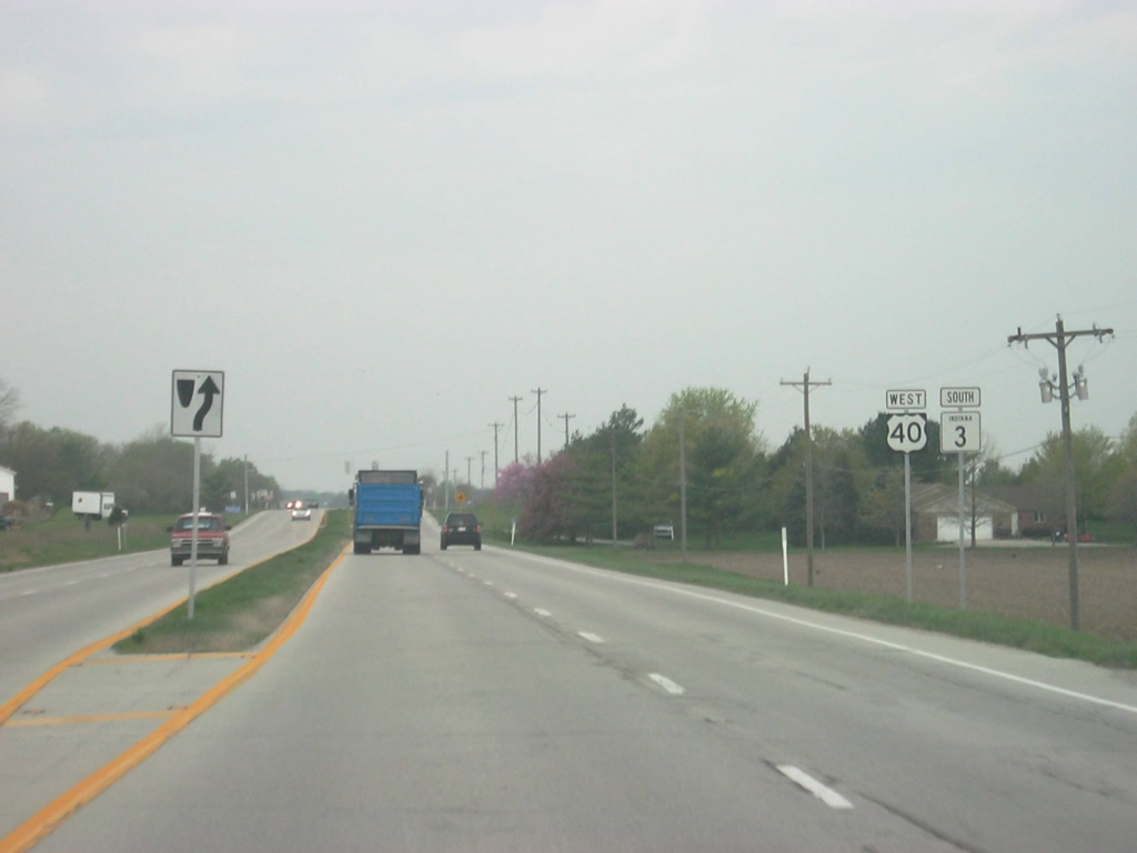
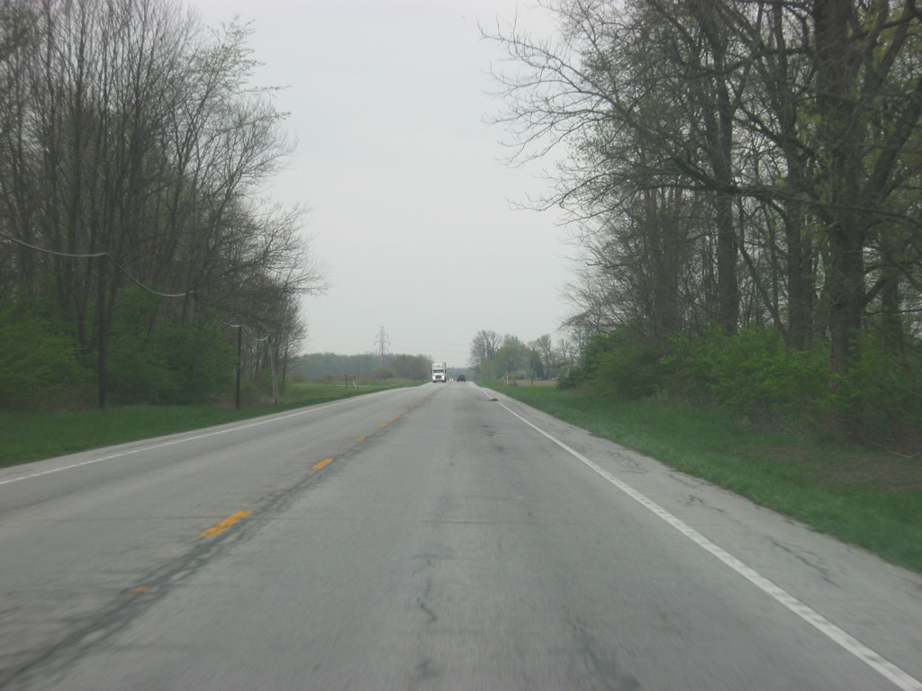
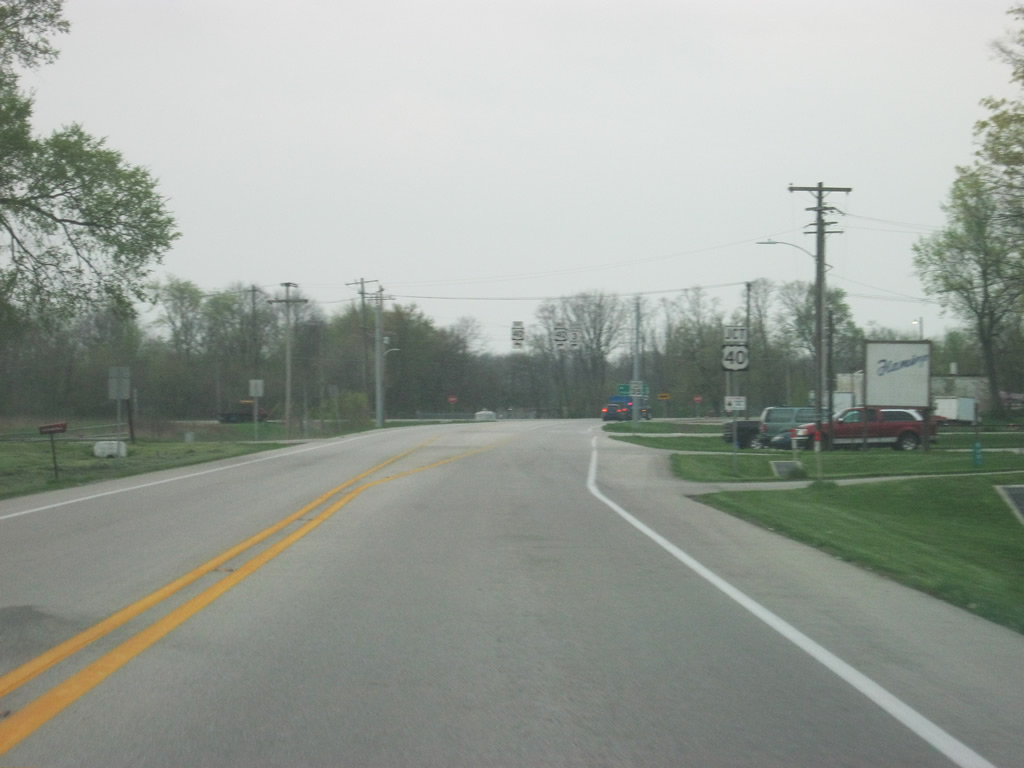
| It is a two mile journey to the south from Spiceland to U.S. 40. 04/19/10 |
|
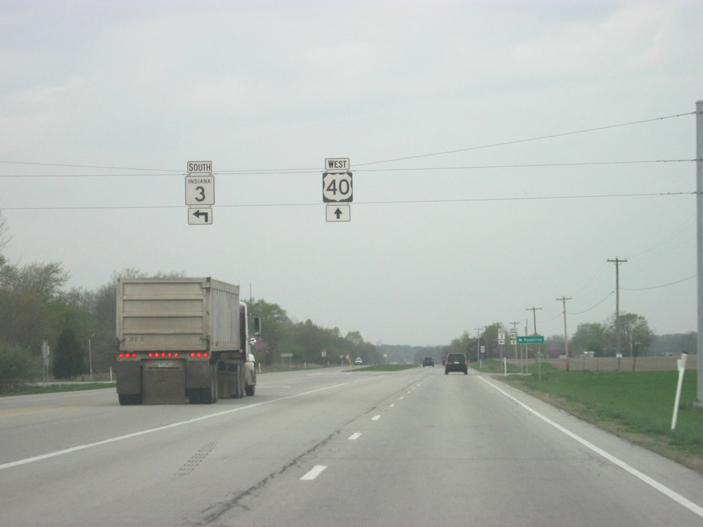
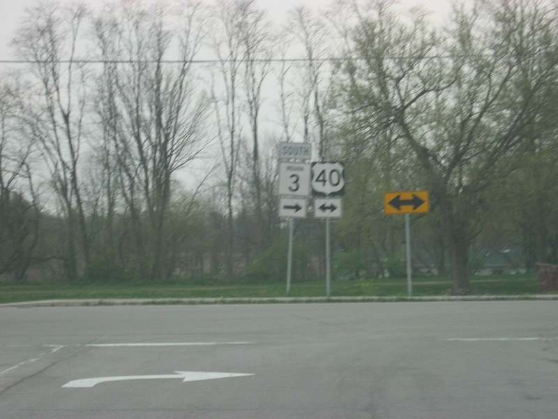
| SR 3 next meets the historic National Road, U.S. 40. U.S. 40 once traveled from San Francisco, California east to Atlantic City, New Jersey. Today it goes for 2,285.7 miles from Park City, Utah to Atlantic City. U.S. 40 travels the Hoosier State for 144 miles from Terre Haute in the west, through Brazil, Plainfield, Indianapolis, and Greenfield to Richmond in the east. 04/19/10 |
|
| SR 3 combines with U.S. 40 west through the town of Dunreith. Prior to the mid-2000s, SR 3 followed a bypass of Dunreith along 1st Street west to an overpass above U.S. 40, west of town. The bypass, deemed no longer necessary, was removed and SR 3 was rerouted onto U.S. 40 town. 04/19/10 |
|
| Now following U.S. 40 west & SR 3 south (Historic National Road) for their brief one mile multiplex. U.S. 40 is a four lane highway for most of its trek across Indiana, a vestige from the time before Interstate 70. Outside of towns, the highway is divided but inside of towns it becomes undivided. 04/19/10 |
|
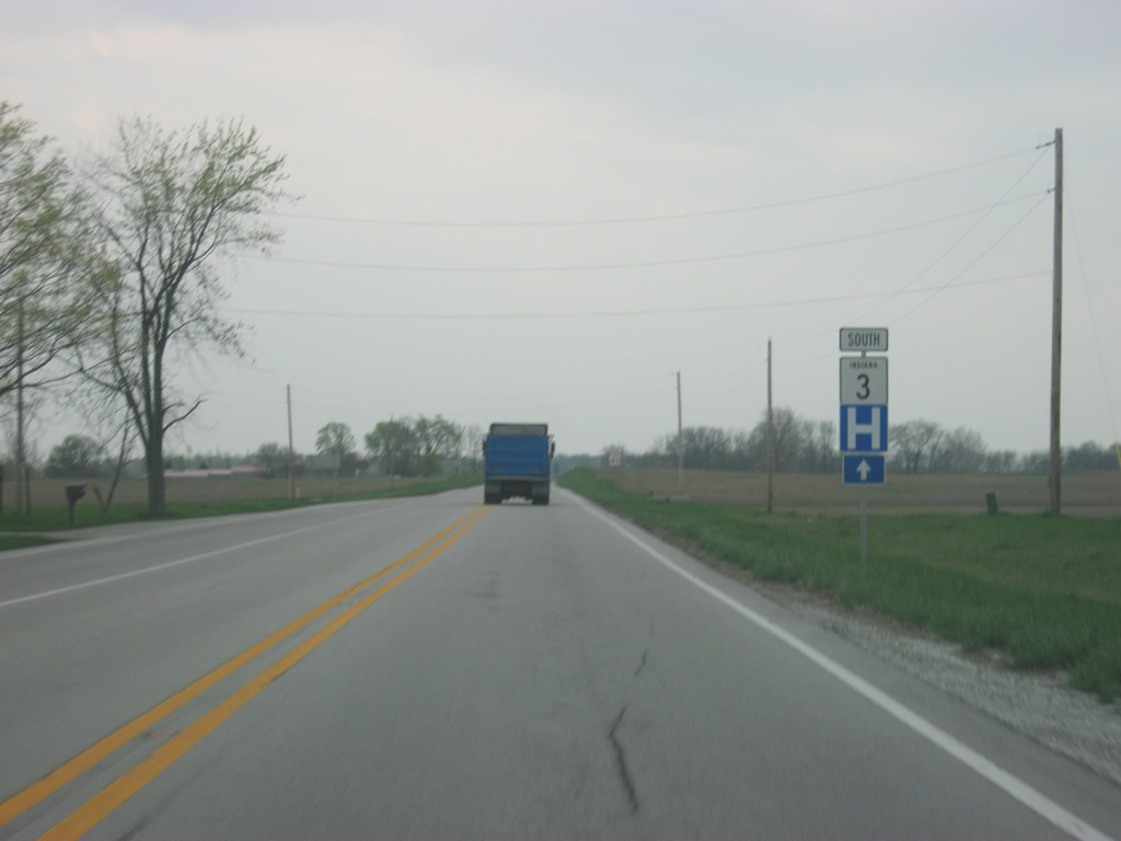
| As soon as we go through Dunreith, it is already time for SR 3 to leave U.S. 40 (Historic National Road). 04/19/10 |
|
| SR 3 leaves U.S. 40 (Historic National Road) and again travels south toward a crossing of Buck Creek. 04/19/10 |
|
| SR 3 enters Rush County (population 17,393) one mile south of U.S. 40. 04/19/10 |
Page Updated 11-28-2012.


 west &