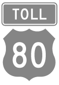
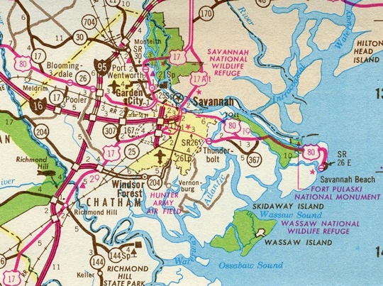
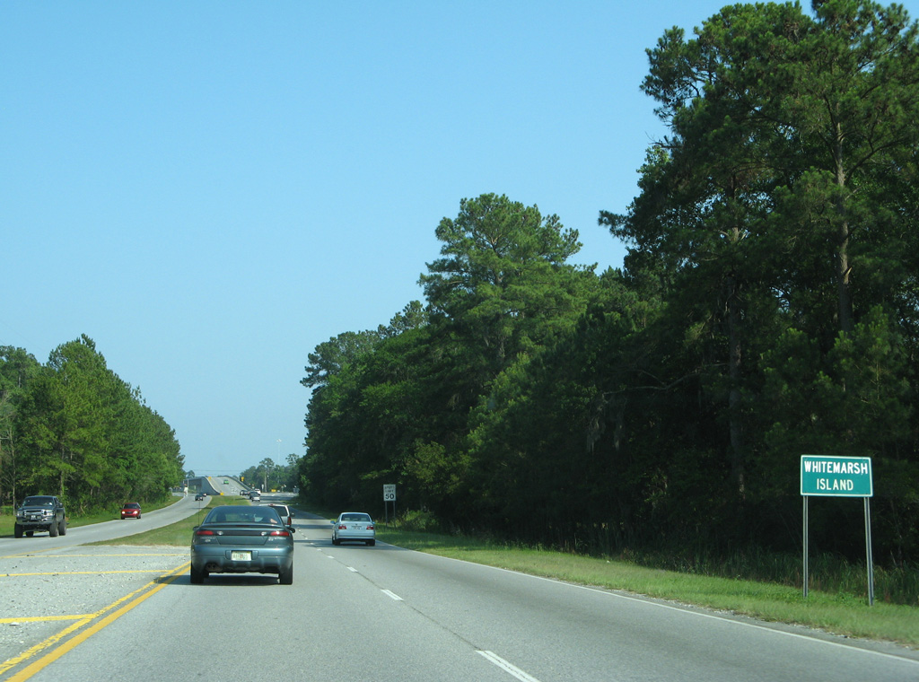
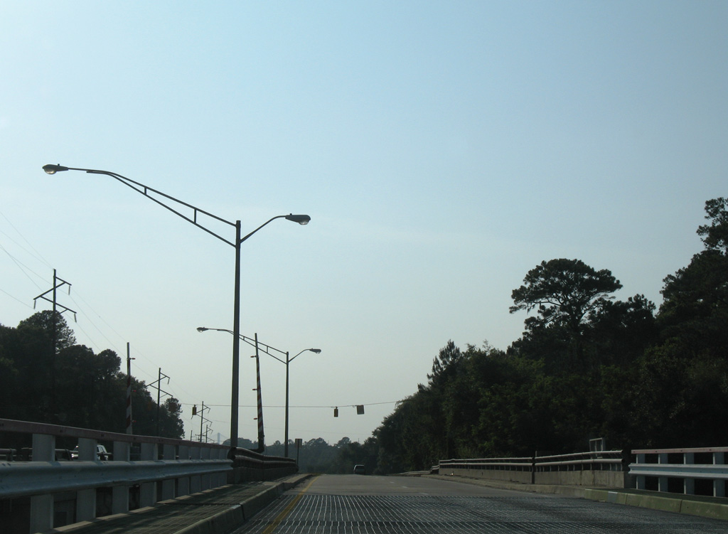
Toll U.S. 80 provided a more direct route east to Tybee Island (Savannah Beach) through Downtown Savannah along Bay Street, General McIntosh Boulevard and President Street Extension. This alignment continued east along Island Expressway / Savannah Beach Expressway to a toll bridge across the Wilmington River between Causton Bluff and Oatland Island. Toll U.S. 80 and U.S. 80 converged at a wye interchange on Whitemarsh Island, with U.S. 80 navigating along a series of causeways and bridges across marsh land to Fort Pulaski National Monument and Tybee Island.
The Georgia Highway Department initially sought to designate U.S. 80 Alternate along Bay Street, President Street and the Islands Expressway between Savannah and Oatland Island. The application submitted to the American Association of State Highway Officials (AASHO) included this explanation for the reuqest:
Proposed U.S. Route 80 Alternate between Savannah and Savannah Beach provides traffic with a facility constructed with Chatham County financing and meets the AASHO criteria for inclusion as an Alternate Toll Highway Facility. A Toll Bridge Facility over the Wilmington River (Atlantic Intracoastal Waterway) charges a fee of 25¢ for passenger vehicles and 50¢ for trucks, with an option purchase of 20 tokens for $3.00 for passenger vehicles.
This proposed alternate is approximately 2.2 miles shorter, has 17 less traffic signals and two less 90° turns than present U.S. Route 80 between Savannah and Savannah Beach.
With tolls removed, the Georgia Department of Transportation (GDOT) proposed relocating U.S. 80 onto Islands Expressway over what was U.S. 80 Toll. U.S. 80 followed the couplet of Broad and Montgomery Streets south from Bay Street to Victory Drive, and Victory Drive east to Thunderbolt and White Marsh Island at the time. The American Association of State Highway and Transportation Officials (AASHTO) concurred with this request on June 26, 1981. However, U.S. 80 would remain south of Downtown Savannah along Victory Drive through Midtown, and along the alignment east to Thunderbolt and White Marsh Island:
Plans to add President Street and Islands Boulevard to Georgia's State Highway System have been suspended. This route (Approved by AASHTO) in June, 1981 (as a relocation for U.S. 80) will remain a local road under County jurisdiction for the foreseeable future. Improvement projects are now planned for sections of Georgia State Route 26 (old U.S. 80) from Thunderbolt easterly to Saffold Field (colored in green on the sketch map) to provide a better, higher traffic capacity route. Therefore, we request U.S. 80 be relocated back to its previous alignment shown in green on the sketch map.
The subsequent application for the relocation of U.S. 80 was approved by AASHTO on June 29, 1982.
Four lane expansion of Islands Expressway (County Route 787) included the addition of a second bridge over the Wilmington River. Rather than construct a new crossing, crews moved the existing draw bridge for U.S. 80 at Thunderbolt northward for use at Oatland Island. With construction underway by 1987, the U.S. 80 crossing was replaced with a fixed, high level bridge.1
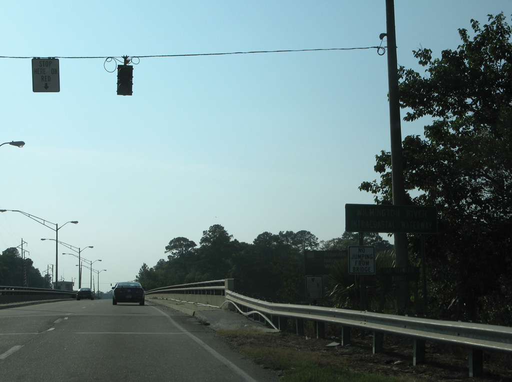
The aging Sam Varnedoe Bridge carrying the Islands Expressway across the Wilmington River was replaced with a new high level bridge. The Island's Expressway Bridge Replacement Project started with land acquisition on the east side of the river in 2015.3 The Georgia Department of Transportation (GDOT) issued a Notice to Proceed for construction on the pair of 1,970 foot long bridges on February 2, 2018. The eastbound span is 36 feet wide with two 12 foot wide travel lanes; the westbound bridge has a 43.58 foot wide deck, with two 12 foot wide travel lanes. Formal plans for the new Intracoastal Waterway crossing originated in 2005.4
|
| Montgomery Street heads north from Franklin Square to intersect Bay Street, one block from the separation with SR 25CO. Montgomery Street was the former alignment of U.S. 17 north / U.S. 80 west on the west side of Downtown Savannah. 05/29/05 |
|
| Baynard Street intersects Bay Street one block north of Ellis Square. 05/29/05 |
|
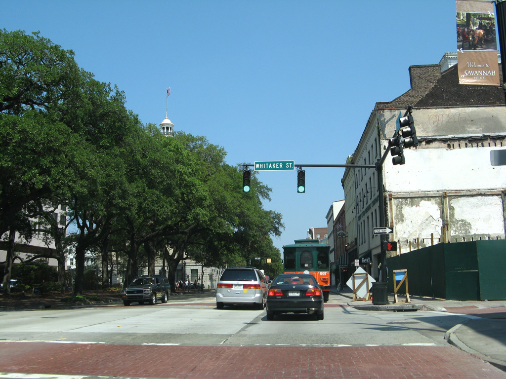
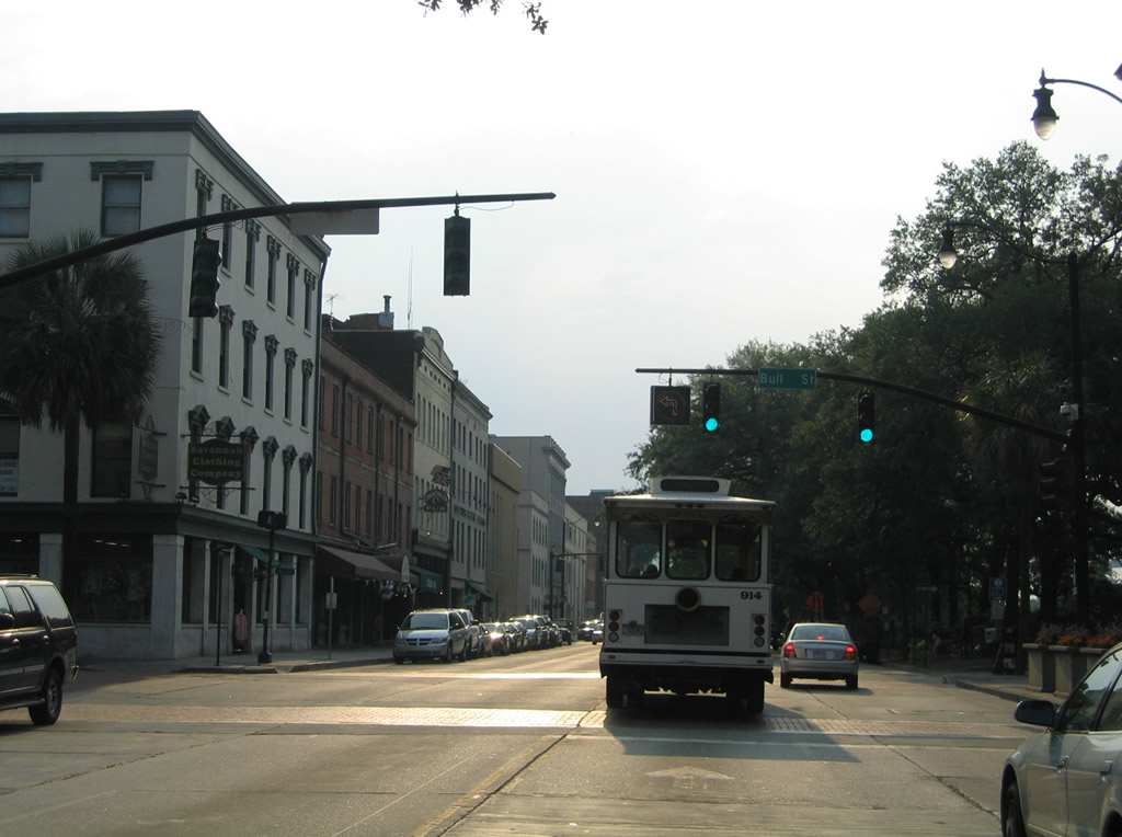
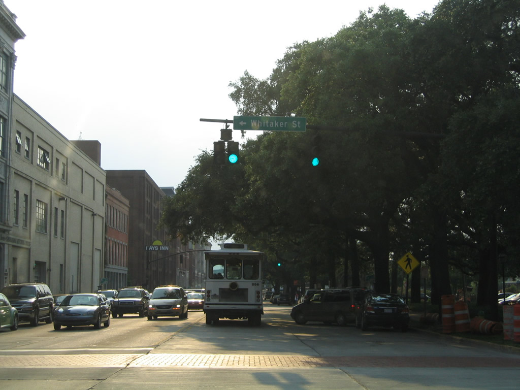
| Whitaker Street flows south from Bay Street and the Savannah Riverfront through the central business district. 05/29/05 |
|
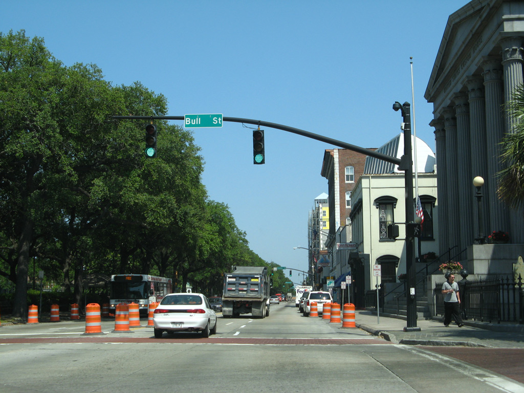
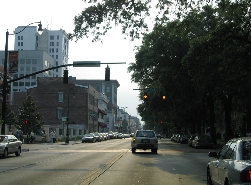
| Bay Street east at Bull Street across from Savannah City Hall. 05/29/05 |
|
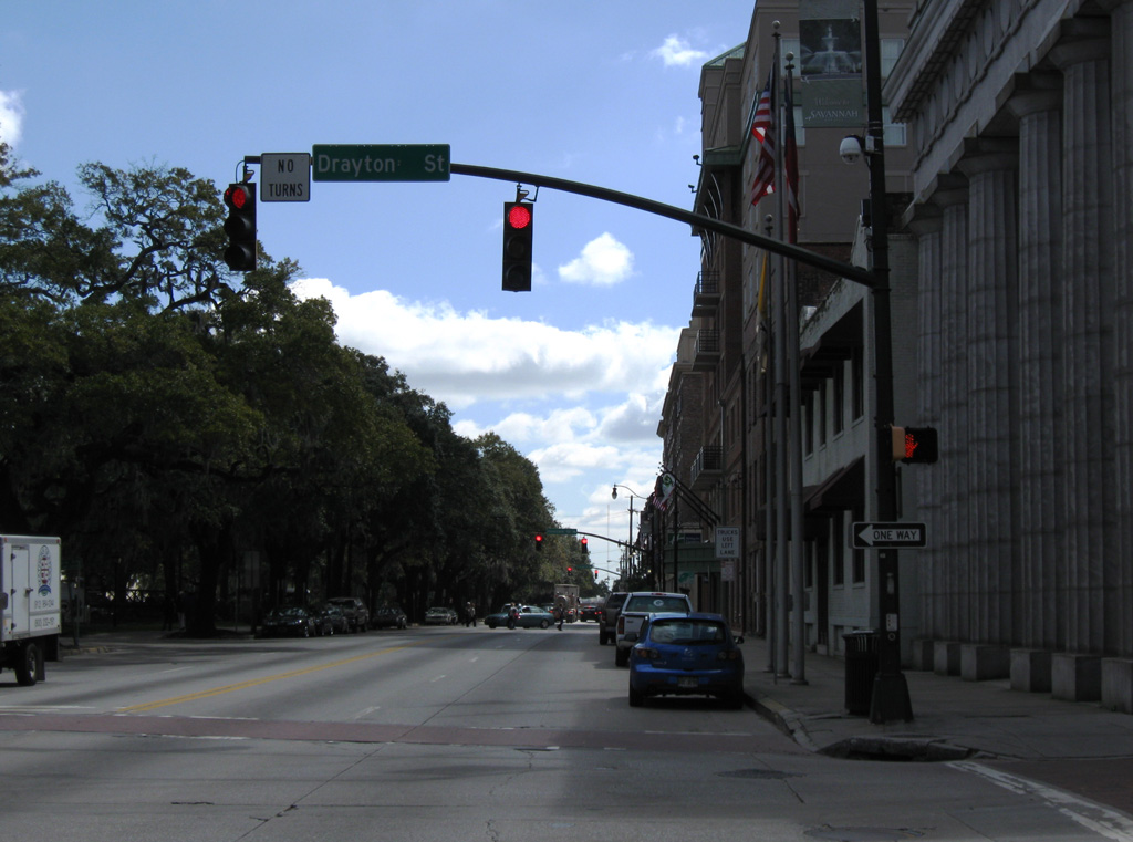
| Bay Street east at Drayton Street south. Drayton Street passes through historic Downtown Savannah southward to Forsyth Park. 03/15/10 |
|
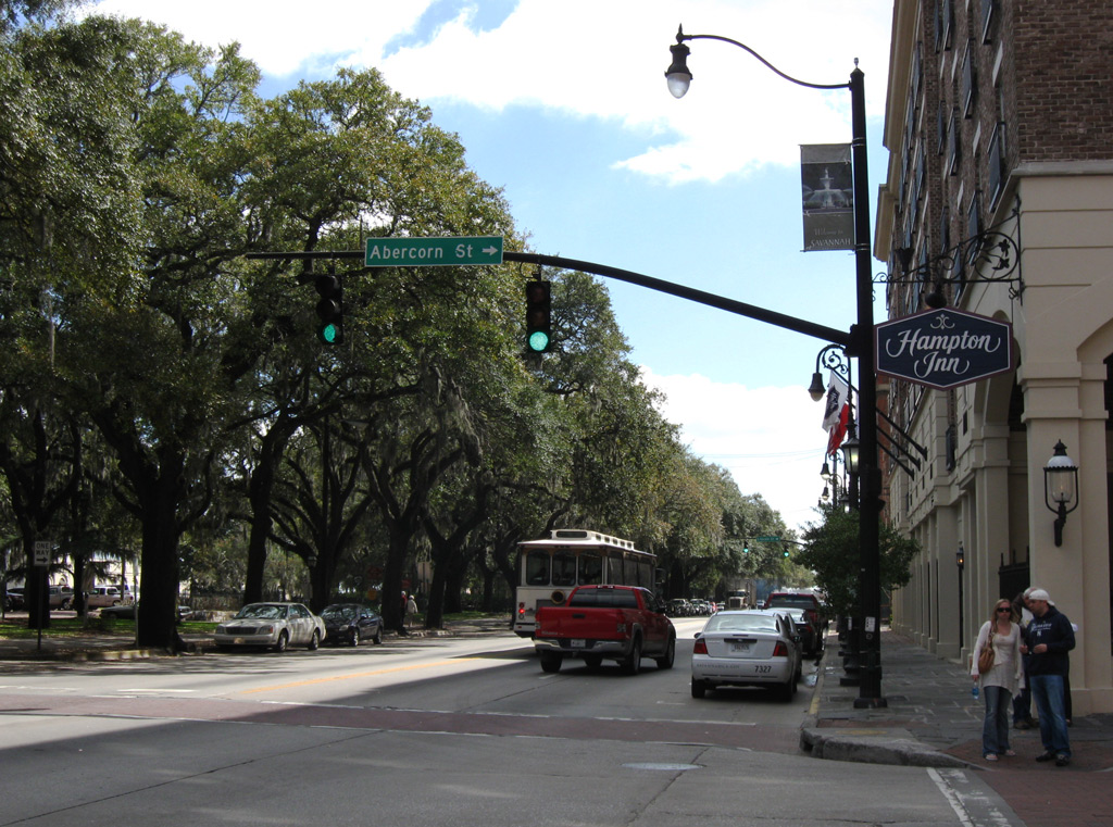
| A one block section of Abercorn Street links Bay Street with Bryan Street at Reynolds Square. Abercorn Street expands into an urban arterial south of 37th Street, eventually becoming apart of SR 204 at DeRenne Avenue. 03/15/10 |
|
| Lincoln Street stems south from Bay Street and Emmet Park to Oglethorpe Avenue at Colonial Park Cemetery. 05/29/07 |
|
| Bay Street east intersects the ramp linking E Broad Street south to River Street. The ramp and River Street are made of cobblestone. 03/15/10 |
|
| South from Bay Street, E Broad Street lines the east side of historic Downtown Savannah along a tree lined boulevard. 03/15/10 |
|
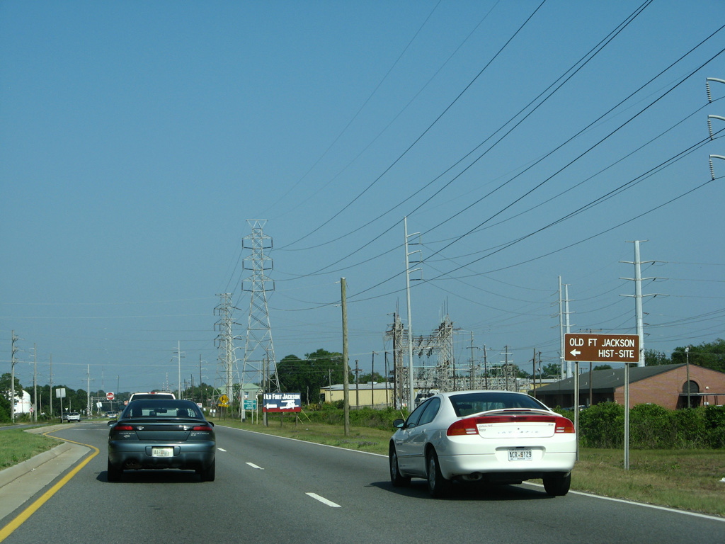
| Bay Street drops in elevation from E Broad Street along the north side of Old Fort Jackson. 05/29/07 |
|
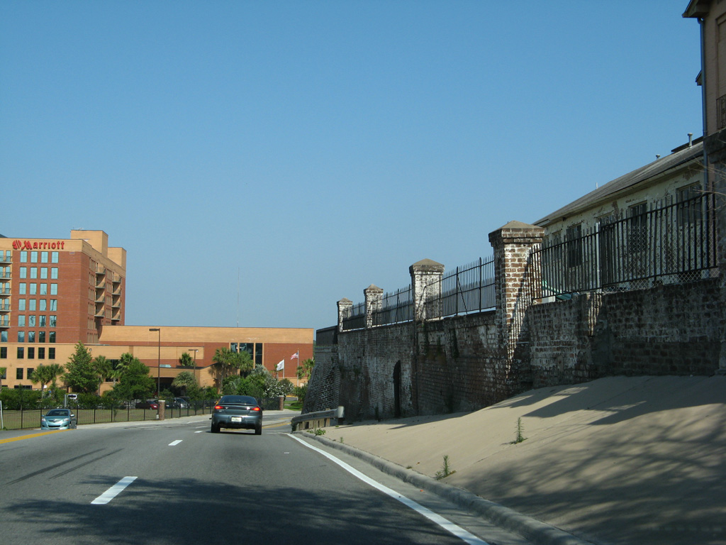
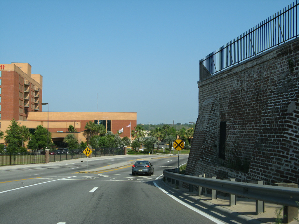
| Bay Street curves southeast to become General McIntosh Boulevard at River Street. General McIntosh was closed and subsequently demolished during the President Street Project that started in January 2015. 05/29/07 |
|
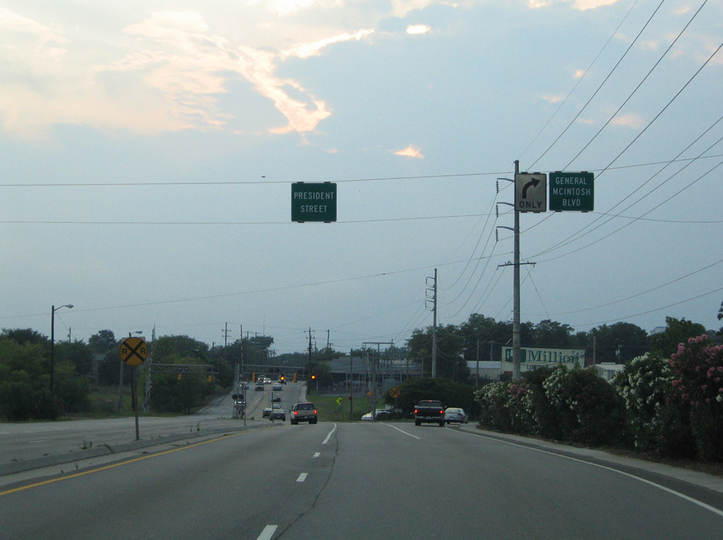
| President Street overtook General McIntosh Boulevard as the main route east to Oatland Island and Tybee Island. This intersection was rebuilt during the President Street Project. The alignment of General McIntosh Boulevard was eventually relocated in a later phase. 05/29/05 |
|
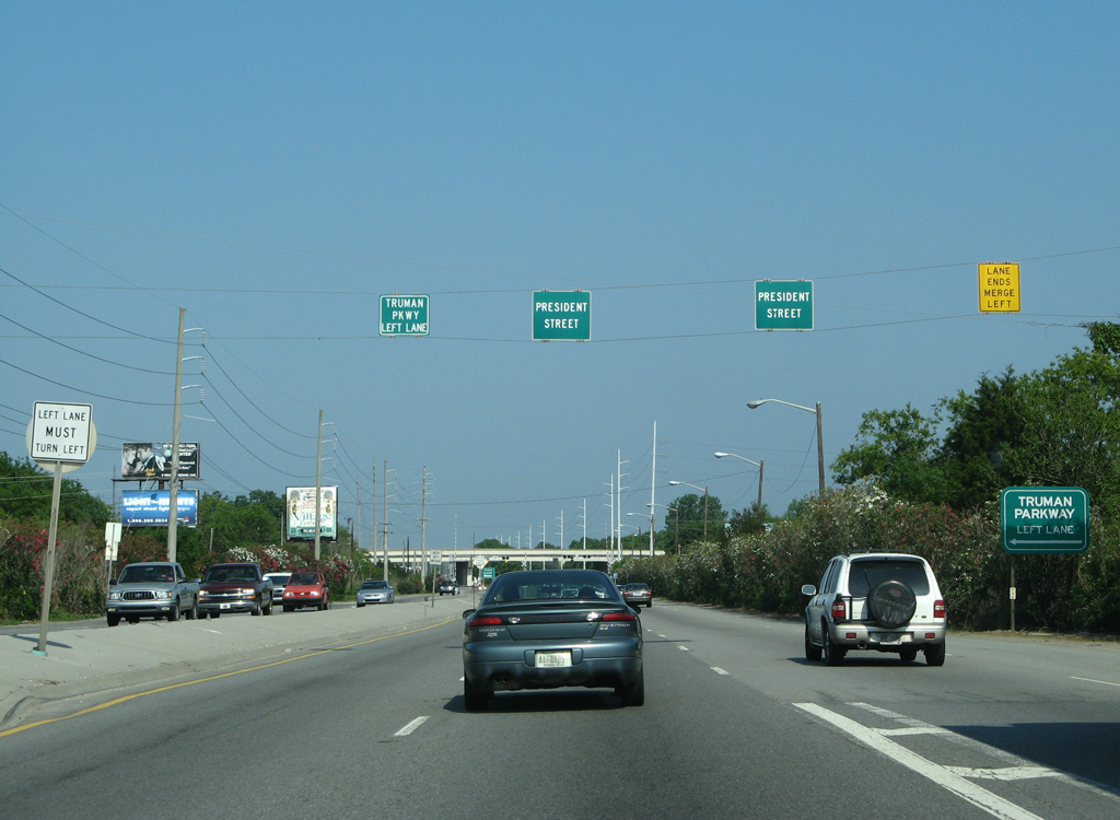
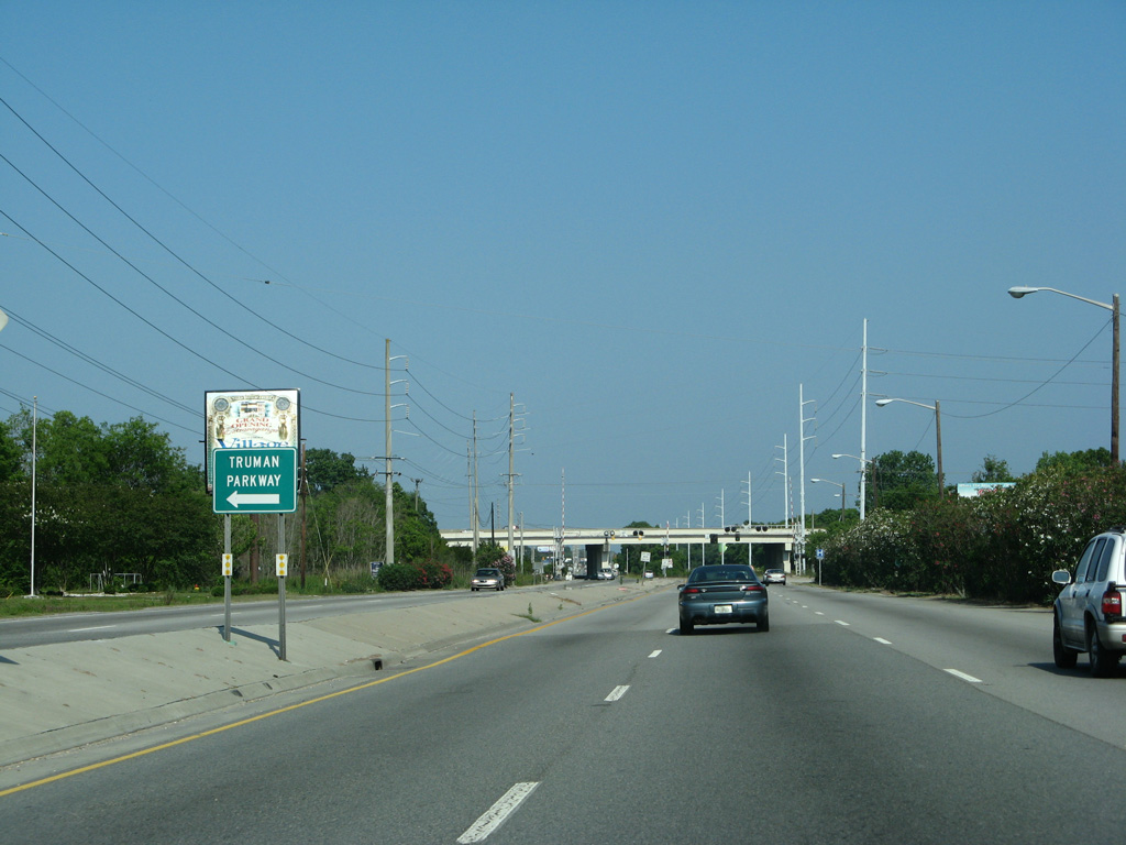
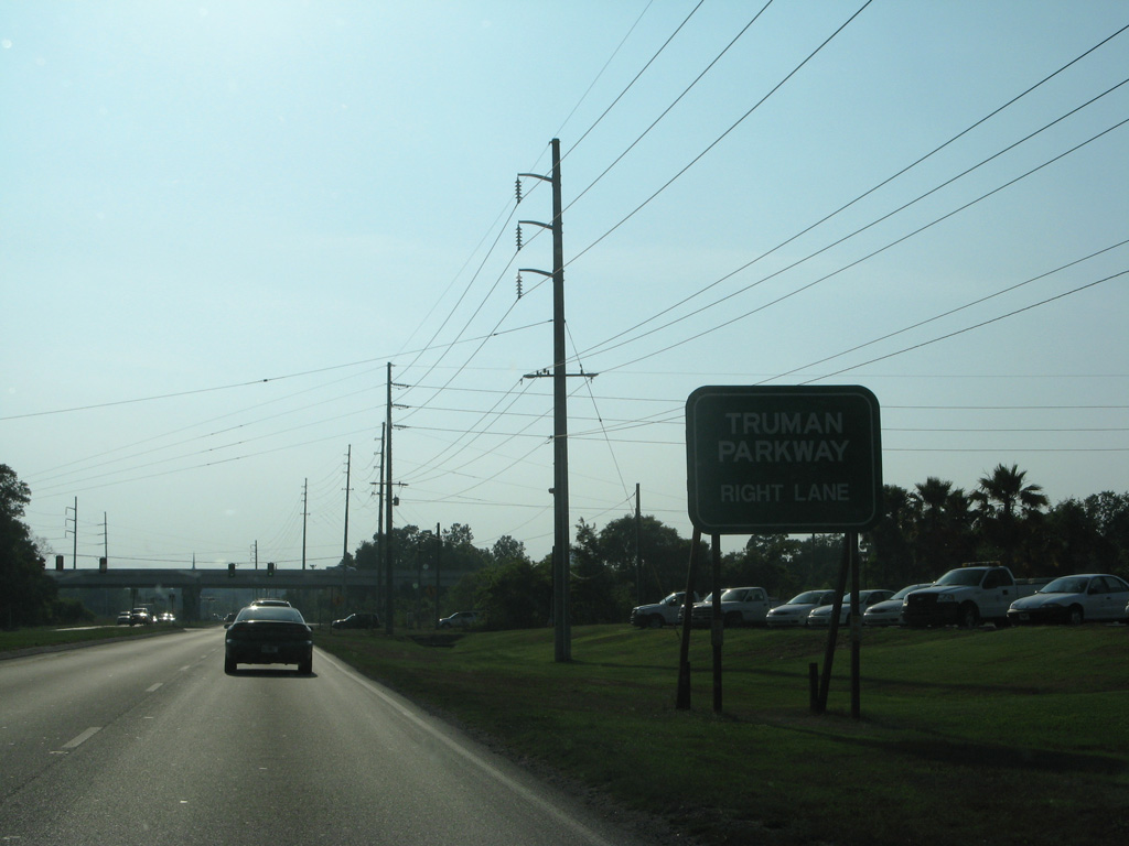
| President Street eastbound approaches the north end of Truman Parkway. Maintained by Chatham County, Truman Parkway is unnumbered. 05/29/07 |
|
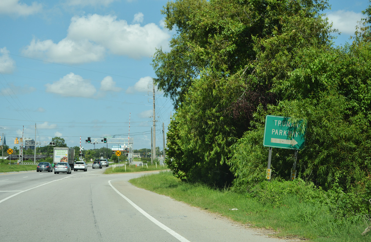
| A small guide sign directs motorists to the left turn from President Street east to Truman Parkway south. Truman Parkway winds southward through the east side of Savannah to SR 204 (Abercorn Street Extension) at Southside Savannah. 05/29/07 |
|
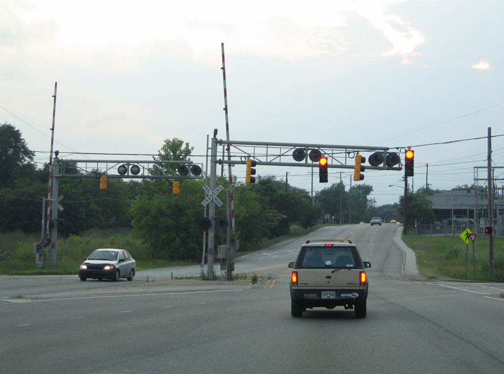
| President Street crosses the Seaboard Coast Railroad line ahead of the loop ramp for Truman Parkway south. President Street Extension / Islands Expressway continues east 2.5 miles to cross the Wilmington River and 4.5 miles to U.S. 80 on White Marsh Island. 05/29/07 |
|
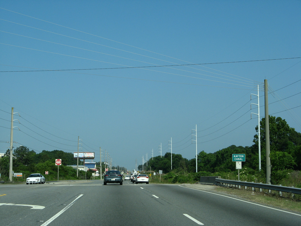
| Continuing east, President Street crosses Kayton Canal ahead of Savannah Golf Club and the Pine Gardens community. 05/29/07 |
|
| Pennsylvania Avenue provides one of three streets connecting President Street with the Pine Gardens street grid. 05/29/07 |
|
| Woodcock Street stems north from President Street to an industrial area along the Savannah River and Fort Jackson Road to the Old Fort Jackson historic site. 05/29/07 |
|
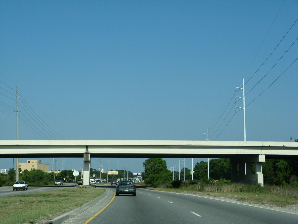
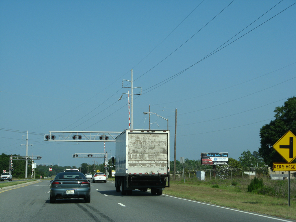
| Beyond the at-grade railroad crossing at Kerr-McGee Road, Islands Expressway takes over for President Street as the name of the four lane highway east to Whitemarsh Island. 05/29/07 |
|
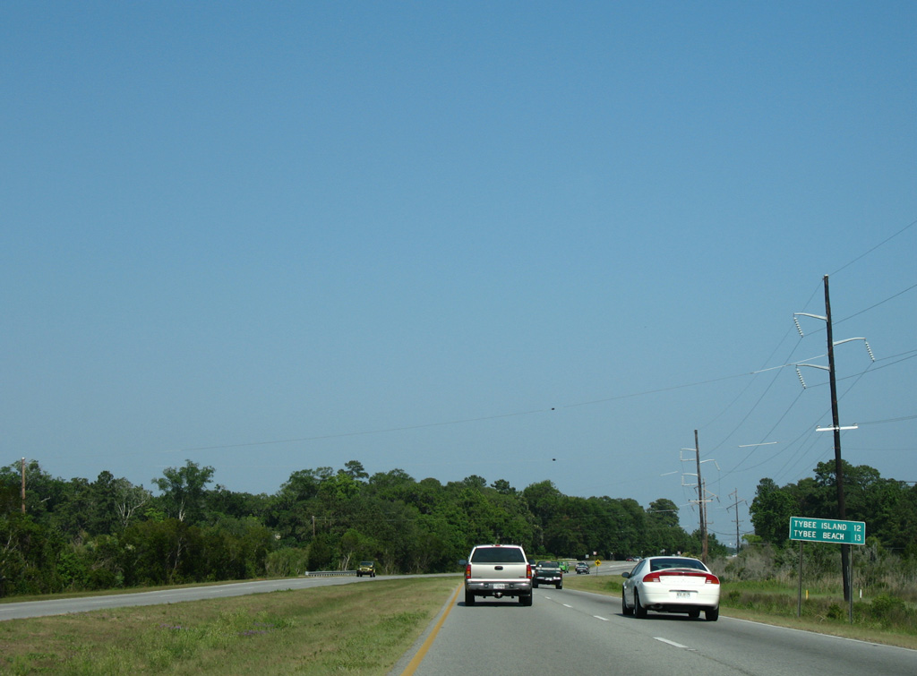
| Motorists taking Islands Expressway east from Elba Island Road to U.S. 80 will reach Tybee Island in 12 miles. 05/29/07 |
|
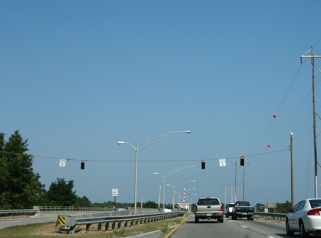
| Islands Expressway previously crossed the Intracoastal Waterway over a pair of single leaf bascule bridges. 05/29/07 |
|
| Dating from 1963, the Sam Varnedoe Bridge was functionally obsolete, requiring constant maintenance. 05/29/07 |
|
| Started in 2018, the Island's Expressway Bridge Replacement Project replaced the 22 foot high movable bridges with a fixed span providing 65 feet of navigational clearance to vessels along the Wilmington River. 05/29/07 |
|
| The original Islands Expressway toll plaza was located just east of the Wilmington River on Oatland Island. Tolls were lifted from the roadway in 1980. 05/29/07 |
|
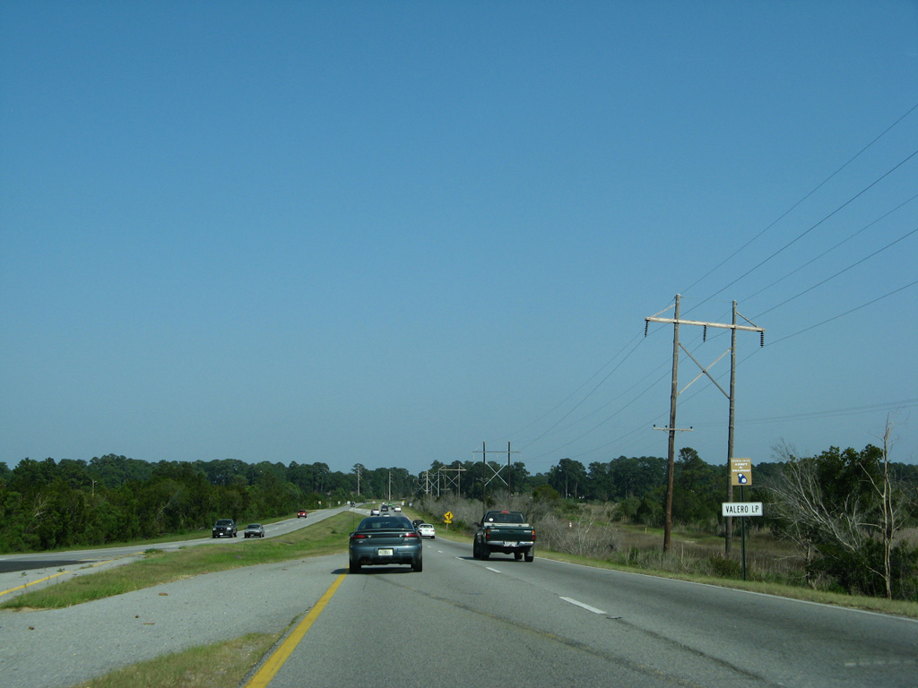
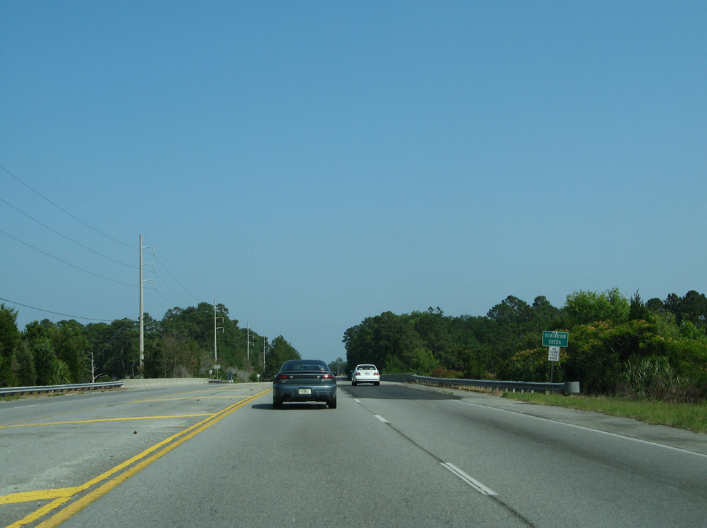
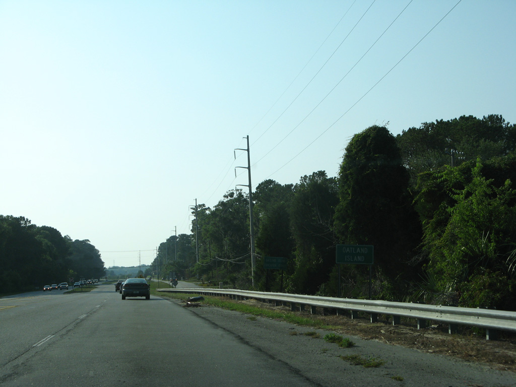
| Angling southeast across Oatland Island, Islands Expressway crosses Richardson Creek. 05/29/07 |
|
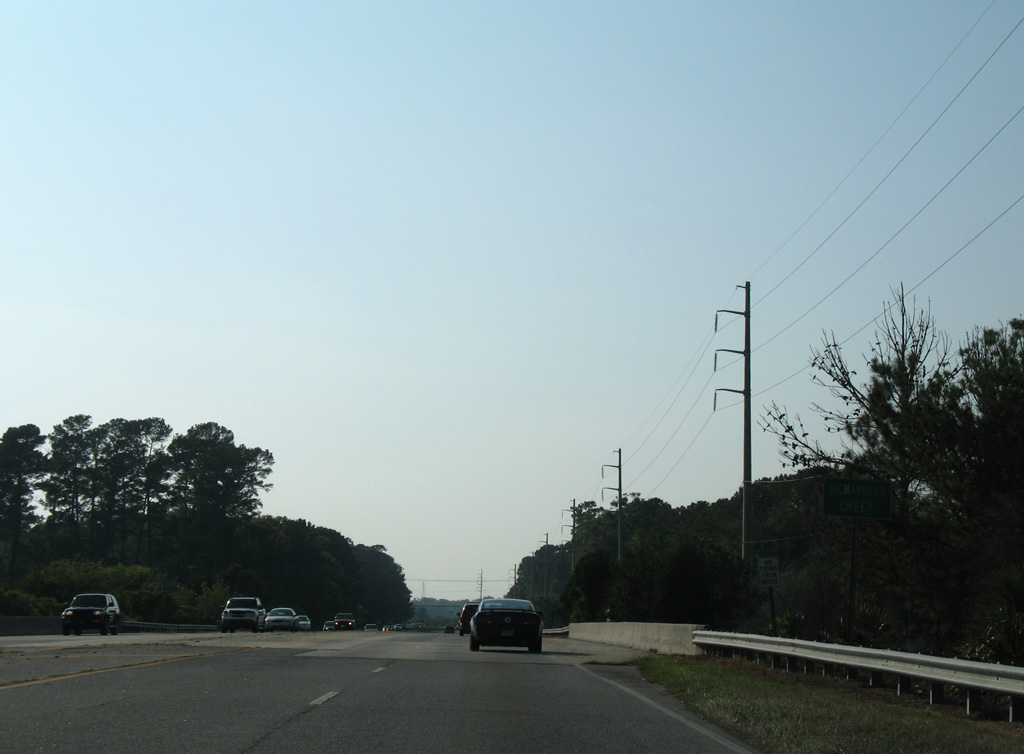
| Islands Expressway east reaches Whitemarsh Island, an unincorporated community surrounded by marshland and the waters of Wilmington River and Turner Creek. 05/29/07 |
|
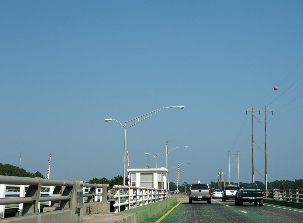
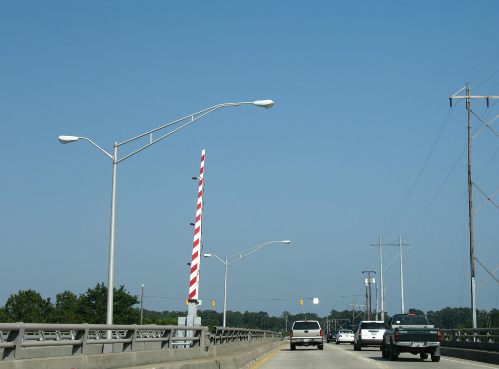
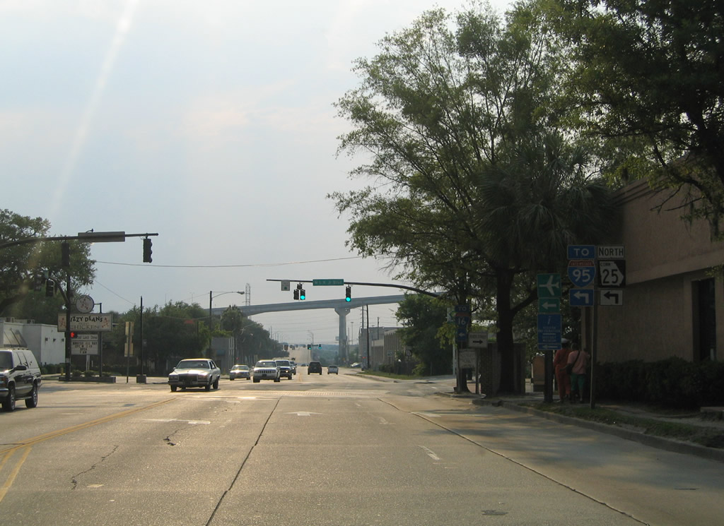
| Islands Expressway merges with U.S. 80 east at a wye interchange across from Island Towne Center retail plaza. 05/29/07 |
|
| A right turn lane provides access to U.S. 80 west to Johnny Mercer Boulevard and back across the Intracoastal Waterway to Thunderbolt. 05/29/07 |
|
| Funding for the two lane flyover taking motorists from Islands Expressway east onto U.S. 80/SR 26 out toward Tybee Island was included in a package of road improvements approved by Chatham County voters in 1989.5 05/29/07 |
|
| Island Expressway branches north from U.S. 80 on Whitemarsh Island ahead of Richardson Creek. 05/29/07 |
|
| Island Parkway travels across Oatland Island. A frontage road lines the north side of the four lane highway, serving adjacent residential areas. 05/29/07 |
|
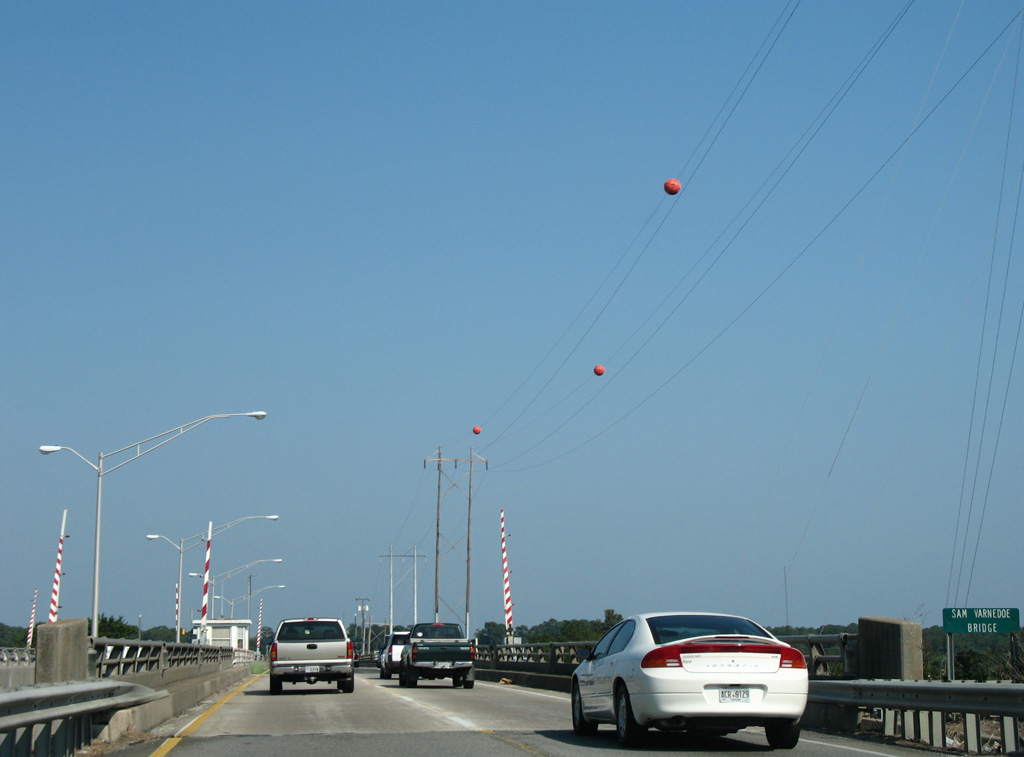
| The Sam Varnedoe Bridge spanned the Wilmington River / Intracoastal Waterway west from Oatland Island to Causton Bluff. 05/29/07 |
|
| The former Sam Varnedoe Bridge comprised a pair of single leaf bascule bridges constructed in 1963.2 The westbound bridge was around 834 feet in length. The eastbound bridge, formerly located at Thunderbolt for U.S. 80, was around 800 feet in length. 05/29/07 |
|
| What was the last drawbridge in Chatham County, the Island Expressway span over the Wilmington River was replaced with a fixed high level span providing 65 feet of vertical clearance for vessels.3 05/29/07 |
|
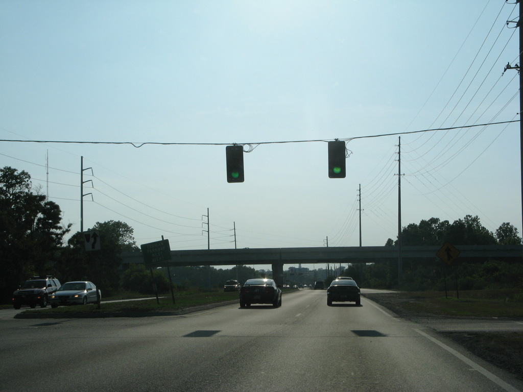
| Islands Expressway transitions to President Street at this railroad crossing and the intersection with Kerr-McGee Road north. 05/29/07 |
|
| Passing between industrial plants and Savannah Golf Club, President Street approaches the north end of Truman Parkway. Built by Chatham County, the $182 million roadway wraps around the east and south sides of Savannah from President Street to SR 204 (Abercorn Street Extension). The link south from President Street to Henry Street was completed in June 1997.6 05/29/07 |
|
| A half cloverleaf interchange joins President Street with Truman Parkway less than a mile ahead of the Savannah historic district. 05/29/07 |
|
| Truman Parkway south leads to Thunderbolt, Isle of Hope and Southside Savannah from President Street. 07/25/22 |
|
| Advancing west from Truman Parkway, President Street split with General McIntosh Boulevard, which provided the main route west to Downtown Savannah.
Starting in January 2015, the President Street Project7 rebuilt both President Street and General McIntosh Boulevard, raising both roadways between 5 and 8 feet to offset regular flooding issues. The new roadway for McIntosh Boulevard accommodated development of the site to the northeast. 05/29/05 |
|
| Drivers continuing west along President Street navigated through a signalized intersection as General McIntosh Boulevard angled northwest to Bay Street. The President Street Project reconfigured this intersection as well. 05/29/05 |
|
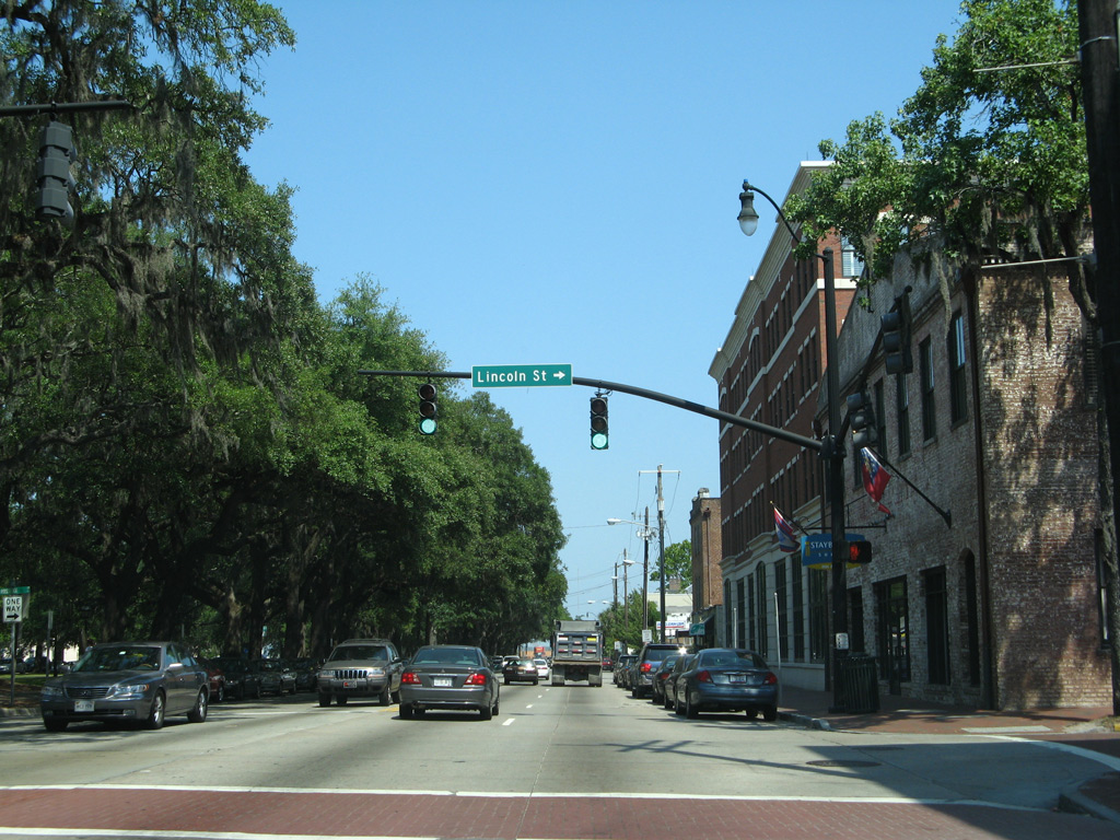
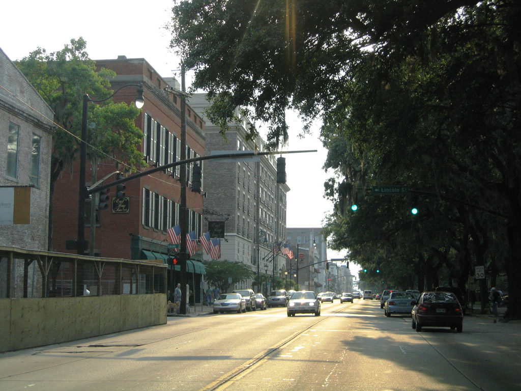
| With four overall lanes, Bay Street extends west from General McIntosh Boulevard through Downtown Savannah. Pictured here is the intersection with Lincoln Street. 05/29/05 |
|
| Bay Street west at Abercorn Street. Abercorn Street is a well known arterial throughout Midtown and Southside Savannah, however through Downtown it is a local street bisected by four of the 21 squares. 05/29/05 |
|
| One block further west at Drayton Street north above Factor's Walk on River Street. 05/29/05 |
|
| Westbound Bay Street at the north end of Bull Street. Bull Street heads south through five of the Historic Downtown squares to Forsyth Park. 05/29/05 |
|
| Whitaker Street ties into Bay Street at the succeeding traffic light along westbound. Access to River Street is provided for pedestrians to the north. 05/29/05 |
|
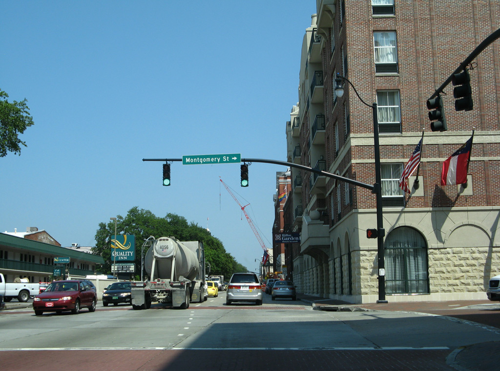
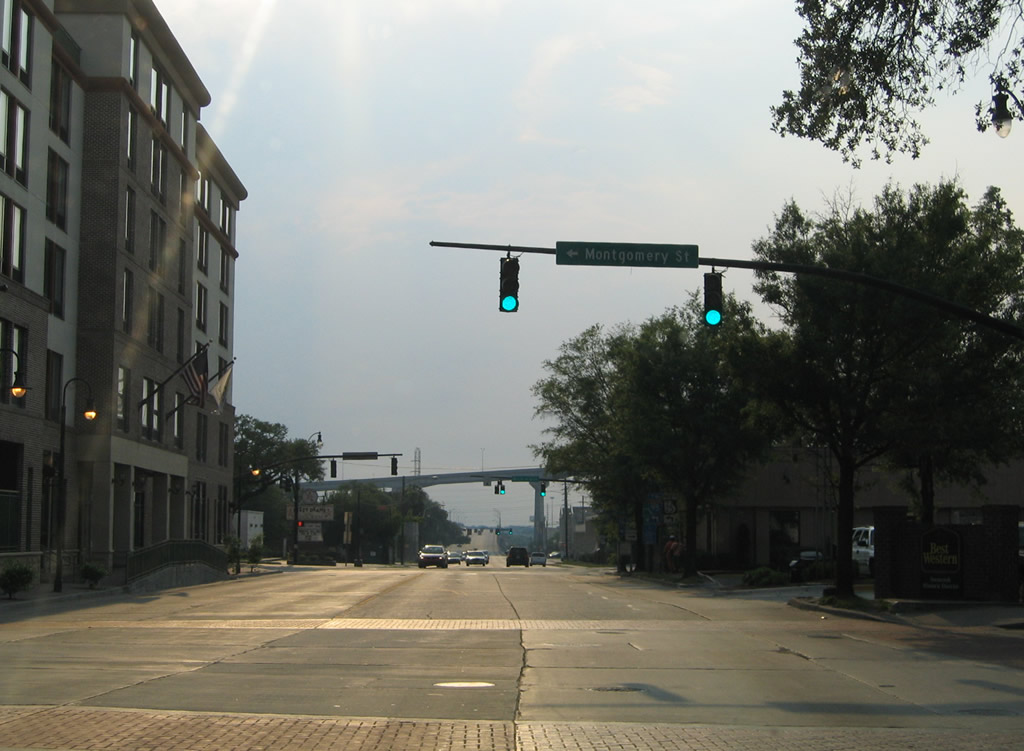
| Bay Street west next intersects Montgomery Street south to Franklin Street. Montgomery Street is the historic alignment of U.S. 17 north / U.S. 80 west. 05/29/05 |
|
| U.S. 17 south / U.S. 80 east used to follow Martin Luther King, Jr. Boulevard (W Broad Street) one block west of Montgomery Street. The four lane urban arterial runs south to Oglethorpe Avenue as a part of SR 25CO, which links the Talmadge Bridge (U.S. 17) with I-516/SR 25 at Garden City. 05/29/05 |
Sources:
- "Drawing Interest - What do Drawbridge Operators Do All Day?" Savannah Morning News (GA), July 31, 1999.
- Wilmington River Bridge. BridgeHunter.com.
- "Chatham County purchases land to replace Sam Varnedoe Bridge." WTOC11 (Savannah, GA) June 25, 2015.
- "Construction Traffic Staging Modification for Project CSBRG - 0007 - 00(128)."
http://engineering.chathamcounty.org/ Portals/engineering/Projects/Staging Plan Change Public Advertisement.pdf Georgia Department of Transportation (GDOT), public announcement.
- "Flyover Muddle." Savannah Morning News (GA), July 13, 1999.
- "Truman Parkway Finished - Almost. Freeway Project Conceived Nearly 90 Years Ago Expected to Open in March." Savannah Morning News (GA), March 1, 2014.
http://www.savannahga.gov/1667/ President-Street-Project.
- 05/29/05 by AARoads and Carter Buchanan.
- 05/29/07 by AARoads.
- 03/15/10 by AARoads.
- 07/25/22 by AARoads and JP Nasiatka.
Connect with:
U.S. 80
State Route 25 Connector - Savannah
Harry S. Truman Parkway
Page Updated 11-30-2022.