
Truman Parkway is a freeway running 10.81 miles north from SR 204 (Abercorn Street) to President Street in the city of Savannah. Originally referred to as the Casey Canal Parkway due to the parallel waterway, the proposed highway was renamed for former President Harry S. Truman after his death in 1972.1 The Truman Parkway is not part of the Georgia state route system, nor is it planned as an Interstate highway. Instead the freeway is one of a handful of county maintained facilities within the Peach State. Ronald Reagan Parkway east of Atlanta and Veterans Parkway in Savannah are two other two county maintained freeways in Georgia.
Planning for the Truman Parkway dates back to the mid 20th century as part of Savannah's overall arterial plan. Casey Canal Parkway was originally envisioned to join Downtown with South Side Savannah to augment existing roadways. Design work commenced in the 1980s for a four lane at-grade arterial.1 However residents objected to that and indicated a preference for a higher speed route. So design plans for Harry S. Truman Parkway were revised to a limited access highway. Road work began on Phase I in April 1990 and Phase II in August 1994.2
Phase I (President Street south to Henry Street) and Phase II (Henry Street south to DeRenne Avenue) opened to traffic in June 1993 and June 1997 respectively.2 Issues arose with the construction of Phases III (DeRenne Avenue south to Montgomery Cross Road) and Phase IV (Montgomery Cross Road to Whitefield Avenue) surrounding environmental, social and political impacts. Extreme considerations where made along the planned course of Truman Parkway in southeast Savannah due to numerous new developments along the route, the location of the Bacon Park Golf Course and a regional hospital, the clean-up involved with a lead-contaminated landfill, and the displacement of environmentally sensitive wetlands.1 Designers took this into account, selecting a corridor that minimized or augmented these issues.
Construction on Phase III (DeRenne Avenue to Montgomery Crossroad) started in January 2000. Delays due to lawsuits and community opposition to the Montgomery Crossroad interchange design resulted in the split of the phase, with the DeRenne Avenue to Eisenhower Drive section open on March 19, 2004 and the remaining stretch south to Montgomery Crossroad completed on November 11, 2004. Paid for with federal, state and local tax money, Phase III cost $27 million.2,3 with Phase IV opening on September 22, 2005 at a cost of $16 million.3 The completion of these segments provider motorists with a seamless route from the Sandfly and Isle of Hope communities northward to Downtown Savannah by way of President Street.
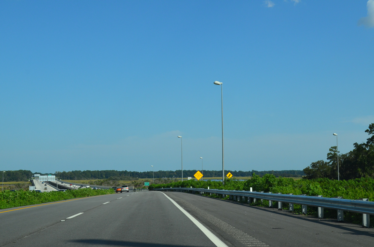
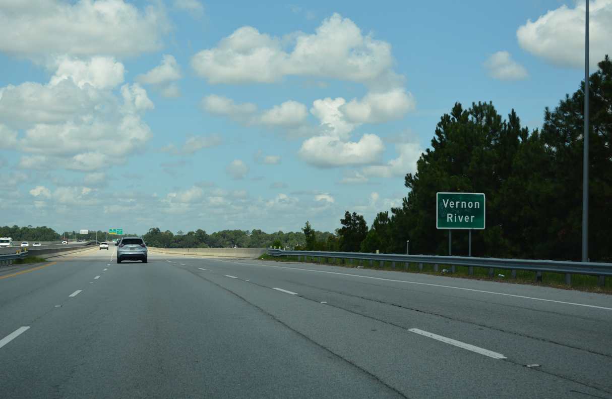
Work began on Phase V in March 2010.4 Extending the parkway west from Whitefield Avenue (former SR 204 Spur) to SR 204 (Abercorn Street Extension) near Holland Avenue, Phase V was deemed complete following a ribbon cutting ceremony held on February 28, 2014. The $128 million4 phase includes the Vernon River bridge, one of three sets of spans along the 2.08 mile long segment. Opening of Phase V to traffic followed on March 14, 2014.5
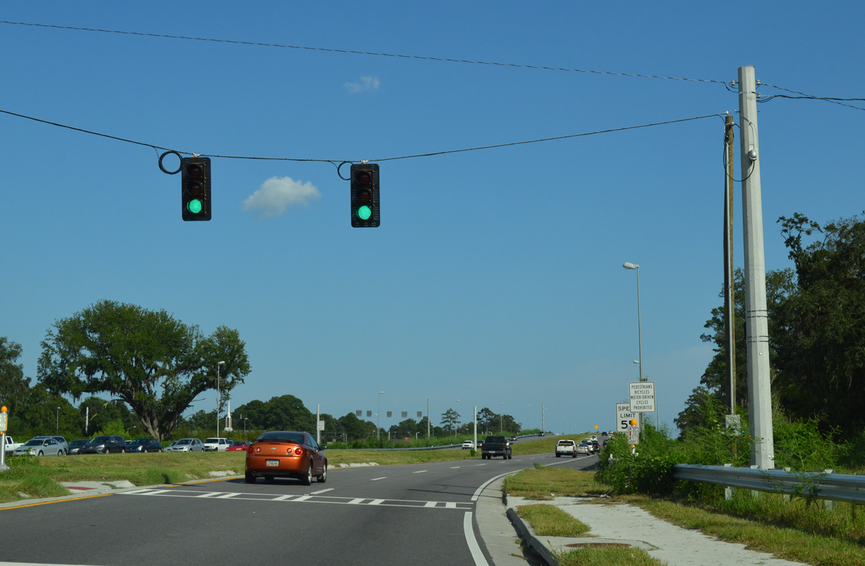
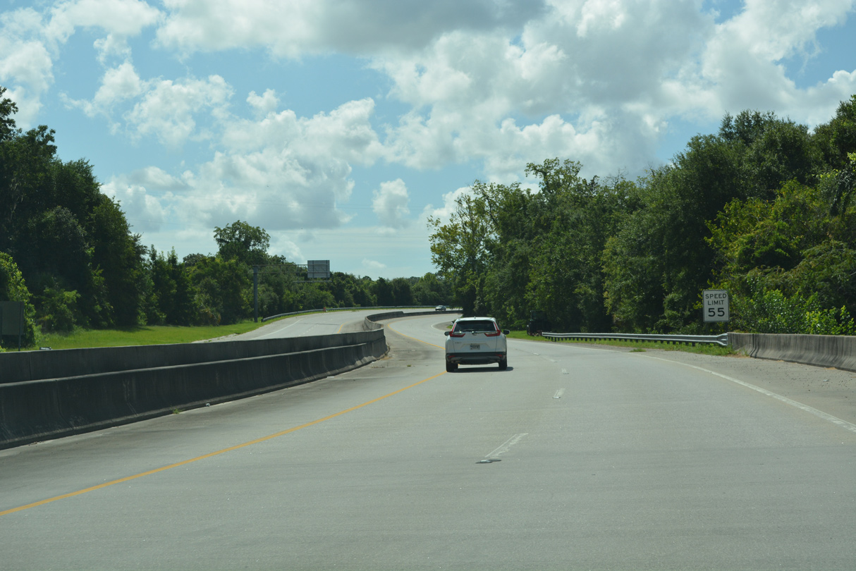
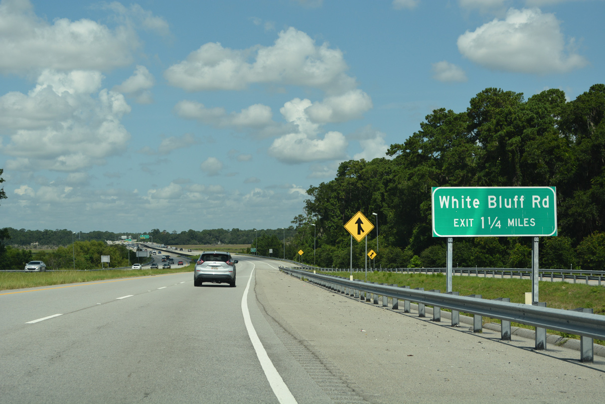
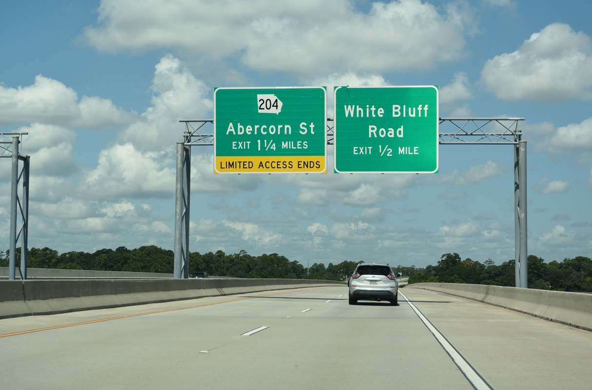
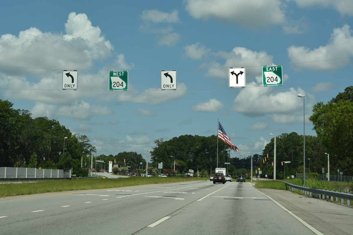
Truman Parkway begins from SR 204 (Abercorn Street) eastbound at Southside Savannah. A signalized crosswalk precedes the half diamond interchange with White Bluff Road.
09/22/14
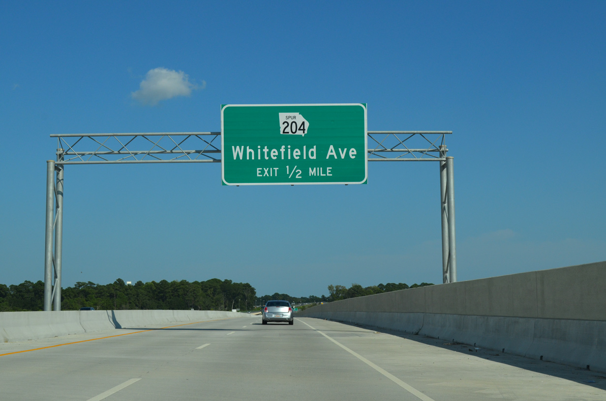
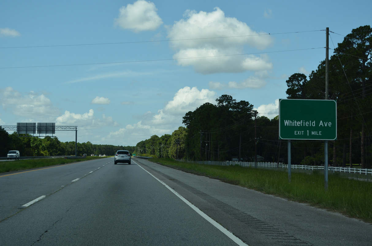
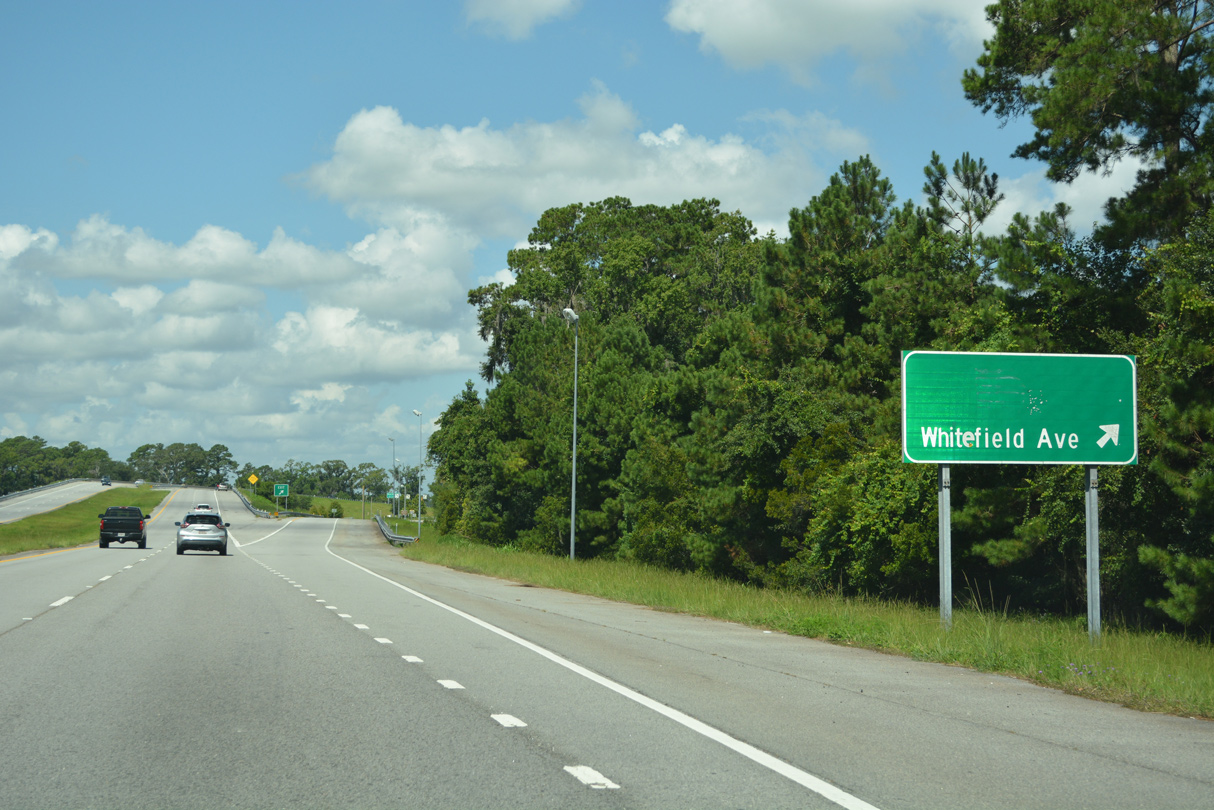
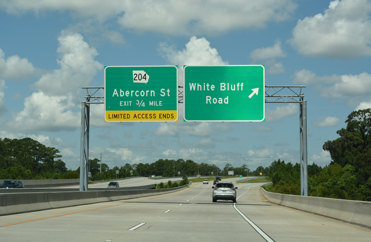
The Abercorn-White Bluff Connector joins SR 204 westbound with Truman Parkway north at the exchange with White Bluff Road. Truman Parkway continues 1.25 miles east to Whitefield Avenue.
09/22/14
09/22/14
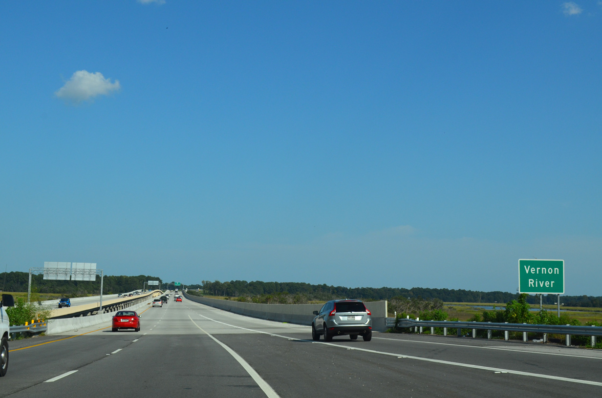
A nearly one mile long bridge system spans the Vernon River and surrounding marshland.
09/22/14
09/22/14
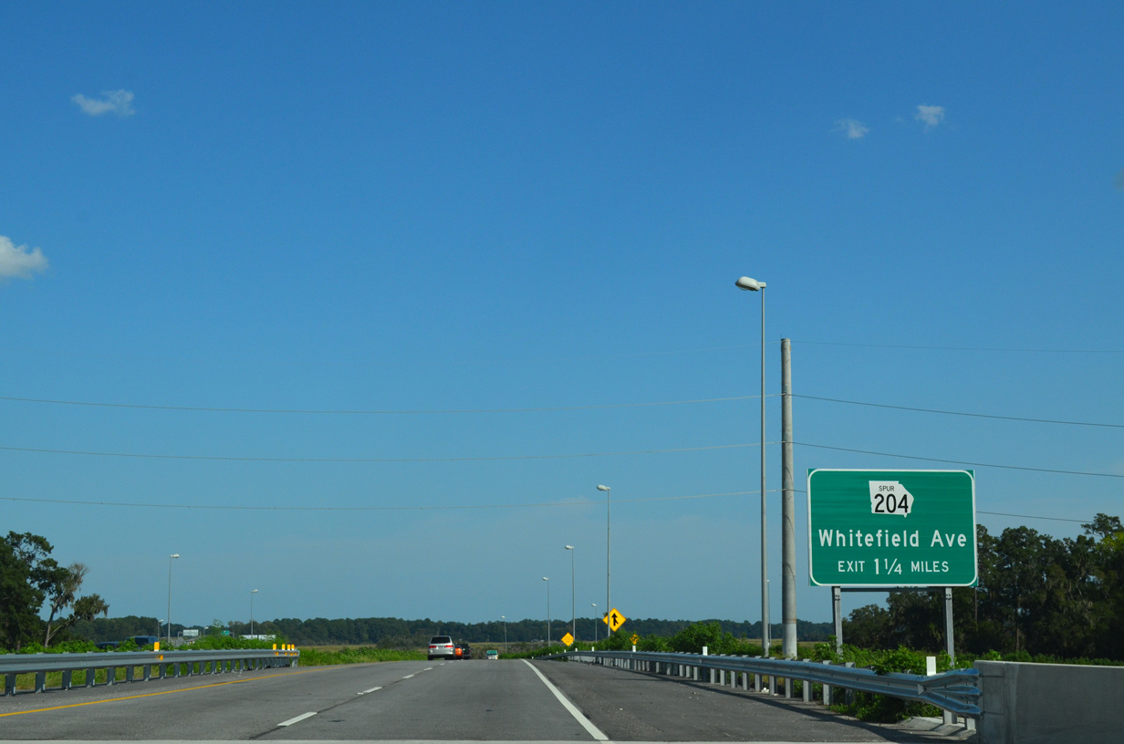
Decommissioned in 2020, SR 204SP (Whitefield Avenue) was a 7.18 mile long route joining Savannah with Skidaway Island.
09/22/14
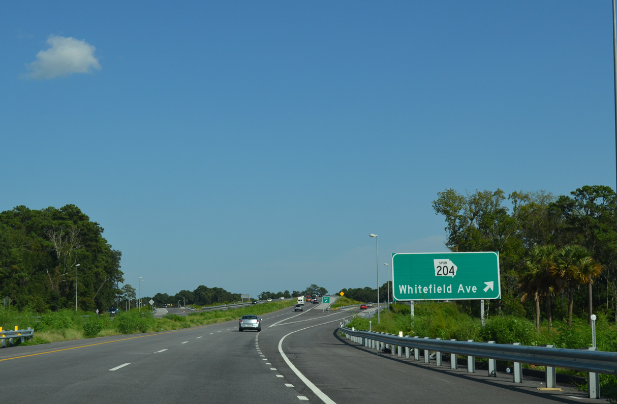
Whitefield Avenue leads north to become Waters Avenue. SR 204SP formerly extended southeast from Whitefield Avenue along Diamond Causeway to Skidaway Island State Park and McWhorter Drive.
09/22/14
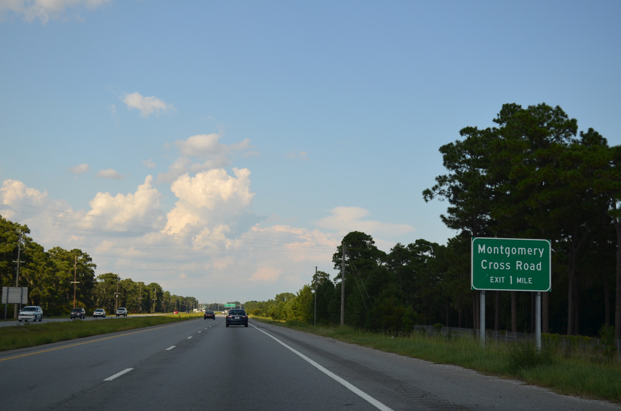
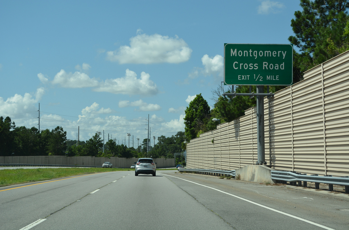
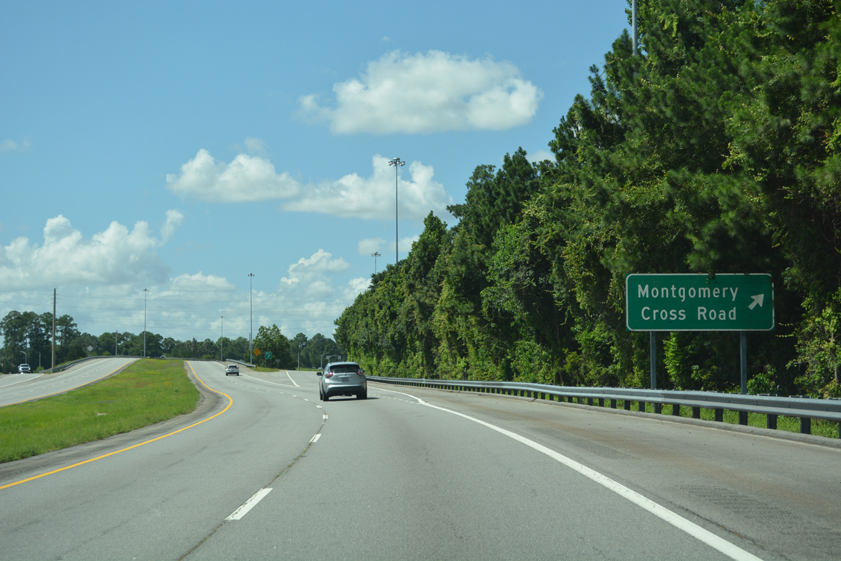
Truman Parkway turns northward from Whitefield Avenue to a diamond interchange with Montgomery Cross Road.
09/22/14
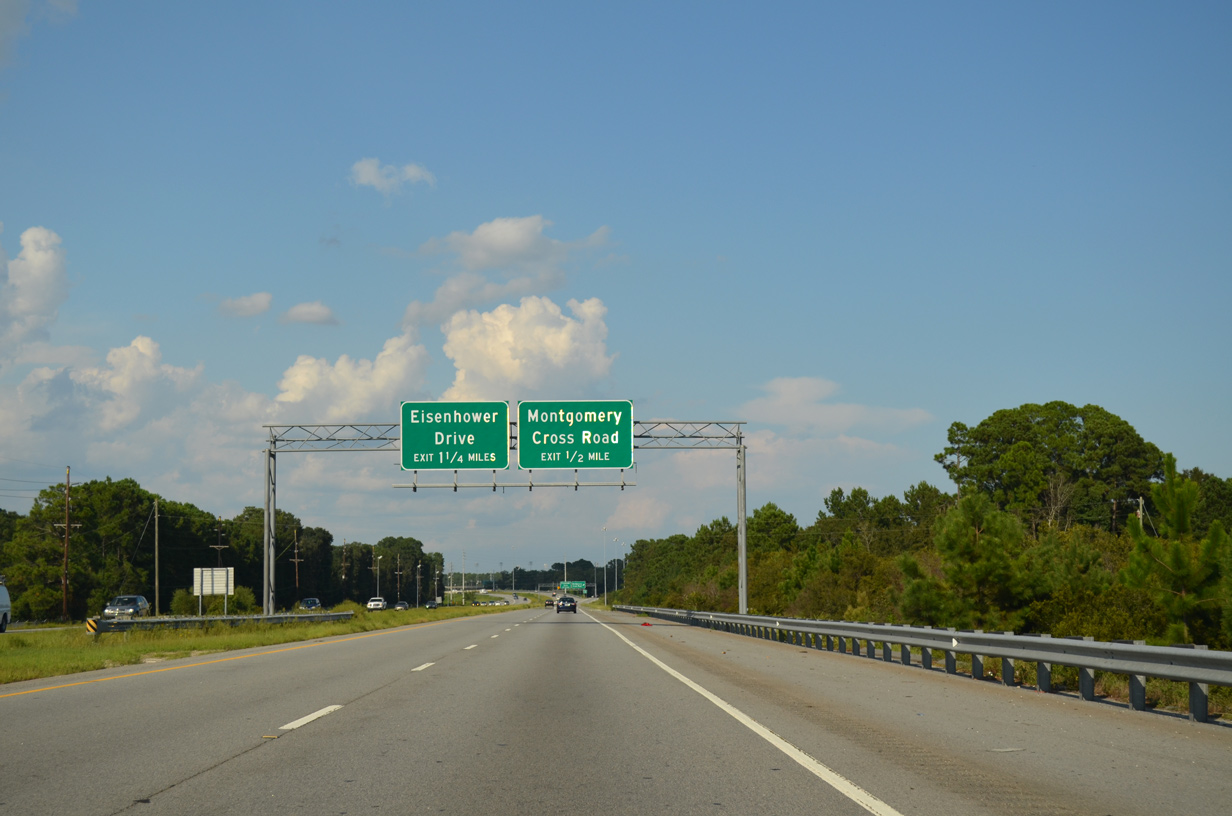
Montgomery Cross Road connects Truman Parkway with Skidaway Road south to the community of Isle of Hope.
09/22/14
Montgomery Cross Road stems west from Skidaway Road nearby 3.05 miles to SR 204 (Abercorn Street).
09/22/14
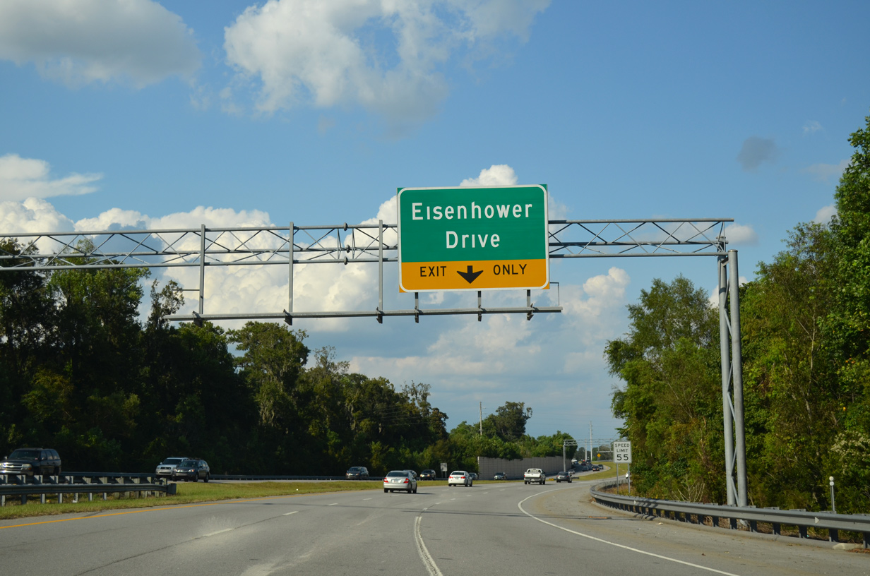
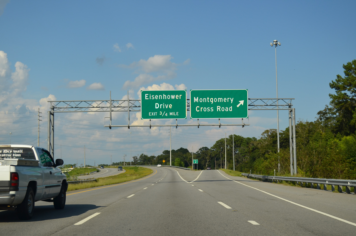
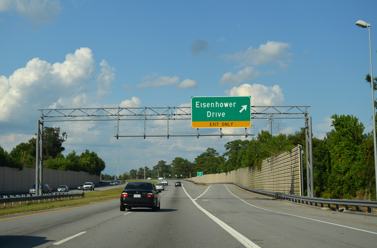
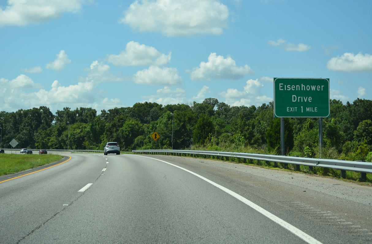
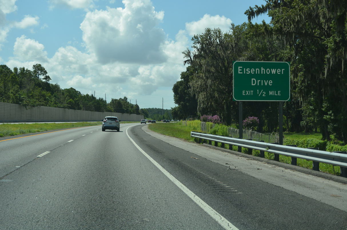
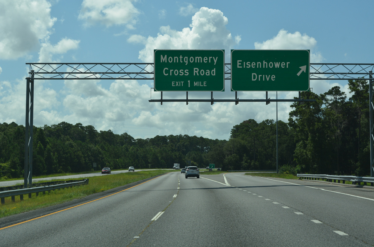
Continuing north, Truman Parkway meets Eisenhower Drive at a parclo interchange west of Beaumont Drive and Skidaway Road.
09/22/14
Eisenhower Drive extends 2.28 miles west from Beaumont Drive to Bacon Park Golf Course, the Highland Park neighborhood and SR 204 (Abercorn Street).
09/22/14
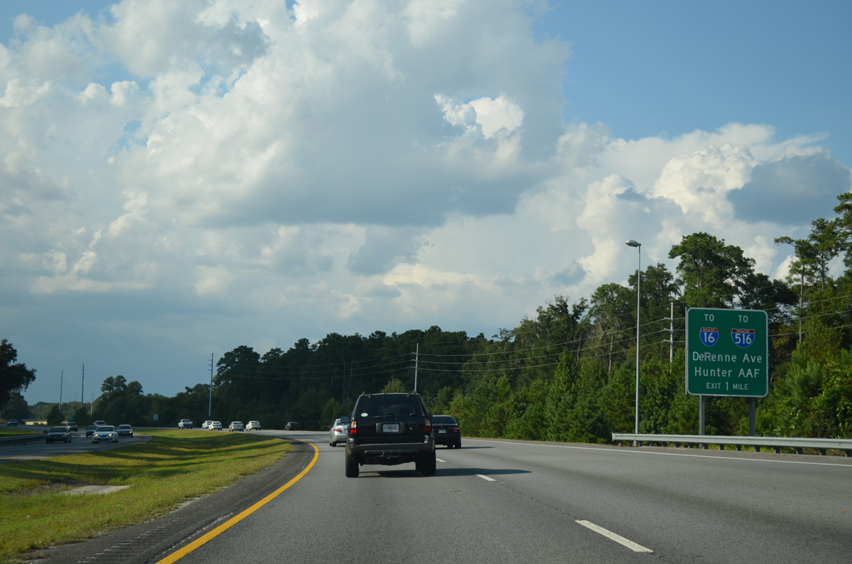
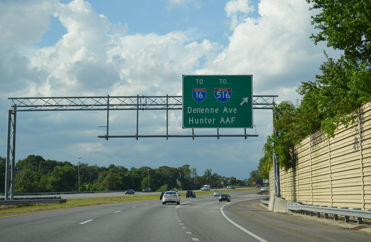
Shifting west alongside Bacon Park Golf Course, Truman Parkway advances to a diamond interchange with DeRenne Avenue.
09/22/14
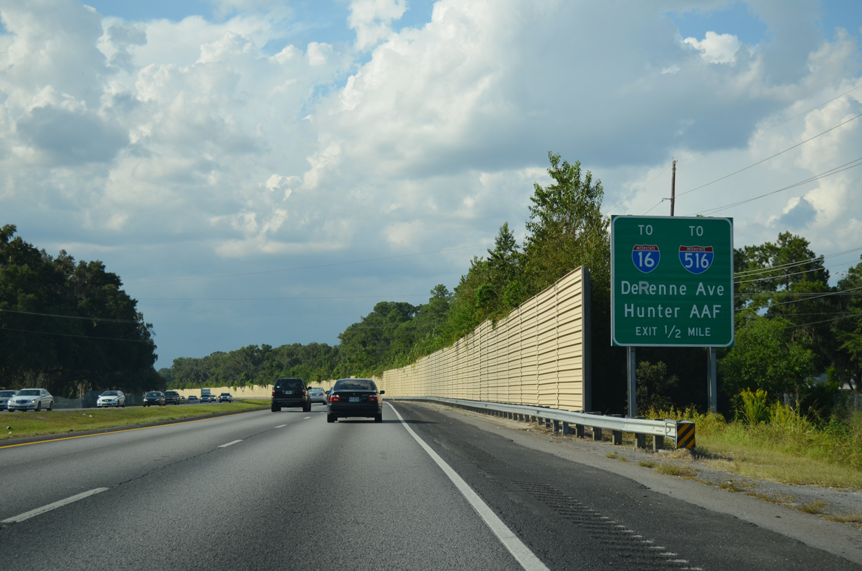
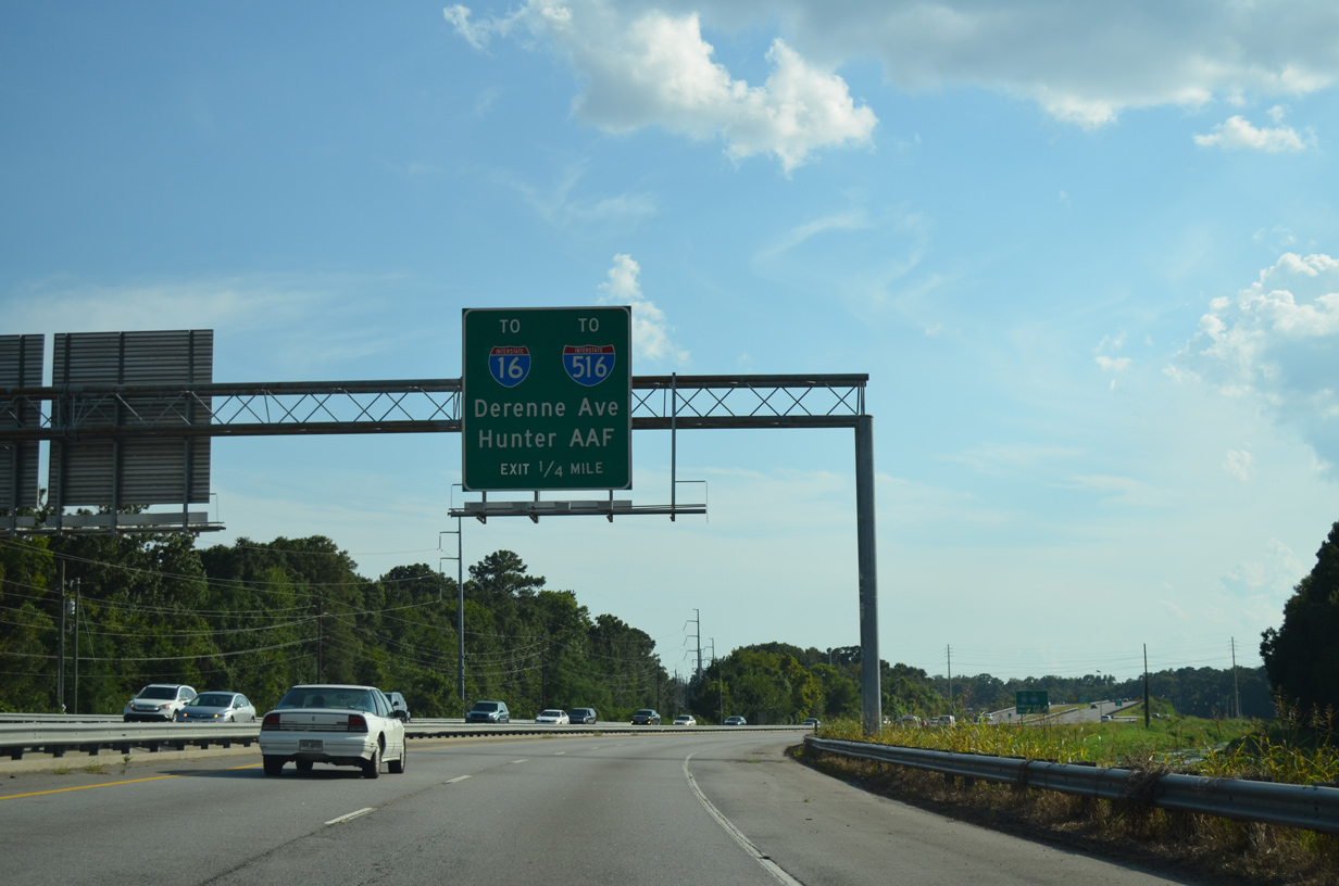
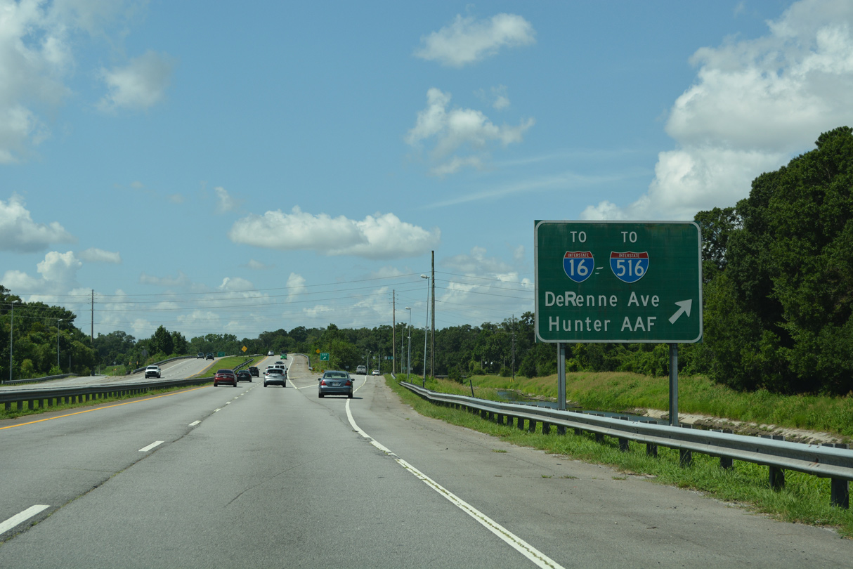
DeRenne Avenue leads west to become a part of SR 21 from Abercorn Street to Interstate 516 (W.F. Lynes Parkway) by Hunter Army Air Field (AAF).
09/22/14
DeRenne Avenue east and Skidaway Road north forma 3.67 mile long arterial loop between SR 21/204 (Abercorn Street) and U.S. 80/SR 26 (Victory Drive).
09/22/14
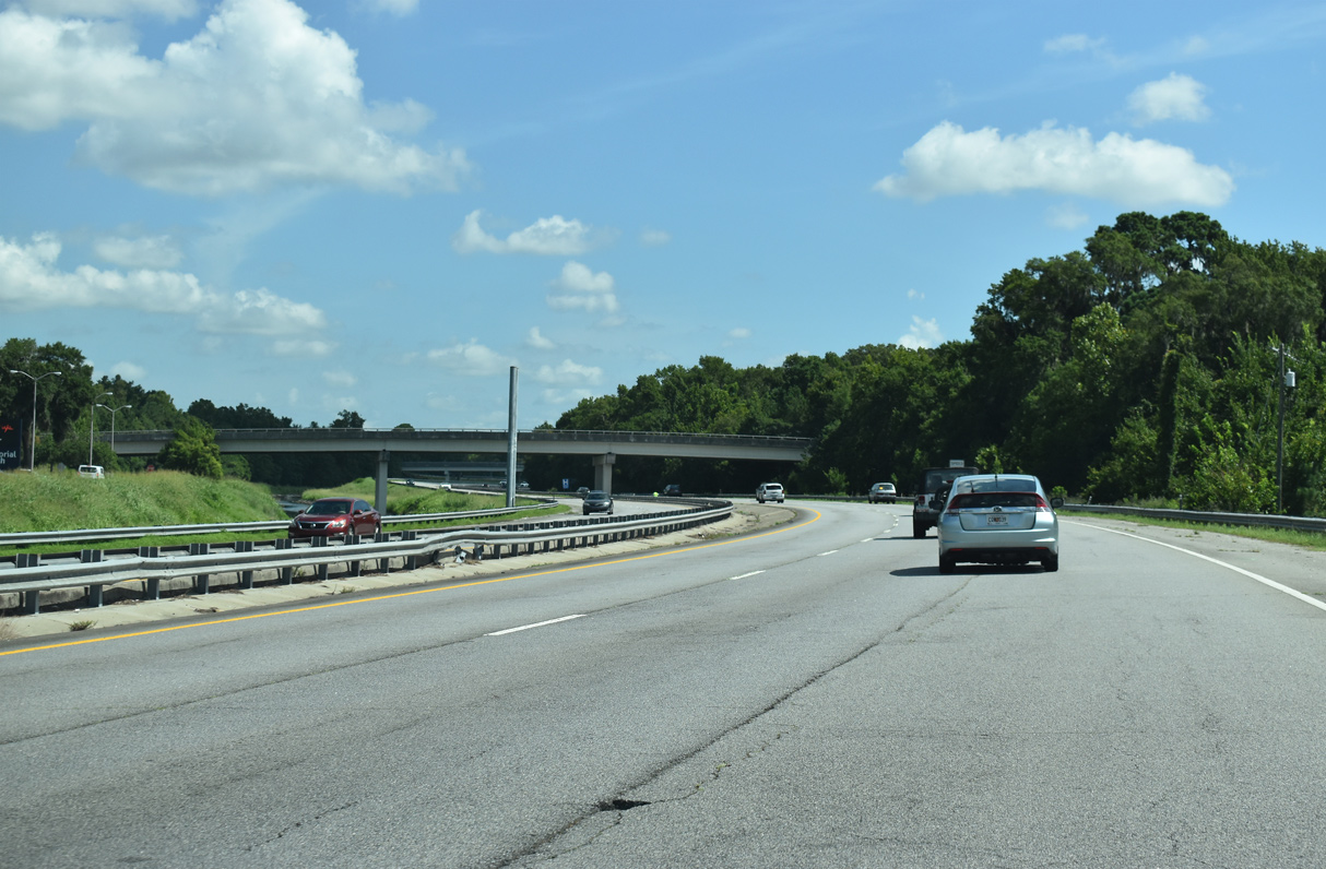
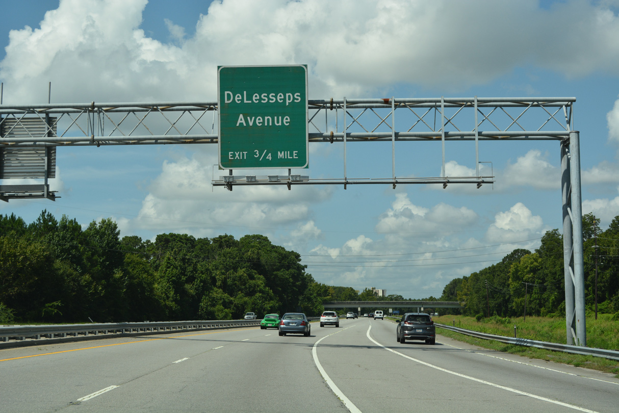
Paralleling Casey Canal, Truman Parkway proceeds a quarter mile from the Reuben Clark Drive overpass to DeLesseps Avenue.
09/22/14
07/25/22
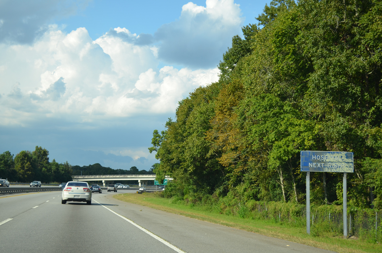
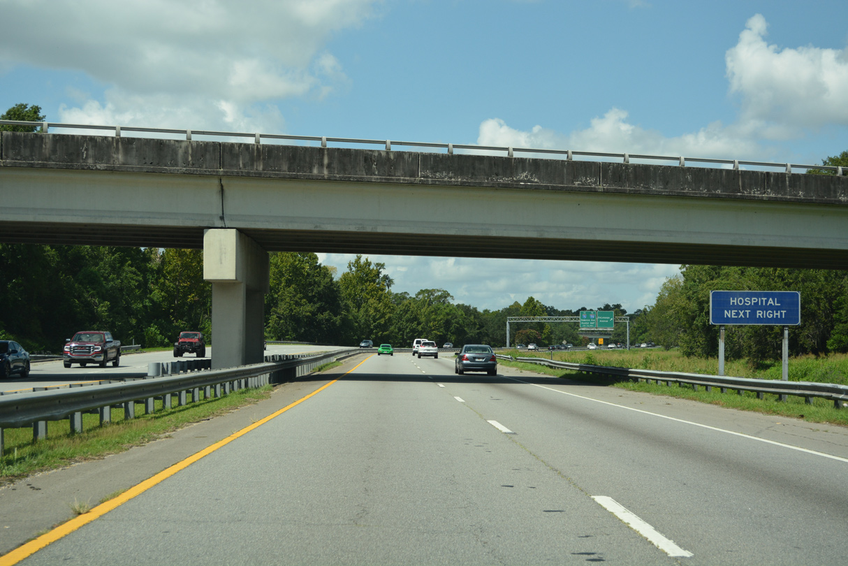
Memorial Health University Medical Center lies just west of Truman Parkway and Casey Canal.
09/22/14
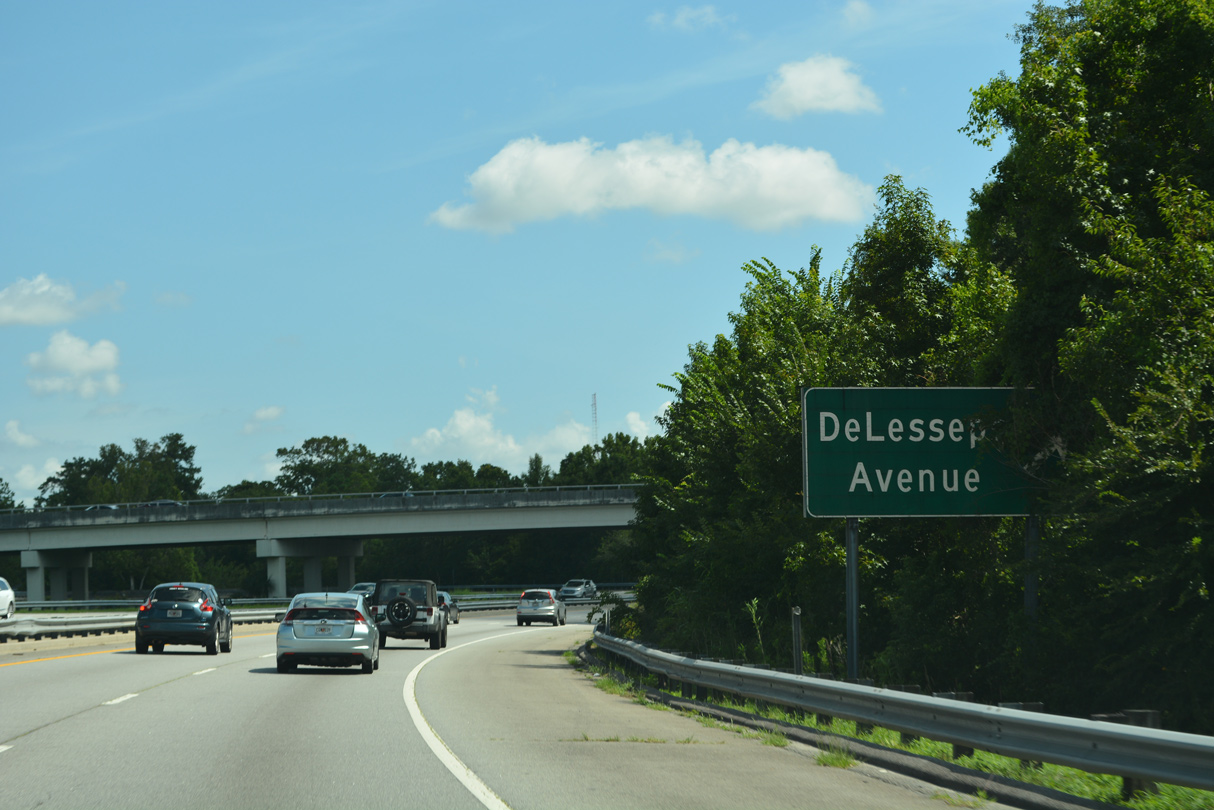
A folded diamond interchange joins Truman Parkway with DeLesseps Avenue.
07/25/22
09/22/14
07/25/22
07/25/22
09/22/14
07/25/22
07/25/22
07/25/22
07/25/22
07/25/22
07/25/22
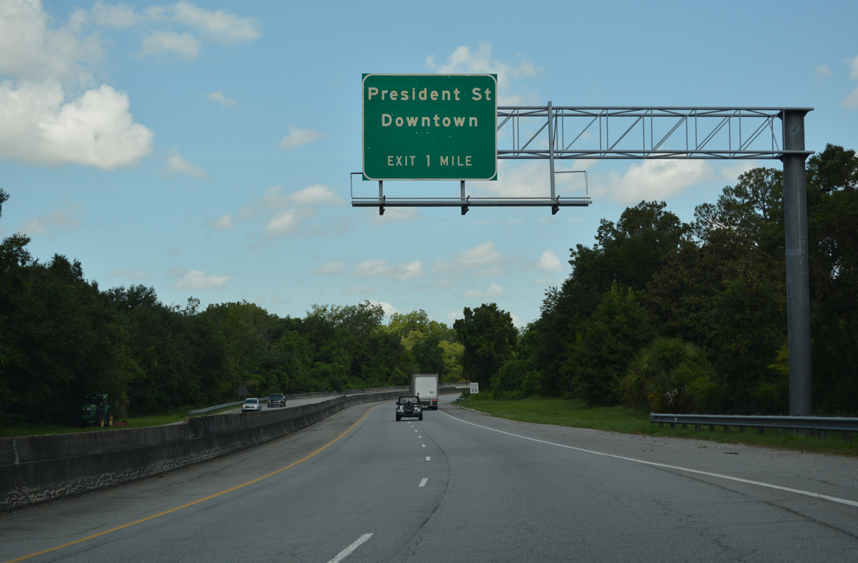
Truman Parkway stems south from a half cloverleaf interchange with President Street east of Downtown Savannah.
07/25/22
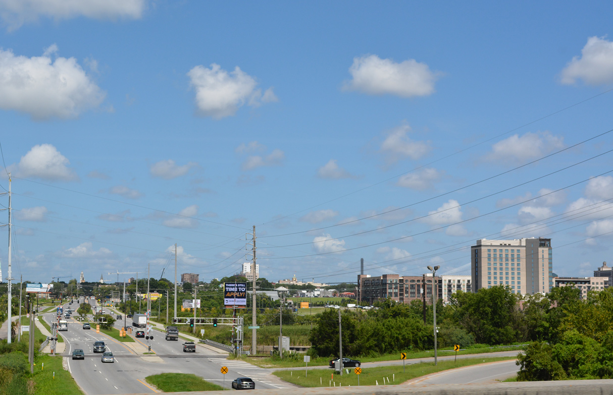
President Street heads west from Truman Parkway by the Riverworks Eastern Wharf and Upper East River developments.
07/25/22

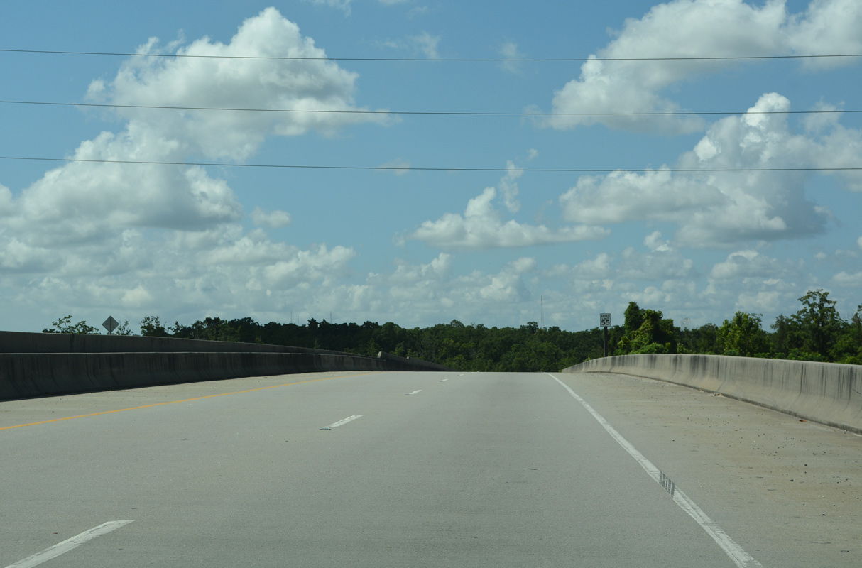
Truman Parkway navigates through a series of S curves along an elevated route south from President Street to Kayton Canal.
07/25/22
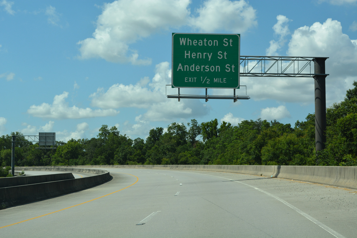
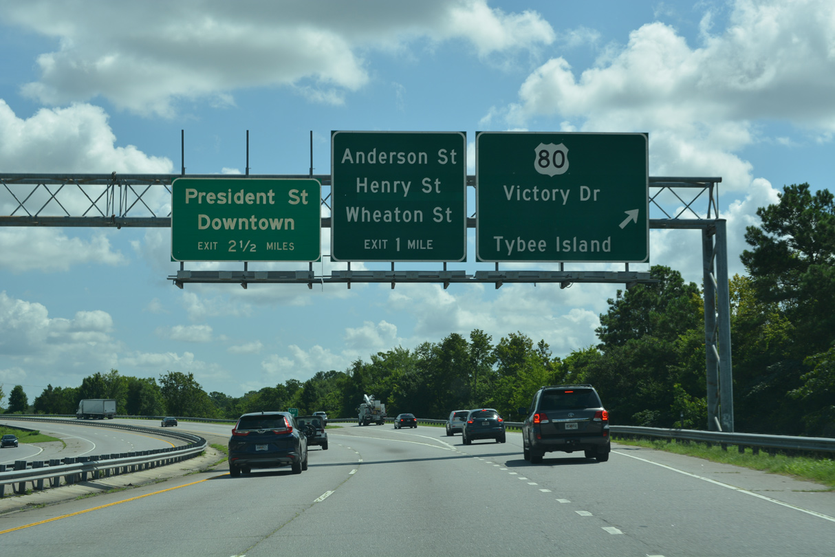
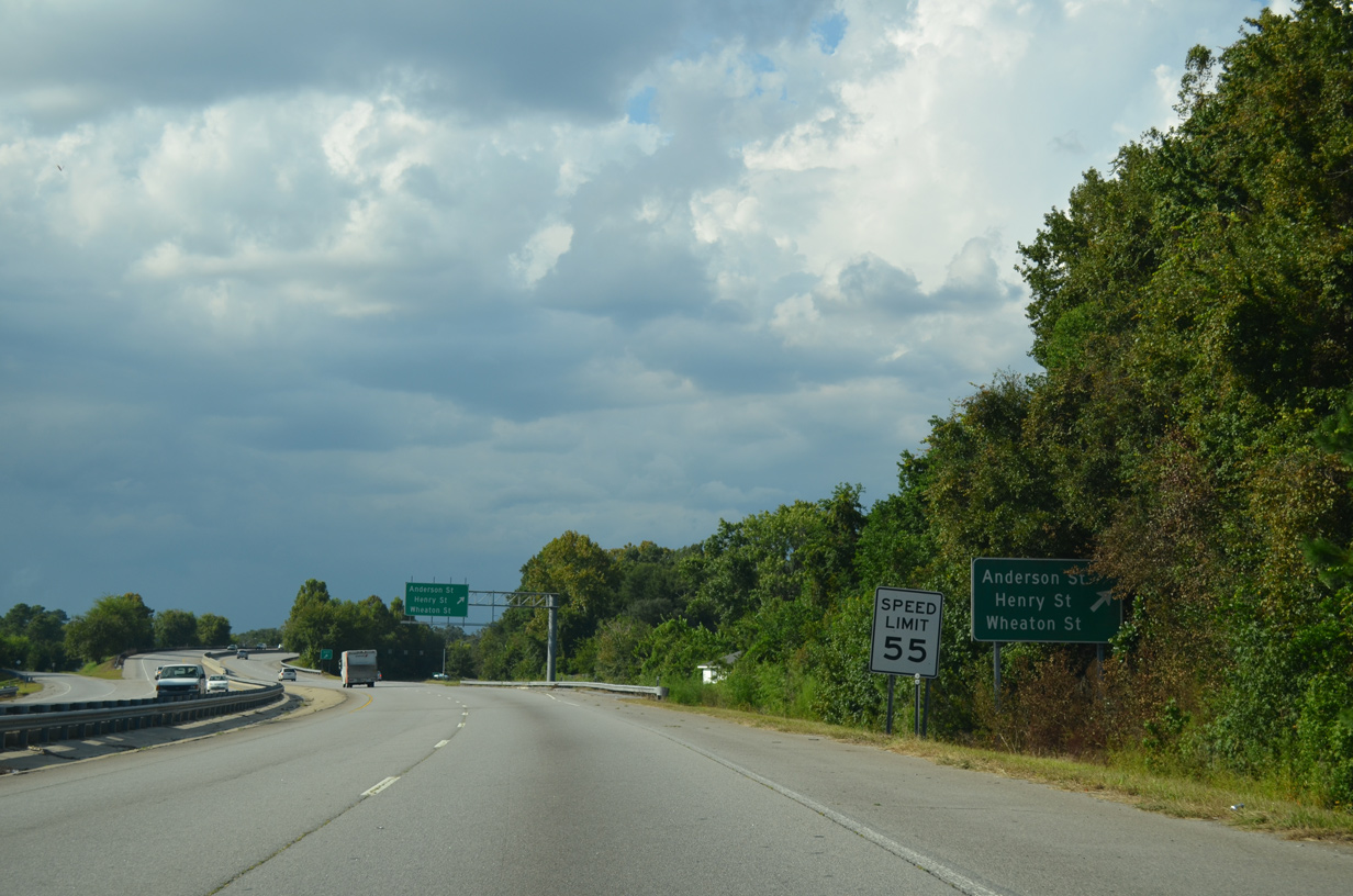
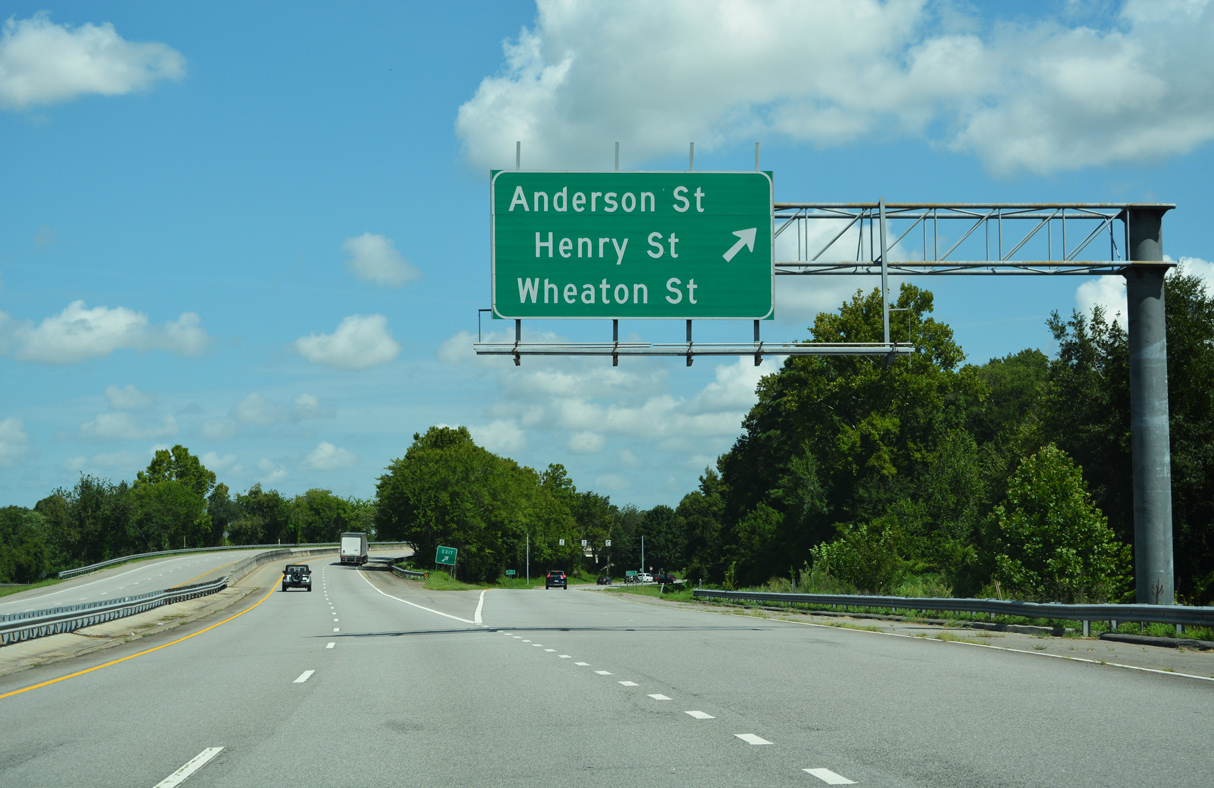
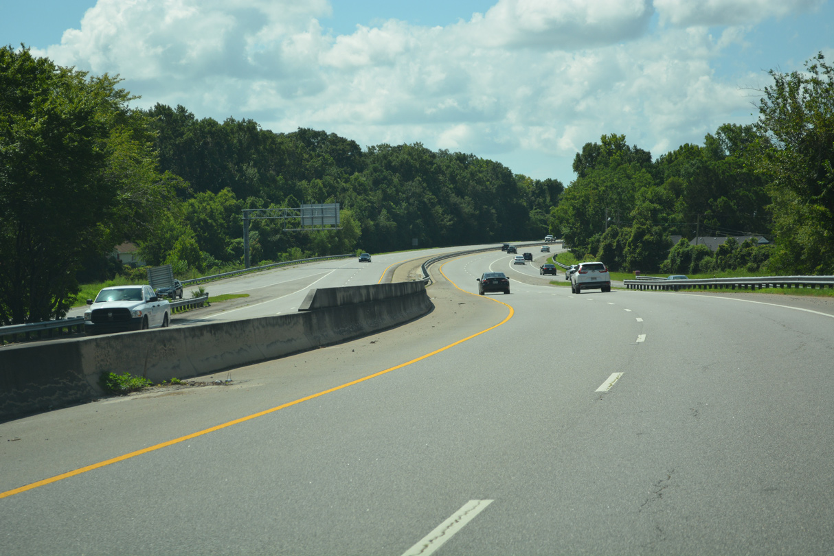
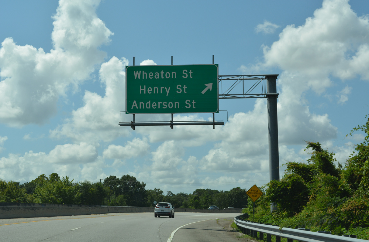
A split diamond interchange connects Truman Parkway with Henry and Anderson Streets south of Wheaton Street.
07/25/22
07/25/22
Cruving south alongside Casey Canal beyond Anderson Street, Truman Parkway advances to a diamond interchange with U.S. 80/SR 26 (Victory Drive).
07/25/22
07/25/22
07/25/22
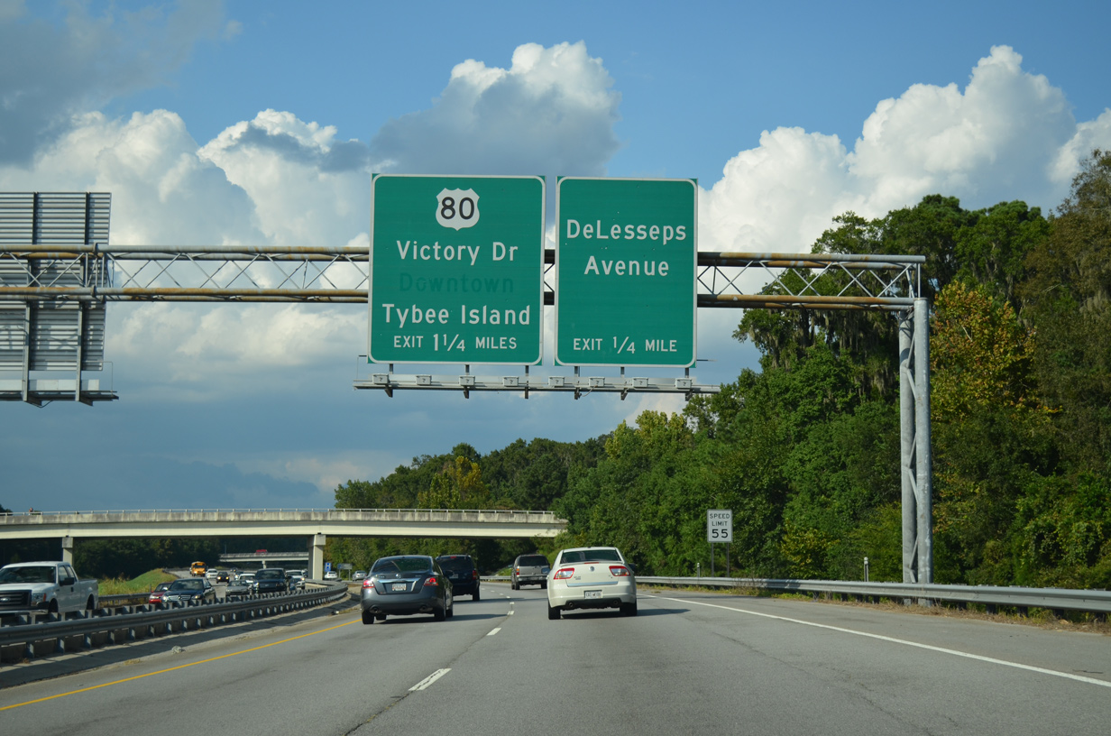
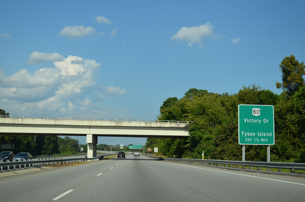
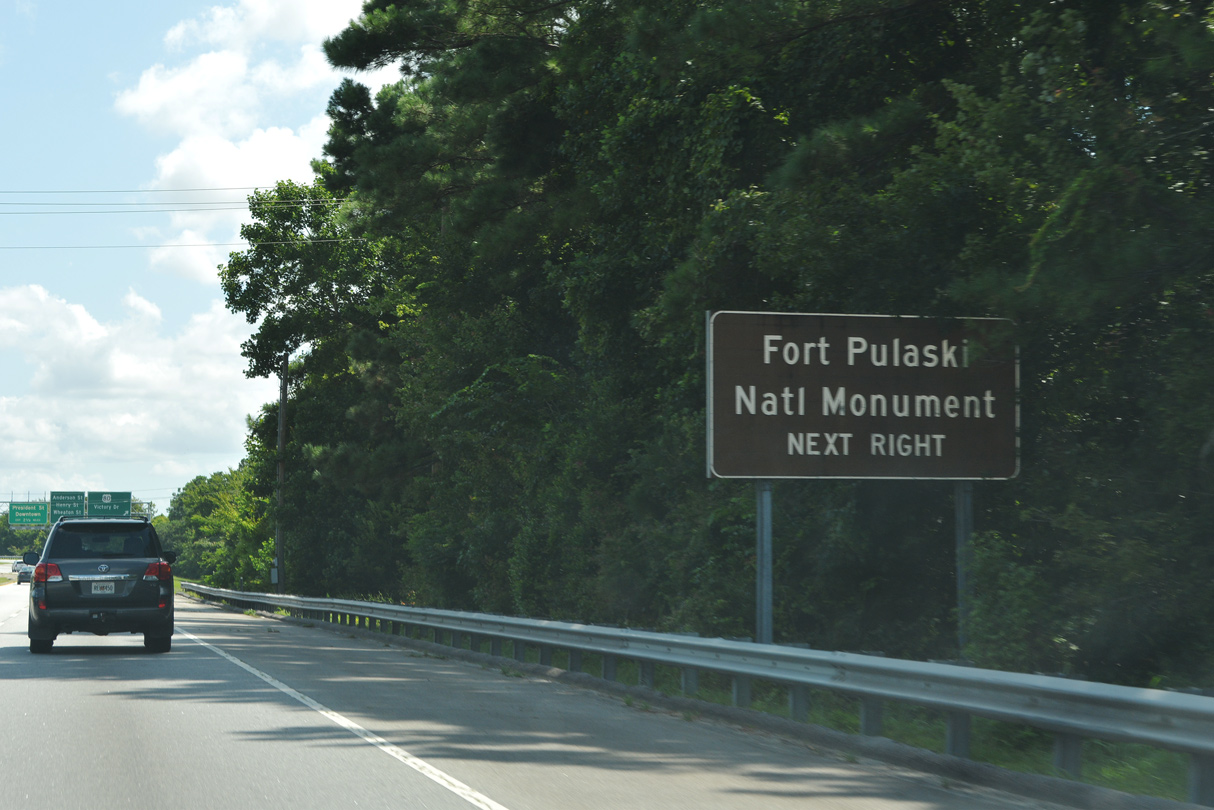
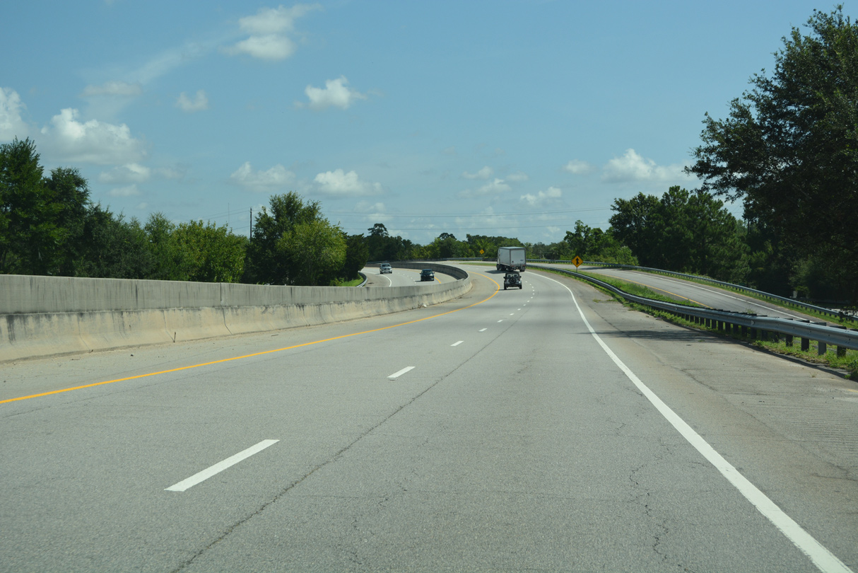
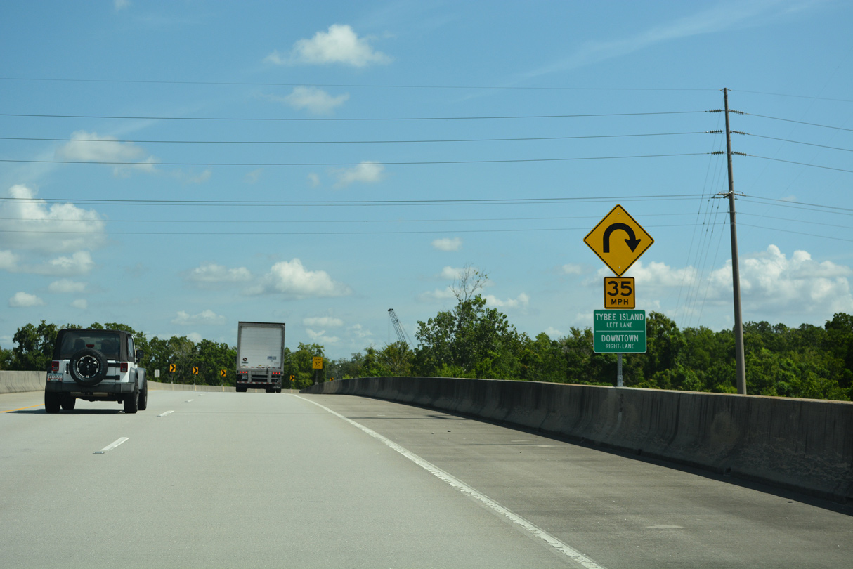
Cruving south alongside Casey Canal, Truman Parkway advances to a diamond interchange with U.S. 80/SR 26 (Victory Drive). U.S. 80/SR 26 extend east from Savannah to Whitemarsh Island, Fort Pulaski and Tybee Island.
07/25/22
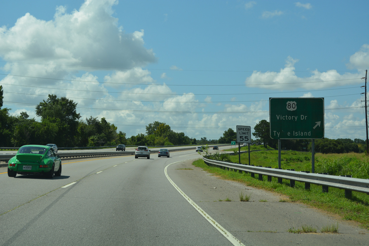
U.S. 80/SR 26 (Victory Drive) meets Truman Parkway between the town of Thunderbolt and Midtown Savannah.
07/25/22
07/25/22
The folded diamond interchange with DeLesseps Avenue joins Truman Parkway with Memorial Health University Medical Center.
07/25/22
07/25/22
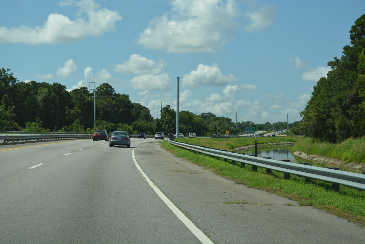
Continuing alongside Casey Canal, Truman Parkway leads to DeRenne Avenue.
07/25/22
DeRenne Avenue runs west from Truman Parkway to Interstate 516 (W.F. Lynes Parkway) at Montgomery Street.
09/22/14
Interstate 516 encircles Savannah to the west from Hunter Army Airfield (AAF) and DeRenne Avenue (SR 21) to Garden City.
07/25/22
07/25/22
07/25/22
07/25/22
Montgomery Cross Road extends east from SR 204 (Abercorn Street) to Skidway Road near the community of Isle of Hope.
07/25/22
Montgomery Cross Road 1.33 miles west from Waters Avenue to SR 204 (Abercorn Street) was formerly a part of SR 204SP.
07/25/22
Truman Parkway south from Montgomery Cross Road to Whitefield Avenue (old SR 204SP) opened on September 22, 2005.
07/25/22
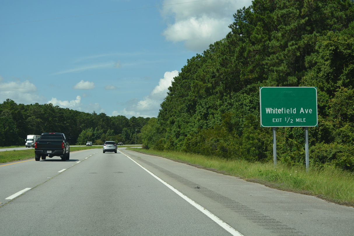
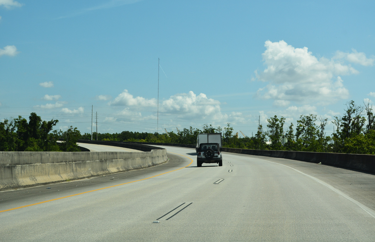
Truman Parkway curves west into the diamond interchange with Whitefield Avenue. SR 204SP was decommissioned in 2020.
07/25/22
Whitefield avenue leads south to Diamond Causeway, which connects Savannah with Skidaway Island.
07/25/22
Truman Parkway runs 1.25 miles west from Whitefield Avenue to a half diamond interchange with White Bluff Road.
07/25/22
07/25/22
07/25/22
Truman Parkway meets White Bluff Road beyond the Vernon River.
07/25/22
07/25/22
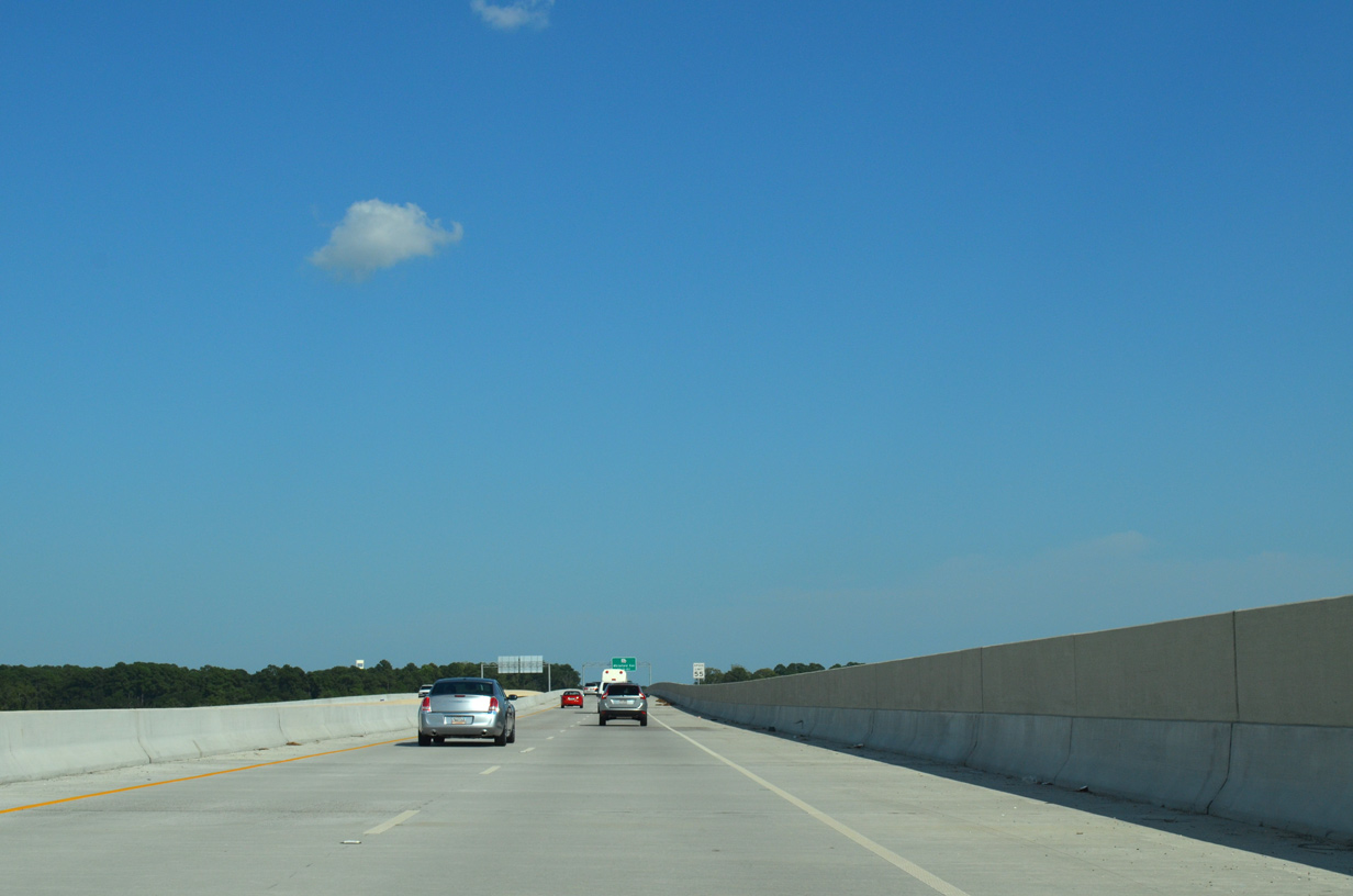
Truman Parkway concludes at an at-grade intersection with SR 204 (Abercorn Street) at Southside Savannah.
07/25/22
SR 204 (Abercorn Street) heads west to Georgetown and I-95 north of Richmond Hill.
07/25/22
- "HST Parkway in Savannah - An Engineer's Biggest Challenge!"
http://www.highwayengineers.org/ scanner030403b.htmlAmerican Society of Highway Engineers: Scanner Magazine, March 3, 2004. - "Truman Opens Today - Sandfly Residents Had Fought the Montgomery Crossroads Interchange That Will Dump Traffic Into Their Community." Savannah Morning News (GA), November 11, 2004.
- "New Truman Parkway Section to Open - Residents are Worried about the Whitefield Road Widening Project." Savannah Morning News (GA), September 6, 2005.
- "Truman Parkway Finished - Almost Freeway project Conceived Nearly 90 Years Ago Expected to Open in March.H." Savannah Morning News (GA), March 1, 2014.
- "Truman Parkway Extension Open - Finally." Savannah Morning News (GA), March 15, 2014.
Connect with:
U.S. 80
State Route 204
Former State Route 204 Spur
Islands Expressway - Former Toll U.S. 80
Page Updated 11-30-2022.