Interstate 10 passes under County Road 4 (Antioch Road) in west Crestview. 11/23/08
Eglin Air Force Base separates coastal Okaloosa County from Crestview, the county seat, and the rural northern half. County Roads generally exist north of Interstate 10 in a partially signed fashion. County Roads in Niceville and Destin are all unsigned with the exception of County Road 2378 (which officially exists as County Road 30). County Roads are numbered between the 100 and 300 series to coincide with State Roads 10 and 30. A few exceptions exist in the form of County Road 602 and three unsigned urban routes in Crestview.
| County Road |
West / South End |
East / North End |
Mileage |
Signed? |
| 2 |
Laurel Hill - CR 85A |
Walton County line - CR 2 |
6.43 |
Partially |
2 |
south of Laurel Hill - SR 85 |
southeast of Laurel Hill - CR 2 |
3.10 |
No |
| 2 |
Blackman - SR 189 |
south of Laurel Hill - SR 85 |
9.43 |
Yes |
| 4 |
east of Milligan - US 90 |
southwest Crestview - Garrett Pit Rd |
3.02 |
Partially |
| 4A |
east of Cotton Bridge - SR 4 |
north of Baker - SR 189 |
2.52 |
Yes |
| 4B |
south of Baker - CR 189 |
SR 4 |
1.21 |
Yes |
30B |
Destin - US 98 |
Destin - Sibert Avenue |
1.16 |
No |
| 30F |
Destin - west of Main Street |
Destin - US 98 |
1.64 |
No |
| 85A |
Laurel Hill - SR 85 |
east Laurel Hill - SR 85 |
1.26 |
Yes |
85A |
Alabama state line |
Laurel Hill - SR 85 |
4.43 |
Yes |
| 85A |
north of Garden City - SR 85 |
Clear Springs |
4.14 |
No |
| 180 |
Alabama state line |
Escambia Farms - SR 189 |
7.44 |
Yes |
| 188 |
Crestview - US 90 |
Garden City - SR 85 |
12.40 |
Partially |
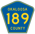
| 189 |
south of Holt - I-10 |
Holt - US 90 |
1.23 |
Yes |
| 189 |
Galliver - US 90 |
Baker - SR 4 |
4.51 |
Yes |
| 189A |
west of Baker - Gerald Brooks Rd |
west of Baker - SR 4 |
2.52 |
No |
190 |
Niceville - SR 85 |
Niceville - SR 285 |
2.05 |
Partially |
| 280A |
Downtown Crestview - near Main Street |
near Shoffner City - US 90 |
2.67 |
No |
280A |
Crestview - Pandora Drive |
Crestview - Anderson Street |
0.68 |
No |
| 285 |
Niceville - SR 20 near SR 85 |
Niceville - SR 85 at Partin Drive |
0.89 |
No |
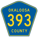
| 393 |
Deerland - US 90 |
Svea - SR 85 |
15.70 |
Yes |
397 |
Milligan - US 90 |
north of Milligan - Buck Ward Road |
1.09 |
No |
| 602 |
east of Oak Grove - CR 2 |
Almarante - SR 85 |
5.23 |
Yes |
0711 |
Crestview - SR 85 |
east Crestview - US 90 |
1.85 |
No |
1777 |
west Crestview - Griffith Avenue |
west Crestview - CR 280A |
1.20 |
No |
1778 |
west Crestview - near Bressler Street |
Crestview - SR 85 |
0.70 |
No |
| 2378 |
east Destin - Mathew Boulevard |
Walton County line (CR 2378) |
2.22 |
Partially |
| 2378 |
Destin - US 98 |
June White Decker Park |
0.24 |
Yes |
Construction of PJ Adams Parkway replaced County Road 4 (Antioch Road) eastward from near Williams Branch. This resulted in 2.583 miles of Antioch Road, from Garrett Pit Road east to State Road 85, to be turned back in 2011.
|
| Okaloosa County Road 4 (Antioch Road) meets U.S. 90 (James Lee Boulevard) west of Crestview. Note the oddly shaped SR 90 shield used. Not only is the shield unusual for a state road, but it is erroneous in that it should display U.S. 90 instead of SR 90. 11/23/08 |
|
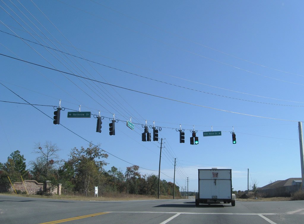
| P.J. Adams Parkway overtakes Okaloosa County Road 4 from Antioch Road east to SR 85 (Ferdon Boulevard) through south Crestview. Traffic lights hang above the intersection of Northview Drive and Wildhorse Drive, subdivision entrances both north and south. 11/23/08 |
|
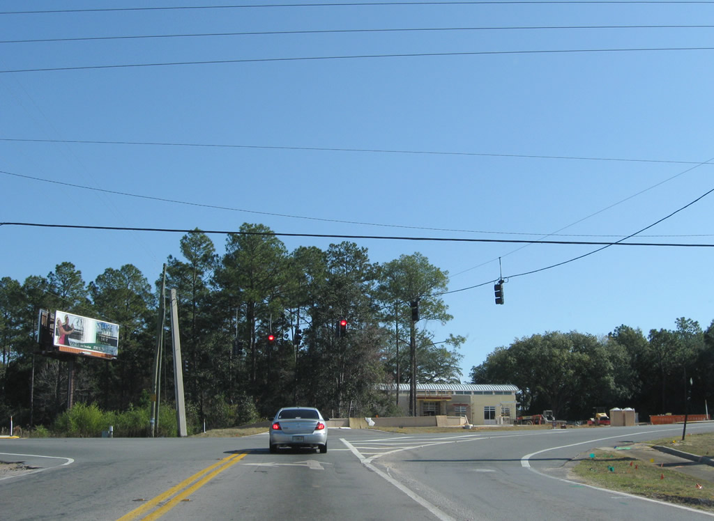
| P.J. Adams Parkway ends at SR 85 (Ferdon Boulevard) 0.8 miles north of Okaloosa County Road 4's former east end. 11/23/08 |
Okaloosa County 4B
Okaloosa County 4B, like County Road 4A north of Baker, acts as a cutoff. Following Charlie Day Road for 1.21 miles, CR 4B links County Road 189 (Galliver Cutoff) to the west with State Road 4 to the east in a rural area west of Crestview.
|
| County Road 4B leads away from State Road 4. No reassurance shield is posted. 05/02/09 |
|
| Traveling between farm fields, County Road 4B (Charlie Day Road) approaches County Road 189. 05/02/09 |
|
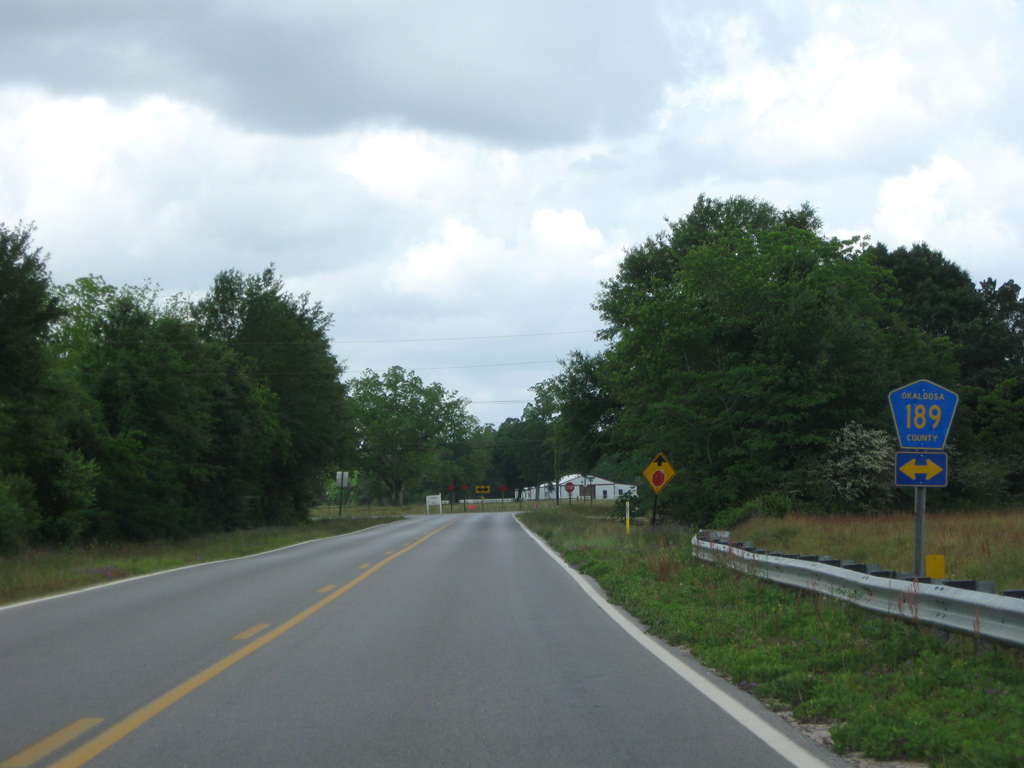
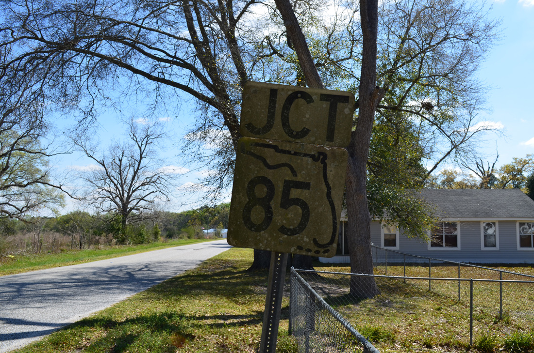
| CR 189 constitutes a 4.51 mile route between U.S. 90 at Galliver and SR 4 south of Baker. It was originally a part of SR 189. 05/02/09 |
Okaloosa County 85A
Two segments of County Road 85A remain in service within Okaloosa County. The northern most branch follows an old portion of SR 85 along 2nd Avenue for 1.26 miles within the city of Laurel Hill. An unsigned CR 85A follows Bill Lundy Road northwest 4.14 miles, from SR 85 near Garden City, to Clear Springs.
A 4.43 mile stretch of Okaloosa County 85A, from the Alabama state line east on New Ebenezer Road to 3rd Avenue in Laurel Hill, was removed from the system after 2010. Cinco Bayou and Fort Walton Beach was home to another CR 85A along Yacht Club Road, between SR 189 (Beal Parkway) and Ferry Road. Signage for the west end remained in place to 2013.
County Road 85A - Laurel Hill
|
| County Road 85A (2nd Avenue) and SR 85 converge as SR 85 arcs eastward to overtake the east end of 2nd Avenue to Svea. A keys shield, date stamped 09-17-68, is posted for the junction. 03/26/13 |
|
| 2013 construction along SR 85 included a slight realignment of 2nd Avenue so that the road ends at more of a 90-degree angle. A trailblazer for SR 85 points to the left, though it used to point right when CR 85A defaulted onto SR 85 north. 03/26/13 |
|
| 2nd Avenue navigates across the Laurel Hill street grid to SR 85. A vintage shield assembly, date stamped 05-23-68, precedes the end point. 03/26/13 |
|
| A second keys shield, also from 05-23-68, appears at 2nd Avenue and SR 85 in Laurel Hill. 2nd Avenue continues beyond the end of CR 85A a few more blocks while SR 85 curves southwest to Almarante, Garden City and Crestview. 03/26/13 |
Former County Road 85A - New Ebenezer Road / 3rd Avenue
|
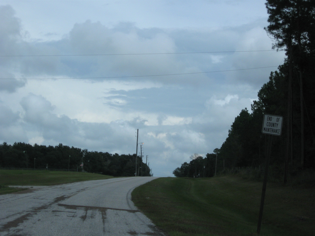
| An end of county maintenance sign is posted along New Ebenezer Road eastbound as the former CR 85A crosses the Laurel Hill city line. 09/19/09 |
|
| County Road 85A turned east from New Ebenezer Road onto a three block stretch of 3rd Avenue within the city of Laurel Hill. An old keys shield for SR 85 resides just ahead of 3rd Street, which connects with SR 85 south. 03/26/13 |
Former County Road 85A - Yacht Club Road
|
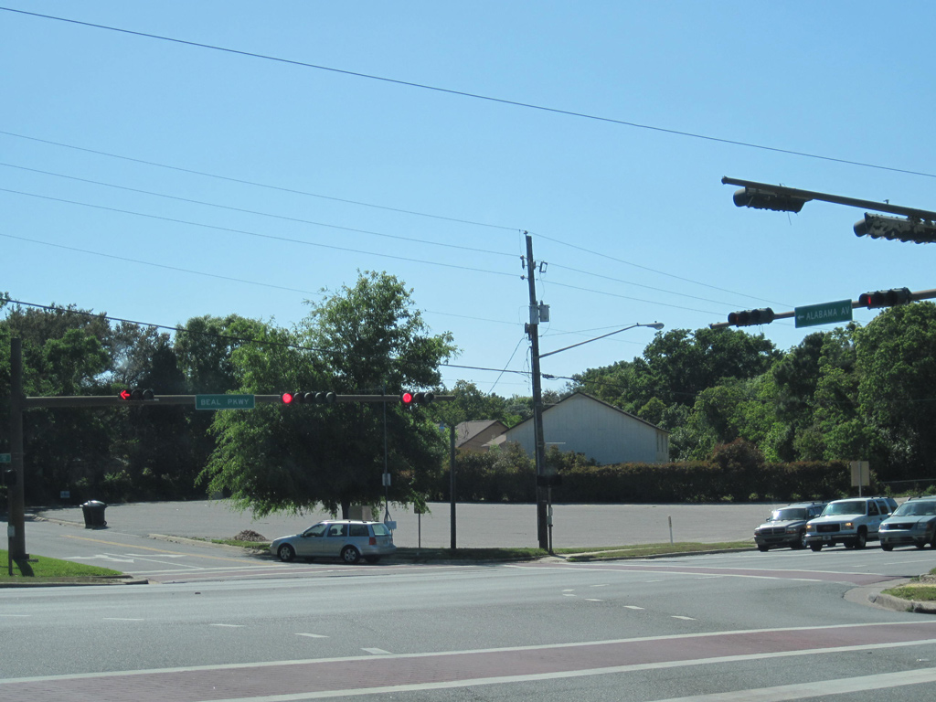
| The original west end of County Road 85A in Fort Walton Beach, where Yacht Club Road intersects Beal Parkway (SR 189) and Alabama Avenue west. 04/26/10 |

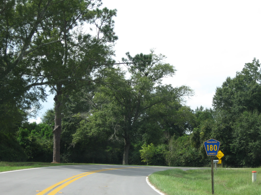
Okaloosa County 180
County Road 180 winds 7.44 miles west from Florida 189 to the Alabama state line in northern Okaloosa County. County Road 51 (Blackwater Road) extends north from the CR 180 end to CR 4 near Bradley in Escambia County, Alabama.
|
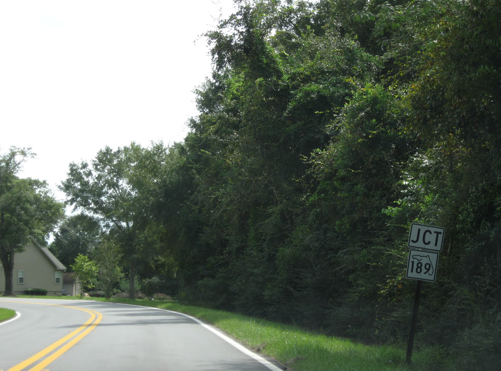
| Okaloosa County Road 180 meanders east and then south before turning east again and ending at SR 189 opposite L.G. Russell Road. An erroneous CR 189 shield was posted ahead of the end until mid-2009. 03/09/09 |
|
| A county-installed SR 189 shield replaced the CR 189 marker posted at the end of CR 180. SR 189 travels north to become Alabama 137 en route to U.S. 29 and south to Baker and SR 4. 09/19/09 |
|
| The lone pentagon posted for County Road 180 west stands on the curve leading north from SR 189 at Escambia Farms. 09/19/09 |
Okaloosa County 188
County Road 188 forms an S-shaped route in the Crestview area, from U.S. 90 to the west and Florida 85 at Garden City to the north. A separate State Road 188 serves the Fort Walton Beach area along Racetrack Road as well.
The 12.39 mile route of CR 188 encircles suburban areas through northwest Crestview along Old Bethel Road. Crossing Florida 85 (Ferdon Boulevard), CR 188 becomes Airport Road east to Bob Sikes Airport (CEW). Curving northeast from the airport, County Road 188 intersects Poverty Creek Road before swinging northwest via Garden City Road to Georgia Avenue and Main Street in the unincorporated community of Garden City.
|
| Approaching SR 85 (Ferdon Boulevard) along County Road 188 (Old Bethel Road) east in north Crestview. SR 85 constitutes both the main north-south route through the city of Crestview and Okaloosa County. 04/30/11 |
|
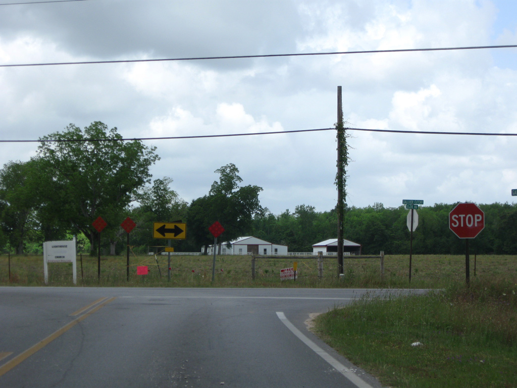
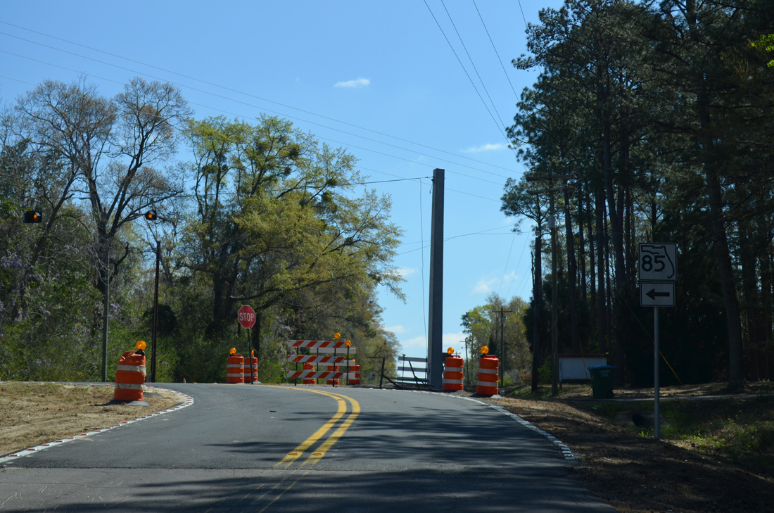
| SR 85 leads south to Downtown Crestview and north to Auburn, Garden City and Laurel Hill. 05/02/09 |
|
| County Road 188 reassurance marker posted as Airport Boulevard leaves Ferdon Boulevard. Pentagons for CR 188 are only posted along the route at SR 85. 05/02/09 |
The segment of County Road 189 southward from Holt to Interstate 10 was truncated 0.802 miles northward in 2011, from Whippoorwill Drive to the diamond interchange (Exit 45).
County Road 189 Guides
|
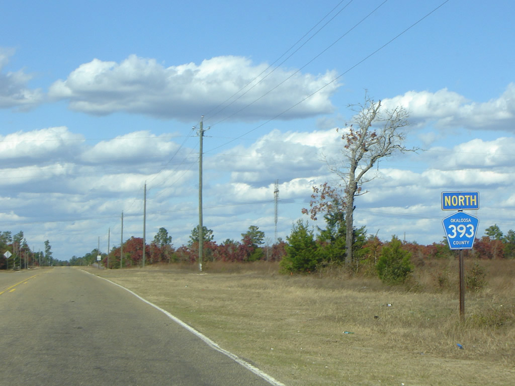
| Okaloosa County Road 393 begins and leads north from U.S. 90 at Deerland. 12/01/08 |
|
| Error SR 90 shield posted ahead of the south end of Okaloosa County Road 393 at Deerland. This unusual style of Florida state road shield is found only in Okaloosa and Walton County. 12/01/08 |
Other Okaloosa County Roads
|
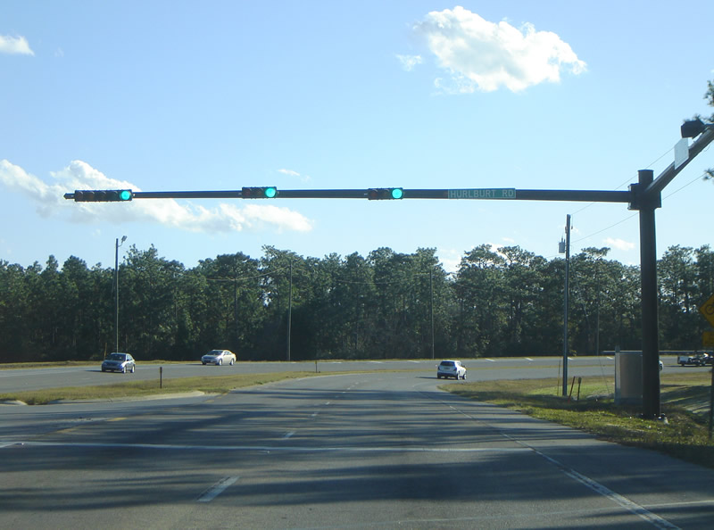
| Martin Luther King Jr. Boulevard southbound at Hurlburt Road by Eglin Air Force Base. Hurlburt Road travels east to the intersection of SR 189 (Beal Parkway) and SR 188 (Racetrack Road) east. 12/01/08 |
|
| Hill Avenue southbound at the roundabout with Hollywood Boulevard on the Ft. Walton Beach and Mary Esther city lines. Hollywood Boulevard east to Doolittle Boulevard south provides a connection to U.S. 98 (Miracle Strip Parkway). 12/01/08 |
|
Photo Credits:
12/01/08 by AARoadsConnect with:
Interstate 10
U.S. 90
U.S. 98
Page Updated 03-20-2014.
Page load link
|

 West
West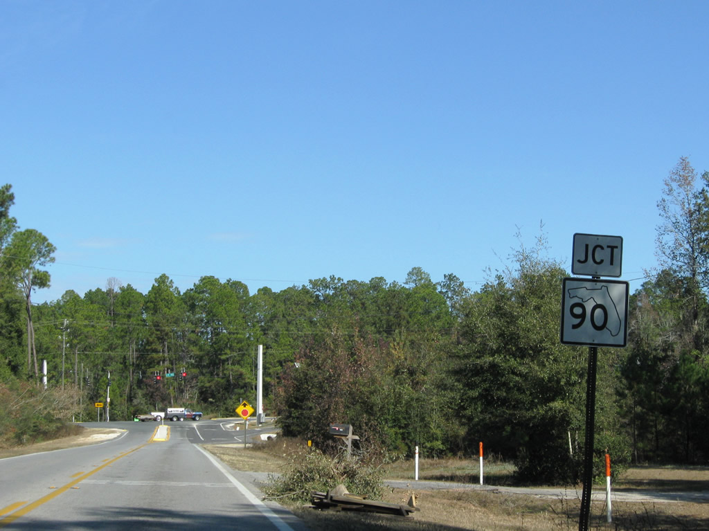
 West
West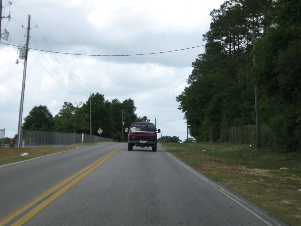
 East
East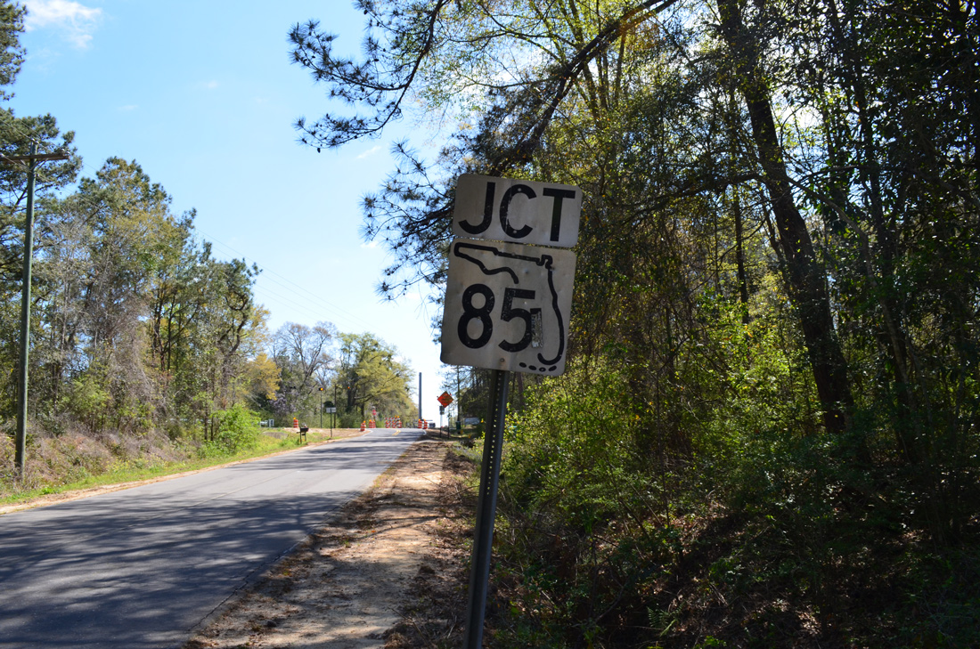

 East
East
 East
East

 North
North