Old Baltimore Pike (Road 26) constitutes a minor arterial stretching 7.10 miles east from the Maryland state line to SR 273 (Christiana Bypass). Heading 0.9 miles north through Christiana, Old Baltimore Pike becomes a part of SR 7 between East Main Street and Stanton Christiana Road adjacent to the exchange with SR 1 at Christiana Mall.
Although not a numbered route west of Christiana, Old Baltimore Pike is a well used commuter road serving an array of subdivisions south of Interstate 95 and Newark. West of Iron Hill, Old Baltimore Pike connects with MD 281 (Red Hill Road) to Elkton.
Construction in the mid 1990s widened Old Baltimore Pike east from SR 72 (Sunset Lake Road) to SR 273 outside Christiana. The upgrade transitioned Old Baltimore Pike from a narrow two-lane road into a three lane boulevard with full outside shoulders.
|
| Old Baltimore Pike proceeds east from SR 896 (South College Avenue) to Old Coochs Bridge Road and an open-spandrel arch bridge across the Christina River.1 12/29/17 |
|
| Old Baltimore Pike crosses Norfolk Southern Railroad line ahead of SR 72 (Sunset Lake Road). 12/29/17 |
|
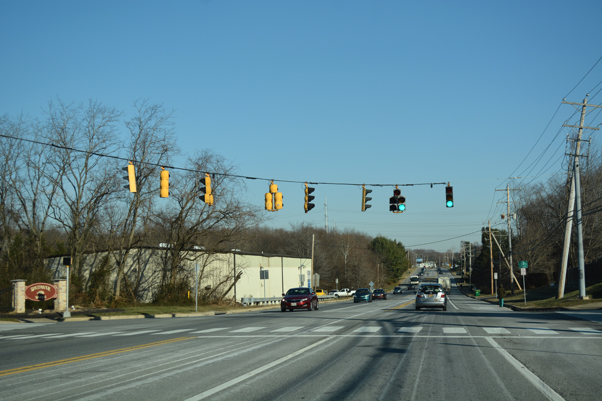
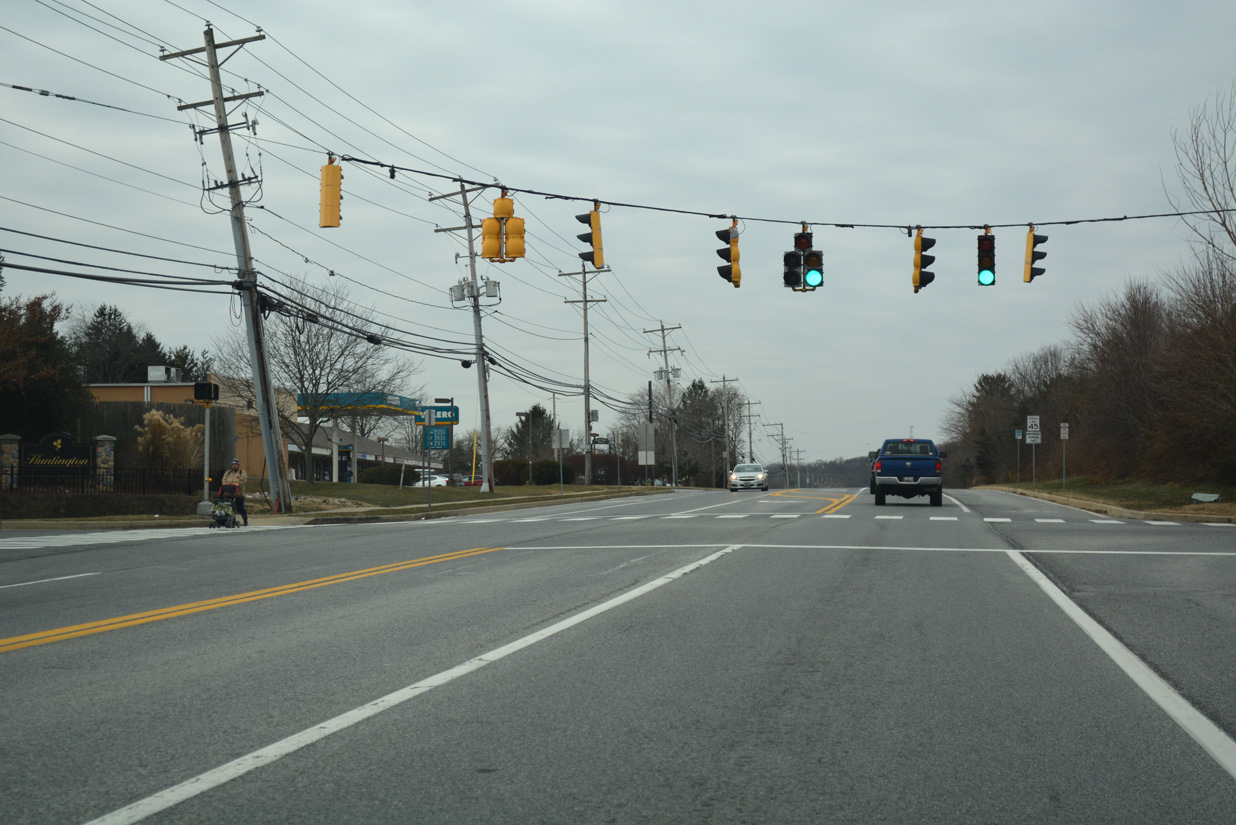
| Continuing east from SR 72 (Sunset Lake Road), Old Baltimore Pike expands to a three lane boulevard.. Westover Woods Drive south and Torrington Way north come together at the ensuing traffic light. 12/29/17 |
|
| Hanna Drive stems south from Old Baltimore Pike into the Piermont Woods subdivision across from the entrance road to the AstraZenica Newark plant. 12/29/17 |
|
| The northern branch of Salem Church Road ties into Old Baltimore Pike at Salem Woods Road and the Salem Woods community. Salem Church Road spans I-95 northward to SR 4 and SR 273 at Ogletown. 12/26/17 |
|
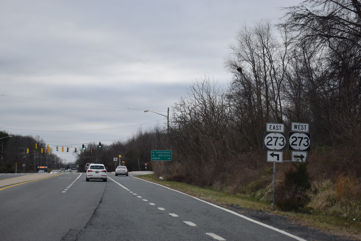
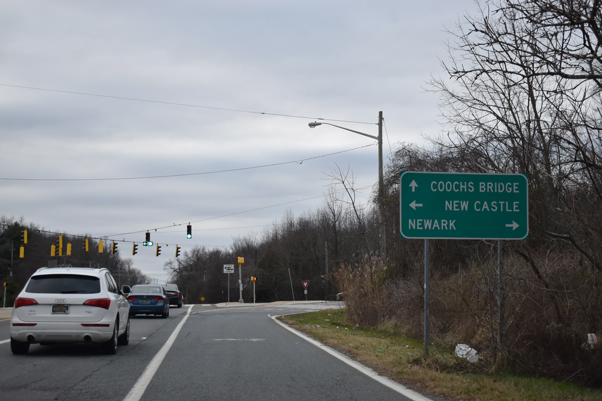
| Old Baltimore Pike west at SR 273 (Christiana Bypass). The four lane alignment around Christiana opened to traffic in 1986. 12/26/20 |
|
| Salem Church Road resumes south from Old Baltimore Pike along the west side of the Salem Woods development. The road continues to U.S. 40 (PUlaski Highway) and Porter Road west of Bear. 12/29/17 |
|
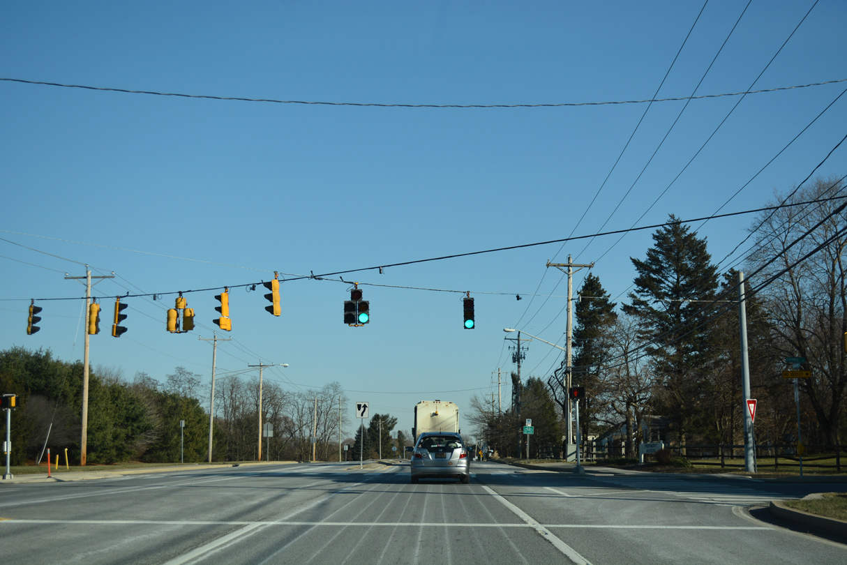
| A signalized intersection with Hanna Drive south and the entrance to the Newark Astra Zeneca plant lies just 0.3 miles west of the split with Salem Church Road south. 12/29/17 |
|
| Albe Drive loops north from Old Baltimore Pike into Delaware Interstate Industrial Park. The signal with Albe Drive east connects also with Christiana Farms Place south. 12/29/17 |
|
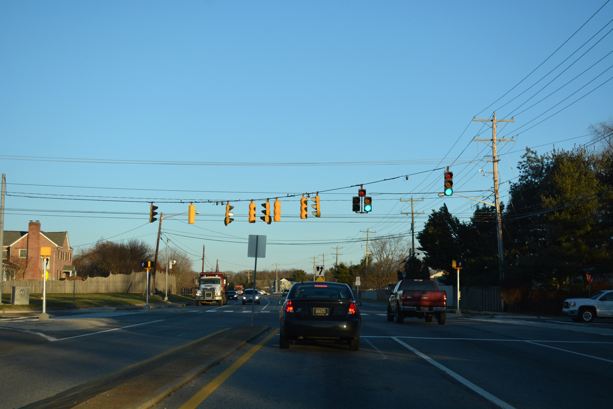
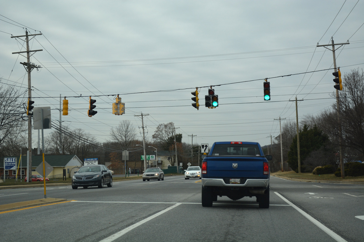
| The succeeding traffic light on Old Baltimore Pike westbound serves the Westover Woods and Huntington subdivisions. 12/29/17 |
|
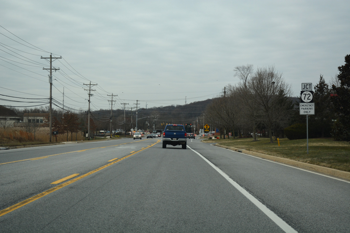
| Old Baltimore Pike converges with SR 72 south of Newark Industrial Park and east of Cooch's B ridge Battlefield. Construction underway in 2017 made improvements to the intersection. 12/29/17 |
|
| SR 72 follows Sunset Lake Road south to U.S. 40 (Pulaski Highway) en route to Delaware City. Chapel Street leads the arterial route north into the city of Newark. 12/29/17 |
|
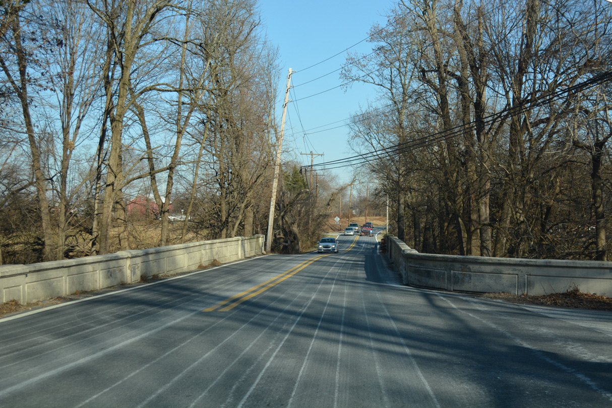
| Old Baltimore Pike crosses the Christina River just west of SR 72 and Cooch's Bridge Battlefield. The 64 foot long open-spandrel arch bridge here dates back to 1922.1 12/26/17 |
|
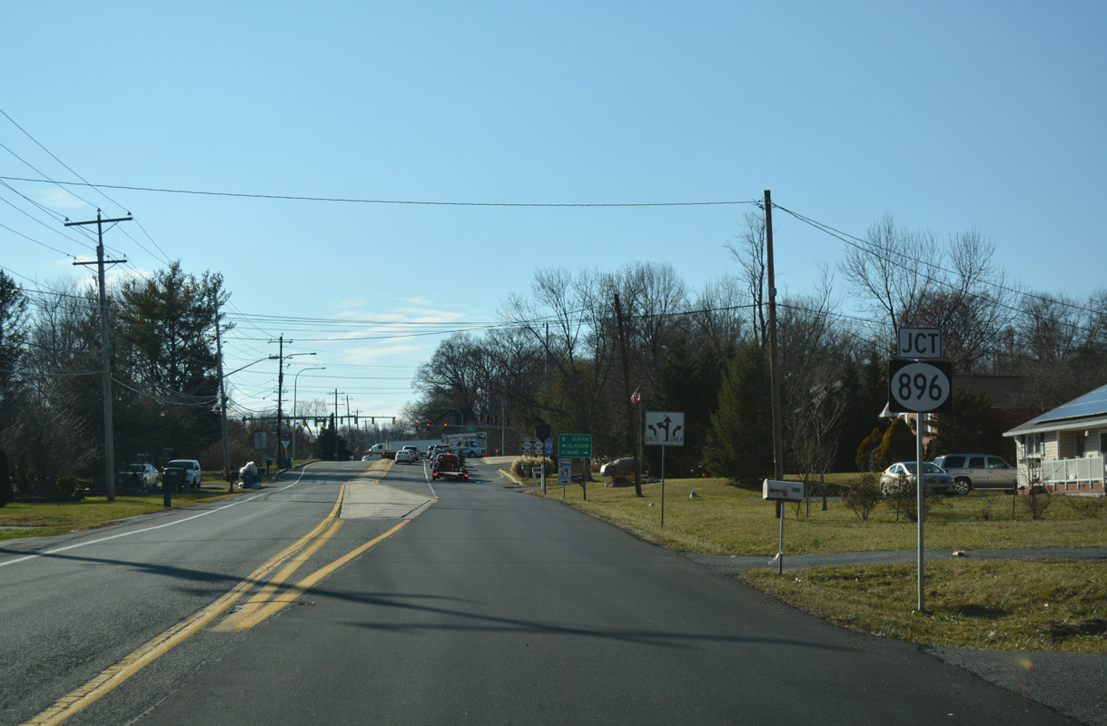
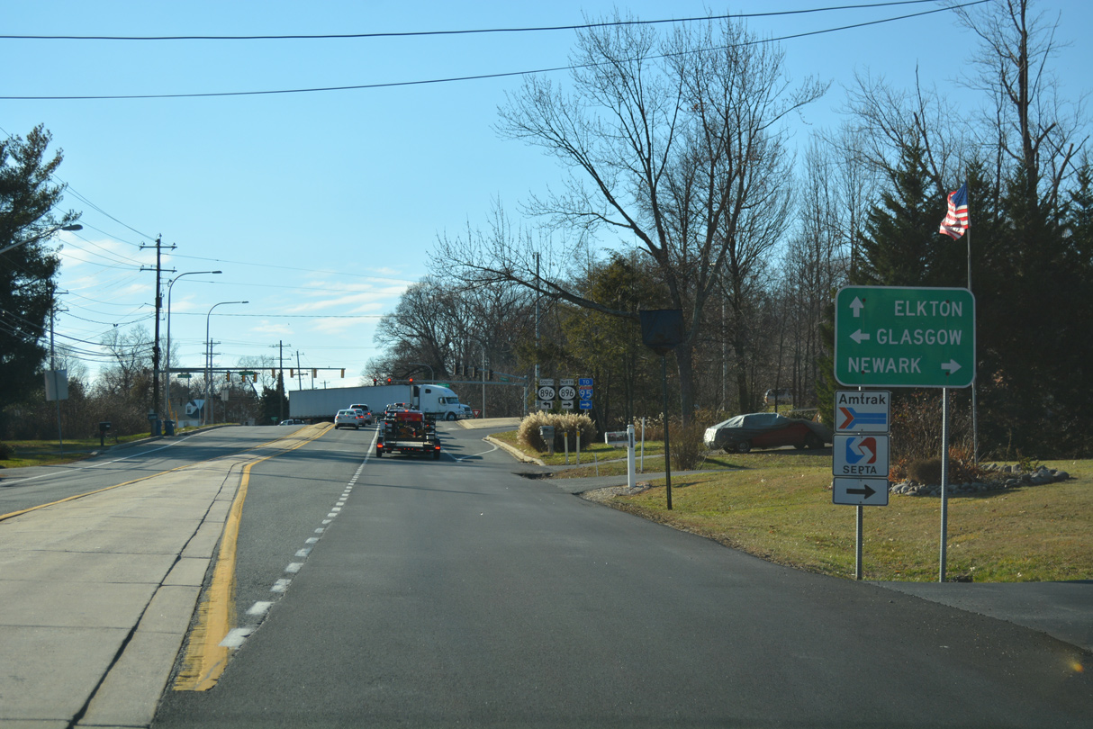
| Angling southwest toward Iron Hill, Old Baltimore Pike passes by the Cannonshire neighborhood to SR 896 (South College Avenue). 12/26/17 |
|
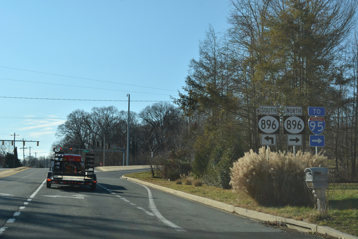
| SR 896 constitutes a divided arterial north to Newark and south to Glasgow, Summit Bridge and Mount Pleasant. 12/26/17 |
|
| The cloverleaf interchange joining SR 896 with Interstate 95 lies just three quarters of a mile north of Old Baltimore Pike. 12/26/17 |
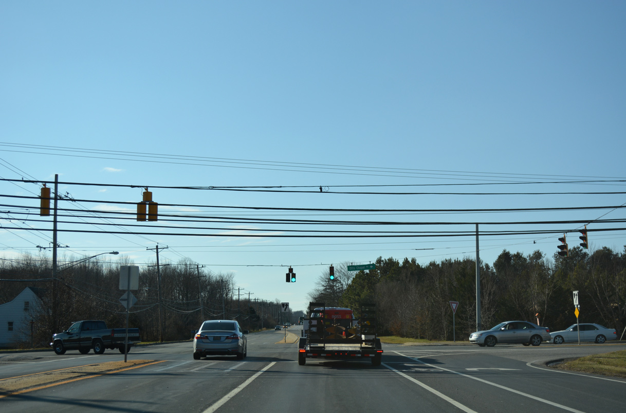
|
| Advancing 1.7 miles west of SR 896, Old Baltimore Pike intersects Otts Chapel Road north to SR 279 at Newark and Pleasant Valley Road south to U.S. 40 at Glasgow. 12/26/17 |
Photo Credits:12/26/17, 12/29/17, 12/26/20 by AARoads
Connect with:
State Route 7
State Route 72
State Route 273
State Route 896
Route 281
Page Updated 03-04-2021.