
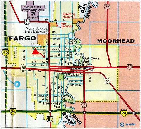
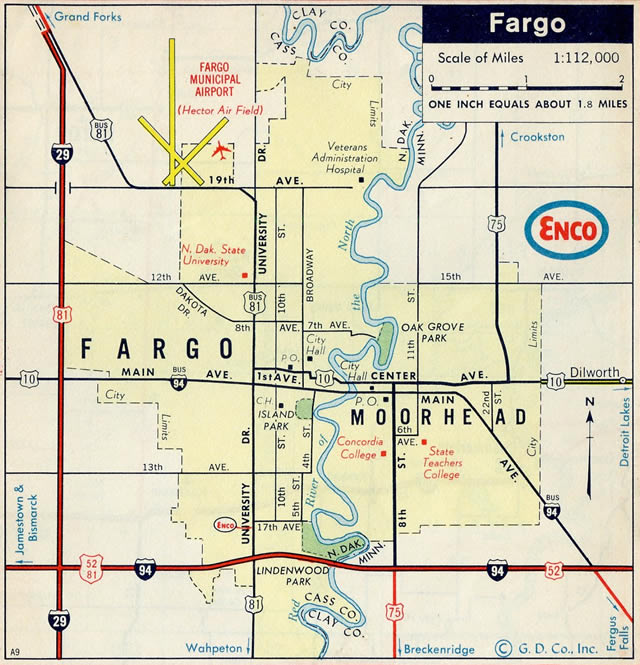
What is left of U.S. 10 in North Dakota travels Main Avenue through both West Fargo and Fargo. The four-lane boulevard concurs with Business Loop I-94 to Moorhead, Minnesota. U.S. 10 west of West Fargo was truncated in 1987.
U.S. 10 North Dakota Guides
- West
- East - see below
Main Avenue was redesigned through a portion of Fargo and all of West Fargo from a five-lane arterial to include new curb, gutter and divided medians in addition to decorative lamp posts, signal upgrades, multi-use pedestrian paths and utility improvements. An overall three phase project, the first phase reconstructed Business Loop I-94/U.S. 10 from 6th Street West, near the Sheyenne River, to 5th Street East. The $8.6 million project was completed in 2009. It included removing most of the frontage road system to eliminate conflict points.1
The second phase of the Main Avenue reconstruction, costing $14.6 million, upgraded a 1.4 mile stretch of U.S. 10 from 6th Street East to 45th Street. A dedication ceremony was held on November 5, 2012 for the work that was paid for with a mixture of federal, state and local funds.1
Phase three work on U.S. 10 west of the river was divided into two projects. Phase 1 redesigned Main Avenue from Drain 21 to Interstate 94. It was completed in 2015. Phase 2 will complete construction along Main Avenue between Drain 21 and a new bridge across the Sheyenne River by October 2016. Total costs for the phase is $26.7 million.1
 East East |
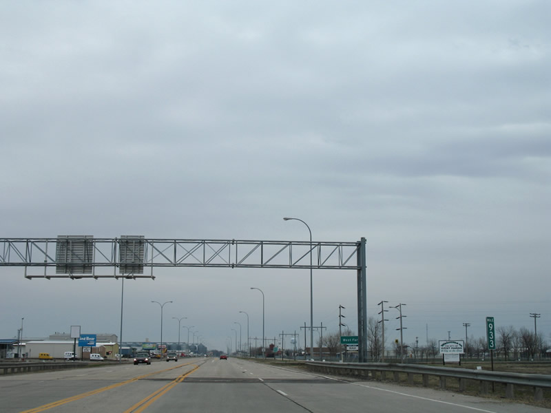 | Ramps from I-94/U.S. 52 at Exit 343 combine to form the eastbound beginning of U.S. 10 and Business Loop I-94 on Main Avenue in West Fargo. Main Avenue is a four lane arterial throughout all of West Fargo and Fargo. 04/22/07 |
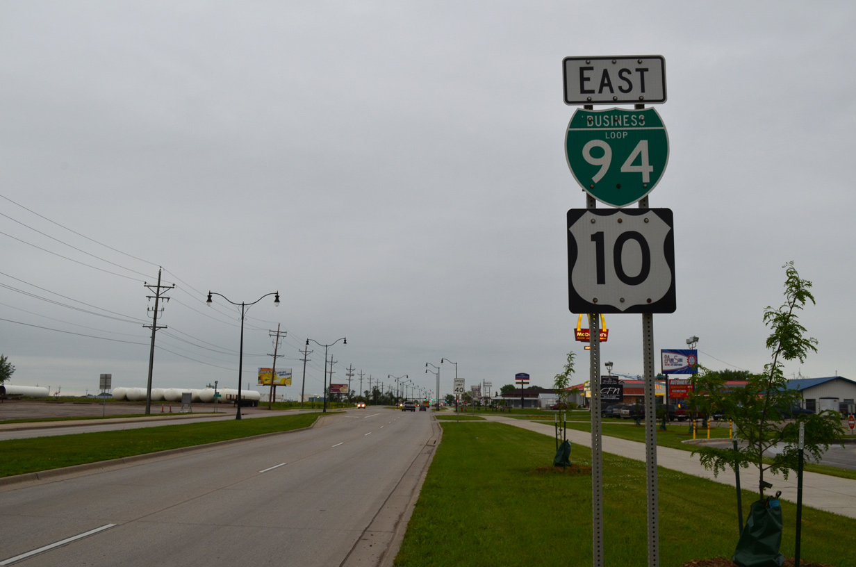
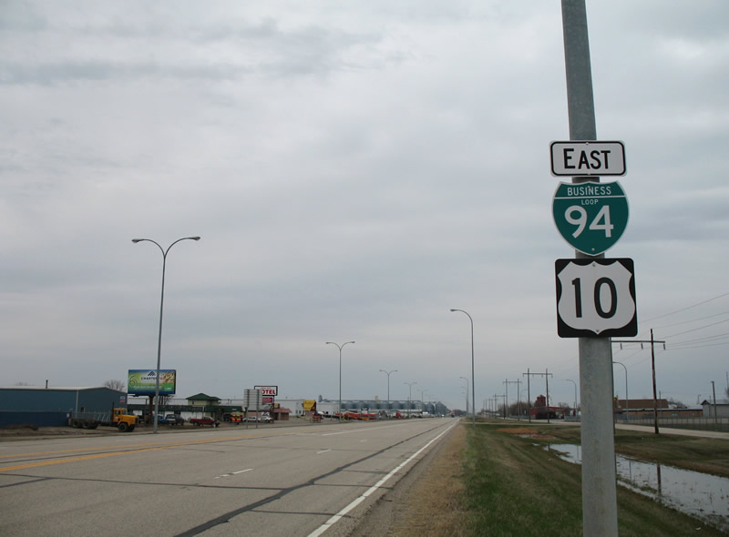 | The first U.S. 10 shield coincides with Business Loop I-94 on Main Avenue east in West Fargo. Main Avenue passes by Bonanzaville USA / Red River Fairgrounds on its course toward Downtown West Fargo and Fargo. U.S. 10 and Business Loop I-94 follow Main Avenue to U.S. 75 in Downtown Moorhead, Minnesota. 04/22/07 |
 | Reassurance markers posted for Business Loop I-94 & U.S. 10 east after 4th Street East. A number of industrial businesses line the north side of Main Avenue while lodging and food establishments line the south side. 06/17/15 |
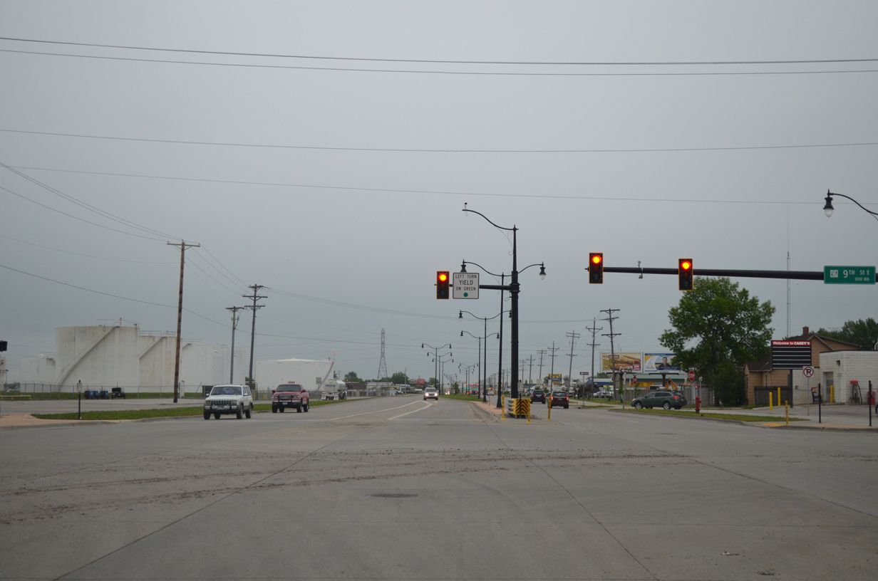 | 9th Street East heads south from Main Avenue to West Fargo High School and Interstate 94 at Exit 347. The street north leads to rural areas and North Dakota Horse Park. 06/17/15 |
- "Second phase of Main Avenue reconstruction complete." West Fargo Pioneer, November 7, 2012.
- "2016 Construction Open House," online presentation document. City of West Fargo. April 8, 2016.
Photo Credits:
04/22/07, 06/17/15 by AARoads
Connect with:
Interstate 29
Interstate 94
Page Updated 04-11-2016.