|
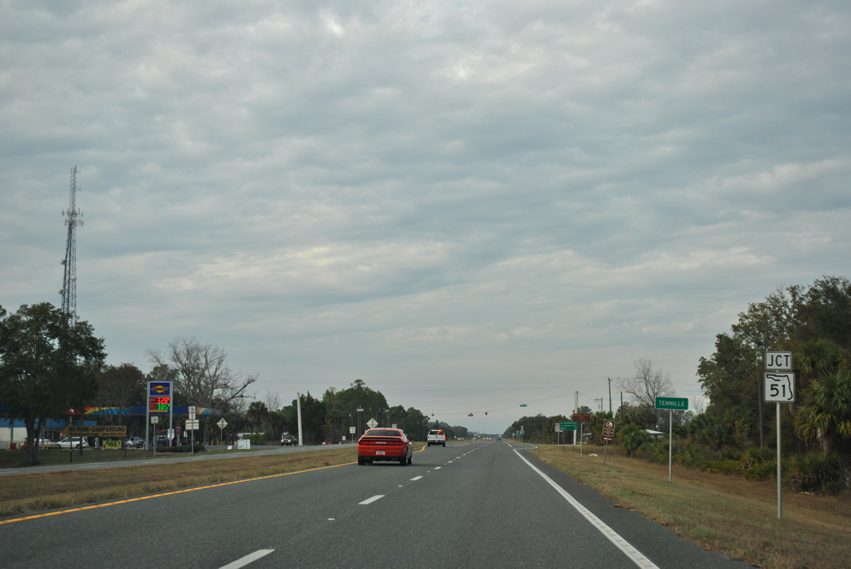
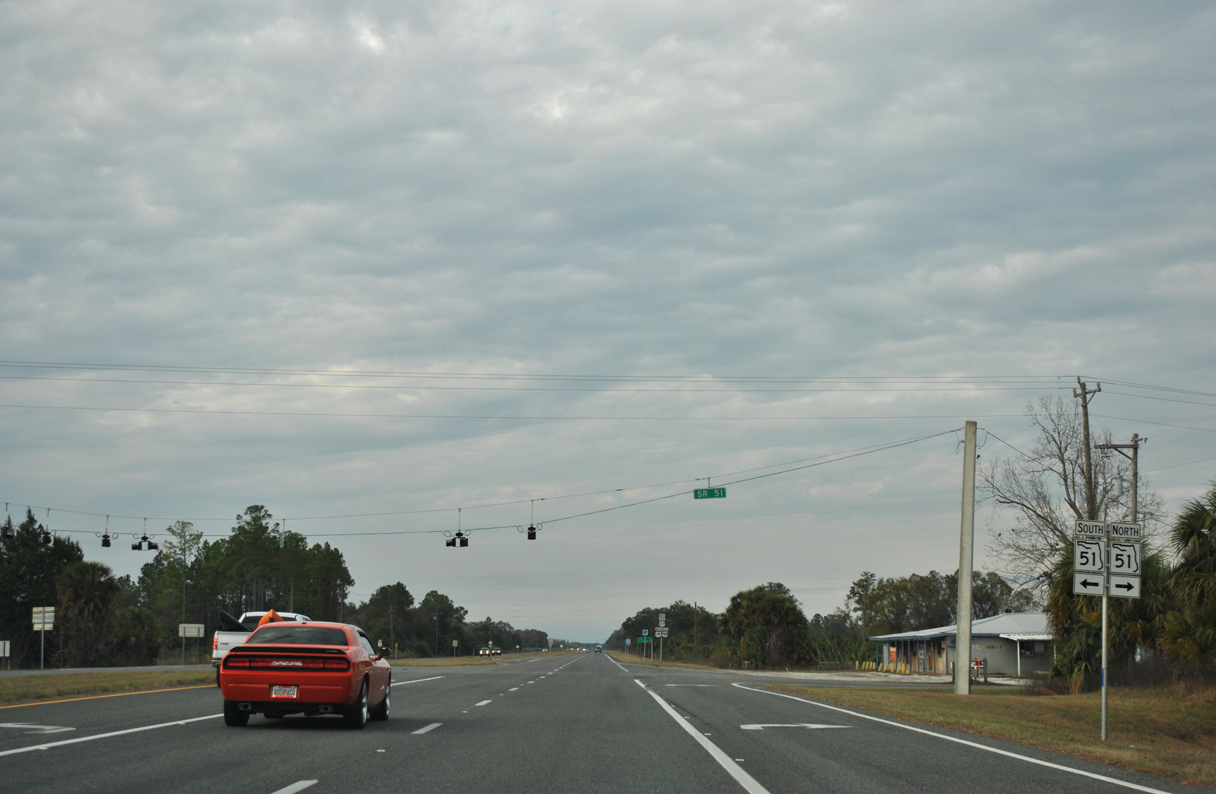
| U.S. 19/98/27 ALT cross paths with State Road 51 at Tennille just beyond the county line. 12/26/11 |
|
| SR 51 parallels the Steinhatchee River south to CR 361 at Steinhatchee and north to Cooks Hammock in Dixie County. The state road travels northeast from the Nature Coast to Mayo and Live Oak. 12/26/11 |
|
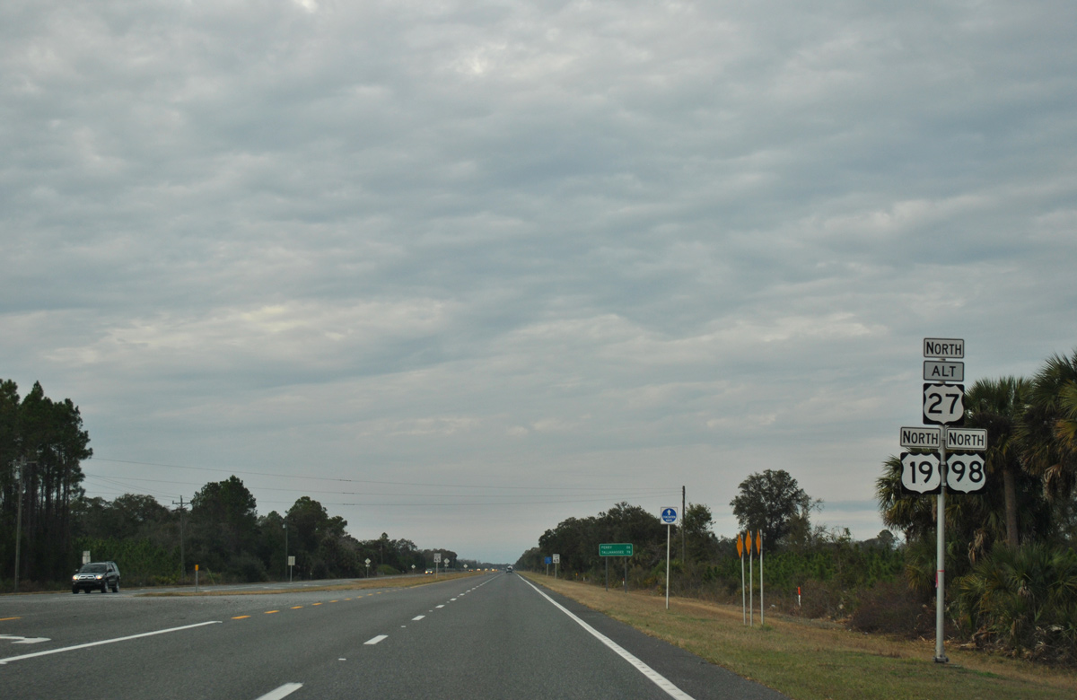
| Continuing north from SR 51, U.S. 19/98/27 Alternate pass by the site of Tennille Airport. 12/26/11 |
|
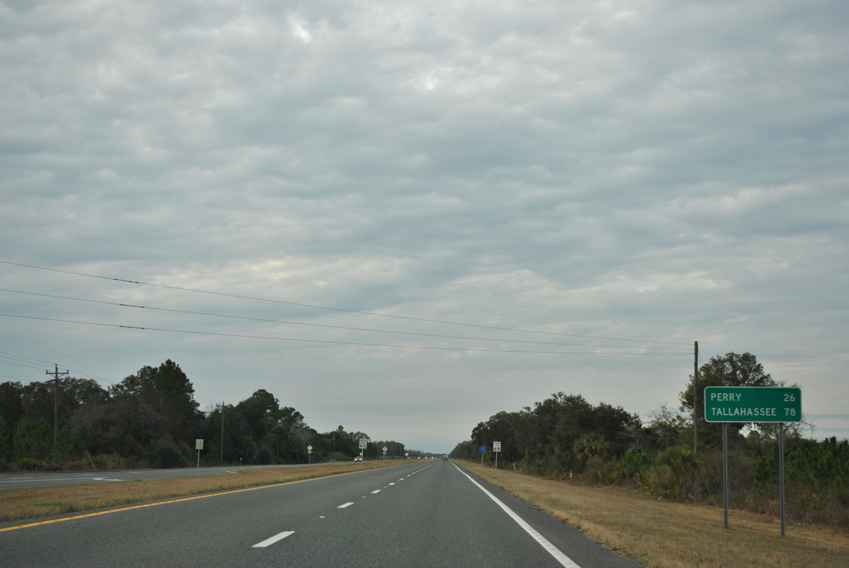
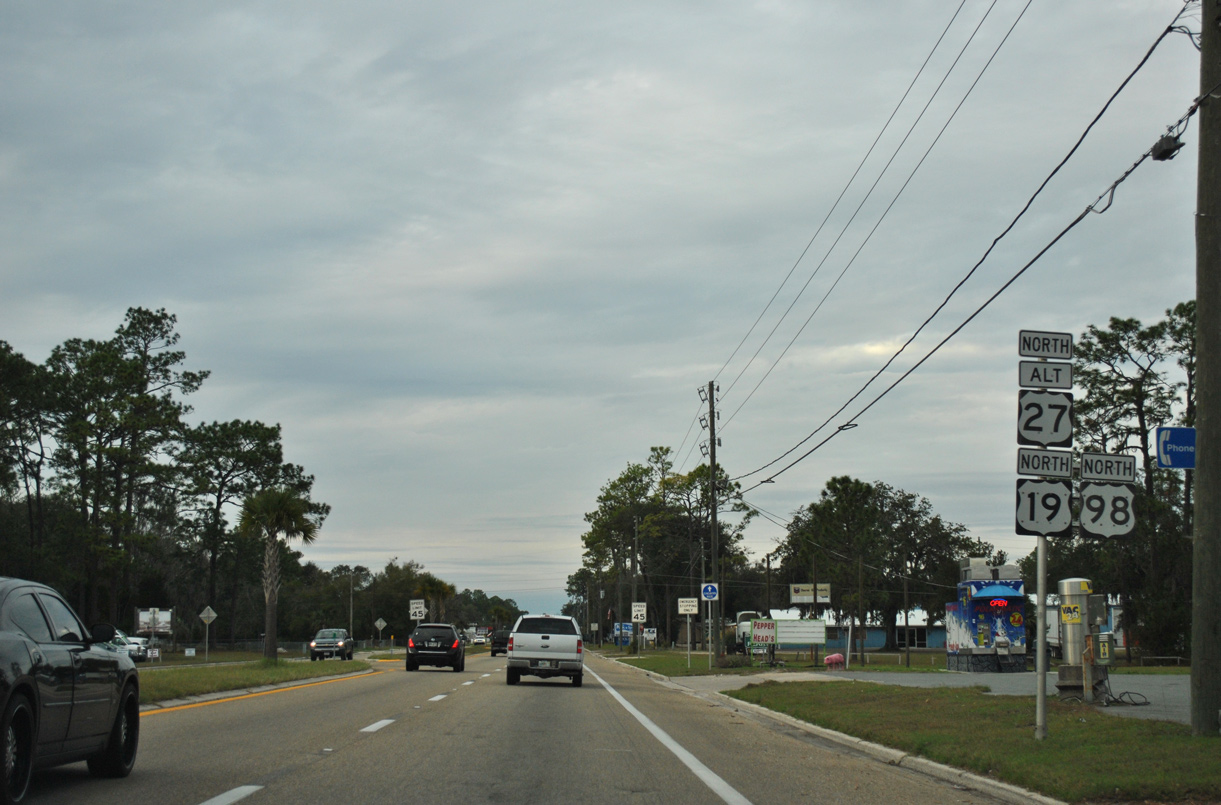
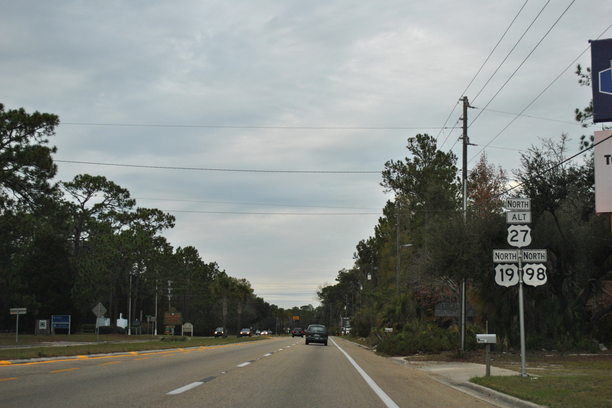
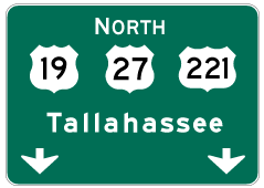
| Perry lies 26 miles to the northwest. Tallahassee is another 52 miles via U.S. 27. 12/26/11 |
|
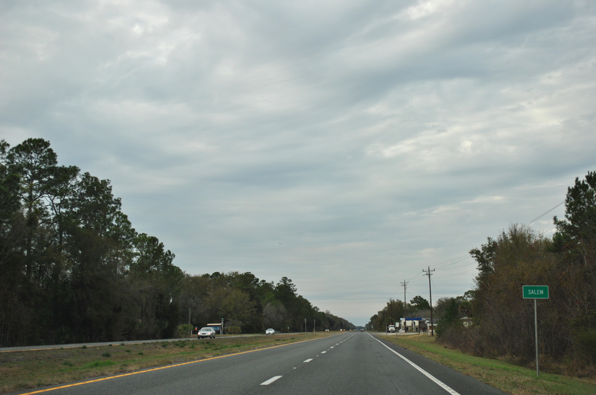
| The settlement of Salem lies at the intersection joining U.S. 19/98/27 Alternate with Fish Creek Road west. 12/26/11 |
|
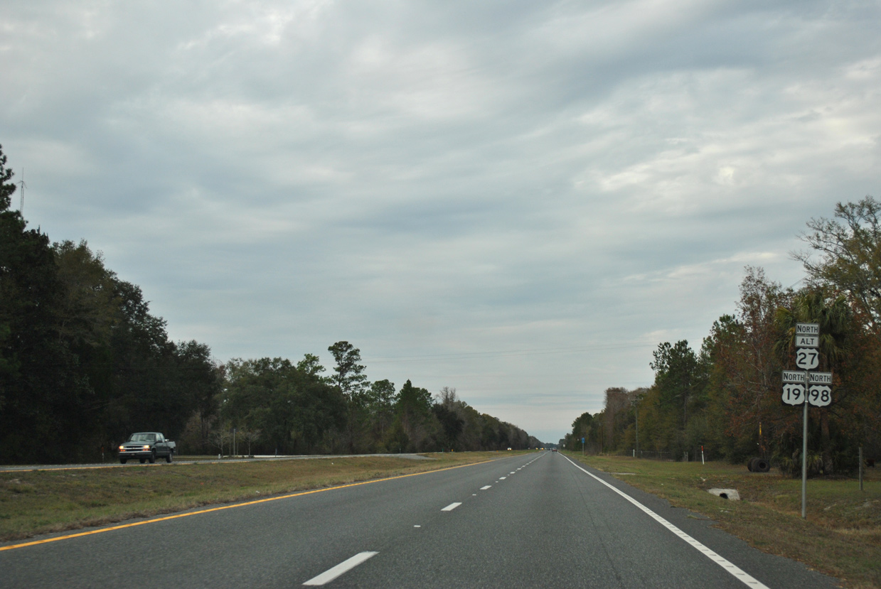
| Major Sheffield Road ties in from adjacent Old US 19 to the east ahead of this shield assembly at Salem. 12/26/11 |
|
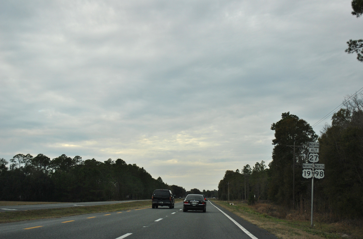
| Unmarked from U.S. 19/98/27 Alternate, Red Padgett Road is CR 356 north 3.08 miles to Cooks Hammond Road. The county road ties into the four lane highway ahead of this shield assembly. 12/26/11 |
|
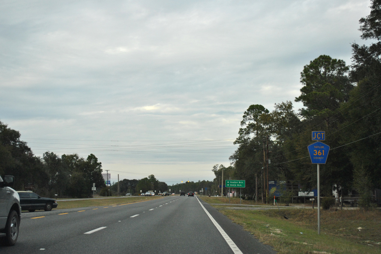
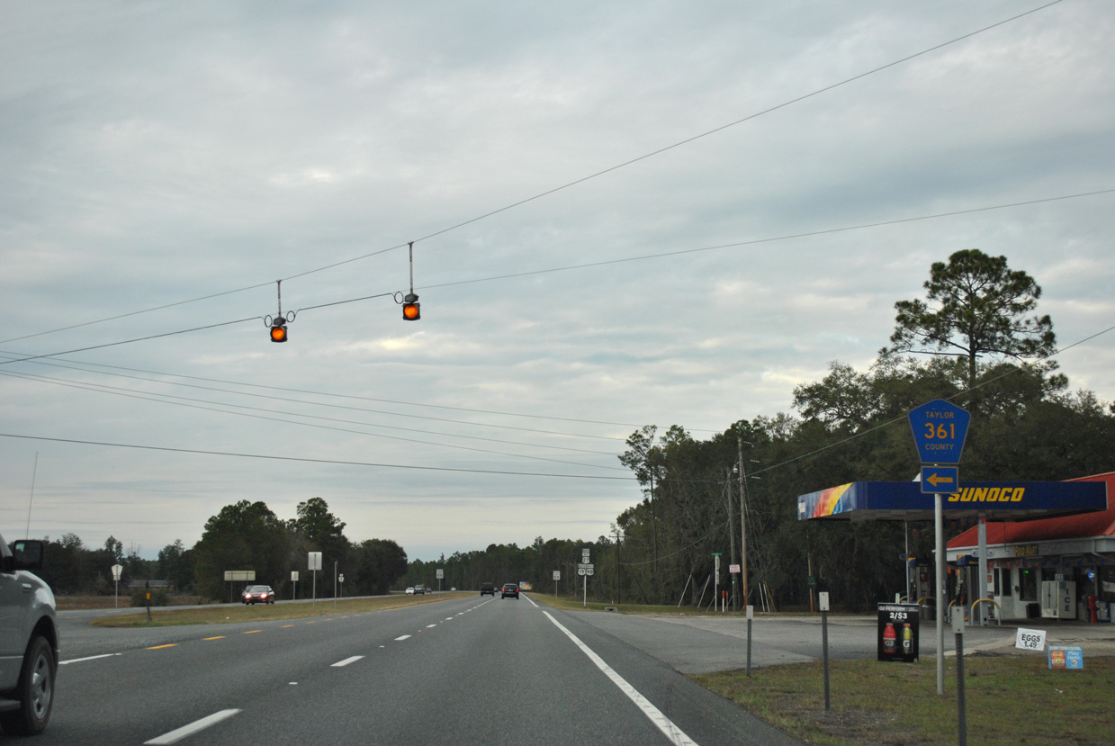
| CR 361 (Beach Road) converges with U.S. 19/98/27 ALT north from Keaton Beach and Dekle Beach at the ensuing intersection. 12/26/11 |
|
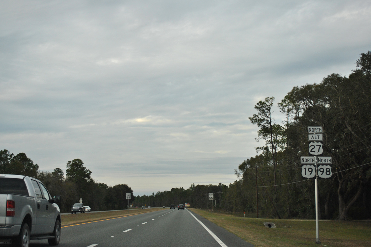
| Confirming markers posted after CR 361 (Beach Road) south and Shade Tree Lane east. 12/26/11 |
|
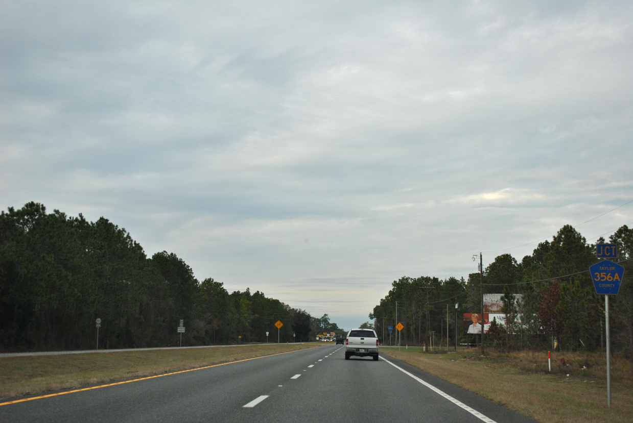
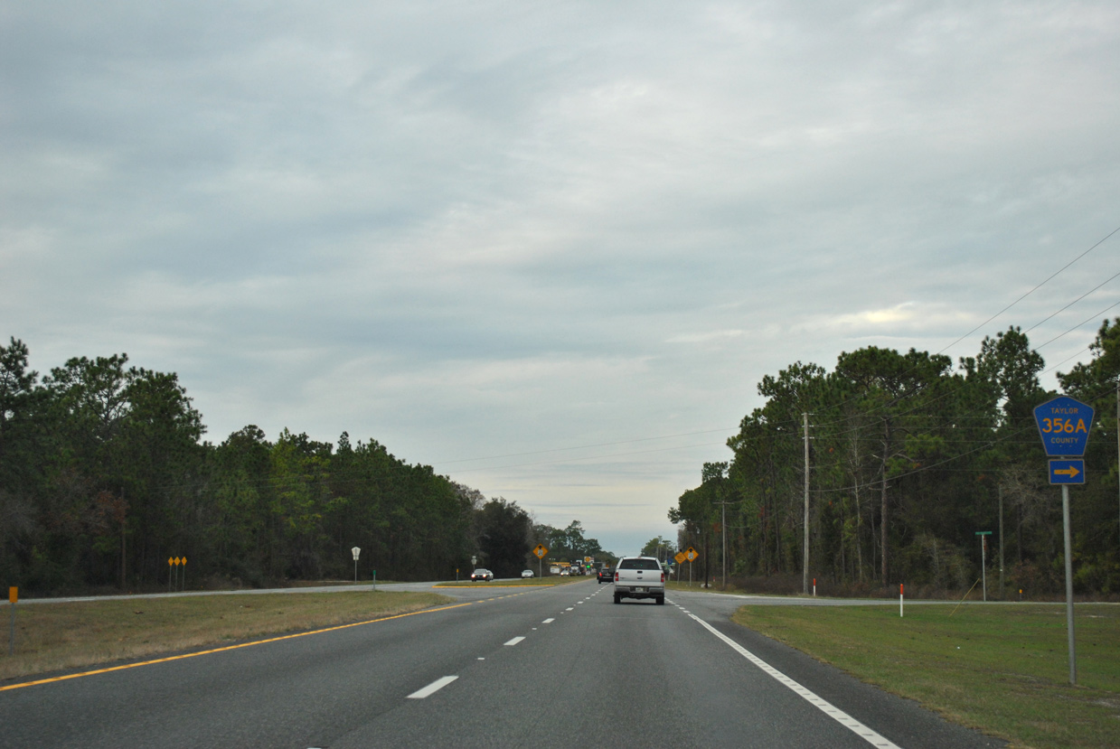
| CR 356A brings Red Padgett Road back to U.S. 19/98/27 Alternate from CR 356. 12/26/11 |
|
| Taylor County Road 356A runs 2.62 miles to the east. 12/26/11 |
|
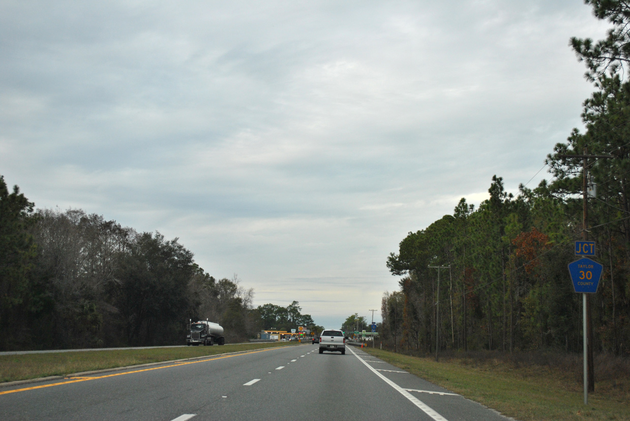
| County Road 30 (Foley Road) constitutes a southern bypass of Perry and a cut off from U.S. 19/98/27 ALT north to U.S. 27 south. 12/26/11 |
|
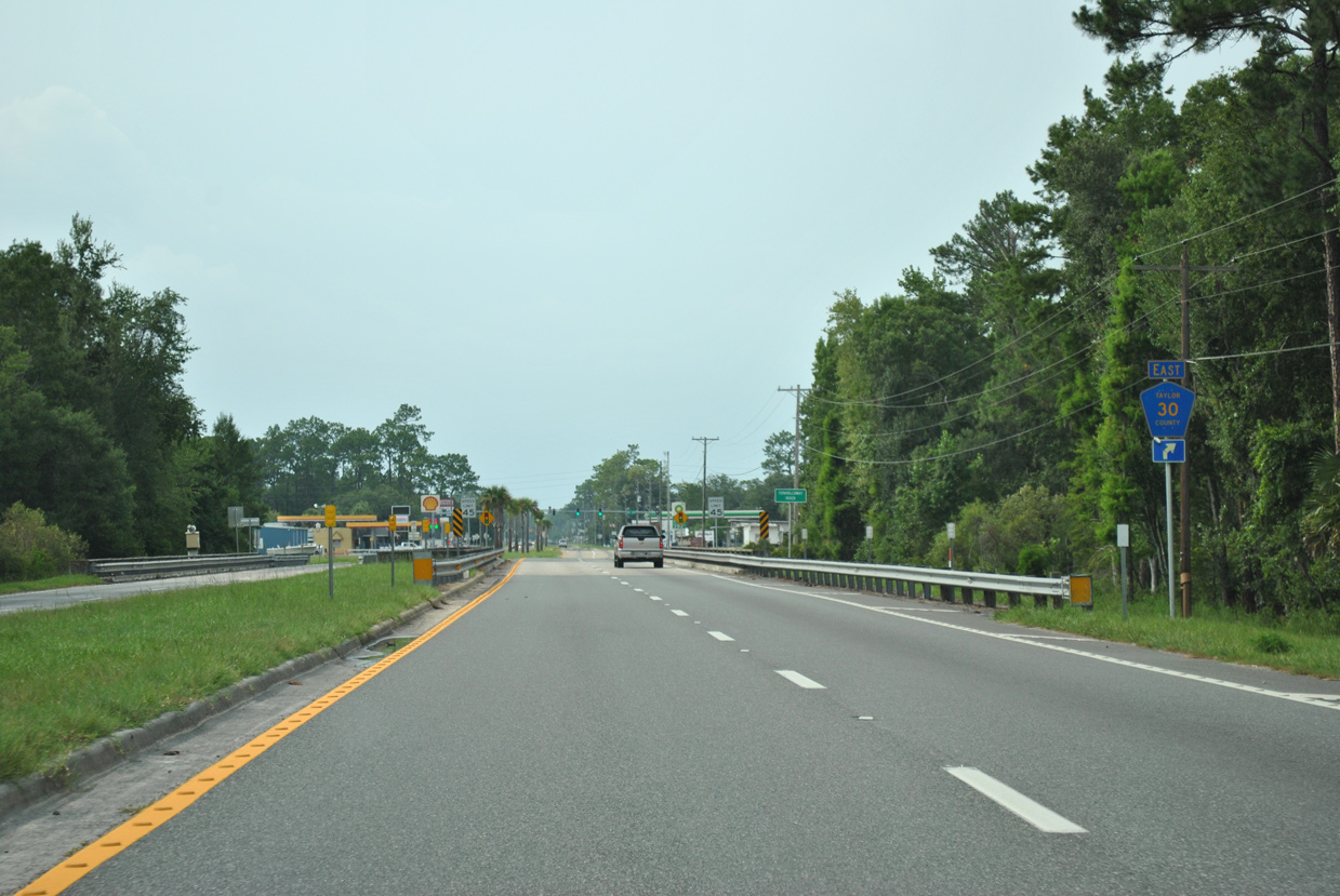
| U.S. 19/98/27 Alternate span the Fenholloway River ahead of the ramp to CR 30 (Foley Road) east. 07/10/11 |
|
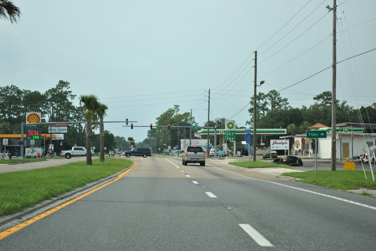
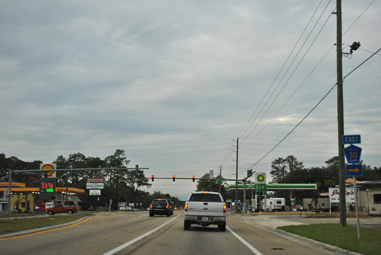
| Measuring 2.65 miles, CR 30 (Foley Road) ties into U.S. 27 just beyond the community of Foley. 07/10/11 |
|
| CR 2132 extends west from CR 30 along Carlton Cemetery Road 1.92 miles to CR 361A (Puckett Road) at CR 30A (Holt Road). CR 2132 was a renumbering of CR 30A. 12/26/11 |
|
| Proceeding north from CR 30 (Foley Road) and CR 2132 (Carlton Cemetery Road), U.S. 19/98/27 ALT pass east of Perry-Foley Airport (40J). 12/26/11 |
|
| Confirming markers posted after the unmarked east end of CR 362 (Industrial Park Drive). 12/26/11 |
|
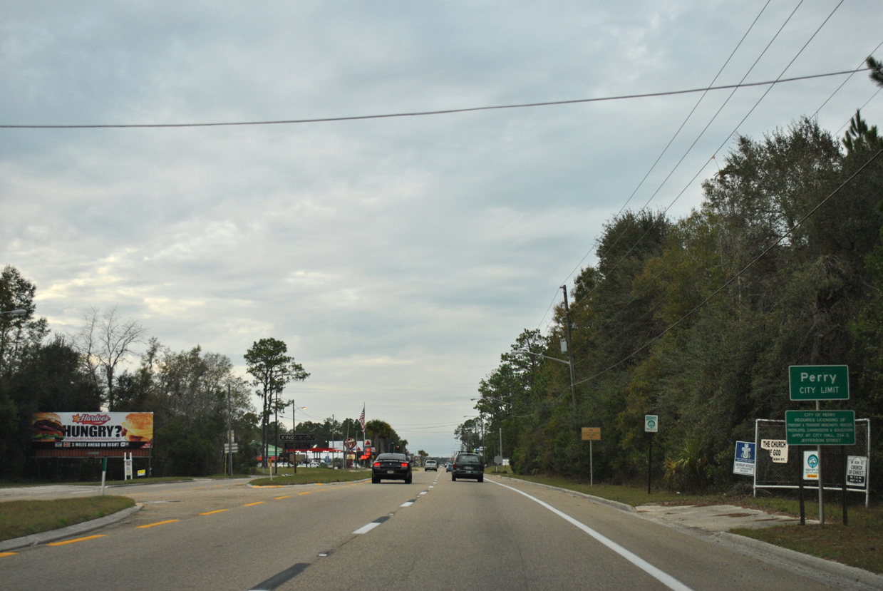
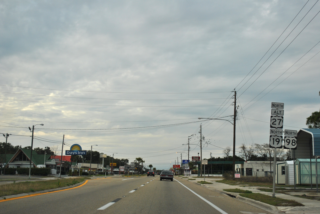
| Bending westward, U.S. 19/98/27 ALT cross into the Perry city limits. Perry is the seat of Taylor County. 12/26/11 |
|
| Plantation Road (CR 2130) loops northeast to U.S. 27 ahead of this shield assembly. 12/26/11 |
|
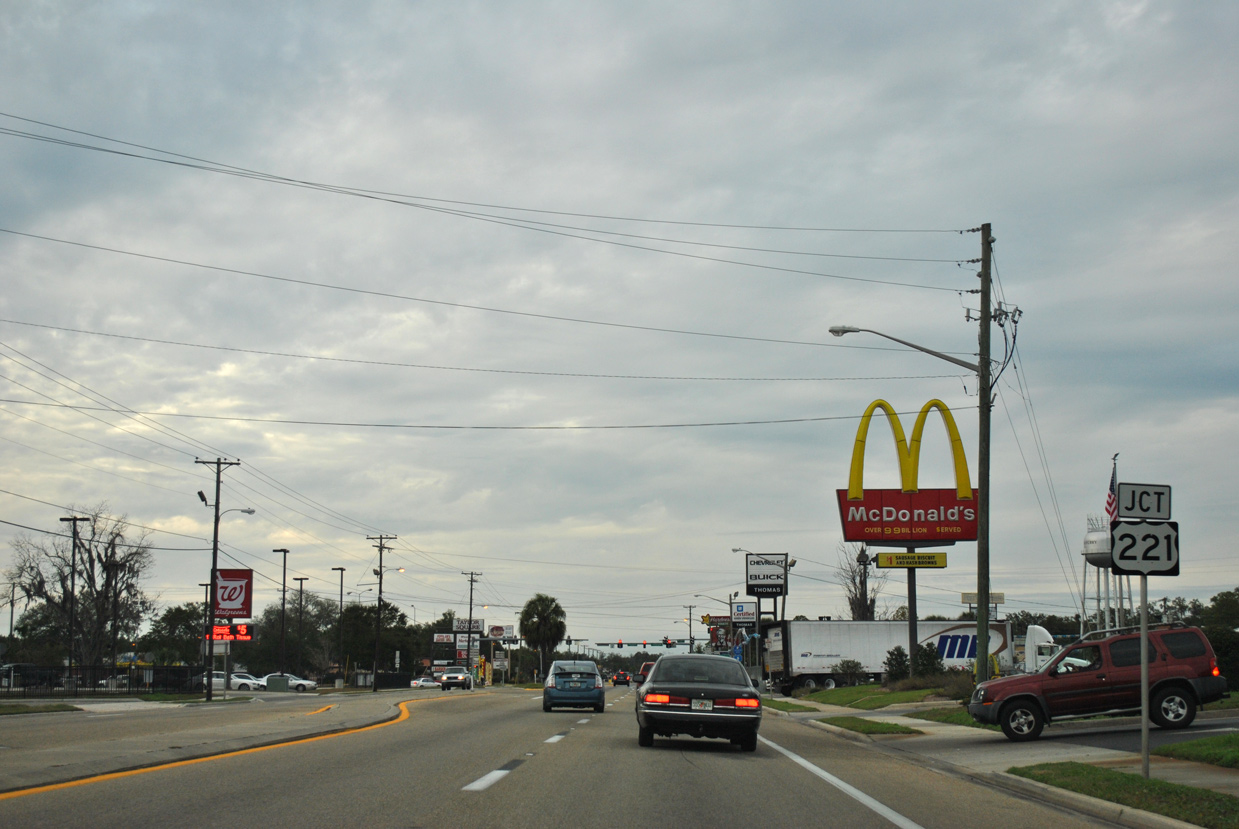
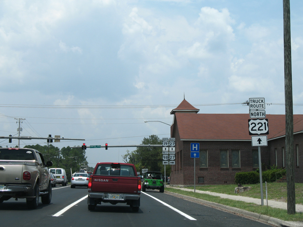
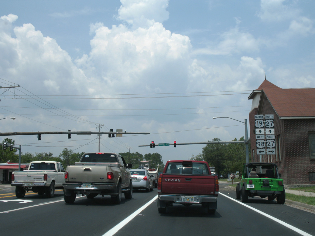
| CR 361A (Puckett Road) runs north to meet U.S. 19/98/27 ALT at the southern terminus of U.S. 221 (Jefferson Street) in Perry. 12/26/11 |
|
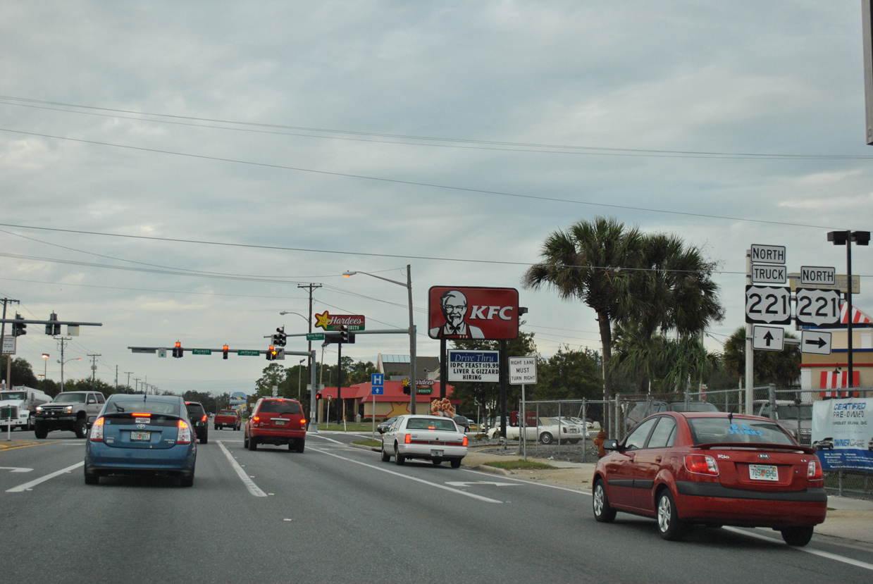
| U.S. 221 takes Jefferson Street north to U.S. 27 at Downtown Perry. A truck route for U.S. 221 accompanies U.S. 19/98/27 ALT north along Byron Butler Parkway. U.S. 221 travels north to Greenville and Quitman, Georgia. 12/26/11 |
|
| U.S. 19/98/27 ALT (Byron Butler Parkway) shift west to bypass Downtown Perry. 12/26/11 |
|
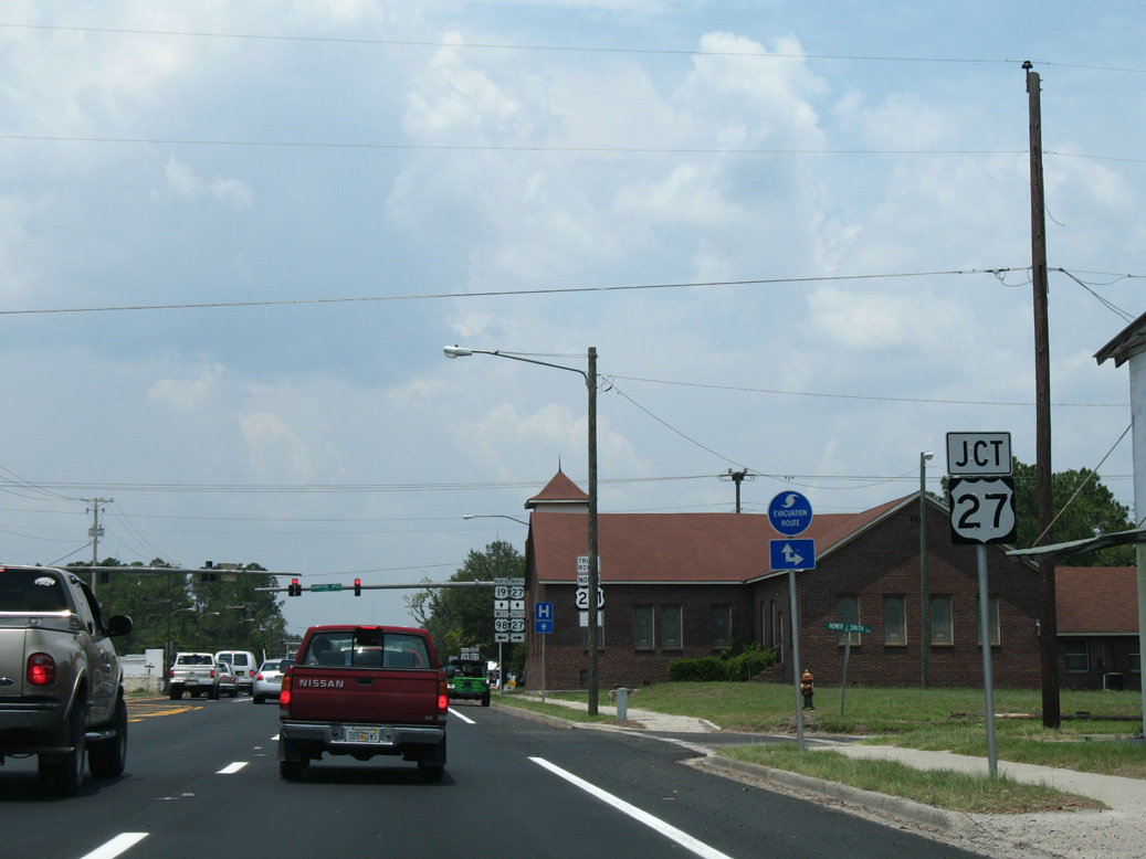
| Curving northward from Church Street, U.S. 19/98 approach their split at U.S. 27 (Hampton Springs Avenue). 06/08/09 |
|
| U.S. 27 crosses the city of Perry east en route to Mayo, Branford and High Spring. U.S. 221 was realigned to overlap with U.S. 27 west from Jefferson Street in 2020 to circumvent Downtown Perry. 07/13/07 |
|
| The realignment of U.S. 221 replaced the truck route northward alongside U.S. 19/27, 2.79 miles to Wright Road (SR 359A). 07/13/07 |
|
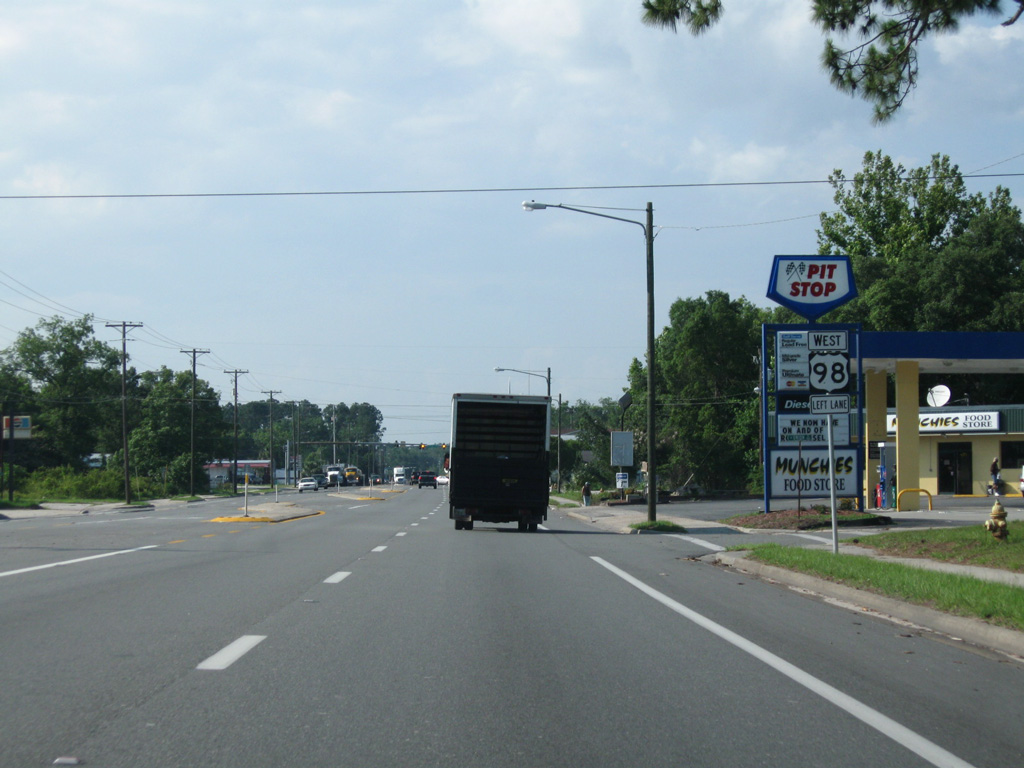
| U.S. 98 turns west along Hampton Springs Avenue toward Newport in Wakulla County. U.S. 27 Alternate ends as U.S. 27 combines with U.S. 19 northwest to Capps in Jefferson County. 07/13/07 |
Page Updated 04-28-2020.


 North
North