|
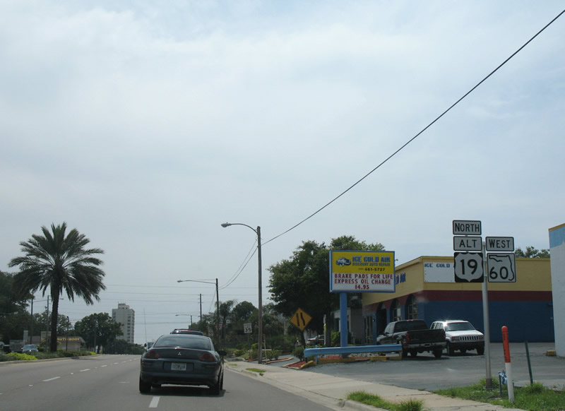
| U.S. 19 Alternate north / SR 60 west combine along Court Street between Missouri Avenue (SR 651) and Myrtle Avenue. U.S. 19 Alternate was realigned east from Fort Harrison Avenue to Missouri Avenue in 2007. 06/21/07 |
|
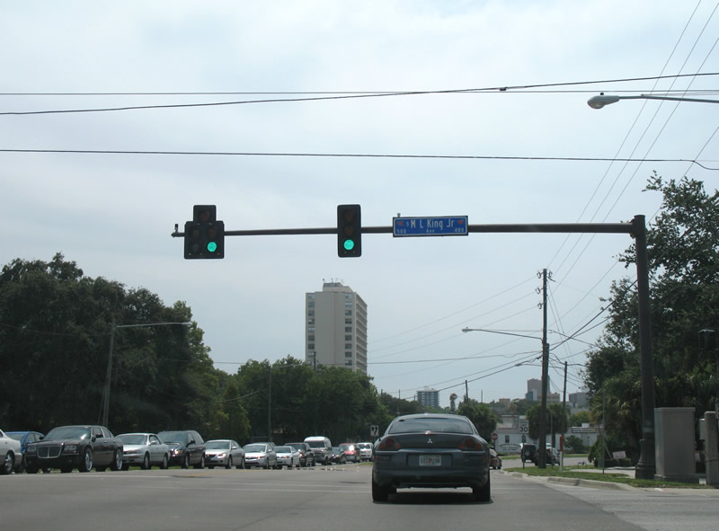
| Martin Luther King, Jr. Avenue intersects U.S. 19 Alternate/SR 60 (Court Street) ahead of their split with Chestnut Street. 06/21/07 |
|
| The couplet of Chestnut Street (east) and Court Street (west) carries SR 60 between MLK, Jr. Avenue and the Memorial Causeway Bridge. 06/21/07 |
|
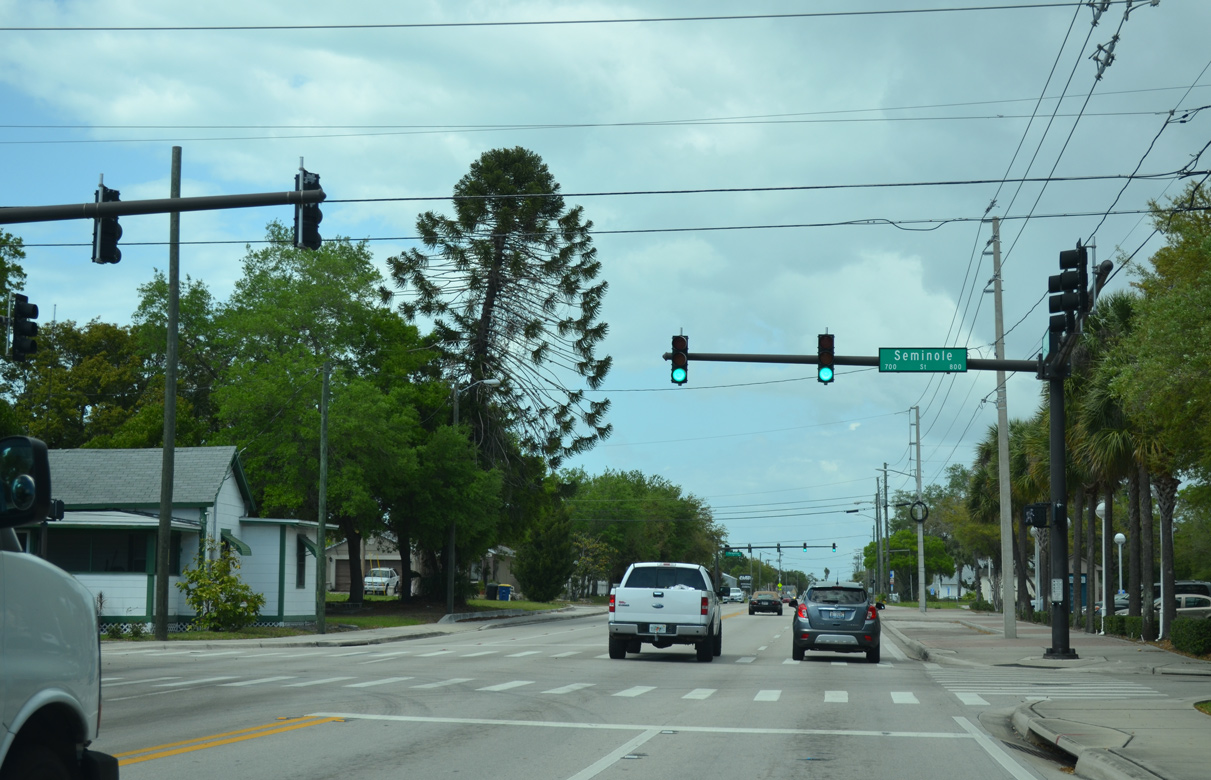
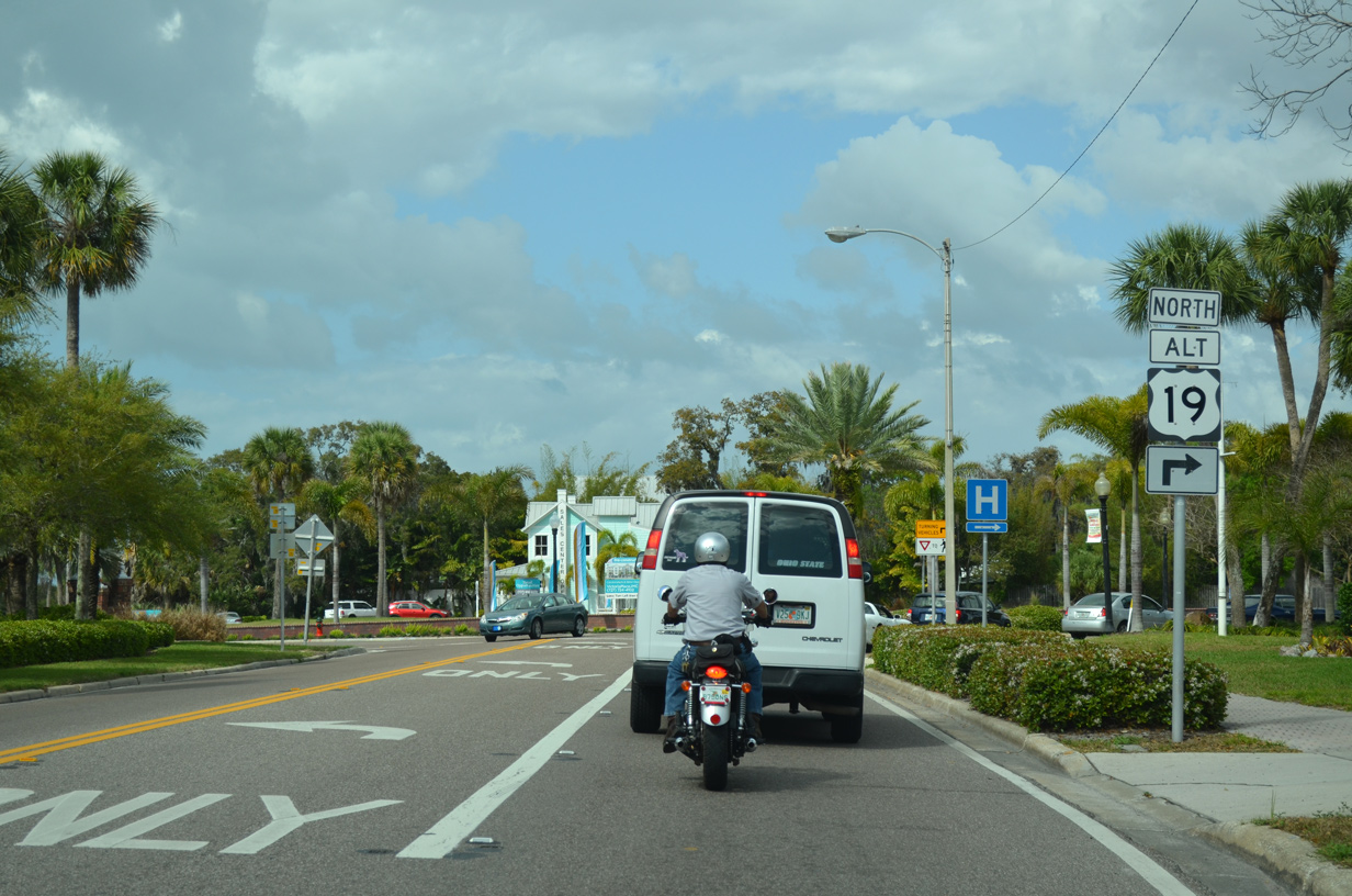
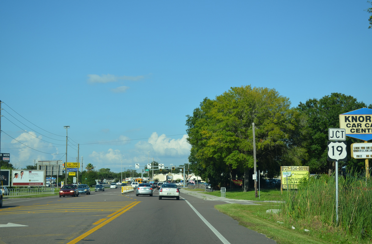
| U.S. 19 Alternate north splits with SR 60 (Court Street) west one block beyond Prospect Avenue. Myrtle Avenue carries U.S. 19 Alternate north from SR 60 to Fort Harrison Avenue at Venetian Point. 06/21/07 |
|
| U.S. 19 Alternate south travels one block south along Myrtle Avenue to Chestnut Street east and north from Clearwater to Downtown Dunedin via Edgewater Drive. 06/21/07 |
|
| U.S. 19 Alternate rejoins SR 595 along Myrtle Avenue north from State Road 60. Pictured here is Myrtle Avenue (SR 595) north at SR 60 (Court Street) west. 03/11/15 |
|
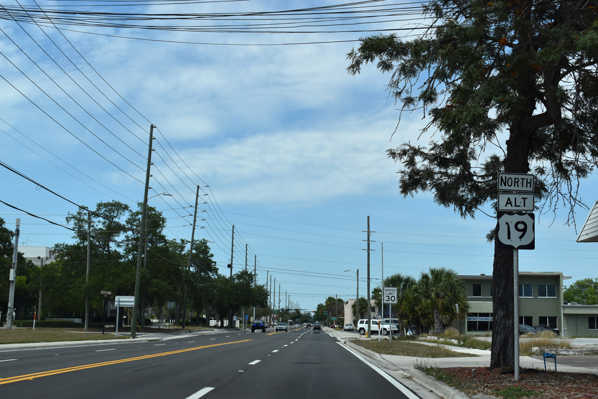
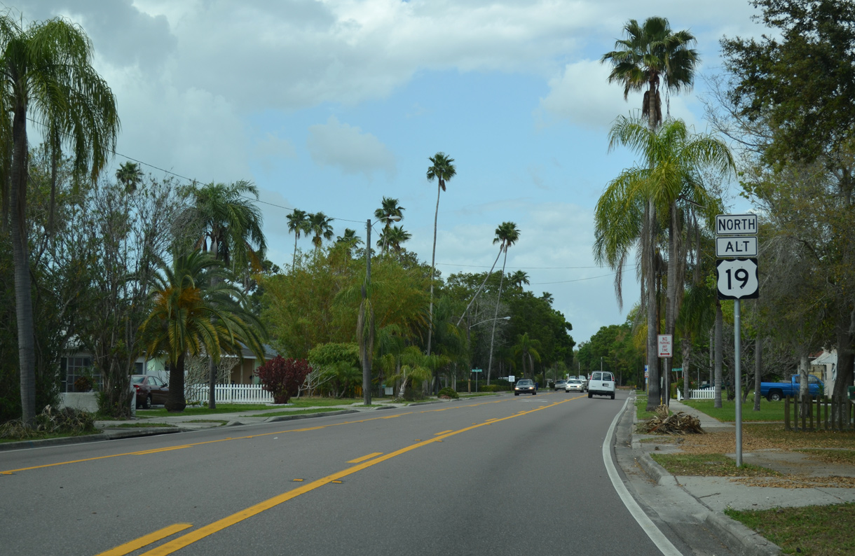
| U.S. 19 Alternate overlays Myrtle Avenue 1.59 miles north from Chestnut Street (SR 60) to Pleasant Street. There it transitions onto Fort Harrison Avenue, its pre-2007 alignment to the west from Downtown Clearwater. 04/03/20 |
|
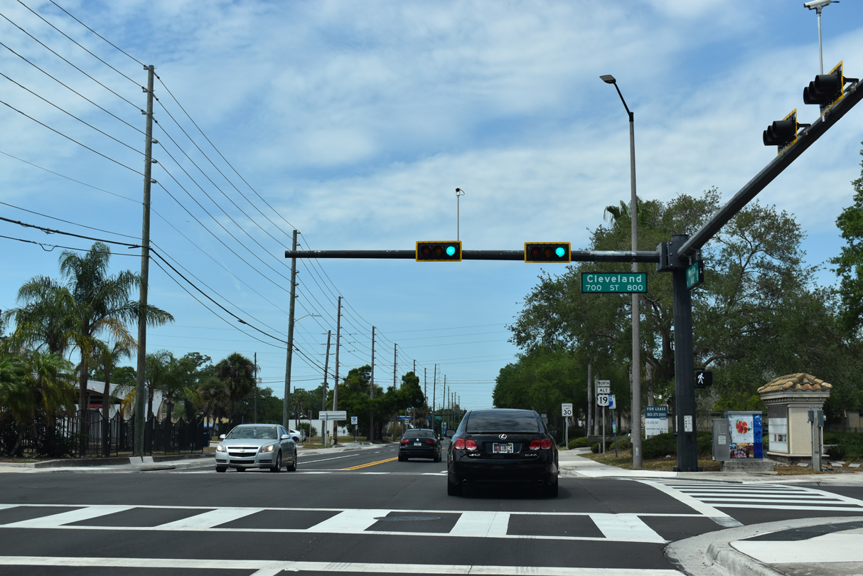
| Myrtle Avenue north at Cleveland Street, the former alignment of State Road 60. With the completion of the new Memorial Causeway bridge over the Intracoastal Waterway in 2005, SR 60 was realigned to the south. 04/03/20 |
|
| U.S. 19 Alternate reassurance marker posted after Cleveland Street on Myrtle Avenue. 04/03/20 |
|
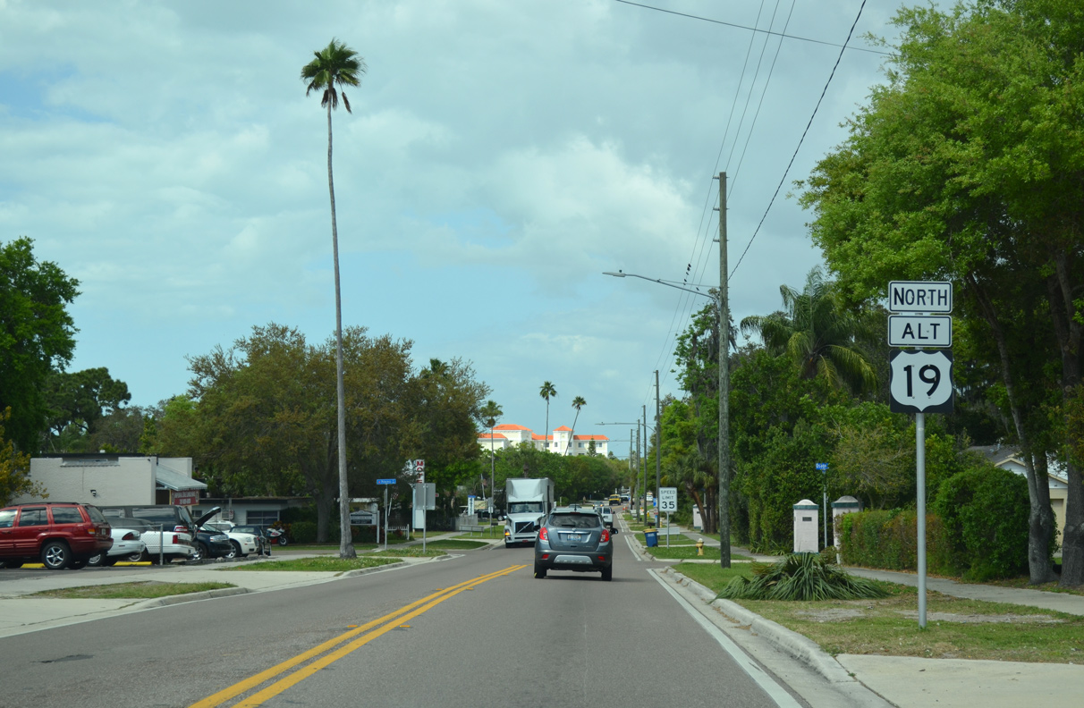
| Proceeding north three blocks from Cleveland Street (old SR 60), U.S. 19 Alternate meets the west end of State Road 590. SR 590 lines Drew Street east to the Skycrest neighborhood and Coachman Road. 04/03/20 |
|
| SR 590 previously extended west along Drew Street to Fort Harrison Avenue (former U.S. 19 Alternate). The state road was truncated with the U.S. 19A realignment. SR 590 consists of two segments: 6.80 miles from Clearwater to Downtown Safety Harbor and 1.35 miles along Phillippe Parkway to SR 580 in north Safety Harbor. 04/03/20 |
|
| The ensuing stretch of Myrtle Avenue leads U.S. 19 Alternate north from SR 590 across a CSX Railroad spur. 03/11/15 |
|
| A series of traffic lights join U.S. 19 Alternate (Myrtle Avenue) with residential streets through the North Greenwood neighborhood of Clearwater. 03/11/15 |
|
| Fort Harrison Avenue (old U.S. 19 Alternate) ties into Myrtle Avenue at Fairmont Street. 03/11/15 |
|
| Fort Harrison Avenue overtakes Myrtle Avenue north from Mohawk and Pleasant Streets at the Bayview Heights neighborhood. 03/11/15 |
|
| Crossing Stevenson Creek, U.S. 19 Alternate transitions from Fort Harrison Avenue onto Edgewater Drive. 03/11/15 |
|
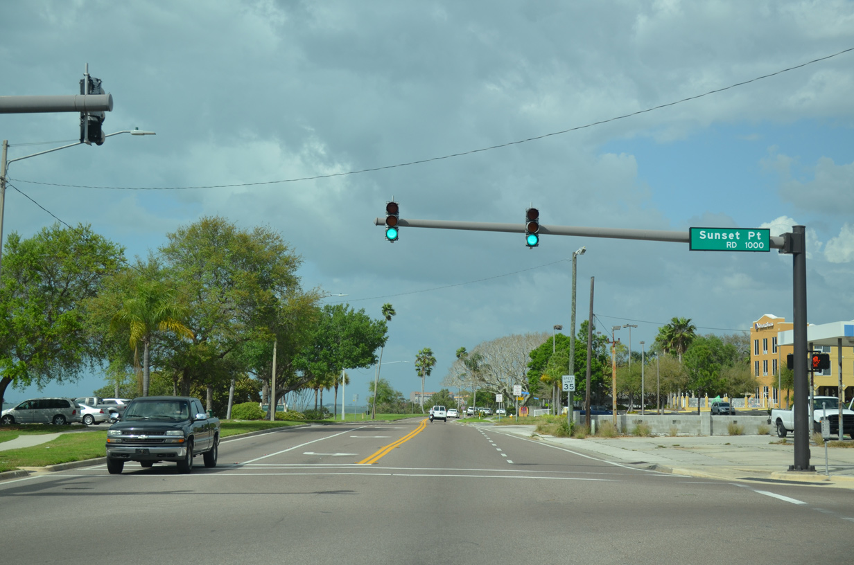
| Sunset Point Road (CR 576) connects with U.S. 19 Alternate just beyond Stevenson Creek. County Road 576 travels 1.93 miles east to Keene Road (CR 1) and 5.98 miles to Main Street and 10th Avenue N (old SR 590) in Safety Harbor. 03/11/15 |
|
| Edgewater Drive hugs the east shore of Clearwater Harbor northward into the city of Dunedin. 03/11/15 |
|
| County Road 600 (Union Street) ties into U.S. 19 Alternate at the Dunedin/Clearwater city line. This confirming marker follows along Edgewater Drive northbound. 03/11/15 |
|
| Edgewater Drive north of Beltrees Street. Beltrees Street links U.S. 19 Alternate with Douglas Avenue at Dunedin Stadium, Spring Training home of the Toronto Blue Jays. 03/11/15 |
|
| Approaching Downtown Dunedin, U.S. 19 Alternate dog legs east along Main Street between Edgewater Drive and Broadway. 03/11/15 |
|
| Main Street, the former alignment of SR 580, arcs northeast from U.S. 19 Alternate (Broadway) through Downtown Dunedin to connect with the state road at Skinner Boulevard and Bass Boulevard. 03/11/15 |
|
| U.S. 19 Alternate follows Broadway north three blocks to the west end of State Road 580. 03/11/15 |
|
| Broadway north at Tilden Street west and SR 580 (Skinner Boulevard) east. SR 580 constitutes a major arterial route joining north Pinellas County with Tampa via Safety Harbor, Oldsmar and Town 'n'n Country. 03/11/15 |
|
| The unincorporated community of Palm Harbor lies seven miles north of SR 580 in Dunedin along U.S. 19 Alternate north. 03/11/15 |
|
| Reassurance marker posted along Broadway north at San Salvador Drive in Dunedin. 03/11/15 |
|
| Crossing Cedar Creek by Hammock Park, U.S. 19 Alternate (Bayshore Boulevard) intersects Michigan Boulevard. Michigan Boulevard leads 1.4 miles east to the Dunedin Fine Arts Center and County Road 1. 03/11/15 |
|
| The succeeding traffic light along Bayshore Boulevard north is with Palm Boulevard east to Dunedin Golf Club and the Fairway Estates neighborhood. 03/11/15 |
|
| Proceeding north from Curlew Creek through north Dunedin, U.S. 19 Alternate (Bayshore Boulevard) approaches SR 586 (Curlew Road) east and Causeway Boulevard (CR 586) west. 03/11/15 |
|
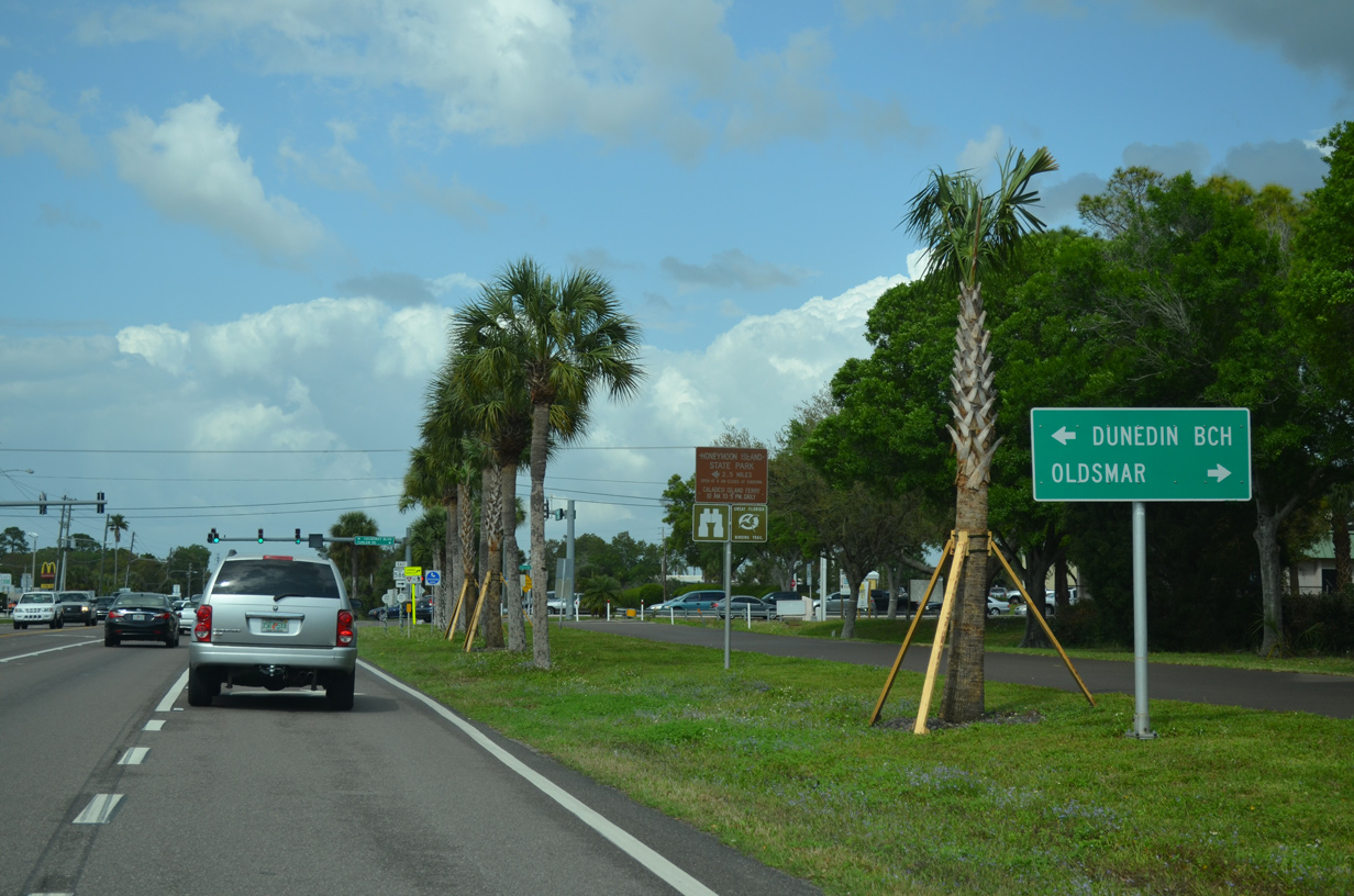
| Causeway Boulevard (unsigned CR 586) spurs 2.65 miles west across St. Joseph Sound to Honeymoon Island State Park. SR 586 follows Curlew Road 5.33 miles east to SR 584 / CR 752 (Tampa Road) in the city of Oldsmar. 03/11/15 |
|
| U.S. 19 Alternate passes by Causeway Plaza shopping center through northern reaches of Dunedin. 10/07/15 |
|
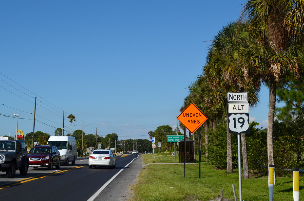
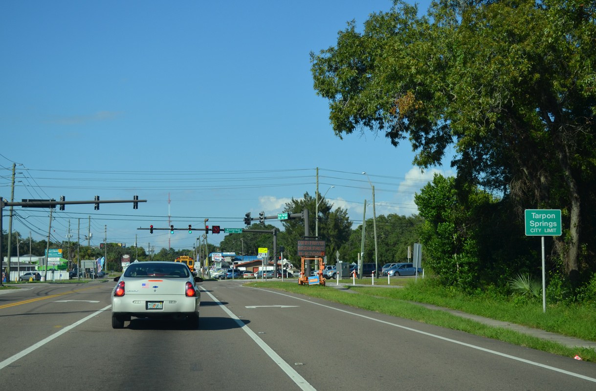
| Palm Harbor lies two miles north of SR 586 (Curlew Road). The city of Tarpon Springs follows in seven miles. 10/07/15 |
|
| The Fred Marquie section of Pinellas Trail spans U.S. 19 Alternate (Bayshore Boulevard) at The Dunedin Youth Guild Park. 10/07/15 |
|
| Leaving Dunedin, U.S. 19 Alternate enters Palm Harbor beyond the intersection with East Avenue south and Orange Street (CR 377) north. 10/07/15 |
|
| Shifting away from St. Joseph Sound at Smith Bayou, U.S. 19 Alternate follows Palm Harbor Boulevard north to County Road 752 (Tampa Road) at Ozona. 10/07/15 |
|
| CR 752 (Tampa Road) originates just west of U.S. 19 Alternate at Orange Street (CR 337). East of Palm Harbor Boulevard, the 5.47 mile long route to SR 584/586 at Oldsmar expands into a four lane arterial. 10/07/15 |
|
| U.S. 19 Alternate (Palm Harbor Boulevard) proceeds north from CR 752 (Tampa Road) to Virginia Avenue (CR 377) east from Ozona. 04/14/20 |
|
| Unmarked on U.S. 19 Alternate (Palm Harbor Boulevard), Alderman Road 2.01 miles east to U.S. 19 is Pinellas County Road 816. 10/07/15 |
|
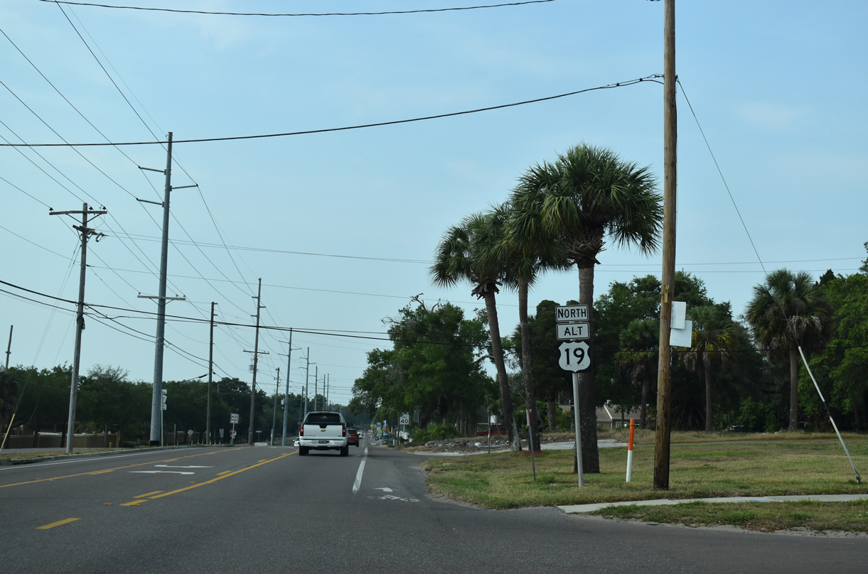
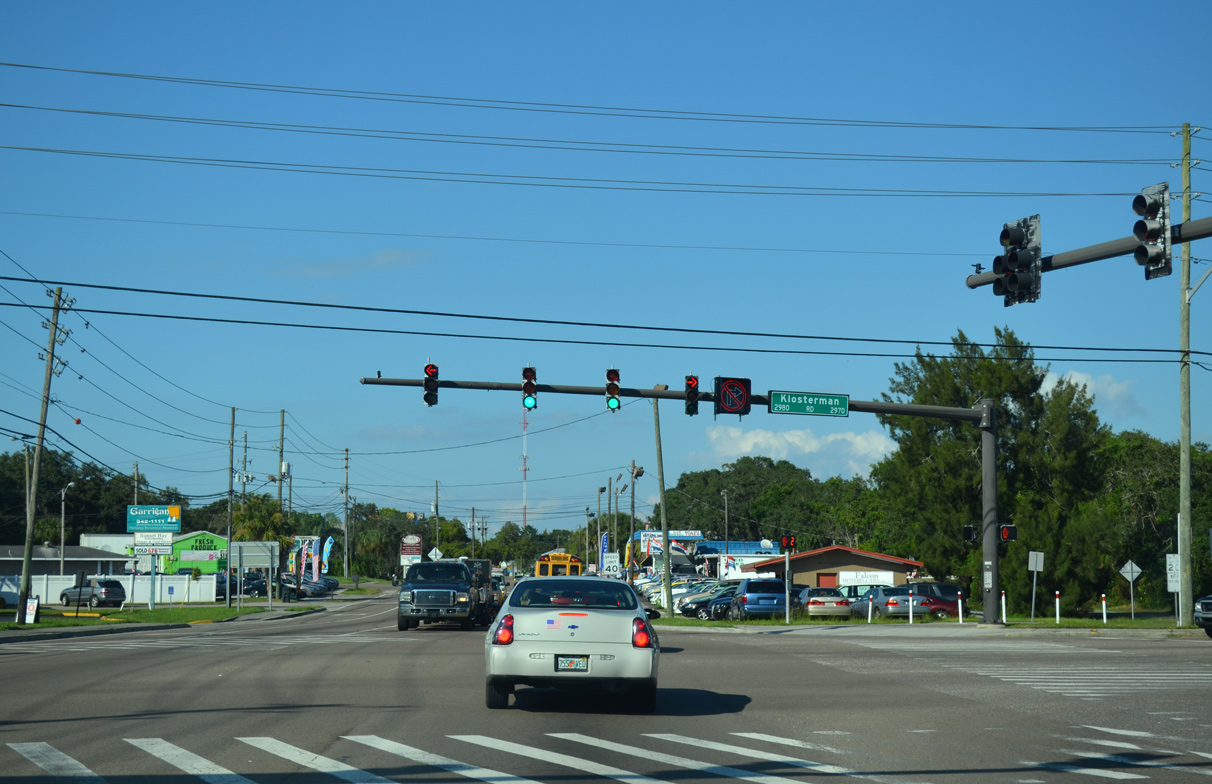
| Passing by Innisbrook, U.S. 19 Alternate continues to the city of Tarpon Springs at Klosterman Road (CR 880). 10/07/15 |
|
| Klosterman Road (CR 880) is an arterial route linking U.S. 19 Alternate (Pinellas Avenue) with U.S. 19 near Lake Tarpon to the east. 10/07/15 |
|
| A set of flashers operate along Pinellas Avenue at Tarpon Springs Golf Course and North Pinellas Hospital. 10/07/15 |
|
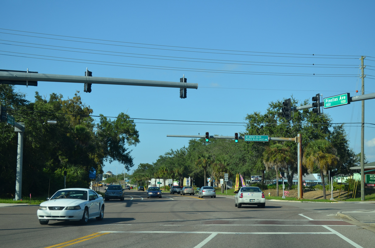
| Meres Boulevard runs south of Whitcomb Bayou from U.S. 19 Alternate (Pinellas Avenue) at Manatee Village shopping center west to Florida Avenue (CR 369). 10/07/15 |
|
| Meres Boulevard is part of unsigned CR 399, a stair stepped route northwest to Gulf Road (CR 928) around Whitcomb Bayou. A confirming marker for U.S. 19 Alternate stands beyond the county road end at Pinellas Avenue. 10/07/15 |
|
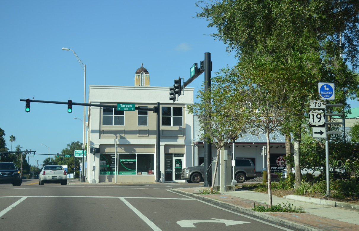
| U.S. 19 Alternate (Pinellas Avenue) intersects Martin Luther King, Jr. Drive ahead of Downtown Tarpon Springs. 10/07/15 |
|
| Pinellas Avenue north at Lemon Street west to Spring Boulevard on Whitcomb Bayou and east to Disston Avenue. 10/07/15 |
|
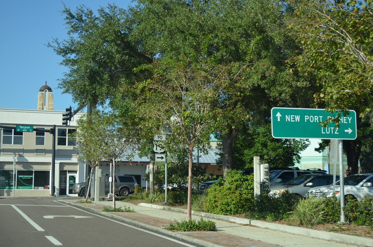
| Tarpon Avenue east from U.S. 19 Alternate to U.S. 19 was a formerly a section of State Road 582. SR 582 and CR 582 joined Tarpon Springs with SR 597 (Dale Mabry Highway) and U.S. 41 at Lutz in northern Hillsborough County. 10/07/15 |
|
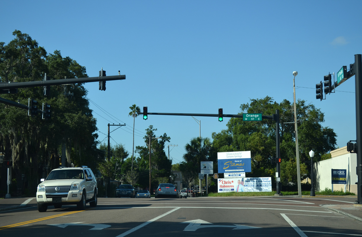
| The ensuing intersection beyond Tarpon Avenue is with Orange Street. Orange Street west leads to Spring Boulevard and Riverside Drive, which spans Tarpon Bayou ahead of the Sunset Hills. 10/07/15 |
|
| Reassurance marker posted northbound at Read Street and the St. Nicholas Community Center in Tarpon Springs. 10/07/15 |
|
| Dodecanese Boulevard and Live Oak Street connect U.S. 19 Alternate with U.S. 19 to the south of the Anclote River. 10/07/15 |
|
| The Anclote River flows west from Land O's Lakes in Pasco County to the Gulf of Mexico along the Tarpon Springs and Pinellas County line. U.S. 19 Alternate crosses the river on a 1956-built bridge. 10/07/15 |
|
| The historic alignment of U.S. 19, Dixie Highway loops east from U.S. 19 Alternate to Anclote River Nature Park and Douglas Drive by the Pasco County line. 10/07/15 |
|
| Anclote Boulevard (unsigned CR 994) straddles the county line west from U.S. 19 Alternate 2.04 miles to CR 595A (Baillies Bluff Road) near the mouth of the Anclote River. 10/07/15 |
|
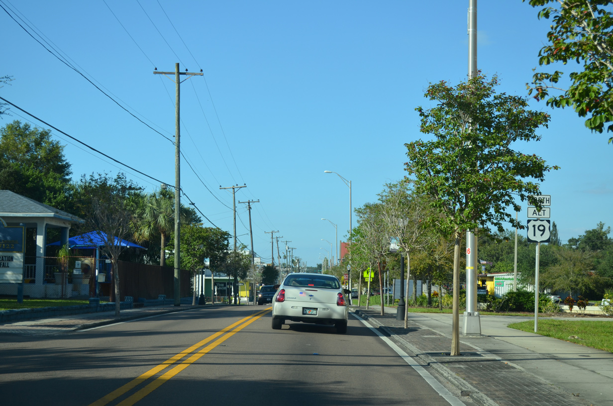
| The northermost 0.86 miles of U.S. 19 Alternate extends into Pasco County. 10/07/15 |
|
| Louis Avenue west and Holiday Lake Drive east come together at this traffic light with U.S. 19 Alternate in unicorporated Holiday. 10/07/15 |
|
| U.S. 19 Alternate converges with U.S. 19 south of Elfers and the city of New Port Richey. 10/07/15 |
|
| U.S. 19 Alternate angles northeast to end at U.S. 19 across from Continental Drive to Holiday Travel Park. 10/07/15 |
Page Updated 04-15-2020.

 West
West